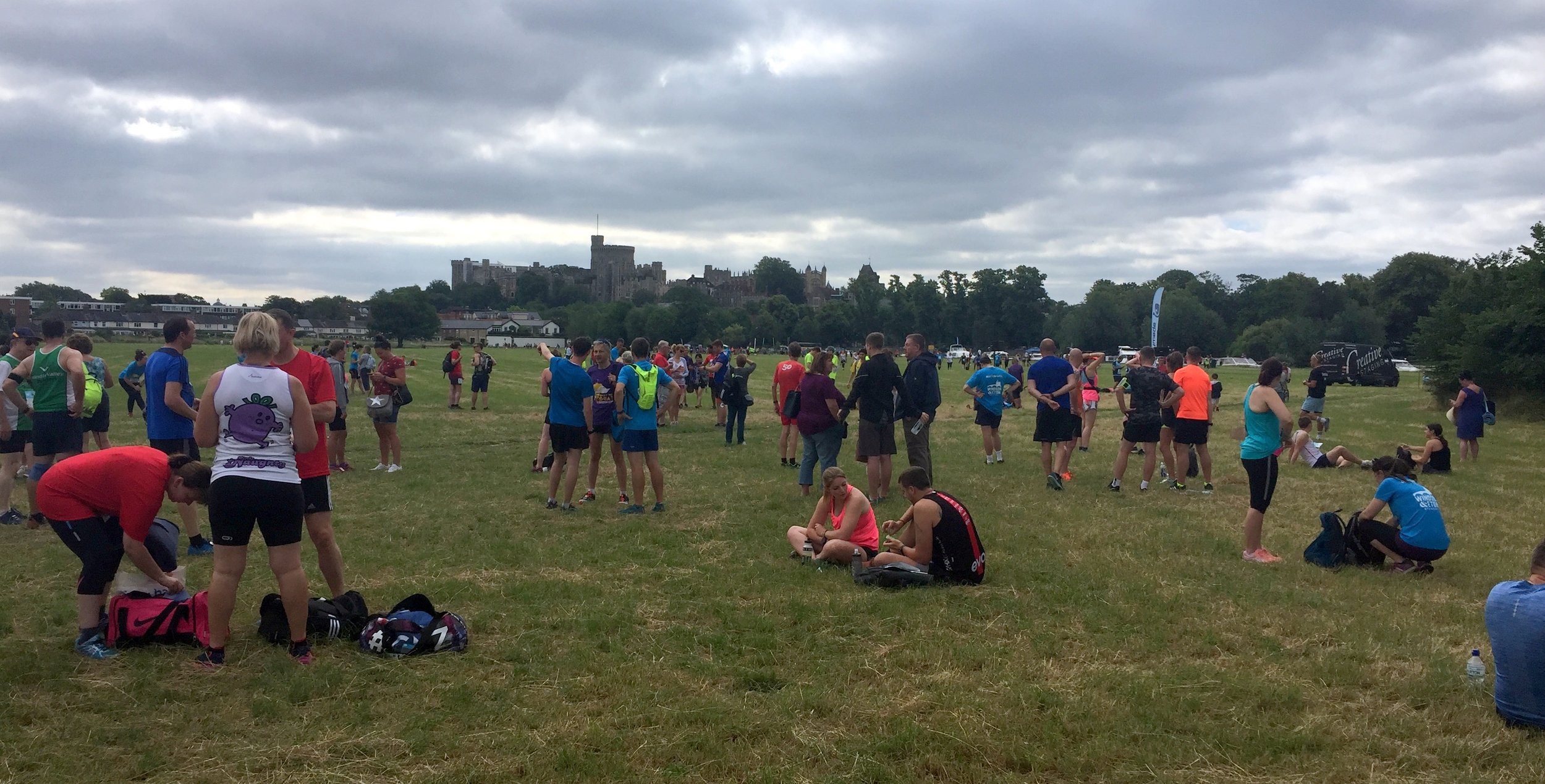
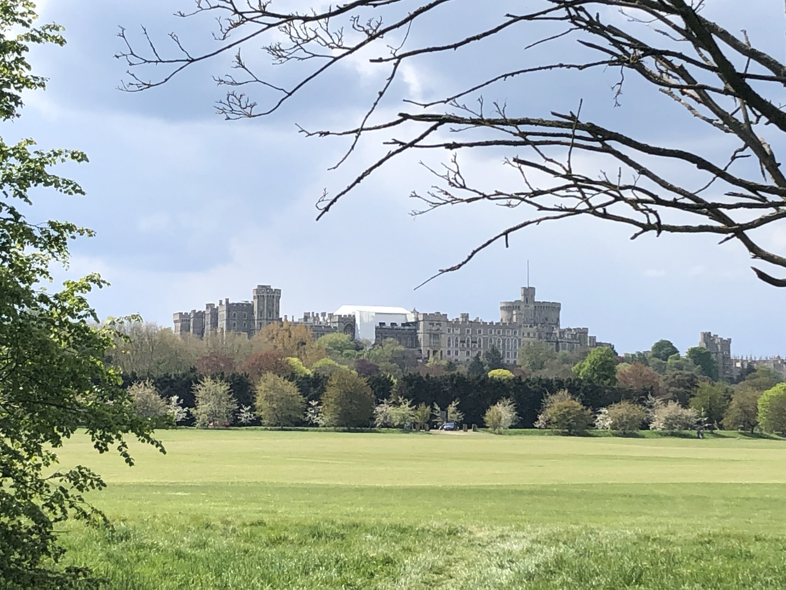
Approaching Windsor Castle on the Long Walk
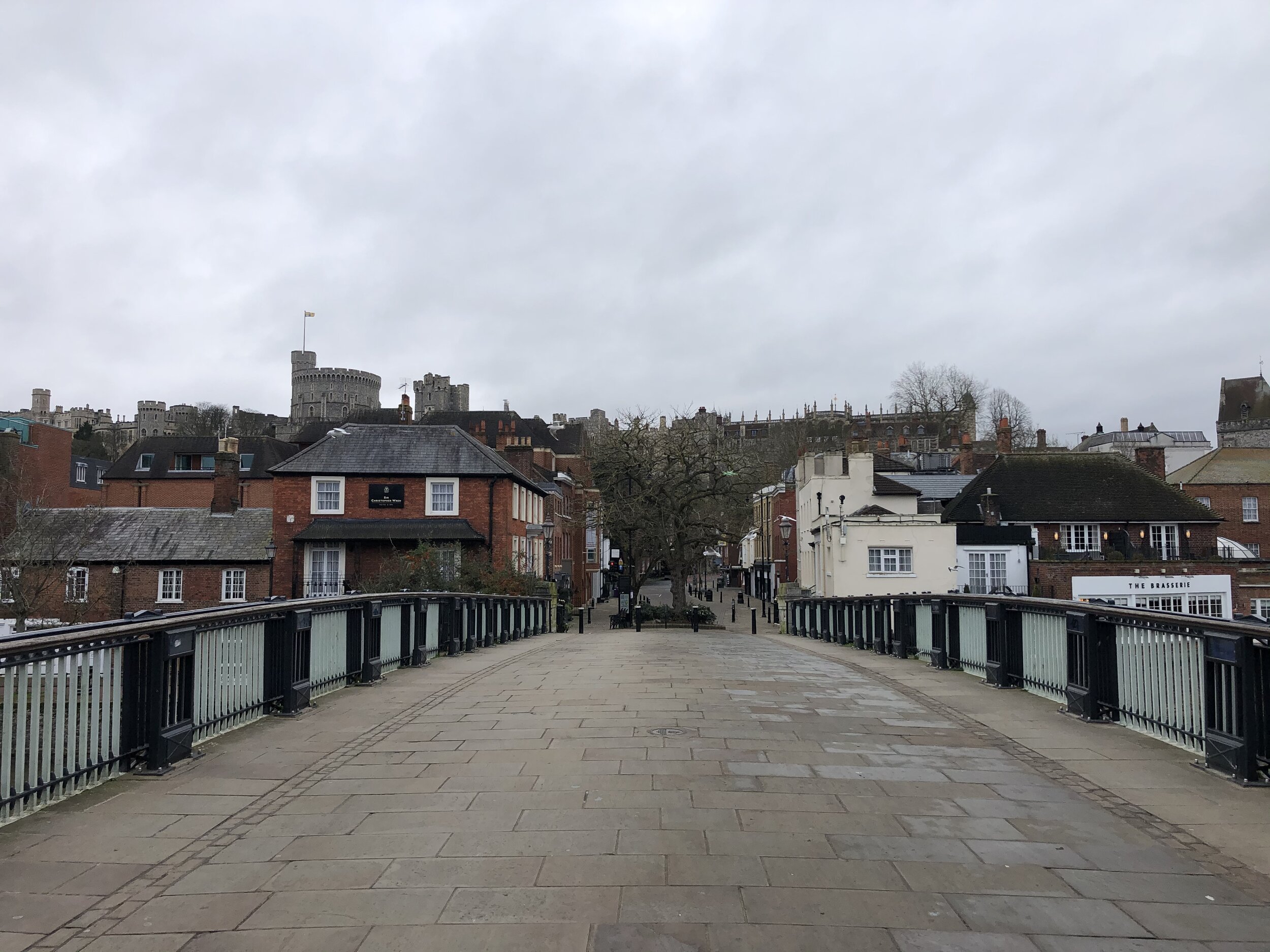
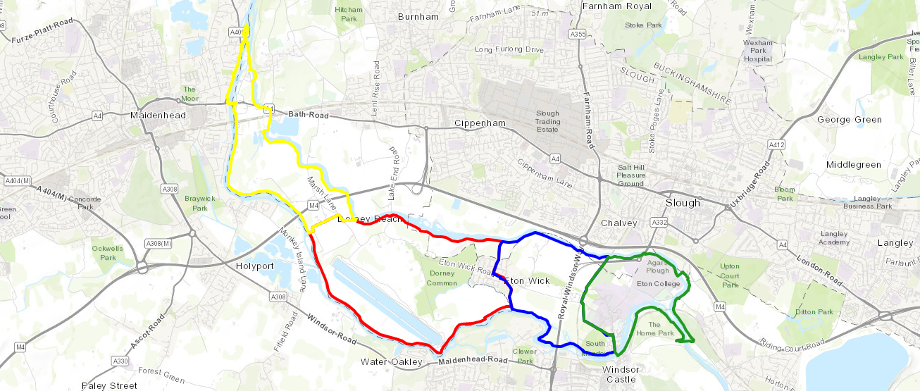
Start & Finish: Windsor & Eton Bridge, Thames Street, Windsor SL4 1PX
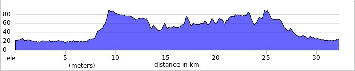
Distance: 9 km (5.6 miles)
Elevation change: + / - 42 m
GPX File: get via Buy Me a Coffee
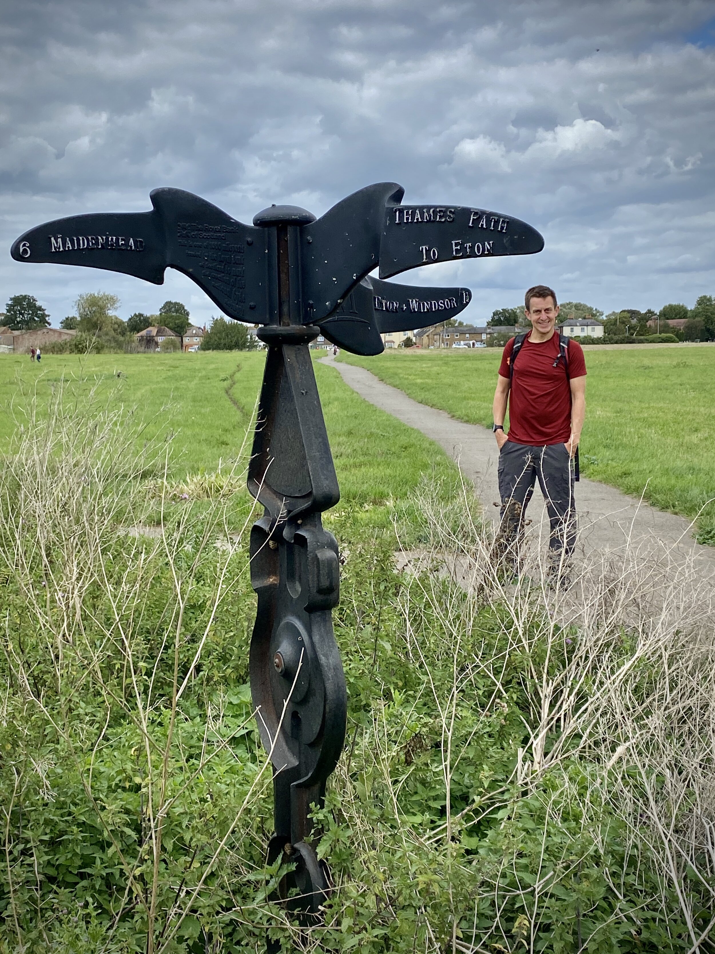
Other routes touched (walk): Thames Path
Other routes touched (cycle): N/A
Pubs / Cafes on route: Coffee Shop at Windsor Farm Shop (5.4 km in), many in Windsor Town Centre
Map: OS Explorer Map (160) Windsor, Weybridge & Bracknell
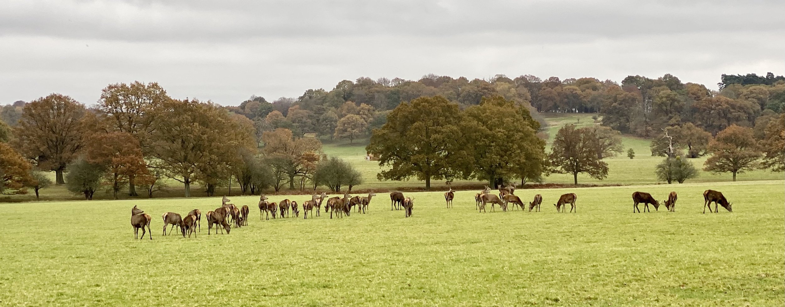
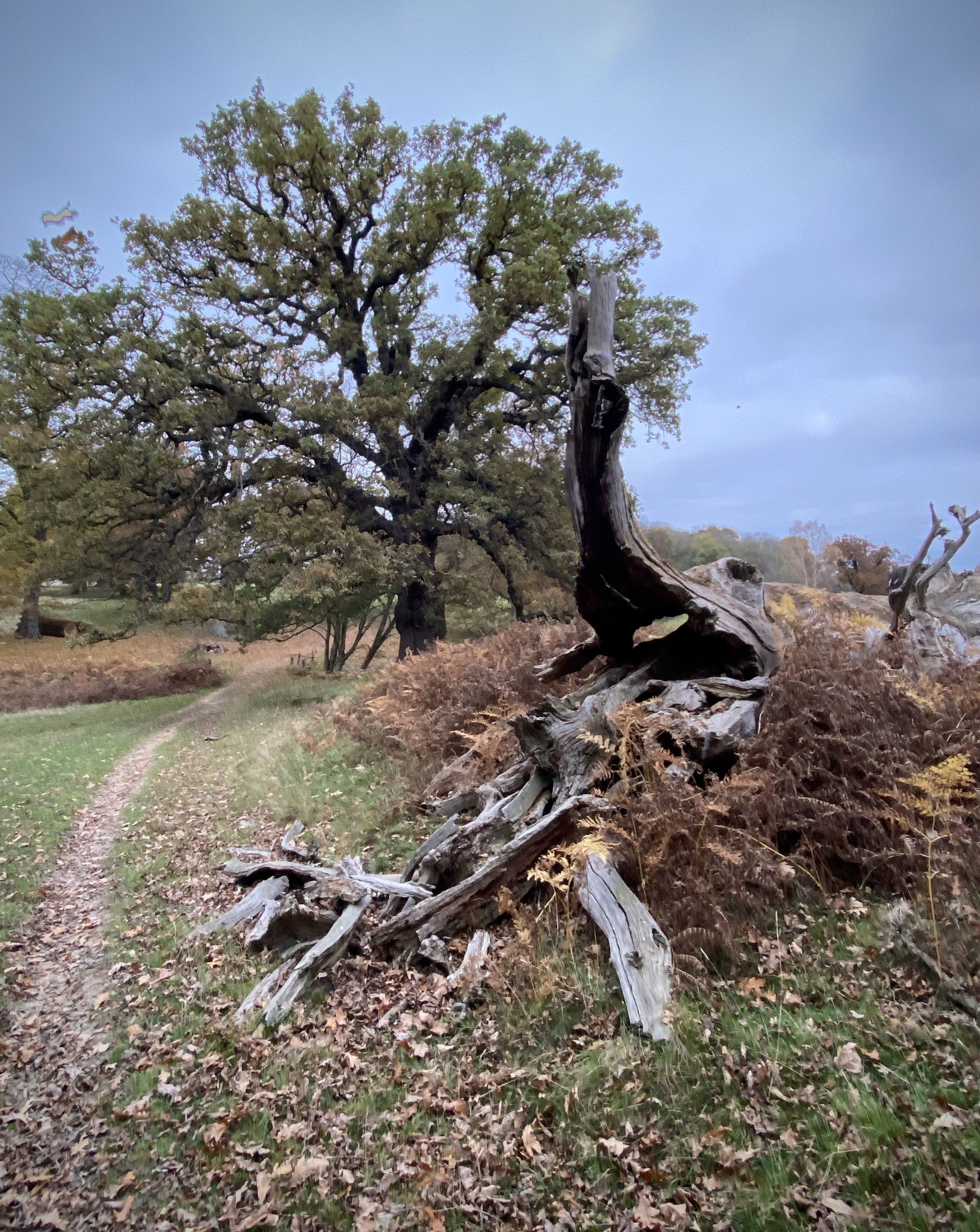
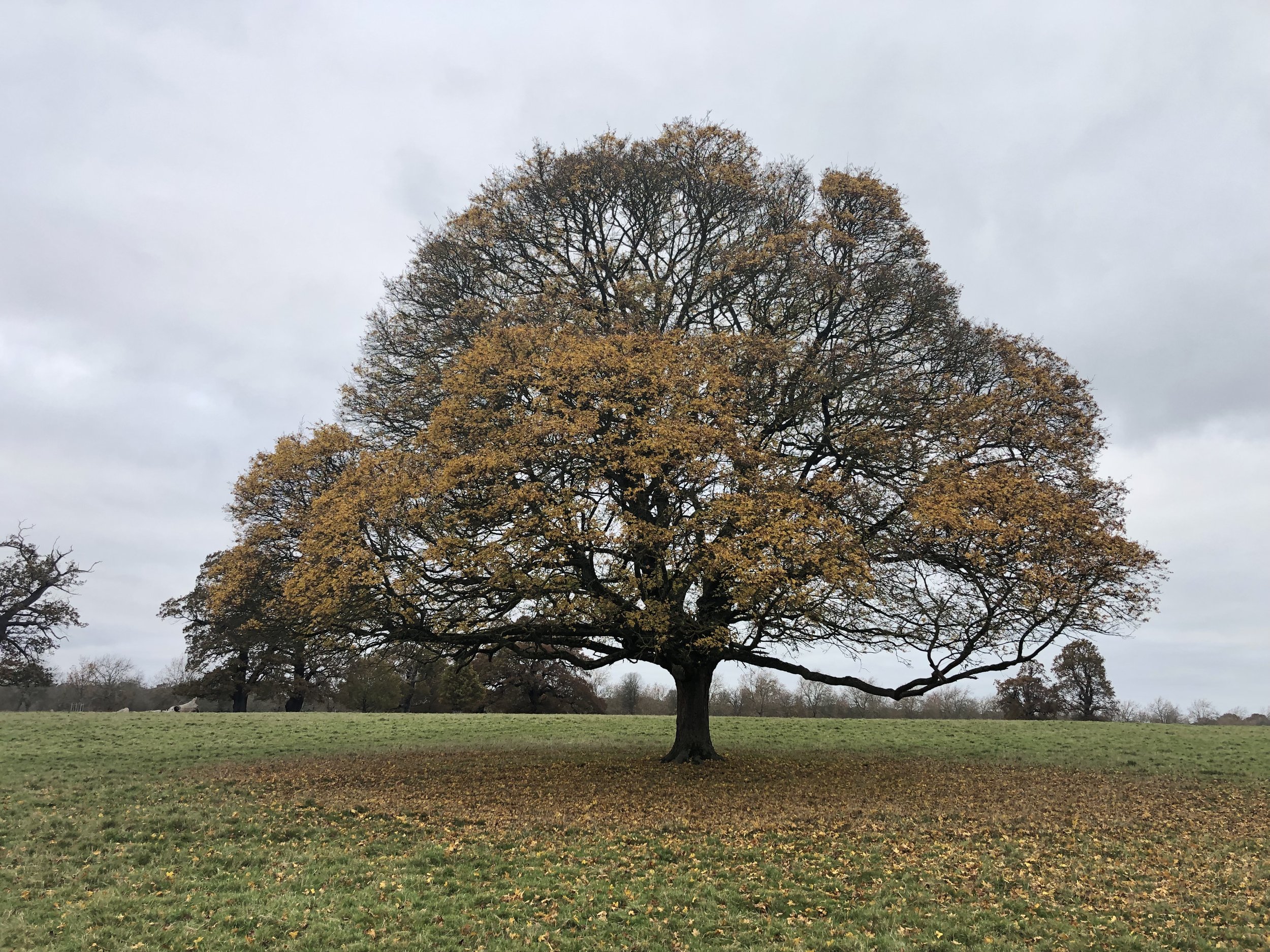
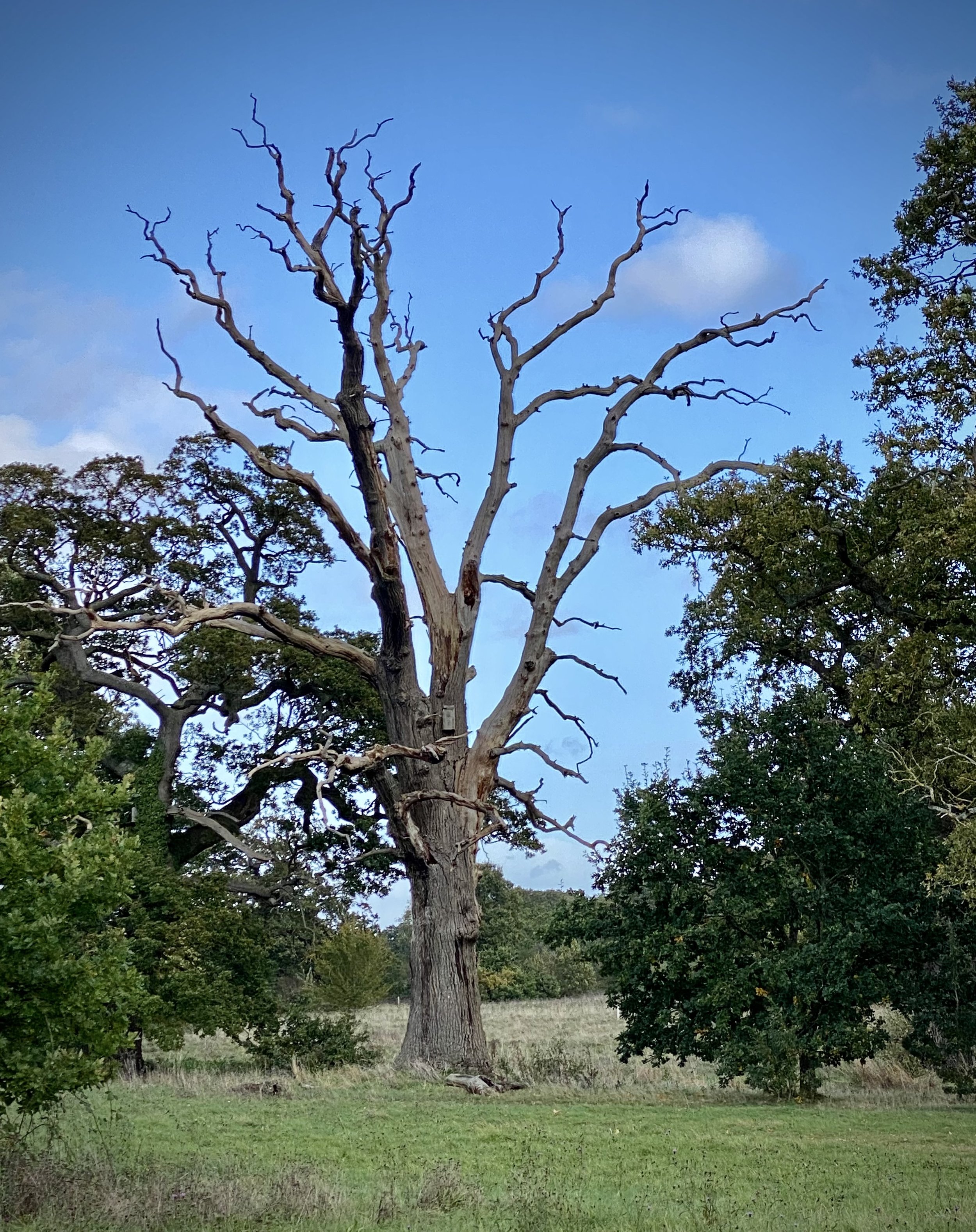
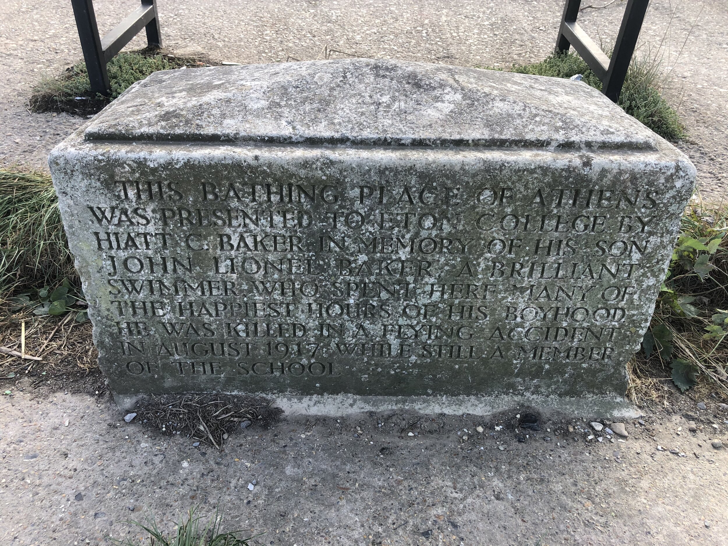
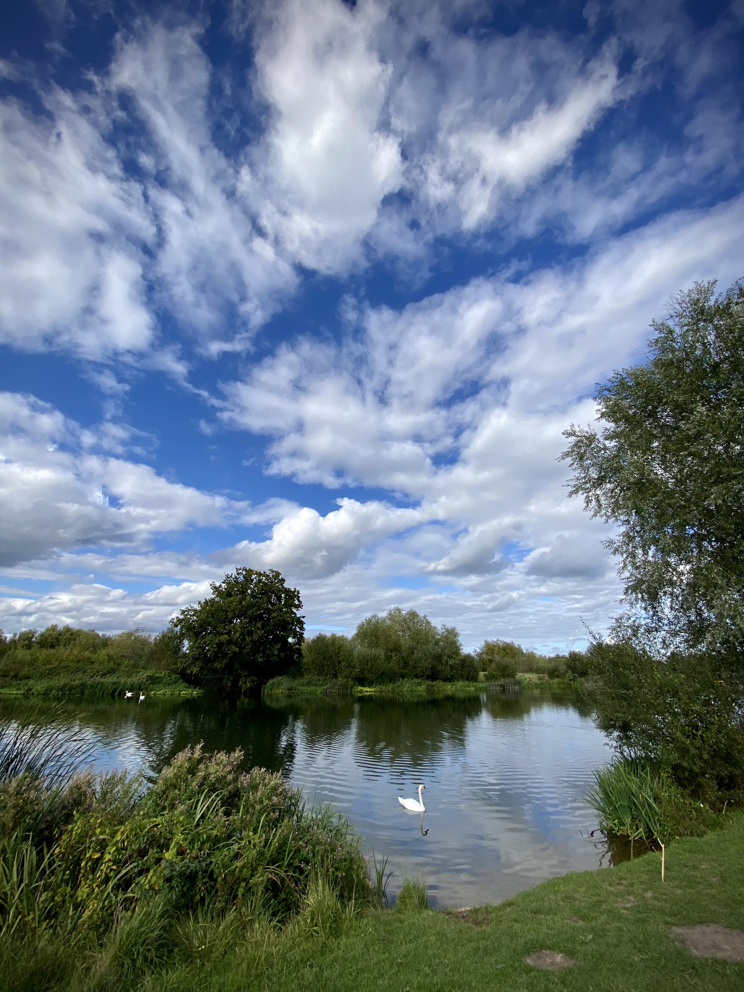
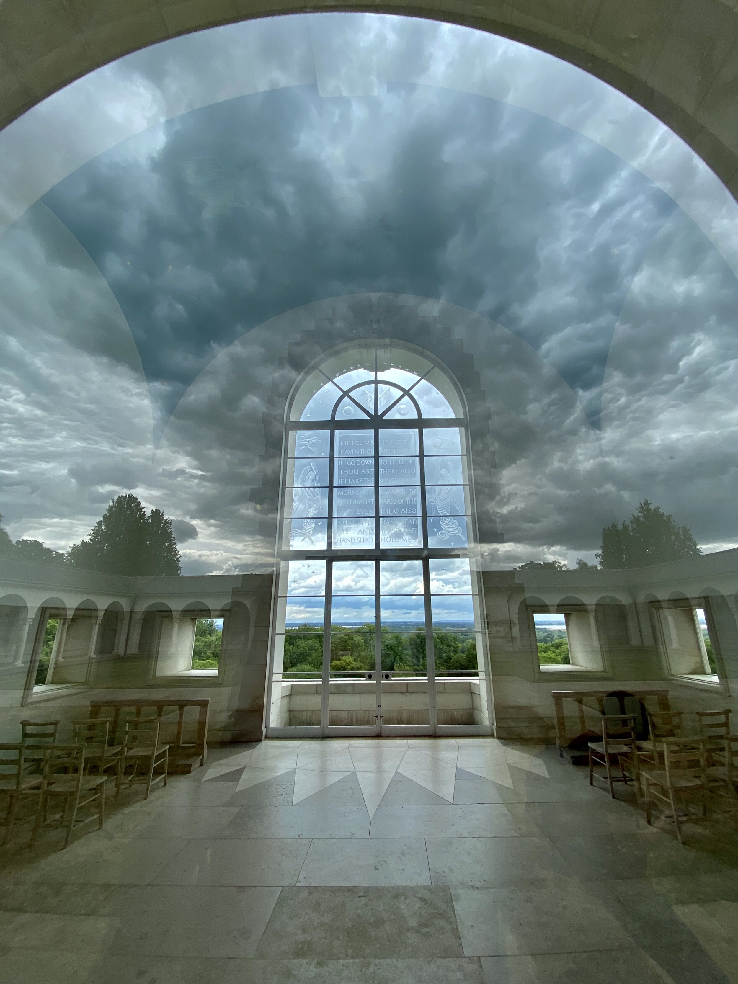
Links: Windsor, Windsor Home Park, Datchet, The Long Walk
This is part of a series of short circular walks containing the Thames Path National Trail. This one connects the 4th section of the Thames Path and Jubilee River series with the Runnymede and Old Windsor Circular. It’s also a great circuit of the perimeter of Windsor Castle and Home Park.
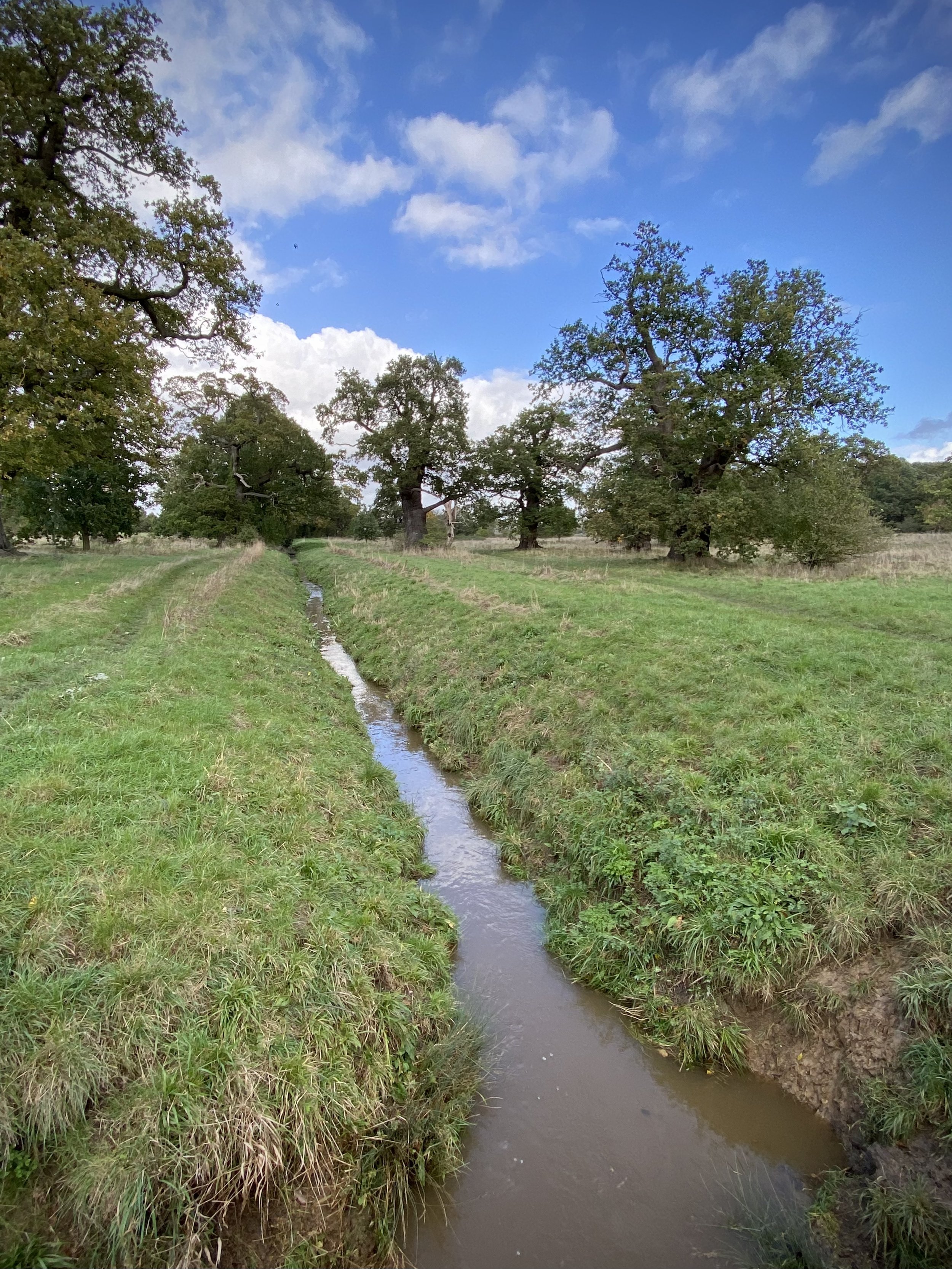
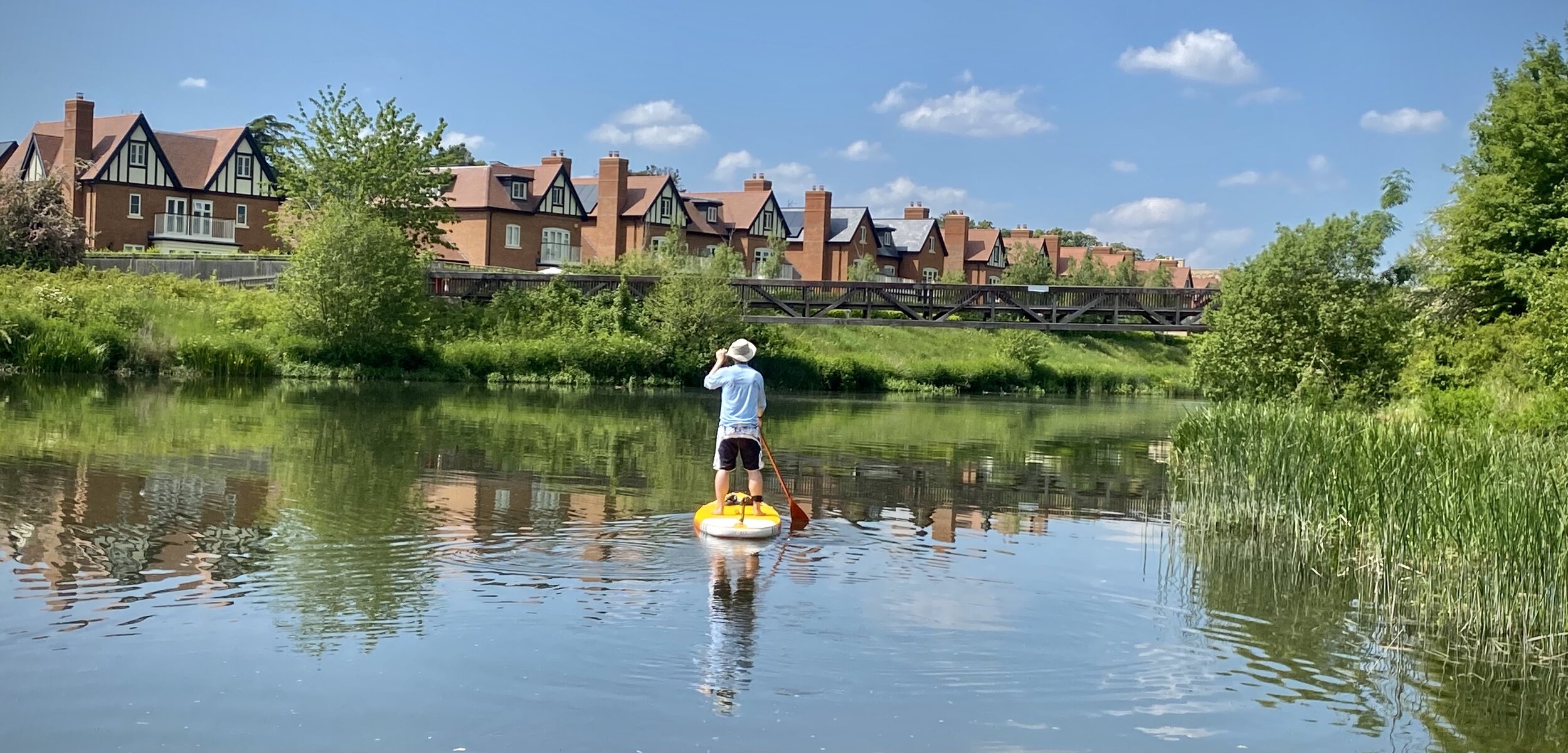
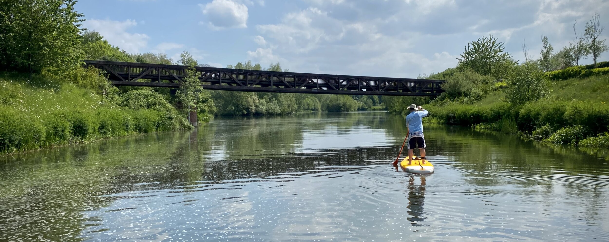
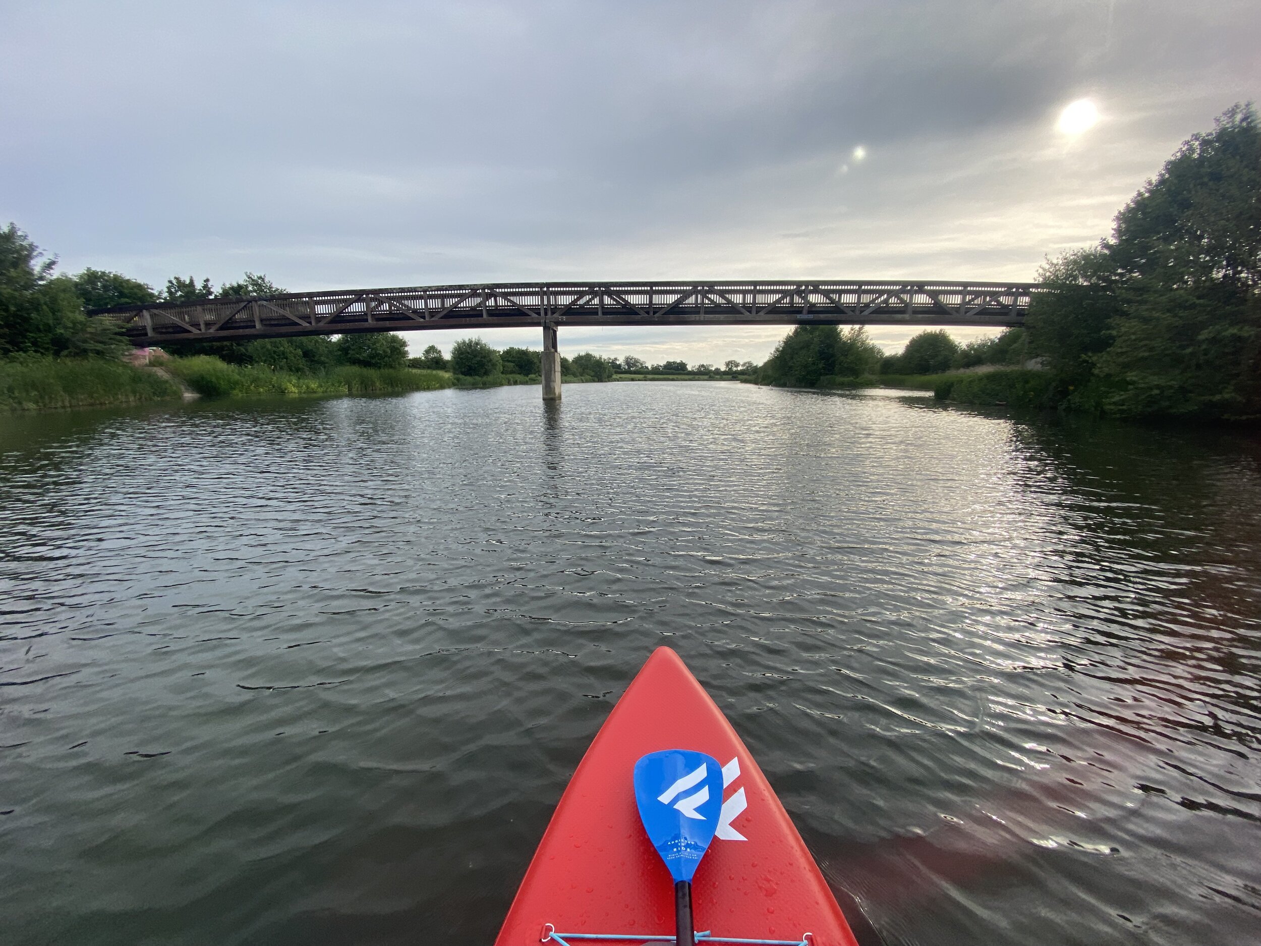
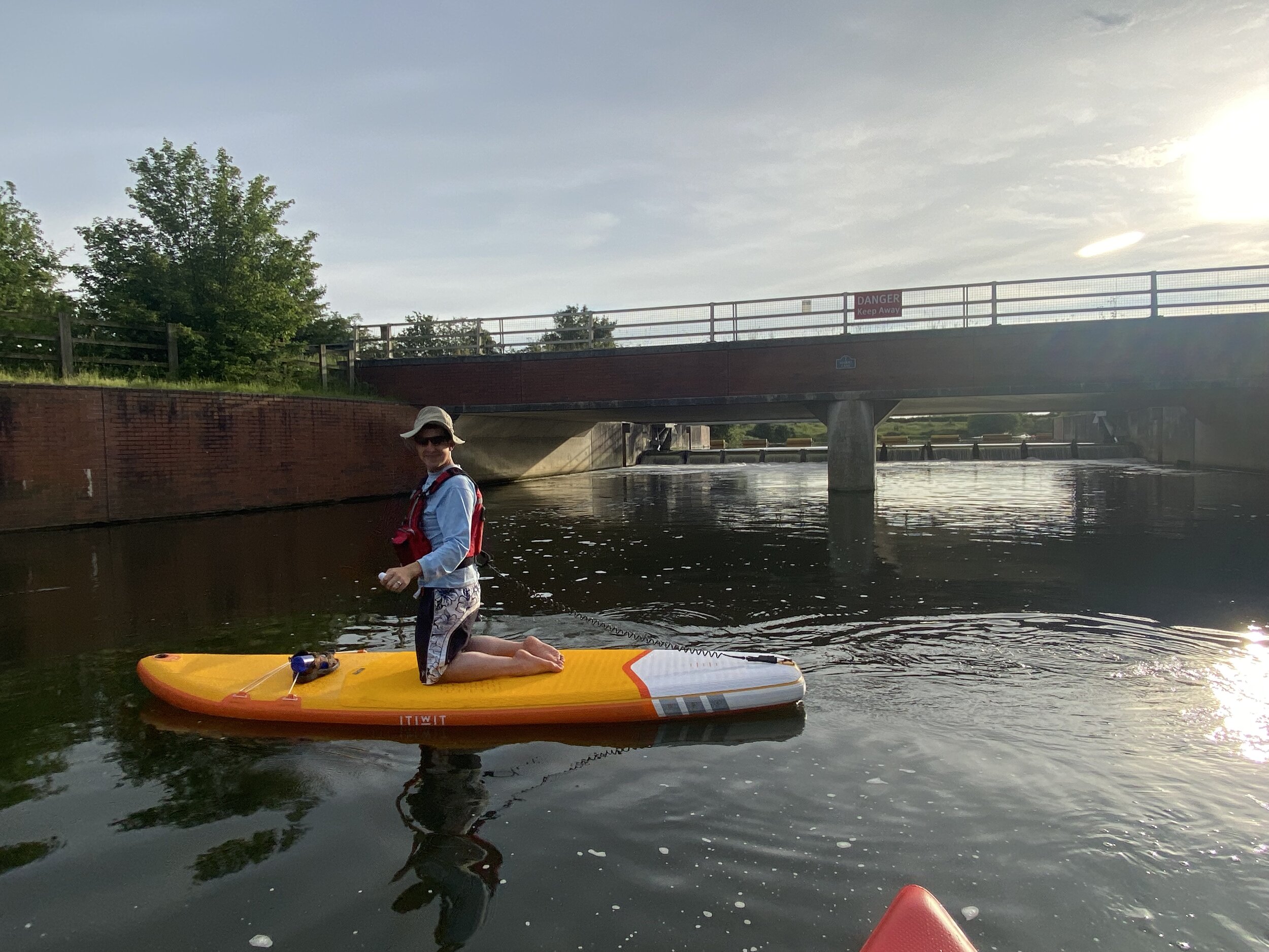
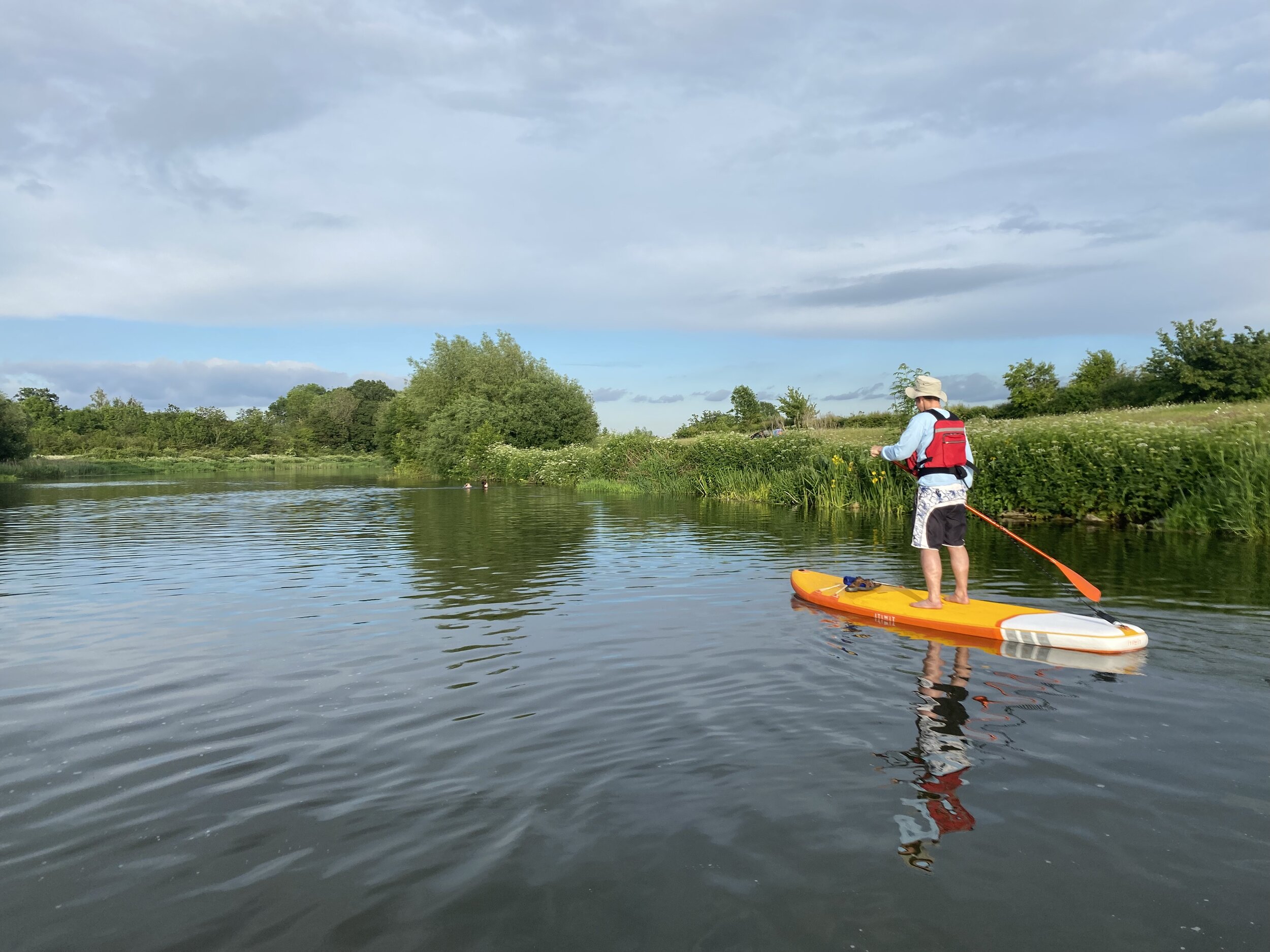
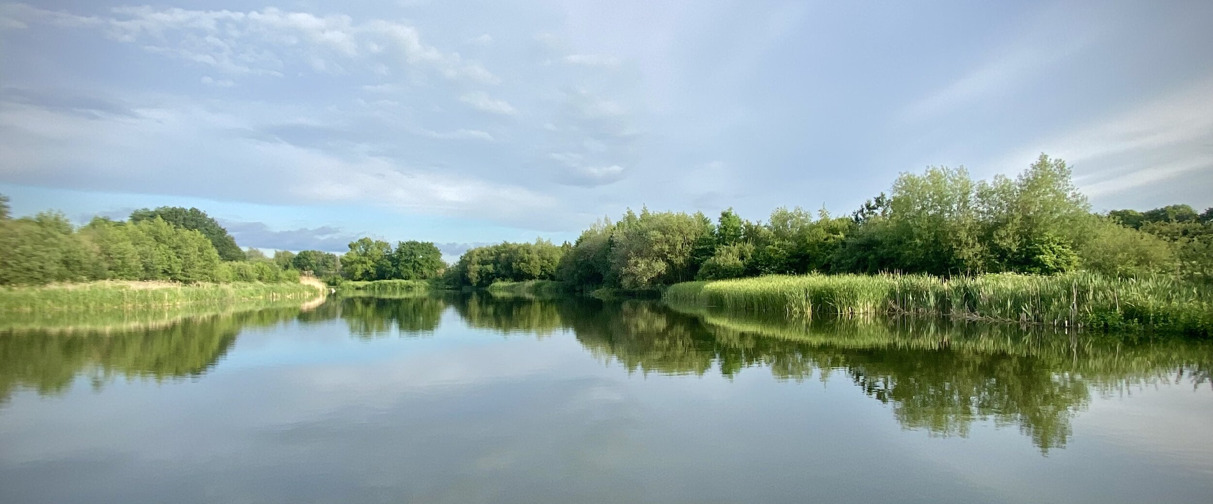
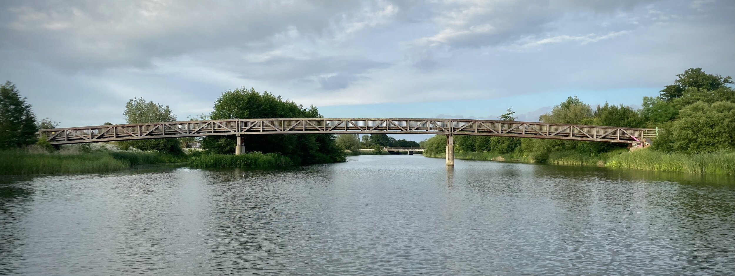
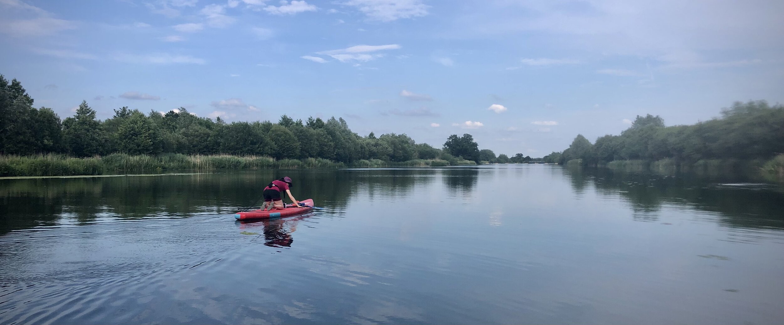
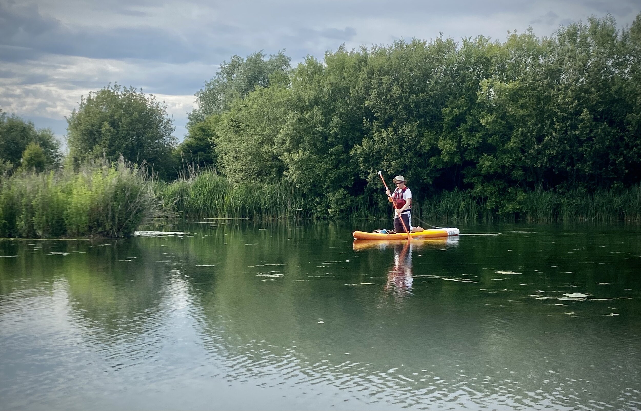
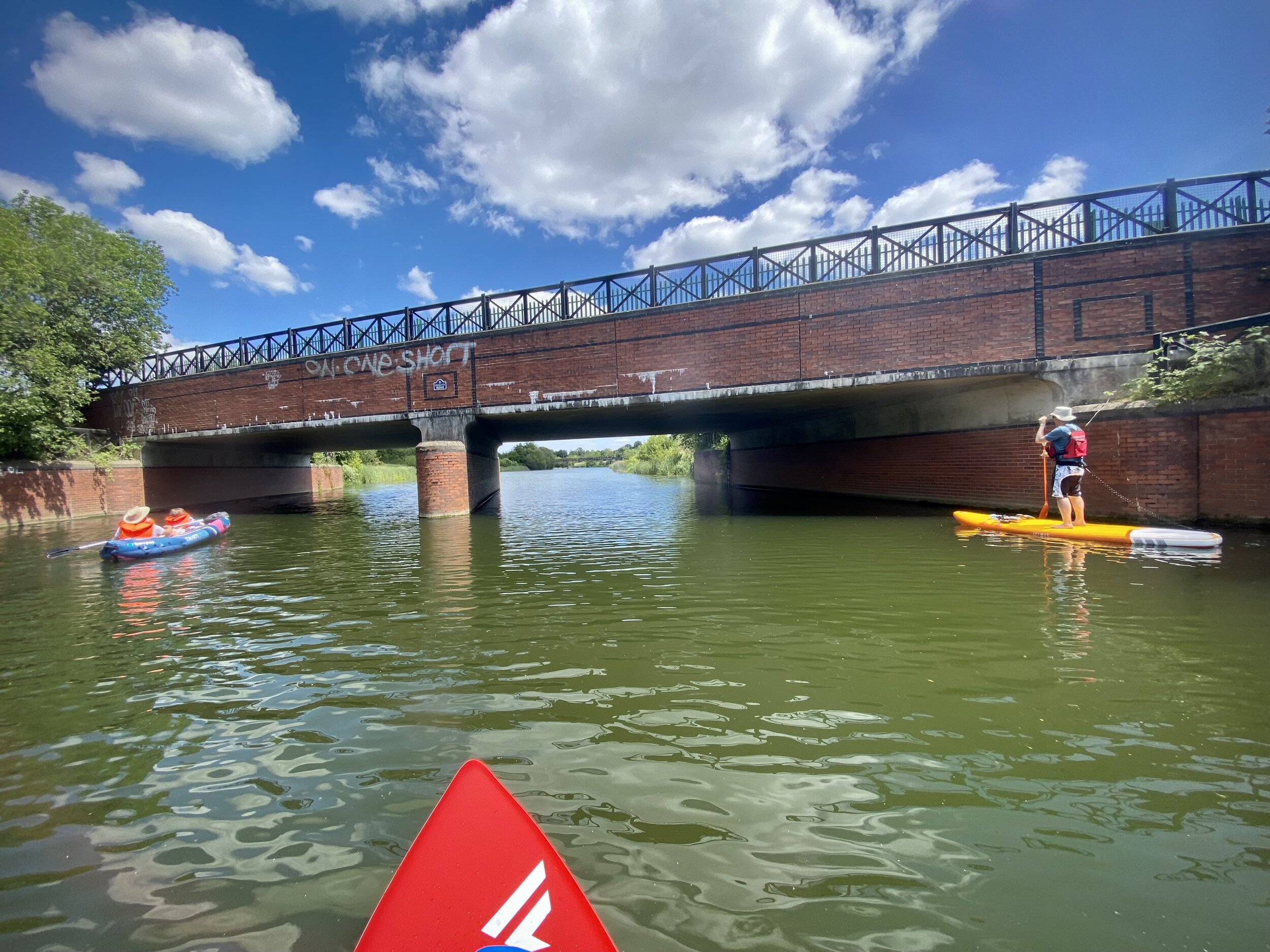
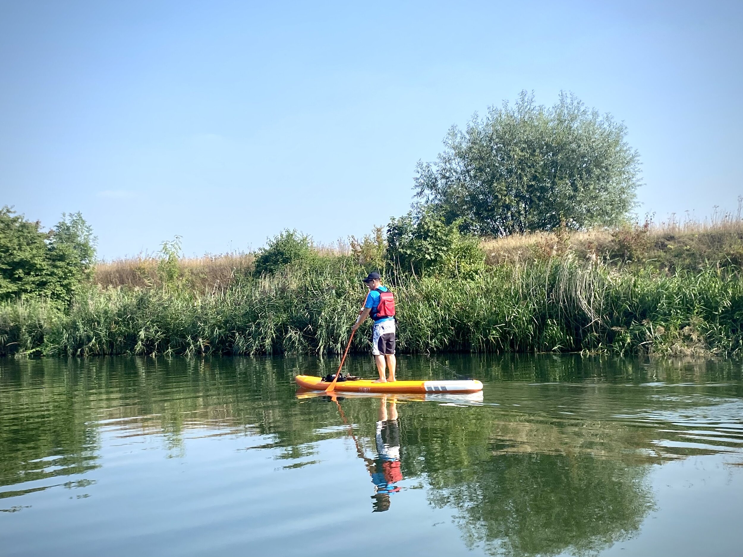
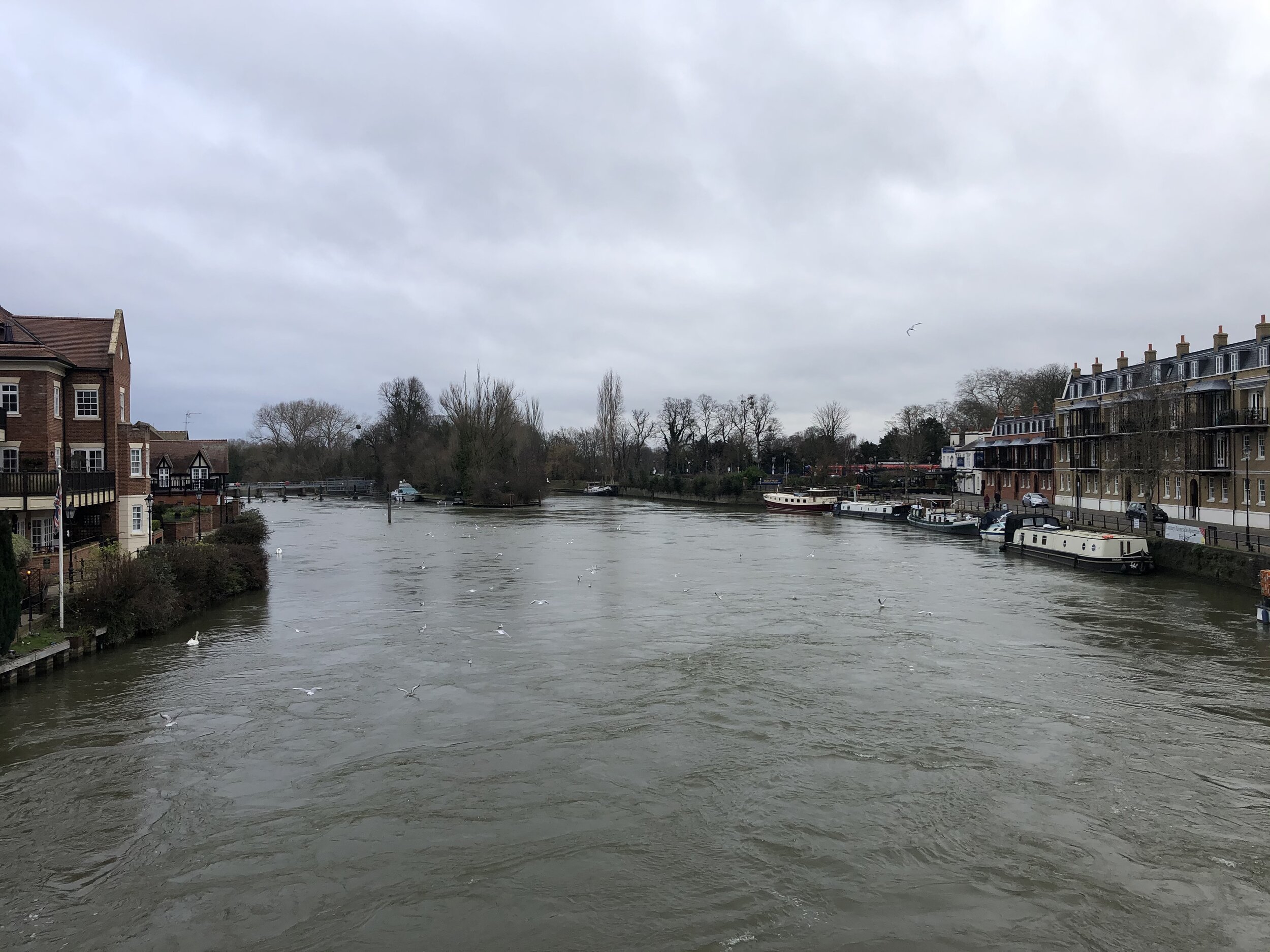
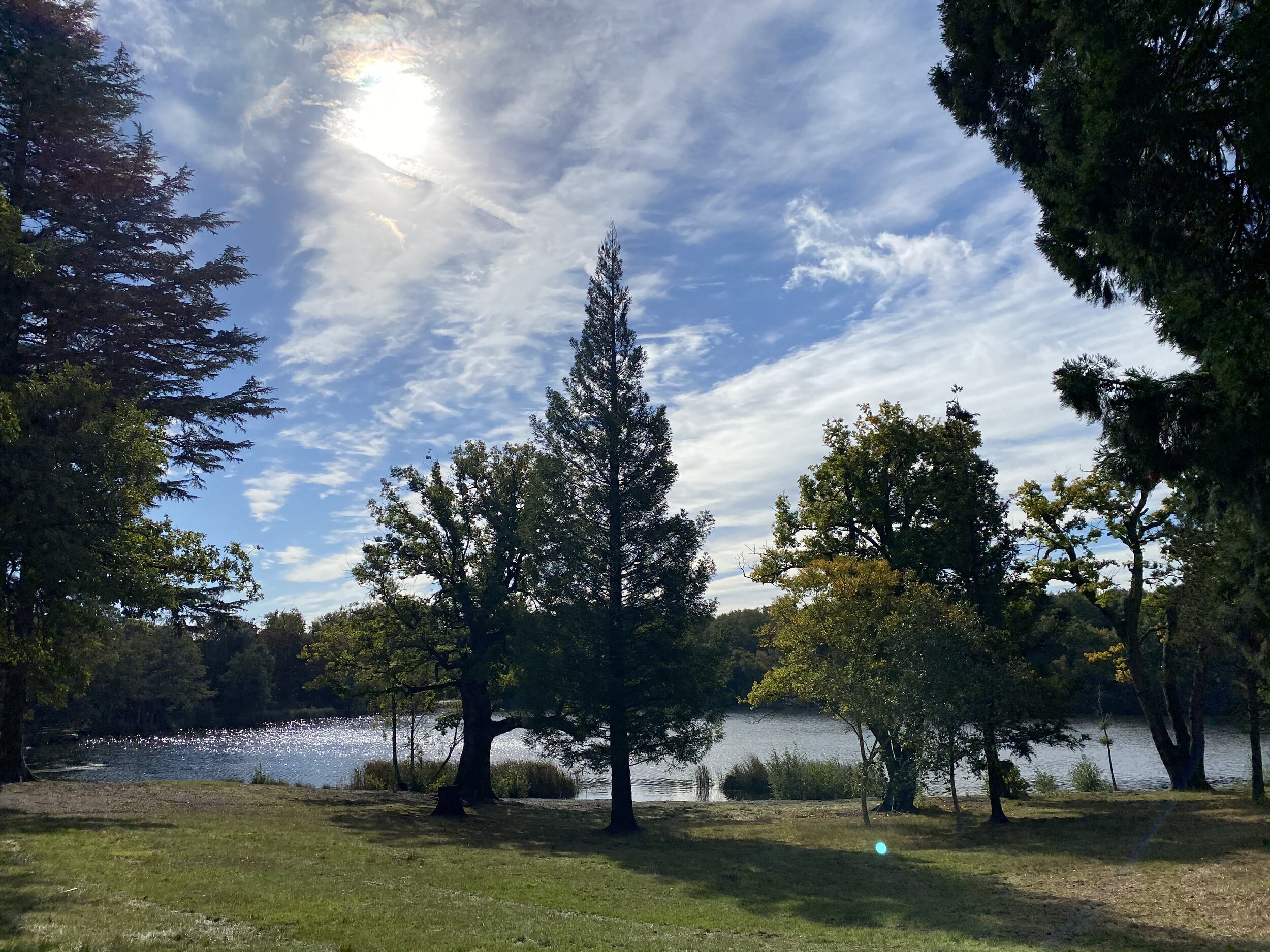
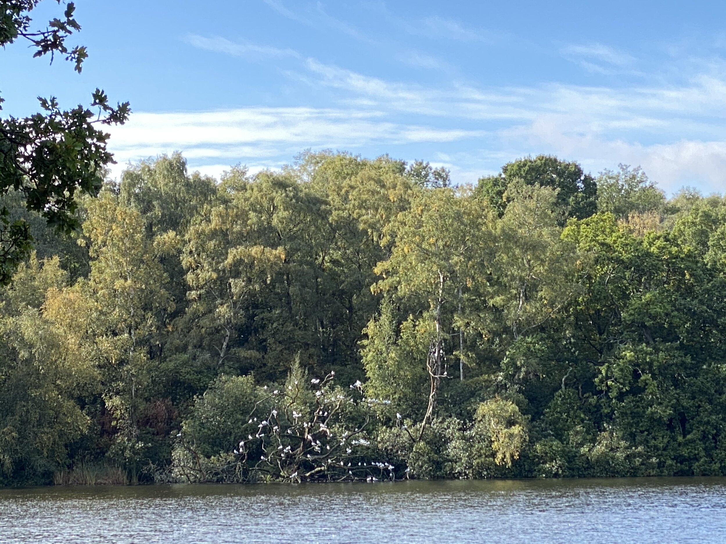
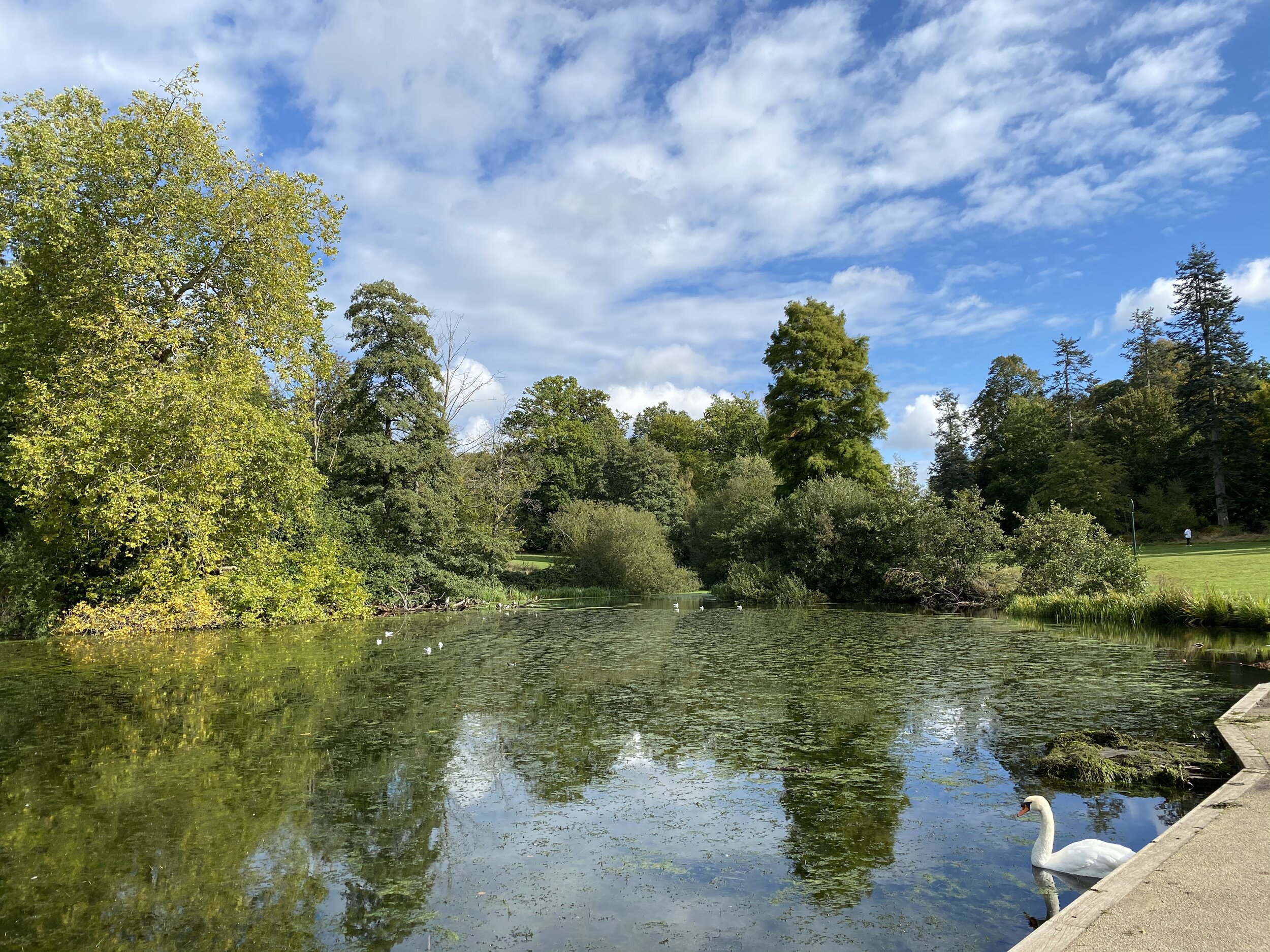
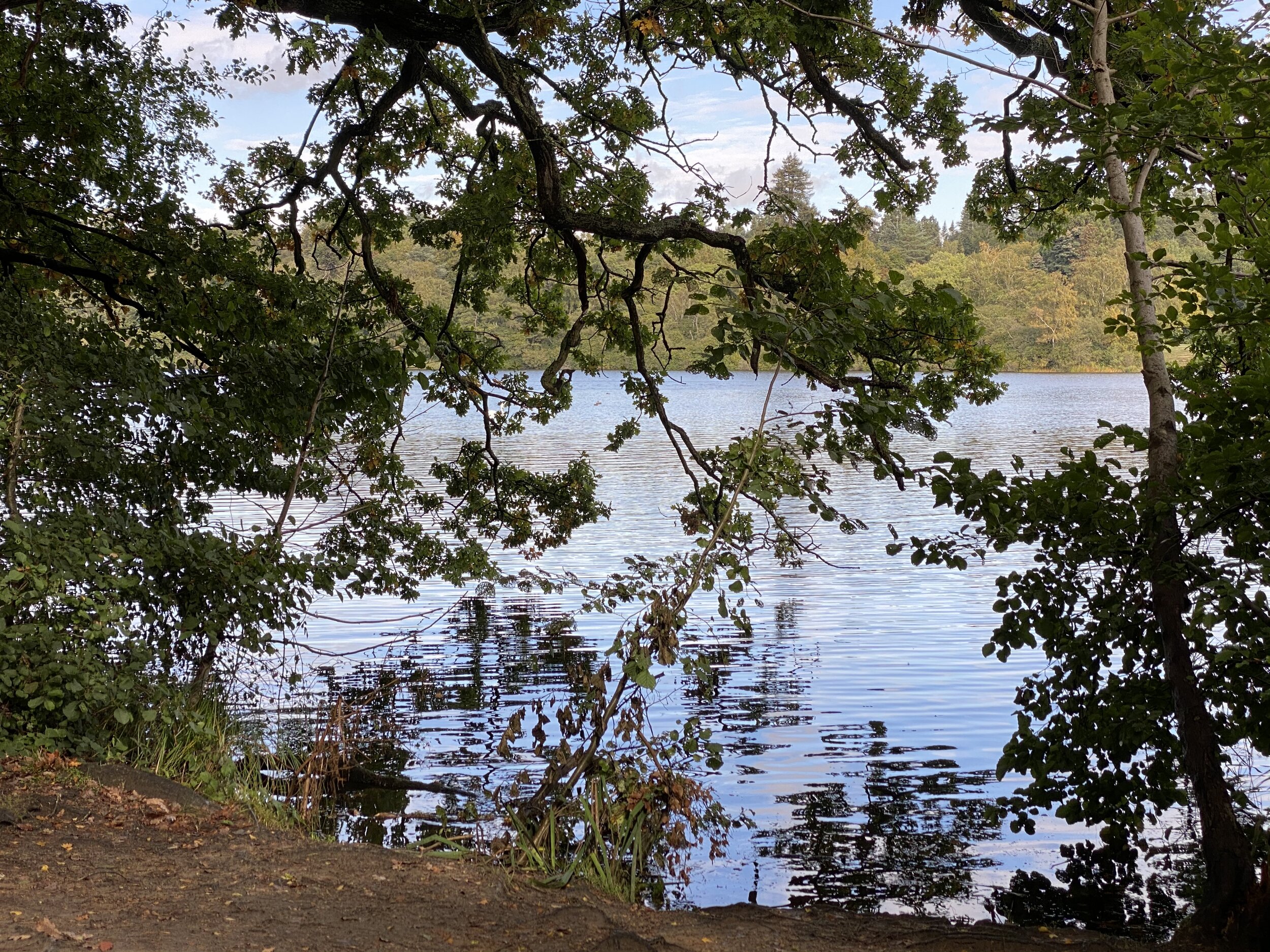
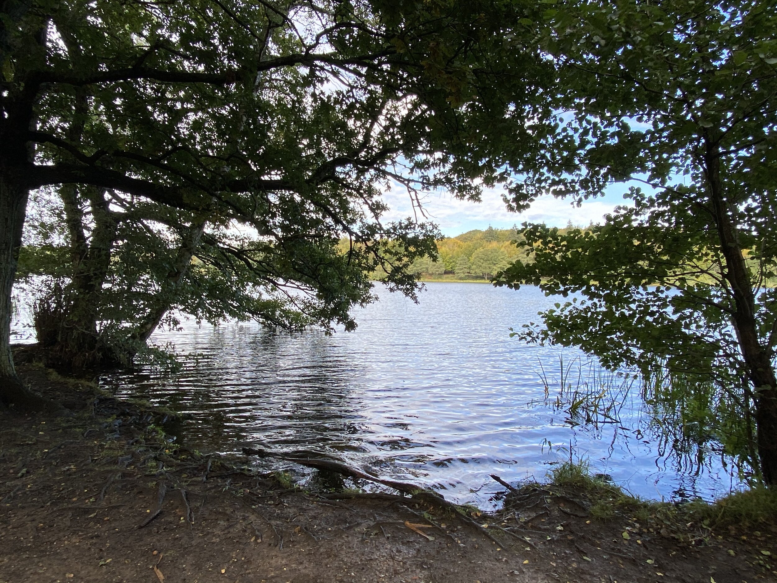
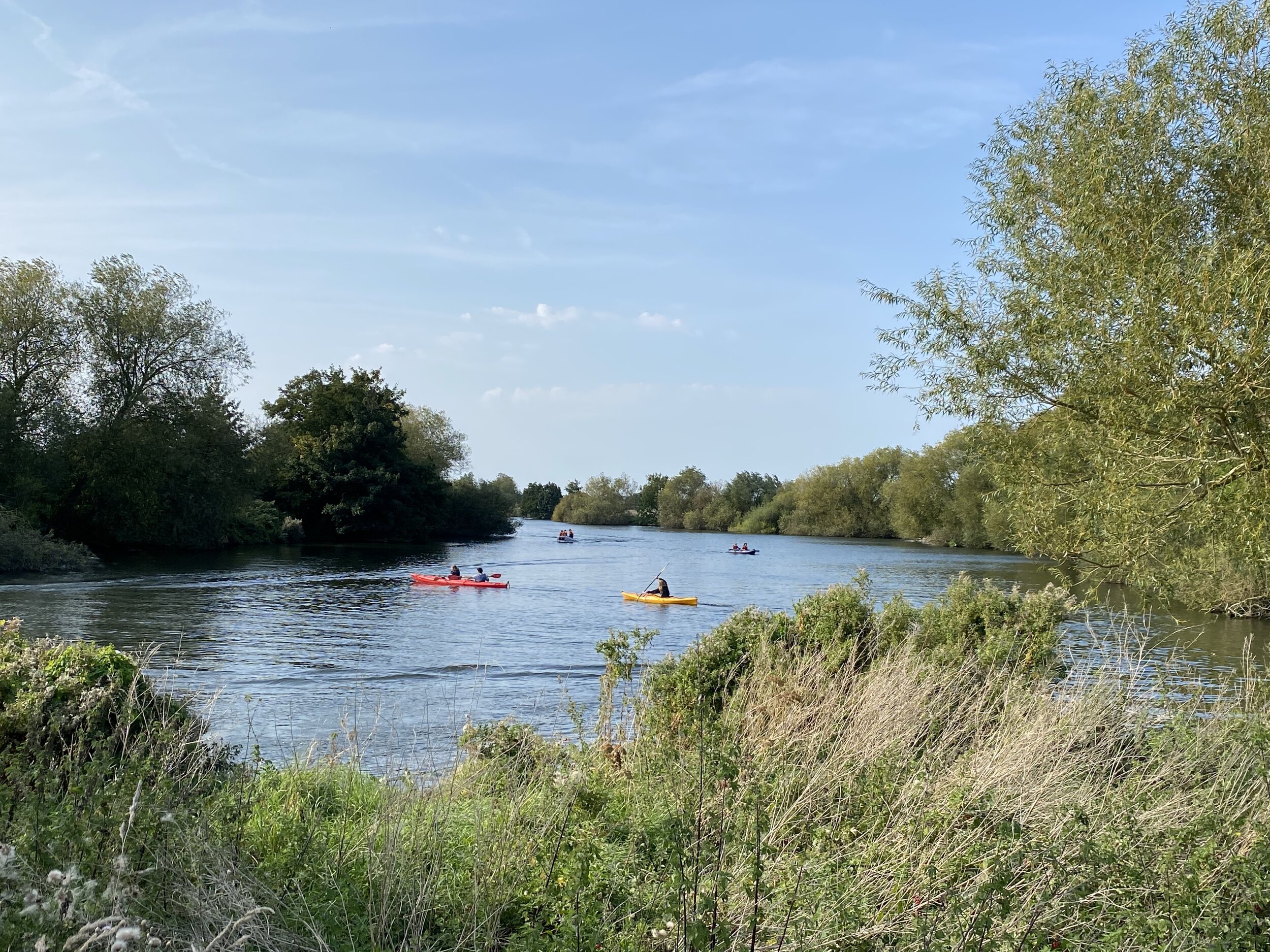
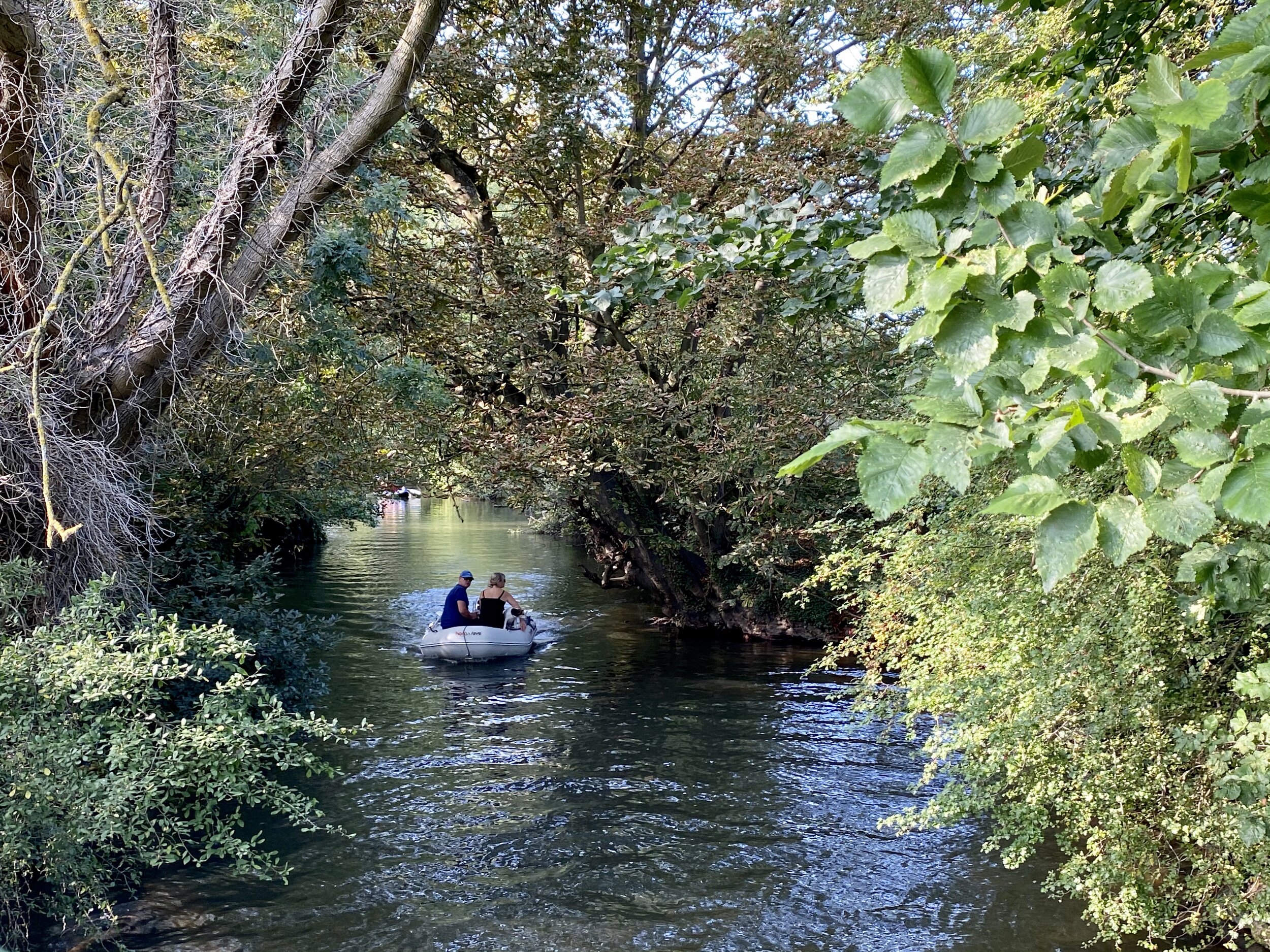
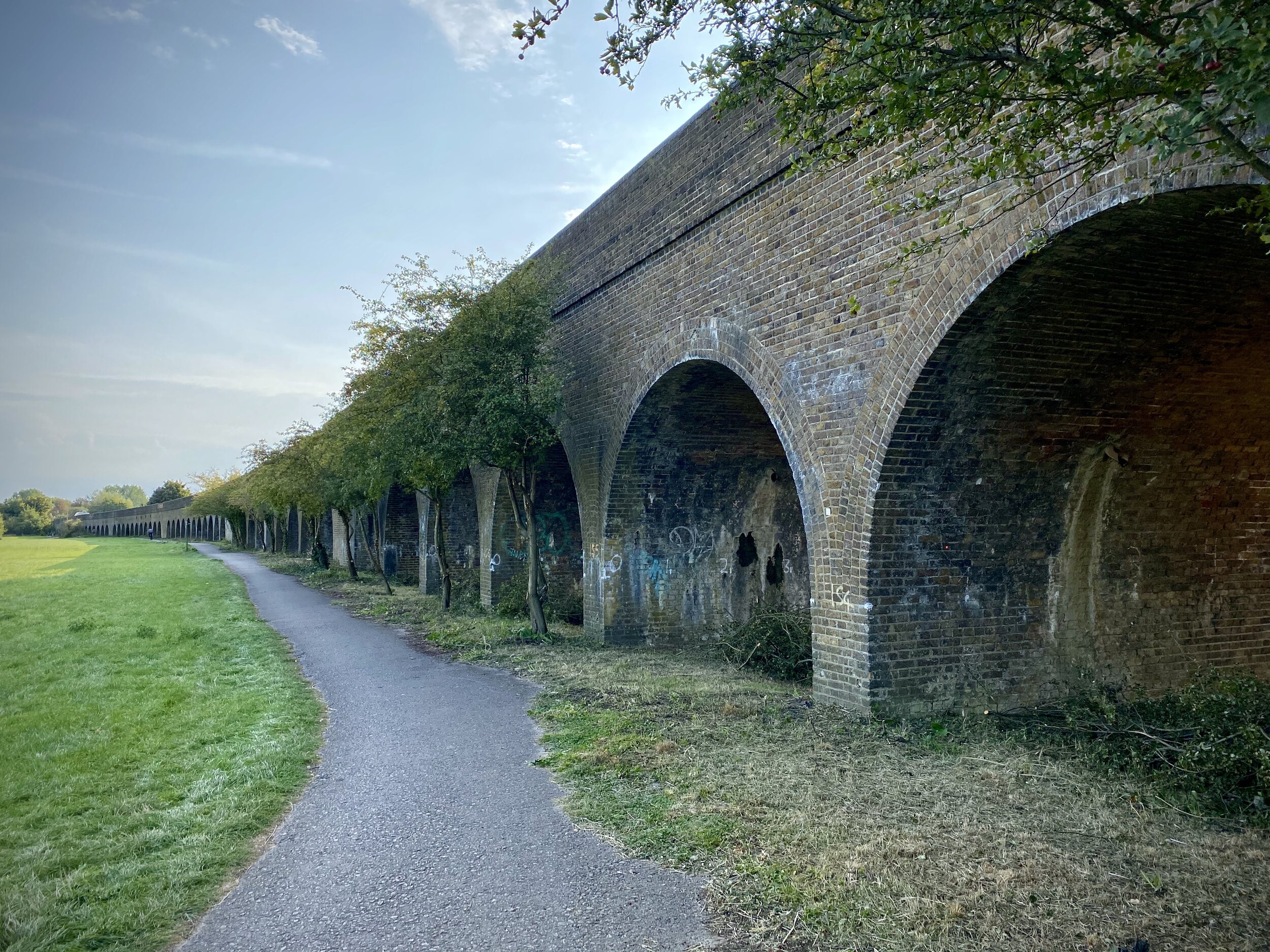
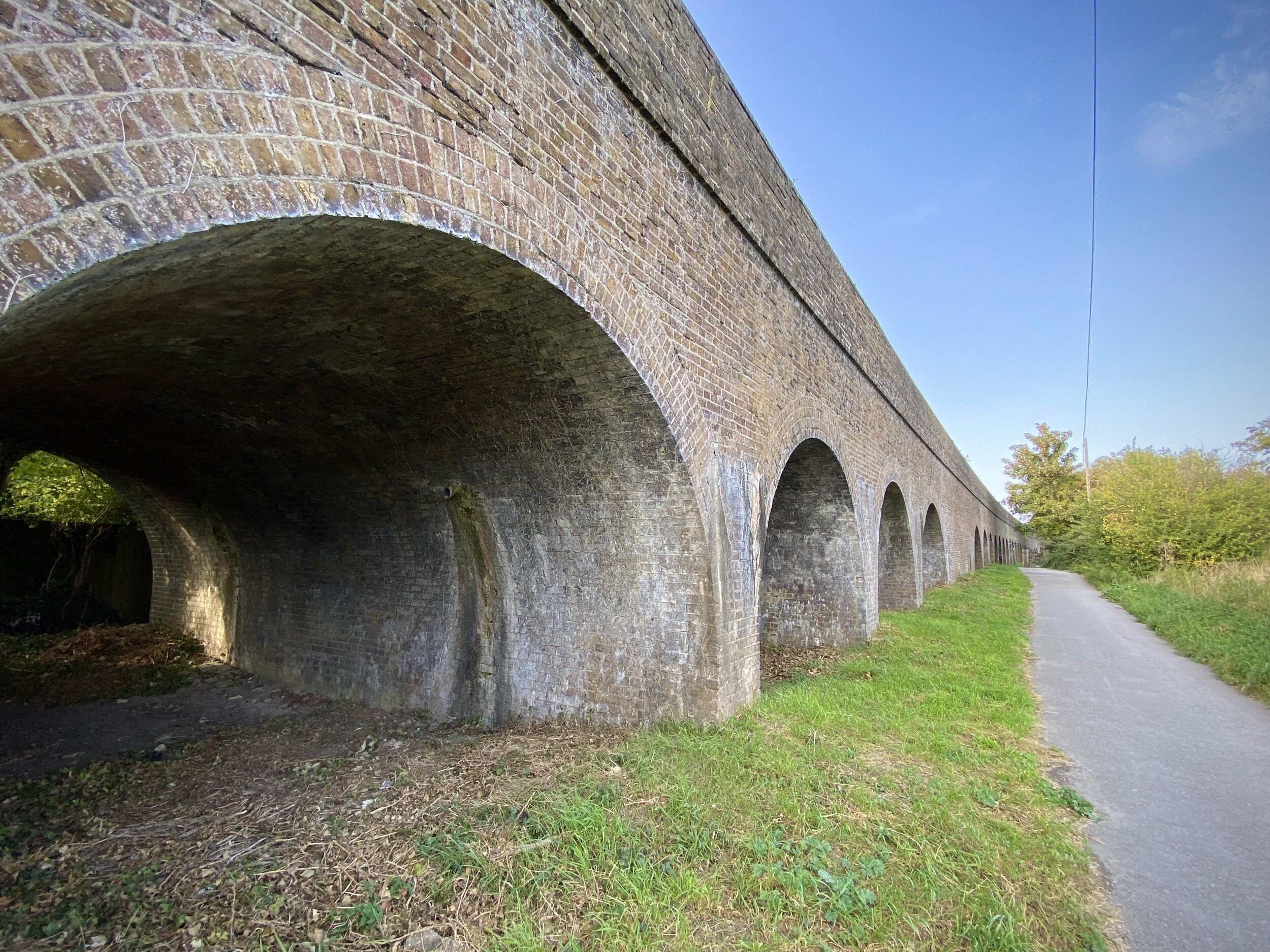
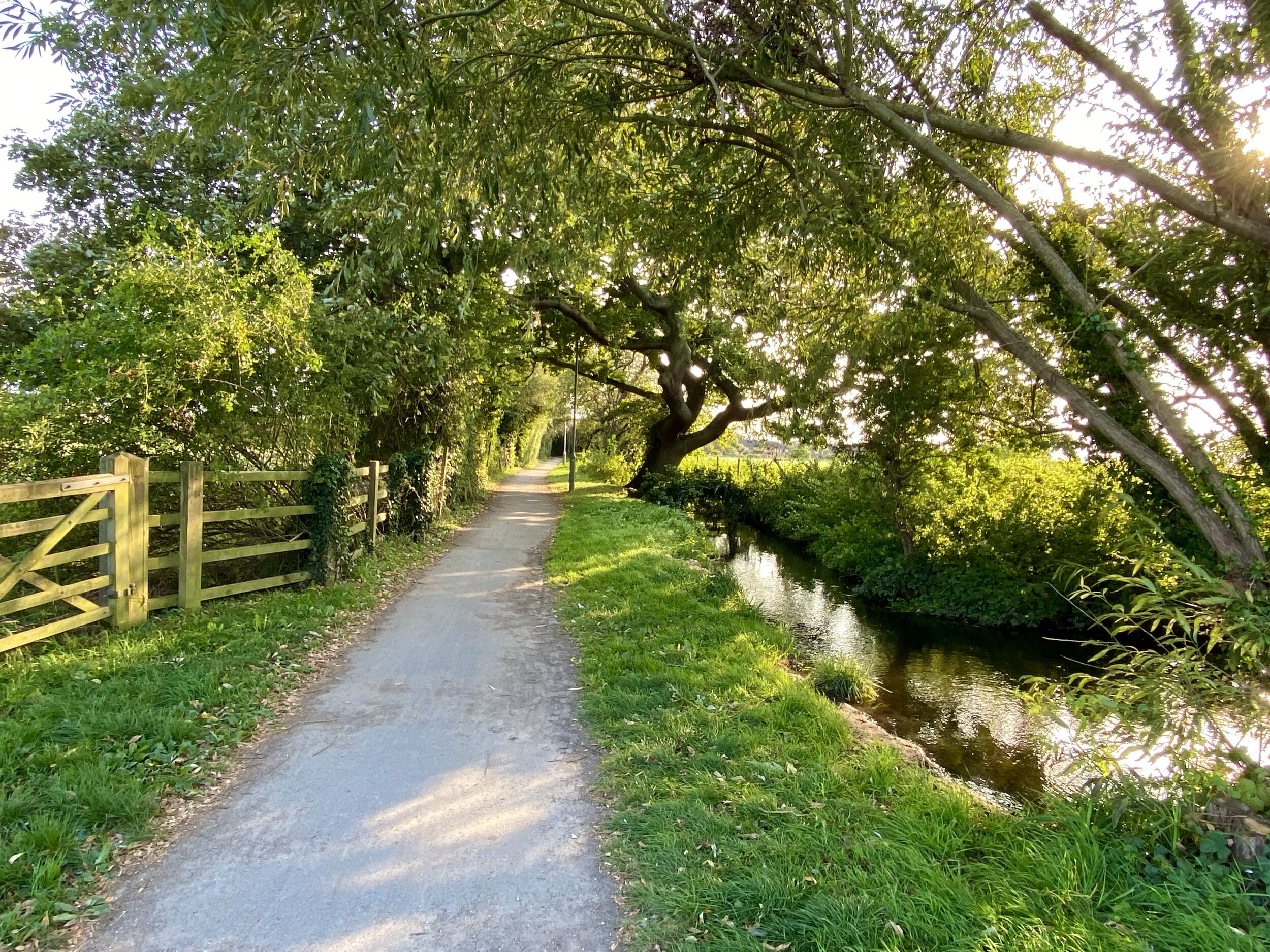
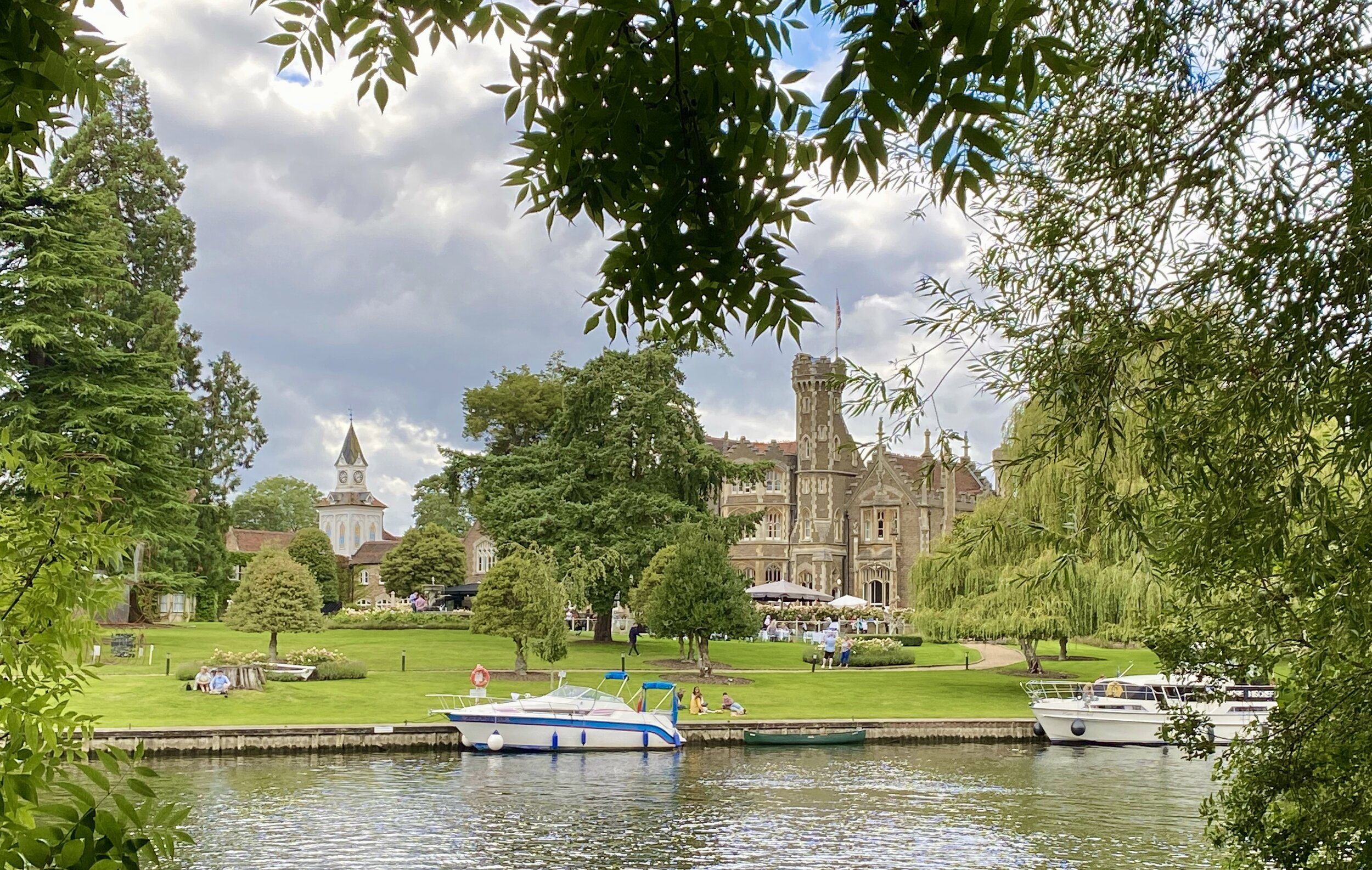
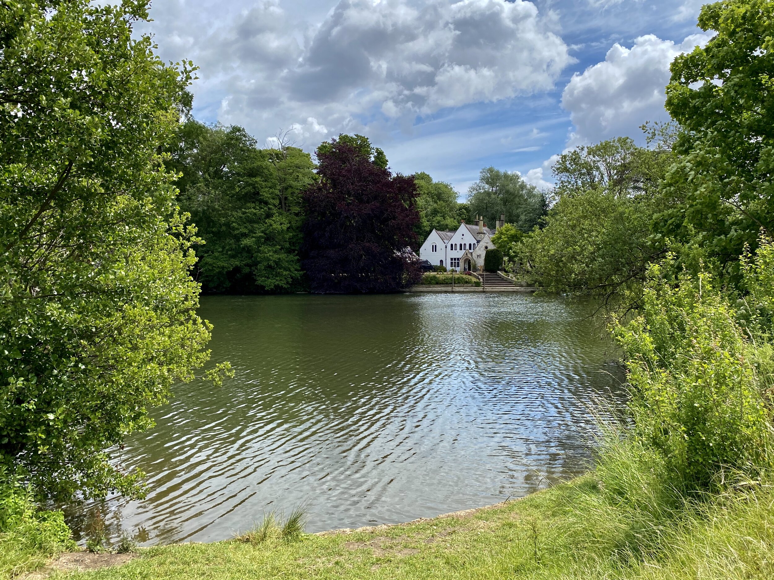
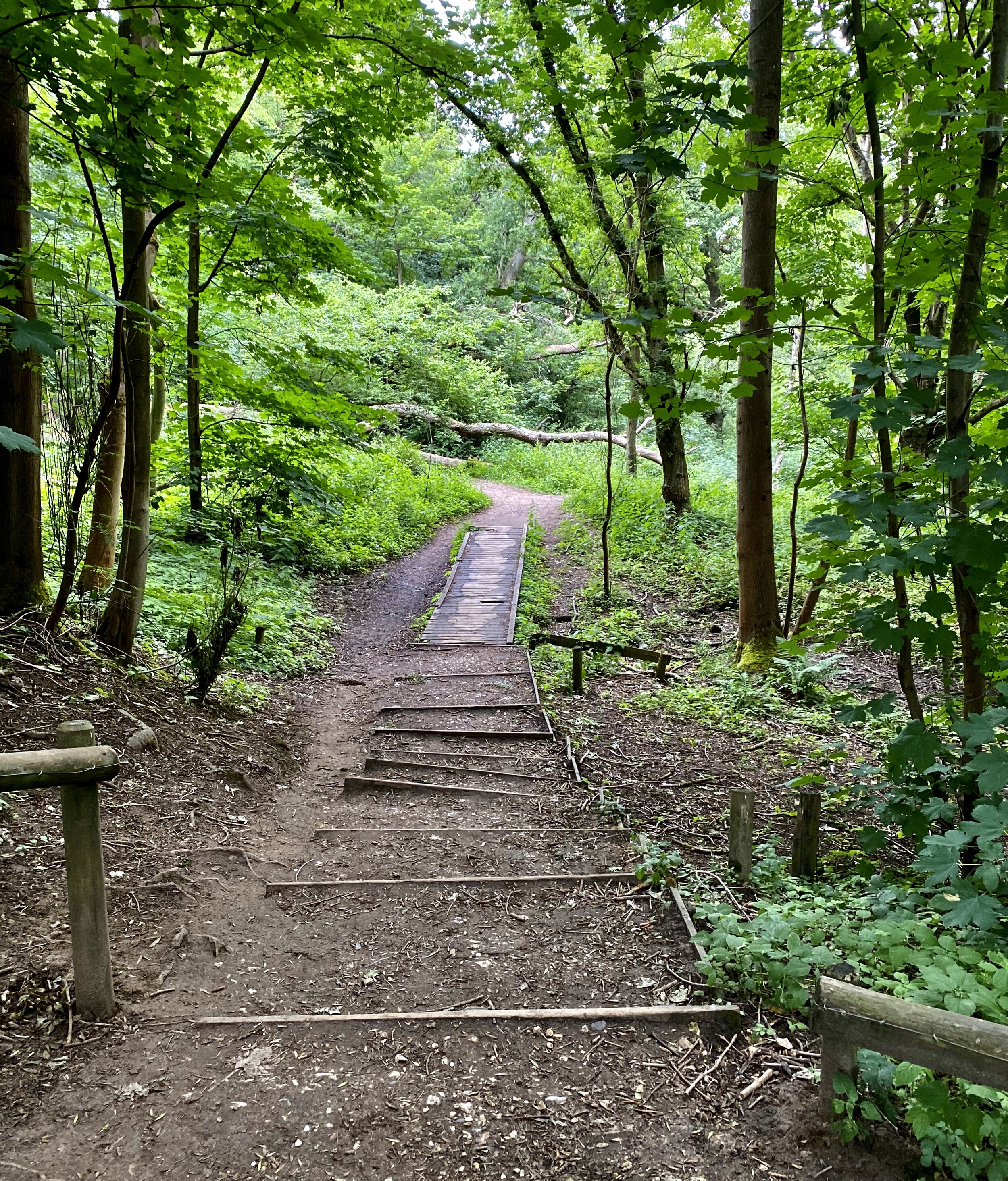
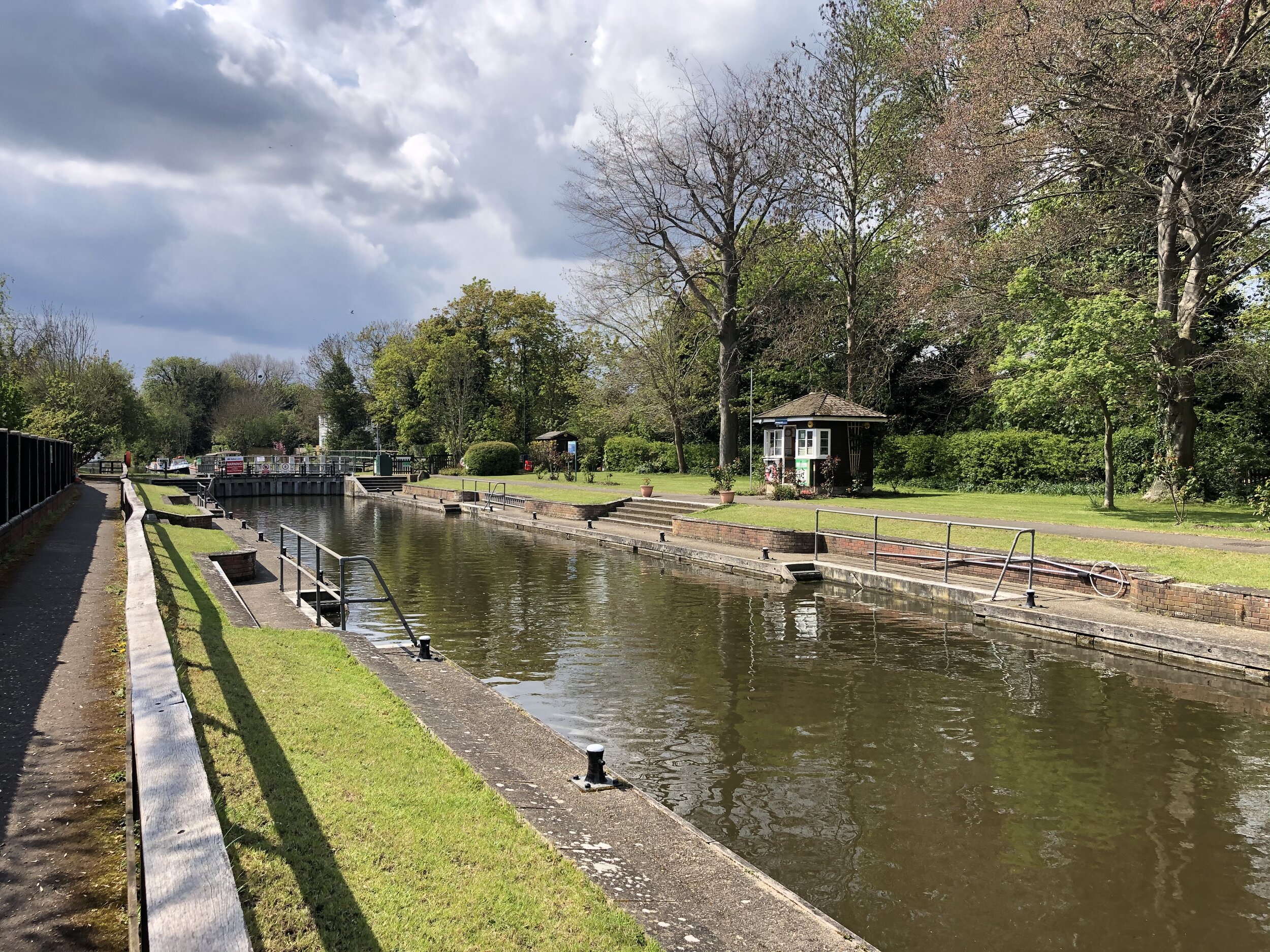
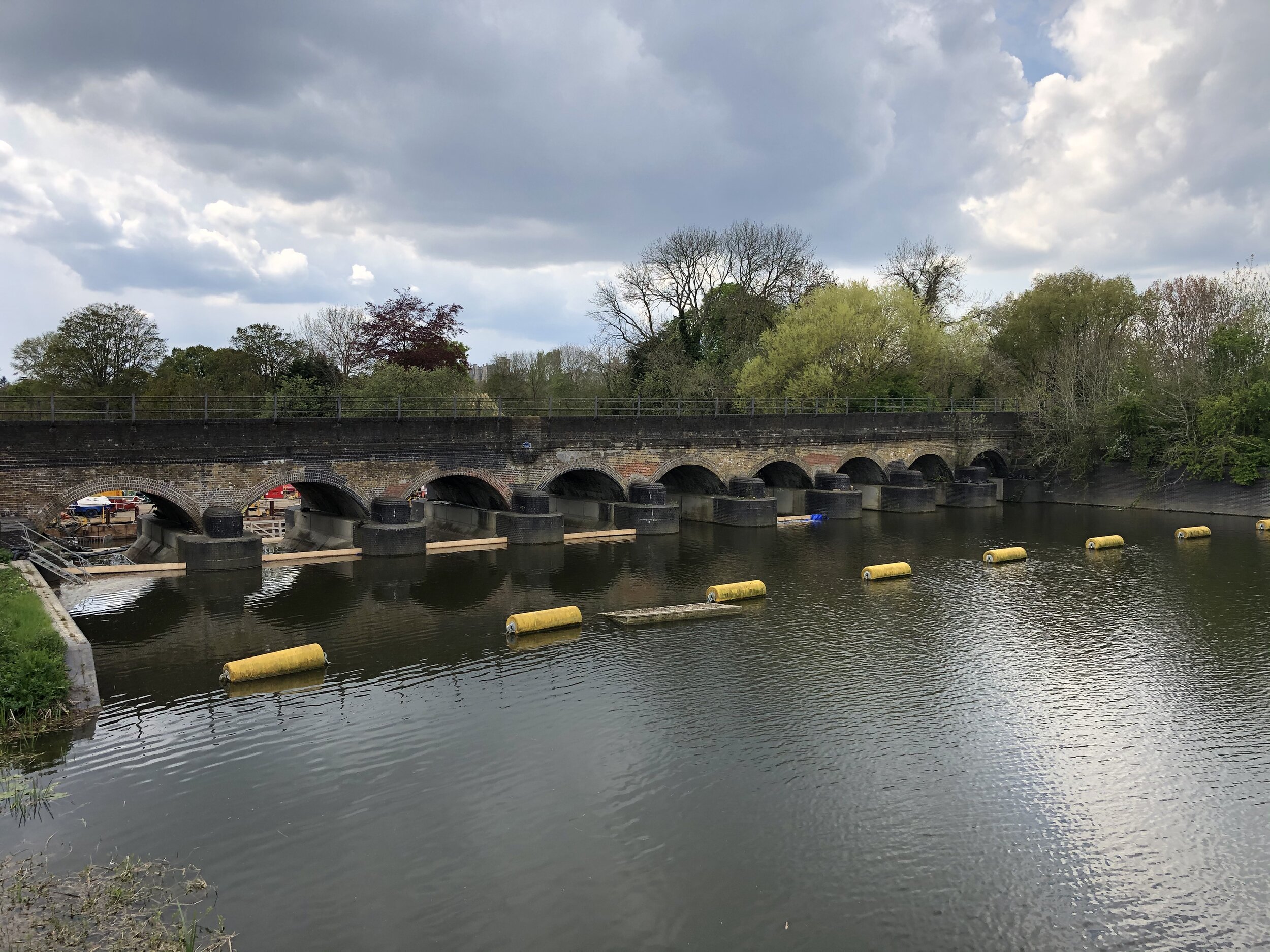
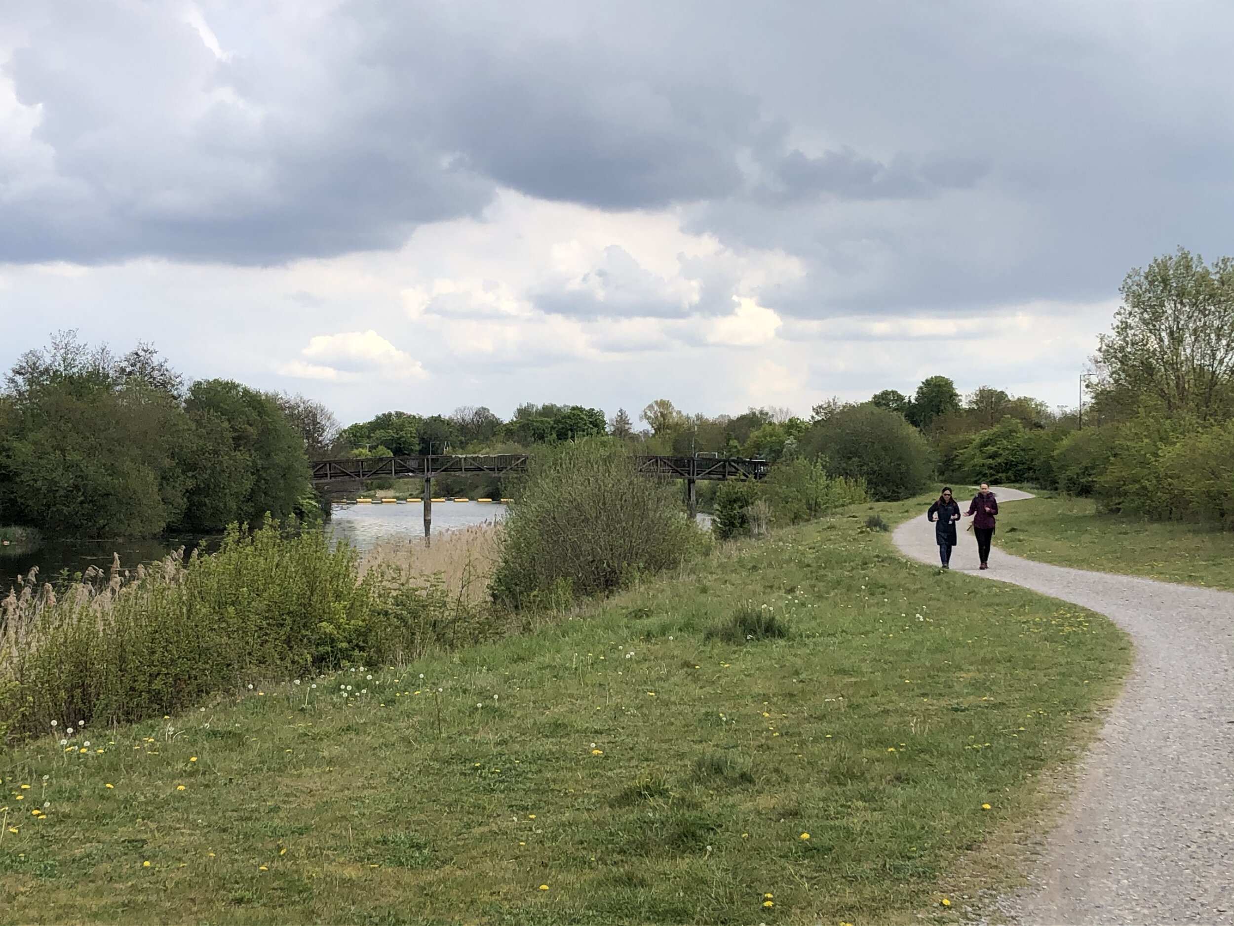
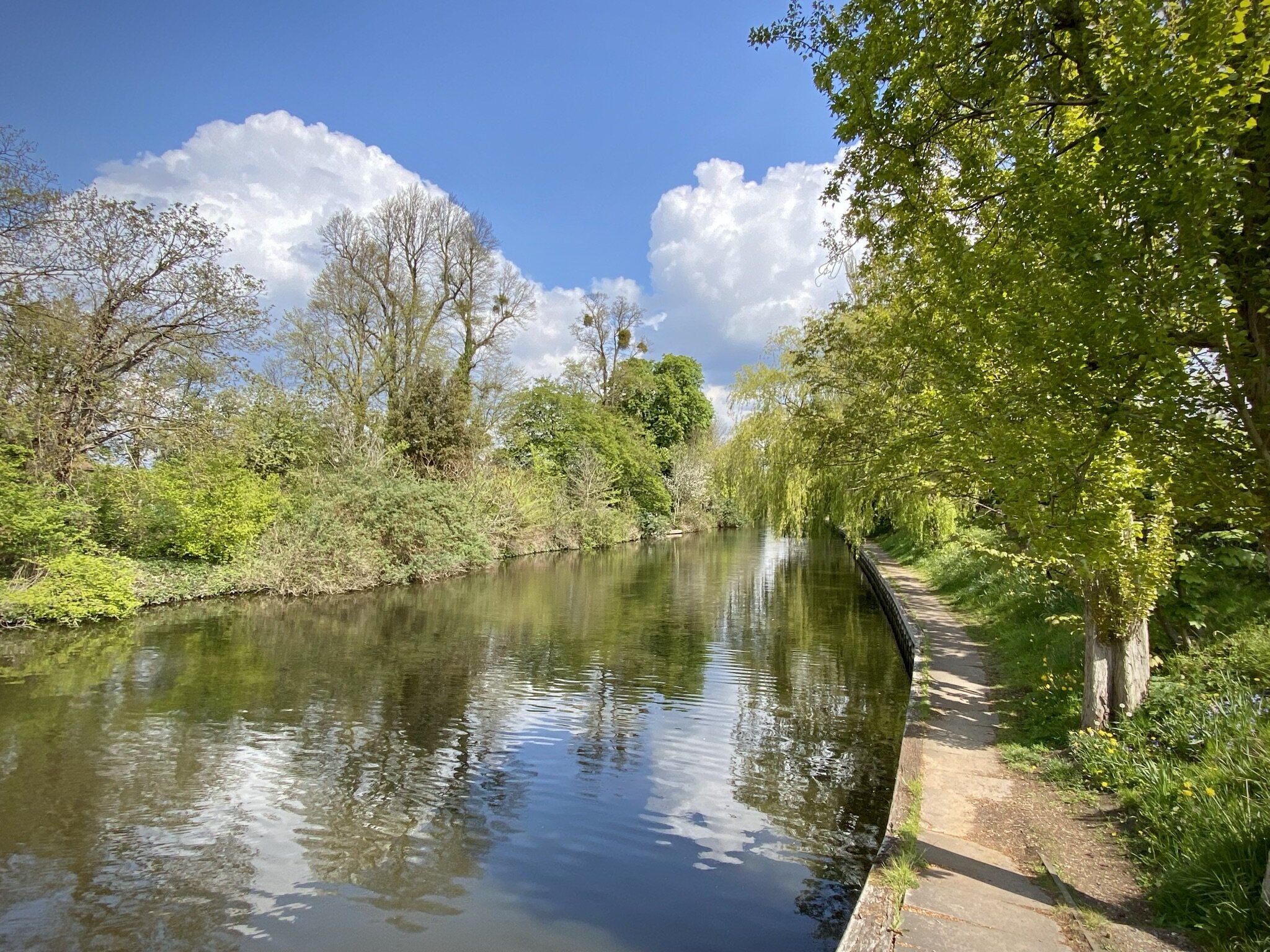
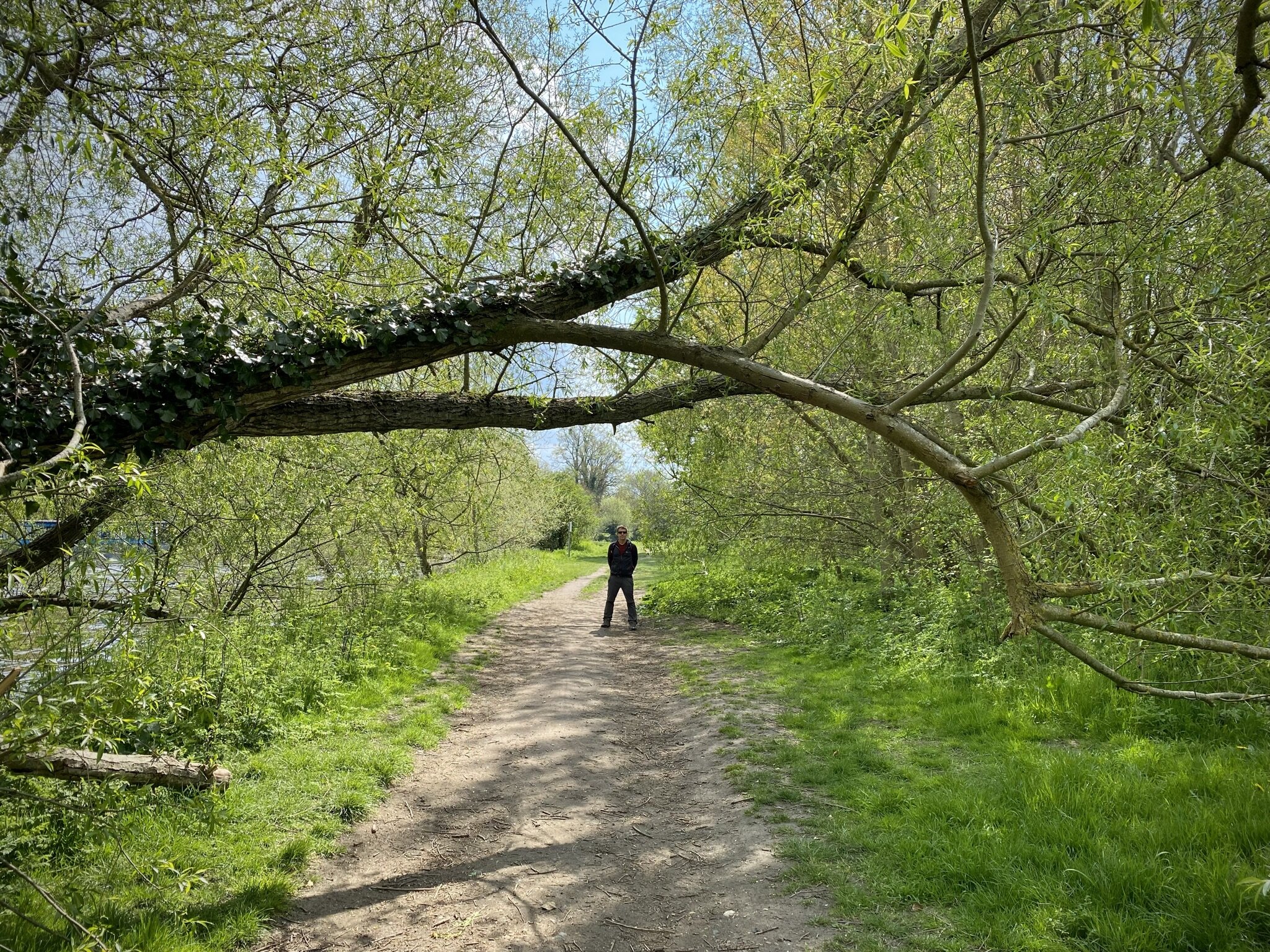
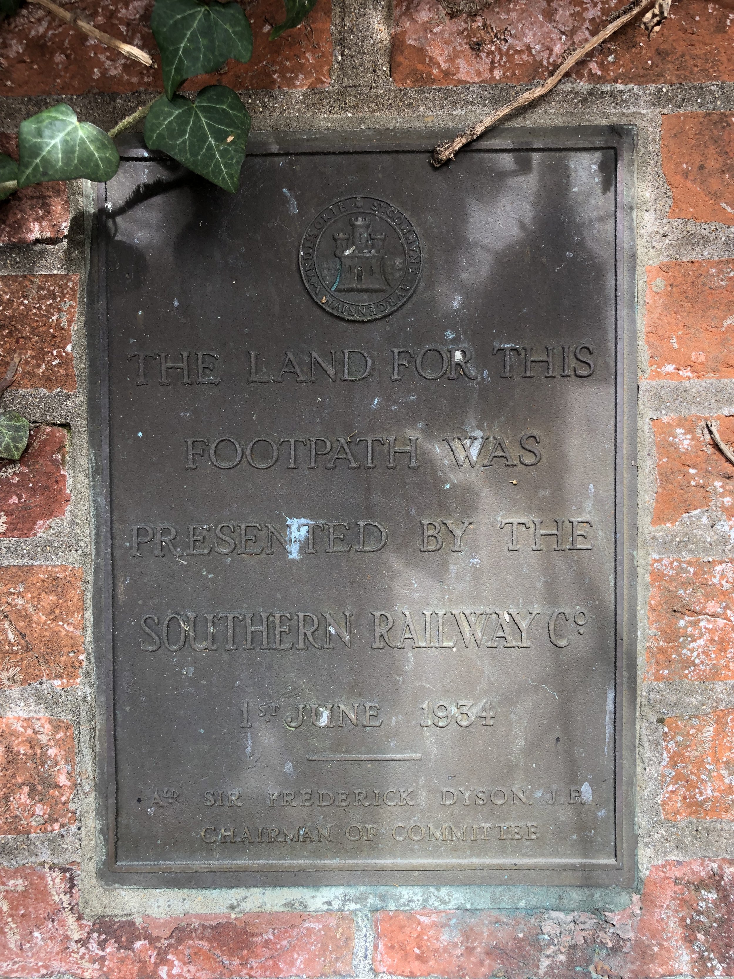
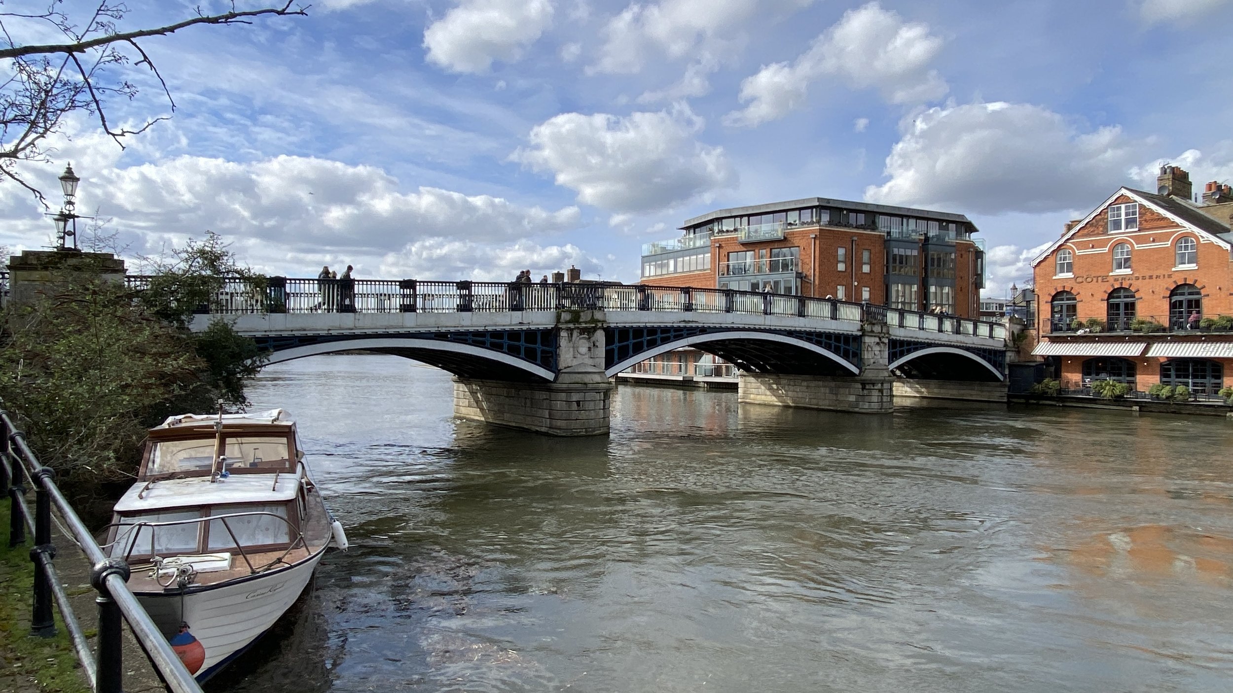
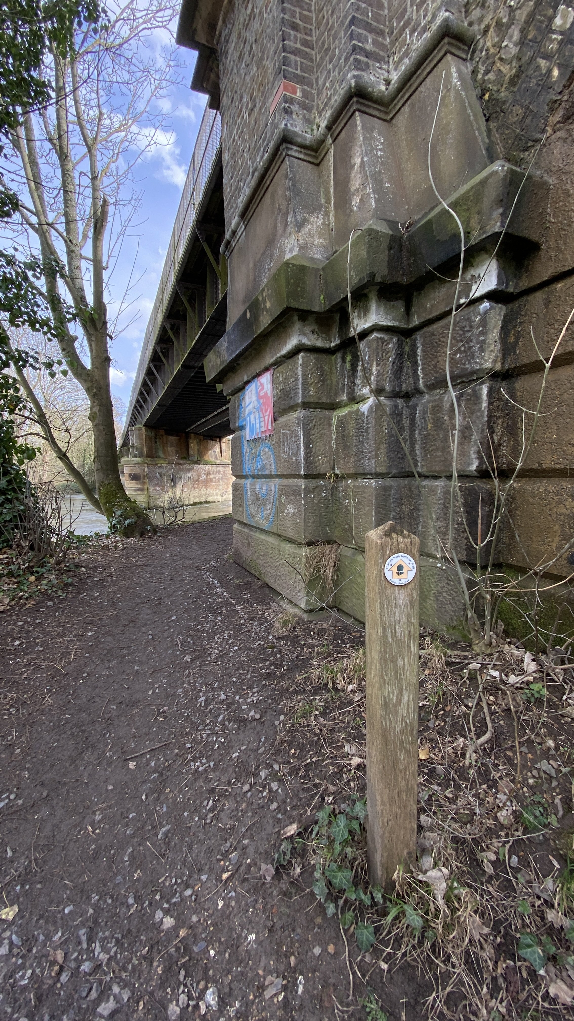
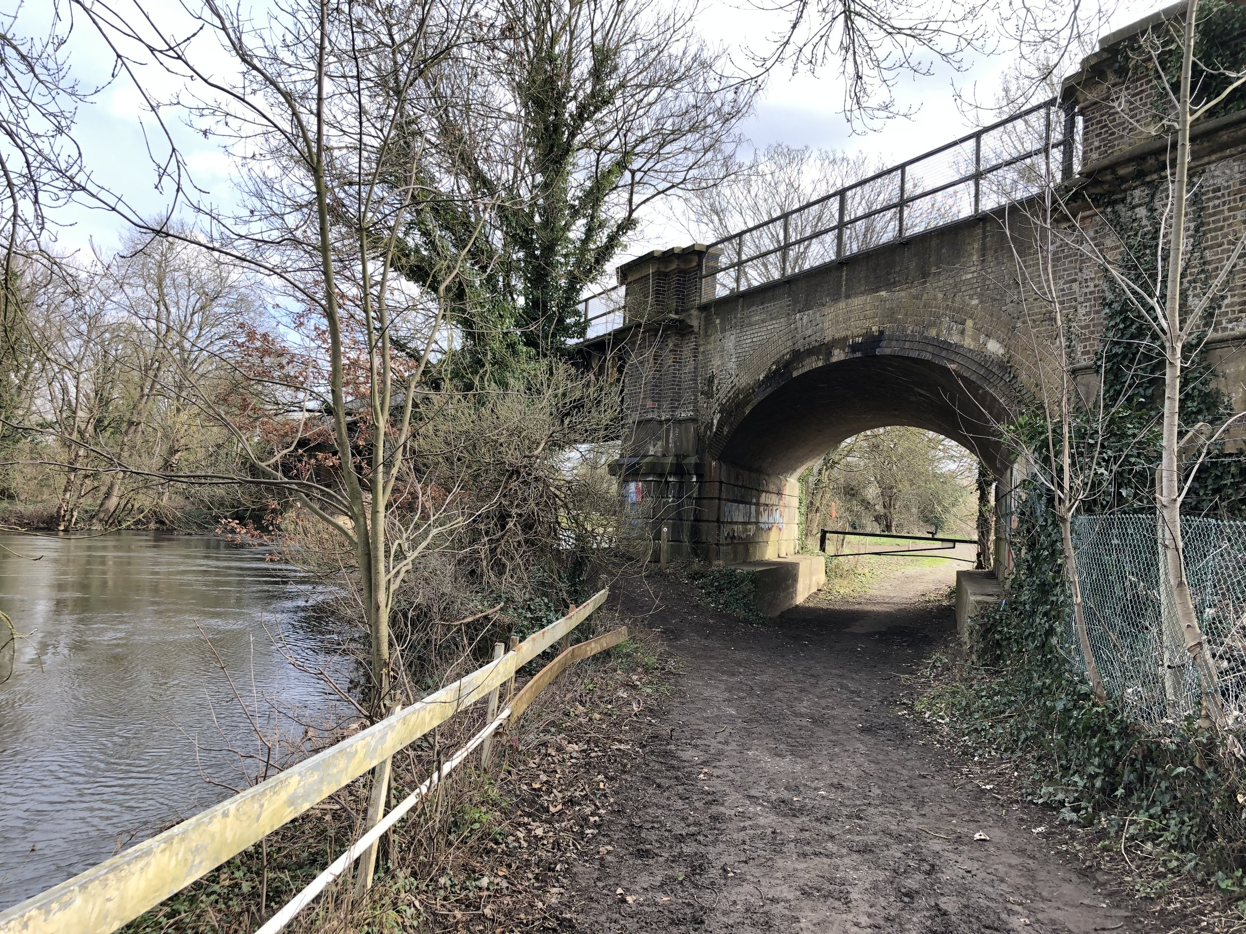
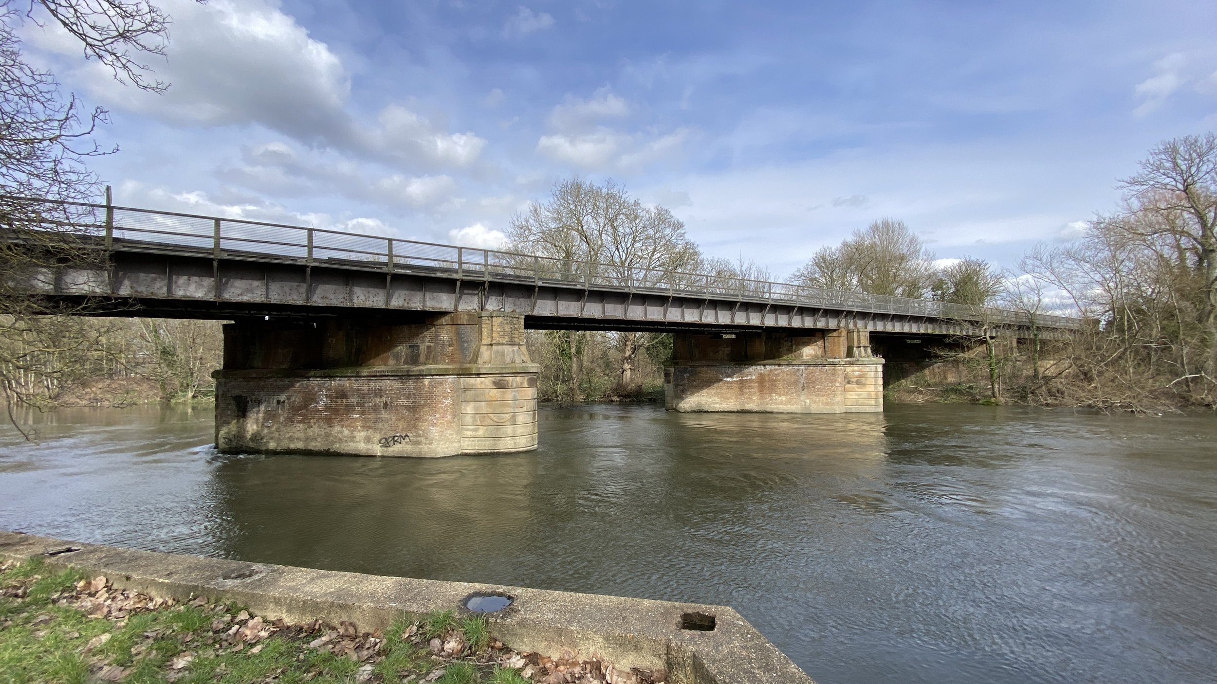
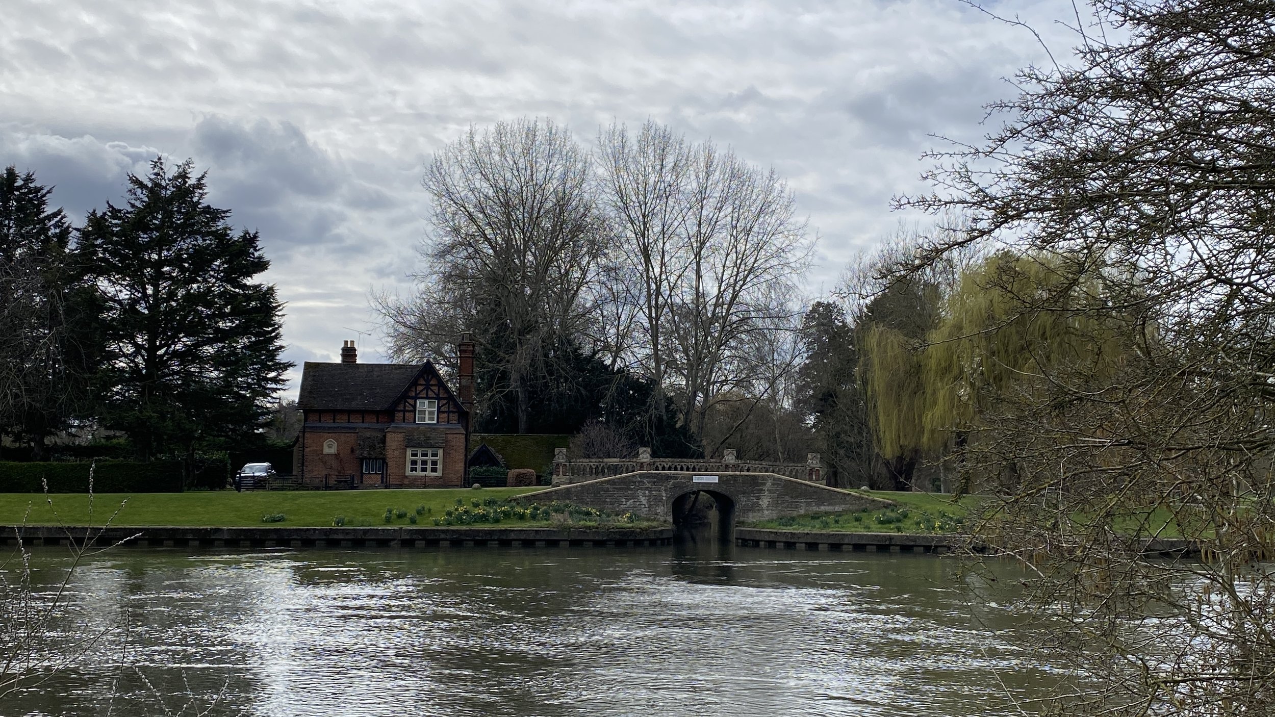
The walk starts at Windsor and Eton Bridge near Windsor Town Centre and follows the Thames Path in a north-easterly direction on the south side of the river. The first 1.3 km follows a path between the river and the railway line to Staines, passing Romney Lock. After the bridge that takes the rail line across the river the path follows the edge of the public part of Home Park. Continue following the river until Victoria Bridge. This is as far as you can go on the south side as Home Park becomes the private gardens of Windsor Castle the on other side of Victoria Bridge.
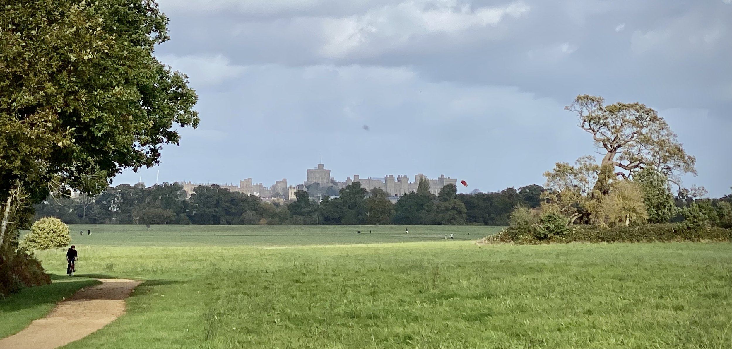
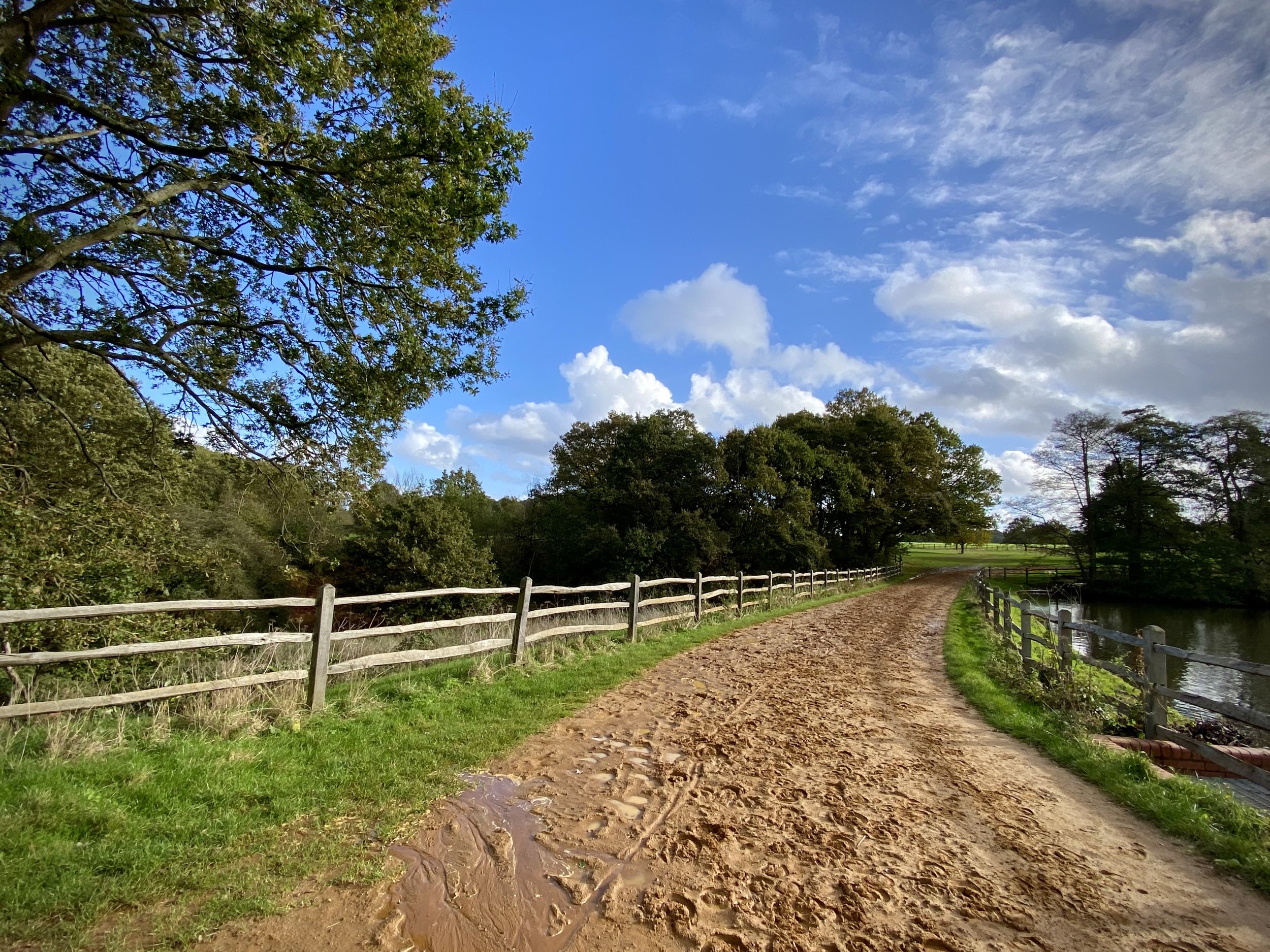
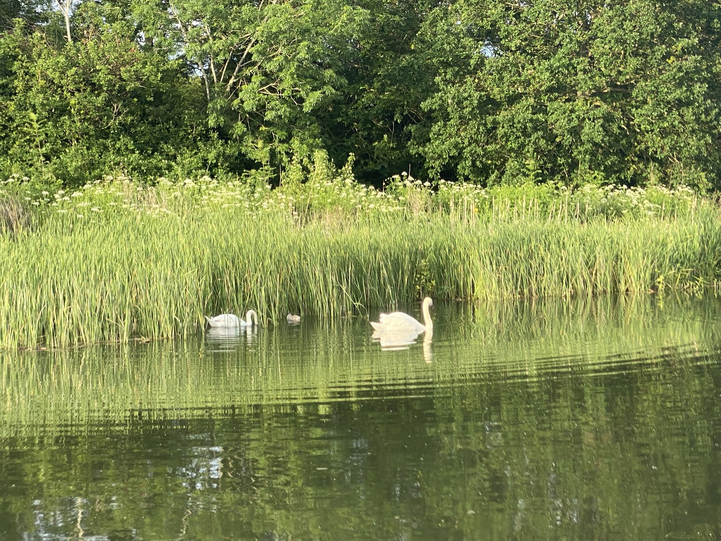
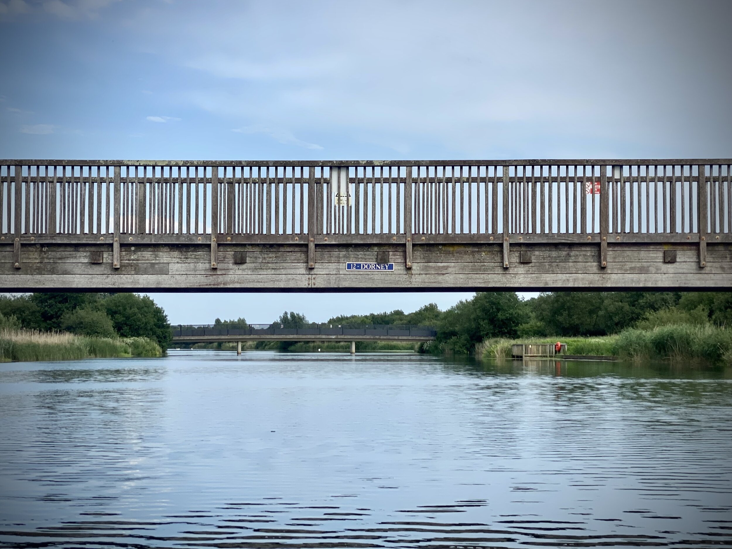
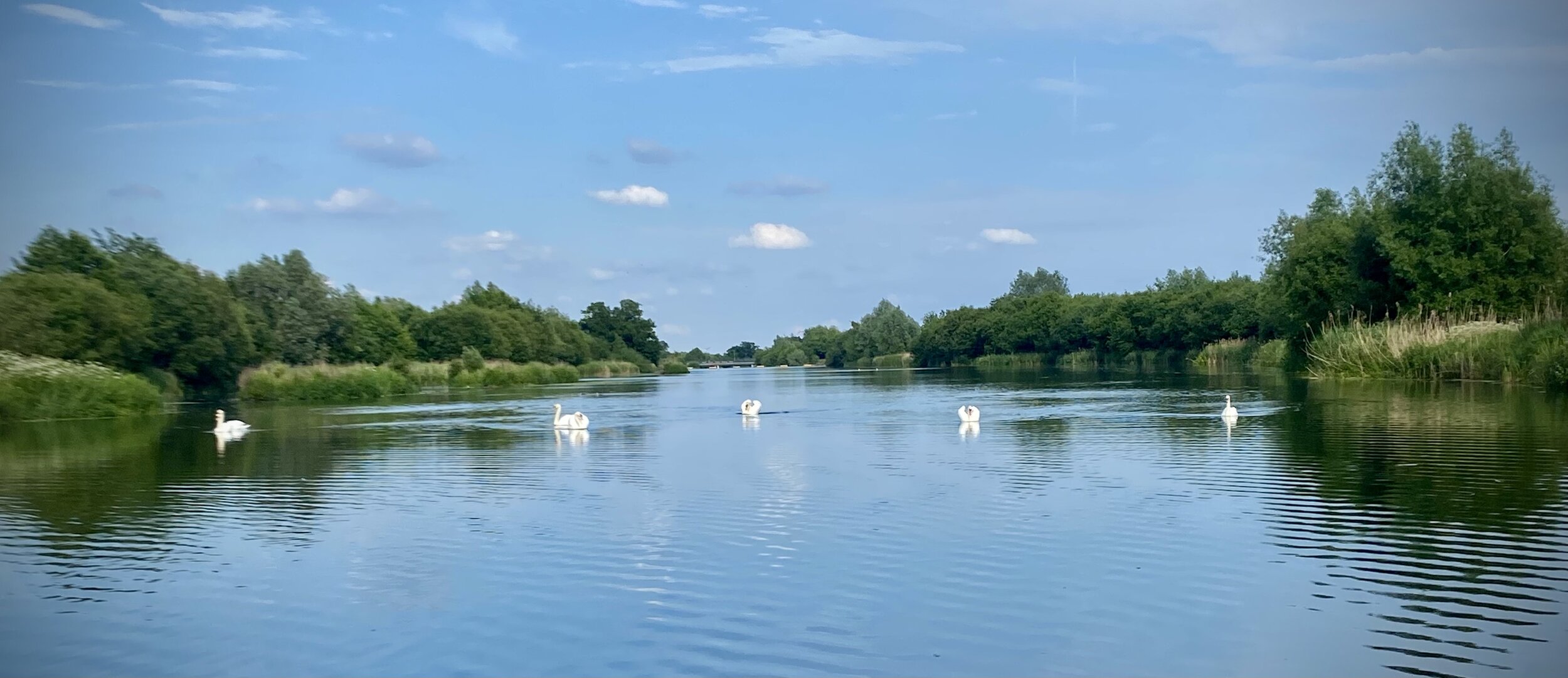
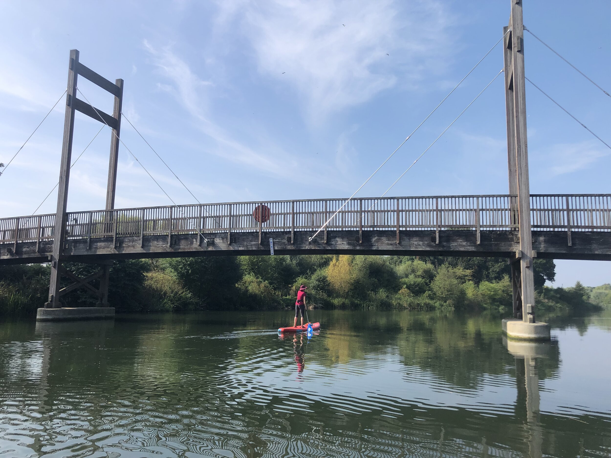
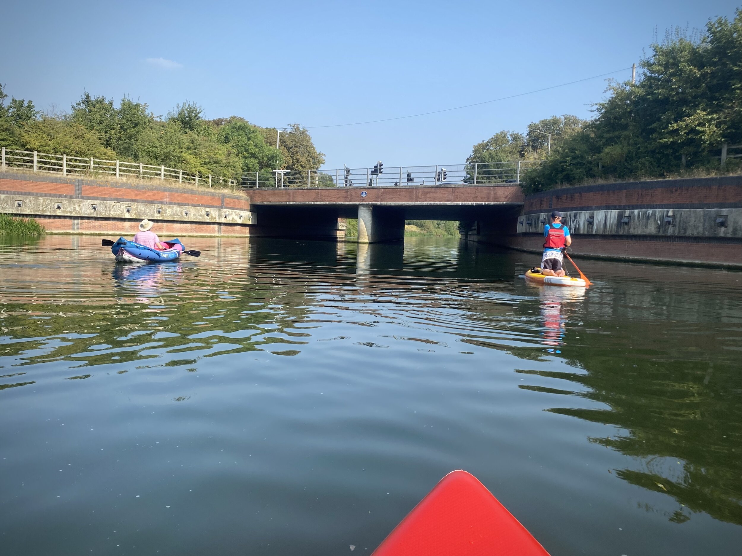
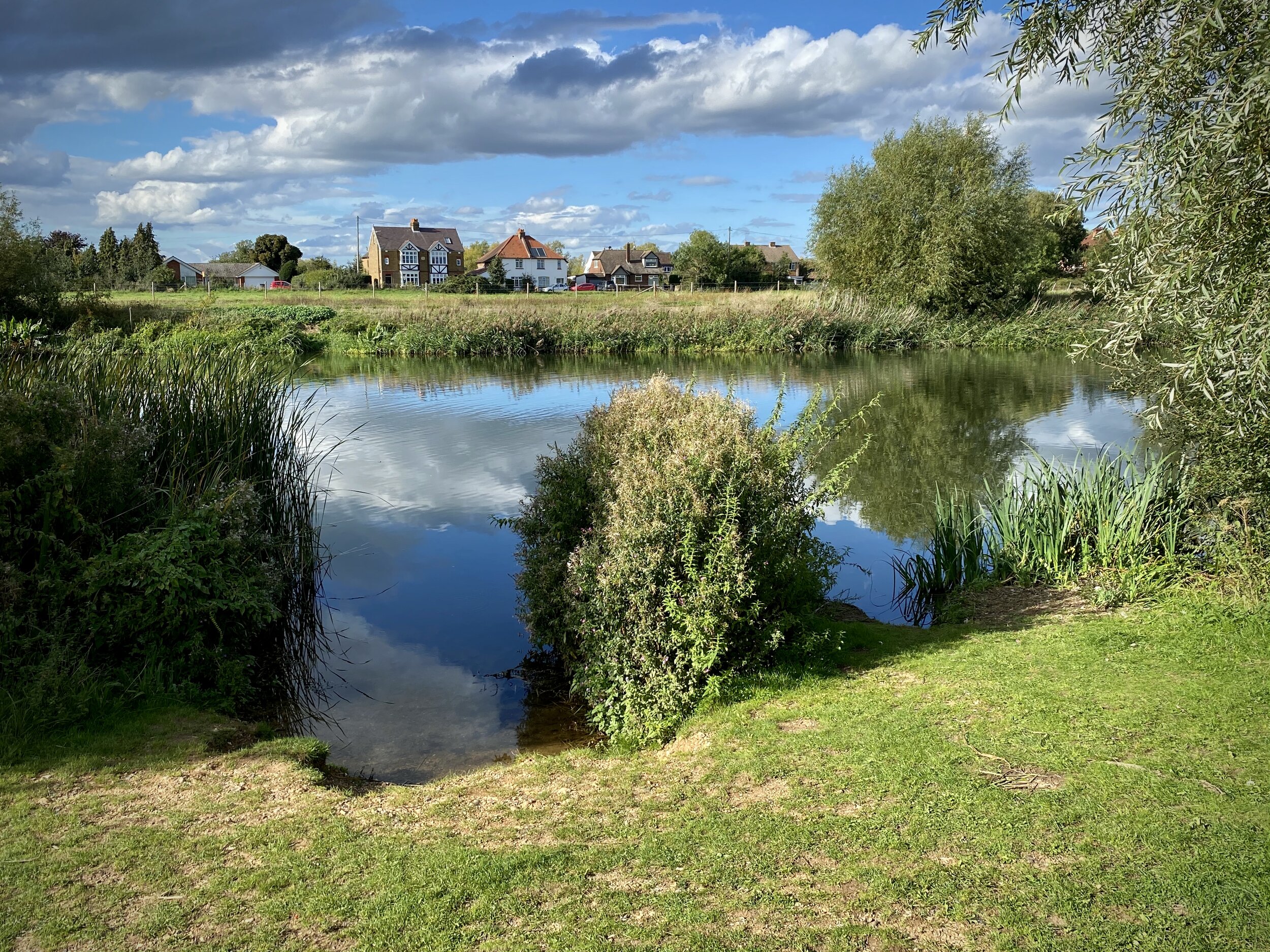
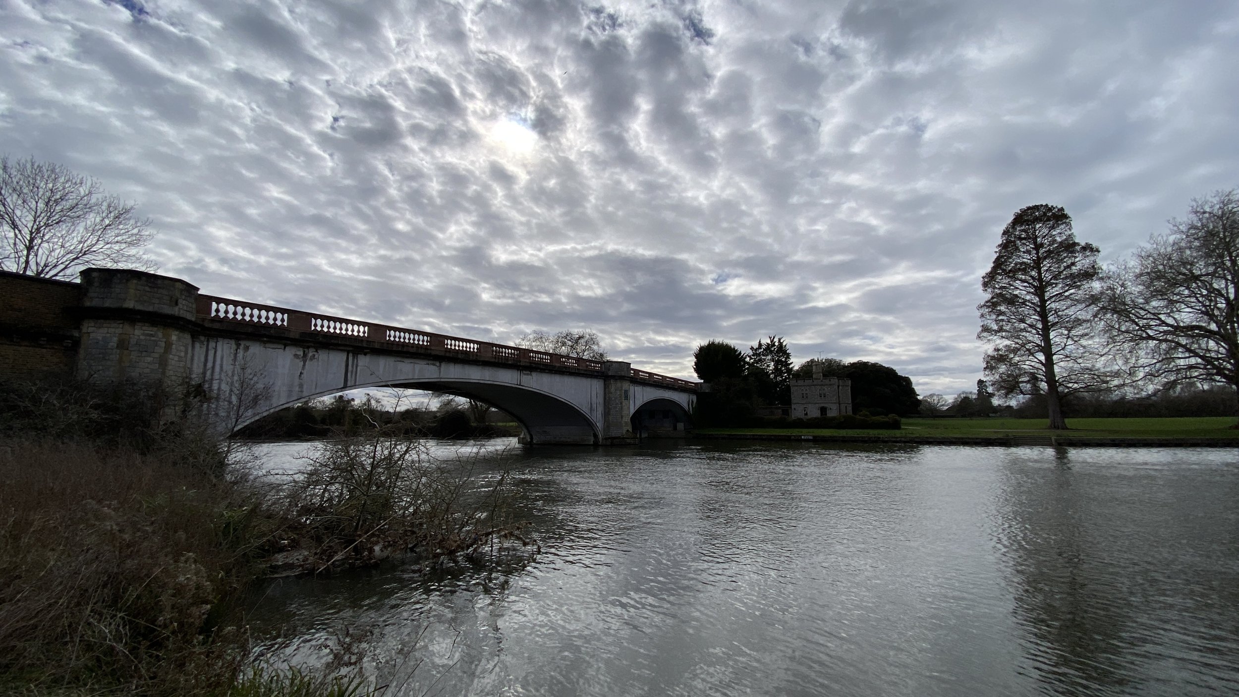
Cross over Victoria Bridge and take the path on the right to follow the Thames on the northern side. Here you’ll be able to see into the private areas of Home Park on the opposite side. The Thames Path joins the B470 after Datchet Golf Club and follows it for 130 metres, before briefly returning to the banks of the Thames for a short section to Albert Bridge. Cross Over Albert Bridge and follow the B3021 until the Old Windsor Roundabout. The Windsor Farm Shop is a good place to stop for a rest at this point.
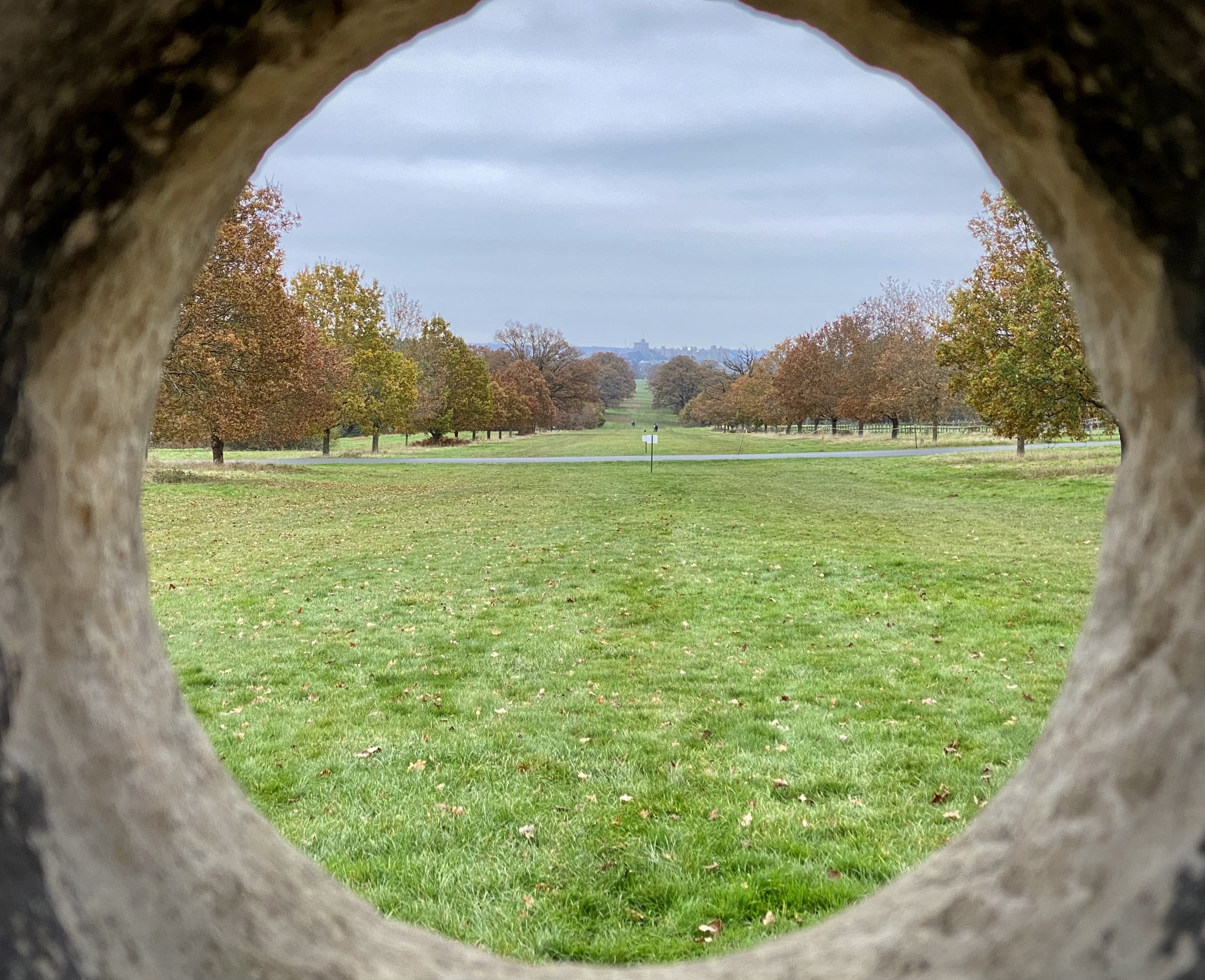
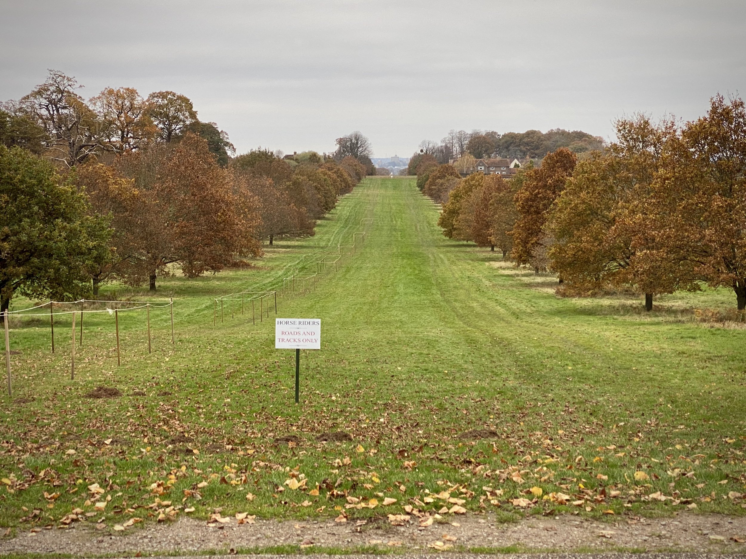
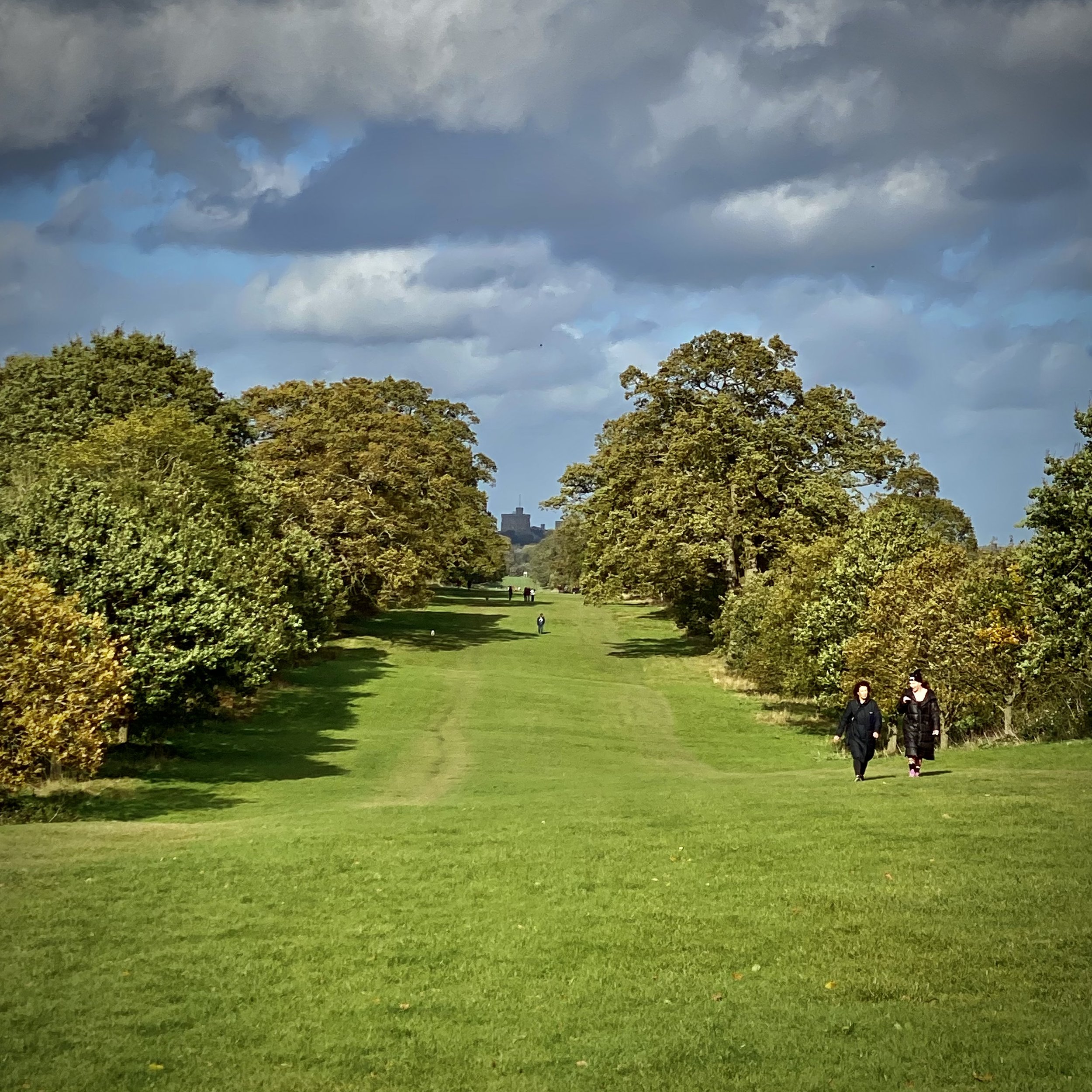
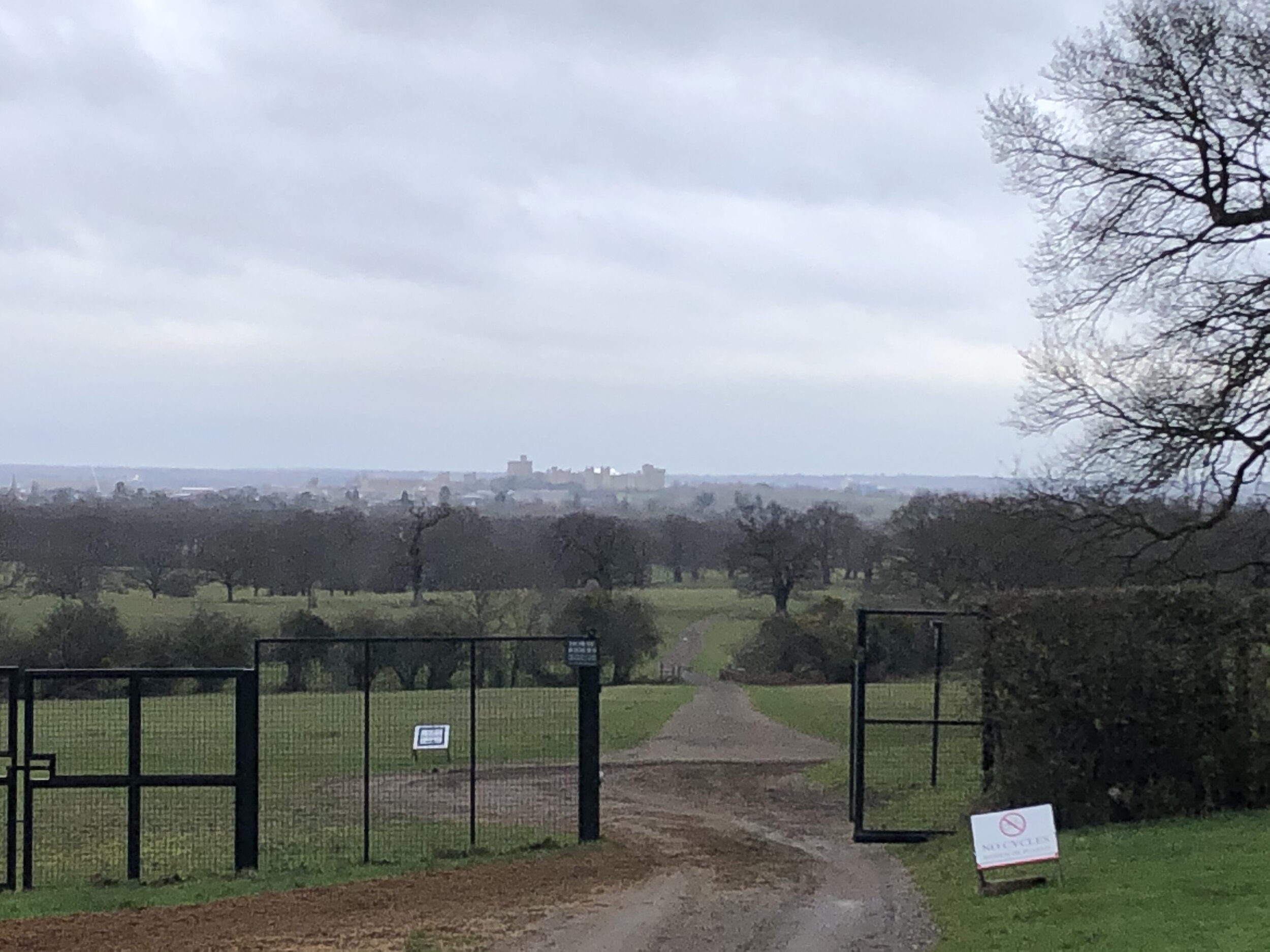
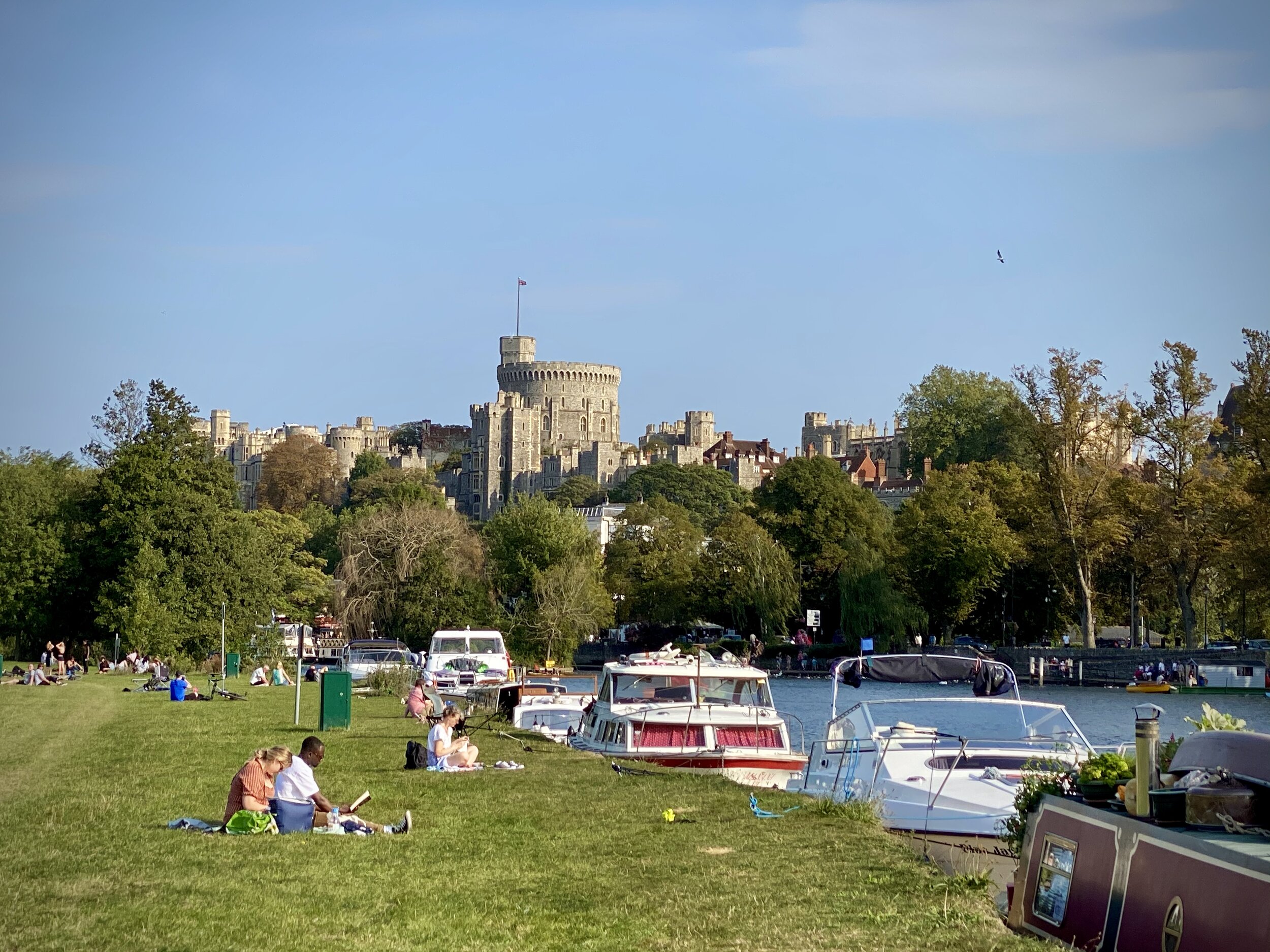
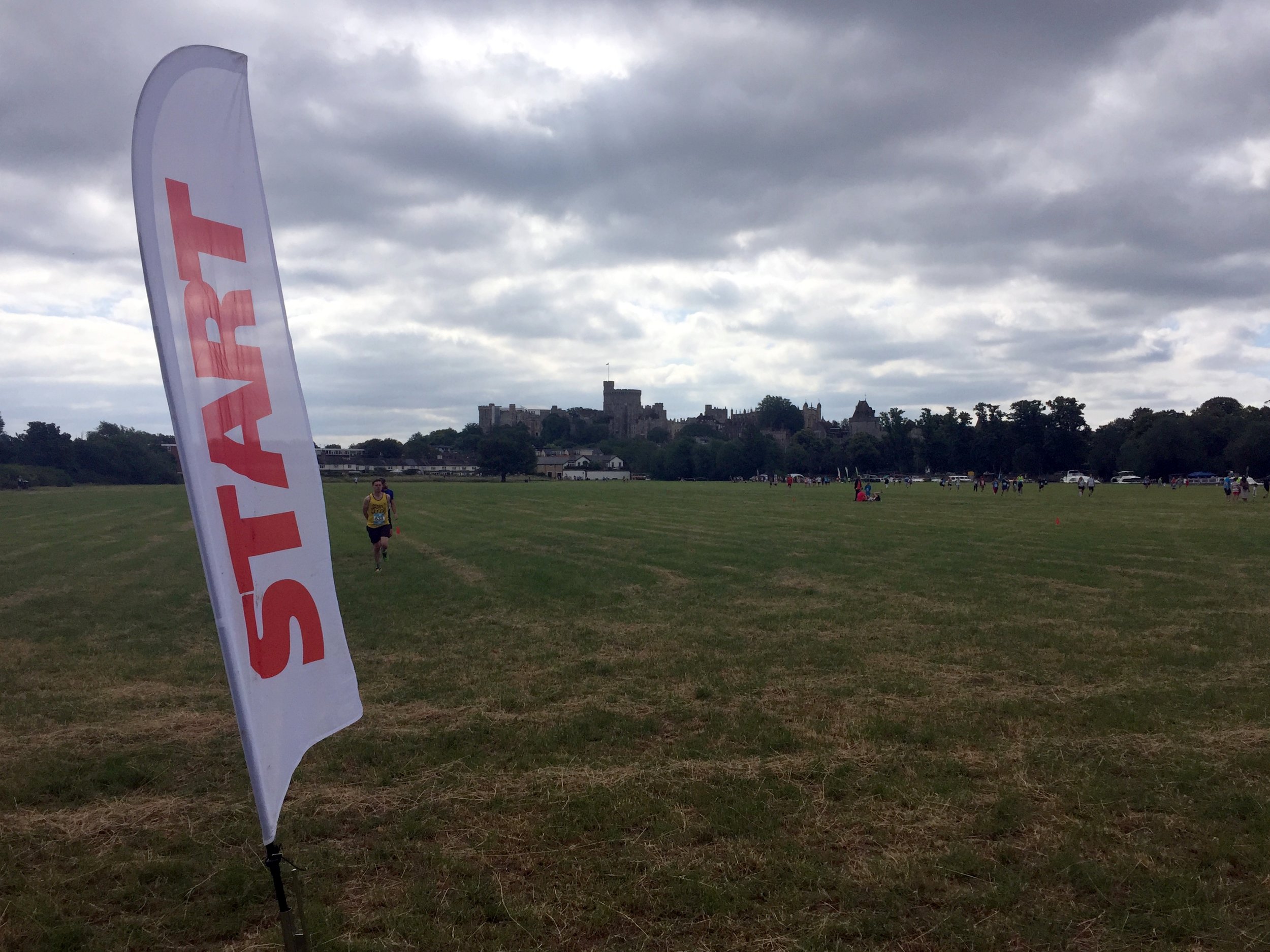
At the Old Windsor Roundabout take a right and follow the A308 for 130 metres until you reach the Long Walk. Take a right onto the Long Walk to follow it all the way to the end at the castle. Here you’ll get great views of the castle ahead of you, the rest of the long walk behind you and the Frogmore Estate to the right.
At the end of the Long Walk, take a left onto Park Street, and continue onto High Street and Thames Street all the way back to the start at the Thames.

Previous section: Thames Path & Jubilee River Walk - Eton and Datchet
Next section: Runnymede and Old Windsor Circular Walk