Distance Travelled by Activity by Year
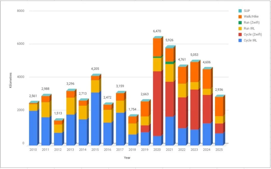
Distance in KM recorded by activity by year
TOTAL DISTANCE IN 2025
Run (outdoor): 273 miles / 436 km
Cycle (Outdoor): 456 miles / 730 km
Cycle (Zwift): 372 miles / 595 km
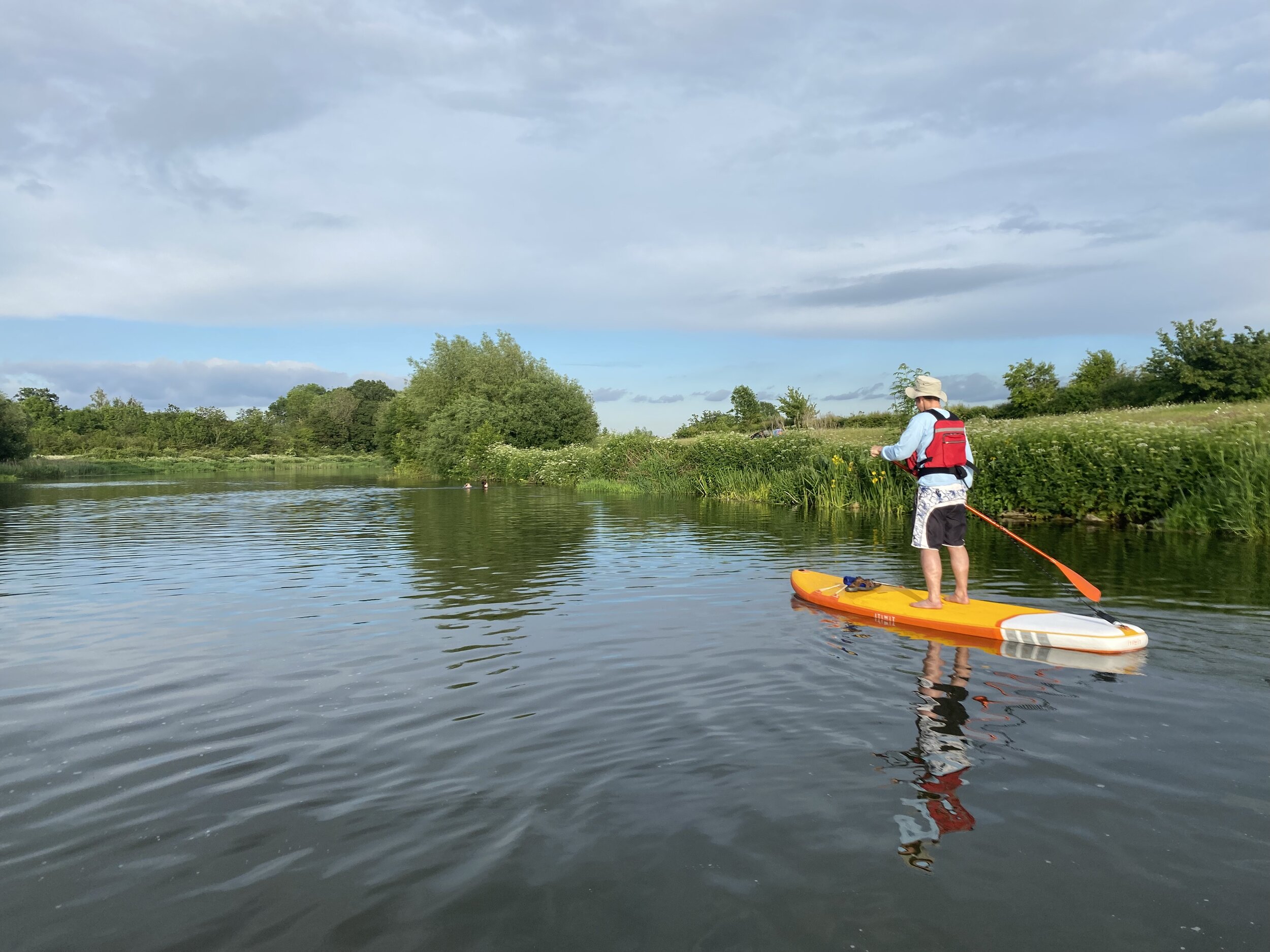
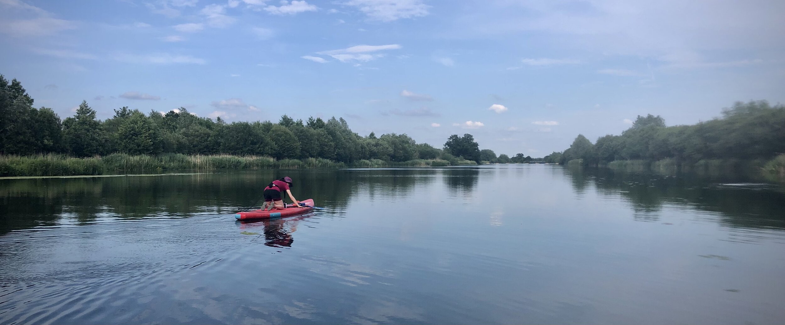
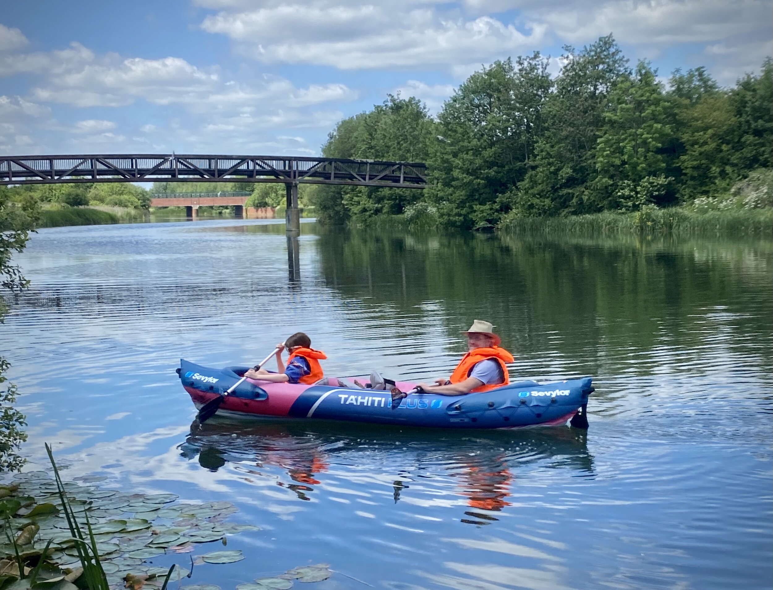
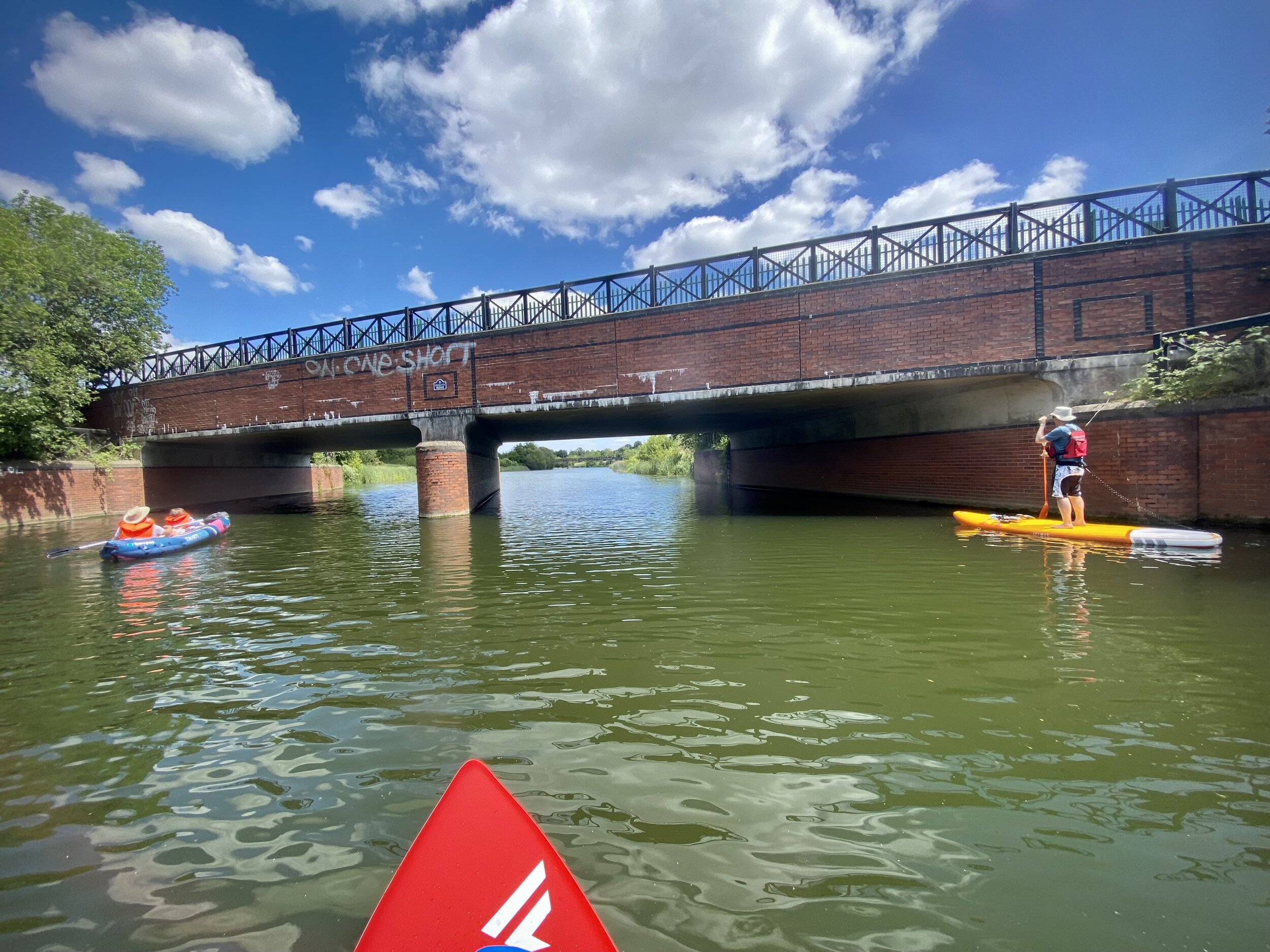
Walk/Hike*: 734 miles / 1,175 km
Total = 1,835 miles / 2,936 km
*Walk / Hike = recorded hiking & walking events, not general steps.
Key Events in 2025
Running
1 x Ultra Marathon: The Lap 75k: Lake Windermere, Cumbria
9 x 10k running events: Danesfield Trail 10k, Nettlebed Stinger 10k, Chiltern Valley 10k, Green Park 10k, Reading 10k, Romney Marsh 10k, 3 Brewers 10k, Creative Juices 10k, Shardeloes 10k Trail, Blackpit 10k
Other distance runs: Hardwick X-Stream Trail Run (9.5 km)
parkruns:
50 parkruns (Gold Obsessive), including 16 new locations
9 parkrun volunteering occasions
500 events milestone reached
250 different events milestone reached
V50 milestone reached: 50 volunteering occasions total
3 new parkrun countries: Isle of Man, Finland, Japan
Wilson Index up to 188; Golden Wilson up to 25
P Index up to 8
Trekking
2 new Country High Points: Snaefell (Isle of Man), Mount Fuji (Japan)
1 new European Island High Point: Roque de los Muchachos, La Palma, Spain … plus the Tajogiante Crater, La Palma
Bagged the High Points of Helsinki
2 new Historic County Tops: Càrn Glas-choire (Nairnshire), Carn a'Ghille Chearr (Morayshire), Ben MacDui (Aberdeenshire & Banffshire)
1 new National Park High Point: Piper’s Wait, New Forest (disputed)
5 Kent Lathes High Points: Kingswood (Scray), Wrotham (Aylesford), Farthingloe (St Augustine), Paddlesworth (Shepway)
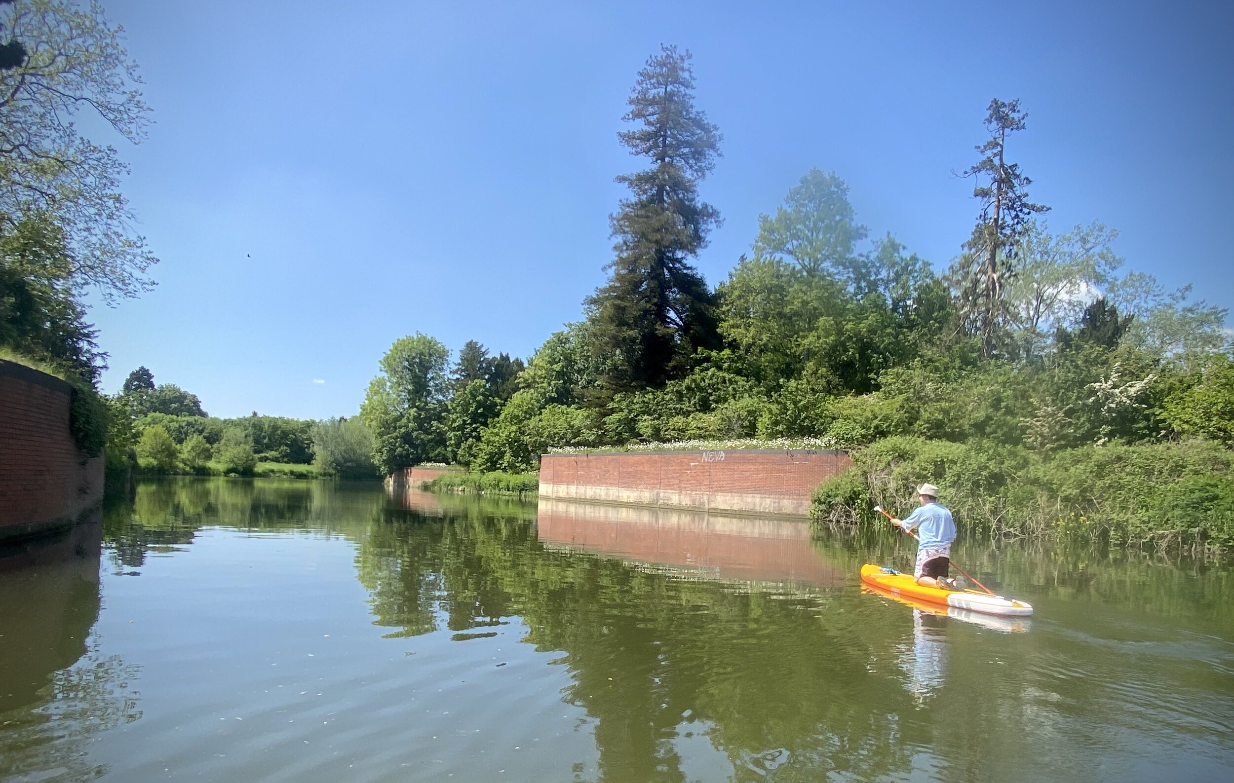
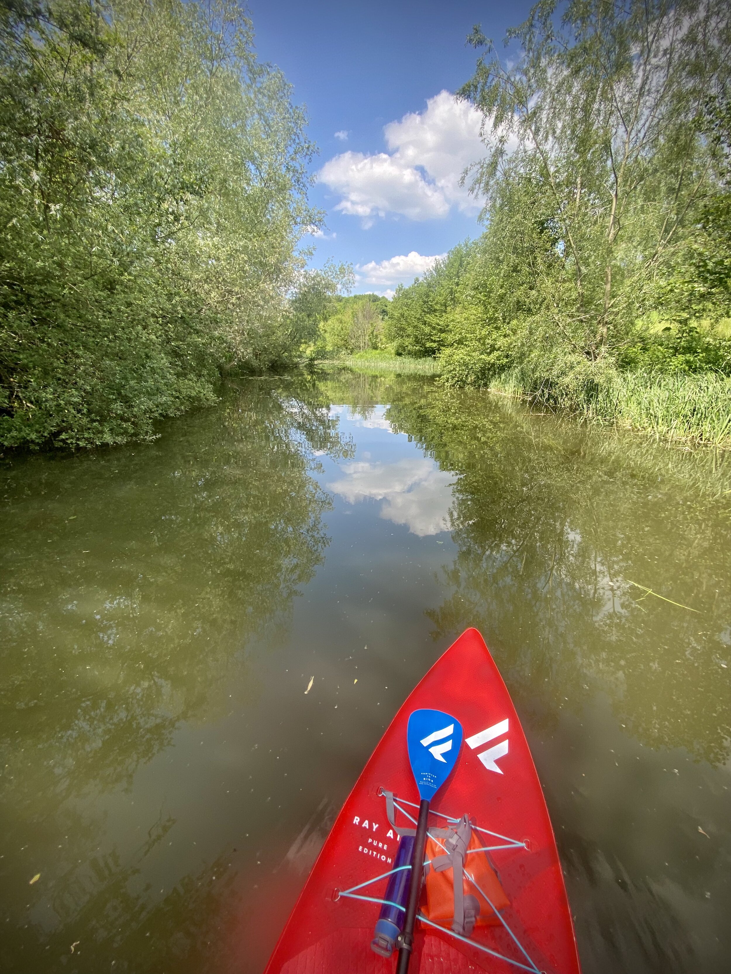
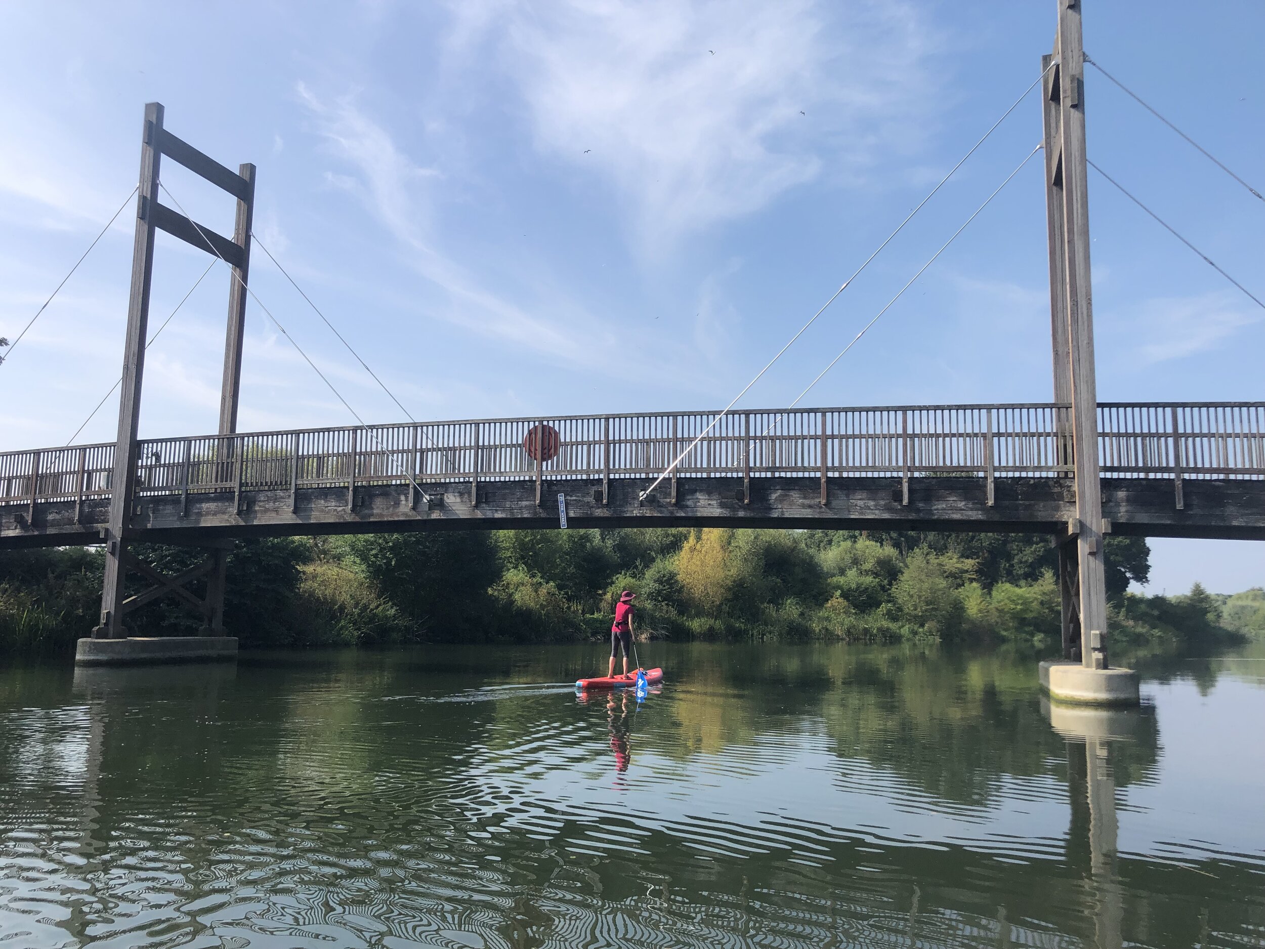
Routes Completed: Chiltern Heritage Trail, Hertfordshire Way (Chilterns Section), Shakespeare’s Way (Chilterns Section), River Wey & Wey Navigation
Cycling
General Geekery
Completed: All The London Coal Duty Posts
Completed: All The London Trig Pillars
37 OS Trig Pillars Bagged, including TP4009 - Hope Farm: The UK's Most South-Easterly Trig Pillar
2 OS Canons on the Salisbury Baseline
Completed: All The Elizabeth Line Stations