Walking The River Wey and Wey Navigation
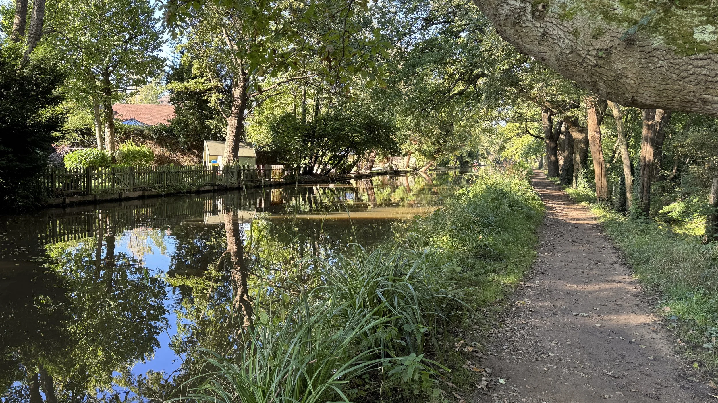
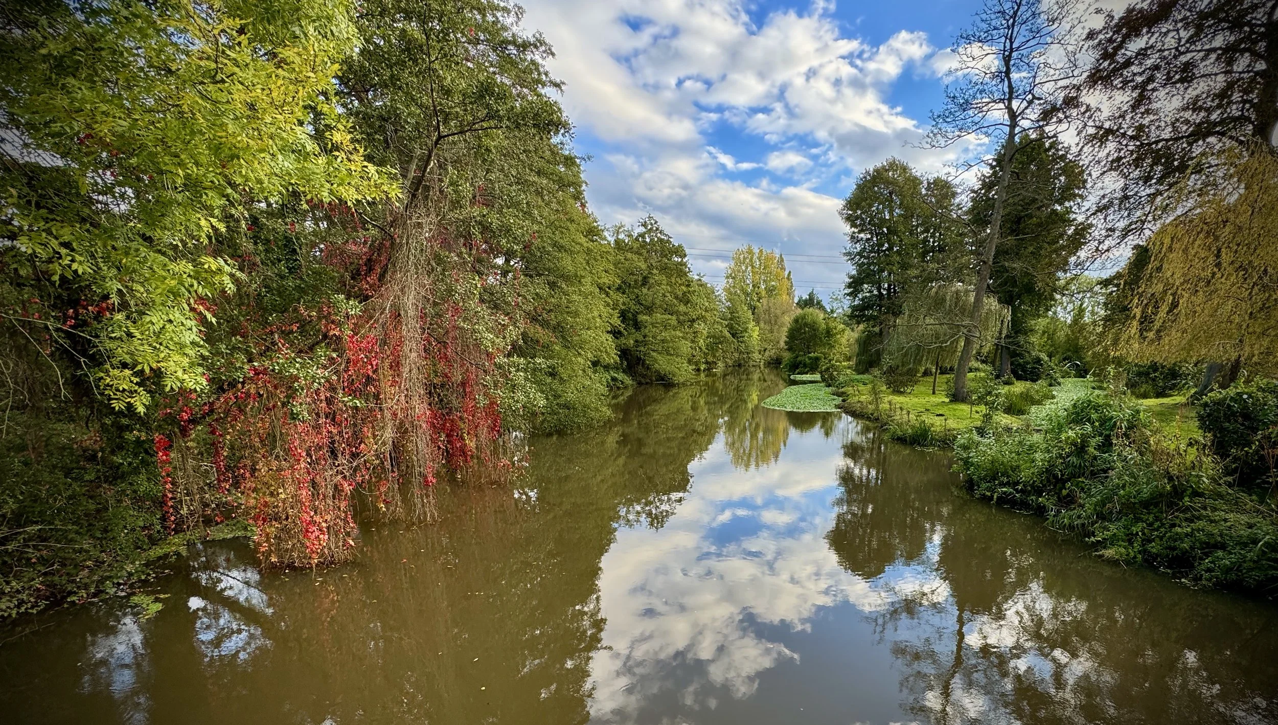
The Wey Navigation near Byfleet
The River Wey Navigation, often simply referred to as the Wey Navigation, is a remarkable feat of 17th-century engineering that transformed the natural course of the River Wey into a navigable waterway. Stretching for just under 20 miles (32 km) through the heart of Surrey, from Godalming to its confluence with the River Thames at Weybridge, it holds the distinction of being one of Britain's first truly successful navigations. Opened in 1653, its creation predates many other well-known canals, making it a pioneering example of inland waterway transport and a vital artery for goods like timber, flour, and agricultural produce to reach London.
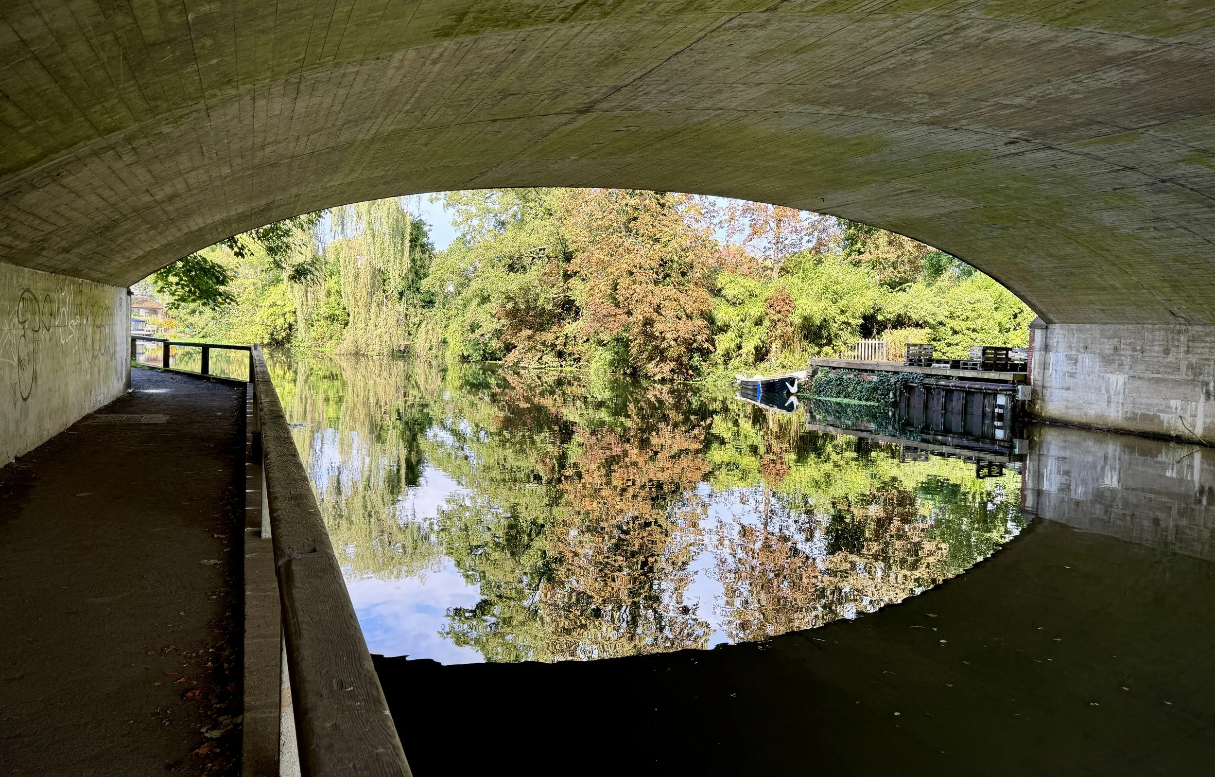
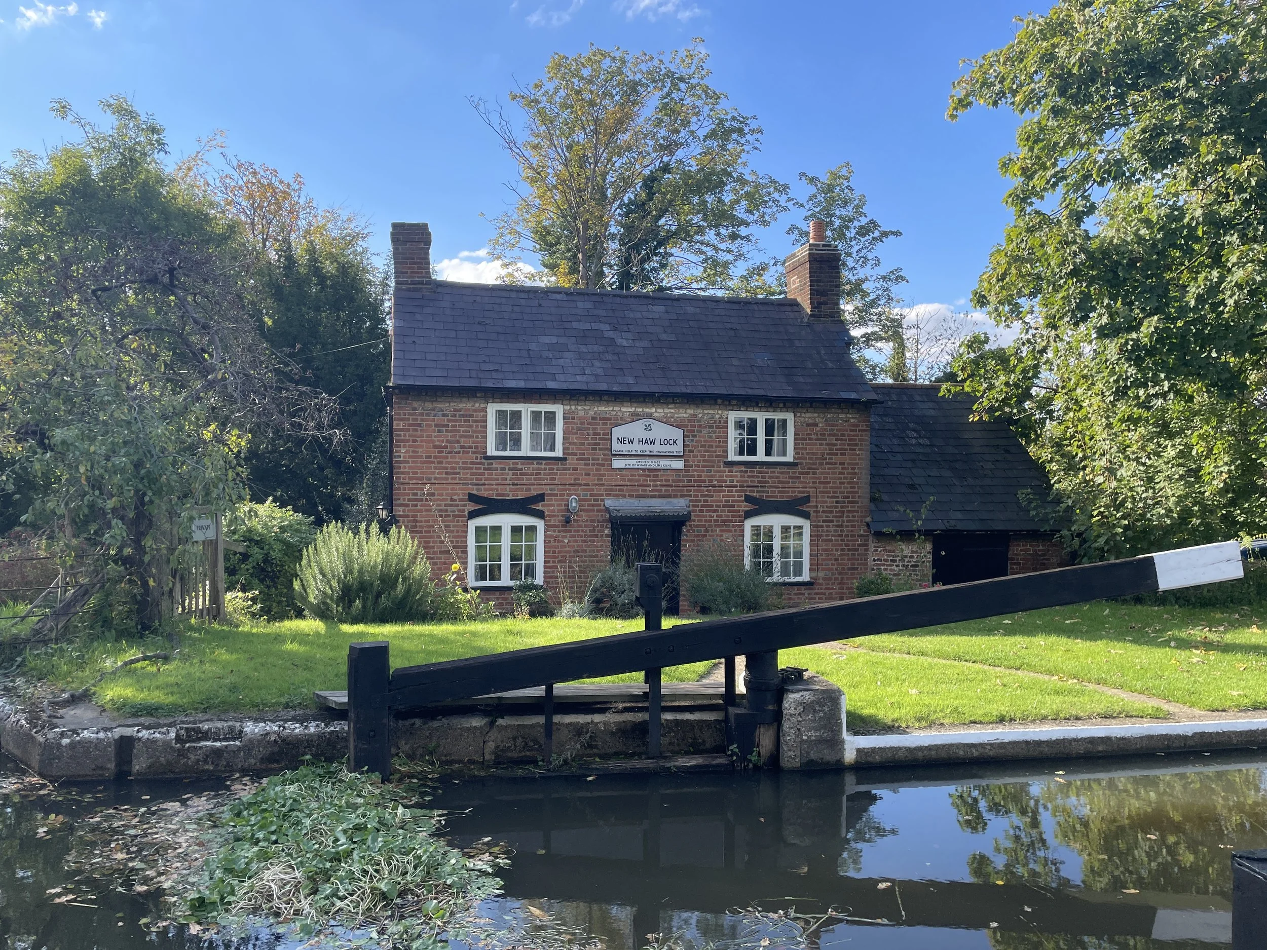
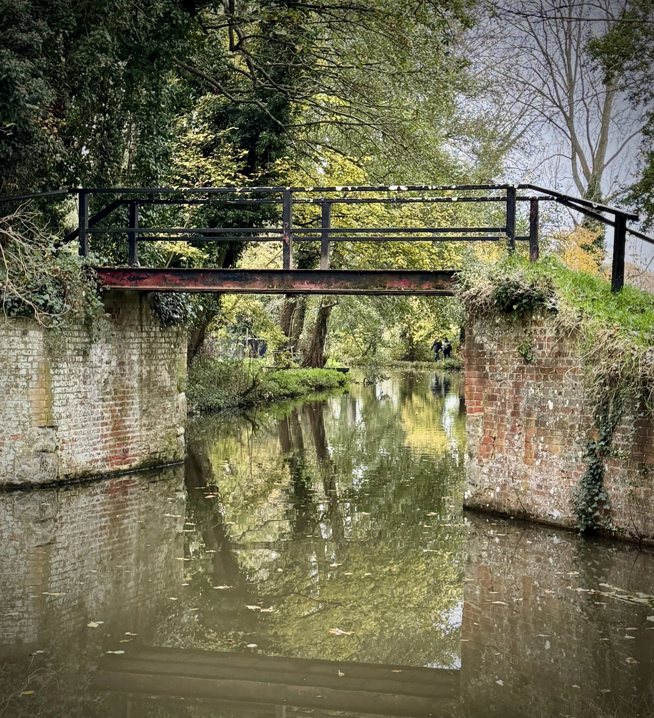
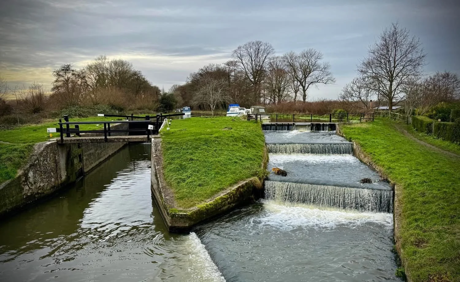
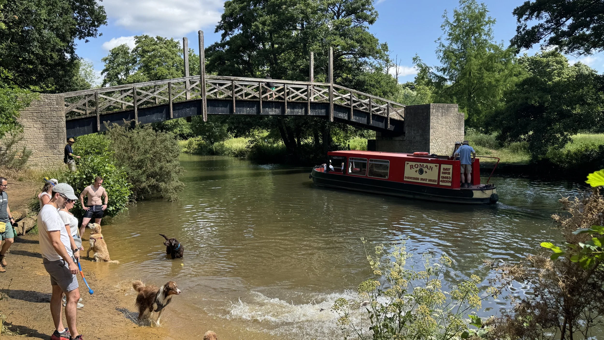
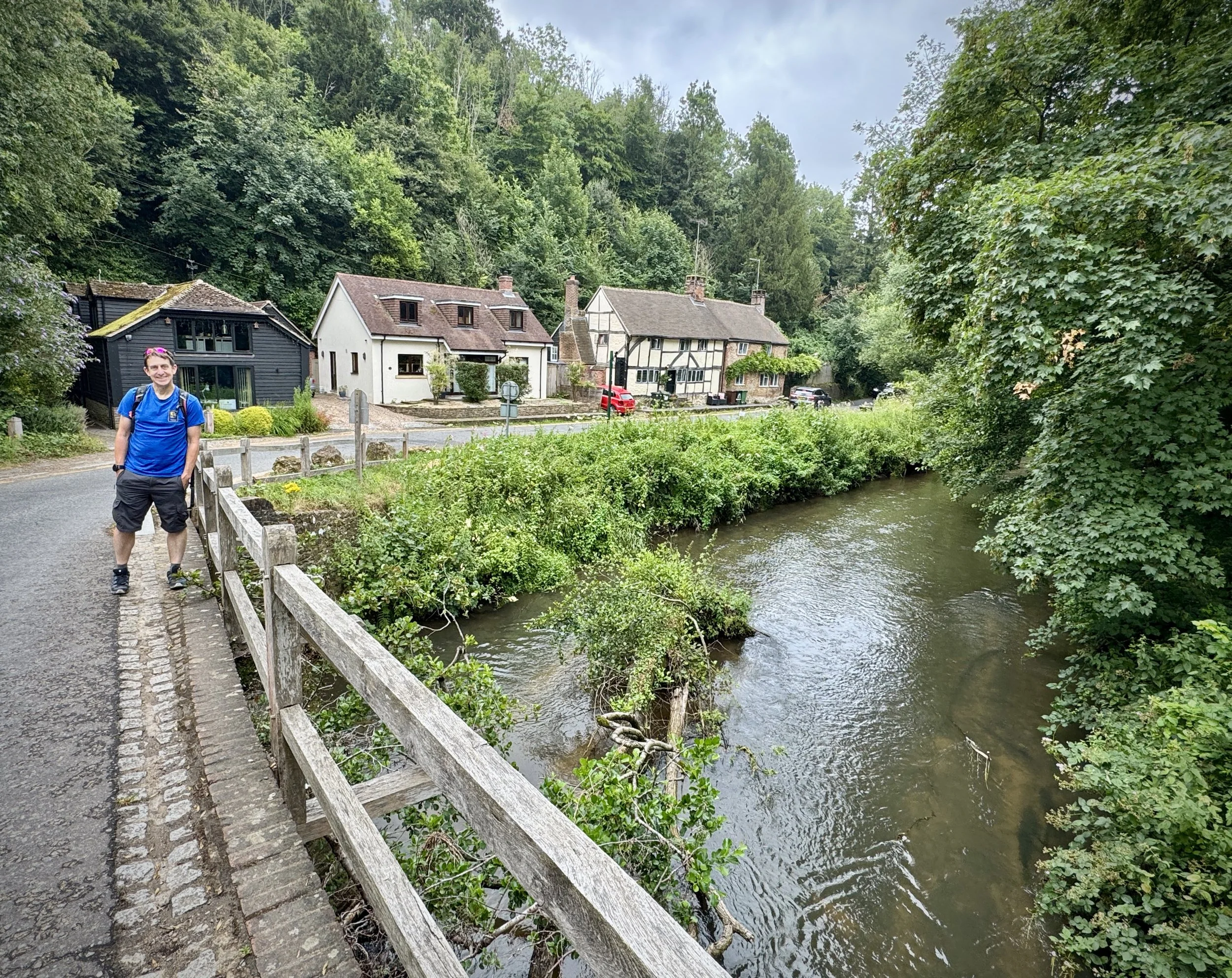
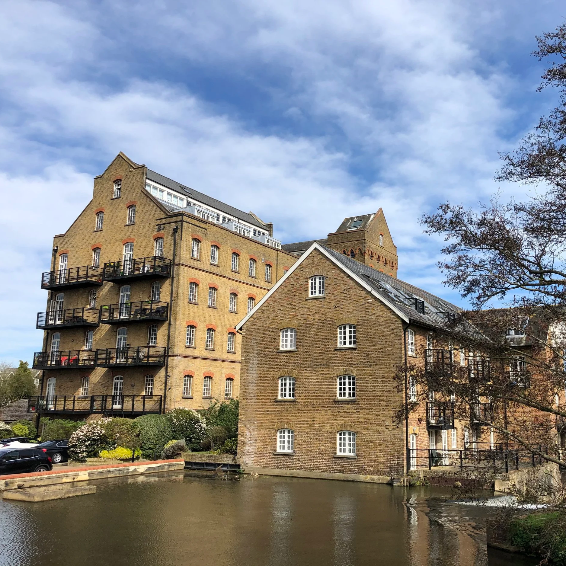
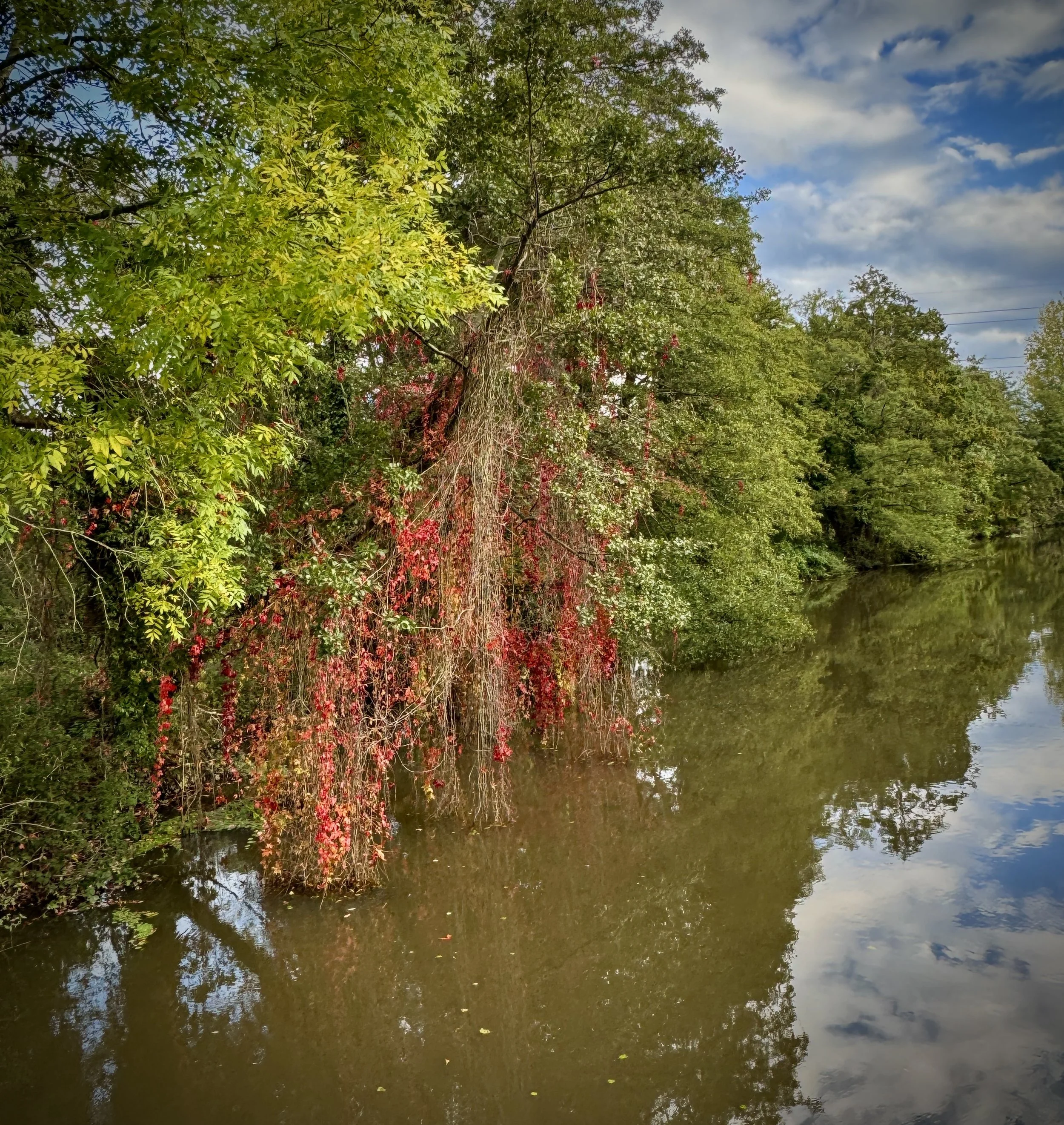
Unlike many later canals that involved extensive cutting and embankment, the Wey Navigation largely followed the natural river course, enhanced by a series of 17 locks, weirs, and cuts. This blend of natural river and engineered improvements allowed barges to bypass shallow sections and rapids, ensuring a reliable transport route. The infrastructure along the navigation is a testament to the ingenuity of its original builders, with many of the locks, lock houses, and associated buildings retaining their historic character. Walking or cycling along its towpaths offers a picturesque journey through diverse landscapes, from tranquil water meadows and ancient woodlands to the fringes of bustling towns like Guildford.
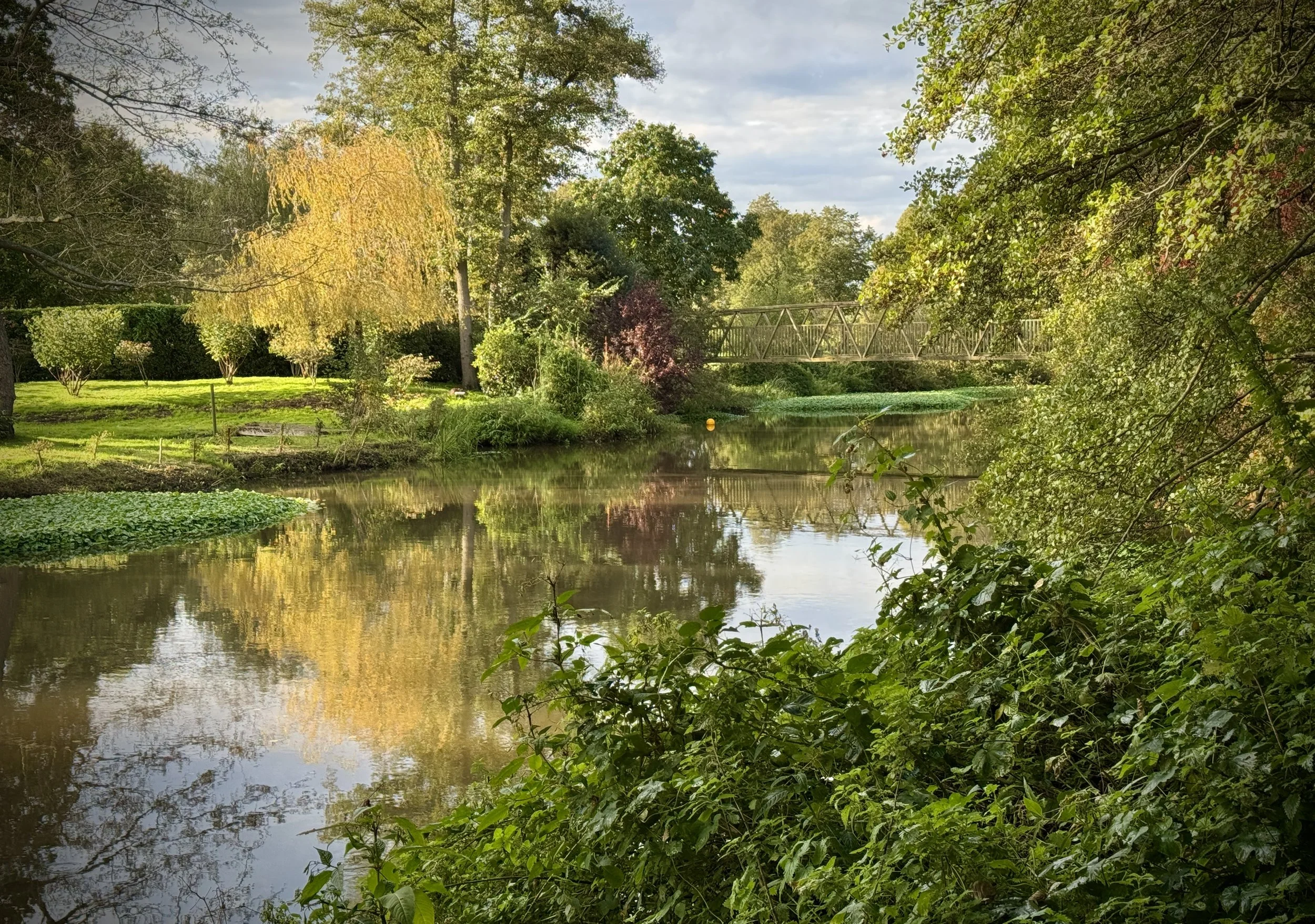
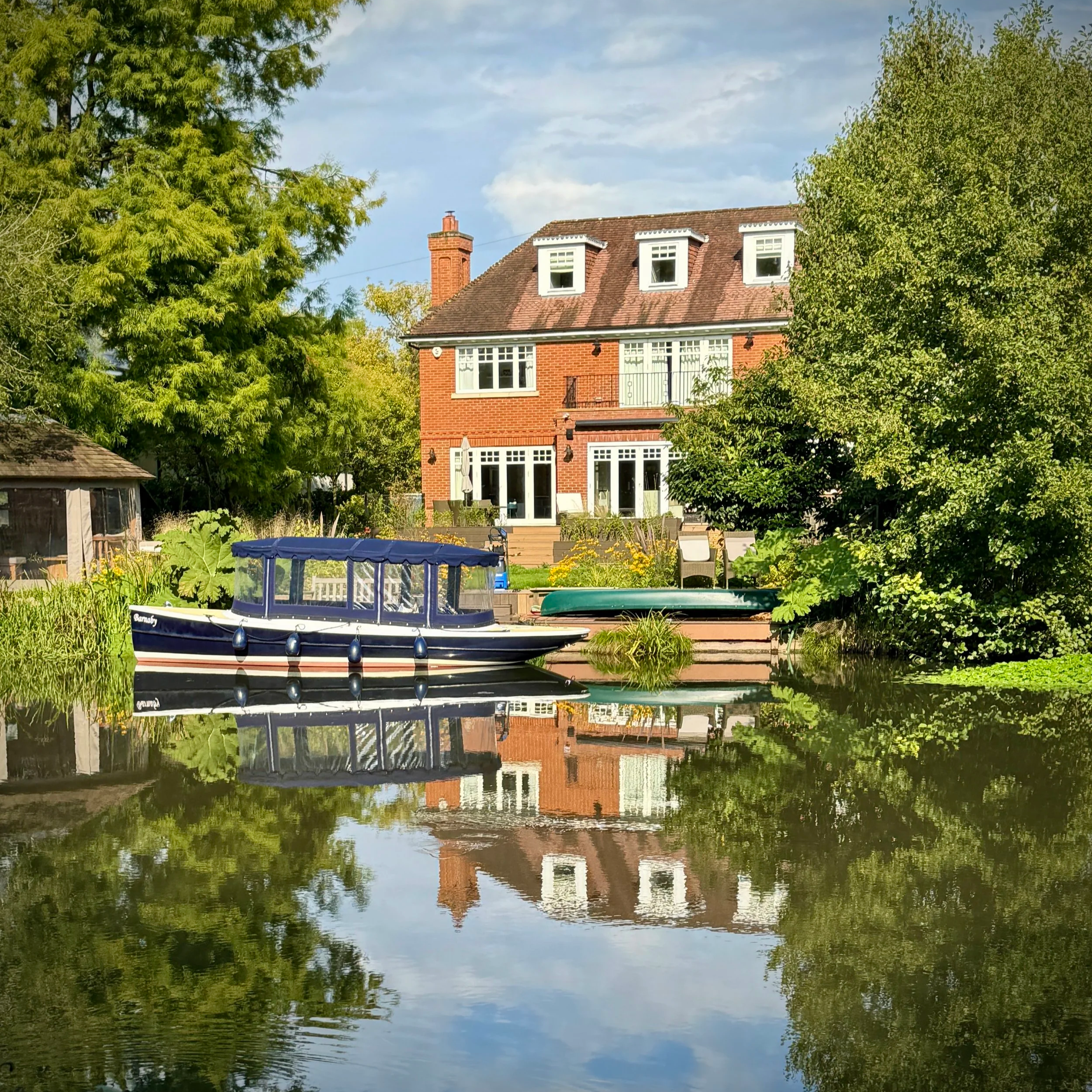
Today, the Wey Navigation is no longer a commercial highway but has found a new life as a cherished recreational asset. Managed by the National Trust since 1968, it provides a haven for wildlife and a tranquil escape for visitors. Boating, canoeing, and paddleboarding are popular activities, offering a unique perspective of the Surrey countryside. Anglers enjoy its well-stocked waters, and birdwatchers are often rewarded with sightings of kingfishers, herons, and various waterfowl.
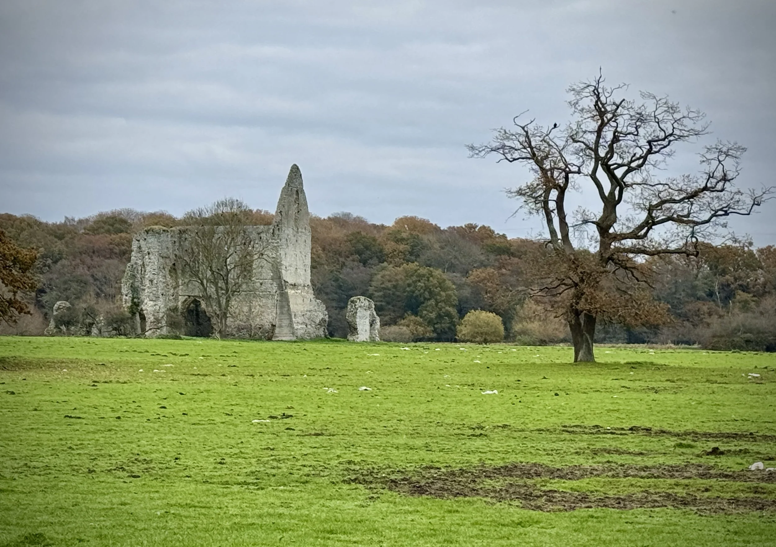
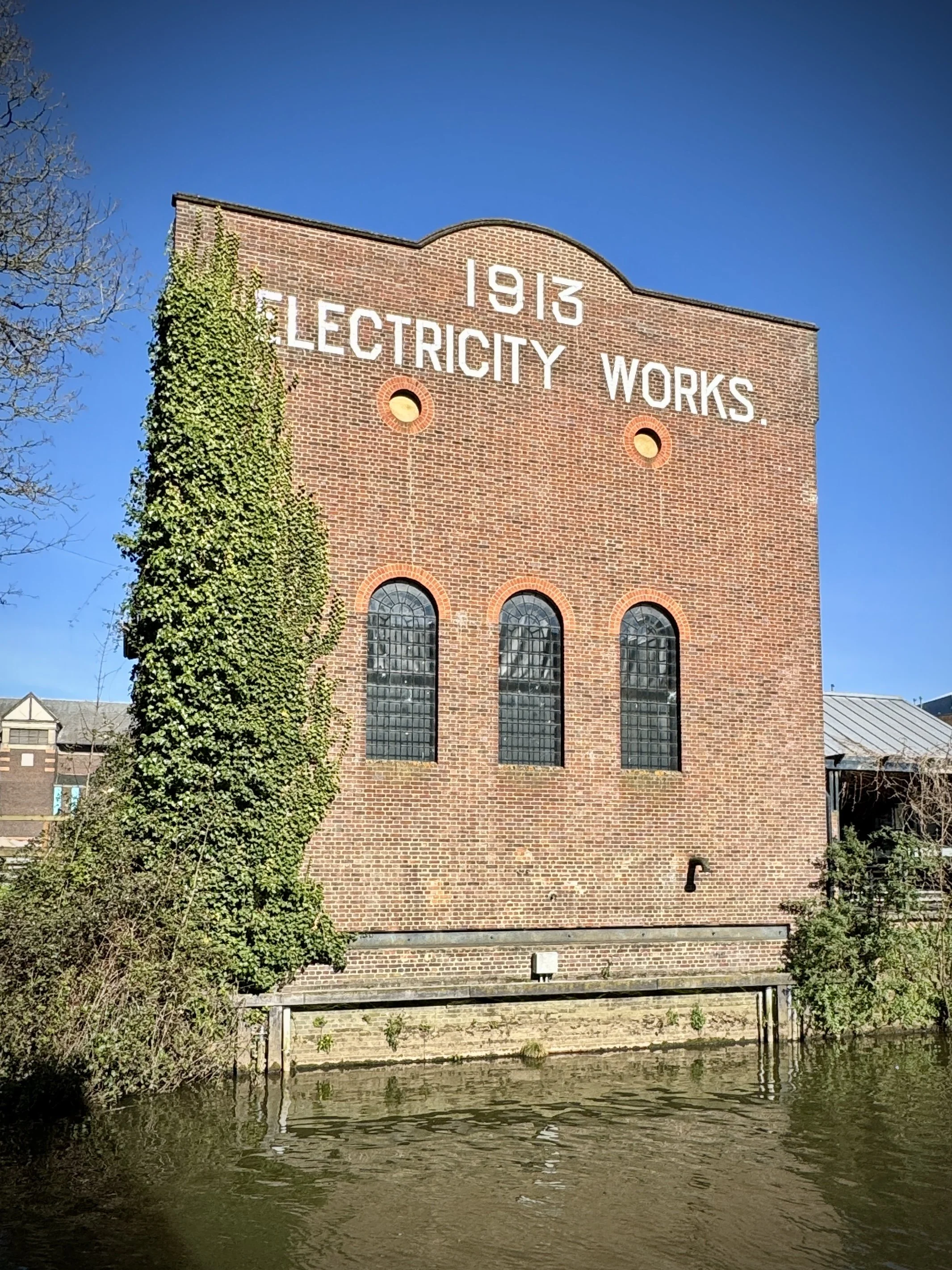
Beyond its recreational appeal, the Wey Navigation serves as a living museum, offering insights into the industrial past of Surrey. Many of the old wharves and warehouses can still be seen, hinting at the bustling trade that once flowed along its waters. Interpretive boards along the route provide snippets of its history, and the National Trust actively works to conserve its heritage, ensuring that future generations can continue to enjoy this historic waterway. Whether you're interested in engineering history, wildlife, or simply a peaceful day out, the Wey Navigation offers a rich and rewarding experience, connecting communities with nature and a fascinating past.
Point to Point: Walking the Wey Navigation
Start: Thames Lock, Jessamy Road, Weybridge, KT13 8LG
Finish: Godalming Station, Station Approach, Godlaming, GU7 1EU
Distance: 32.5 km (20.2 miles)
Elevation change: + 146m / - 111m. Net -35m
GPX File: get via Buy Me a Coffee
Maps:
- OS Explorer Map (160) Windsor, Weybridge & Bracknell
- Guildford & Farnham Map | Godalming & Farnborough | Ordnance Survey | OS Explorer Map 145
Links: LWDA: Wey Navigations, Wikipedia: Wey and Godalming Navigations, National Trust: River Wey and Godalming Navigations
See individual section posts linked below for other links.


Walking the Wey Navigation and River Wey in 9 walks
If you’re not up for a 32 km walk in one go, you can take in the Wey Navigation and River Wey in 9 walks of between 7 and 12 km each. We chose this option, completing all 9 sections over 2 years from 2024 to 2025. Two of the walks are point-to-point with an easy rail connection from the finish back to the start. The others are circular walks from good parking spots. The final section follows the River Wey beyond the end of the Wey Navigation to Eashing, the final point where you can walk next to the river.

Each number refers to a circular walk below. Base map: Esri Topo via RideWithGPS
Part 1: Weybridge and Desborough Island
Start & Finish: Churchfield Car Park, Churchfield Road, Weybridge, KT13 8DB
Distance: 8.4 km (5.2 miles)
Elevation Change: +/- 34m
Part 2: Weybridge Locks and Levels Trail
Start & Finish: Churchfield Car Park, Churchfield Road, Weybridge, KT13 8DB
Distance: 7.3 km (4.5 miles)
Elevation Change: +/- 43m

Start / Finish: Weybridge Railway Station, Station Approach, Weybridge, KT13 8UD
Distance: 7.3 km (4.5 miles)
Elevation Change: +/- 28m
Start & Finish: High Road Parking, 10 High Road, Byfleet, West Byfleet, KT14 7QG
Distance: 8.1 km (5 miles)
Elevation Change: +/- 33m
Start & Finish: Ripley High Street, Ripley, Woking, GU23 6AN
Distance: 8.6 km (5.3 miles)
Elevation Change: +/- 50m

Start & Finish: Newark Lane Car Park, Ripley, Woking, GU23 7ES
Distance: 9.7 km (6 miles)
Elevation Change: +/- 39m

Part 7: Worplesdon to Guildford
Start: Worplesdon Station, Woking, GU22 0RN
Finish: Guildford Station, Guildford GU1 4UT
Distance: 11.9 km (7.4 miles)
Elevation Change: +/- 52m

Part 8: Guildford to Godalming
Start: Guildford Station, Guildford GU1 4UT
Finish: Godalming Station, Godalming GU7 1EU
Distance: 8.9 km (5.5 miles)
Elevation Change: +49m / - 42m. Net +7m

Start and Finish: Crown Court Car Park, 41 The Burys, Godalming, GU7 1HR
Alternative Start and Finish: Godalming Station, Godalming GU7 1EU
Distance: 8.2 km (5.1 miles)
Elevation Change: +/- 90m

Start and Finish: Parkin on Tilford Green, 2 Tilford Street, Tilford, Farnham, GU10 2BN
Distance: 9.3 km (5.8 miles)
Elevation Change: +/- 170m