Edinburgh Crescent County Tops

Ascent of Innerdouny Hill
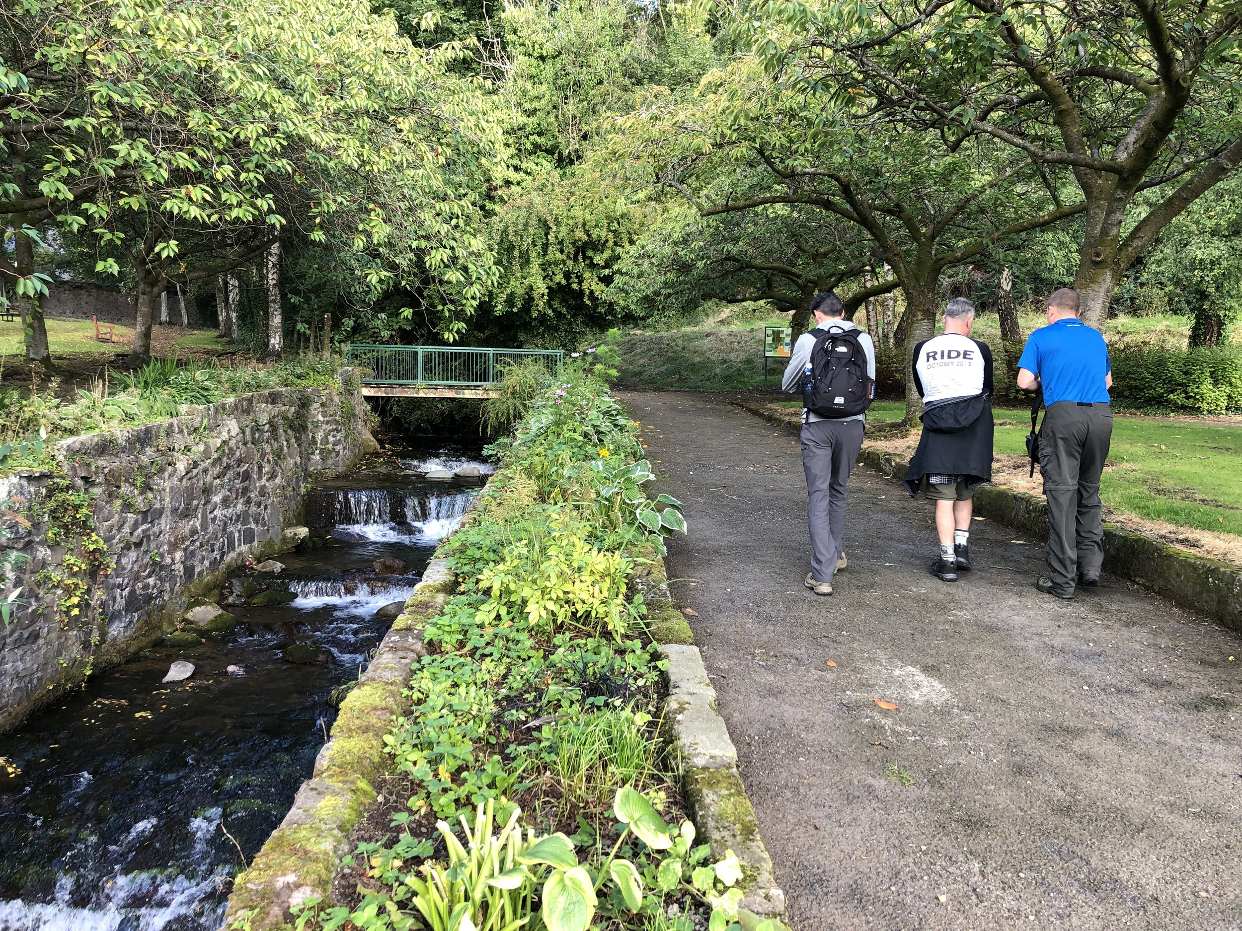
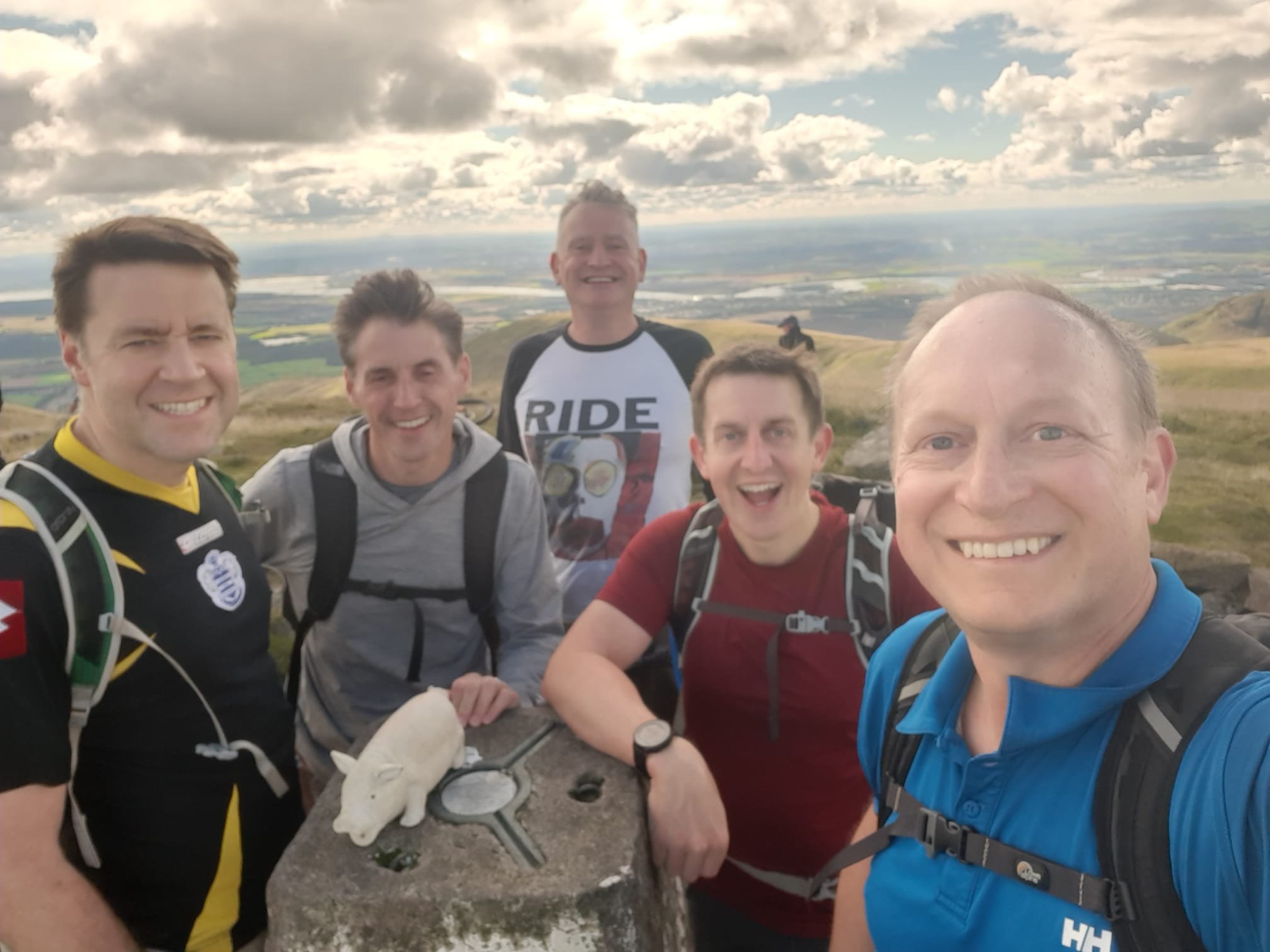
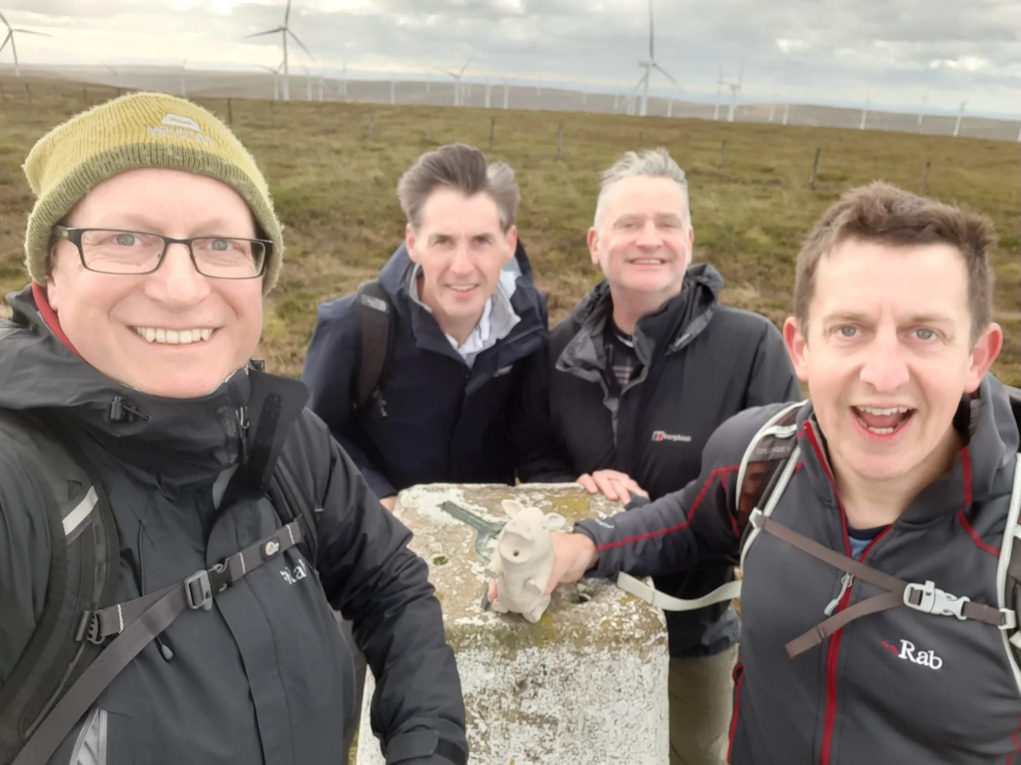
Our UK County Top bagging trips have now got into a rhythm of an annual long weekend at the end of September. Our group has also grown to 6, although there’s always the inevitable last minute cancellation due to house move / new job / failing body / [*insert excuse here]. For our second Scottish adventure we tackled the “Edinburgh Crescent”, a collection of 6 high points covering 7 historic counties, all within an hour of Edinburgh airport.
We also managed to bag a couple of “bonus peaks”, Allermuir HIll and Arthur’s Seat over the weekend. See this post for details on these.
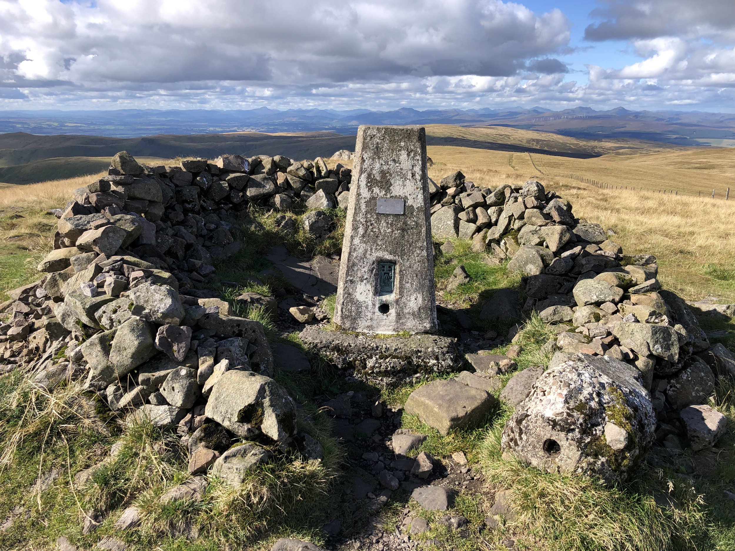
West Lomond
Significance: Highest peak in the Historic County of Fife.
Member of: Marilyn
Parent Peak: Ben Cleuch
Nearest Higher Neighour = Innerdownie
Elevation: 522m
Date climbed: 23rd September 2022
Coordinates: 56° 14' 43'' N, 3° 17' 49'' W
Route Start / End: Bunnet Stane Car Park, Cupar, KY14 7RR
Route Distance: 4.5 km (2.8 miles)
Route Elevation Change: +/- 365m
Subsidiary tops on route: None
GPX File: get via Buy Me a Coffee
Other routes touched (walk): None
Other routes touched (cycle): NCN 1 / EV12 passes Bunnet Stane Car Park
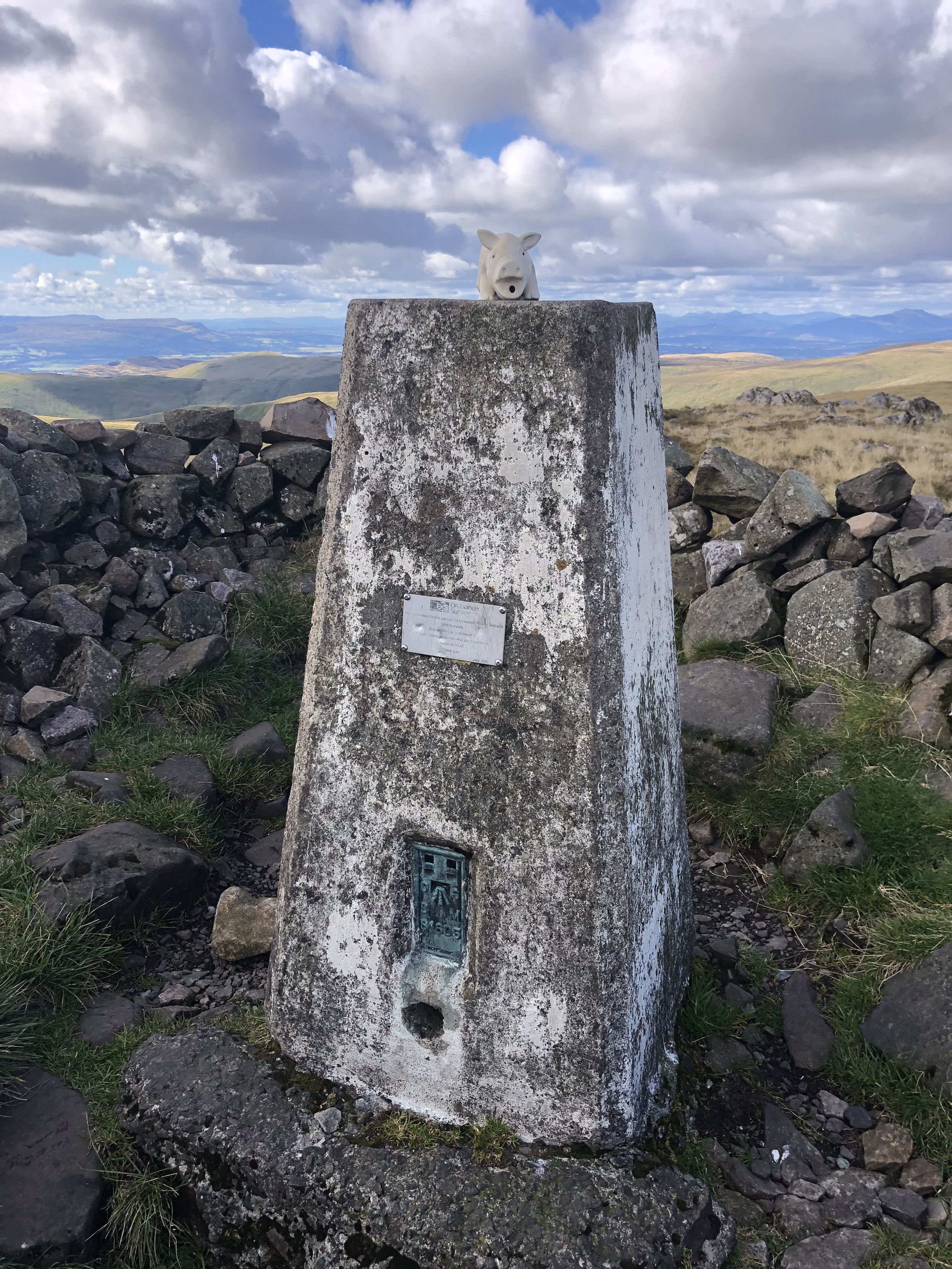
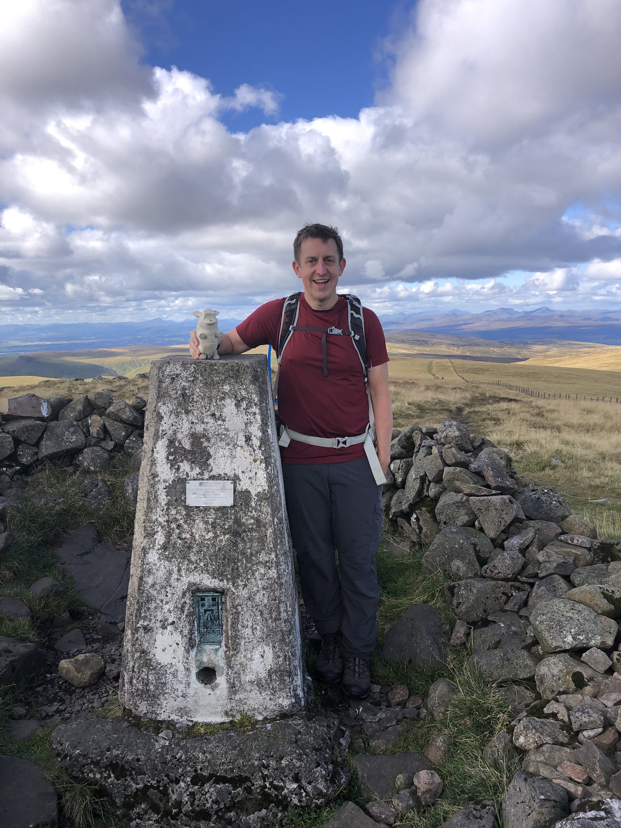
OS Trig Pillar: TP0674 - West Lomond
Map: Glenrothes North, Falkland & Lomond Hills Map | Auchtermuchty & Cupar | Ordnance Survey | OS Explorer Map 370
Guidebook: The UK's County Tops (Jonny Muir)
Links: Wikipedia (West Lomond), Wikipedia (Fife), Bunnet Stane, Peakbagger
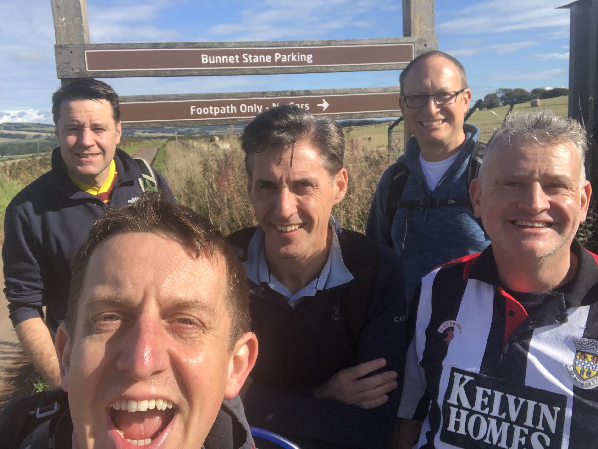
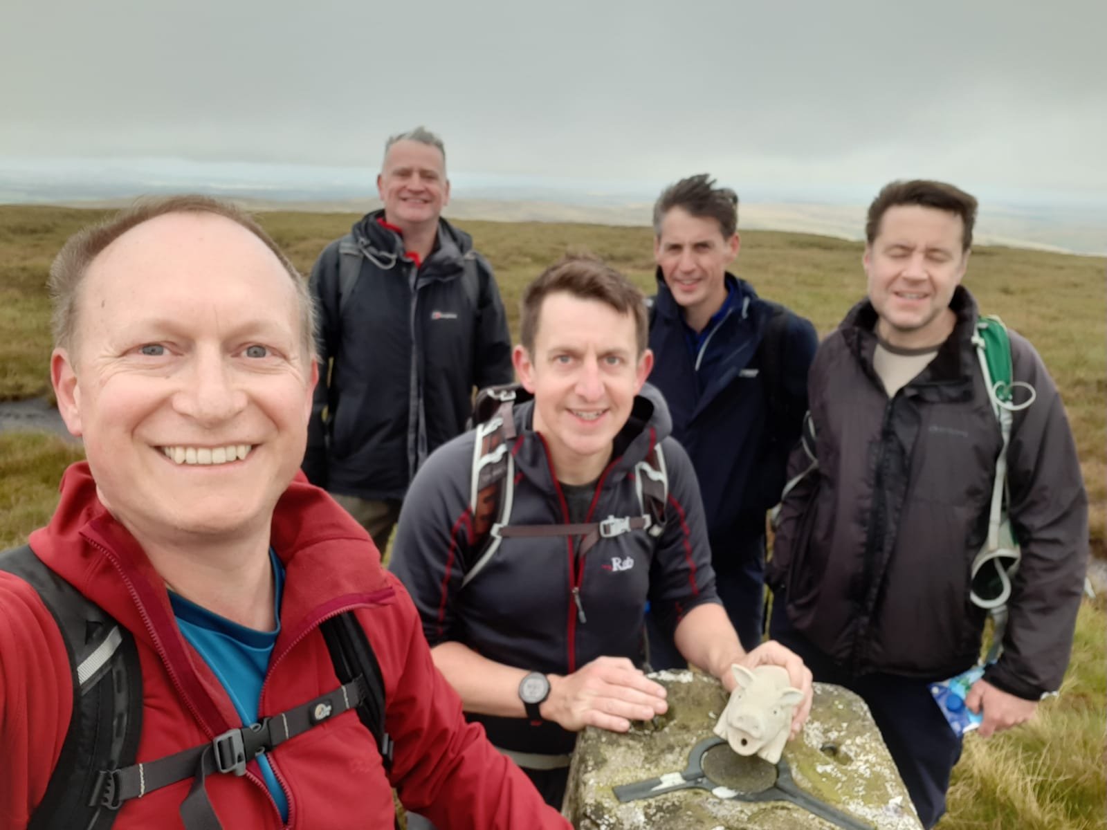
Having landed in Edinburgh Airport mid-morning on the Friday, we picked up a rental car for the 40 minute drive to West Lomond. This is the most north-easterly of this trip’s peaks and a nice warm-up for the longer treks to follow. We met with Joel, who drove from Northern Ireland, at Bunnet Stane Car Park. Don’t let the “car park” label fool you though, it’s just a layby for about 4 cars with a parking sign on it.
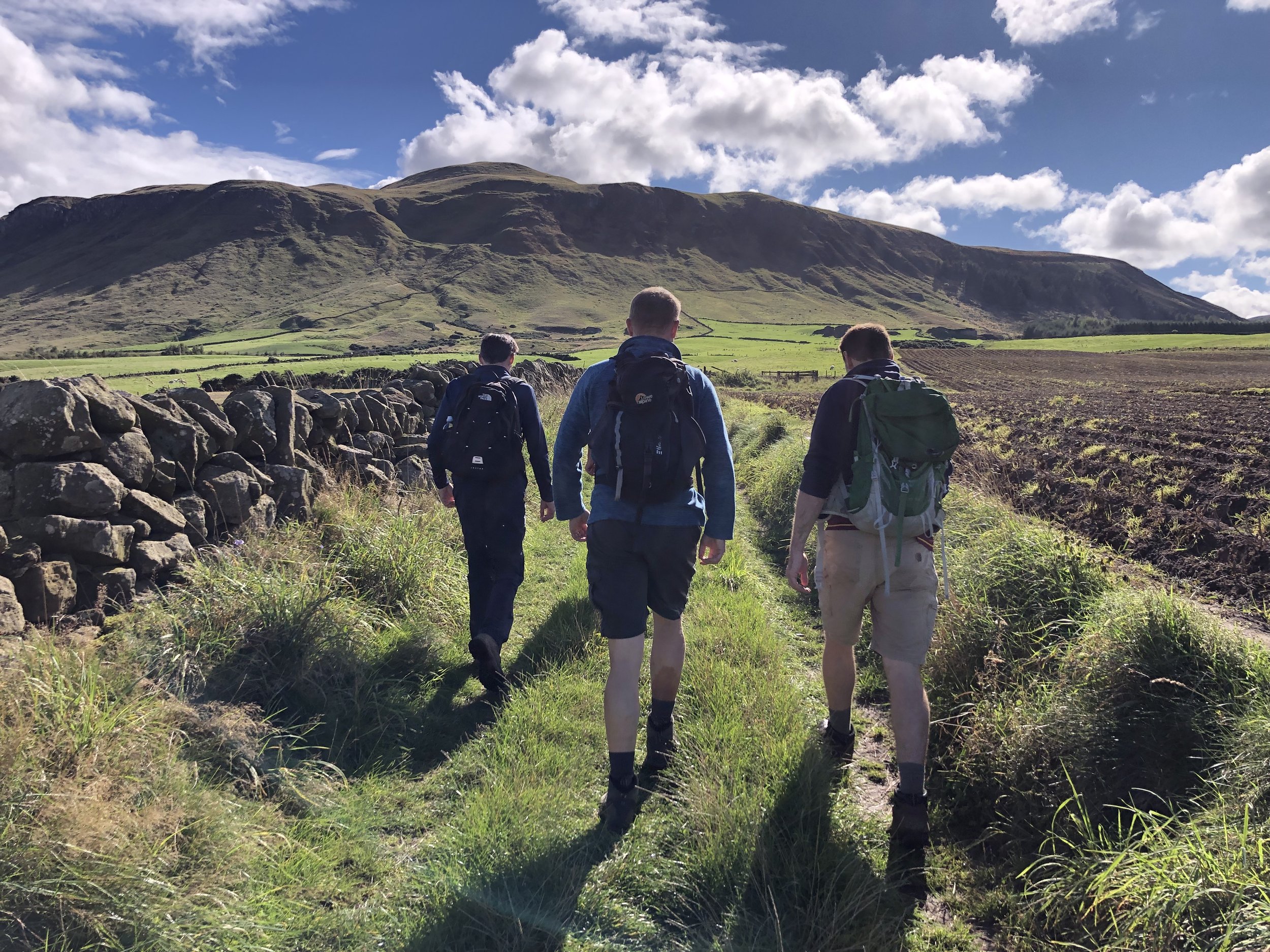
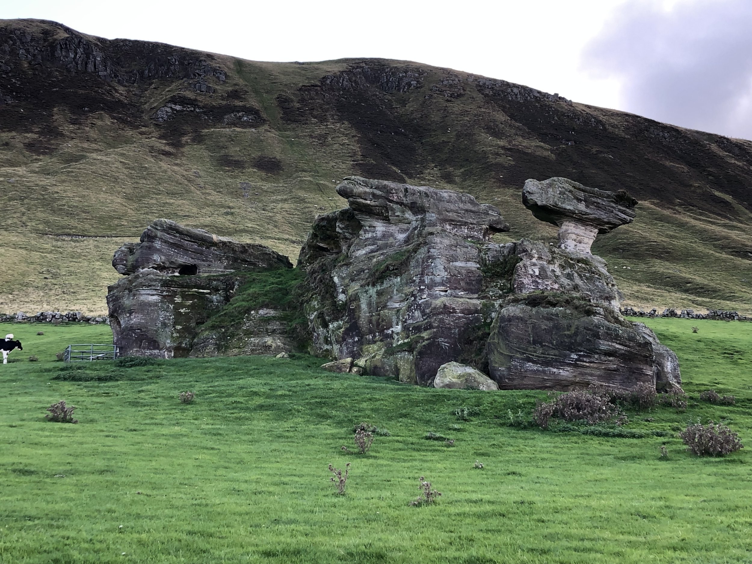
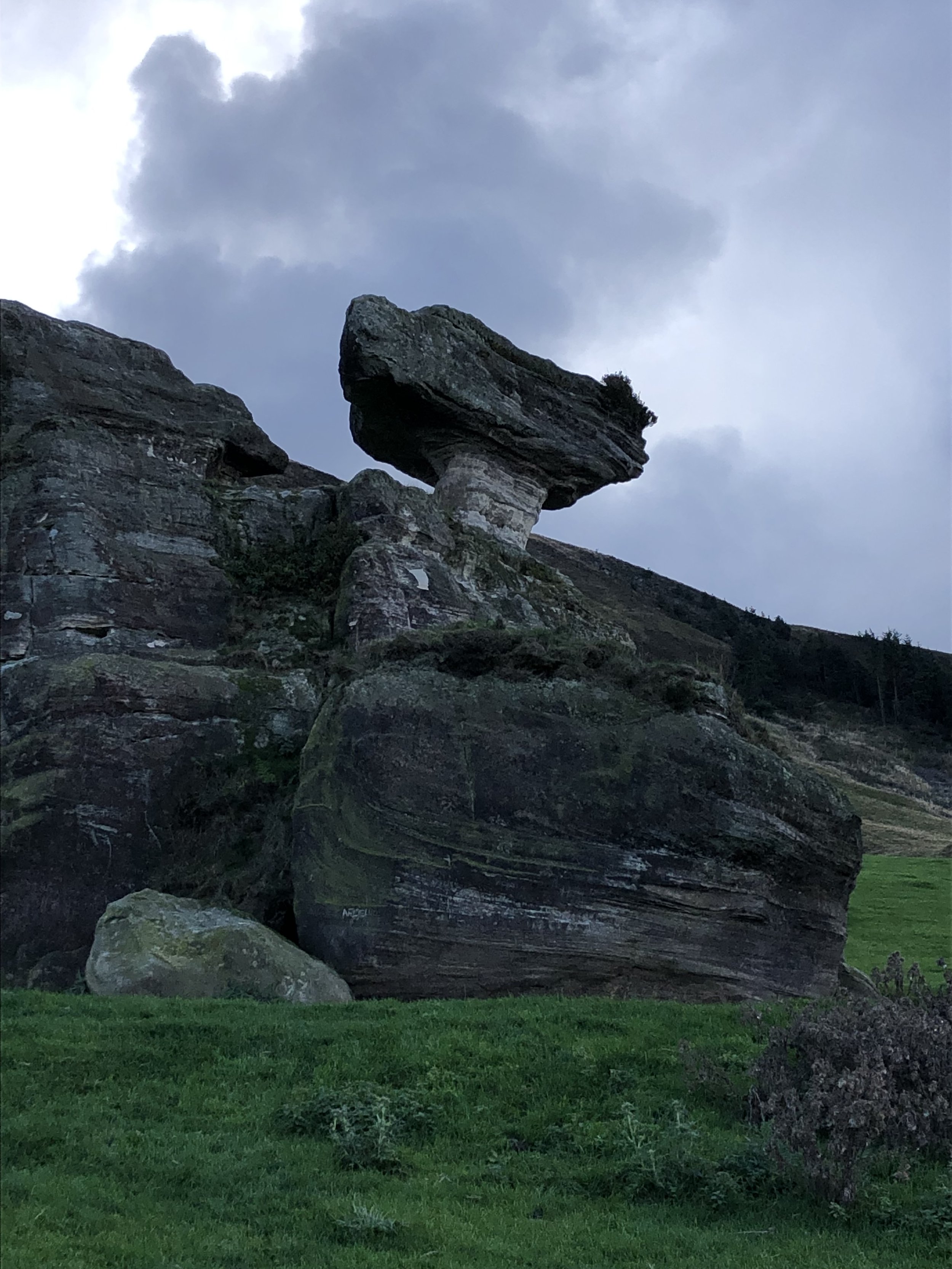
The walk to the summit is fairly straightforward, initially flat before getting steeper after Bunnet Stane. This is a rock formation with a man-made cave at the bottom and a information sign describing the history and myth around it. It’s worth stopping here to check it out before the ascent to the summit.
There’s several footpaths to the Trig Pillar at summit but we chose the most well-trodden. For the descent I originally planned to return on the same route but decided at the top to mix it up a bit and make it a circle. This didn’t work out too well as the path I chose to follow was cut of by a fence ahead of a steep drop. We took a alternative, slightly less steep, route down to meet the path we came up on. In hindsight we would have been better off sticking to the out-and-back.

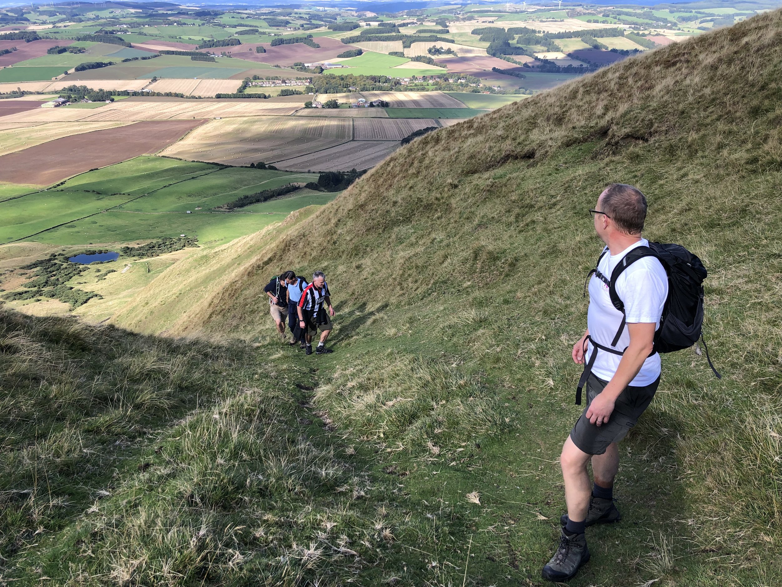

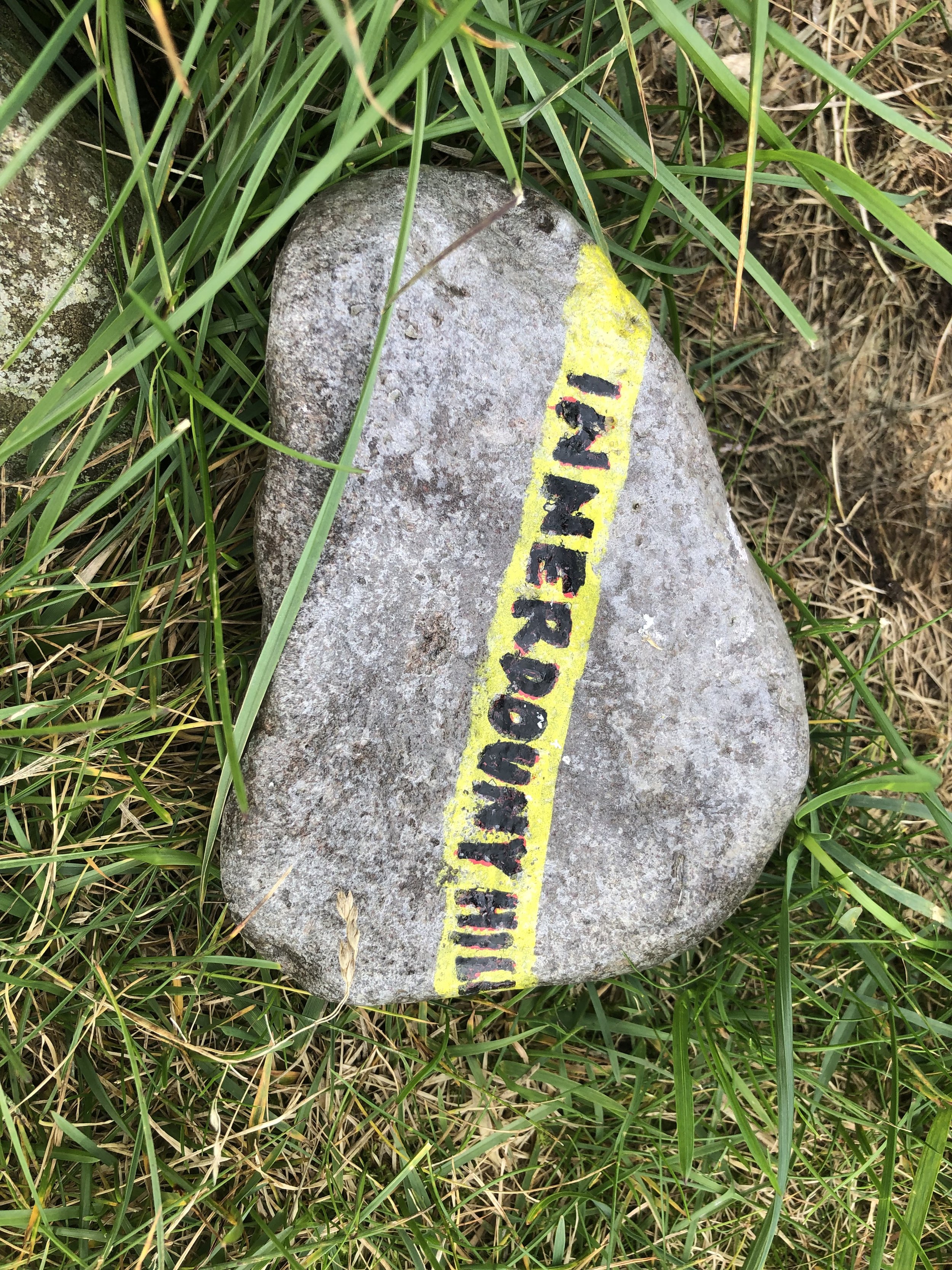
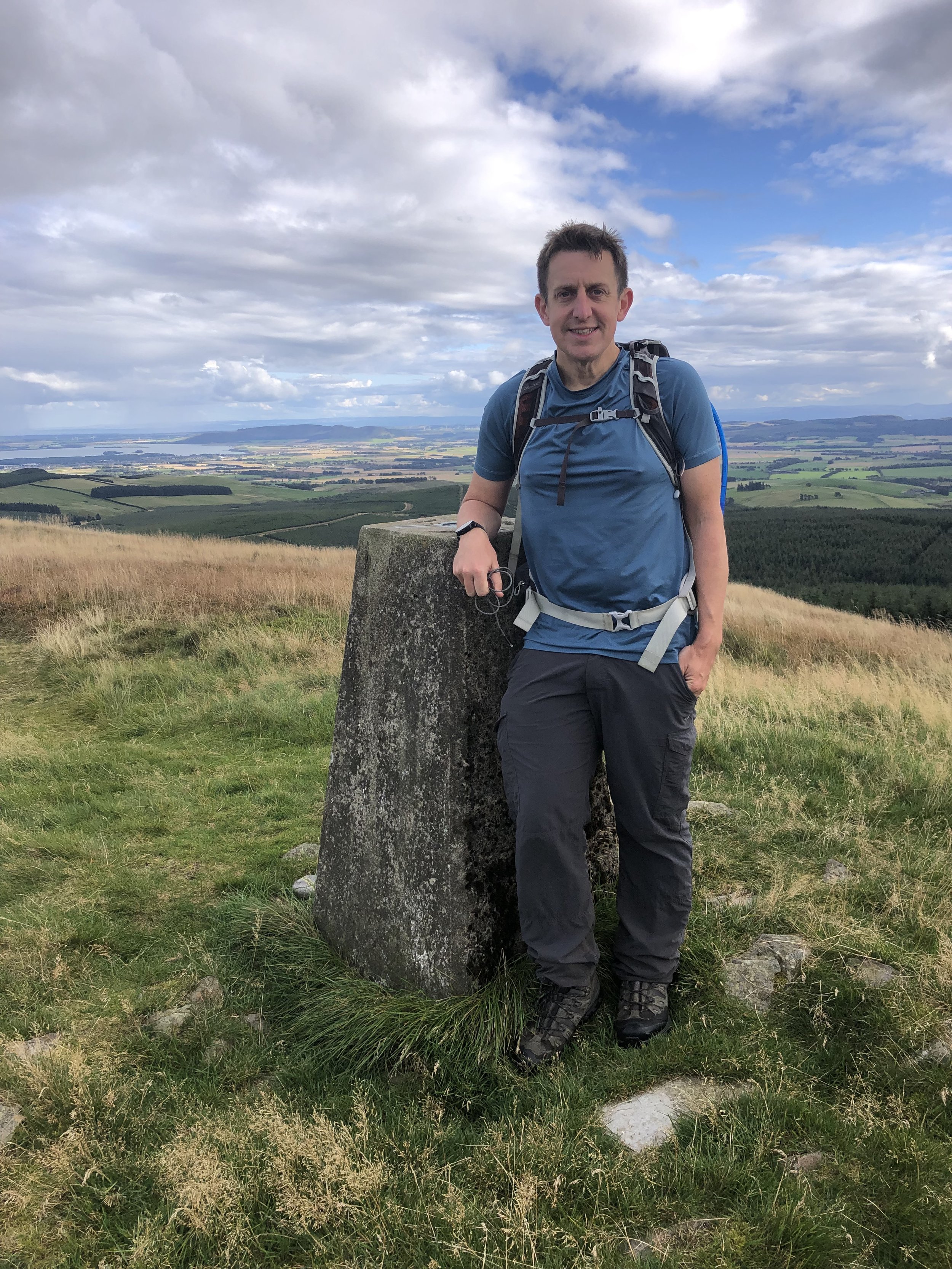
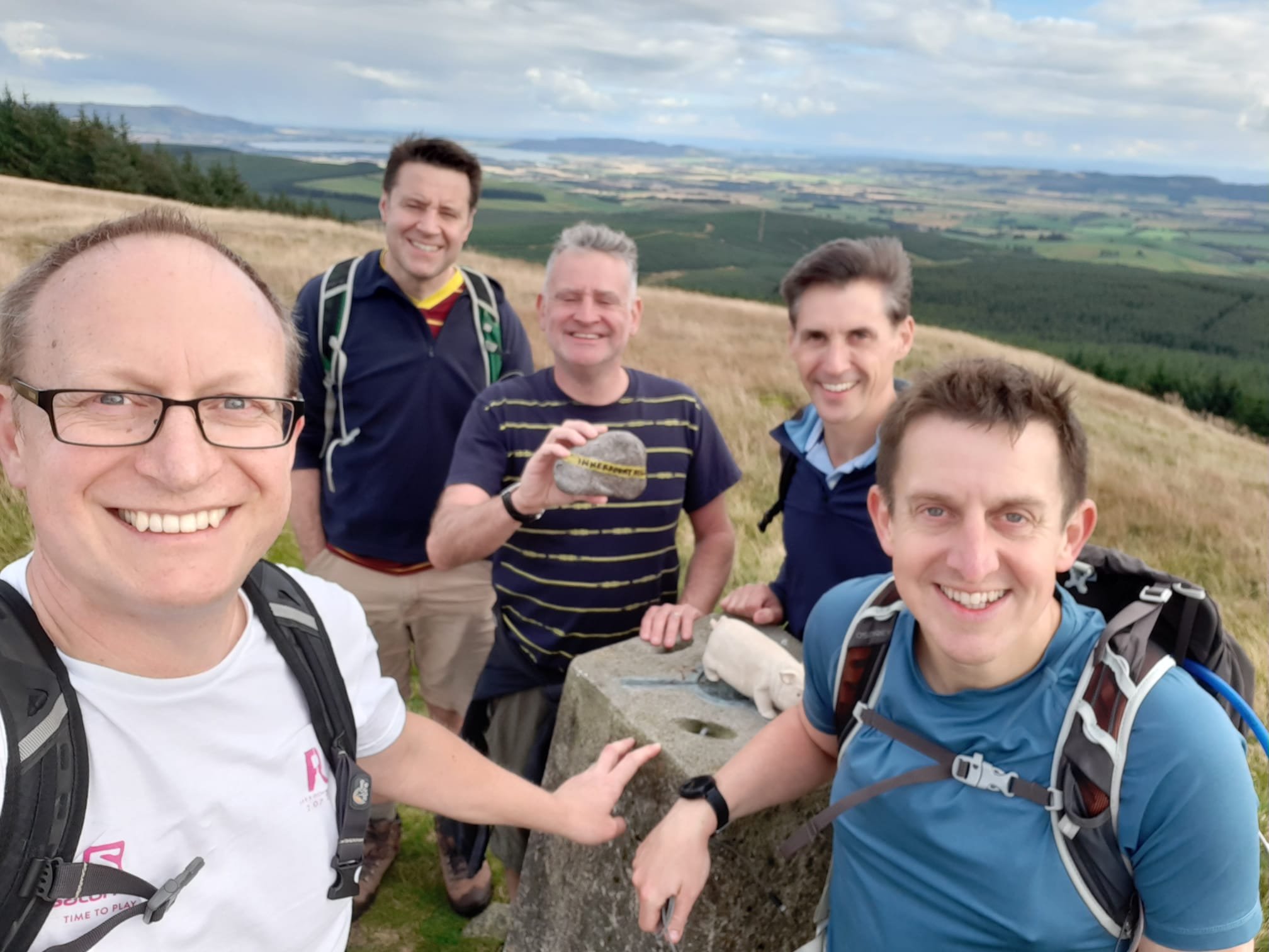
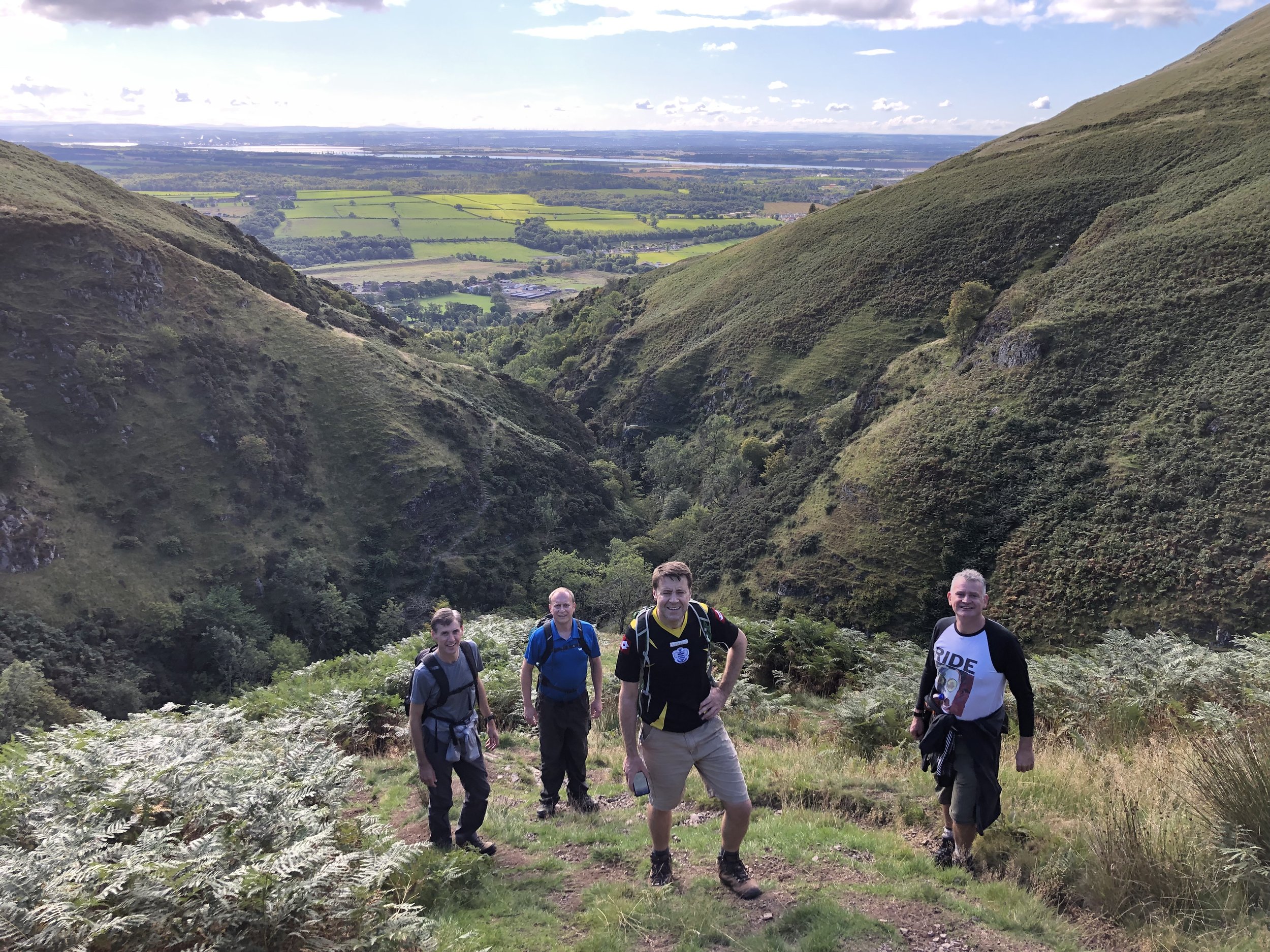
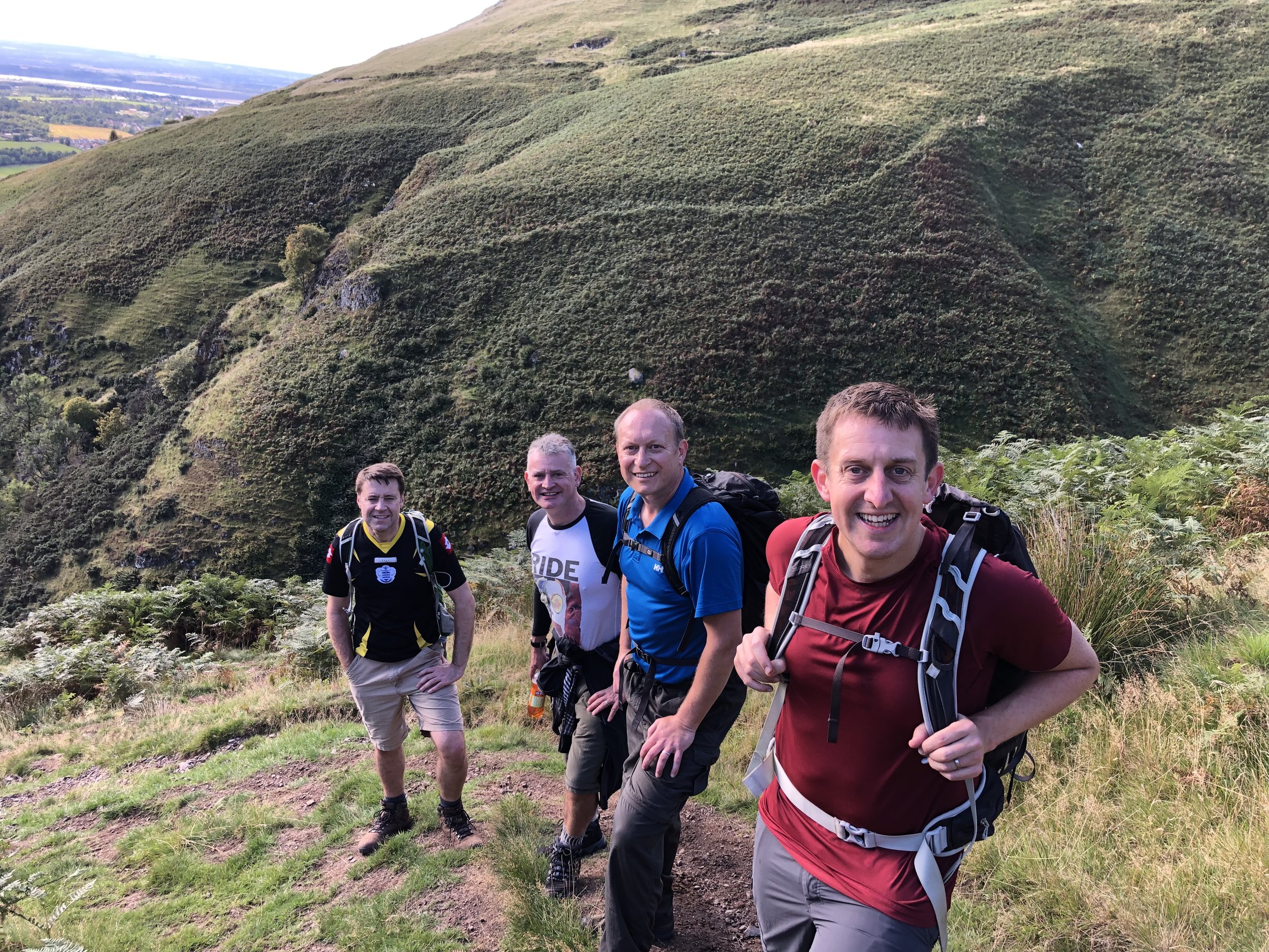
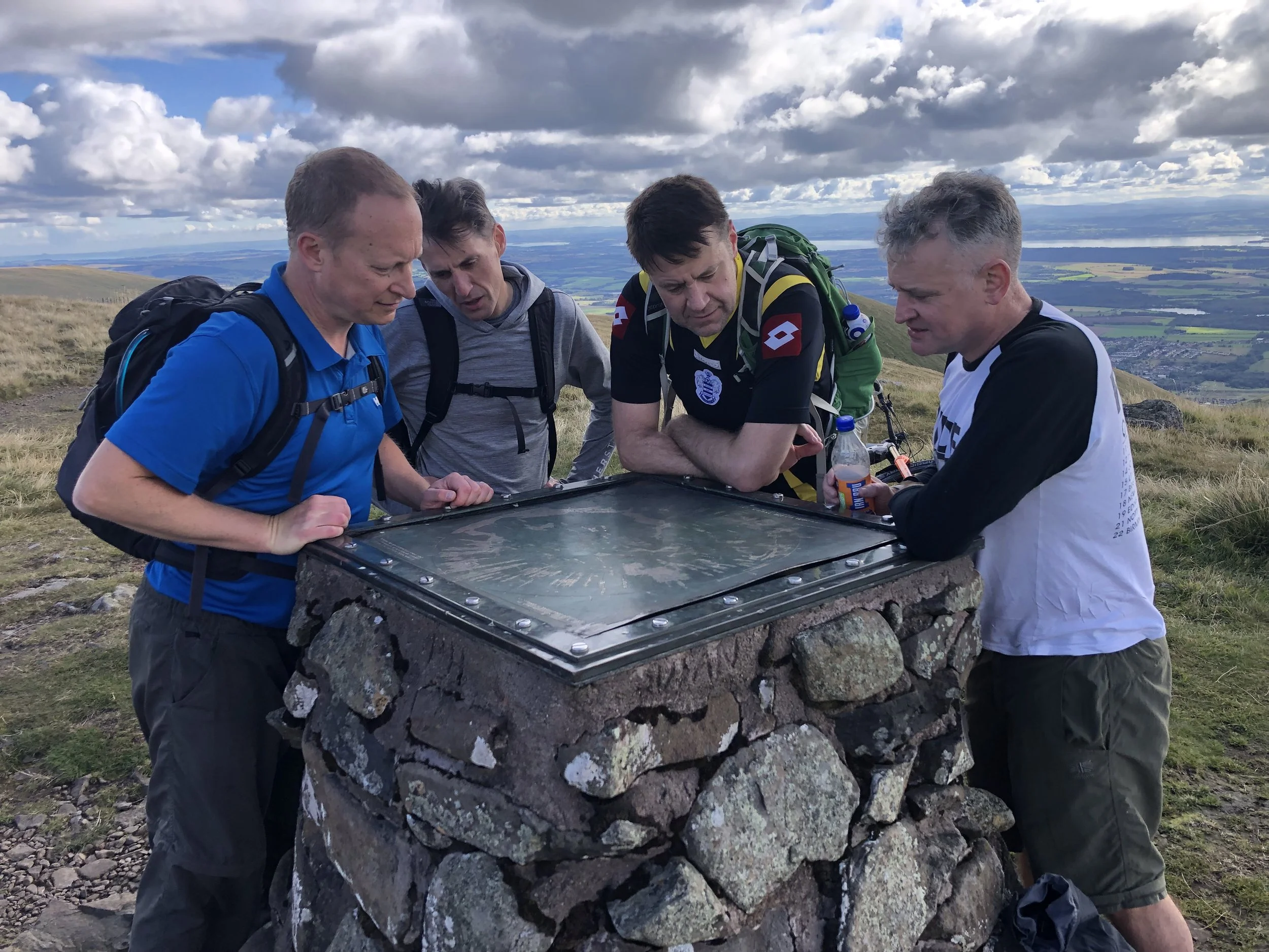
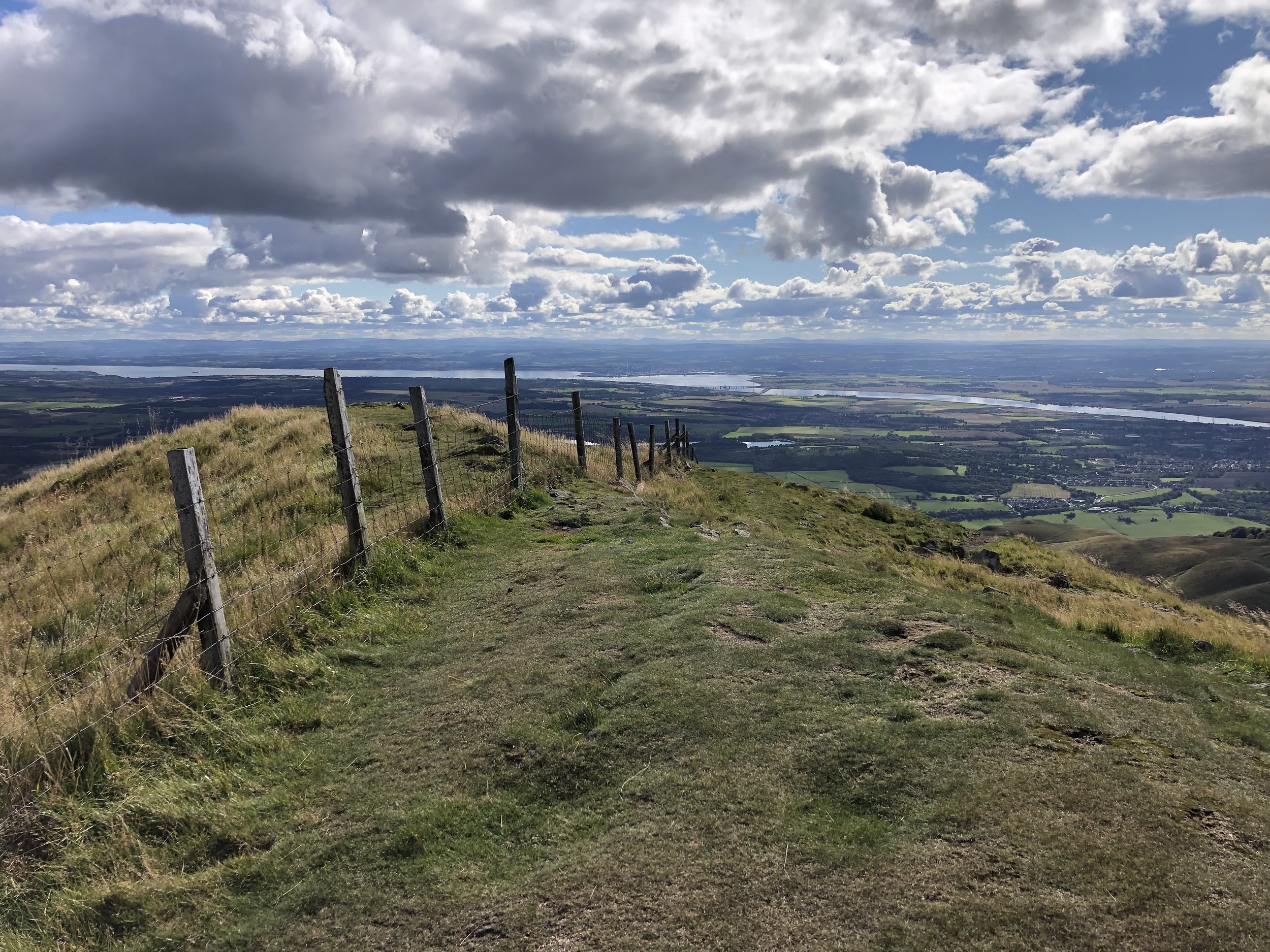
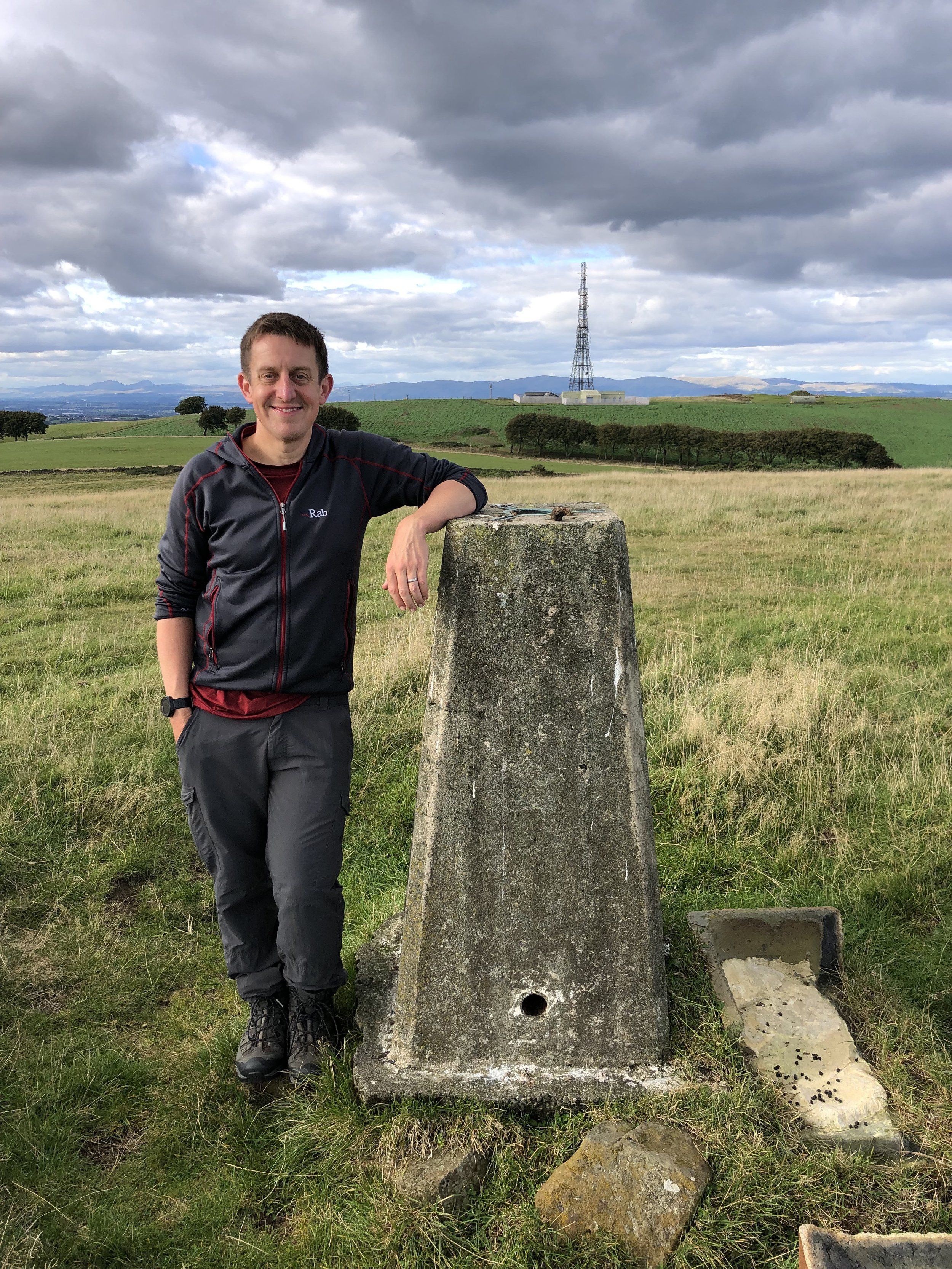
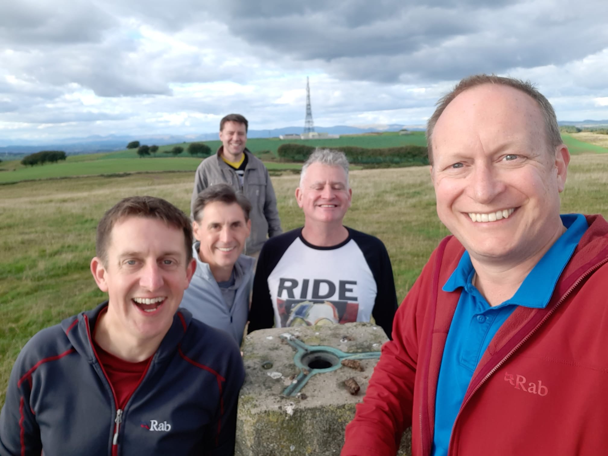
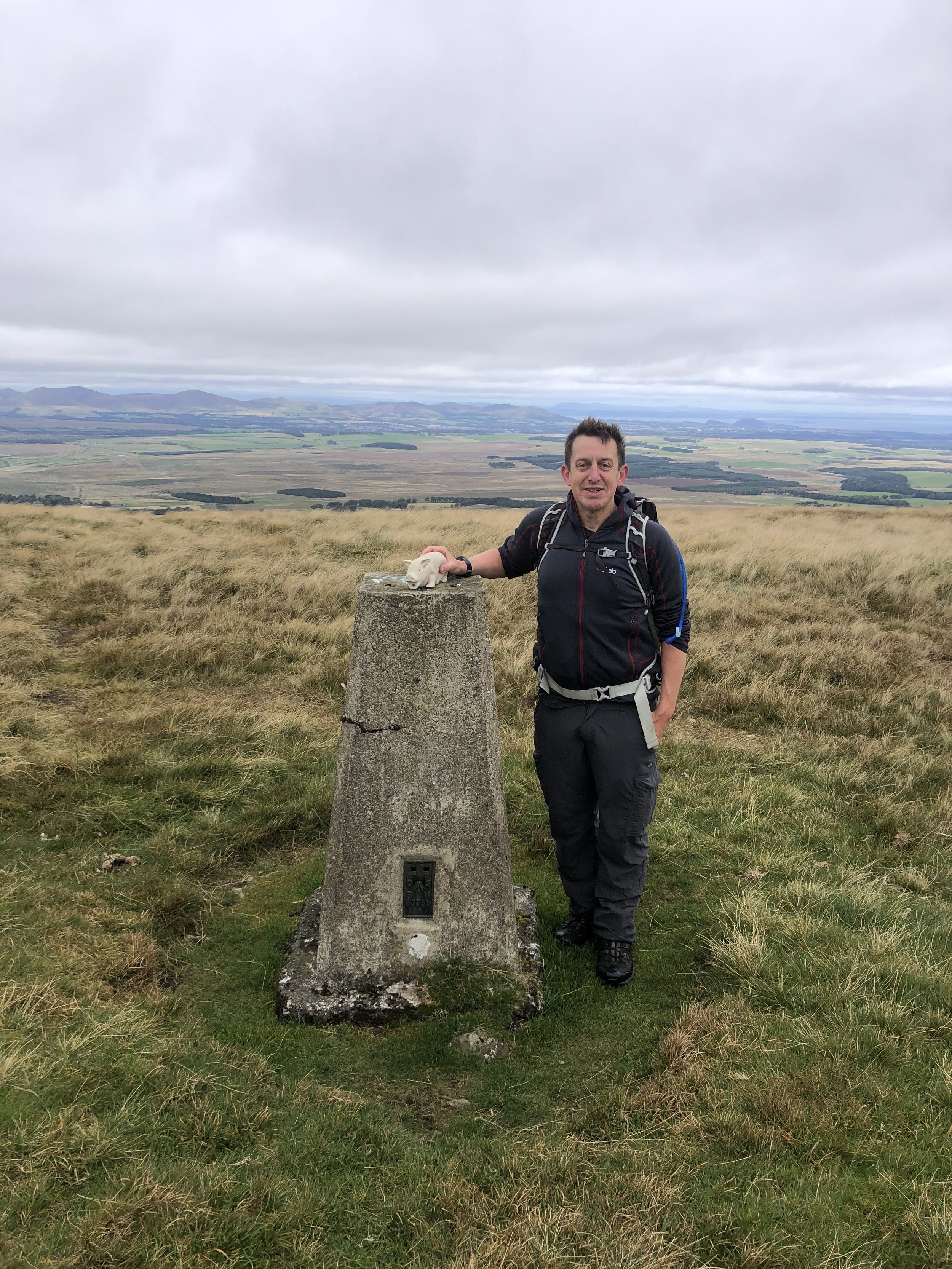
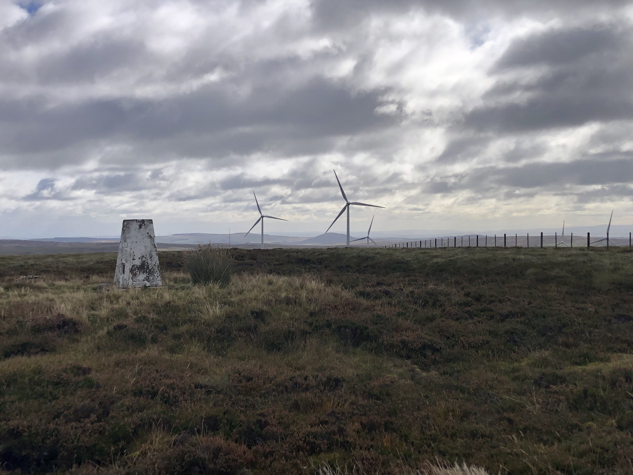
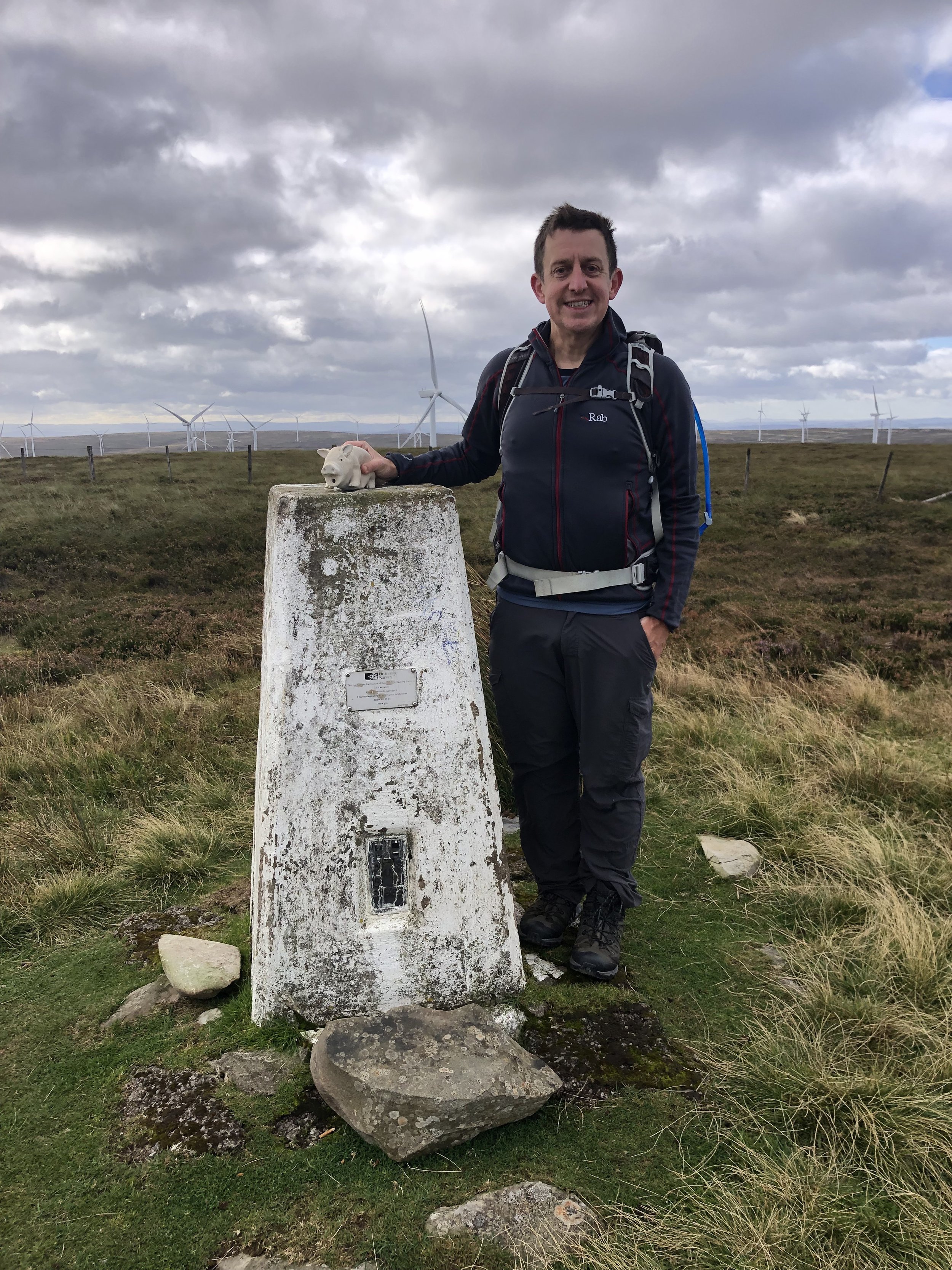
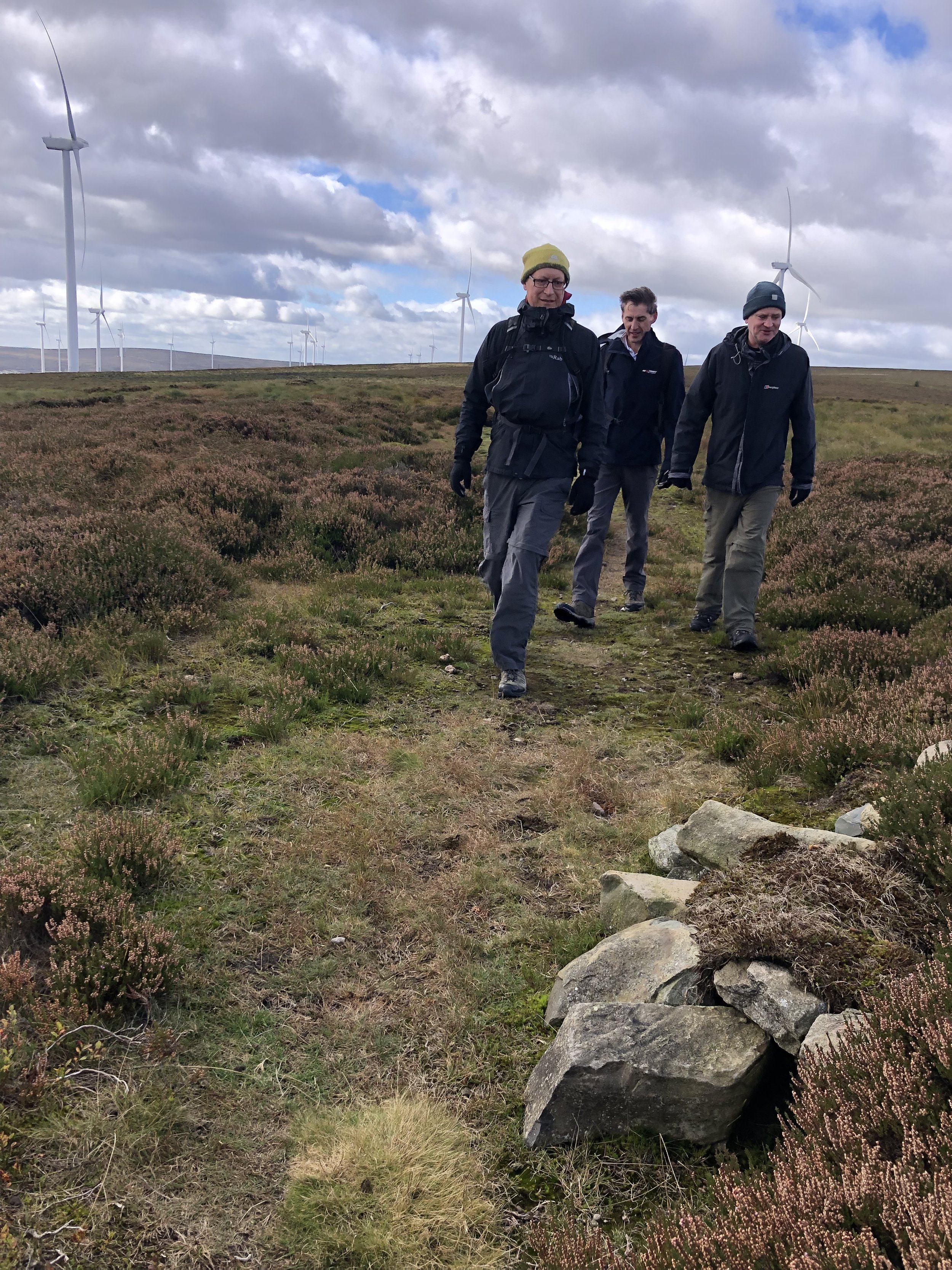
Innerdouny Hill
Significance: Highest peak in the Historic County of Kinross-shire.
Member of: Marilyn
Parent Peak: Ben Cleuch
Nearest Higher Neighour = Innerdownie
Elevation: 497m
Date climbed: 23rd September 2022
Coordinates: 56° 14' 55'' N, 3° 33' 48'' W
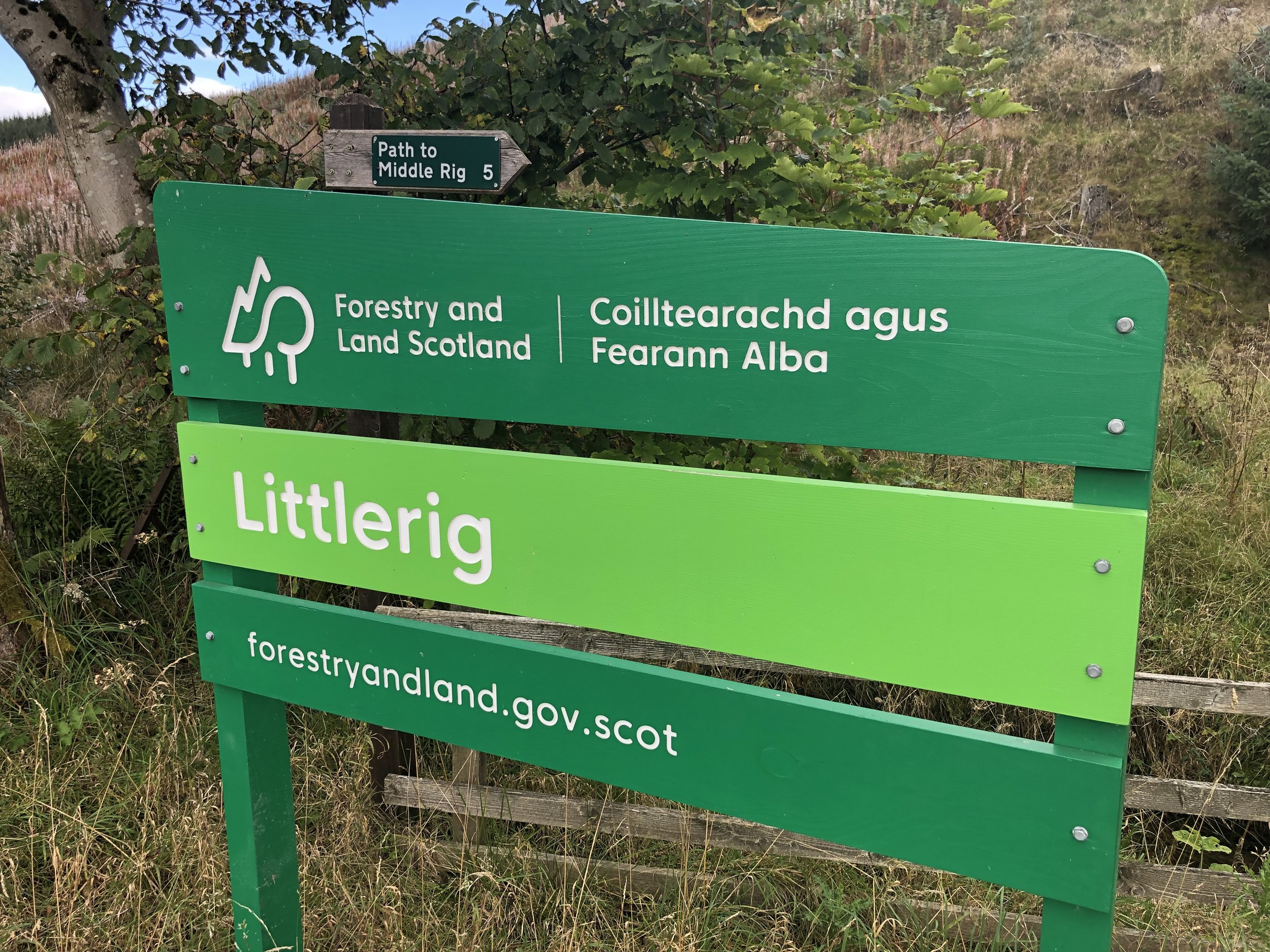
Route Start / End: Forestry Commission Car Park at Littlerig on B934
Route Distance: 9.2 km (5.7 miles)
Route Elevation Change: +/- 220m
Subsidiary tops on route: None
GPX File: get via Buy Me a Coffee
Other routes touched (walk): None
Other routes touched (cycle): None
OS Trig Pillar: TP4108 - Innerdouny Hill
Map: Perth & Kinross Map | Ochil Hills East & Loch Leven | Ordnance Survey | OS Explorer Active Map 369
Guidebook: The UK's County Tops (Jonny Muir)
Links: Wikipedia (Innerdouny Hill), Wikipedia (Kinross-shire), Peakbagger
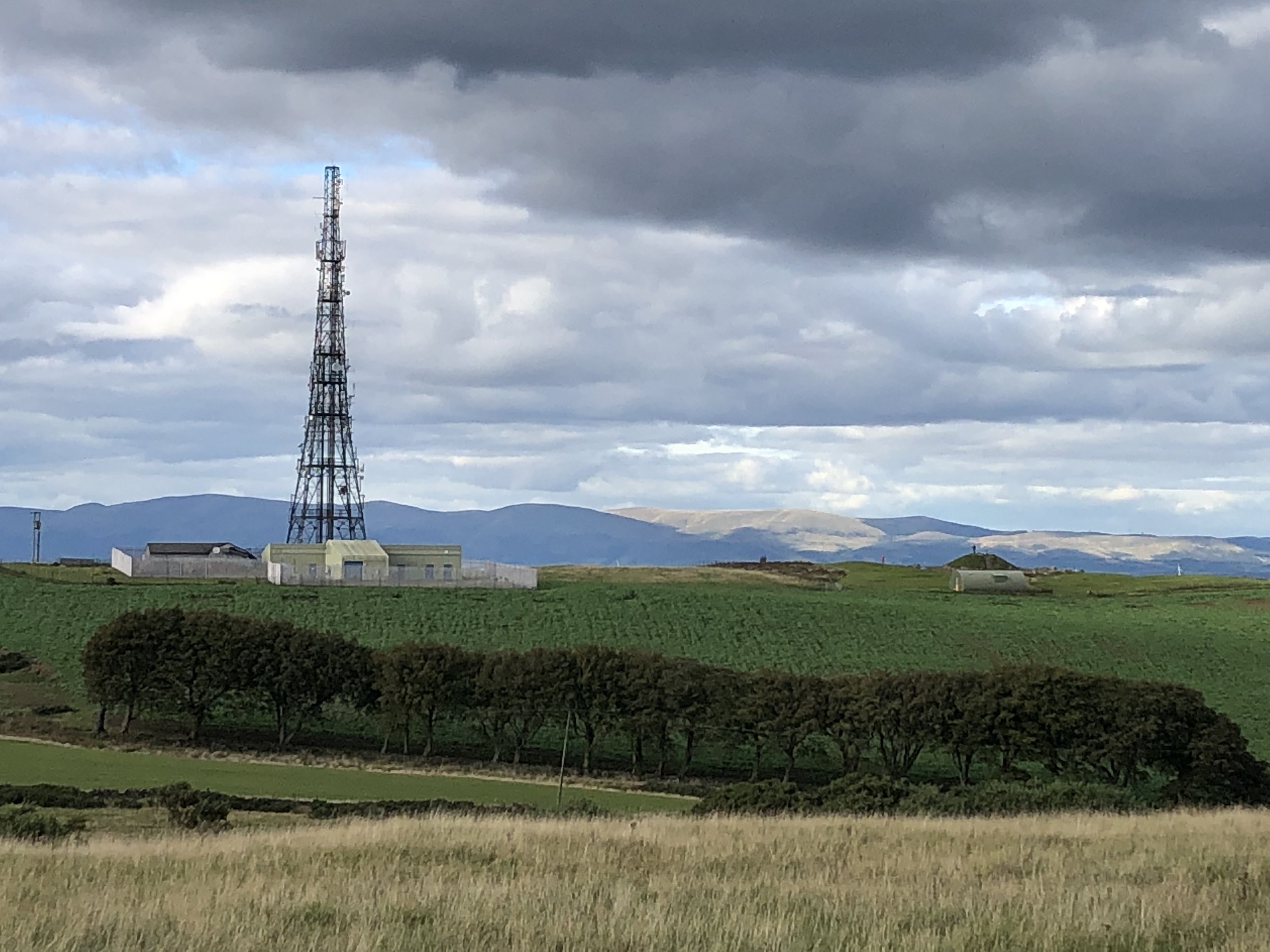
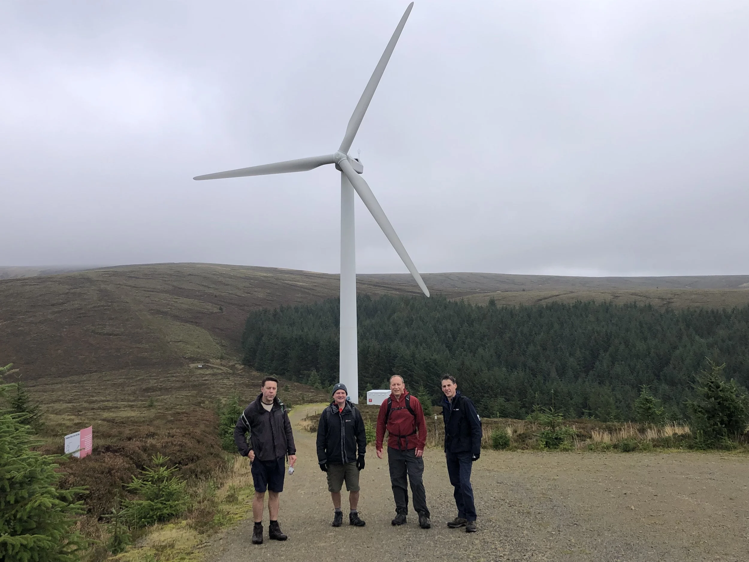
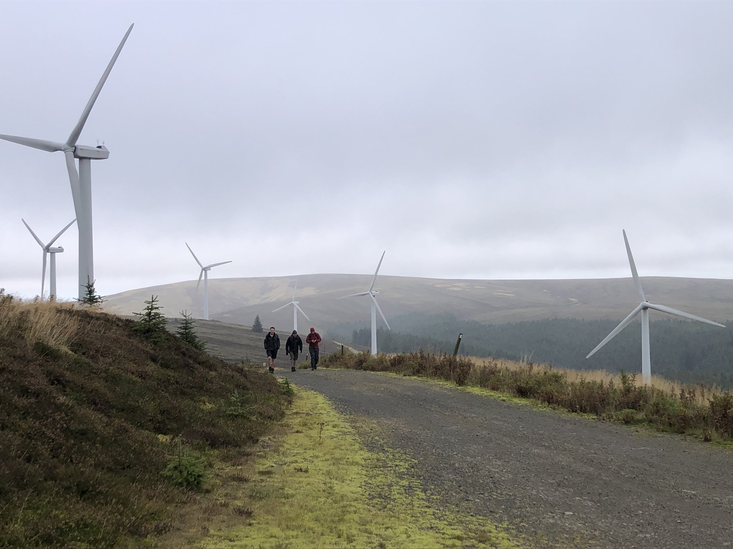
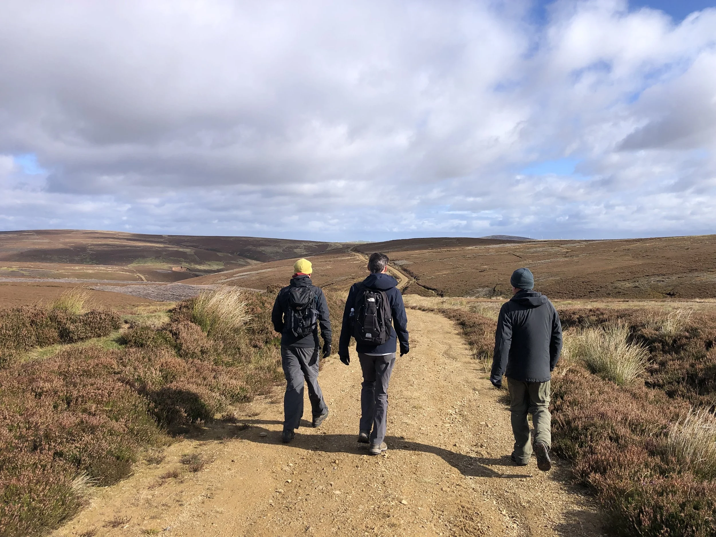
After West Lomond it’s a half an hour drive to the Littlerig Forestry Commission car park at the start of the walk to Innerdouny Hill. The car park didn’t come up on our sat-nav so we just headed north along the B934 looking out for it on the right. In the end it was easy to find and enough parking for several cars. Given the relative obscurity of the peak, it’s unlikely that you’ll be fighting for a parking spot here.
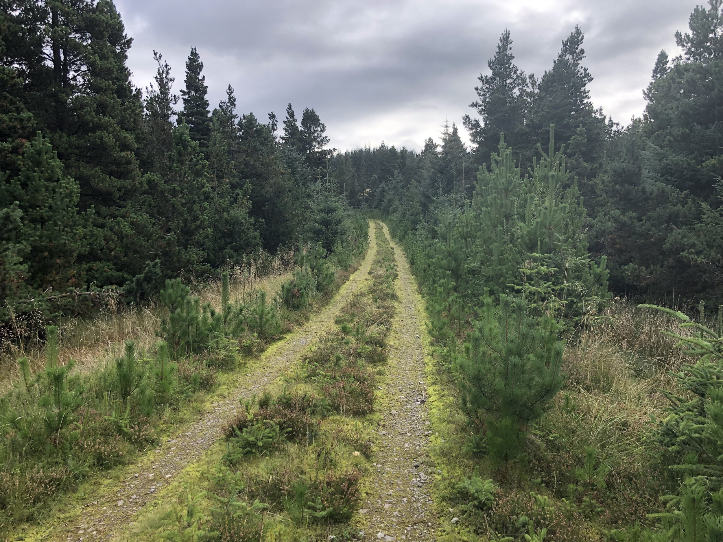
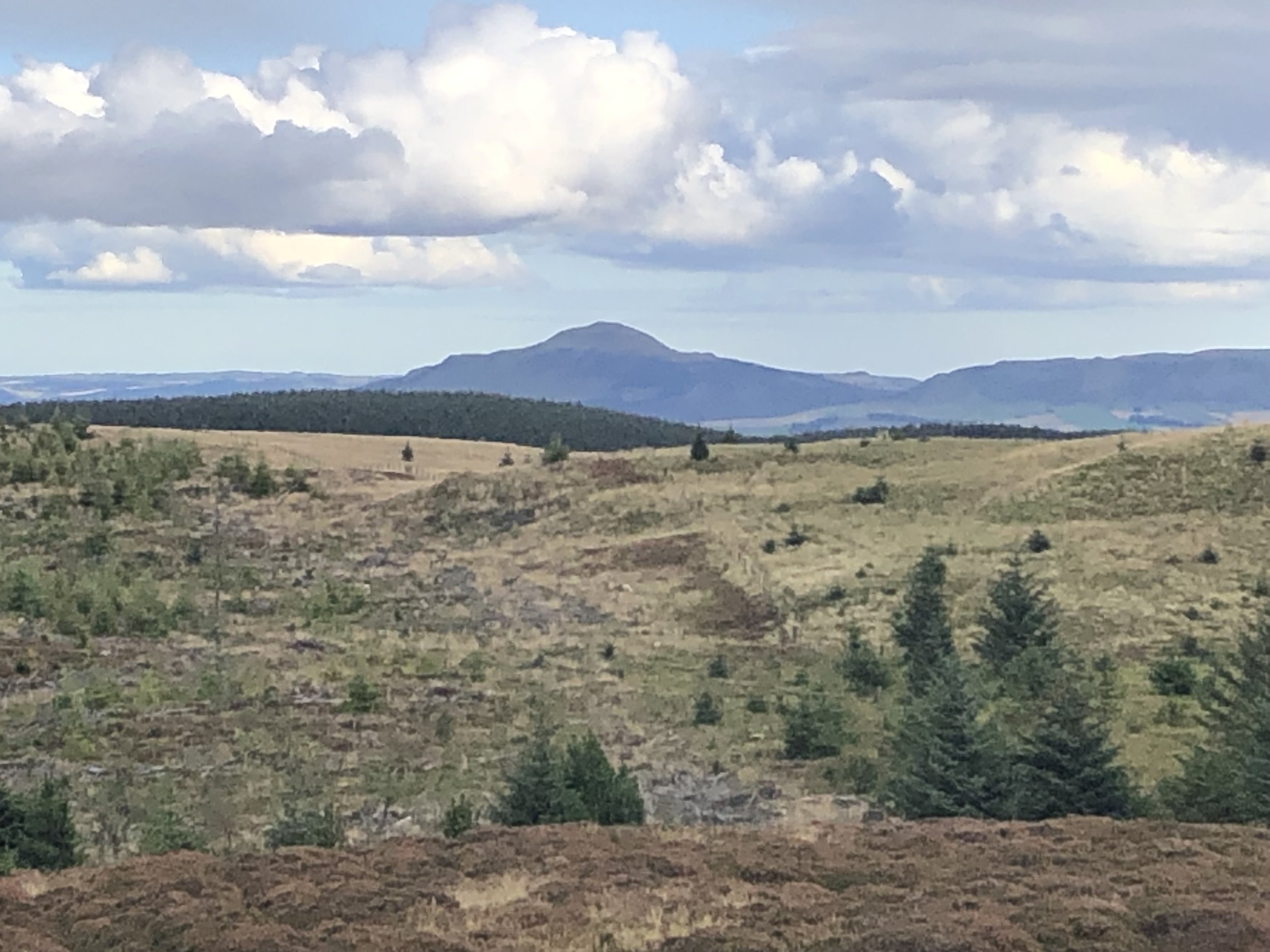
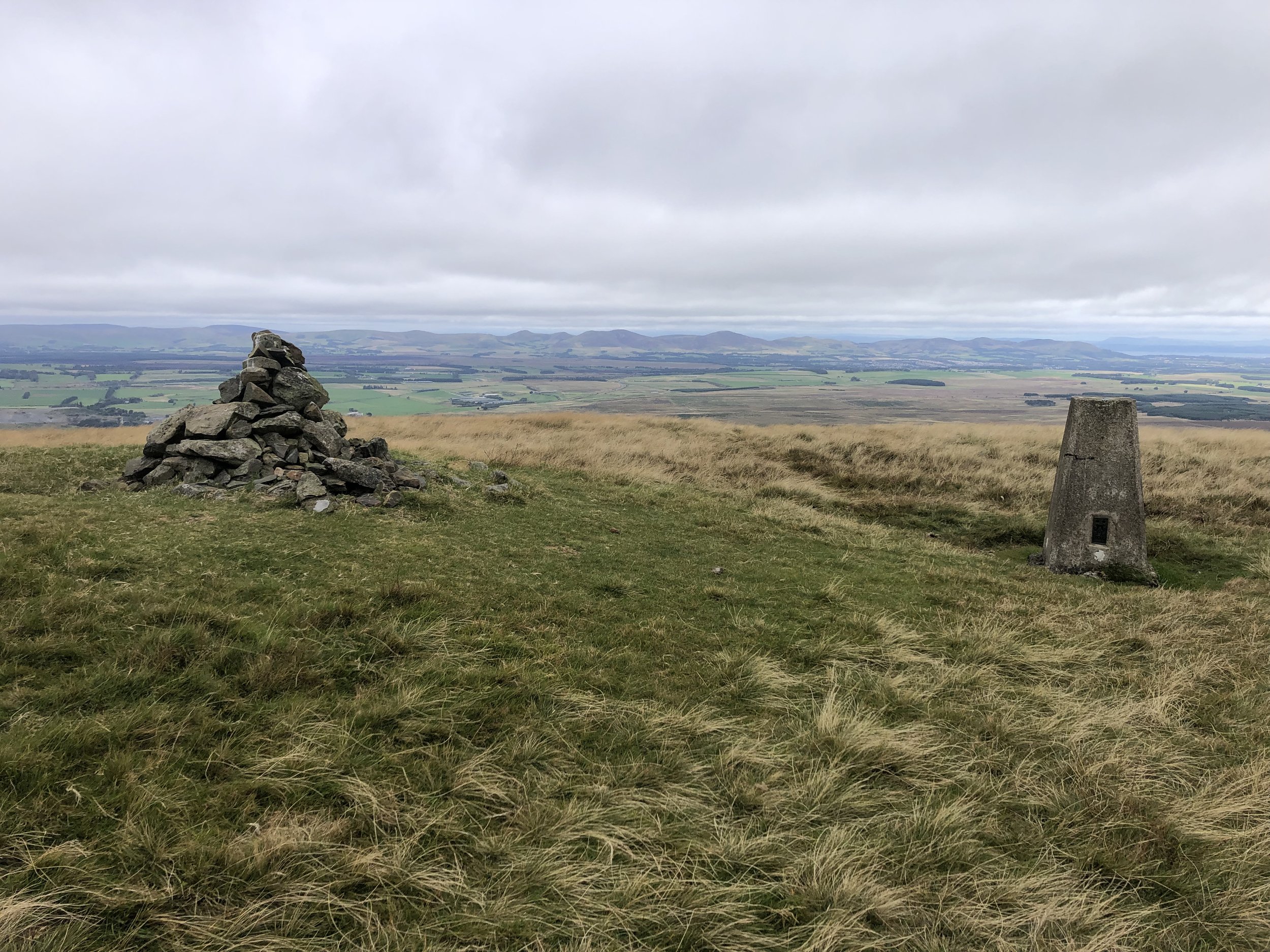
This is a longer walk than West Lomond but much less elevation. The first 3.9 km follows a wide Forestry Commission track before taking a right turn up a narrow path to the summit. We were there on a very clear day and got great views over the Firth of Forth and some of the other peaks of our trip.
As with West Lomond an out-and-back would have been the best plan. Instead we followed a clearing between a wooded area and a wall to try a more direct route down to the start of the track. It definitely made a more interesting route but in reality didn’t save much time or distance vs. retracing our steps from the summit.

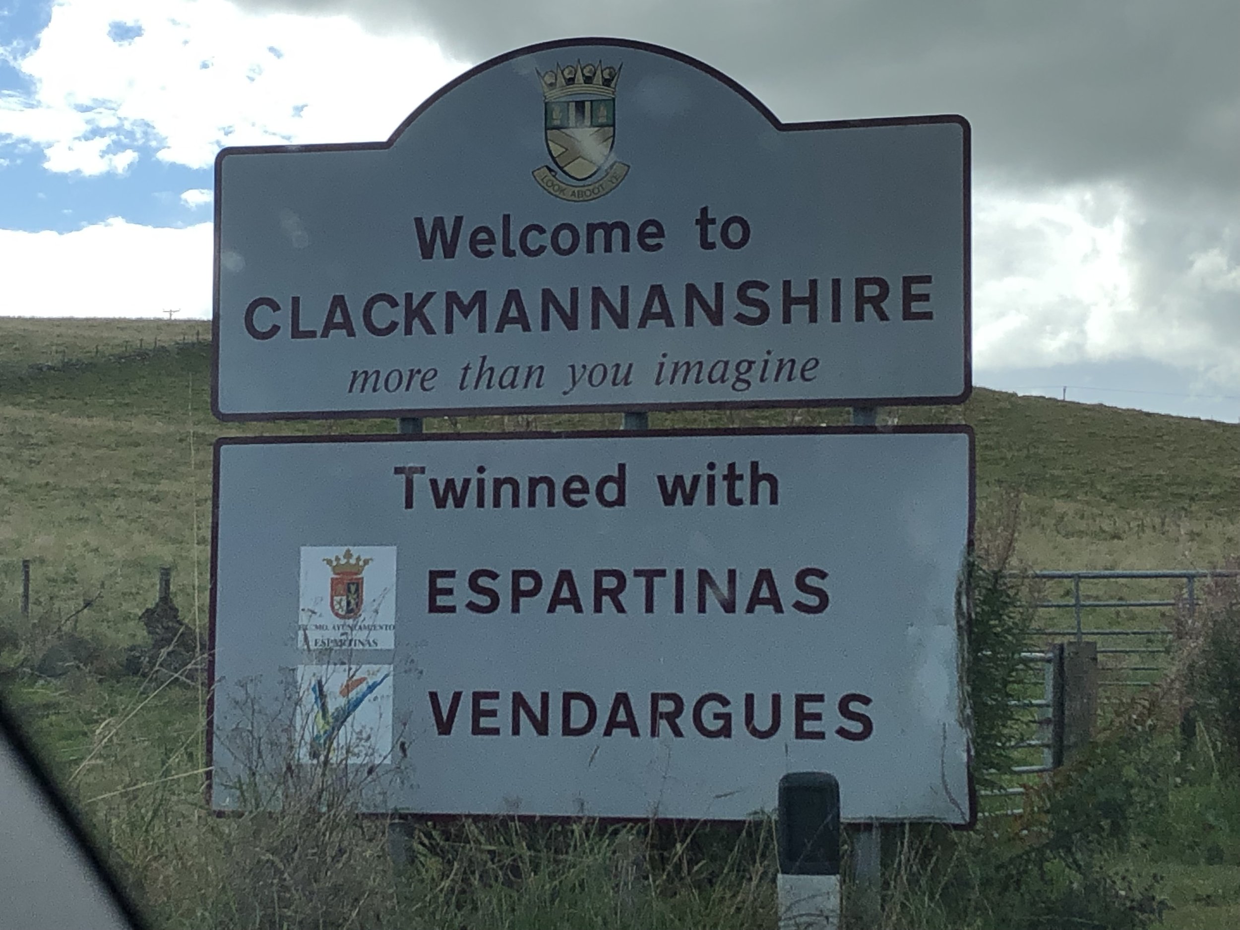

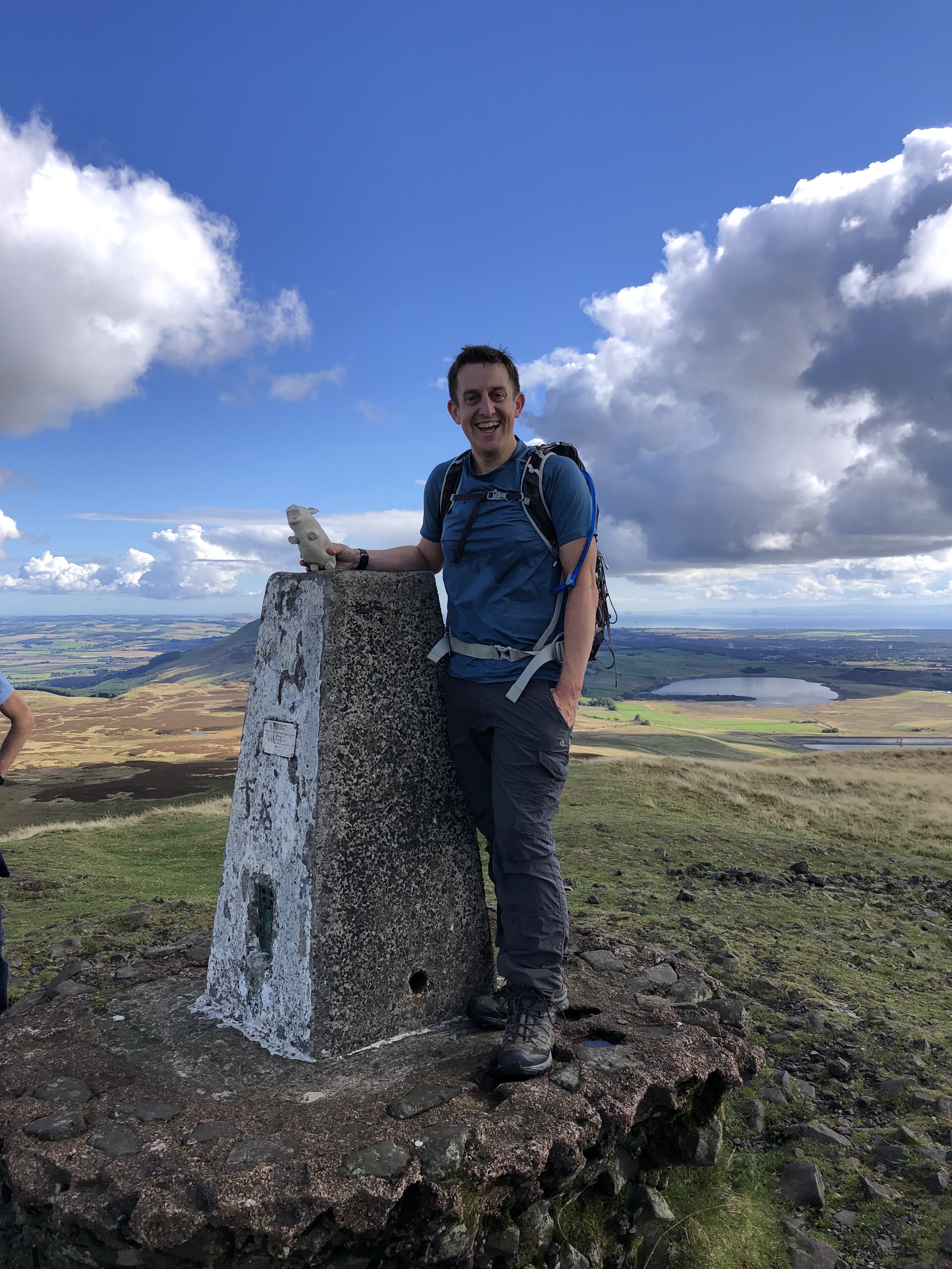
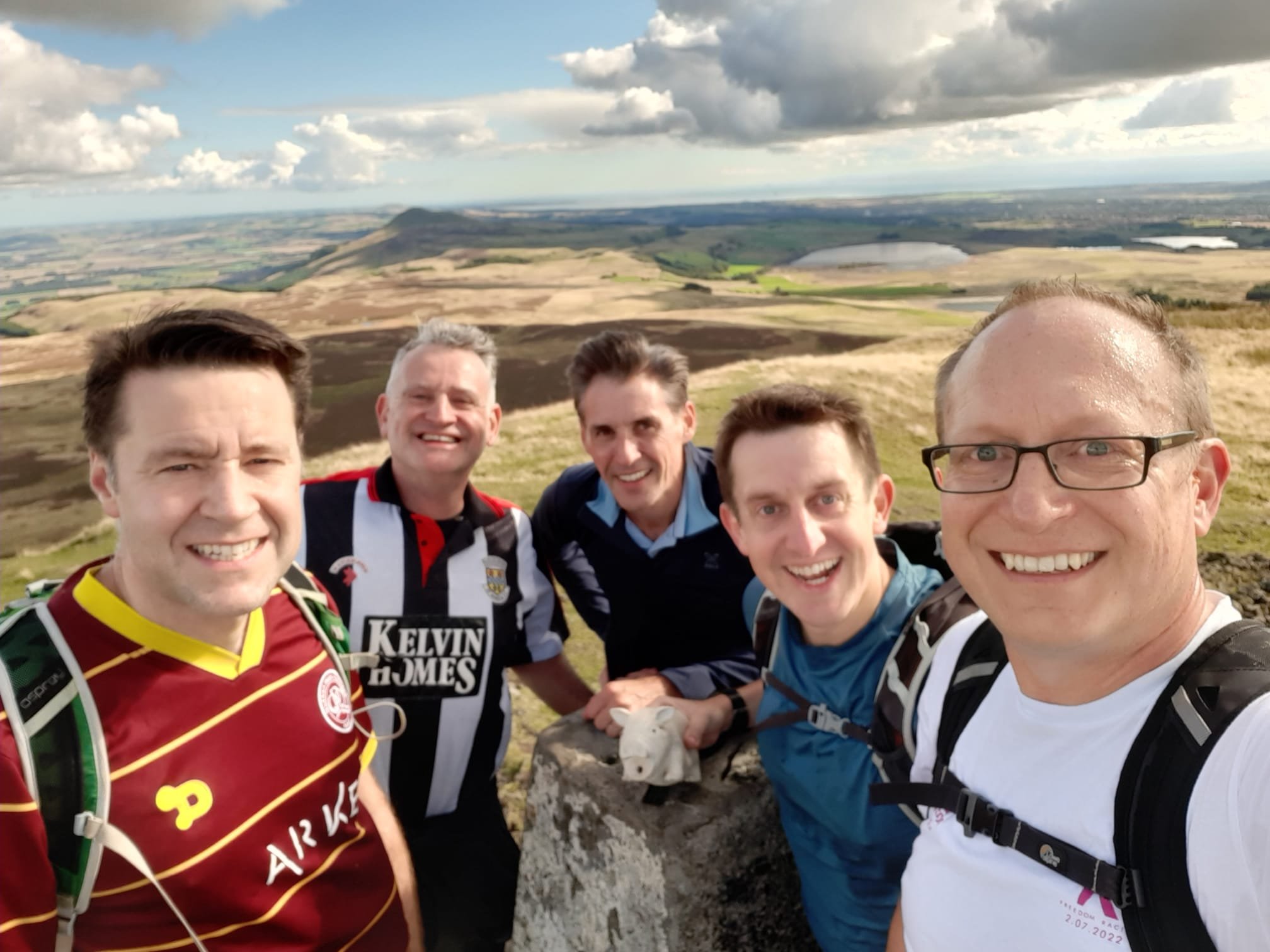
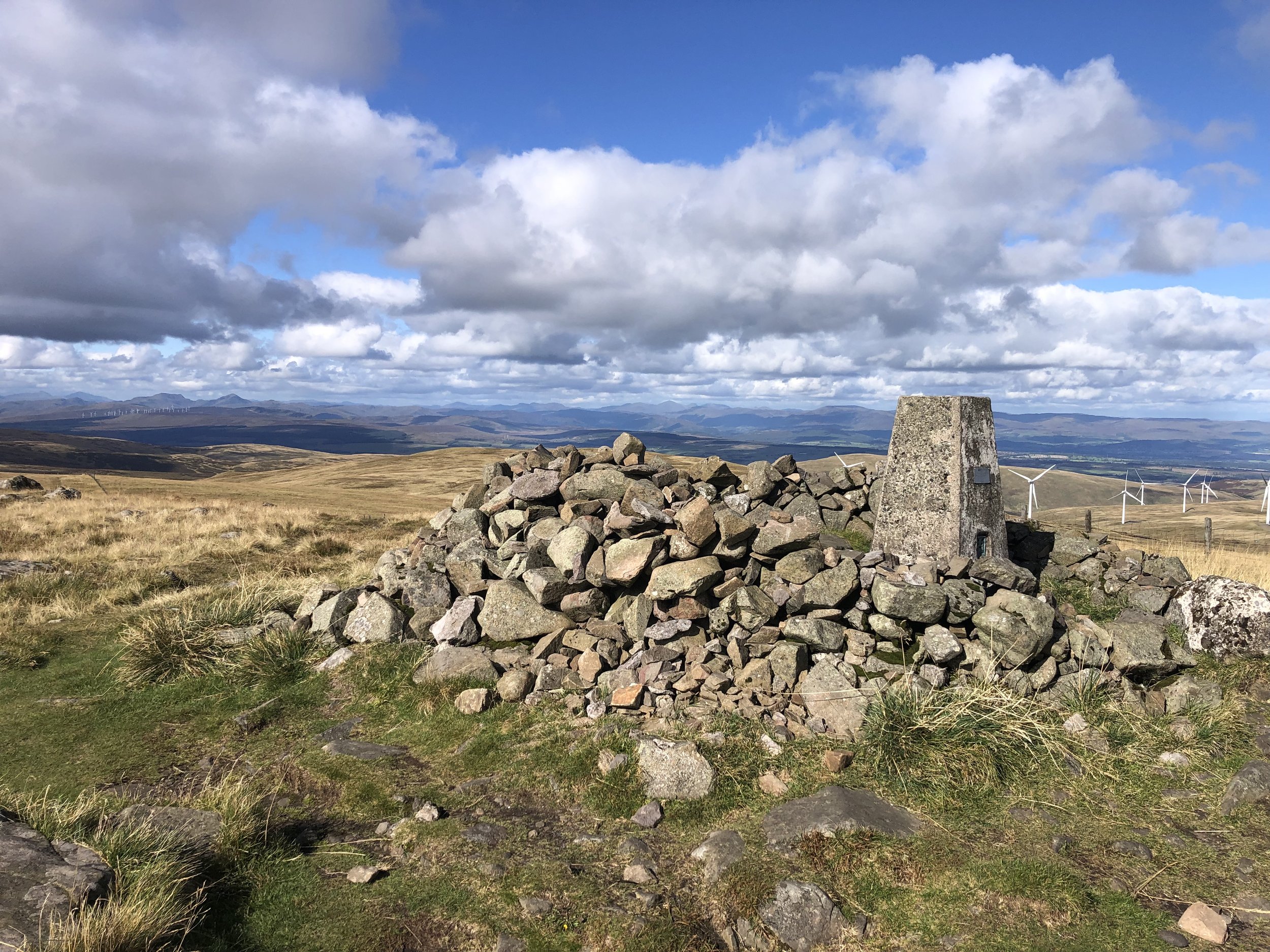
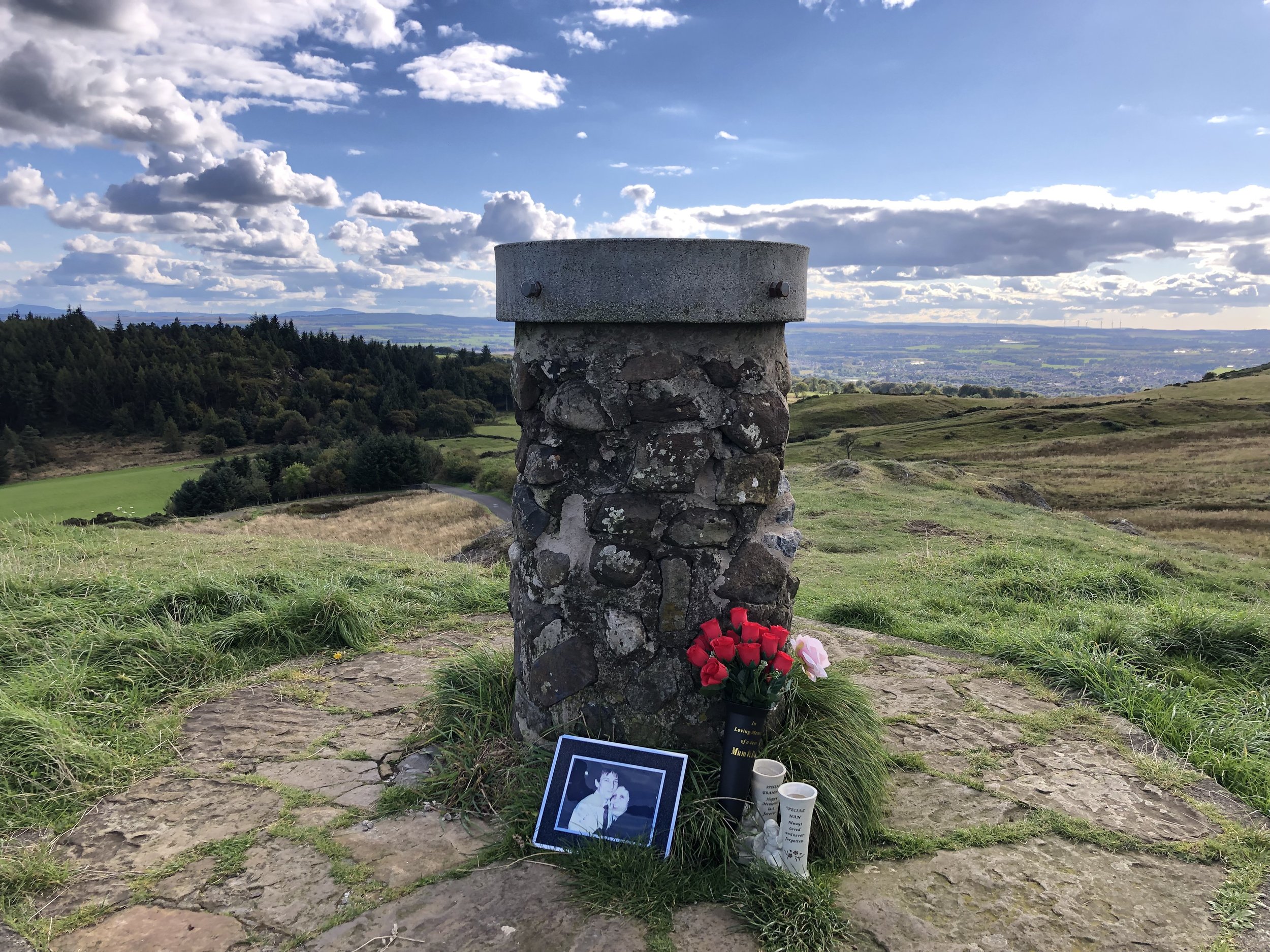
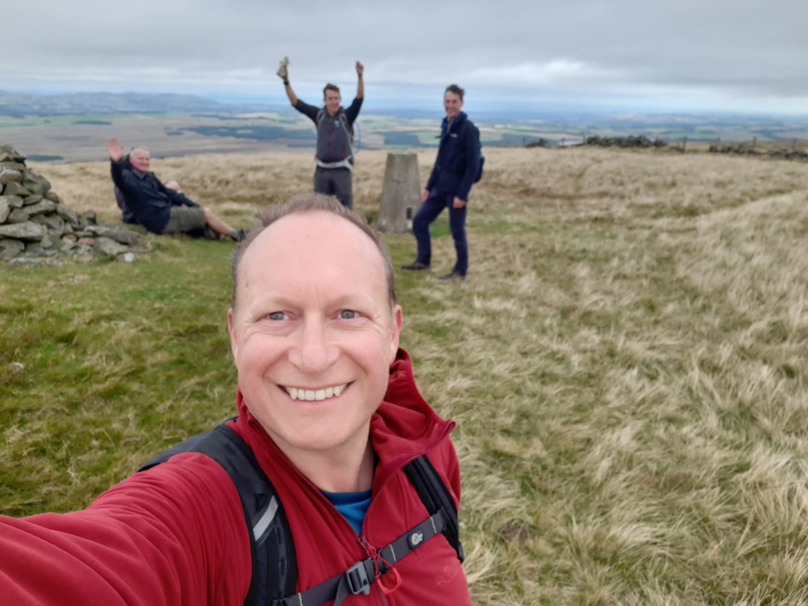
Ben Cleuch
Significance: Highest peak in the Historic County of Clackmannanshire.
Member of: Marilyn, Donald, Graham
Parent Peak: Ben Chonzie
Nearest Higher Neighour = Carn Chois
Elevation: 721m
Date climbed: 24th September 2022
Coordinates: 56° 11' 8'' N, 3° 46' 10'' W
Route Start / End: Free on-street parking at Upper Mill Street, Tillicoultry, FK13 6AX
Route Distance: 7.9 km (4.9 miles)
Route Elevation Change: +/- 650m
Subsidiary tops on route: The Law (638m)
GPX File: get via Buy Me a Coffee
Other routes touched (walk): None
Other routes touched (cycle): None
OS Trig Pillar: TP0672 - Ben Cleugh
Map: Stirling & Ochil Hills West Map | Alloa & Dunblane | Ordnance Survey | OS Explorer Map 366
Guidebook: The UK's County Tops (Jonny Muir)
Links: Wikipedia (Ben Cleuch), Wikipedia (Clackmannanshire), Peakbagger
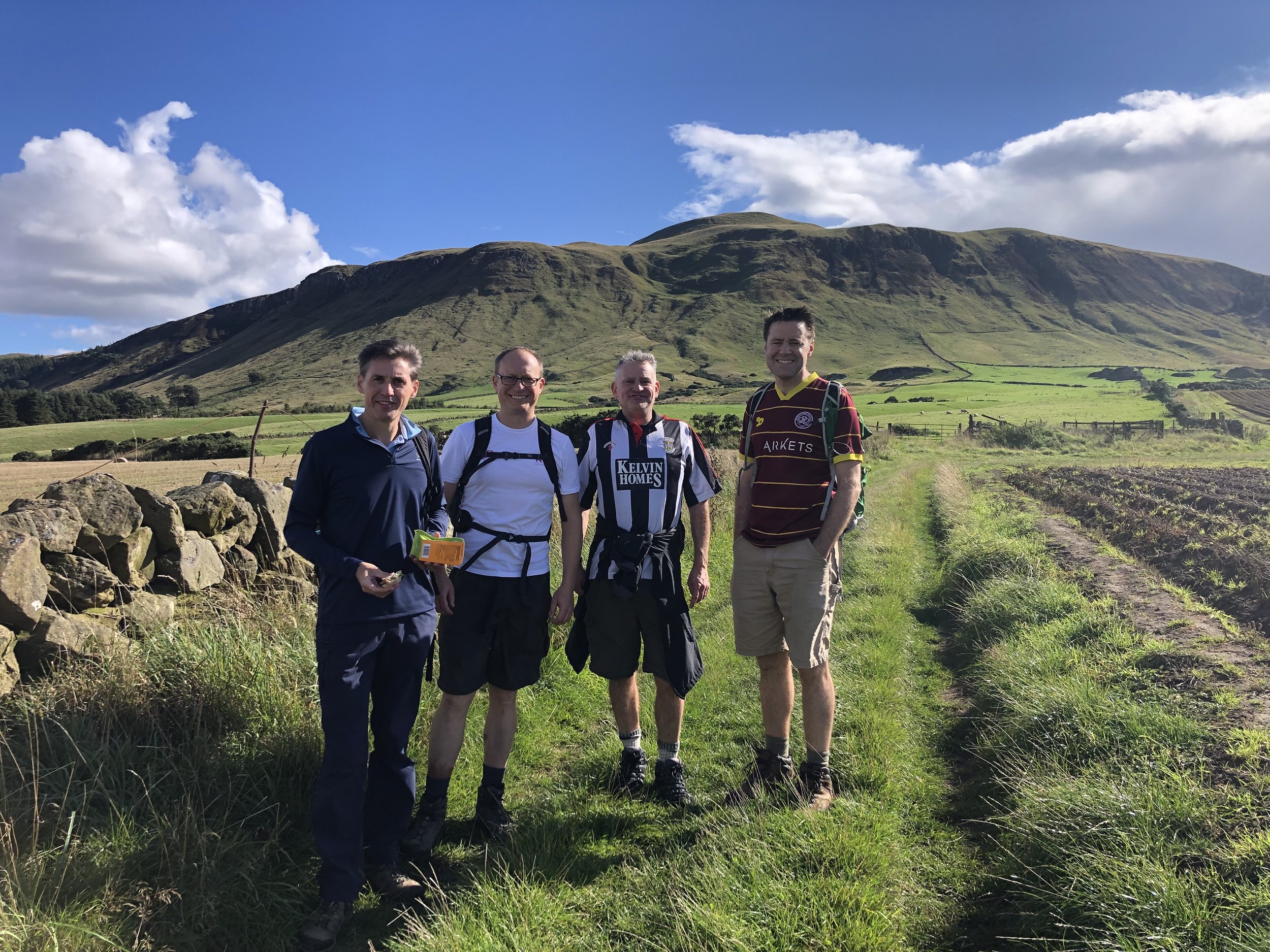
Day 2 started with the University of Stirling parkrun, right next to the hotel where we were staying. Stirling is a good option for an overnight stay on the trip and our hotel, part of the University campus, worked out well.
From Stirling it was less than a 30 minute drive to the start of the walk to Ben Cleuch. This was a shorter distance than the previous 2 walks but much higher elevation. Navigation is straightforward as there’s a very well-trodden path to the summit.
Learning from Day 1 we stuck to the out-and-back plan and didn’t attempt a creative alternative route back to the car. The Woolpack Inn, close to the start point, is a good place for a pint and a rest before heading to the Lothians.


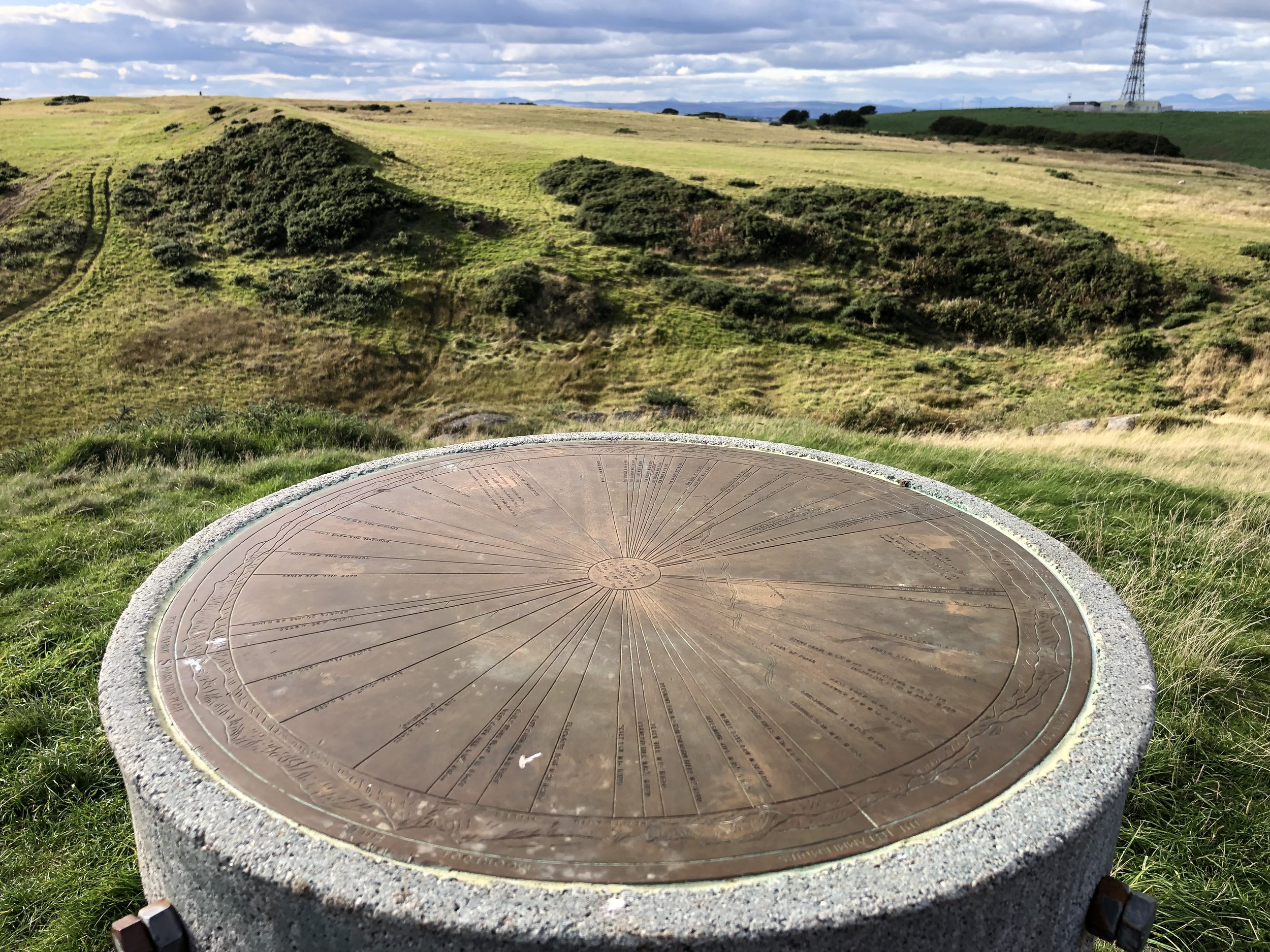
Cairnpapple Hill
Significance: Highest peak in the Historic County of West Lothian.
Member of: Marilyn
Parent Peak: West Cairn Hill
Nearest Higher Neighour = West Cairn HIll
Elevation: 312m
Date climbed: 24th September 2022
Coordinates: 55° 55' 22'' N, 3° 37' 18'' W
Route Start / End: Cairnpapple Hill parking, 2km from Torphichen, Bathgate, EH48 4LD
Route Distance: 650 km (0.4 miles)
Route Elevation Change: +/- 14m
Subsidiary tops on route: None
GPX File: get via Buy Me a Coffee
Other routes touched (walk): None
Other routes touched (cycle): None
Map: Falkirk, Cumbernauld & Livingston Map | Linlithgow, Bathgate & Kilsyth | Ordnance Survey | OS Explorer Map 349
Guidebook: The UK's County Tops (Jonny Muir)
Links: Wikipedia (Cairnpapple Hill), Wikipedia (West Lothian), Peakbagger
Our original plan for Cairnpapple was to follow the short circular route in Jonny Muir’s guidebook. We parked at the small Cairnpapple parking area and took the well-marked south-westerly path to the burial mound. Cairnpapple is commonly regarded as the highest point in West Lothian although the Ballencreif Hill Trig Pillar to the south is higher. Jonny Muir’s guide has the walk continuing in a straight line south from the burial ground to the Trig. Some boundary work must have been done in the meantime as we found a new fence in the way and no obvious means to walk straight to the Trig. Note that Historic Scotland charges an entry fee to the burial ground, although it’s easy to avoid it as the ticket office is not on the gate.


Separate walk to The Knook and the Trig Pillar:
Route Start / End: Top Point Parking, Unnamed Road (south of Cairnpapple Hill), Bathgate, EH48
Route Distance: 1.1 km (0.7 miles)
Route Elevation Change: +/- 16m
OS Trig Pillar: TP0991 - Ballencrieff Hill
Links: Peakbagger (Knock)
To access the Trig Pillar we returned to the car and drove south down the minor road to a layby near the gate to the field containing the Trig Pillar. Alternative parking can be found on the south side of Knock Hill, another contender for West Lothian’s high point. After climbing to the toposcope on Knock Hill we cross the field to bag the Trig Pillar.


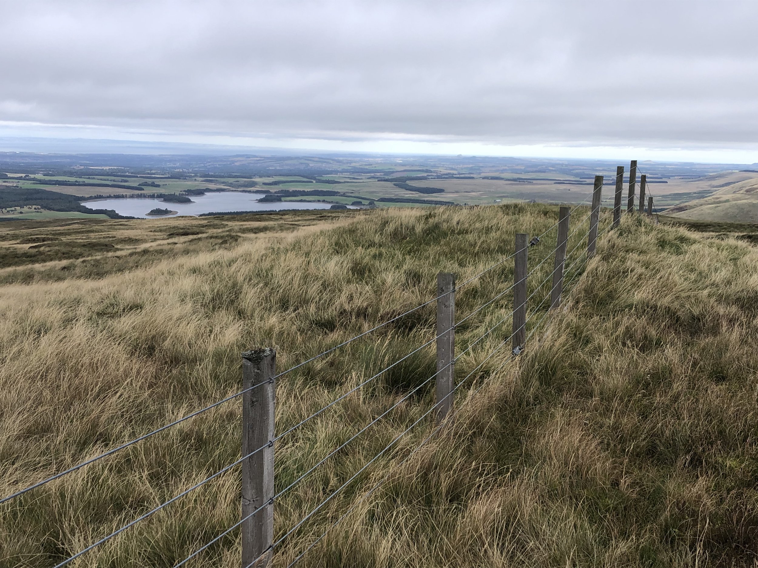
Blackhope Scar
Significance: Highest peak in the Historic County of Midlothian.
Member of: Marilyn, Donald, Graham
Parent Peak: Windlestraw Law
Nearest Higher Neighour = Windlestraw Law
Elevation: 651m
Date climbed: 25th September 2022
Coordinates: 55° 43' 25'' N, 3° 5' 31'' W
Route Start / End: Small parking area on southern end of Gladhouse Reservoir
Route Distance: 17.7 km (11 miles)
Route Elevation Change: +/- 518m
Subsidiary tops on route: The Kips (542m), Bowbeat Hill (636m), Bowbeat Rig (585), Dundreich (623m)
GPX File: get via Buy Me a Coffee
Other routes touched (walk): None
Other routes touched (cycle): None
OS Trig Pillar: TP1448 - Blackhope Scar and
Map: TP1448 - Blackhope Scar and TP2914 - Dundreich
Guidebook: The UK's County Tops (Jonny Muir)
Links: Wikipedia (Blackhope Scar), Wikipedia (Midlothian), Peakbagger
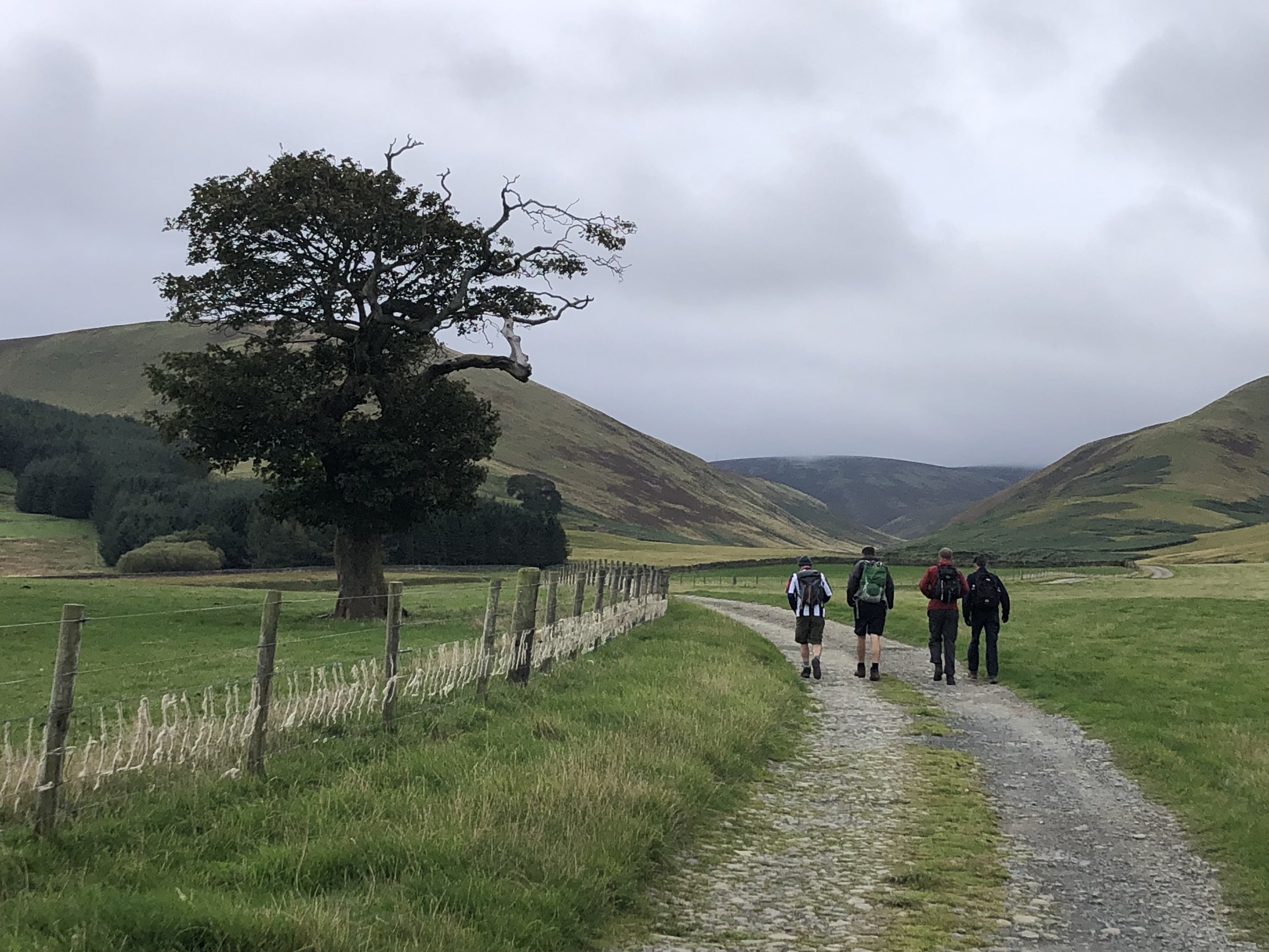
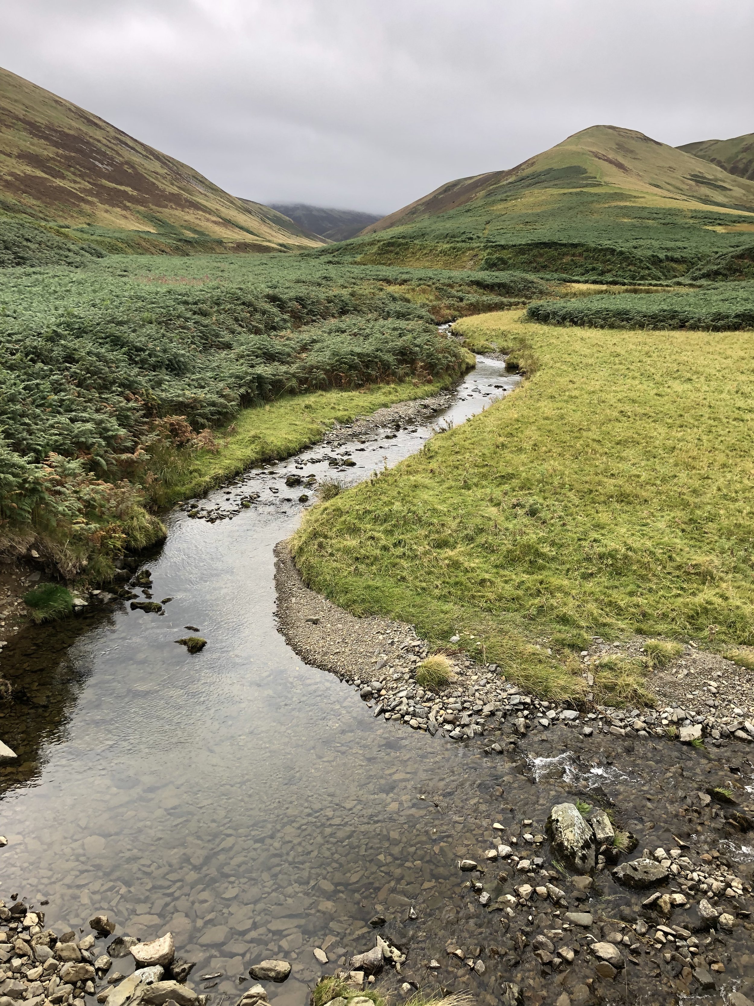
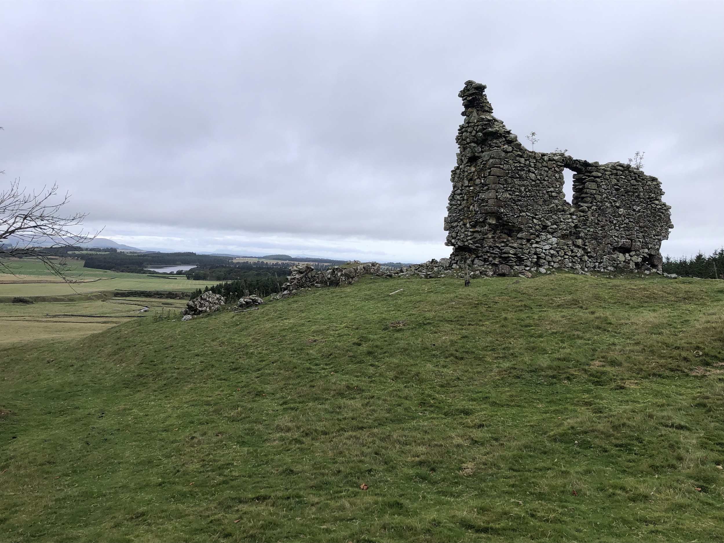
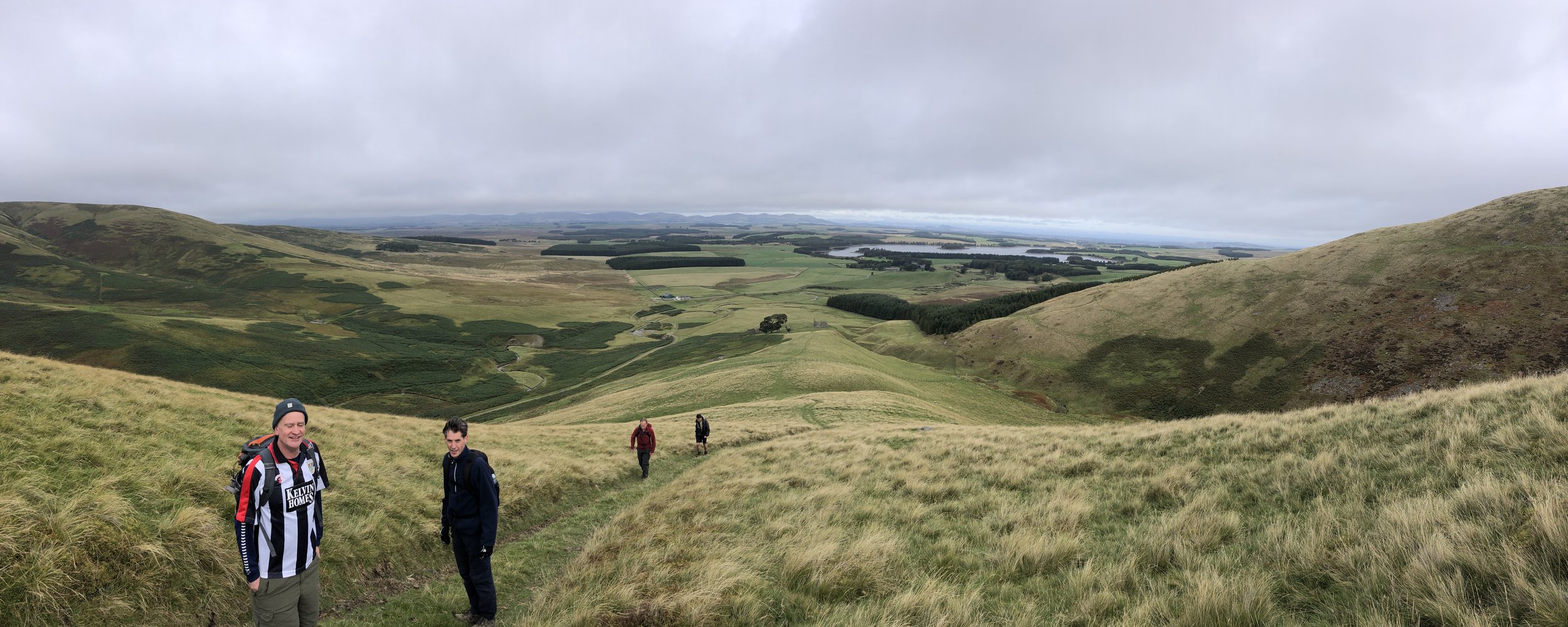
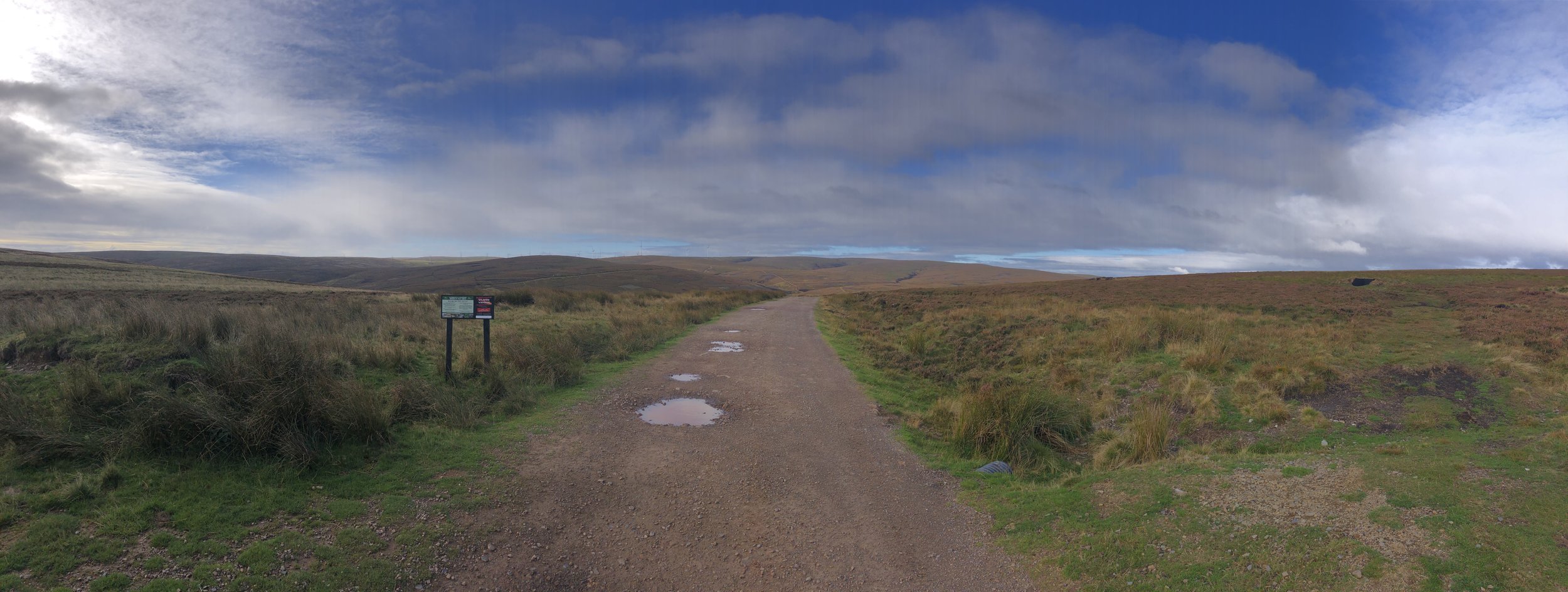
Blackhope Scar was the longest and most interesting of the weekend’s peaks. The small parking area on the southern edge of Gladhouse Reservoir is the best, and realistically only, place to start the walk. The first 2 km is fairly flat as the route follows the private road through a farm and up to the ruins of Hirendean Castle. After the ruins the route ascends in a south-westerly direction to the summit. I had read that the route is very boggy and was preparing for a Meikle Fell style swamp. As we were there following a particularly dry summer the ground was solid and much easier than expected.
Jonny Muir’s guidebook shows the route as an out-and-back to the summit but there’s a more interesting circular route. See this post on Walk Highlights and this video on YouTube for good detailed descriptions on the full circular. As well as being more interesting as a circular, you’ll bag an extra Trig Pillar and a couple of extra summits.


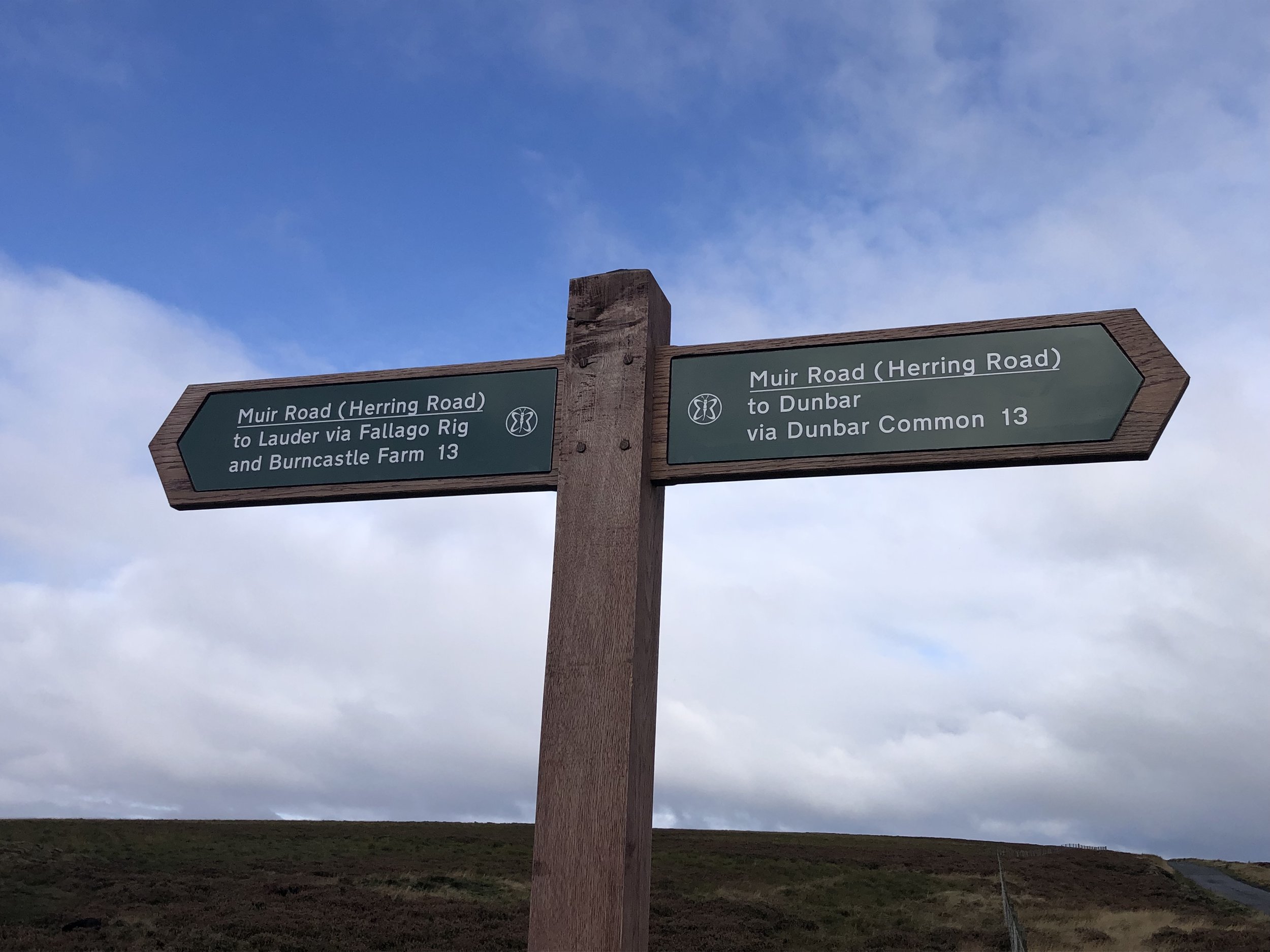
Meikle Says Law
Significance: Highest peak in the Historic County of East Lothian (formerly known as Haddingtonshire).
Member of: Marilyn
Parent Peak: Windlestraw Law
Nearest Higher Neighour = Windlestraw Law
Elevation: 535m
Coordinates: 55° 50' 49'' N, 2° 40' 13'' W
OS Trig Pillar: TP0685 - Sayers Law
Links: Wikipedia (Lammermuir Hills), Wikipedia (East Lothian), Peakbagger
Meikle Says Law - Southeast Slope
Significance: Highest peak in the Historic County of Berwickshire.
Member of: N/A
Parent Peak: Meikle Says Law
Nearest Higher Neighour = Meikle Says Law
Elevation: 535m
Coordinates: 55° 50' 45'' N, 2° 40' 15'' W
Links: Wikipedia (Berwickshire), Peakbagger
For both peaks:
Date climbed: 26th September 2022
Route Start / End: Layby opposite to gated entrance to Faseny on Gifford-Longformacus Road
Route Distance: 10.7 km (6.6 miles)
Route Elevation Change: +/- 251m
Subsidiary tops on route: None
GPX File: get via Buy Me a Coffee
Other routes touched (walk): None
Other routes touched (cycle): None
Map: Lammermuir Hills Map | Dalkeith, Bonnyrigg & Gifford | Ordnance Survey | OS Explorer Map 345
Guidebook: The UK's County Tops (Jonny Muir)
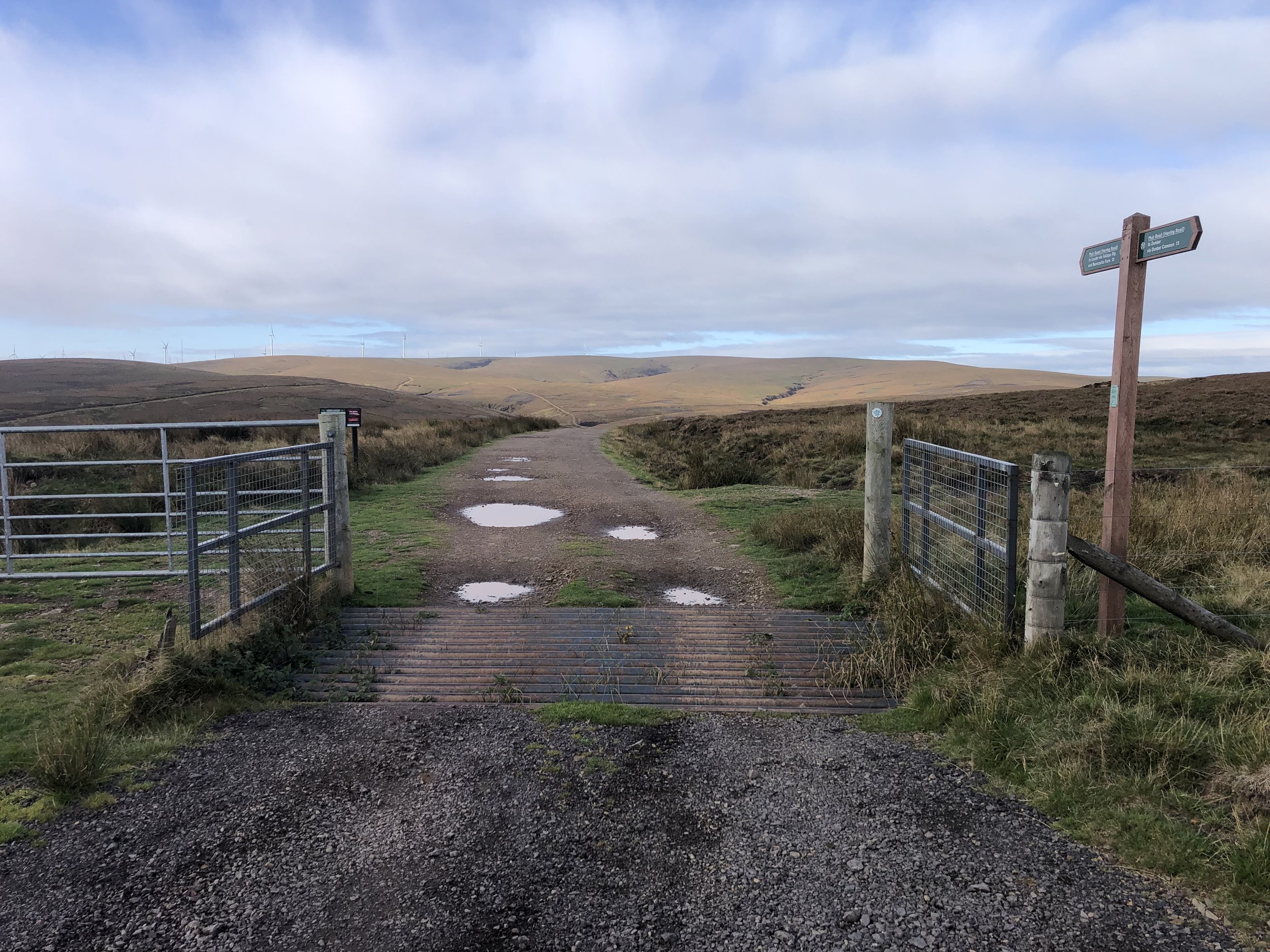
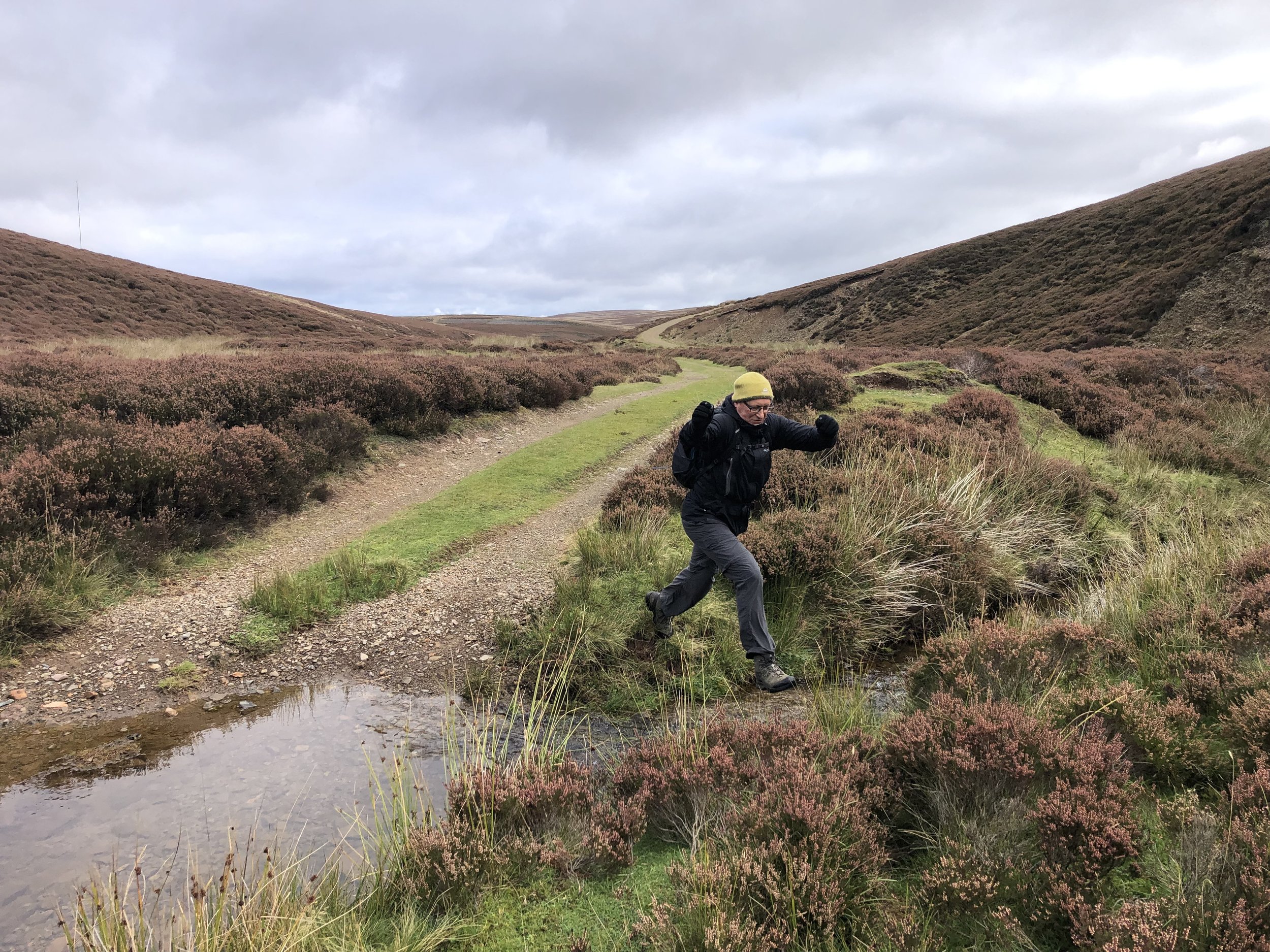
For our final walk of the weekend we headed to the eastern end of the Lothians for Meikle Says Law. As with Blackhope Scar this involves a short section from the parking area followed by a circular route. We took an anti-clockwise direction on the circular section following a track running parallel to Faseny Water. There’s a few places where the stream crosses the track but we found it easy to jump over without getting wet. It would be a different story after very wet conditions so be prepared to search for other places to cross or make sure that you have good waterproof boots.
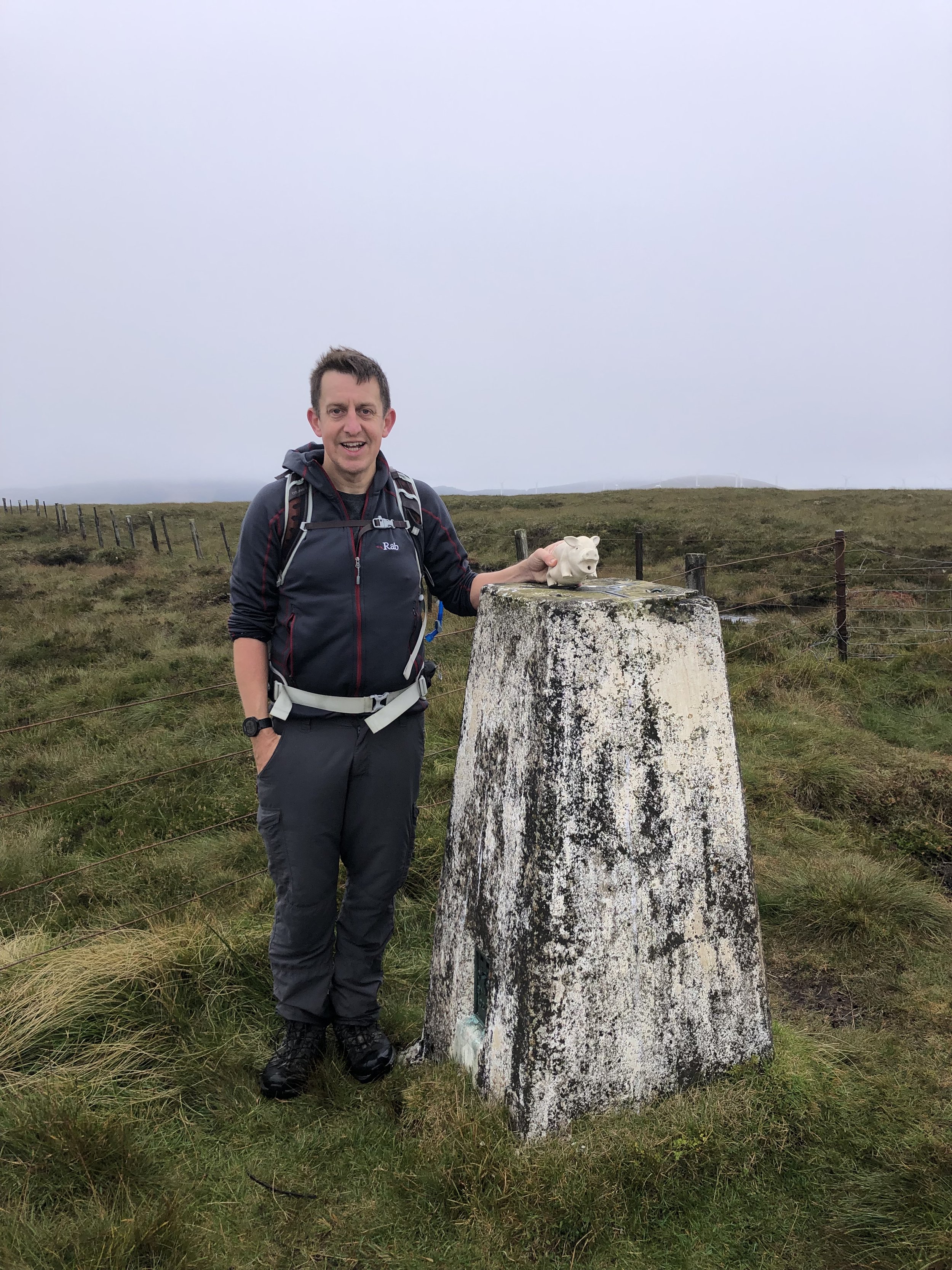
Taking the anti-clockwise direction turned out to be a good plan as the track takes you right up to the summit. The Trig Pillar marks the high point of East Lothian. It’s very close to the border with Berwickshire and it’s a 100m walk to the south to bag the high point of that county. There’s nothing to mark the Berwickshire top so we just took a bearing from the gate near the Trig Pillar to the coordinates. It certainly didn’t feel like a summit but there’s was nothing else notable around so we decided to call it there.
From the Berwickshire top we retraced our steps to the Trig Pillar and followed a path on the south side in an easterly direction. The path comes and goes and it’s quite heavy going, but keep to the left of the fence and you’ll be fine. You’ll cross the East Lothian/Berwickshire border a few times on this path but with nothing to mark the boundary.
When you reach a small gate in the fence where another path comes in from the east, you’ll leave the fence, now heading in a north-easterly direction back down to Faseny Water. After crossing the footbridge you’ll have closed the loop and can return to the parking spot on the road.


Driving Distances and Times for the Edinburgh Crescent Road Trip
Based only on connections between the walks. Add more based on accommodation, bonus walks etc. Driving times based on light traffic.
Edinburgh Airport to West Lomond: 32 miles / approx 40 minutes.
West Lomond to Innerdouny Hill: 18 miles / approx 30 minutes.
Innerdouny Hill to Ben Cleugh: 13 miles / approx 30 minutes.
Ben Cleuch to Cairnpapple Hill: 35 miles / approx 60 minutes.
Cairnpapple Hill to Blackhope Scar: 50 miles / approx 90 minutes.
Blackhope Scar to Meikle Says Law: 42 miles / approx 90 minutes.
Meikle Says Law to Edinburgh Airport: 39 miles / approx 60 minutes.
Total drive: 239 miles / approx 6 hours 40 minutes.

Other High Points in the Edinburgh Crescent Area
East Cairn Hill. 567 metres, City of Edinburgh Present Day County High Point: Peakbagger
West Cairn Hill. 562 metres, West Lothian Present Day County High Point: Peakbagger
Darrach Hill. 357 metres, Falkirk Present Day County High Point: Peakbagger