Allermuir Hill and Arthur's Seat, Edinburgh

North face of Arthur’s Seat from Whinney HIll
Allermuir Hill and Arthur’s seat are two very different hills, linked only as being short walks very accessible from Edinburgh Centre. For us they were two “bonus peaks” that we squeezed in on our Edinburgh Crescent County Top trip.
Allermuir Hill
Member of: Marilyn
Parent Peak: Scald Law NHN = Turnhouse Hill
Elevation: 493m
Date climbed: 25th September 2022
Coordinates: 55° 52' 57'' N, 3° 14' 14'' W
Route Start / End: Midlothian Snowsports Centre, Hillend, Biggar Road, Edinburgh, EH10 7DU
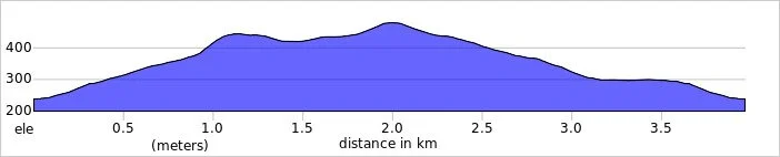
Route Distance: 4.0 km (2.5 miles)
Route Elevation Change: +/- 240m
Subsidiary tops on route: None .. but Caerketton Screes could easily be added to the route
GPX File: get via Buy Me a Coffee
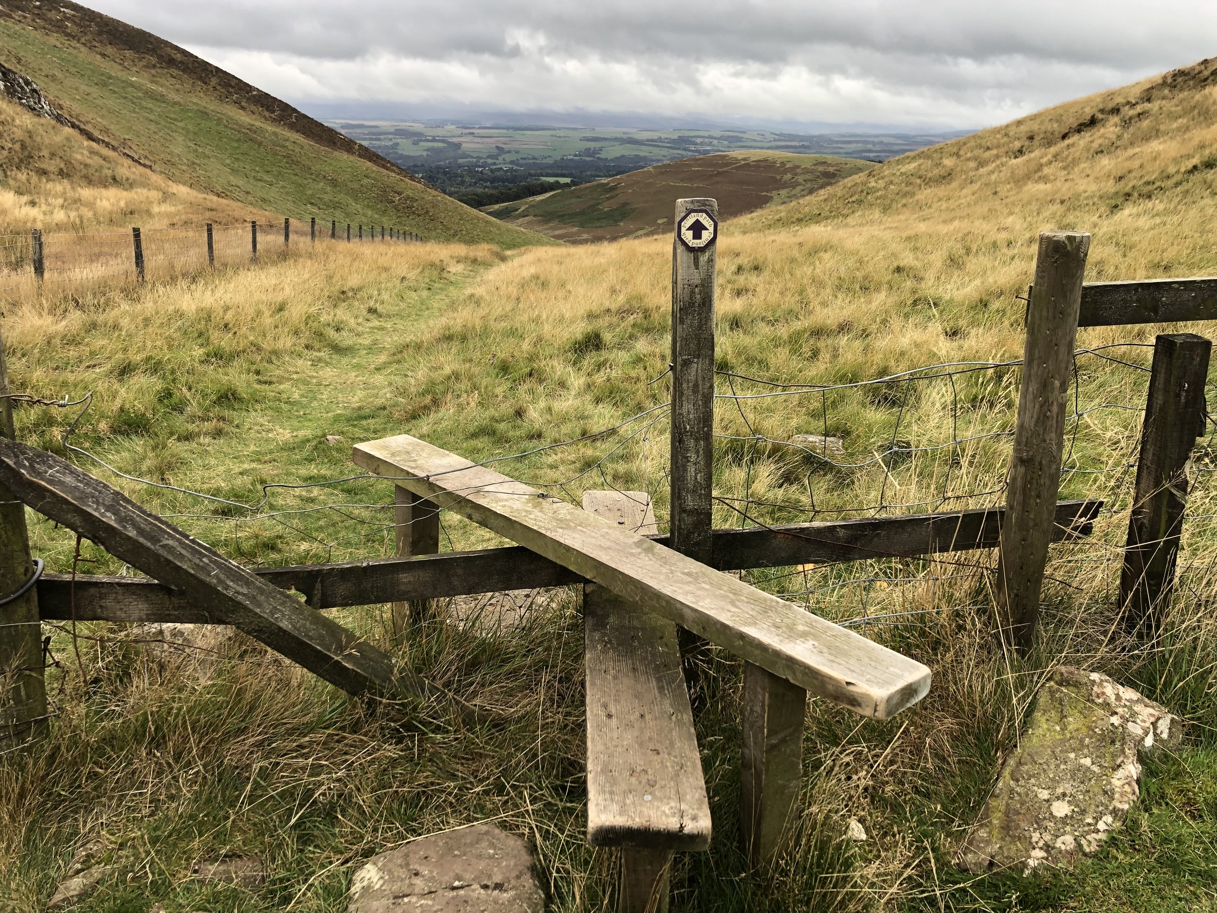
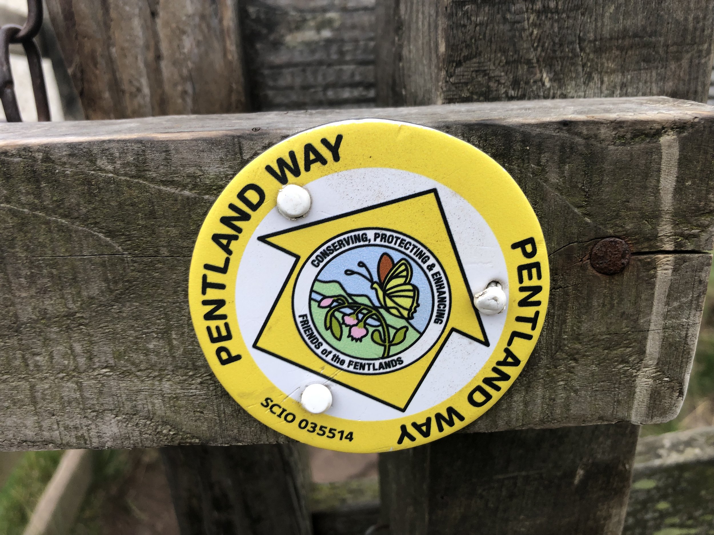
Other routes touched (walk): Pentland Way
Other routes touched (cycle): None
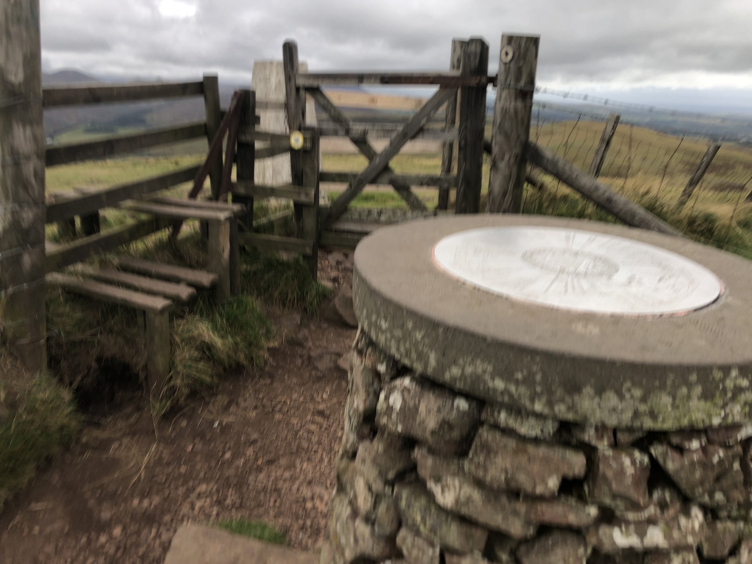
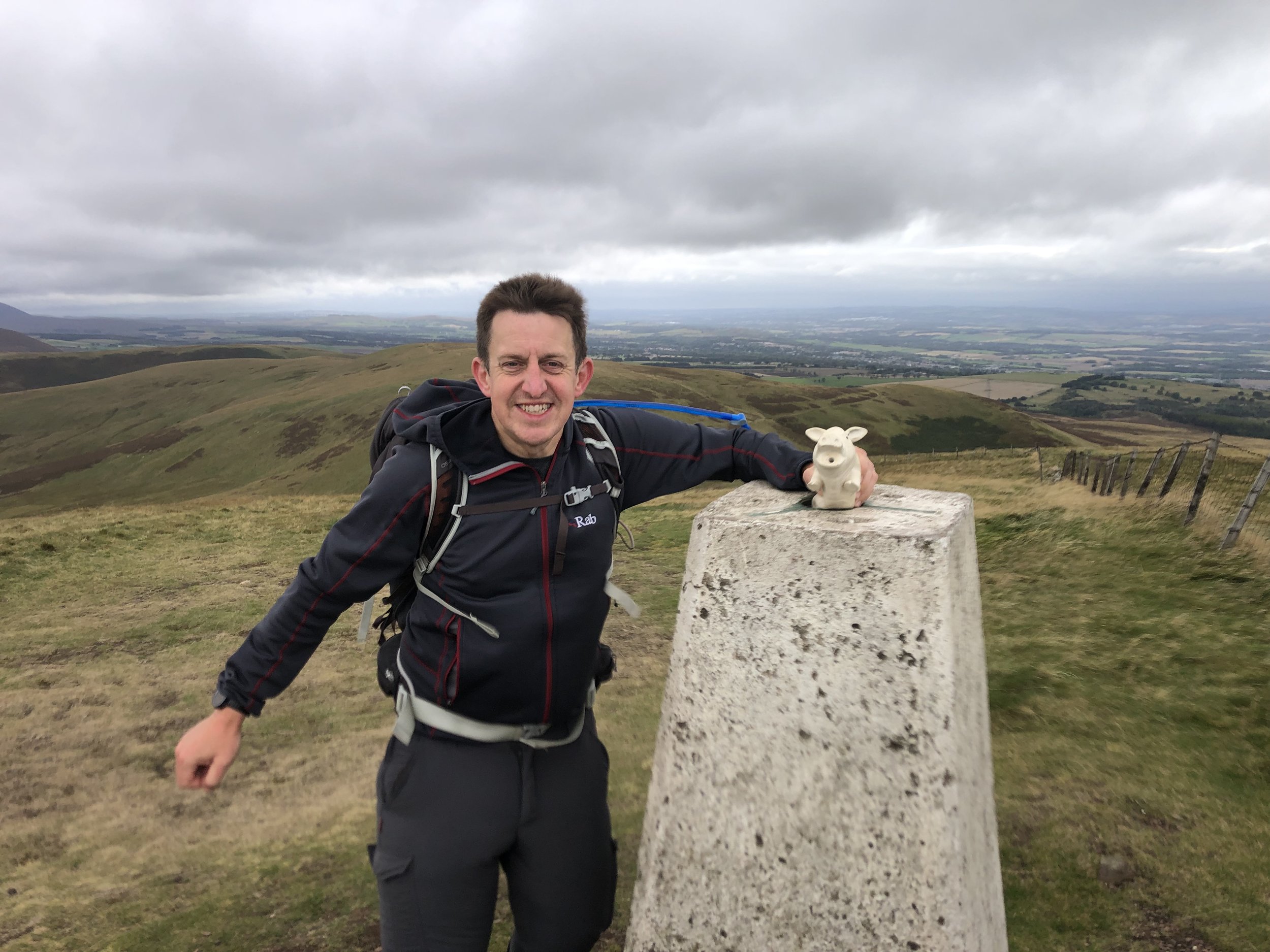
OS Trig Pillar: TP0816 - Allermuir Hill
Map: Edinburgh Map | Musselburgh & Queensferry | Ordnance Survey | OS Explorer Map 350
Links: Wikipedia (Pentland Hills), Peakbagger, Hillbagging
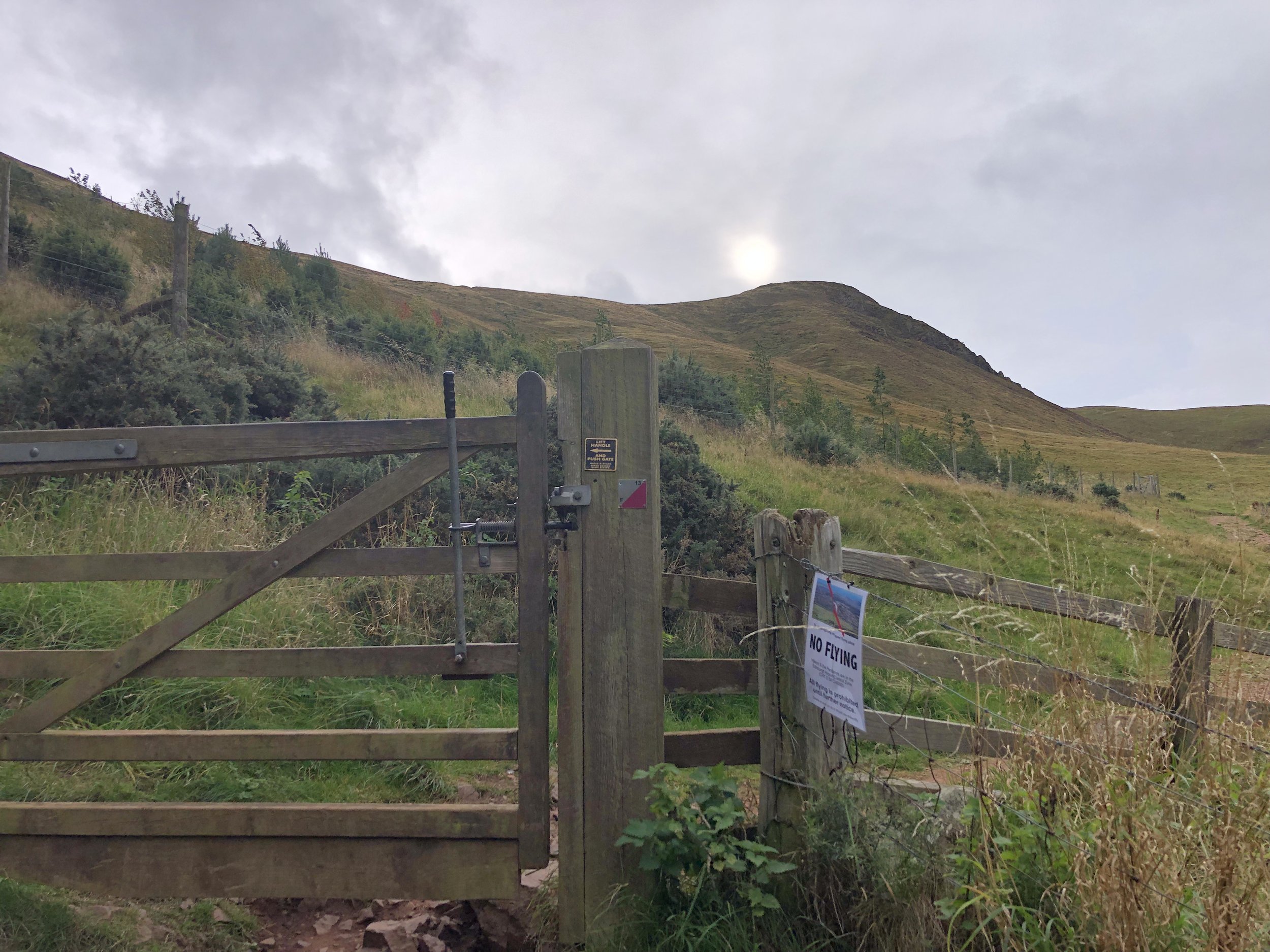
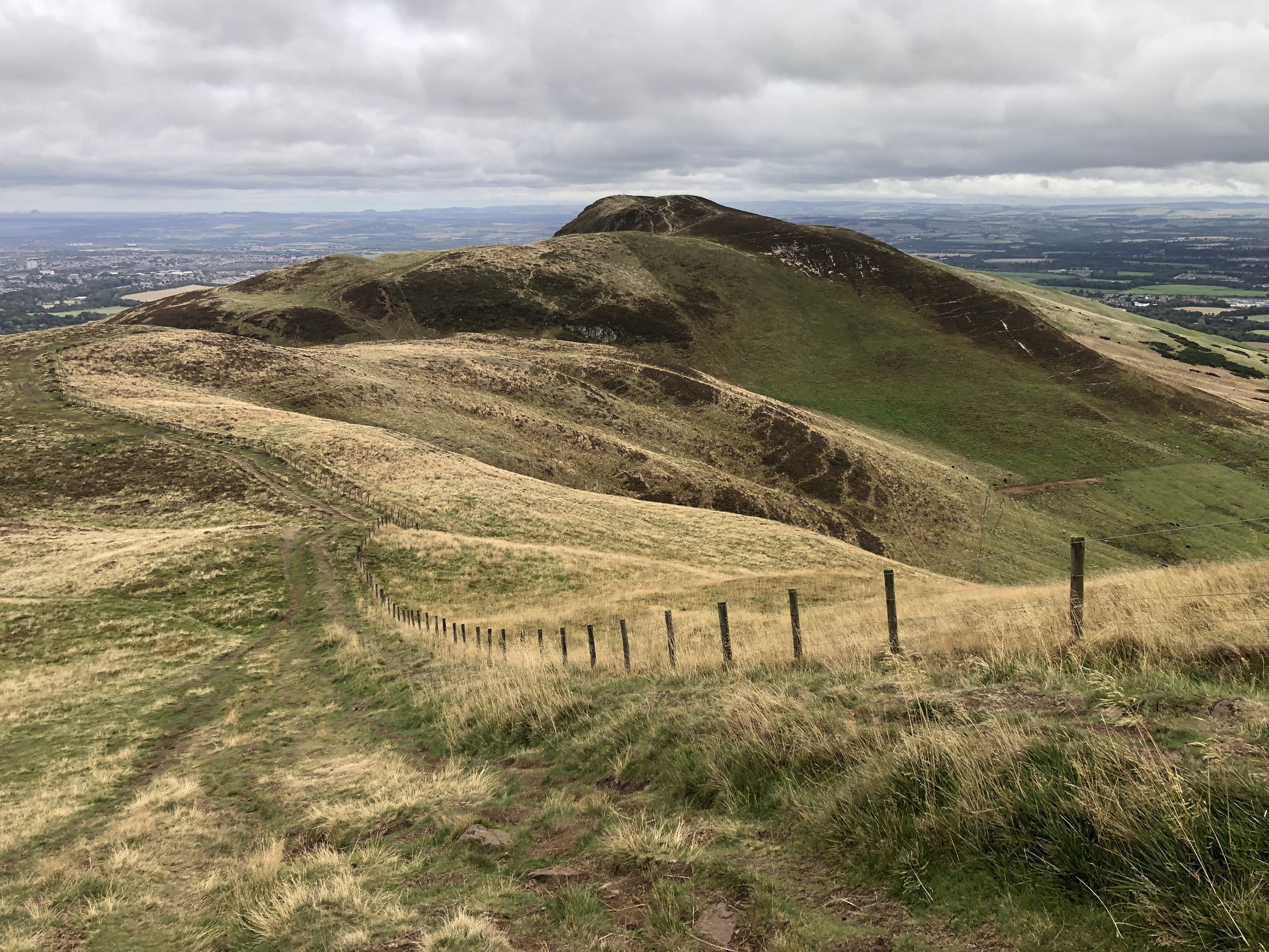
Having completed Blackhope Scar earlier in the day and with some time to spare, I picked Allermuir as our bonus walk as it was close to our hotel in Dalkeith. We parked at the Midlothian Snowsports Centre and to the track heading west towards the Pentland Way. We chose to ascend via the col between Allermuir and Caerketton Screes. In hindsight, and with better planning, I would have ascended before Caerketton Screes to bag that summit too in the way to Allermuir.
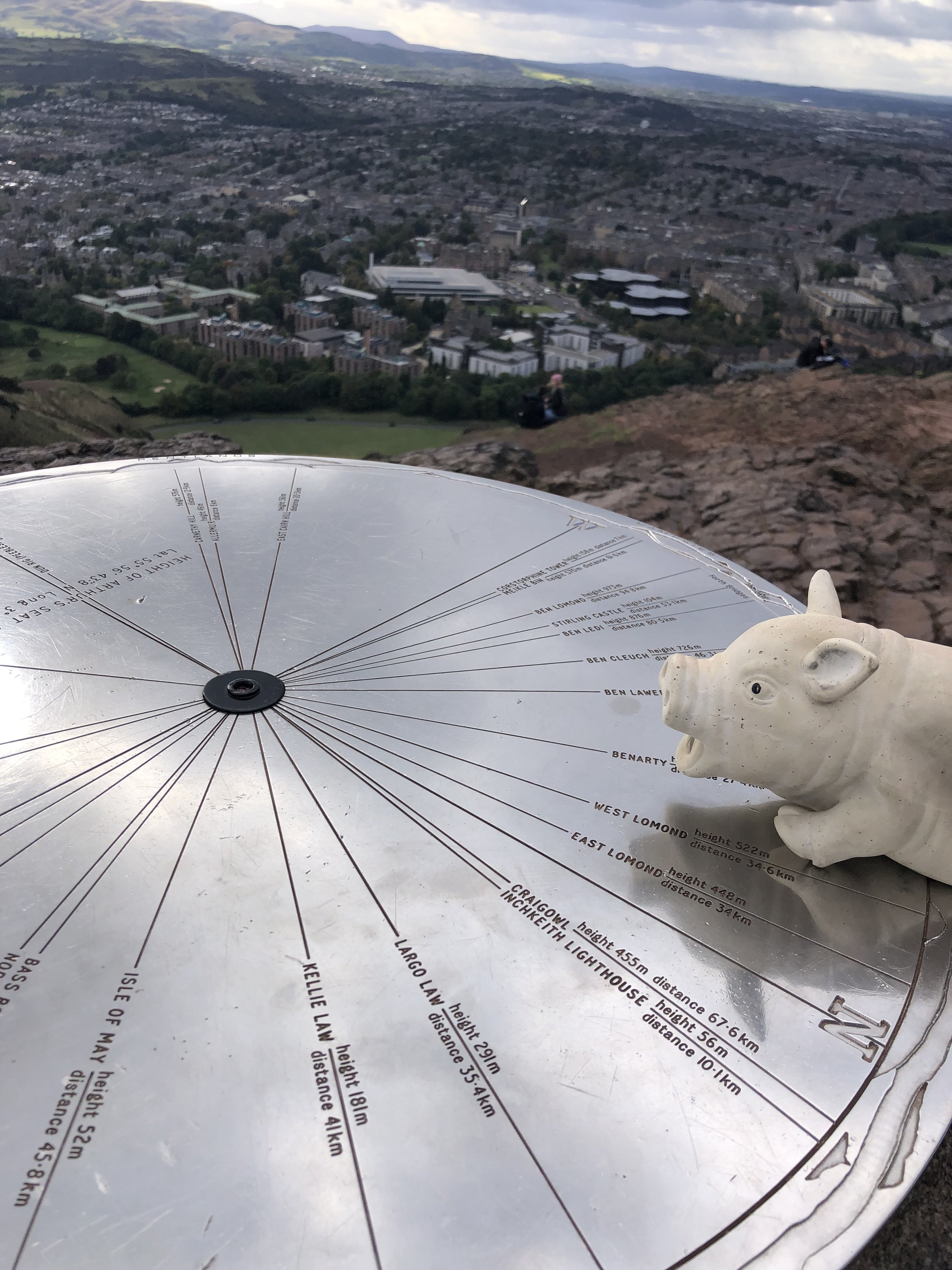
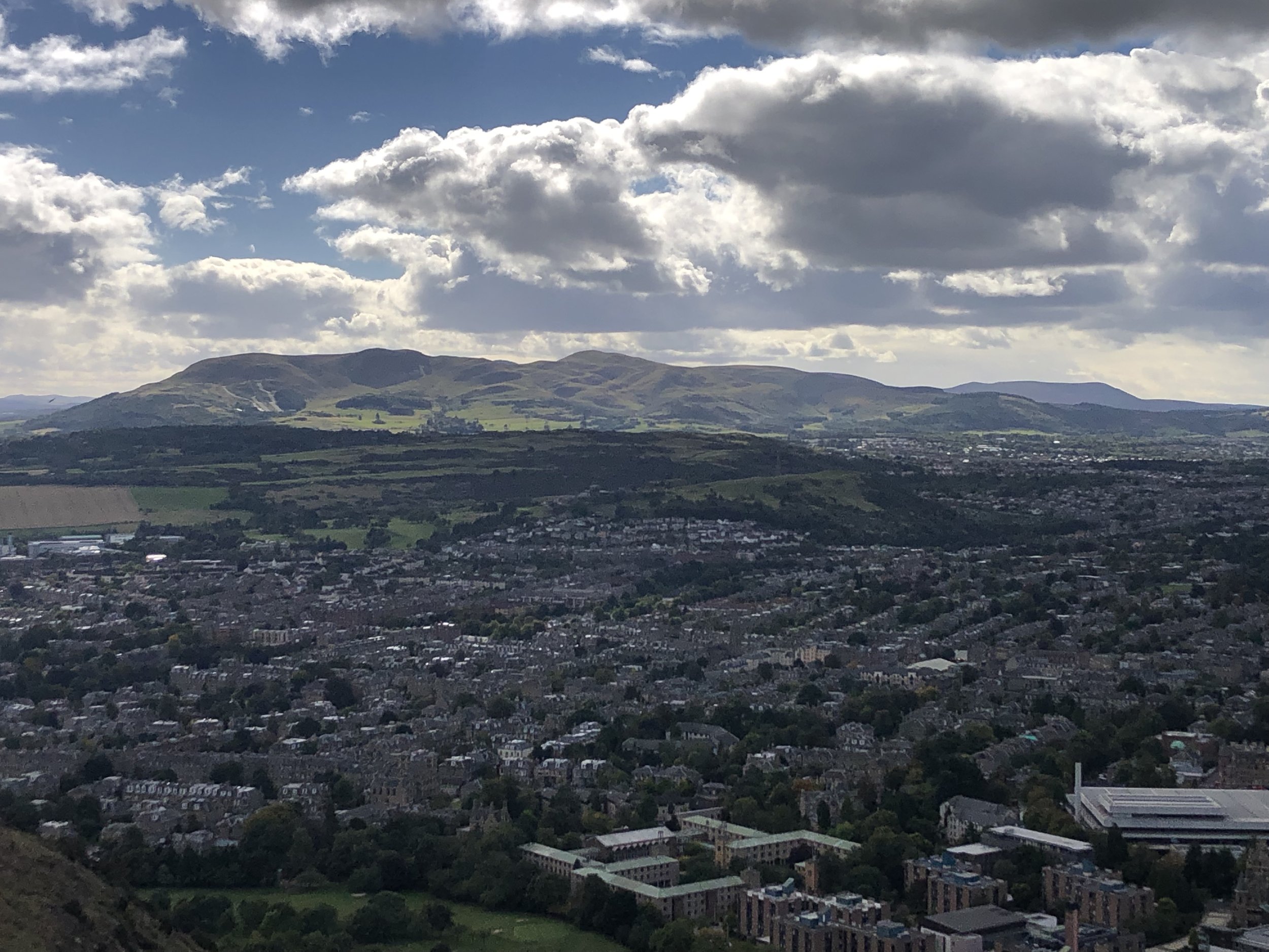
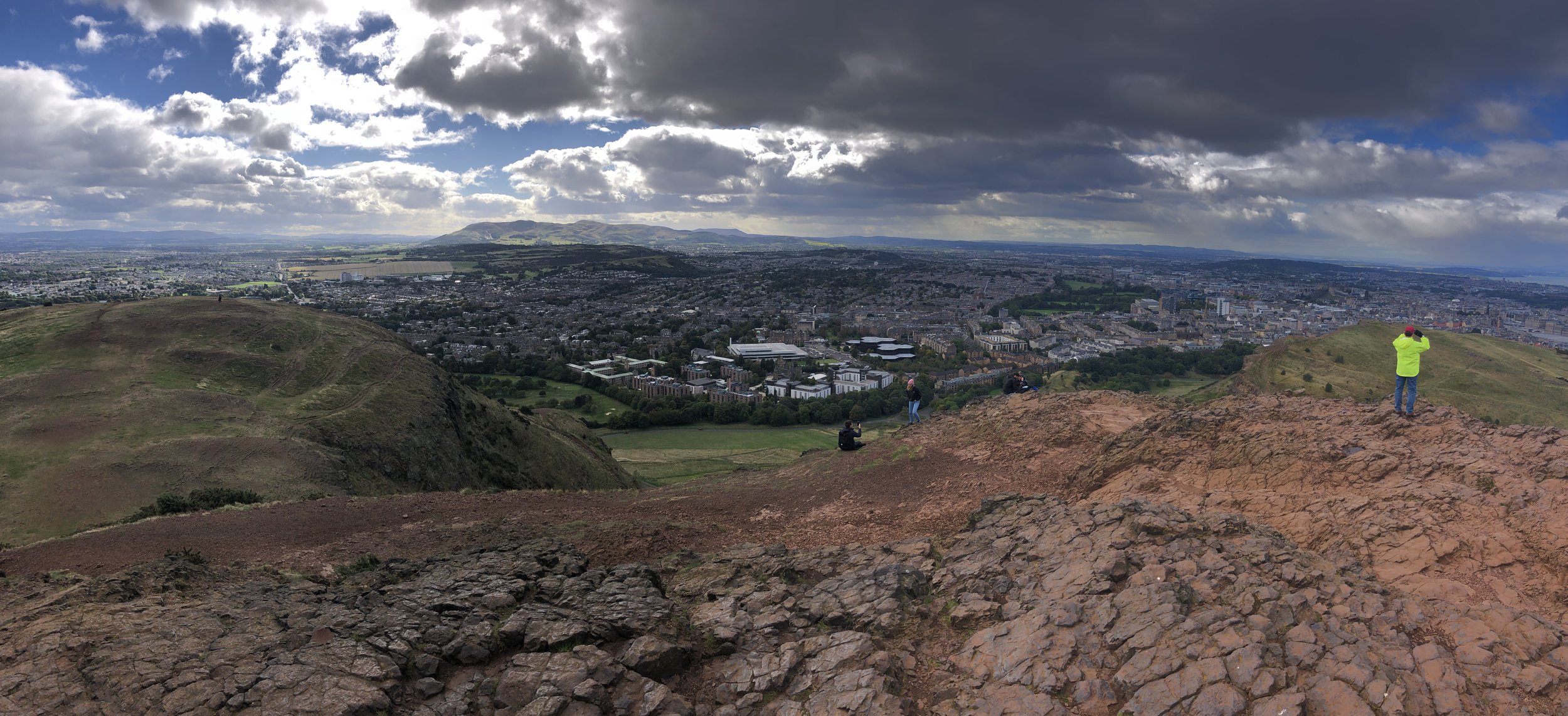
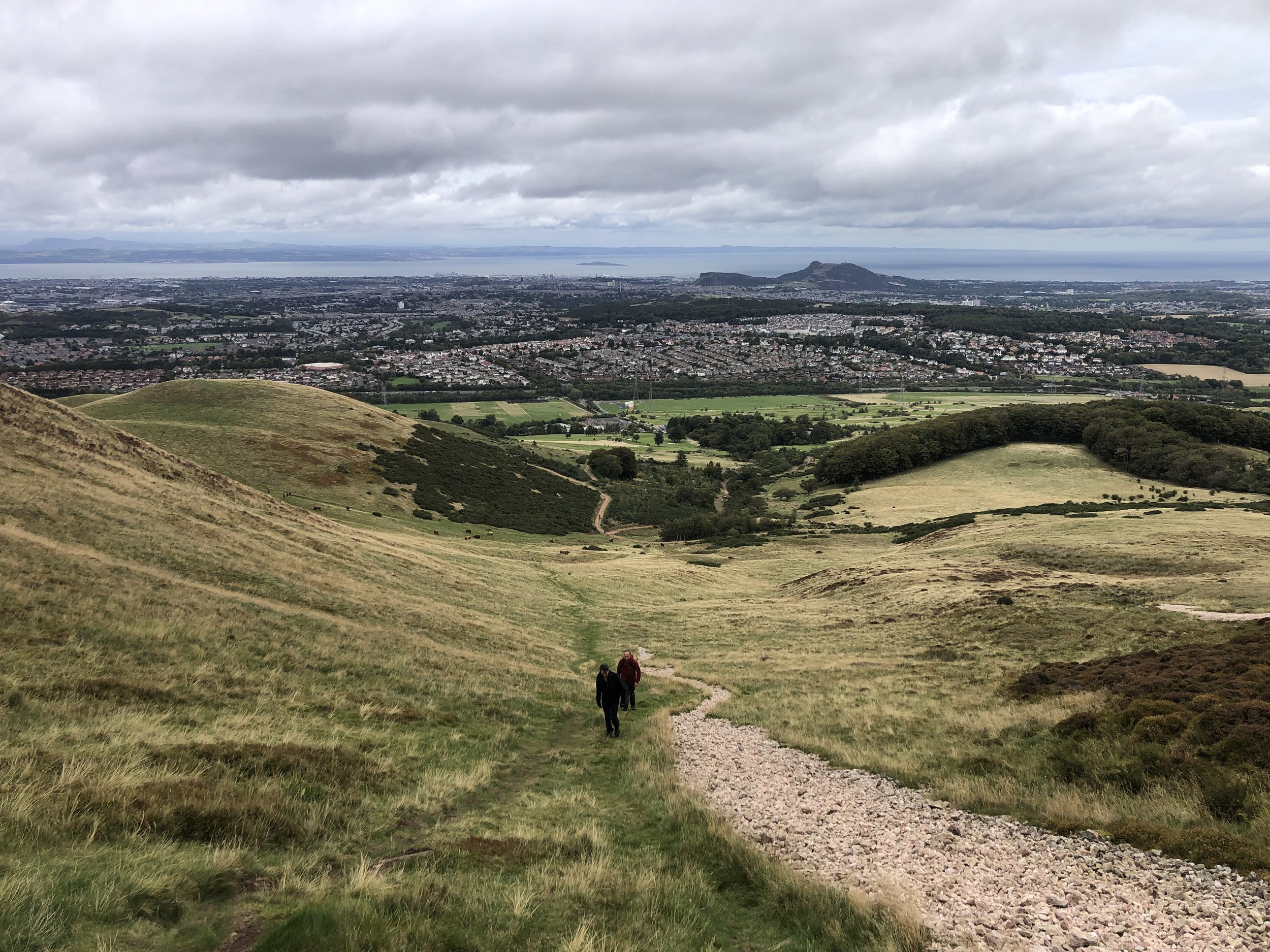
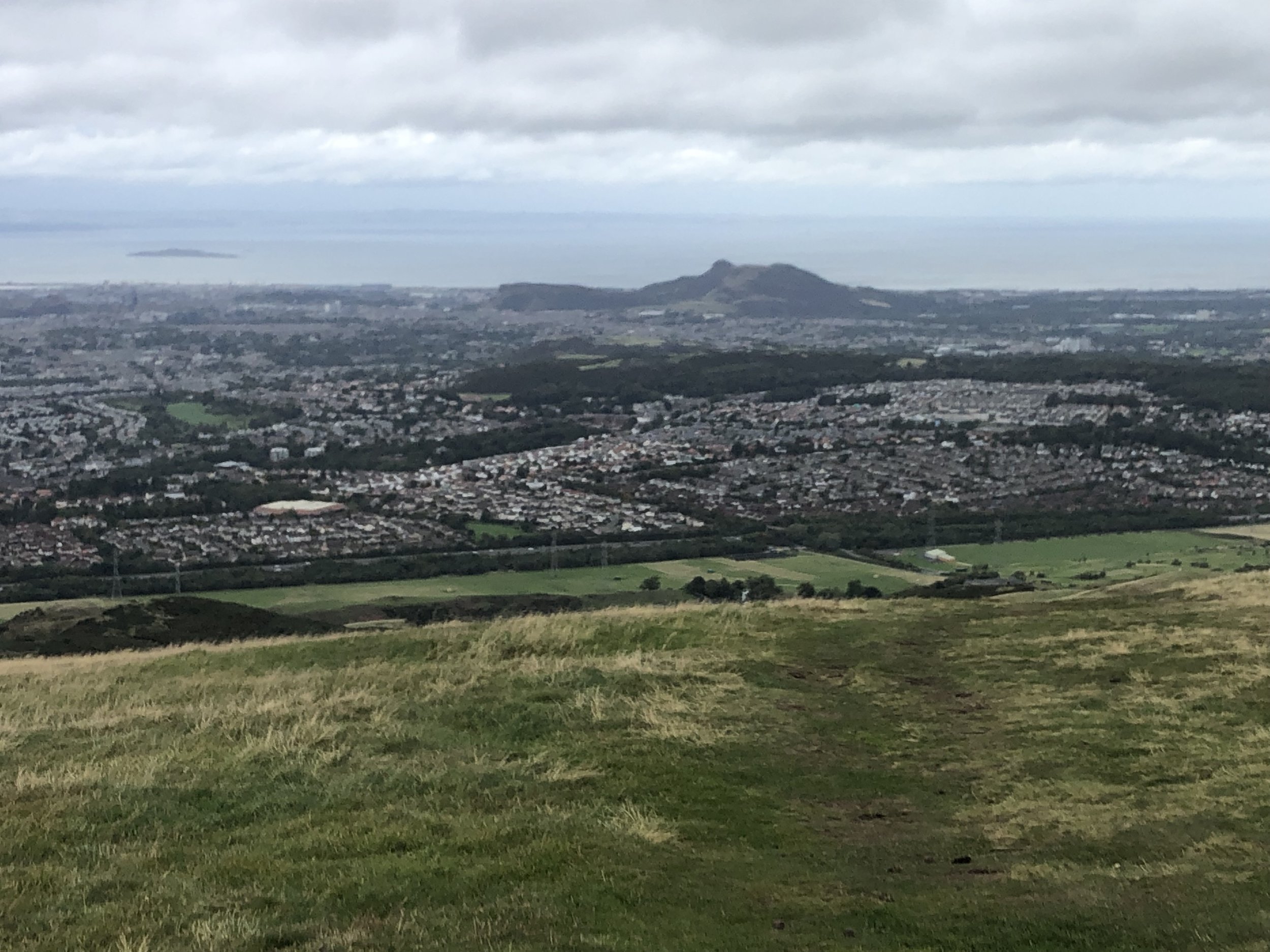
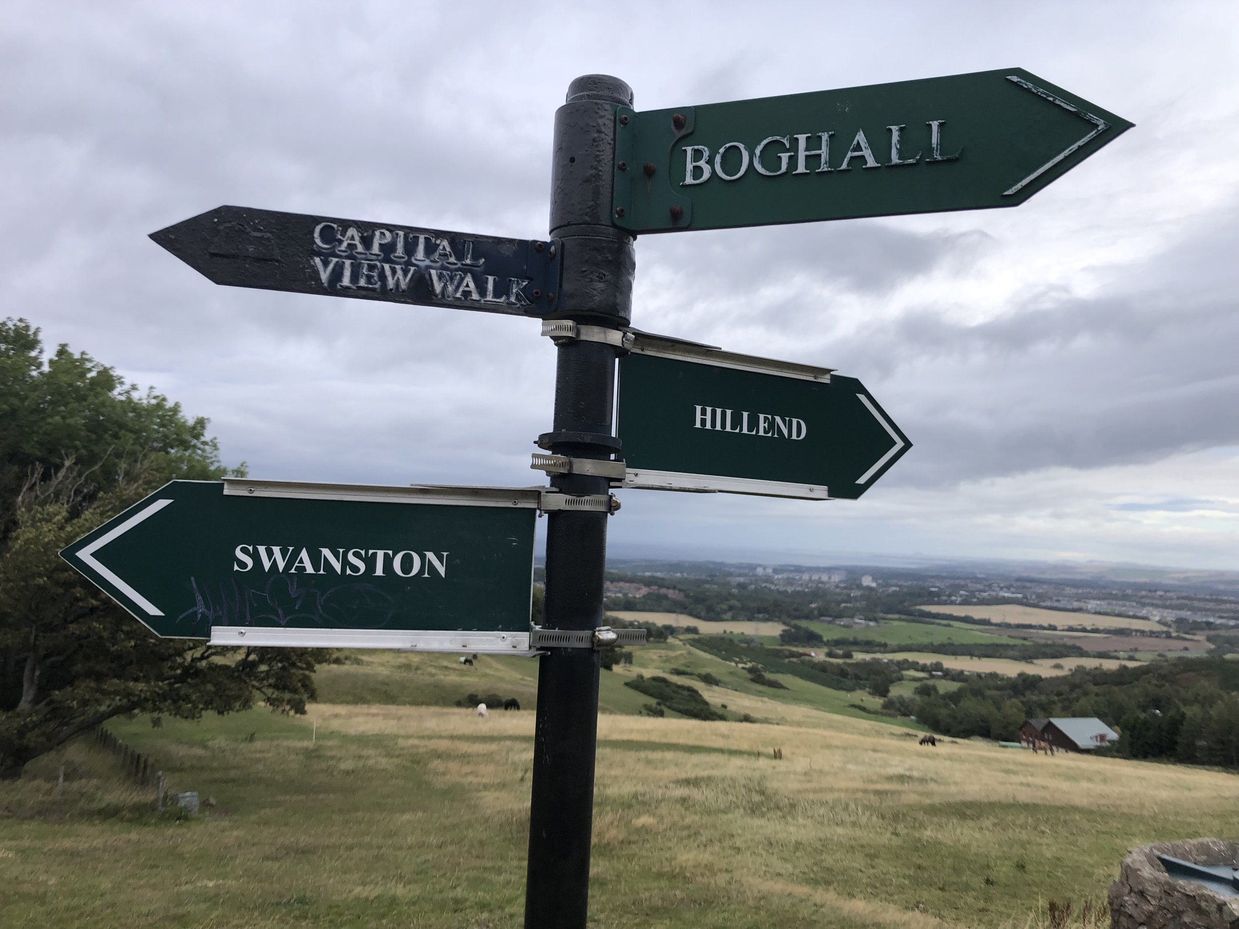
From the Trig Pillar at the summit of Allermuir you get a great view over to Edinburgh, including Arthur’s Seat, the Firth of Forth and, in the other direction, the Pentland Hills. We were there on a very windy afternoon so didn’t hang around on the summit for long so descended following the Pentland Way to the north-east then back to the Snowsports Centre.


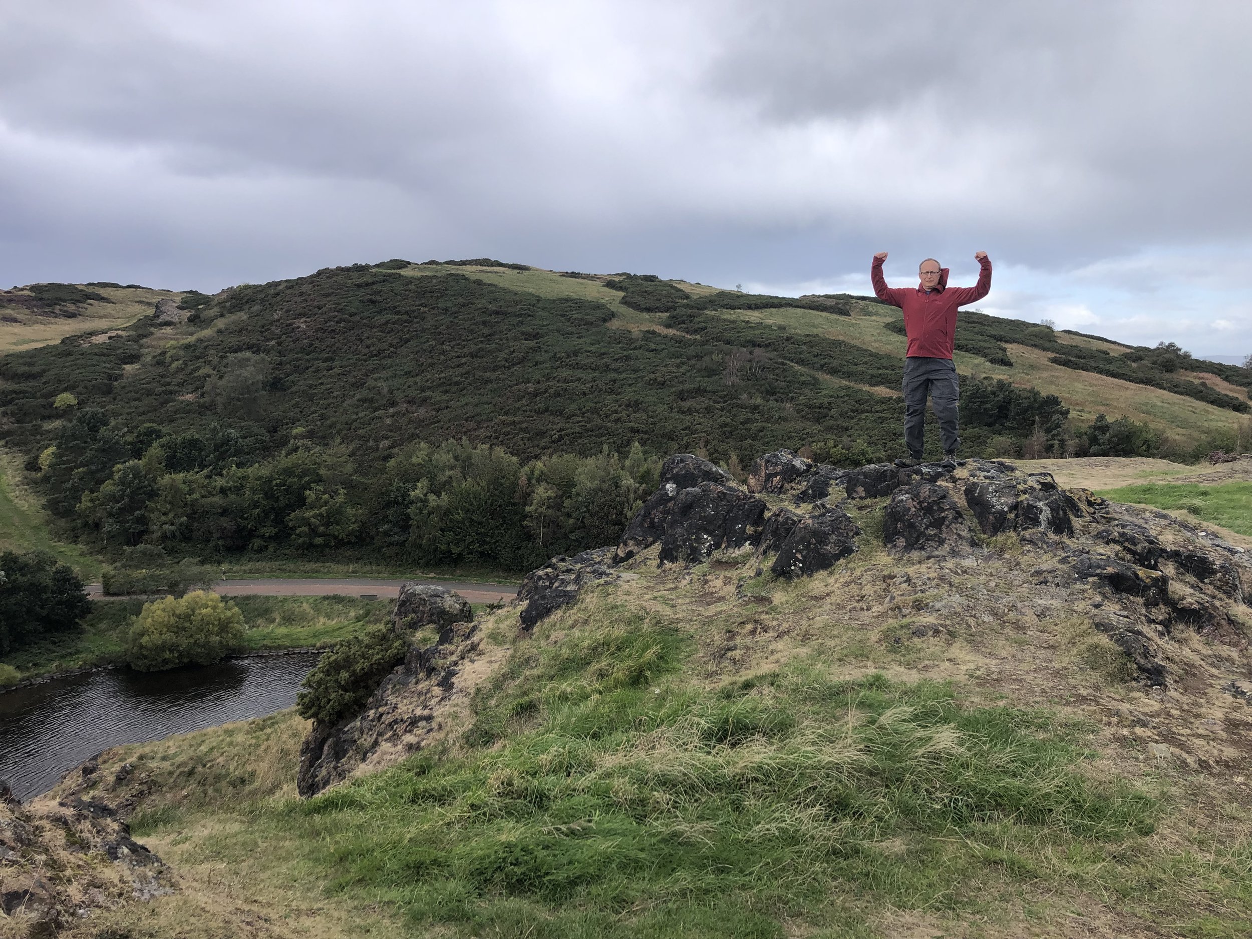
Arthur’s Seat
Member of: Marilyn
Parent Peak: Allermuir Hill (to be verified) TBC NHN = Caerketton Hill
Elevation: 251m
Date climbed: 26th September 2022
Coordinates: 55° 56' 38'' N, 3° 9' 42'' W
Route Start / End: Parking area near Duddingston Lodge, Old Church Lane, Duddingston, Edinburgh, EH15 3PY
Route Distance: 3.7 km (2.3 miles)
Route Elevation Change: +/- 195m
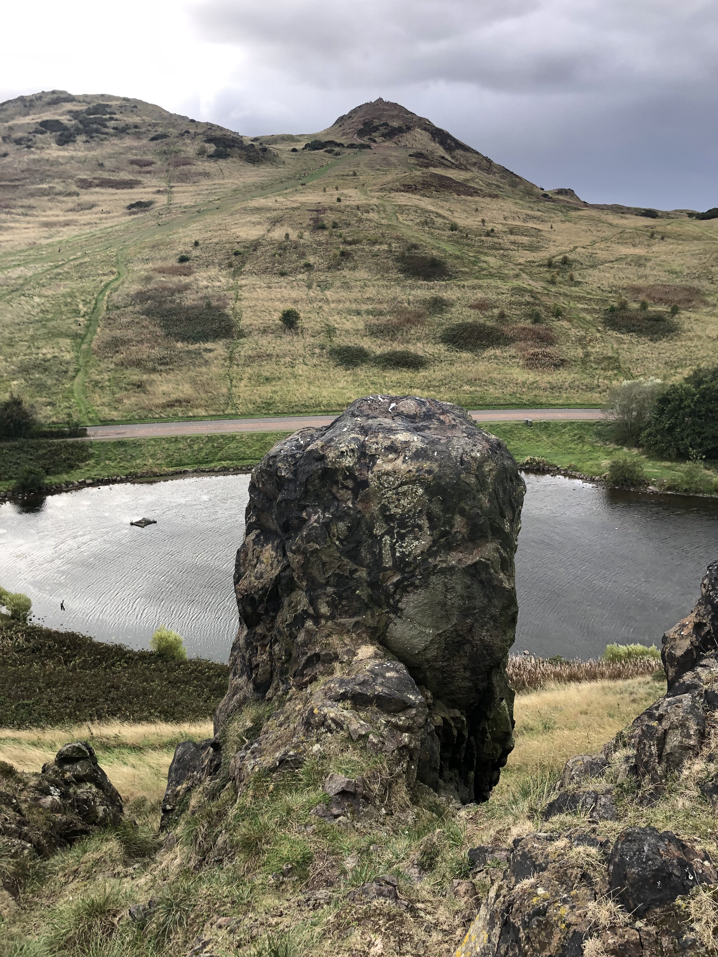
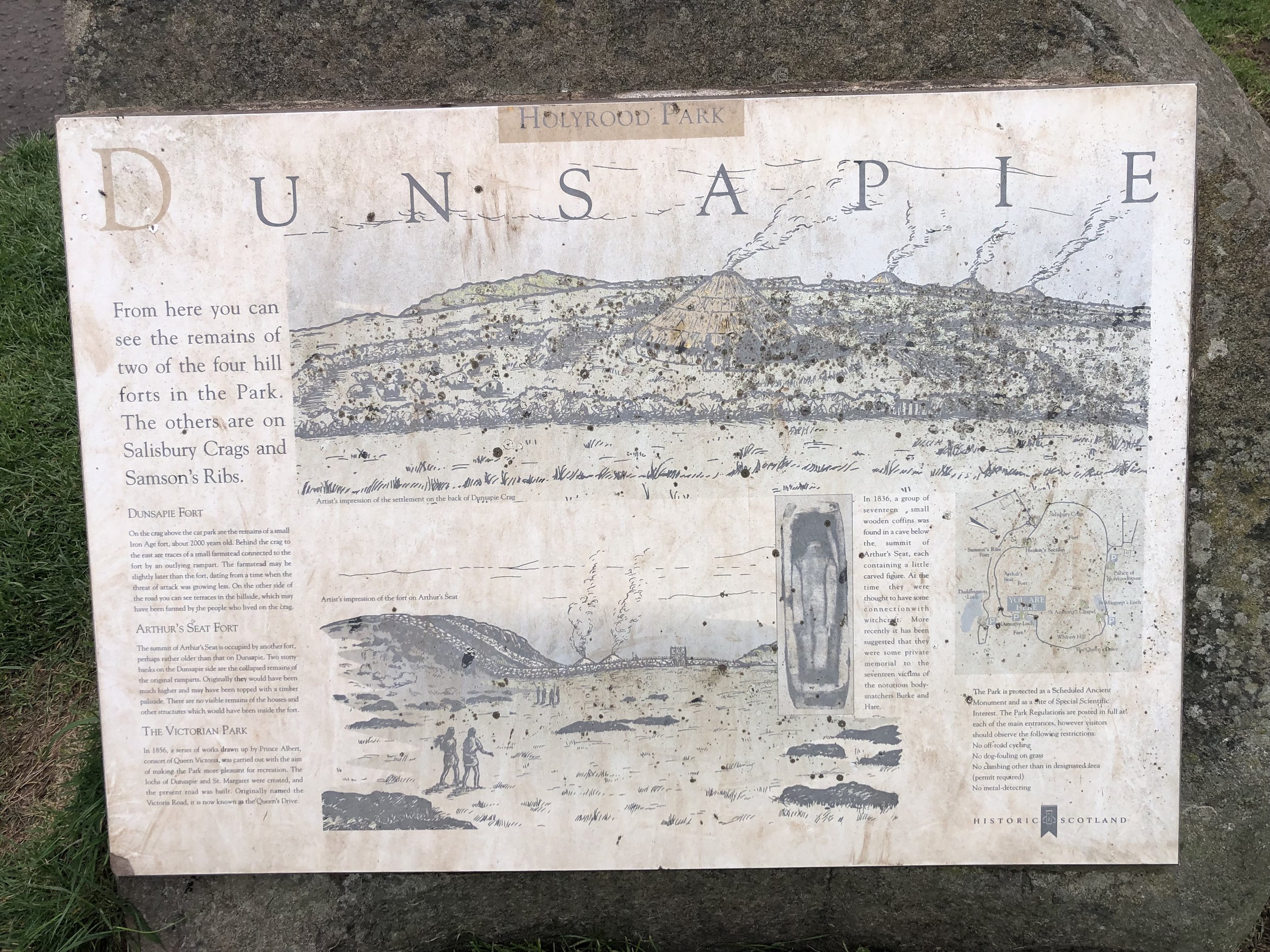
Subsidiary tops on route: Crow Hill (238m), Nether Hill (237m), Whinney Hill (174m), Dunsapie Crag (146m)
GPX File: get via Buy Me a Coffee
Other routes touched (walk): None
Other routes touched (cycle): None
OS Trig Pillar: TP0893 - Arthurs Seat
Map: Edinburgh Map | Musselburgh & Queensferry | Ordnance Survey | OS Explorer Map 350
Links: Wikipedia, Peakbagger, Hillbagging
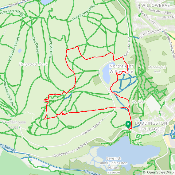
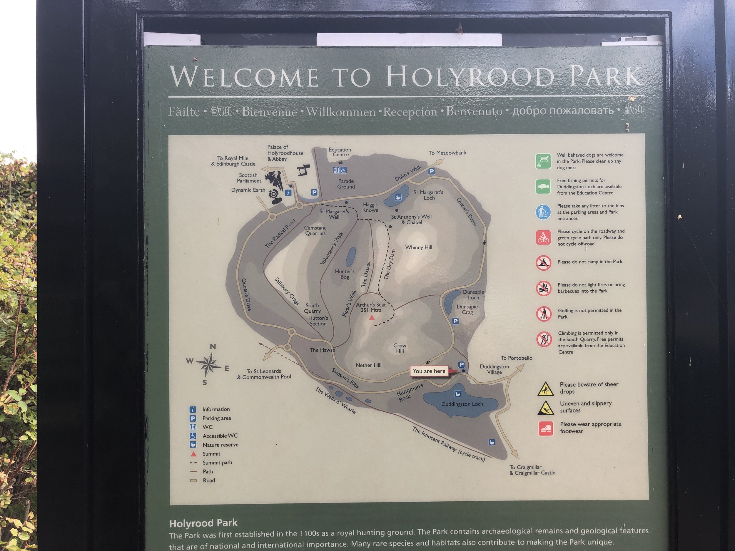
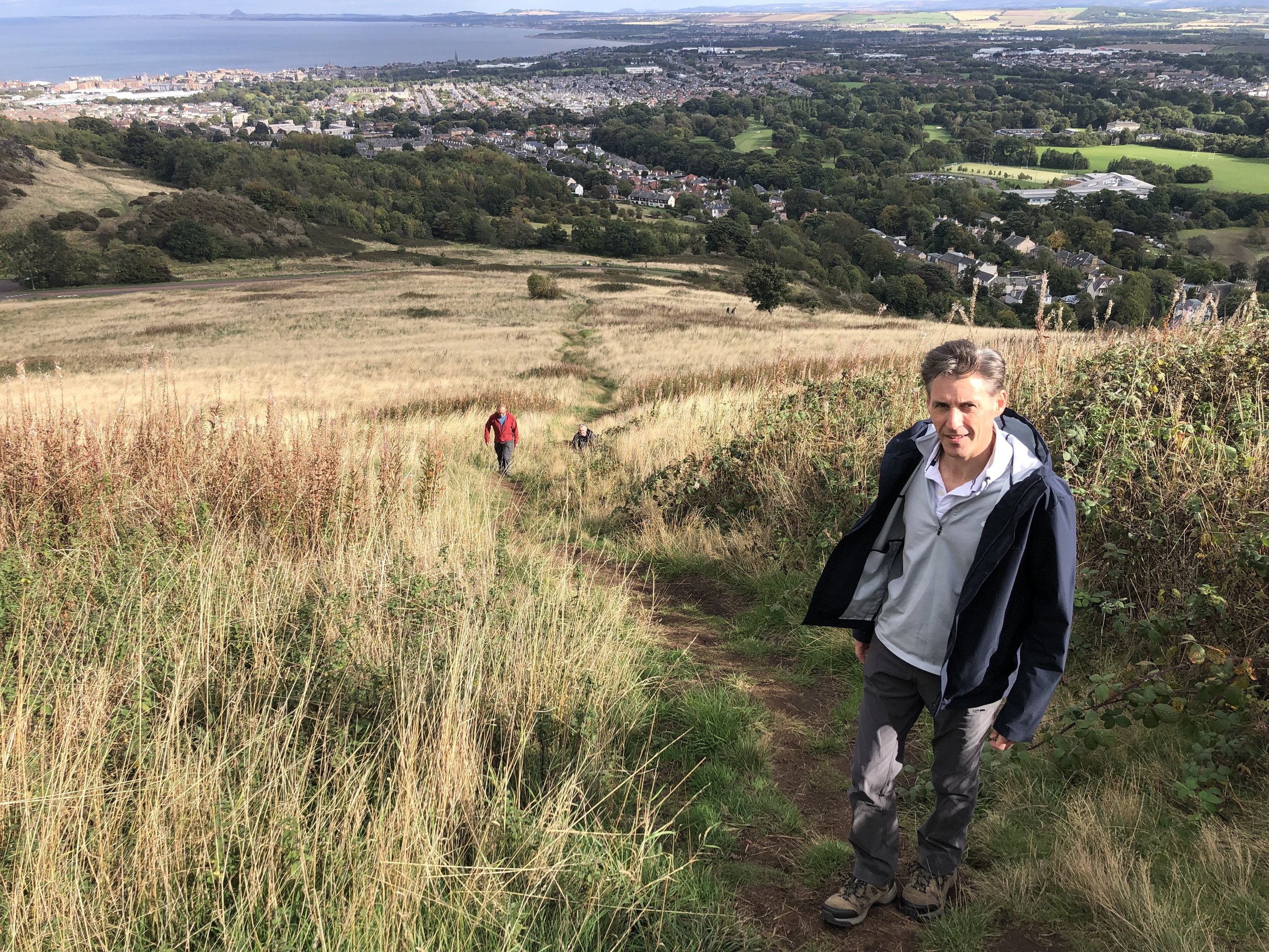
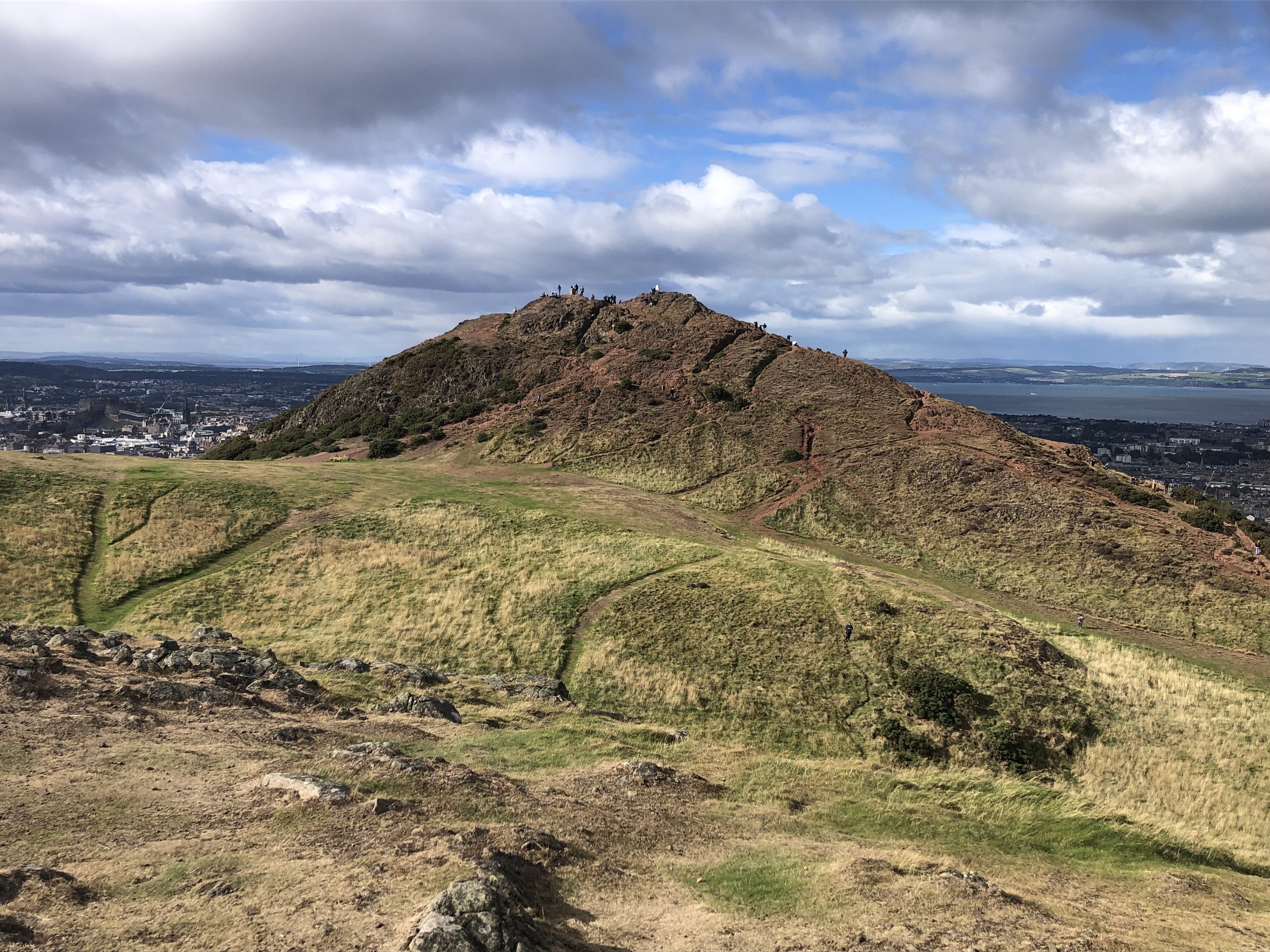
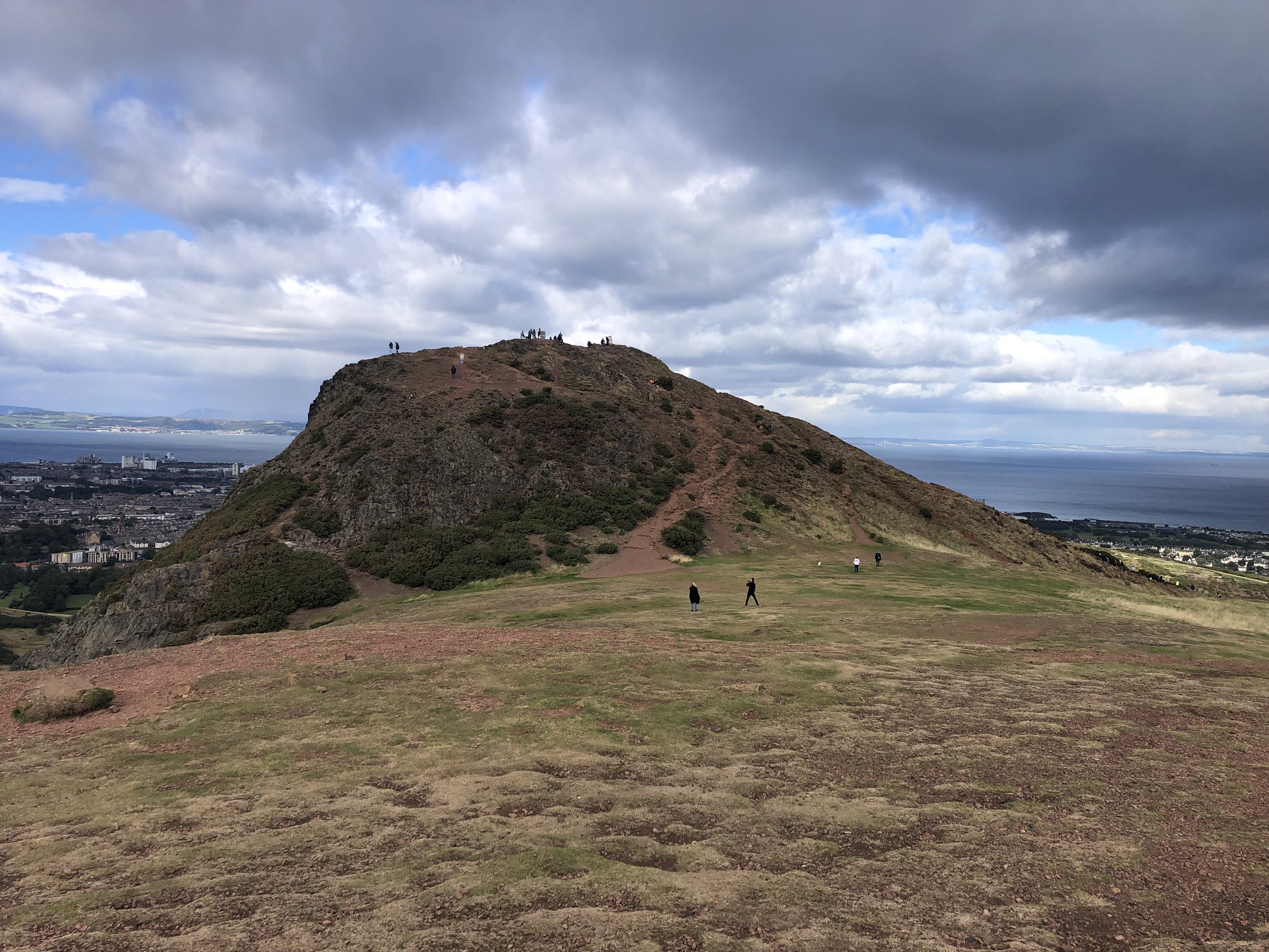
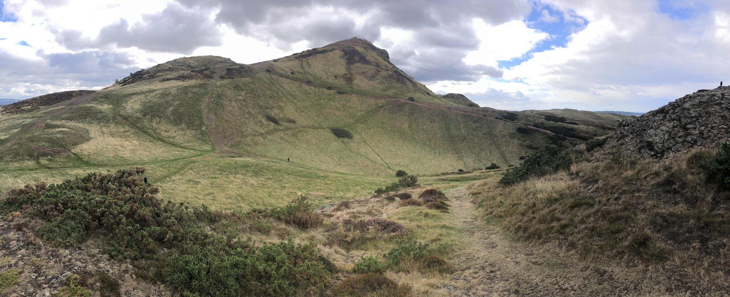
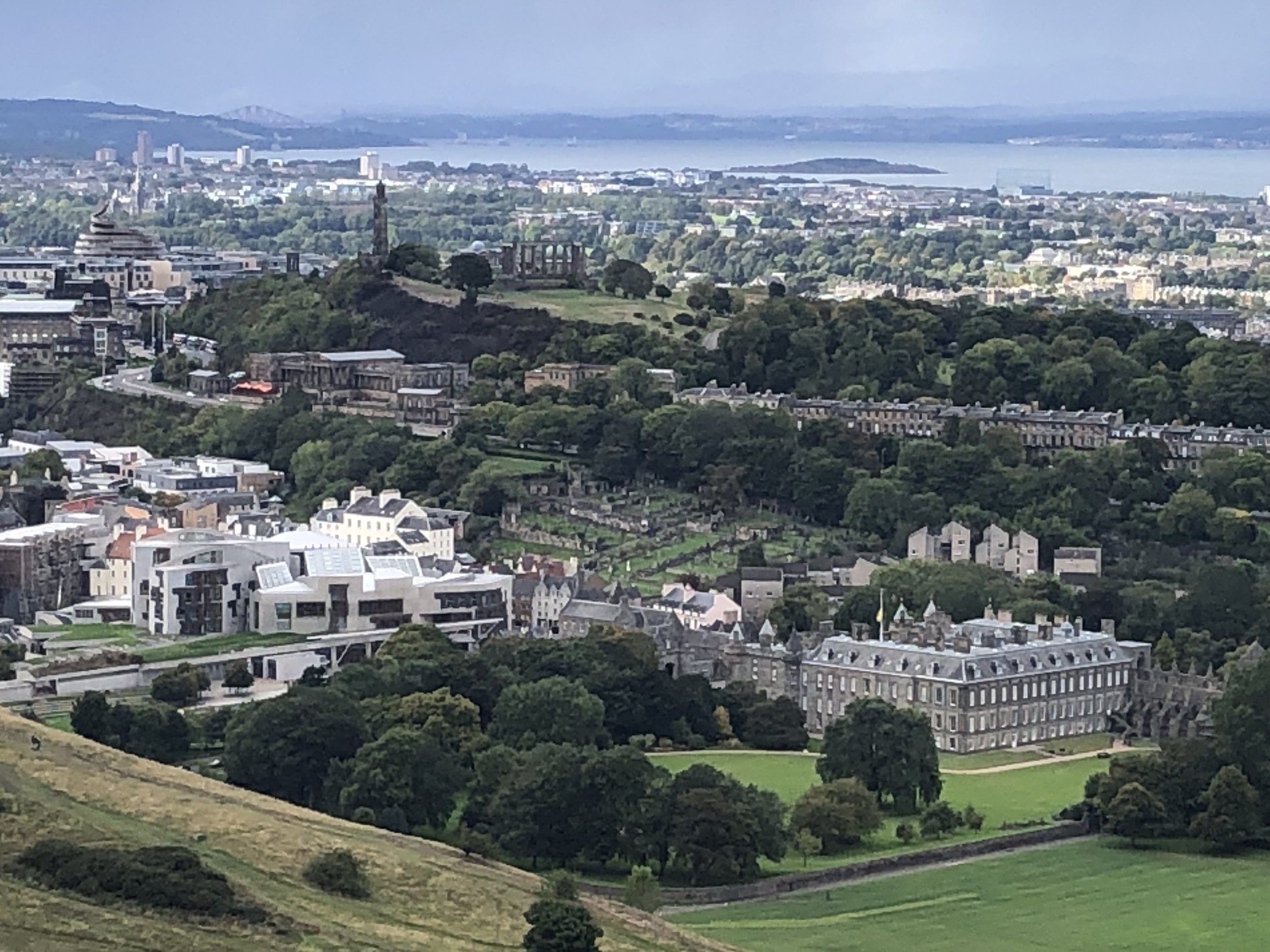
Arthur’s Seat is an icon of Edinburgh, an extinct volcano dominating Holyrood Park to the east of the city centre. We had completed Meikle Says Law in good time and were keen to fit it in on the way back to the airport. Rather than a simple out-and-back from the closest car park, we ended up having enough time for a small circuit covering 4 smaller peaks on the east side of Holyrood.
Most people access Arthur’s Seat from the west, closest to the city centre. Instead we found a small, quieter car park in the east at Duddingston Village. The simple out-and-back option would have taken us less than 40 minutes and we did the whole circuit in only an hour and a quarter. With more time I would have included Salisbury Crags and Haggis Knowe on the west of the park to do the full Holyrood Circuit. I reckon that the full route would have taken around 2 and a half hours.
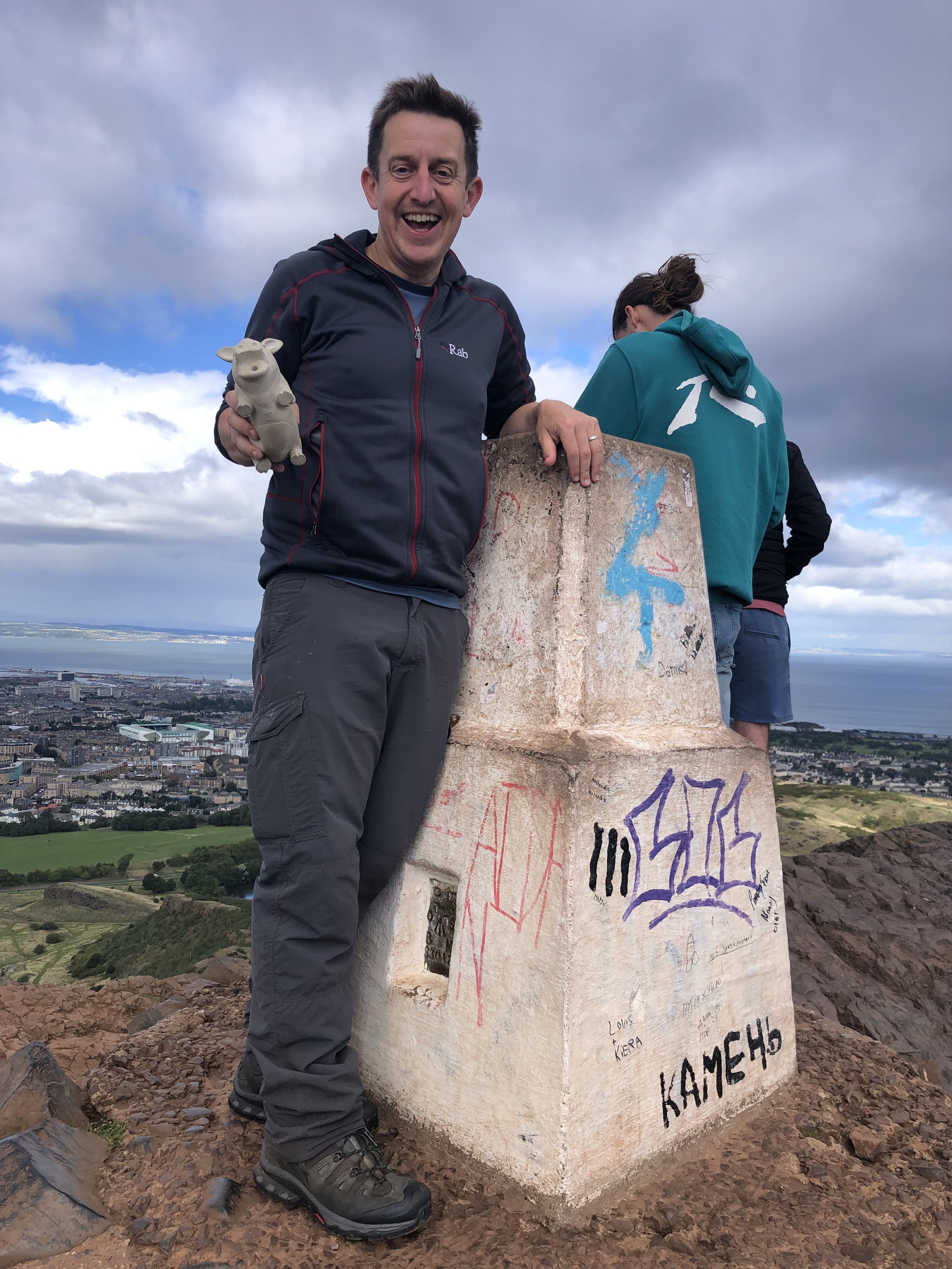
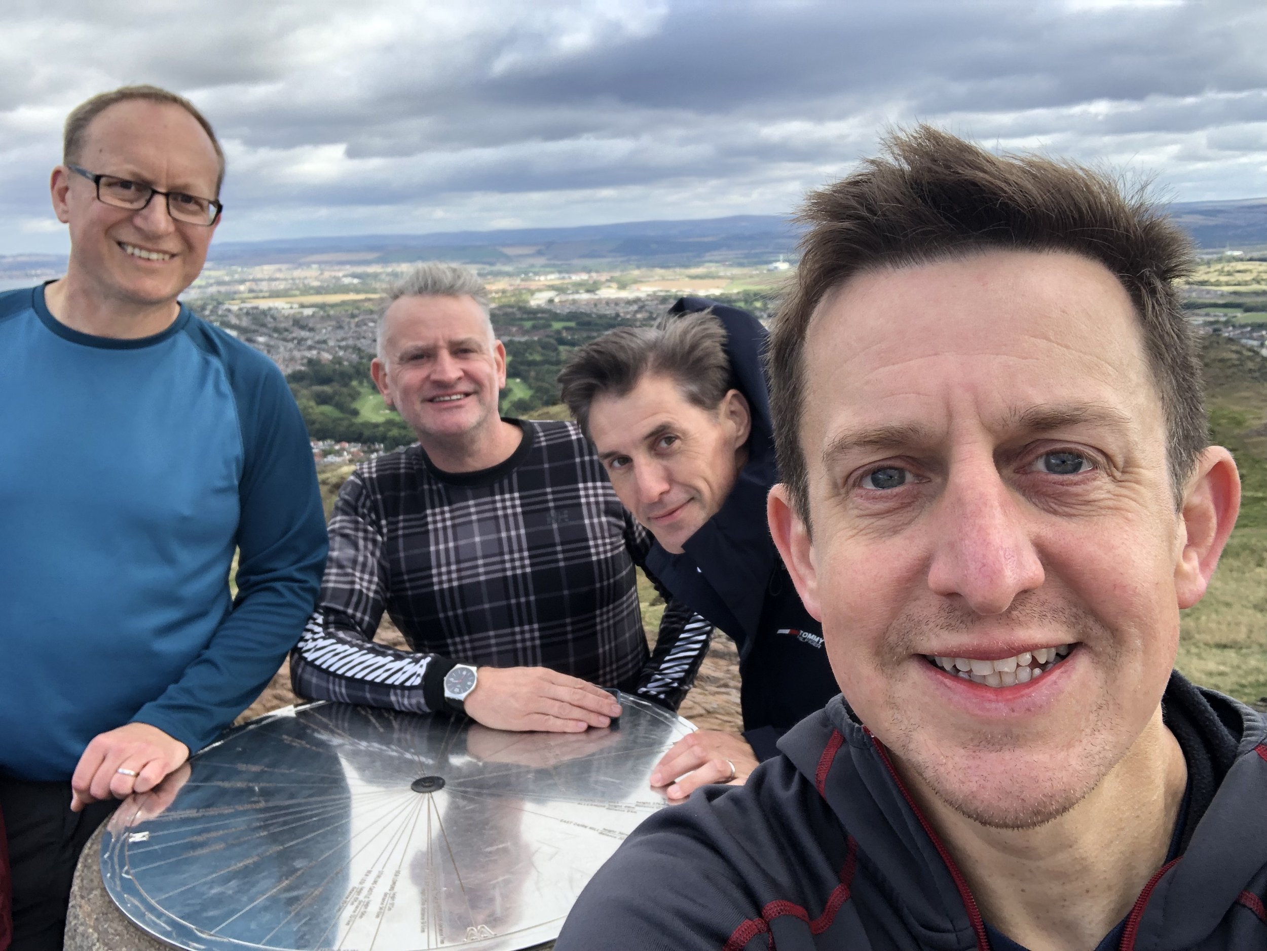
Bagging Arthur’s Seat was a satisfying conclusion to our Edinburgh County Tops weekend. We had a a clear day and had a good view to several of the peaks that we bagged over the weekend and the city itself.