Sydenham Hill: Lewisham and Southwark Boroughs High Point


Significance: Highest peak in the London Boroughs of Lewisham and Southwark
Member of: N/A
Parent Peak: Botley Hill. NHN = Sanderstead Plantation
Historic County: Border of Surrey and Kent
Elevation: 112m
Date “climbed”: 20th December 2021
Coordinates: 51° 25' 57'' N, 0° 4' 20'' W
Nearest Station: Sydenham Hill (Southeastern): 0.8 km
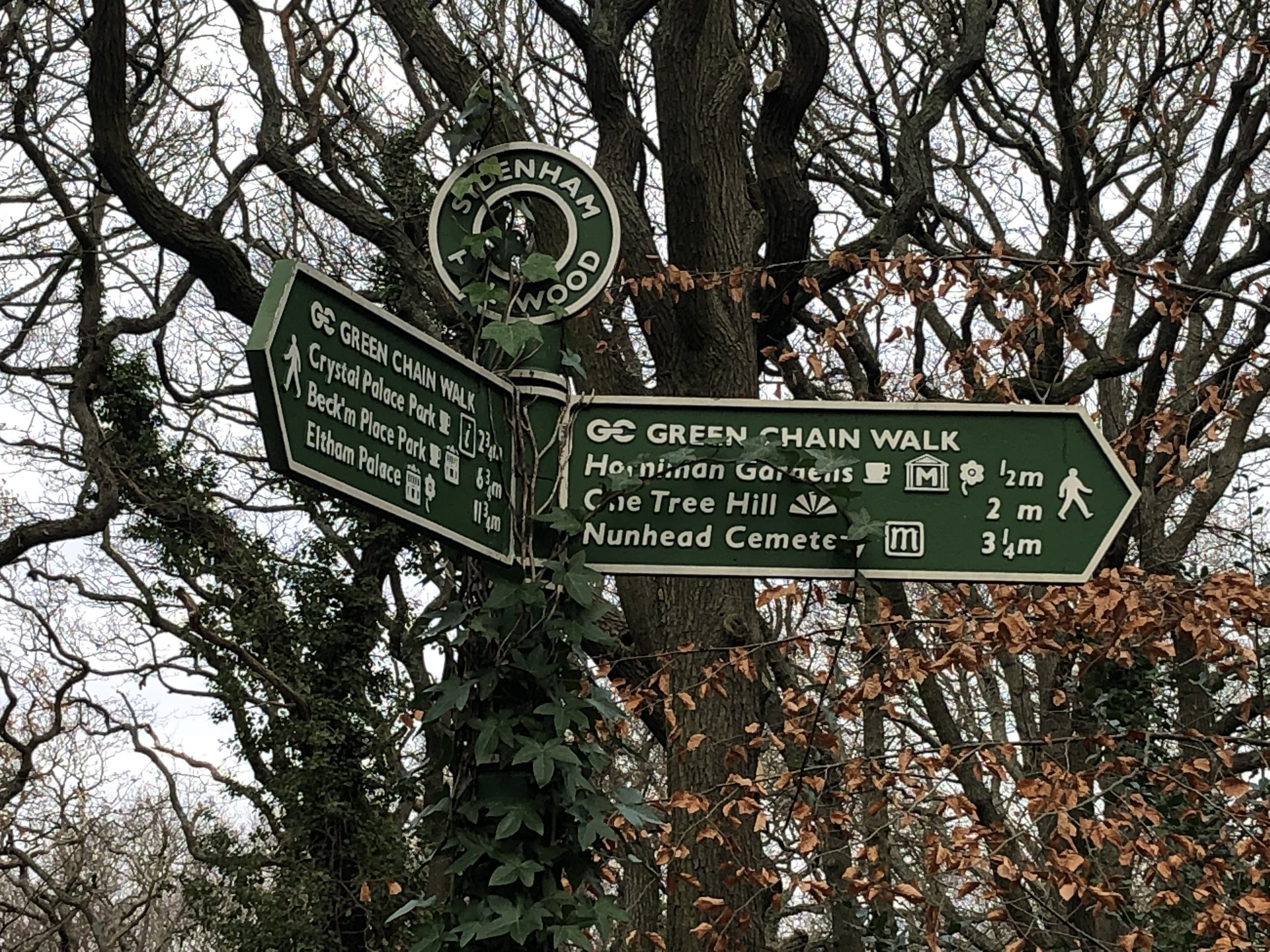
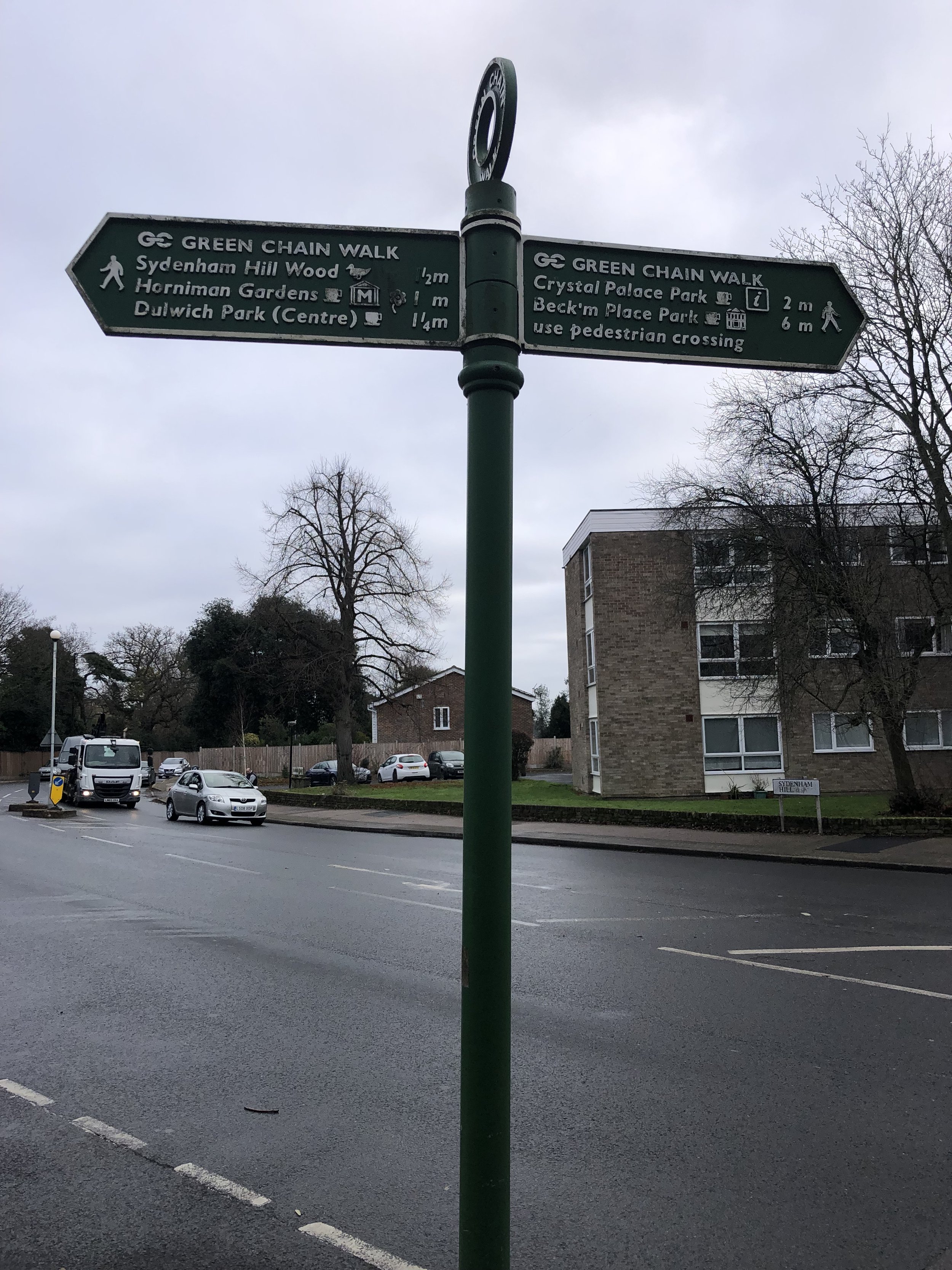
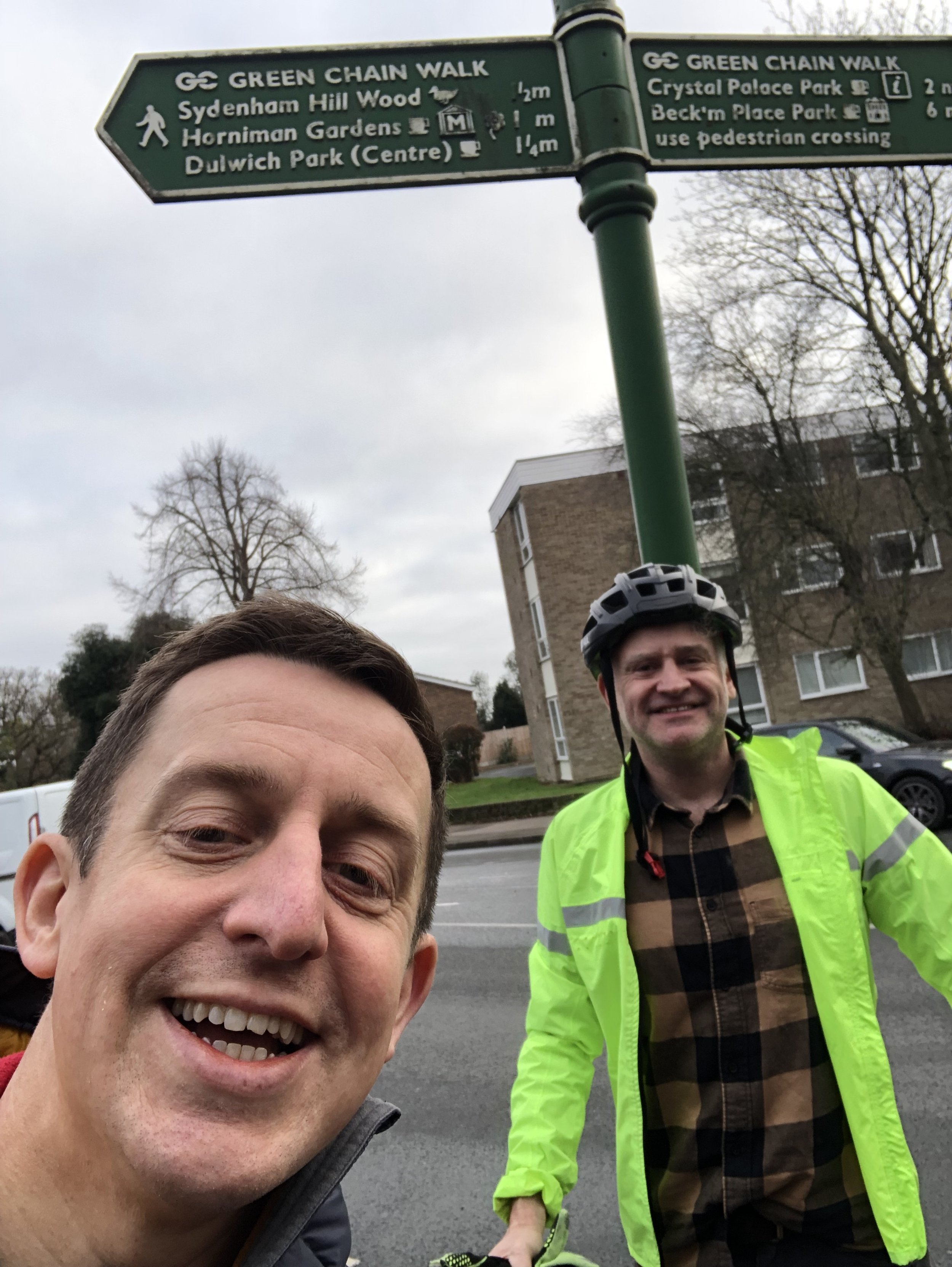
On route of: Green Chain Walk
Map: London South Map | Westminster, Greenwich, Croydon, Esher & Twickenham | Ordnance Survey | OS Explorer Map 161
Links: Wikipedia (Lewisham), Wikipedia (Southwark), Peakbagger
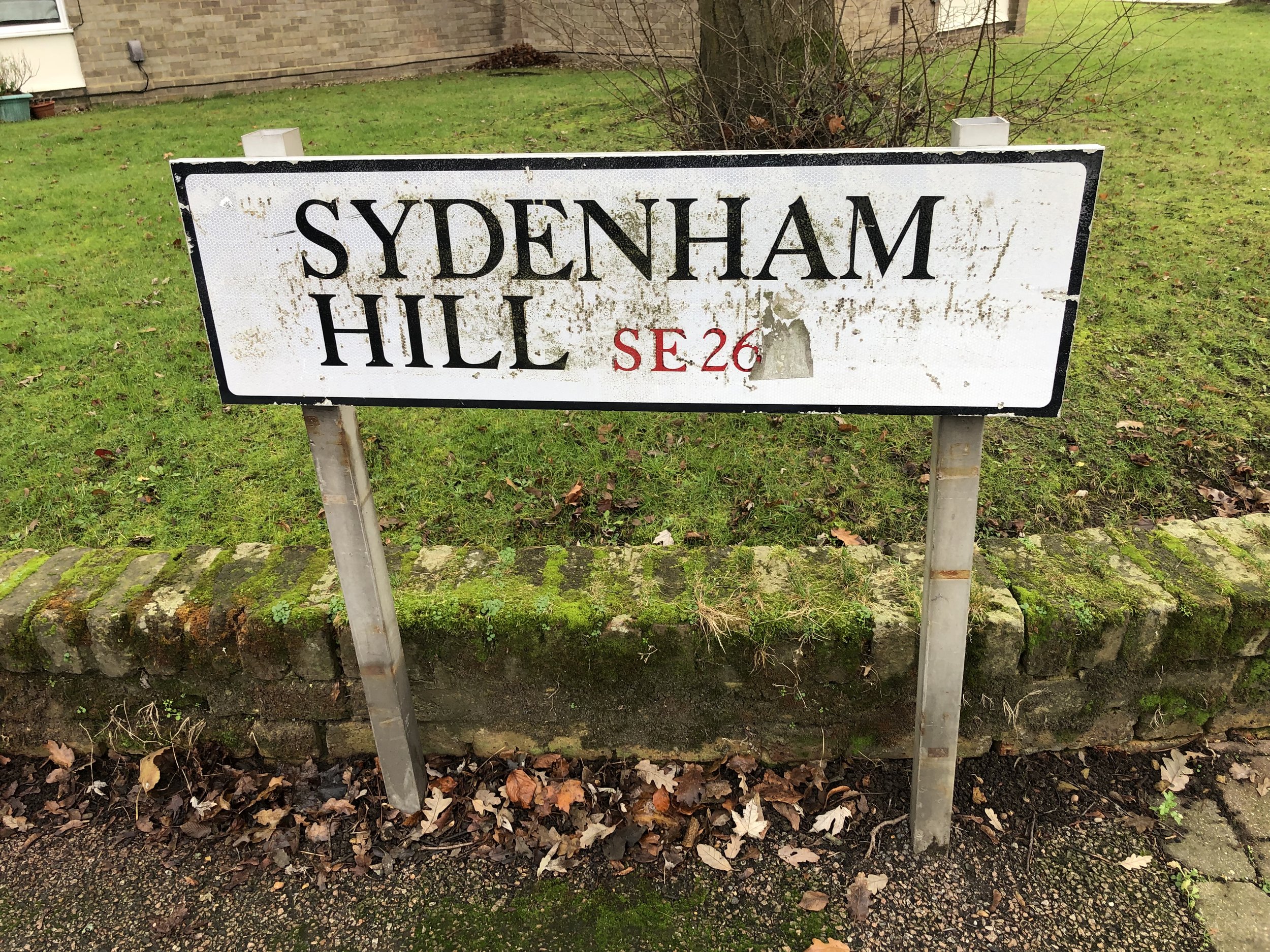
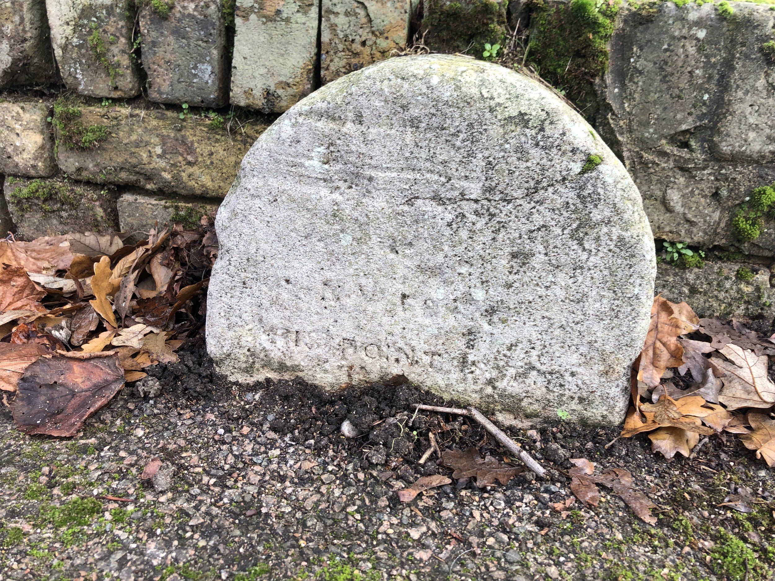
After Westow Hill, the Lambeth high point, it’s just 1.5 km up the Lewisham/Southwark border to get to the high point of both boroughs. Several Hillbagging logs count the Green Chain Walk sign at the junction of Sydenham Hill and Crescent Road as the high point. We also found a white engraved stone on the opposite side of Sydenham Hill (road) that may also be a clue. Most of the writing had eroded away but we could make out the word “point” near the base.
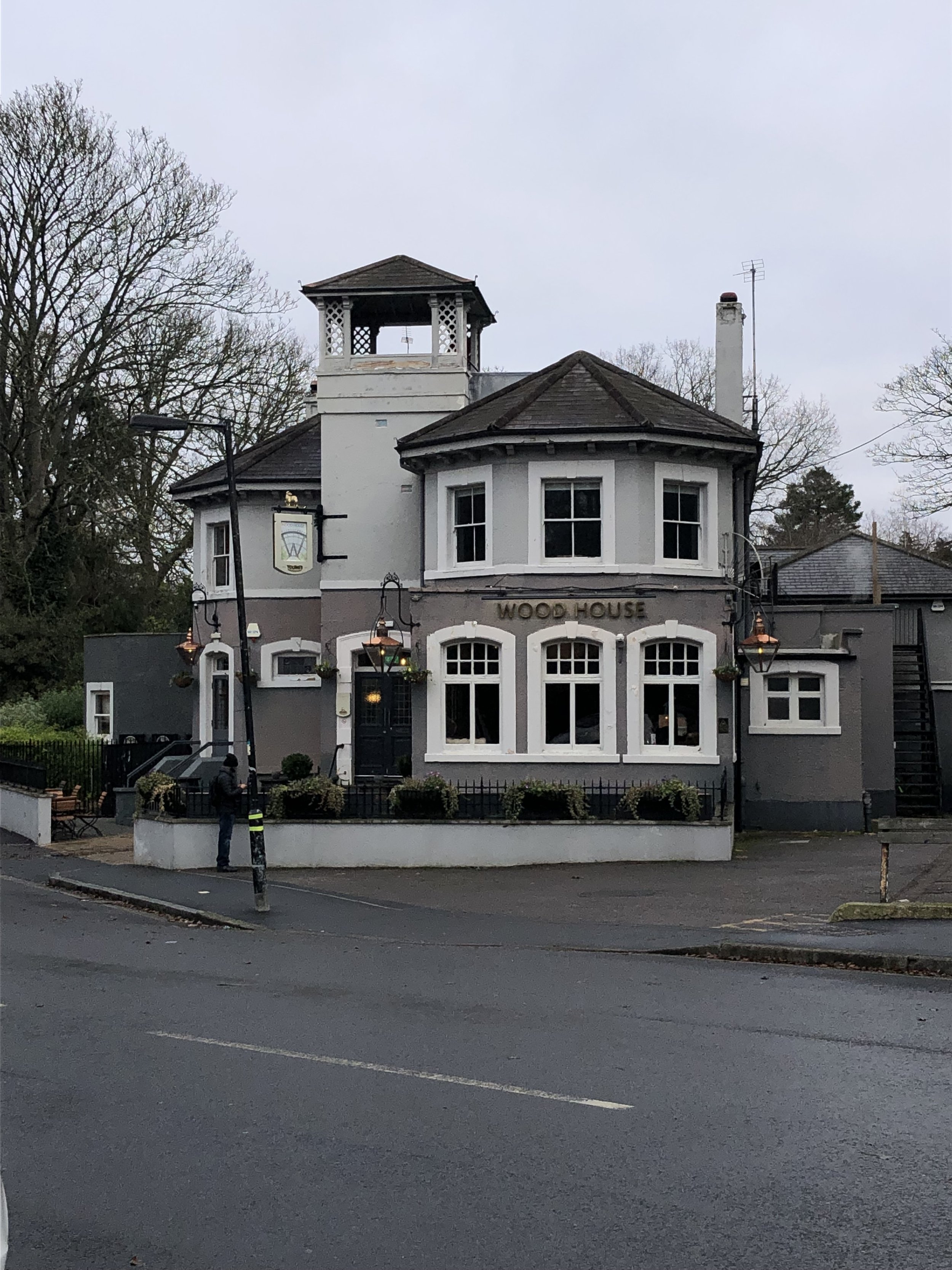
There's some argument over the name of this hill. One origin story has Sydenham taking its name from the Anglo-Saxon word Cippas, to mean 'drunkard's settlement' — somewhat aptly given the number of excellent pubs round the corner in Crystal Palace. Alternatively, if less evocatively, it may derive from the medieval term 'syp', meaning sheep. Others think it simply comes from a personal name, such as Cippa. Source: How London’s Hills Got Their Names).
Walk from Sydenham Hill Station to Sydenham Hill Summit
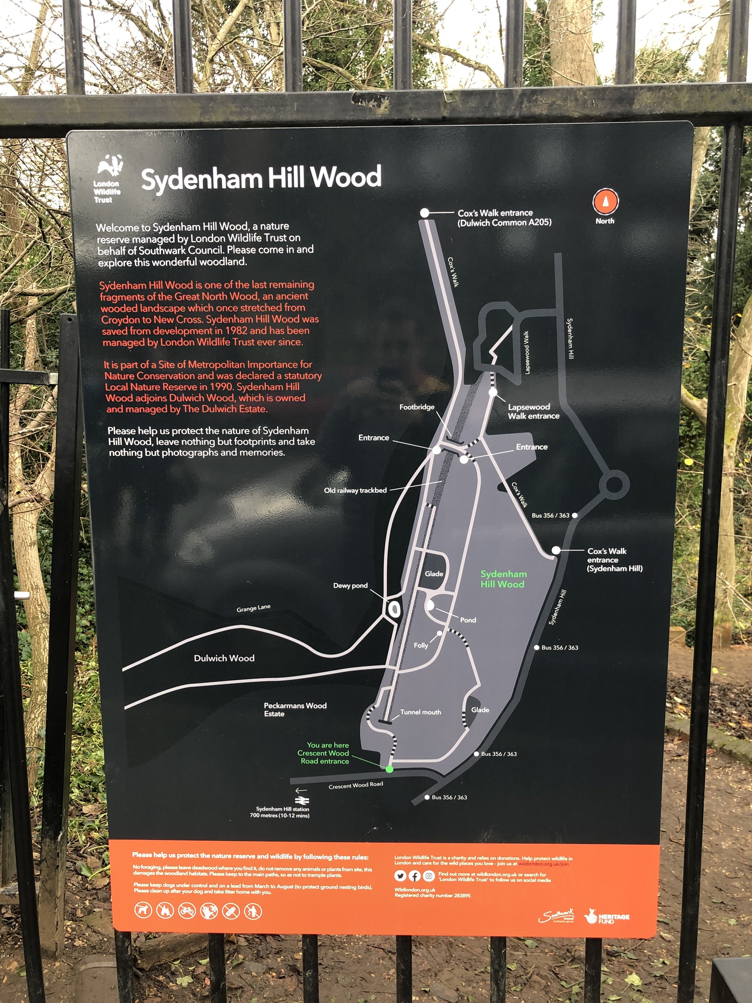
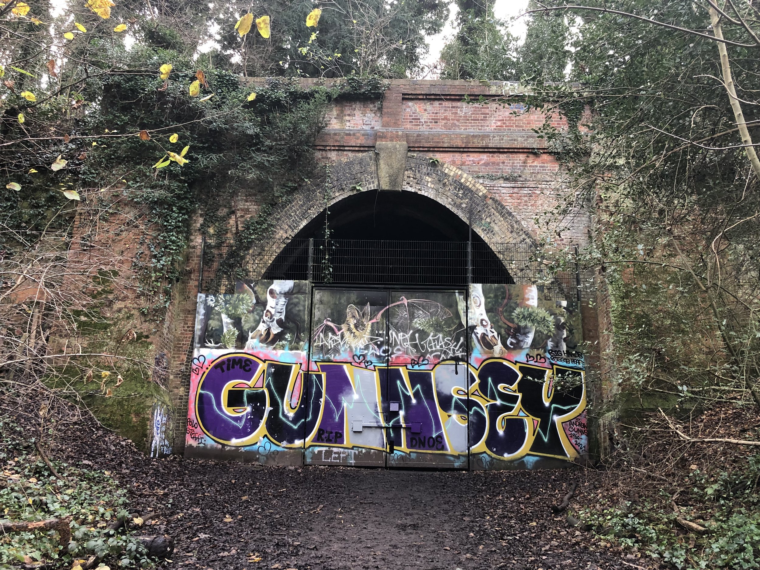
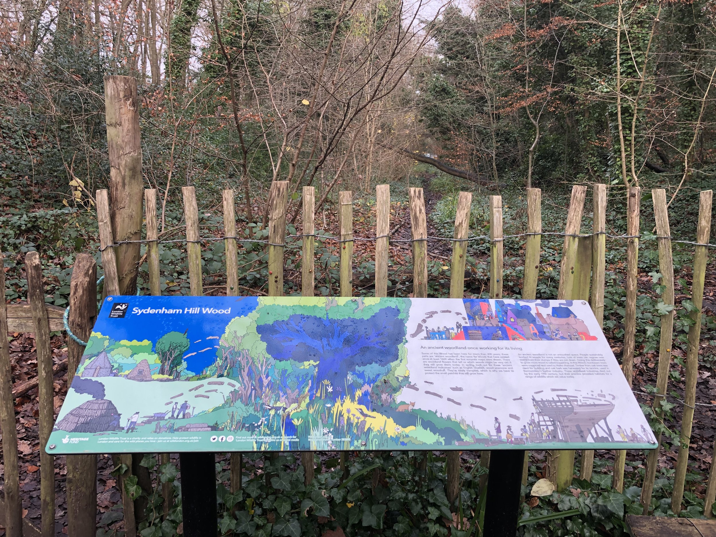
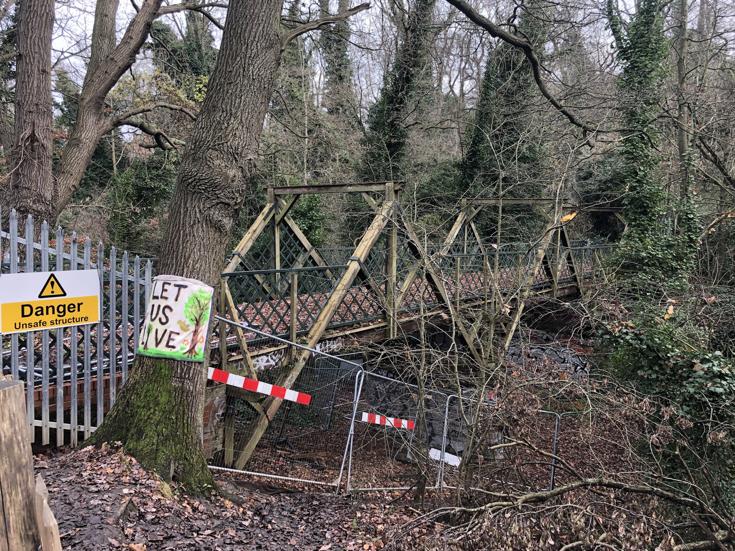
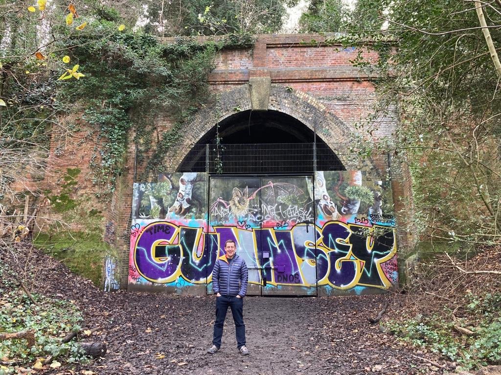
If you’re arriving by train to Sydenham Hill station, the best way to walk to the high point is via Sydenham Hill Wood and the old railway trackbed. This is the old route of the Crystal Palace and South London Junction Railway. When you reach Crescent Wood tunnel take the right hand path to Crescent Road. Take a right on the road and follow it south to the high point at the junction with Sydenham Hill.
Start: Sydenham Hill Station, London SE21 7ND
Finish: Sydenham Hill High Point, 51° 25' 57'' N, 0° 4' 20'' W
Distance: 575m (0.4 miles)
Elevation change: +44m
GPX File: get via Buy Me a Coffee
Other routes touched (walk): Green Chain Walk
Other routes touched (cycle): None
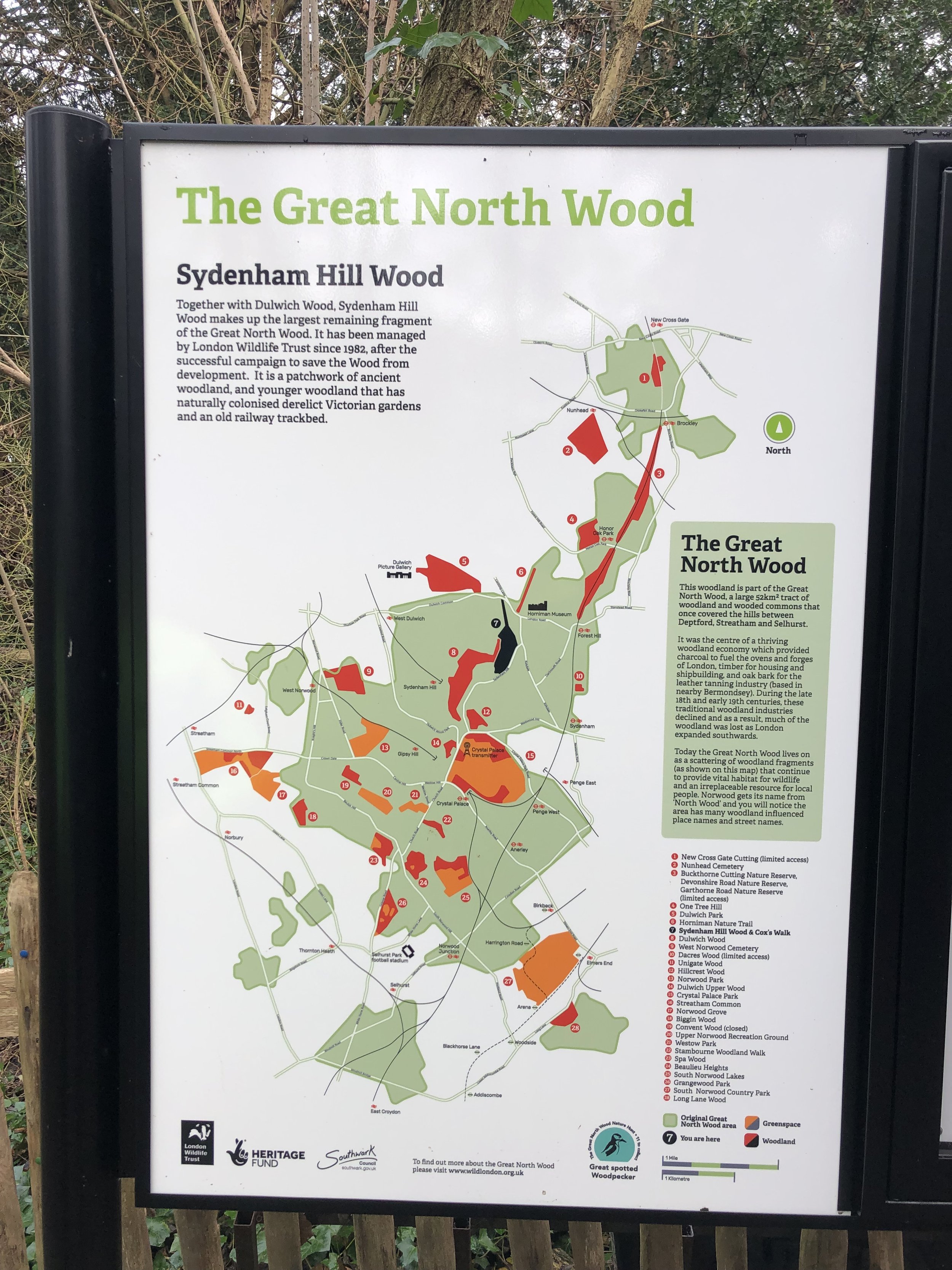
Links: Sydenham Hill Wood, Crystal Palace and South London Junction Railway