Westerham Heights: Bromley Borough High Point

Significance: Highest peak in London Borough of Bromley, Highest peak in Greater London (all 32 Boroughs)
Member of: N/A
Parent Peak: Botley Hill. NHN = Betsom’s Hill
Historic County: Kent (of which Betsom’s Hill is the County Top)
Elevation: 245m
Date “climbed”: 20th December 2021
Coordinates: 51° 17' 22'' N, 0° 3' 30'' E
Nearest Station: Oxted (Southern, Thameslink): 7.7 km
On route of: None. North Downs Way is 0.8 km to the south-east
Map: Sevenoaks & Tonbridge Map | Royal Tunbridge Wells & Westerham | Ordnance Survey | OS Explorer Map 147
Links: Wikipedia (Bromley), Peakbagger
Westerham Heights has been the highest natural point of Greater London since April 1st 1994. Prior to that the high point was on the northeastern slope of Botley Hill. A boundary change moved this point to Surrey where Leith Hill is higher.
Although I had already done Westerham Heights back in 2012, I had no memory of it at all. I had bagged it with a few friends while doing nearby Betsom’s Hill. My friend Mark’s log on Hillbagging even said I’d been there. I still couldn’t be sure though so I made a return trip on the way back to the M25 from Sydenham Hill.
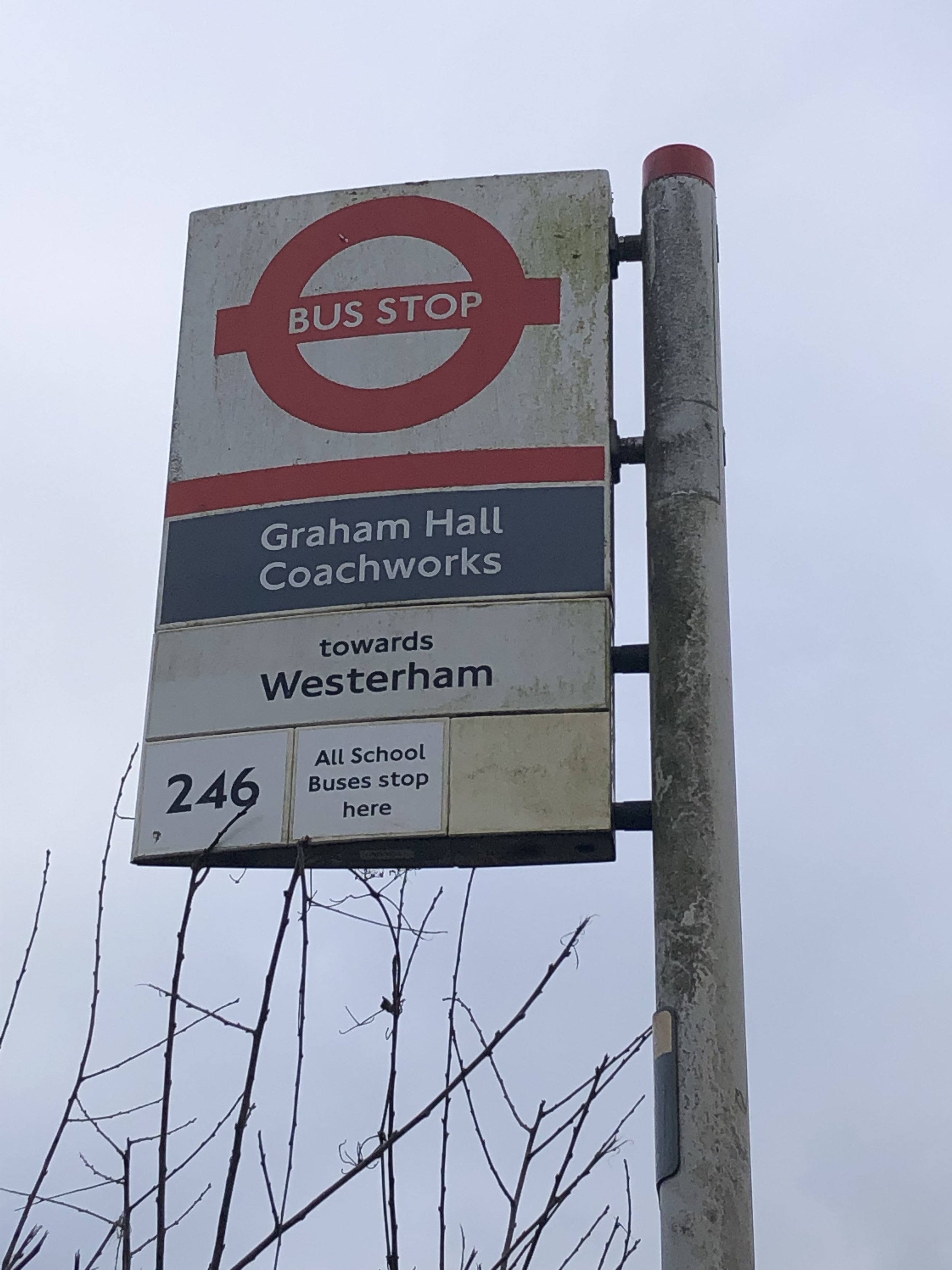
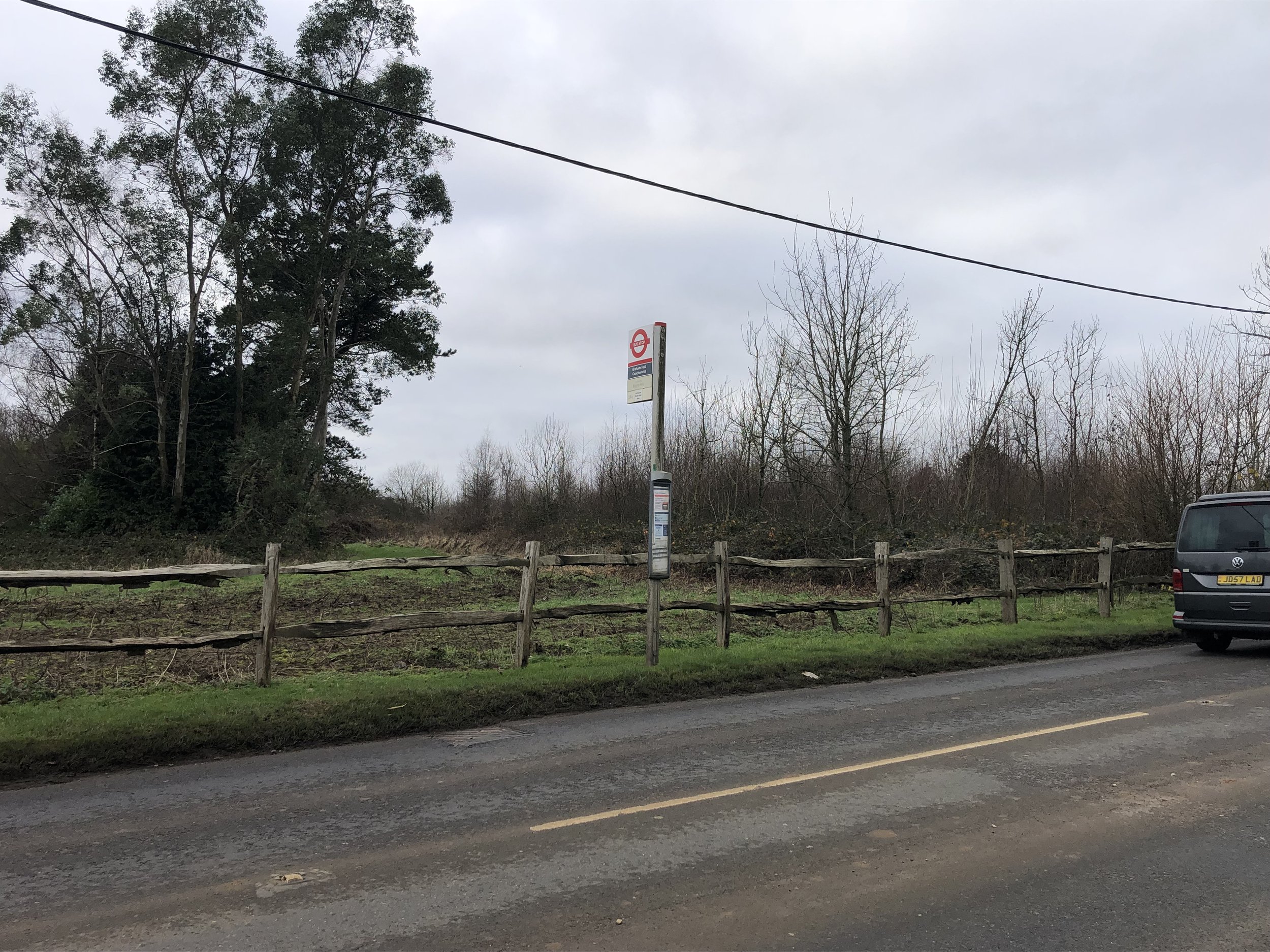
The high point is on the main road opposite Westerham House. You can park in the lane next to the house but be careful crossing the road as it’s very busy. I overshot the turning and packed in the next lane. This is also where the 246 bus stops. For London’s highest point, it’s another disappointingly dull one and there’s no view.
My favourite (and only so far) fact about Westerham Heights is that the top of The Shard is now the highest point in Greater London (thanks to Kevin Hyam for sharing this with me). The Observation Deck at the Shard is at 244m, just 1m lower than Westerham Heights. The total height of The Shard, is 309.6m.