Heston The Vale: Hounslow Borough High Point

Significance: Highest peak in London Borough of Hounslow
Member of: N/A
Parent Peak: Botley Hill. NHN = Richmond Park
Historic County: Middlesex (of which Bushey Heath is the County Top)
Elevation: 35m
Date “climbed”: 20th December 2021
Coordinates: 51° 29' 11'' N, 0° 23' 3'' W
Nearest Station: Hounslow West (Piccadilly Line): 1.7 miles
On route of: N/A. The London Loop is 2.7 km to the south-west
Map: London South Map | Westminster, Greenwich, Croydon, Esher & Twickenham | Ordnance Survey | OS Explorer Map 161
Links: Wikipedia (Hounslow), Peakbagger
For my Greater London High Point adventure I saved the closest, if not the best, for last. As the nearest to where I live I held this one back for a quick trip on a rainy day. That never really happened so I bagged it on the way back from Westerham Heights.
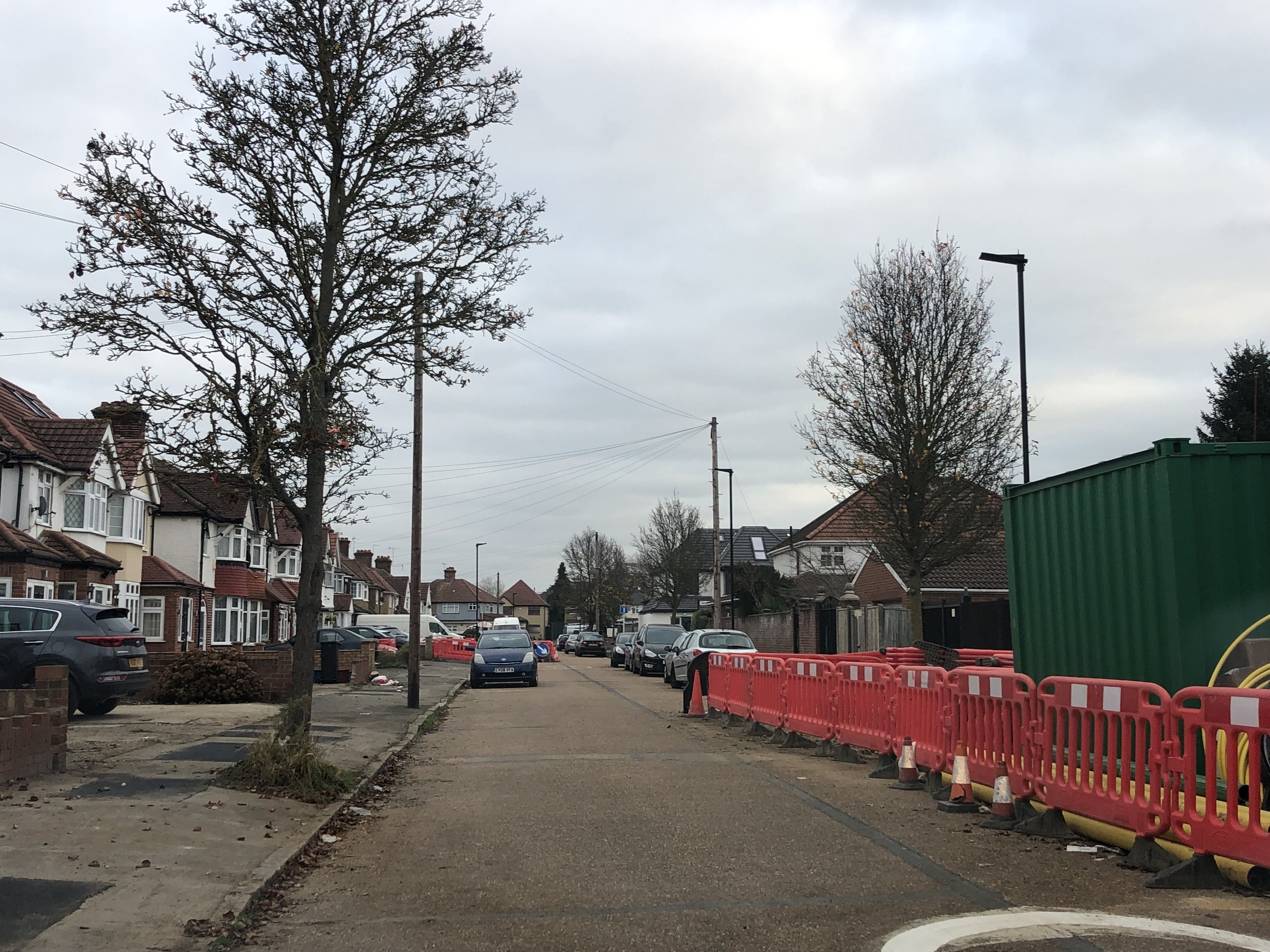
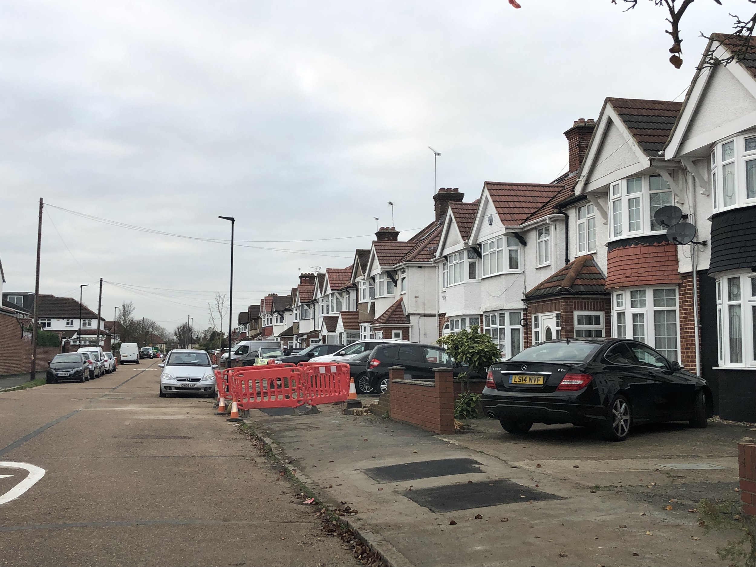
Not much to see here: it’s a quiet residential road parallel to the M4 and close to the service road to Heston Services. The high point appears to be near the junction with Meadow Way. It’s so flat though, it could be anywhere.