Chiltern Walks: Henley, Middle Assendon and Lambridge Wood

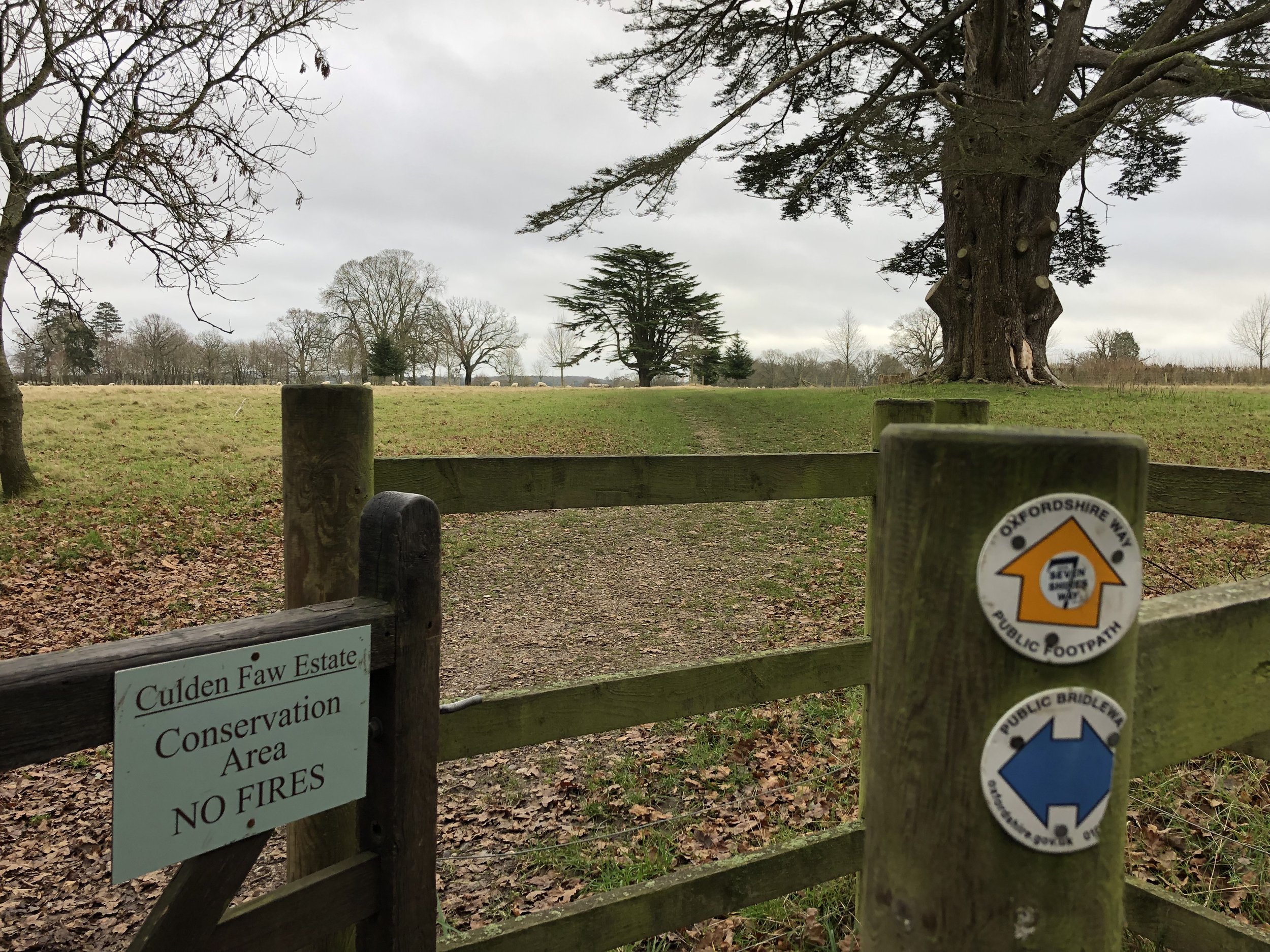
Gate to the Culden Faw Estate on the Oxfordshire Way
Start & Finish: Henley Bridge, White Hill, Henley-on-Thames, RG9 3HG
Distance: 10.9 km (6.8 miles)
Elevation change: +/- 185m
Oxfordshire Way Section Covered: Henley on Thames to Middle Assendon: 4.7 km
GPX File: get via Buy Me a Coffee
Other routes touched (walk): Oxfordshire Way, Thames Path
Other routes touched (cycle): Chilterns Cycleway
Pubs / Cafes on route: Lots in Henley Town centre, plus The Rainbow Inn (4.7km in)
Map: Chiltern Hills West Map | Henley-on-Thames & Wallingford | Ordnance Survey | OS Explorer Map 171
Links: Henley-on-Thames, Middle Assendon, Bix, Nettlebed, Lambridge Wood
For our latest Chiltern Walk we returned to Henley to start the Oxfordshire Way. This is a 66 mile long-distance path connecting Bourton-on-the-Water in the Cotswolds with Henley-on-Thames. Our plan is to start with the Chilterns section, taking it on in short circular walks of around 10km. The guidance below will help you navigate but don’t use it as a fully accurate turn-by-turn guide. Always take a map and/or a GPX route and prepare well for the weather and terrain.
This first section starts at Henley Bridge, where the Oxfordshire Way meets the Thames Path. From here, walk up Hart Street in a westerly direction and turn right onto Bell Street. Continue along Bell Street until the mini-roundabout, crossing this onto Northfield End. After 300m, and 1km into the route, take the footpath on the right, following it diagonally up the hill to a wooded area.
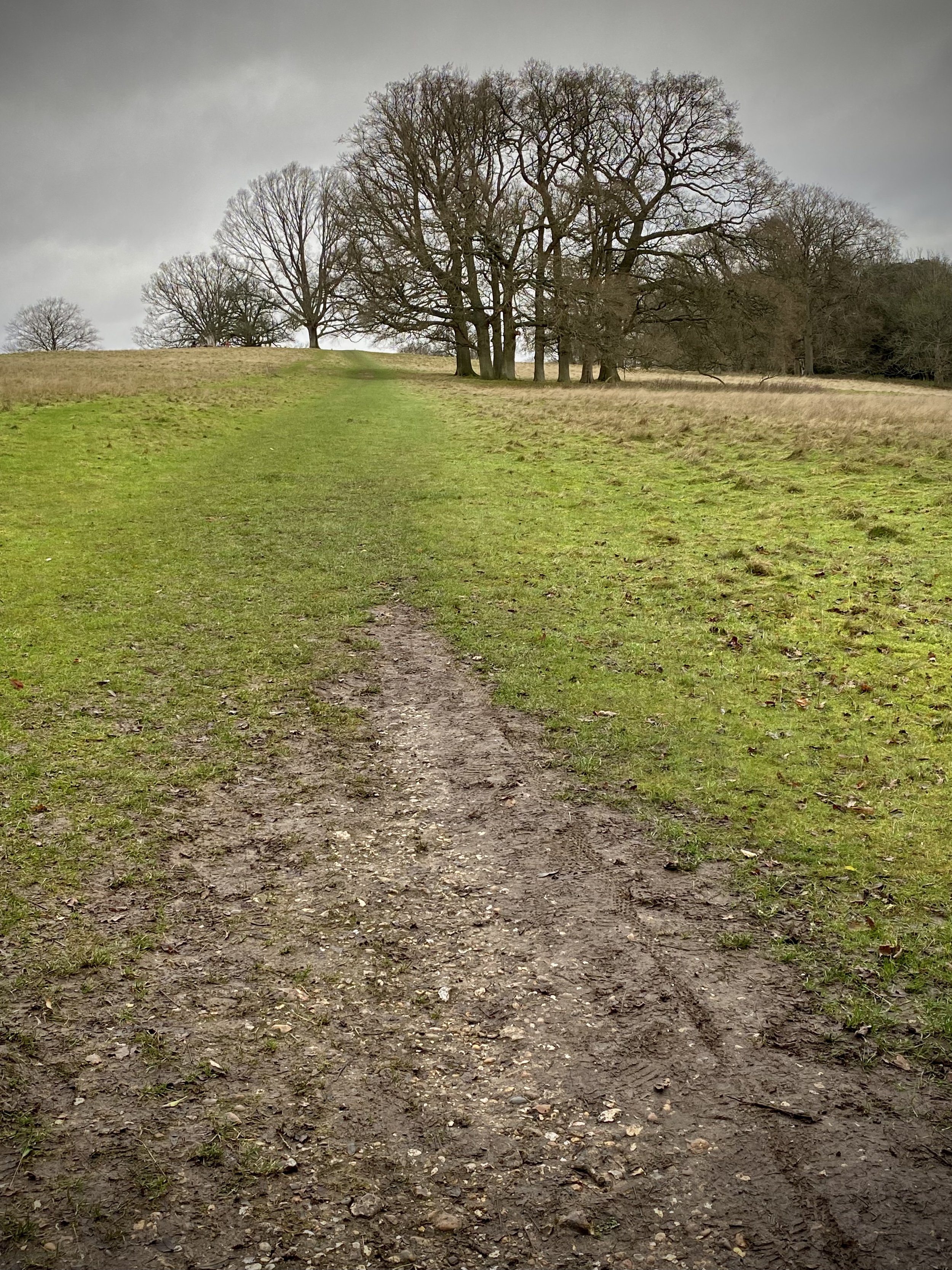
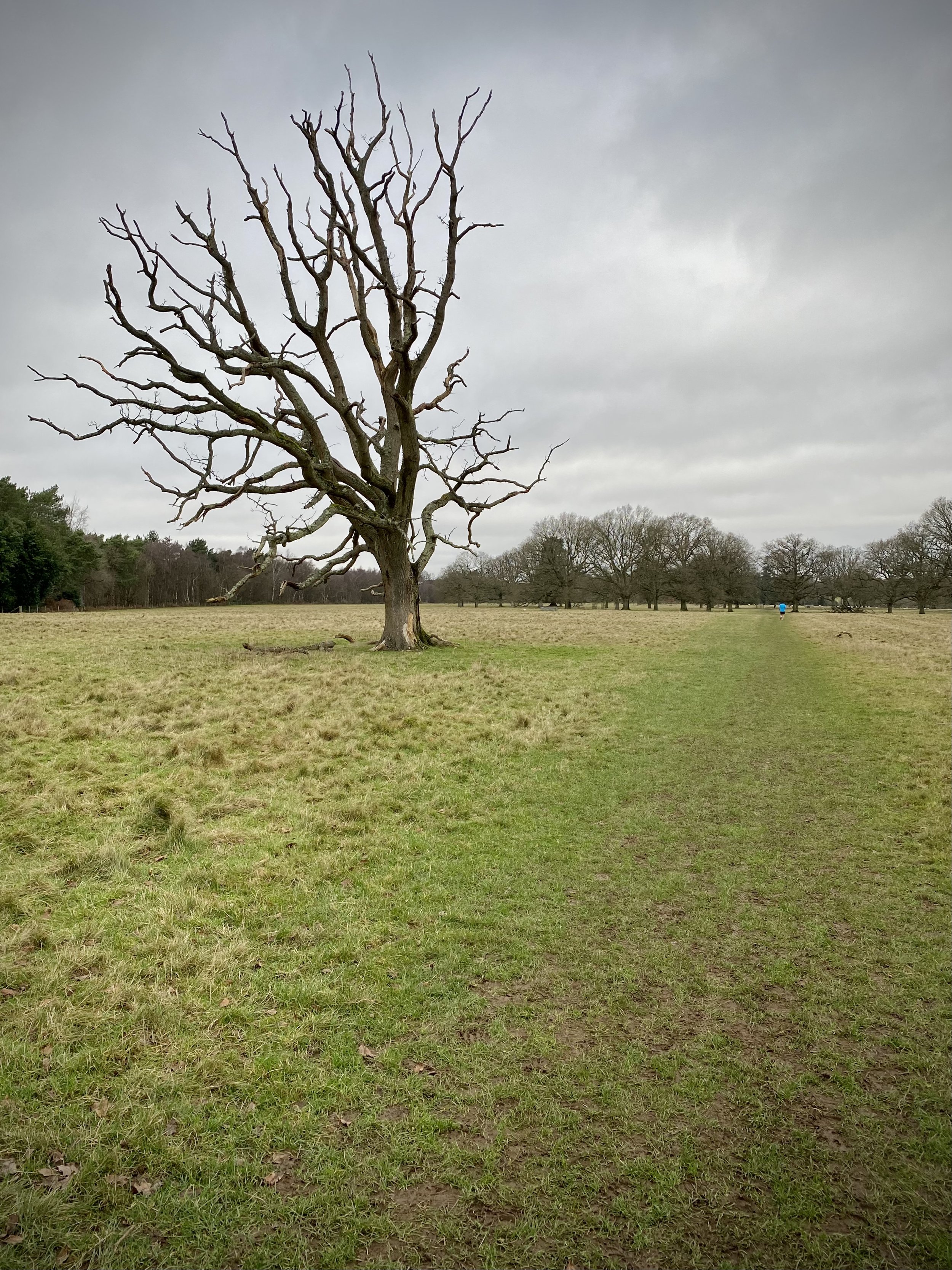
Follow the Oxfordshire Way for 3.5km through the Culden Faw Estate and other farmland until you reach the B480 at Middle Assendon. Take a right onto the B480 and find the footpath to the left hand side of the Rainbow Inn pub. Here you’ll leave the Oxfordshire Way for this section. See the Middle Assendon, Bix and Crocker End Circular walk for the next section.
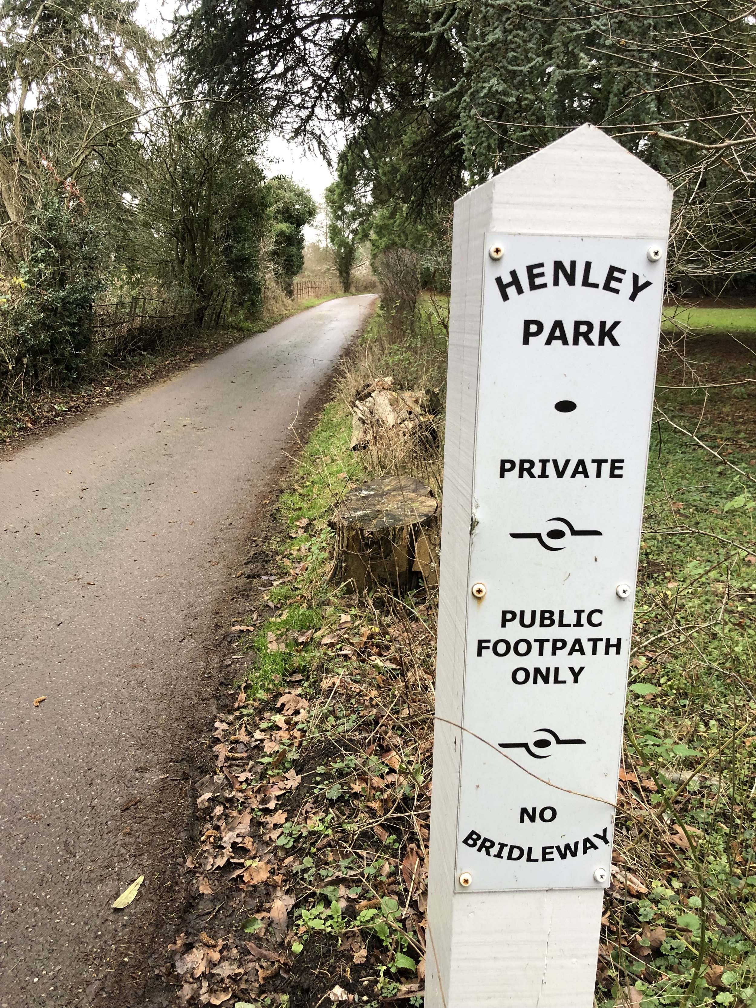
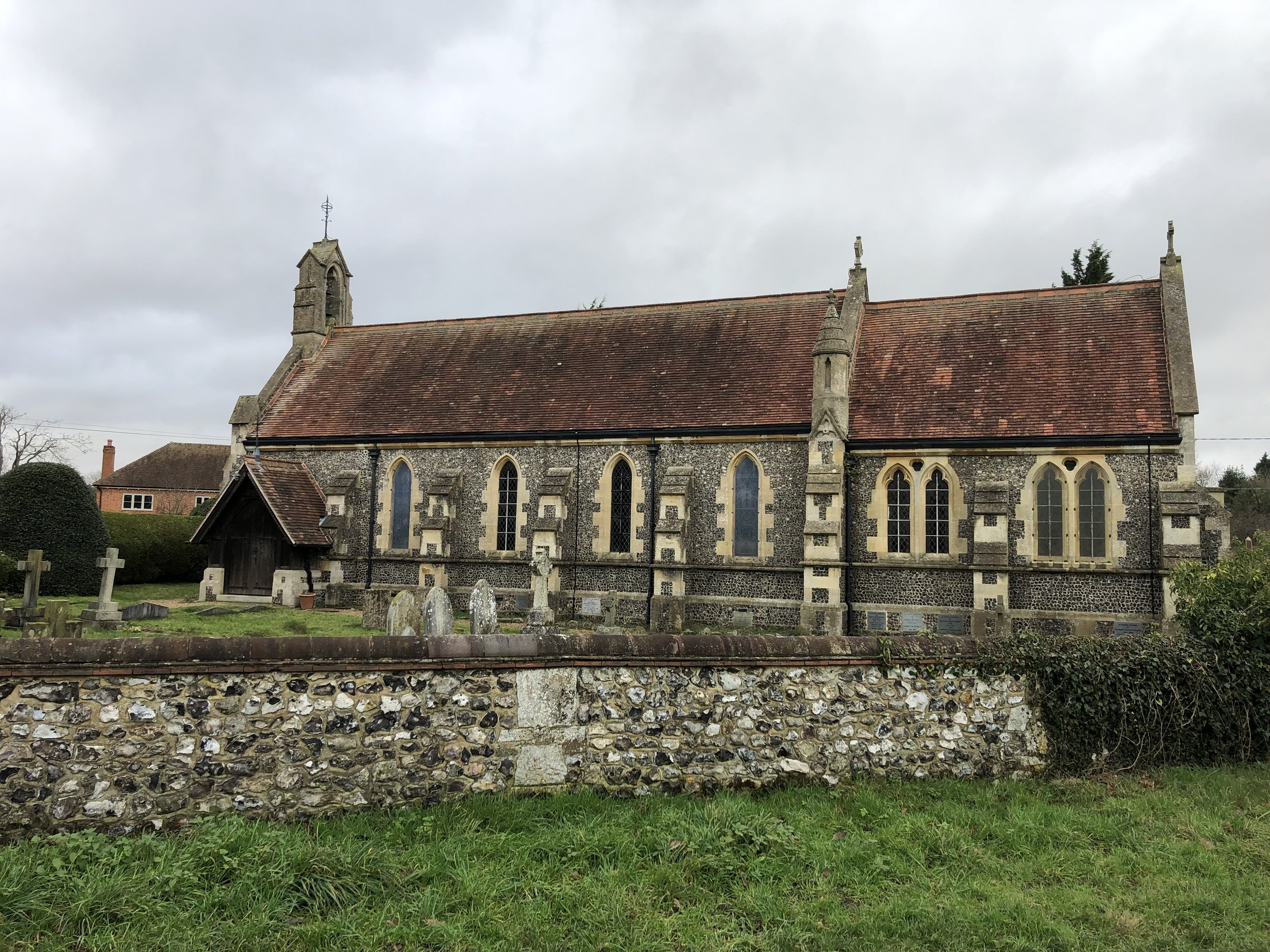
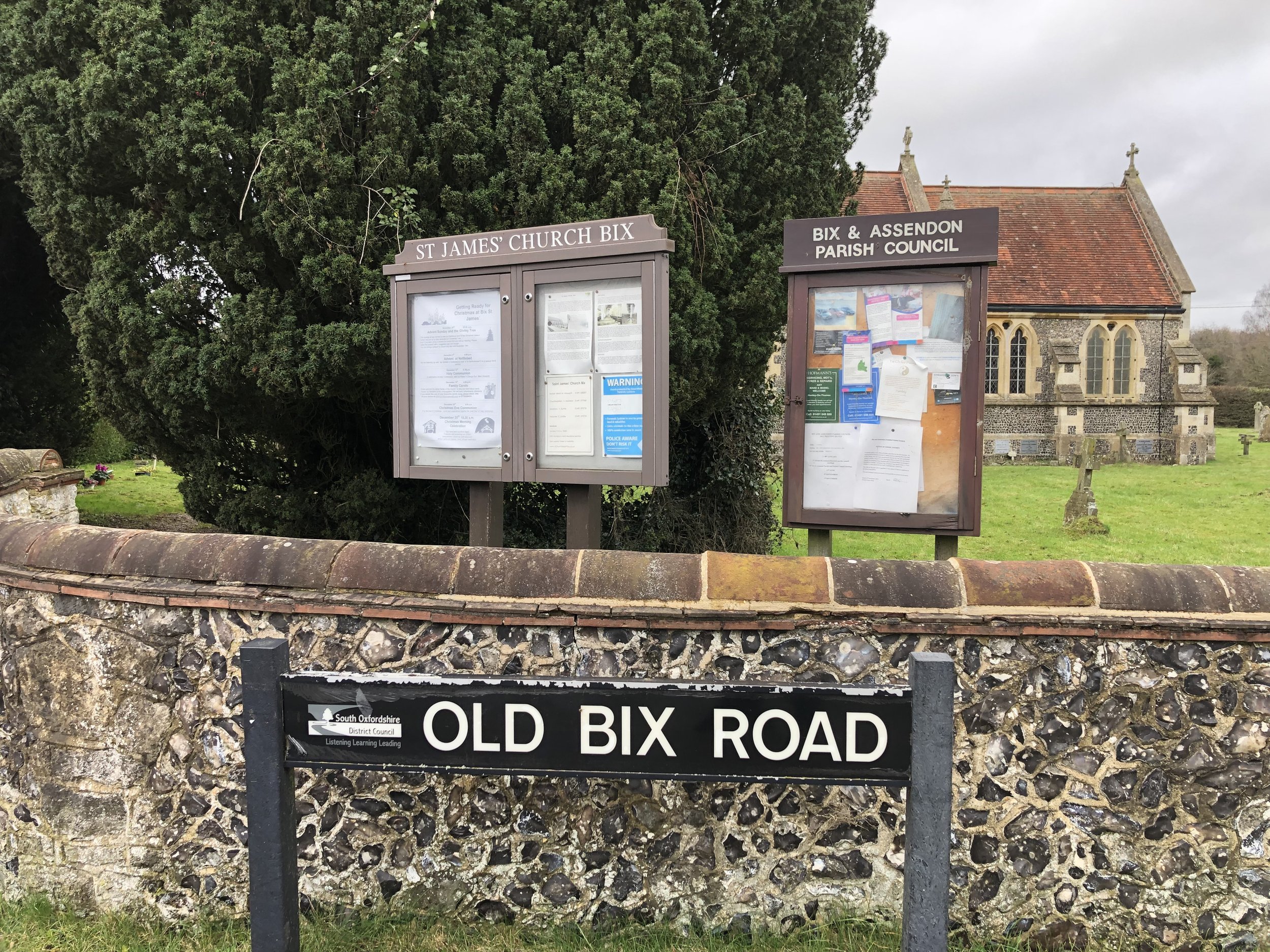
Follow the path from the Rainbow Inn in a westerly direction as it takes you onto White Lane and Rectory Lane along the edge of Bix Common Field. Cut across the Common to the Church of St James, Bix and take Rectory Lane south, carefully crossing over the busy A4130 to continue following the road past Bix Manor. Approximately 800m from the A4130 you’ll leave the road when it curves to the right and take the footpath into Lambridge Woods. Continue in a south-easterly direction through the woods and across Badgemore Park Golf Club to Lambridge Road. It’s easy to get lost in the maze of paths through Lambridge Woods so a GPX route is useful here.
When Lambridge Road takes a sharp turn to the right, take the left hand footpath leading to Crisp Road. From here there’s a few options to navigate through the houses to return to Hart Street and back to Henley Bridge. We took Crisp Road / Hop Gardens / Mount View then through the Waitrose Car Park.


Oxfordshire Way next section (north): Middle Assendon, Bix and Crocker End