Langdon Shaw: Bexley Borough High Point

Significance: Highest peak in London Borough of Bexley
Member of: N/A
Parent Peak: Botley Hill. NHN = Shooters Hill
Historic County: Kent (of which Betsom’s Hill is the County Top)
Elevation: 83 to 93m (10-meter closed contour)
Date “climbed”: 20th November 2021
Coordinates: 51° 25' 18'' N, 0° 5' 44'' E
Nearest Station: Sidcup (southeastern rail): 1.7 km
On route of: N/A. The London Loop is 1 km to the east
Map: Greenwich & Gravesend Map | East End, Docklands, Bromley, Sidcup & Thurrock | Ordnance Survey | OS Explorer Map 162
Links: Wikipedia (Bexley), Peakbagger
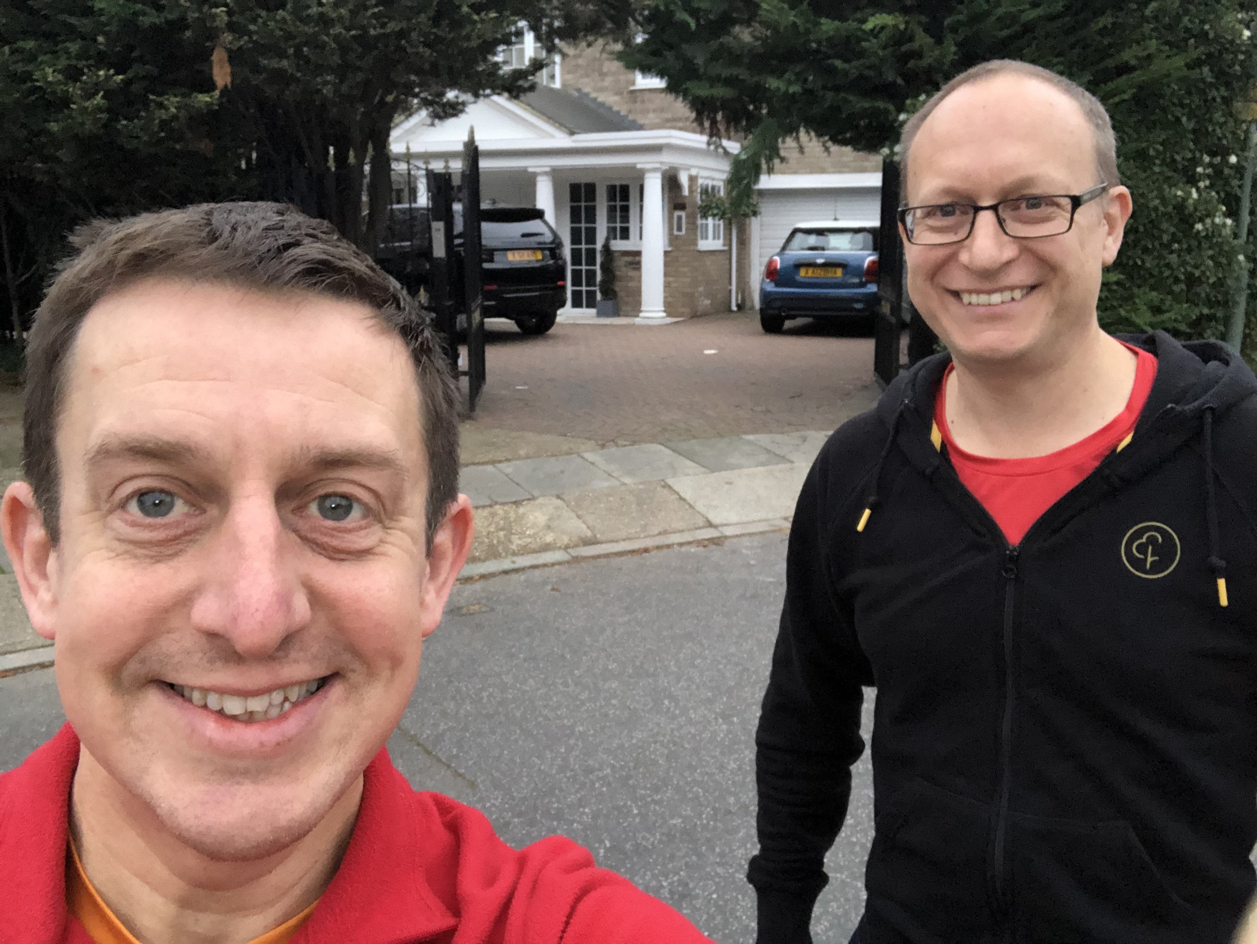
This was another dull drive-by and a long way from home so I needed another reason get out that way. Luckily there was a new parkrun at Sutcliffe that started in September 2021. I bagged Bexley as a very short diversion on the way.
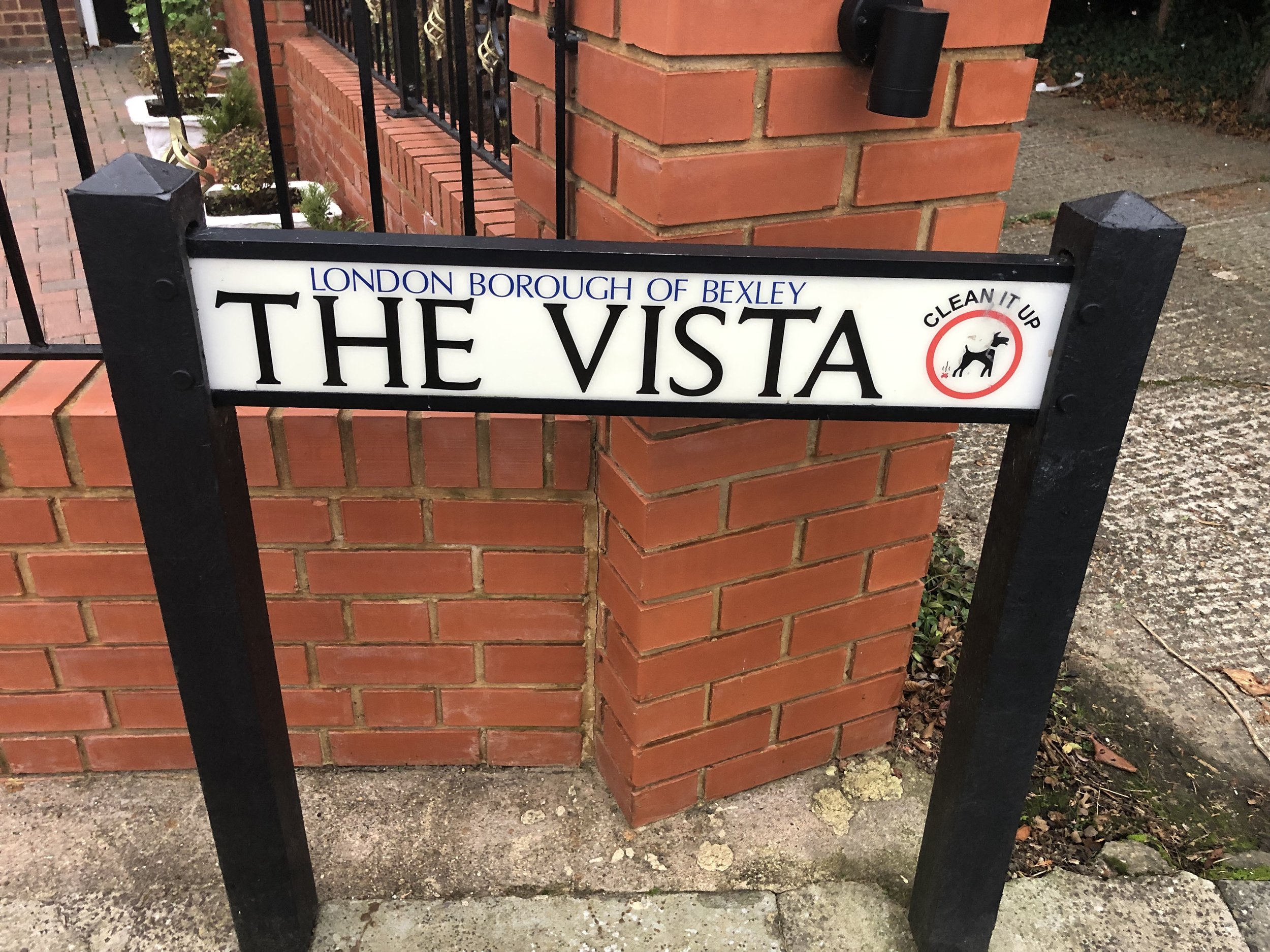
The high point is in the grounds of the house in the corner of Langdon Shaw called Shalamar, on the corner of a small road called The Vista. This can also be visited on a small diversion from The London Loop between Foots Cray and Scadbury Park or a 2km walk from Sidcup Station.