Walking The Capital Ring: Harrow on the Hill to Horsenden Hill
Including the London Borough High Points of Brent and Ealing

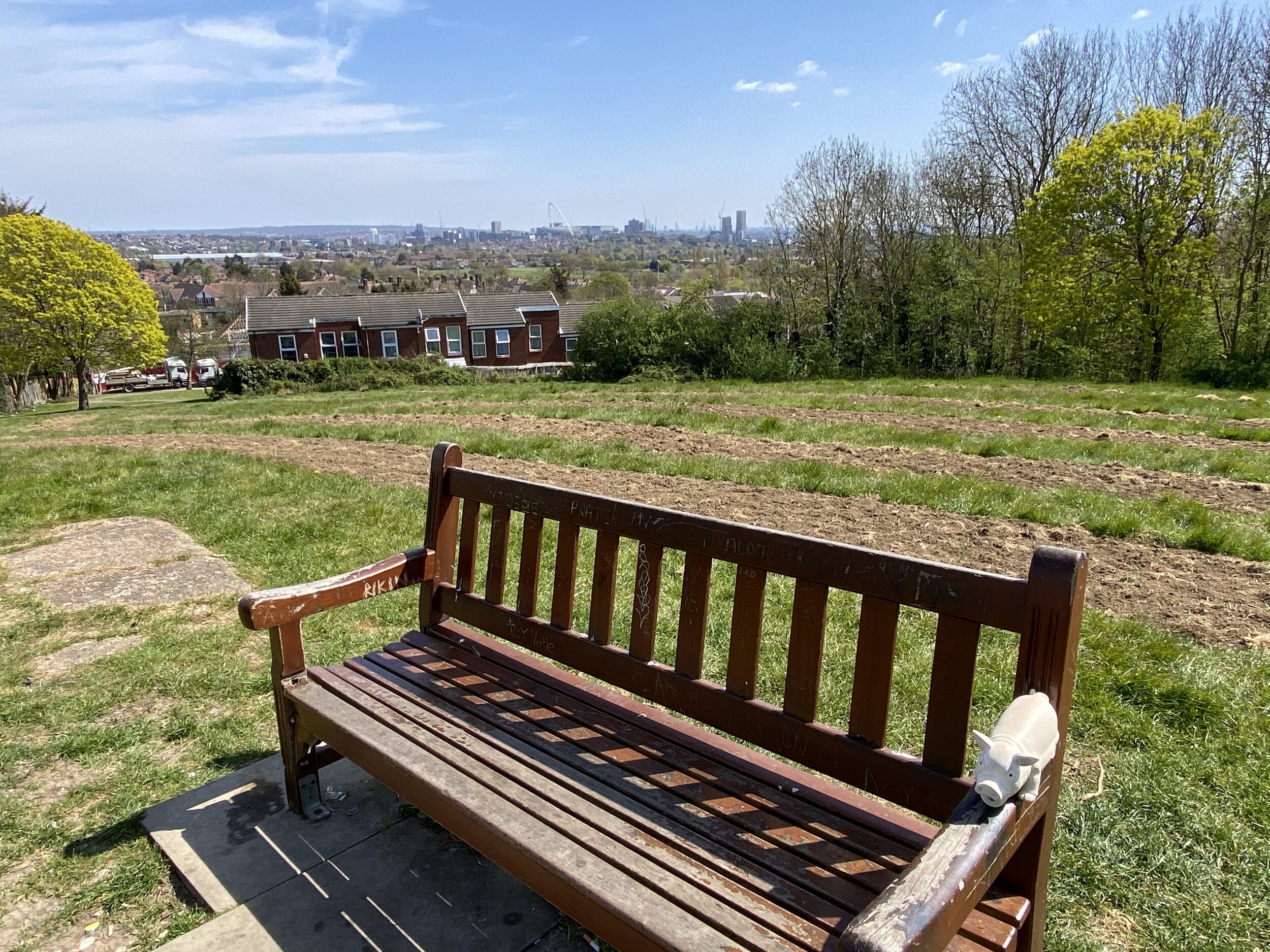
View to Wembley and the city from Sudbury Hill

Start: Harrow on the Hill Station, Station Approach, Harrow, HA1 1BB
Finish: Perivale Station, Horsenden Lane North, Perivale, Greenford, UB6 8AE
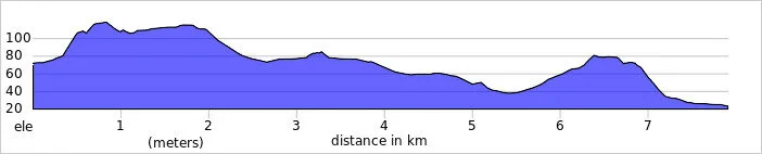
Distance: 7.9 km (4.9 miles)
Elevation change: +96m /- 146m. Net -50m
GPX File: get via Buy Me a Coffee
Other routes touched (walk): The Capital Ring, Grand Union Canal Paddington Arm
Other routes touched (cycle): N/A
Pubs / Cafes on route: Several on Harrow on the Hill High Street and around Sudbury Hill stations
Map: OS Explorer Map (173) London North, The City, West End, Enfield, Ealing, Harrow & Watford
Guidebook: Capital Ring (National Trail Guides) by Colin Saunders
Links: Harrow on The Hill, St Mary’s Church Harrow on the Hill, Sudbury Hill, Horsenden Hill
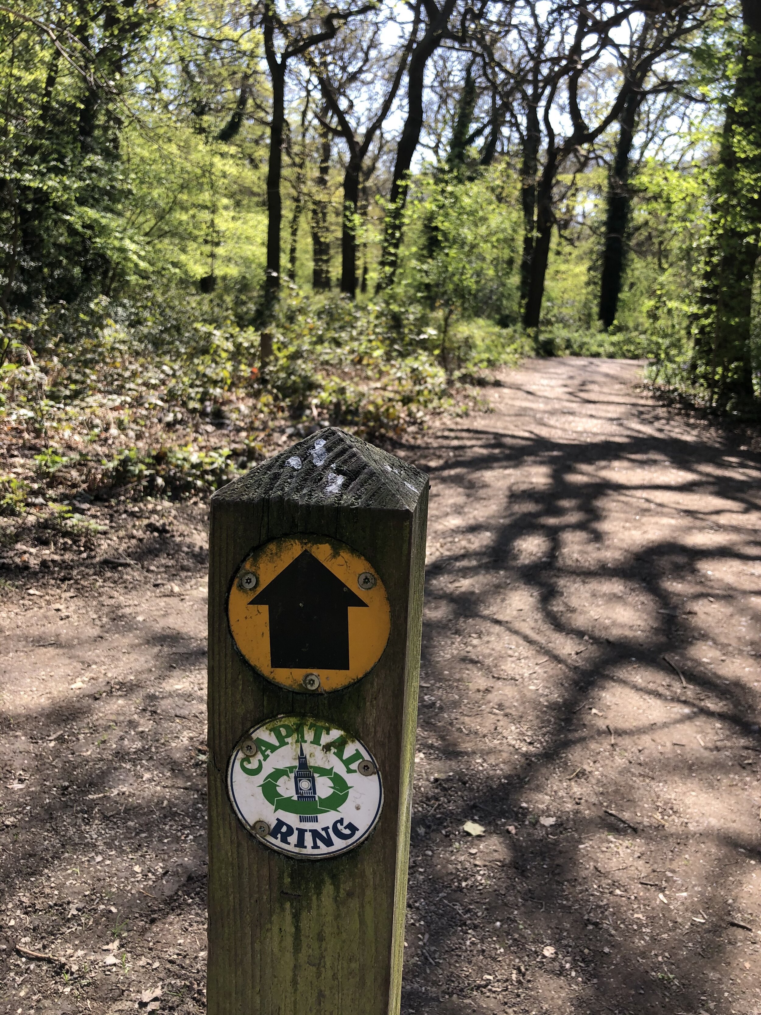
This route mostly follows the Capital Ring with a couple of short diversions to bag the high points of the London Boroughs of Brent and Ealing.
The map and route details above describe a route from Harrow on the Hill to Perivale Stations. A return trip by public transport would take you to from Perivale to Northolt by train then a bus to Harrow on the Hill. We had 2 cars for the trip so we were able to park one car at by St Mary’s Church, Harrow on the Hill and another at Horsenden Farm, both free at the time we went. This reduced the trip distance by about 1 km.
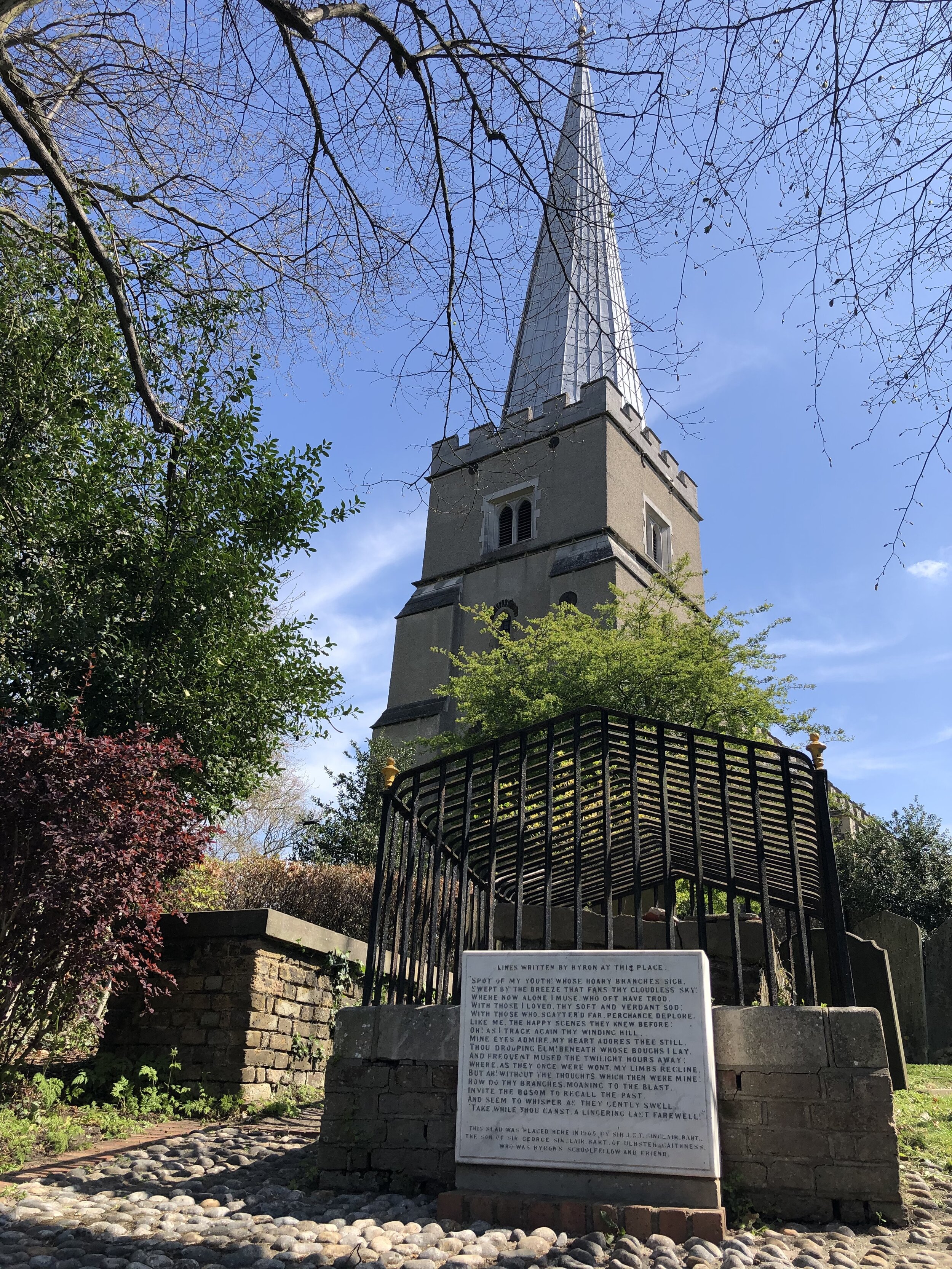
From Harrow on the Hill Station, walk south along Station Approach, taking a left onto Lowland’s Road (A404) and then cut south across The Grove Open Space. At the south end of the park you’ll follow the Capital Ring Link up to Lord Byron’s view in the grounds of St Mary’s Church. This is the top of Harrow Hill at 124m. It’s not the high point of Harrow, though as that’s Bushey Heath to the north. The name is thought to come from the Old English for 'heathen temple'. Its remains may well stand beneath St Mary's church, whose spire can be seen for miles around (source: How London’s Hills Got Their Names).
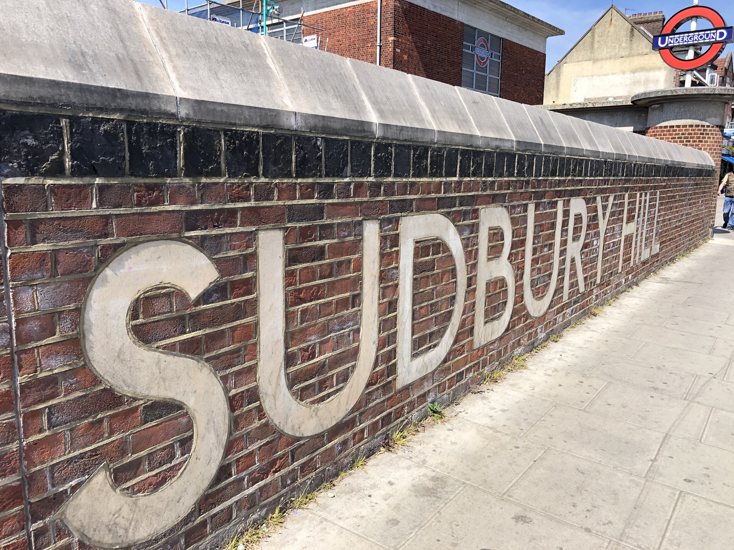
When exiting St Mary’s Church, walk south down Church Hill to High Street. You’ll now be on the Capital Ring which you’ll follow for most of the trip. When the Capital Ring leaves Sudbury Hill road at South Hill Avenue, keep walking down Sudbury Hill. At the intersection of Sudbury Hill, Greenford Road, Harrow Road and Sudbury Court Drive, take a left onto Sudbury Court Drive. Take the first right onto Sudbury Court Road then the footpath into Sudbury Hill Park. You can’t miss the tree that marks the (alternative) highest point in Brent.
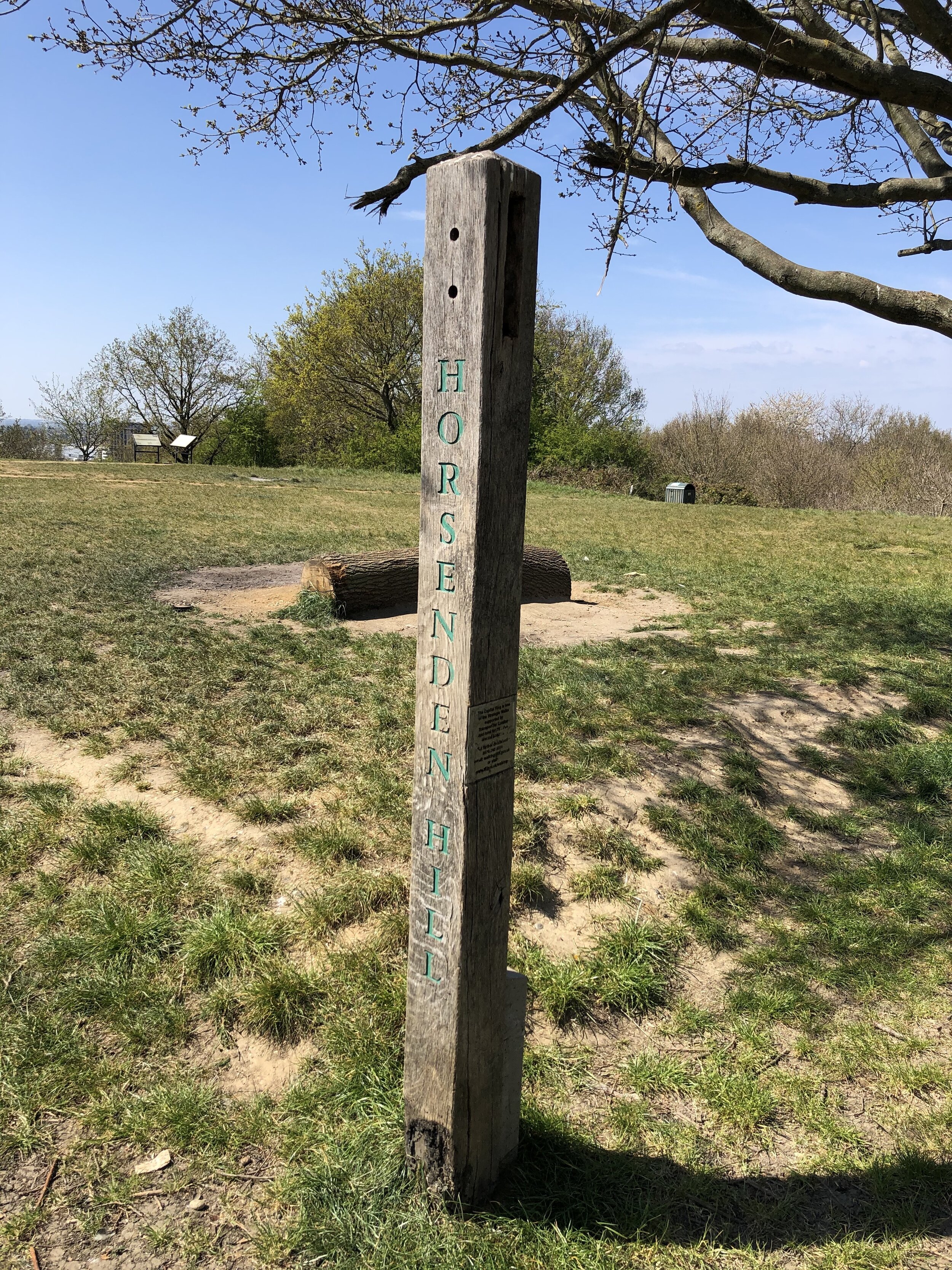
Take a moment to rest on the benches that are strangely turned away from the view before retracing your steps to the intersection. Continue south-west along Greenford Road, rejoining the Capital Ring at Sudbury Hill Harrow Station. Continue along the Capital Ring to the bridge over the Grand Union Canal, bagging the Trig Pillar at Horsenden Hill along the way. The car park at Horsenden Farm, next to the Grand Union, was our end point for the trip. If you’re finishing at Perivale station, cross over the Grand Union and keep walking down Horsenden Lane South for ~600m.

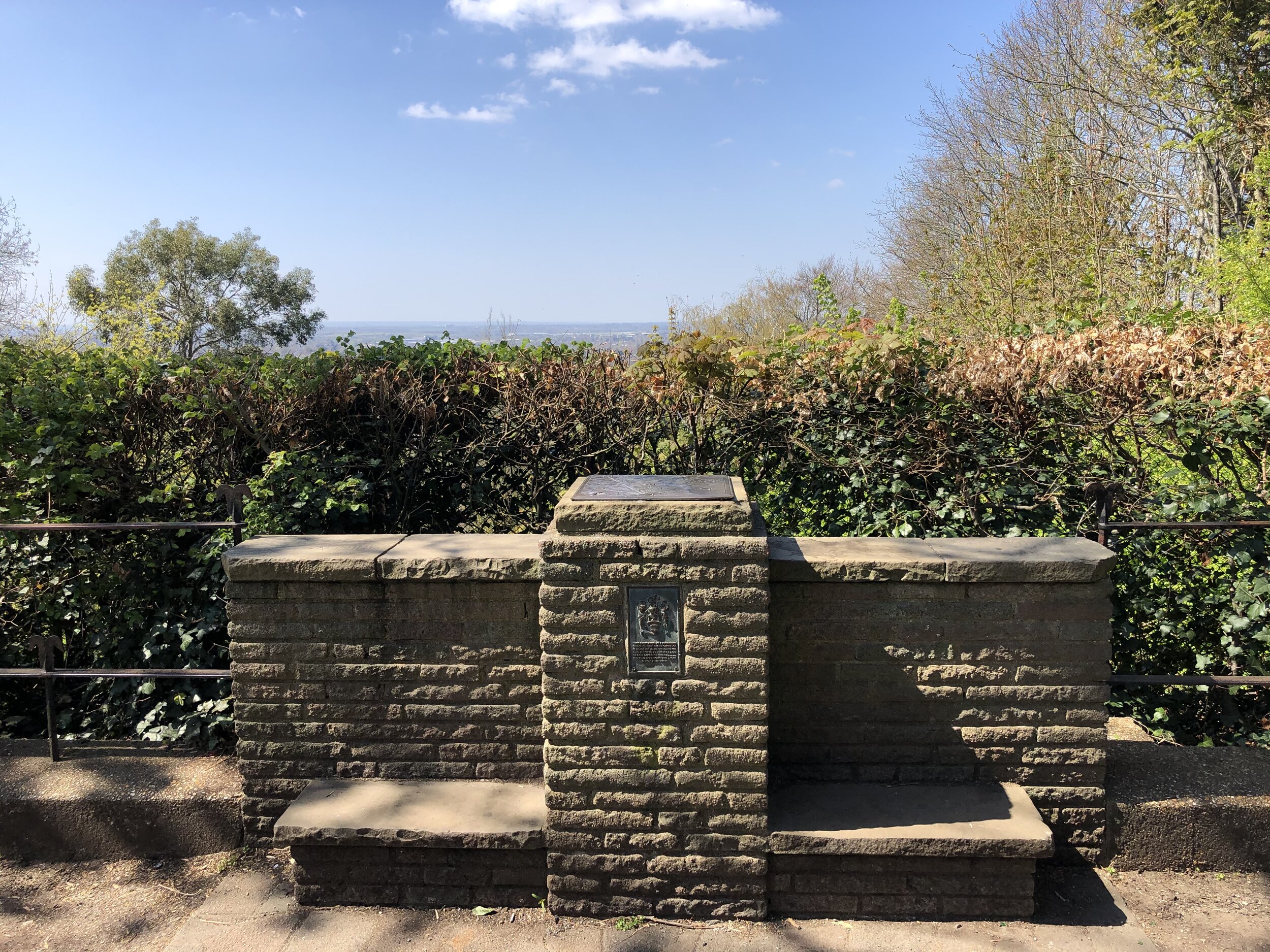
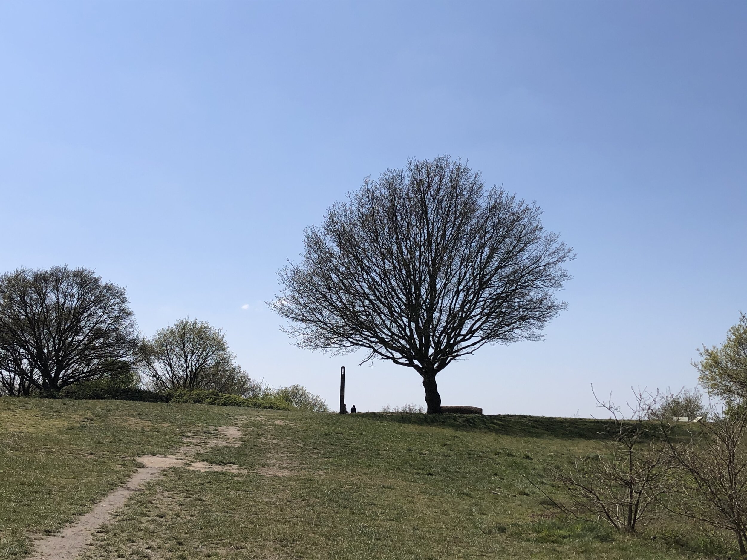

The tree at the top of Sudbury Hill
Sudbury Hill
Significance: (alternative) Highest peak in London Borough of Brent
Member of: N/A
Parent Peak: Haddington Hill. NHN = Wakeman’s Hill Avenue (the other high point in Brent)
Historic County: Middlesex (of which Bushey Heath is the County Top)
Elevation: 91m
Date “climbed”: 24th April 2021
Coordinates: 51° 33' 45'' N, 0° 19' 29'' W
Nearest Station: Sudbury Hill Harrow (Chiltern Railways): 1.9 km
On route of: N/A. The Capital Ring is 1.1 km to the south-west
Map: OS Explorer Map (161) London South, Westminster, Greenwich, Croydon, Esher & Twickenham
Links: Wikipedia (Brent), Wikipedia (Sudbury Hill), Peakbagger, Hillbagging
This may be 1 metre lower than the official high point of Brent but it’s likely the most interesting. The higher point is in the middle of a residential street and looks tedious. I’ll confirm that soon when I get round to visiting it. At last this one feels like a summit and has some views of the city.

Horsenden Hill
Significance: Highest peak in London Borough of Ealing
Member of: N/A
Parent Peak: Haddington Hill. NHN = Sudbury Hill
Historic County: Middlesex (of which Bushey Heath is the County Top)
Elevation: 85m
Date “climbed”: 24th April 2021
Coordinates: 51° 32' 46'' N, 0° 19' 34'' W
Nearest Station: Sudbury Town (Piccadilly Line): 1.6 km
On route of: The Capital Ring is 0.1 km to the north
OS Trig Pillar: TP4023 - Horsenden Hill
Map: OS Explorer Map (161) London South, Westminster, Greenwich, Croydon, Esher & Twickenham
Links: Wikipedia (Ealing), Wikipedia (Horsenden Hill), Peakbagger, Hillbagging
Signs of an Iron Age settlement from 2500 BC have been found on and around the hill. Its present name can be traced back to Saxon times and probably refers to a hill fort controlled by a chap called Horsa (source: How London’s Hills Got Their Names).
Unlike Sudbury there’s no disputes about this being the highest point in Ealing.