Running The Bakerloo Line
A few weeks ago, I completed my run of the Circle Line above ground. That particular challenge was actually completed in two parts, with a whole ten years between them! The first part covered the main circle, while the second part, completed much more recently, ticked off the Hammersmith Spur. That most recent run sparked something in me, inspiring me to take on more London Underground runs and walks.
Next up on the list: the Bakerloo line.
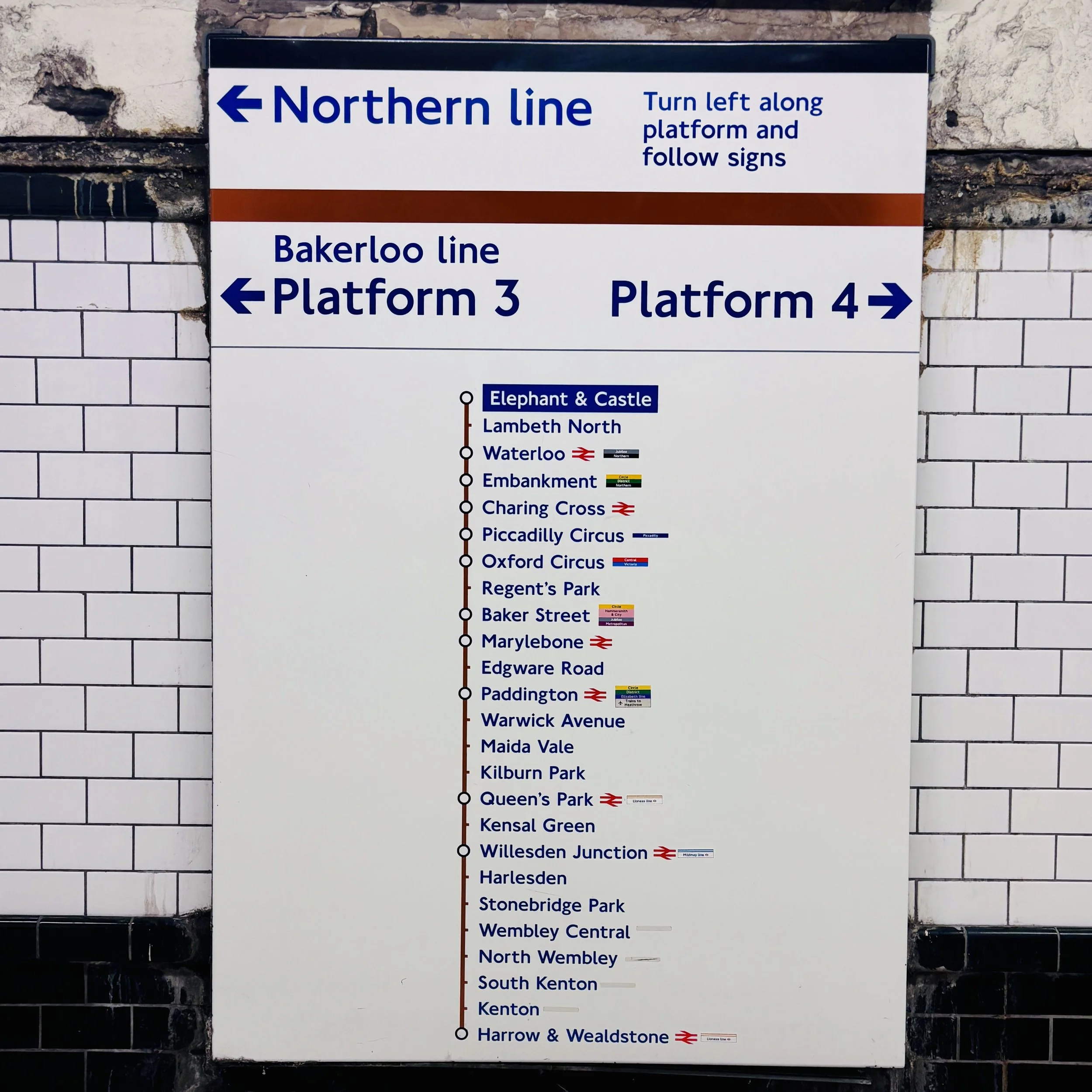
The line was originally called the "Baker Street and Waterloo Railway", but a journalist coined the term "Bakerloo" in a newspaper column shortly after it opened in 1906, and the railway company quickly adopted it. On paper, running the Bakerloo line is a much more straightforward undertaking. It’s a single point-to-point line with no complicated spurs and no circles to navigate.
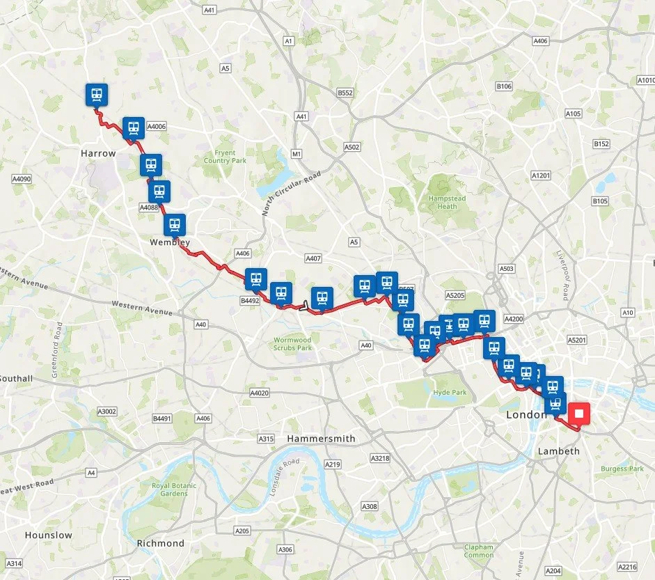
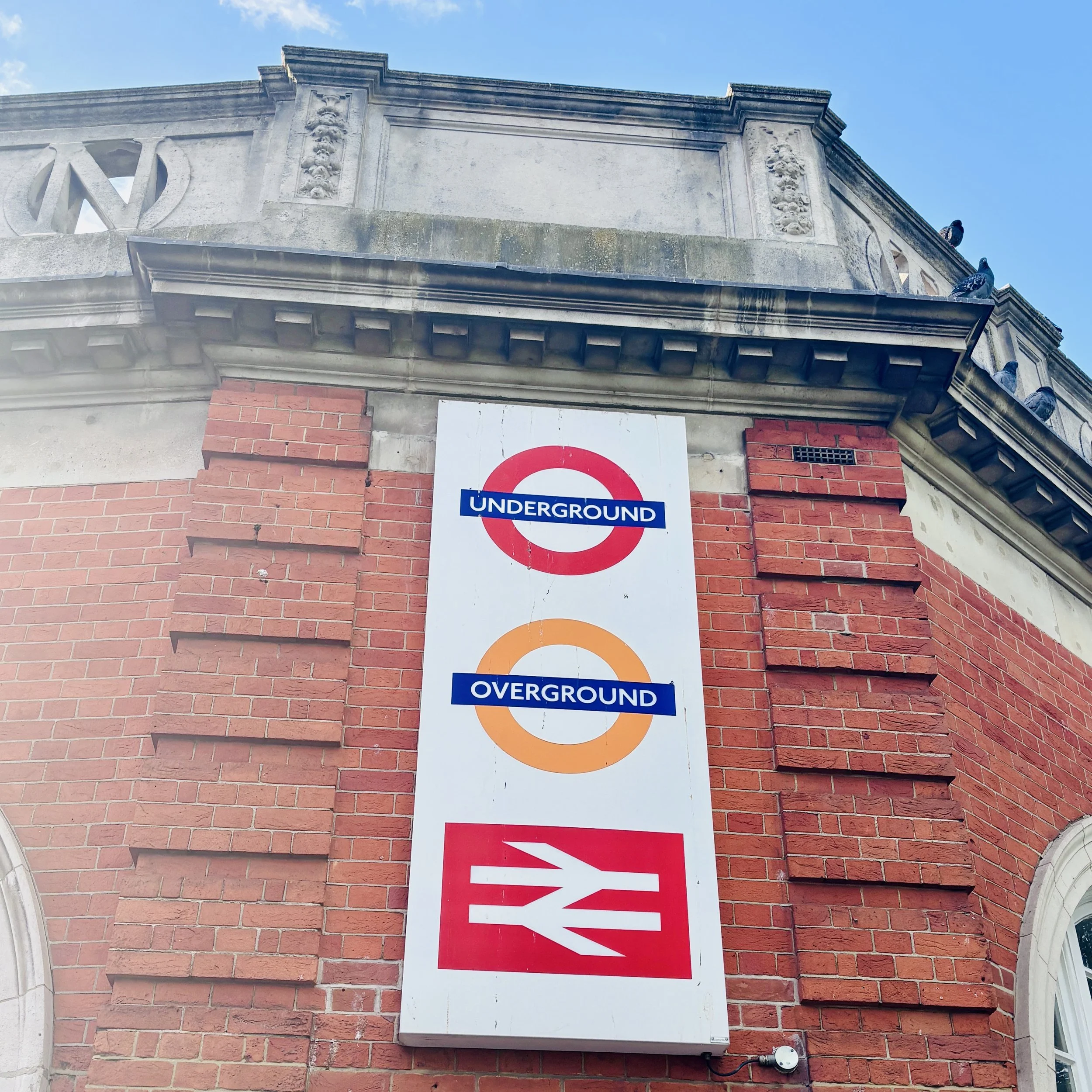
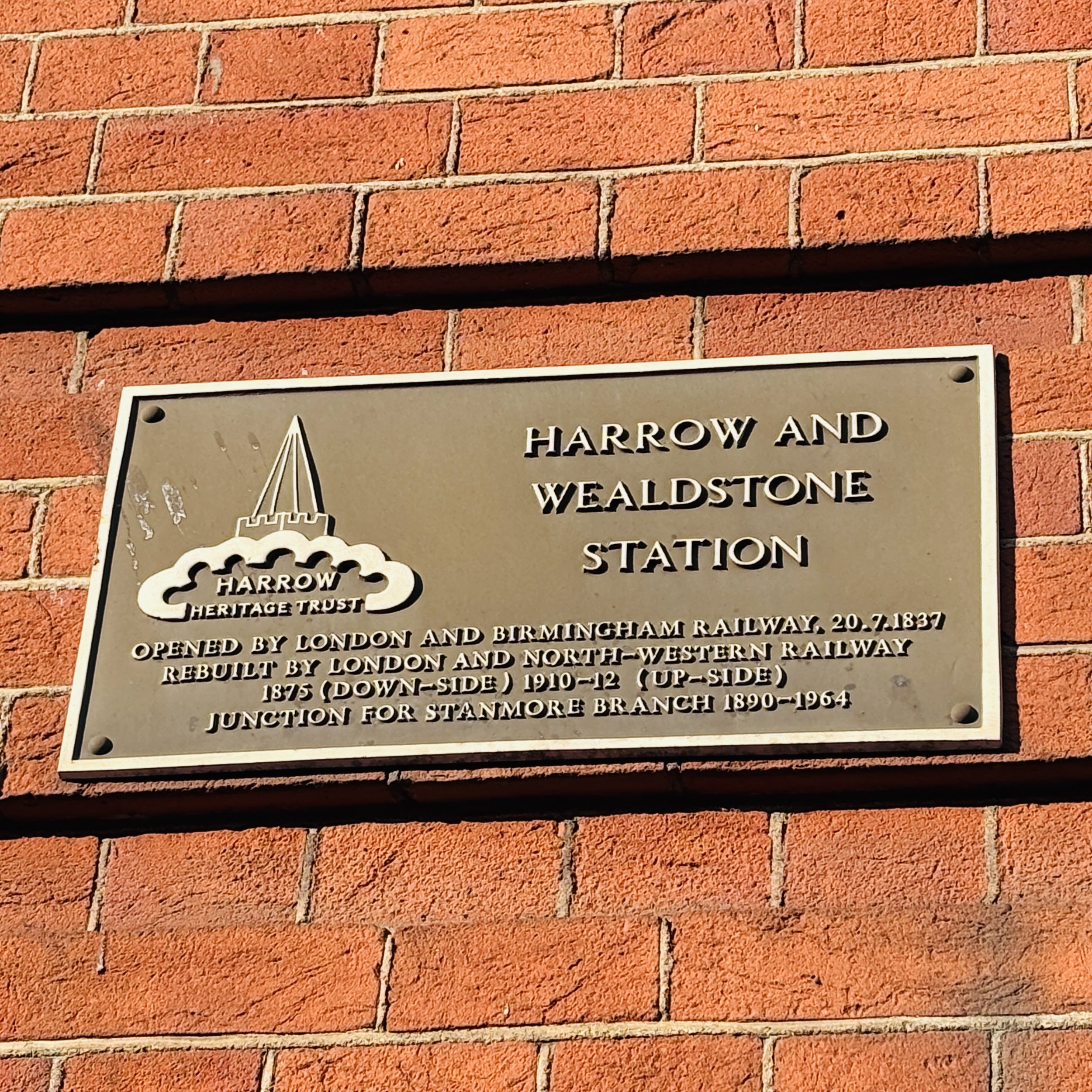
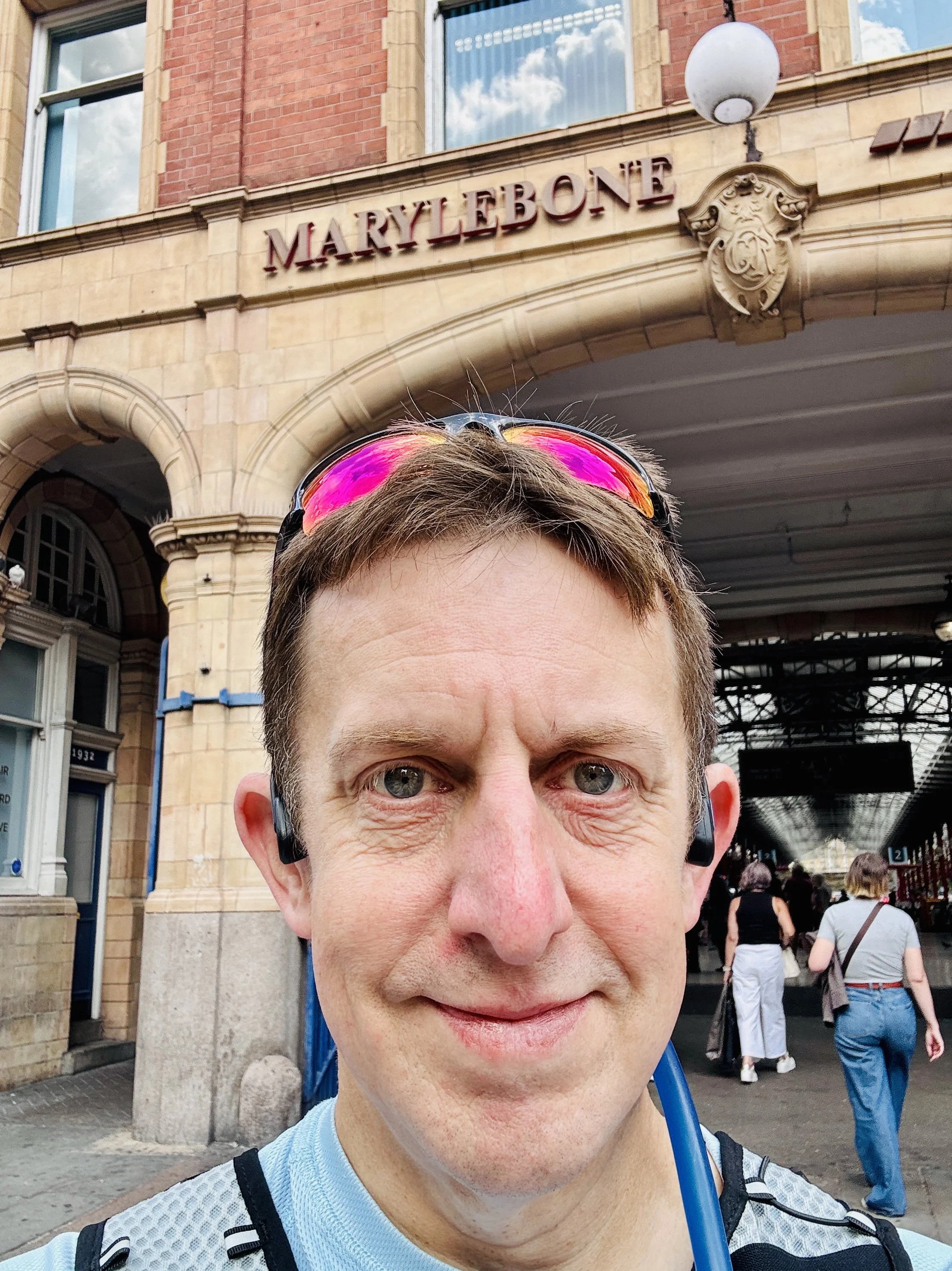
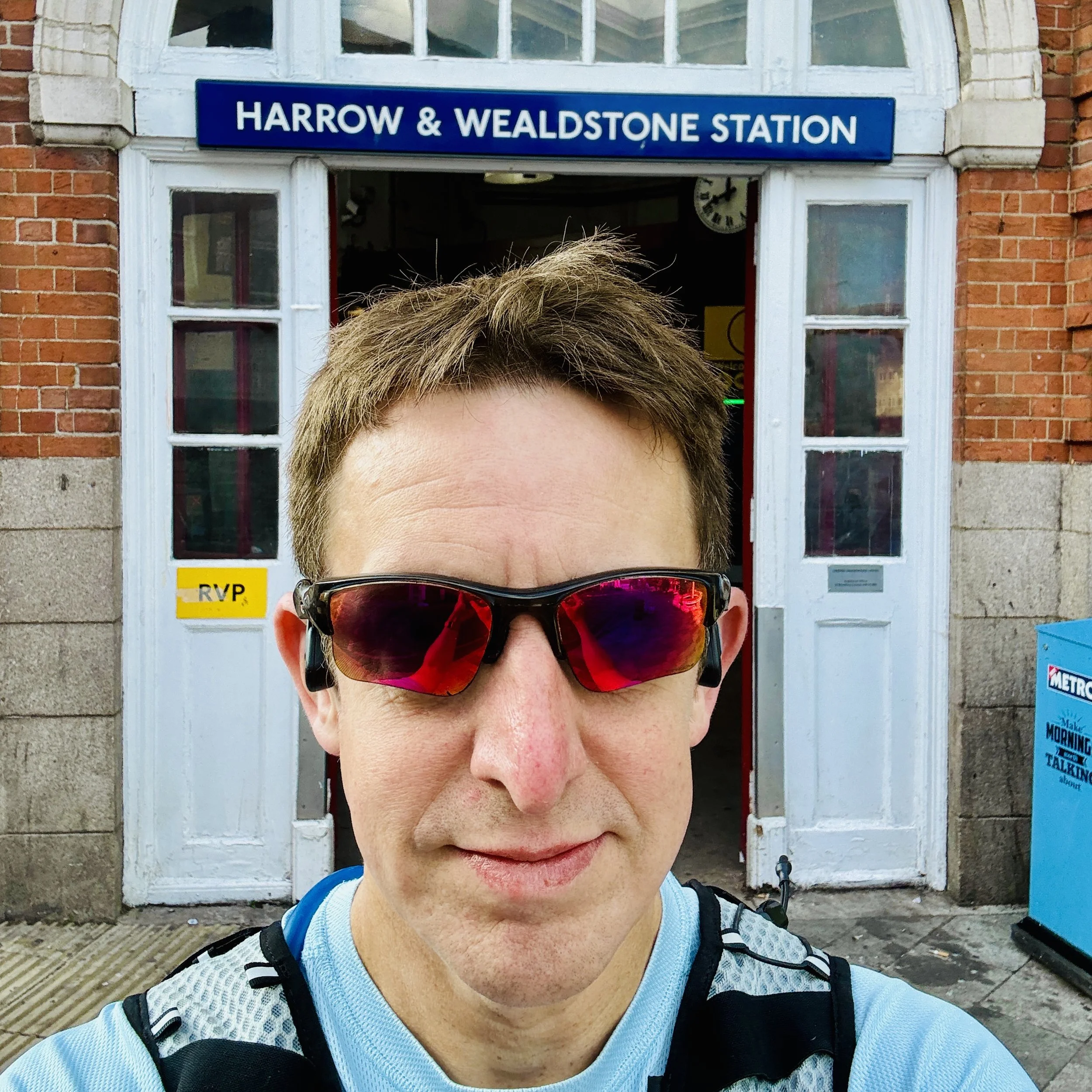
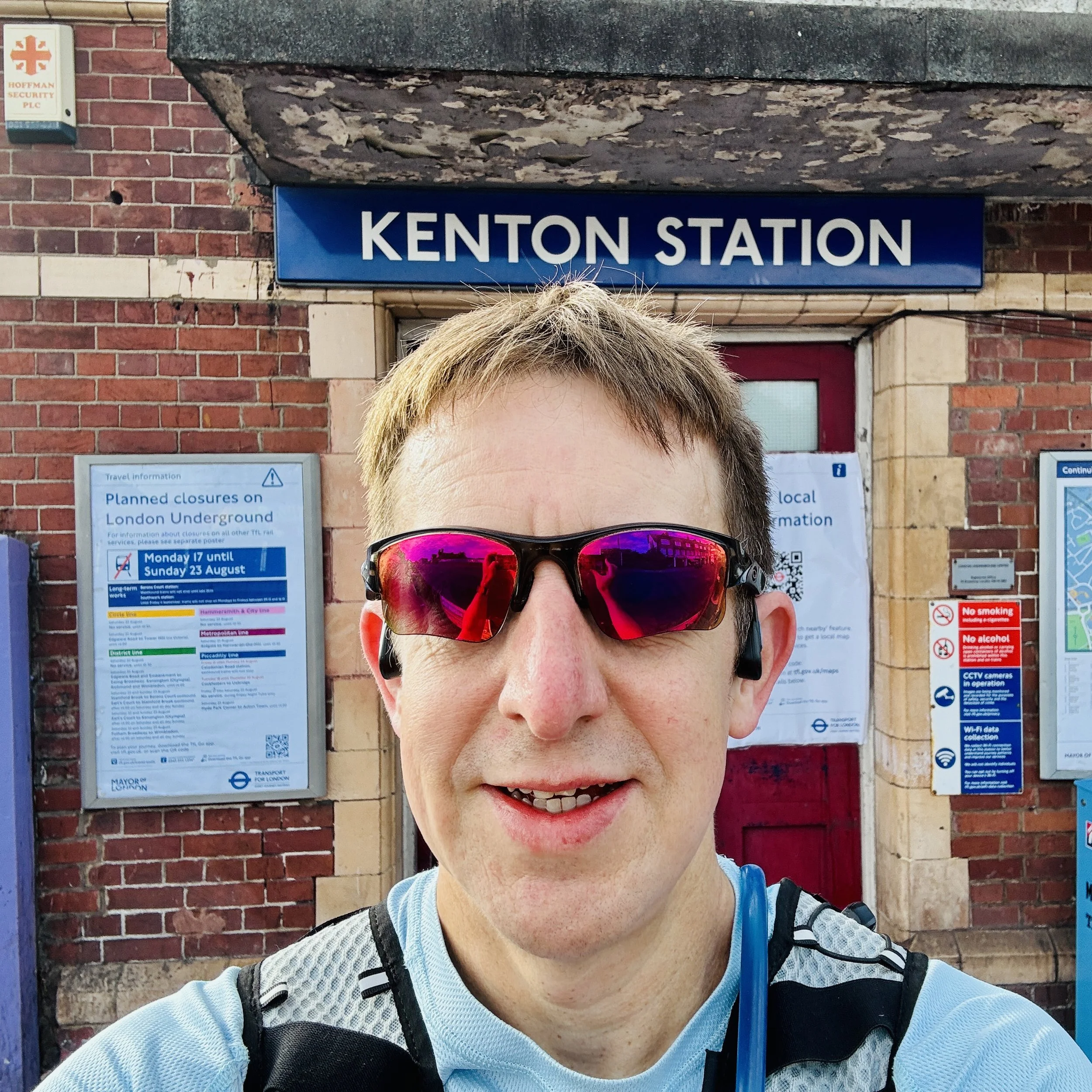
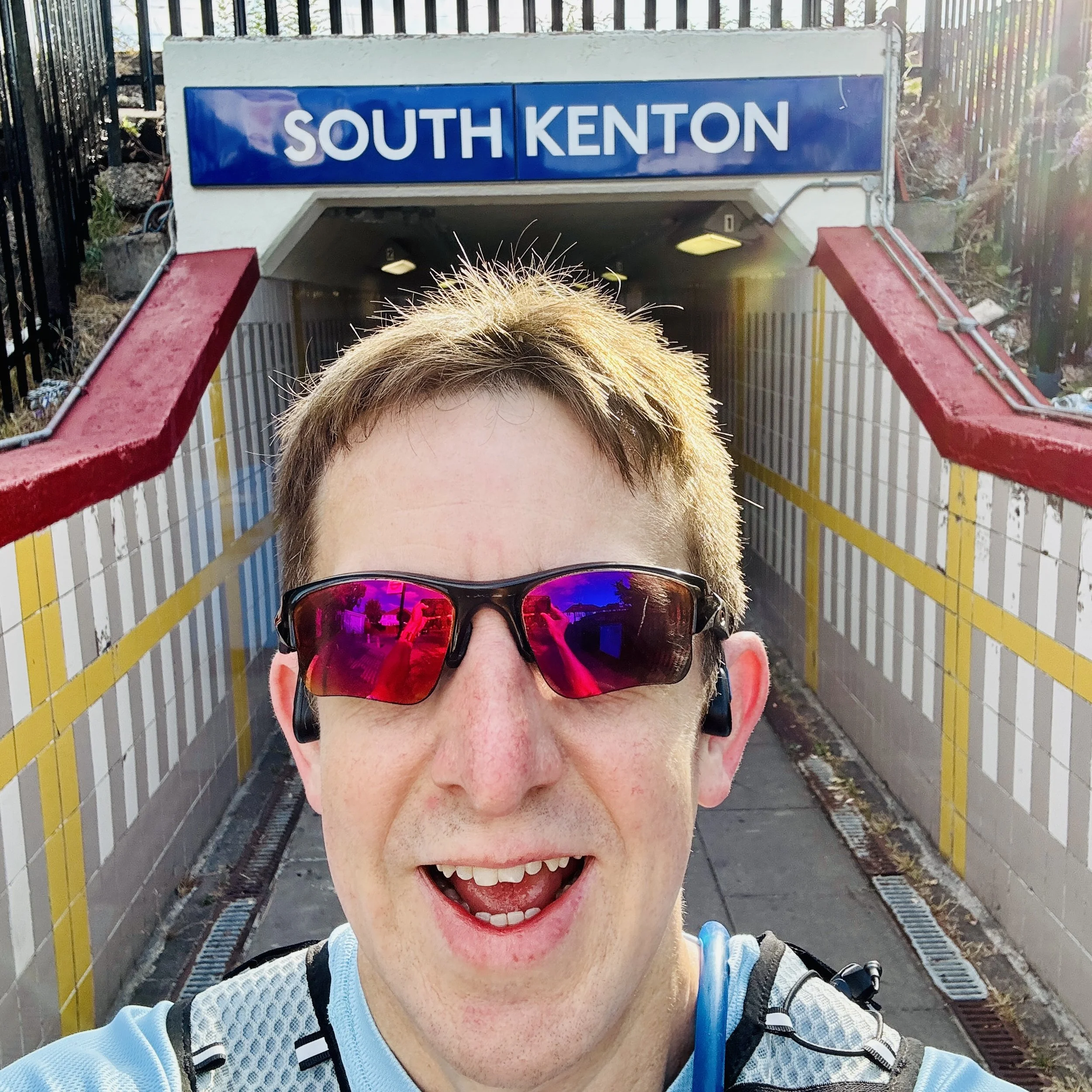
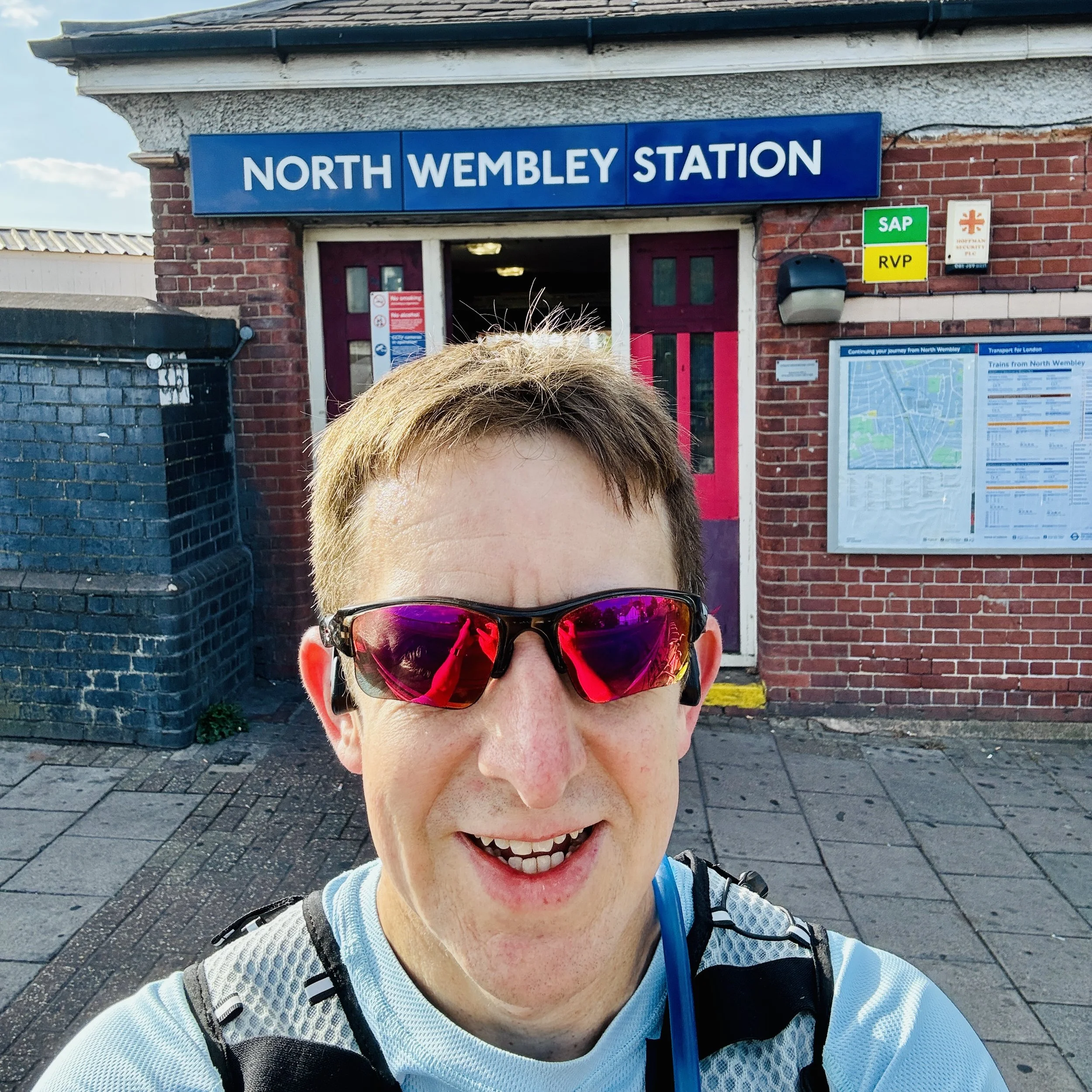
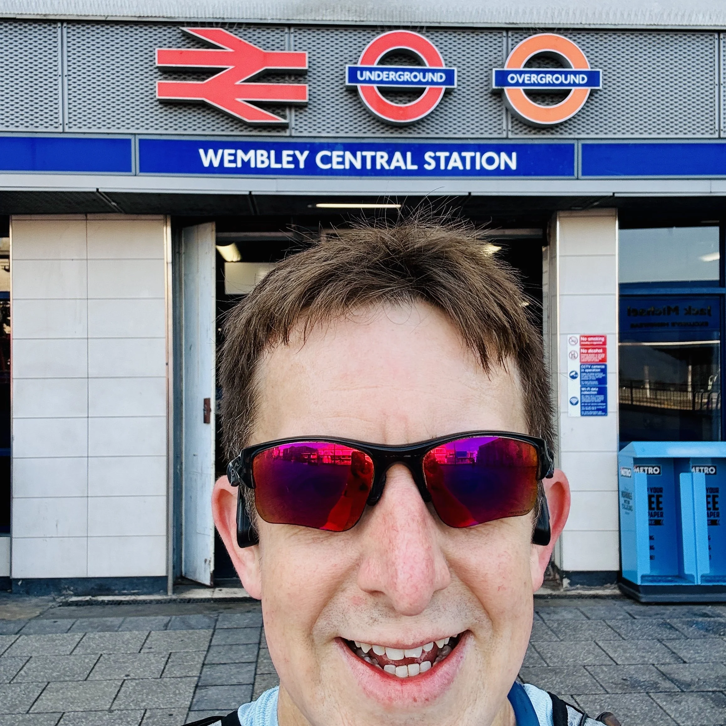
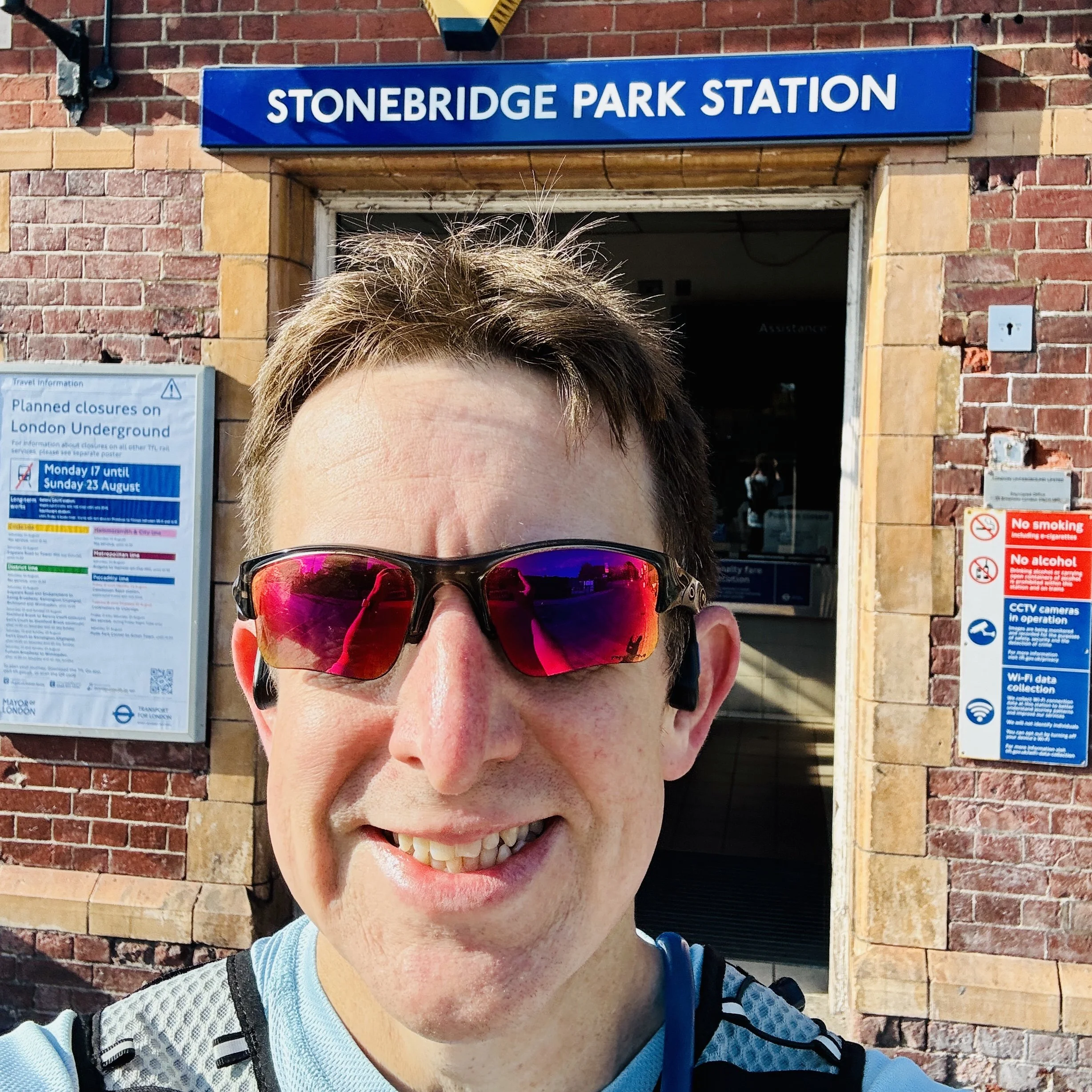
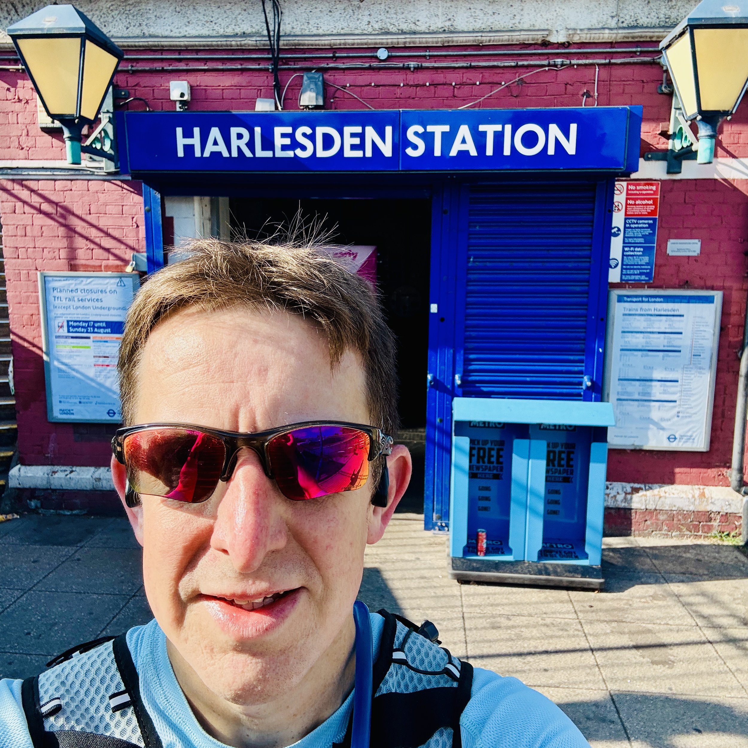
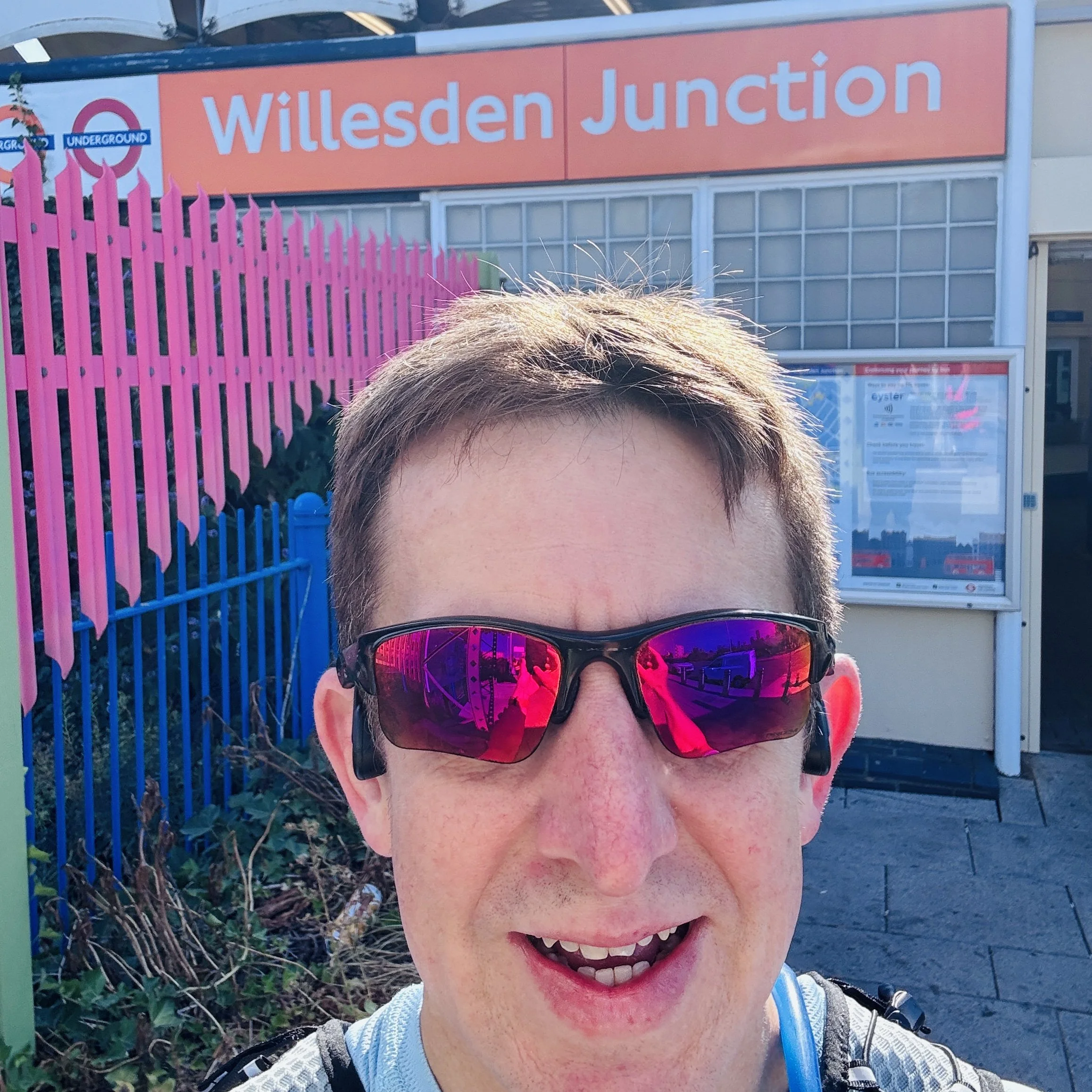
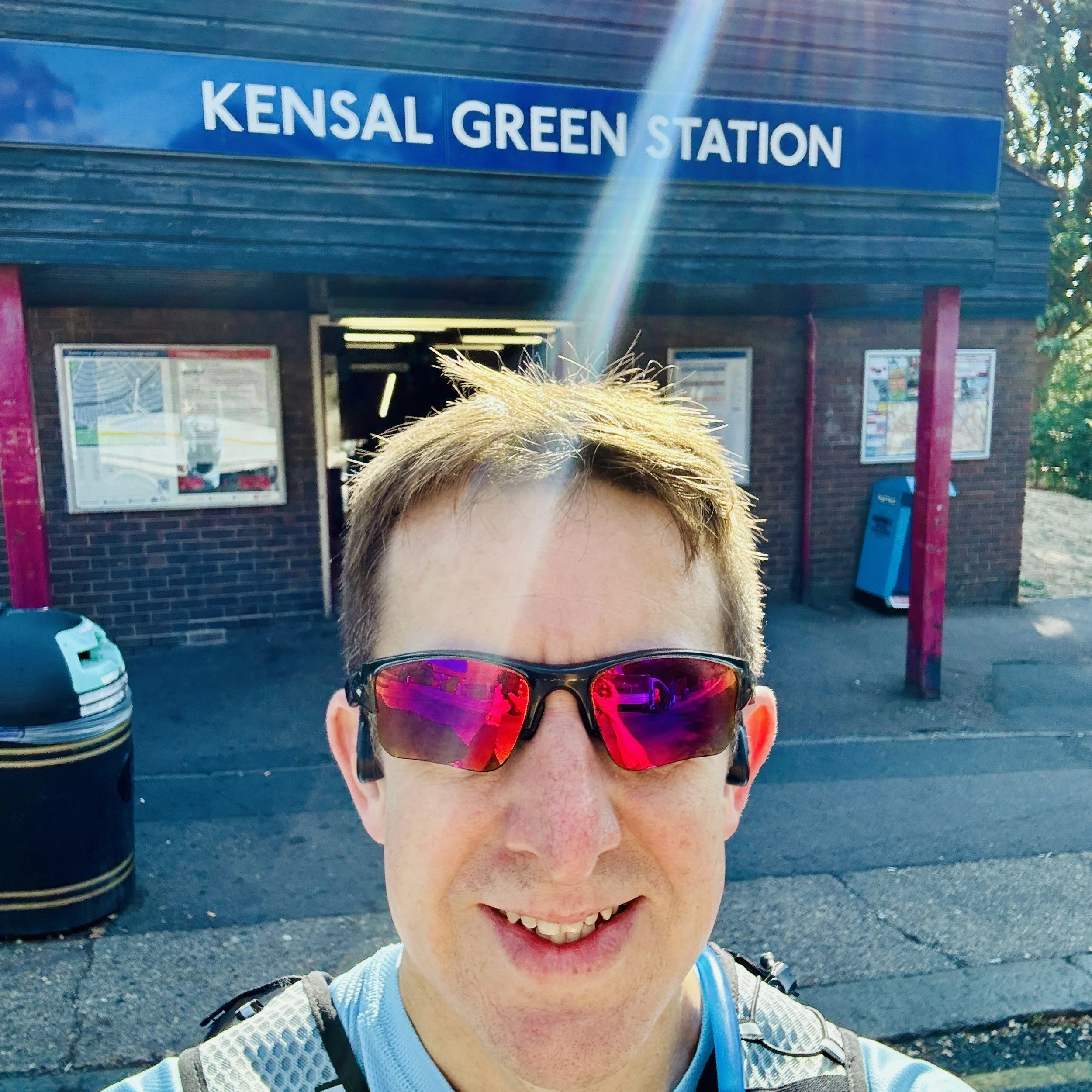
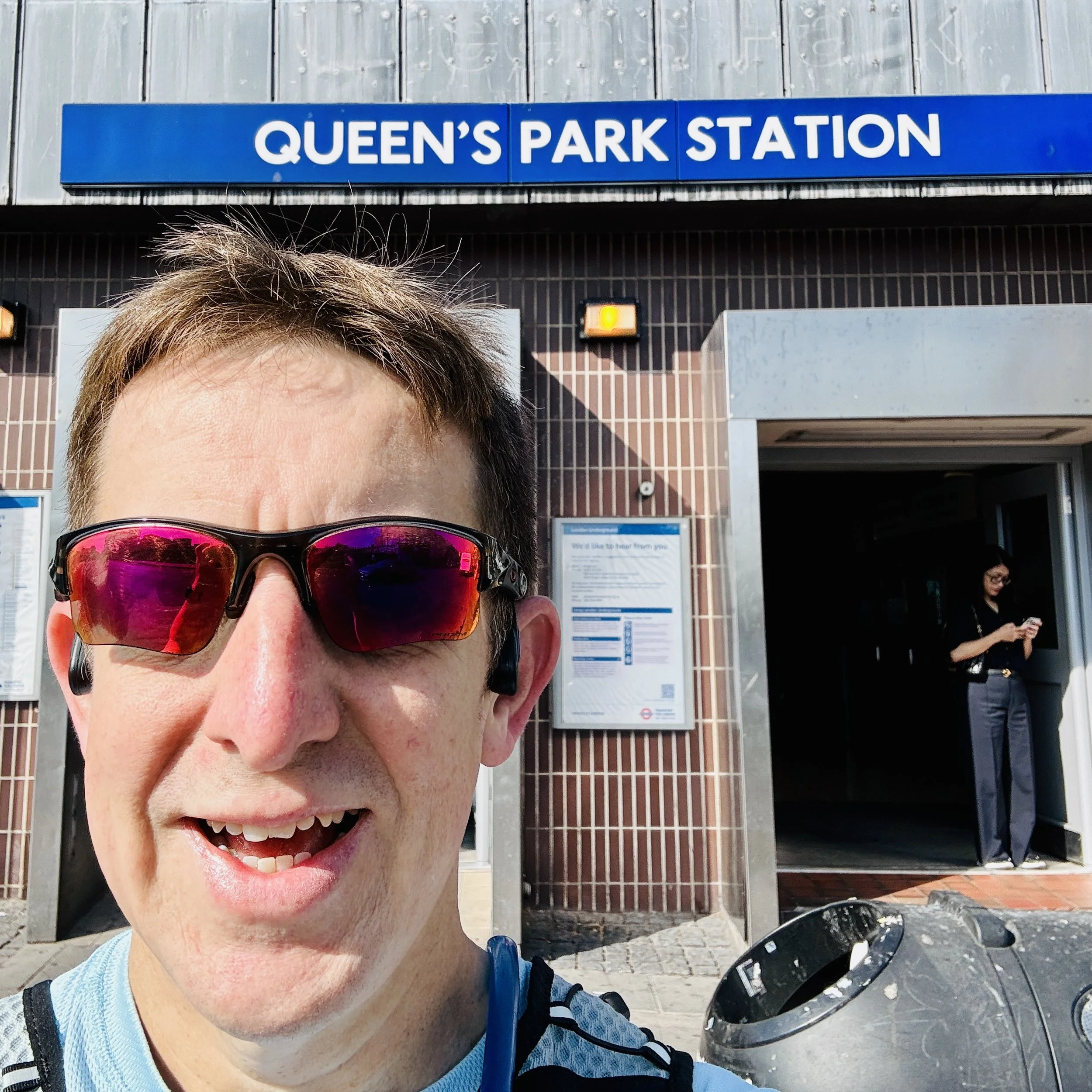
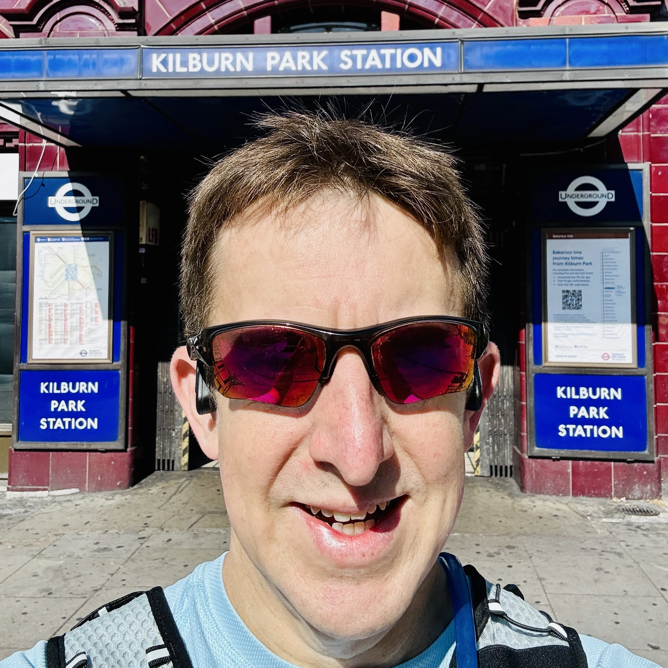
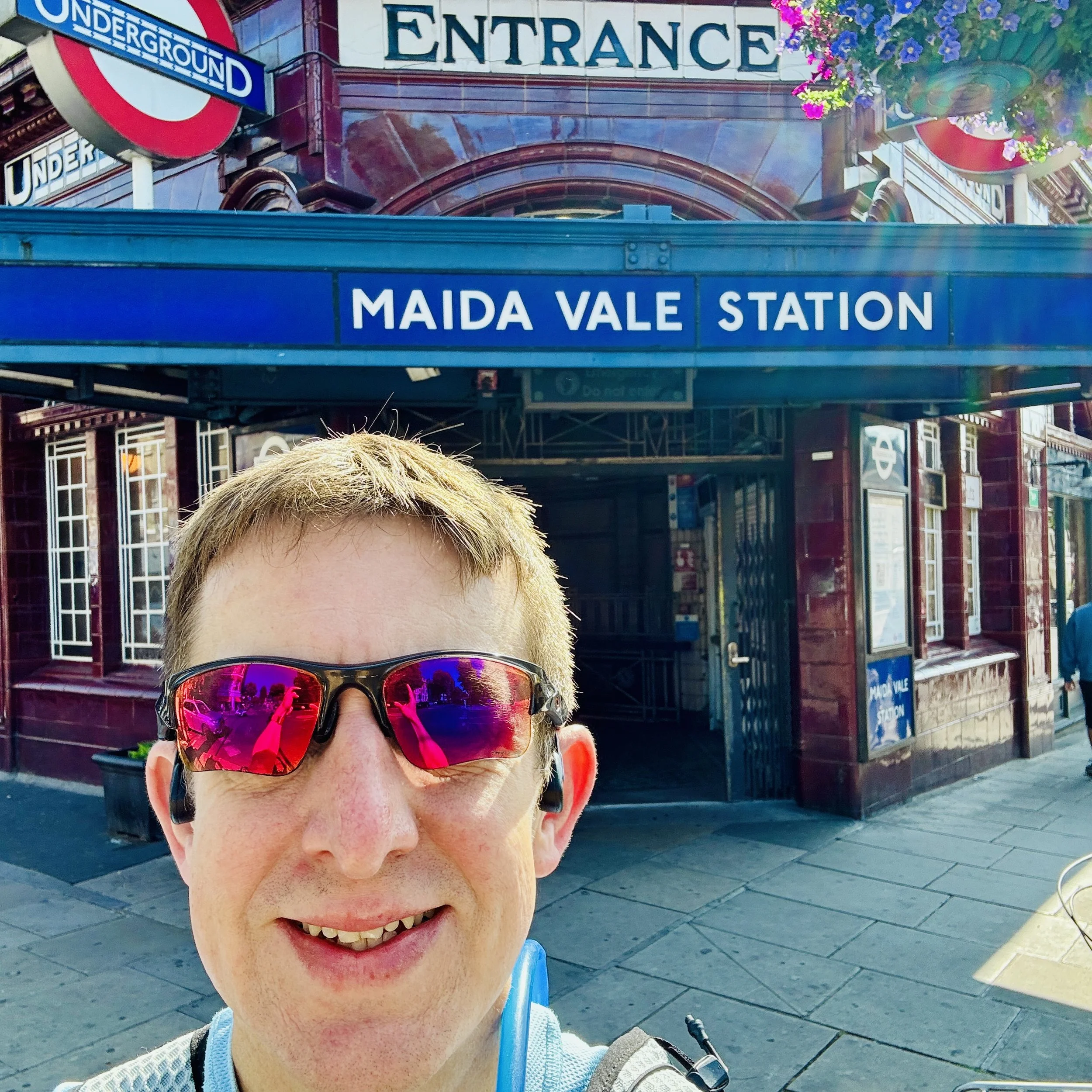
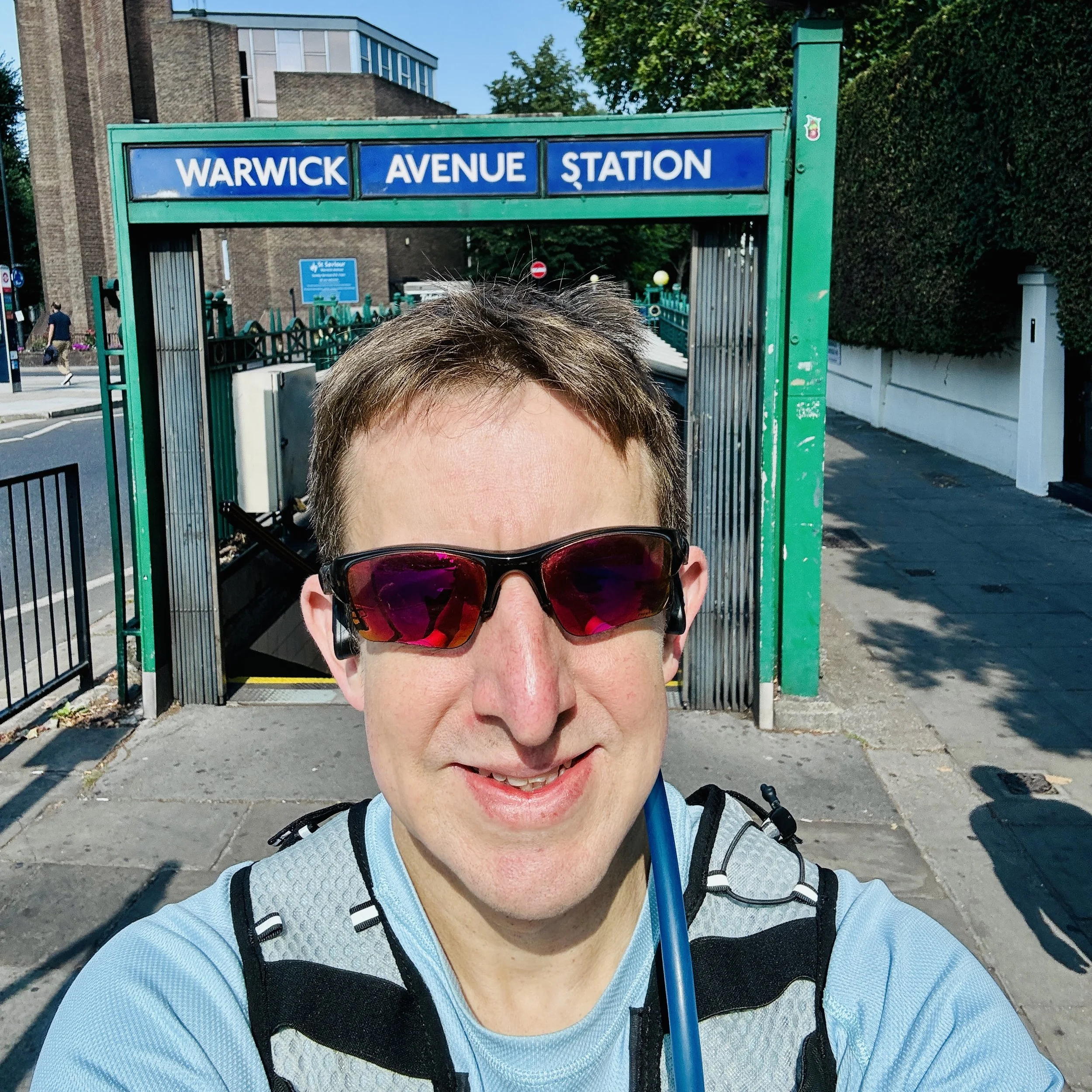
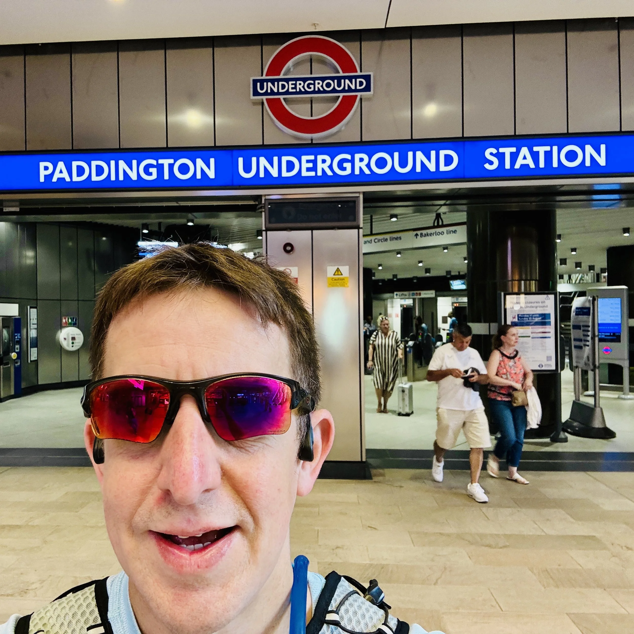
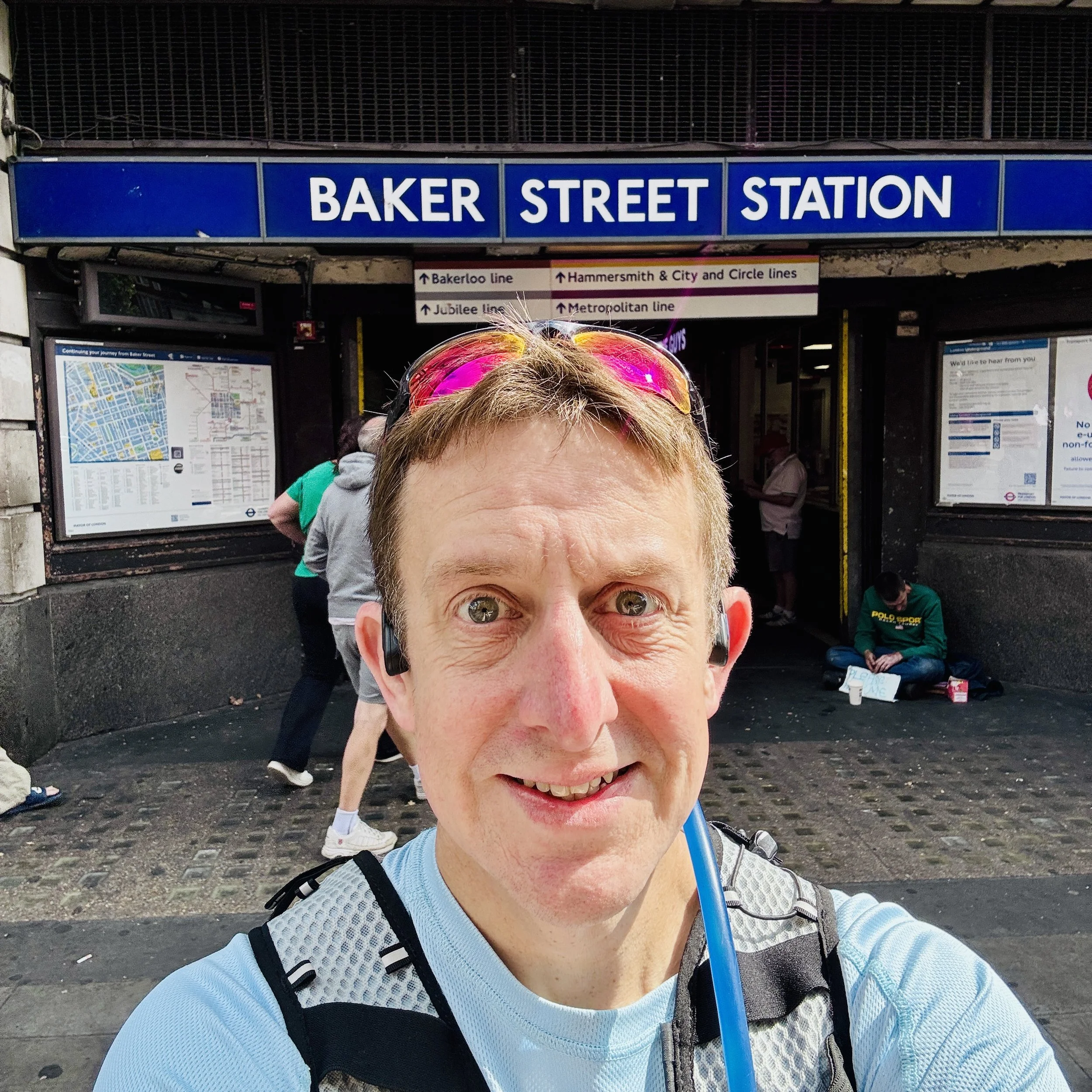
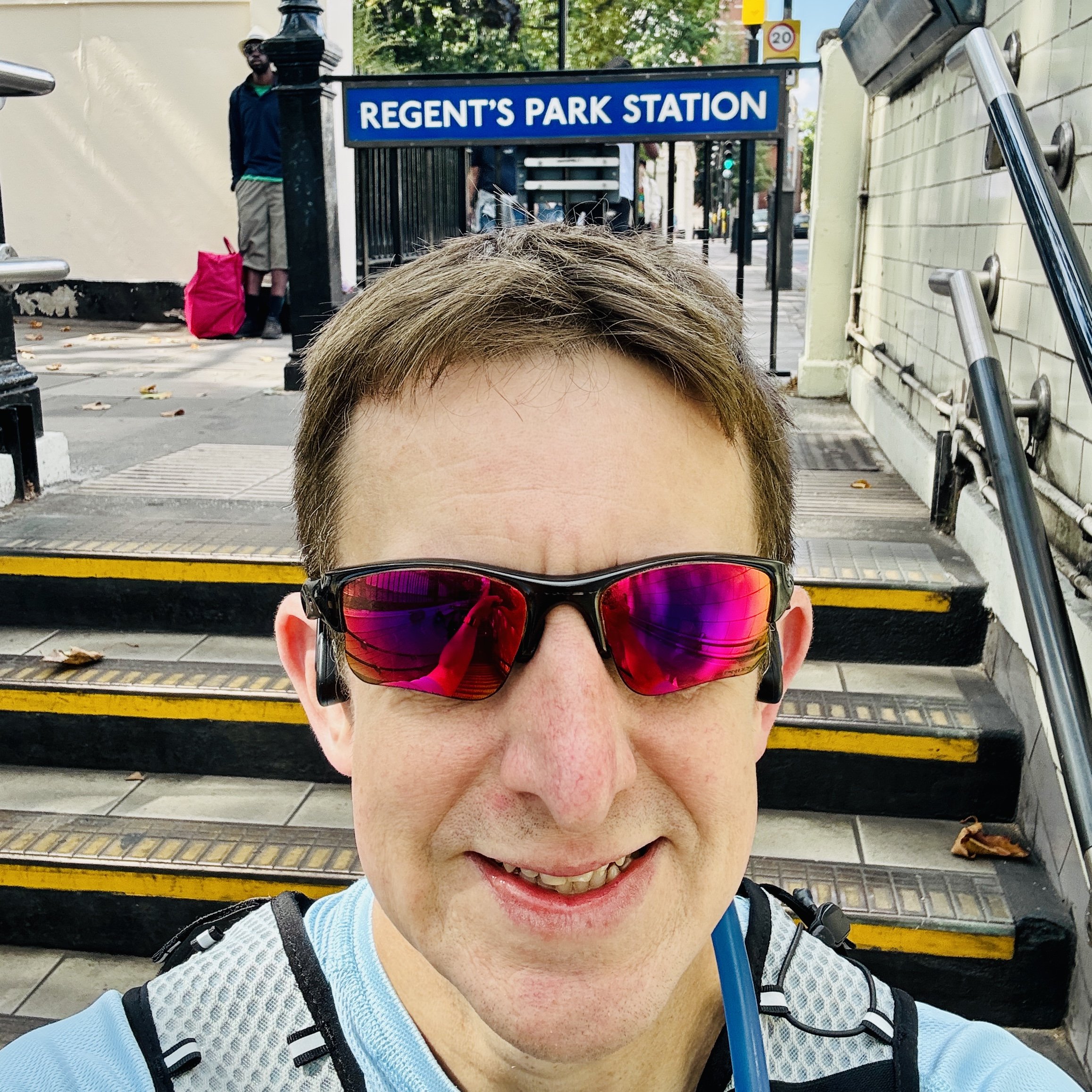
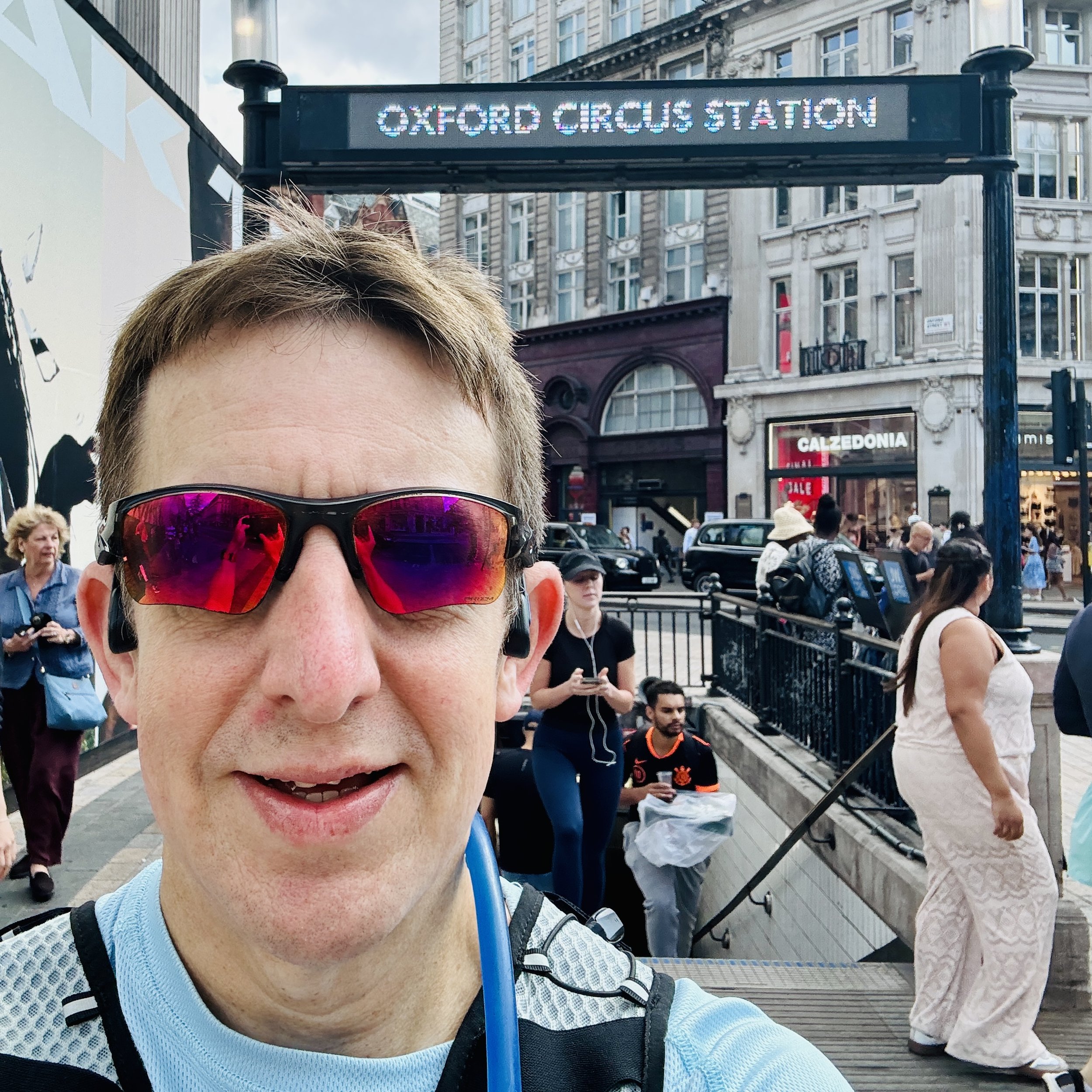
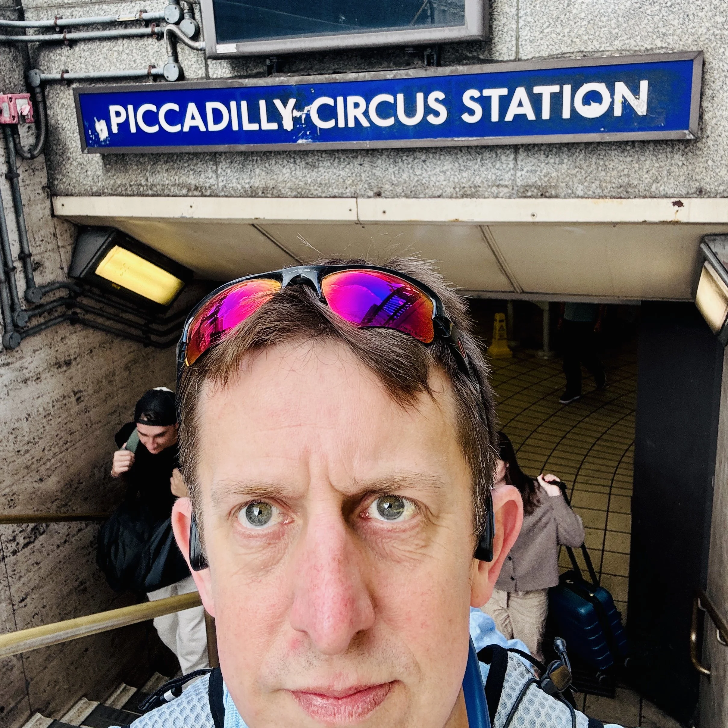
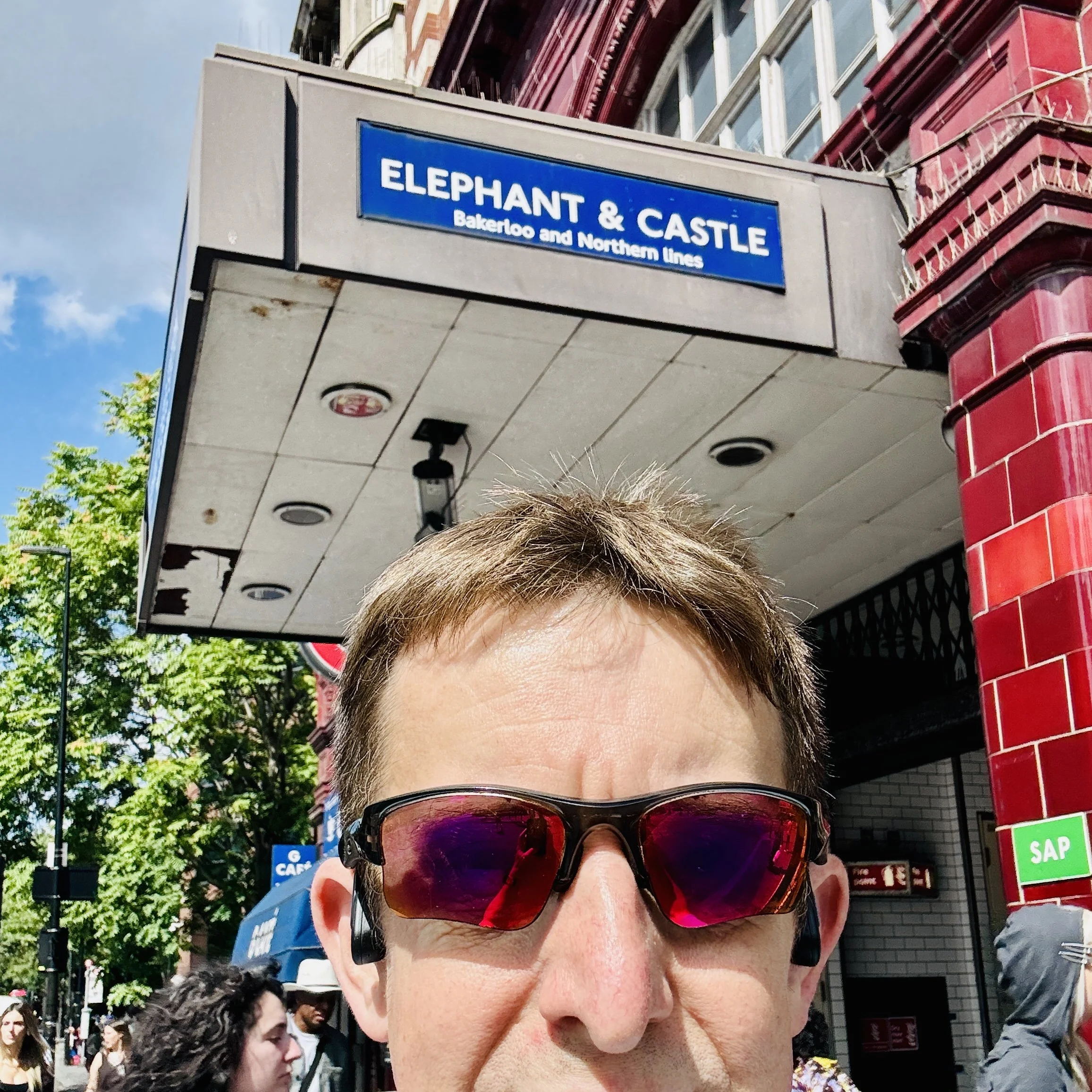
The plan was simple: start at the northern terminus of Harrow & Wealdstone, follow the route as closely as possible above ground, visit every station for a mandatory selfie, and finish at Elephant & Castle 27 kilometres later. Afterwards, I’d simply take the tube all the way back to the start.
I’ll admit, the prep for this one wasn't ideal. I’d had a pretty heavy week at work, and the day before the run, I had been out on a day adventure on the south coast hunting OS Trig Pillars. Safe to say, when Sunday morning rolled around, I didn't feel completely up for a continuous 27 km run. I decided to adapt. The new plan was to run as much of the route as I could, and then walk the rest. To be honest, staying above ground seemed like the better option anyway: if I had taken the tube for that first leg, I would have been travelling on the oldest rolling stock on the London Underground, dating back to 1972, and sharing the tunnels with the Culex molestus, a unique breed of mosquito specific to the Underground network.
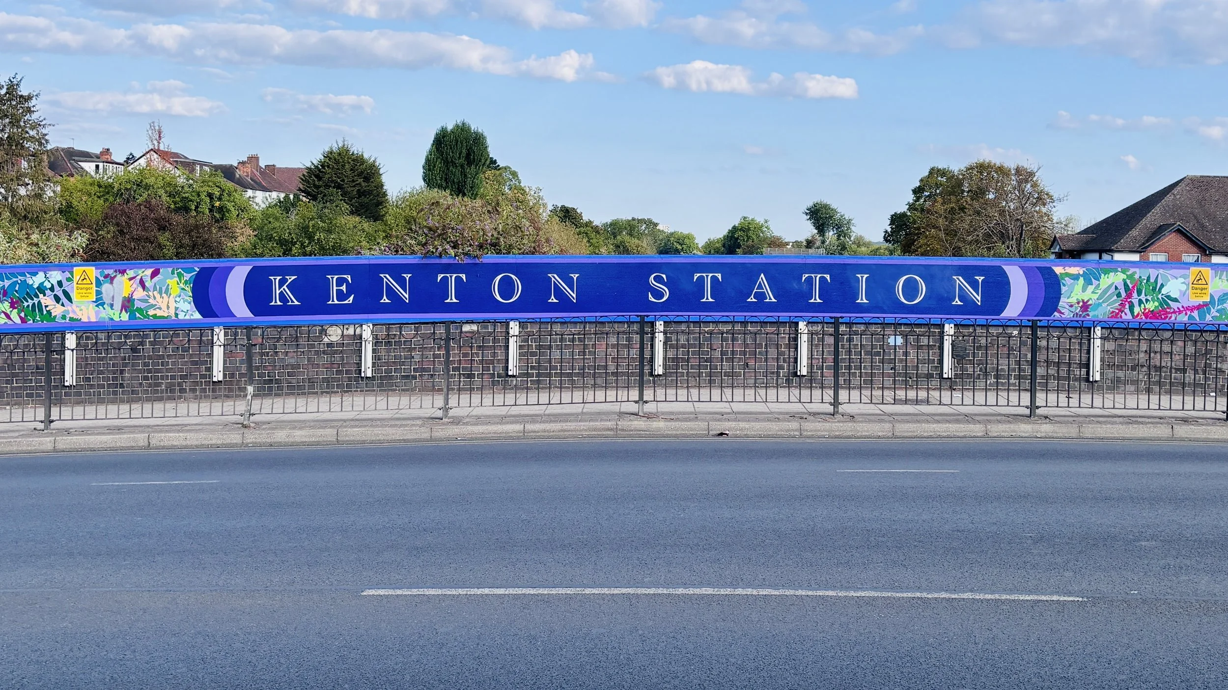
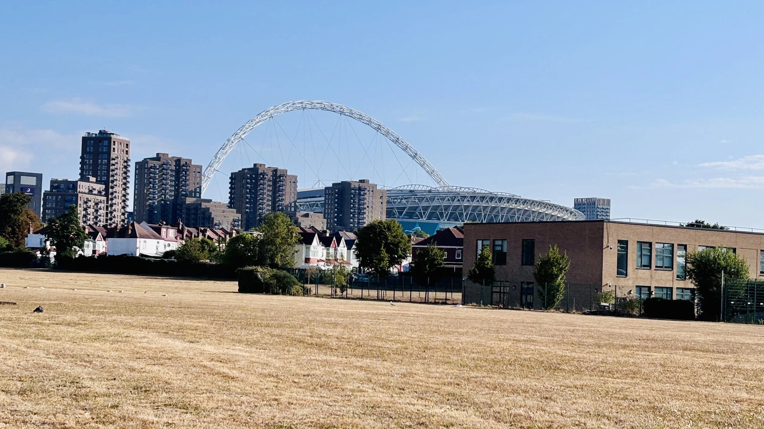
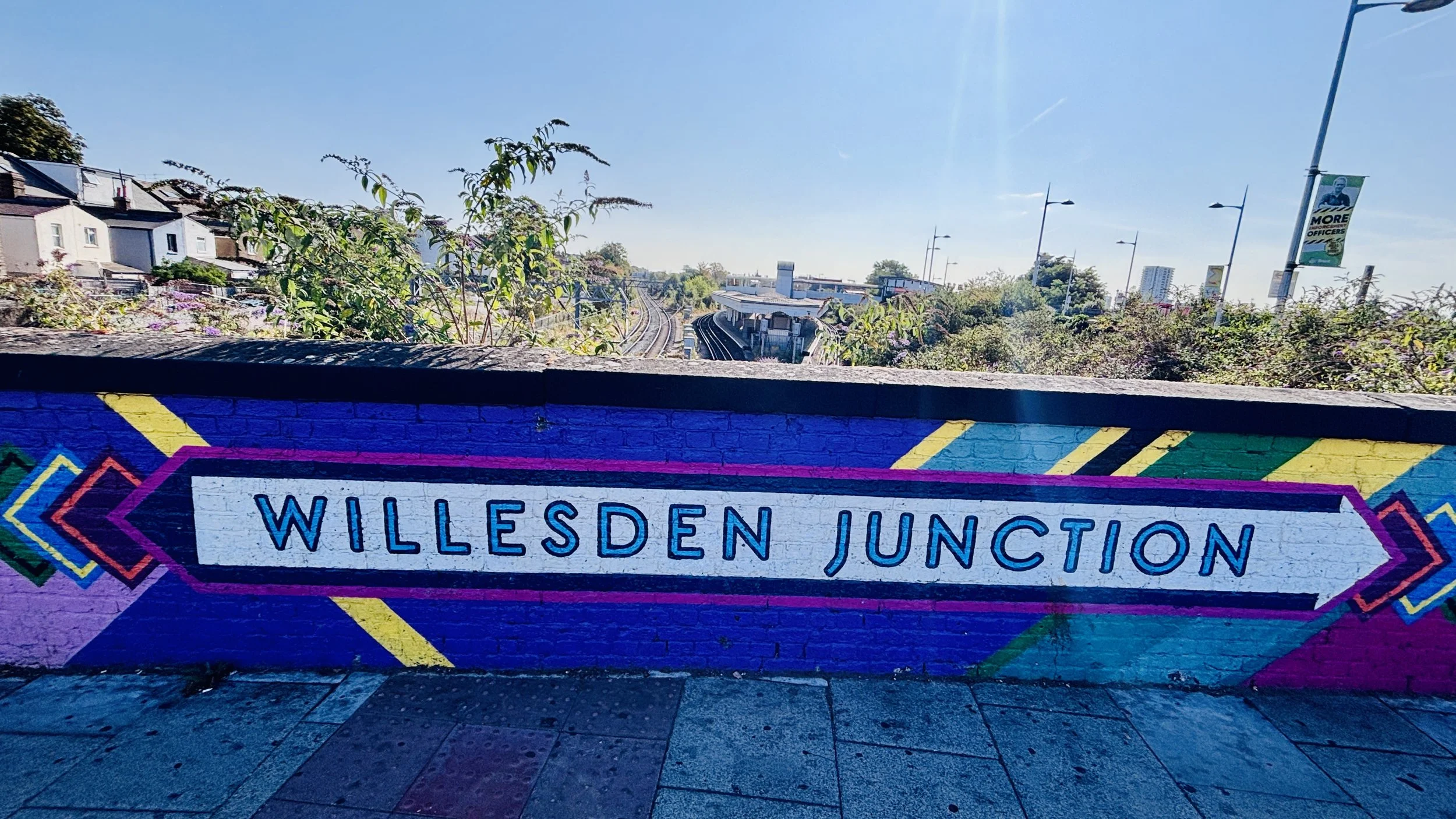
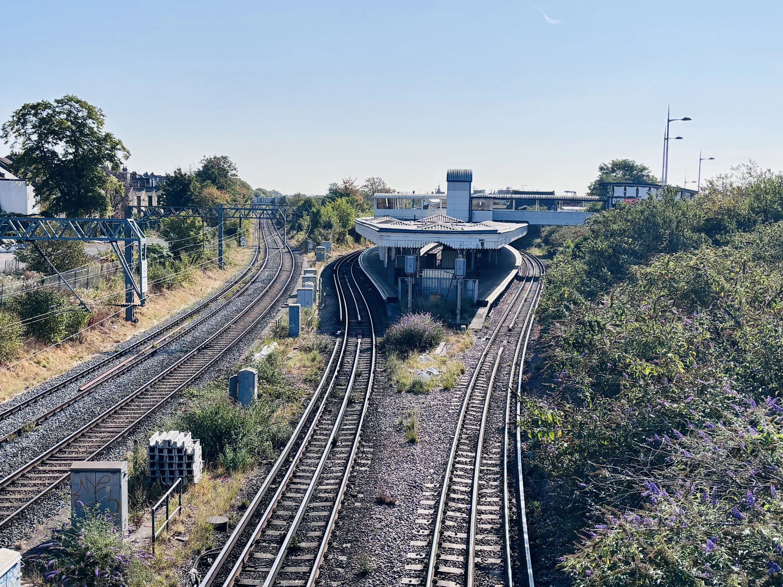
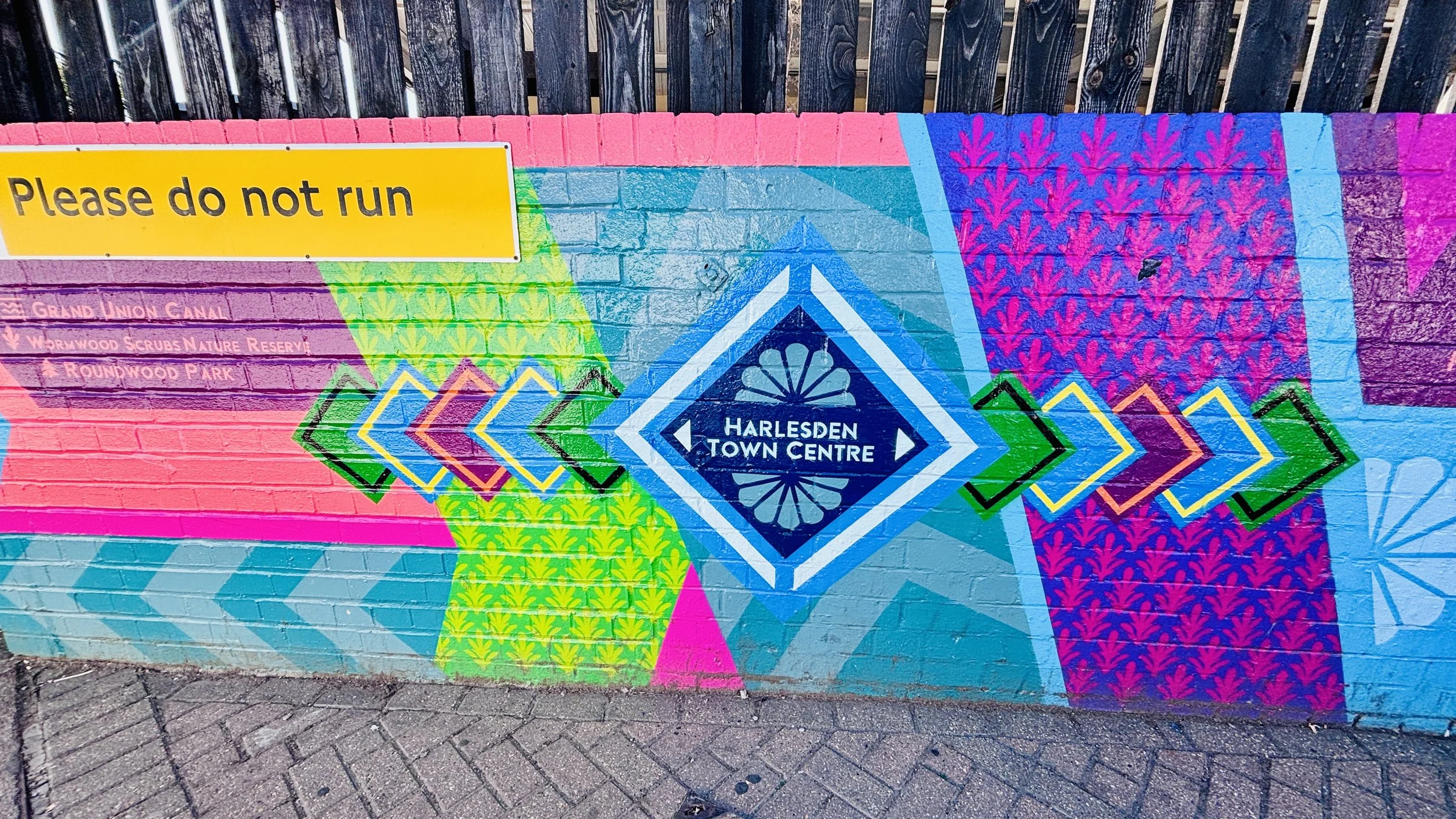
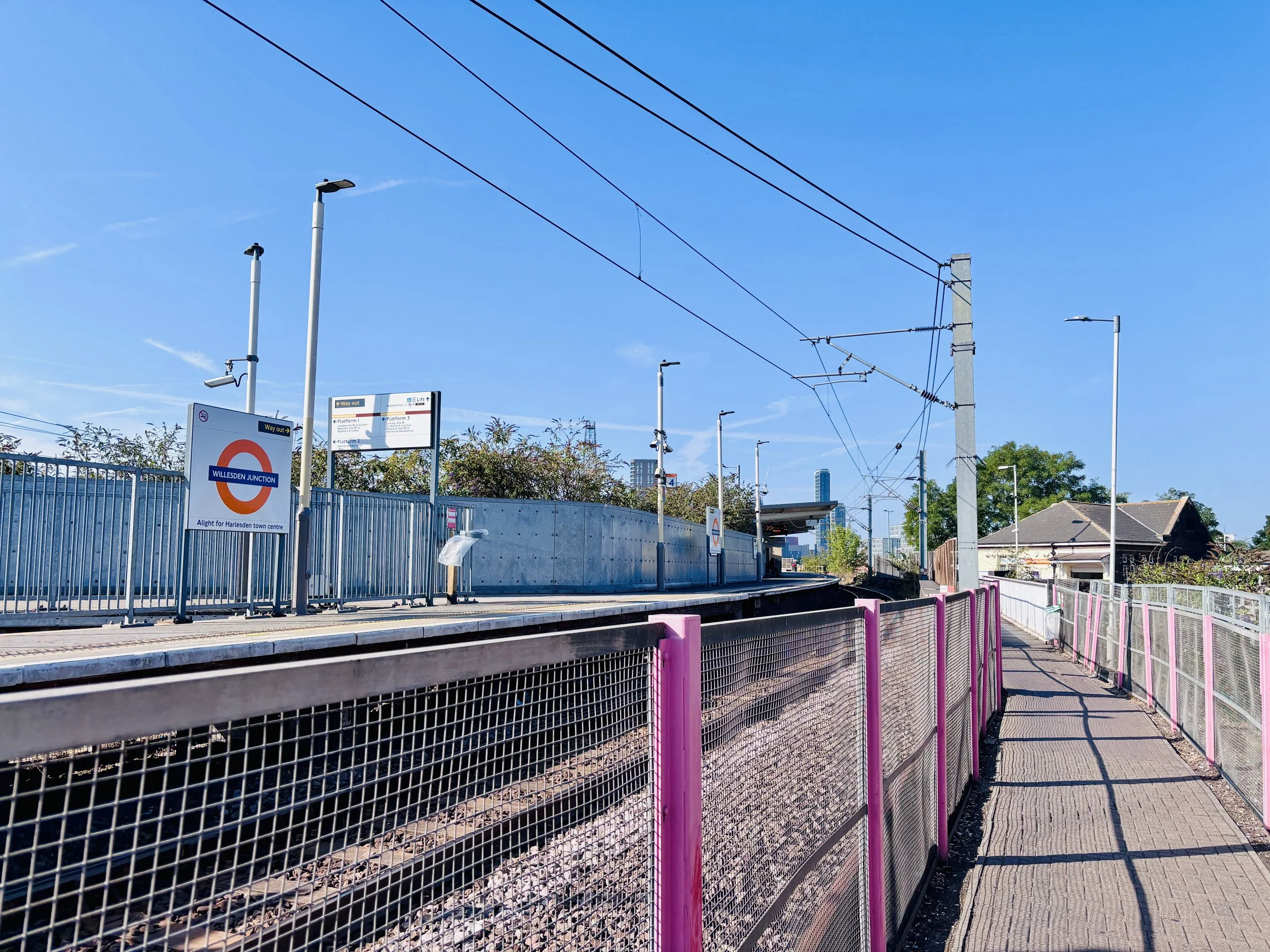
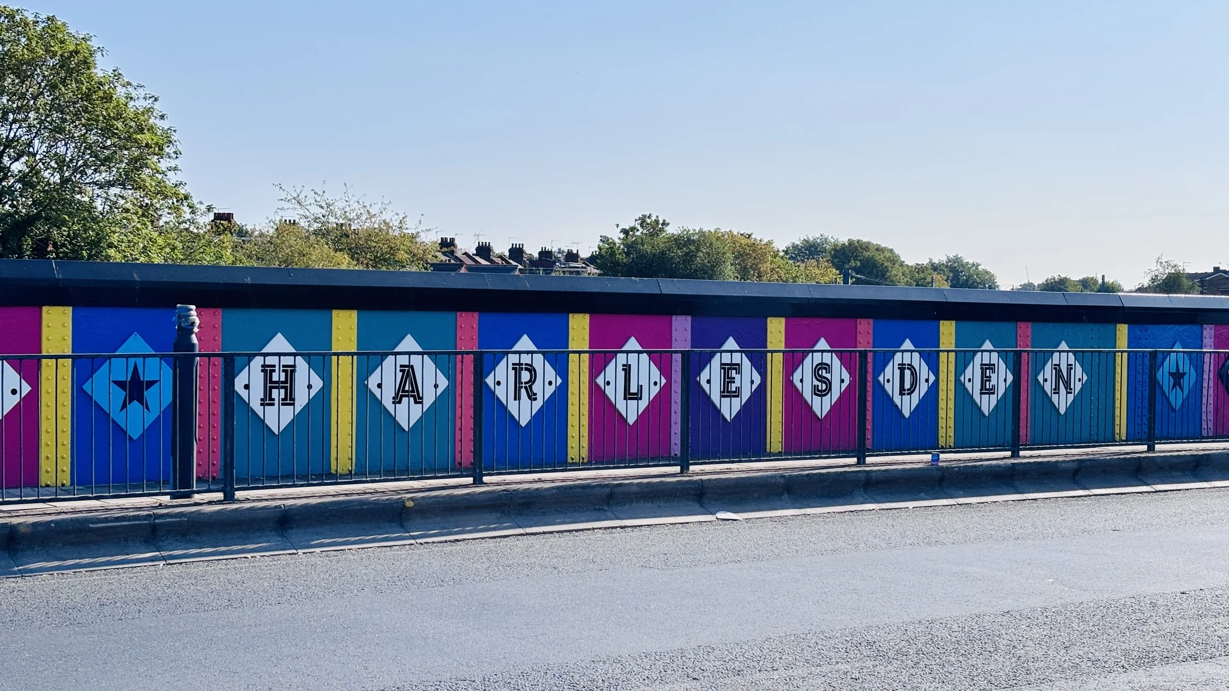
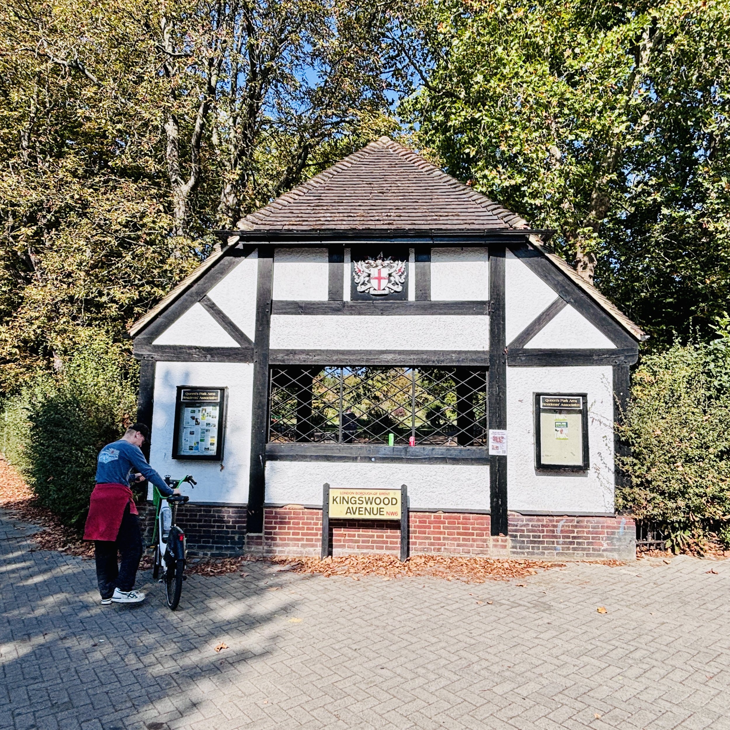
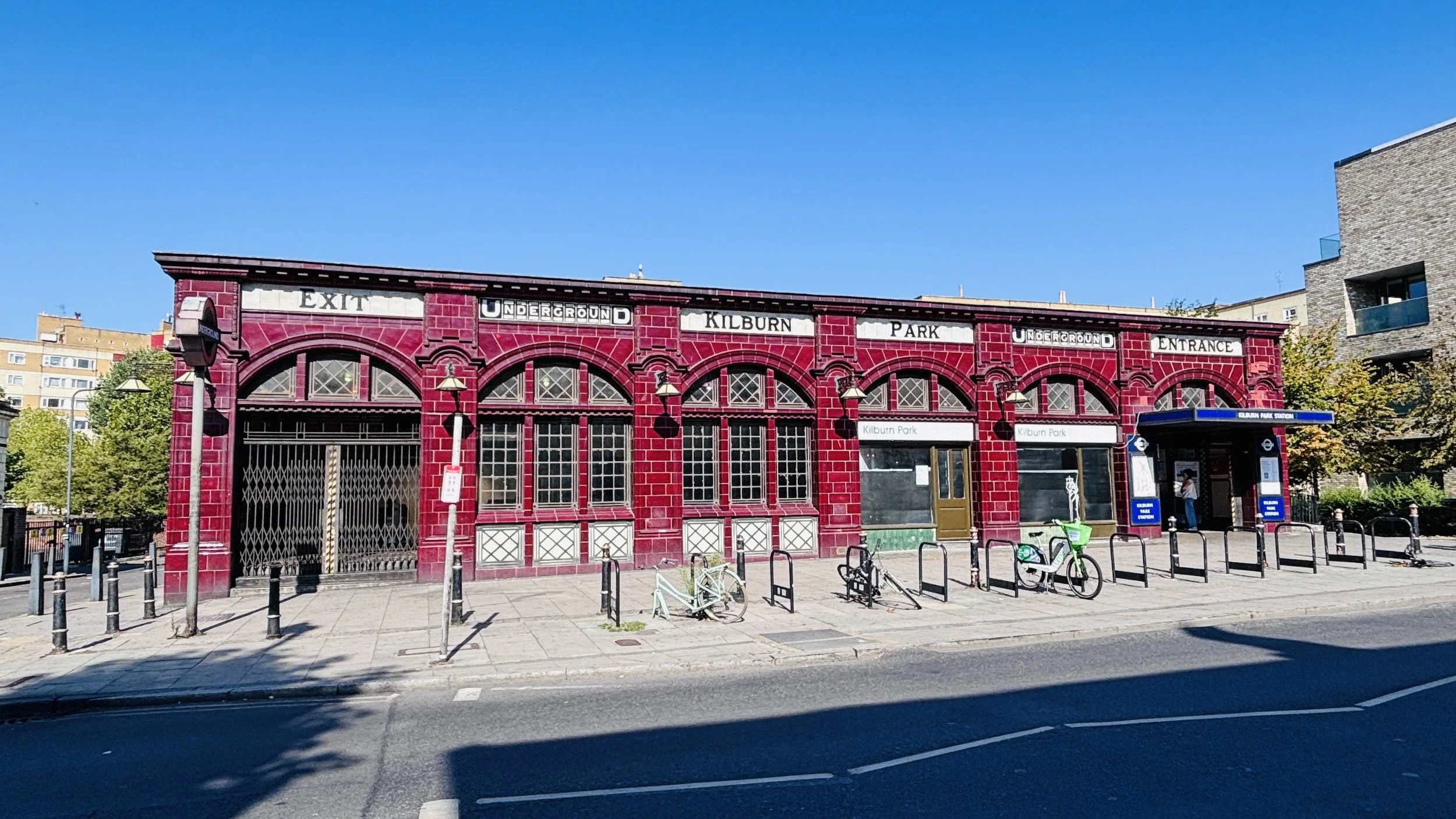
I drove to Harrow & Wealdstone station, parked up, and set off in a south-easterly direction. The first section of the route took me through the fairly residential north-west stretches of the line, through areas including Kenton, Wembley, Harlesden, and Queen's Park. There is nothing wrong with this section, but it is fairly residential and not massively distinct compared to what comes later.
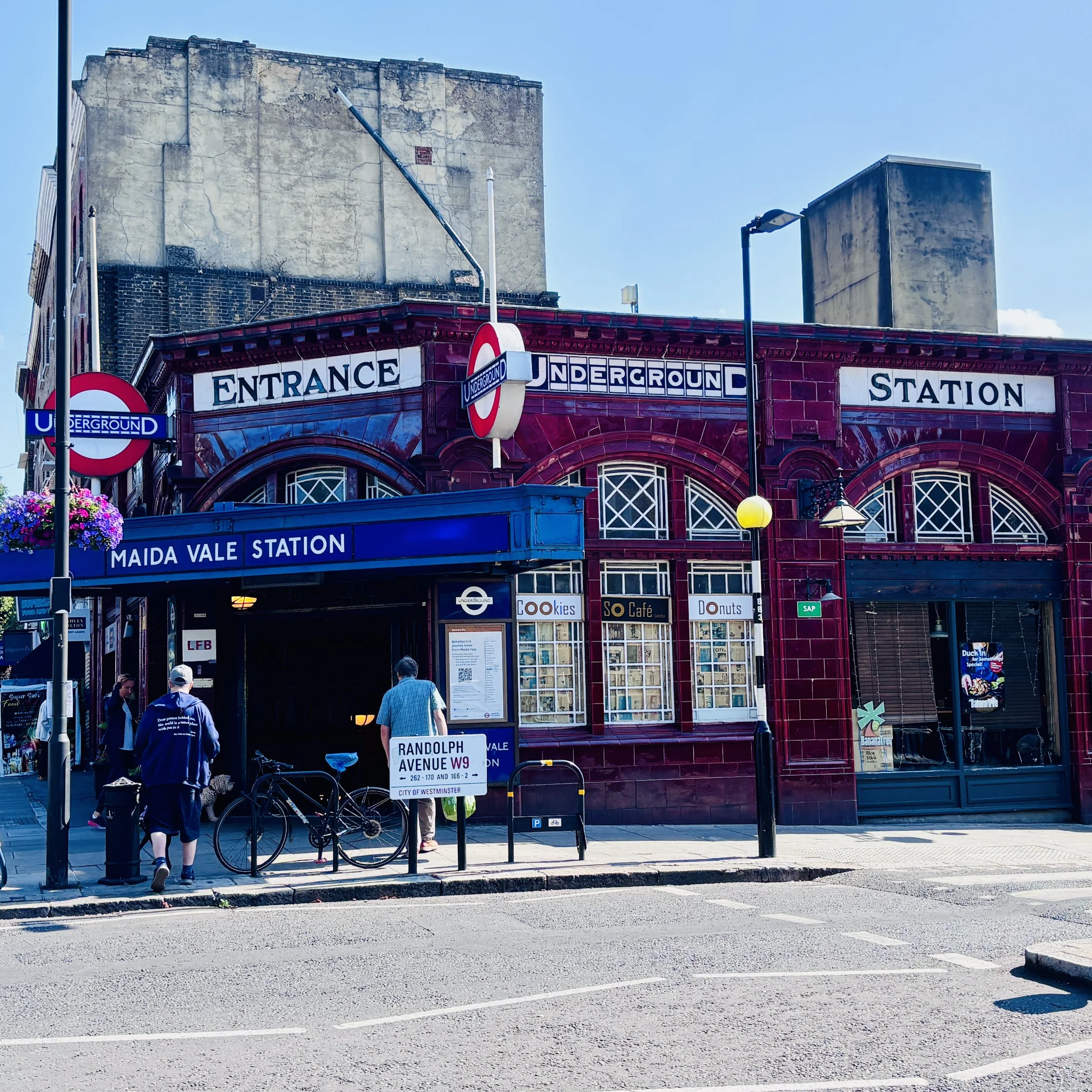
By the time I reached Maida Vale, I was well and truly ready for a coffee and a piece of cake. I ducked into a Starbucks, completely satisfied that I had done all the running I wanted to do for the day. While taking a breather there, I was at a site of Underground history: when Maida Vale opened in 1915 during the First World War, it was the first station on the network to be staffed entirely by women. From this point on, it was going to be a walk.
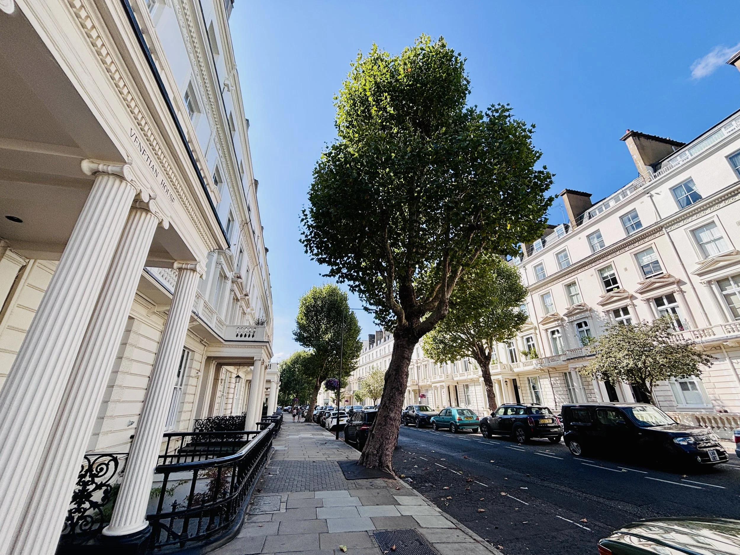
From Maida Vale onwards, the route gets more interesting as you enter the pleasant, affluent parts of north-west London. There is a lot more to see, so it made perfect sense to take it slow, conserve my energy, and actually take in the sights.
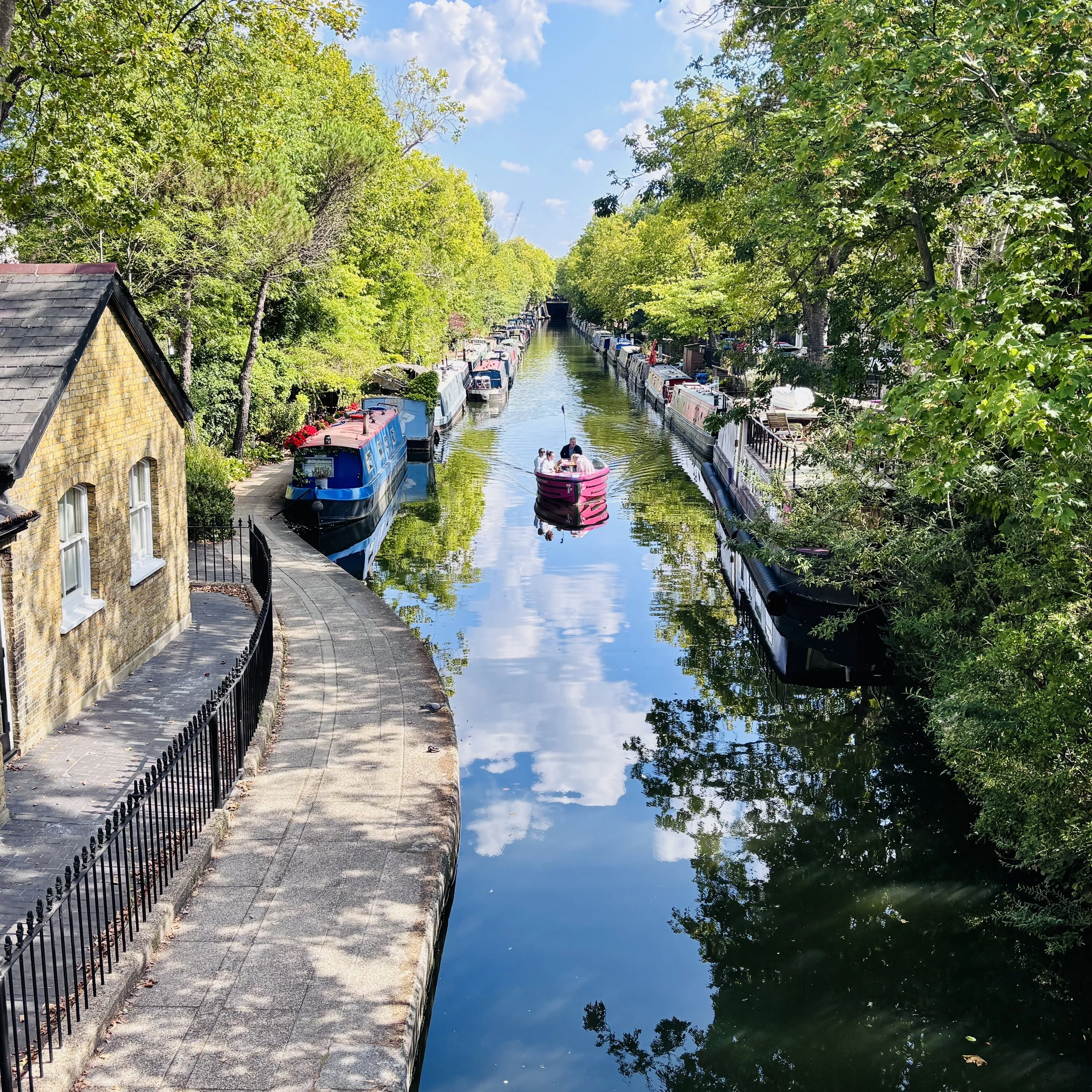
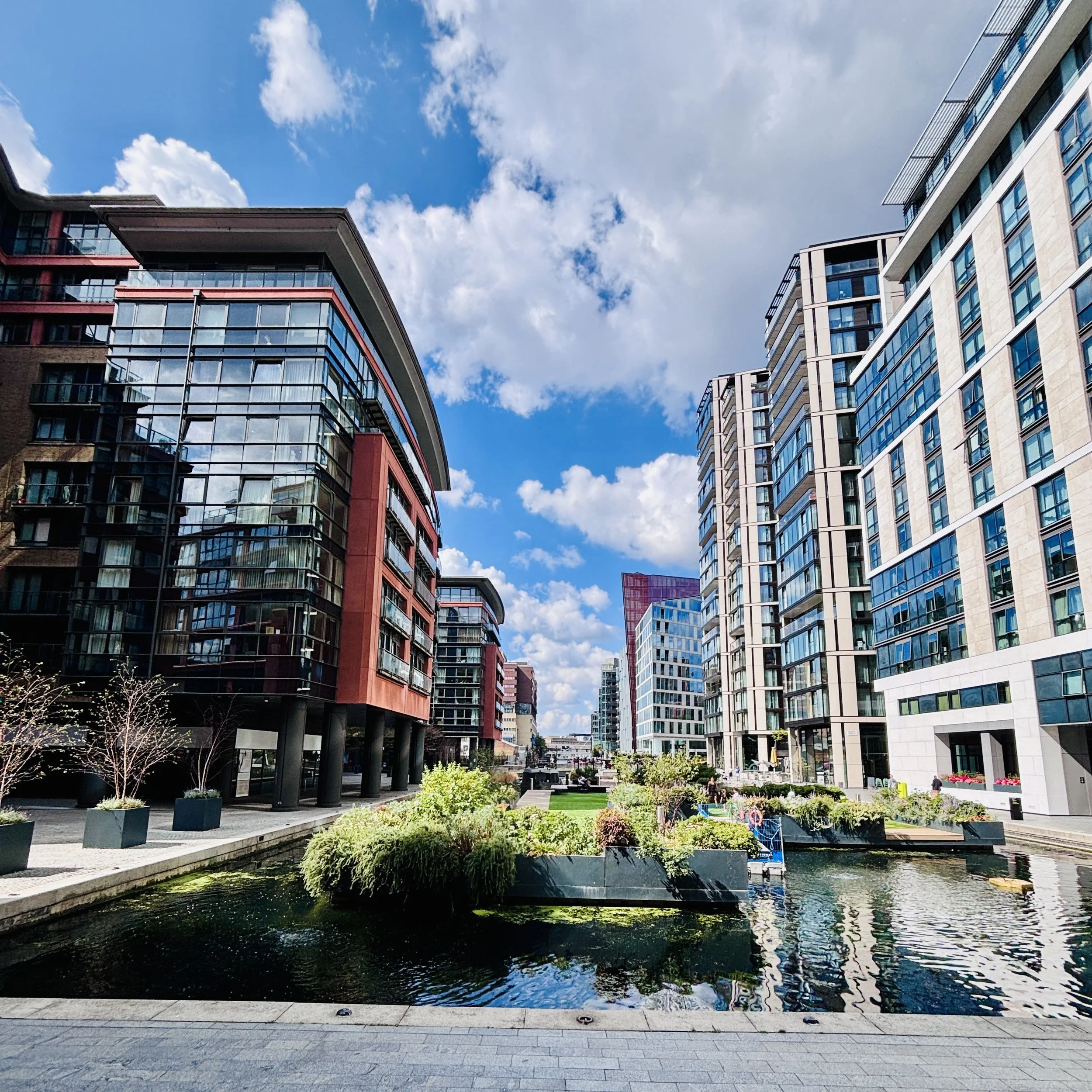
Shortly after Maida Vale, I hit the Grand Union Canal. This is very familiar territory for me as I work nearby, and I enjoyed the stroll through Paddington Basin before scooting around St. Mary's Hospital towards Edgware Road.
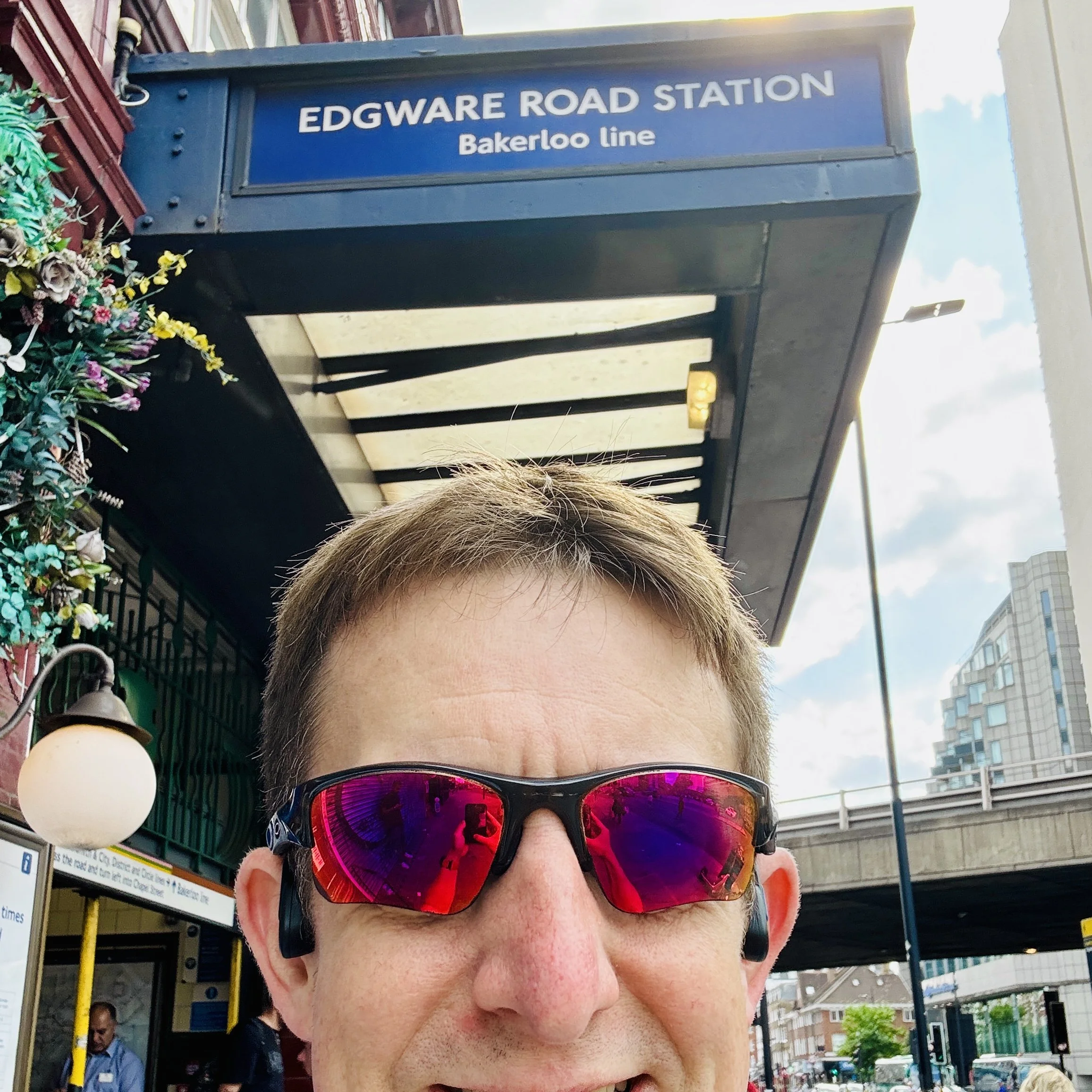
It was at Edgware Road that I encountered my first navigational issue. When mapping out the run, I had accidentally planned my route to the wrong Edgware Road station. As tube trivia fans will know, there are two stations with the same name located very close to each other, but they aren't physically connected. One serves the Hammersmith & City and Circle lines, while the other, situated on the opposite side of the A40, serves the Bakerloo line. Naturally, I ended up visiting both of them by accident.
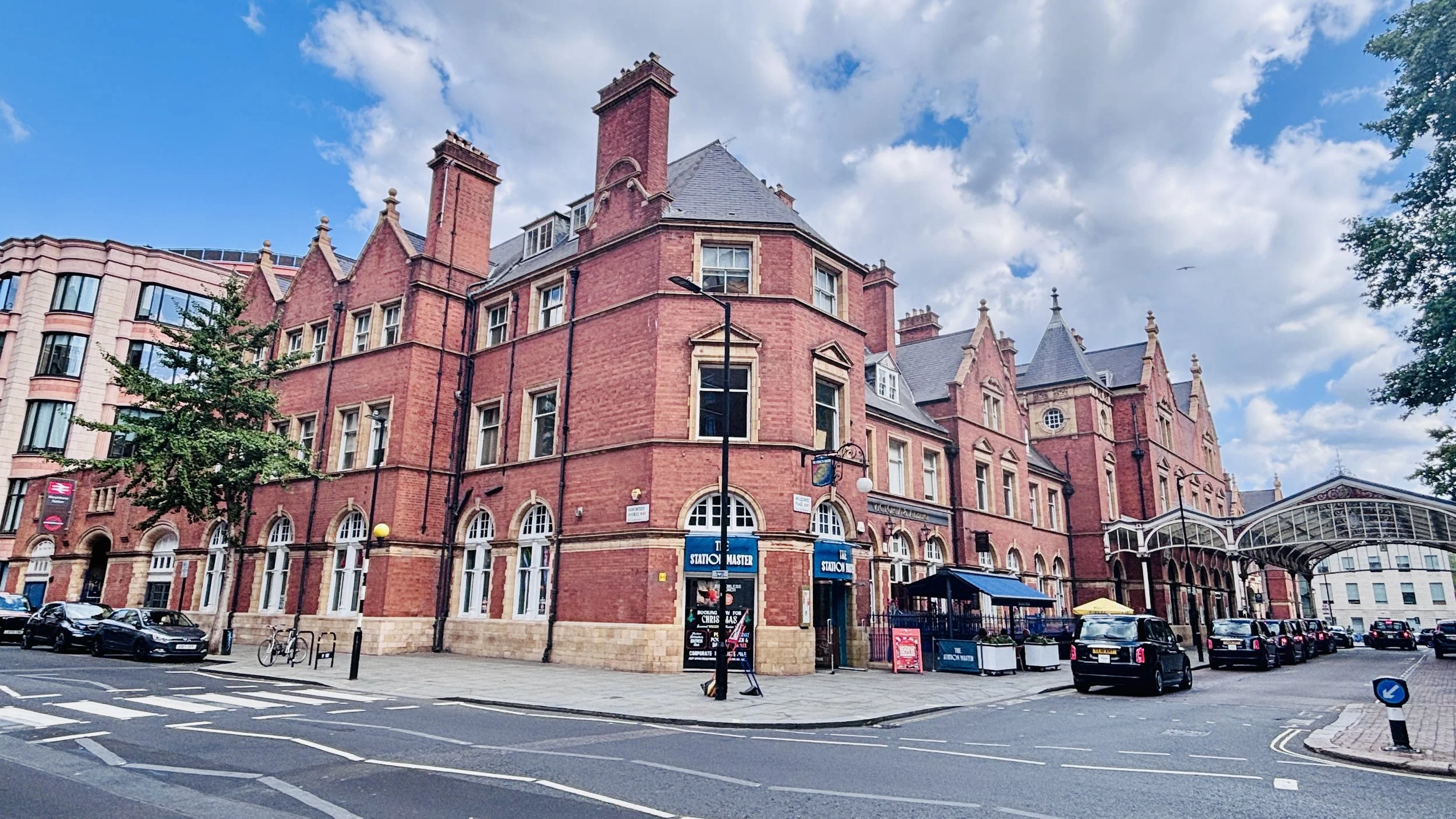
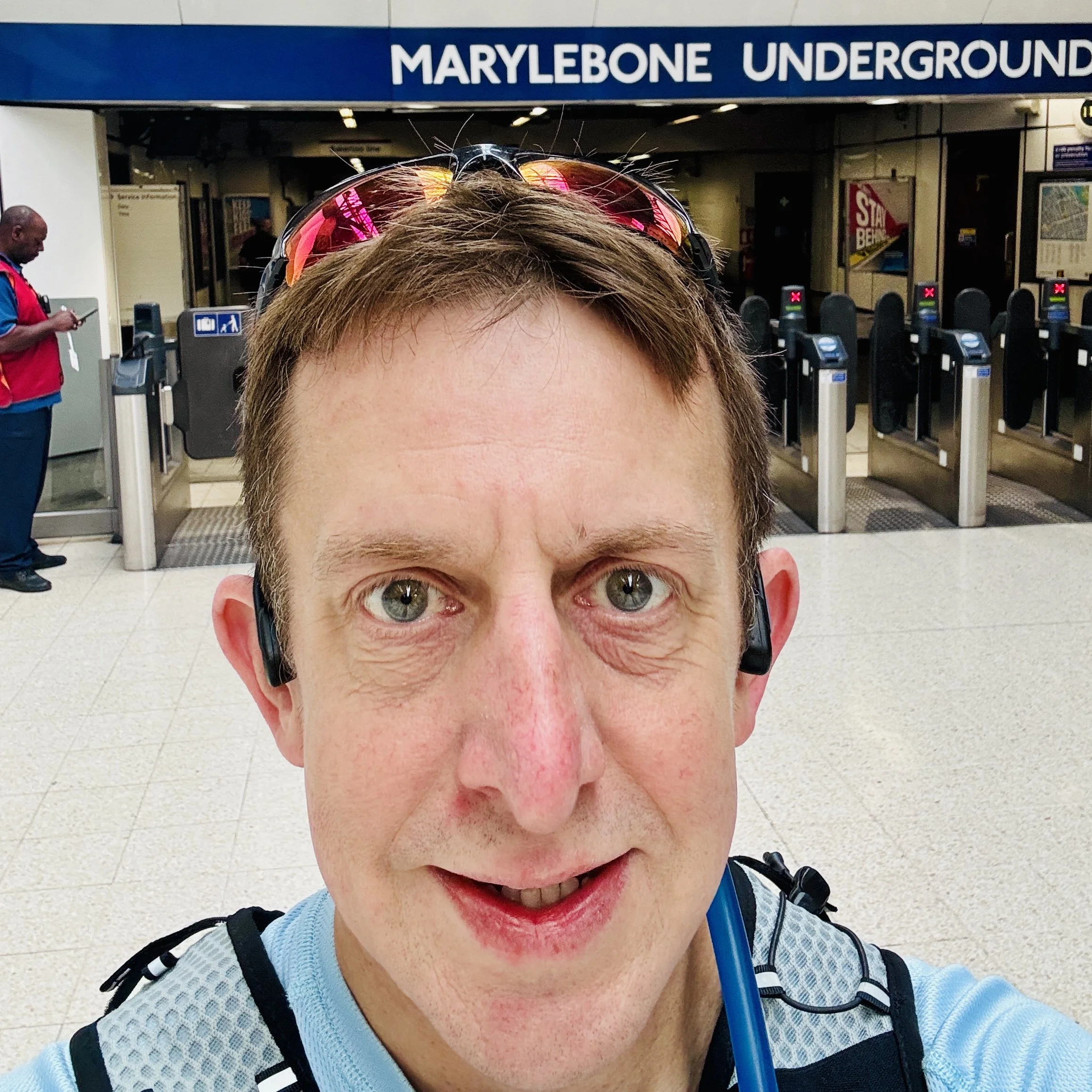
To compound my planning errors, I realised at Edgware Road that I had completely missed Marylebone station off my route list. Thankfully, I was able to divert and get that one in before heading on to Baker Street.
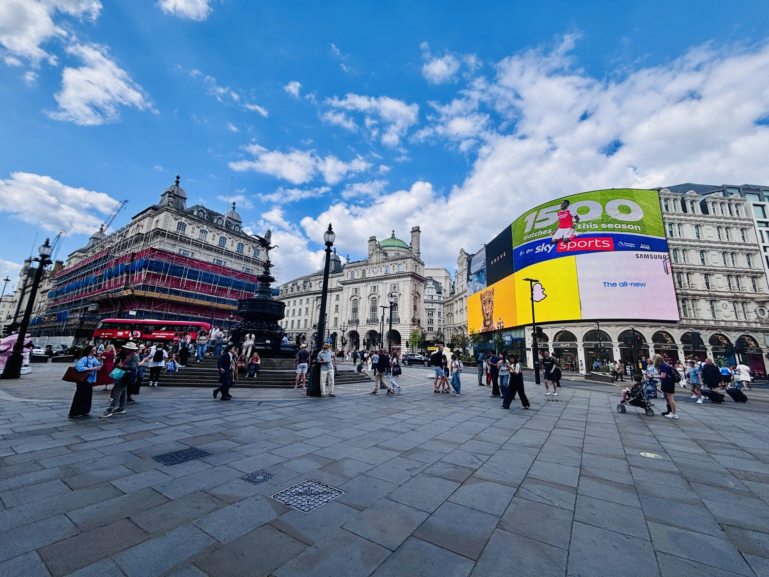
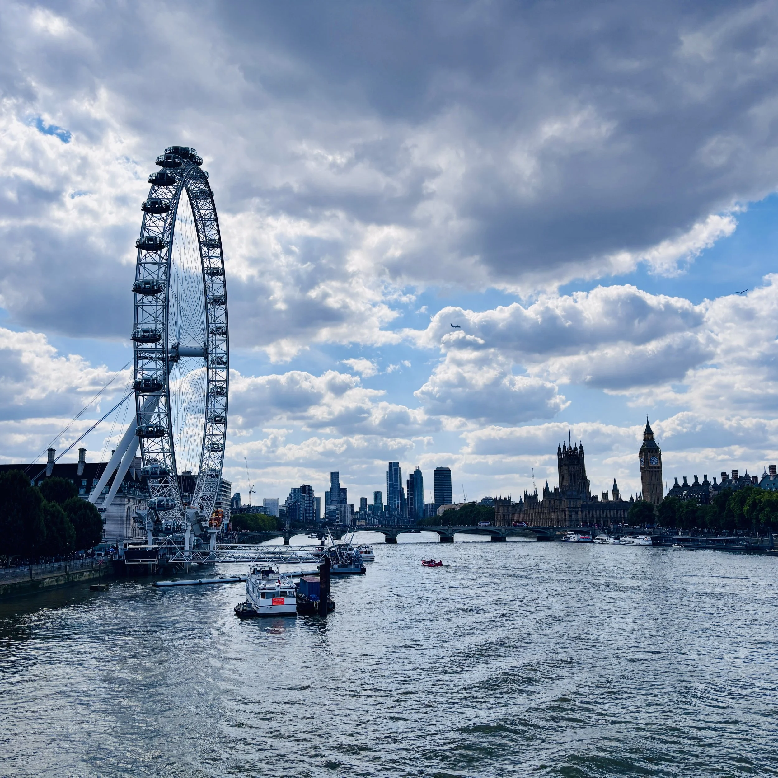
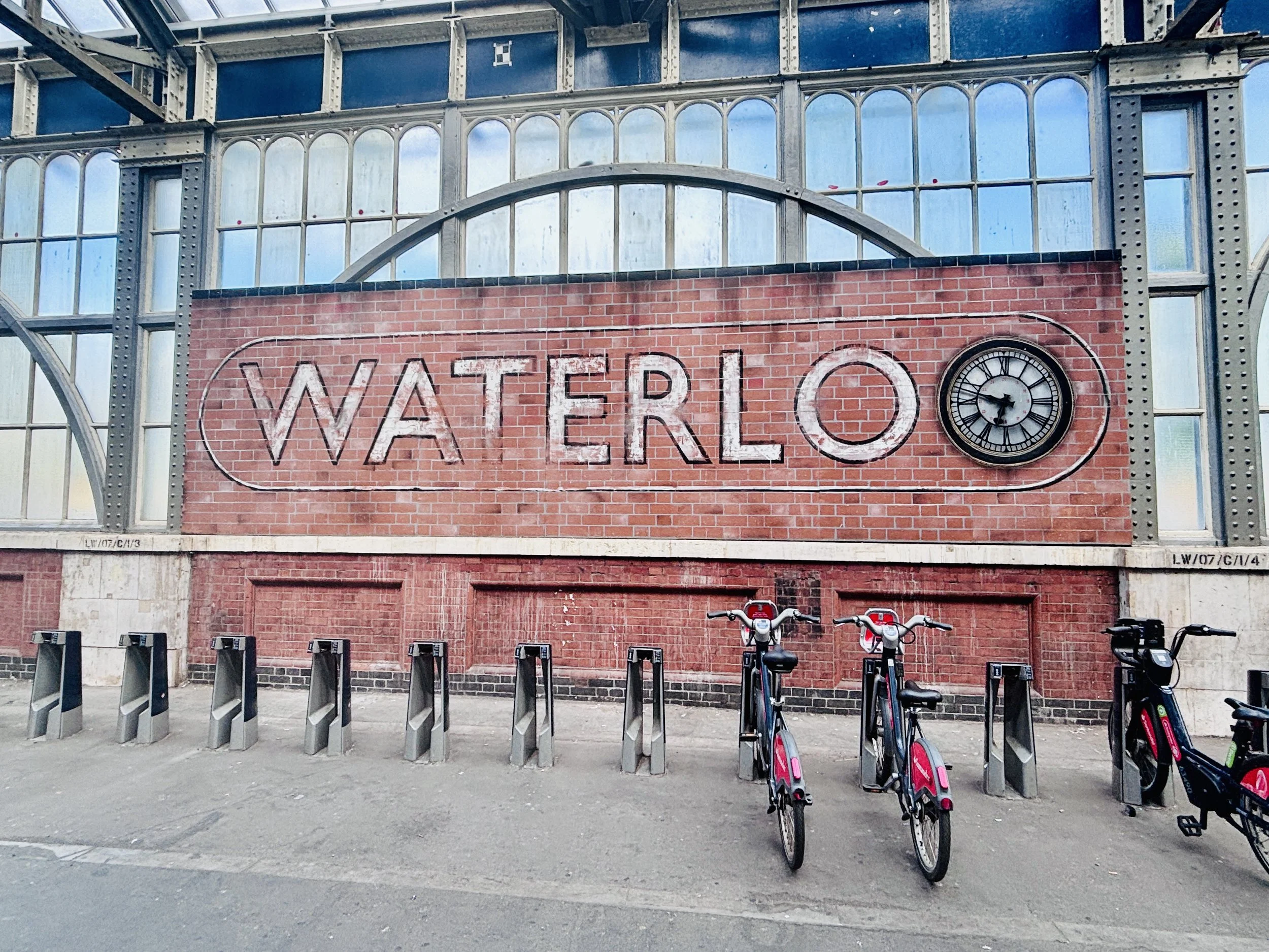
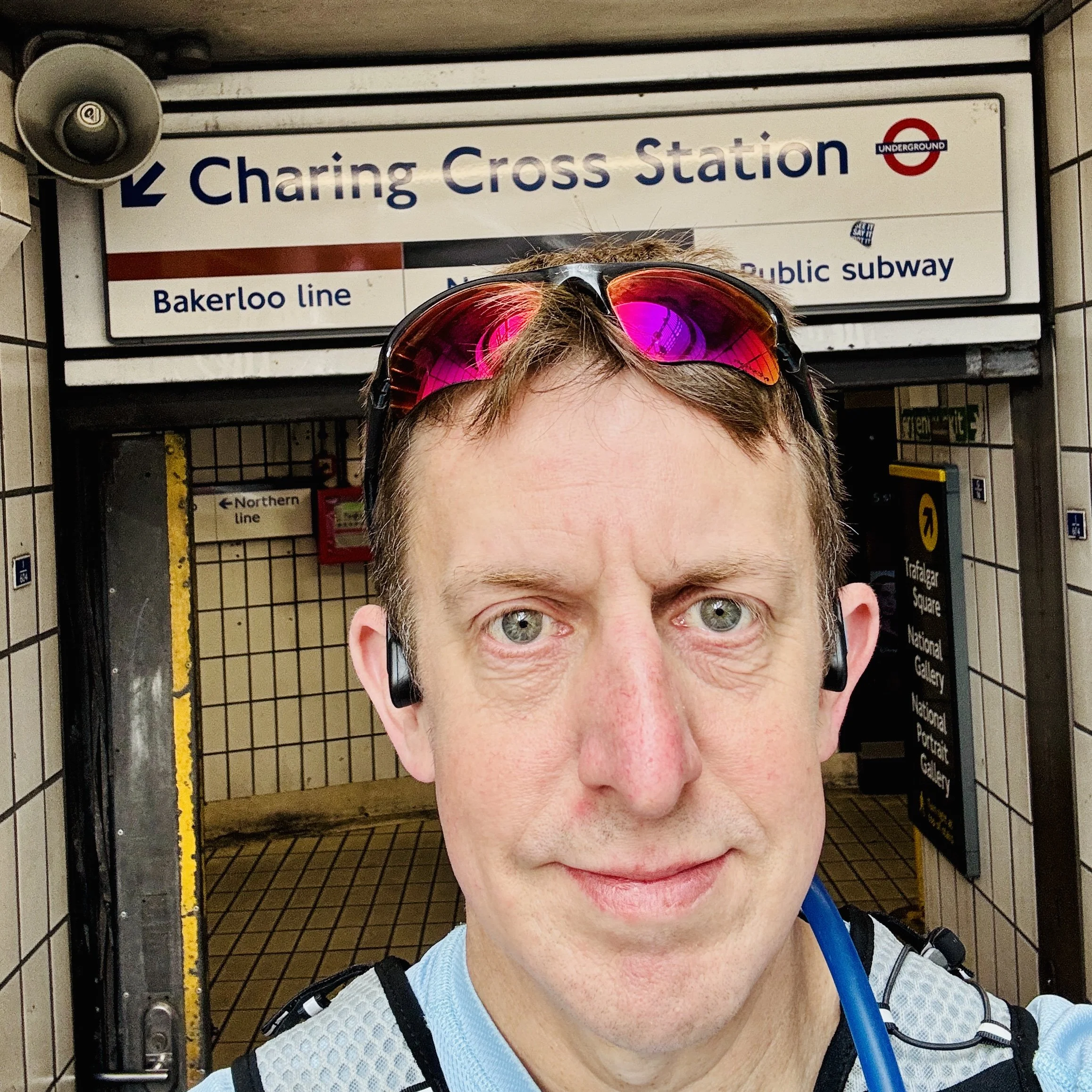
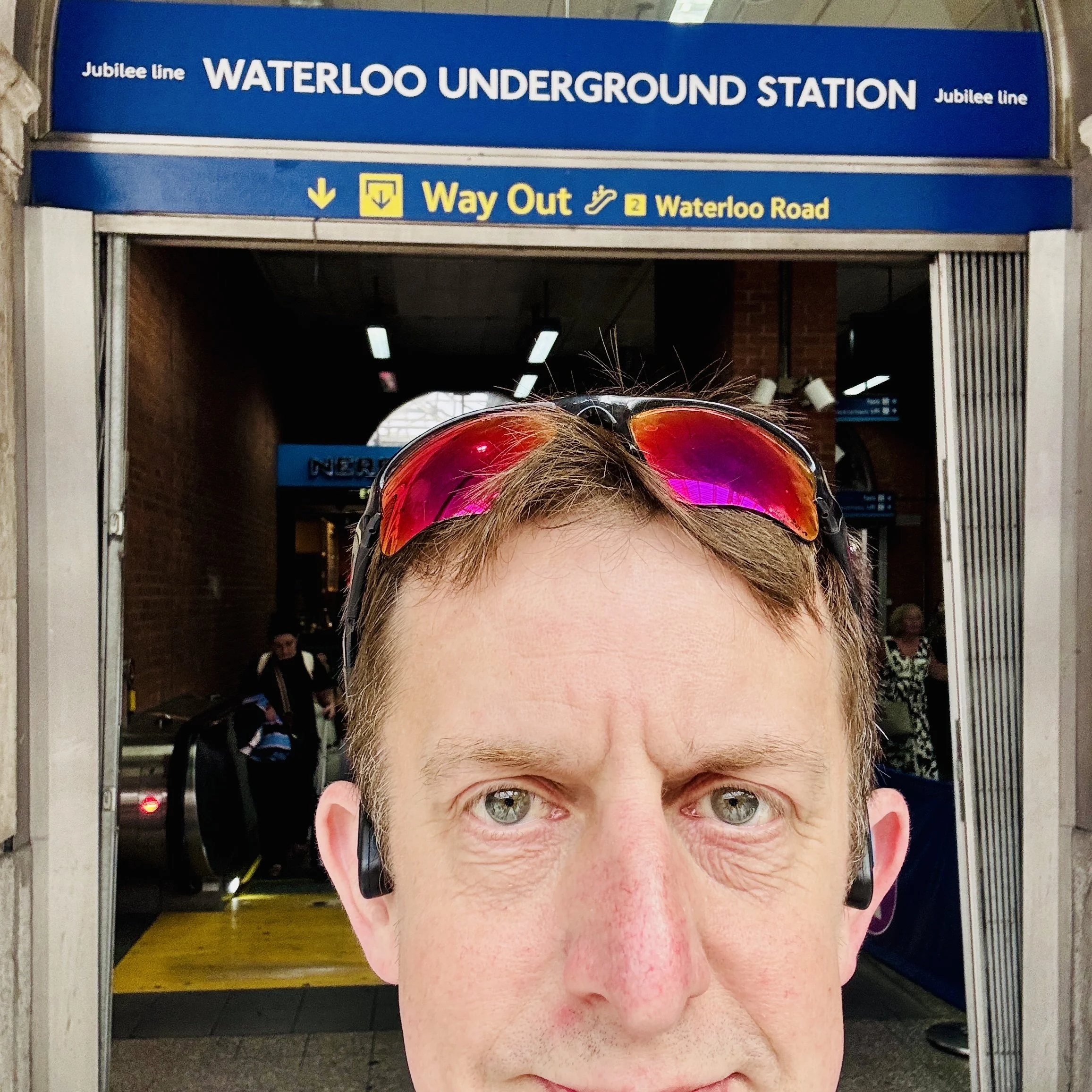
Upon reaching Regent's Park, the Bakerloo line takes a sharp right turn to the south. Interestingly, this station was actually an afterthought: it only received planning permission after construction had already begun on the rest of the line. I followed suit, walking down Regent Street, past the bustling crowds of Oxford Street, and on to Piccadilly Circus. From there, I headed down to Charing Cross and finally crossed the river towards Waterloo Station.
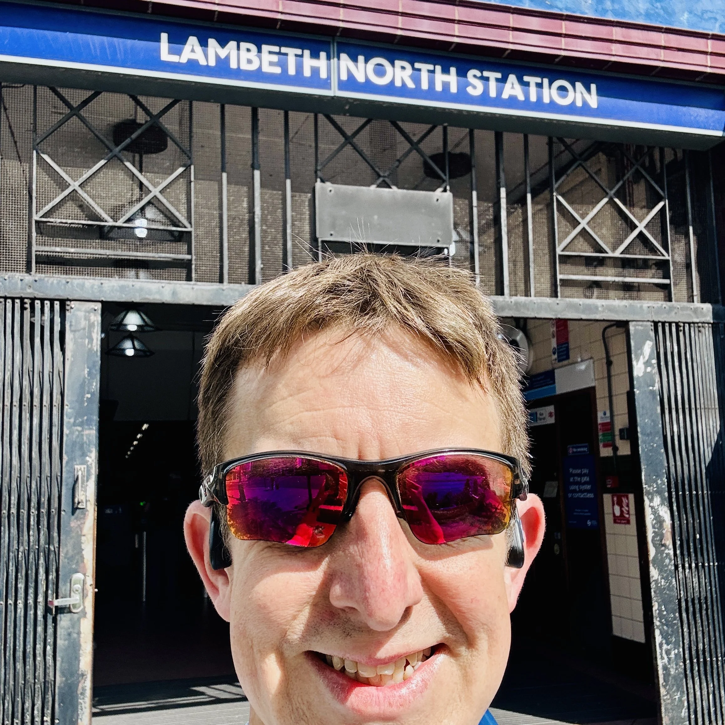
Arriving at Waterloo, my patchy route planning struck again. I realised I had also left Lambeth North out of my itinerary. It is quite ironic that I missed it, as the station has historically struggled with its own identity. When it opened in 1906, it was originally called Kennington Road, was renamed Westminster Bridge Road months later, and finally settled on Lambeth North in 1917. I made a quick detour south to visit it, snapping the required selfie before finally ending up at the southern terminus: Elephant & Castle.
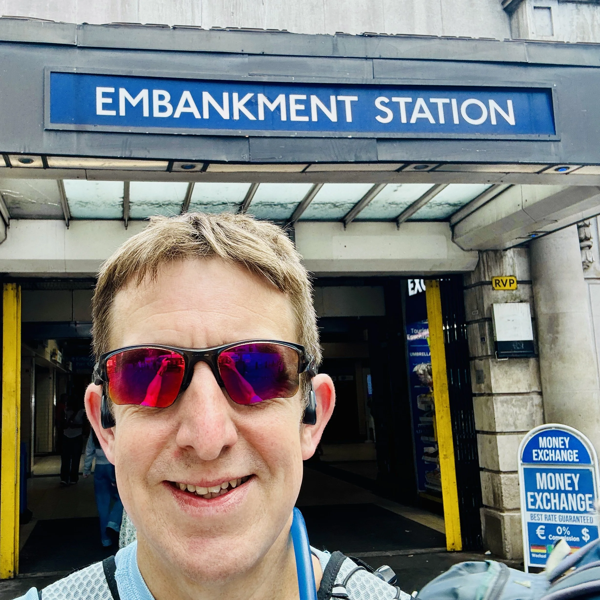
I had covered the 27 kilometres. The run/walk was complete. Or so I thought. As I stood at Elephant & Castle, reviewing the day's efforts, I had a sudden, sinking realisation. I had walked straight past Embankment station without getting a selfie.
There was only one thing to do. I hopped on the Bakerloo line at Elephant & Castle, rode it a few stops north, and got out at Embankment to take the forgotten selfie. Mission officially accomplished, I got back on the train and took the tube all the way back up to Harrow & Wealdstone to collect my car and head home.
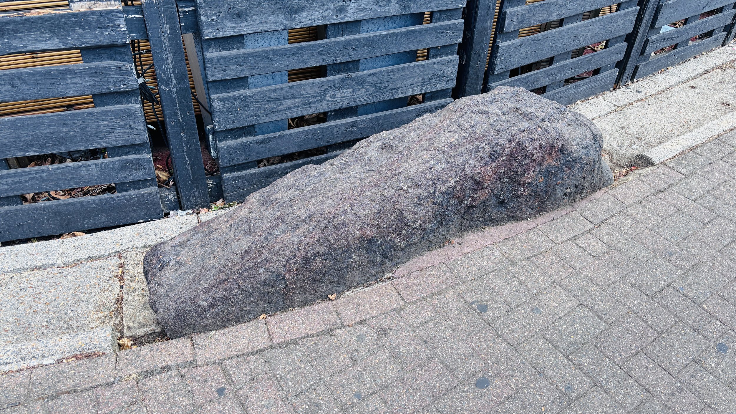
Back at Harrow & Wealdstone station, I decided to do a little extra bit of geekery by finding the eponymous Weald Stone. It is a seven-minute drive away, sitting unassumingly outside the Bombay Central restaurant on a roundabout.
It turns out that this ancient stone traditionally marked the old boundary between the parishes of Harrow and Harrow Weald. Interestingly, it is a sarsen stone, which is the exact same type of stone used to build Stonehenge. Finding this quirky piece of history made for a very satisfying end to a weekend of adventures.
Start: Harrow & Wealdstone Station, The Bridge, High St, Harrow HA3 5BP
Finish: Elephant & Castle Station, Bakerloo Line, Elephant and Castle, London SE1 6LW
Distance: 27 km (16.8 miles)
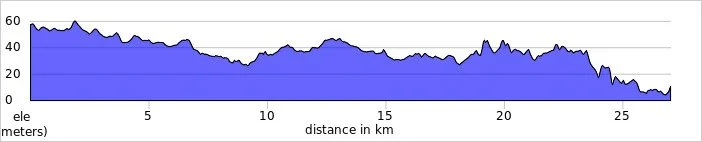
Elevation change: +145m /-193m. Net -48m
GPX File: get via Buy Me a Coffee
Other routes touched (Walk): Capital Ring, Regents Canal Towpath, Jubilee Greenway, Thames Path
Other routes touched (Cycle): C3, C5, C6, C27, C57, NCN4
Map: OS Explorer Map (173) London North, The City, West End, Enfield, Ealing, Harrow & Watford
More London Posts
If you enjoyed reading this post, there is plenty more to explore across the capital. I have put together a dedicated London Outdoors page where I keep track of all my other adventures around the city. It is a handy index where I group my posts by the different types of places I have visited: including historic boundary lines, canal towpaths, and some surprising urban high points.
The collection covers a bit of everything: from long-distance cycling routes to tracing the underground network on foot, and ticking off another Saturday morning parkrun. If you are looking for some inspiration for your own weekend outings, head back over to the London Outdoors page to see what else I have been up to.