Trading the familiar hum of the rails for the rhythm of the pedals, my latest London Underground challenge took a slightly different form. Shortly after completing my runs of both the Circle and Bakerloo lines, I was keen to tackle the Metropolitan Line. Opened on January 10, 1863, the Metropolitan was the world’s first underground railway, pioneered using the "cut-and-cover" construction method. Given its sheer length and sprawling suburban spurs, I decided to swap my running shoes for two wheels. This journey took me from the quiet lanes of the Chilterns right into the beating heart of the capital.
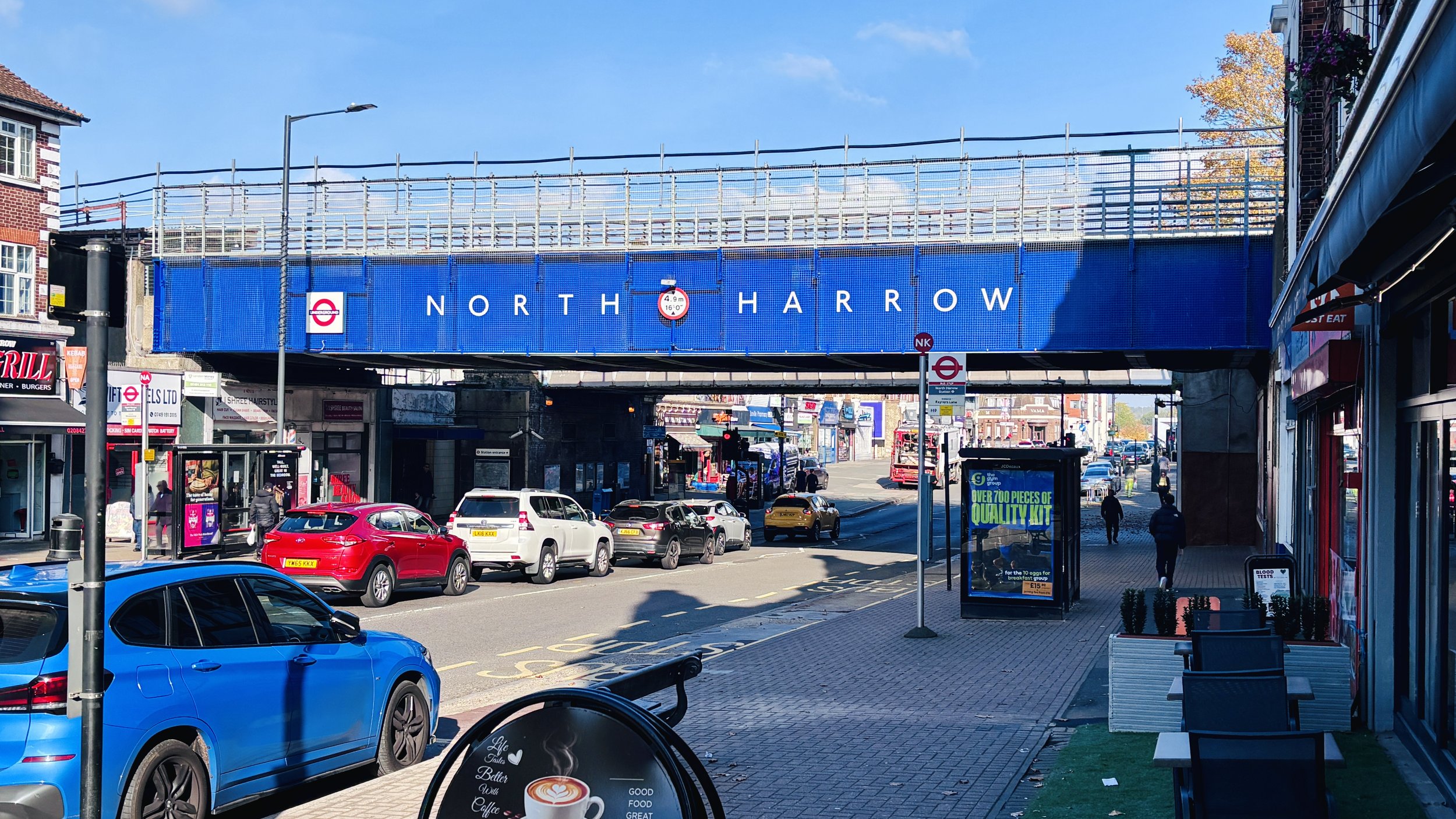
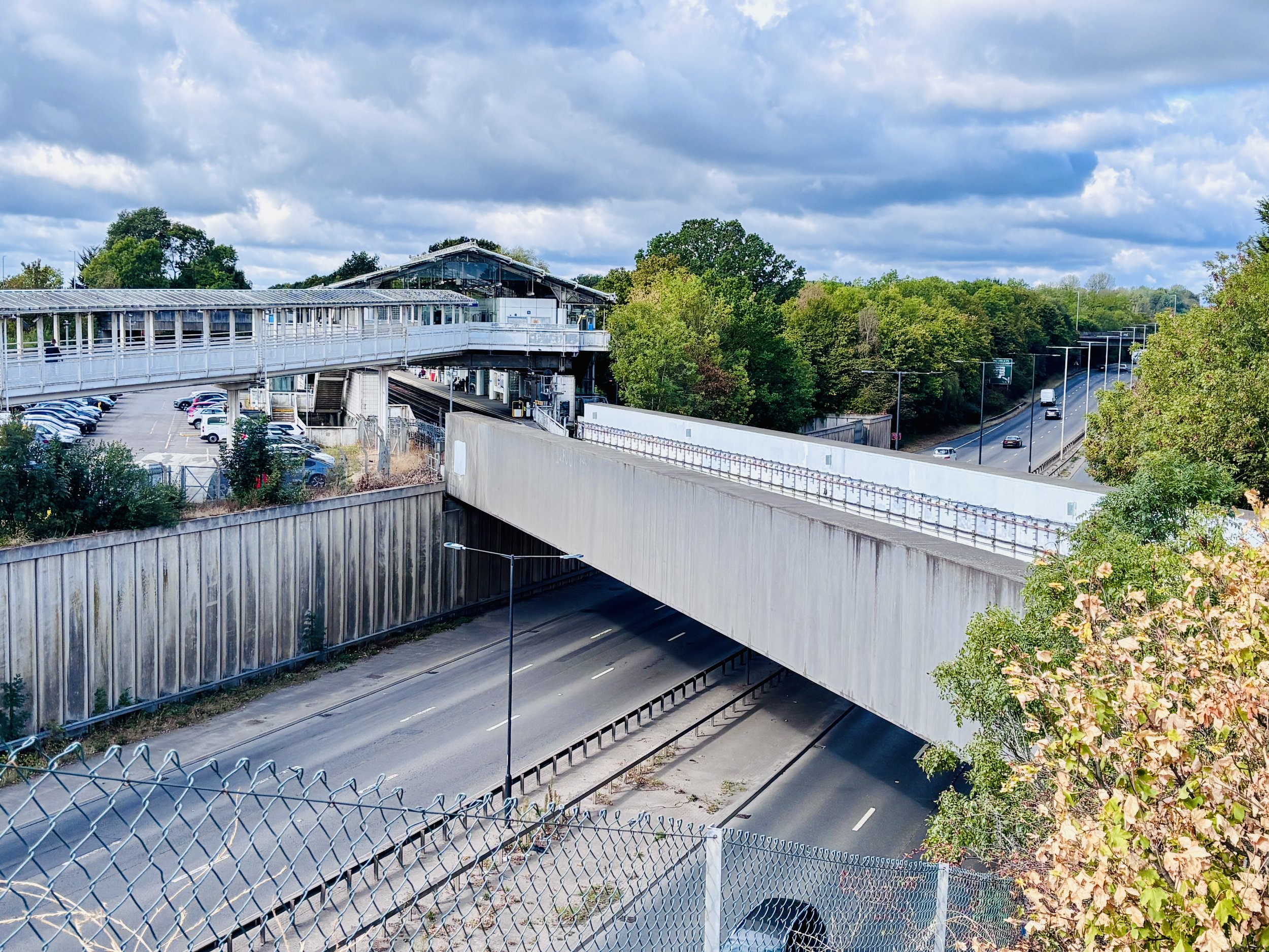
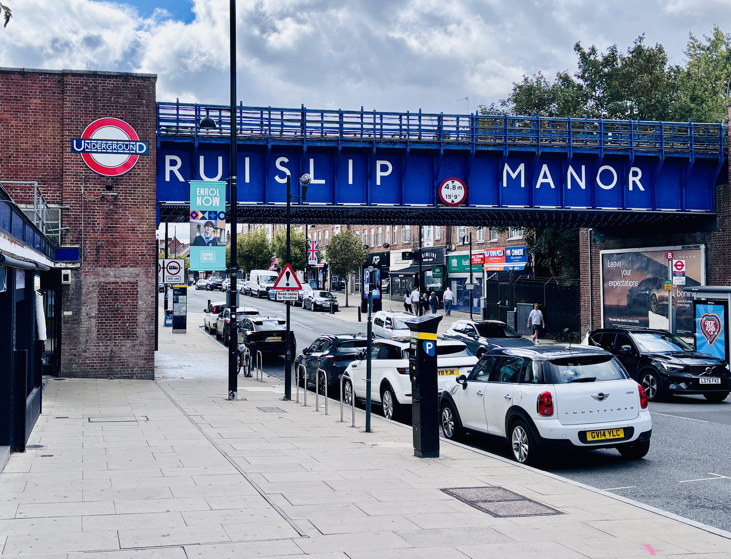
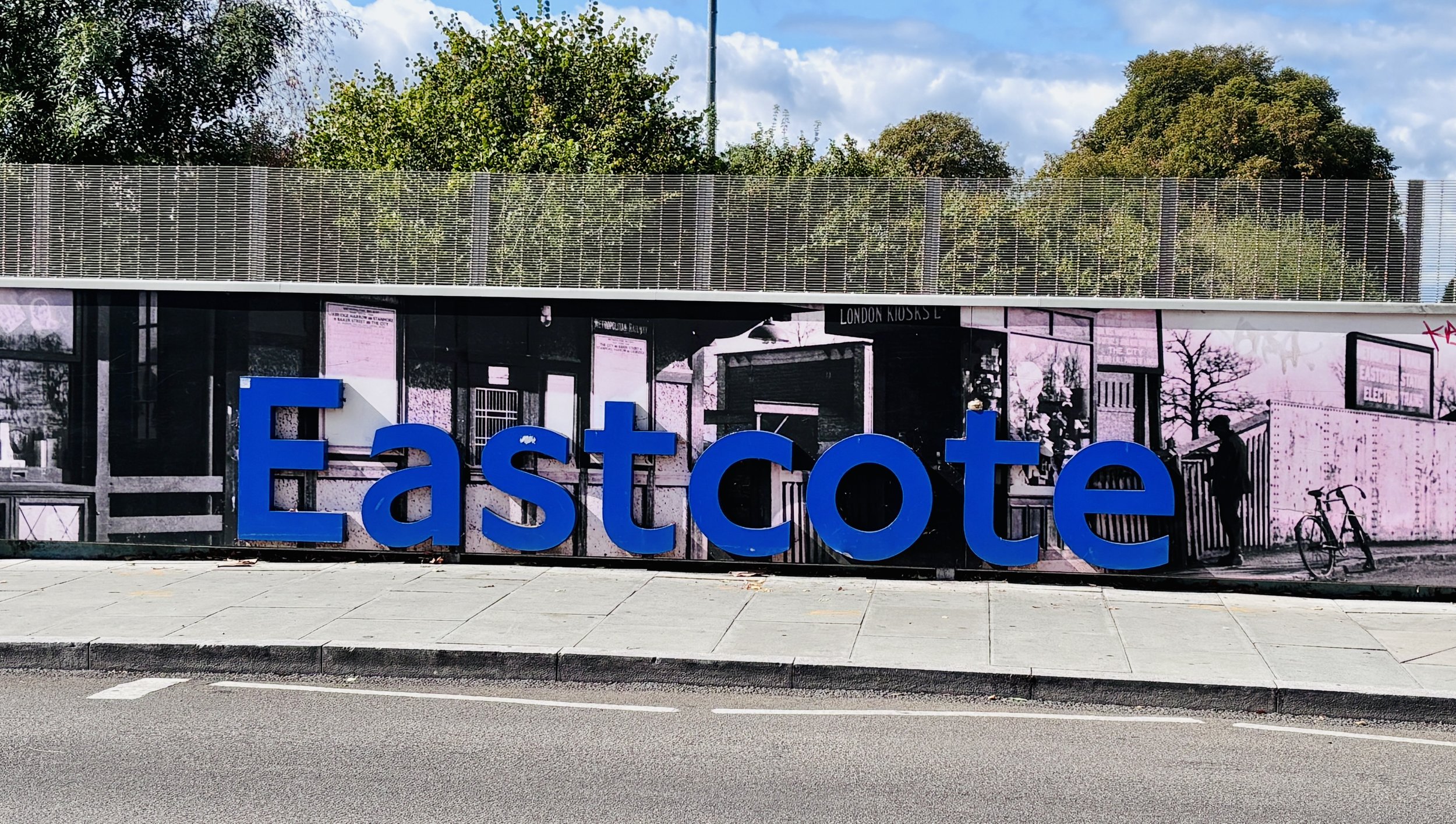
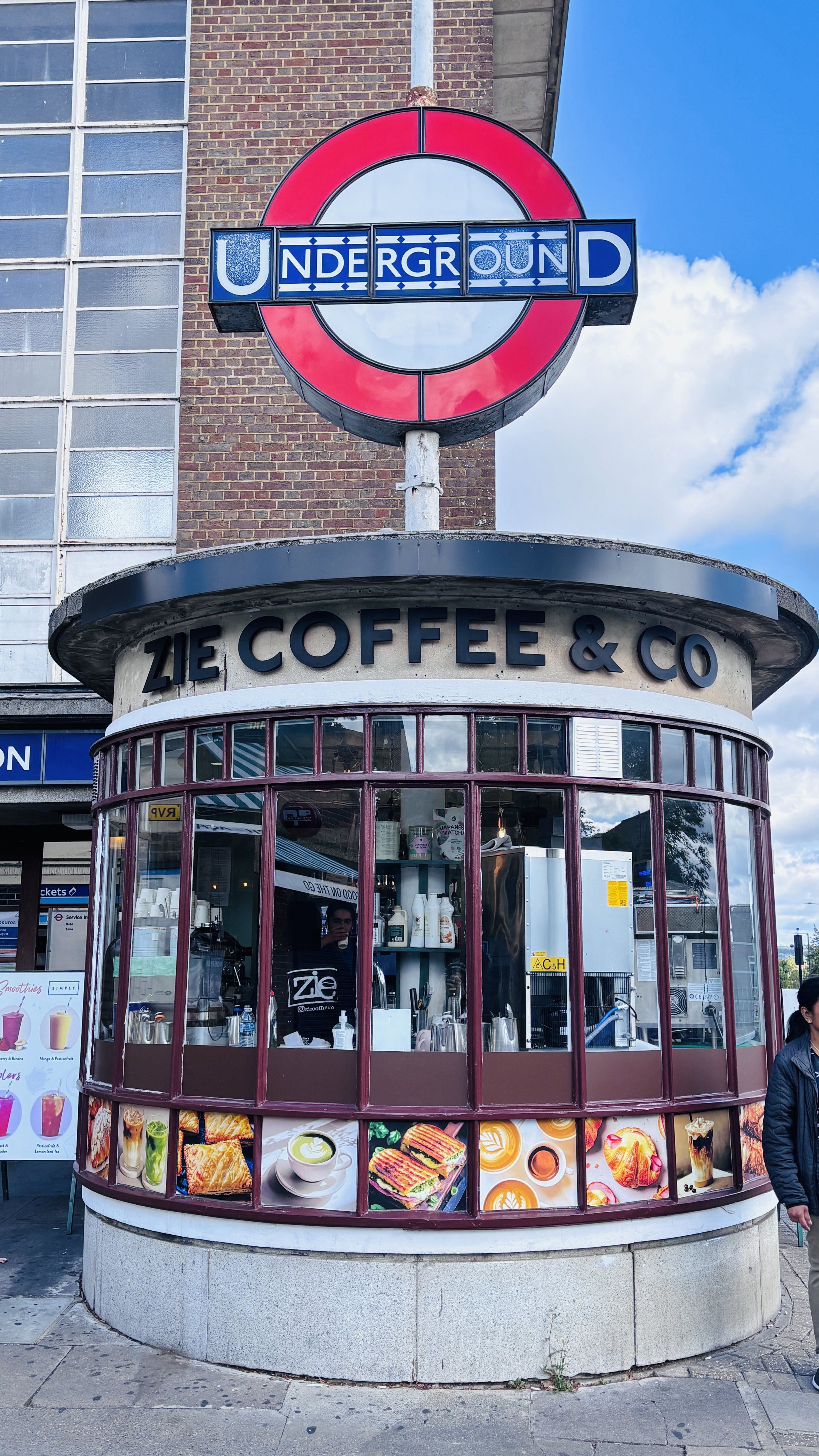
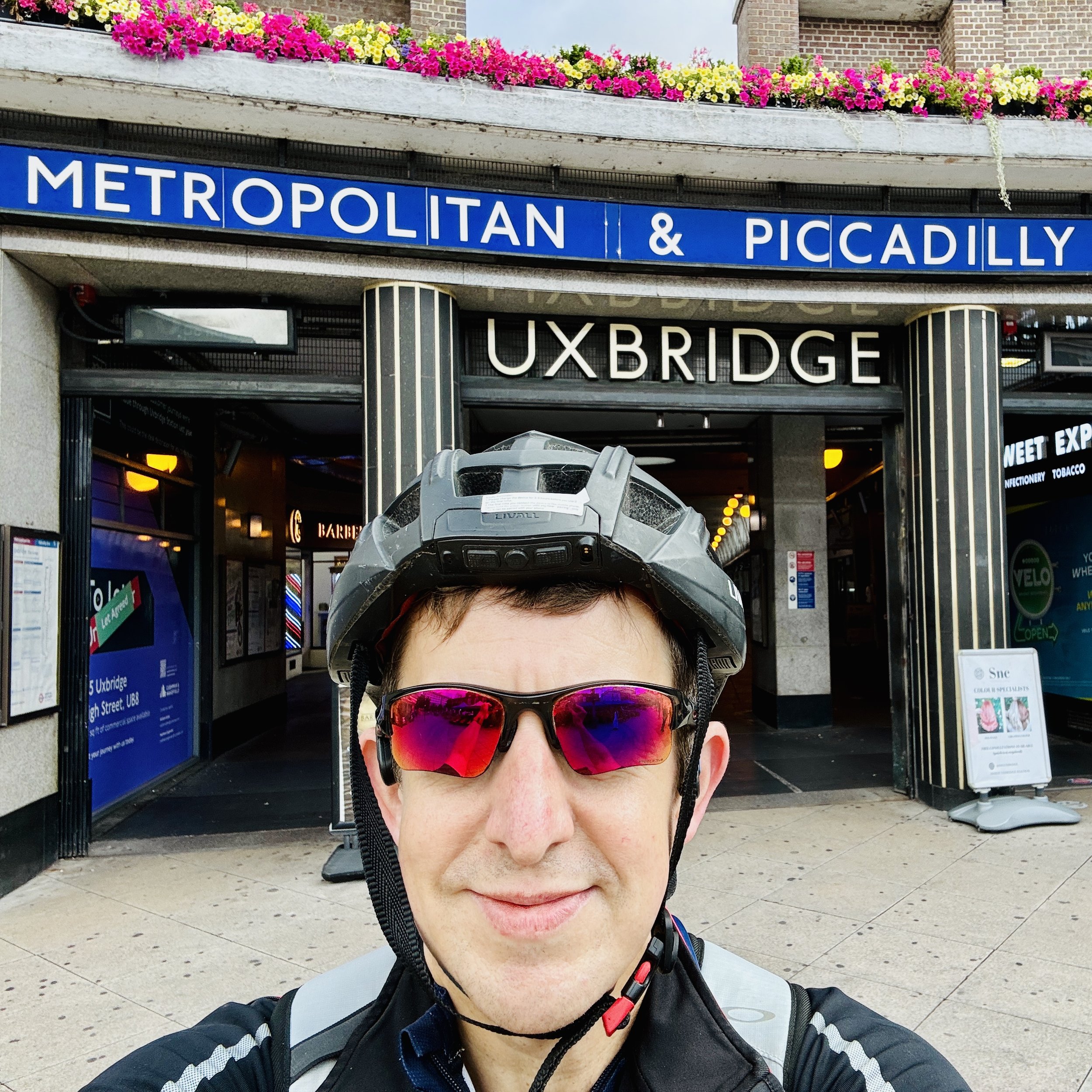
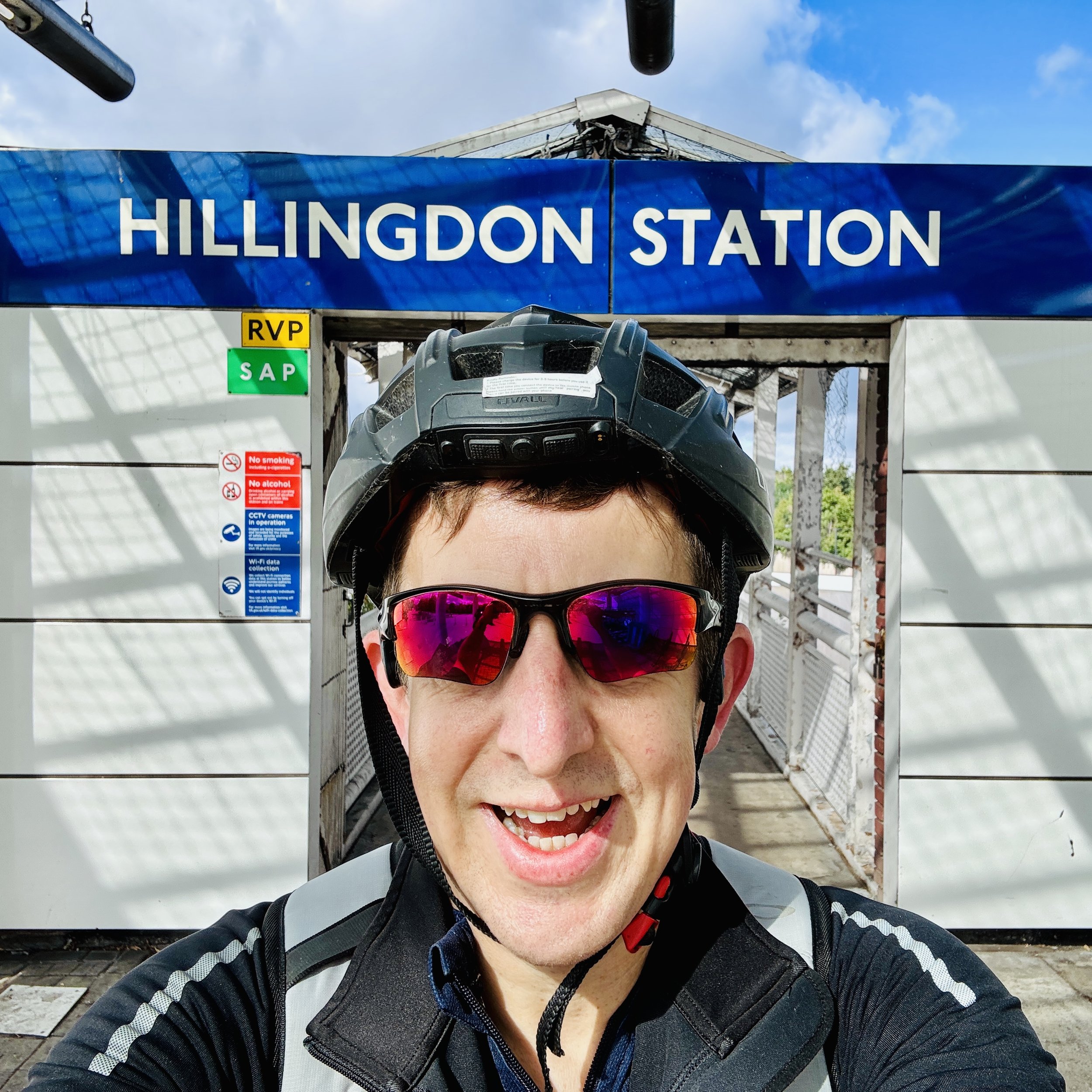
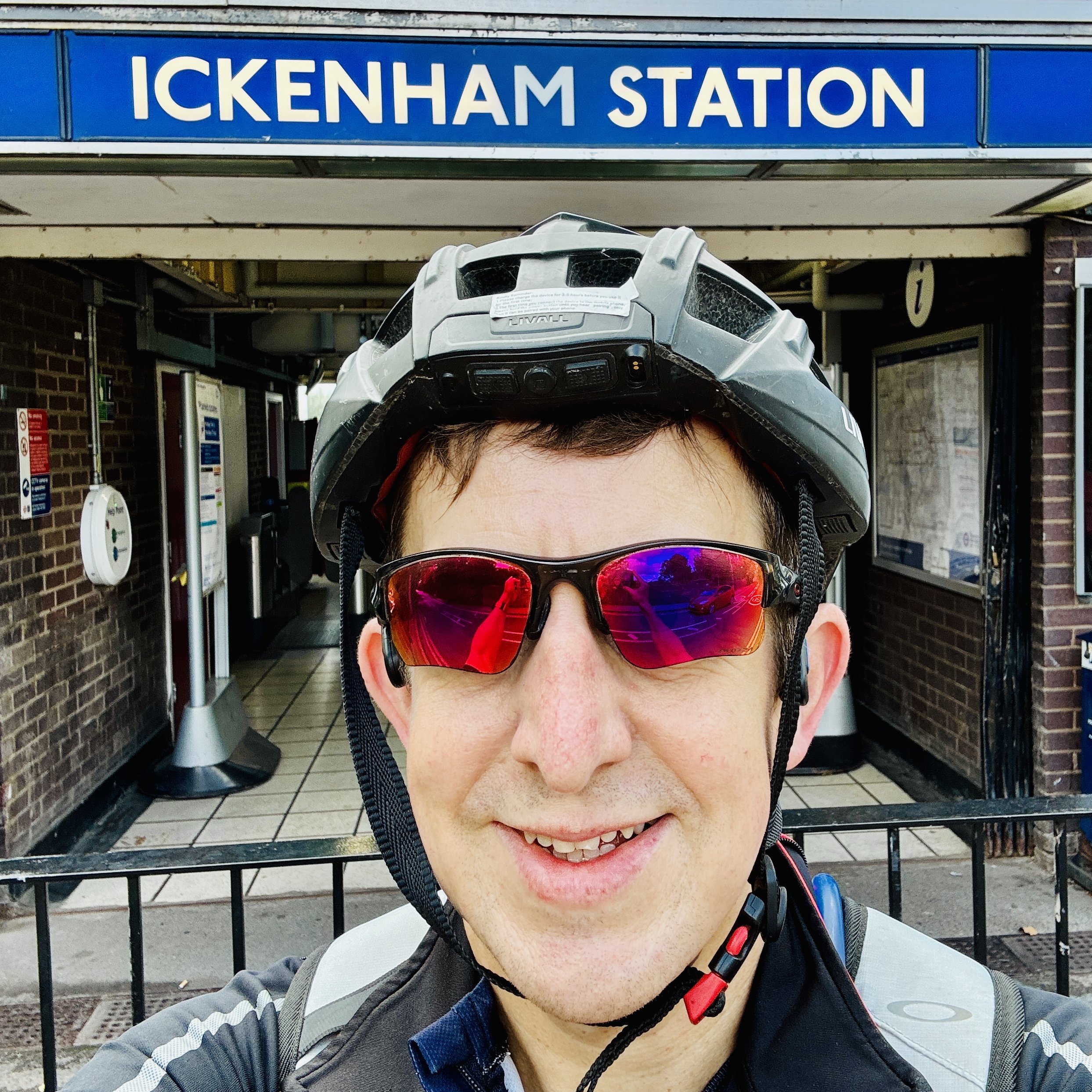
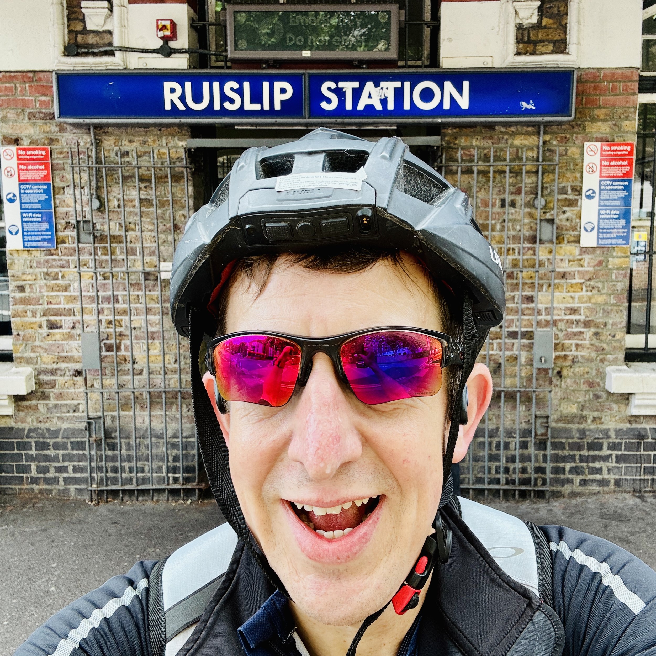
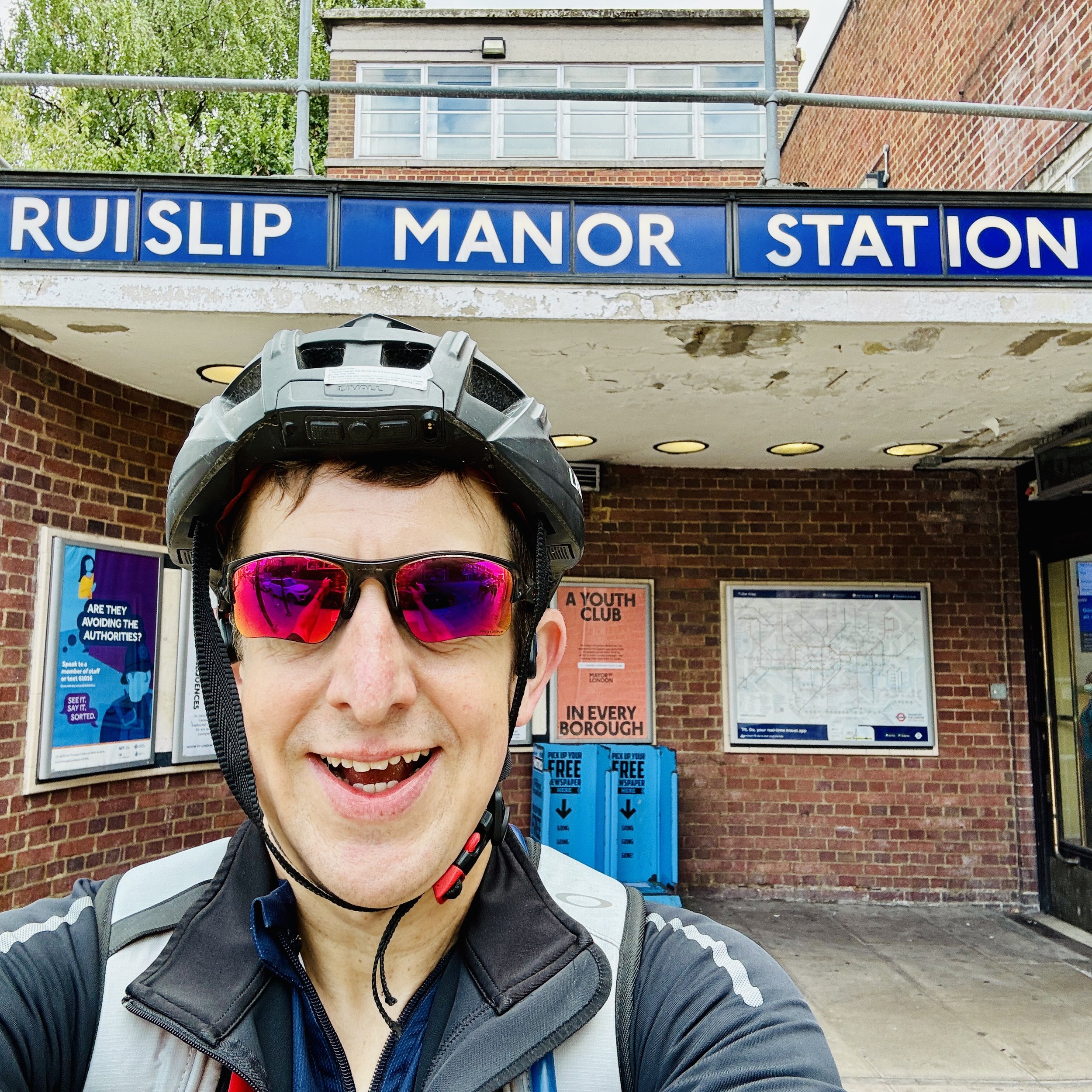
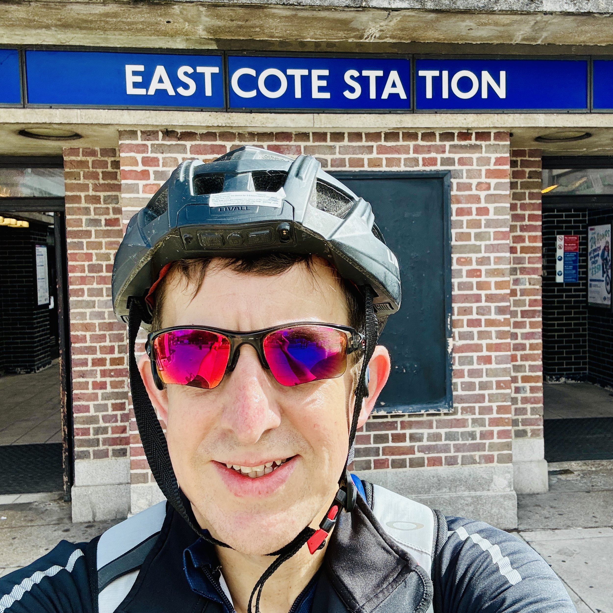
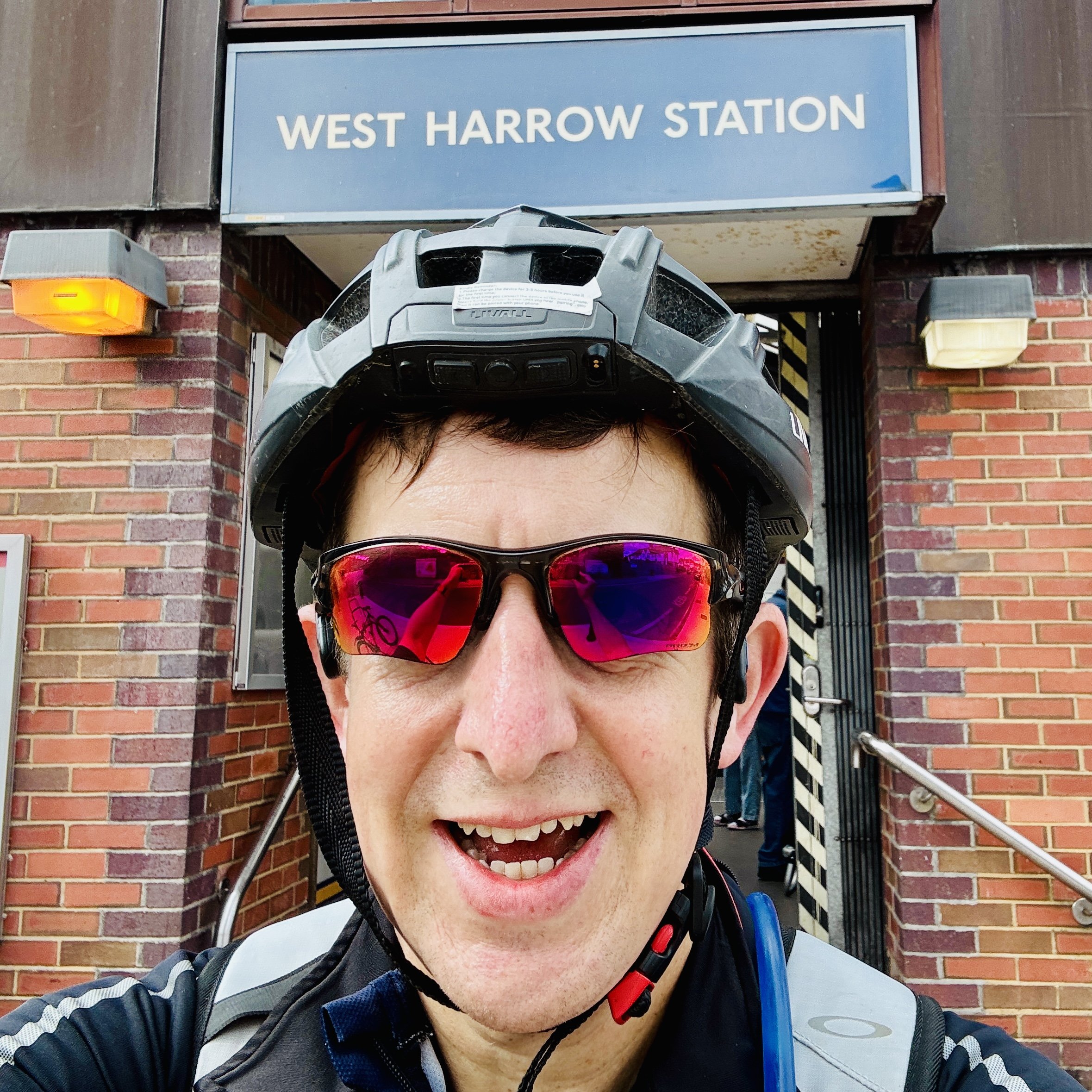
My Metropolitan Line adventure began solo, not in the heart of the city, but on the outer fringe at Uxbridge. Leaving the station behind, the route pulled me through suburban pockets like Hillingdon, Ickenham, Eastcote, and West Harrow, where quiet residential streets gradually gave way to greener expanses as I joined the main line between Pinner and North Harrow.
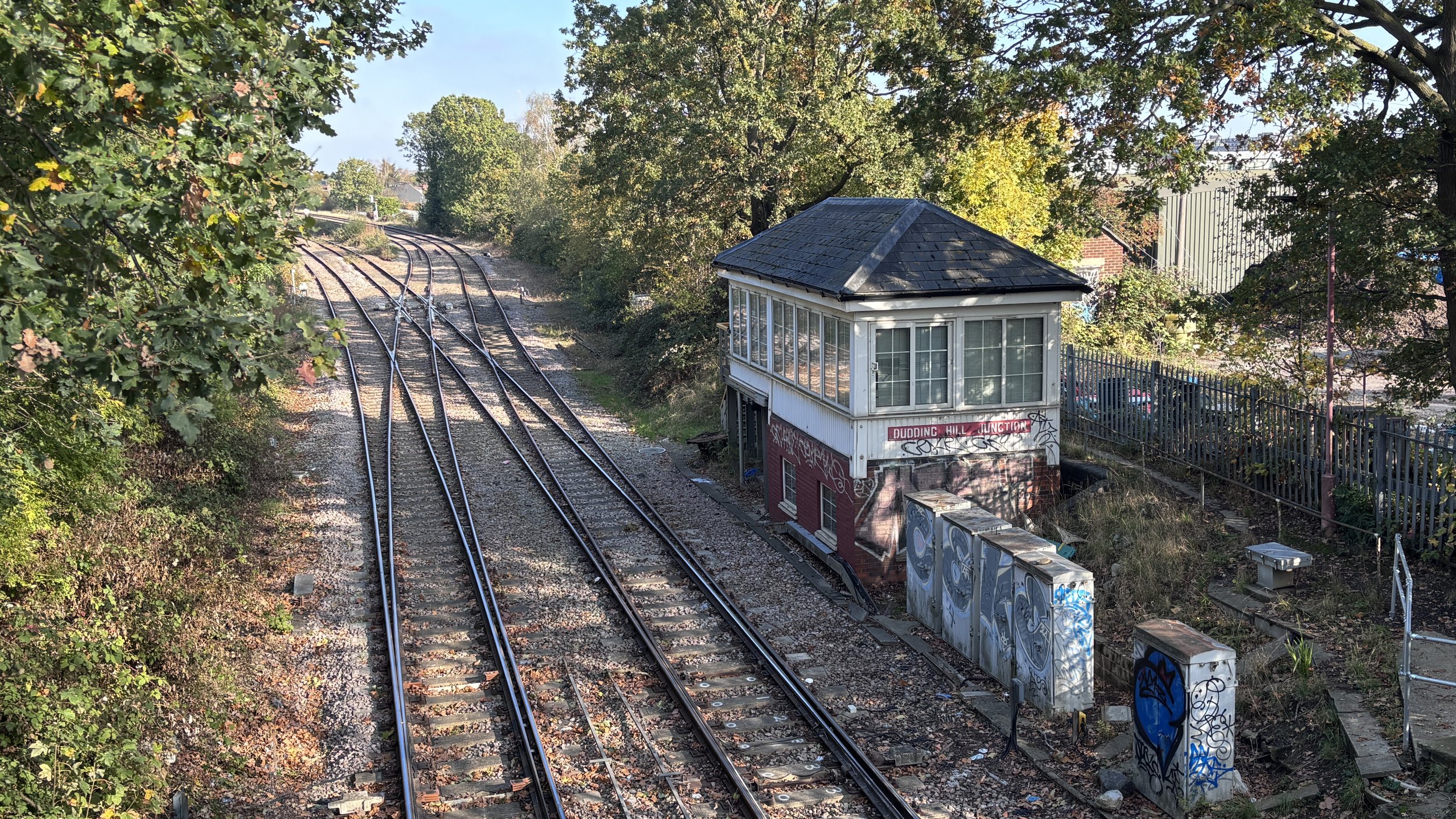
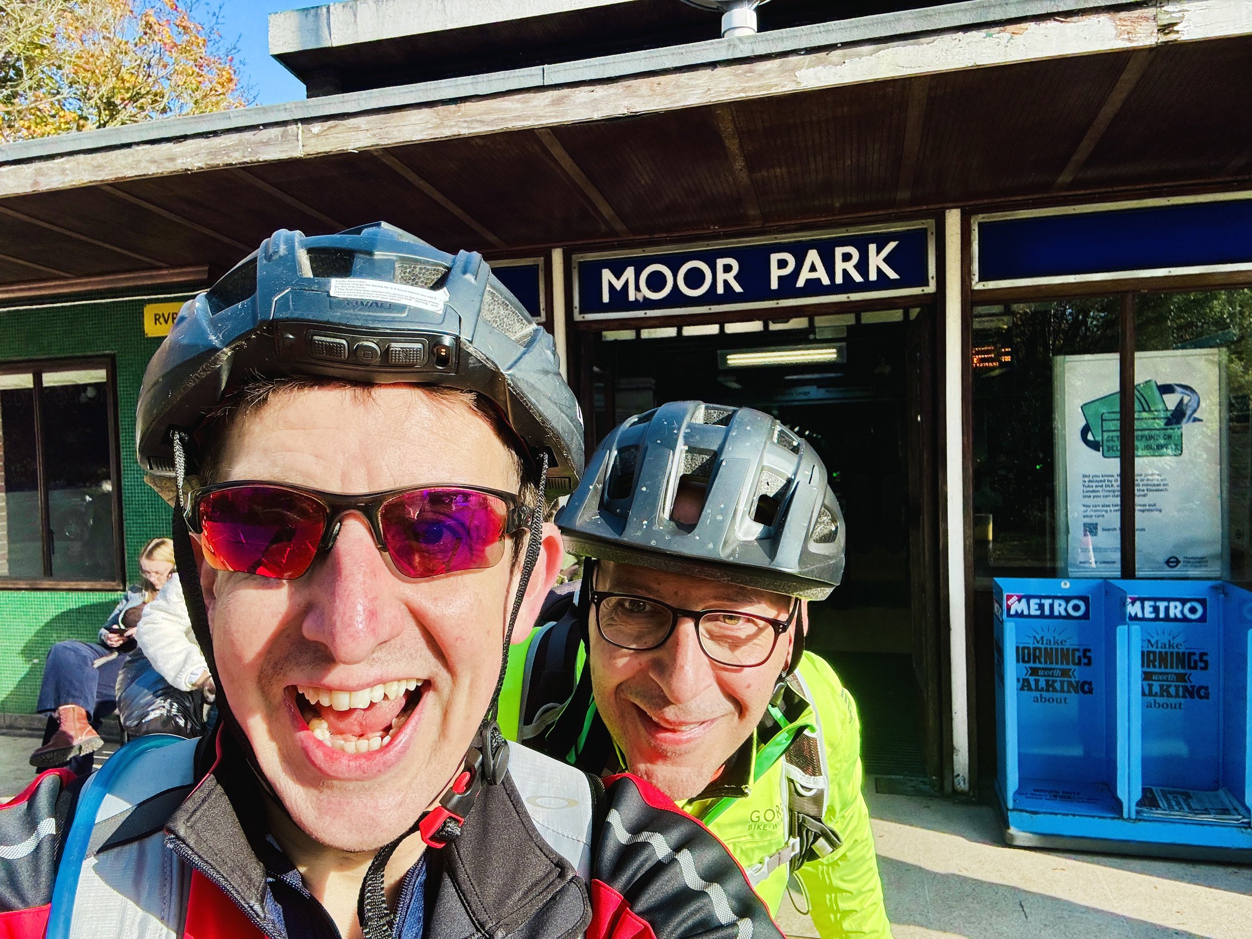
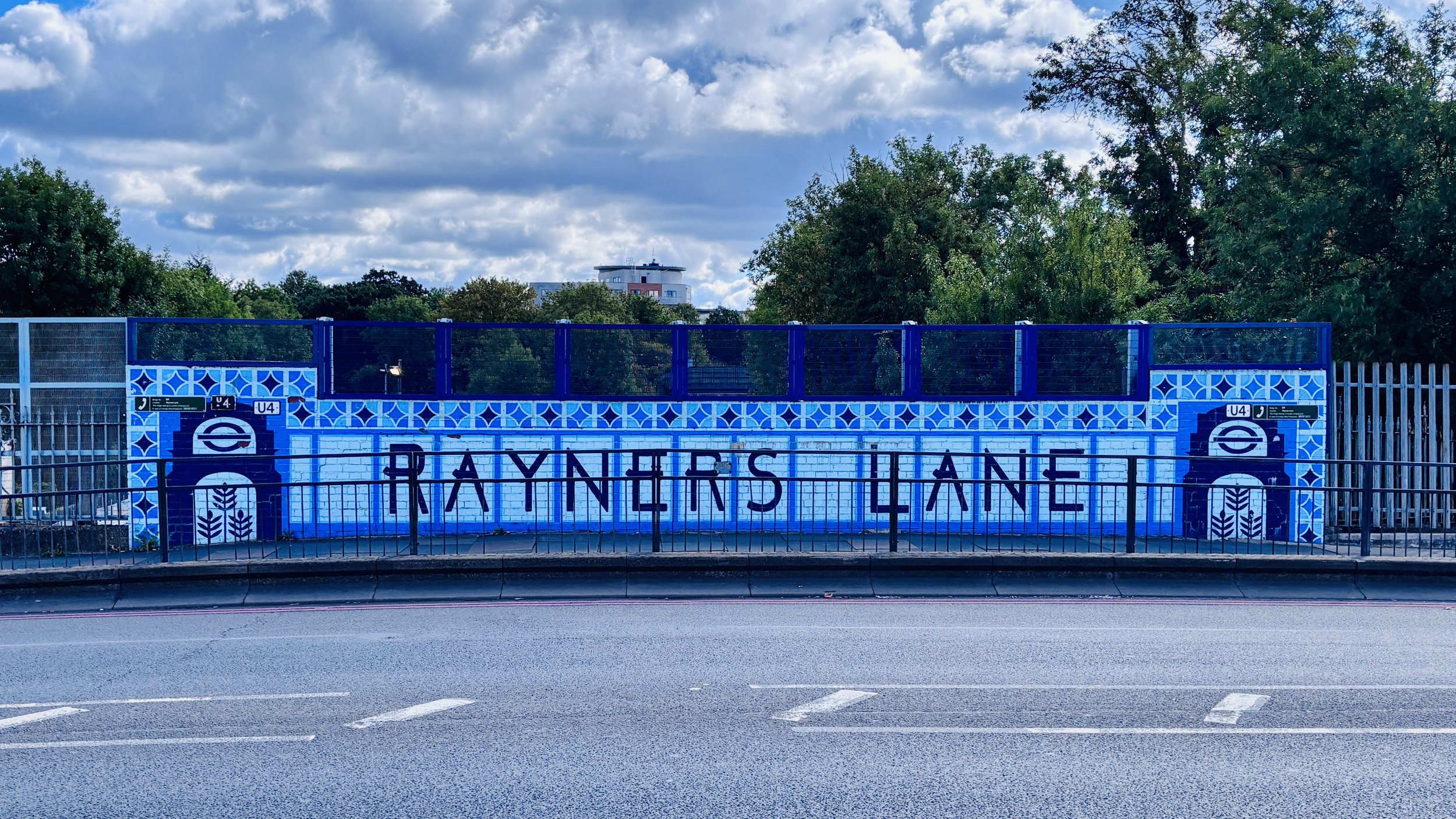
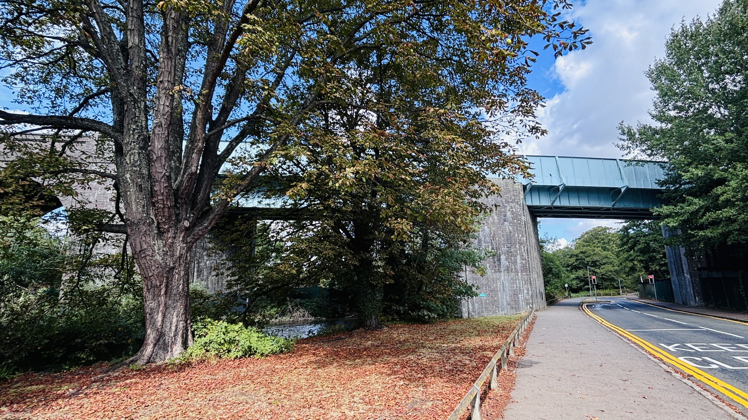
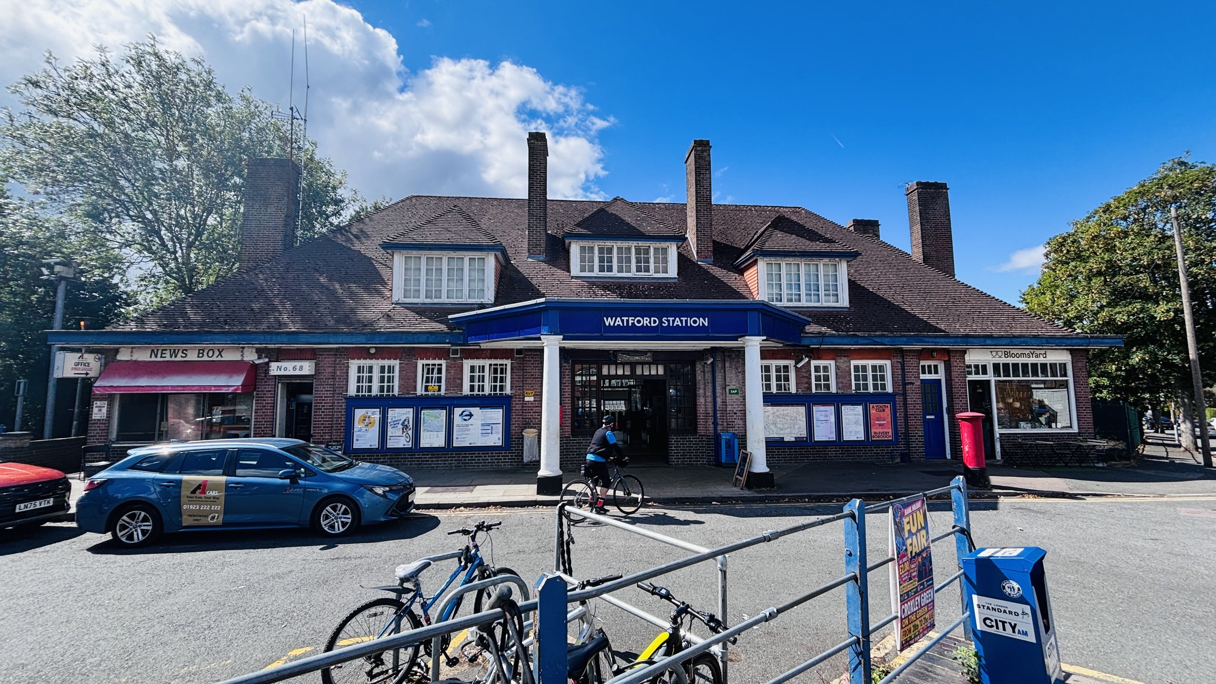
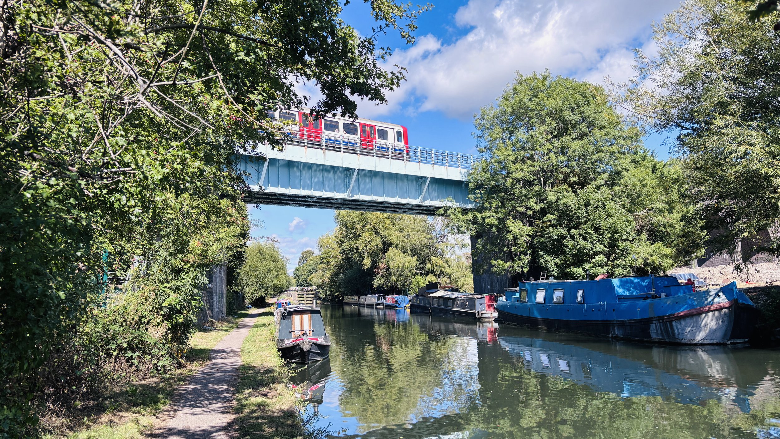
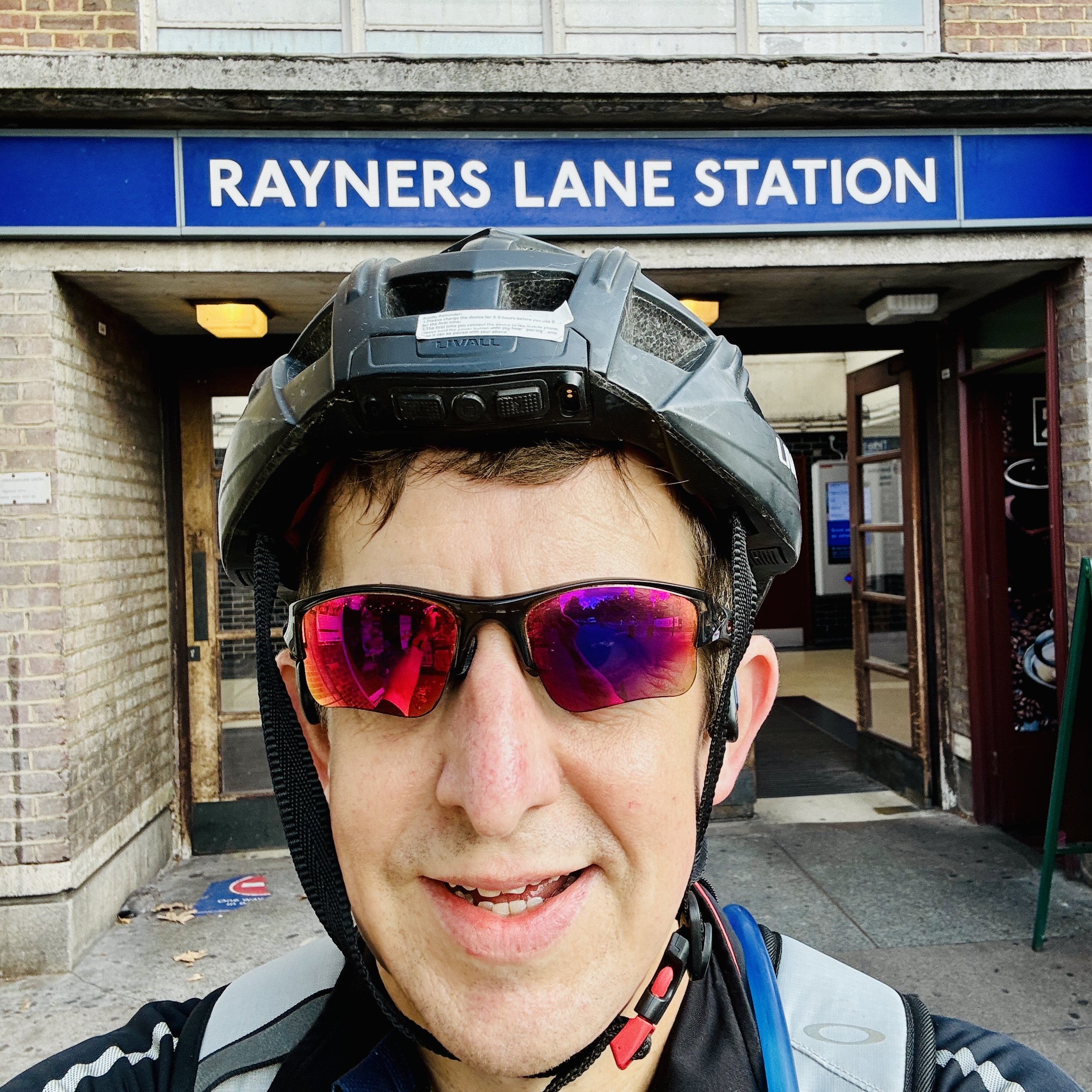
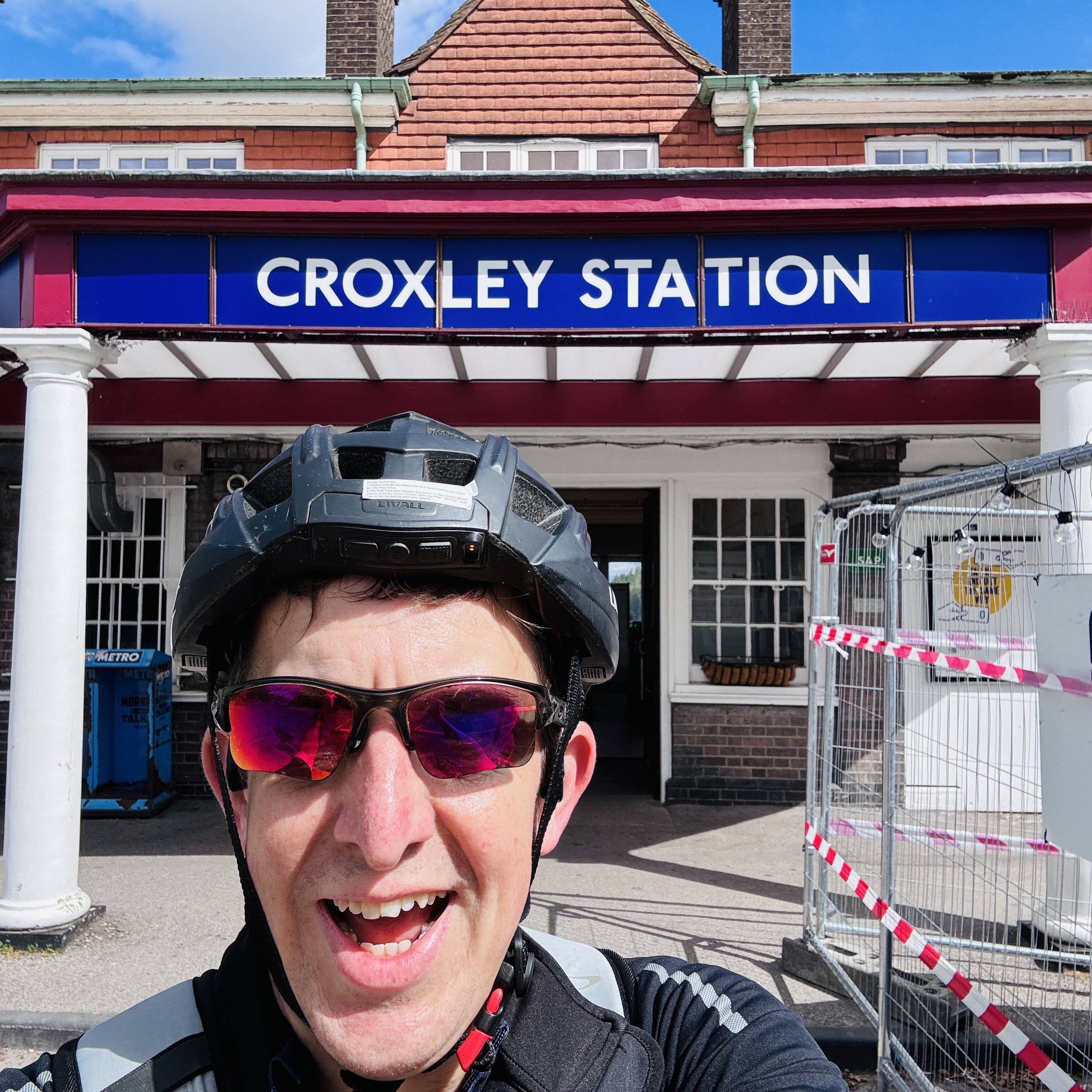
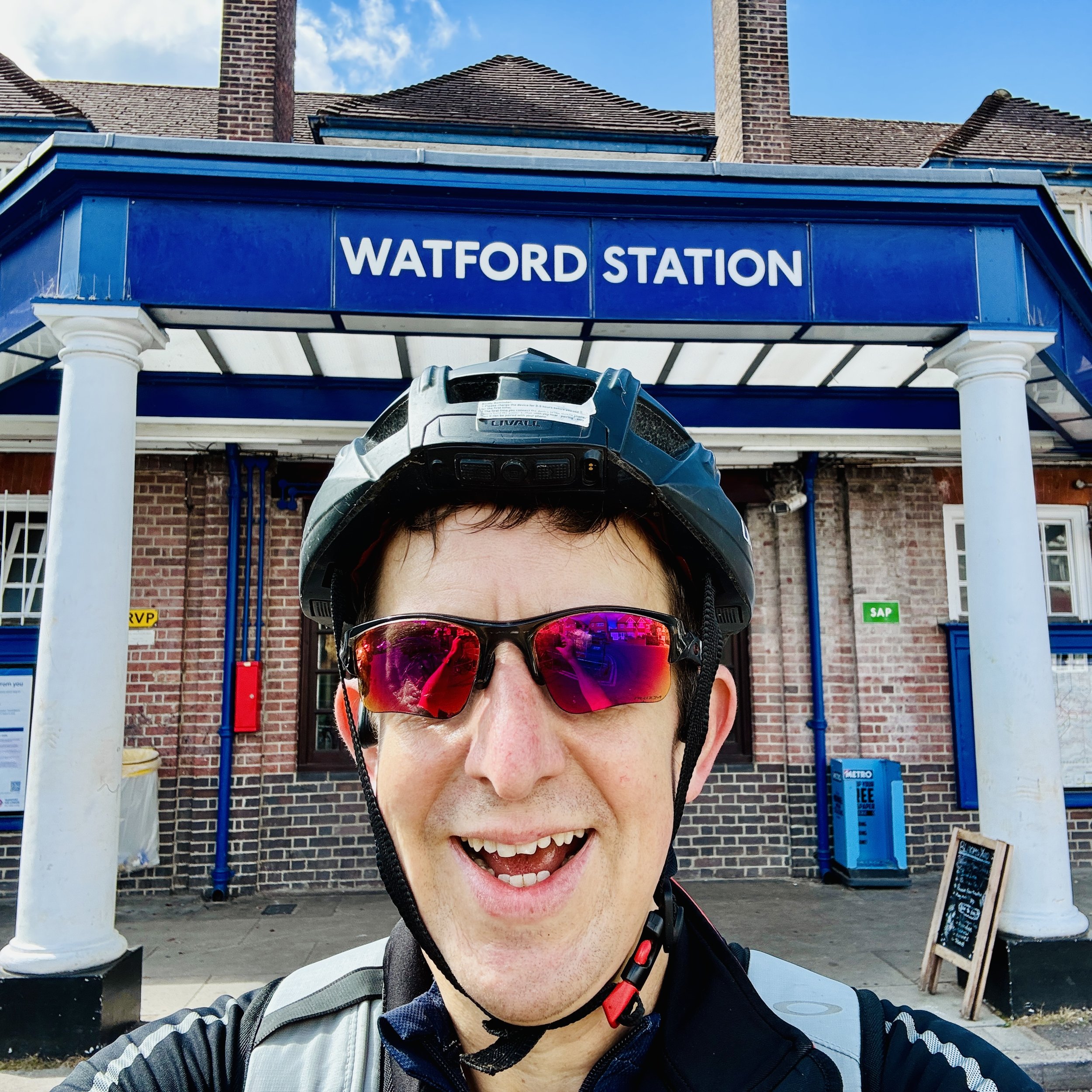
Heading west and branching off after Moor Park past Croxley, cycling allowed the landscape to unfold at a much gentler pace than running, letting me absorb the transition from urban sprawl to open stretches. Unlike other lines built to serve existing populations, the Met originally bought up cheap rural land, built the railway, and marketed the surrounding countryside as "Metroland", essentially inventing the modern commuter suburb. The real magic, though, wasn't just in reaching Watford, but in the return journey. Rather than retracing my tracks, I found a peaceful circular route cutting through Cassiobury Park and dropping down to the tranquil waters of the Grand Union Canal. Pedalling along the towpath provided a completely different perspective: a quiet, watery corridor winding its way all the way back to Uxbridge.
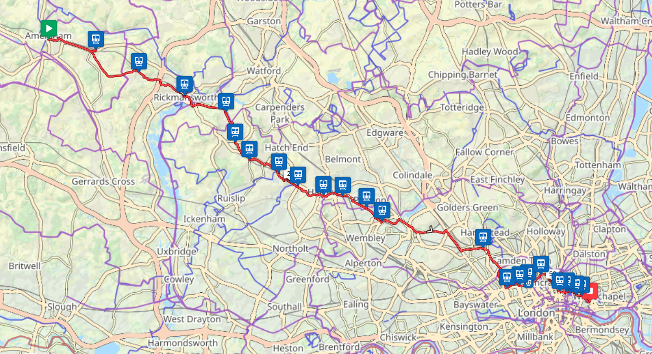
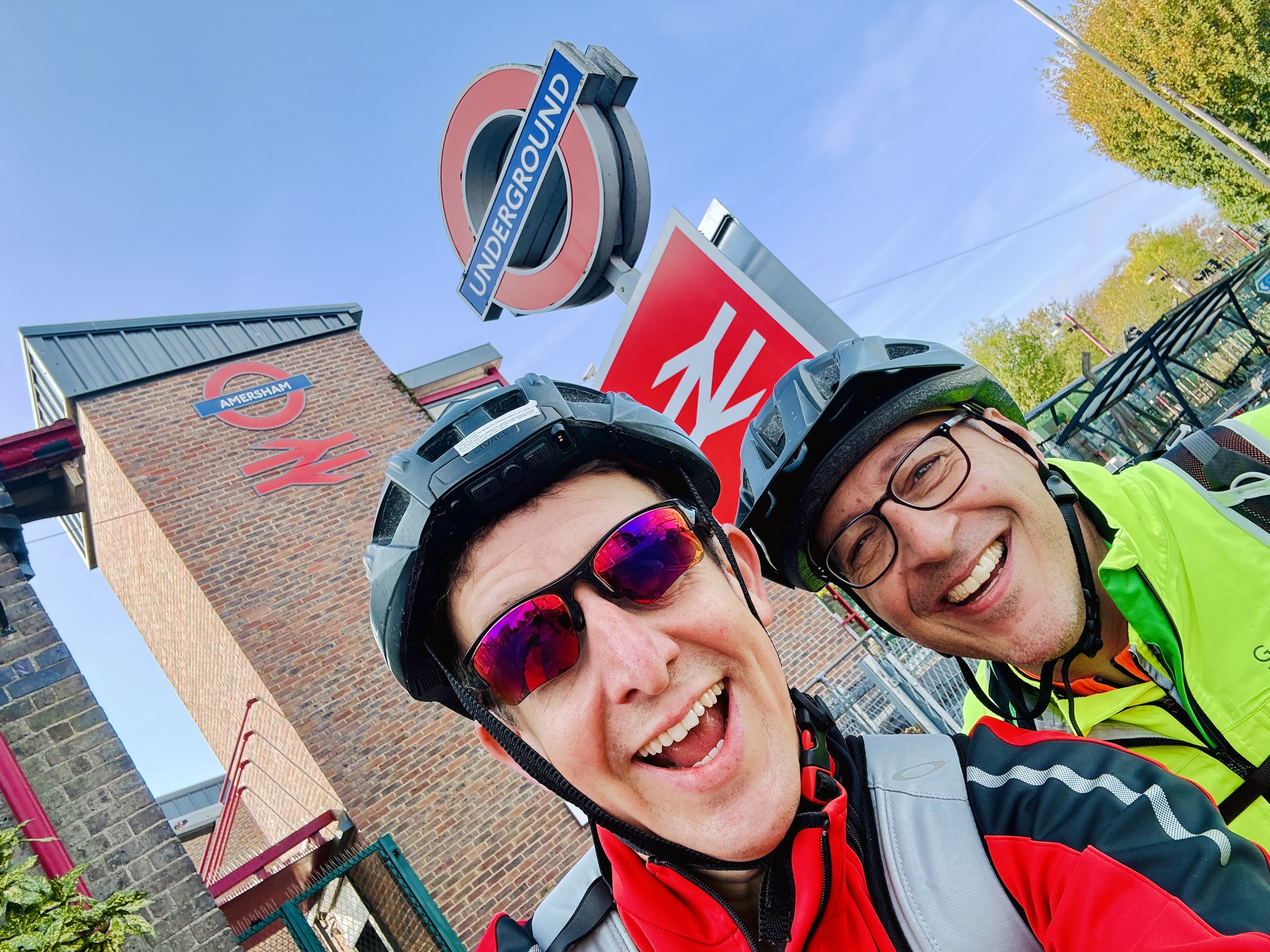
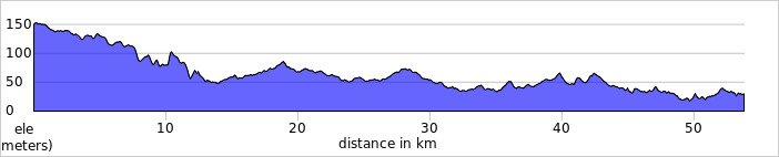
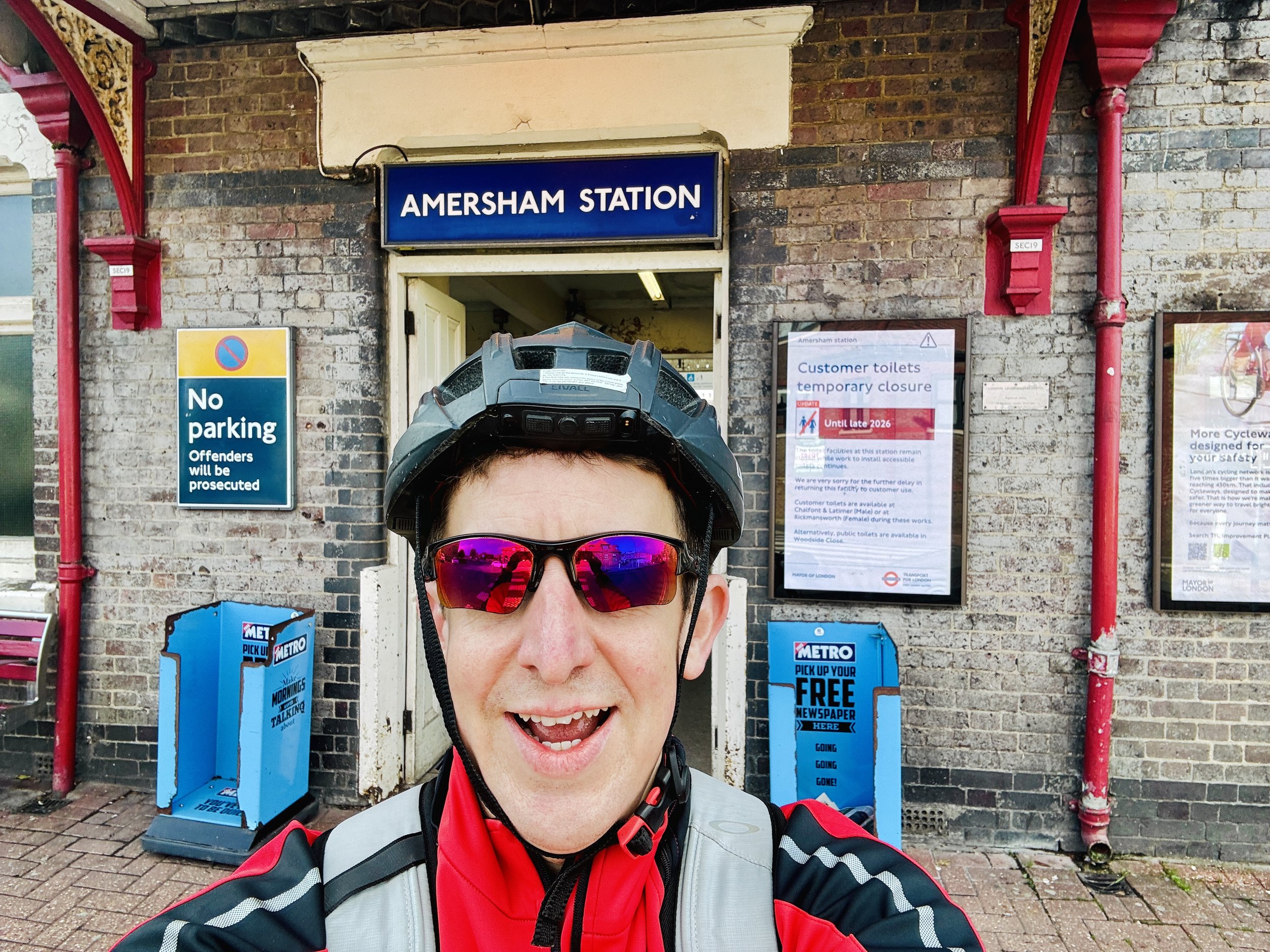
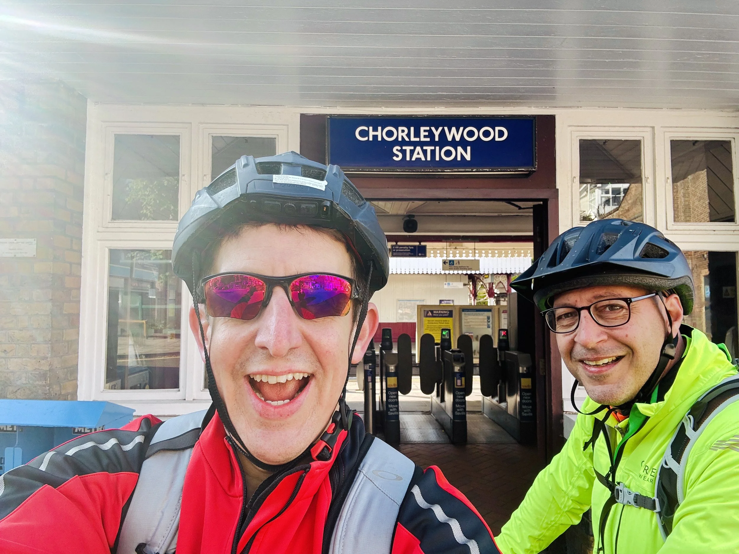
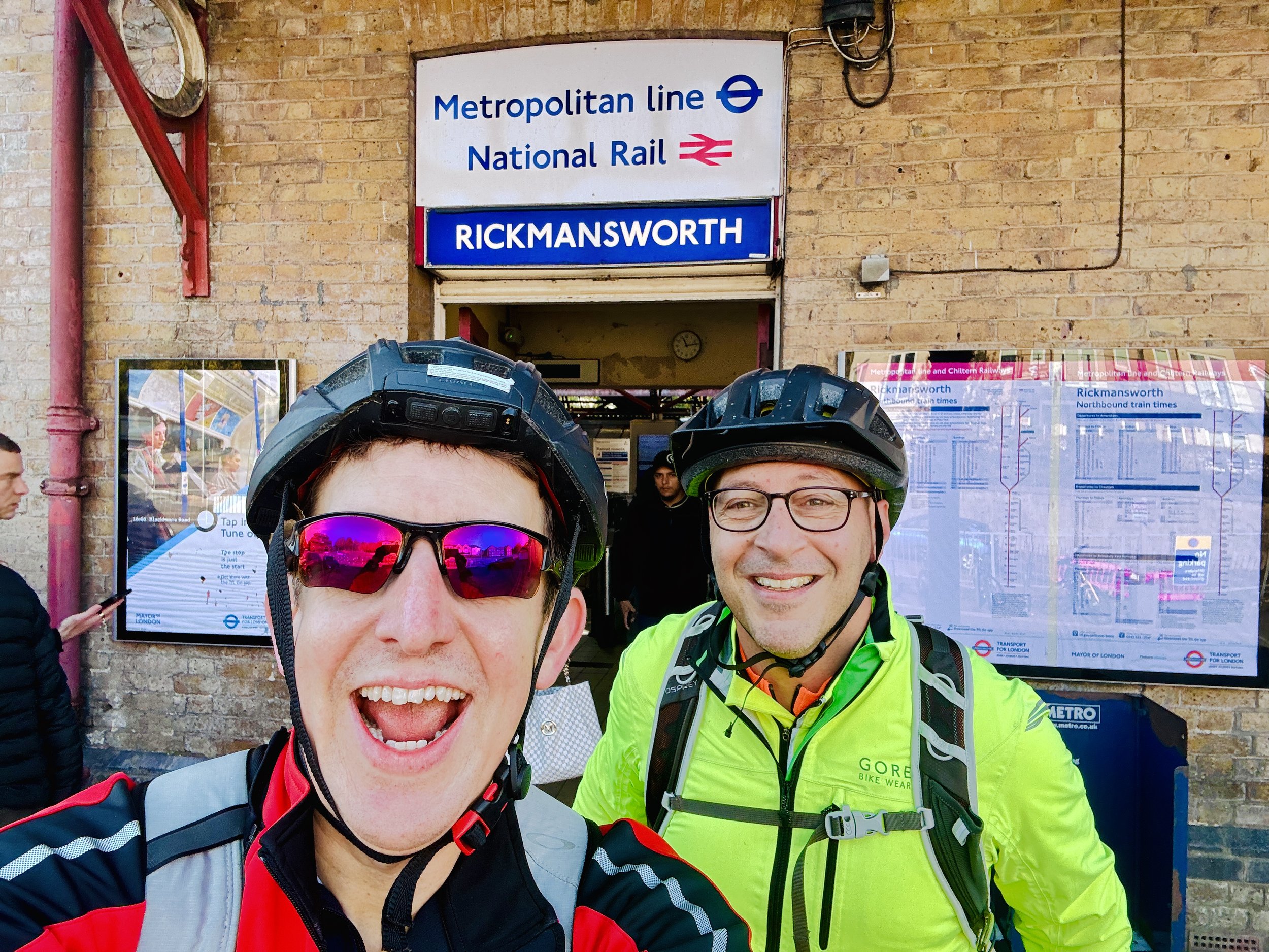
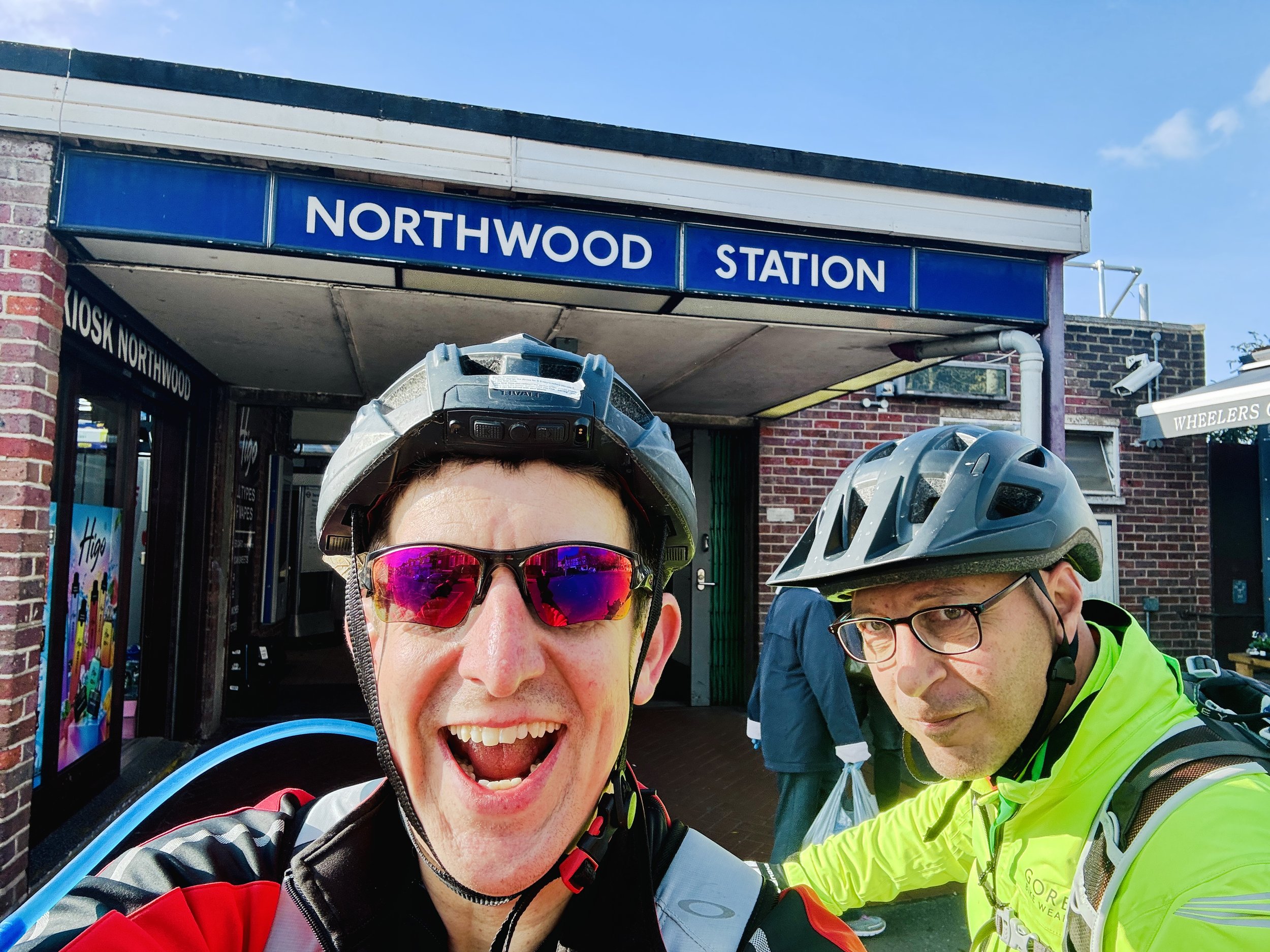
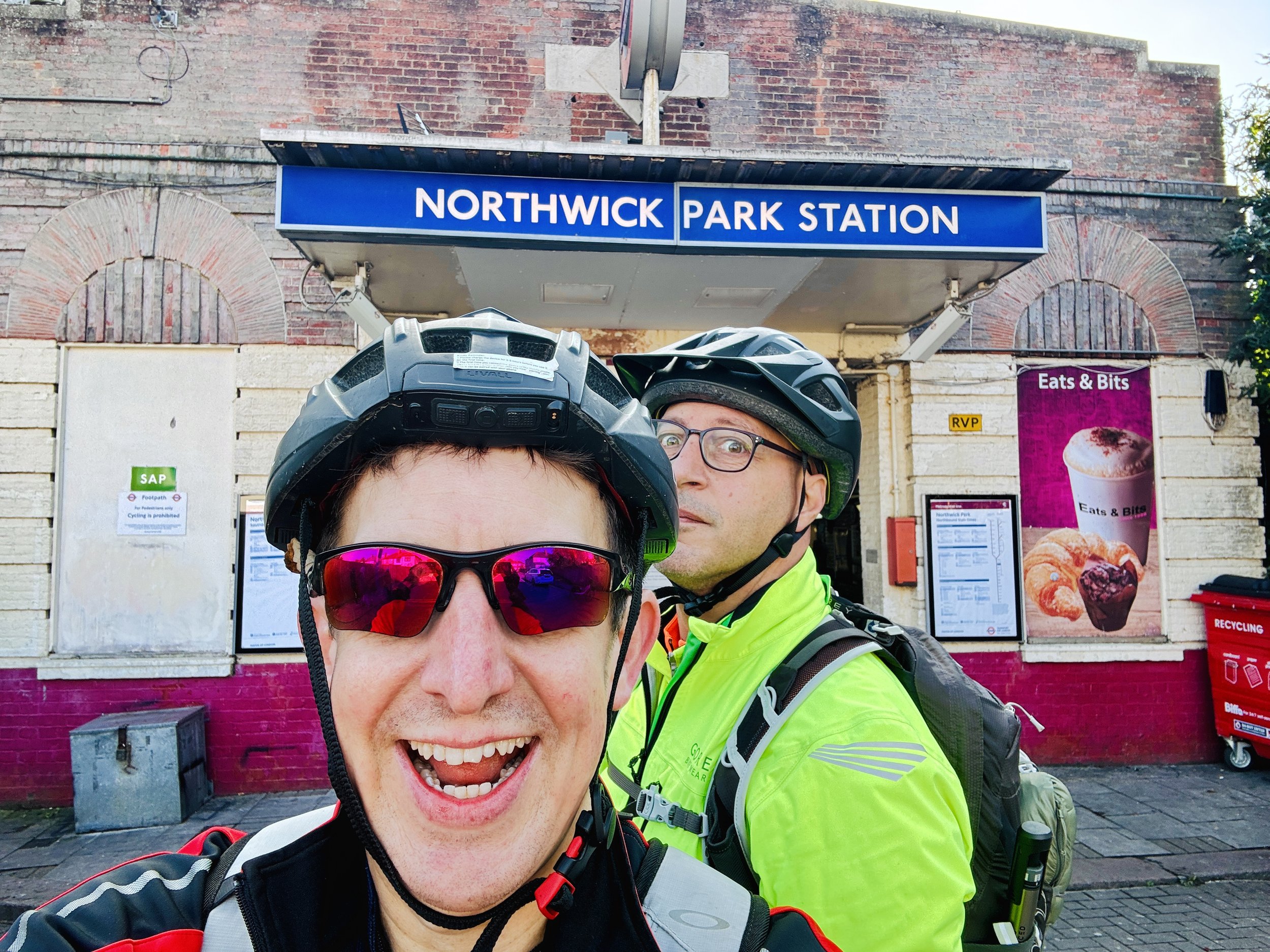
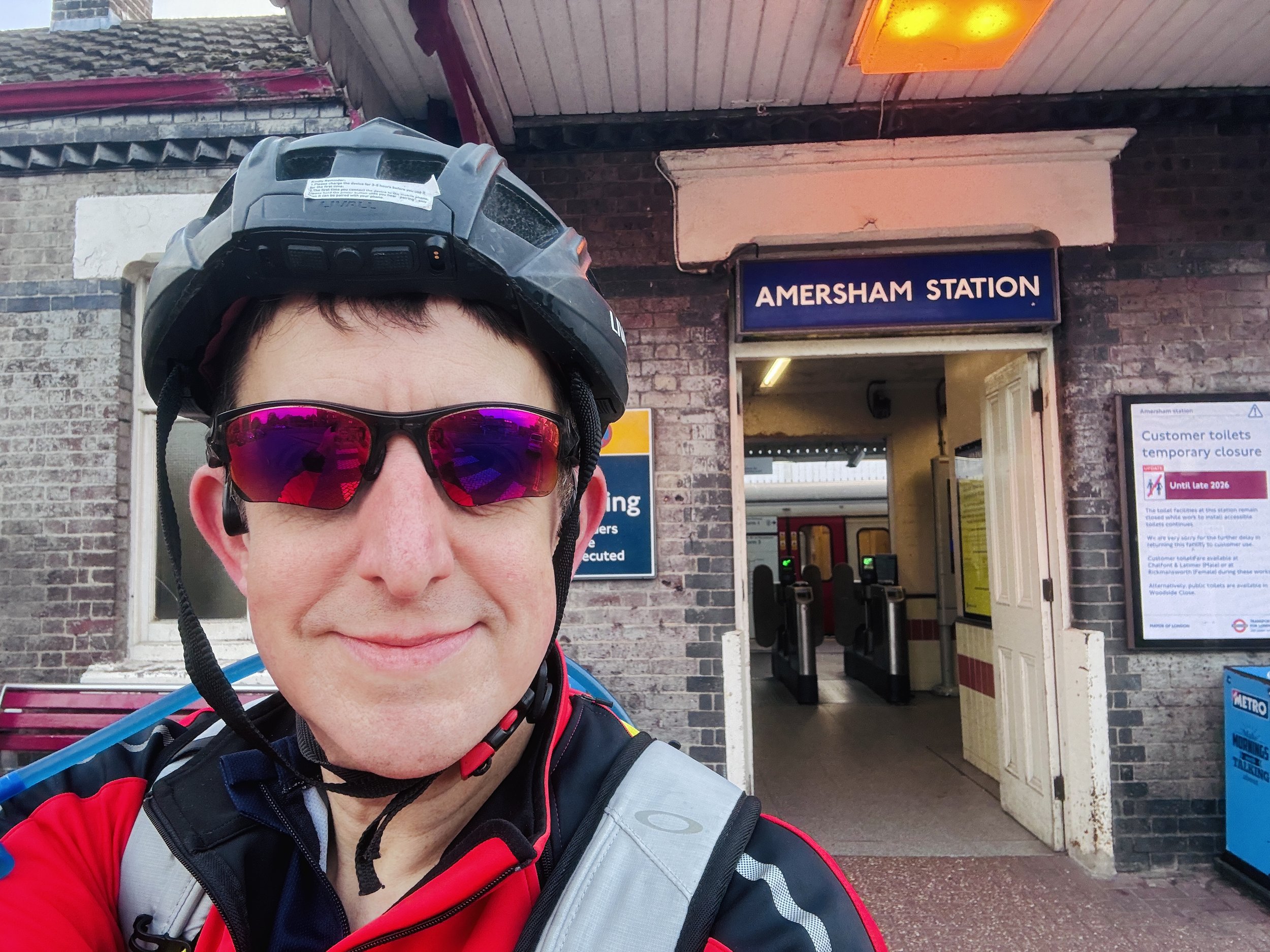
Transitioning from solitude to partnership, part two scaled up the ambition. Meeting my friend Brian at Amersham at 10:00 AM, just after I’d squeezed in a 9:00 AM parkrun, we snapped the first of our duo selfies in front of the station sign before heading east toward London. At 147 metres (482 feet) above sea level, Amersham holds the title of the highest station on the entire London Underground network, which certainly helps explain why the ride into London felt so pleasantly downhill.
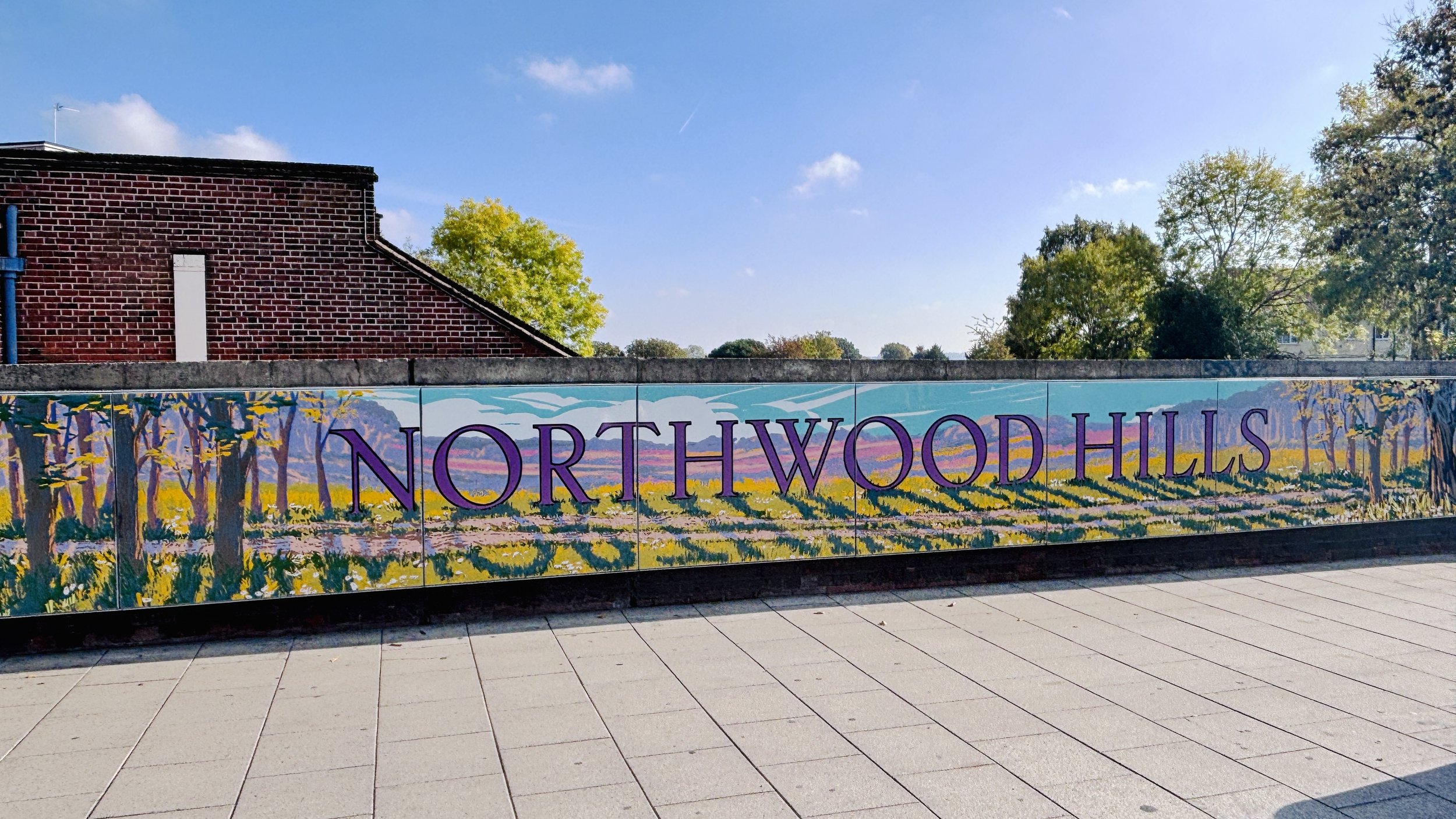
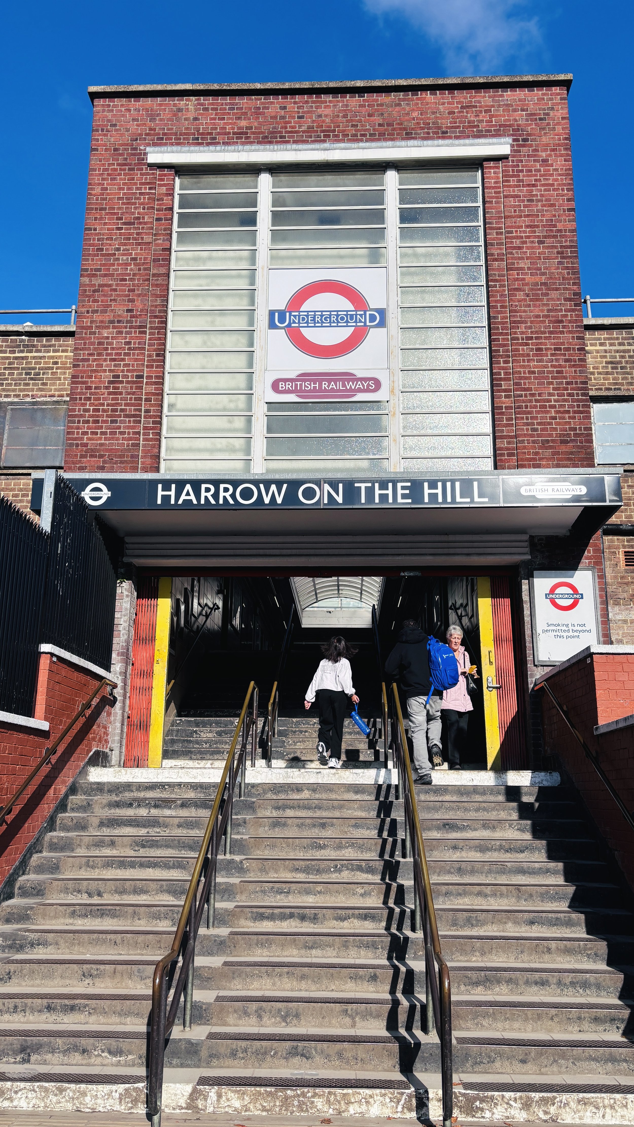
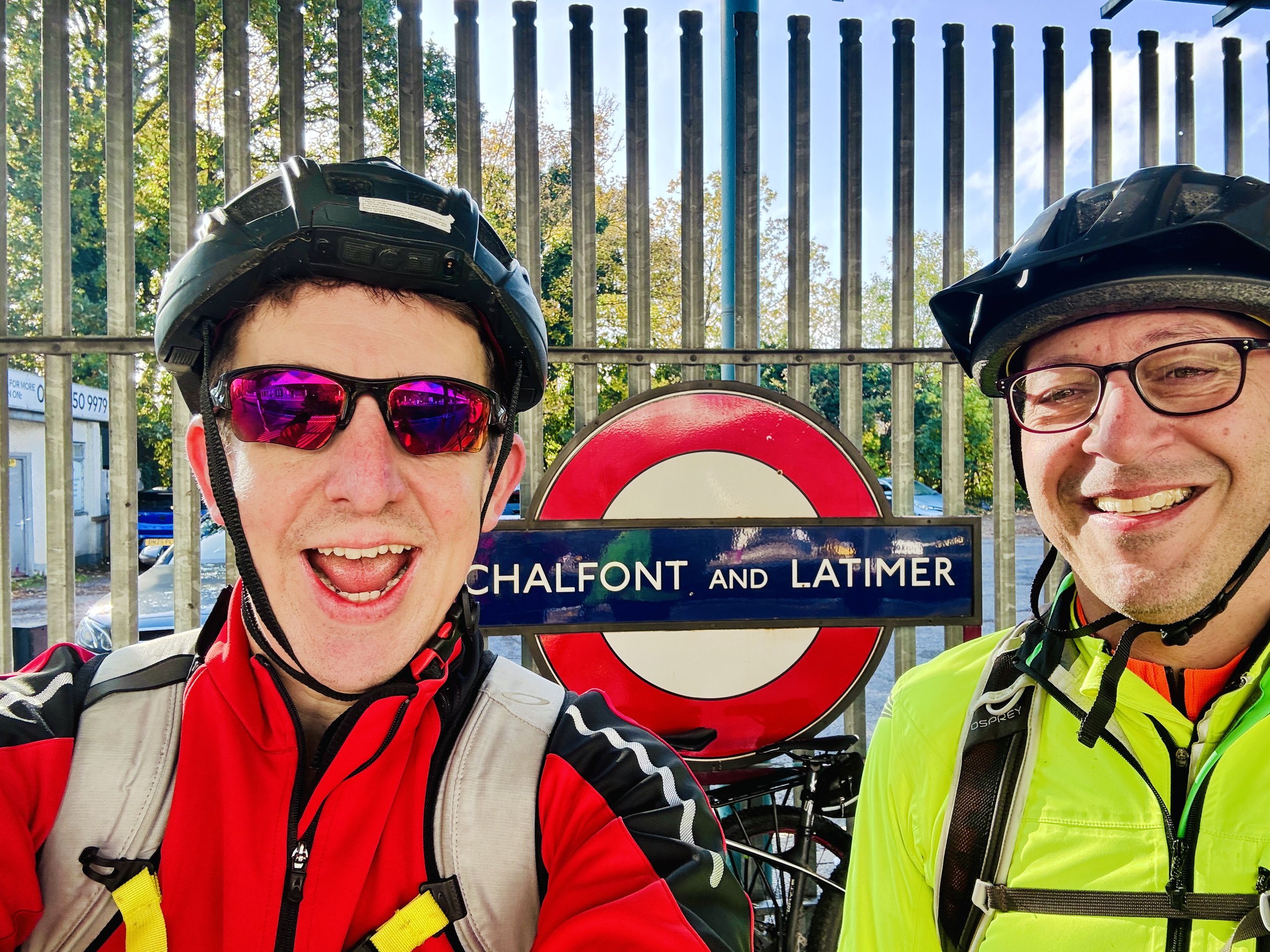
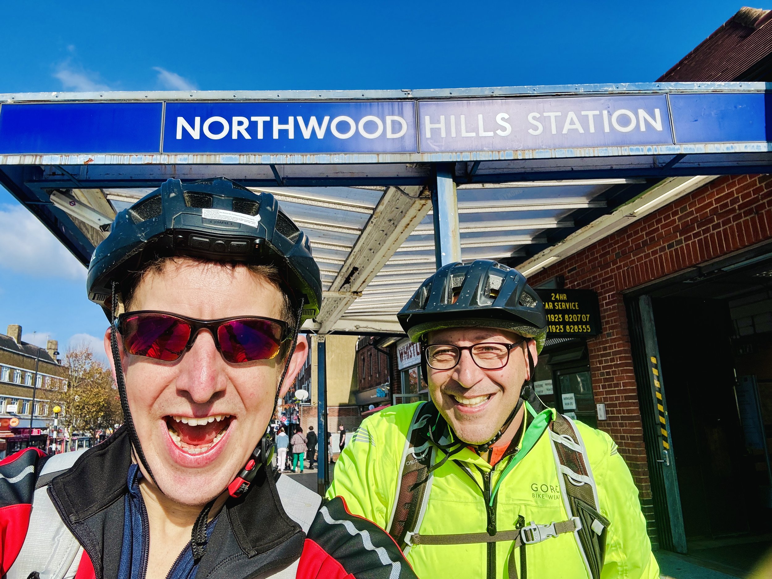
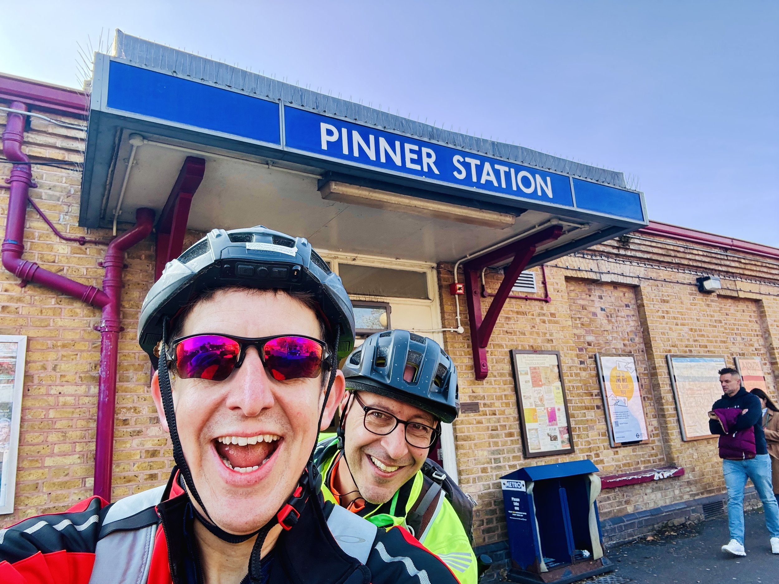
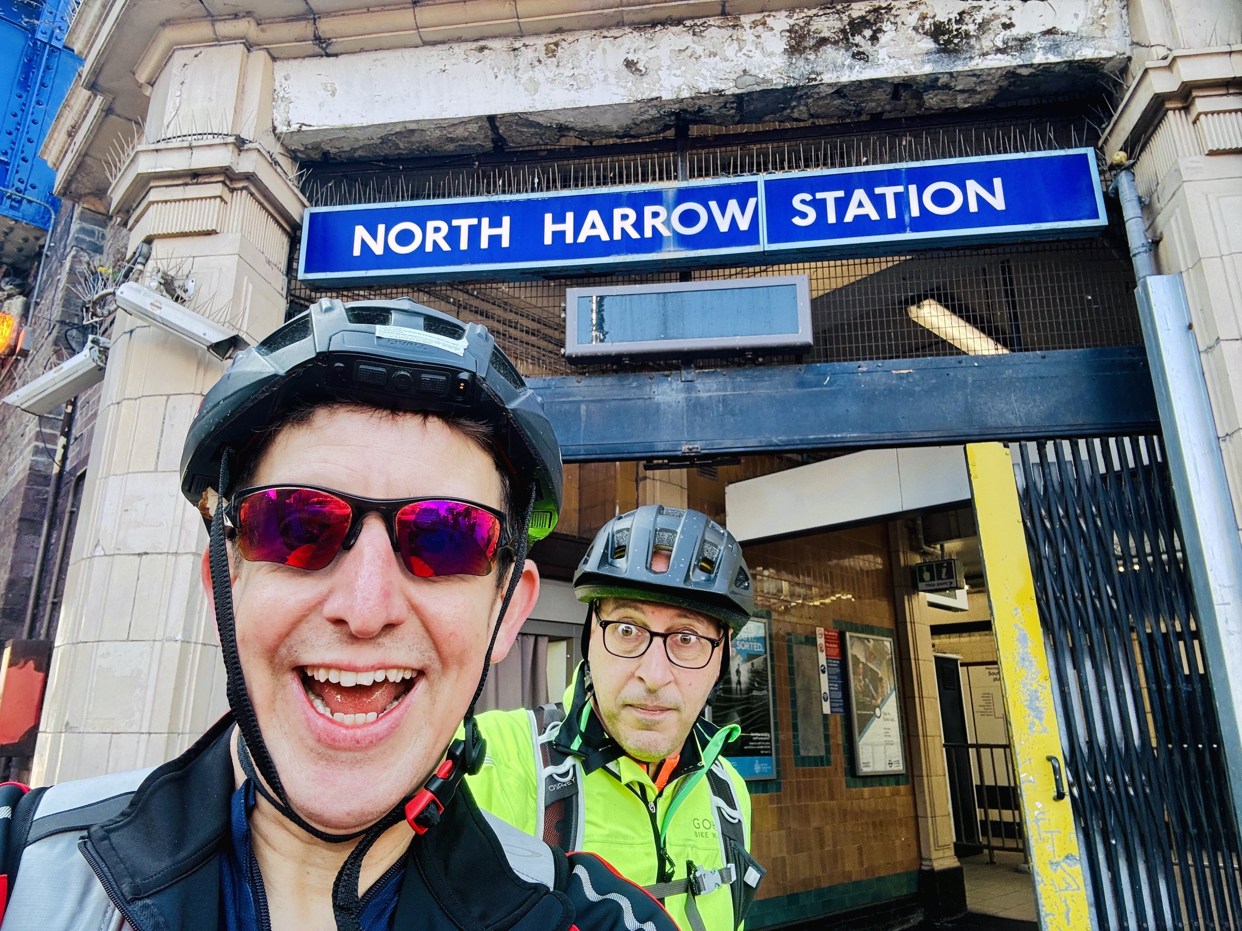
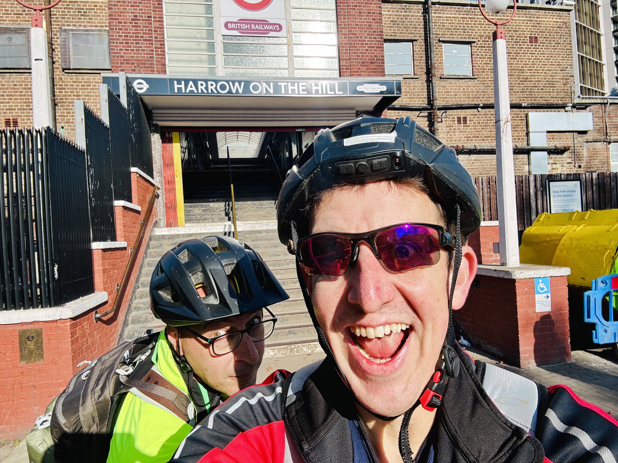
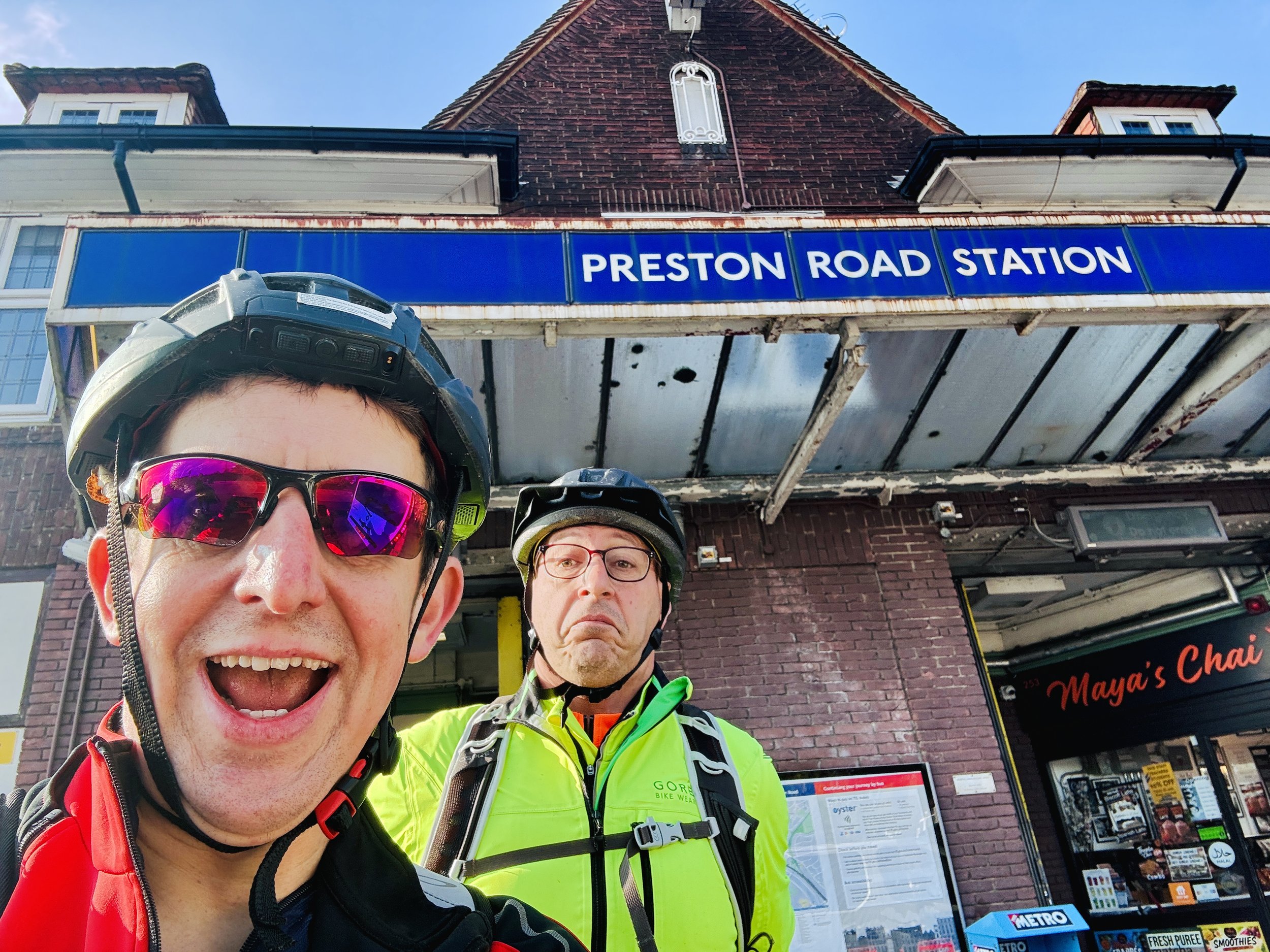
Starting in the heart of the Chilterns offered a crisp, scenic buffer of quiet country lanes past Chalfont & Latimer and Rickmansworth before the inevitable density of the metropolis took over. Crossing my previous path at Moor Park, the tempo shifted as we navigated the tighter-knit western suburbs: Northwood, Pinner, North Harrow, Harrow-on-the-Hill, Northwick Park, and Preston Road.
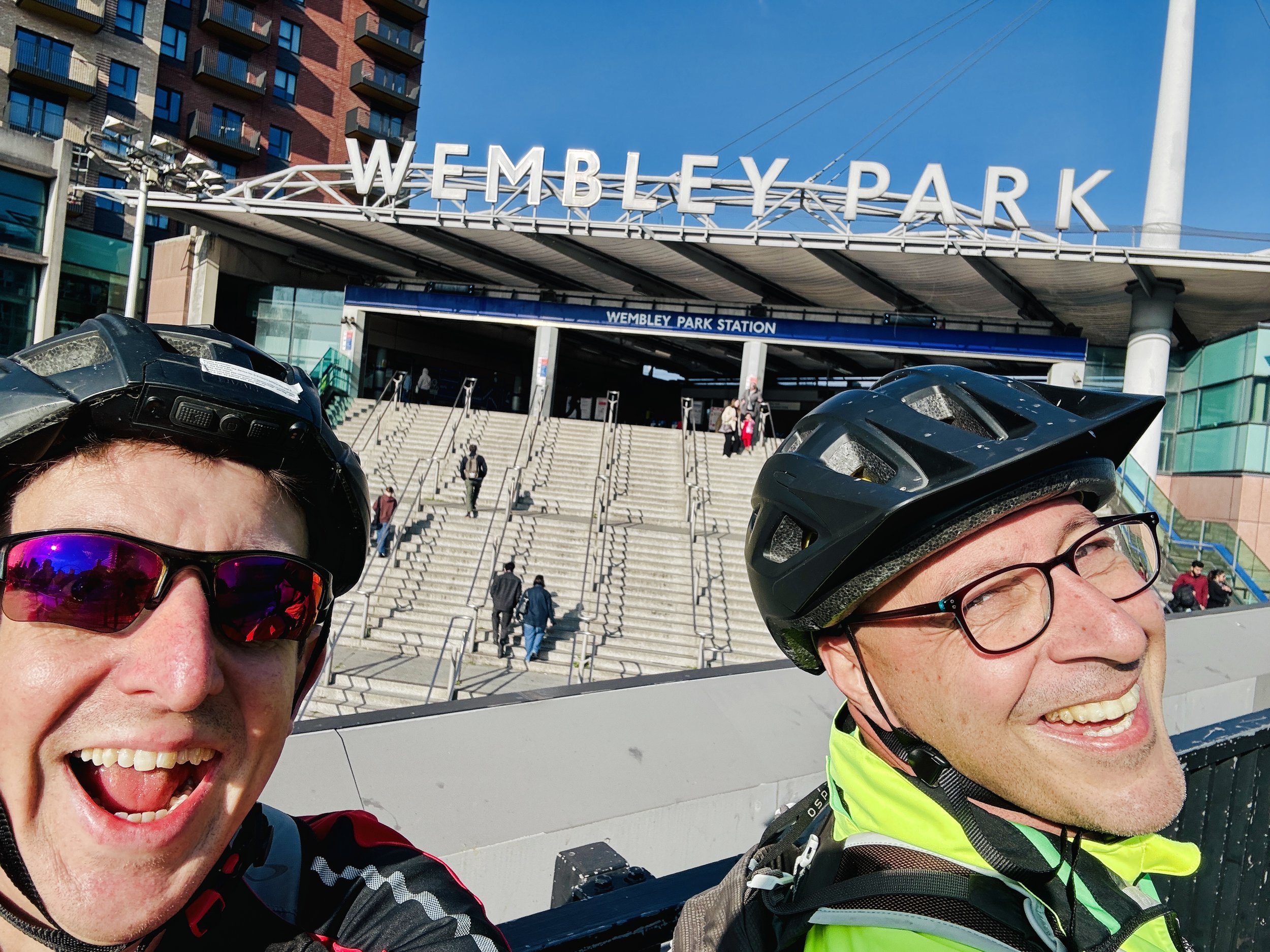
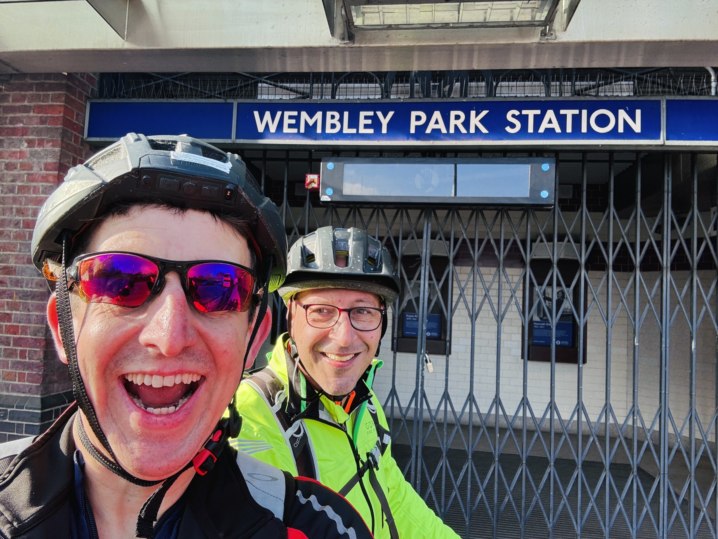
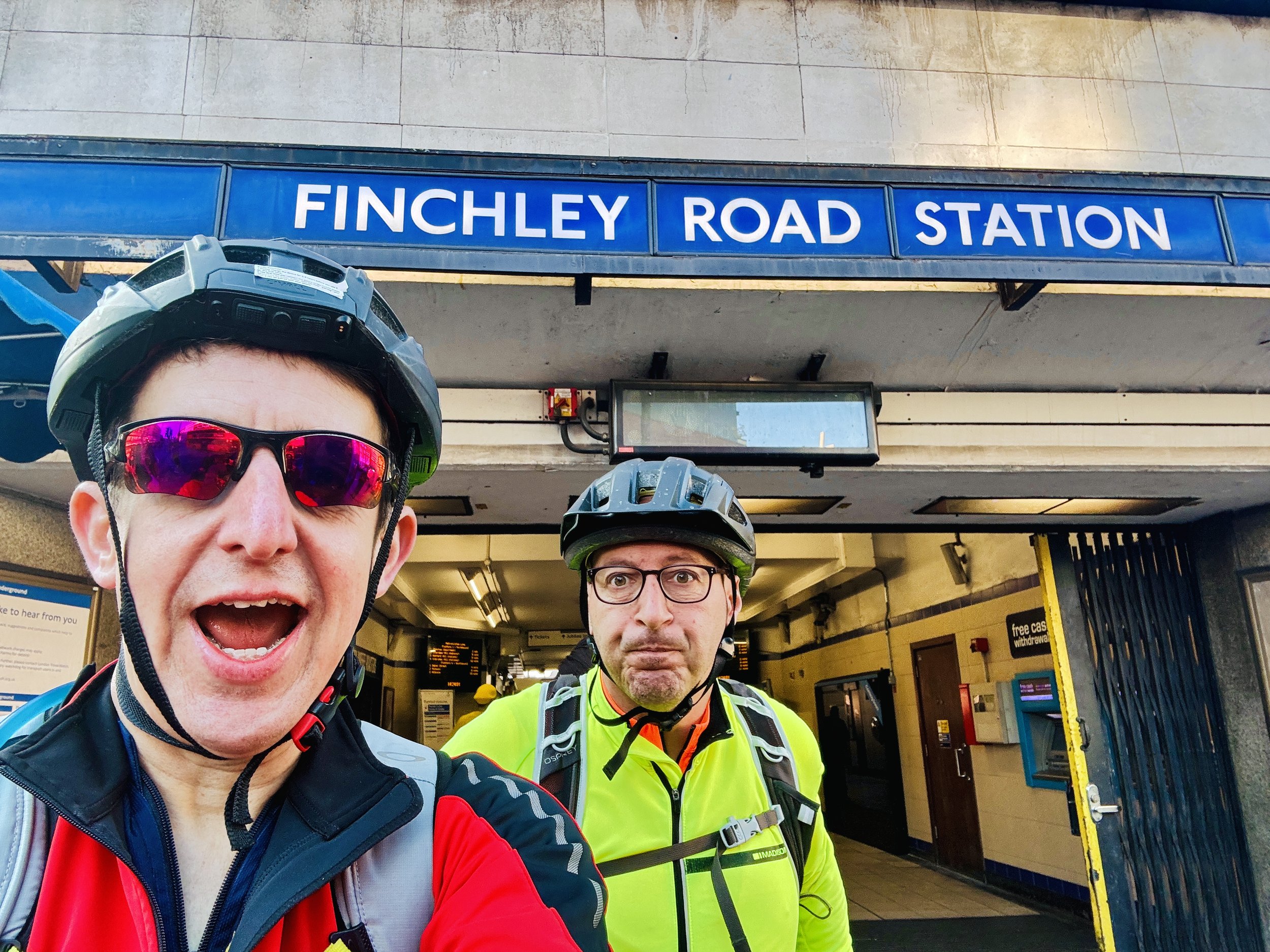
The true contrast arrived post-Wembley. Suddenly, it felt like the London I knew, though there is a long gap between Wembley Park and Finchley Road where we passed plenty of tube stations, none of them on the Met. Once we picked the line back up at Finchley Road, the stations came thick and fast.
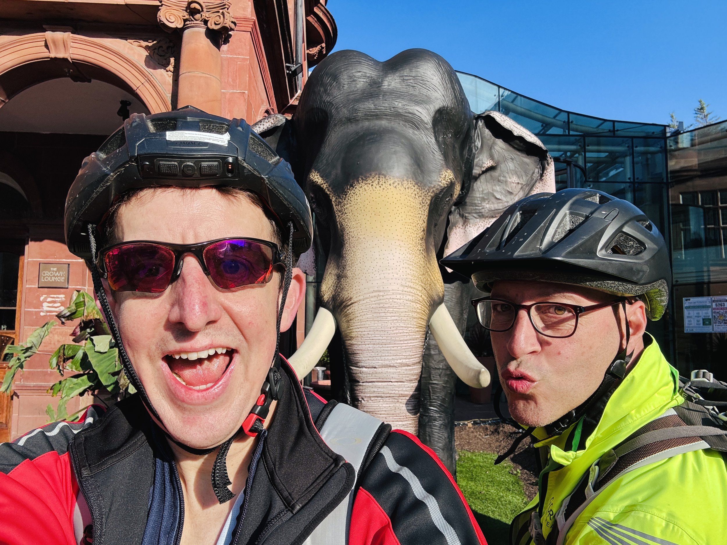
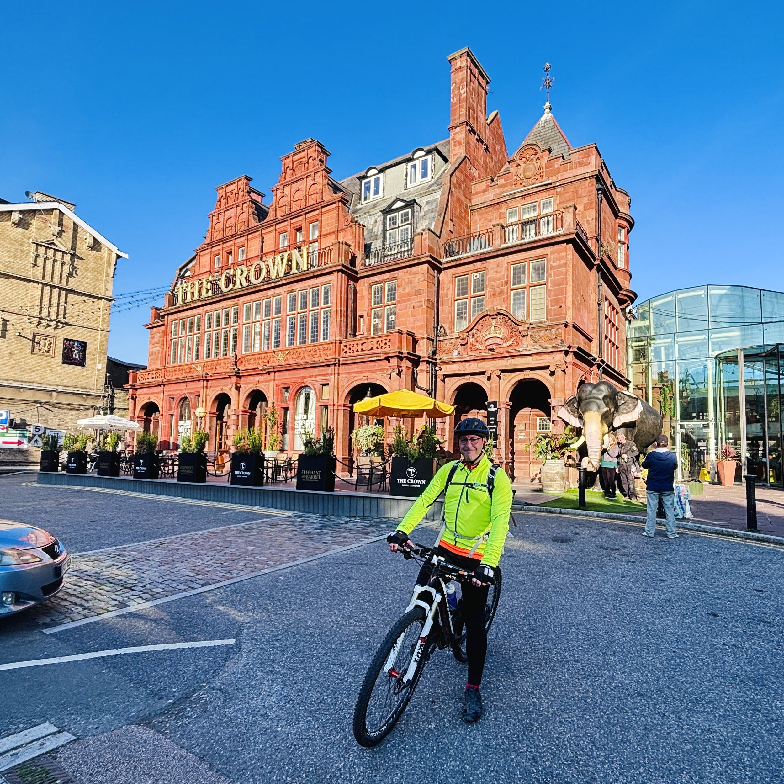
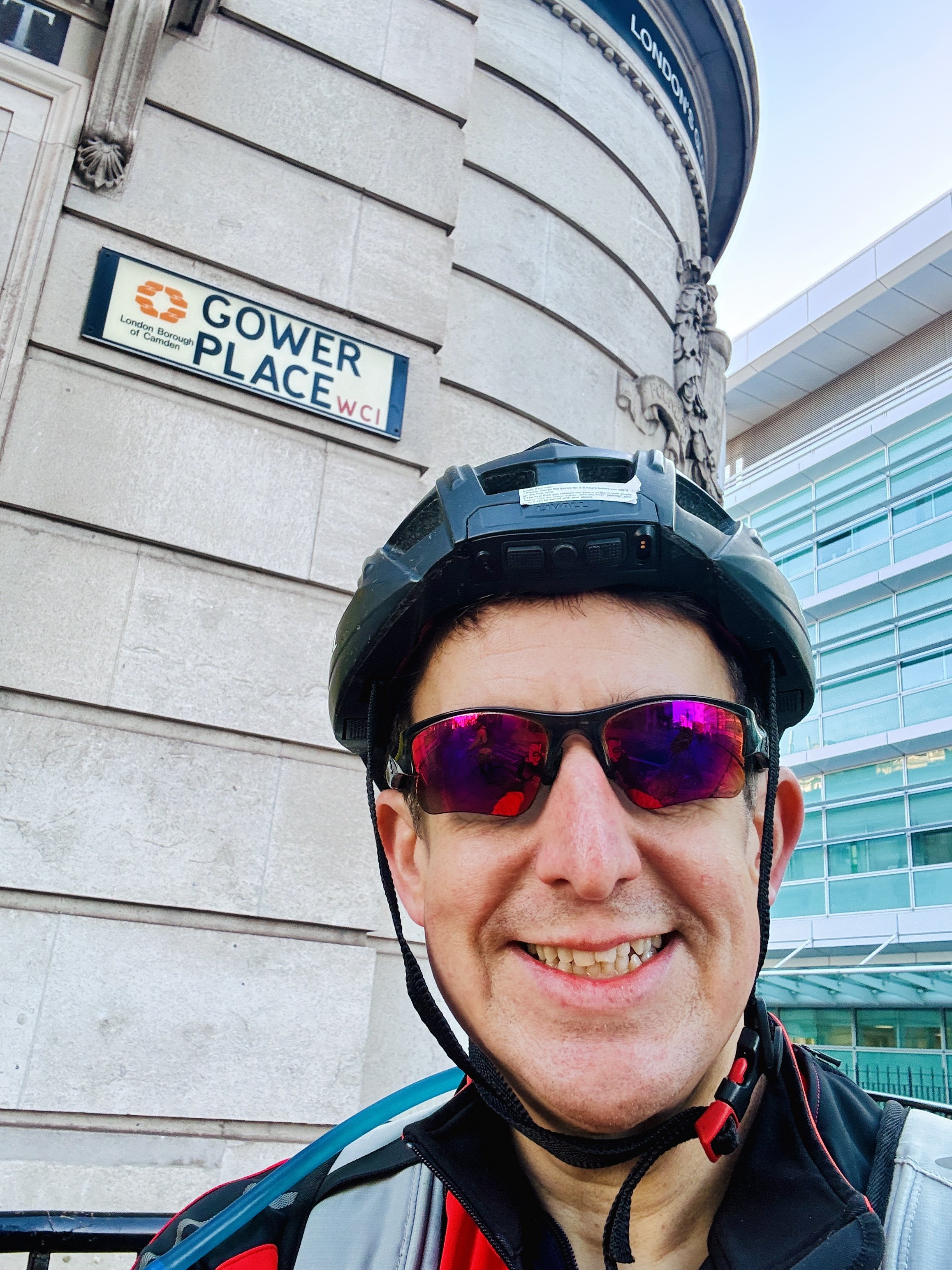
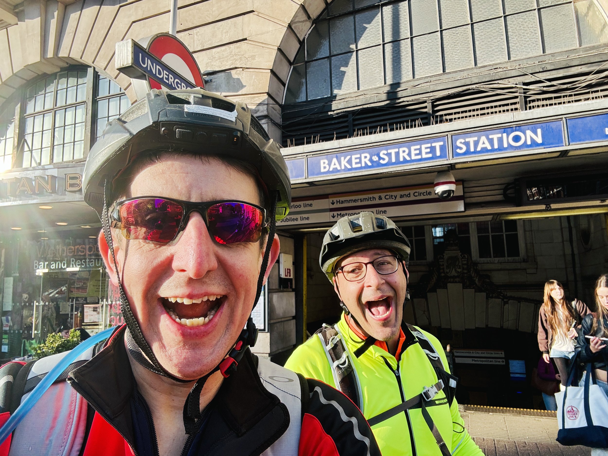
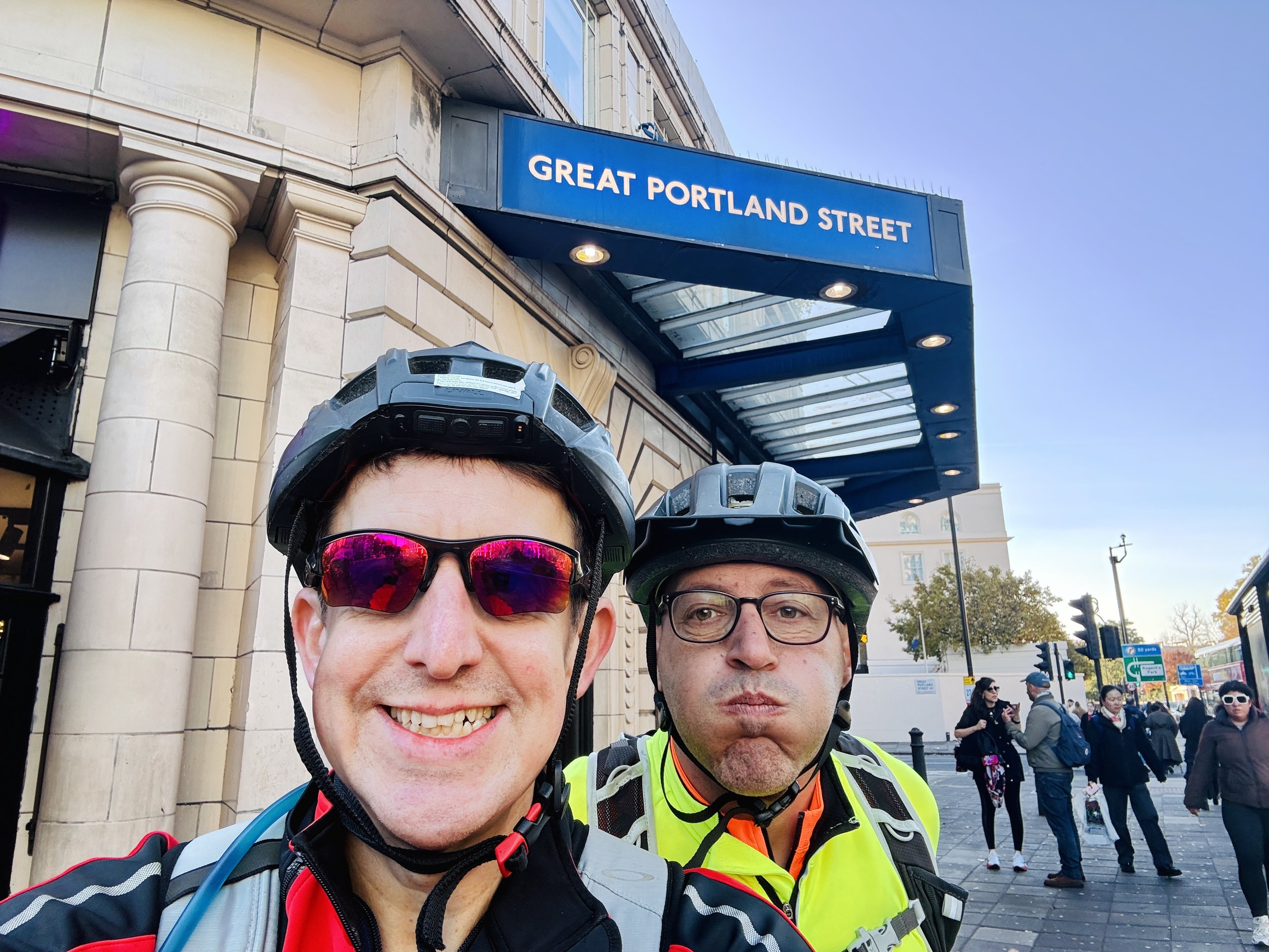
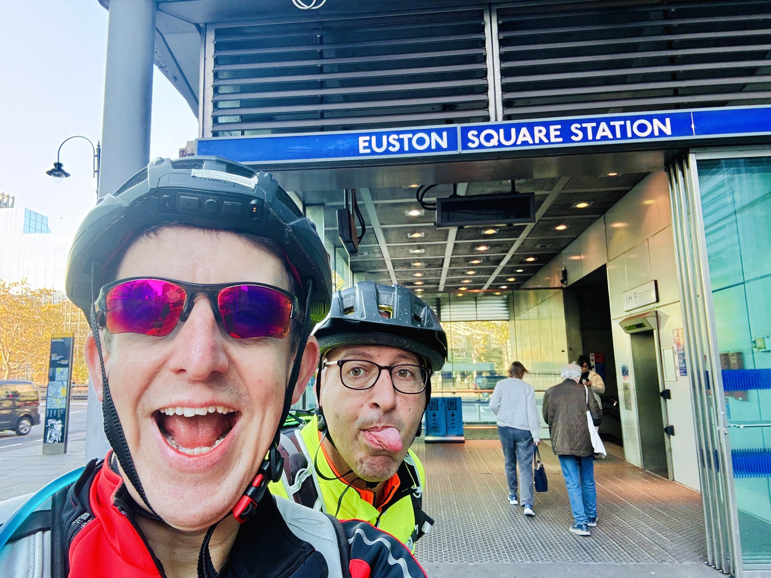
Cruising around the edges of Regent’s Park to Baker Street (a station that used to boast a pub called The Moriarty), we paused for a selfie not just with the station sign, but with the iconic statue of Sherlock Holmes. Weaving through the backstreets to dodge the busy A40, we ticked off Great Portland Street and Euston Square before stopping at a spot I’d been teasing Brian about all day: Gower Street and Gower Place. Being a Gower myself, a photo here was mandatory to set up a joke that I would reveal later.
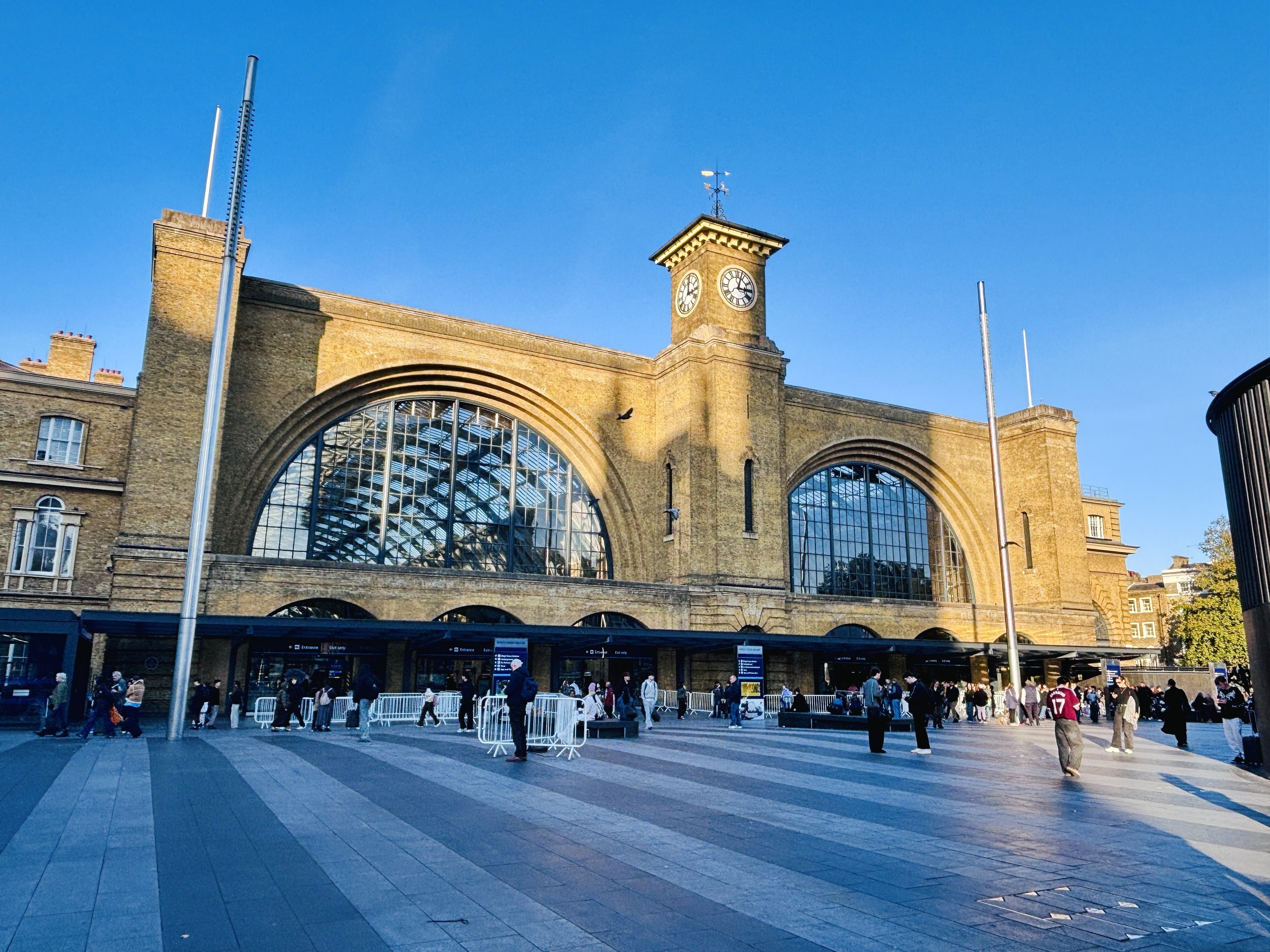
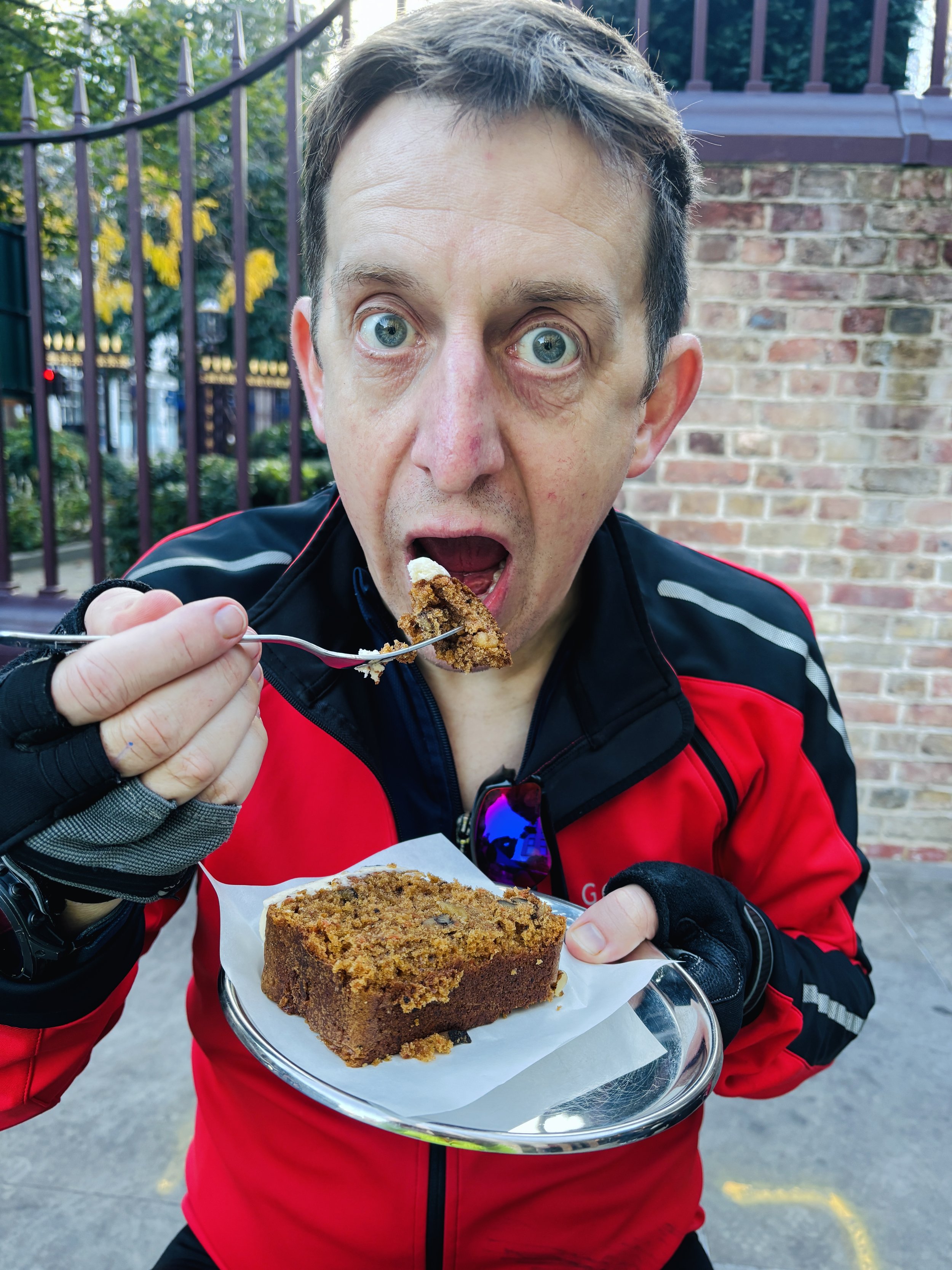
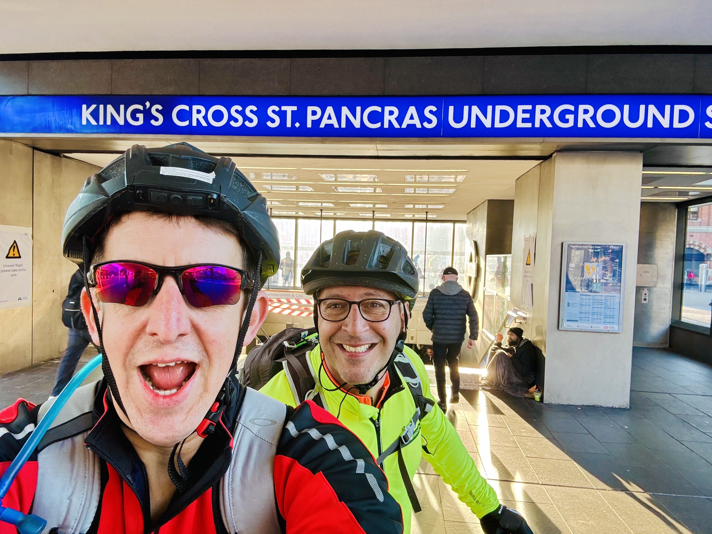
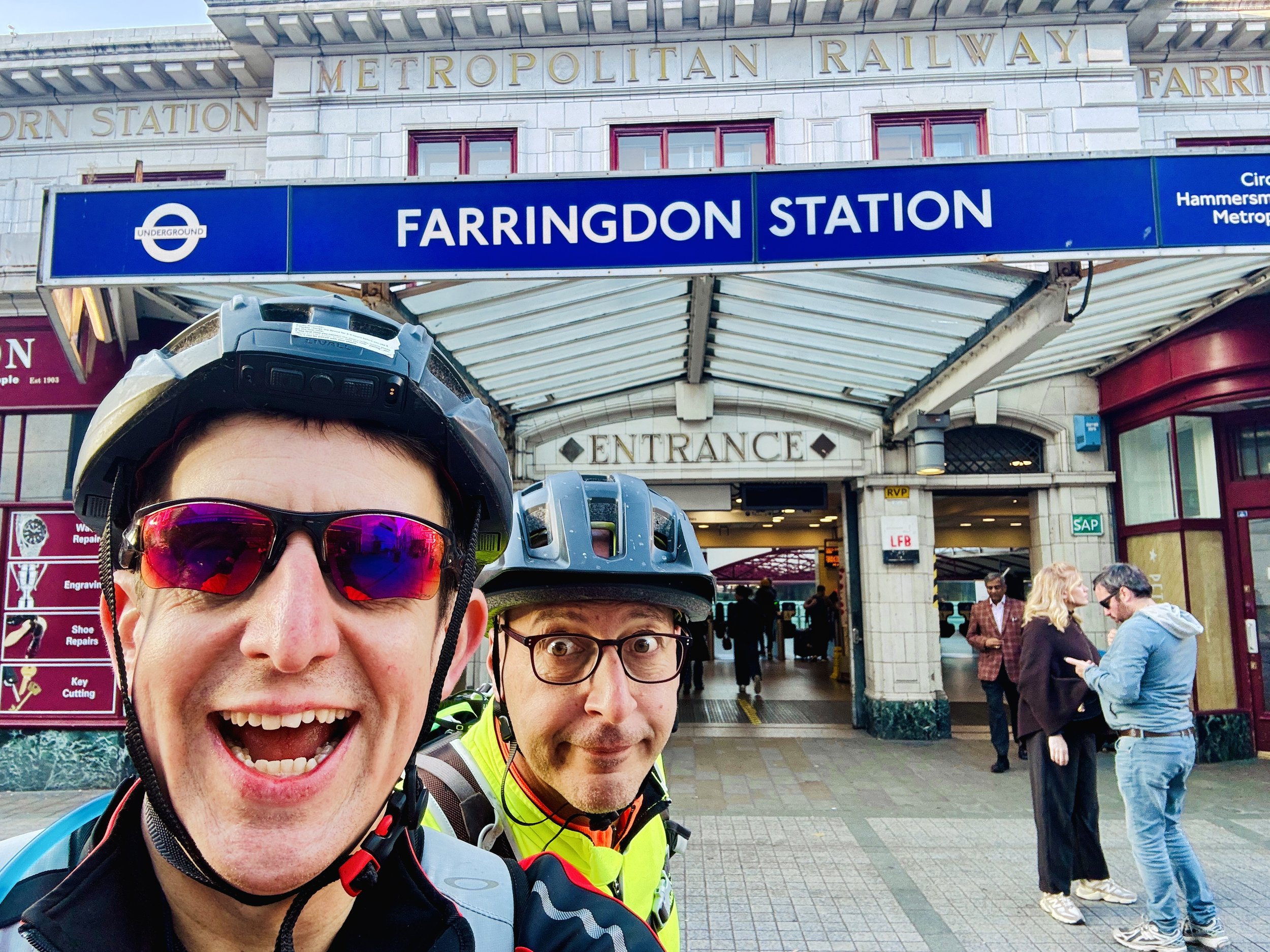
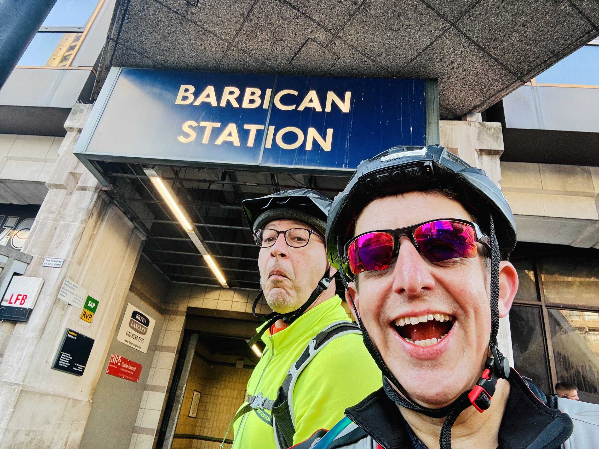
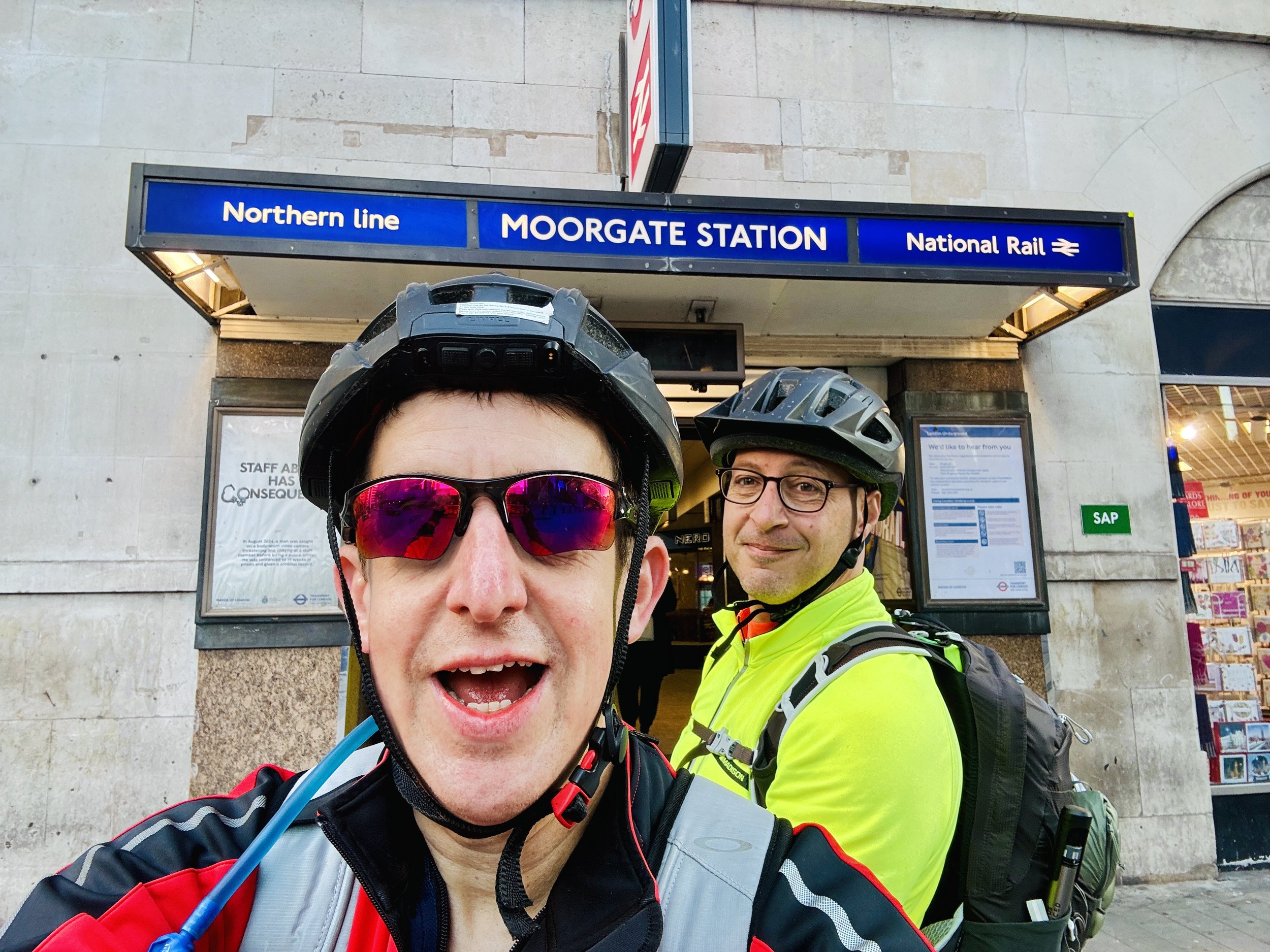
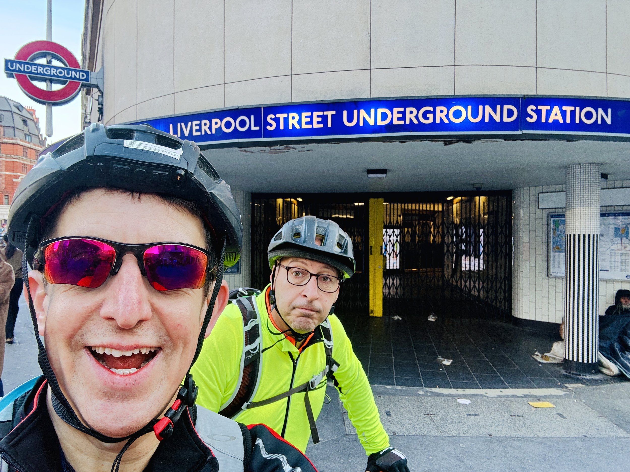
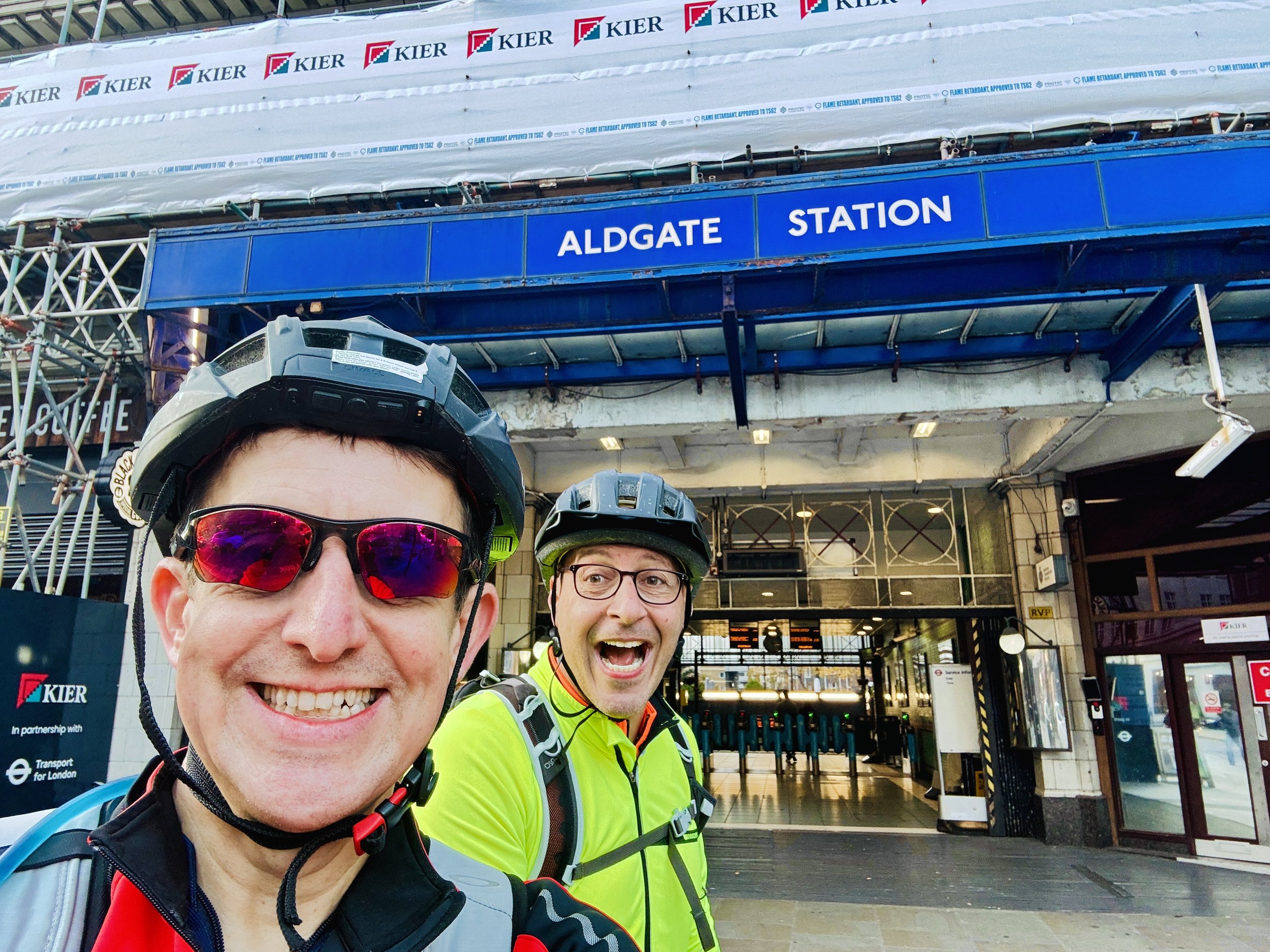
Past King’s Cross St Pancras, the stations sit barely a kilometre apart. We rolled past Farringdon, Barbican (which sits on land claimed to have been once owned by William Shakespeare), Moorgate, and Liverpool Street, until we finally reached the end of the line at Aldgate. Settling in for a celebratory coffee after 54 kilometres of pedalling, I completed the day's long-running joke with a photo of myself holding a coffee and a carrot cake, officially making it "Gower’s treat" to match my Gower Street photo. Brian had seen the pun coming a mile away, of course, but the shared laugh was the perfect finale.
With Brian staying in town for a date, I faced a classic London cyclist's logistical puzzle: you can't take a bike on the Metropolitan Line. Instead, I pedalled back to Liverpool Street, hopped on an off-peak Elizabeth Line train to Bond Street, cycled across to Marylebone, and caught a Chiltern Railways train back to Amersham, running parallel to the exact tracks we’d just conquered to reunite with my car.
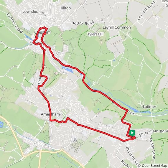
With the main line and Watford spur conquered, a lingering sense of incompleteness remained. I had walked to Chesham many times, following the River Chess from Rickmansworth or the Two Rivers Trail from Amersham, so I initially thought I could tick it off. It quickly bugged me, though, that I hadn't actually cycled the spur.
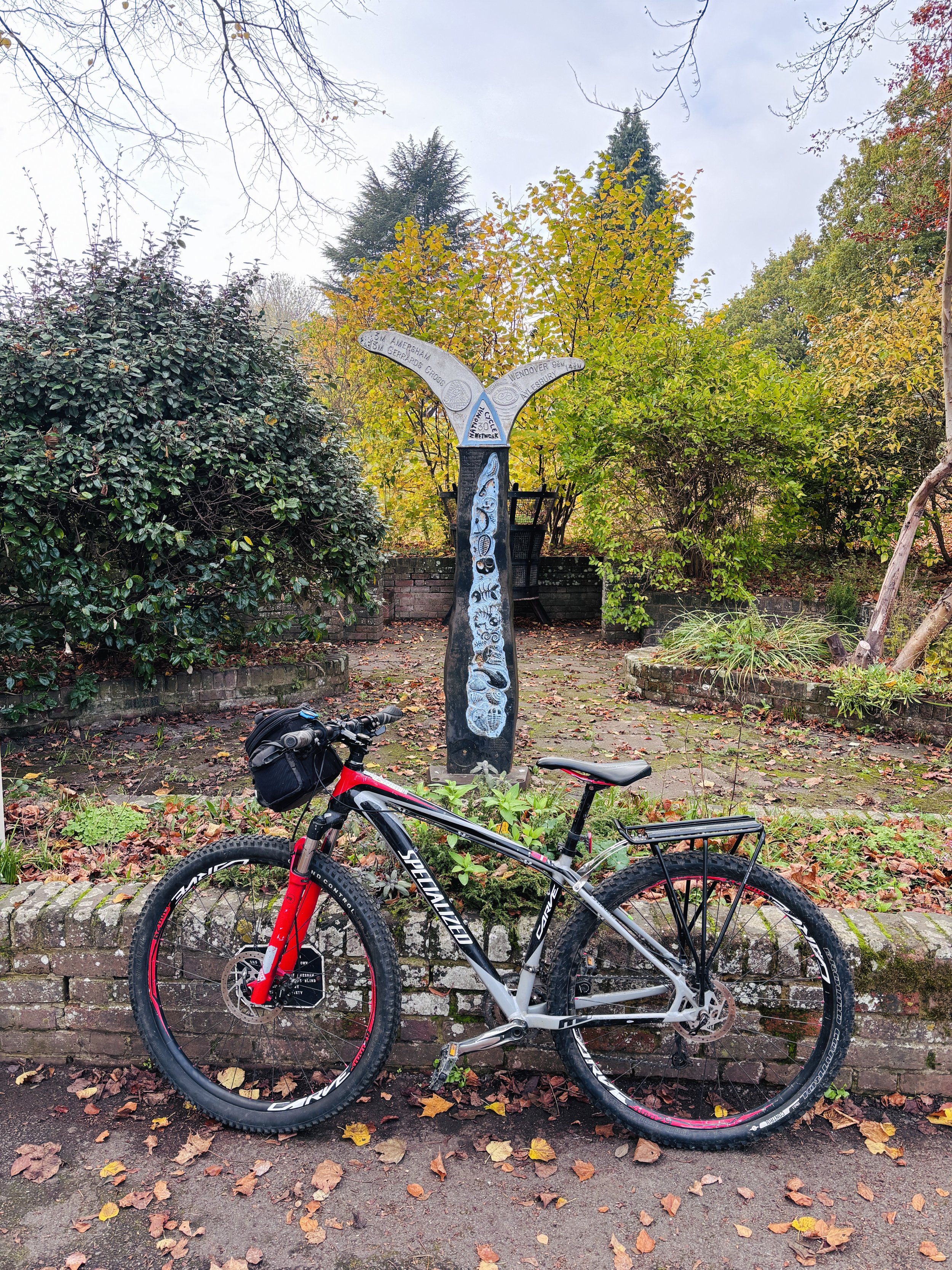
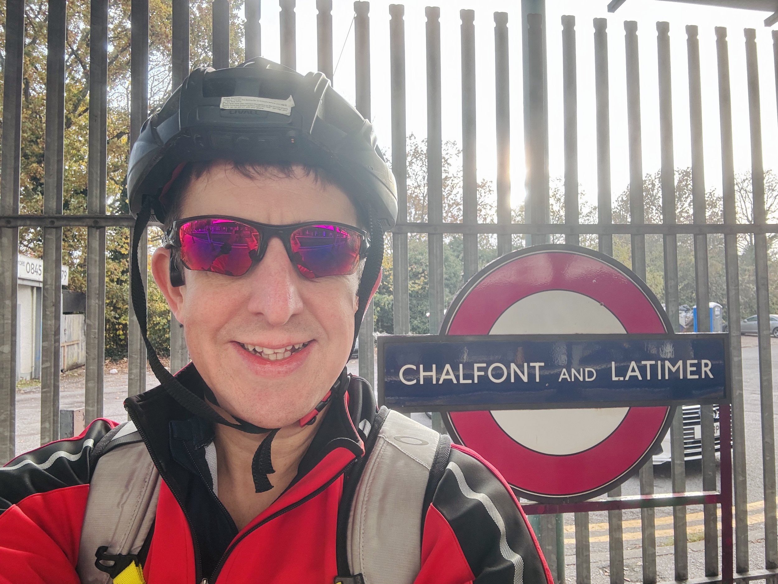
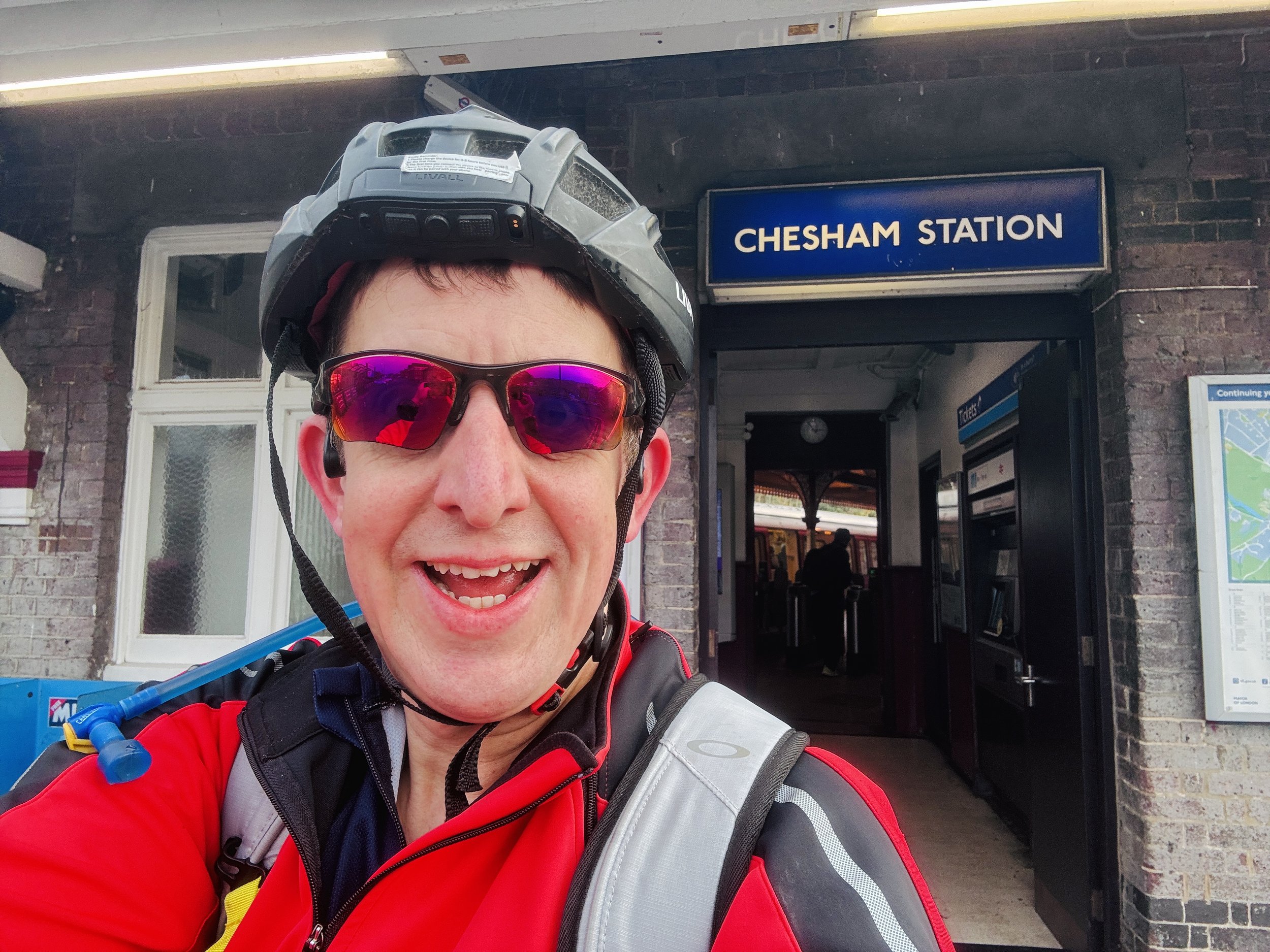
As soon as I had a spare couple of hours a few weeks later, I returned to set things right. Starting at Chalfont & Latimer, I turned away from the main line and pedalled up to Chesham, finally converting a familiar walking destination into a cycling milestone. To make a neat 16-kilometre loop of it, I returned via the NCN 30 cycle route and the Chiltern Heritage Trail back into Amersham, before retracing the final stretch back to Chalfont & Latimer.
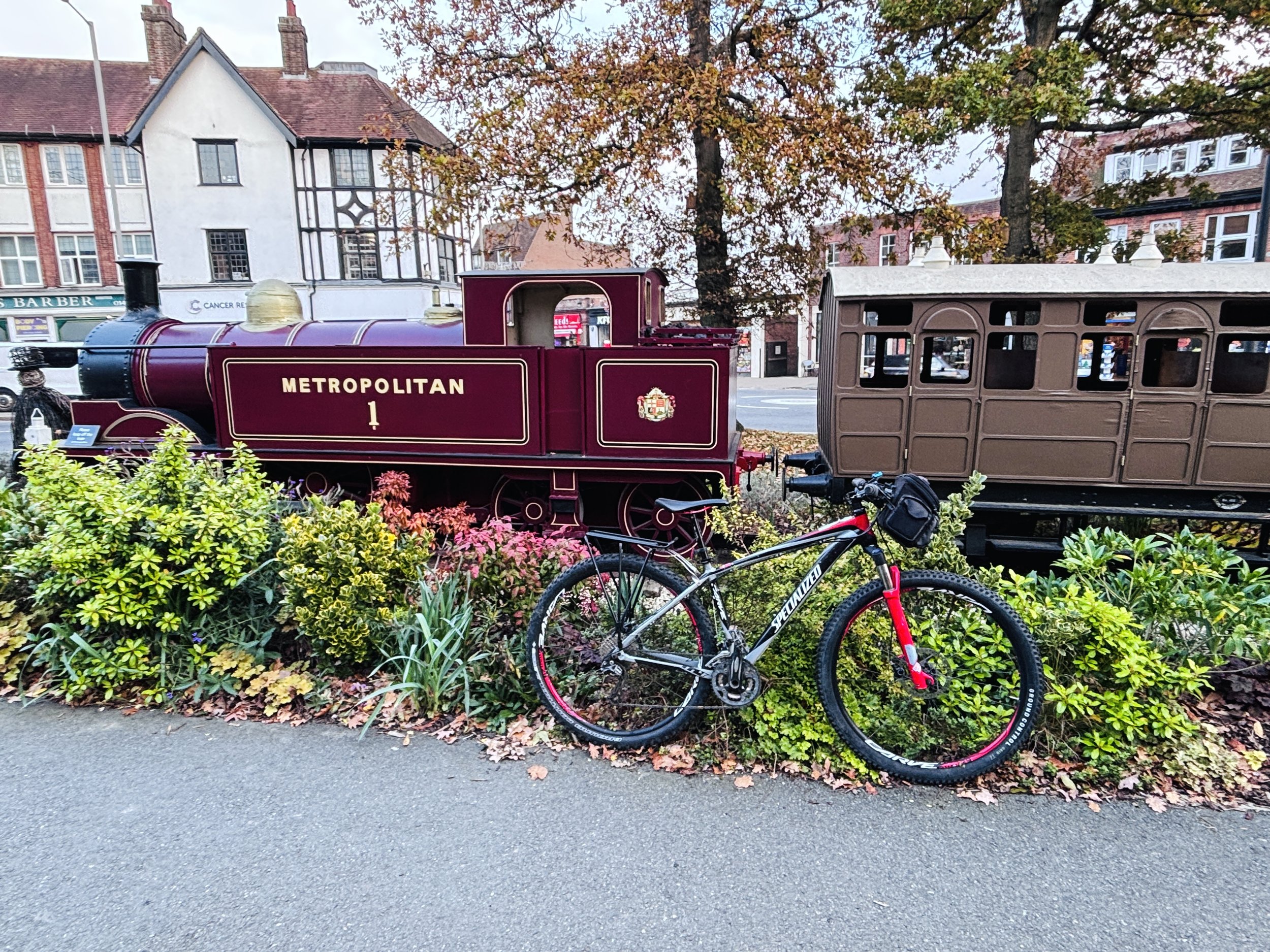
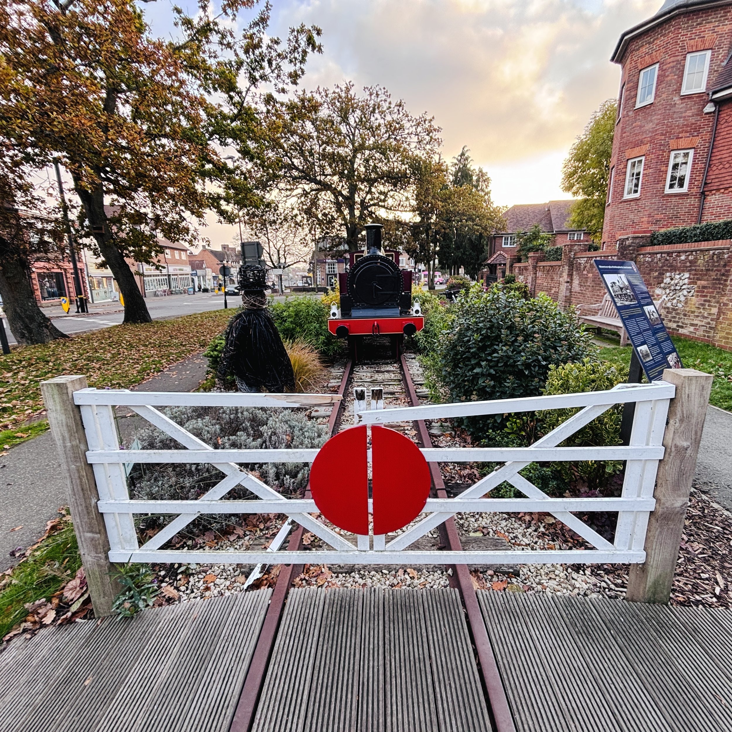
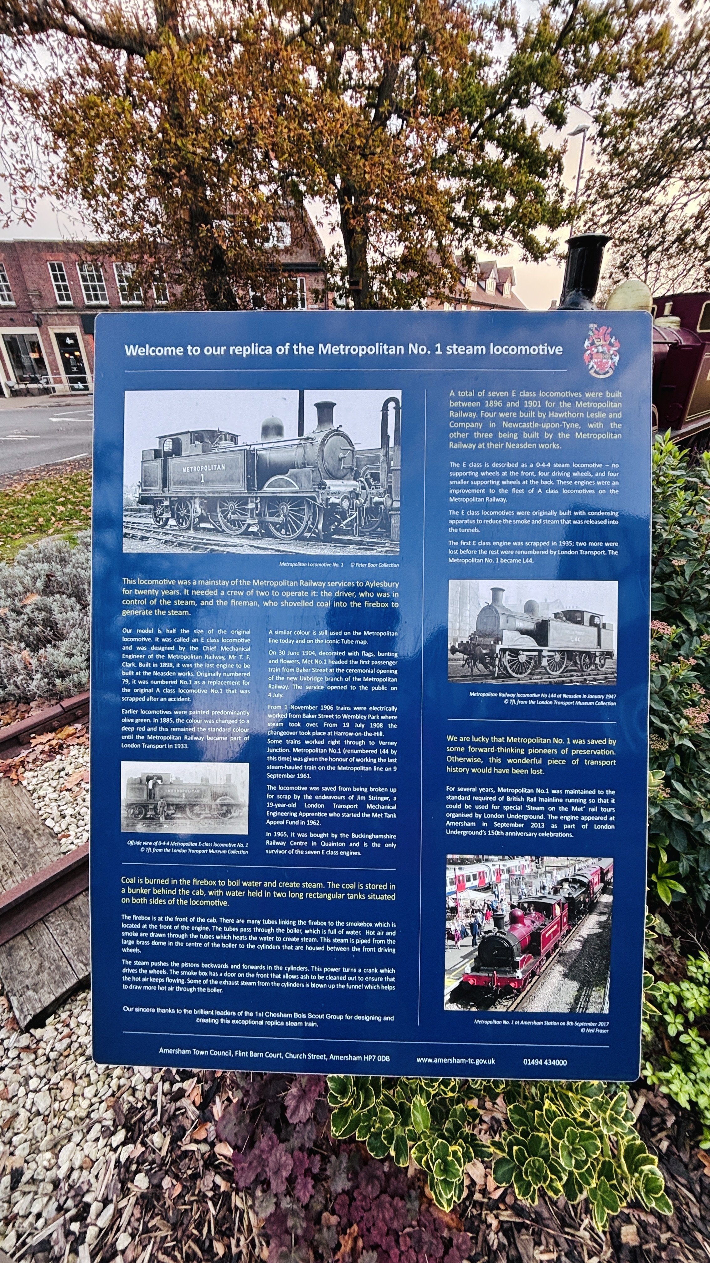
Technically, I have completed the Metropolitan Line as it exists today. Unlike the tight urban loops of my Circle and Bakerloo runs, trading trainers for two wheels on the Met offered a completely different rhythm, letting me cover vast distances and watch the countryside gradually transform into the city. Yet, as any railway enthusiast knows, the Met used to stretch much further north and west, pushing past Amersham and Aylesbury all the way out to Verney Junction in Buckinghamshire before the outer reaches were closed in the 1930s and 60s.
So, while the current map is ticked off and the 100-plus kilometres are in the legs, a new sense of incompleteness has already set in. Before I can truly close the book on the Metropolitan Line, there’s one more ghostly, disused stretch between Verney Junction and Amersham waiting for my wheels.
The Main Line: Amersham to Aldgate
Start: Amersham Station, Station Approach, Amersham HP6 5AZ
Finish: Aldgate Station, Aldgate High St, London EC3N 1AH
Distance: 54 km (33.5 miles)
Elevation change: +340m /-462m. Net -122m
GPX File: get via Buy Me a Coffee
Other routes touched (Walk): Chiltern Heritage Trail, Chess Valley Walk, Ebury Way, London Loop, Willow Tree Wander, Capital Ring, Regents Canal Towpath, Jubilee Walkway, City of London Boundary Walk
Other routes touched (Cycle): NCN 6, 61, Chiltern Heritage Cycle Routes (Milton), Grand Union Canal Towpath, NCN 30, Q3, C6, C10, C11, C27, C41
Map: OS Explorer Map (173) London North, The City, West End, Enfield, Ealing, Harrow & Watford
The Western Spurs: Uxbridge to Watford
Start: Uxbridge Station, High St, Uxbridge, UB8 1JZ
Finish: Watford Station, Cassiobury Park Avenue, Watford, WD18 7LE
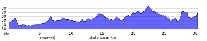
Distance: 30.4 km (18.9 miles) plus 18.2 km (11.3 miles for the return via the Grand Union)
Elevation change: +185m /-162m. Net -23m (and +63m/-86m for the return via the Grand Union)
GPX File: get via Buy Me a Coffee
Other routes touched (Walk): Celandine Route, Willow Tree Wander, Hillingdon Trail, London Loop, Ebury Way, Croxley Green Boundary Walk …and for the return… Colne Valley Trail
Other routes touched (Cycle): NCN 6, 61, Grand Union Canal Towpath
Map: OS Explorer Map (173) London North, The City, West End, Enfield, Ealing, Harrow & Watford
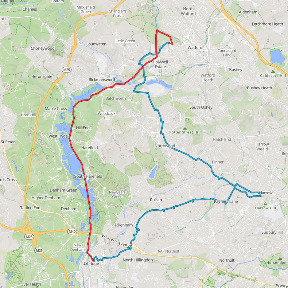
Blue = the Metropolitan Line Spurs cycle route from Uxbridge to Watford. Red is the return trip via the Grand Union Canal
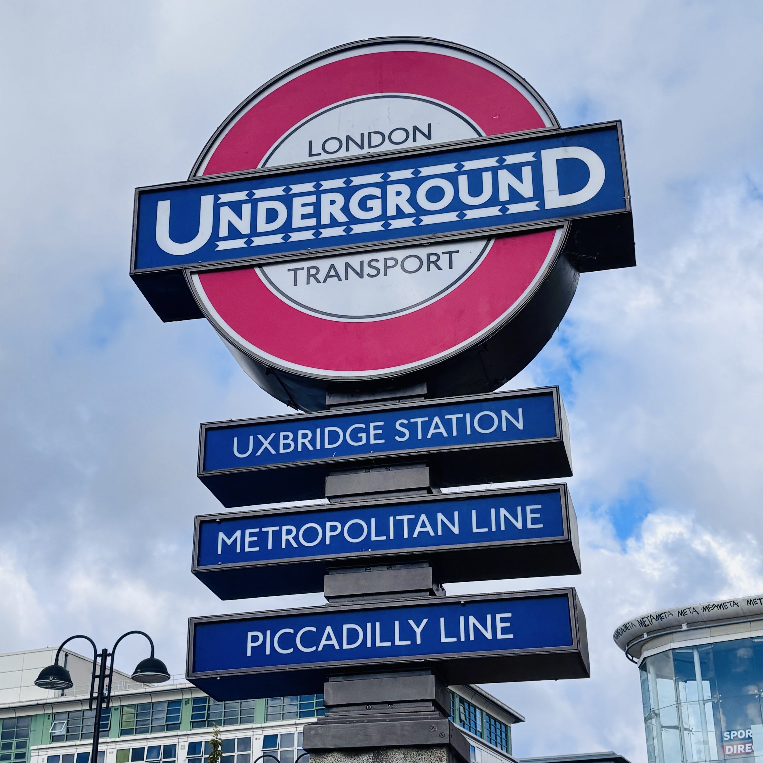
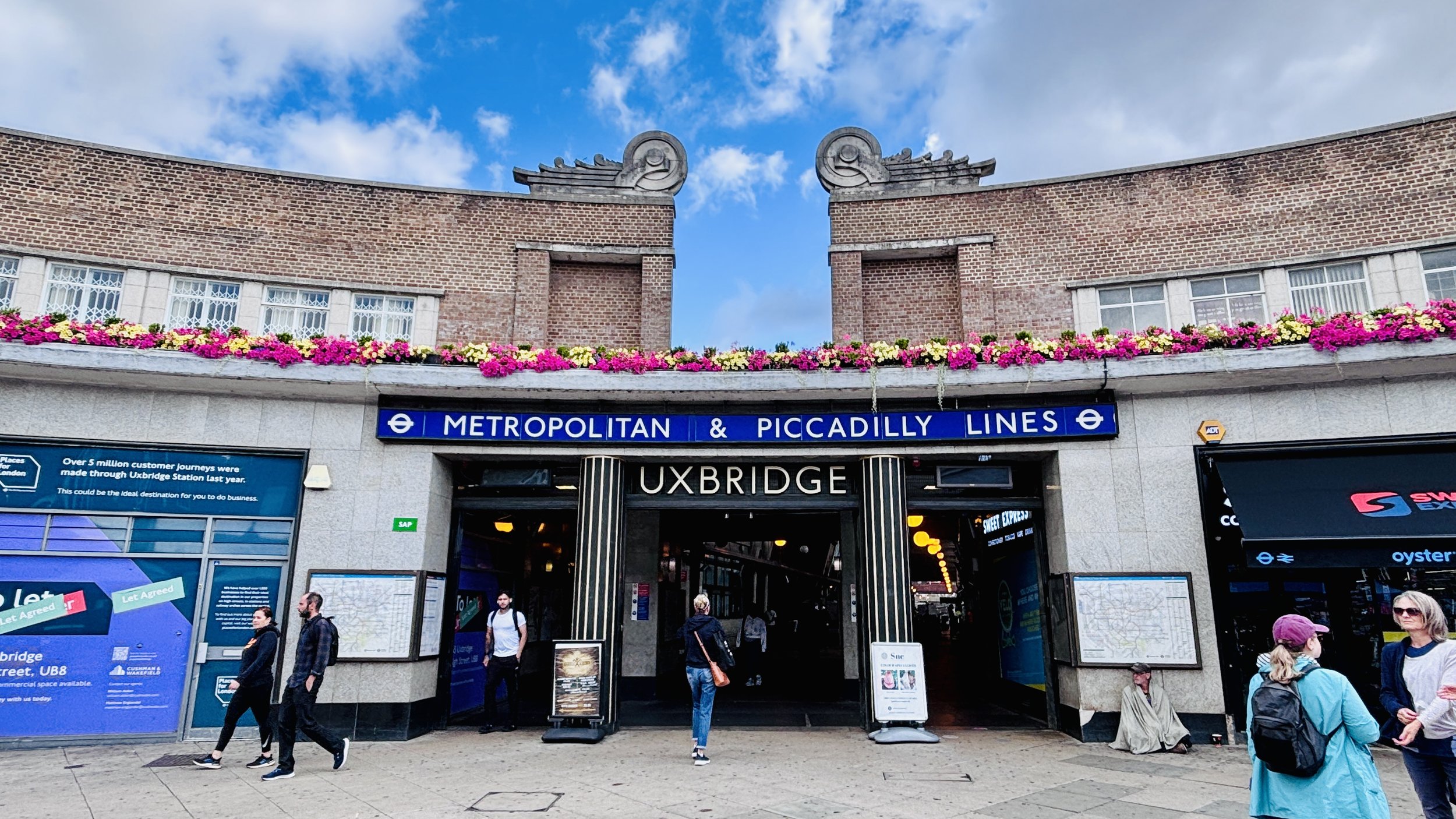
The End of the Line: Amersham, Chesham and Chalfont and Latimer
Start and Finish: Chalfont & Latimer Station, Station Approach, Little Chalfont, Amersham HP7 9PR
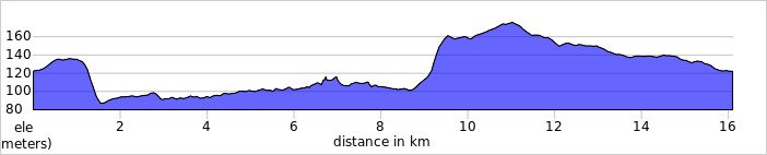
Distance: 16.1 km (10 miles)
Elevation change: */- 134m
GPX File: get via Buy Me a Coffee
Other routes touched (Walk): Chiltern Heritage Trail, Chess Valley Walk, Two Rivers Walk
Other routes touched (Cycle): NCN 30, Chiltern Heritage Cycle Routes (Harding, Milton)
Maps:
- Chiltern Hills East Map | High Wycombe, Maidenhead & Rickmansworth | Ordnance Survey | OS Explorer Map 172
- Chiltern Hills North Map | Aylesbury, Berkhamsted & Chesham | Ordnance Survey | OS Explorer Map 181
More London Underground Lines
More London Posts
If you enjoyed reading this post, there is plenty more to explore across the capital. I have put together a dedicated London Outdoors page where I keep track of all my other adventures around the city. It is a handy index where I group my posts by the different types of places I have visited: including historic boundary lines, canal towpaths, and some surprising urban high points.
The collection covers a bit of everything: from long-distance cycling routes to tracing the underground network on foot, and ticking off another Saturday morning parkrun. If you are looking for some inspiration for your own weekend outings, head back over to the London Outdoors page to see what else I have been up to.