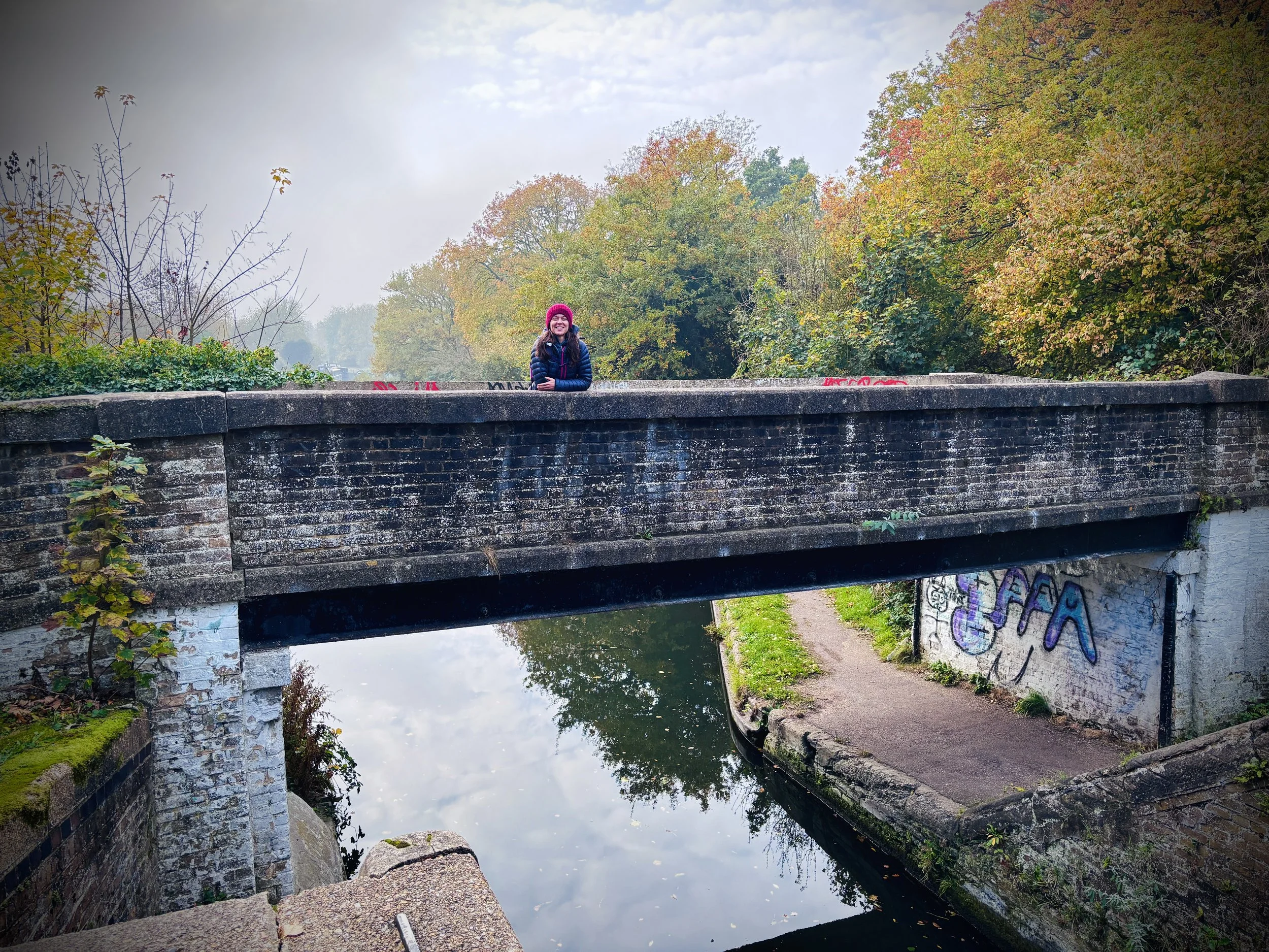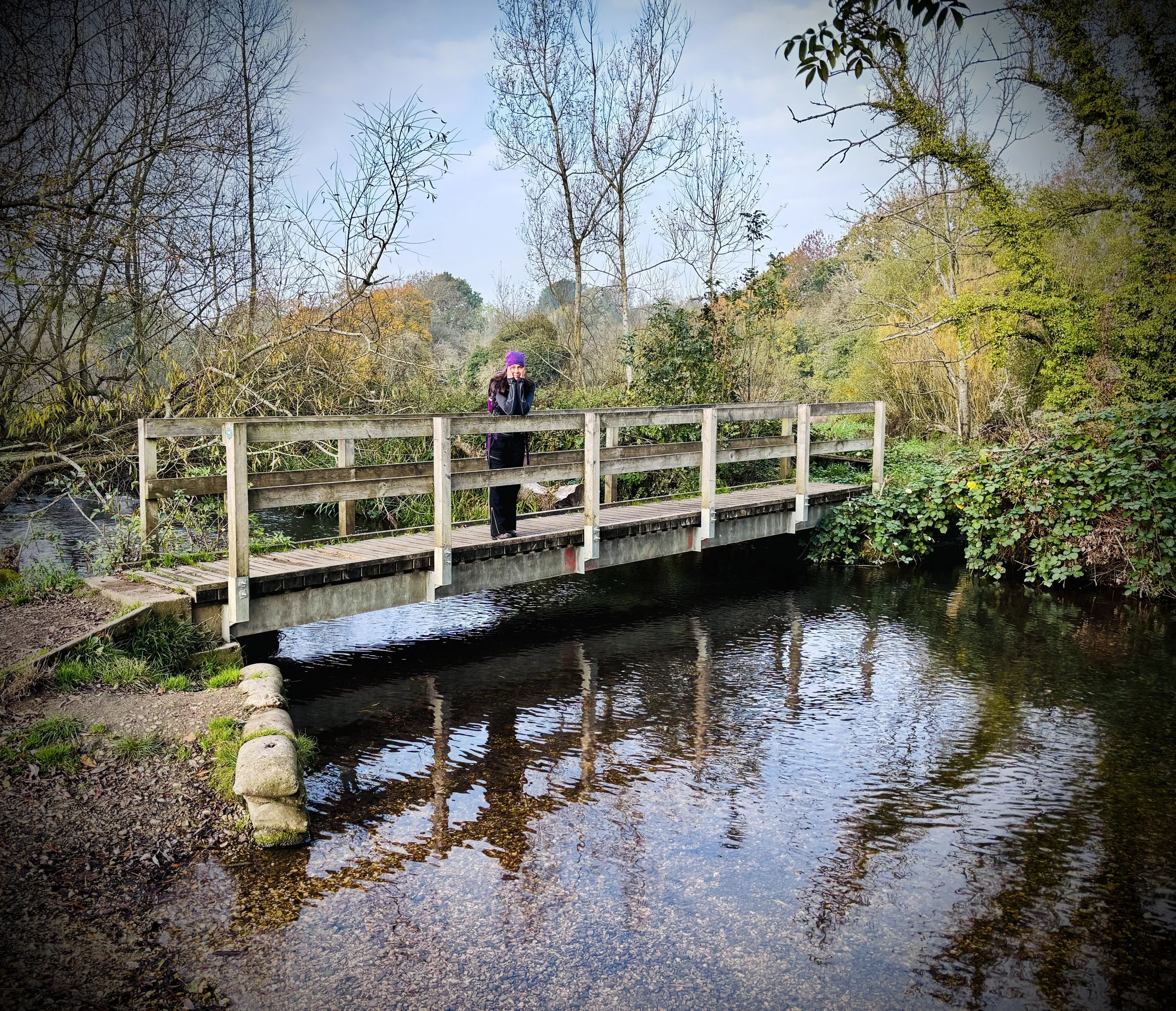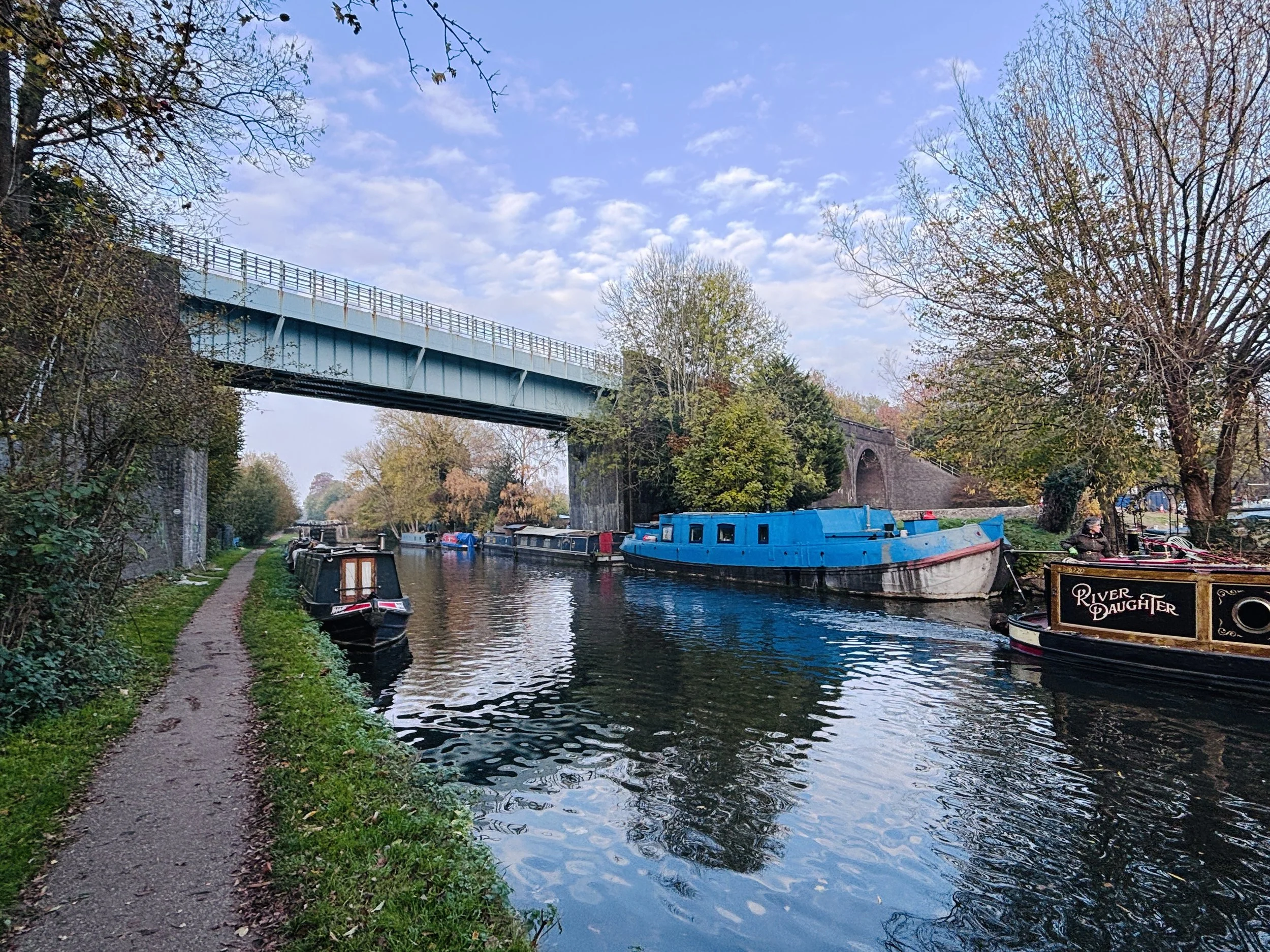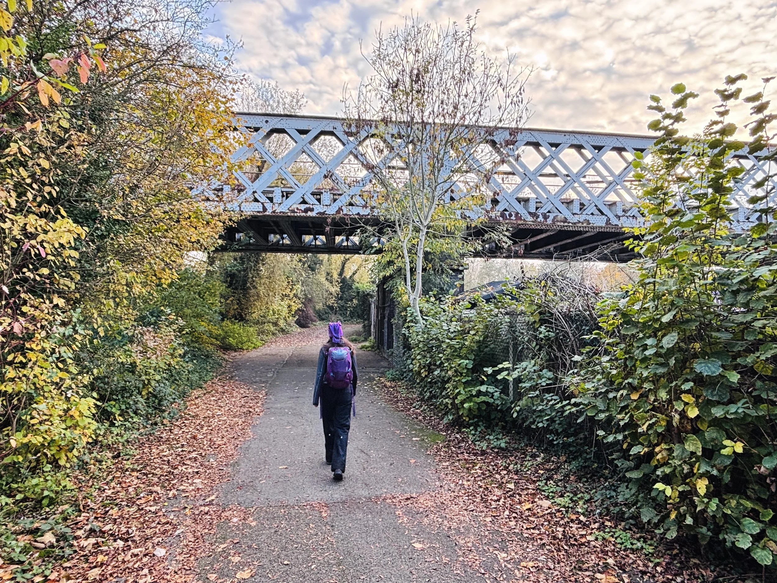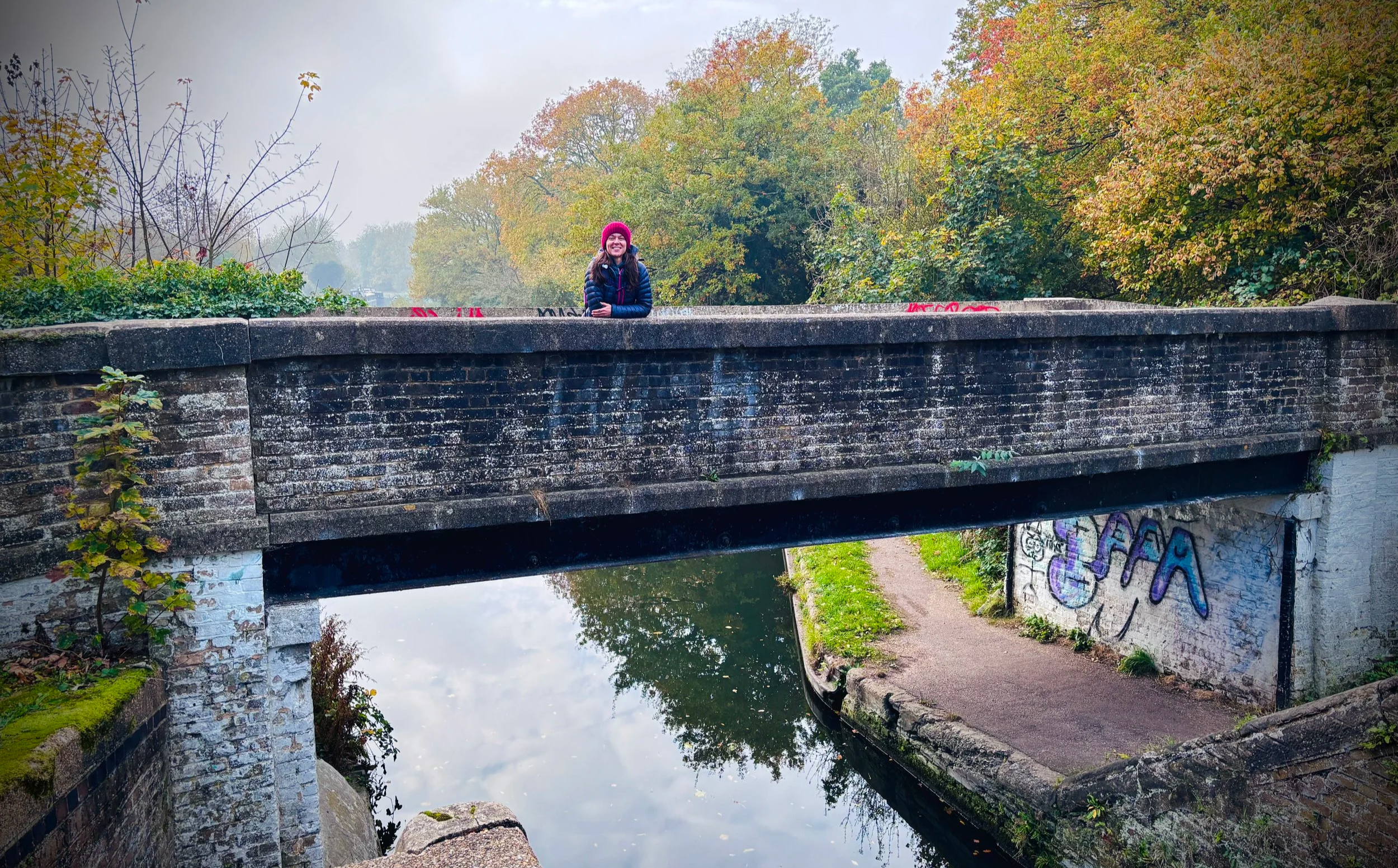
Bridge over the Grand Union Canal near Croxley Station
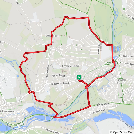
Start & Finish: Croxley Station, Watford Rd, Croxley Green, Rickmansworth WD3 3DD
Distance: 11.2 km (7 miles)
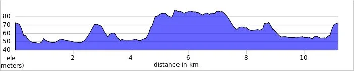
Elevation change: +/- 106m
Terrain: A mix of well-maintained footpaths, suburban pavements, canal towpaths, and park tracks.
GPX File: get via Buy Me a Coffee
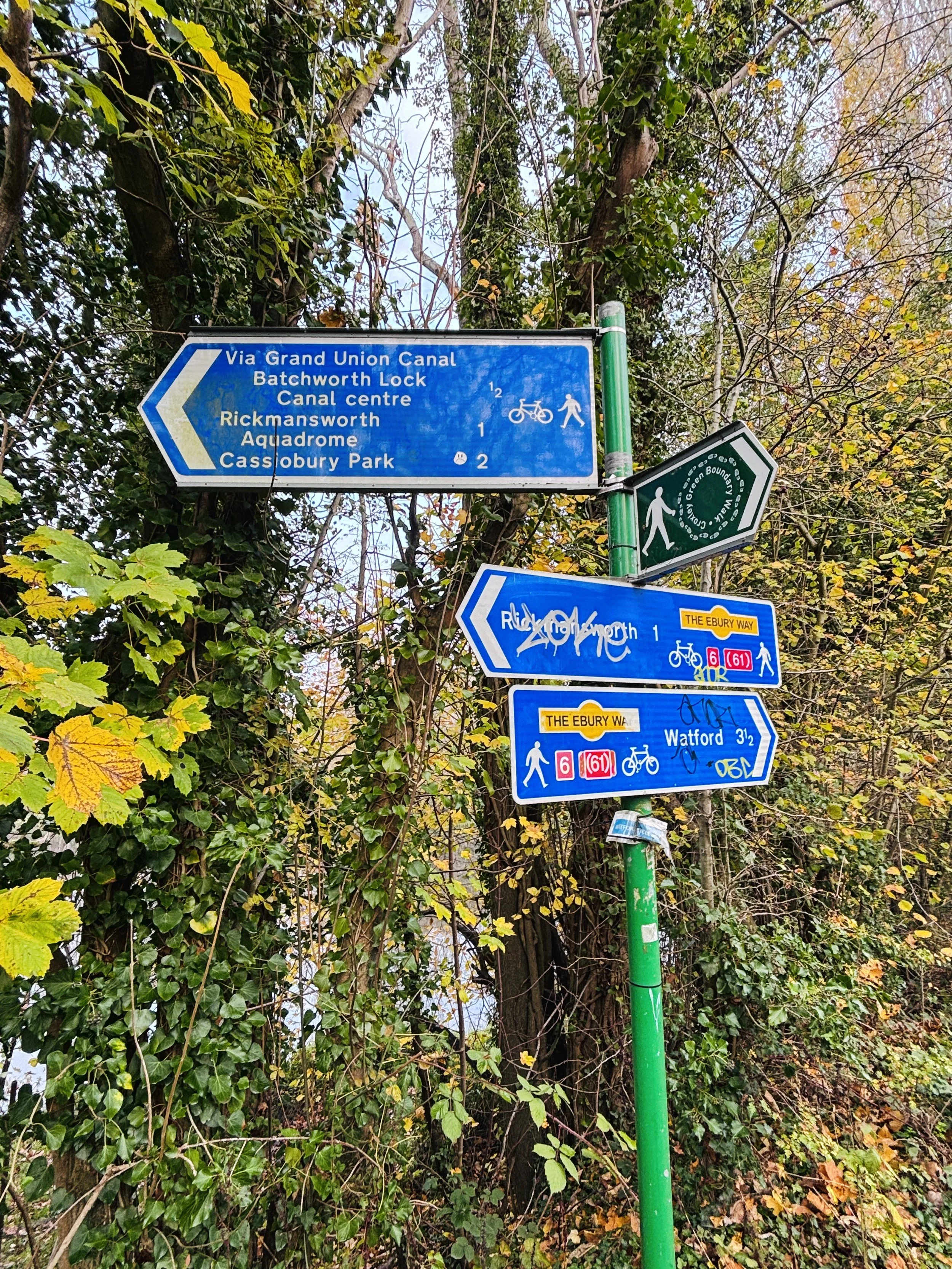
Other routes touched (walk): Ebury Way, Chess Valley Walk
Other routes touched (cycle): Grand Union Canal Towpath, NCN 6, 61
Pubs / Cafes on route: The Red House pub near the start and finish
Map: Chiltern Hills East Map | High Wycombe, Maidenshead & Rickmansworth | Ordnance Survey | OS Explorer Map 172
Links: Croxley Green, Watford, River Chess, Grand Union Canal
Walking Directions
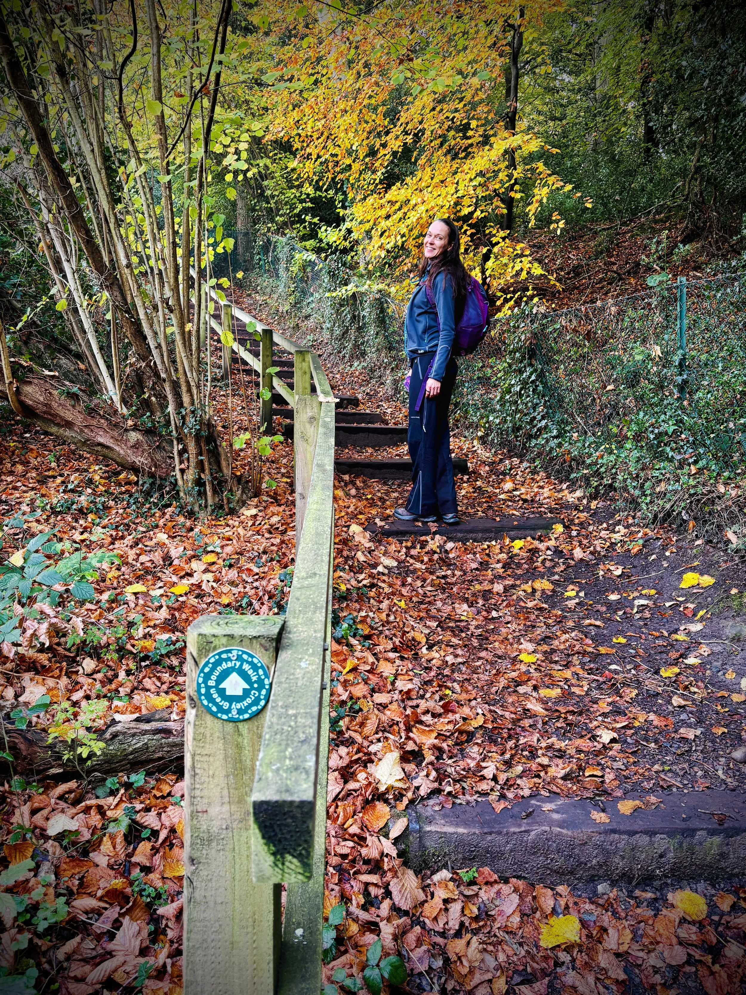
The Croxley Green Boundary Walk offers a delightful exploration of Hertfordshire's suburban fringe, blending open green spaces with historic waterways. Walkers will experience a varied landscape that loops around the outskirts of Croxley Green, taking in peaceful canal paths, quiet residential stretches, and scenic field boundaries. It is an ideal route for a leisurely half-day stroll, providing plenty of interesting sights and local character along the way.
The guidance below will help you navigate but don’t use it as a fully accurate turn-by-turn guide. Always take a map and/or a GPX route and prepare well for the weather and terrain.
Start at Croxley Station (also shown as Croxley on London Underground signage): with your back to the station, turn left and walk along Watford Road in an easterly direction.
Turn right onto Mill Lane and descend all the way down to the Grand Union Canal.
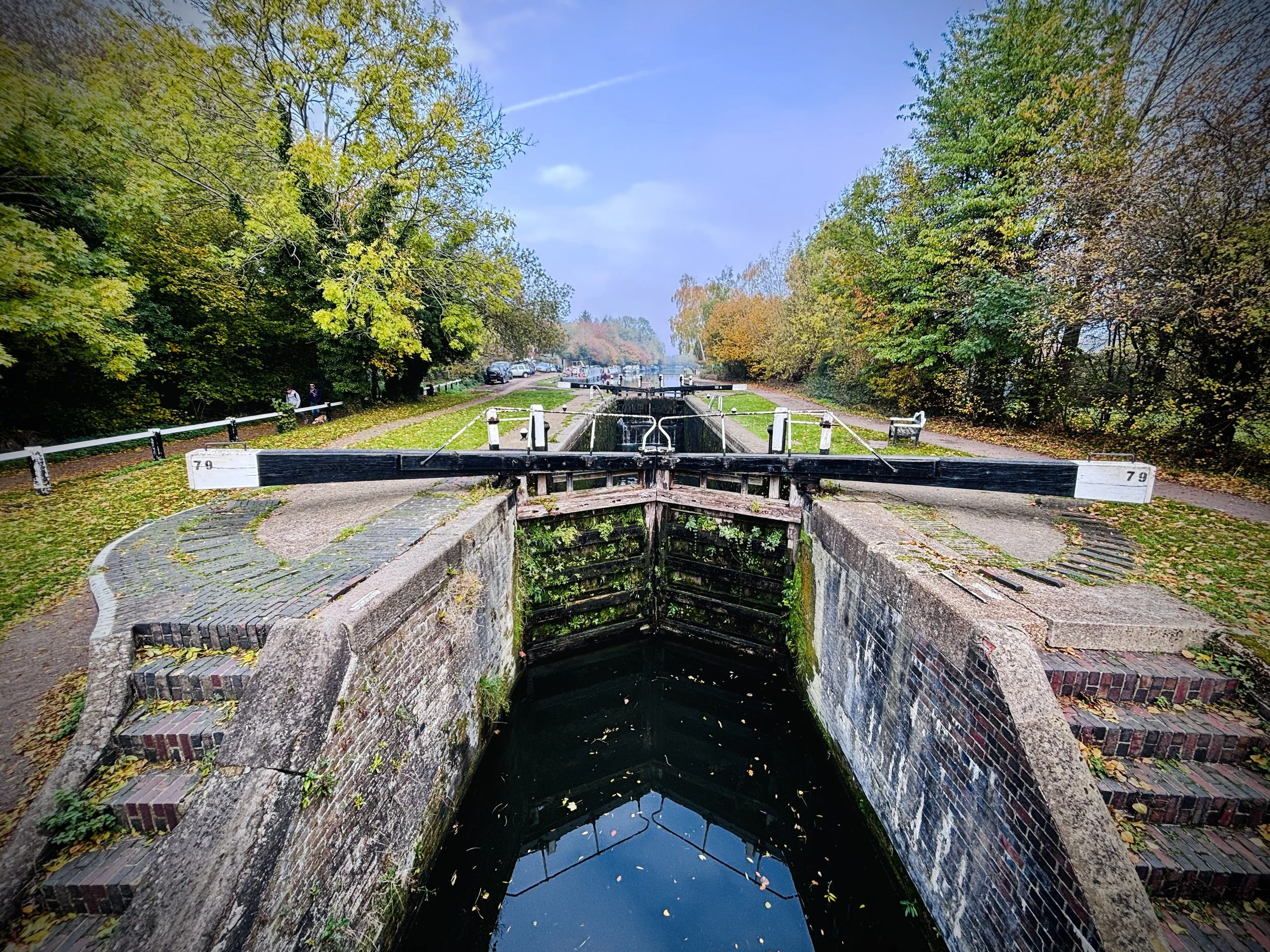
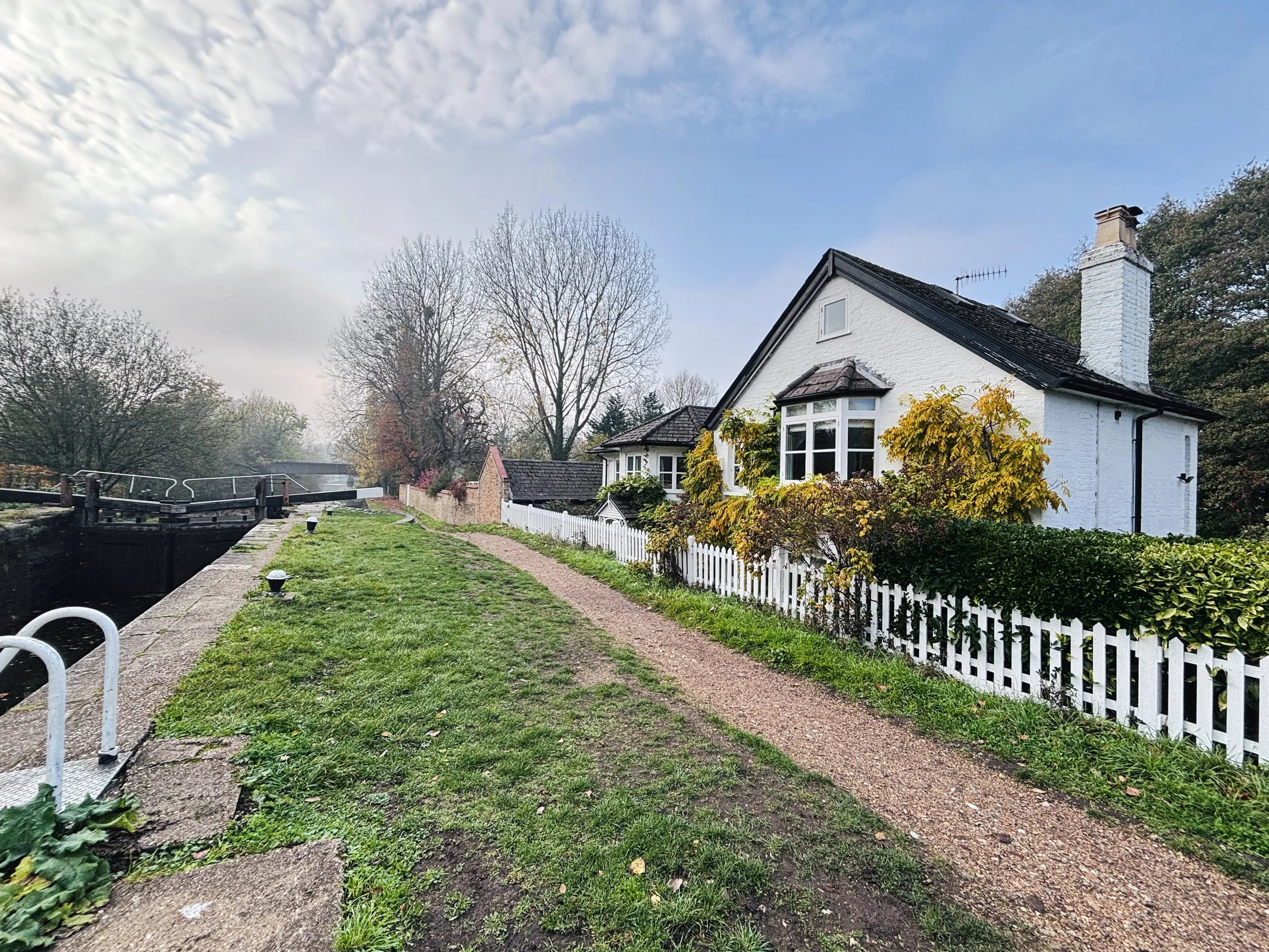
Reach Common Moor Lock (79), cross over the lock and the Grand Union Canal, and immediately over the bridge continue in a south-easterly direction.
Follow the footpath passing over the River Gade and onto Croxley Common Moor.
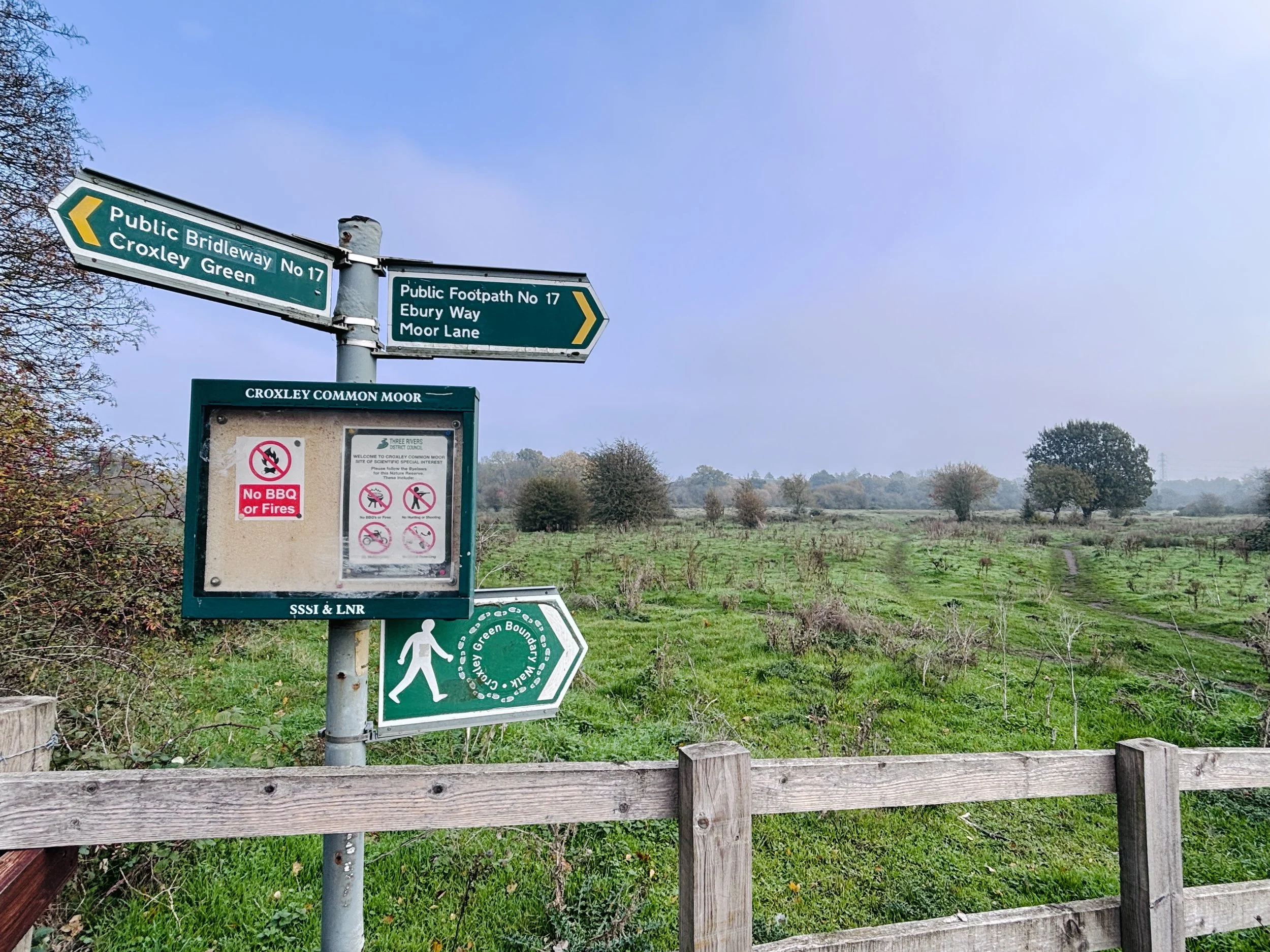
Cross diagonally along the path on Croxley Common Moor in a southerly direction to the southern side of the moor to join Ebury Way (the former railway line).
Turn right onto Ebury Way and follow it in a south-westerly direction, passing over a bridge over the Grand Union Canal.
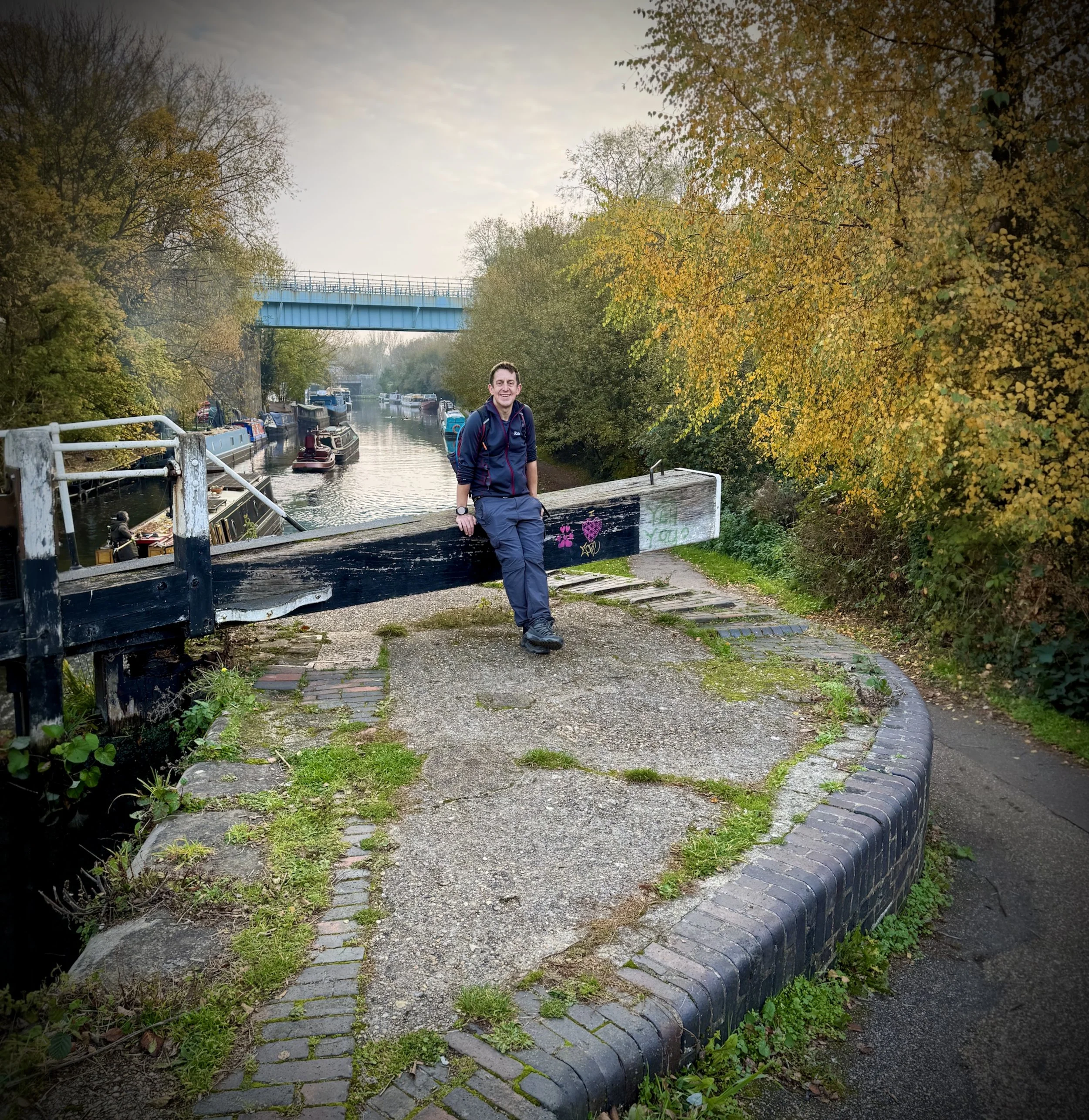
Immediately after crossing the bridge, turn right onto the canal towpath/footpath just past Lot Mead Lock (80).
Immediately after Lot Mead Lock (80), turn left onto a footpath leading away from the canal in a north-easterly direction.
At Croxley Great Barn, turn right onto Croxley Hall Farm Road and cross over the railway line.
Follow a track to Lavrock Lane, then turn right and follow Lavrock Lane up to Park Road (A412).
Turn left onto the pavement on the southern side of Park Road (A412), cross carefully at a crossing, and enter the shared entrance for Scots Bridge play area and Miller & Carter Rickmansworth.
Follow the footpath to the left of Miller & Carter Rickmansworth heading north to join the Chess Valley Walk.
Take the footpath over the bridge crossing the River Chess and walk in a north-westerly direction through farmland.
Follow the paths through the farmland until you reach the corner of The Green.
From the corner of The Green, continue in a north-easterly direction to meet Little Green Lane.
Turn left onto Little Green Lane and follow it in a northerly direction until you reach the edge of a field.
At the edge of the field, turn left and follow the path along the field in a north-easterly direction.
Continue along the path until you reach a series of path junctions in the wood.
At the wood junctions, turn right onto the path heading in an easterly direction until you meet Rousebarn Lane.
Turn right onto Rousebarn Lane and follow it in a south-south-easterly direction all the way to the Grand Union Canal footpath.
Turn right onto the Grand Union Canal footpath, keeping on its western side, and walk south.
Pass under Rickmansworth Road and immediately turn right to cross over the bridge on the path along its southern edge onto the Watford side.
Immediately after crossing the bridge, turn right onto the path staying close and parallel to the Grand Union Canal on its south-eastern side.
Follow this canal-side path until you return to Common Moor Lock (79) (the bridge crossed earlier on the route).
Cross back over the bridge to the north-western side of the Grand Union Canal.
Retrace your steps back up Mill Lane to Watford Road (A412), then follow it back to Croxley Station.
Points of Interest Along Or Near to The Route
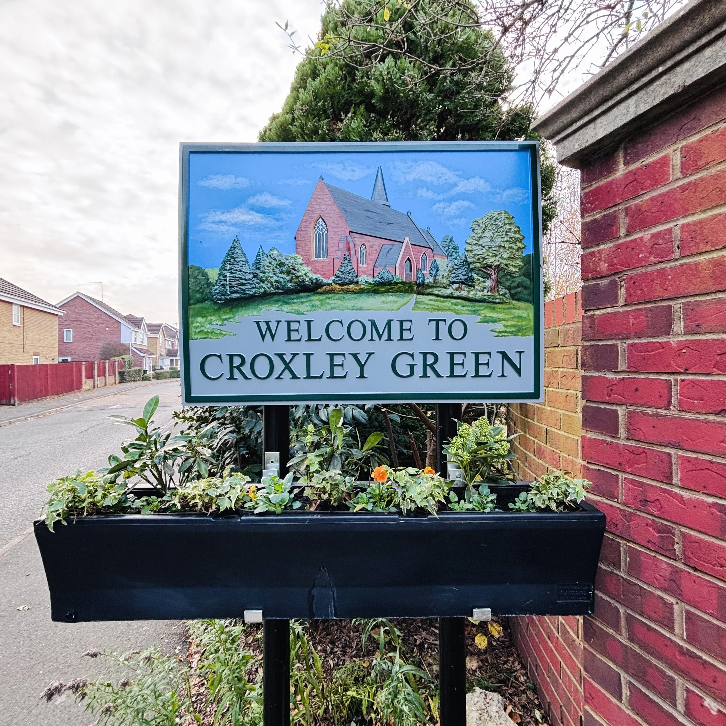
Croxley Green is a large Hertfordshire village situated between Watford and Rickmansworth. The village is centred around its expansive green, which is widely regarded as one of the longest village greens in England. Despite its proximity to major transport links and commercial centres, Croxley Green retains a distinctive village character and strong sense of community.
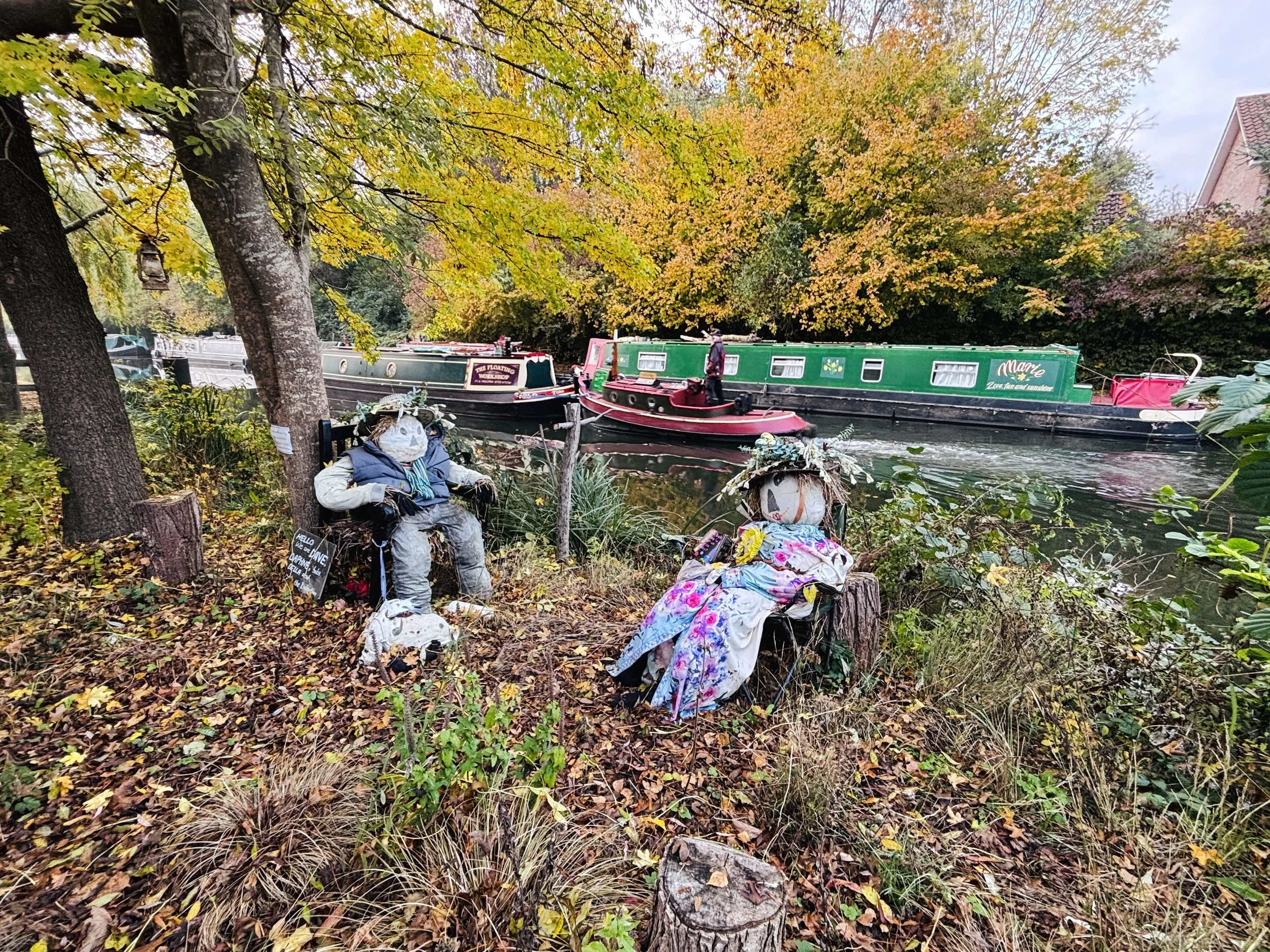
The Grand Union Canal forms an attractive waterside section of the walk. Stretching between London and Birmingham, it was once a vital transport route for industry and trade. Today, its towpaths provide a peaceful setting for walkers and cyclists, while the waterway supports a rich variety of wildlife.
Watford: Just east of the route lies Watford, one of Hertfordshire's largest towns. Its origins can be traced back to the Anglo-Saxon period, and it later grew into an important market town. Modern Watford is a major commercial and cultural centre, yet nearby parks, waterways and green spaces provide a welcome contrast to its urban character.
The River Chess flows through the Chiltern Hills before joining the River Colne at Rickmansworth. As one of England's rare chalk streams, it is famed for its clear, spring-fed waters and diverse wildlife, including brown trout, water voles and aquatic plants. The river contributes to the distinctive landscape of the Chess Valley and the wider Three Rivers area.