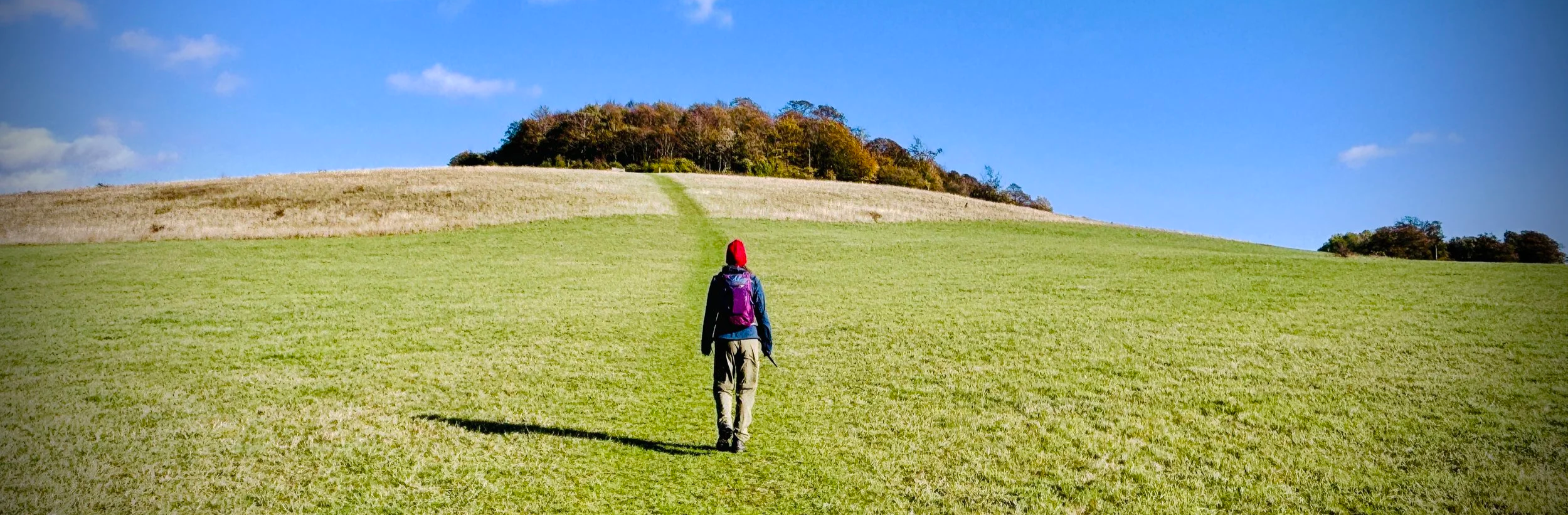
Ascending Round Hill from the Earth Trust Visitor Centre
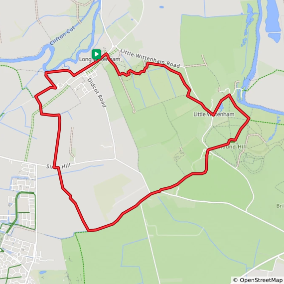
Start & Finish: On-street parking opposite the The Plough Inn, High St, Long Wittenham, Abingdon, OX14 4QH
Distance: 10 km (6.2 miles)
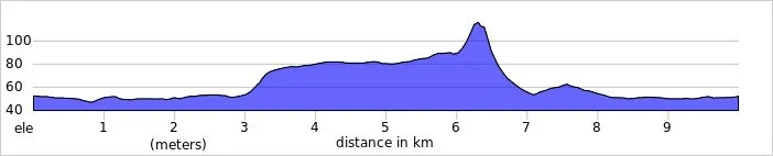
Elevation change: +/- 81m
Terrain: Undulating grassy paths, woodland trails, and steep chalk hill climbs with some uneven sections.
GPX File: get via Buy Me a Coffee
Other routes touched (walk): The Roman Way
Other routes touched (cycle): NCN 5
Pubs / Cafes on route: The The Plough Inn, Long Wittenham at the start and end of the walk. Cafe at the Earth Trust at 5.7 km in
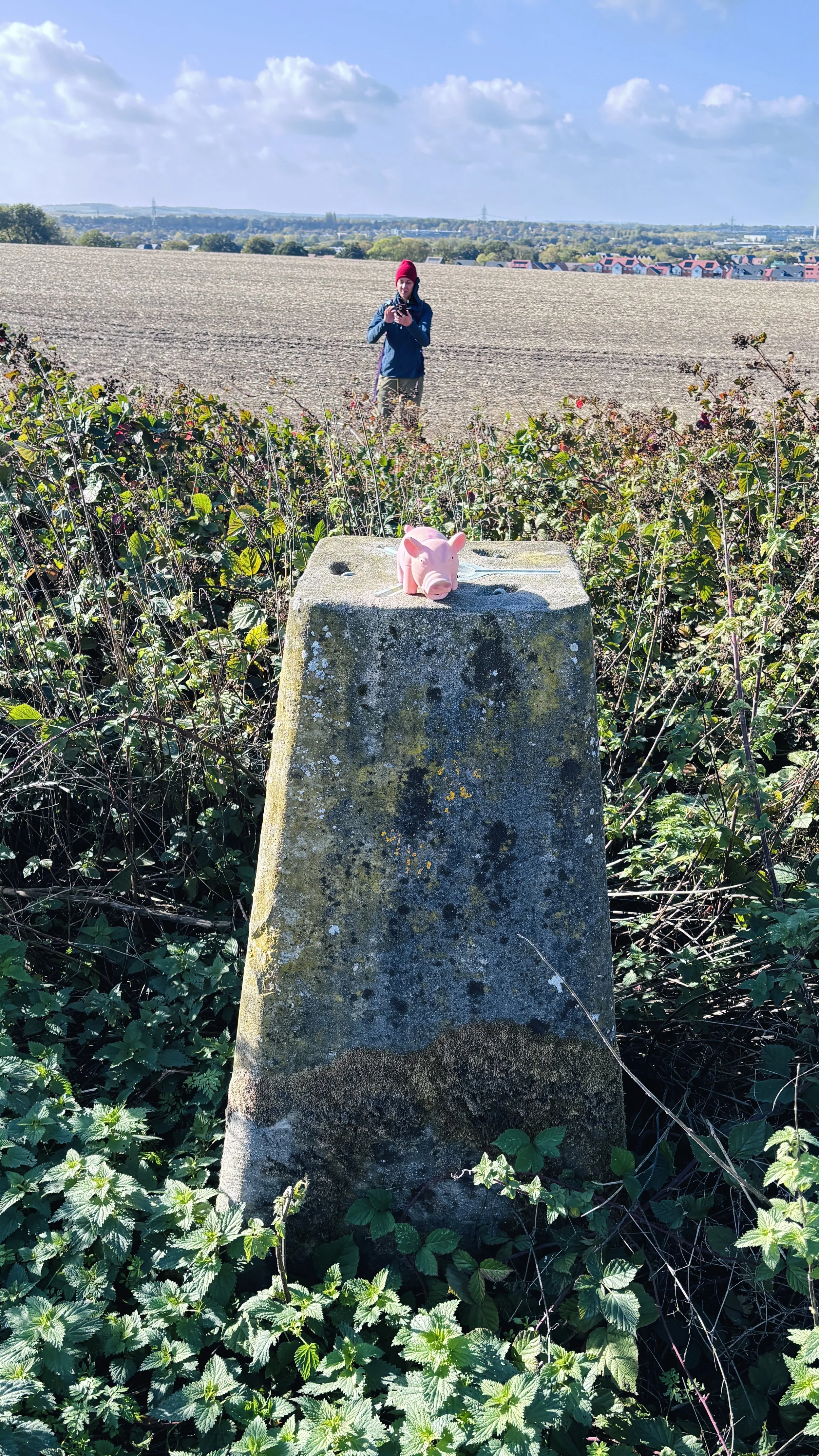
OS Trig Pillar: TP2825 - Down Hill
Map: Vale of White Horse Map | Abingdon-on-Thames, Wantage, Wallingford & Faringdon | Ordnance Survey | OS Explorer Map 170
Links: Wittenham Clumps, Long Wittenham, Little Wittenham, The Earth Trust
This is part of a series of walks that combine beautiful countryside trails with finding (or “bagging”) an OS Trig Pillar. If you’ve searched for or stumbled across this page then you probably already know what an OS Trig Pillar is. If you don’t then this article from the Ordnance Survey is a good place to start.
Walking Directions
This picturesque circular route showcases some of the finest scenery in South Oxfordshire, taking you from the peaceful streets of Long Wittenham across the Thames Valley fields. The journey begins on relatively flat, easy terrain that allows you to warm up your legs before the landscape dramatically changes.
The undisputed highlight of the trek is the ascent up the Wittenham Clumps. Rising sharply from the otherwise gentle landscape, these hills provide an excellent vantage point across the surrounding countryside. After catching your breath at the summit, the route loops back down through the nature reserves of Little Wittenham, returning you to your starting point just in time for a well-earned pub lunch.
The guidance below will help you navigate but don’t use it as a fully accurate turn-by-turn guide. Always take a map and/or a GPX route and prepare well for the weather and terrain.
Begin in High Street in Long Wittenham, where there is free on-street parking near The Plough Inn and at the junction of High Street and Didcot Road.
Follow High Street in a south-westerly direction from The Plough Inn and continue along High Street where the main road curves to the south along Didcot Road. At the junction continue along High Street rather than following Didcot Road.
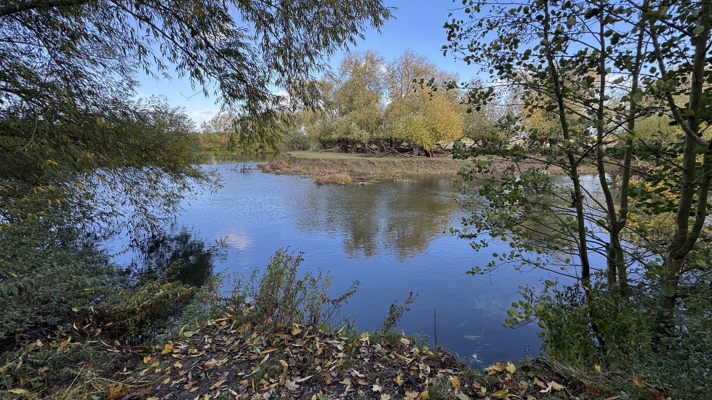
A little way down, take a right onto the first footpath on the right: this leads behind some houses and out into fields to meet the River Thames.
Take a left onto a footpath alongside a small stream that leads back to High Street.
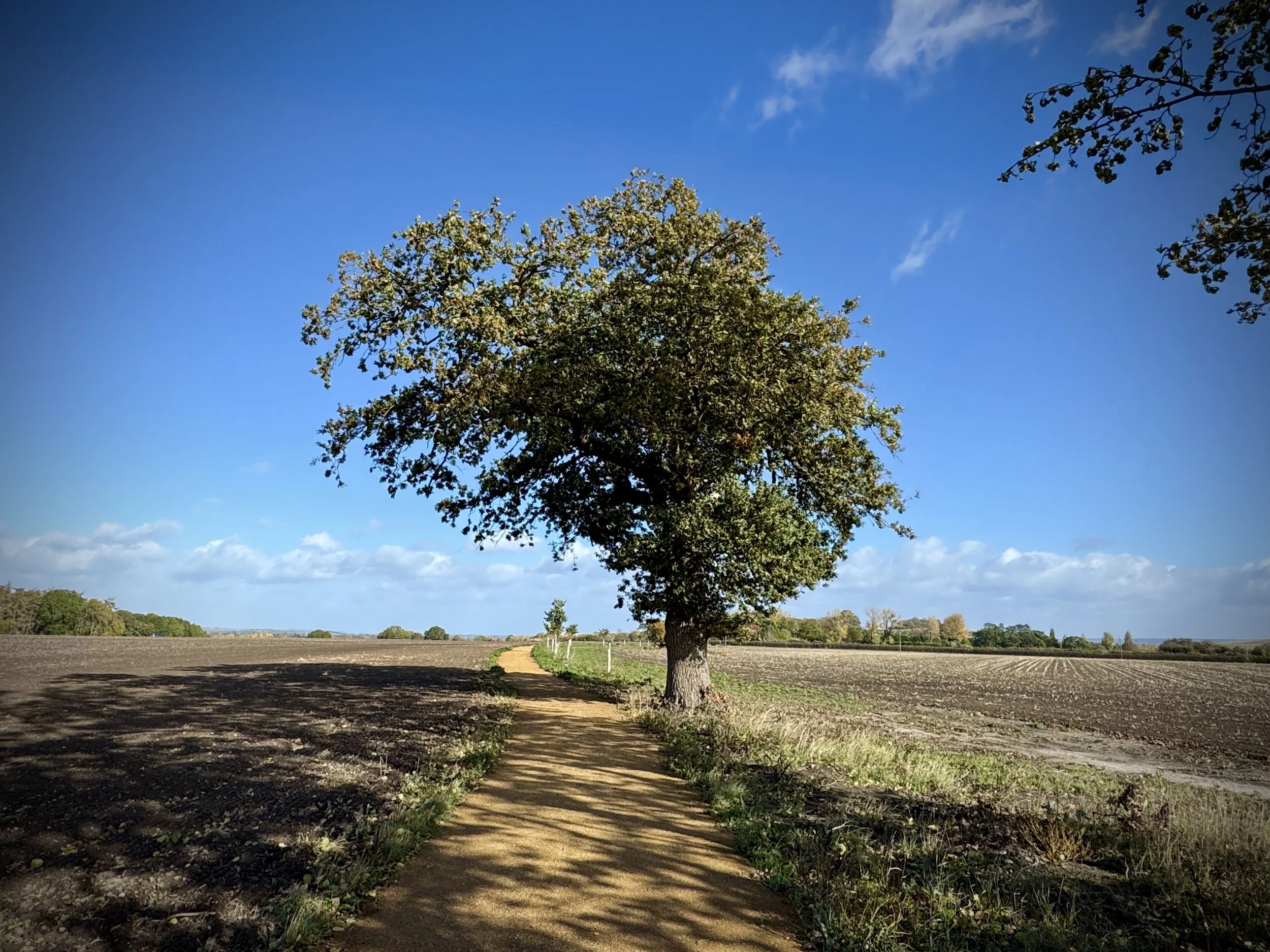
Upon reaching High Street, take a right onto National Cycle Route 5 heading through the fields.
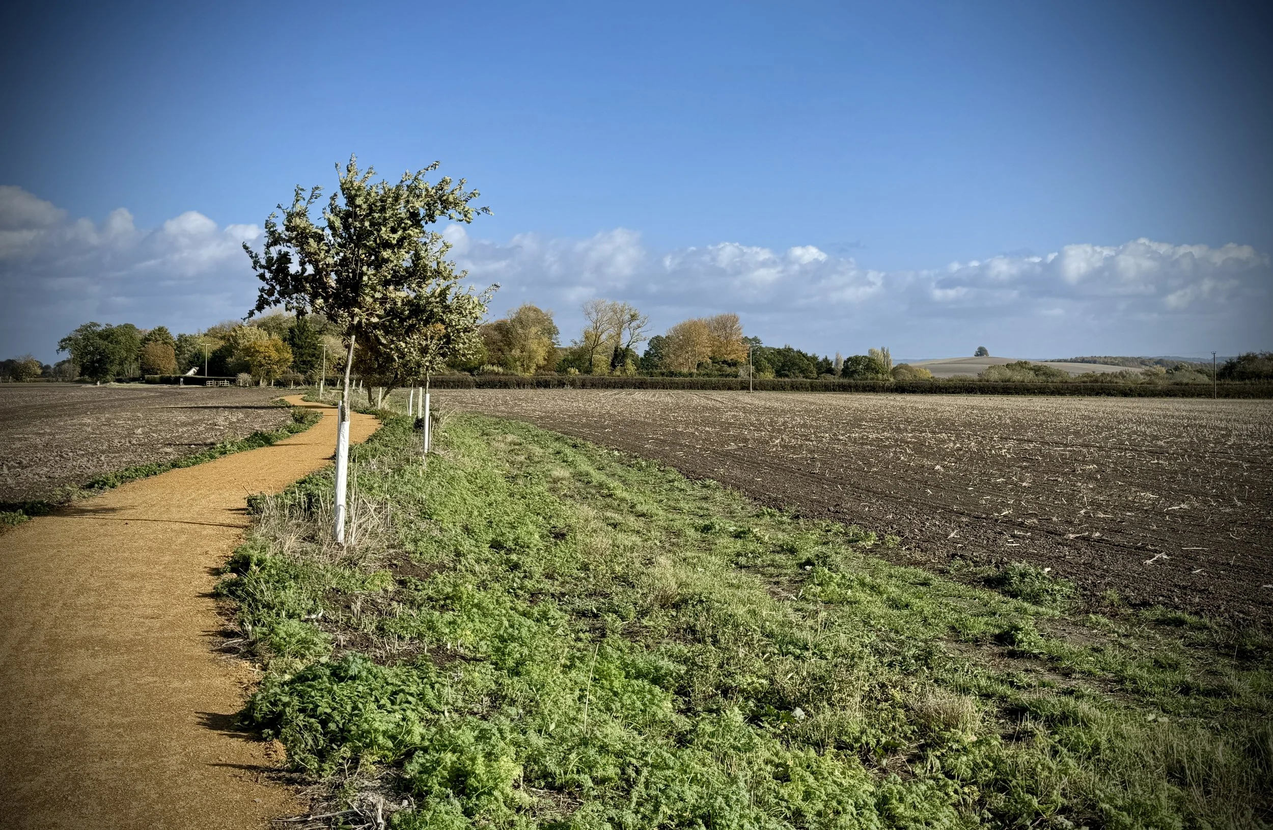
Take a left onto a footpath that follows the hedgeline and a stream across the fields in a southerly direction, curving around to the east.
Shortly after, take a right onto a footpath along a tree line in a southerly direction until reaching Sires Hill Road.
Turn left onto Sires Hill Road and follow it for approximately 10 metres, then carefully cross over to take a right onto a footpath ascending the hill in a south-south-easterly direction.
At the top of the hill, look to the left along the hedgeline to spot the Down Hill trig pillar peeping over the top of the hedges on the farm side of the track.
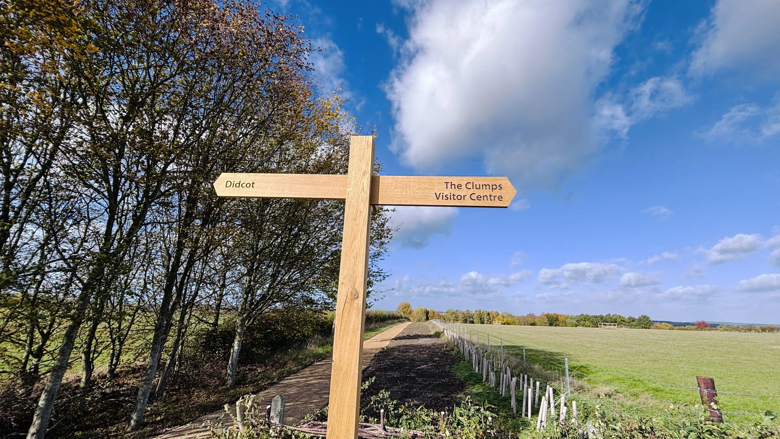
After the trig pillar, continue in a south-easterly direction until meeting a well-maintained path. Turn left onto this path and continue in an east-north-easterly direction all the way to the Earth Trust visitor centre.
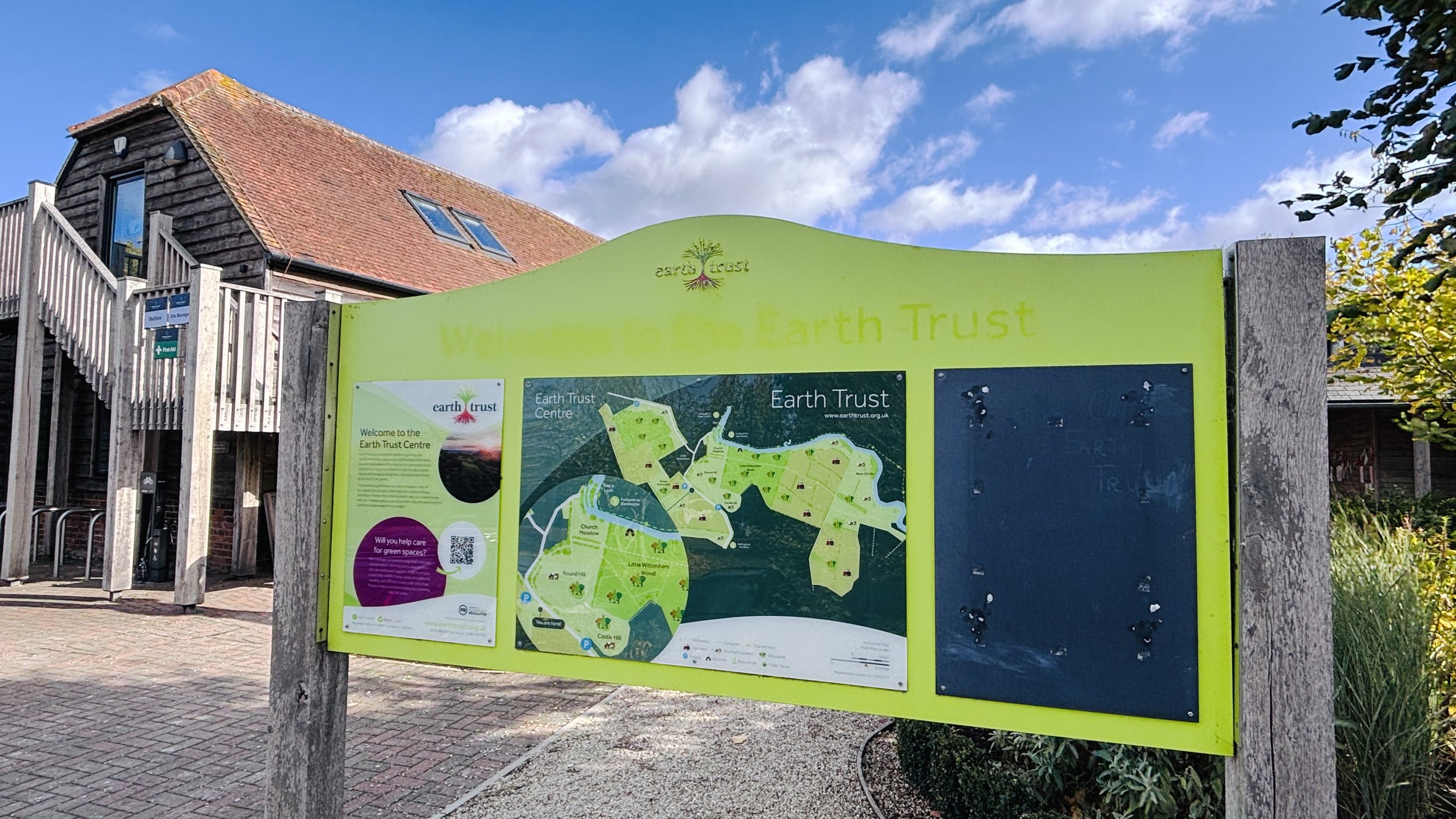
Optional stop at the visitor centre for a rest and a drink at the café, if open.
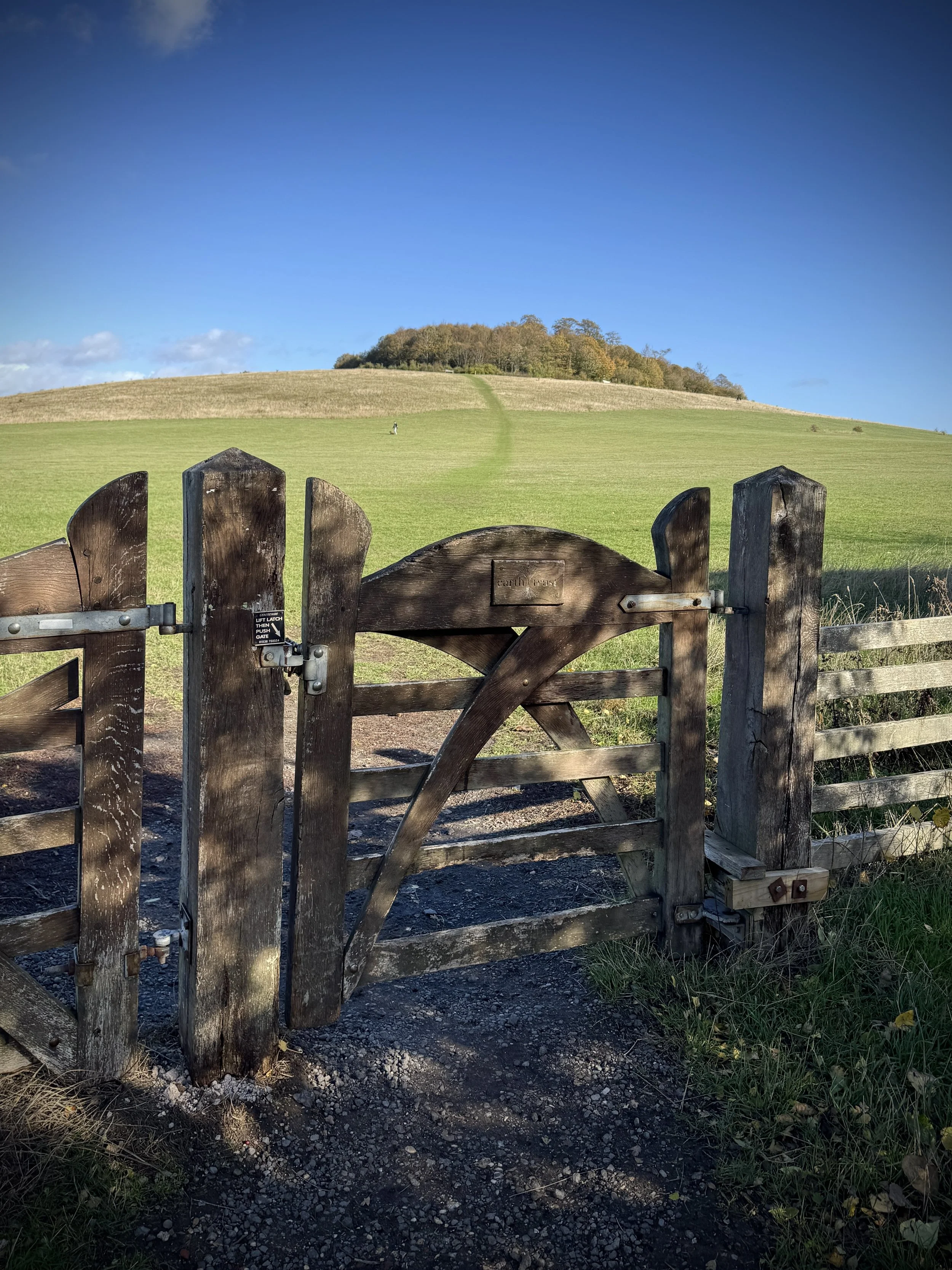
After the visitor centre, cross over the small lane and pass through the gates into the field to ascend Round Hill, one of the Wittenham Clumps.
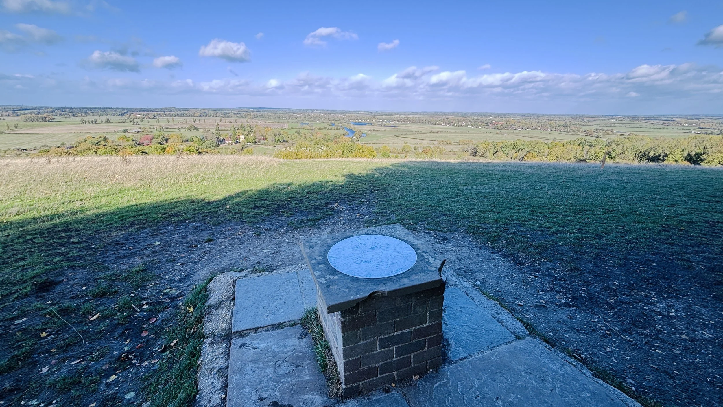
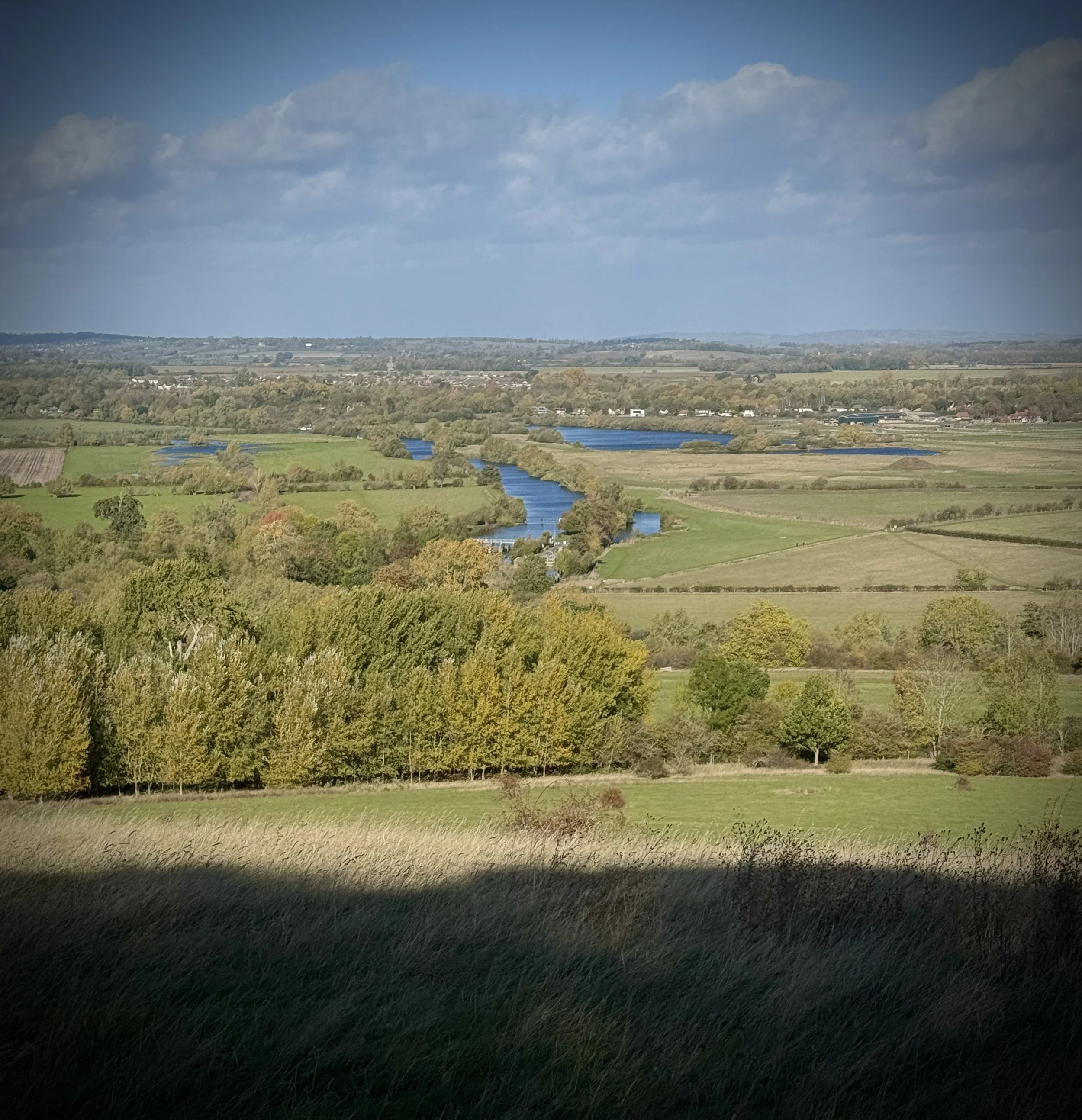
Take in the views of the surrounding countryside from the top of Round Hill, then walk around to the north-easterly edge of the hill (the 1 o'clock position on a map).
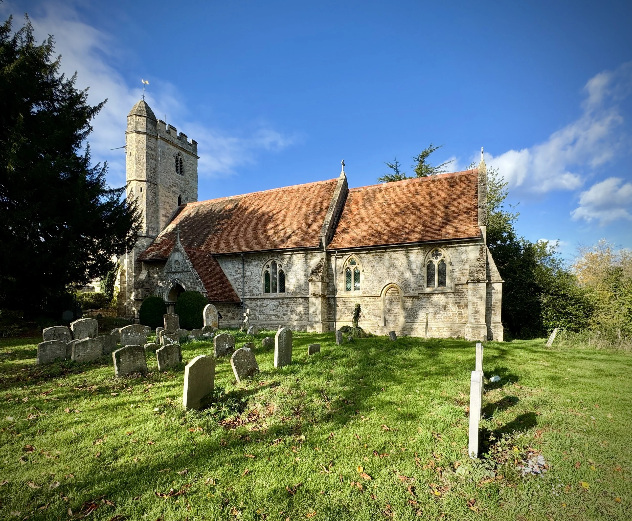
Take the path heading in a north-easterly direction down the hill towards the River Thames. At the bottom of the hill, pass through a gate and turn left to walk diagonally across the field in a north-westerly direction, arriving at the village of Little Wittenham by St Peter's Church (which is well worth a visit).
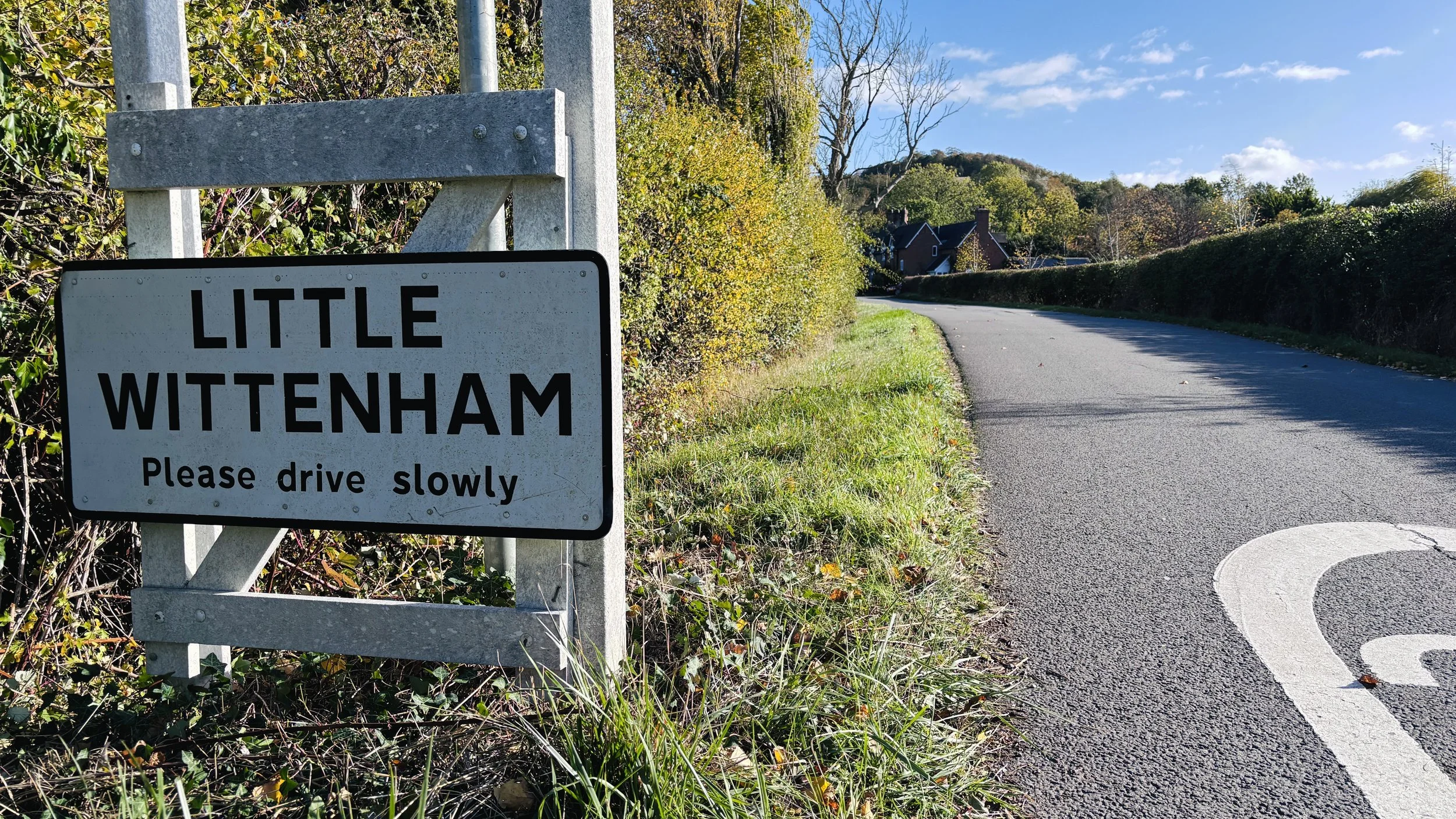
After visiting the church, turn left and follow the Little Wittenham village lane until reaching a junction with Little Wittenham Road. Turn right and follow Little Wittenham Road for 300 metres.
Take a footpath on the left, walking diagonally across a hill towards Paradise Wood.
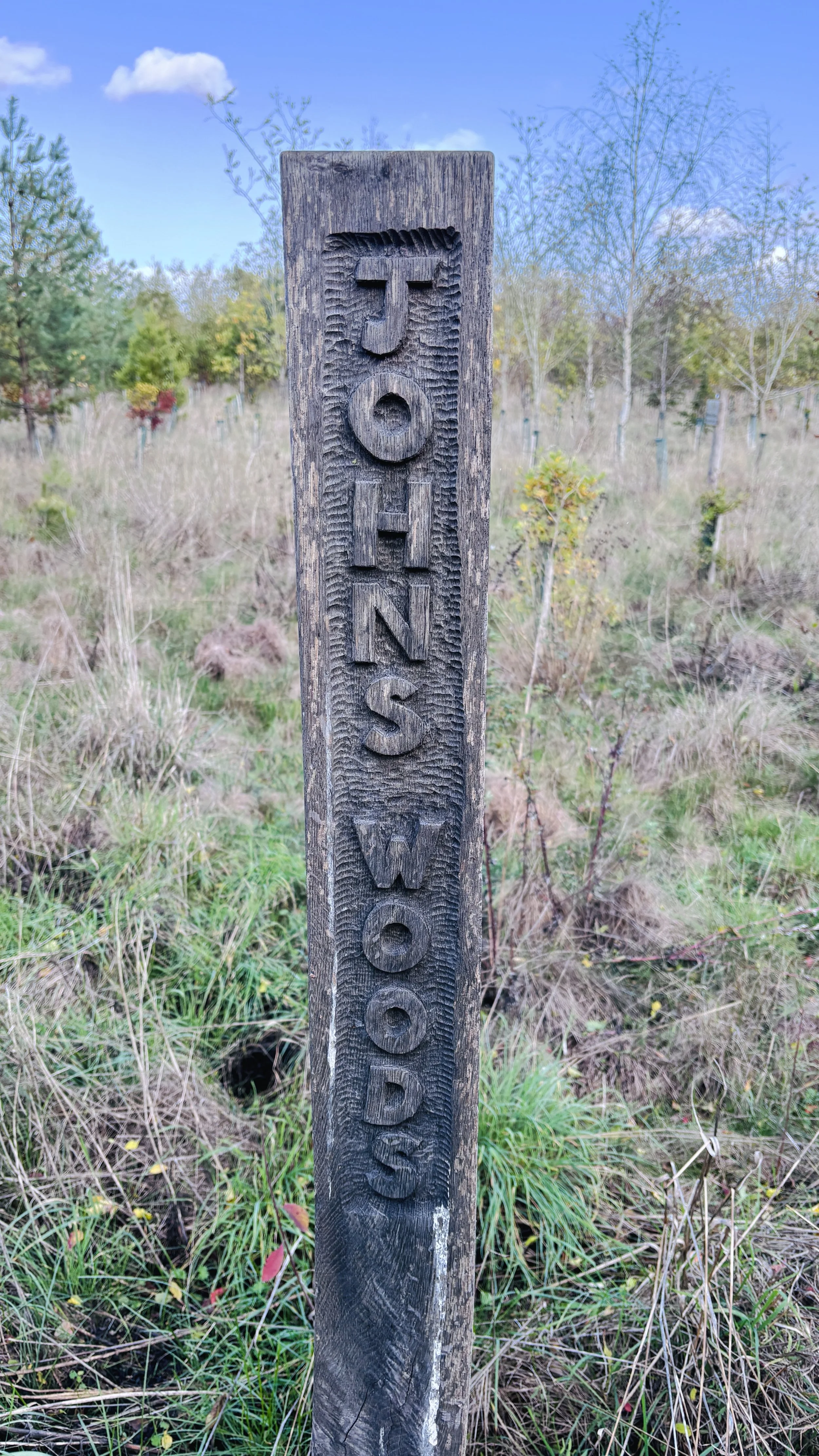
Upon reaching Paradise Wood, turn right and follow the outskirts of the wood as it curves around towards the north-west. Pass through a gate and turn left to follow a path winding through Neptune Wood, eventually emerging at John's Woods, a new plantation.
Follow the path in a north-westerly direction up to High Street in Long Wittenham, turn left, and follow High Street all the way back to the starting point.
Points of Interest along or near to the Route
Long Wittenham: A charming South Oxfordshire village with a rich history stretching back to the Anglo-Saxon period and beyond. Set beside the River Thames, it is known for its historic timber-framed and thatched cottages, including the celebrated 13th-century Cruck Cottage, making it an idyllic starting point for walkers.
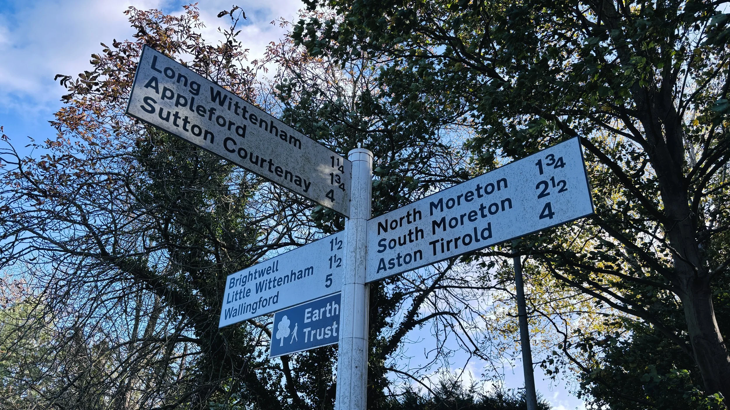
Little Wittenham and the Earth Trust: Nestled beneath the Sinodun Hills, this small village is closely connected to the surrounding landscape and the River Thames. It is home to Earth Trust, the environmental charity that cares for Wittenham Clumps and extensive areas of woodland, farmland and wildlife habitat across the area.
Wittenham Clumps: Formed by Round Hill and Castle Hill, these iconic wooded hills are visible for miles across the Thames Valley. Castle Hill is crowned by an Iron Age hillfort, while both summits offer outstanding panoramic views over the Thames, the surrounding countryside and some of Oxfordshire’s most historically rich landscapes.