Walking The Oxfordshire Way Part 7: Adwell and Stoke Talmage
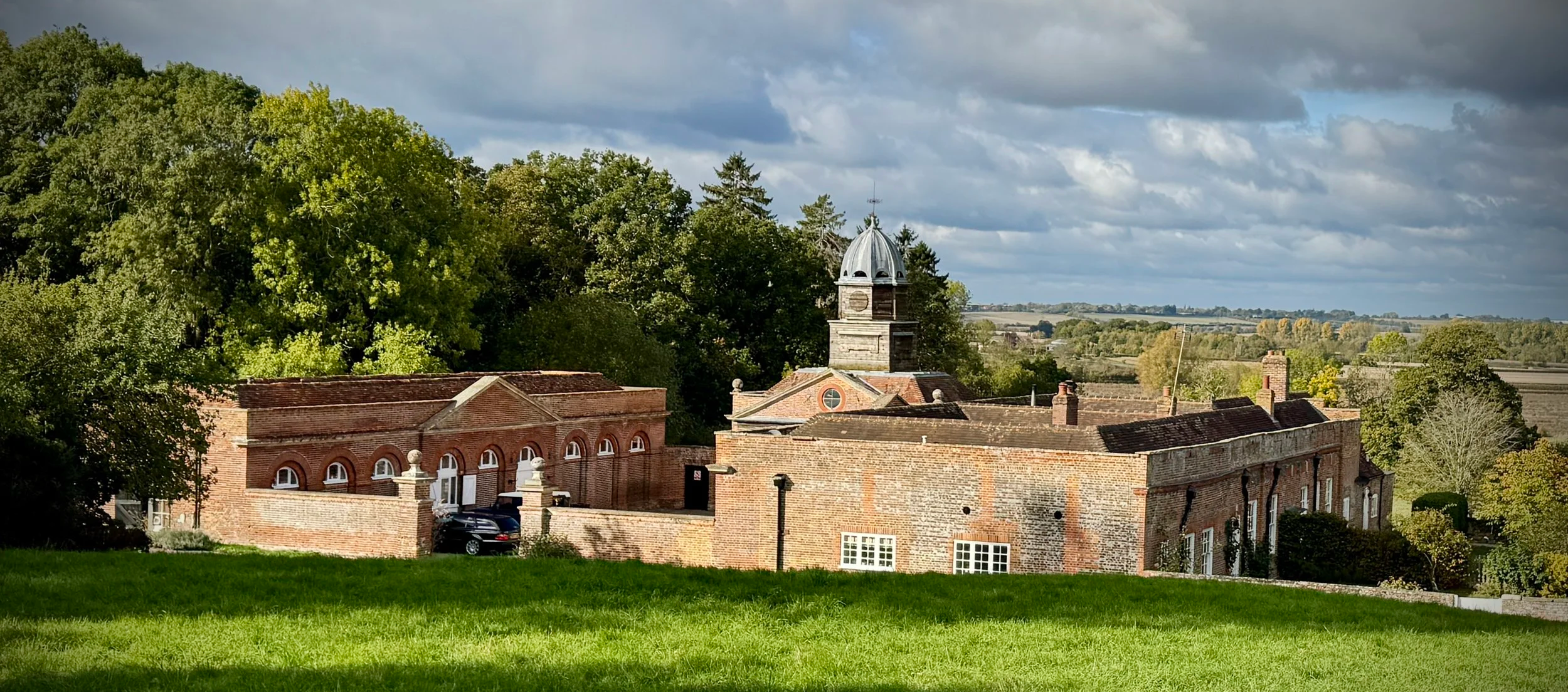
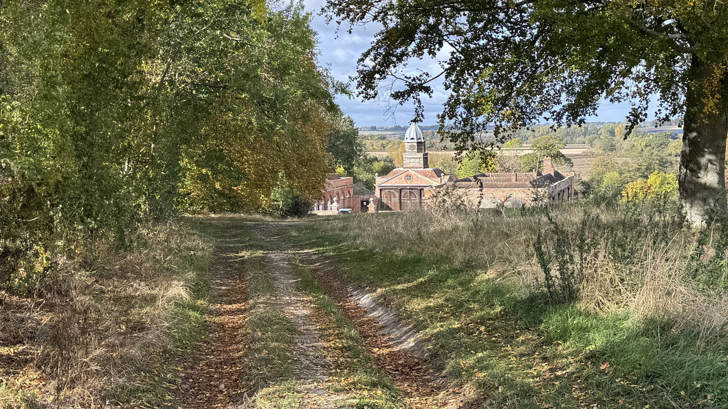
Surviving buildings from Wheatfield Manor
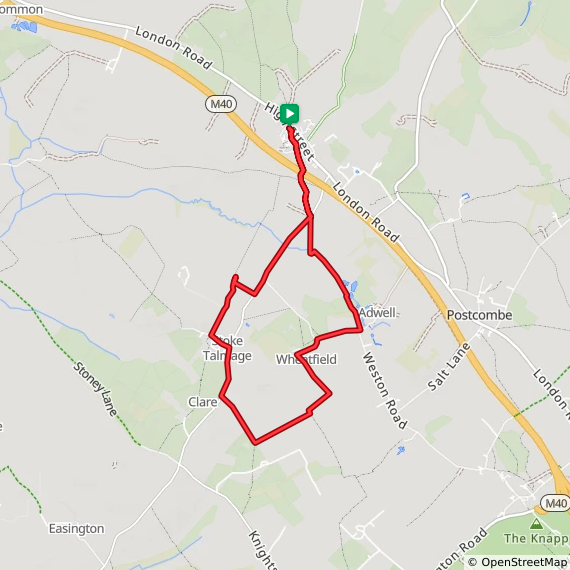
Start & Finish: Parking spaces on the A40 High Street at Tetsworth just south of the Old Red Lion pub
Distance: 10.3 km (6.4 miles)
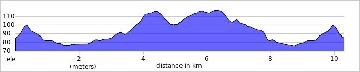
Elevation change: +/- 97m
Oxfordshire Way Section Covered: Path junction near Wheatfield to A40, Tetsworth: 4.6 km
GPX File: get via Buy Me a Coffee
Other routes touched (walk): The Oxfordshire Way
Other routes touched (cycle): None
Pubs / Cafes on route: The Old Red Lion, Tetsworth at the start and finish
Map: OS Explorer Map (171) Chiltern Hills West, Henley-on-Thames and Wallingford
Links: Adwell, Wheatfield, Oxfordshire, Stoke Talmage, South Weston, Tetsworth
Welcome to Part 7 of our series of short circular walks along the Oxfordshire section of the Oxfordshire Way. This is a 66 mile long-distance path connecting Bourton-on-the-Water in the Cotswolds with Henley-on-Thames. For a complete overview of the trail's history, and the end-to-end route, please read my complete Oxfordshire Way Guide.
Walking Directions
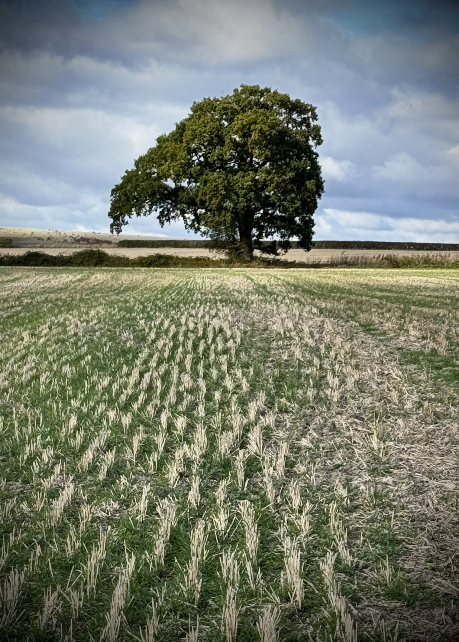
This seventh instalment of the Oxfordshire Way series explores a tranquil pocket of South Oxfordshire between the historic London to Oxford coaching road (the A40) and the quiet parishes of Adwell, Wheatfield, and Stoke Talmage. As you traverse open pasture and arable fields, the views open up towards the wooded escarpment of the Chiltern Hills to the south and the distinctive mound of Adwell Cop to the east.
What makes this circular walk particularly engaging is the sheer sense of rural solitude across parishes where populations have remained remarkably small for centuries. After following the Oxfordshire Way southwards to connect with the northernmost point of Part 6, the return leg loops eastwards through the tiny village of Stoke Talmage and past ancient farmsteads towards Adwell. The combination of quiet country lanes, historic churchyards, and gentle rises makes for a thoroughly rewarding countryside outing.
The guidance below will help you navigate but don’t use it as a fully accurate turn-by-turn guide. Always take a map and/or a GPX route and prepare well for the weather and terrain.
Start in the village of Tetsworth, where there is free on-street parking just south of the Red Lion pub on the A40 High Street.
Walk south down Back Street, following the Oxfordshire Way in a southerly direction.
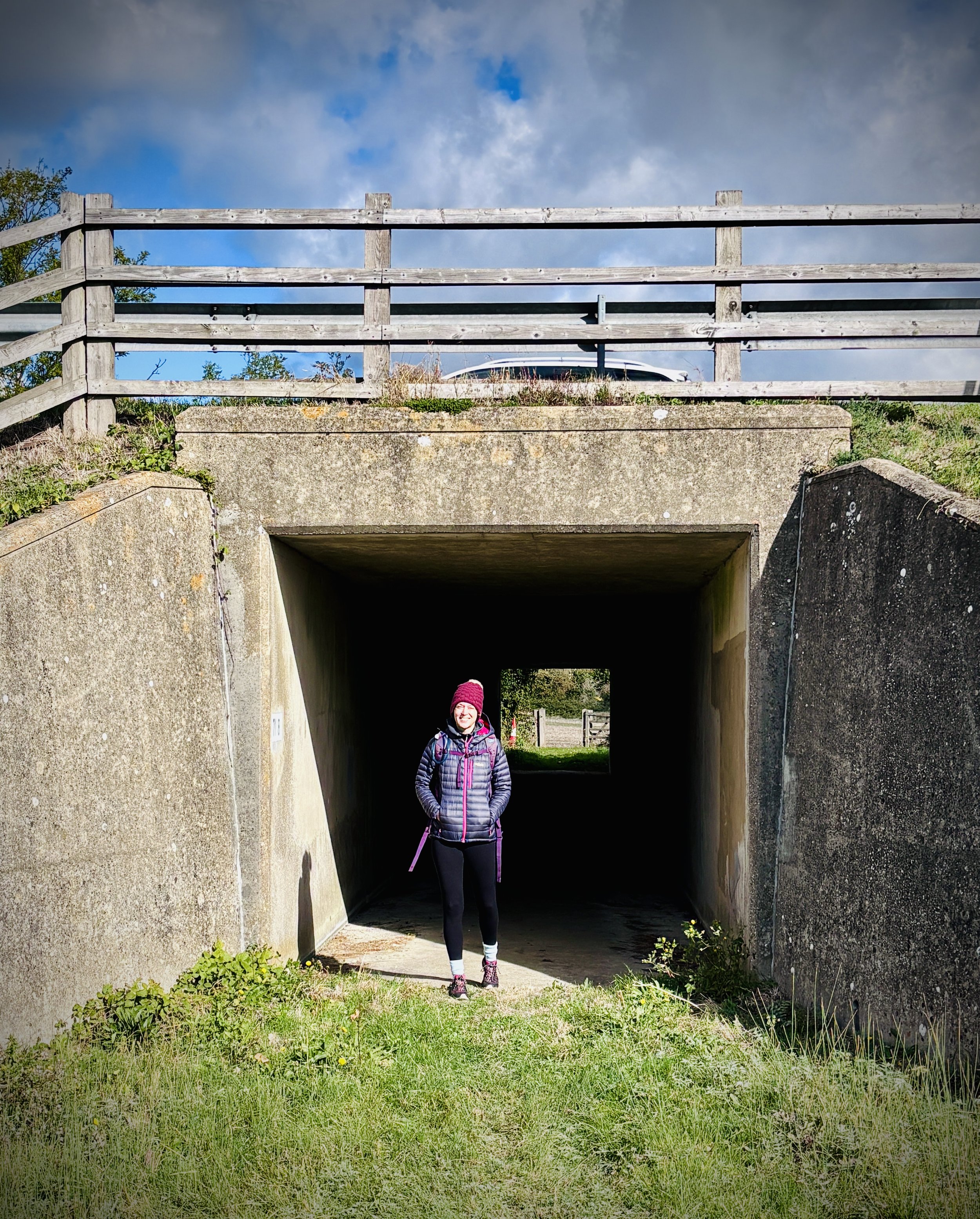
Continue onto Parkers Hill, leading into farmland before passing under the M40 in a tunnel.
Upon reaching the unnamed road, turn right and follow the track in a south-westerly direction, crossing over Hazeley Brook.
Approximately 2.3 kilometers into the walk, turn right onto a footpath leading into fields, then left to continue south-west.
Join a farm track that meets another road, take a left, and then turn right onto the main road through Stoke Talmage, following it south.
Before reaching the village of Clare, turn left to cross a field in a south-easterly direction.
At about 5 kilometers, turn left onto a farm track across the field to the edge of the field where you previously left the Oxfordshire Way.
Take an immediate right to follow the Oxfordshire Way north-easterly, then turn left at the end of the next field.
Walk north-westerly towards Wheatfield to the remaining buildings of the old manor house.
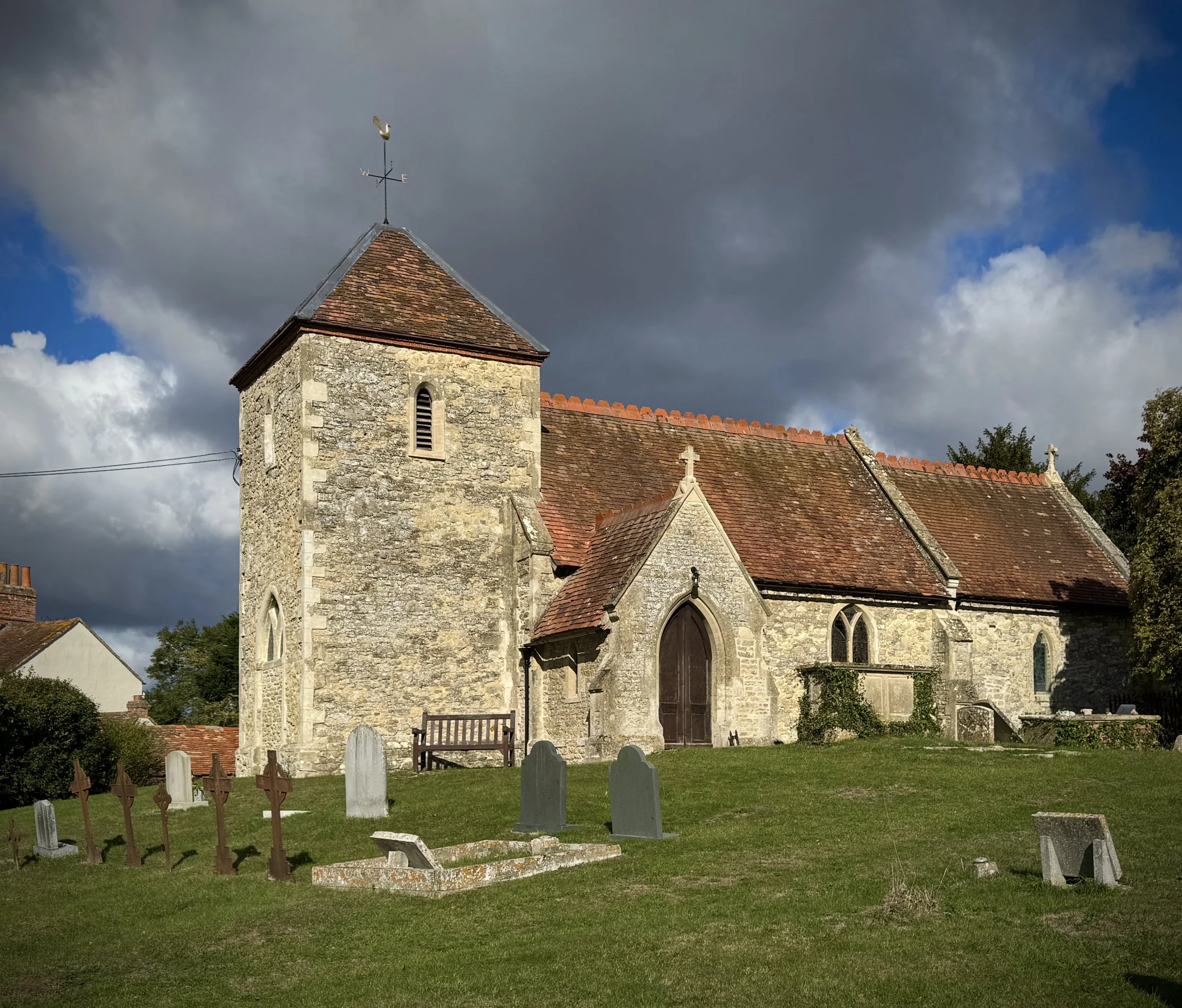
Turn right to continue on the Oxfordshire Way, passing the old church, and continue until reaching the outskirts of Adwell.
Take a left to follow the Oxfordshire Way, following the Hazeley Streams on your right.
Continue walking north-westerly until reaching the farm where you were previously following the Oxfordshire Way in a southerly direction at the start of this walk.
From here, retrace your steps north under the M40 back to the village of Tetsworth.
Points of Interest along or near to the Route
Adwell and Adwell Cop: Located just east of the return leg, Adwell is an ancient estate village recorded in the Domesday Book of 1086. Half a mile southeast of the village rises Adwell Cop, a hill crowned with a Bronze Age burial mound that was historically linked to local fairy folklore and once mistakenly attributed by early antiquarians to 11th-century Danish encampments. The village church of St Mary was rebuilt in 1865 by Arthur Blomfield, though it retains a 12th-century transitional Norman doorway and an effigy of a knight dating from around 1300. An OS Trig Pillar can be found at Adwell Cop.
Wheatfield and St Andrew's Church: Wheatfield is a classic example of a deserted medieval village. While its Tudor and Stuart manor house, Wheatfield Park, was destroyed by fire in 1814, the Grade II* listed coach house, stables, and farmhouse survived, alongside the isolated Grade I listed Church of St Andrew. The church dates from the 14th century and was extensively remodelled in the early 18th century, preserving rare Georgian box pews and a Venetian east window.
Stoke Talmage and St Mary Magdalene Church: Stoke Talmage is a tiny rural parish whose boundaries have remained largely unchanged since the medieval period. The parish church of St Mary Magdalene has 12th-century origins and was rebuilt in 1758 before undergoing restoration in 1860. Note on conflicting sources: while Wikipedia and the Gilbert Scott architectural archive record the 1860 restoration as the work of Sir George Gilbert Scott, a local Chiltern Society walking guide attributes the 1860 work to his grandson, Giles Gilbert Scott (who was born in 1880, making Sir George Gilbert Scott the chronologically factual architect).
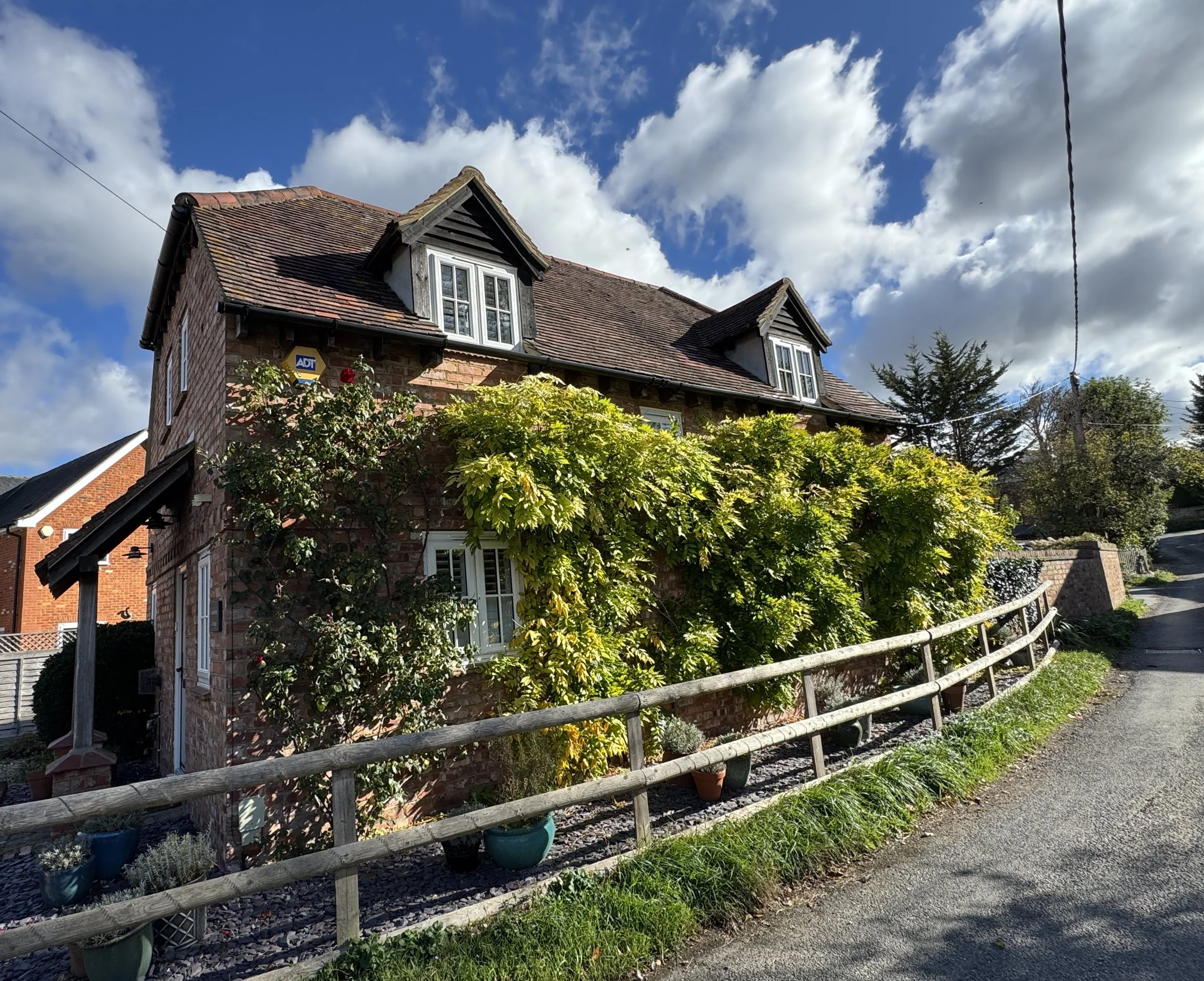
Red Lion Farmhouse: Situated near the junction as you approach Stoke Talmage, this 18th-century building formerly operated as The Red Lion public house. In 1923, it was purchased by Thomas Haynes and run alongside a smallholding before continuing as a country pub for decades; it permanently closed in 2007 and was converted into a private dwelling.

Oxfordshire Way next section (north): Tetsworth and Oxfordshire Golf Club (coming soon)
Oxfordshire Way next section (south): Pyrton and Clare