Walking The Oxfordshire Way Part 6: Pyrton and Clare
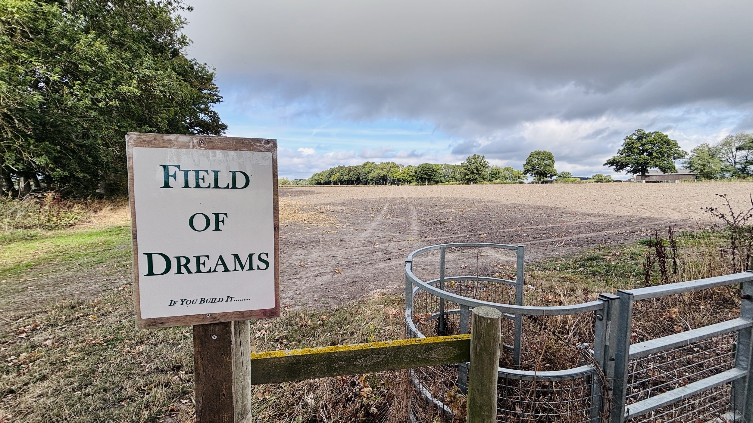
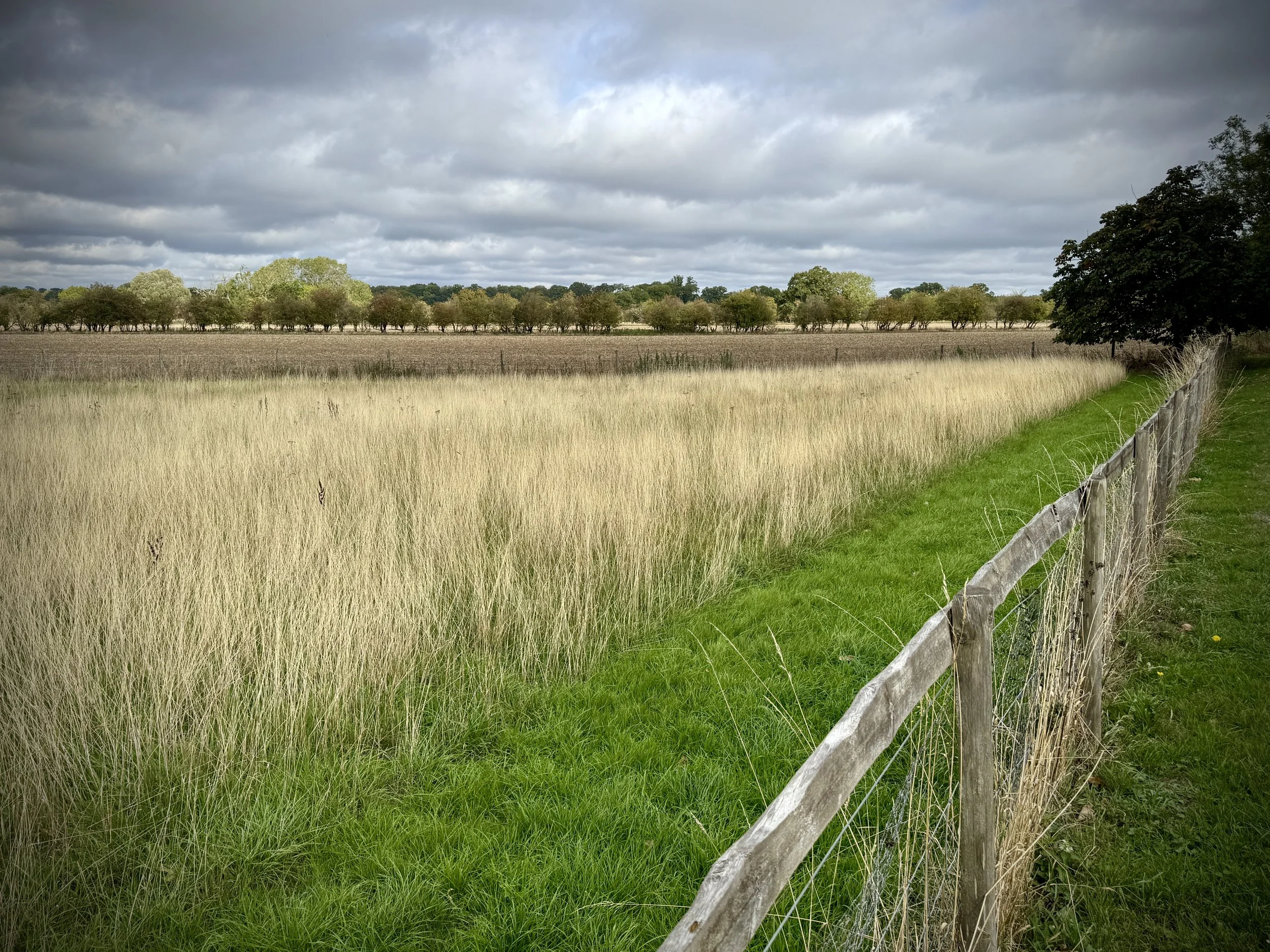
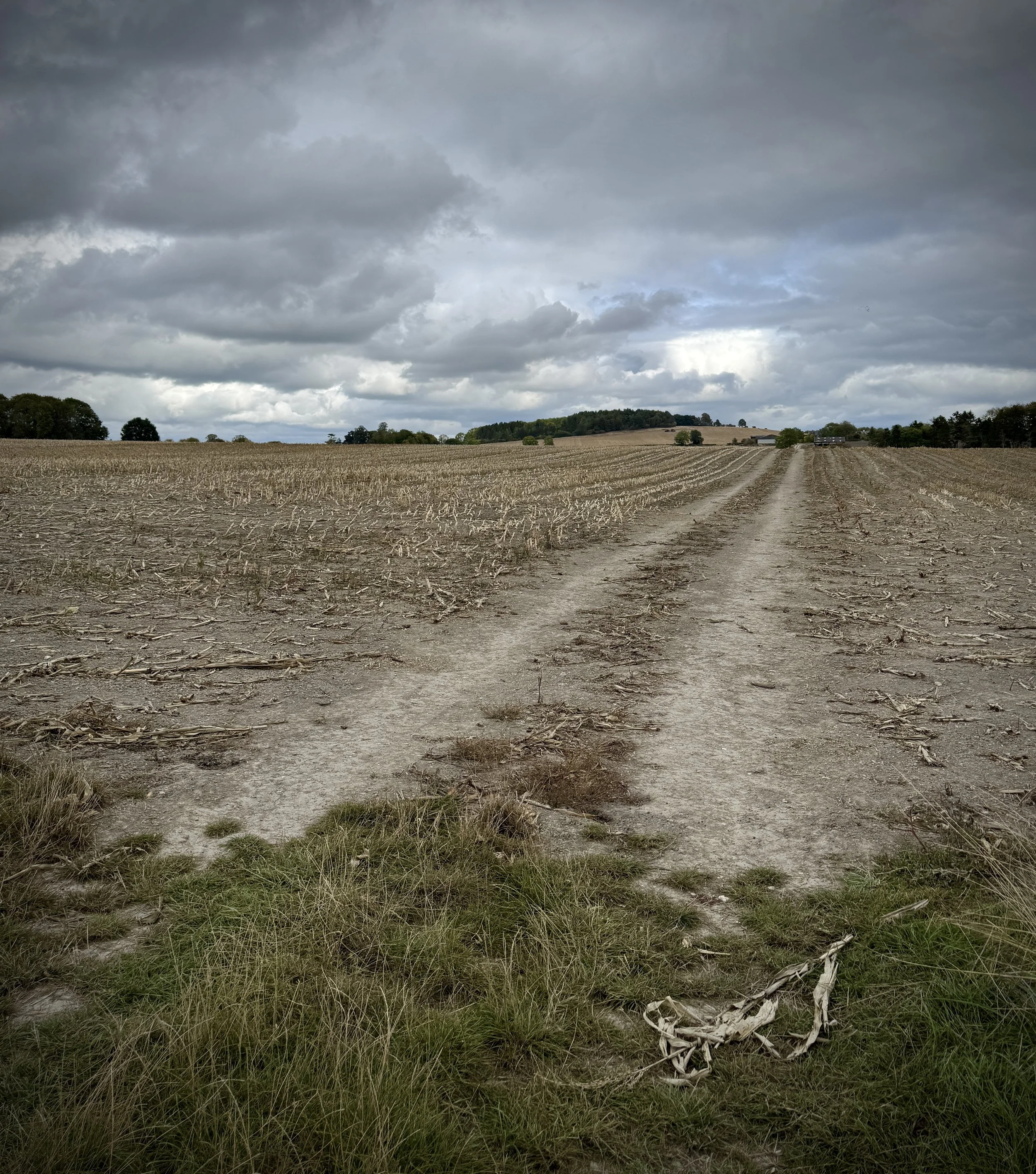
Field of Dreams, near Pyrton
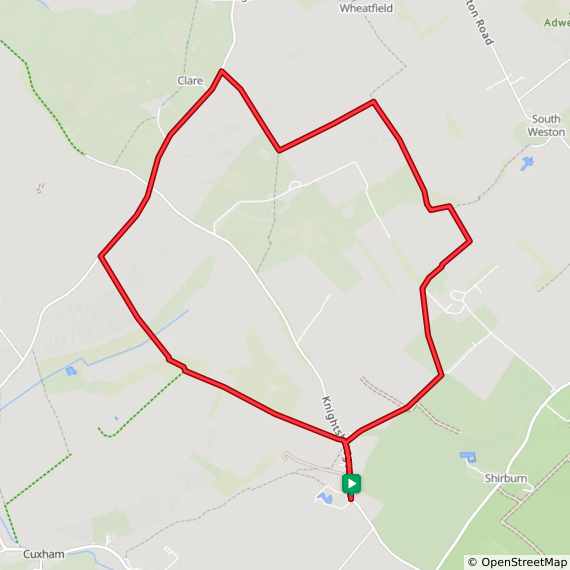
Start & Finish: Parking space at junction of Church Lane and Knightsbridge Lane, Pyrton,
Distance: 9.2 km (5.7 miles)
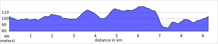
Elevation change: +/- 71m
Oxfordshire Way Section Covered: Church Lane, Pyrton to path junction near Wheatfield: 3.6 km
GPX File: get via Buy Me a Coffee
Other routes touched (walk): The Oxfordshire Way
Other routes touched (cycle): None
Pubs / Cafes on route: None
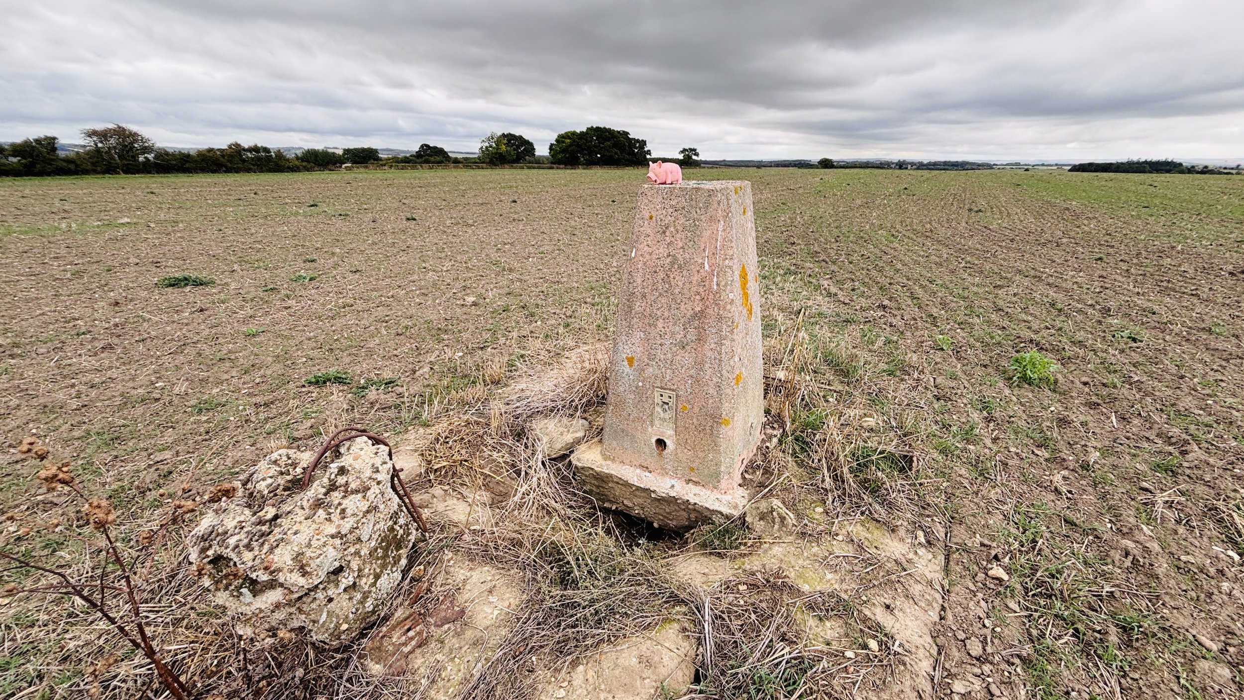
OS Trig Pillar: TP2197 - Clare Hill
Map: OS Explorer Map (171) Chiltern Hills West, Henley-on-Thames and Wallingford
Links: Pyrton, Clare, Oxfordshire
Welcome to Part 6 of our series of short circular walks along the Oxfordshire section of the Oxfordshire Way. For a complete overview of the trail's history, its connection to the Warden's Way, and preparation tips, please read my complete Oxfordshire Way Guide.
Walking Directions
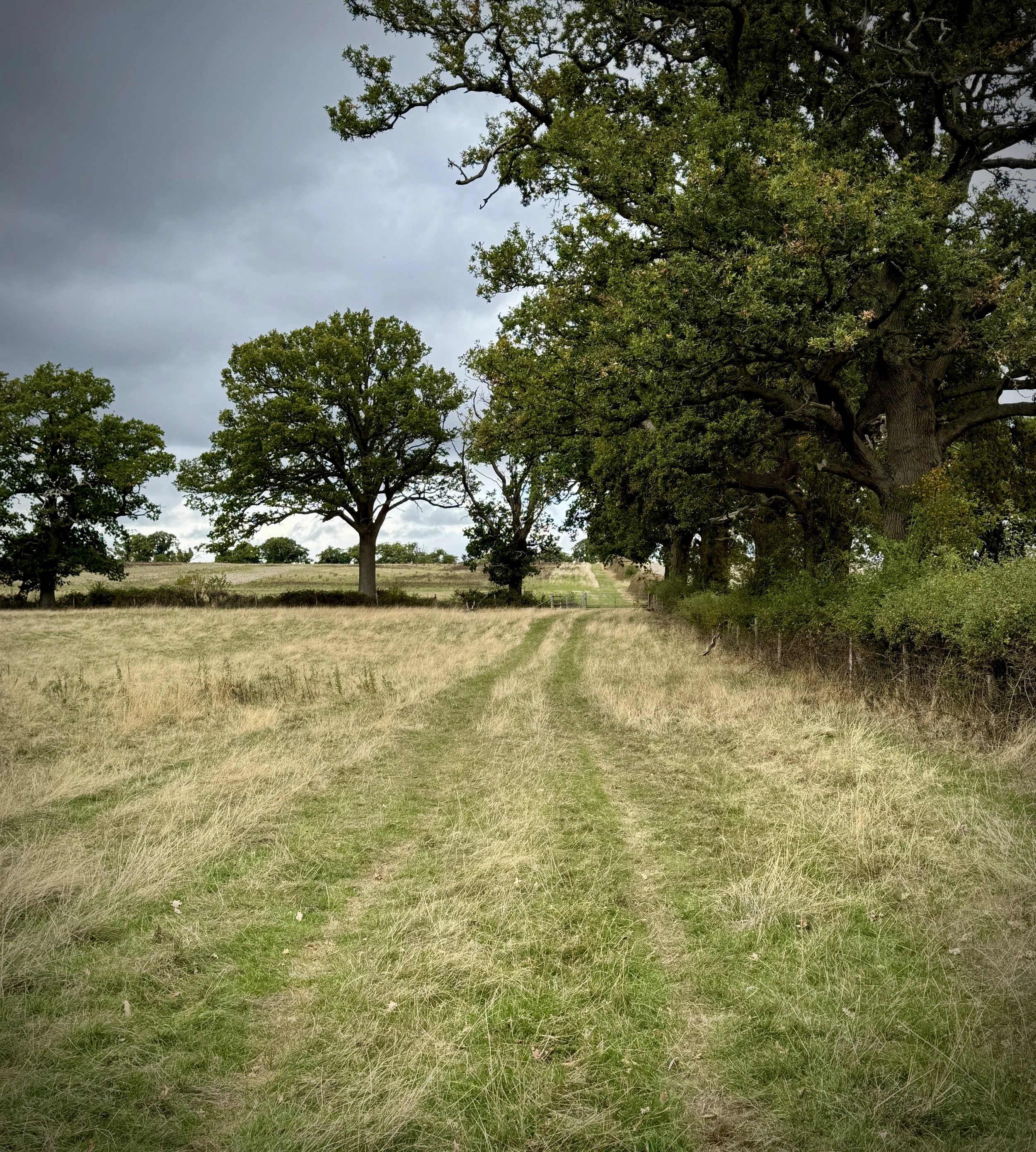
This circular route from Pyrton is a brilliant way to explore the South Oxfordshire countryside, offering a fantastic option for a relaxed weekend stroll or a great way to keep your legs moving after a Saturday morning parkrun. The path makes use of the established Oxfordshire Way, taking you out through sweeping agricultural land and quiet rural tracks towards the hamlet of Clare.
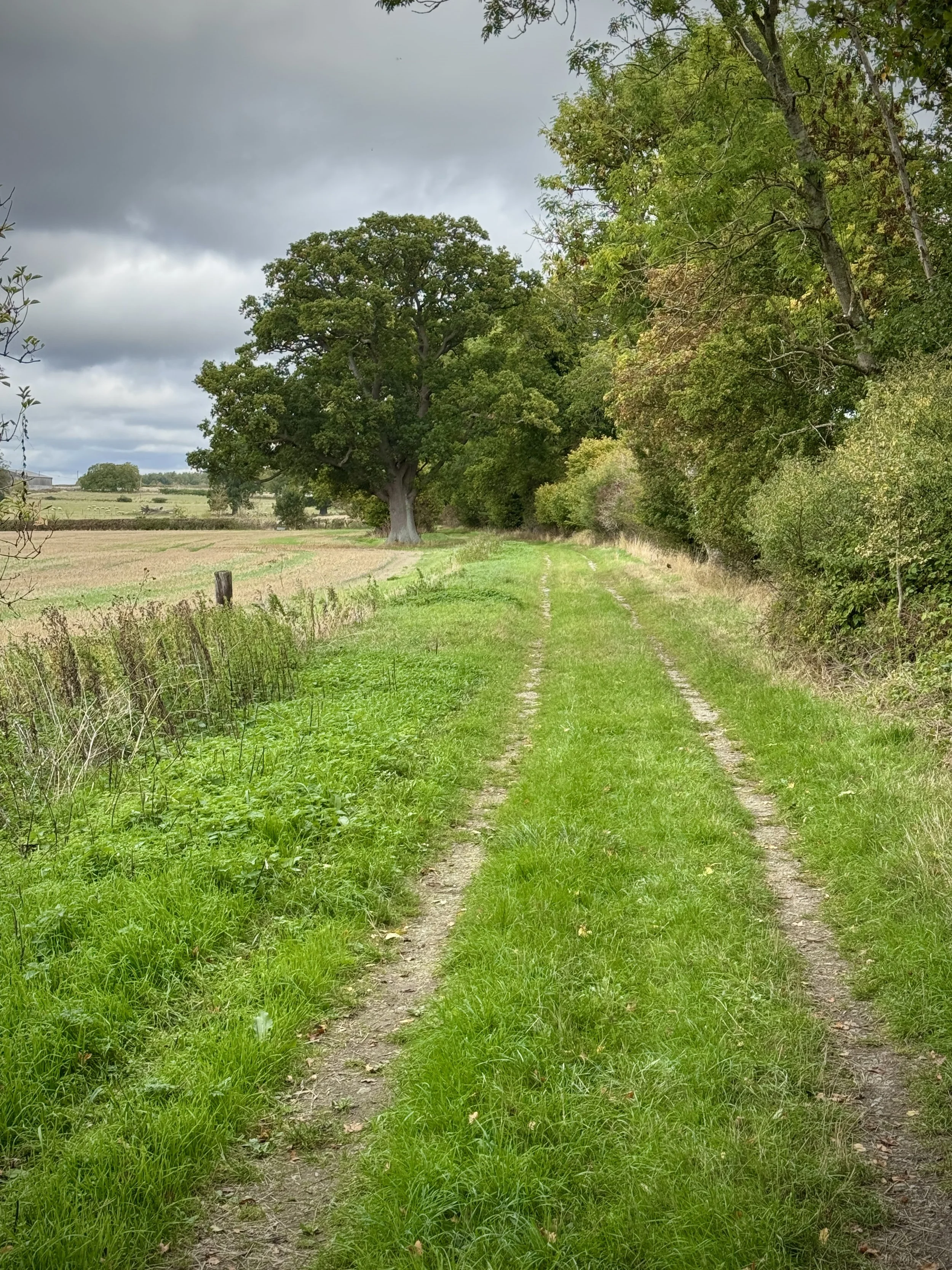
The terrain is straightforward to navigate, featuring well-marked field boundaries and mostly flat ground for the initial stretches. As you approach Clare Hill, you will encounter a steady but gentle incline up to the trig point, which rewards you with excellent views over the landscape before a pleasant, gradual descent back down into the village.
The guidance below will help you navigate but don’t use it as a fully accurate turn-by-turn guide. Always take a map and/or a GPX route and prepare well for the weather and terrain.
Park at the junction of Knightsbridge Lane and Church Lane, just south of Pyrton Village Hall.
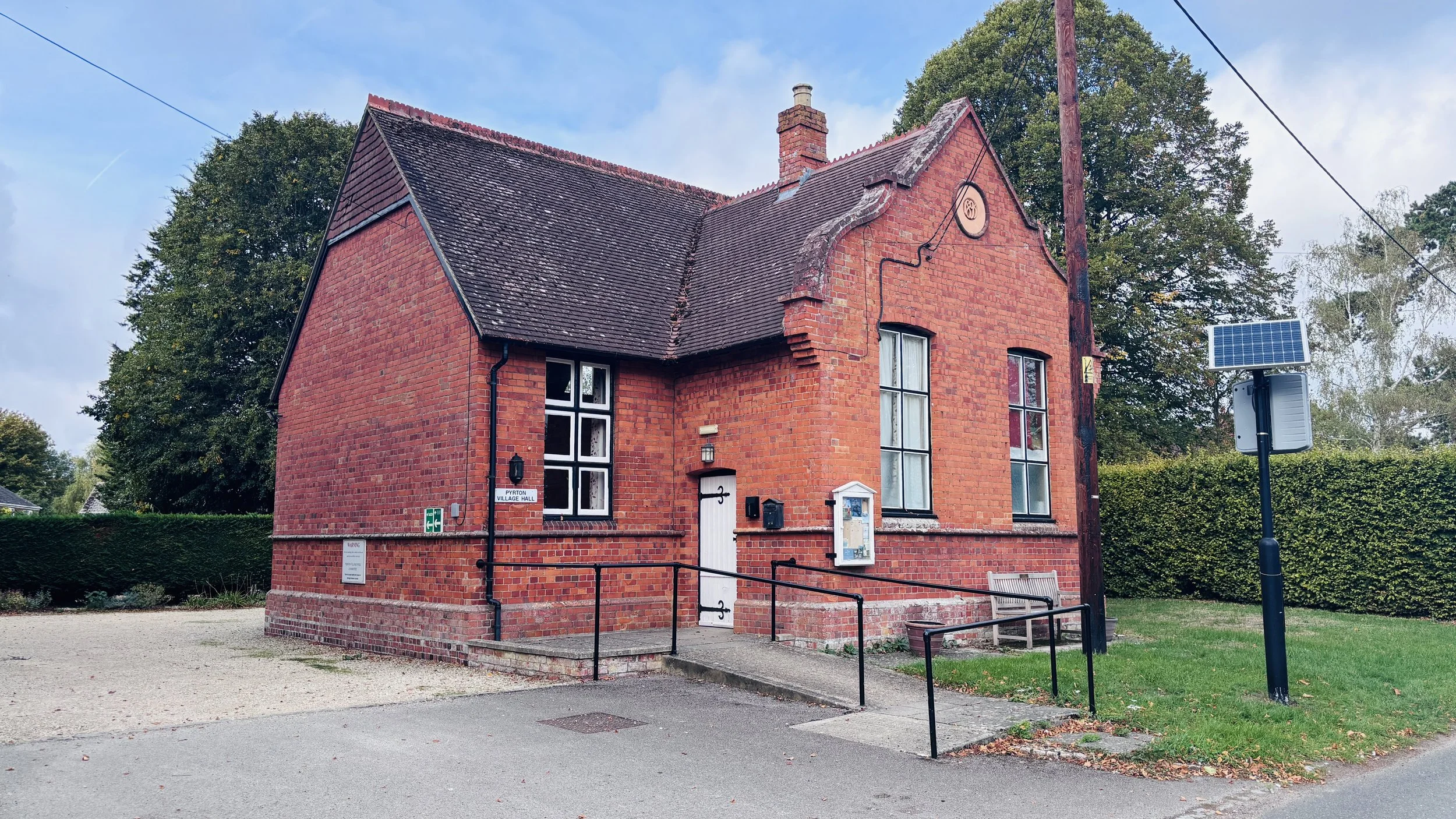
Walk north up Knightsbridge Lane, passing Pyrton Village Hall.
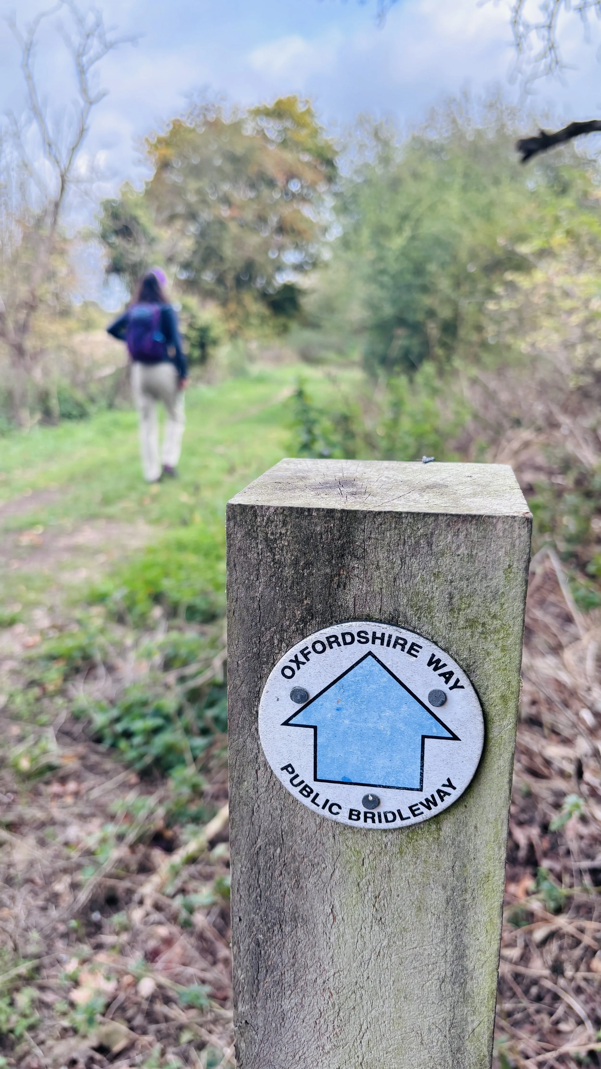
0.4 km: At the path junction by a farm entrance, turn right to follow the signs for the Oxfordshire Way. Continue northeast along the track past the farm.
1.2 km: Turn left through a gate to stay on the Oxfordshire Way, now walking in a northerly direction.
2.0 km: The route curves northeast and then northwest. Keep following the Oxfordshire Way.
3.6 km: Following a field edge with a hedge on your right, you will reach a path junction. Take a sharp left across the field and follow the path for 700 metres.
4.3 km: Take a sharp right and follow the path along the field to the edge bordering the small road connecting Stoke Talmage with Clare and Islip.
Head southwest: keeping to the field edge is a safer option than walking on the quiet road. Continue until you cross over the junction of Stoney Lane and Knightsbridge Lane.
Optional detour: Just after this road junction, you can cut into the field through the hedge to bag the Clare Hill trig pillar.
Continue southwest, then take a footpath on your left to head southeast across a field.
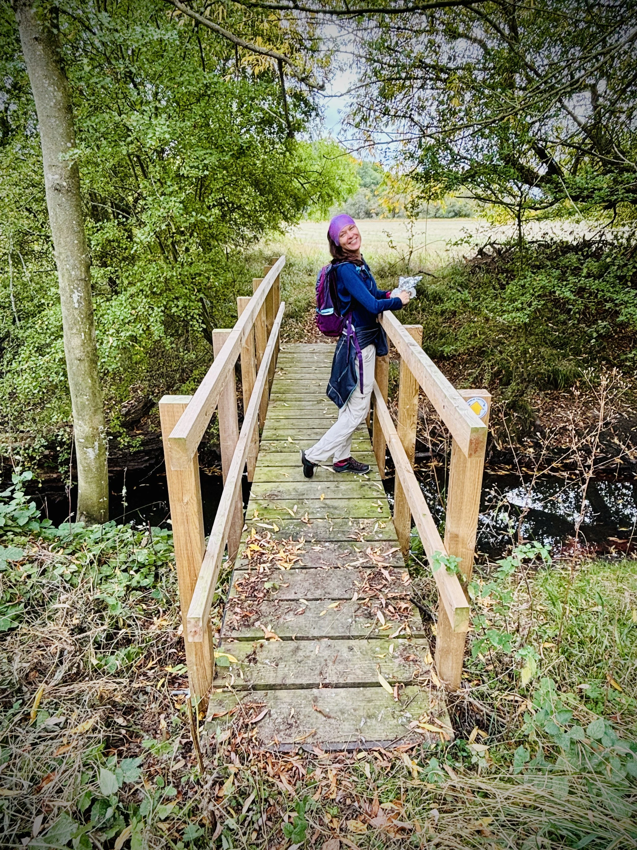
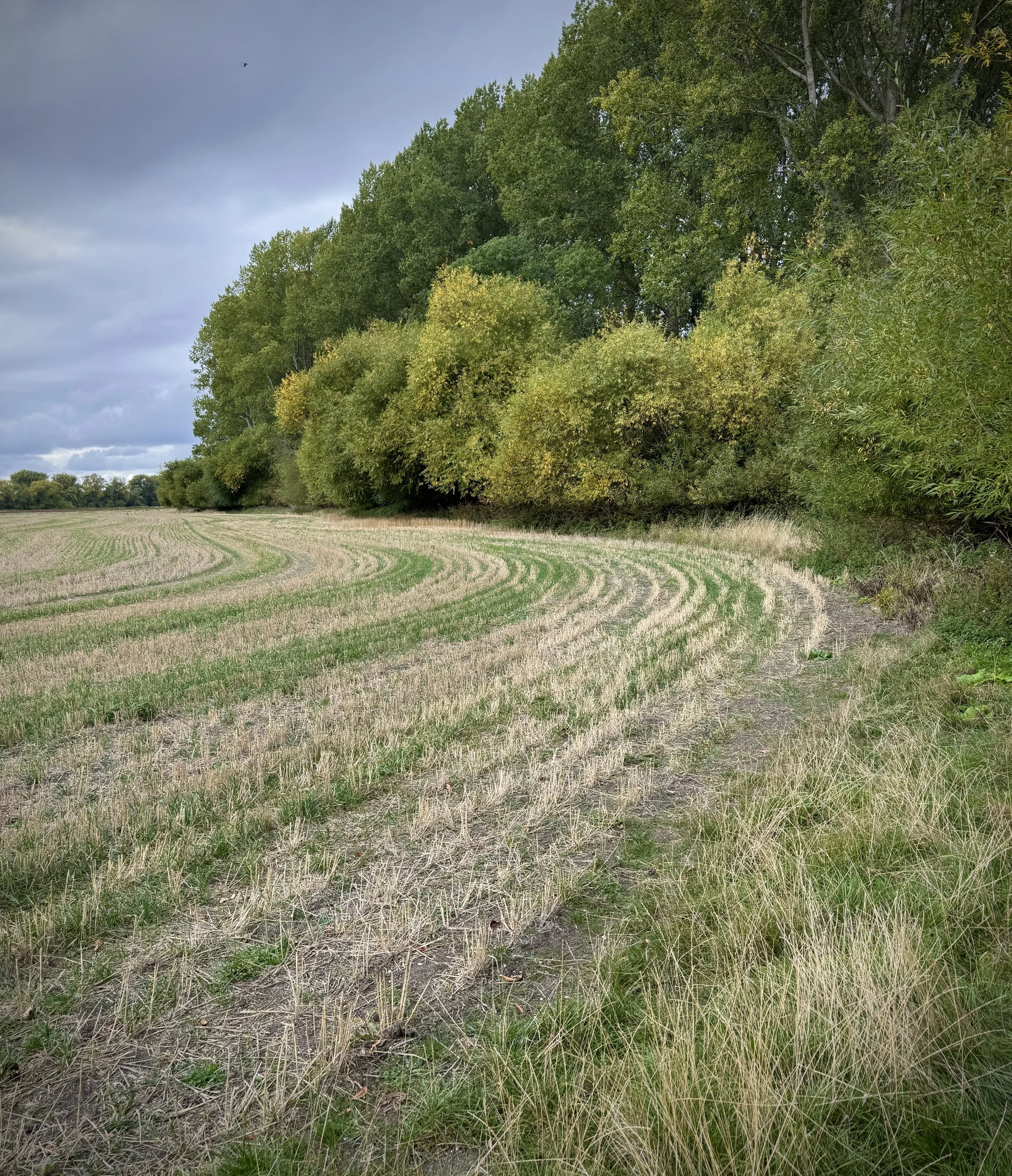
Cross a small stream as you walk through the woods at Diamond Plantation. The path will then curve southwest to reconnect with Knightsbridge Lane in Pyrton.
Turn right onto Knightsbridge Lane for the final 400 metres back to your starting point.
Section 3: Points of Interest
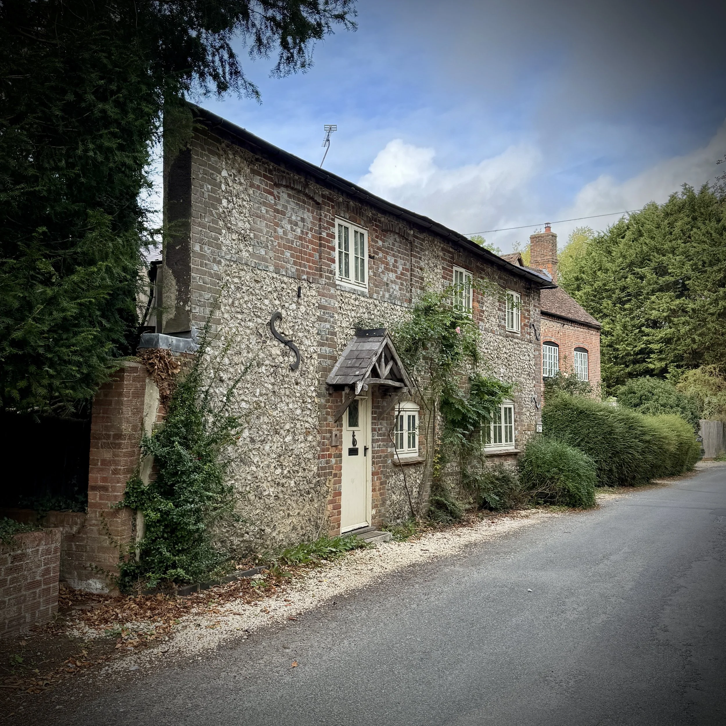
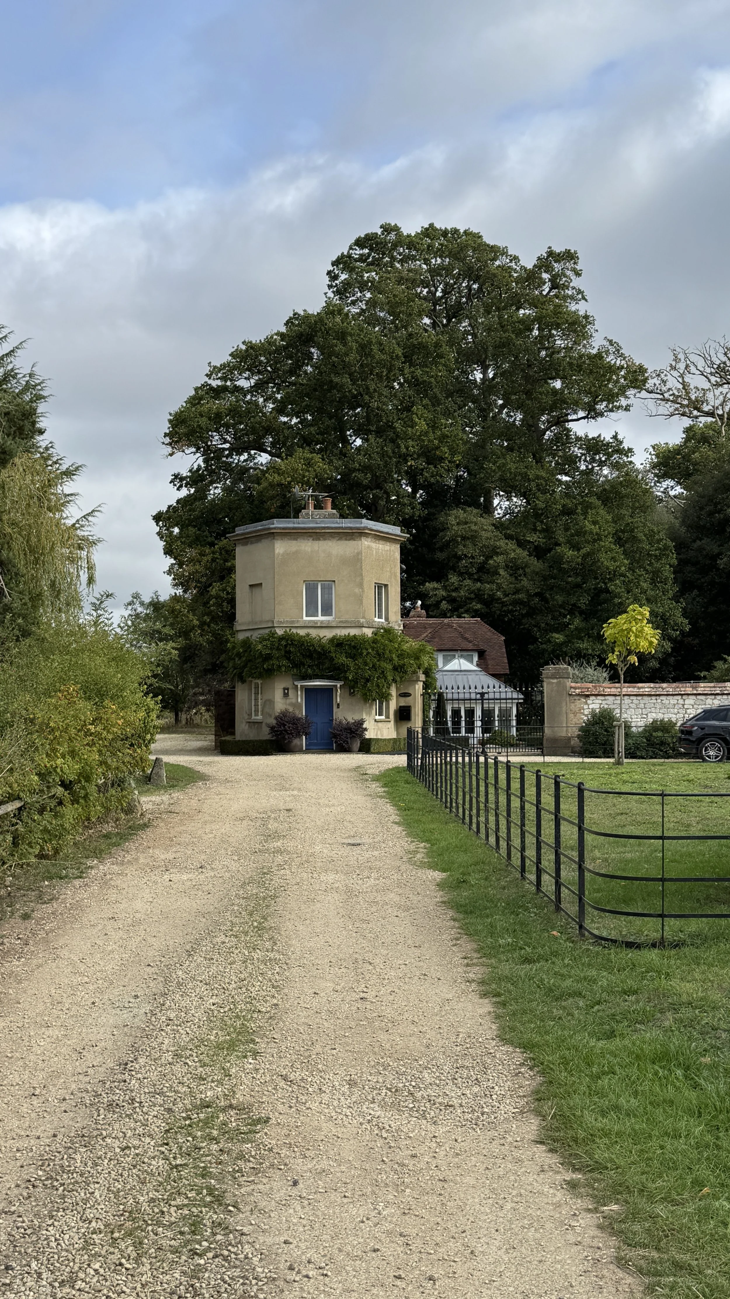
Pyrton Manor and St Mary's Church: Pyrton is an ancient settlement recorded in the Domesday Book. St Mary's Church features Norman origins, anchoring the start of the walk in centuries of local architectural heritage.
The Chiltern Escarpment & Clare Hill: Situated on the lower northwestern slopes of the Chilterns National Landscape (formerly Area of Outstanding Natural Beauty), Clare Hill provides a vantage point looking across the fertile Vale of Thame.
Ordnance Survey Trig Pillar (TP2197): Clare Hill hosts a classic concrete flush bracket trig pillar installed as part of the OS retriangulation of Great Britain, standing as a familiar waypoint for regional hill walkers.
Wheatfield Environs: The pastoral trackways skirting toward Wheatfield pass through quiet agricultural land that once formed part of historic parish estates lost or altered over centuries of agrarian change.
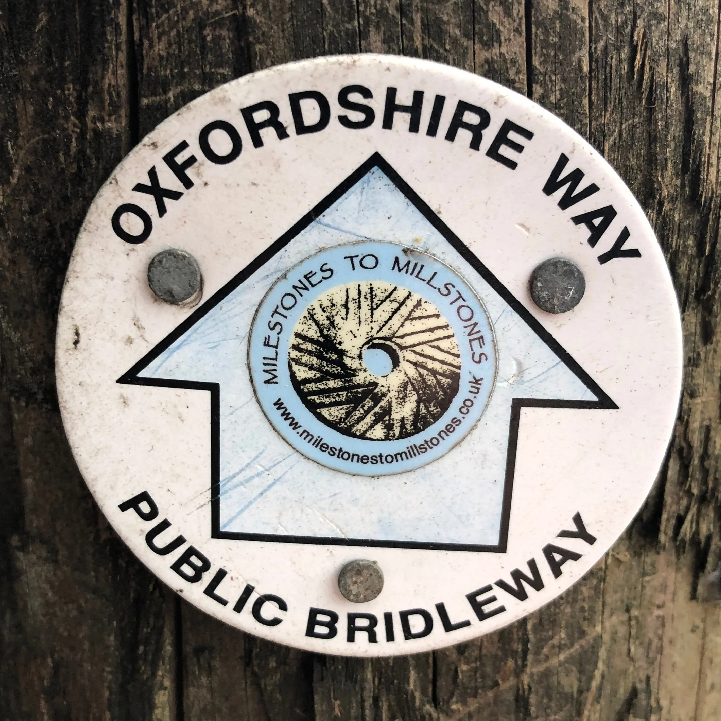
Oxfordshire Way next section (north): Adwell and Stoke Tamage (coming soon)
Oxfordshire Way next section (south): Watlington and The Ridgeway