Trig Pillar Walks: Wittenham Clumps and Brightwell Barrow
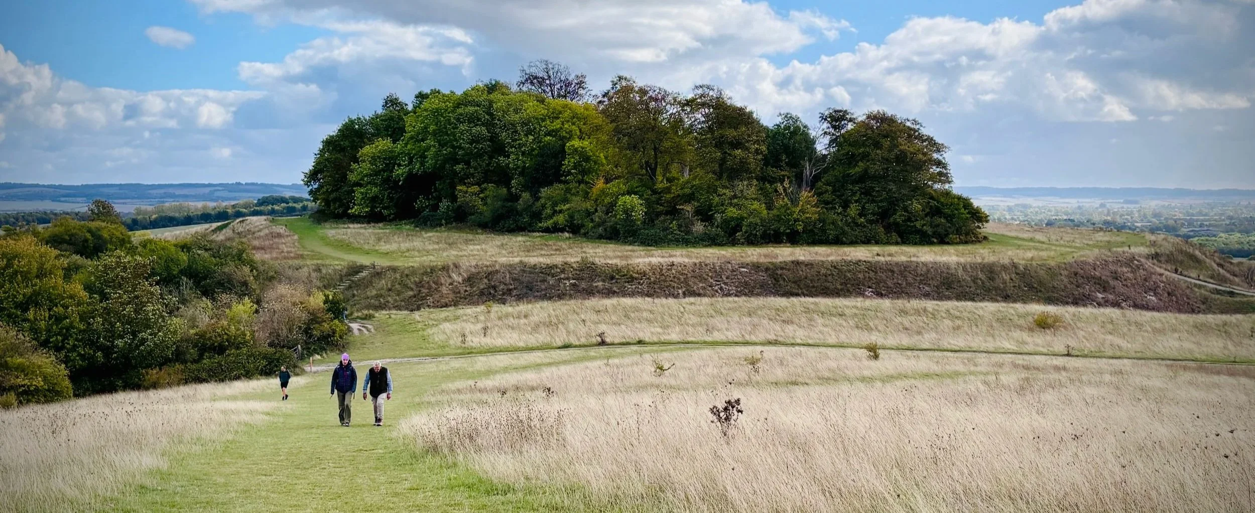
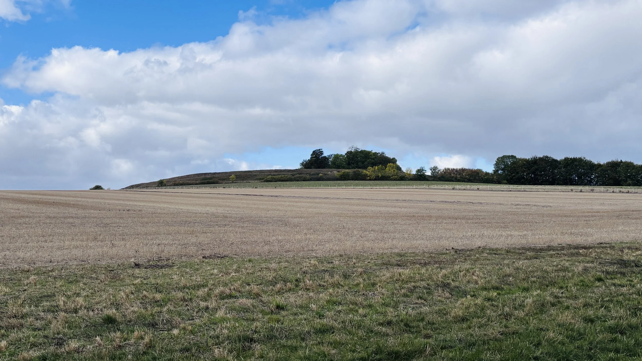
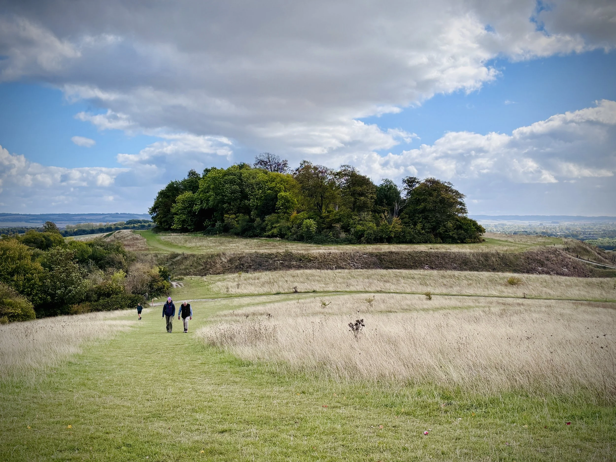
View to Castle Hill from Round Hill
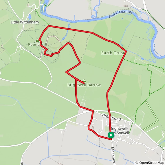
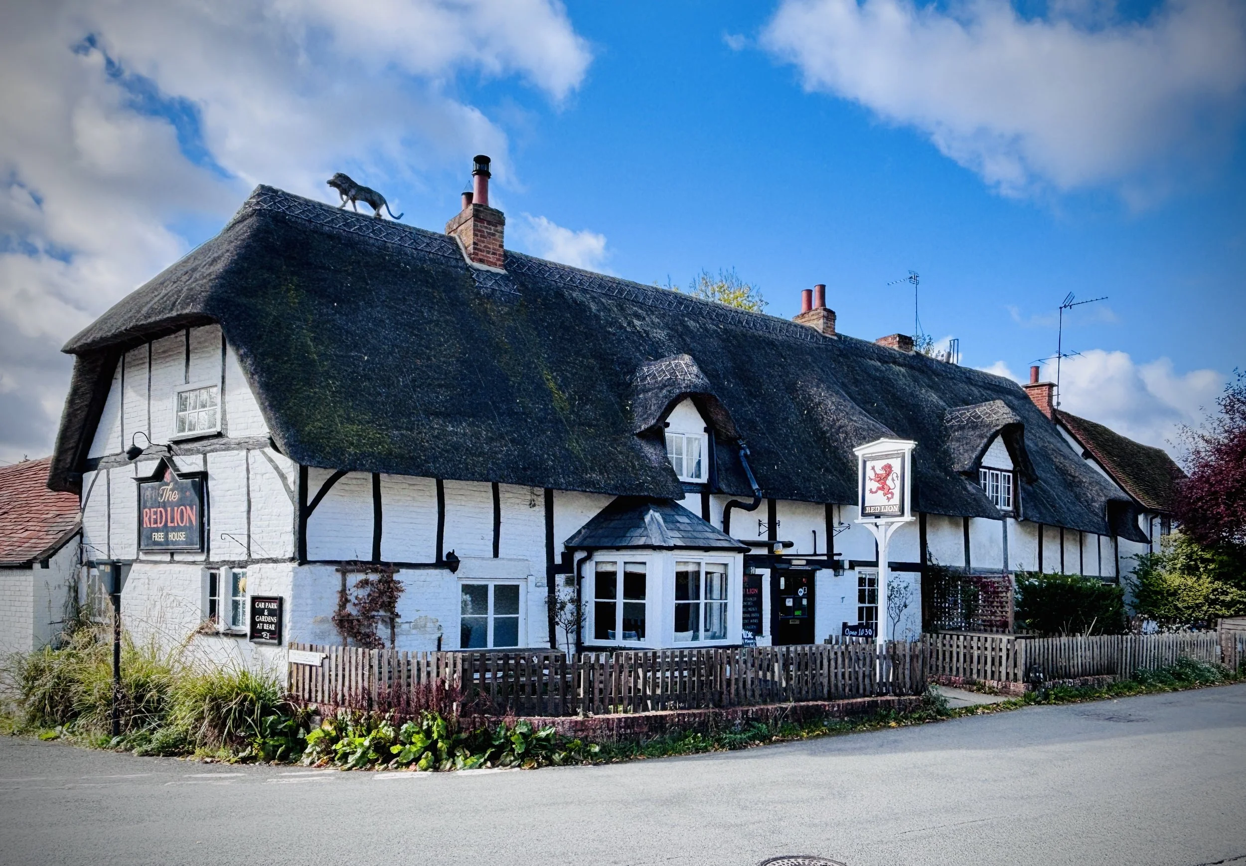
Start & Finish: On-street parking opposite the Red Lion pub, Brightwell Street, Brightwell-cum-Sotwell, Wallingford, OX10 0RT
Distance: 8.2 km (5.1 miles)
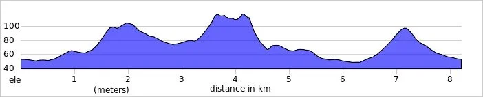
Elevation change: +/- 137m
Terrain: Undulating grassy paths, woodland trails, and steep chalk hill climbs with some uneven sections.
GPX File: get via Buy Me a Coffee
Other routes touched (walk): The Roman Way
Other routes touched (cycle): NCN 5
Pubs / Cafes on route: The Red Lion at the start and end of the walk
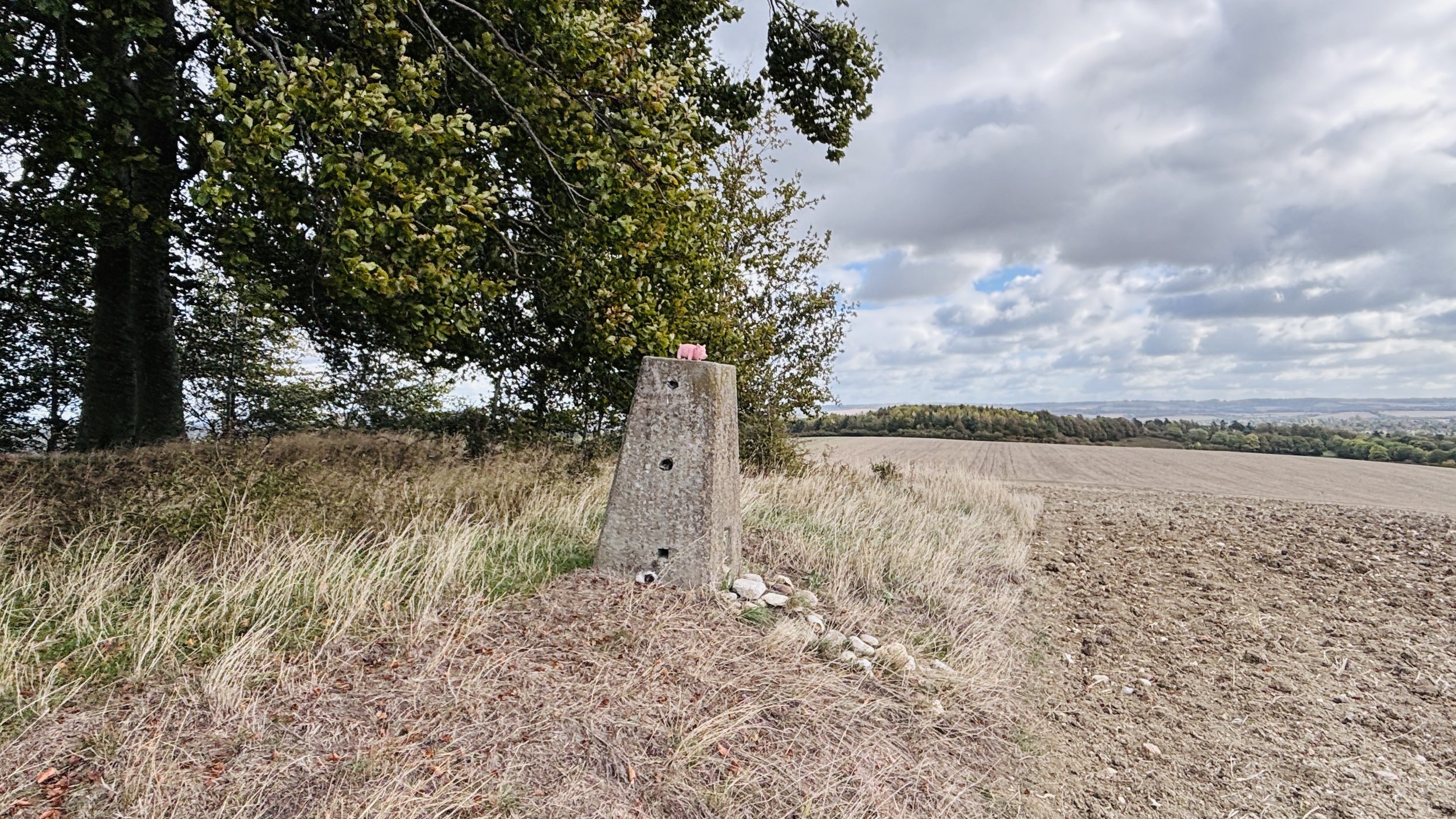
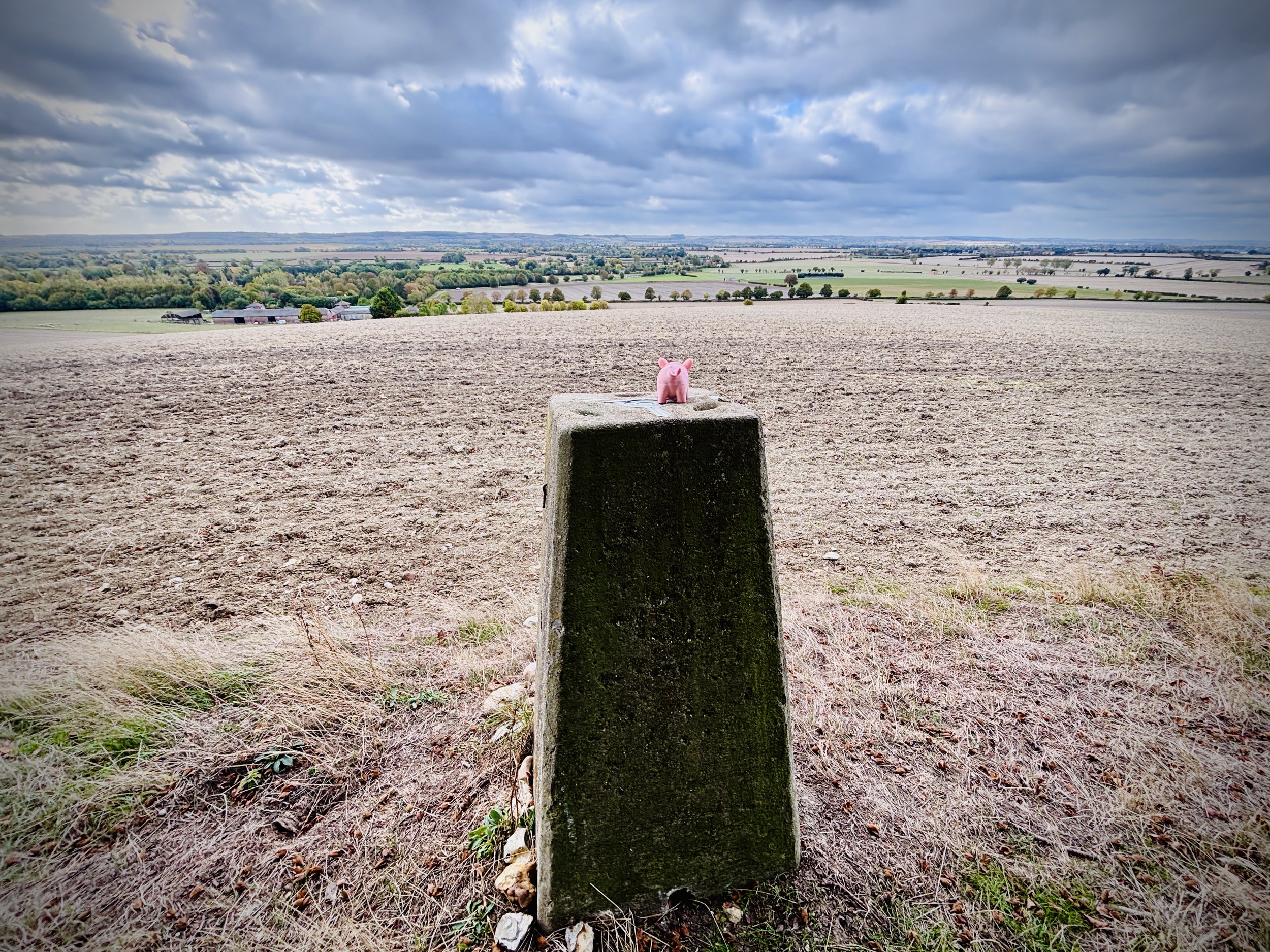
OS Trig Pillar: TP1629 - Brightwell Barrow
Map: Vale of White Horse Map | Abingdon-on-Thames, Wantage, Wallingford & Faringdon | Ordnance Survey | OS Explorer Map 170
Links: Wittenham Clumps, Brightwell Barrow, Brightwell-cum-Sotwell
This is part of a series of walks that combine beautiful countryside trails with finding (or “bagging”) an OS Trig Pillar. If you’ve searched for or stumbled across this page then you probably already know what an OS Trig Pillar is. If you don’t then this article from the Ordnance Survey is a good place to start.
Walking Directions
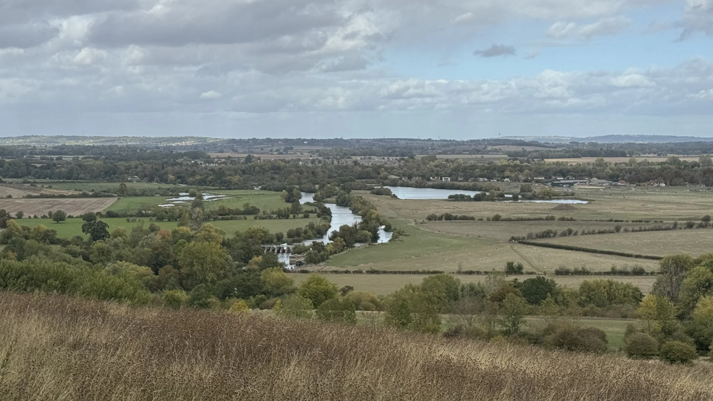
The walking directions below follow a scenic loop encompassing both the Wittenham Clumps and Brightwell Barrow. This route offers a fantastic mix of ancient history and sweeping views across the Thames Valley. While the undulating paths and steep chalk climbs might not be suitable for a fast and flat parkrun, they provide an excellent workout and a rewarding countryside trek for weekend walkers.
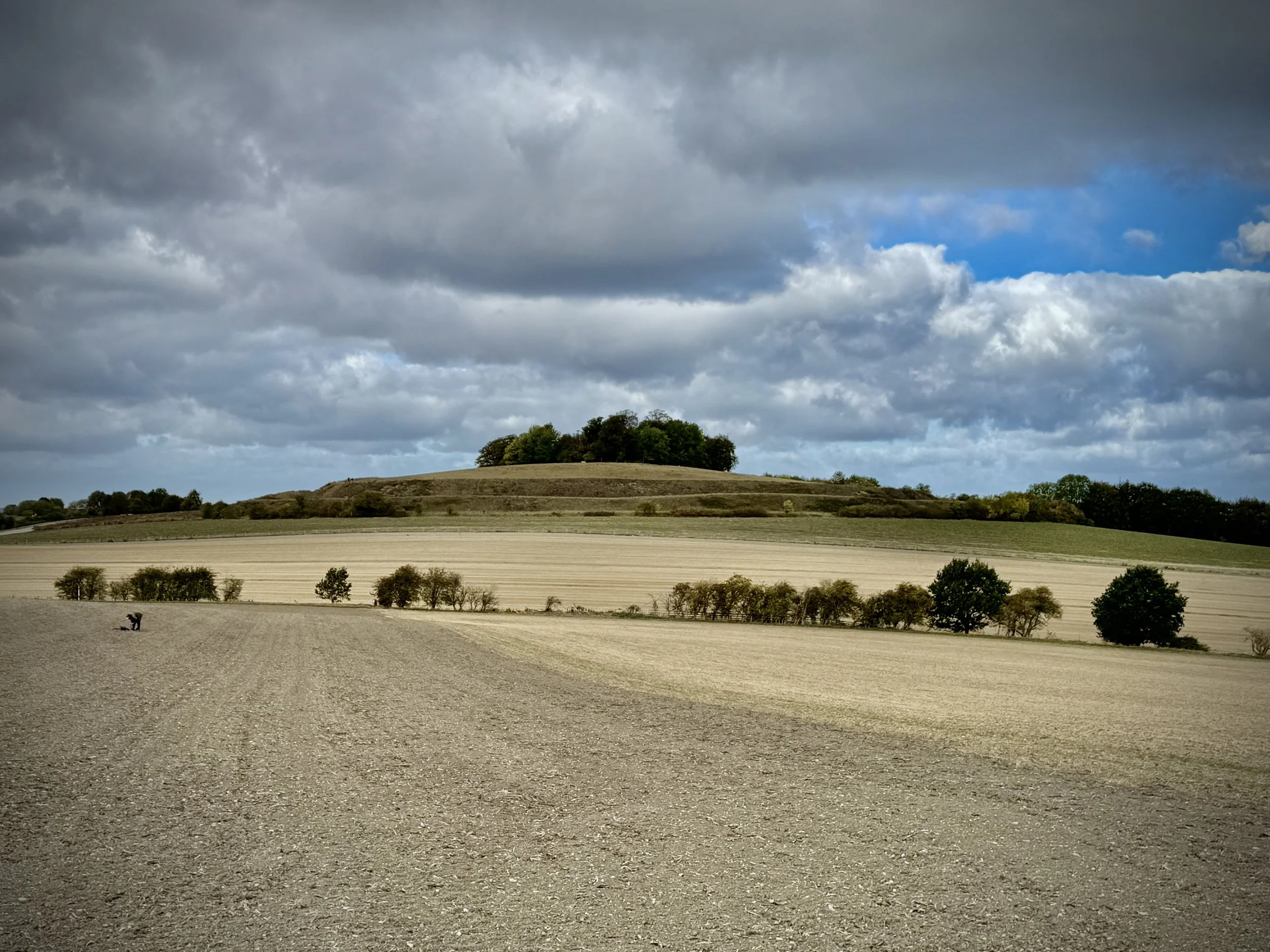
The trail begins with a steady ascent towards the Bronze Age site of Brightwell Barrow, a prominent peak marked by a classic Ordnance Survey trig pillar. From there, the path dips and climbs again to the iconic Castle Hill before looping back through the lower fields. The landscape is rich with archaeological history, making this short but energetic walk a true delight for both nature lovers and history enthusiasts.
The guidance below will help you navigate but don’t use it as a fully accurate turn-by-turn guide. Always take a map and/or a GPX route and prepare well for the weather and terrain.
Park for free on-street opposite the Red Lion pub in Brightwell Street, Brightwell-cum-Sotwell.
From the pub, walk west on Brightwell Street, then continue onto West End at the junction with Church Lane.
Follow West End north-west as it curves right to become Didcot Road.
Turn right at Little Martins and take the footpath on the left following the road north.
Cross the A4130 carefully and continue north-west to meet Sires Hill.
Turn right on Sires Hill, then take the footpath north-west to the farm.
Follow the path diagonally across the fields to a water trough; Brightwell Barrow is south-east.
Visit the trig pillar and return to the trough, then descend north-west between the fields.
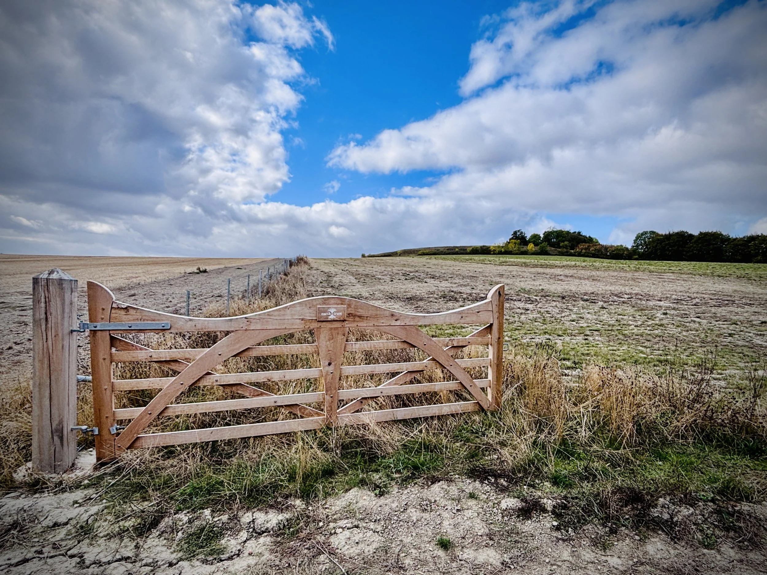
Go through the gate at the hedgerow, turn right, and follow the track north-east.
Curve left north-west before the forest, then ascend south-west to Castle Hill.
Walk around the southern path to the west, then clockwise to a small path descending towards Round Hill.
Ascend to Round Hill, turn right on the outer circle, and descend steeply towards the River Thames.
Go through the gate at the bottom and take a right through Little Wittingham Wood.
Continue south-west for 1.7 km, follow the field edge to a private property gate, then turn right south-west.
Meet Roman Way, ascend Castle Hill, then descend to the A4130.
Cross the road, continue south over High Road, and follow Green Mere to Brightwell Street.
Points of Interest along or near to the Route
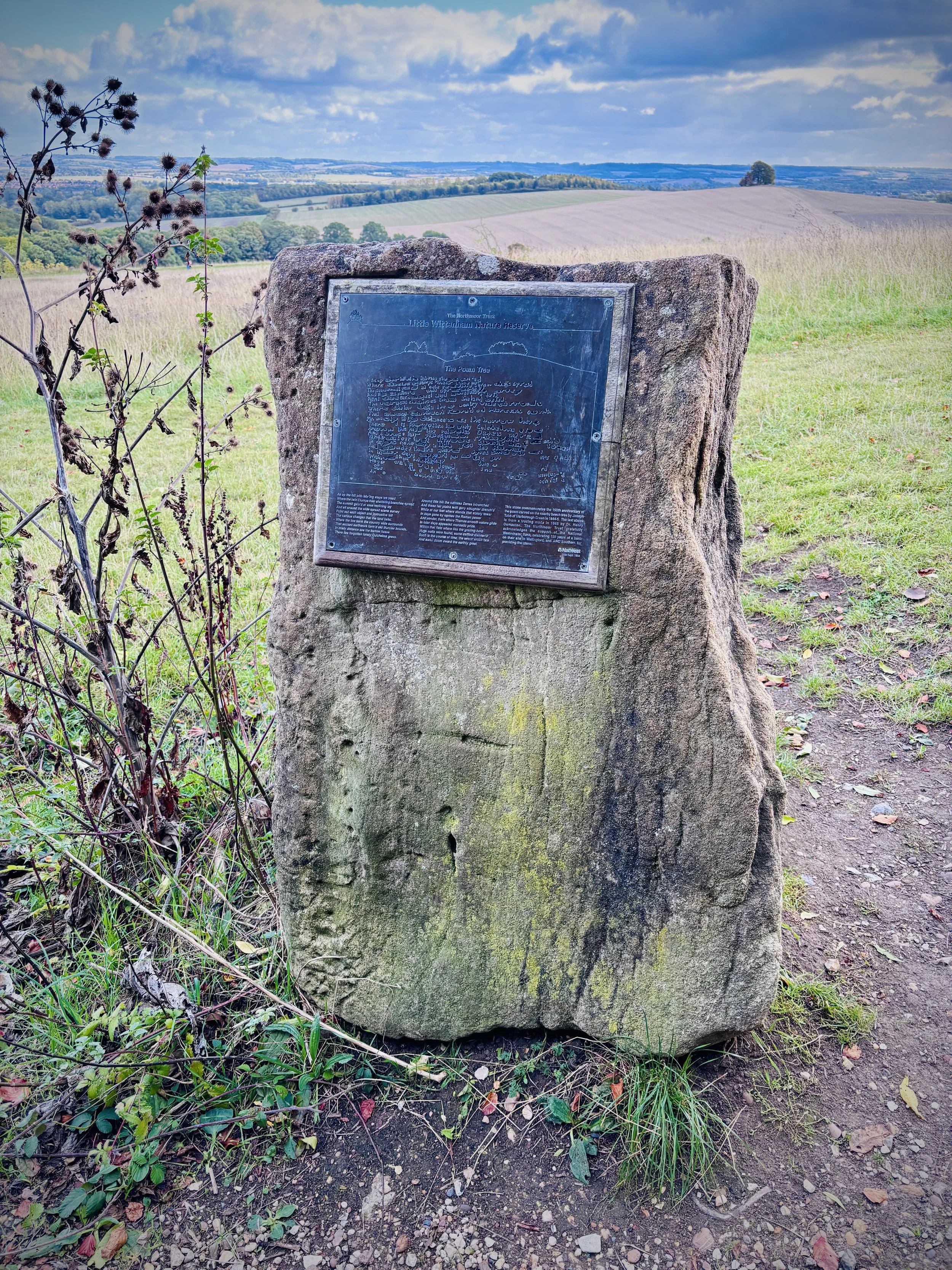
Wittenham Clumps: A prominent pair of wooded chalk hills, comprising Round Hill and Castle Hill. They are a famous local landmark managed by the Earth Trust and contain the earthworks of an Iron Age hillfort.
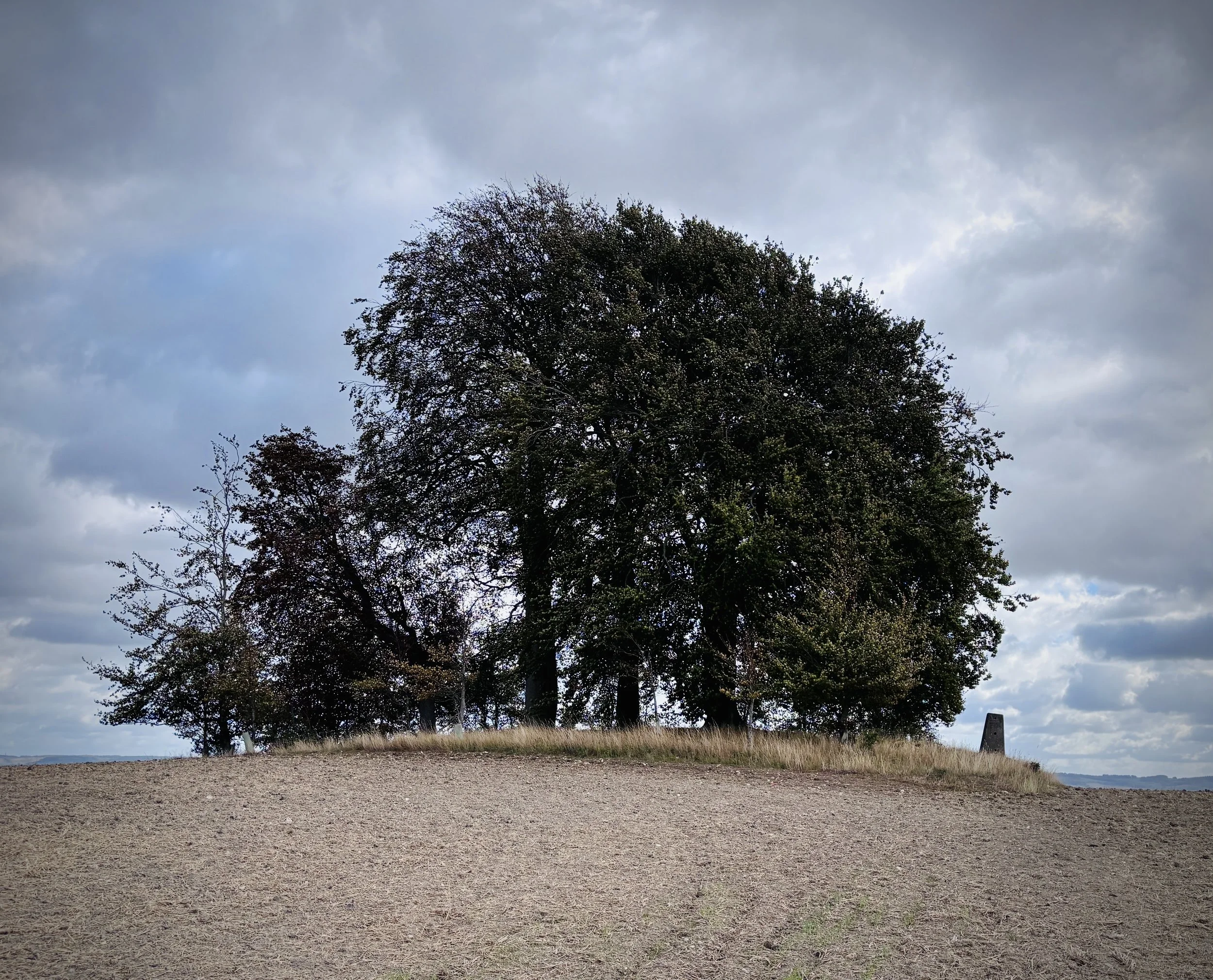
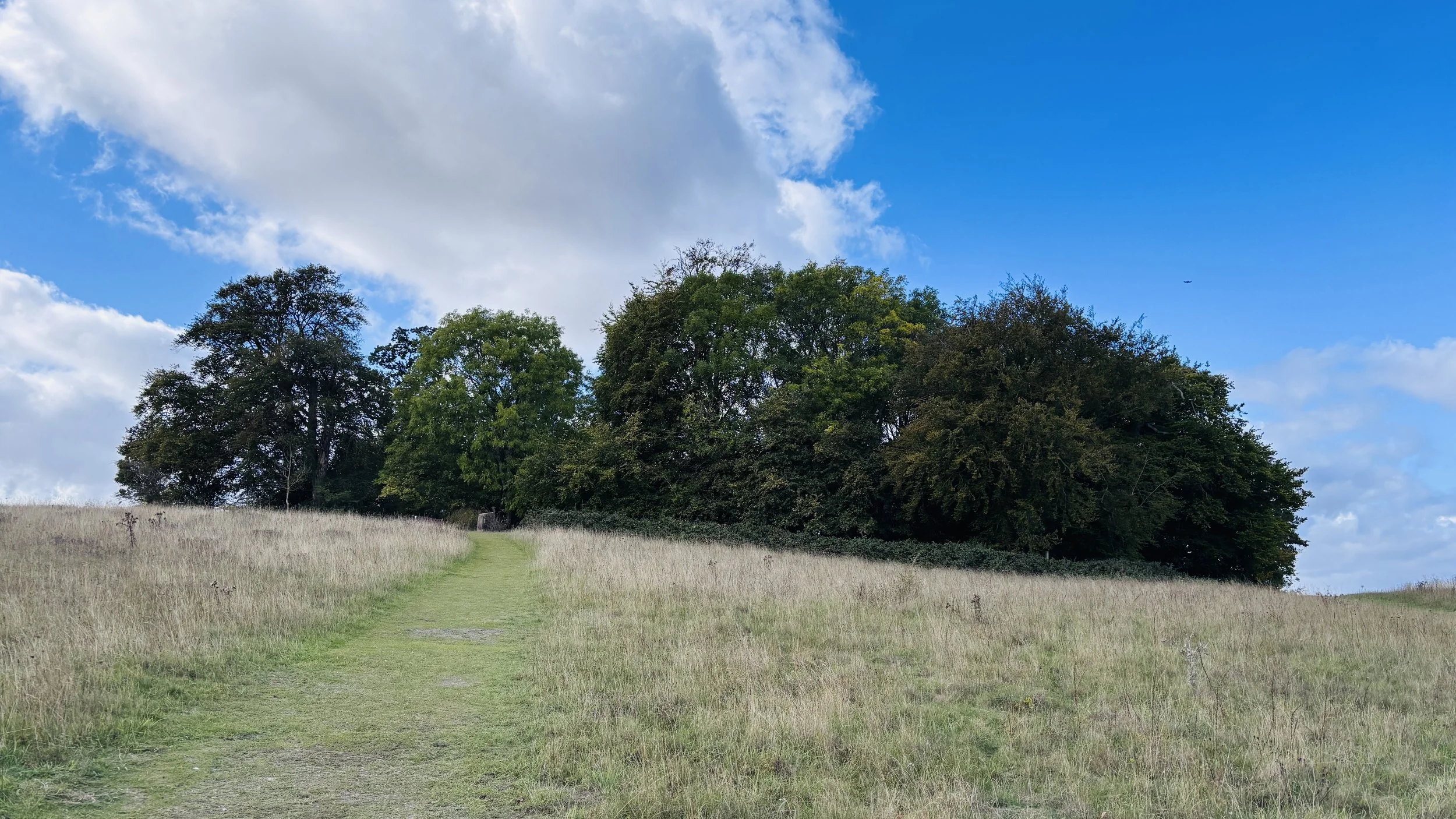
Brightwell Barrow: A Bronze Age round barrow marked by a trig pillar (TP1629) and a small cluster of trees. It offers expansive views across the Oxfordshire countryside.