Walking The Midshires Way Part 17: Salcey Forest and the Northamptonshire Border
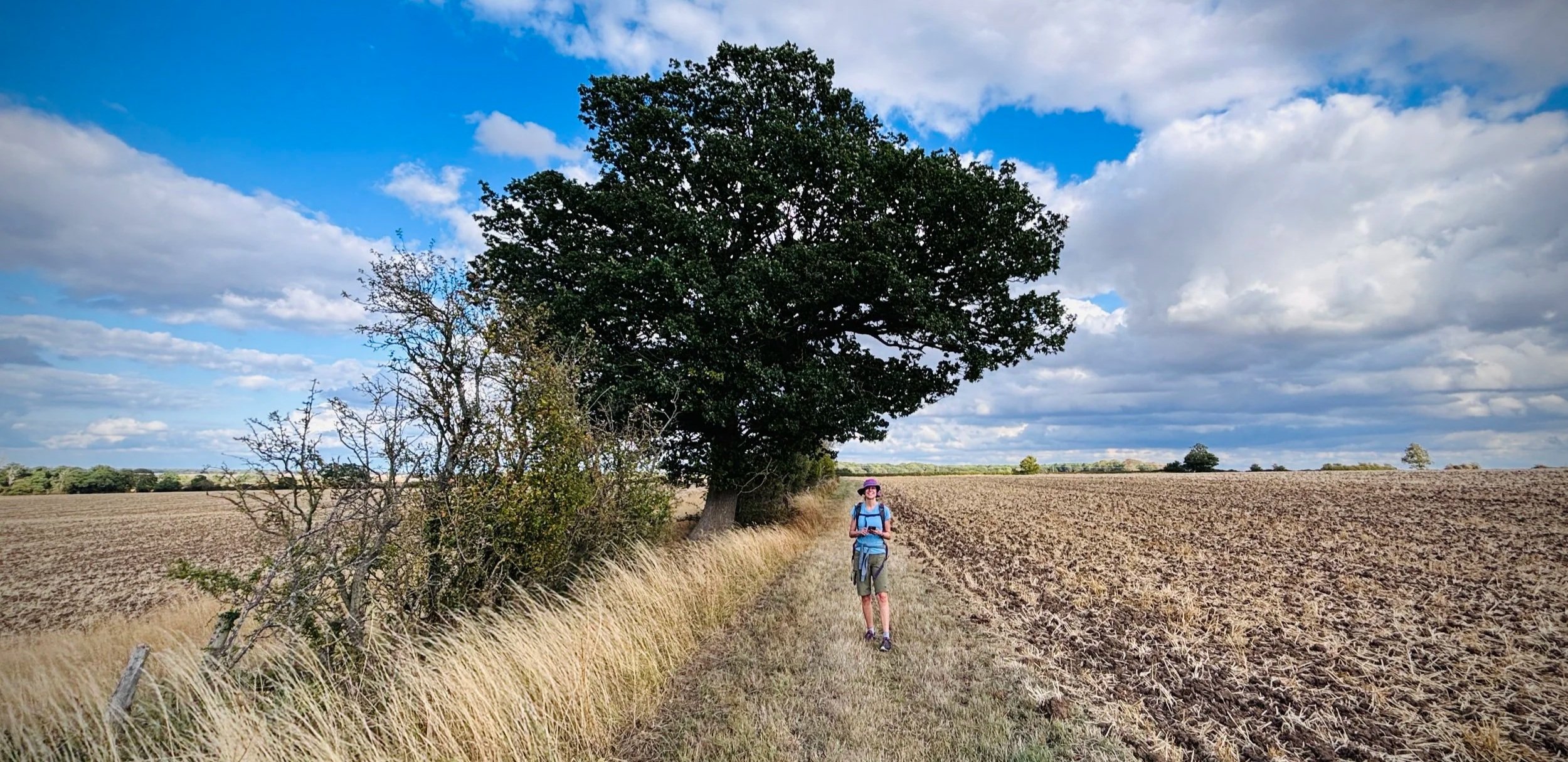
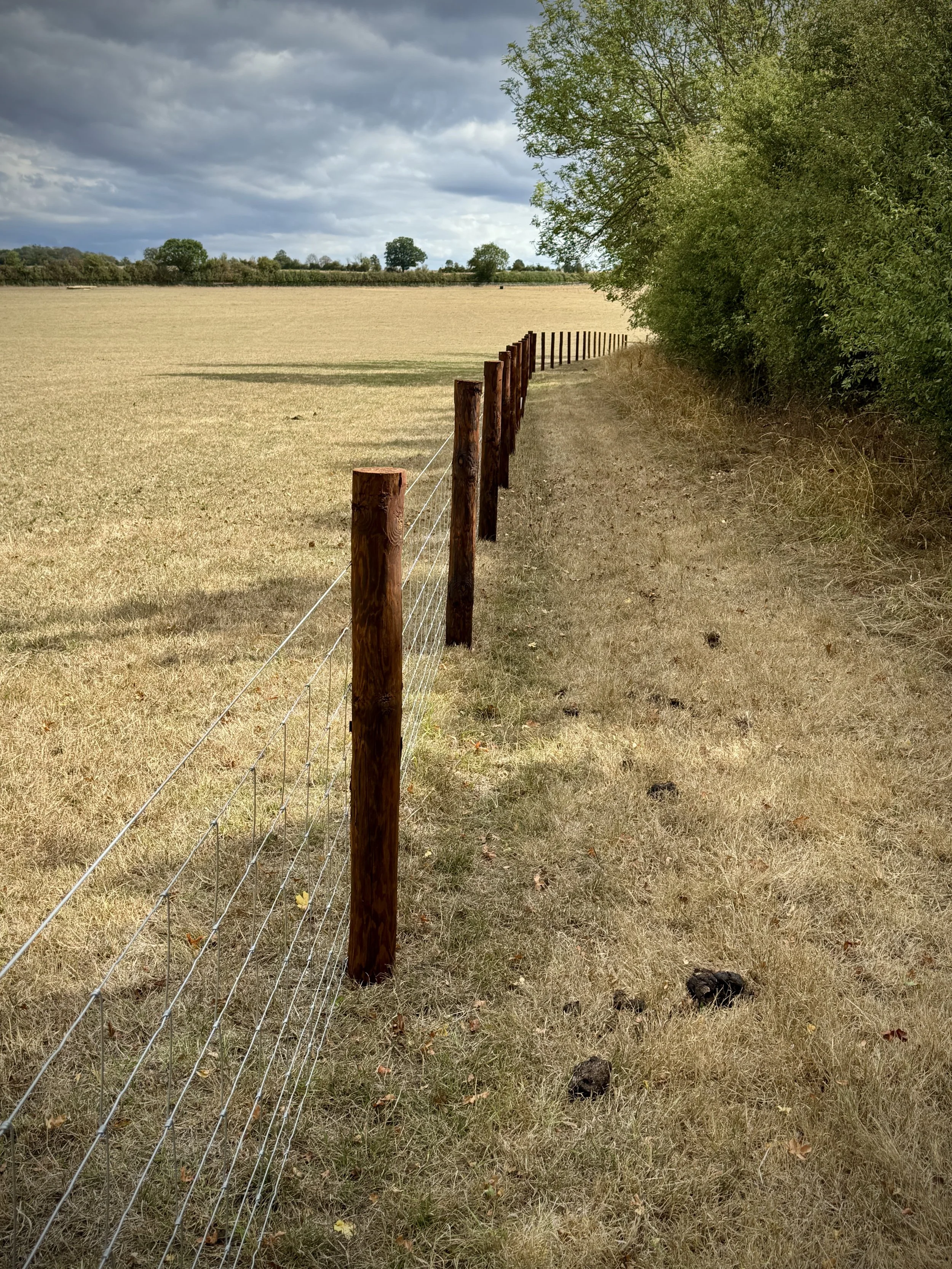
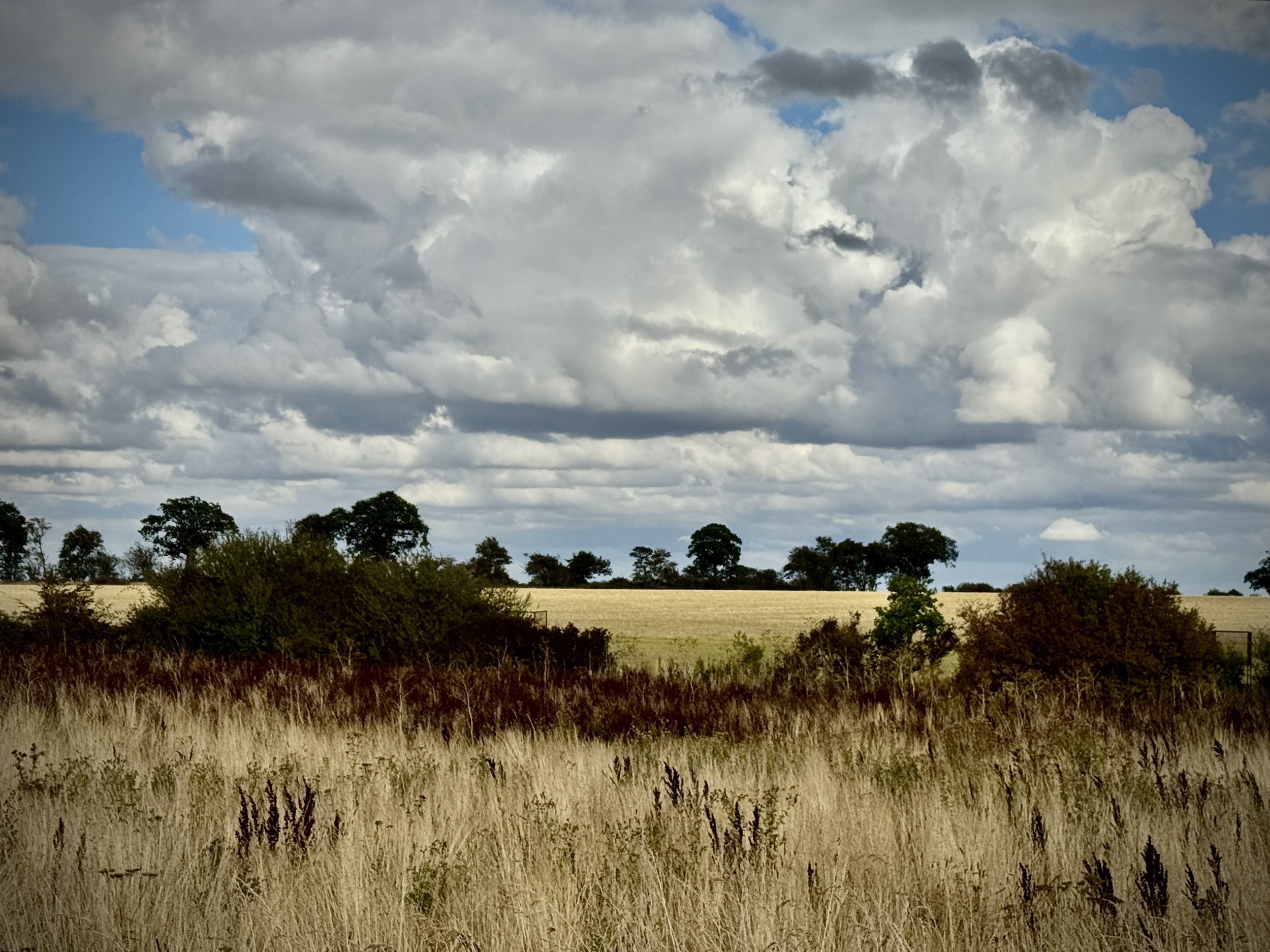
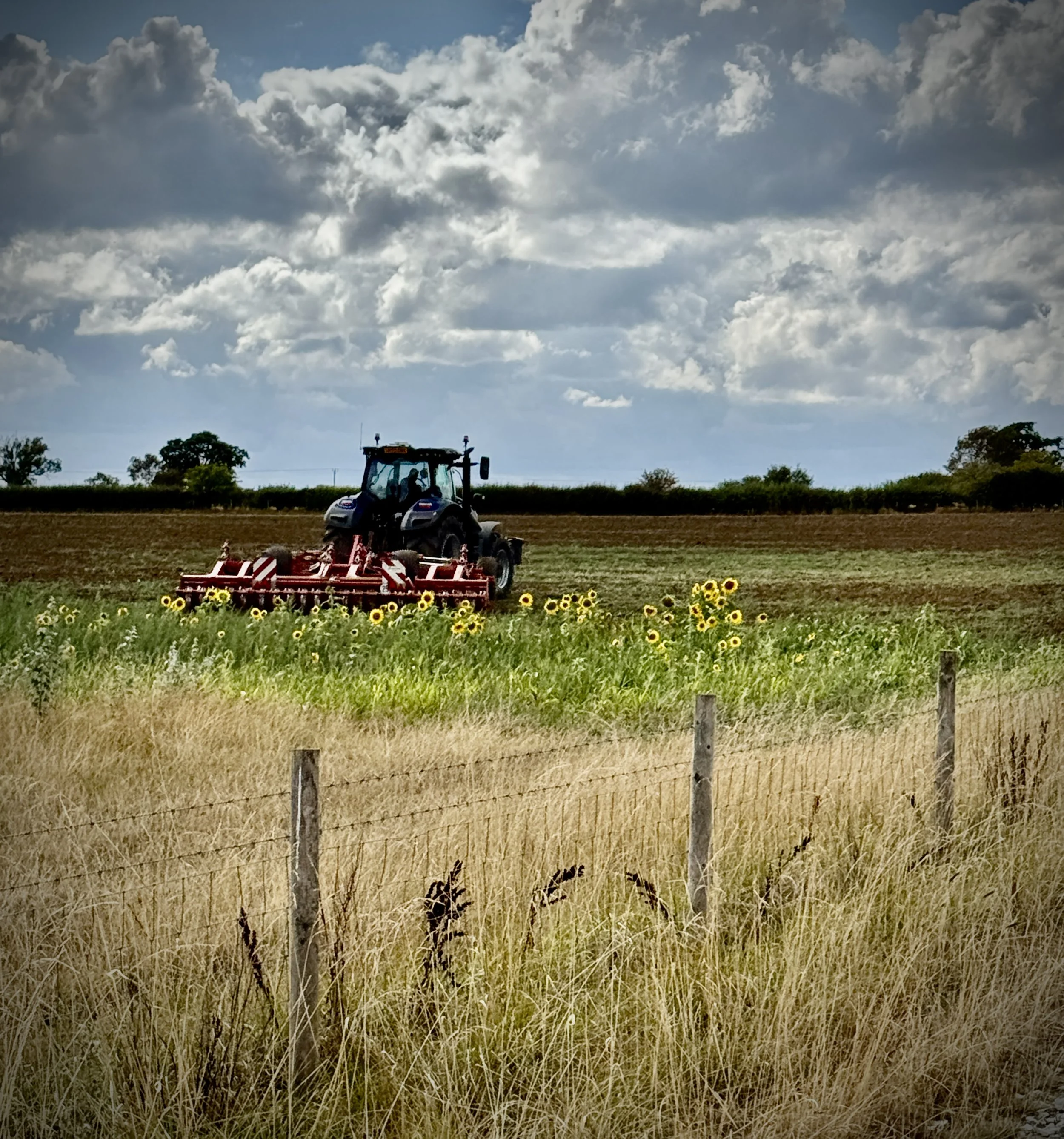
Farmland to the south of Salcey Forest
Start & Finish: Salcey Forest Visitor’s Centre, Wootton Rd, Northampton NN7 2HX
Distance: 13.6 km (8.5 miles)
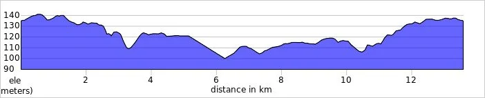
Elevation change: +/- 90m
Terrain: A mix of ancient woodland trails, quiet country lanes, and undulating field paths.
Midshires Way section covered: (near) Stokepark Wood to Salcey Forest: 6.3 km
GPX File: get via Buy Me a Coffee
Other routes touched (walk): Midshires Way, The Swan Way, Hanslope Circular Ride, Milton Keynes Boundary Walk, Northamptonshire Round
Other routes touched (cycle): NCN 6
Pubs / Cafes on route: The Grounds Cafe at Salcey Forest, at the start and end of the route.
Map: Newport Pagnell & Northampton South Map | Towcester & Olney | Ordnance Survey | OS Explorer Map 207
Links: Salcey Forest, Hartwell, Hanslope
Welcome to Part 17 of our series of short circular walks along the Buckinghamshire section of the Midshires Way. For a complete overview of the 225-mile trail's history, its connection to the Swan's Way, and preparation tips, please read my complete Midshires Way Through Buckinghamshire Guide.
Walking Directions
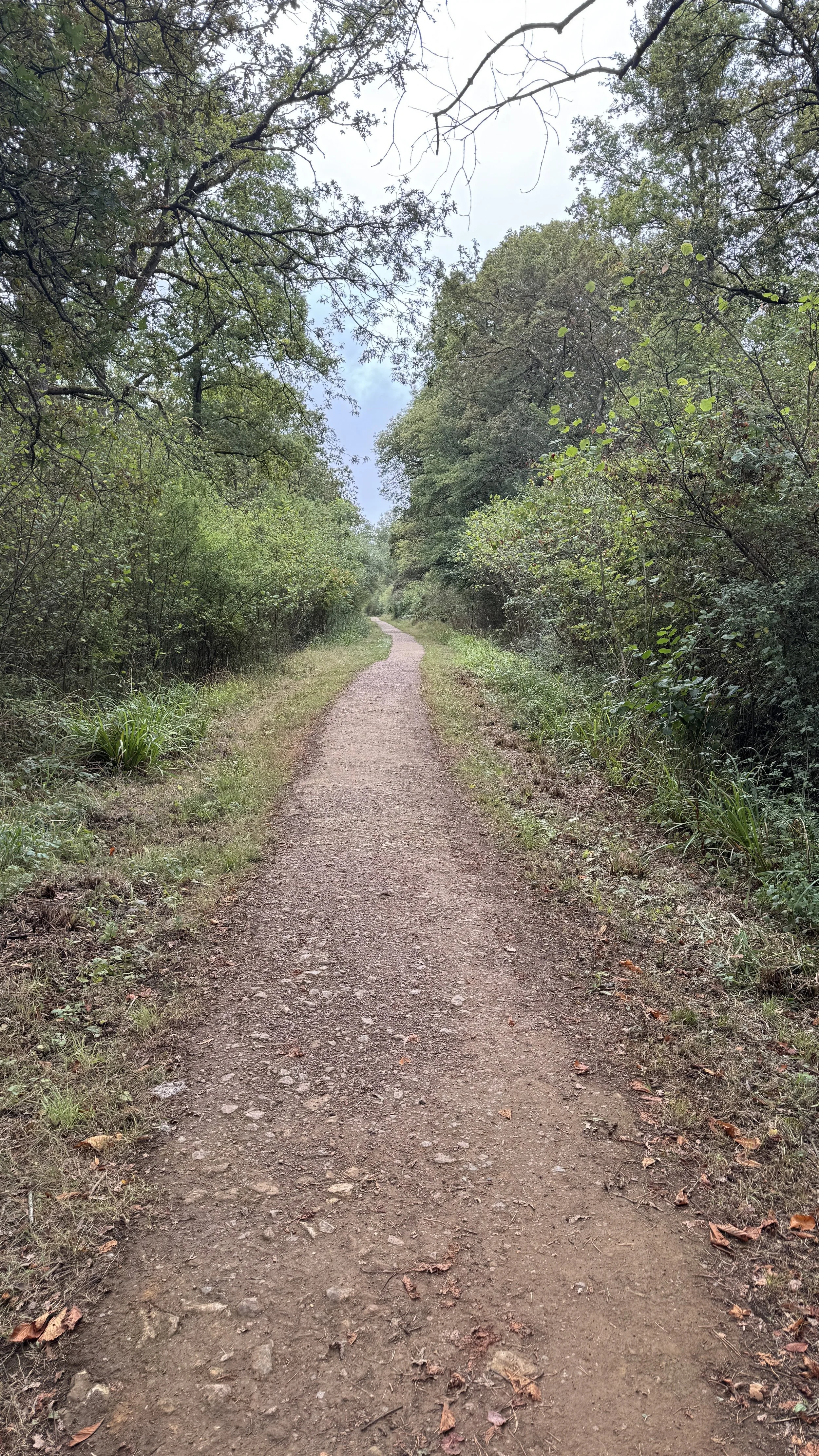
This section of the Midshires Way offers a fantastic blend of dense ancient woodland and wide open countryside. Starting in the heart of Salcey Forest, you get to experience the tranquil atmosphere of a former medieval hunting ground before the route opens up into the rolling fields of Northamptonshire. It is an excellent route for walkers who enjoy varied scenery and want to experience both shaded tree canopies and expansive rural views.
The terrain is generally forgiving, with well-surfaced forestry tracks making up the first and final sections of the loop. The middle section takes you across farmland and along quiet country lanes near Hanslope, which can get a little muddy after heavy rain but are otherwise straightforward to navigate. Whether you are adding this to a larger Midshires Way trek or simply stretching your legs after a Saturday parkrun, this circular route provides a wonderful half-day out.
The guidance below will help you navigate but don’t use it as a fully accurate turn-by-turn guide. Always take a map and/or a GPX route and prepare well for the weather and terrain.
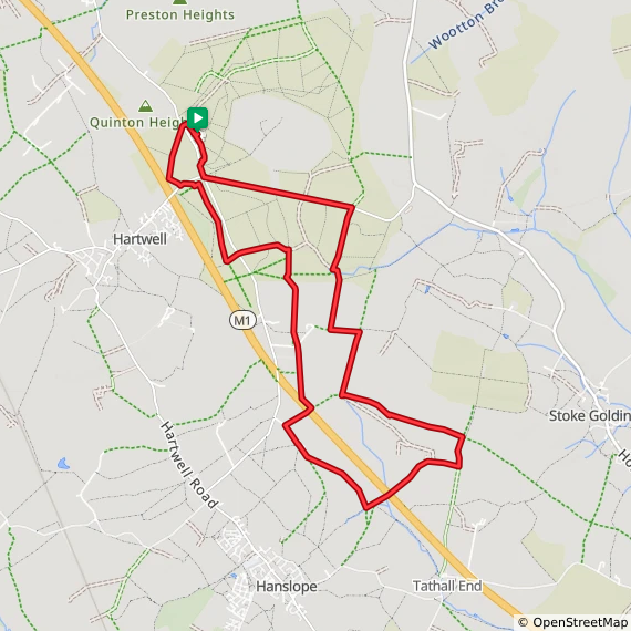
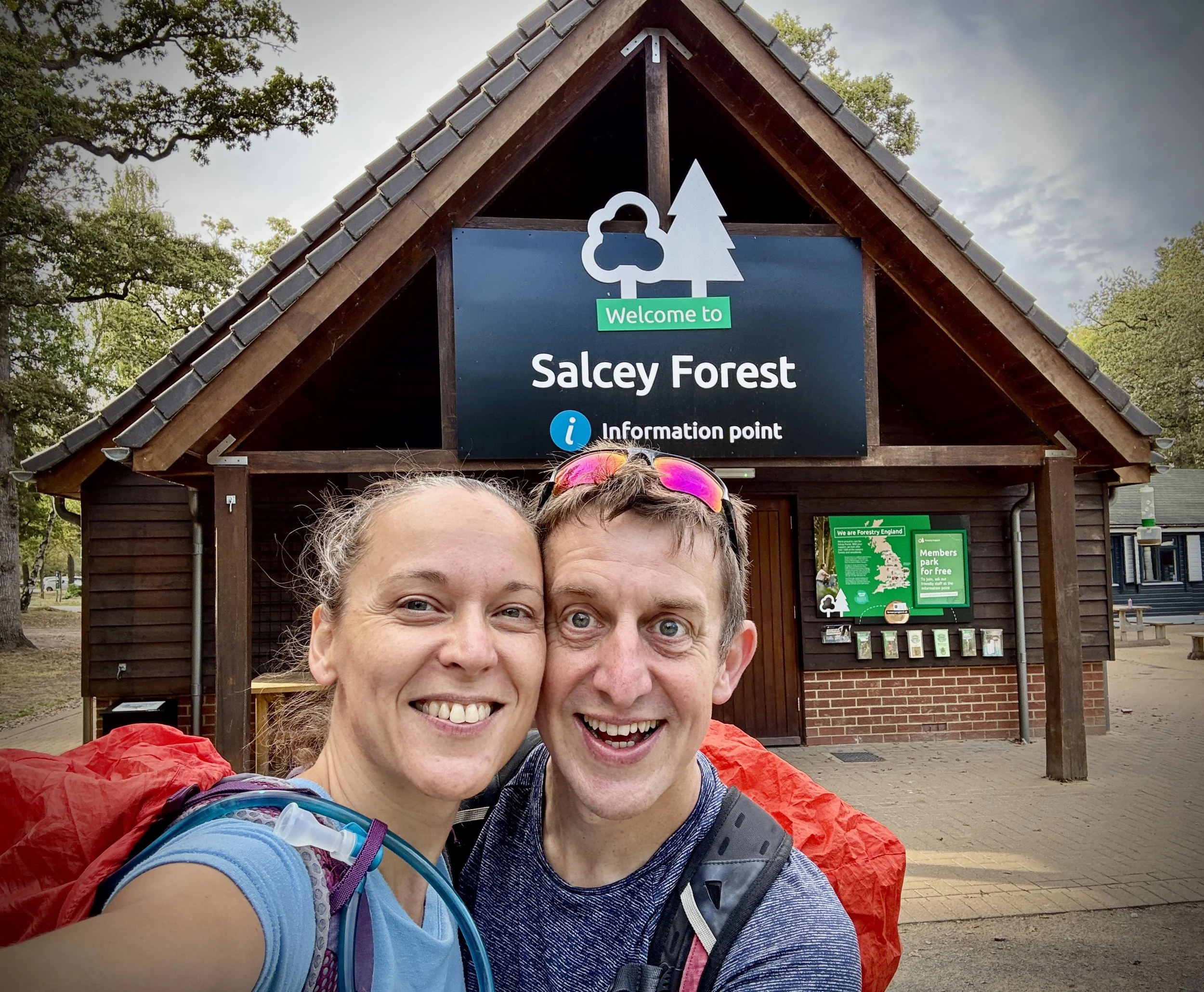
Start and end the walk at the Salcey Forest Visitor Centre, which is located just off Wootton Road.
Note that the Buckinghamshire and Northamptonshire border runs directly through Salcey Forest: as this is the last of the Midshires Way walks in Buckinghamshire, the route takes you right up to the county border.
From the car parking area, walk in a north-westerly direction through the car park.
Take the first path on the left at the end of the car park to cross over Wootton Road.
Enter the western side of Salcey Forest, which is sandwiched between Wootton Road and the M1.
Continue walking along the bridle path in a south-westerly direction as it curves around.
Cross over Forest Road: you will notice on the map a spot height called Hartwell Heights at 130m, though there is nothing to see here other than a gate as you cross the road.
Continue on the bridle path heading in a south-easterly direction through the forest, keeping the M1 on your right.
At just over 2 kilometres into the walk, you will reach a path junction.
Take a left to head in an easterly direction and cross over Wootton Road again.
Keep heading easterly until you reach another path junction at 2.8 kilometres into the walk.
Take a right here to start walking south, soon meeting the edge of Salcey Forest and exiting out into farmland.
Follow the path along the edge of the field, which is contained by a fence, and keep walking south past Forest Farm.
Continue walking south until you reach the M1, then walk parallel to it for about 100 metres until you reach a farm footbridge.
Cross over the M1 via the footbridge into more farmland on the western side of the motorway.
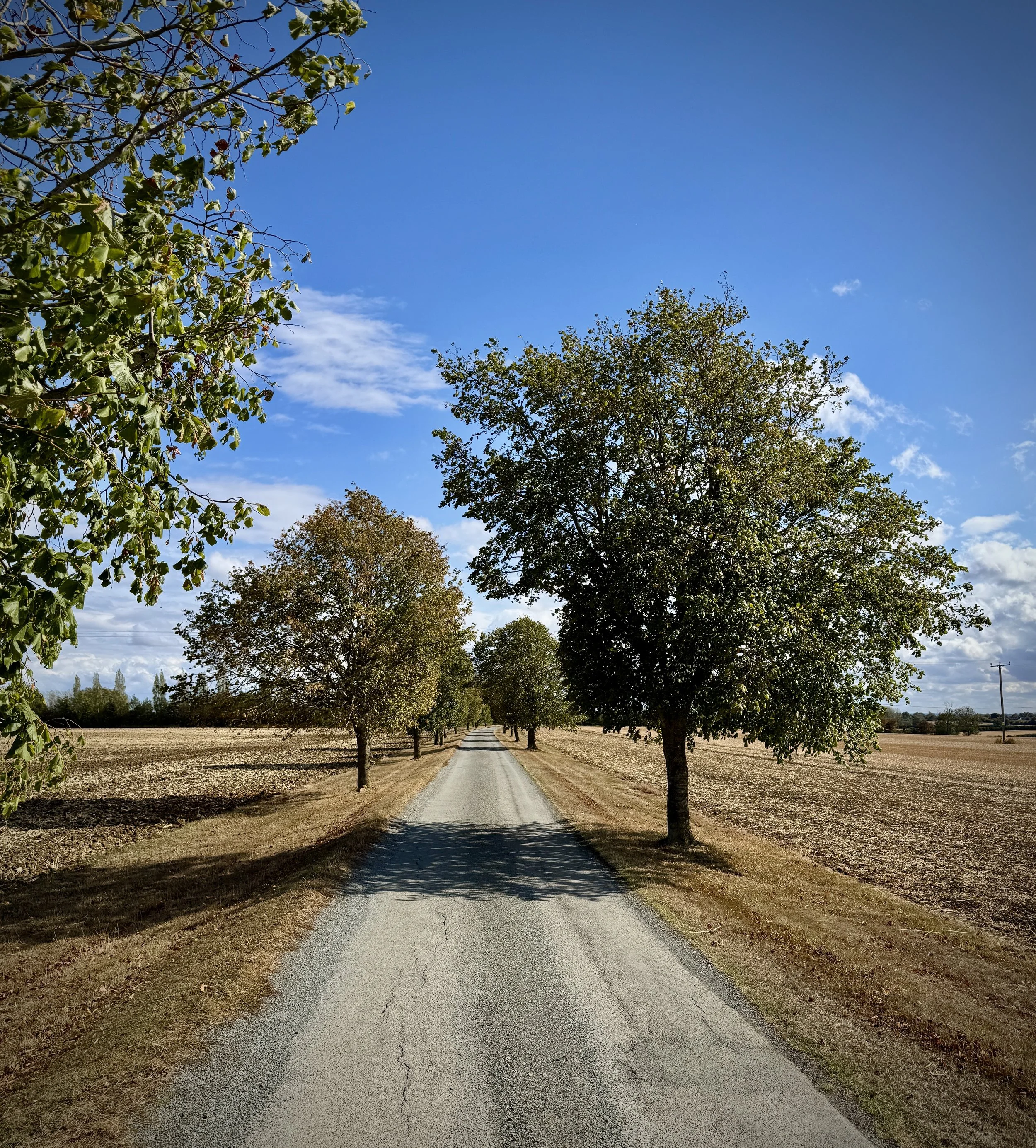
At the next path junction by a tree-lined farm road, take a left.
Follow this farm road in a south-easterly direction past the farmhouse and into the fields.
Continue until you reach the edge of the field just in front of a stream, then take a left to walk in a north-easterly direction.
Cross under the M1 via the footbridge underpass and keep walking north-easterly.
Proceed until you reach a junction where you meet the Midshires Way again at the section where you left it on part sixteen of the walk.
Take a left, heading towards Stoke Park Wood: do not enter Stoke Park Wood, but instead take the next left to follow the Midshires Way in a north-westerly direction.
Zigzag around the edges of the farmland until you eventually re-enter Salcey Forest woods.
Continue walking in a northerly direction until you reach Forest Road.
Take a left onto Forest Road at the corner where you will see the Salcey Forest Horse Box car park.
Follow the edge of this road all the way back to the junction of Forest Road and Wootton Road.
Take a right onto Wootton Road and follow it back up to the Salcey Forest Visitor Centre car park to finish the walk.
Points of Interest along or near to the Route
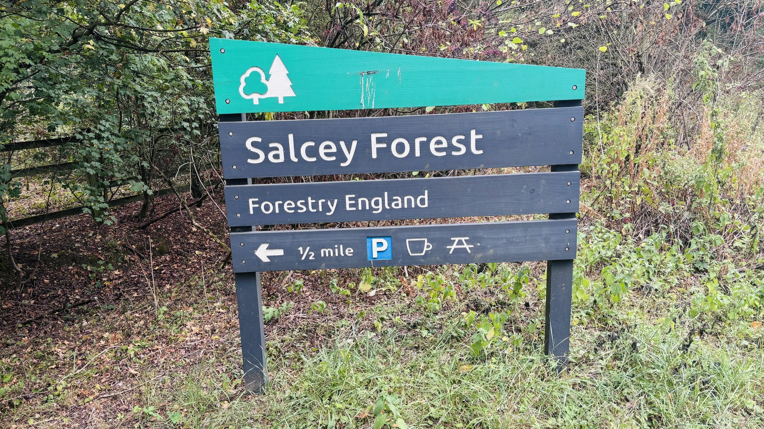
Salcey Forest: An ancient medieval hunting forest managed by Forestry England. It is famous for its veteran oak trees and diverse wildlife, providing a tranquil woodland escape with roots dating back centuries.
The Ancient Oaks: Several veteran oak trees, some estimated to be over 500 years old, are scattered throughout the woodland. They serve as living monuments to the ecological history of the area and are well worth stopping to admire.
Hanslope Spire: Though located just off the primary path, the towering spire of St James the Great in Hanslope dominates the local skyline. It stands as one of the tallest steeples in Buckinghamshire and acts as a helpful navigational landmark for walkers in the surrounding fields.
Midshires Way previous section (south): Stoke Goldington and Tathall End