Walking The Midshires Way through Buckinghamshire
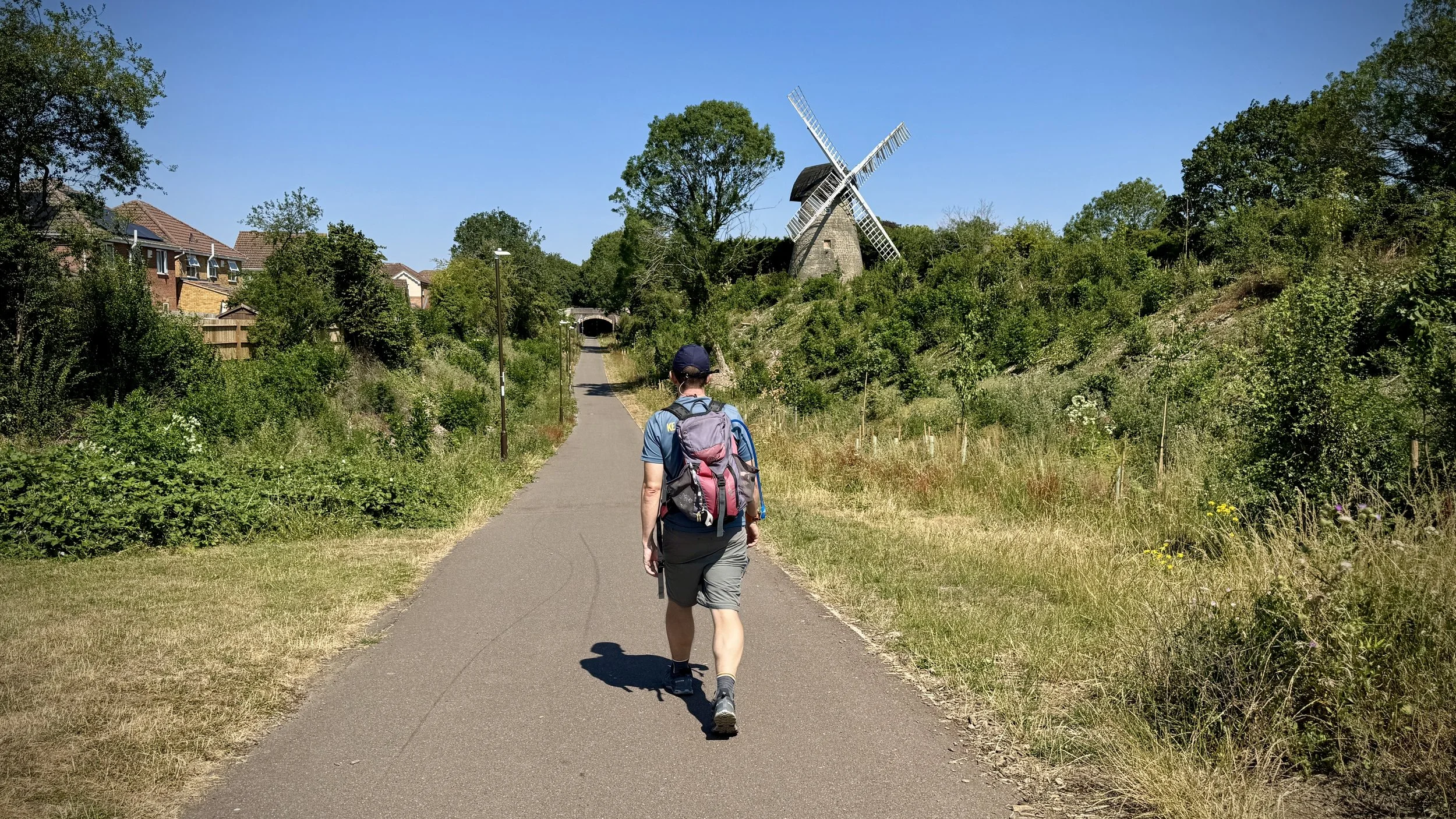
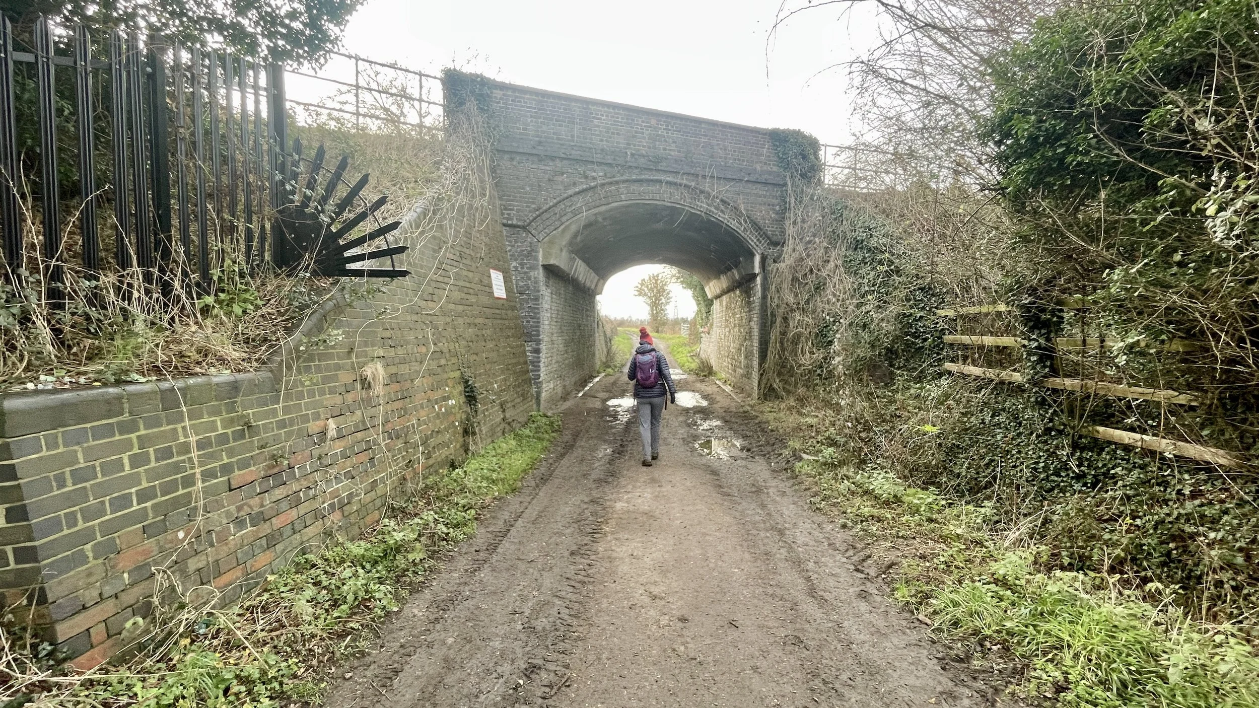
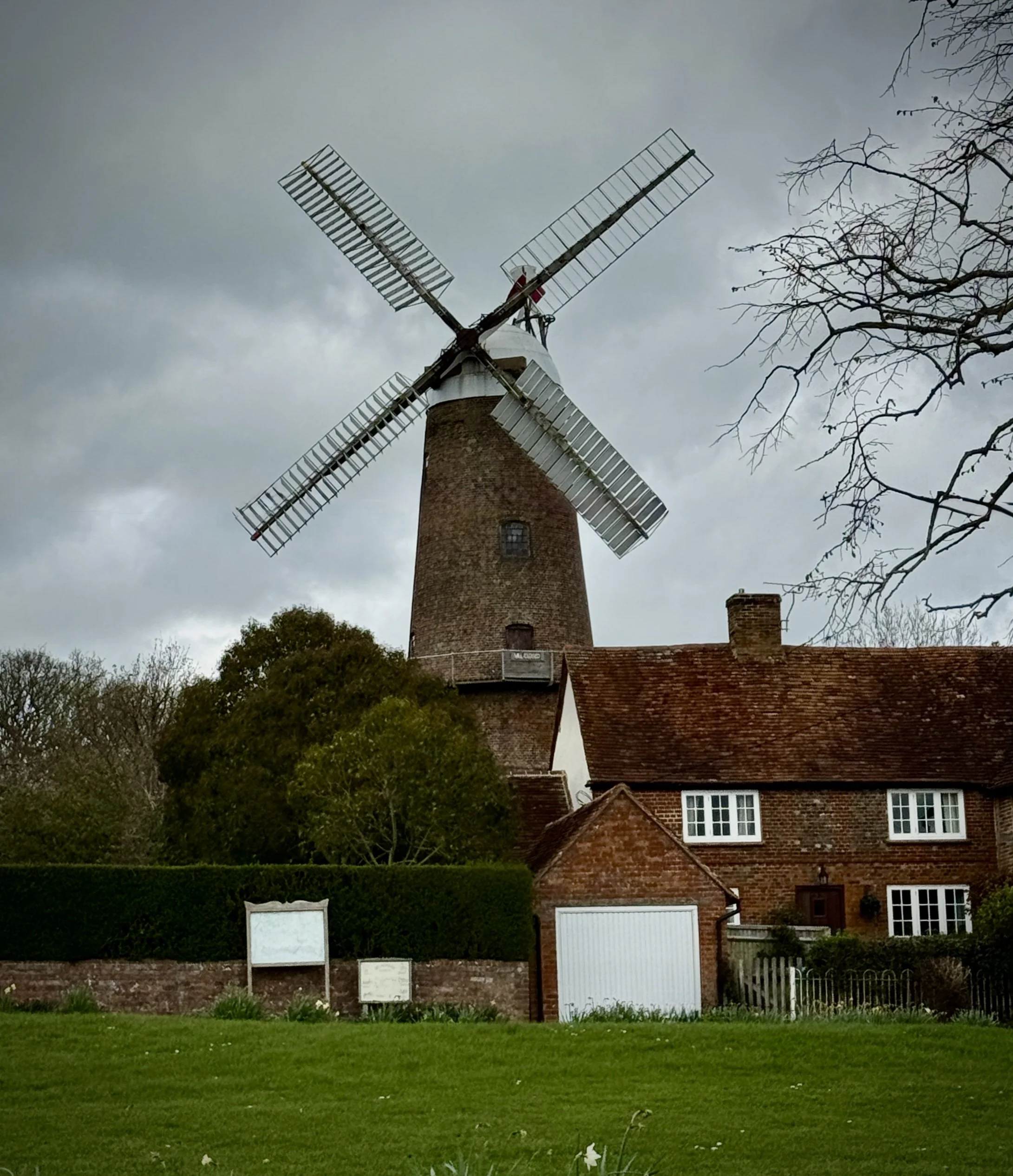
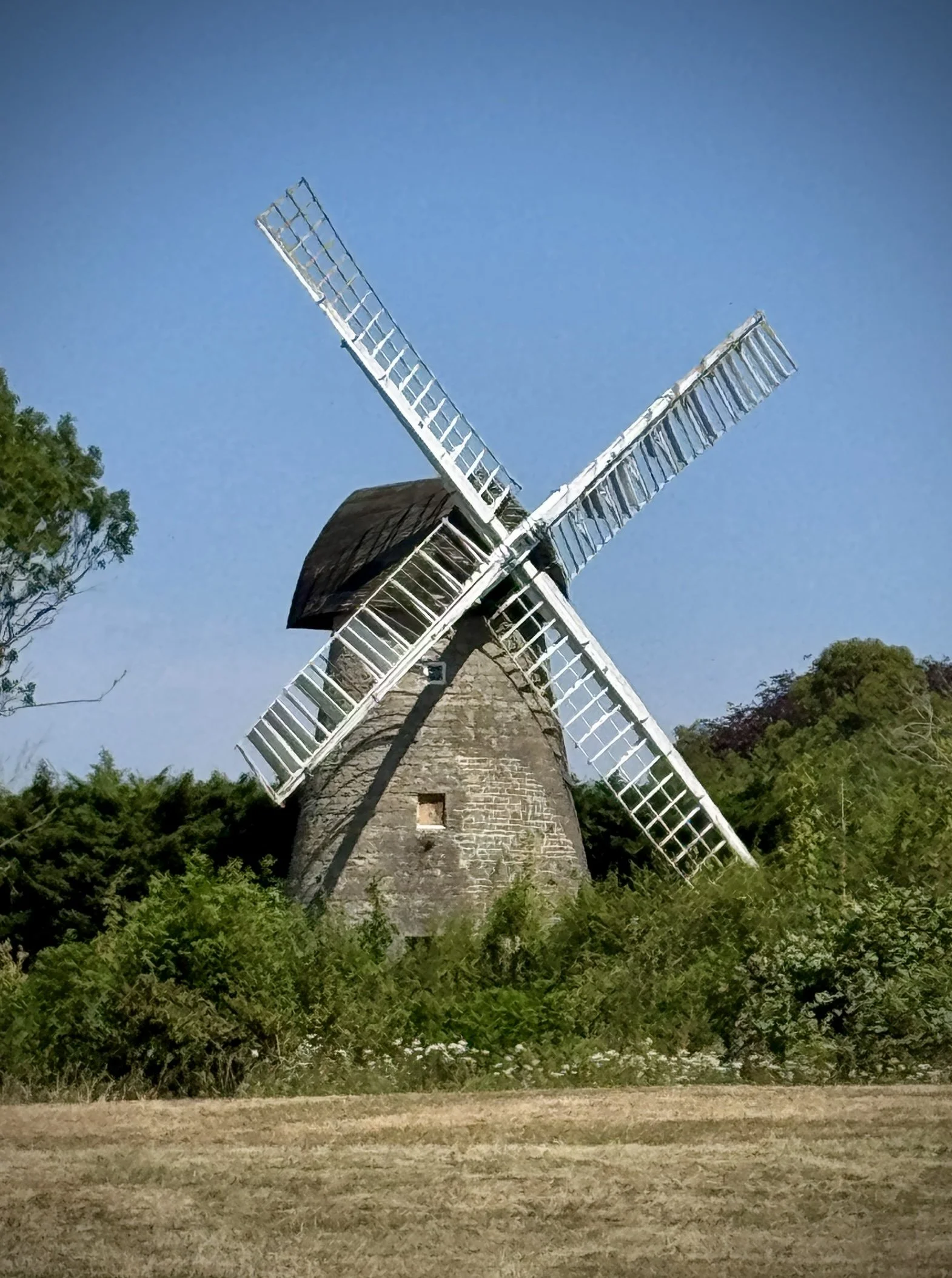
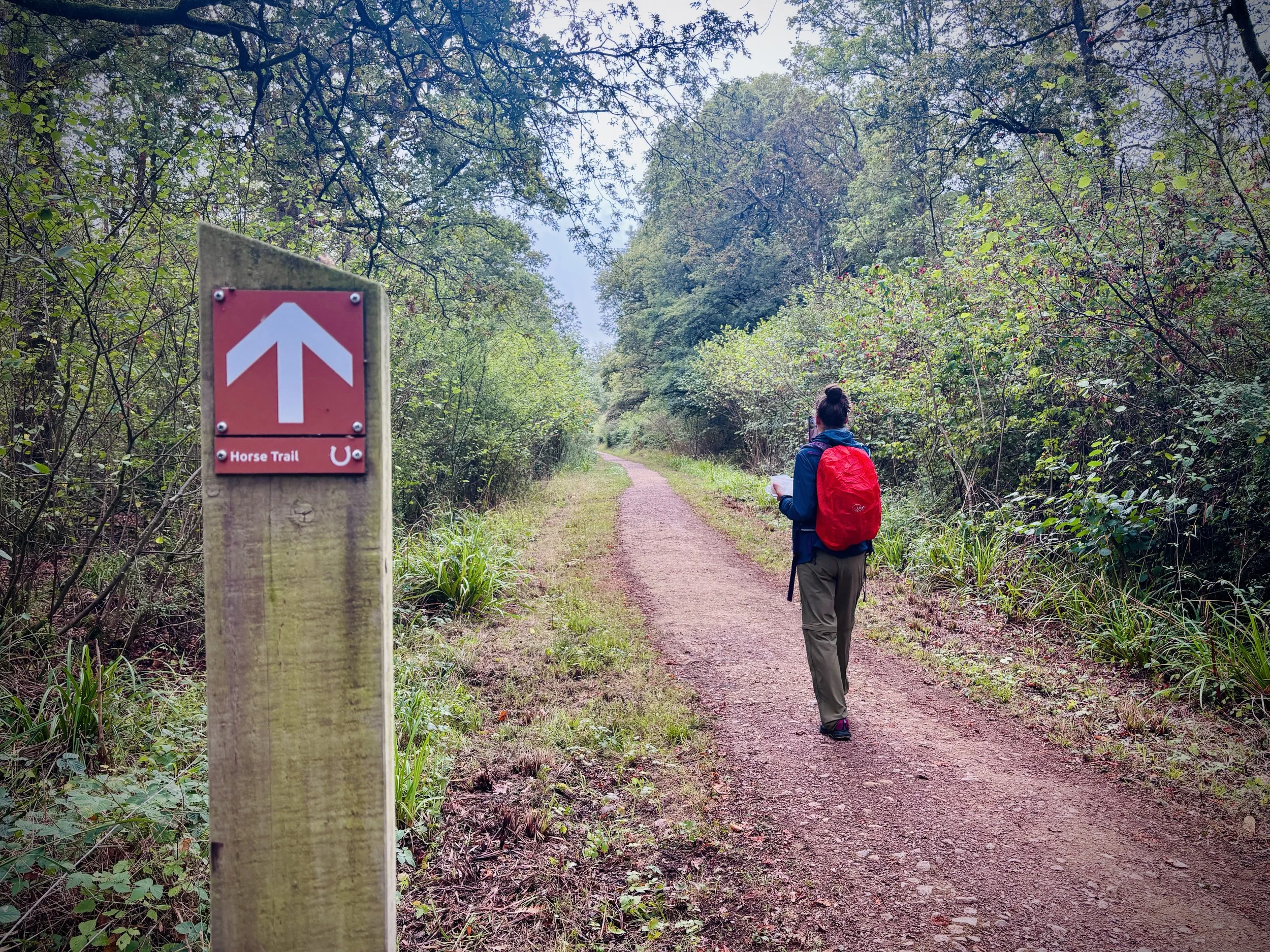
Along the disused railway by Bradwell windmill, Milton Keynes
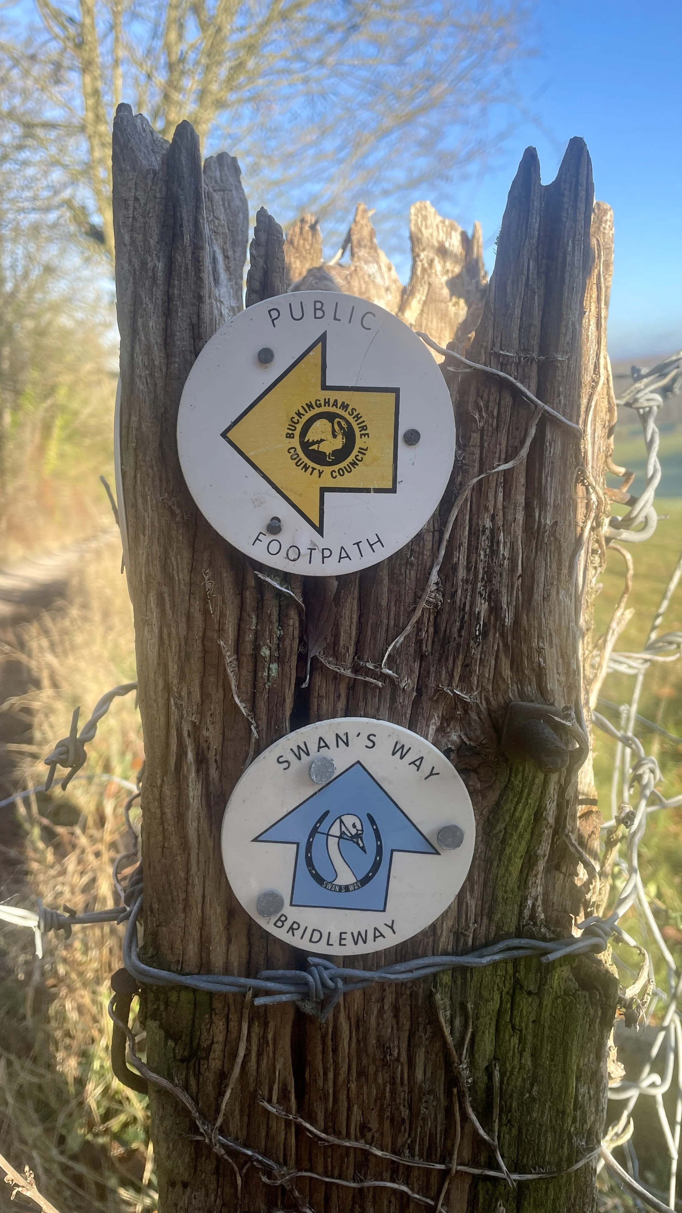
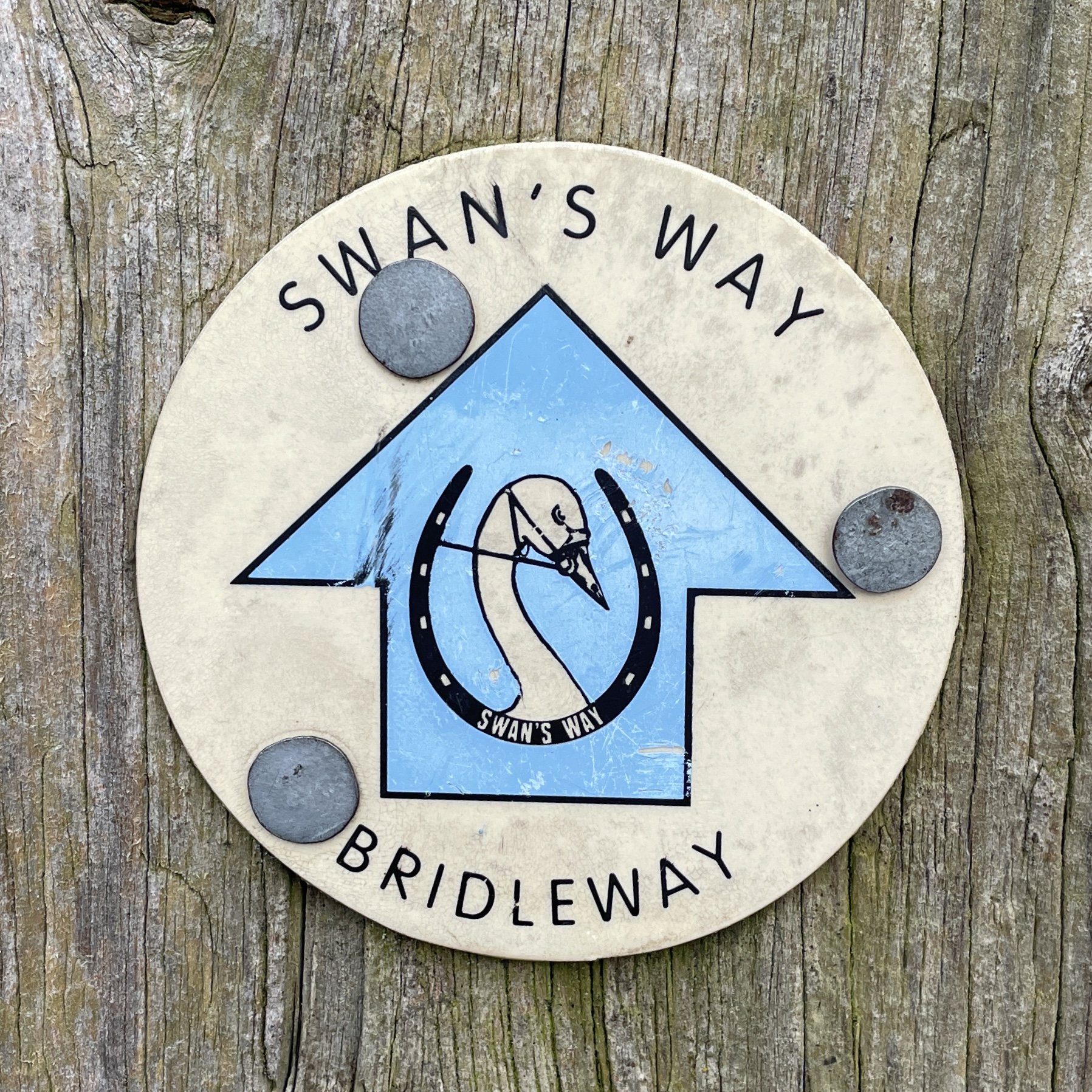
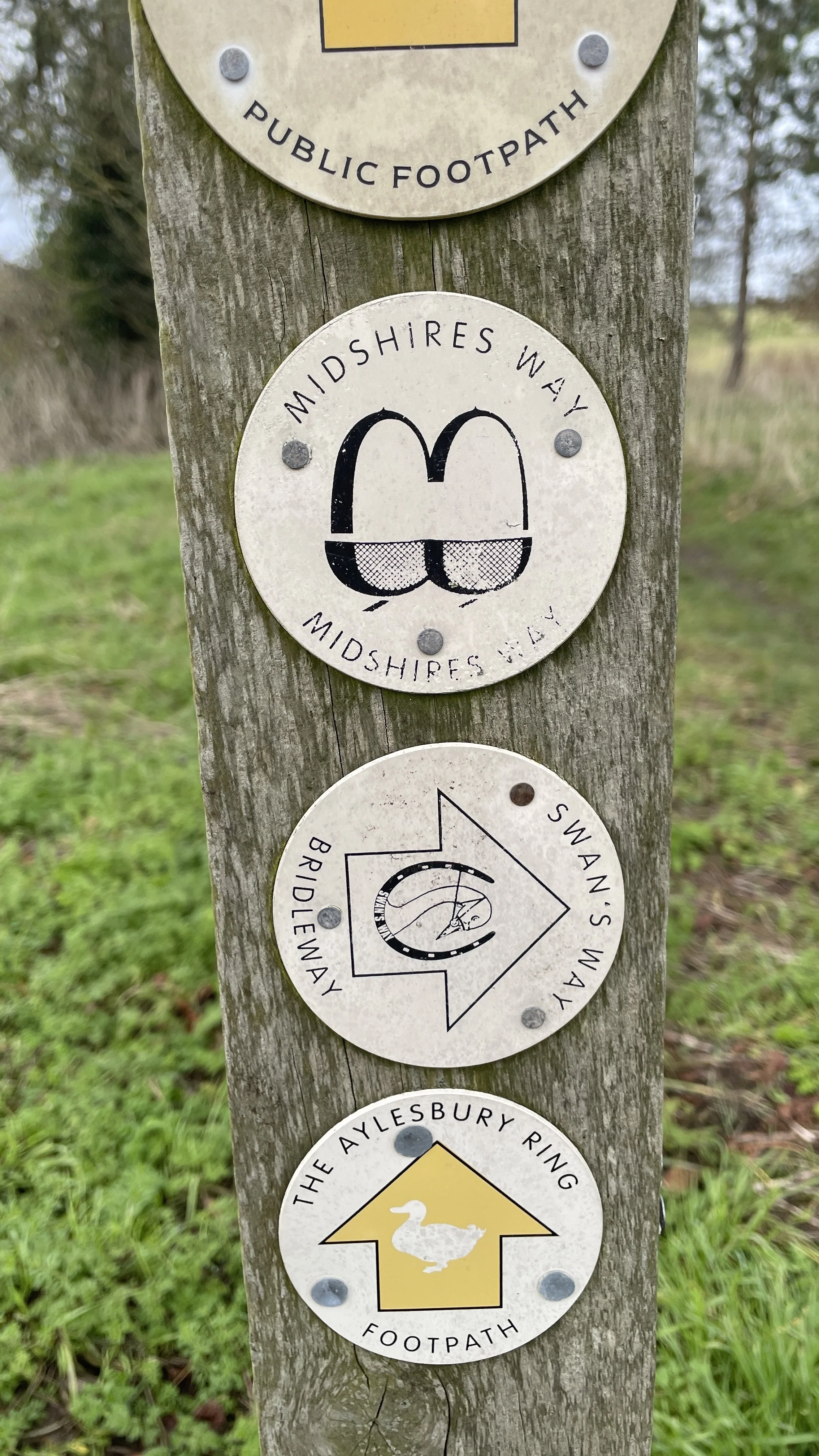
The Midshires Way is a 225-mile (362 km) trail that journeys through the rural heart of Middle England, linking the Ridgeway National Trail at Bledlow in the south to the Trans Pennine Trail at Stockport in the north. Opened in 1994, this route traverses several counties, including Buckinghamshire, Northamptonshire, Leicestershire, Nottinghamshire, Derbyshire, and Greater Manchester, following a scenic tapestry of ancient bridleways, quiet country lanes, and historic canals. In Buckinghamshire, the Midshires Way has a significant connection with the Swan's Way (often referred to as the Swan Way), a 65-mile long-distance bridleway. Essentially, the Swan's Way forms the backbone of the Buckinghamshire section of the Midshires Way, with the two routes being broadly coincident for approximately 50 miles between Salcey Forest and Bledlow. While the Swan's Way strictly adheres to bridleways to accommodate horse riders and cyclists, the Midshires Way sometimes offers alternative waymarked footpaths for walkers to avoid on-road sections.
We walked the Chilterns part of the Mishires Way in 17 sections over a 8 months in 2026. Each section was a circular walk of between 8 and 14 km of which part was along the Midshires with a return to the start along other nearby footpaths.
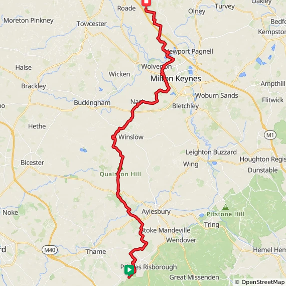
Point to Point: Walking the Midshires Way in Buckinghamshire
Start: ions Of Bledlow, Church End, Bledlow, Princes Risborough, HP27 9PE
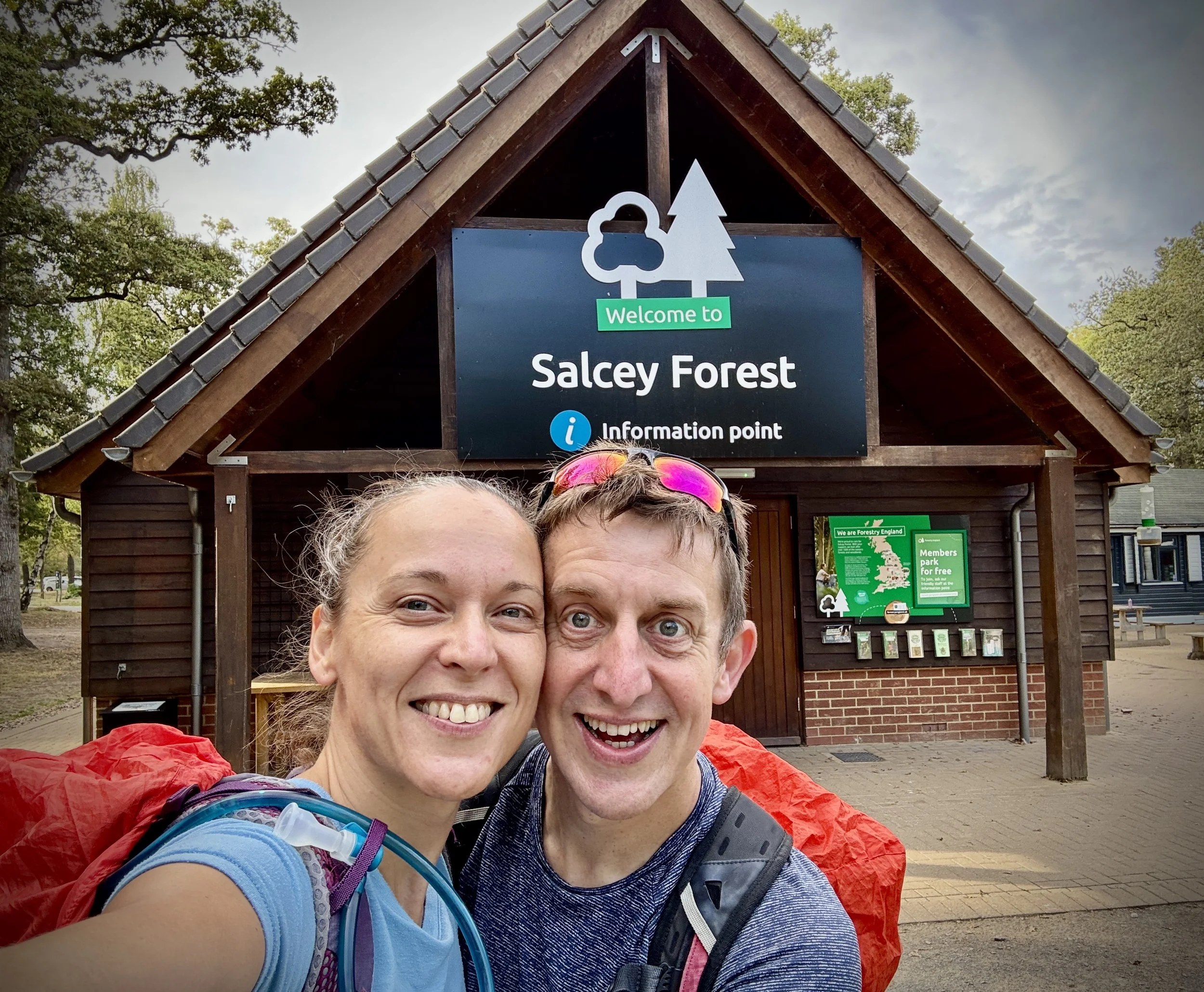
Finish: Salcey Forest Visitor’s Centre, Wootton Rd, Northampton NN7 2HX
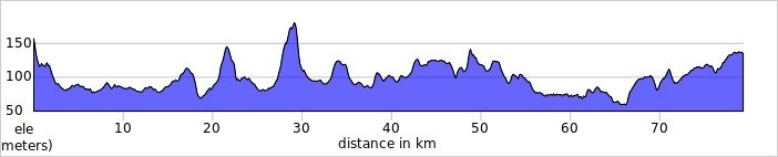
Distance: 80 km (50 miles)
Elevation change: + 647m / - 666m. Net +78m
GPX File: get via Buy Me a Coffee
Maps:
- Chiltern Hills North Map | Aylesbury, Berkhamsted & Chesham | Ordnance Survey | OS Explorer Map 181
- Buckingham & Milton Keynes Map | Leighton Buzzard & Woburn | Ordnance Survey | OS Explorer Map 192
- Newport Pagnell & Northampton South Map | Towcester & Olney | Ordnance Survey | OS Explorer Map 207
See individual section posts linked below for other links.
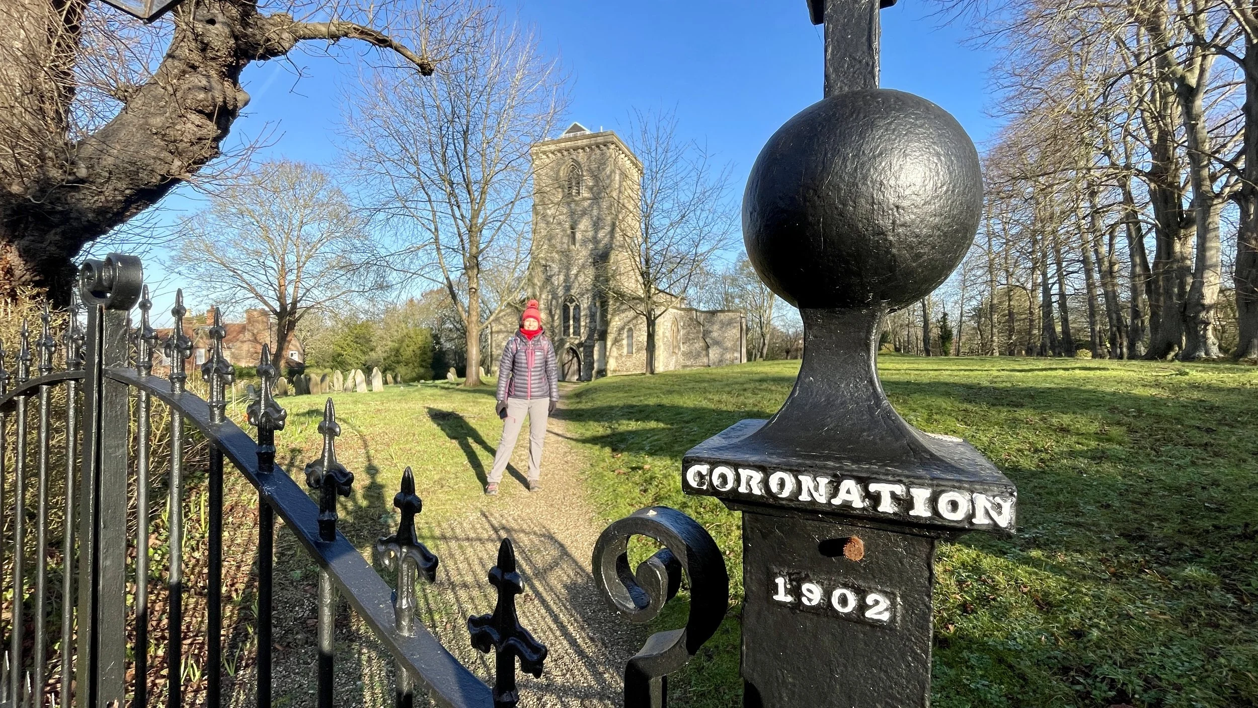
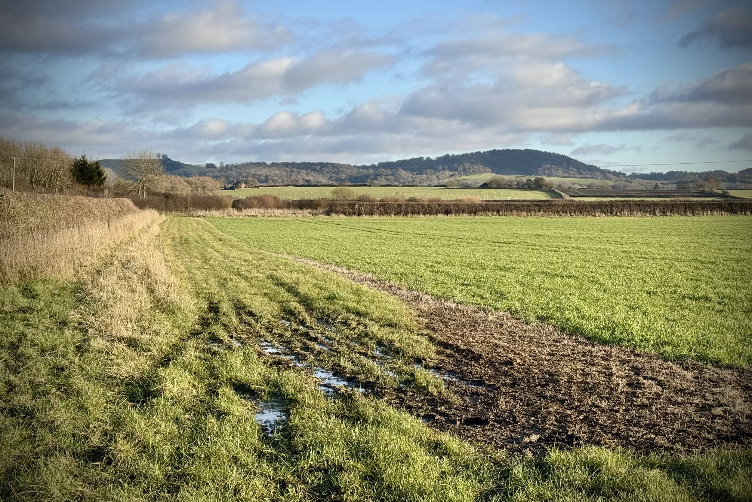
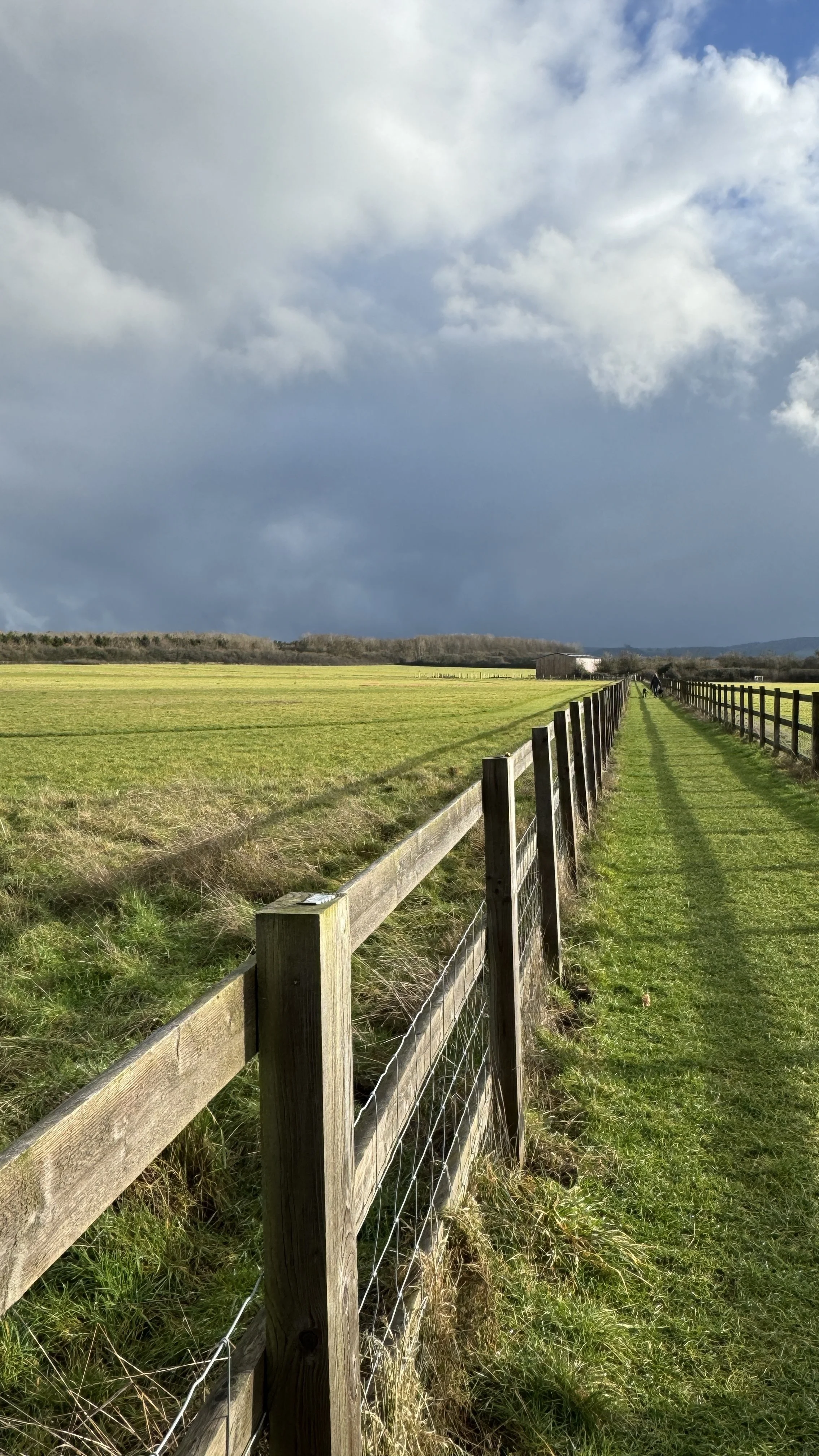
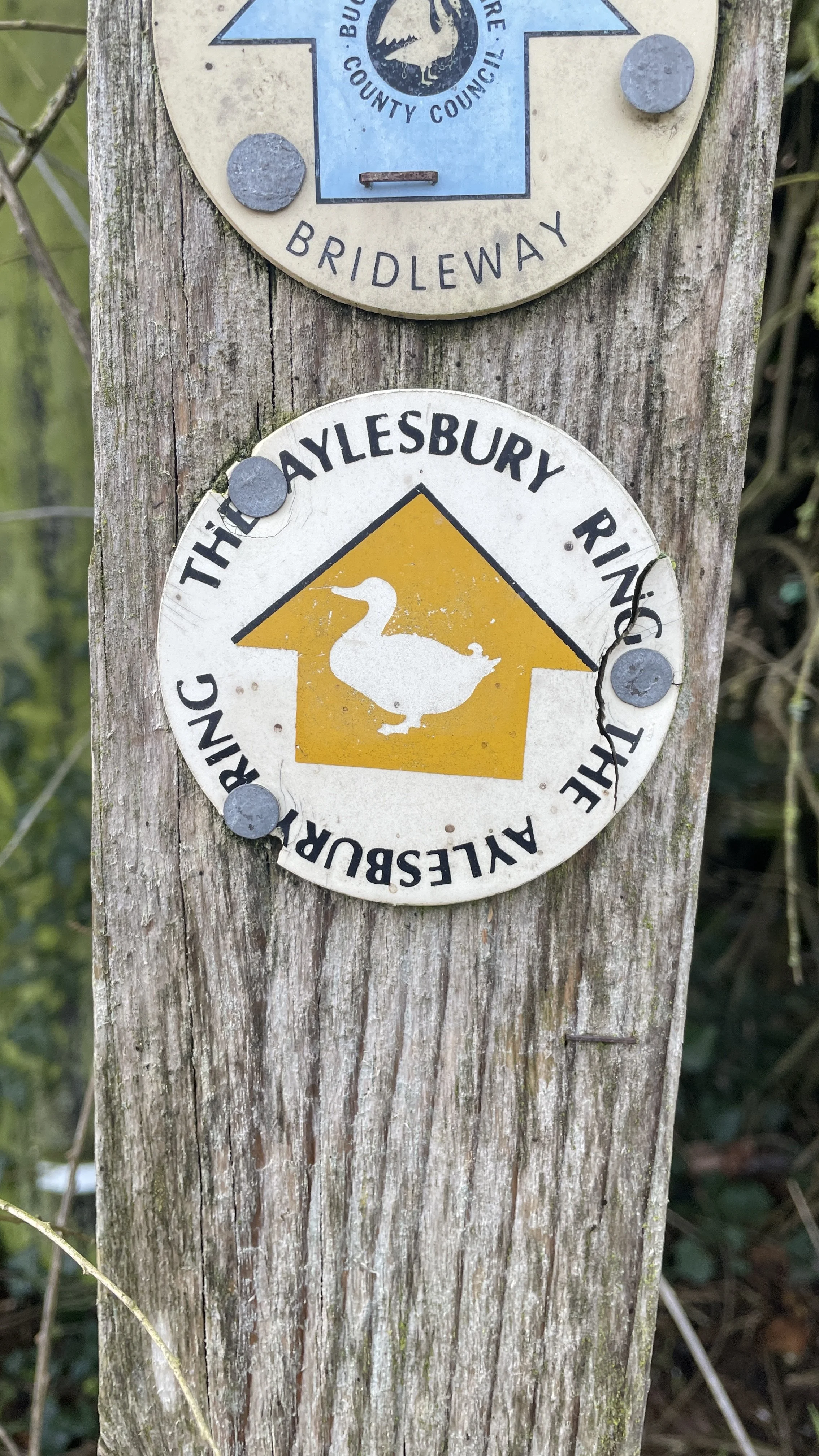
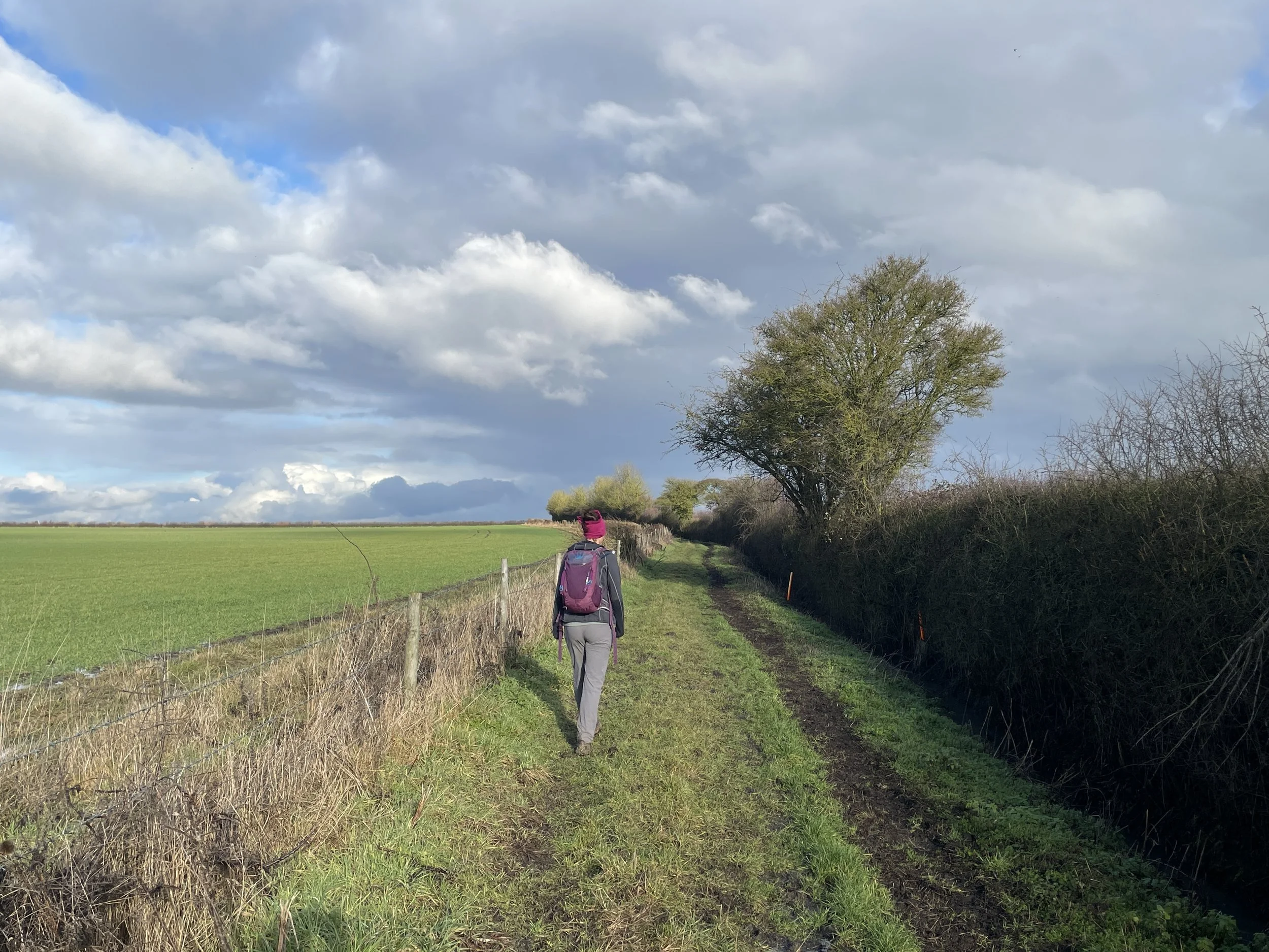
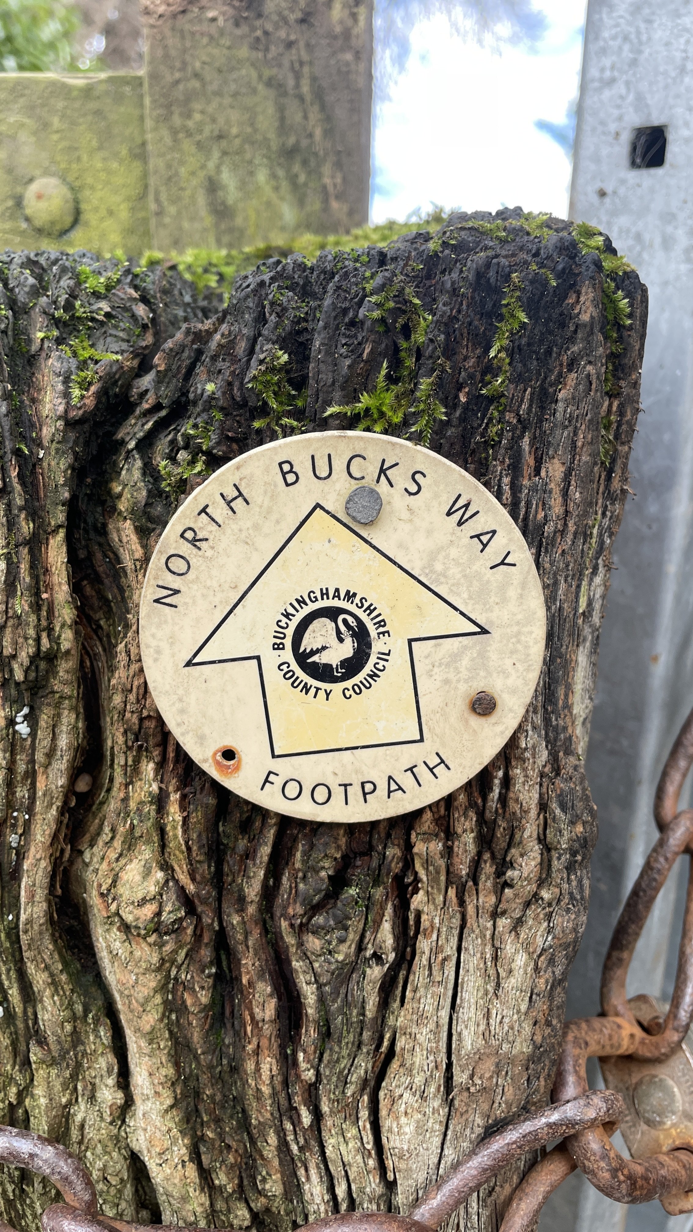
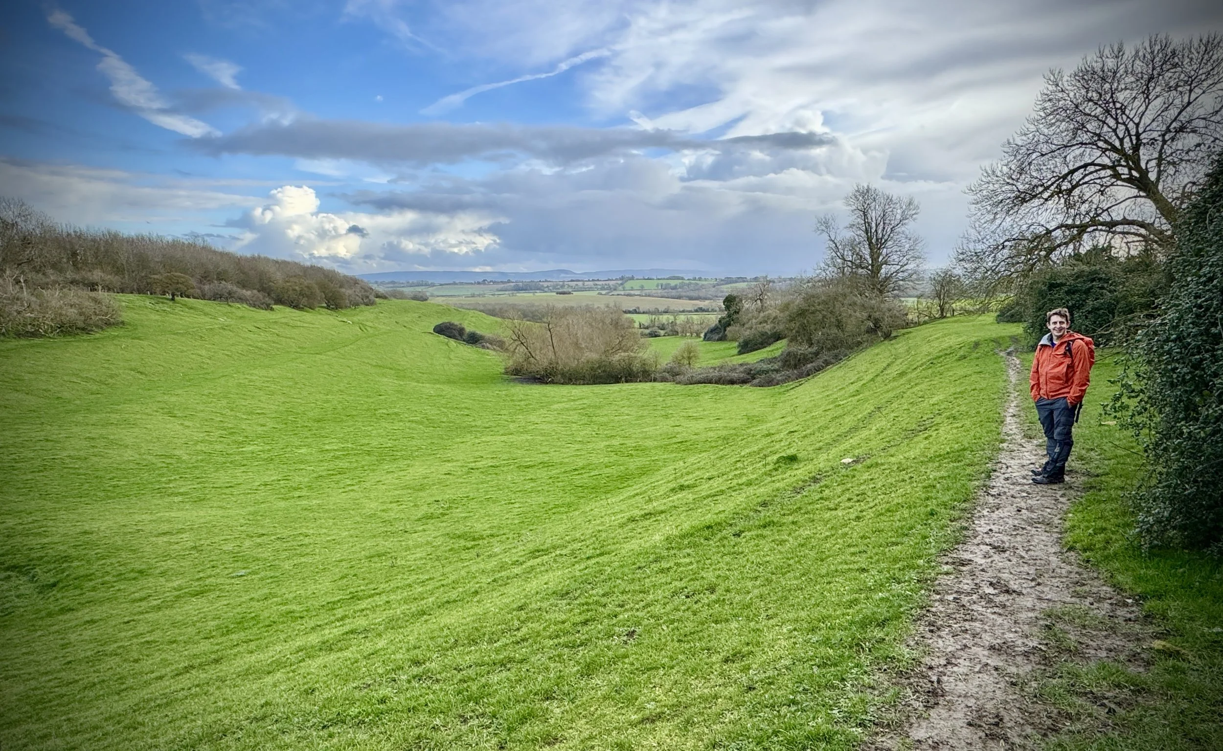
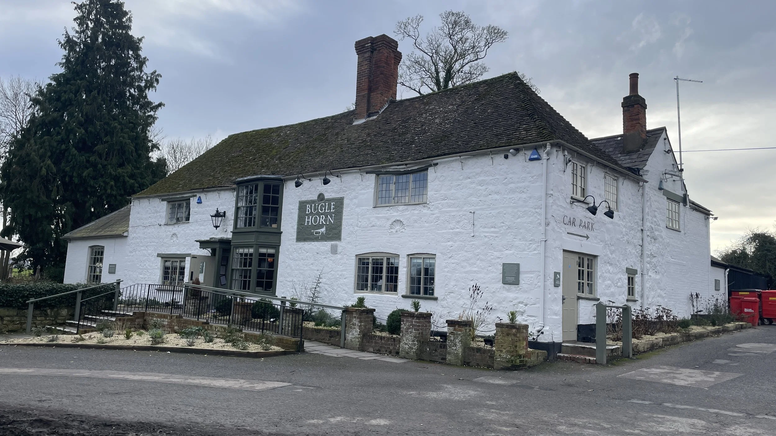
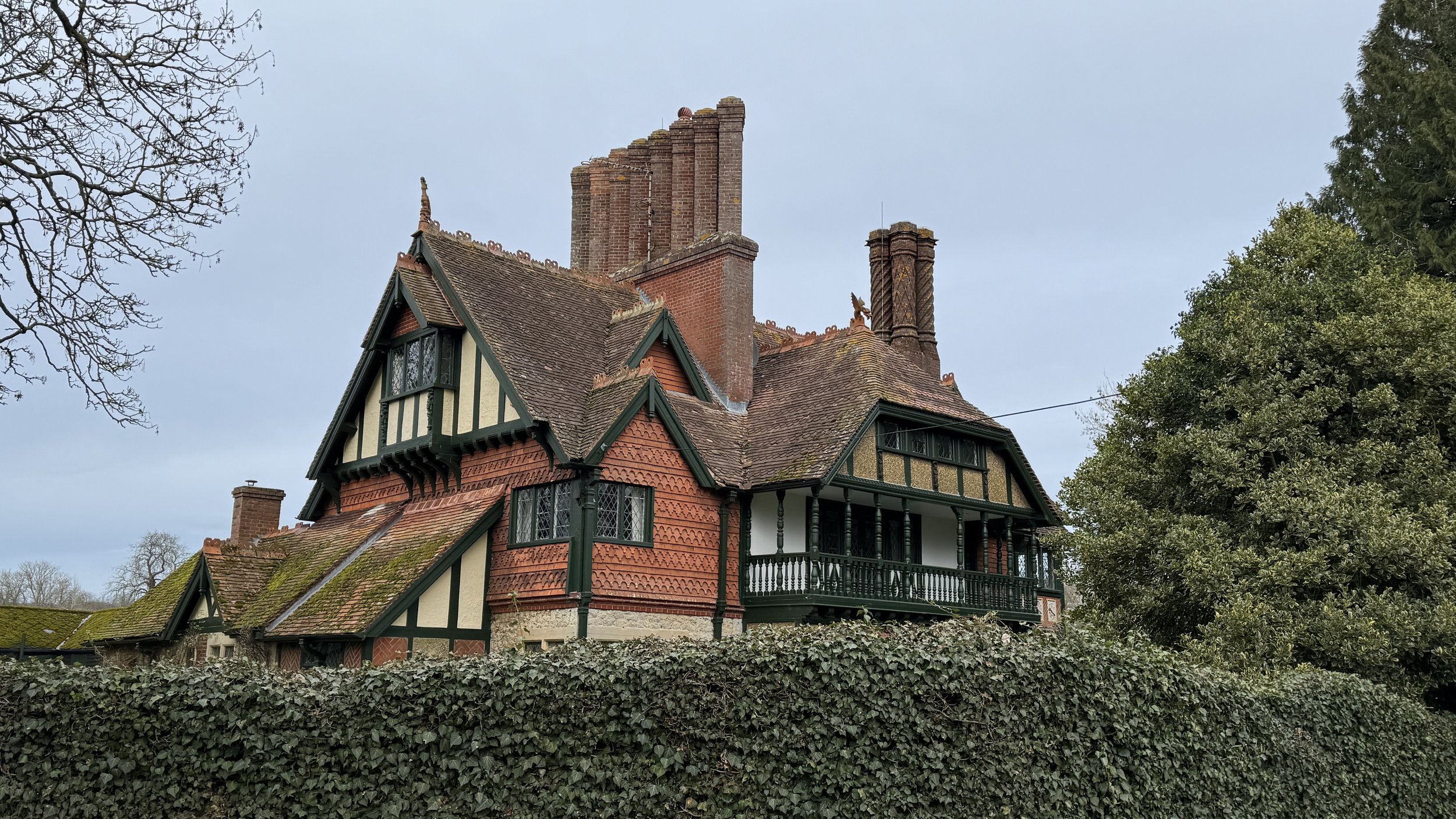
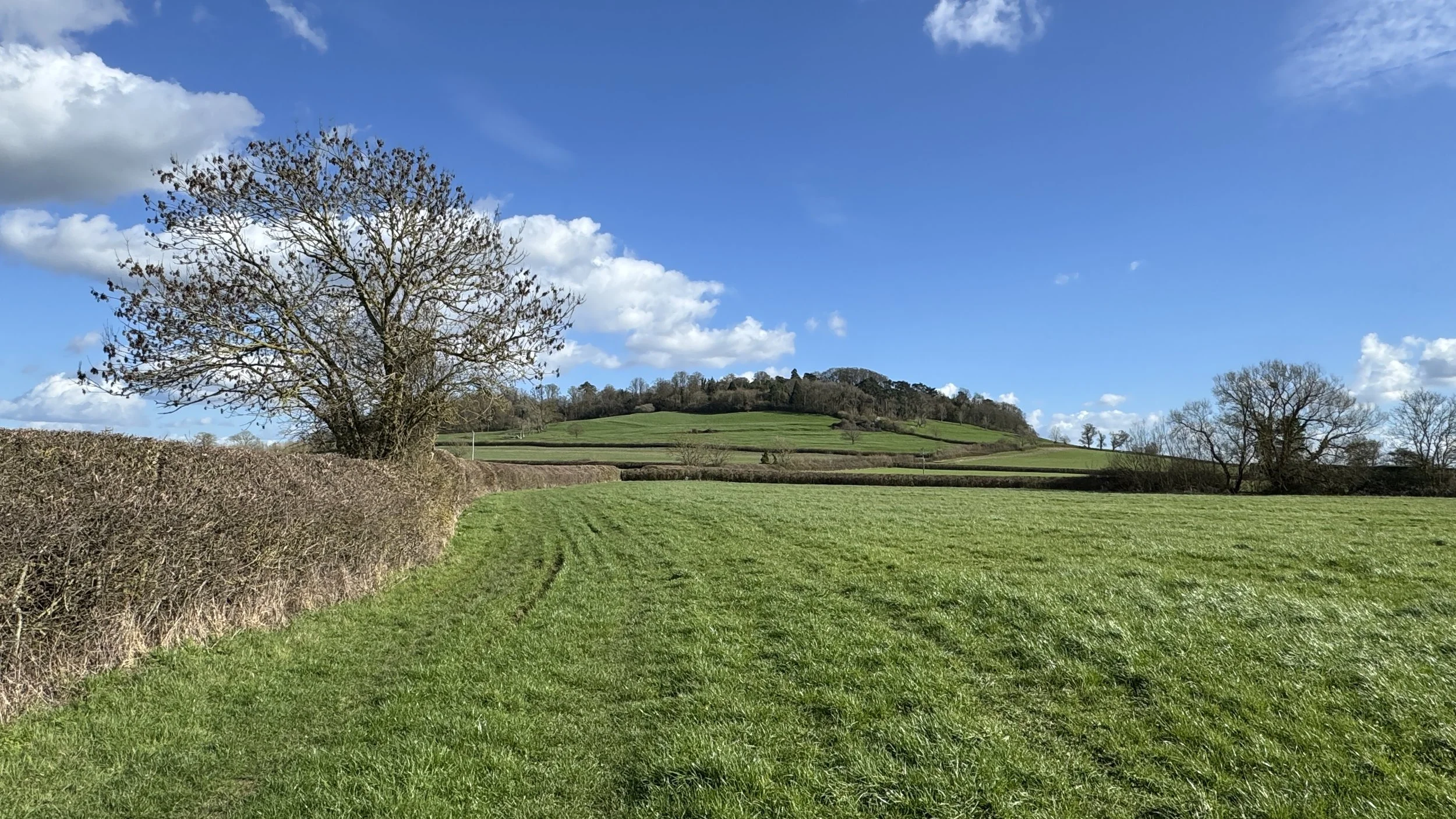
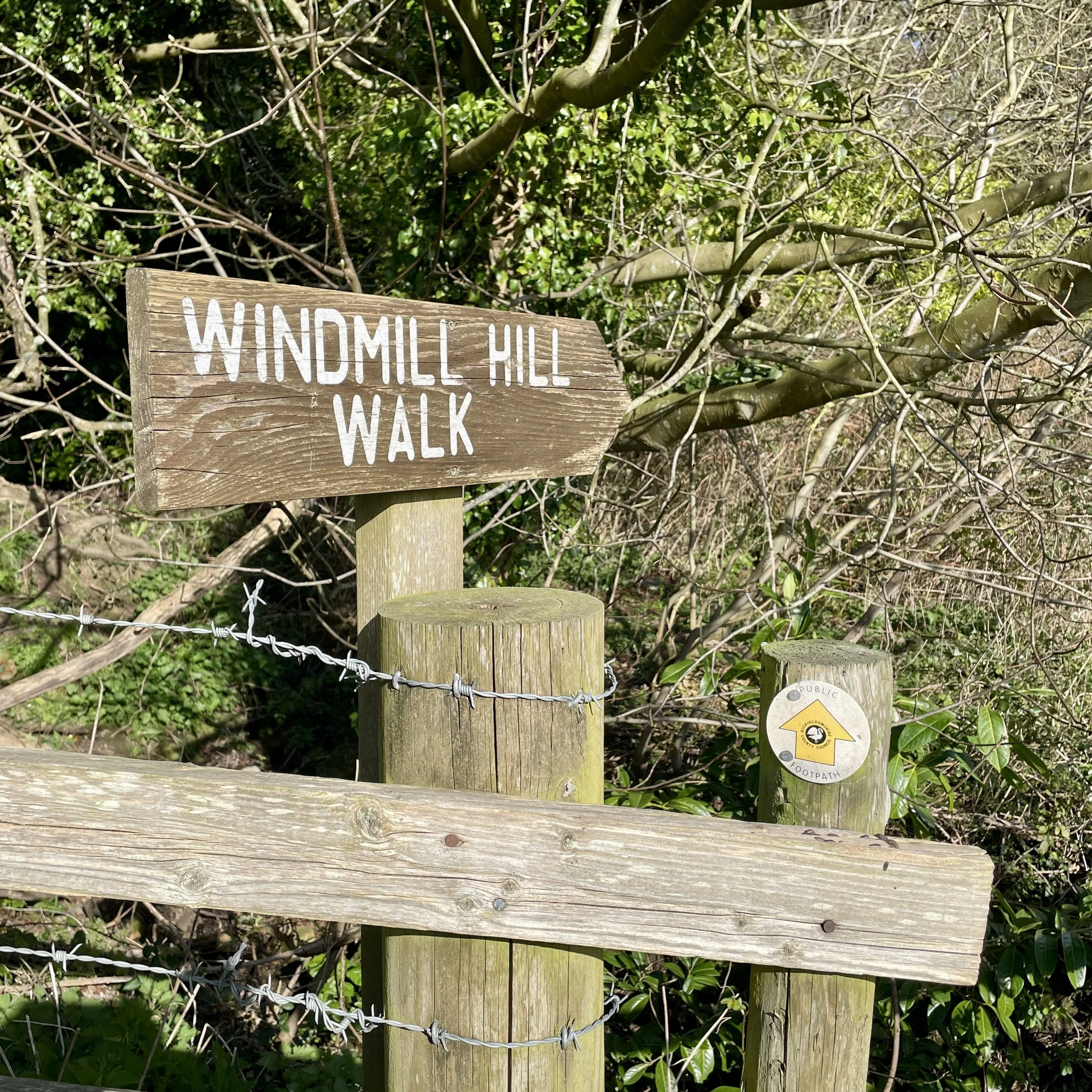
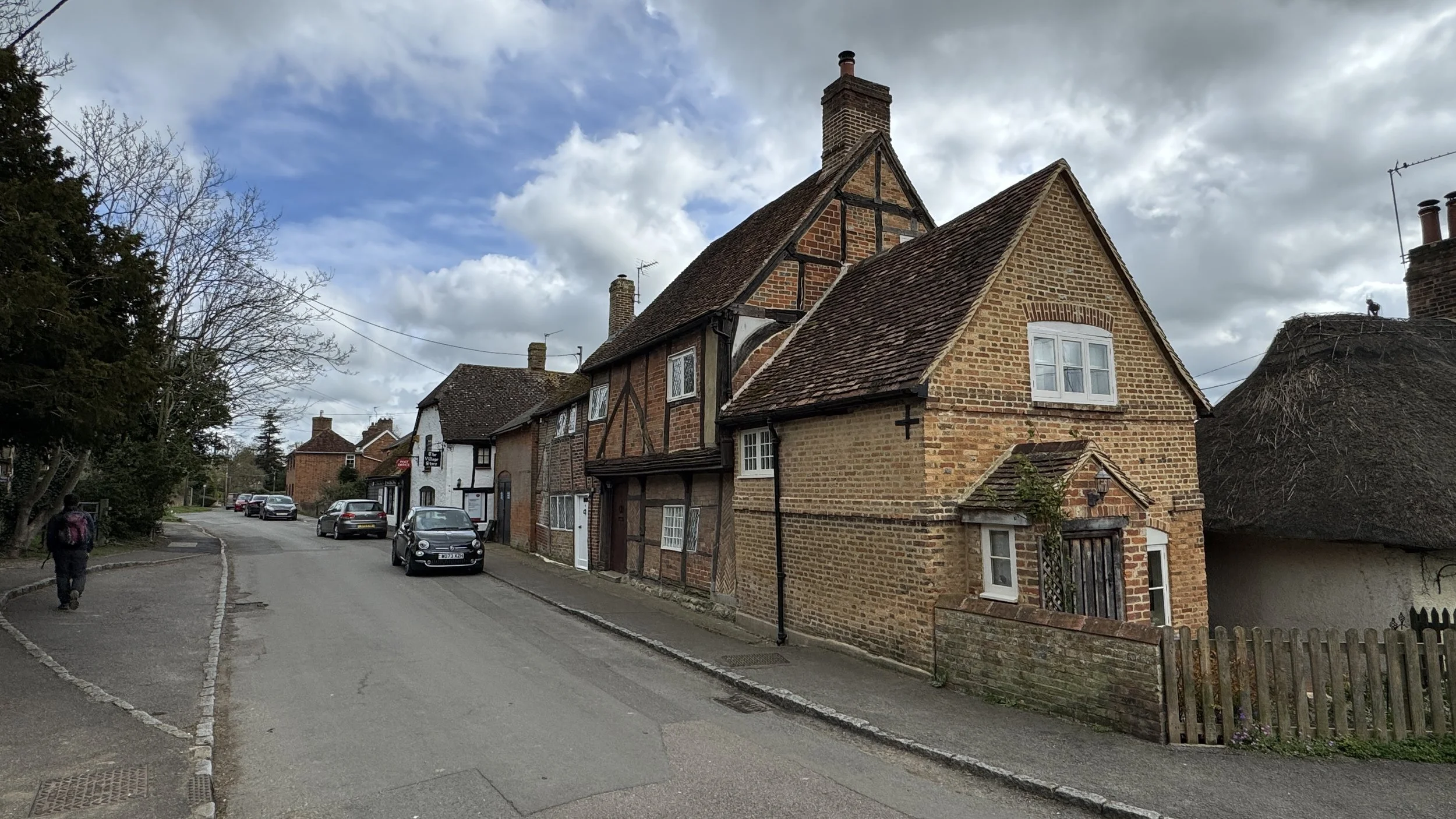
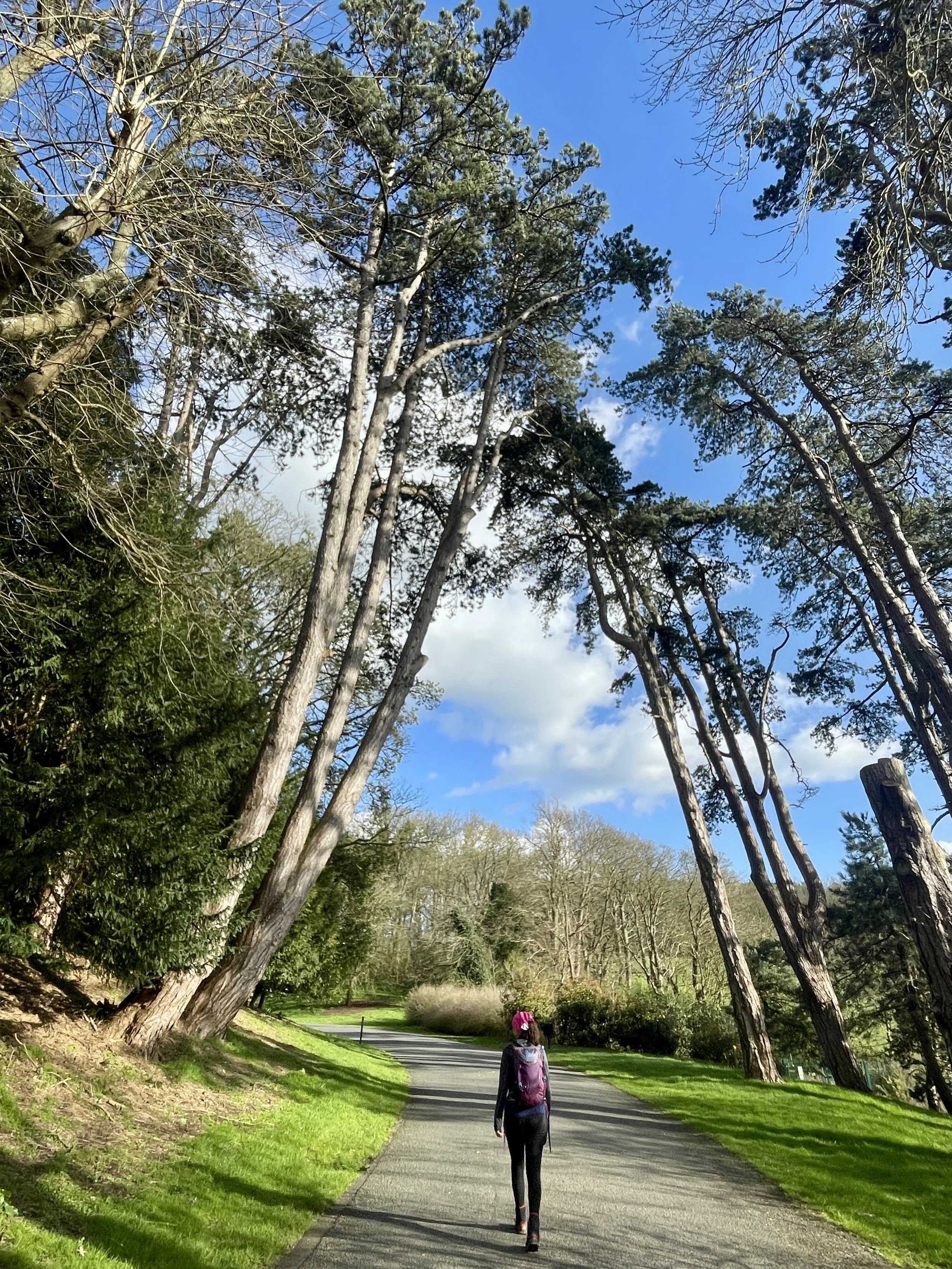
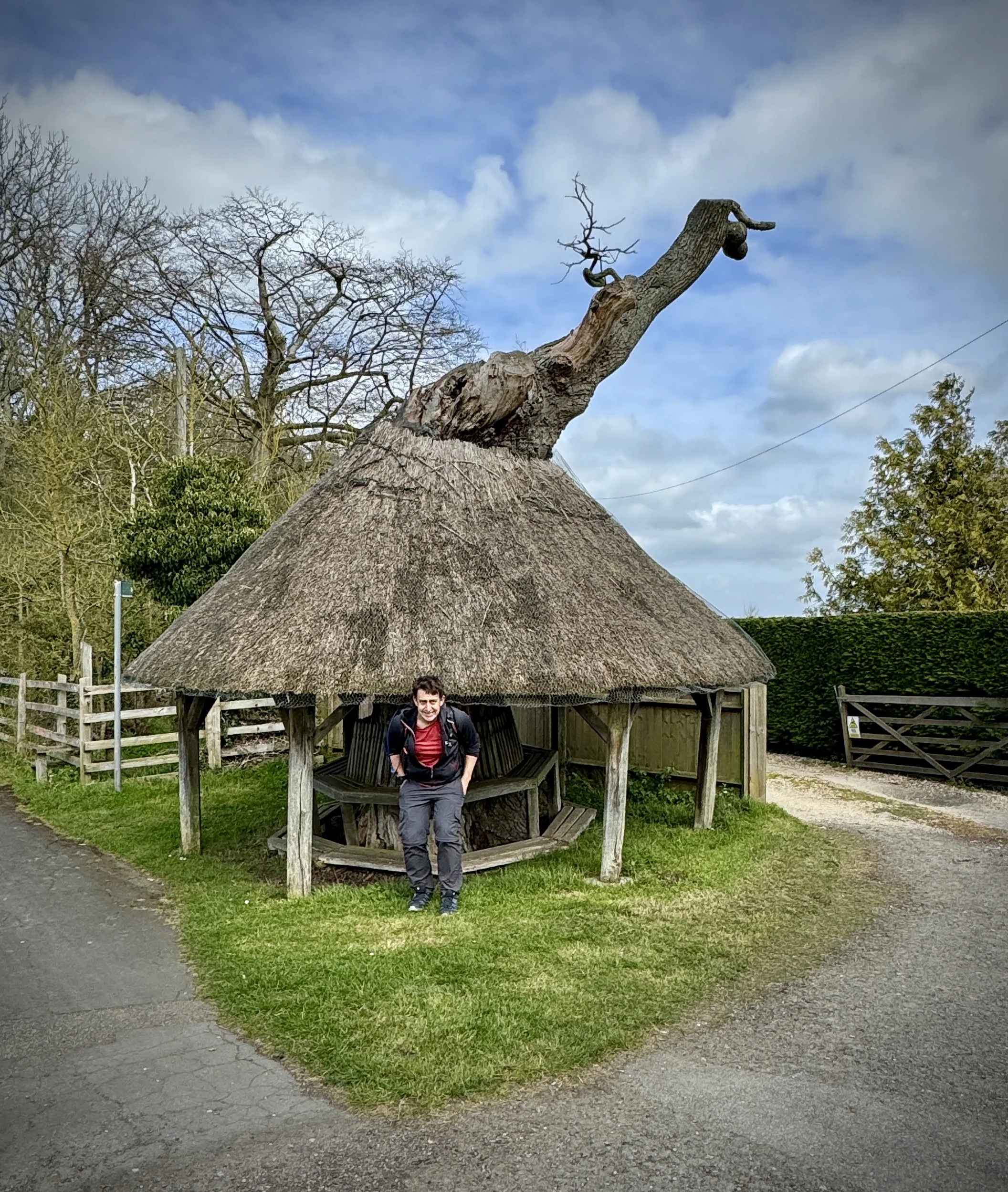
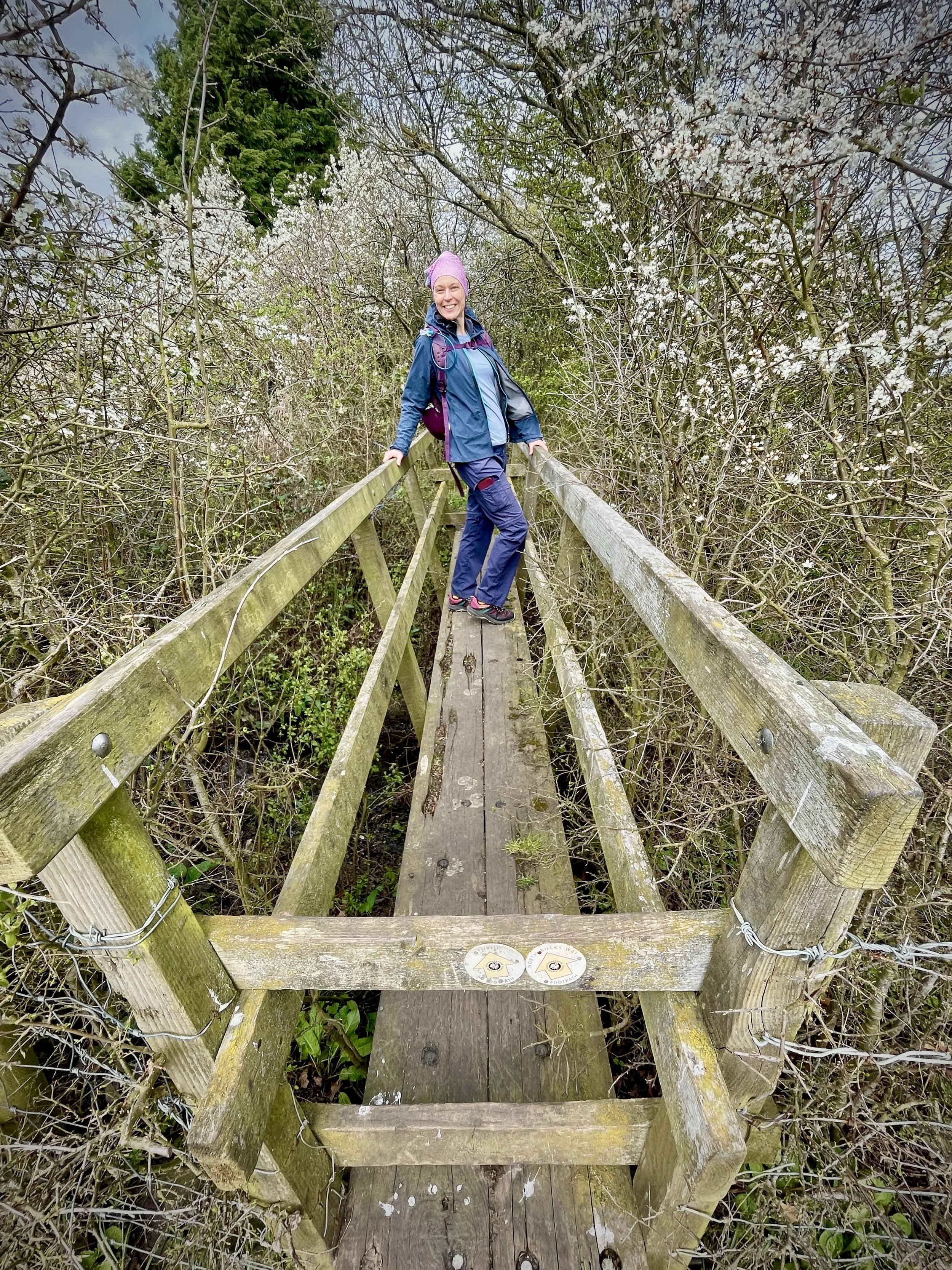
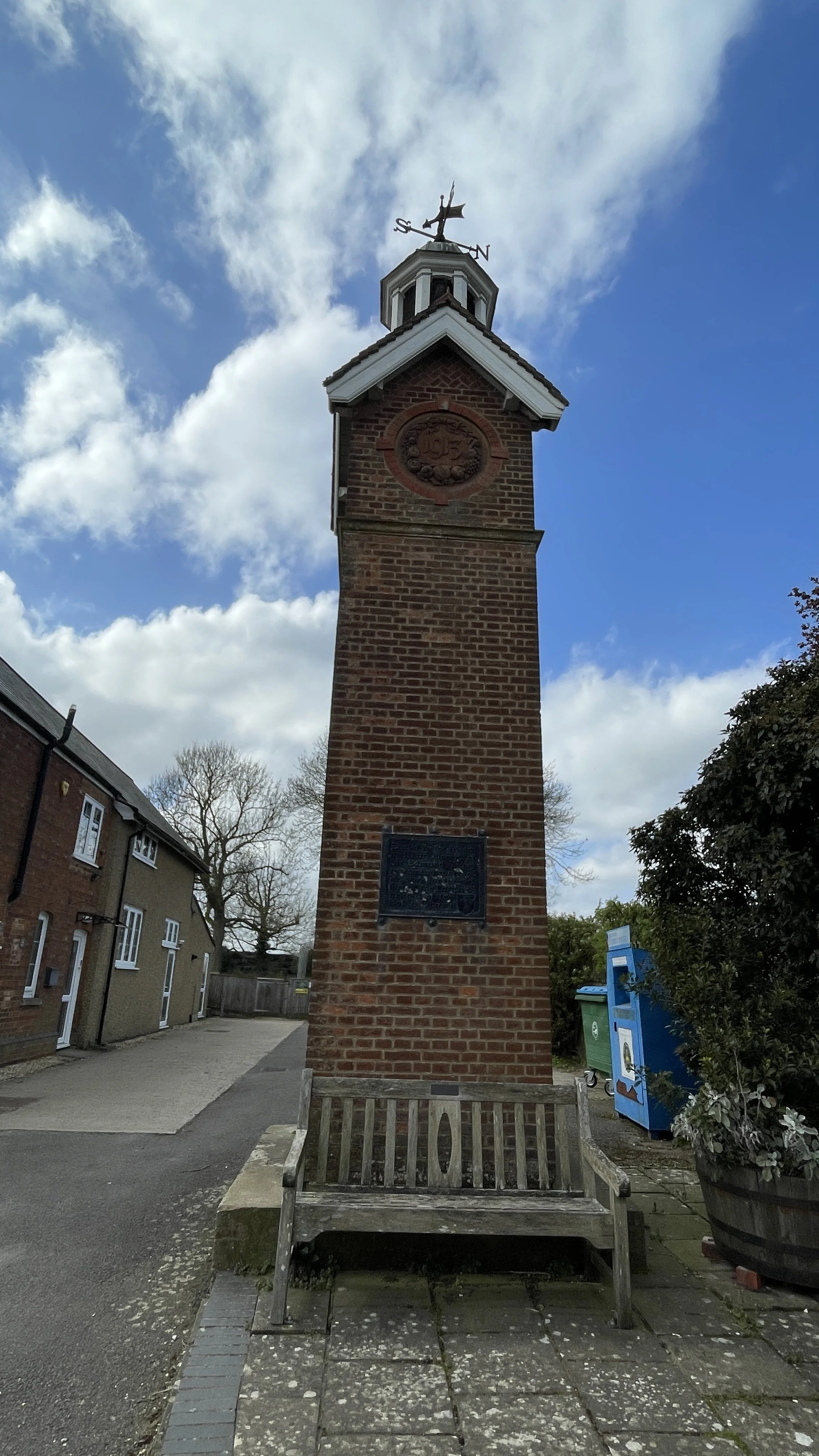
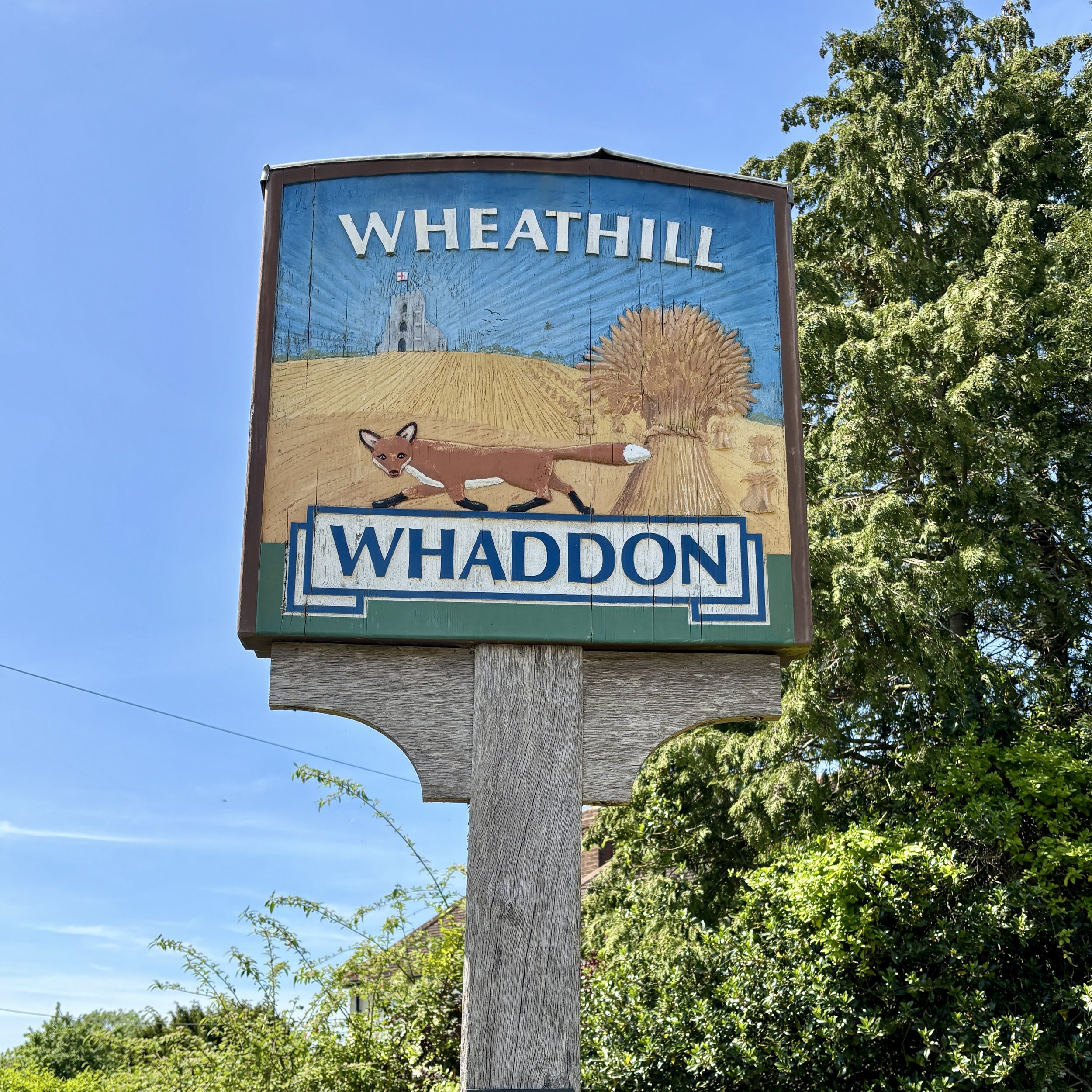
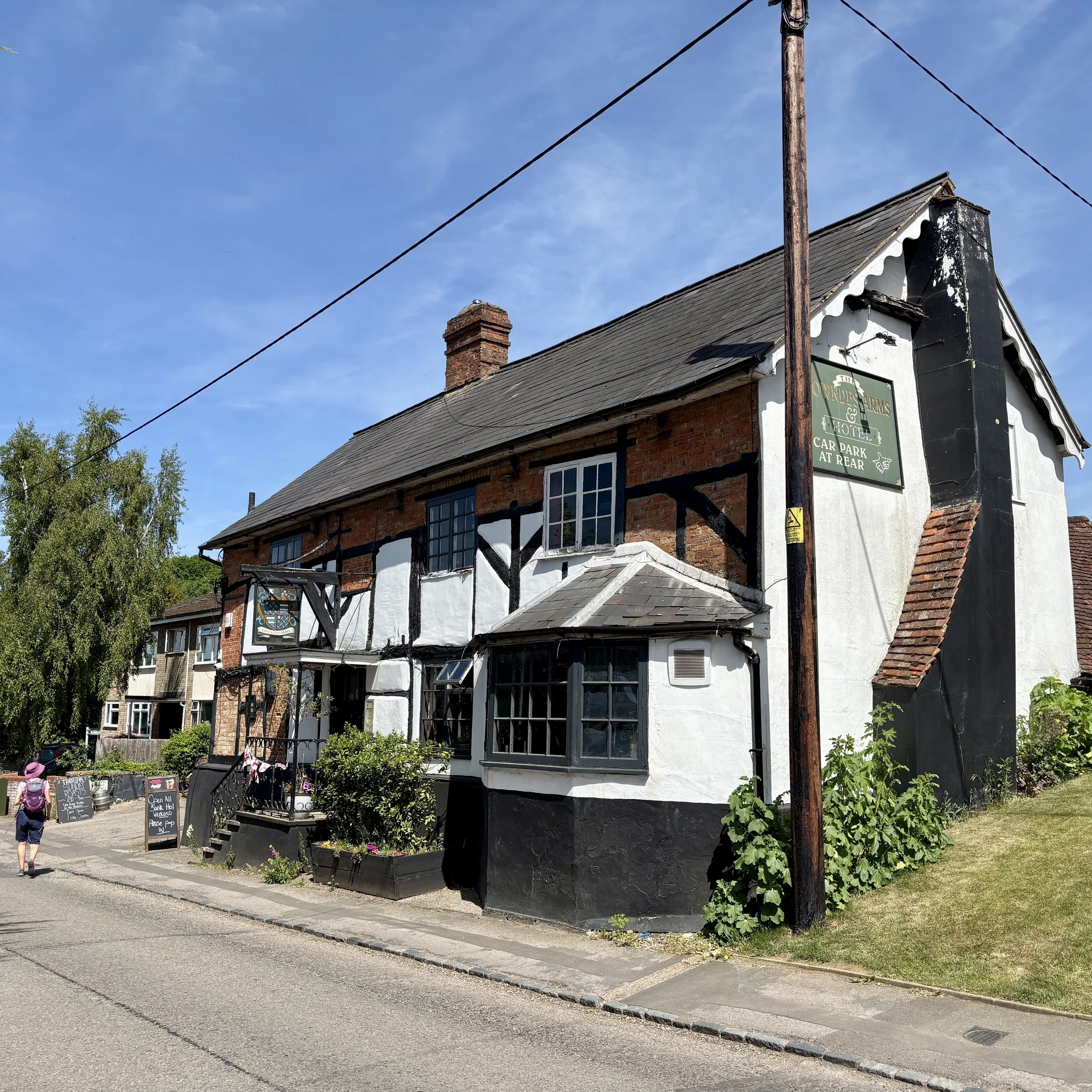
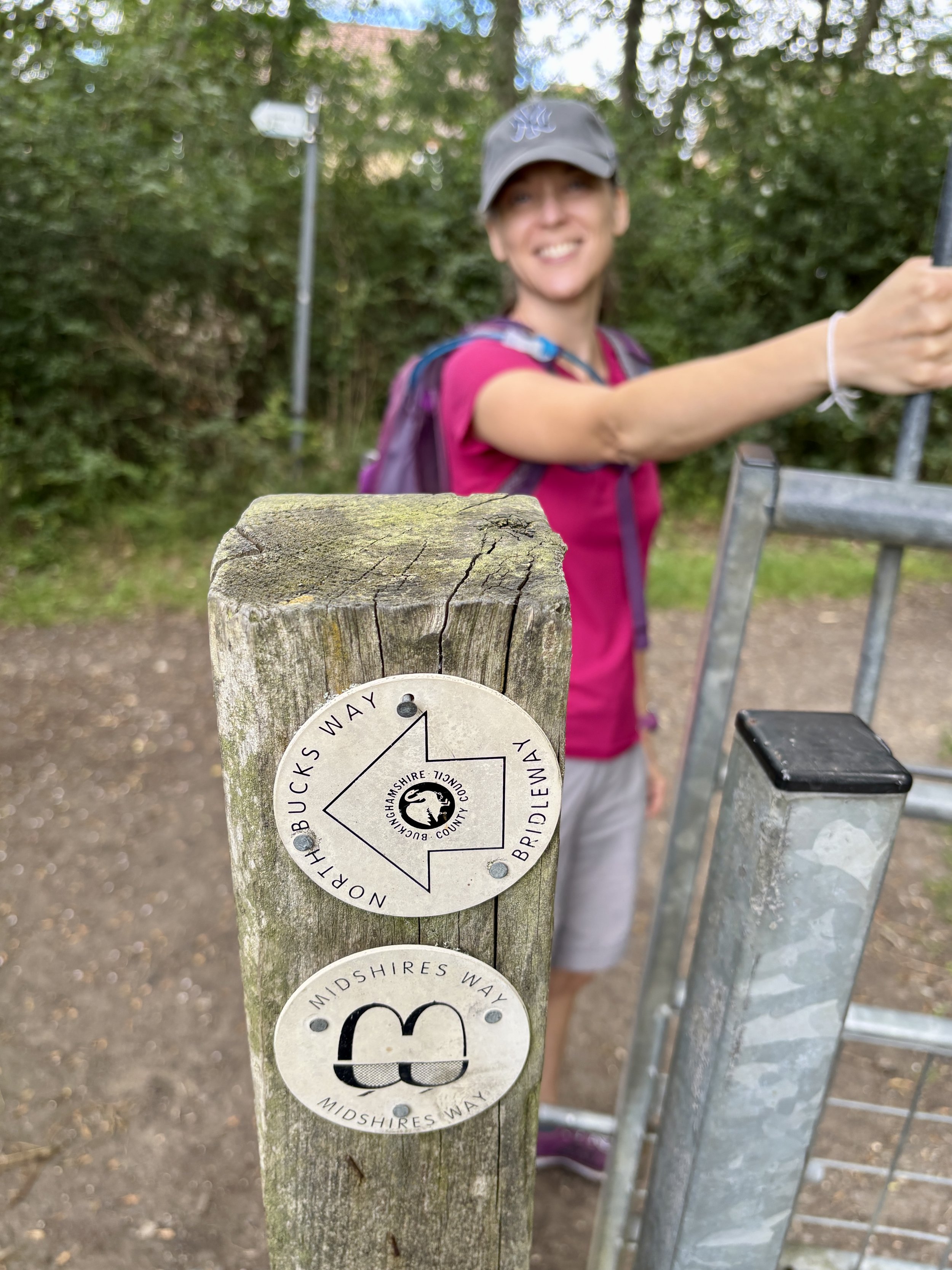
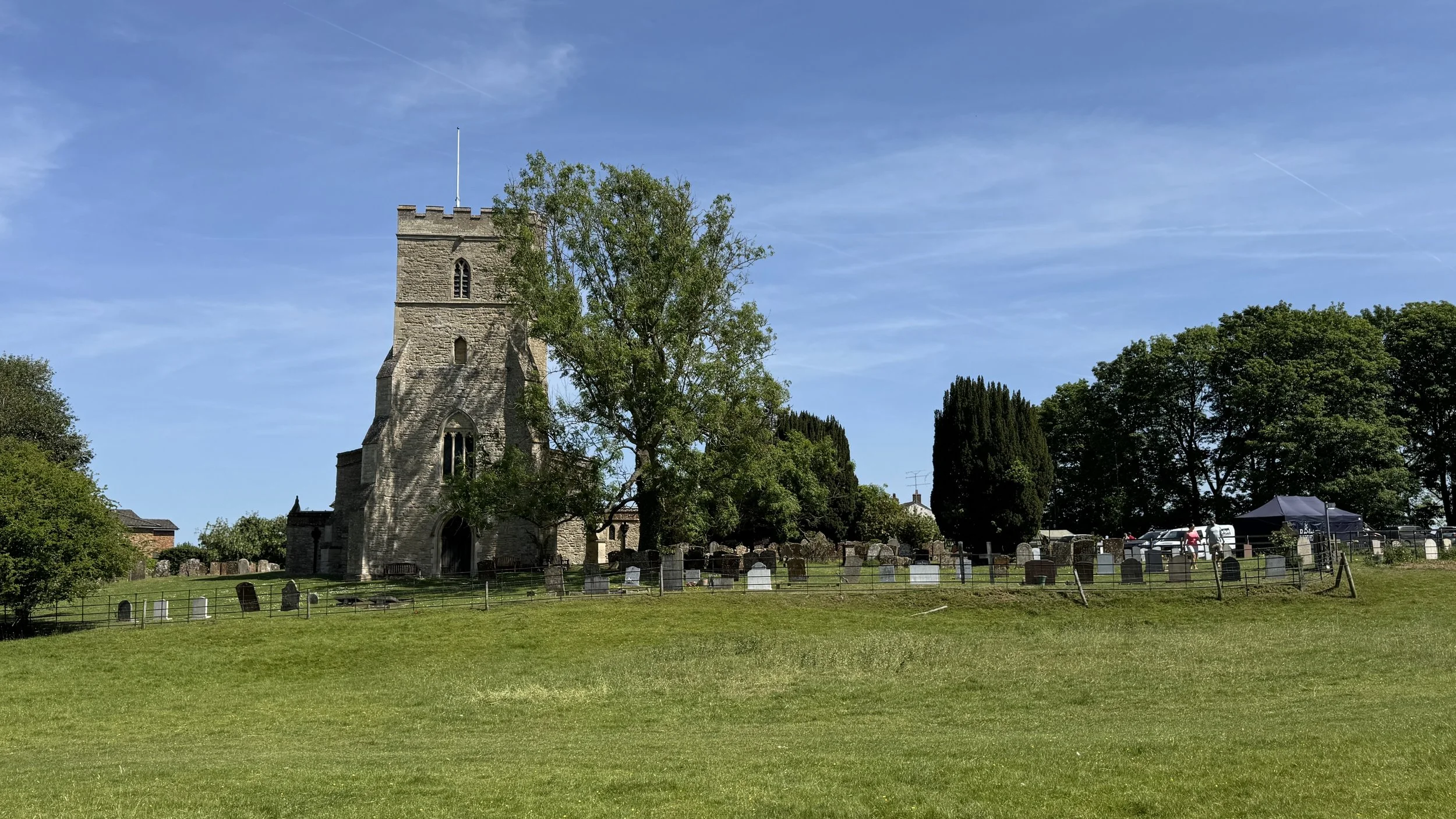
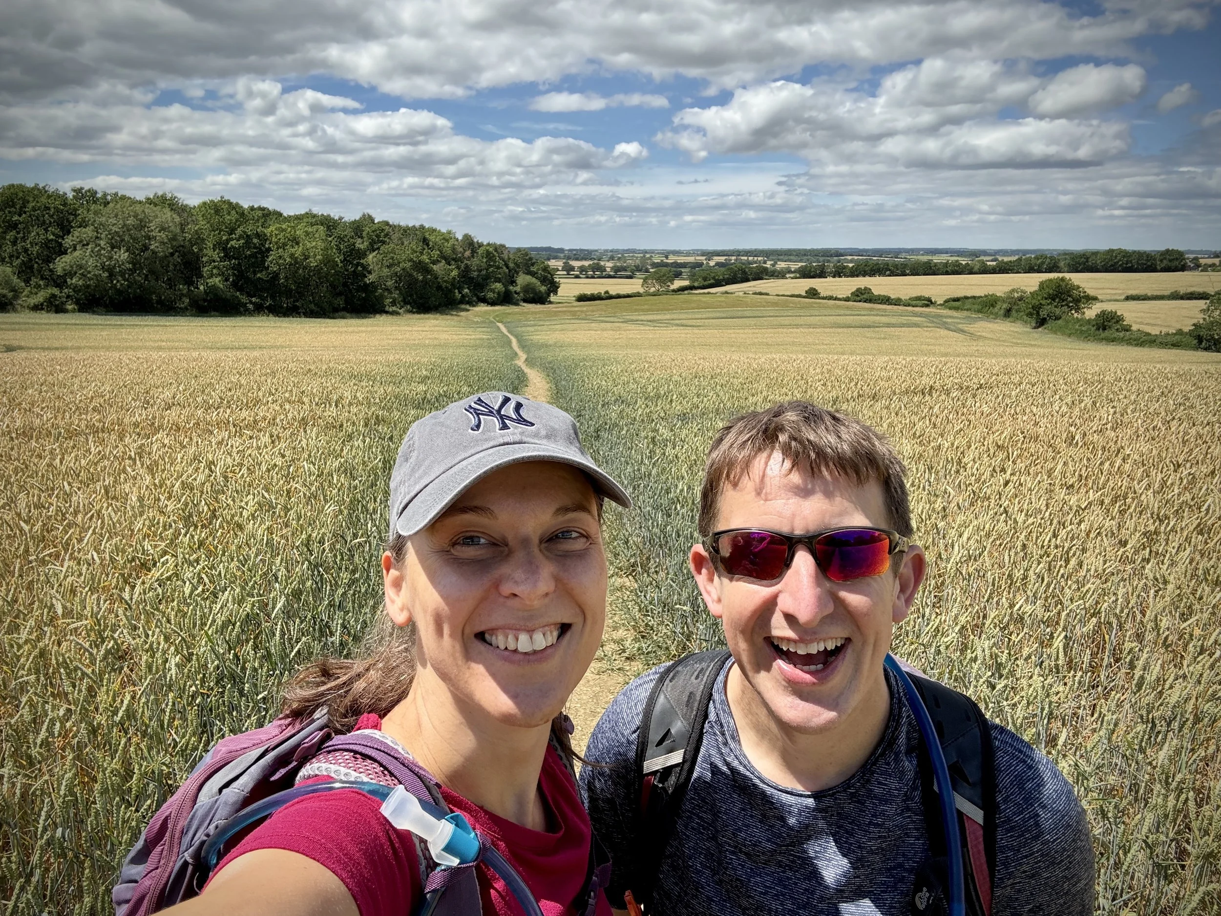
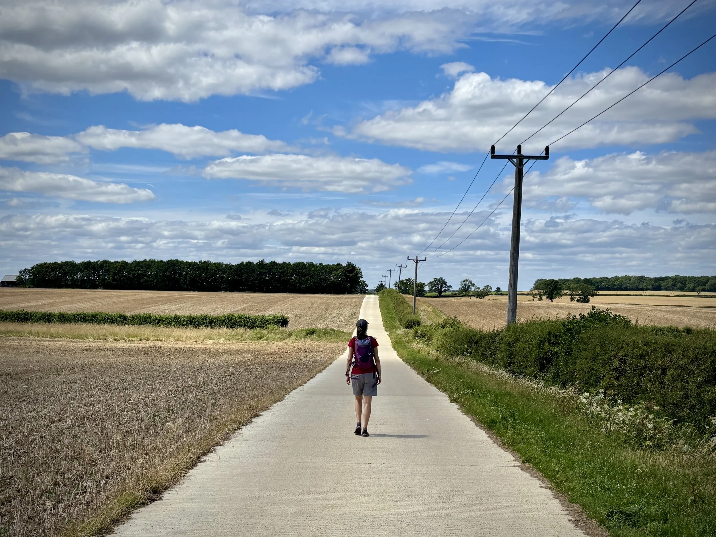
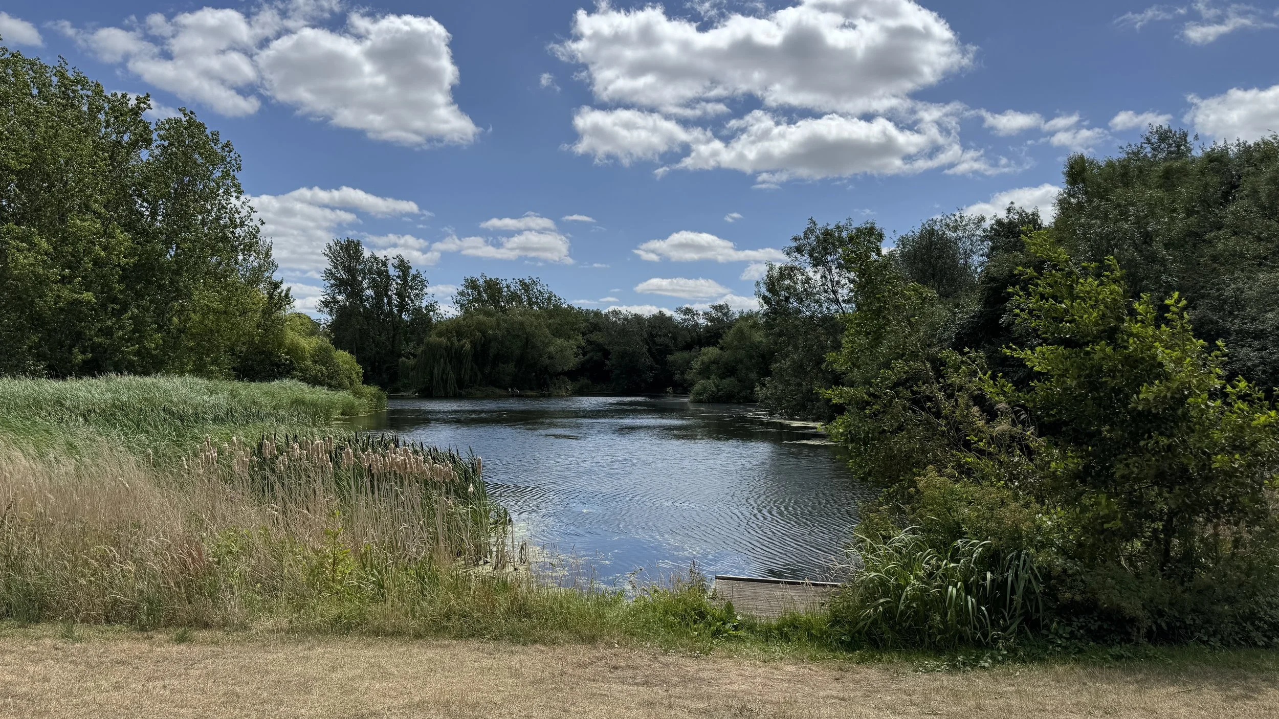
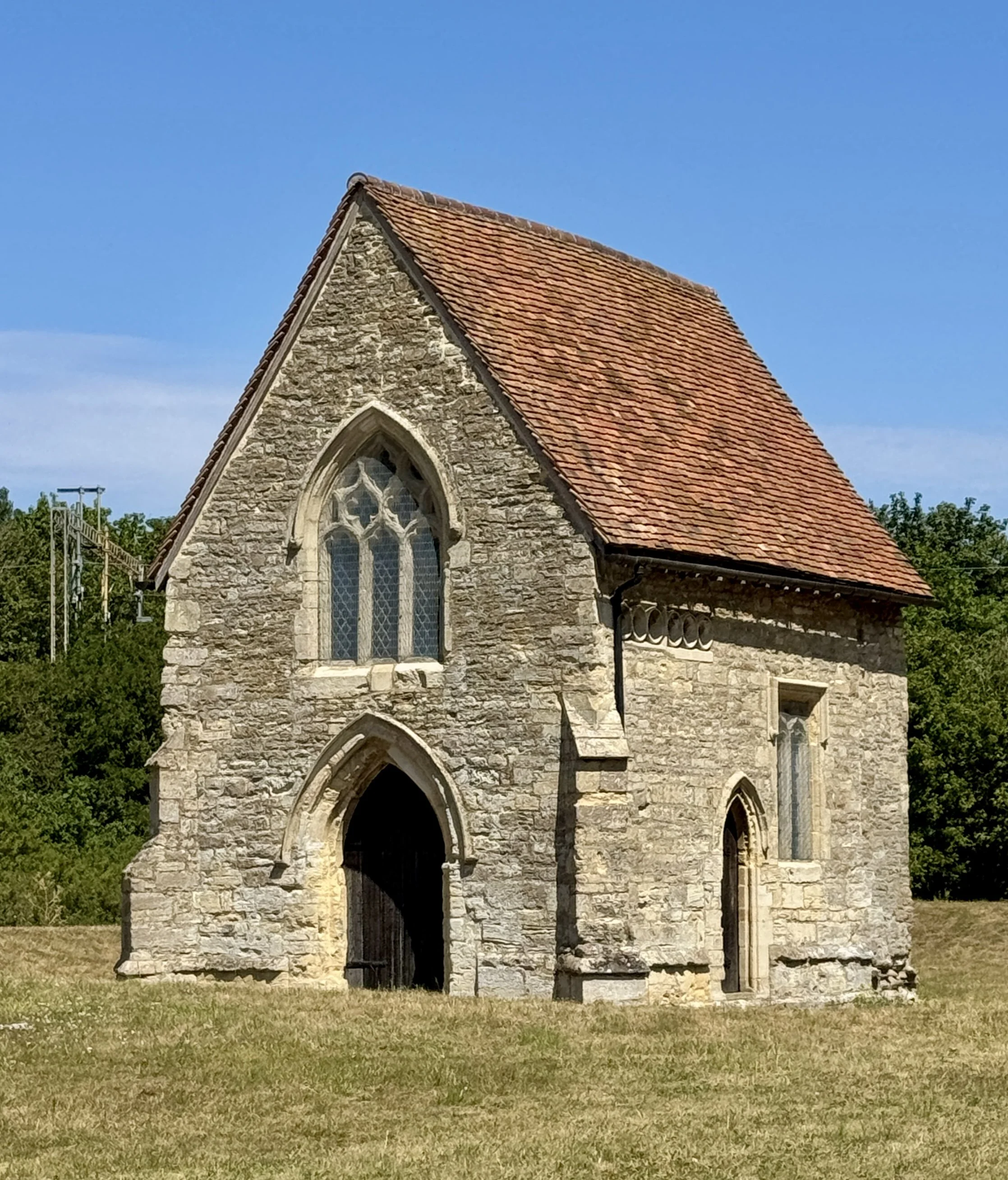
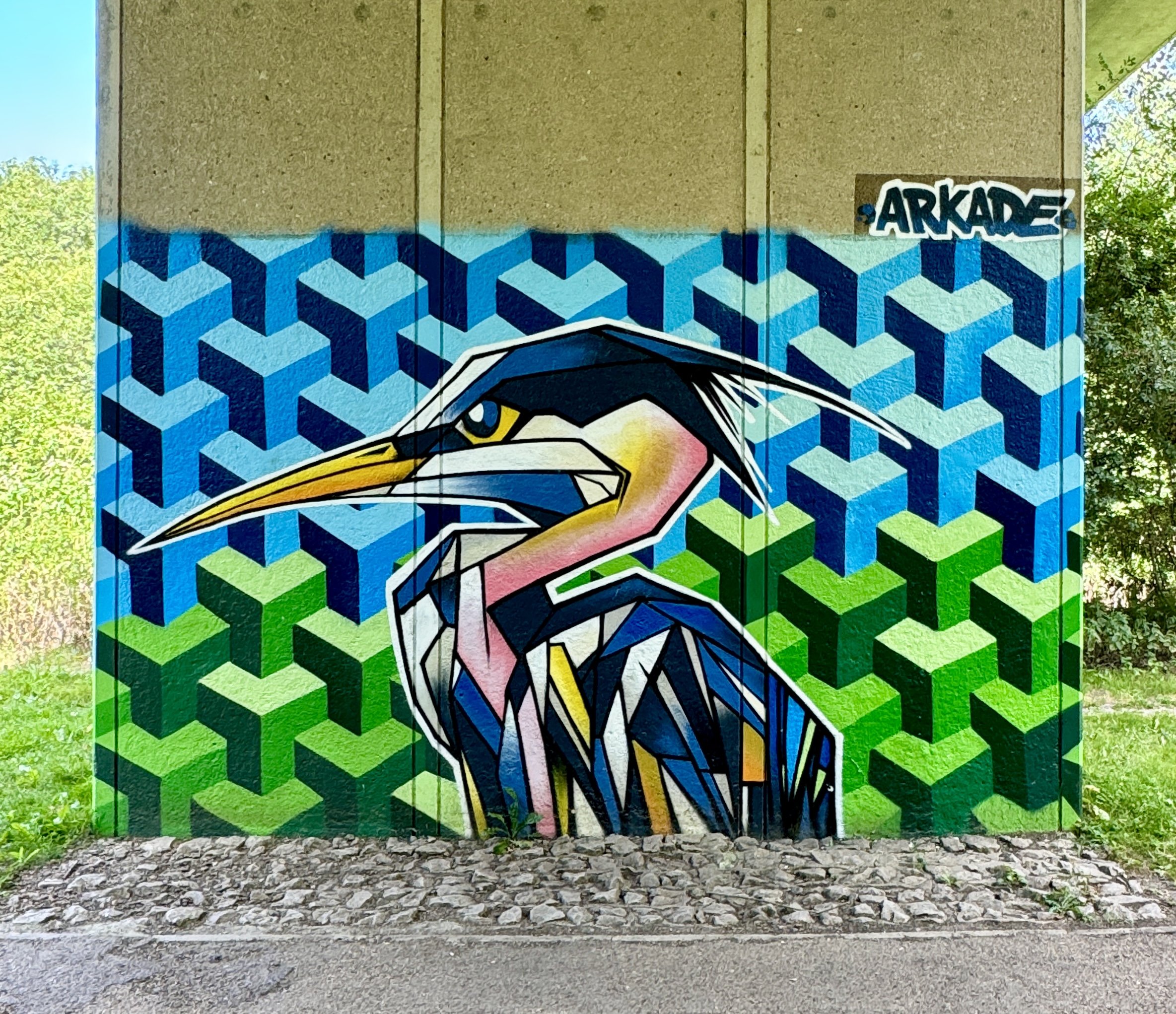
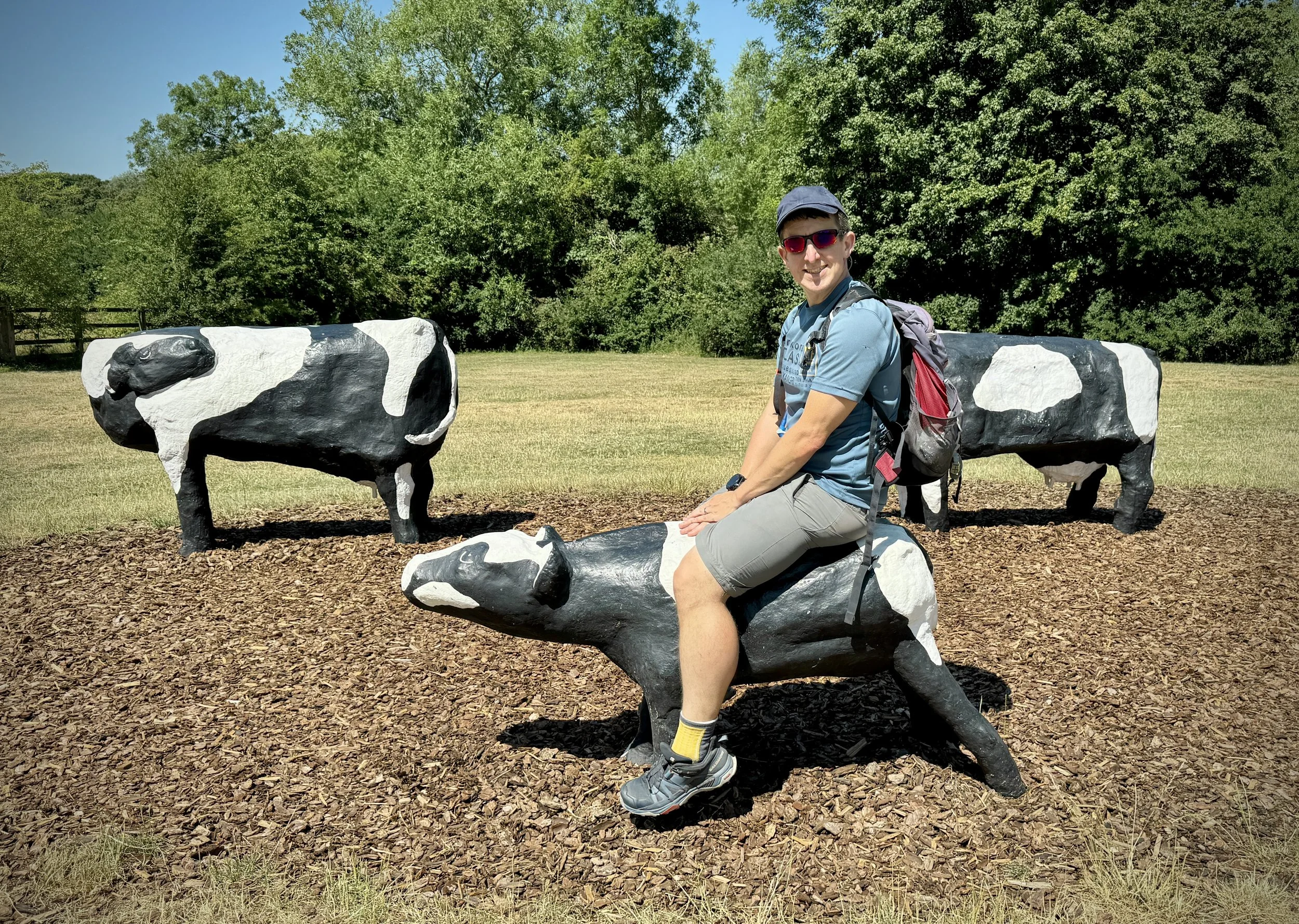
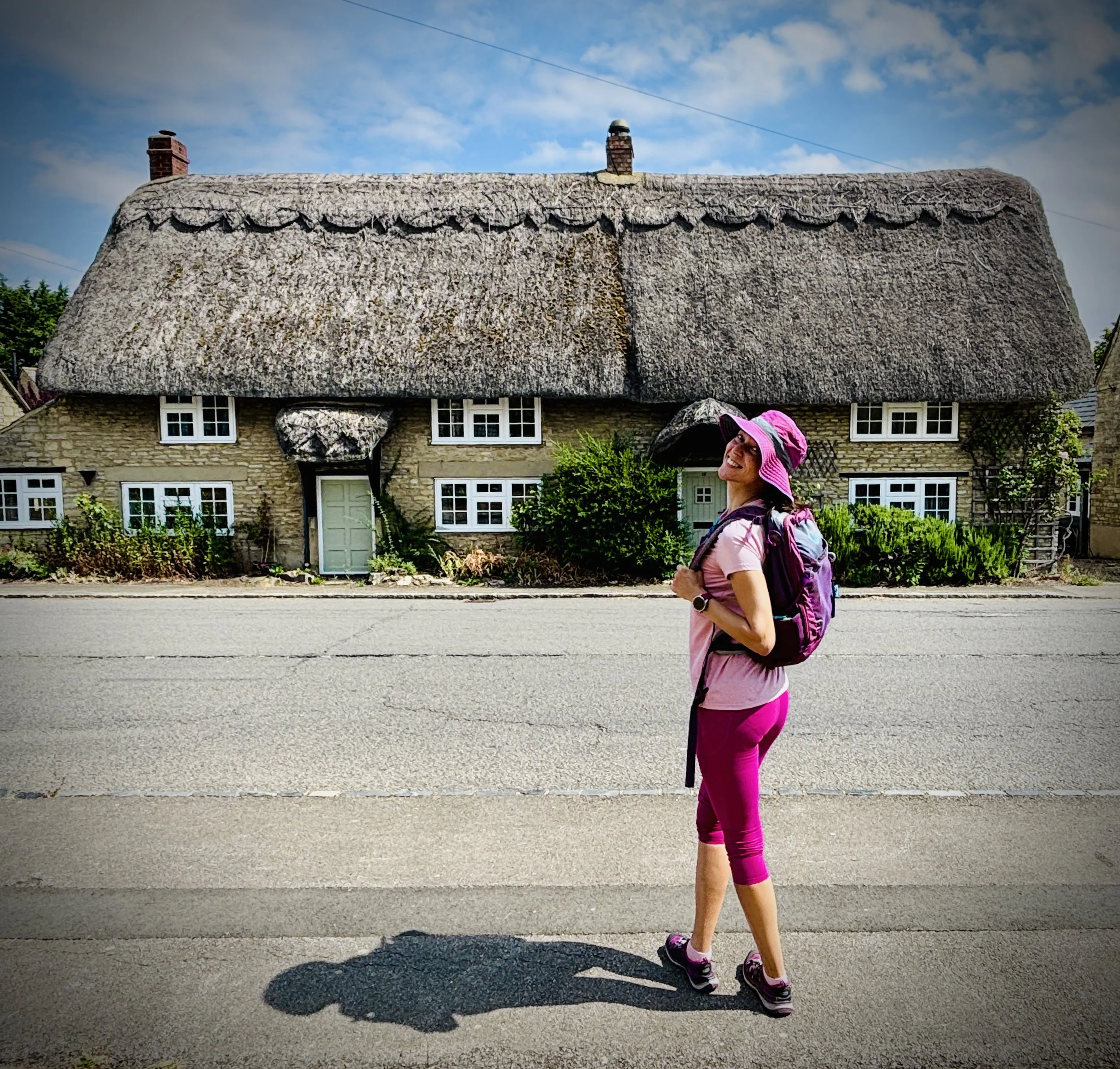
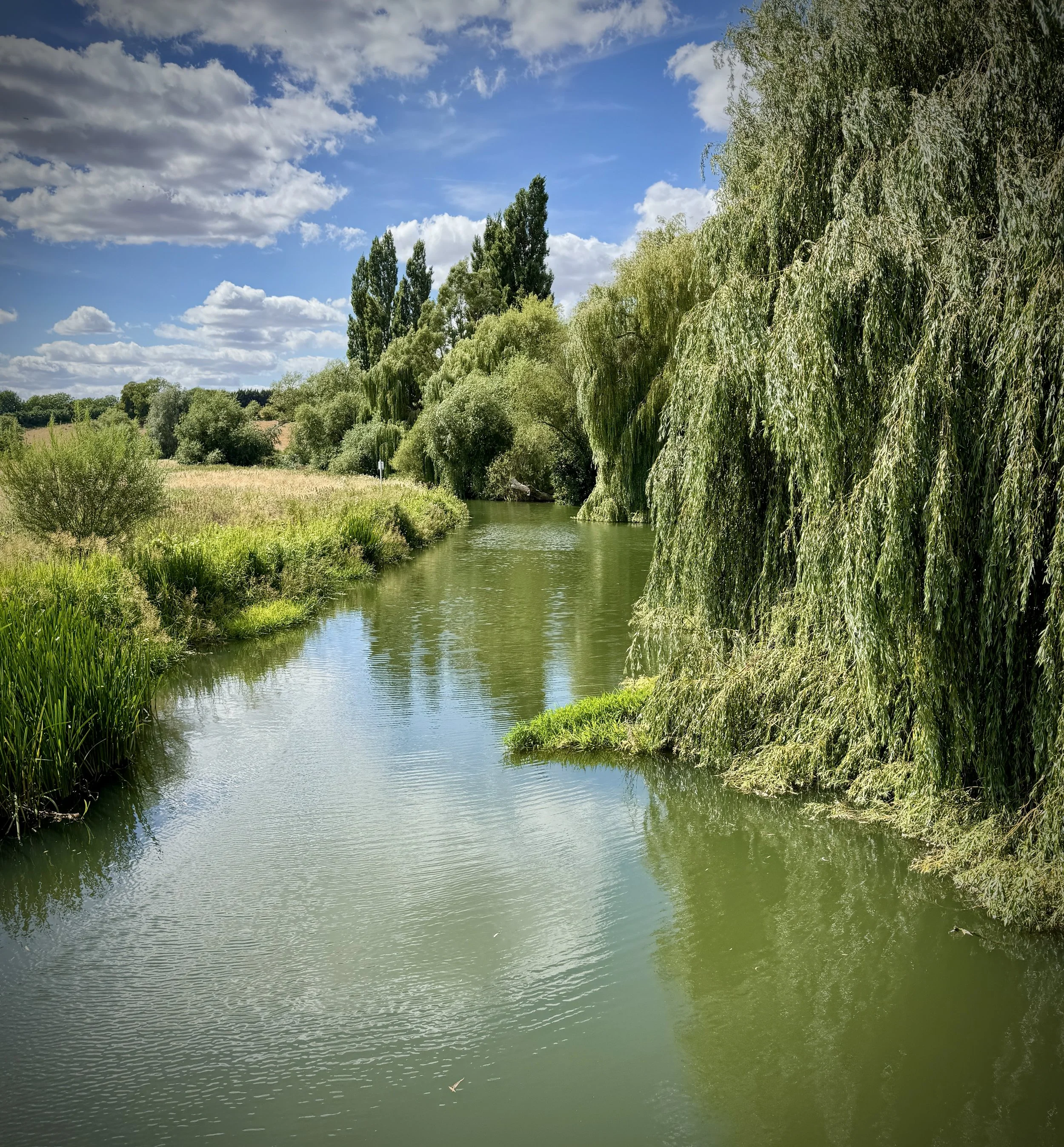
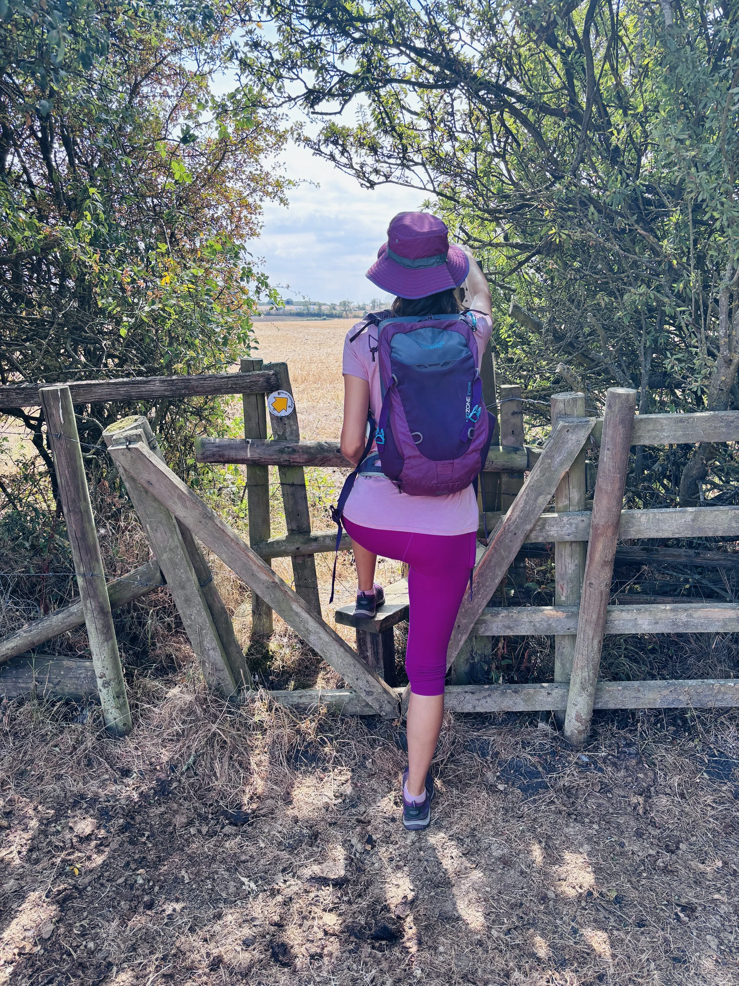
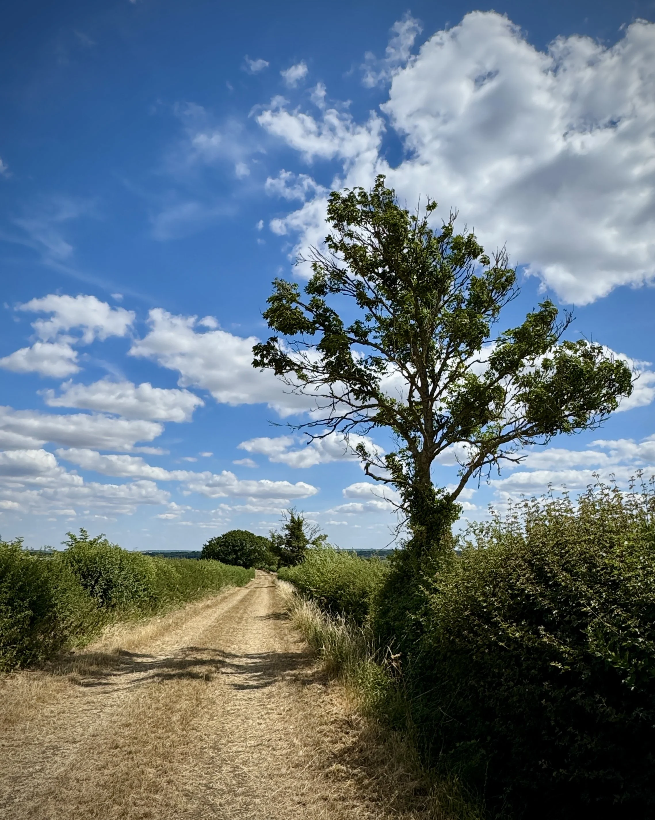
Walking the Midshires Way in Buckinghamshire in 17 walks
If you’re not up for a 80 km walk in one go, you can take in the Midshires Way in Buckinghamshire in 17 walks of between 8 and 14 km each. We chose this option, completing all 17 sections over 8 months in 2026. The advantage of this option is exploring more of the villages and side paths close to the route.
Each number refers to a circular walk below. Base map: Esri Topo via RideWithGPS
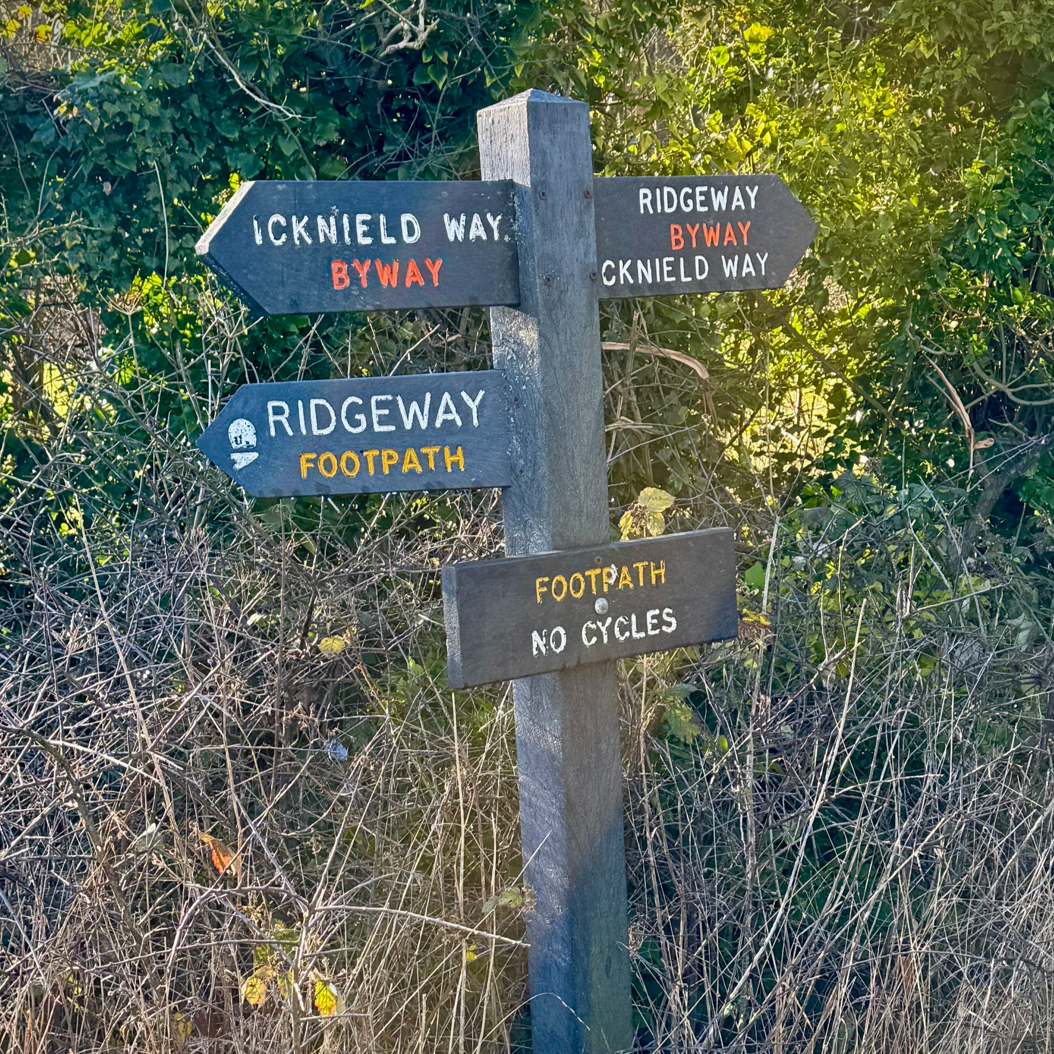
Section 1: Hempton Wainhill & Bledlow
Start & Finish: Lions Of Bledlow, Church End, Bledlow, Princes Risborough, HP27 9PE
Distance: 10.2 km (6.4 miles)
Elevation change: +/- 121m
Terrain: Elevated ridge-top bridleways, sheltered woodland trails, and level field-edge paths following the old railway line.
Midshires Way section covered: The Ridgeway at Wainhill to North Mill Road: 3.7 km
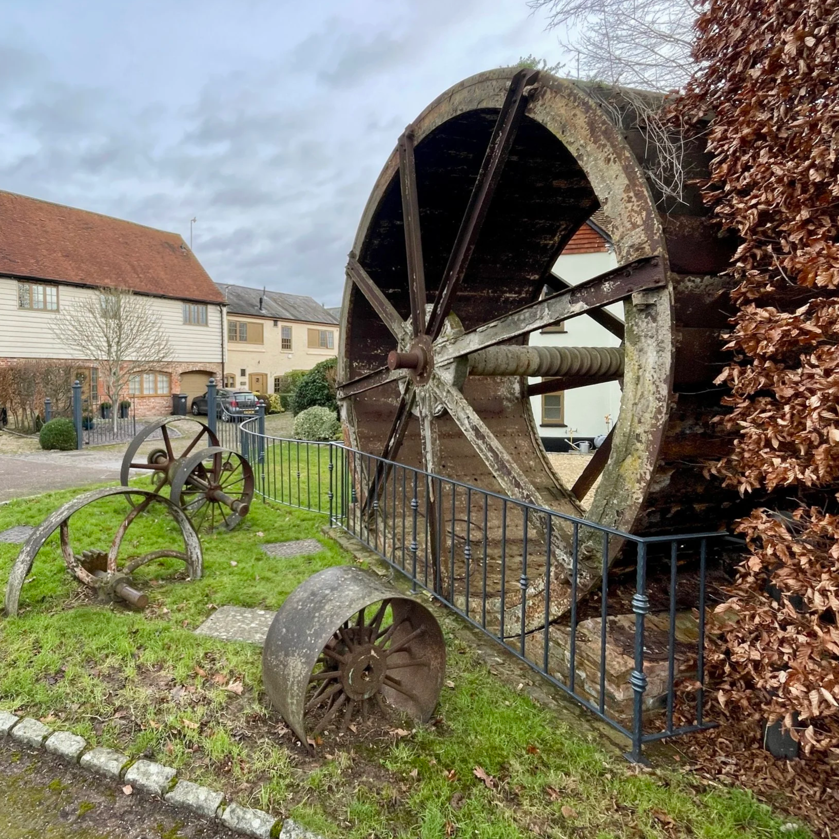
Start & Finish: Longwick Stores And Post Office, Thame Road, Longwick, Princes Risborough, HP27 9SF
Distance: 8.3 km (5.2 miles). Can be shortened by ~1 km by removing the detours. See walk description.
Elevation change: +/- 37m
Terrain: Level field-edge paths, quiet country lanes, and agricultural tracks.
Midshires Way section covered: North Mill Road to Longwick: 3.6 km
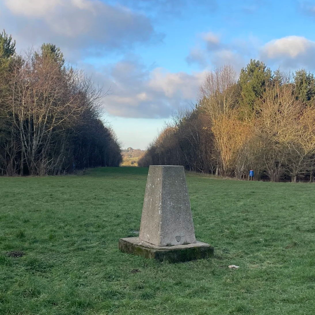
Section 3: Ford and Kemble Wick
Start & Finish: The Dinton Hermit, Water Lane, Ford, Aylesbury, HP17 8XH
Distance: 11.6 km (7.2 miles)
Elevation change: +/- 58m
Terrain: Predominantly level terrain consisting of field-edge footpaths, narrow country lanes, and farm tracks across the Aylesbury Vale.
Midshires Way section covered: Longwick to Michael’s Peace: 4.3 km
Section 4: Ford and Michael's Peace
Start & Finish: The Dinton Hermit, Water Lane, Ford, Aylesbury, HP17 8XH
Distance: 8.3 km (5.2 miles)
Elevation change: +/- 41 m
Terrain: Mostly level field-edge paths, quiet country lanes, and a short optional section through community woodland.
Midshires Way section covered: Michael’s Peace to Bishopstone Road: 3.8 km
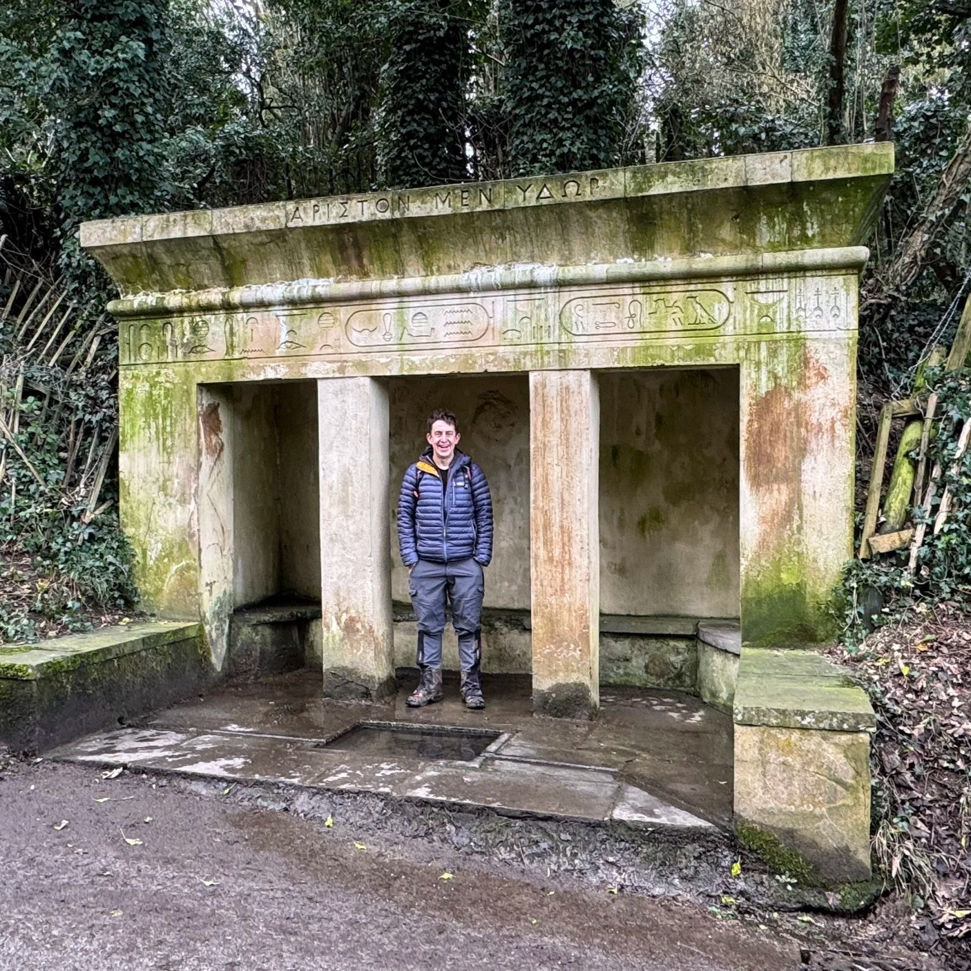
Start & Finish: Stone Village Hall, 50 Oxford Road, Stone Aylesbury, HP17 8PB
Distance: 10.1 km (6.3 miles)
Elevation change: +/- 75 m
Terrain: A mixture of quiet village lanes and open field-edge bridleways.
Midshires Way section covered: Bishopstone Road to the River Thame: 3.5 km
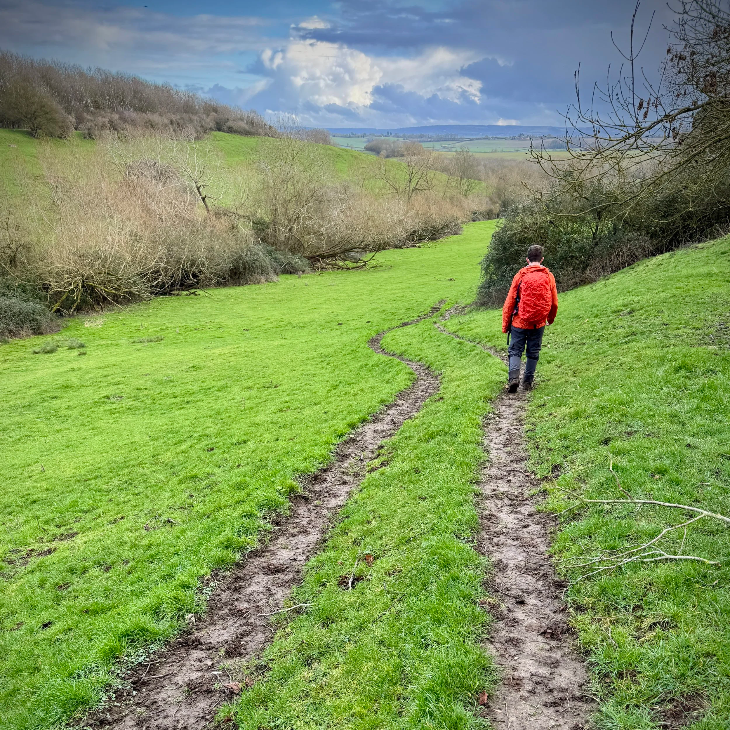
Section 6: Waddesdon and Eythrope
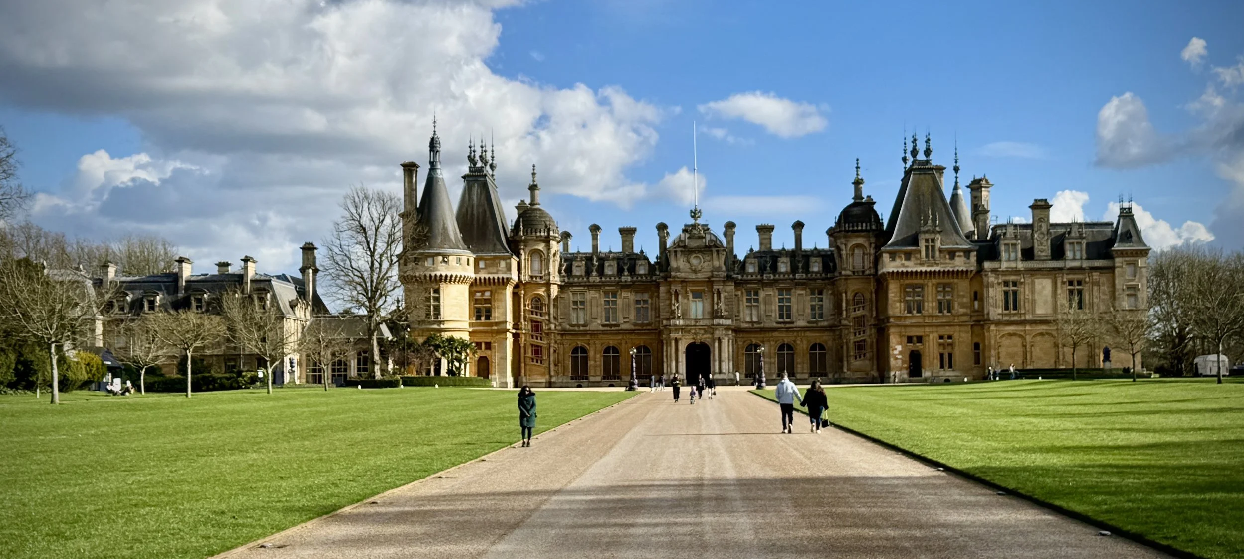
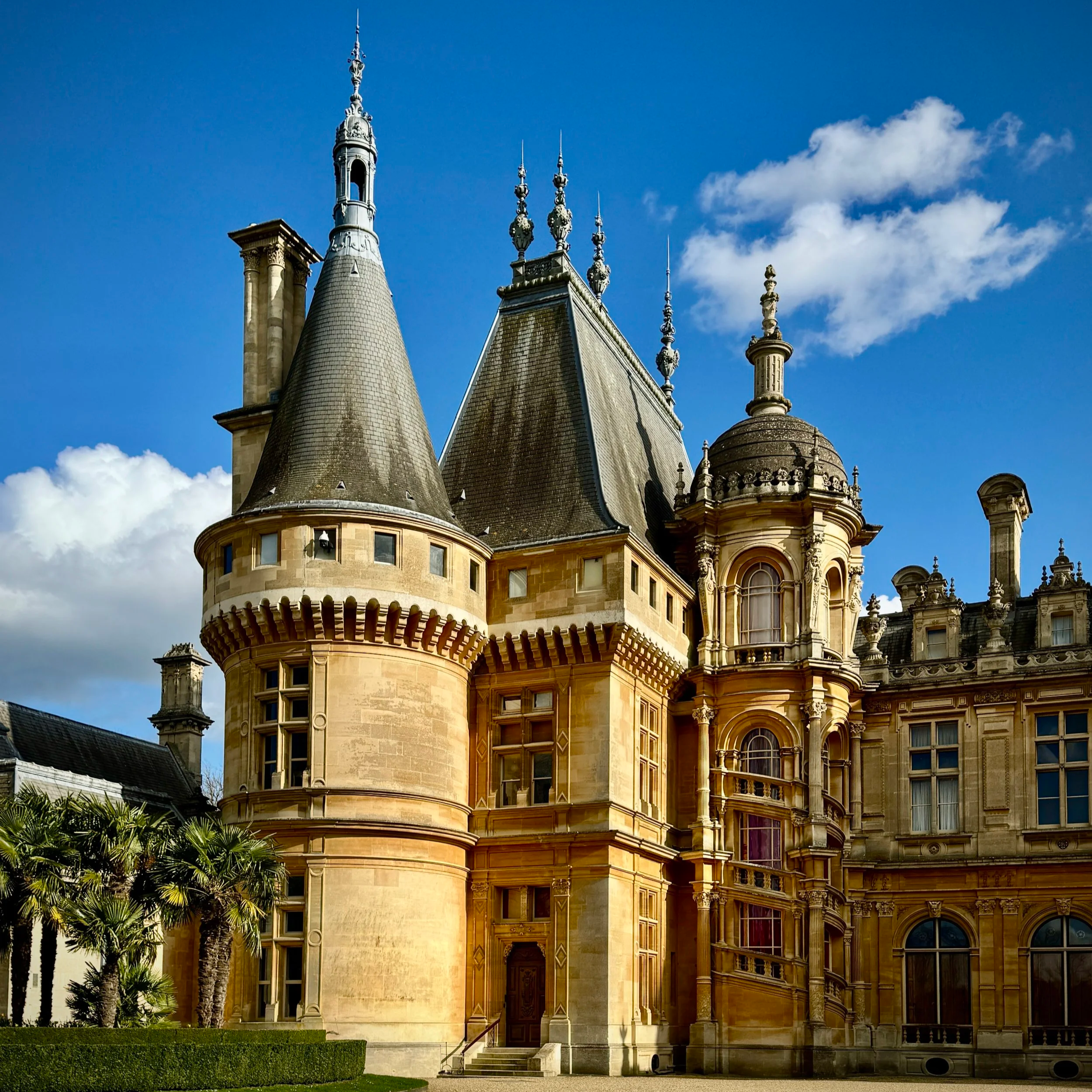
Start & Finish: Waddesdon Manor Car Park, Waddesdon, Aylesbury, HP18 0JE
Distance: 11.1 km (6.9 miles)
Elevation change: +/- 160 m
Terrain: A mixture of paved estate roads, grassy footpaths, and woodland tracks across undulating farmland.
Midshires Way section covered: River Thame to Waddeston: 3.7 km
Section 7: Waddesdon and Quainton Road
Start & Finish: Waddesdon Manor Car Park, Waddesdon, Aylesbury, HP18 0JE
Distance: 11.9 km (7.4 miles)
Elevation change: +/- 96m
Terrain: A mixture of paved surfaces, grassy footpaths, and countryside tracks with rolling elevations.
Midshires Way section covered: Waddesdon to Quainton: 4.5 km
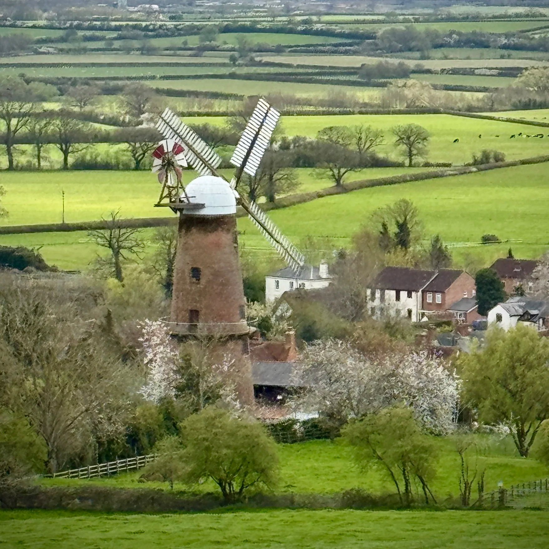
Section 8: Quainton and Botolph Claydon
Start & Finish: George and Dragon pub, 32 The Green, Quainton, Aylesbury HP22 4AR
Distance: 13.2 km (8.2 miles)
Elevation change: +/- 144m
Terrain: The route predominantly follows public bridleways and quiet country lanes, with some muddy sections likely after heavy rain.
Midshires Way section covered: Quainton to East Claydon: 6.7 km
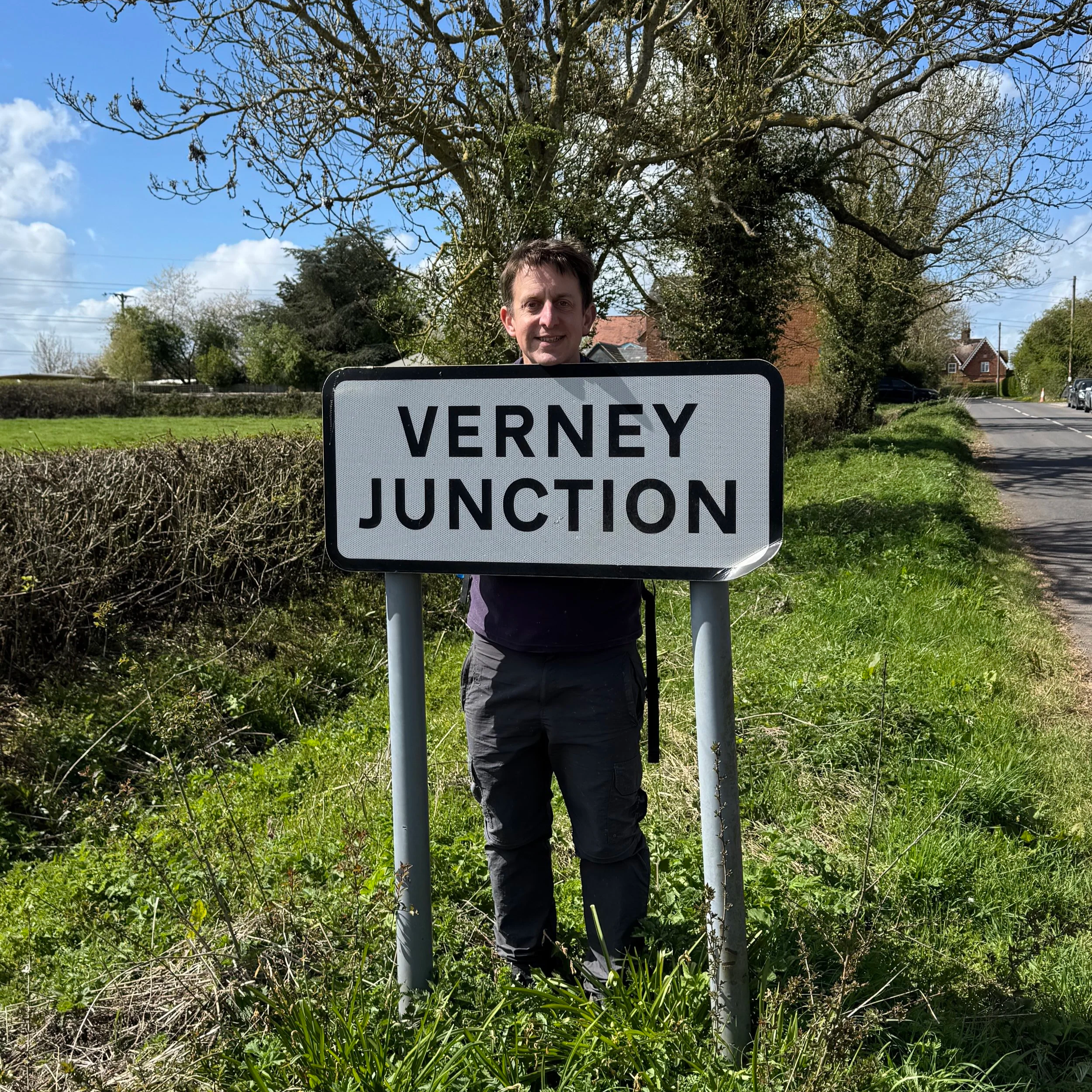
Section 9: Verney Junction and Winslow
Start & Finish: St Mary's Church, Church Way, East Claydon, Buckingham, MK18 2ND
Distance: 12.7 km (7.9 miles)
Elevation change: +/- 97m
Terrain: Mixed terrain including field paths, bridleways, and quiet country lanes.
Midshires Way section covered: East Claydon to Addington: 4.7 km
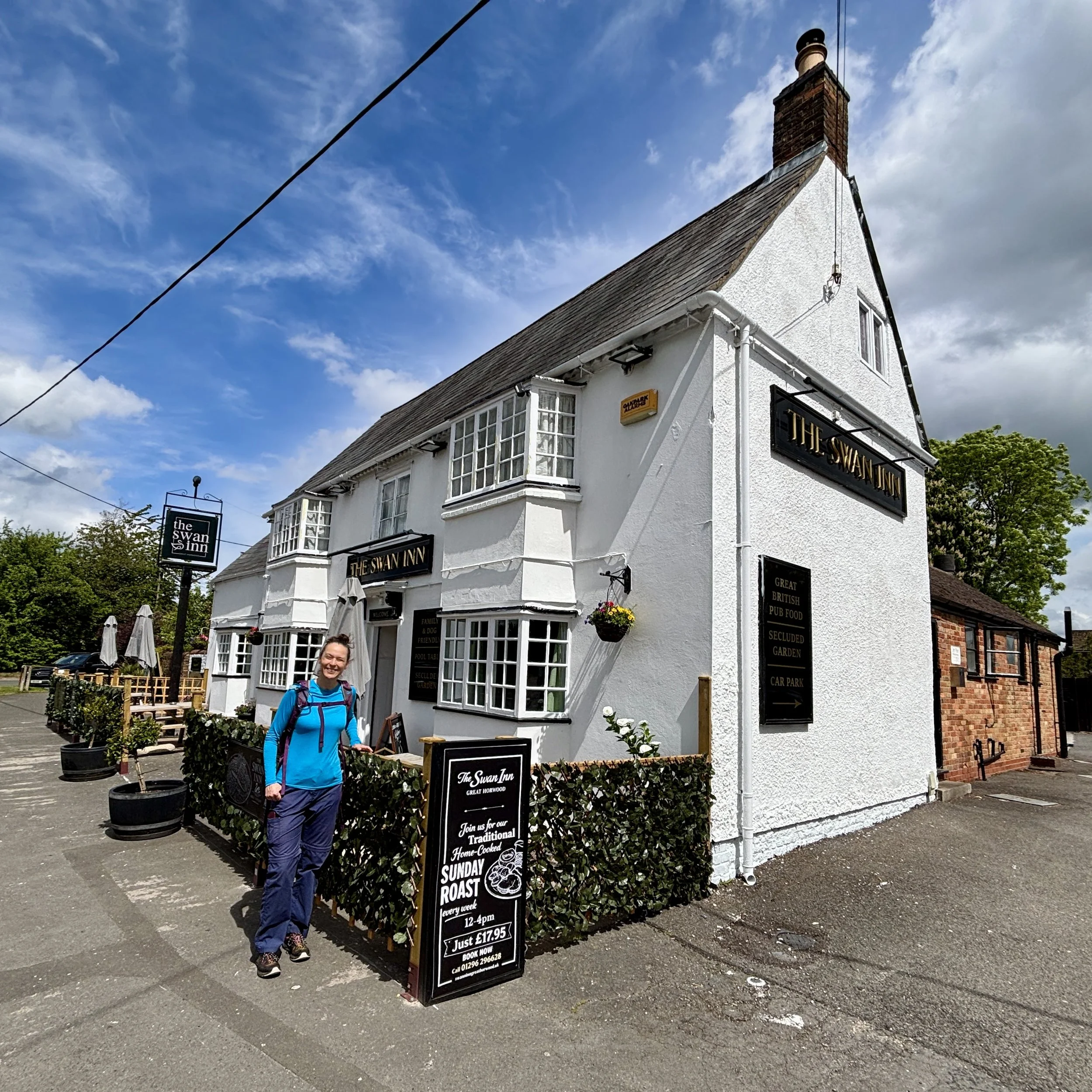
Section 10: Addington and Great Horwood
Start & Finish: Church End, Adstock, Buckingham, MK18 2HY
Distance: 10.3 km (6.4 miles)
Elevation change: +/- 79m
Terrain: A pleasant mix of open arable fields, ancient bridleways, and quiet village lanes.
Midshires Way section covered: Addington to Great Horwood: 4.3 km
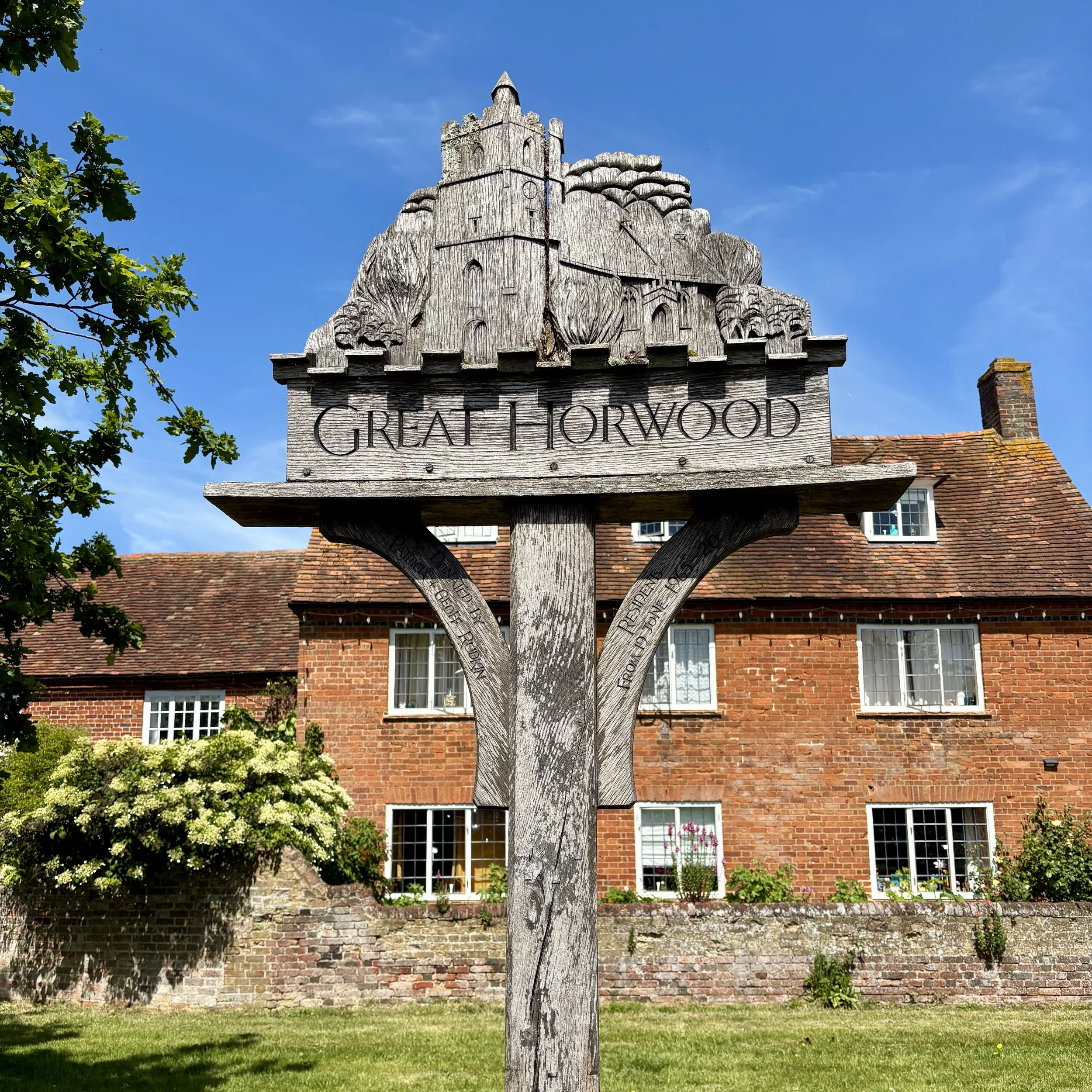
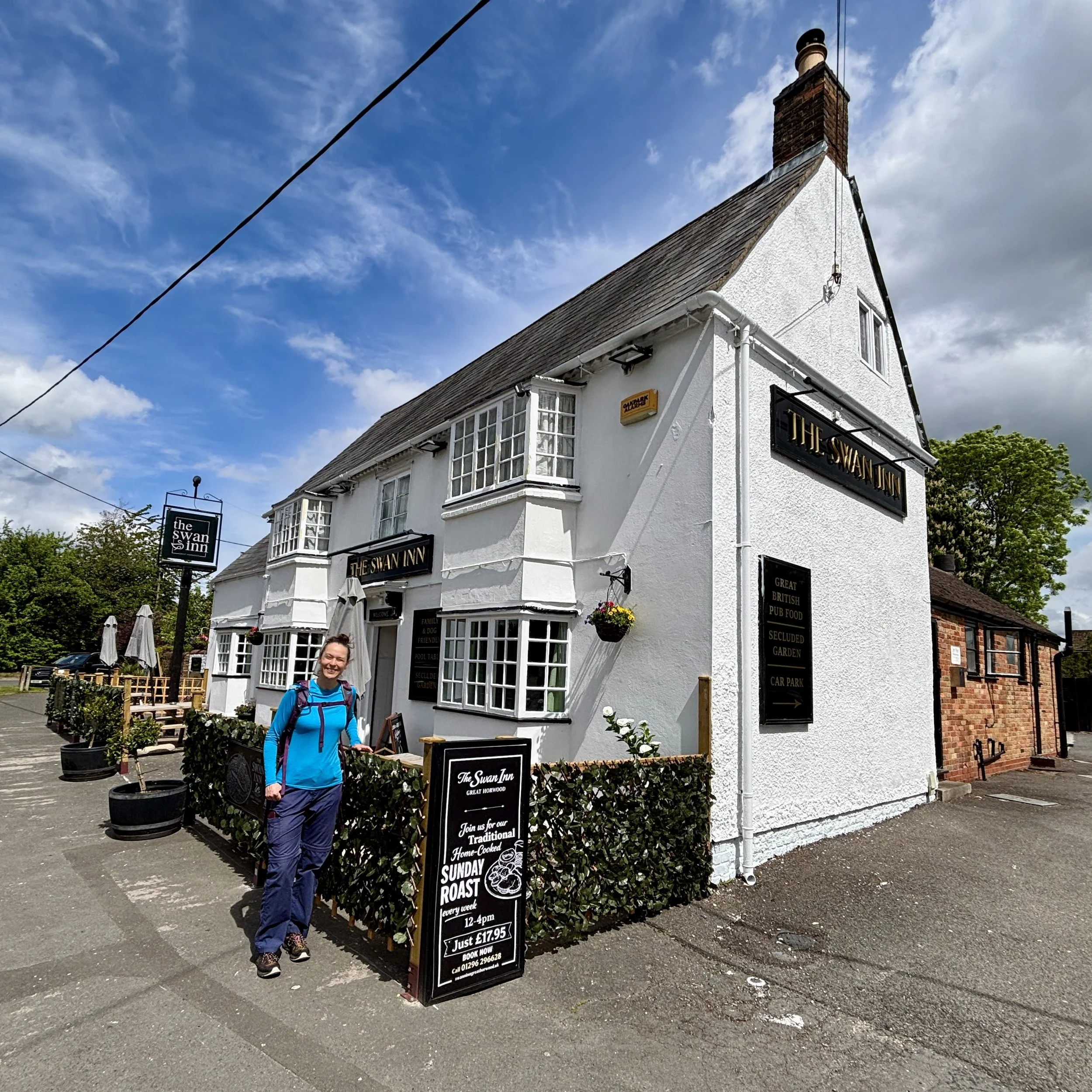
Section 11: Great Horwood and Whaddon
Start & Finish: The Swan Inn, 1 Winslow Road, Great Horwood, Milton Keynes, MK17 0QN
Distance: 11.4 km (7.1 miles)
Elevation change: +/- 85m
Terrain: A mixture of grassy footpaths, bridleways, agricultural field margins, and village pavements.
Midshires Way section covered: Great Horwood to Whaddon: 6.1 km
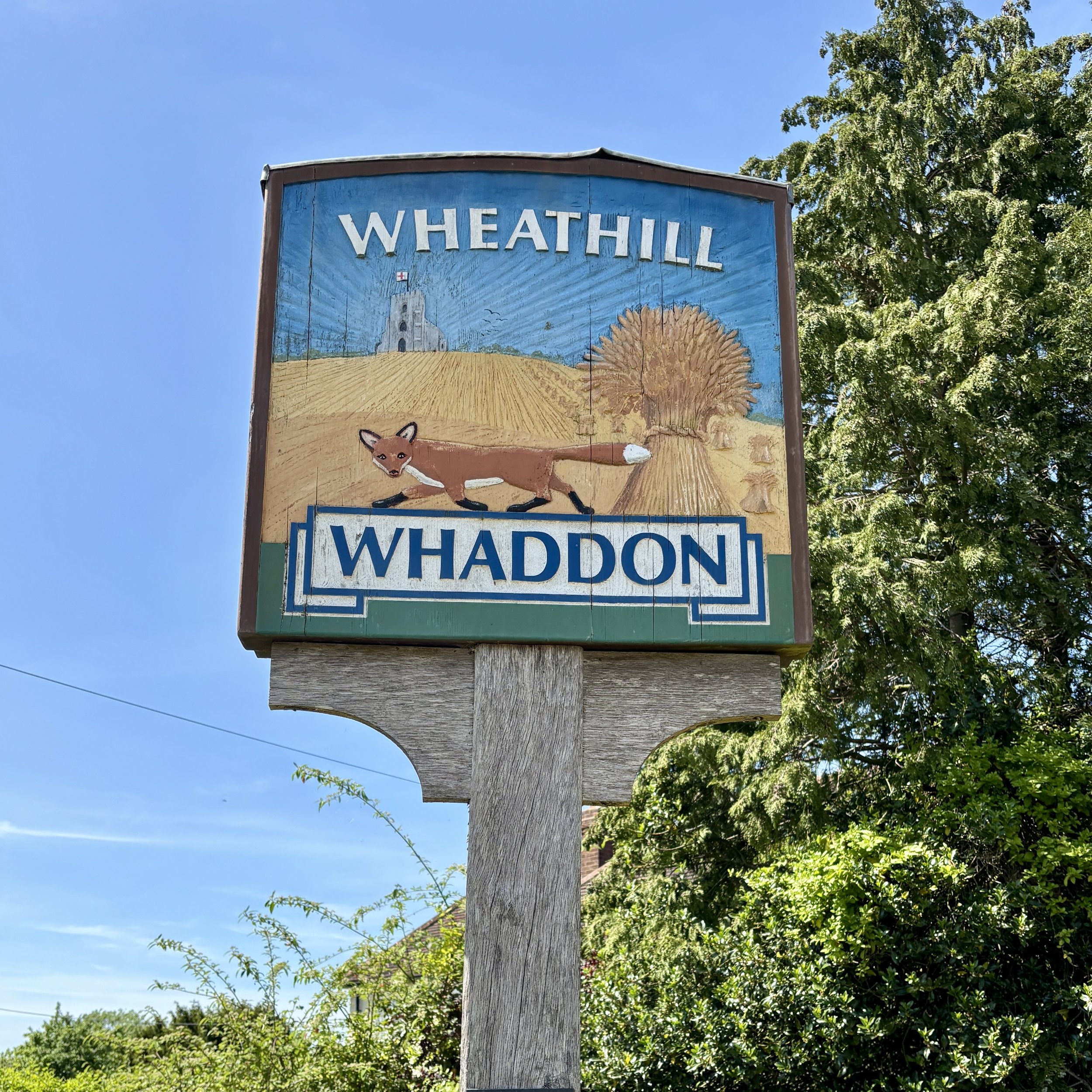
Section 12: Whaddon and Oakhill Wood
Start & Finish: St Mary's Church, Church Hill, Whaddon, Milton Keynes, MK17 0LZ
Distance: 8.3 km (5.2 miles)
Elevation change: +/- 74m
Terrain: A combination of quiet country lanes, well-marked grassy footpaths, and rustic woodland tracks.
Midshires Way section covered: Whaddon to Oakhill: 3.2 km
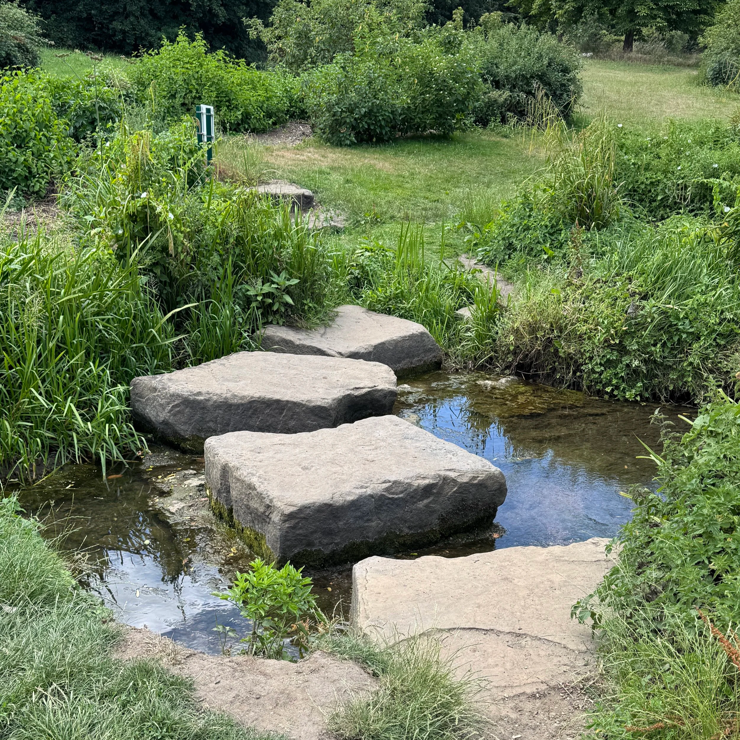
Section 13: Oakhill and Loughton
Start & Finish: Lodge Lake Car Park, Bradwell Road, Loughton Lodge, Great Holm, Milton Keynes, MK8 9LG
Distance: 9.8 km (6.1 miles)
Elevation change: +/- 84m
Terrain: A mix of ancient woodland paths, paved Milton Keynes redways, and grassy parkland trails.
Midshires Way section covered: Oakhill to Lodge Lake: 5.8 km
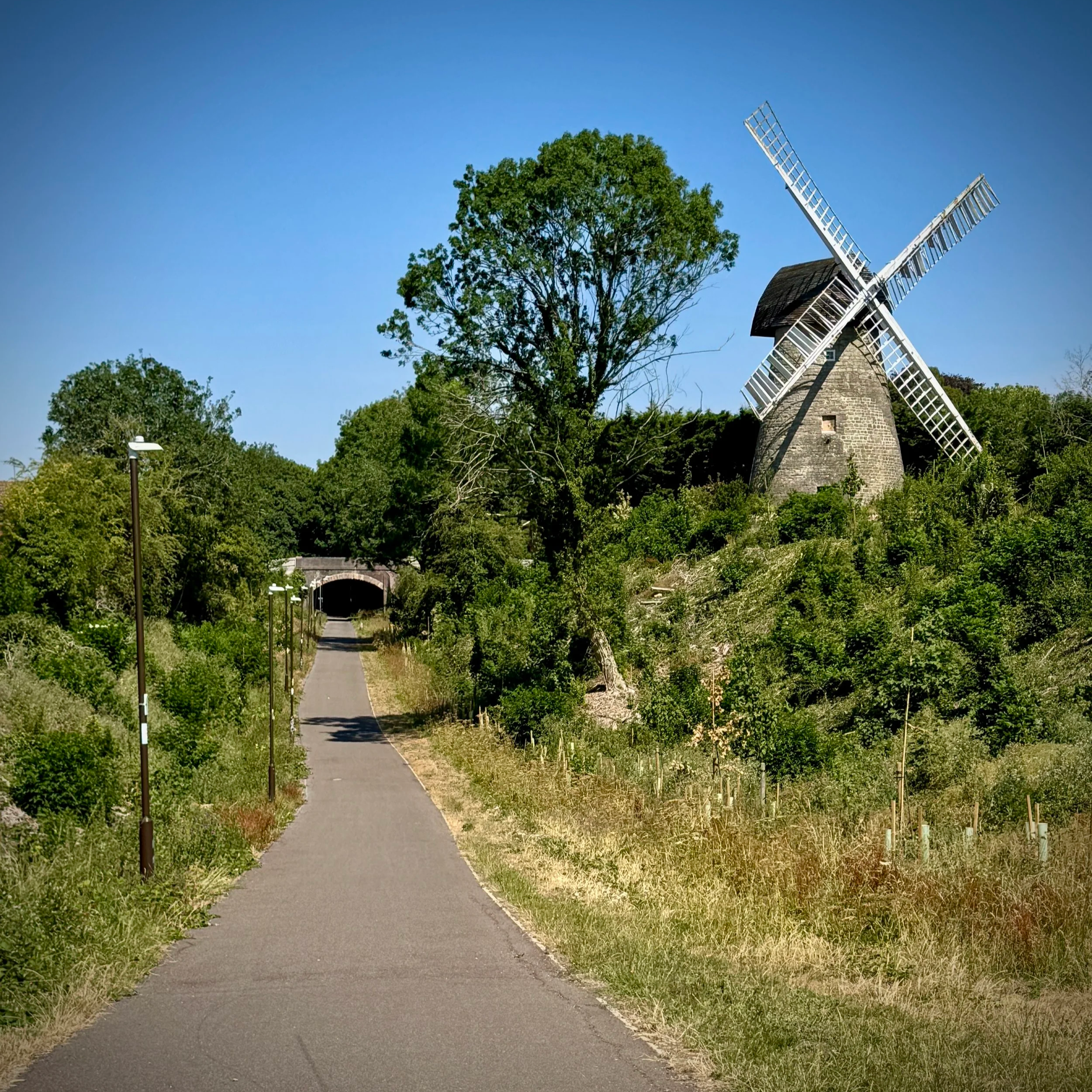
Section 14: Bradwell Abbey and Linford Wood
Start & Finish: Lodge Lake Car Park, Bradwell Road, Loughton Lodge, Great Holm, Milton Keynes, MK8 9LG
Distance: 11.6 km (7.2miles)
Elevation change: +/- 84m
Terrain: Predominantly flat, well-paved redways and shaded woodland paths suitable for most weather conditions.
Midshires Way section covered: Lodge Lake to Great Linford: 6.1 km
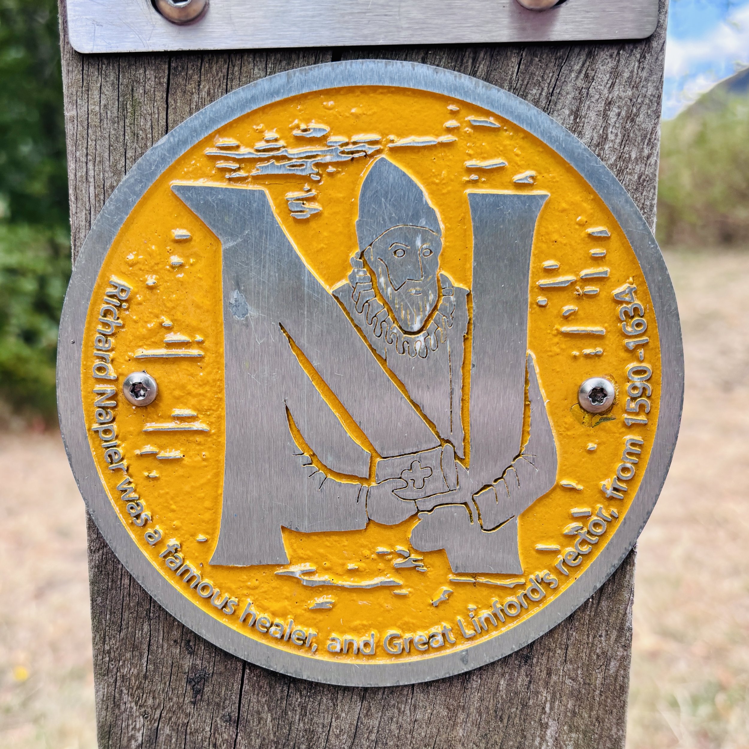
Section 15: Stantonbury Lake and Little Linford
Start & Finish: Great Linford Memorial Hall Car Park, 630 Marsh Dr, Great Linford, Milton Keynes MK14 5AS
Distance: 10.4 km (6.5 miles)
Elevation change: +/- 74m
Terrain: A mixture of paved suburban footpaths, established park trails, and potentially muddy rural tracks.
Midshires Way section covered: Great Linford to Little Linford Wood : 5.0 km
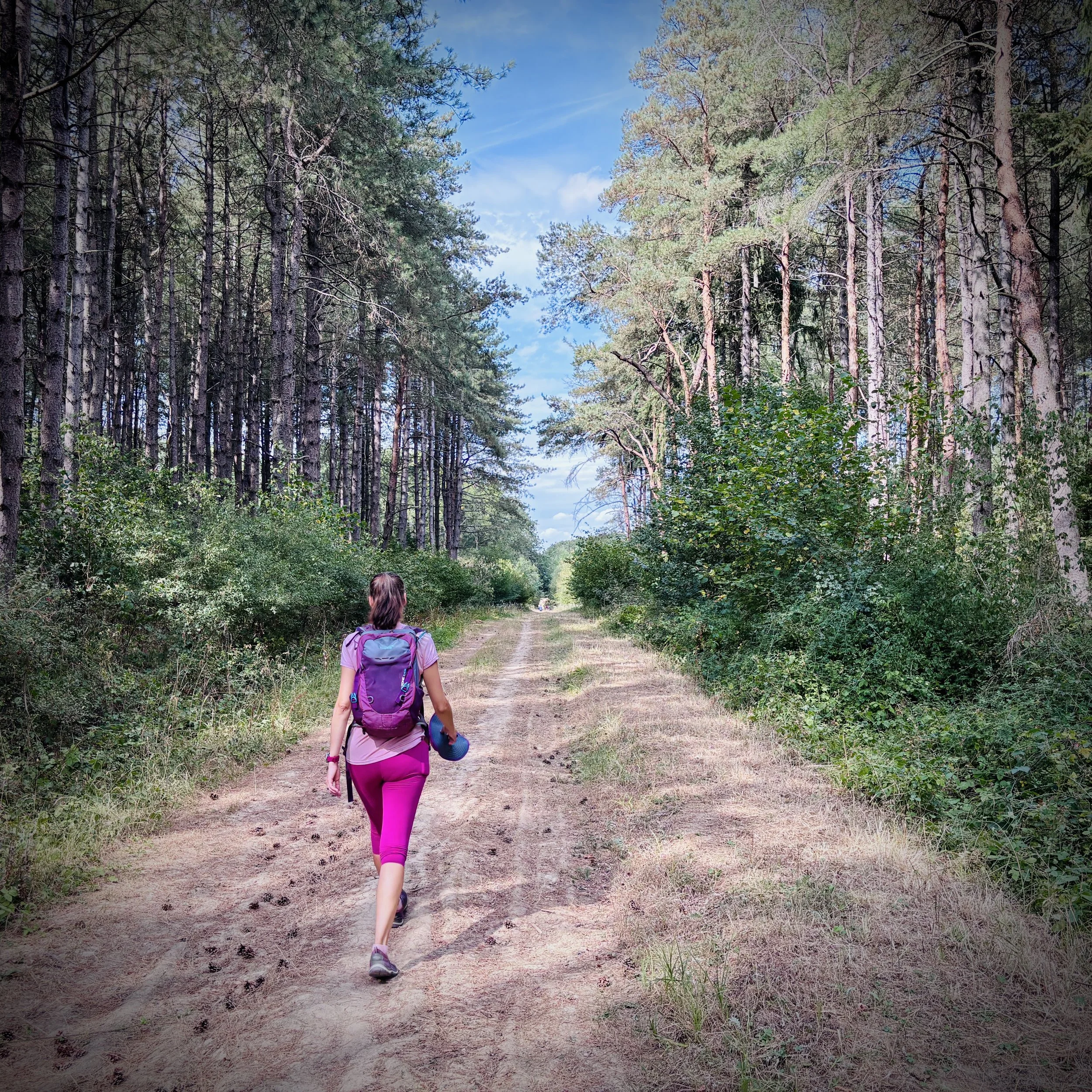
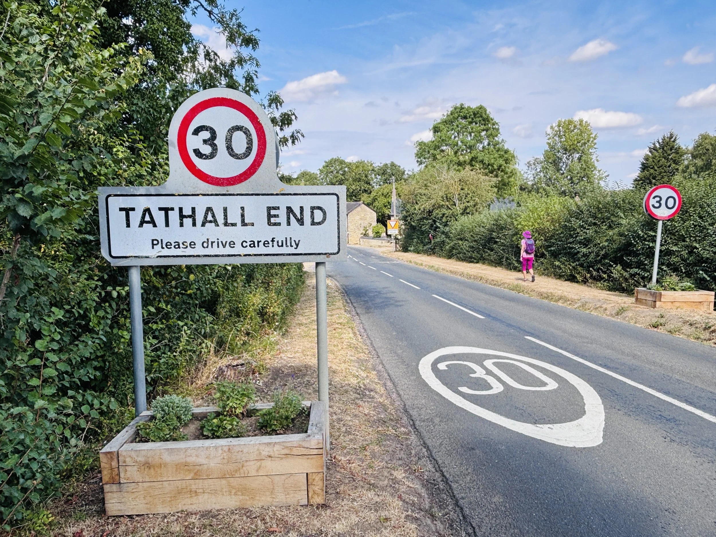
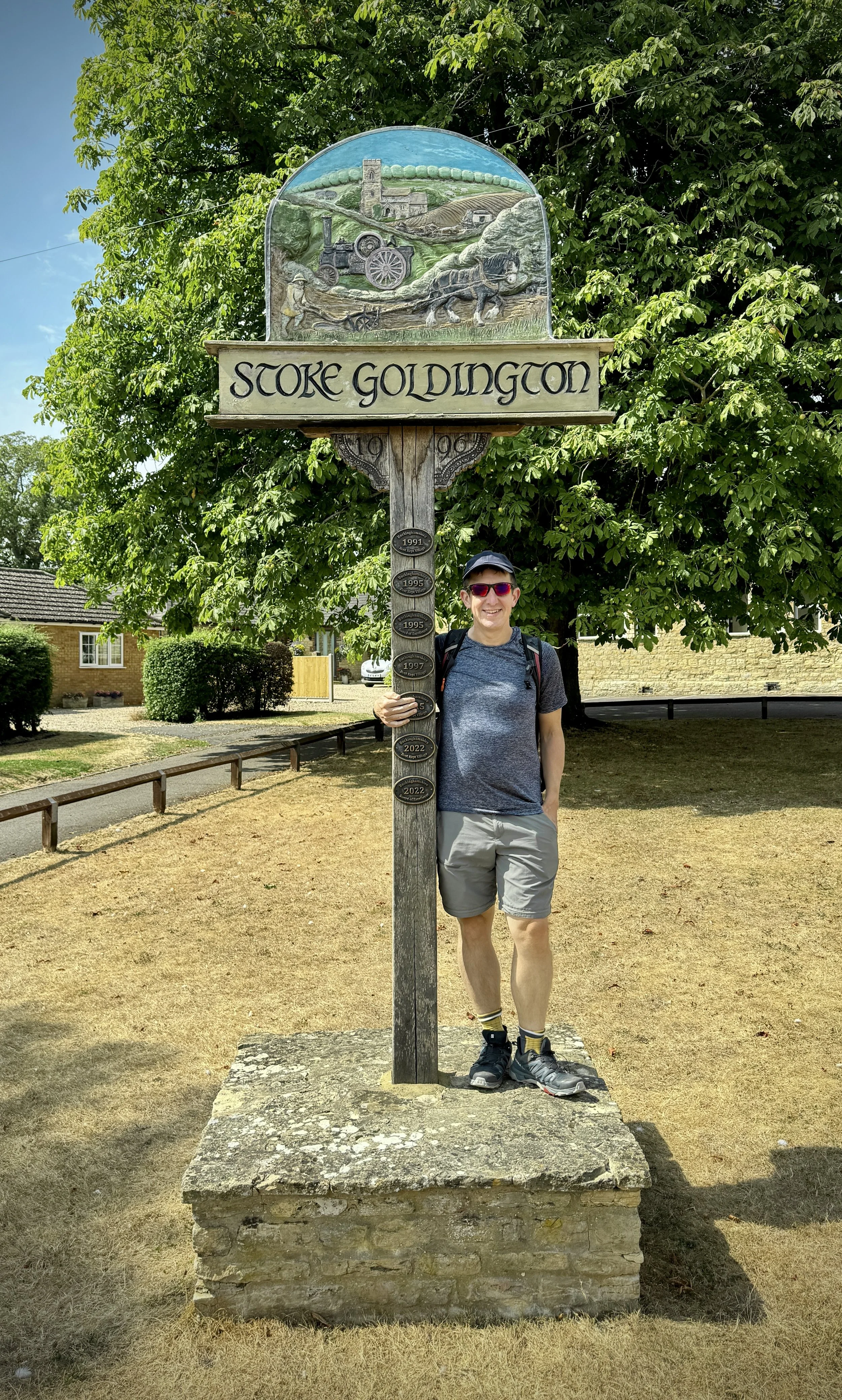
Section 16: Stoke Goldington and Tathall End
Start & Finish: High Street, Stoke Goldington, Newport Pagnell MK16 8NR
Distance: 12.9 km (8.0 miles)
Elevation change: +/- 125m
Terrain: A mixture of village pavements, country lanes, field paths, and rural tracks.
Midshires Way section covered: Little Linford Wood to (near) Stokepark Wood: 4.5 km
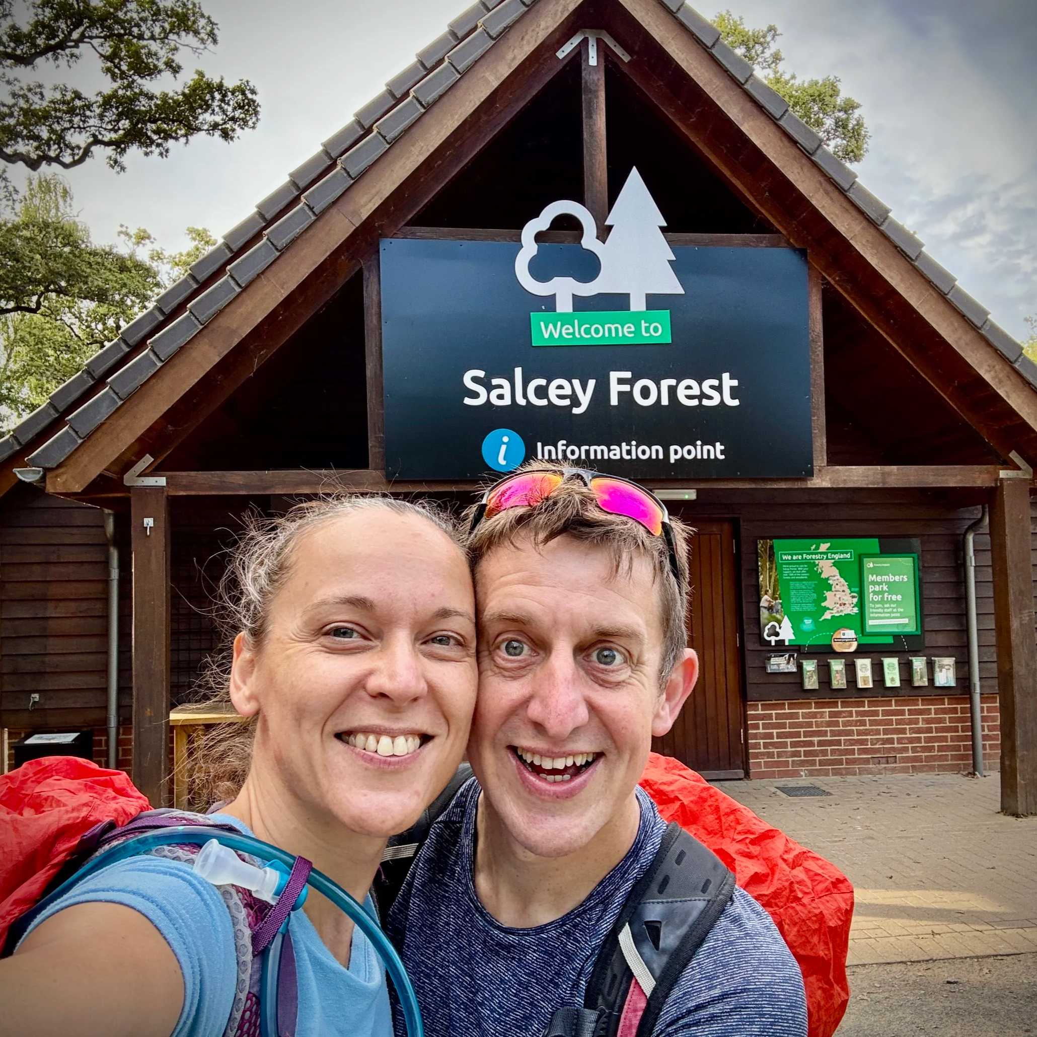
Section 17: Salcey Forest and the Northamptonshire Border
Start & Finish: Salcey Forest Visitor’s Centre, Wootton Rd, Northampton NN7 2HX
Distance: 13.6 km (8.5 miles)
Elevation change: +/- 90m
Terrain: A mix of ancient woodland trails, quiet country lanes, and undulating field paths.
Midshires Way section covered: (near) Stokepark Wood to Salcey Forest: 6.3 km