Walking The Midshires Way Part 15: Stantonbury Lake and Little Linford
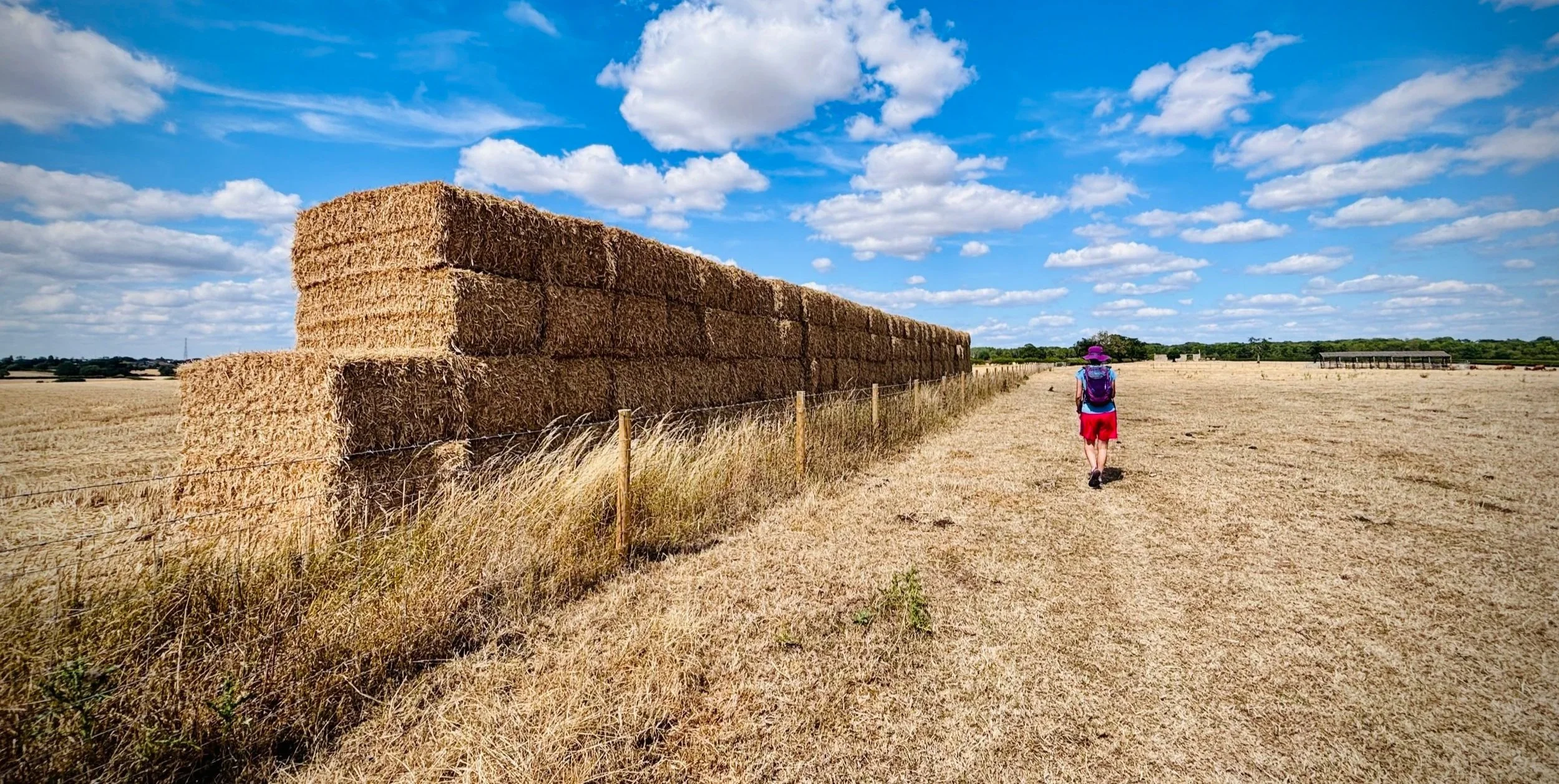
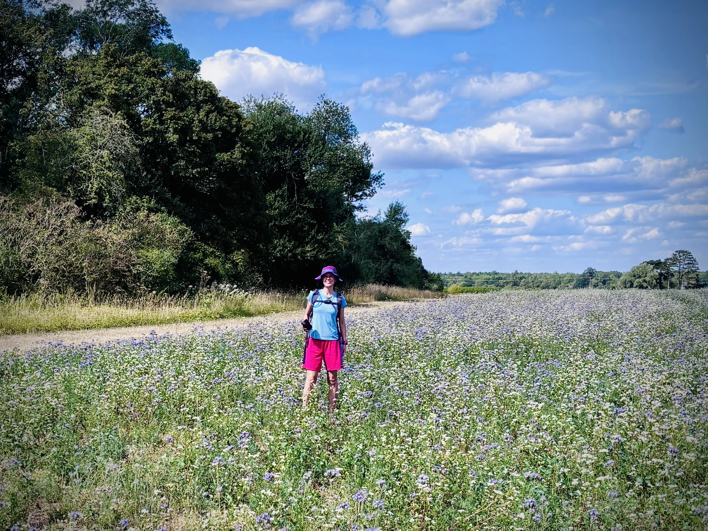
On the Midshires Way through farmland approaching Little Linford Wood
Start & Finish: Great Linford Memorial Hall Car Park, 630 Marsh Dr, Great Linford, Milton Keynes MK14 5AS
Distance: 10.4 km (6.5 miles)
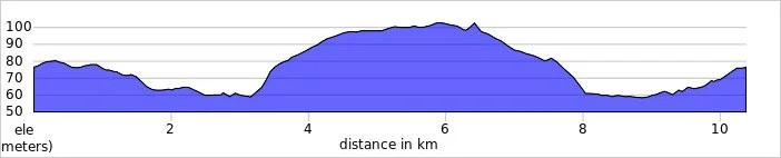
Elevation change: +/- 74m
Terrain: A mixture of paved suburban footpaths, established park trails, and potentially muddy rural tracks.
Midshires Way section covered: Great Linford to Little Linford Wood : 5.0 km
GPX File: get via Buy Me a Coffee
Other routes touched (walk): Midshires Way, The Swan Way, Hanslope Circular Ride, Railway Walk, Grand Union Canal Walk
Other routes touched (cycle): NCN 6
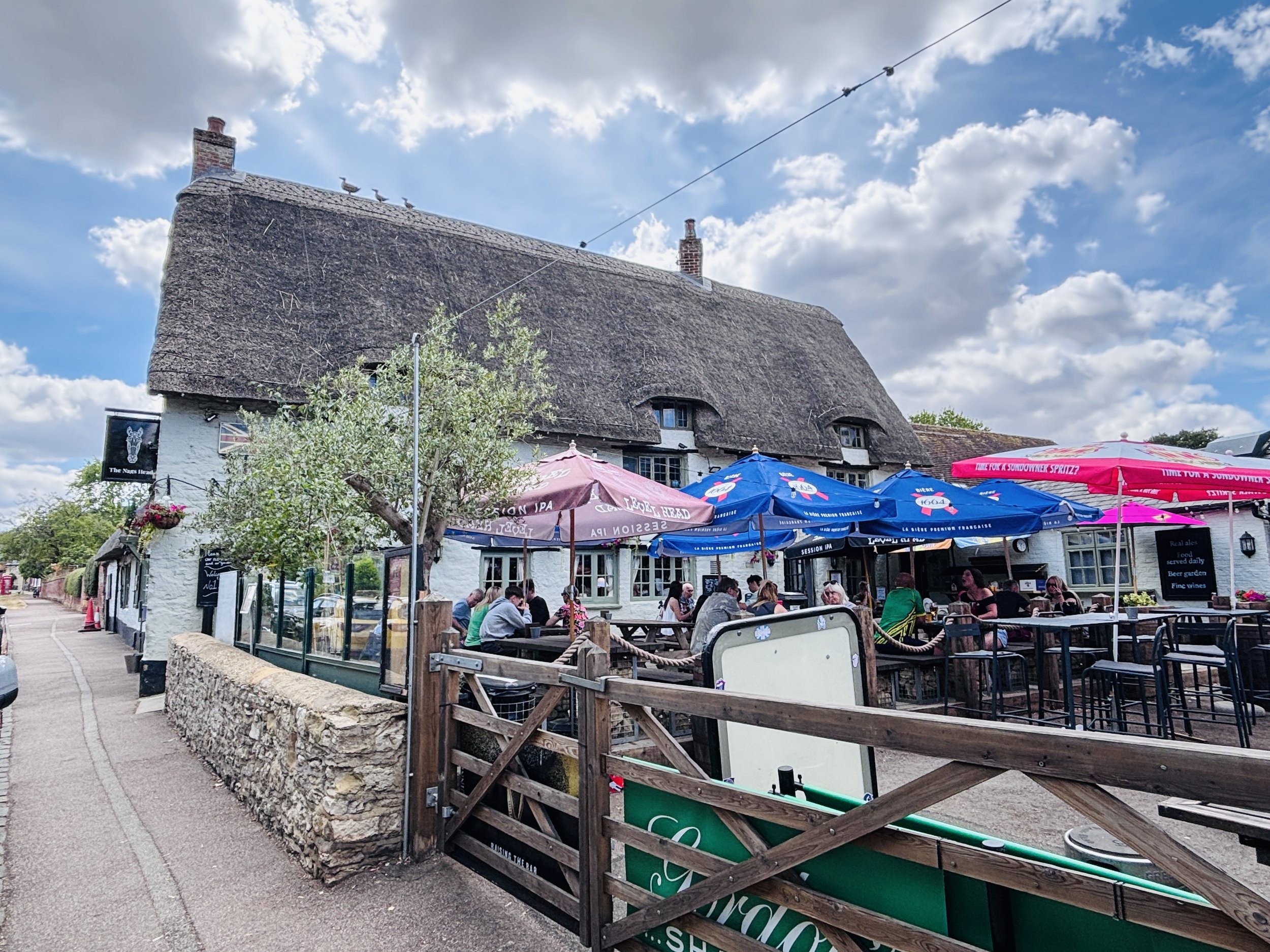
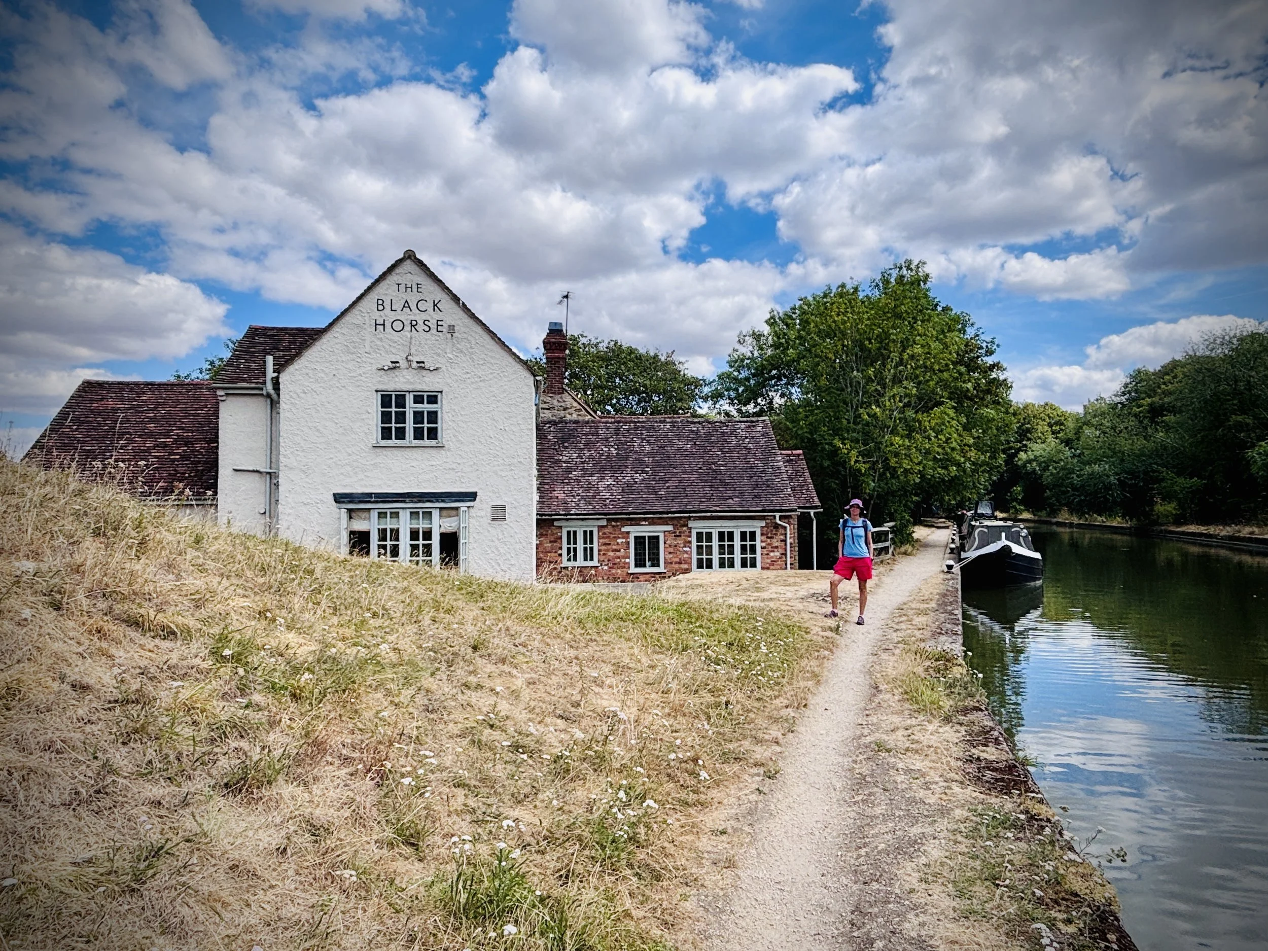
Pubs / Cafes on route: The Nag’s Head (0.3 km in), The Black Horse (1.2 km in)
Map: Buckingham & Milton Keynes Map | Leighton Buzzard & Woburn | Ordnance Survey | OS Explorer Map 192
OS Fundamental Benchmark: TP7233 - Great Linford
Links: Milton Keynes, Grand Union Canal, Stantonbury, Little Linford, River Great Ouse
This is part of a series of short circular walks following the length of the Midshires Way in Buckinghamshire. The Midshires Way is a 225-mile (362 km) trail that journeys through the rural heart of Middle England, linking the Ridgeway National Trail at Bledlow in the south to the Trans Pennine Trail at Stockport in the north. Opened in 1994, this route traverses several counties, including Buckinghamshire, Northamptonshire, Leicestershire, Nottinghamshire, Derbyshire, and Greater Manchester, following a scenic tapestry of ancient bridleways, quiet country lanes, and historic canals. In Buckinghamshire, the Midshires Way has a significant connection with the Swan's Way (often referred to as the Swan Way), a 65-mile long-distance bridleway. Essentially, the Swan's Way forms the backbone of the Buckinghamshire section of the Midshires Way, with the two routes being broadly coincident for approximately 50 miles between Salcey Forest and Bledlow. While the Swan's Way strictly adheres to bridleways to accommodate horse riders and cyclists, the Midshires Way sometimes offers alternative waymarked footpaths for walkers to avoid on-road sections.
Walking Directions
This circular route starting from Stantonbury offers a fantastic blend of Milton Keynes' green spaces and the traditional Buckinghamshire countryside. Heading out from the suburban edges, you quickly find yourself immersed in the open landscapes that border the River Great Ouse valley. It is a walk of beautiful contrasts: you trade residential footpaths for quiet dirt tracks and peaceful rural scenery.
As the path pushes north towards the village of Little Linford, the surroundings become increasingly tranquil. The return leg sweeps back towards Stantonbury, taking in the historical resonance of the local parkland along the way. While you won't cross paths with a local parkrun on this specific trail, the route is a brilliant and peaceful escape for casual walkers and dedicated hikers alike.
The guidance below will help you navigate but don’t use it as a fully accurate turn-by-turn guide. Always take a map and/or a GPX route and prepare well for the weather and terrain.
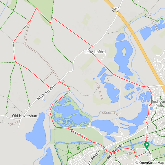
Begin at the free car park at Great Linford Memorial Hall, located within the grounds of Linford Manor Park.
Take the footpath running along the western side of the car park and head south until you reach the High Street.
Turn right along the High Street and walk until you see the Nag's Head pub. Here, you can either stop for an early drink, or if it's a bit too early for that, turn right to enter the park gates.
Walk north through Linford Manor Park, curving left in a westerly direction to skirt the southern side of the round pond.
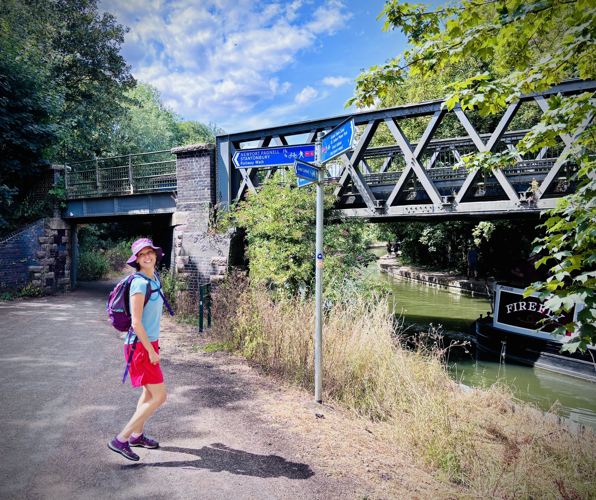
Continue walking parallel to the Grand Union Canal, pass under the old railway bridge, and keep walking on the canal's southern side.
Continue until you reach the Wolverton Road bridge. Cross over the Grand Union Canal to the north side, which brings you near the Black Horse pub.
Once over the bridge, take the footpath on the left off Wolverton Road to return to the canal towpath, and follow it in a north-westerly direction for about 200 meters.
Take the fork to leave the canal, joining the Midshires Way and Hanslope circular ride heading north-west through Stanton Low Park.
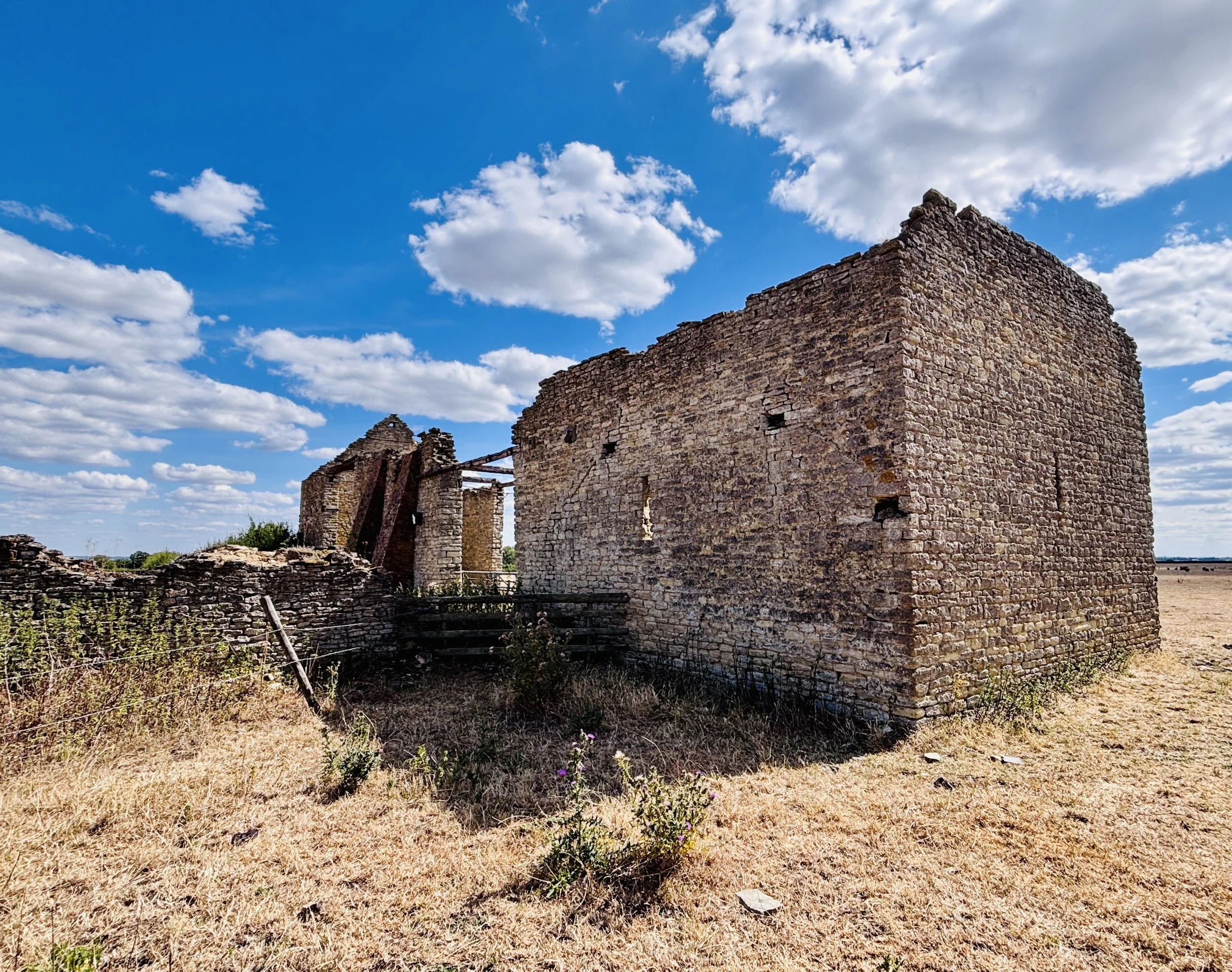
Pass the ruins of St. Peter's Church—the only remains of the old village of Stanton Low—and follow the path as it curves north along the eastern bank of the River Great Ouse.
Just over 3 km into the walk, cross the River Great Ouse via the footbridge, then continue until you reach the High Street.
Turn left onto the High Street, then take the first right to continue on the Midshires Way, heading north-west through the farmer's fields.
At the path junction, leave the Hanslope circular ride but stay on the Midshires Way, walking north and then curving north-east.
Upon reaching a T-junction just inside Little Linford Wood, turn right to rejoin the Hanslope circular ride. Follow the wood's eastern edge, then take a quick right through a farmer's field to meet Haversham Road.
Turn right onto Haversham Road, then left onto Little Linford Lane. (Note: You may see a road closed/diversion sign for a damaged bridge; this applies to vehicles, but you can still safely cross the bridge on foot).
Walk south-east along Little Linford Lane and pass over two bridges crossing the River Great Ouse (including the damaged one).
Immediately after crossing the second bridge, and importantly before crossing over the M1, turn right onto a footpath leading off Little Linford Lane.
Continue south along this path, keeping the lakes to your right-hand side, until you meet Wolverton Road.
Cross Wolverton Road and head south down Marsh Lane, crossing the Grand Union Canal at the Linford Wharf bridge.
Follow the road to the High Street, which will lead you back to the Great Linford Memorial Hall car park to finish the walk.
Points of Interest along or near to the Route
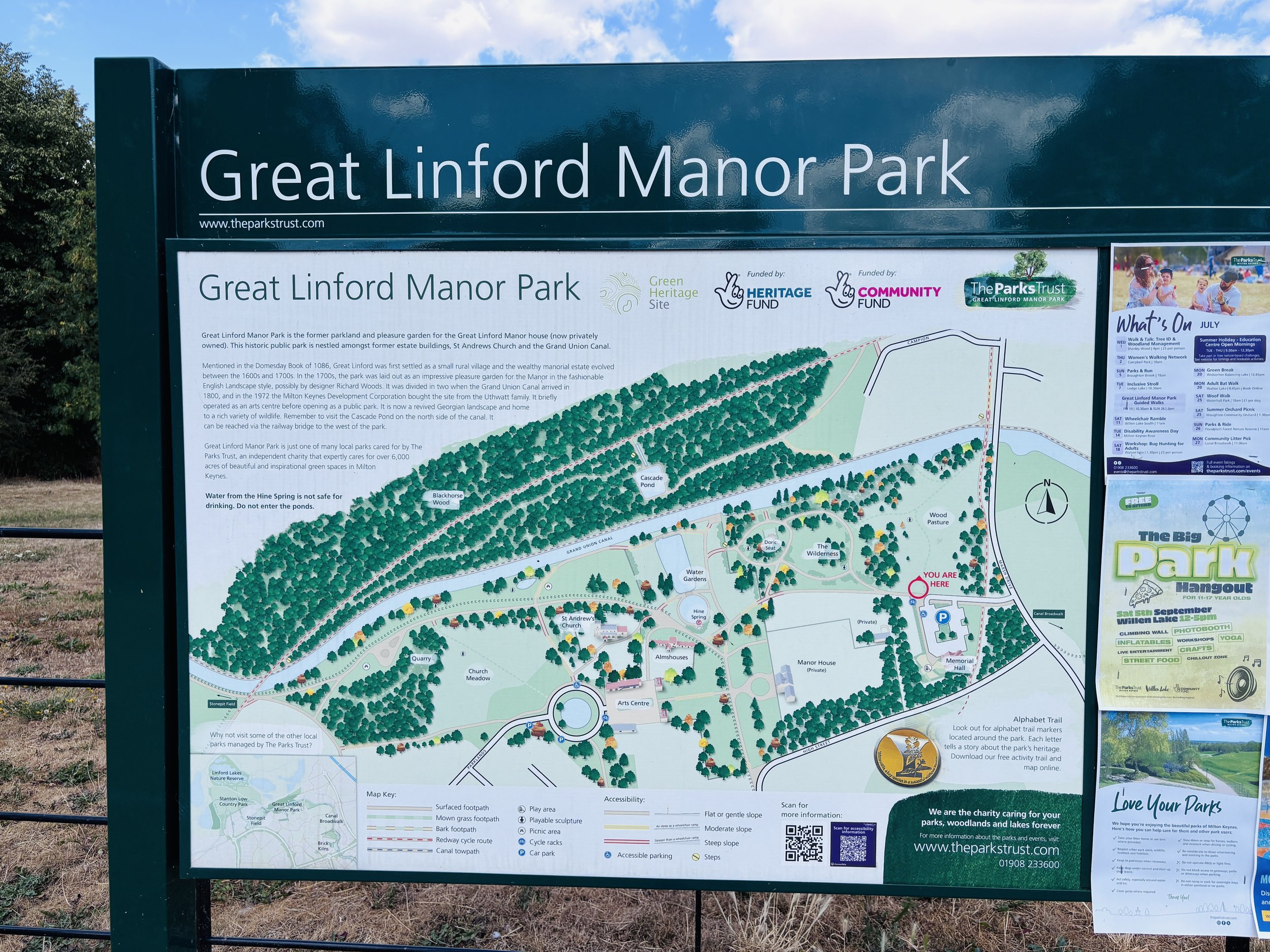
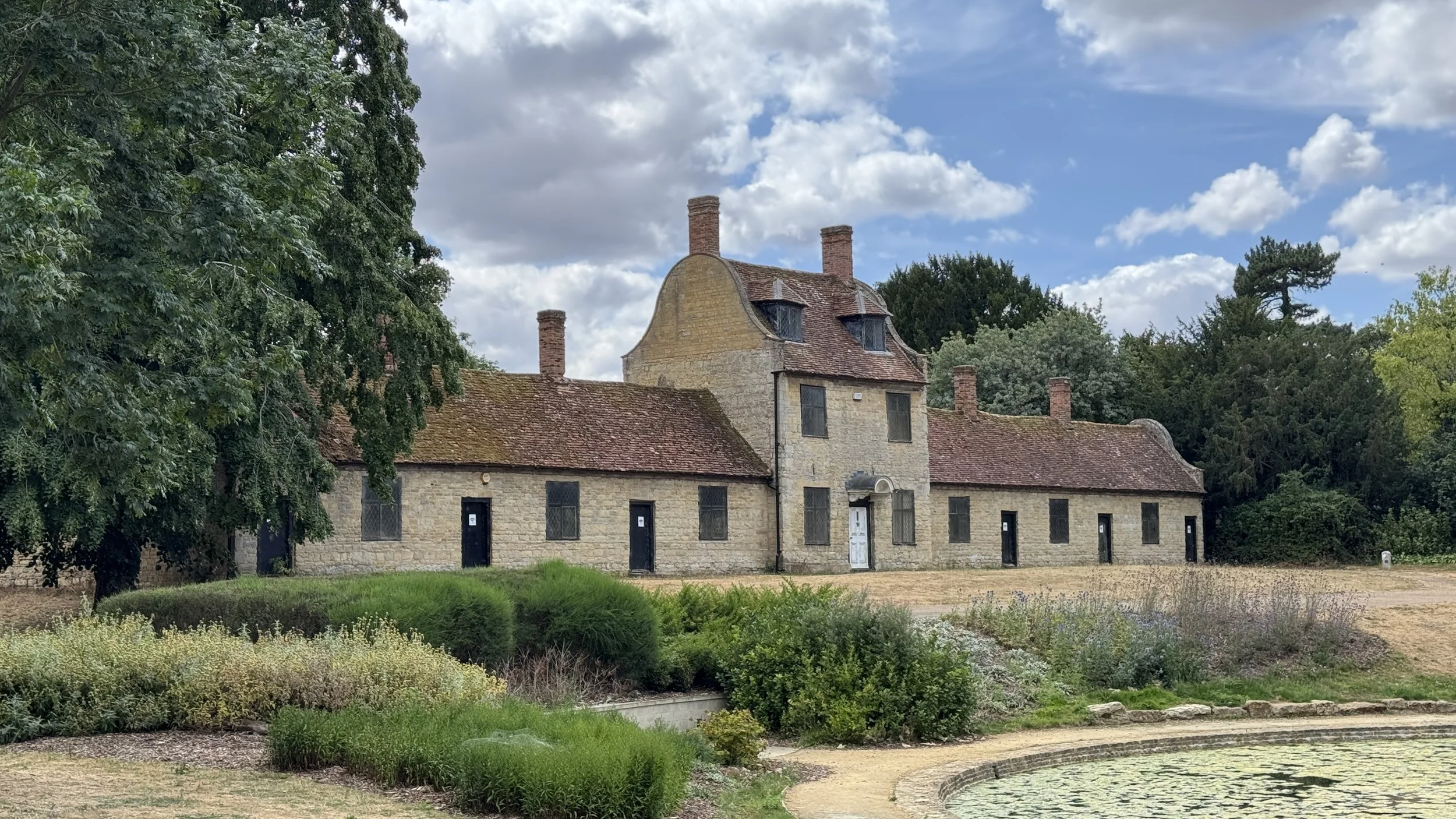
Great Linford Manor Park: Once the centre of a grand 18th-century estate, this parkland is a fascinating mix of history and nature. The site features formal ponds, ancient lime tree avenues, and the remnants of a lost wilderness garden. It serves as a vital green lung for Milton Keynes, providing a serene backdrop that belies its urban proximity.
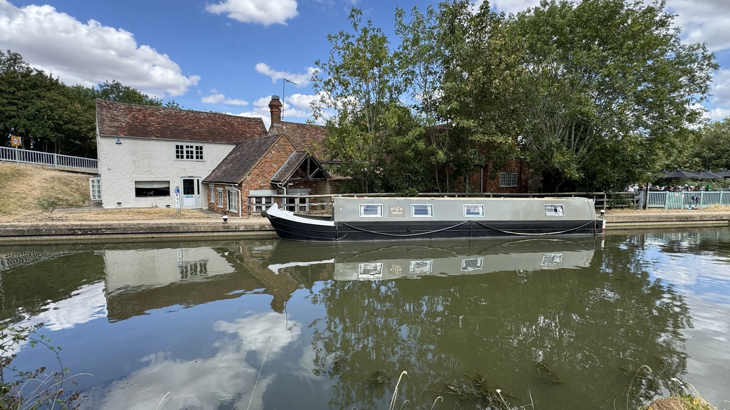
Grand Union Canal: Serving as a major artery of the British waterway network, this historic canal provides a scenic, tranquil corridor through the heart of Milton Keynes. The towpaths offer a pleasant waterside alternative to the paved redways: complete with colourful narrowboats and abundant aquatic wildlife.
Stanton Low Park: A lovely open space that features the remains of St Peter's Church and offers sweeping views across the Great Ouse valley. It provides a brilliant historical touch to the final stretch of the walk.
The River Great Ouse: This major waterway is the lifeblood of the local landscape. Flowing through the valley, it supports a rich biodiversity, including kingfishers, otters, and various coarse fish. The river meanders through ancient water meadows that have been grazed for centuries, offering an insight into the traditional rural landscape of North Buckinghamshire.
Little Linford Wood: This ancient woodland is a haven for wildlife. It is particularly noted for its varied flora, including carpets of bluebells and wood anemones in the spring. The wood has remained largely undisturbed, reflecting the medieval landscape and providing a crucial habitat for woodland butterflies and birds.
Linford Lakes Nature Reserve: Situated close to the route, this wetland area is a haven for local birdlife and wildlife. It was established around former gravel pits and serves as a fantastic spot for nature enthusiasts.
Midshires Way previous section (south): Bradwell Abbey and Linford Wood
Midshires Way next section (north): Stoke Goldington and Tathall End