Walking The Midshires Way Part 14: Bradwell Abbey and Linford Wood
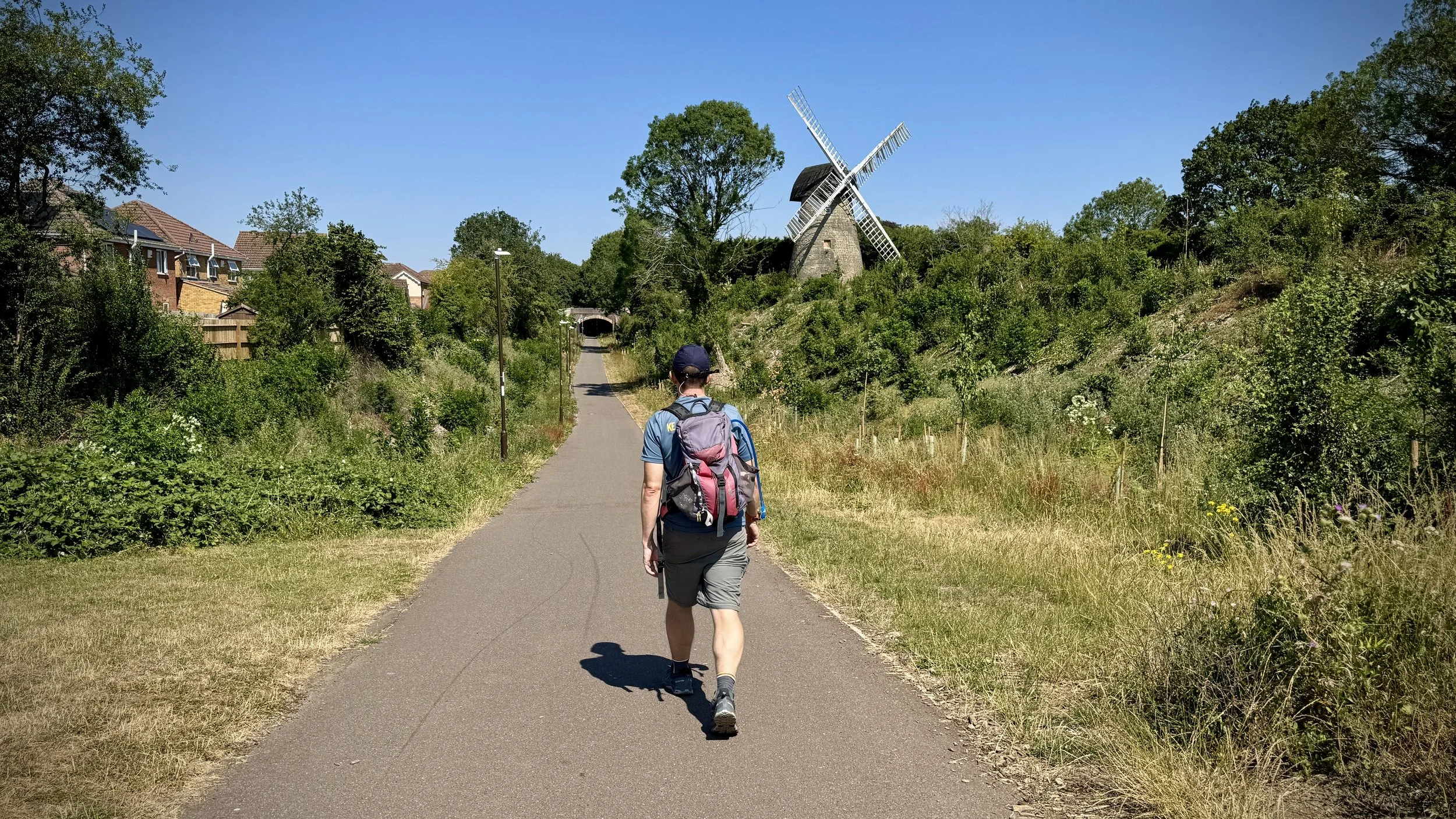
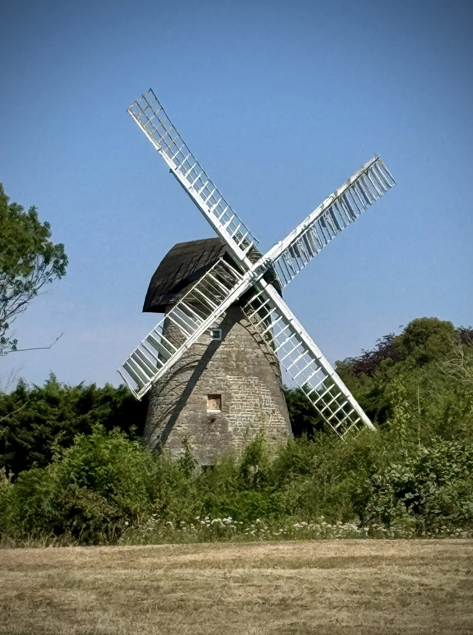
Along the disused railway by Bradwell windmill
Start & Finish: Lodge Lake Car Park, Bradwell Road, Loughton Lodge, Great Holm, Milton Keynes, MK8 9LG
Distance: 11.6 km (7.2miles)
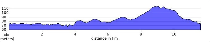
Elevation change: +/- 84m
Terrain: Predominantly flat, well-paved redways and shaded woodland paths suitable for most weather conditions.
Midshires Way section covered: Lodge Lake to Great Linford: 6.1 km
GPX File: get via Buy Me a Coffee
Other routes touched (walk): Midshires Way, The Swan Way, Hanslope Circular Ride, Railway Walk
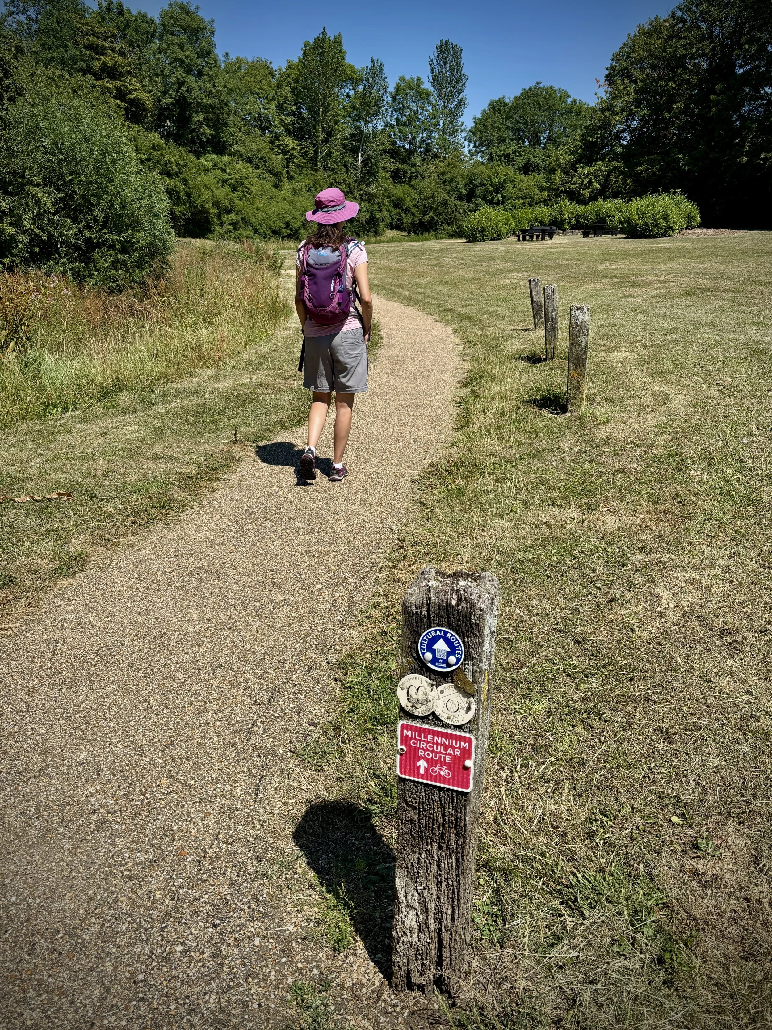
Other routes touched (cycle): NCN 6, Milton Keynes Redways: H4, V6, V8, Millennium Circular Route
Pubs / Cafes on route: Costa Coffee (8.3 km in)
Map: Buckingham & Milton Keynes Map | Leighton Buzzard & Woburn | Ordnance Survey | OS Explorer Map 192
Links: Milton Keynes, Bradwell Abbey, Linford Wood, Milton Keynes redway system, Concrete Cows, Bancroft Roman Villa, Bradwell Windmill, Wolverton to Newport Pagnell Line, Grand Union Canal
Welcome to Part 14 of our series of short circular walks along the Buckinghamshire section of the Midshires Way. For a complete overview of the 225-mile trail's history, its connection to the Swan's Way, and preparation tips, please read my complete Midshires Way Through Buckinghamshire Guide.
Walking Directions
This relatively flat and accessible route takes you from the historic medieval grounds of Bradwell Abbey, winding through the city's unique redway network, and into the ancient greenery of Linford Wood. It is a fantastic mix of history and modern urban planning: offering plenty of shade and solid footing for year-round walking.
As you make your way northwards, you will cross under and over some of the major grid roads, highlighting how seamlessly nature is integrated into the city's design. The woods themselves are a haven for local wildlife, and if you are a fan of parkrun, you might recognise some of the paths as you loop through the trees before heading back towards your starting point.
The guidance below will help you navigate but don’t use it as a fully accurate turn-by-turn guide. Always take a map and/or a GPX route and prepare well for the weather and terrain.
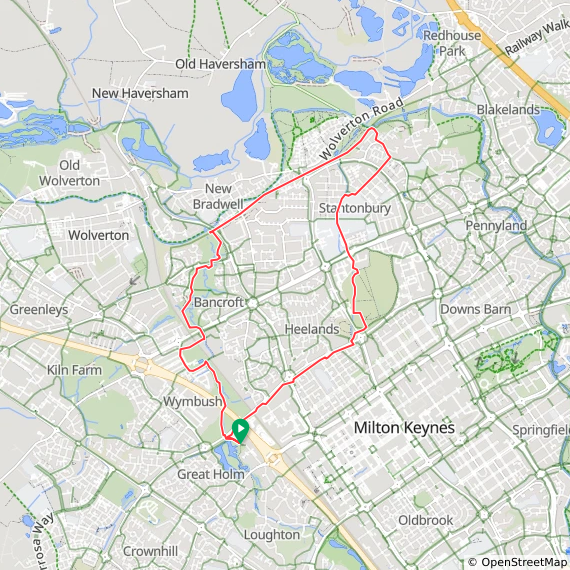
Start your walk at the Lodge Lake car park: there is free parking here for approximately 20 cars. From the car park, head left to walk anti-clockwise around the beautiful lake in a north-westerly direction, picking up the Midshires Way.
Just before you reach Loughton Brook, take a right off the main lake path and head through the underpass beneath the Dansteed Way dual carriageway.
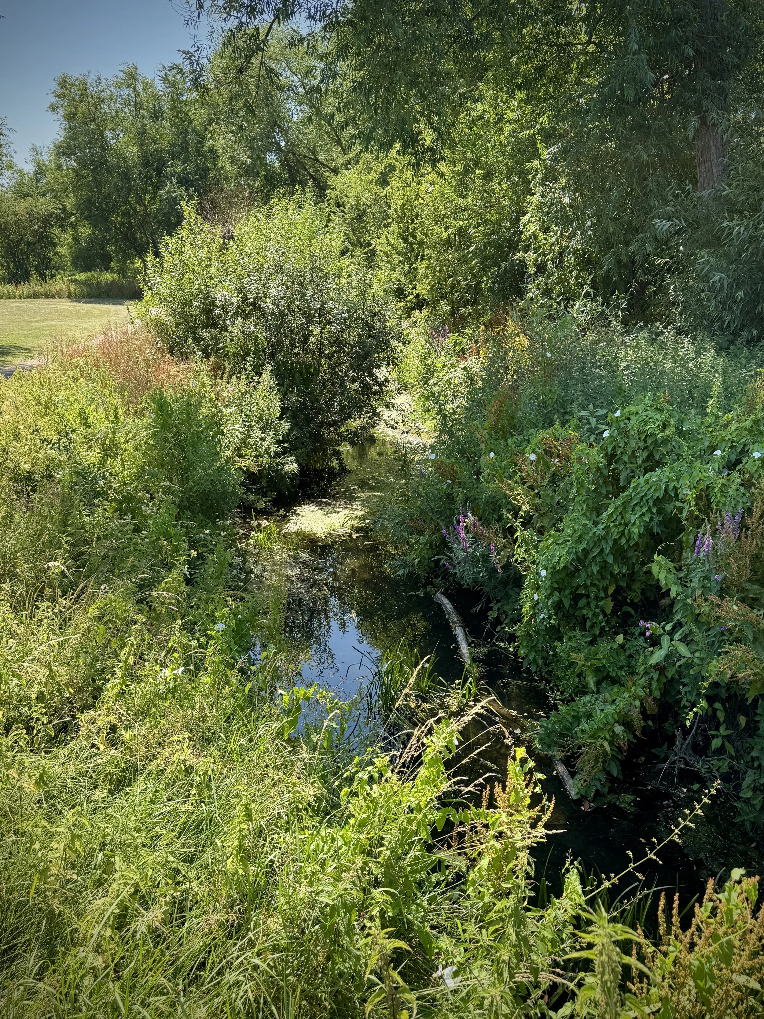
As you emerge from the underpass, cross the lovely small wooden footbridge over Loughton Brook and immediately turn right. This keeps you on the Midshires Way as it winds through Loughton Valley Linear Park.
Keep heading north with the brook on your right, passing under the A5 via another underpass, and continue on your north-westerly path.
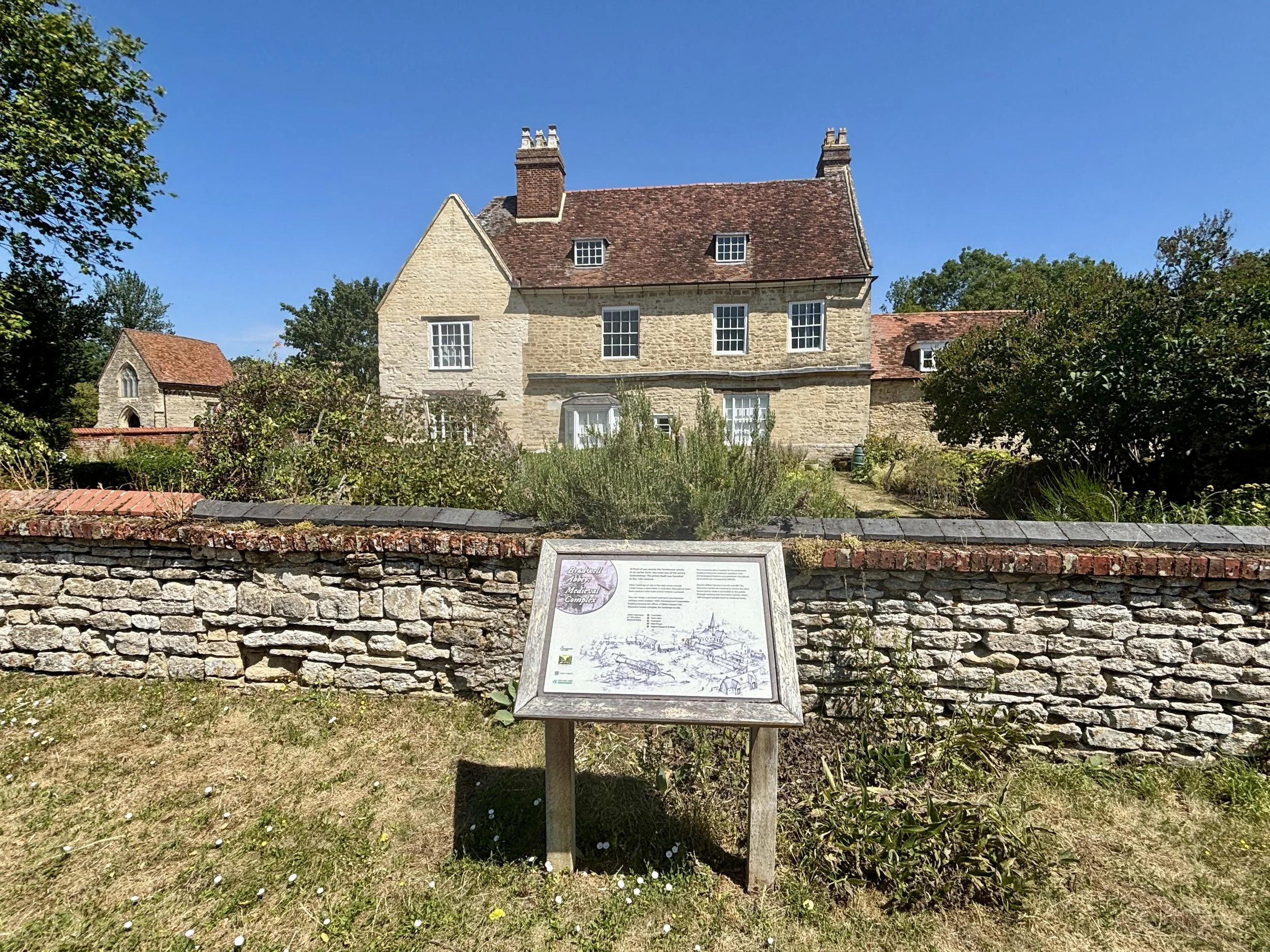
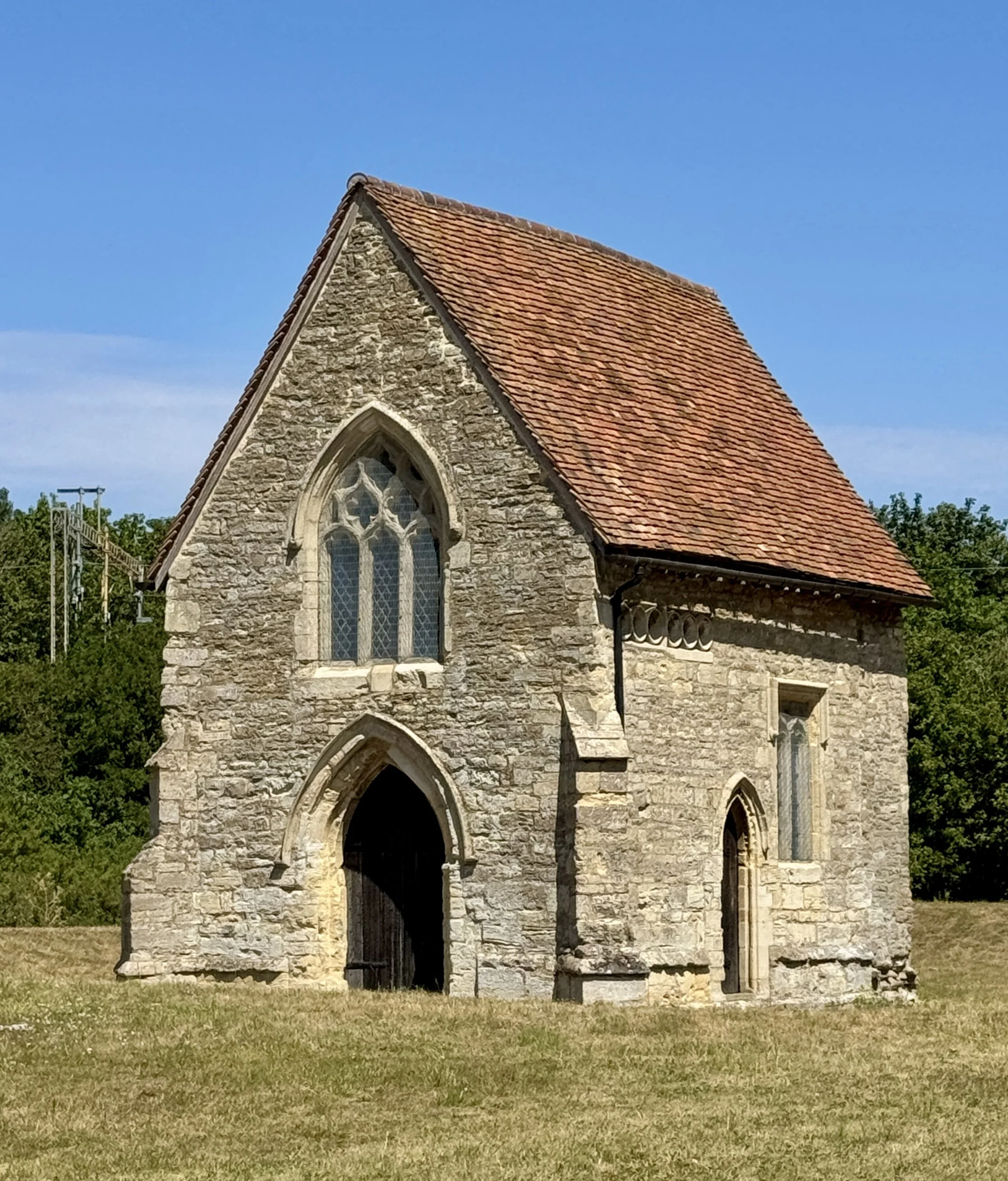
At the 1.2-kilometre mark, you will hit a T-junction where you need to take a left. The official Midshires Way skirts around the boundary of Bradwell Abbey here, but I highly recommend taking a little shortcut through the abbey's nature trail. It is a fantastic spot to see the remains of the old abbey buildings and read the notice boards to soak up some local history.
Once you are on the northern side of the abbey, rejoin the Midshires Way heading north-east and cross under the main railway line.
When you meet Loughton Brook again, the path curves to the north. Keep following the Midshires Way north straight through the park until you reach the underpass for Miller's Way.
Head under Miller's Way and stick to the Midshires Way, which now puts you on the eastern side of the brook.
Just before the 4-kilometre mark, you will pass under the bridge of the old railway line that ran parallel to the Grand Union Canal. Walk under the bridge, take the ramp up onto it, and follow this old railway walk (which also doubles as a cycle route) in a north-westerly direction.
Keep an eye out on your right for the Bradwell Windmill: it is a brilliant spot to pause for some photos.
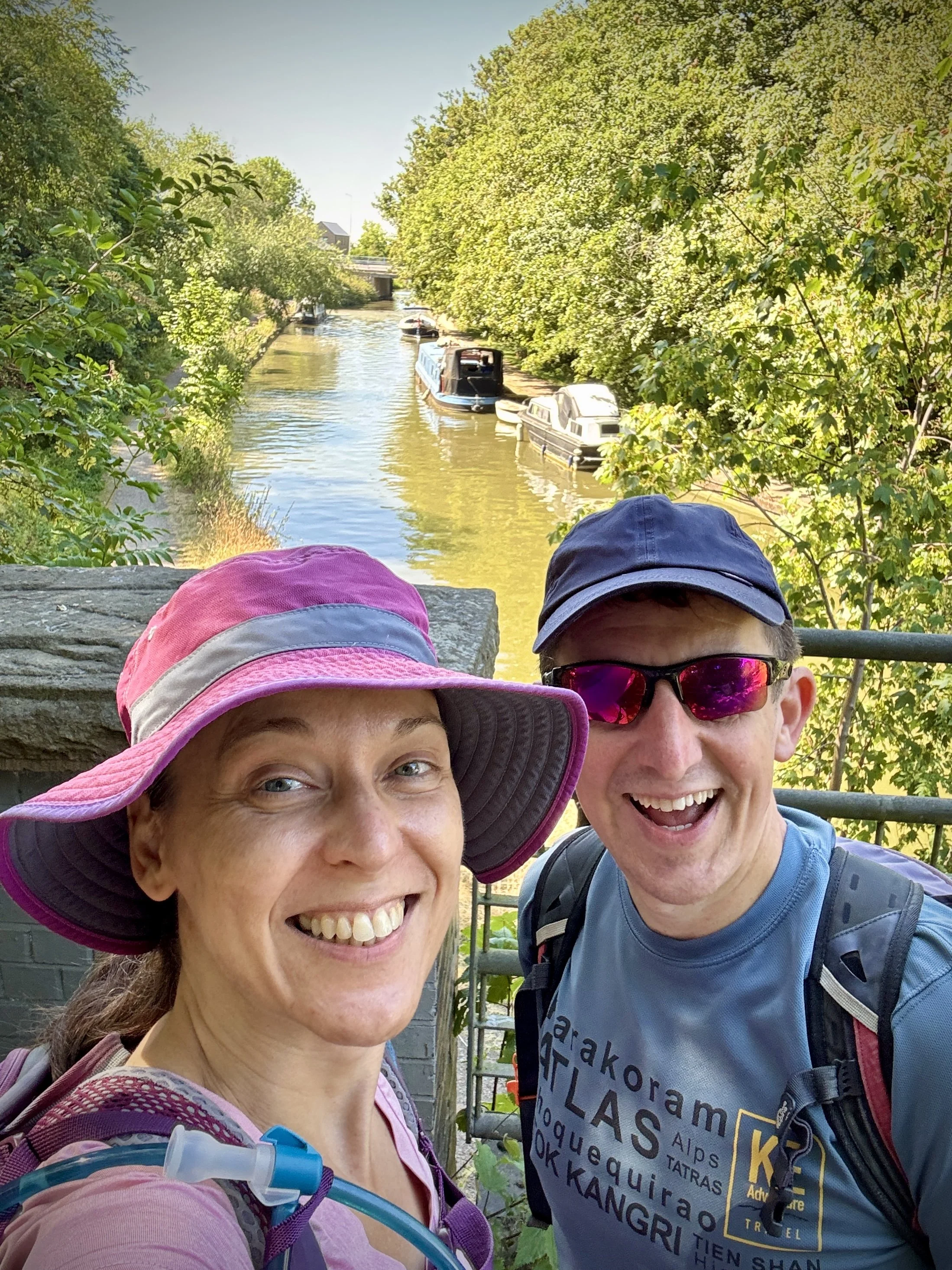
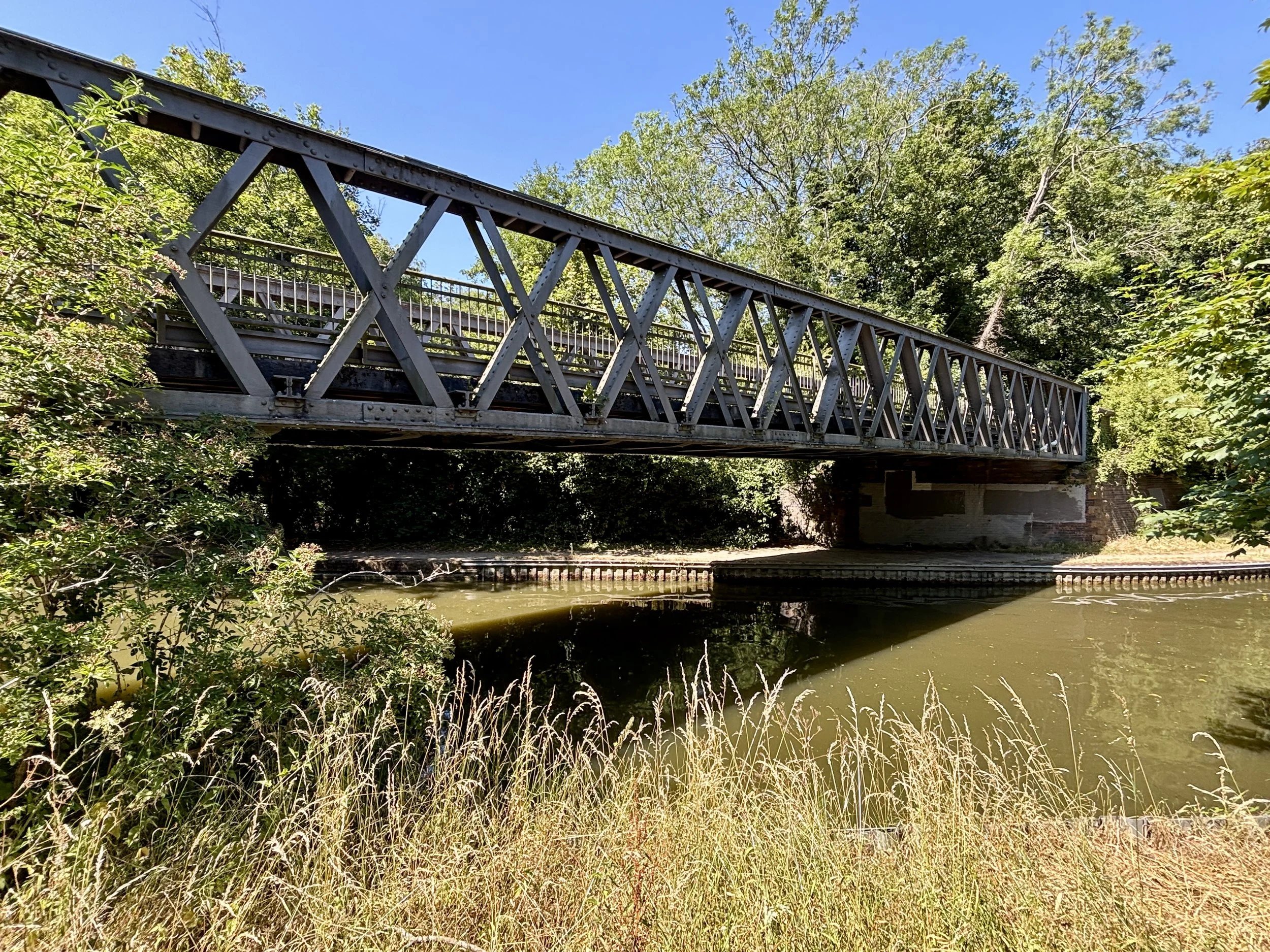
Stay on the Midshires Way along the disused railway line until just after the 6-kilometre mark. You will reach the Grand Union Canal and an old disused railway bridge. Do not cross this bridge! This is the point where we leave the Midshires Way to loop back towards the start.
Come off the bridge on the eastern side into an area known as the Quarry within Great Linford Manor Park.
Follow the path as it snakes down into St Leger Drive. Walk along the drive for about 100 metres, and just after Butler's Grove, take a right onto a footpath.
This path takes you through some quiet residential areas of Stantonbury and over a bridge crossing Marlborough Street.
You will soon meet another little stream: follow it down until you reach the underpass beneath Muck's Way.
Head through the underpass, and you will find a service area on the southern side with a McDonald's and a Costa Coffee. It is the perfect excuse for a quick tea break before tackling the small hill coming up!
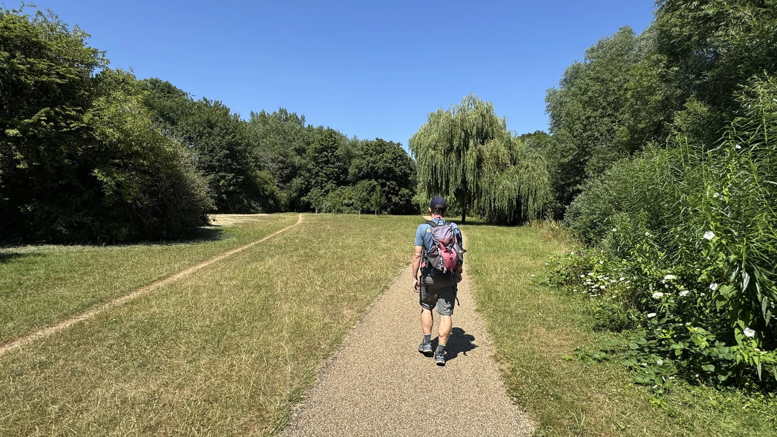
Suitably refreshed, follow the path heading south up through the peaceful Linford Wood.
Emerge from the wood at Saxton Street. Cross over Saxton Street and Stanton Wood, then head under Dansteed Way to its southern side.
From here, it is a straightforward walk back: follow the path running parallel to the south side of Dansteed Way in a south-easterly direction.
Pass under Grafton Street via the underpass, keep on that south side of Dansteed Way, and it will lead you all the way back to your car at Lodge Lake.
Points of Interest along or near to the Route
Bradwell Abbey A scheduled ancient monument that was once a thriving medieval Benedictine priory. Today, only the small but historically significant Chapel of St Mary remains largely intact: featuring fascinating 14th-century wall paintings that are beautifully preserved.
Linford Wood An ancient woodland dating back at least 700 years, providing a vital green space within the Milton Keynes grid. It offers a dense canopy of oak and ash trees and features several public art installations scattered along its tranquil footpaths.
Milton Keynes Redways The extensive network of shared-use paths that crisscross the city. They provide safe, traffic-free routes for walkers and cyclists: uniquely integrating nature corridors and underpasses into the modern urban landscape.
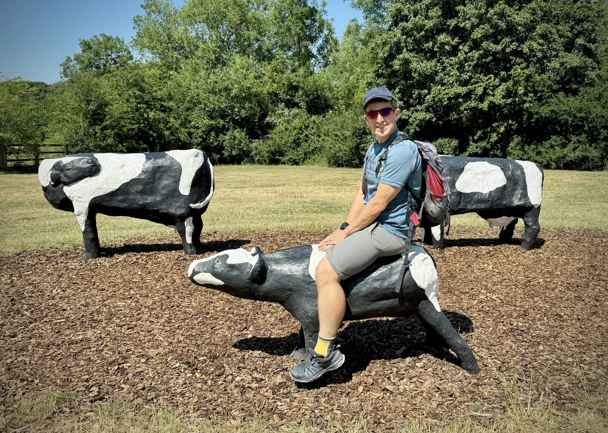
Concrete Cows Created in 1978 by artist Liz Leyh and local schoolchildren, with subsequent repair work by Bill Billings, these iconic sculptures have become synonymous with Milton Keynes. While the original cows now reside at the Milton Keynes Museum, exact replicas stand at the original Bancroft site just off the redway network.
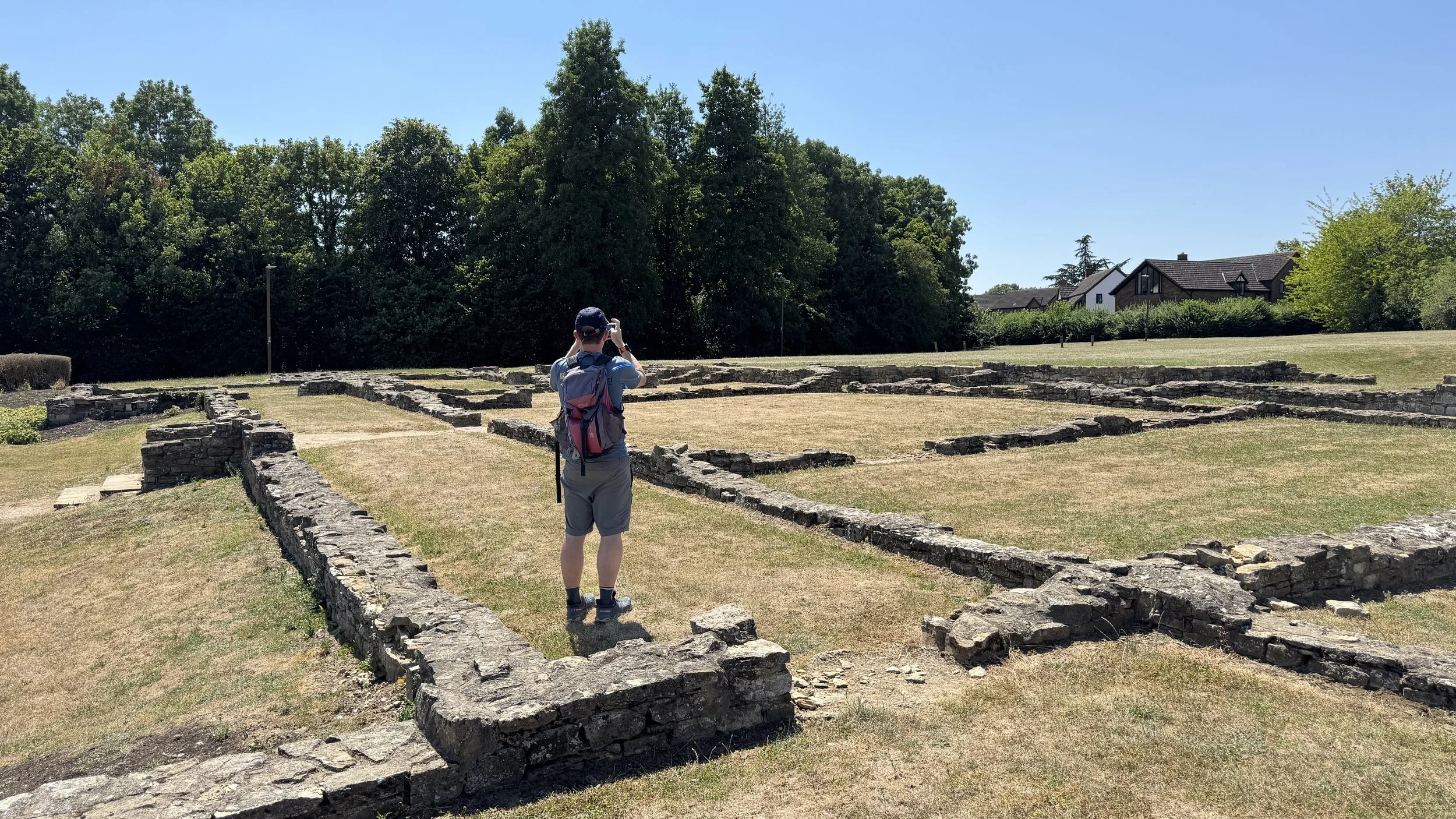
Bancroft Roman Villa This archaeological site preserves the foundations of an extensive Roman farming settlement and villa complex dating back to the late 1st century. Visitors can explore the outlined footprints of the ancient buildings and view interpretation boards detailing the history of the site: an excellent historical detour from the main path.
Bradwell Windmill Erected around 1814, this historic stone tower mill is a striking local landmark that was fully restored to working order in the late 20th century. It sits close to the canal and occasionally opens to the public during summer weekends: offering a fascinating glimpse into the area's agricultural past.
The Disused Railway Running adjacent to the canal in places, remnants of the old Wolverton to Newport Pagnell branch line can still be traced through the landscape. Much of this former railway trackbed has been cleverly repurposed by city planners: now serving as a wide, flat section of the modern redway system.
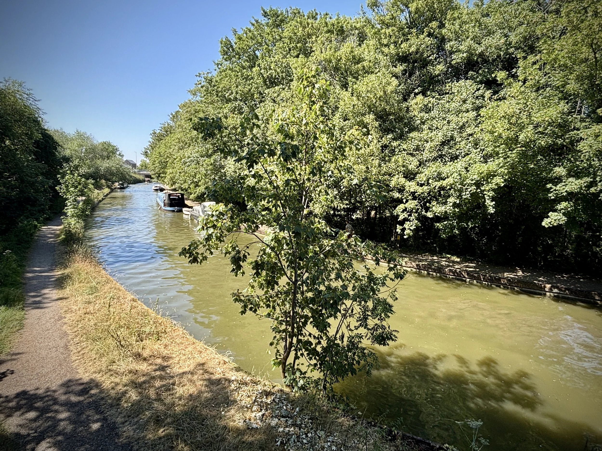
Grand Union Canal Serving as a major artery of the British waterway network, this historic canal provides a scenic, tranquil corridor through the heart of Milton Keynes. The towpaths offer a pleasant waterside alternative to the paved redways: complete with colourful narrowboats and abundant aquatic wildlife.
Midshires Way previous section (south): Oakhill and Loughton
Midshires Way next section (north): Stantonbury Lake and Little Linford