Walking The Midshires Way Part 13: Oakhill and Loughton
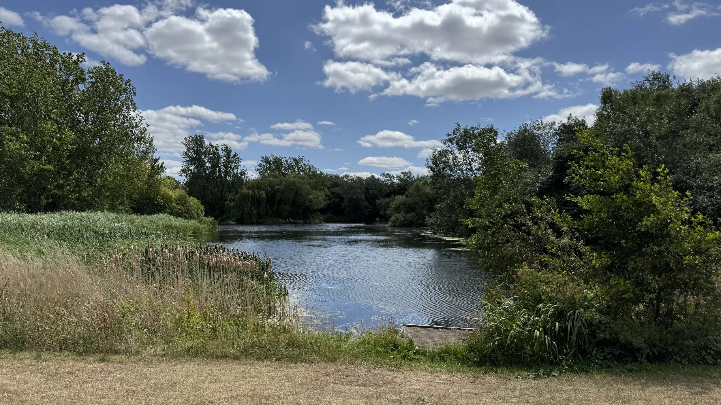
Lodge Lake, Great Holm
Start & Finish: Lodge Lake Car Park, Bradwell Road, Loughton Lodge, Great Holm, Milton Keynes, MK8 9LG
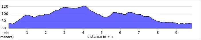
Distance: 9.8 km (6.1 miles)
Elevation change: +/- 84m
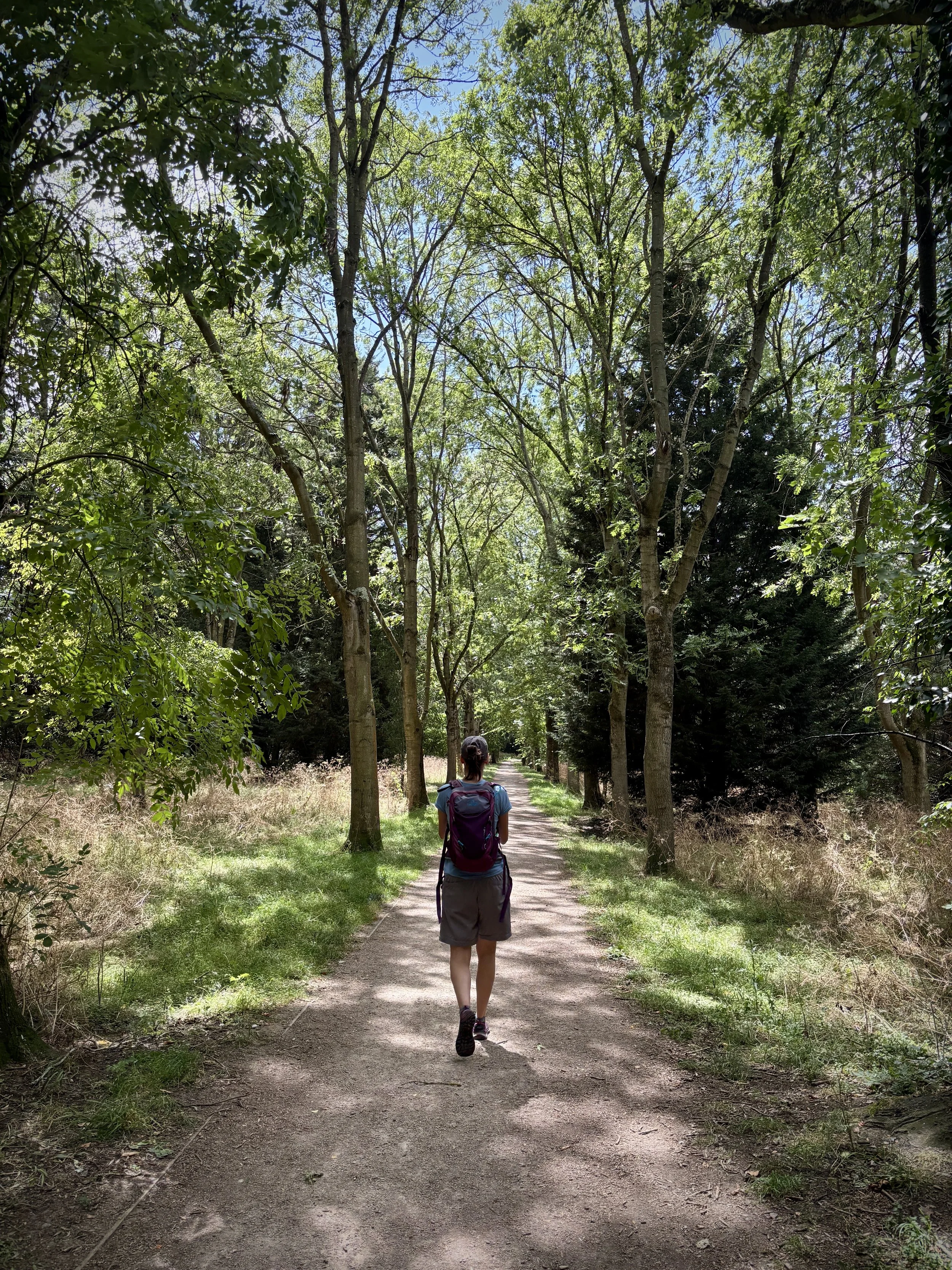
Terrain: A mix of ancient woodland paths, paved Milton Keynes redways, and grassy parkland trails.
Midshires Way section covered: Oakhill to Lodge Lake: 5.8 km
GPX File: get via Buy Me a Coffee
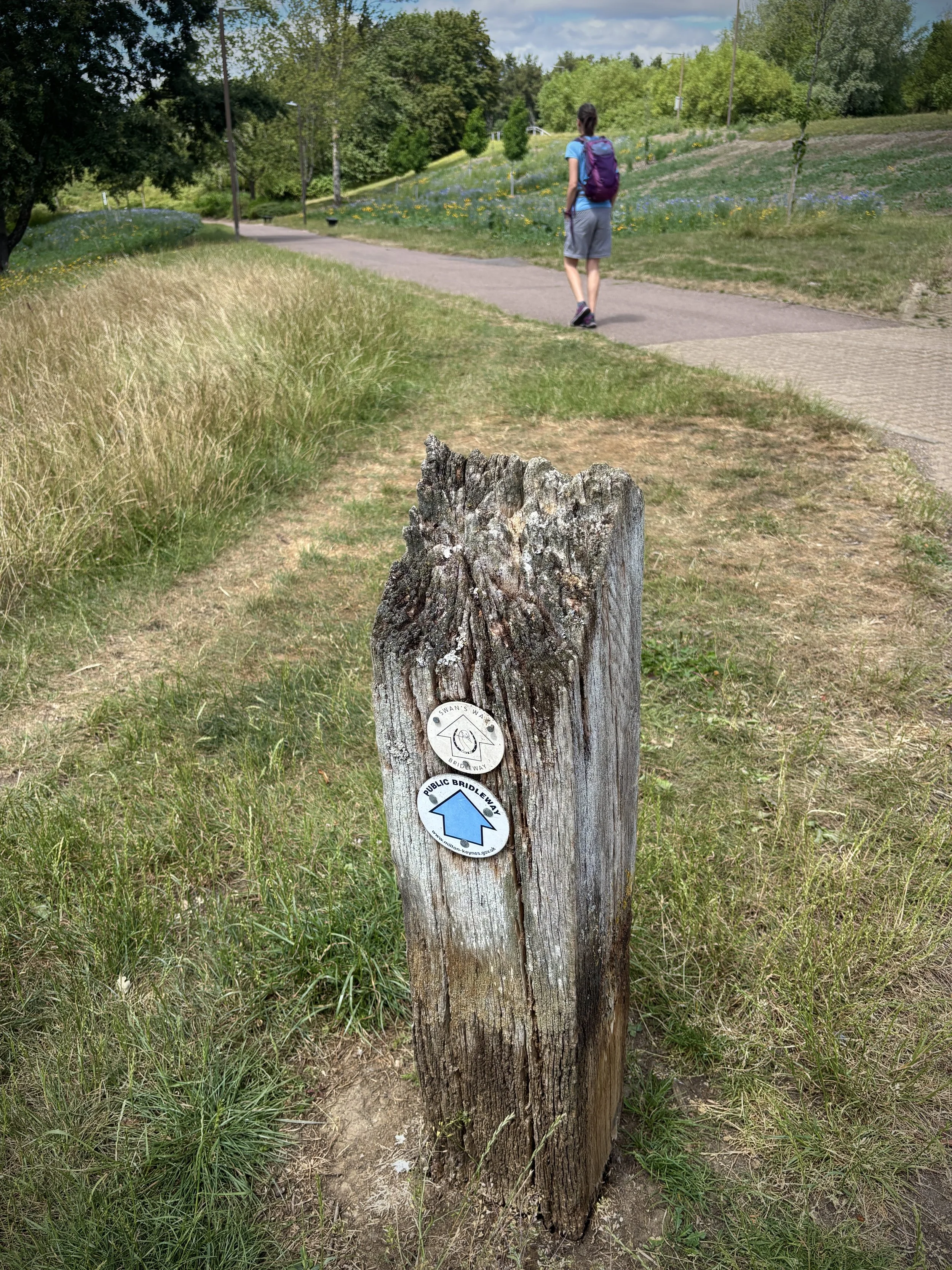
Other routes touched (walk): Midshires Way, The Swan Way, North Bucks Way, Milton Keynes Boundary Walk
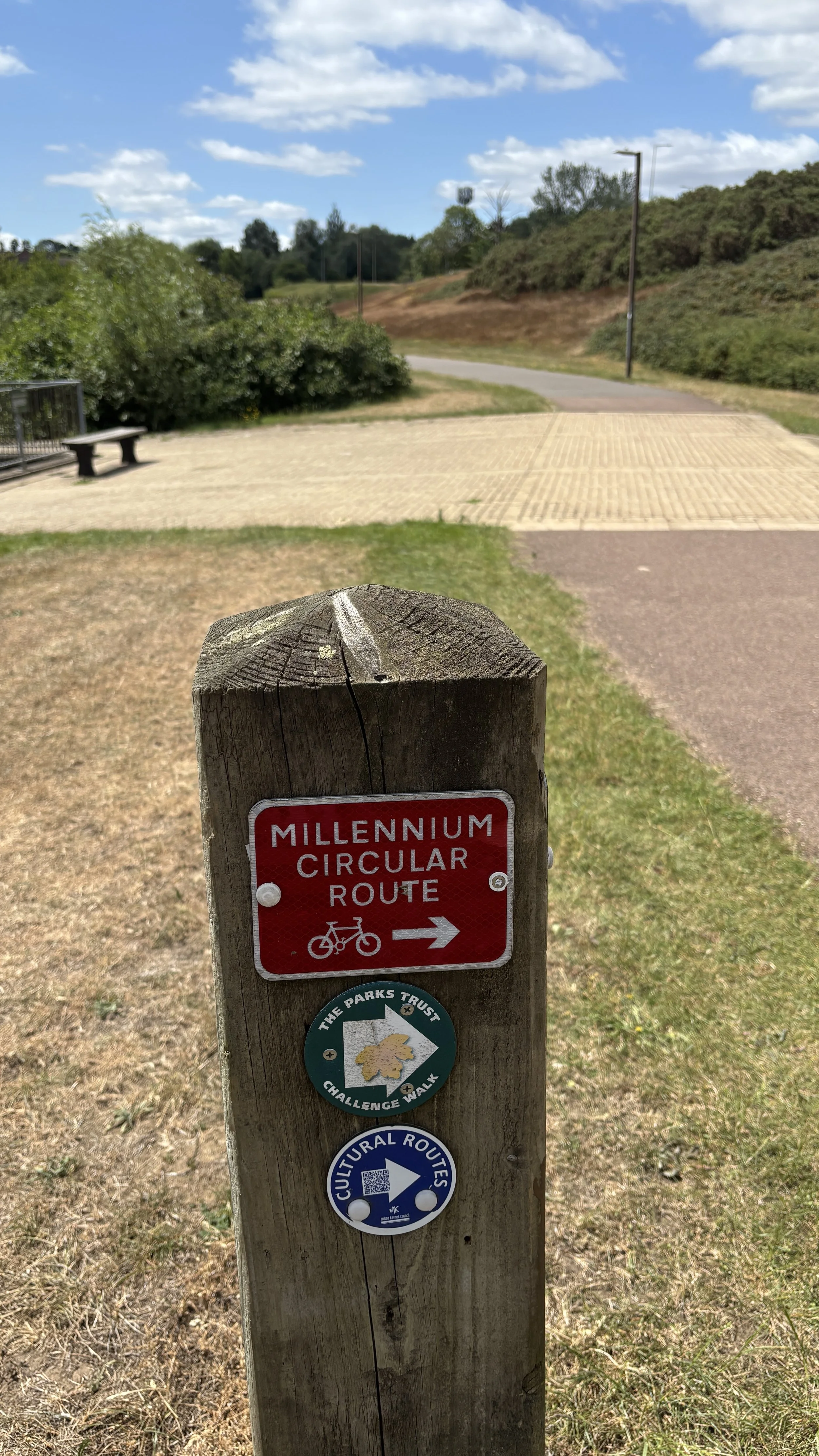
Other routes touched (cycle): Milton Keynes Redways: H4, V2, V4, Millennium Circular Route
Pubs / Cafes on route: Kensington Pub (0.8 km in)
Map: Buckingham & Milton Keynes Map | Leighton Buzzard & Woburn | Ordnance Survey | OS Explorer Map 192
Links: Milton Keynes, Loughton
Welcome to Part 13 of our series of short circular walks along the Buckinghamshire section of the Midshires Way. For a complete overview of the 225-mile trail's history, its connection to the Swan's Way, and preparation tips, please read my complete Midshires Way Through Buckinghamshire Guide.
Walking Directions
This stage of the Midshires Way takes walkers from Lodge Lake deep into the surprisingly green corridors of Milton Keynes. While Milton Keynes is often associated with its modern grid system, this route beautifully showcases how ancient villages like Loughton were carefully preserved and integrated into the city's design. It provides a brilliant contrast between historical Buckinghamshire and modern urban planning.
The route is mostly flat and relies heavily on the city's extensive network of pedestrian pathways and parkland trails, making it highly accessible year-round. Along the way, you will trace the borders of historic woodlands, pass by centuries-old village architecture, and perhaps even find time for a detour to a local parkrun if you are walking on a Saturday morning.
The guidance below will help you navigate but don’t use it as a fully accurate turn-by-turn guide. Always take a map and/or a GPX route and prepare well for the weather and terrain.
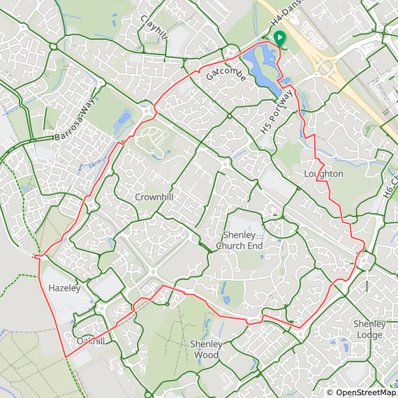
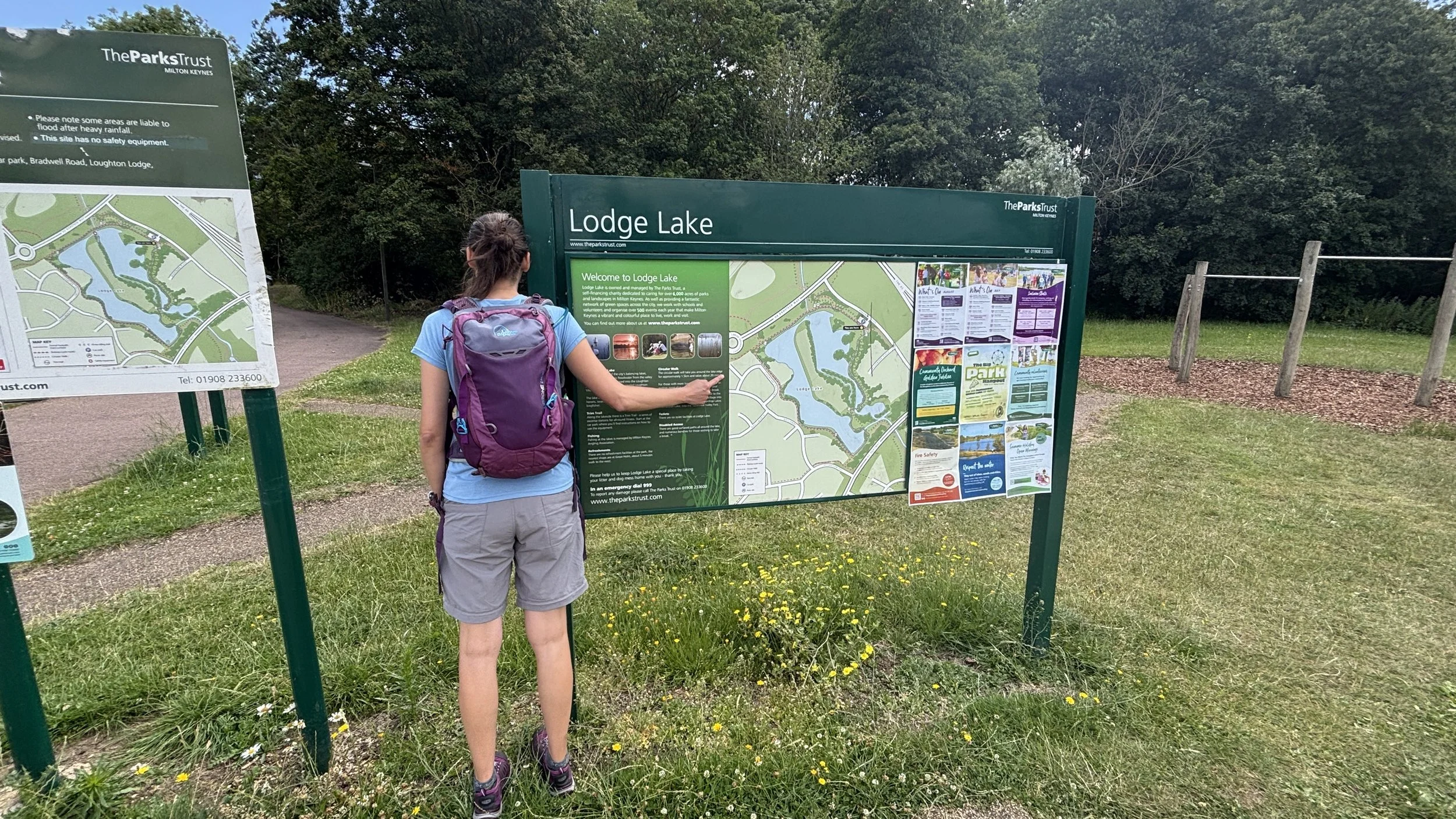
Start off at Lodge Lake car park, which is just off Bradwell Road from the Dansteed Way dual carriageway. There is free parking for about twenty cars, and it makes a great starting point with plenty of route options around the water.
From the car park, head around the lake in an anti-clockwise direction.
Pick up the path that runs parallel to Dansteed Way along its southern edge.
After just under one kilometre, you will walk past the Kensington pub: it is a nice spot for a quick drink if you fancy one, even if it is a bit early in the trip.
Keep heading south-west until the 1.8 kilometre mark, then cross over Dansteed Way at the traffic lights onto Randall Avenue.
Take an immediate left to dip into the woodland, following a lovely little trail with a stream on your right and Dansteed Way on your left.
Continue south-west until you reach the roundabout connecting Barossa Way and Tattenhoe Street.
Cross Barossa Way to join the North Bucks Way: this is a really peaceful section as you get away from the busy roads and houses for a bit.
Head south along the North Bucks Way until you reach the four kilometre mark, then take a left to rejoin the Midshires Way right where we left off on section twelve.
Wander north-east through a quiet residential part of Oak Hill, then follow the path as it curves south-west along the south side of Fulmer Street.
Just past the six kilometre mark, pop under the underpass and stick to the Midshires Way on the north side of Fulmer Street.
The route curves left to head north-east parallel to Chazey Way, before taking you under the busy Watling Street via another underpass.
Curve left heading north-north-west through Loughton: this is a rather nice area with some big houses, open ground, and a great view across to Central Milton Keynes over on the eastern side.
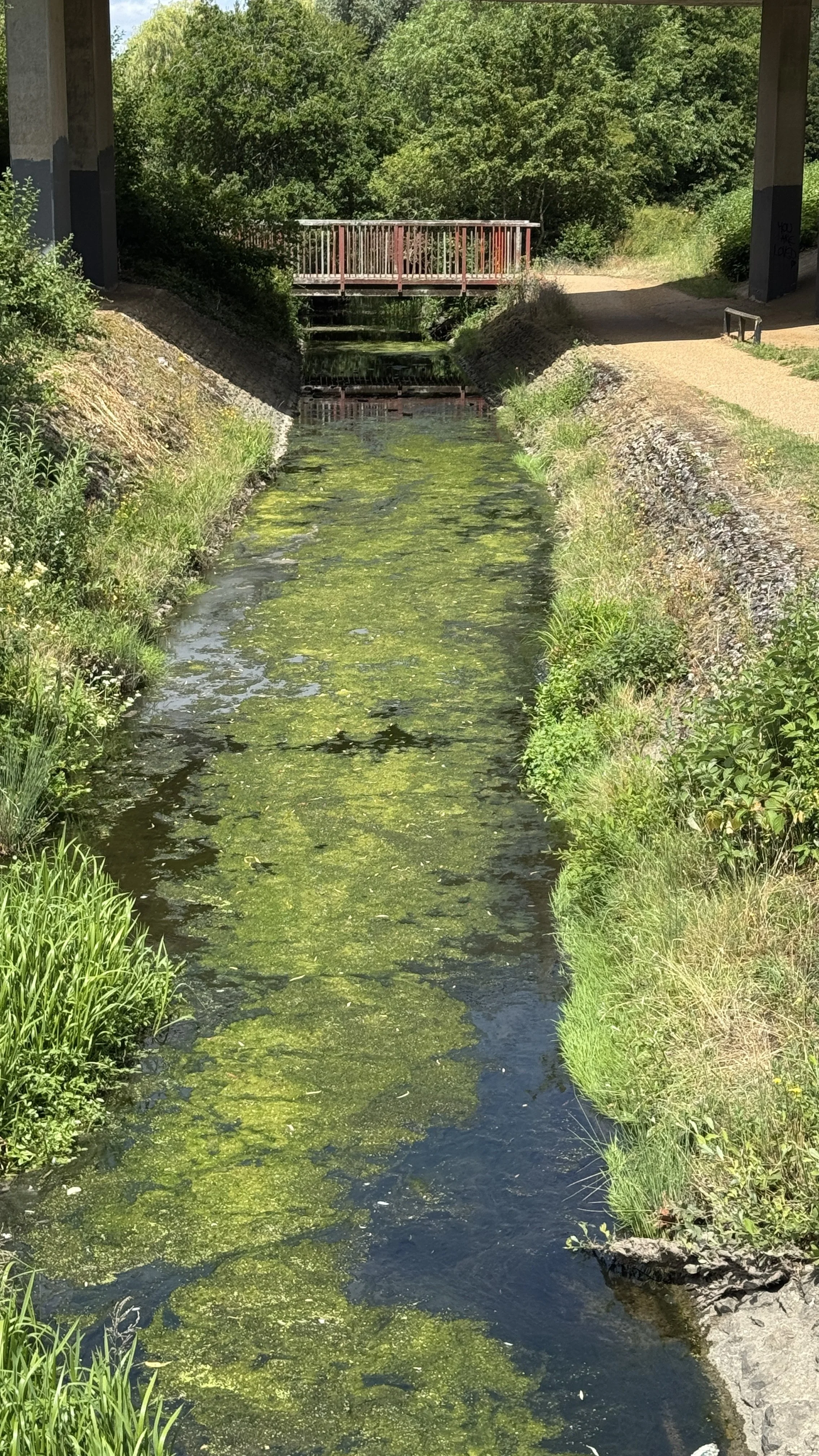
Finally, keep following the route past the miniature railway, cross over Loughton Brook, and simply follow the water all the way back to Lodge Lake to finish up.
Points of Interest along or near to the Route
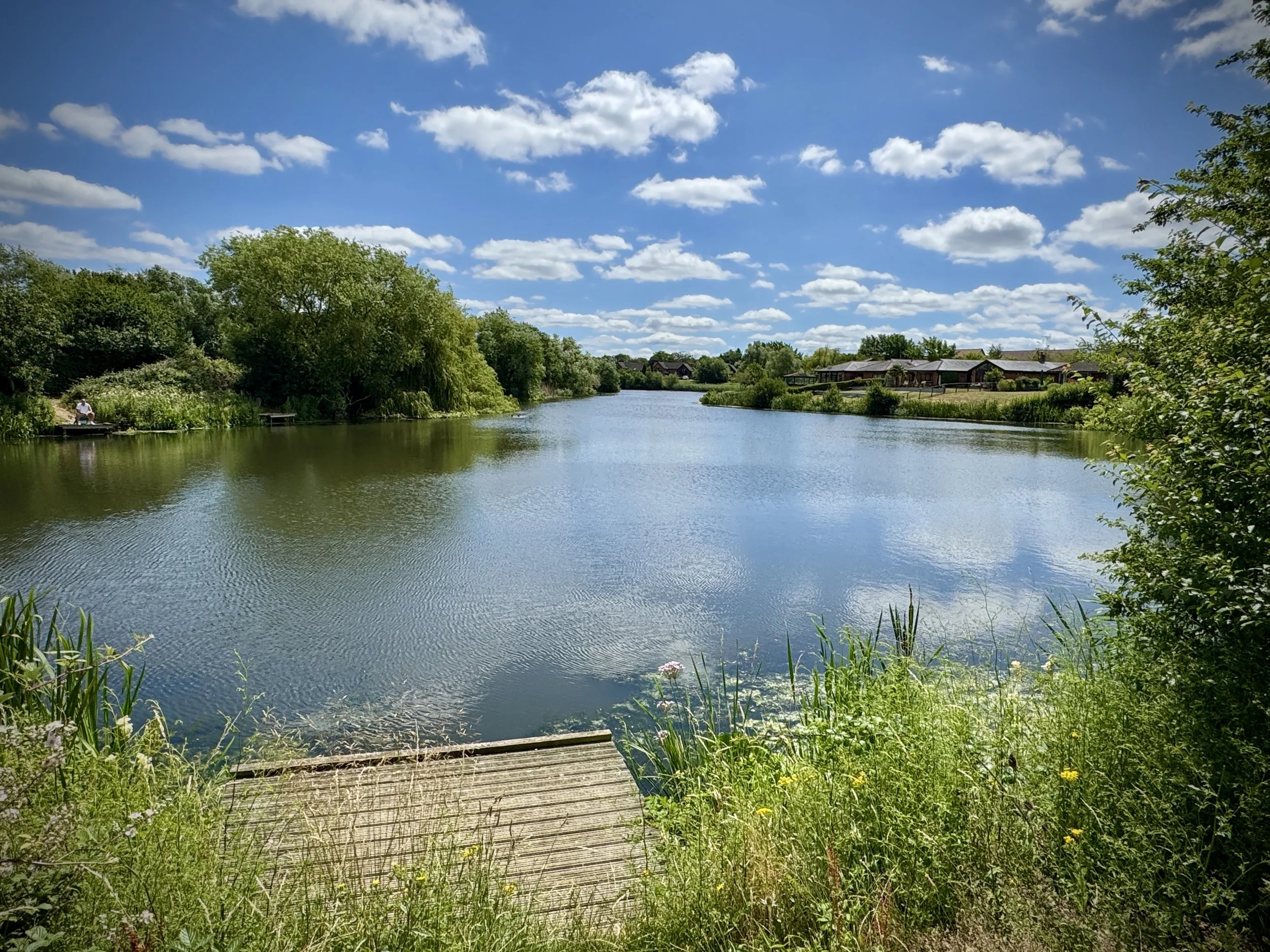
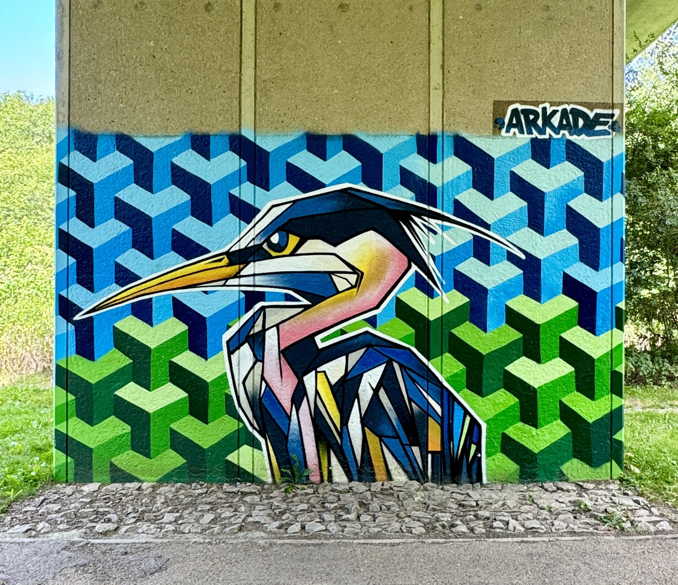
Lodge Lake & Great Holm Built in the early 1980s as a balancing lake to manage flood risks from the Loughton Brook, Lodge Lake has matured into a thriving natural ecosystem. It provides a vital habitat for local birdlife, making it an excellent spot for birdwatching. Keep an eye out for herons, swans, and even the occasional kingfisher as you navigate the water's edge at the start and finish of your walk.
Oakhill Wood forms part of the long‑established woodland belt on the western edge of Milton Keynes. Though not formally designated as ancient woodland, it has been present in the landscape for centuries and provides a rich habitat for local wildlife. Its shaded paths offer a welcome sense of seclusion, creating a natural green buffer between the modern grid roads and the older settlements nearby.
Loughton is one of Milton Keynes’ most historic settlements, recorded in the Domesday Book and still centred around its traditional village green. Absorbed into the new town’s designated area in the early 1970s, it has retained its medieval street pattern and a remarkable collection of historic buildings. Timber‑framed cottages, farmhouses, and remnants of ancient field boundaries preserve the character of a Buckinghamshire village that predates the city by nearly a millennium.
All Saints Church is the oldest surviving building in Loughton and a Grade II* listed landmark. Its earliest sections, the nave and chancel, date from the early 13th century, with later medieval additions shaping the church’s distinctive profile. Set amid the village’s green spaces and surrounded by modern Milton Keynes, it stands as a striking reminder of the area’s deep historical roots.
The Milton Keynes Redway Network A significant portion of this route utilises the city’s Redways—a unique, traffic-free network boasting over 200 miles of shared-use paths for pedestrians and cyclists. These verdant, tree-lined corridors safely connect communities and parks away from the roads, demonstrating how modern urban planning can successfully blend seamlessly with nature.
Midshires Way previous section (south): Whaddon and Oakhill Wood
Midshires Way next section (north): Bradwell Abbey and Linford Wood