Walking The Midshires Way Part 12: Whaddon and Oakhill Wood
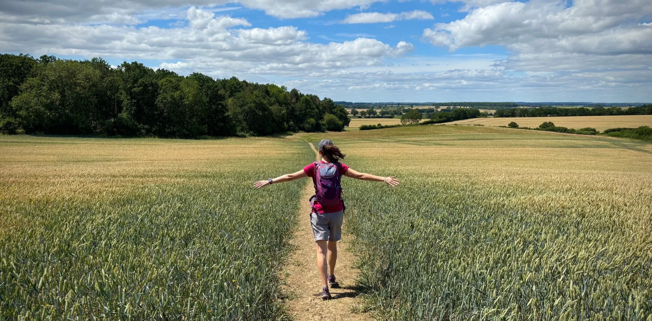
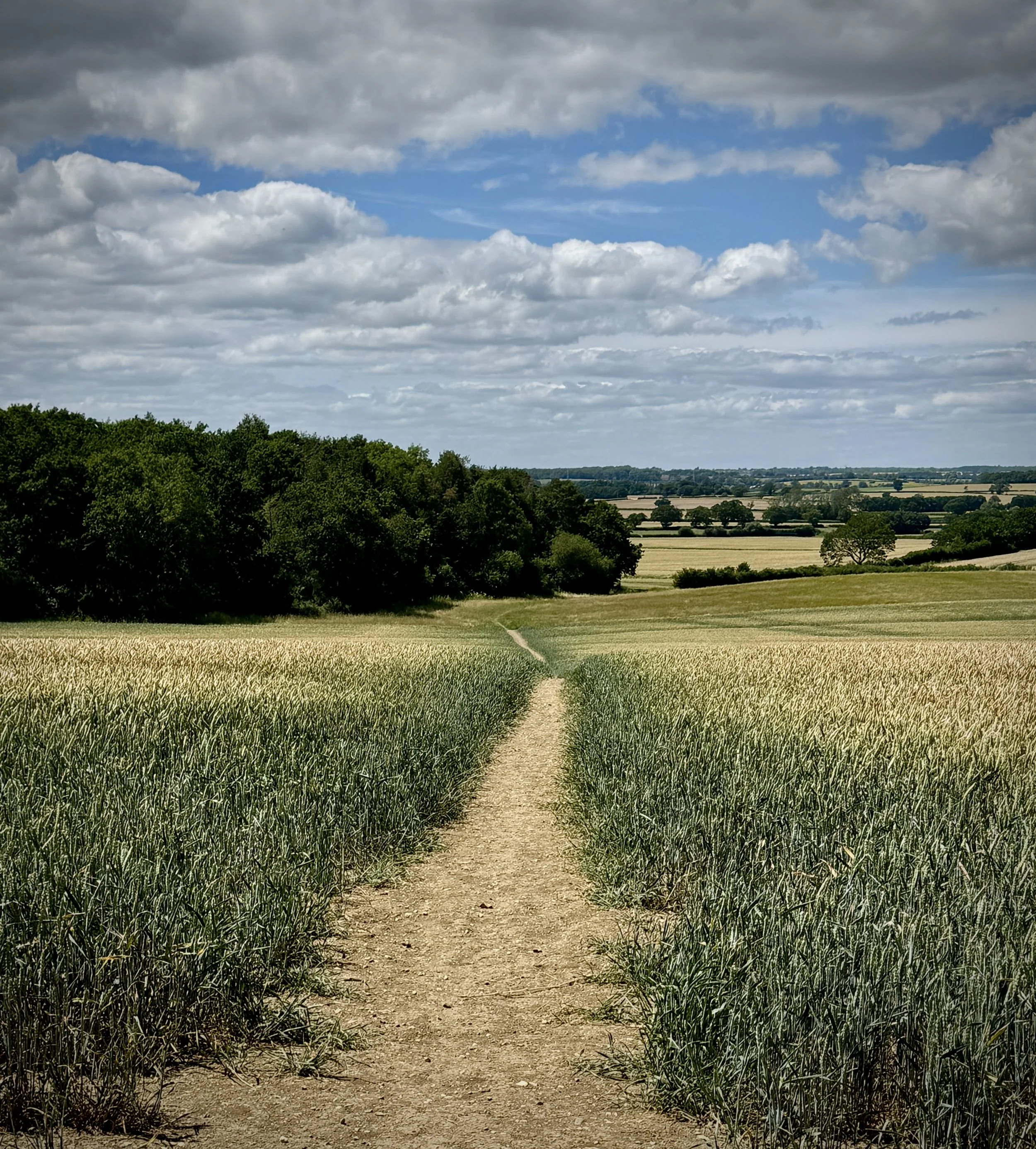
Walking west from Oakhill with Oakhill Wood on the left
Start & Finish: St Mary's Church, Church Hill, Whaddon, Milton Keynes, MK17 0LZ
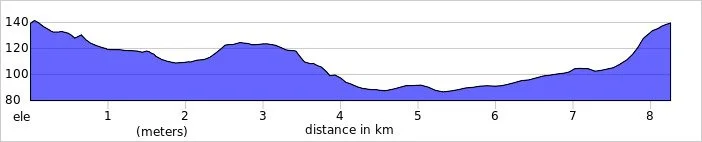
Distance: 8.3 km (5.2 miles)
Elevation change: +/- 74m
Terrain:
Midshires Way section covered: Whaddon to Oakhill: 3.2 km
GPX File: get via Buy Me a Coffee
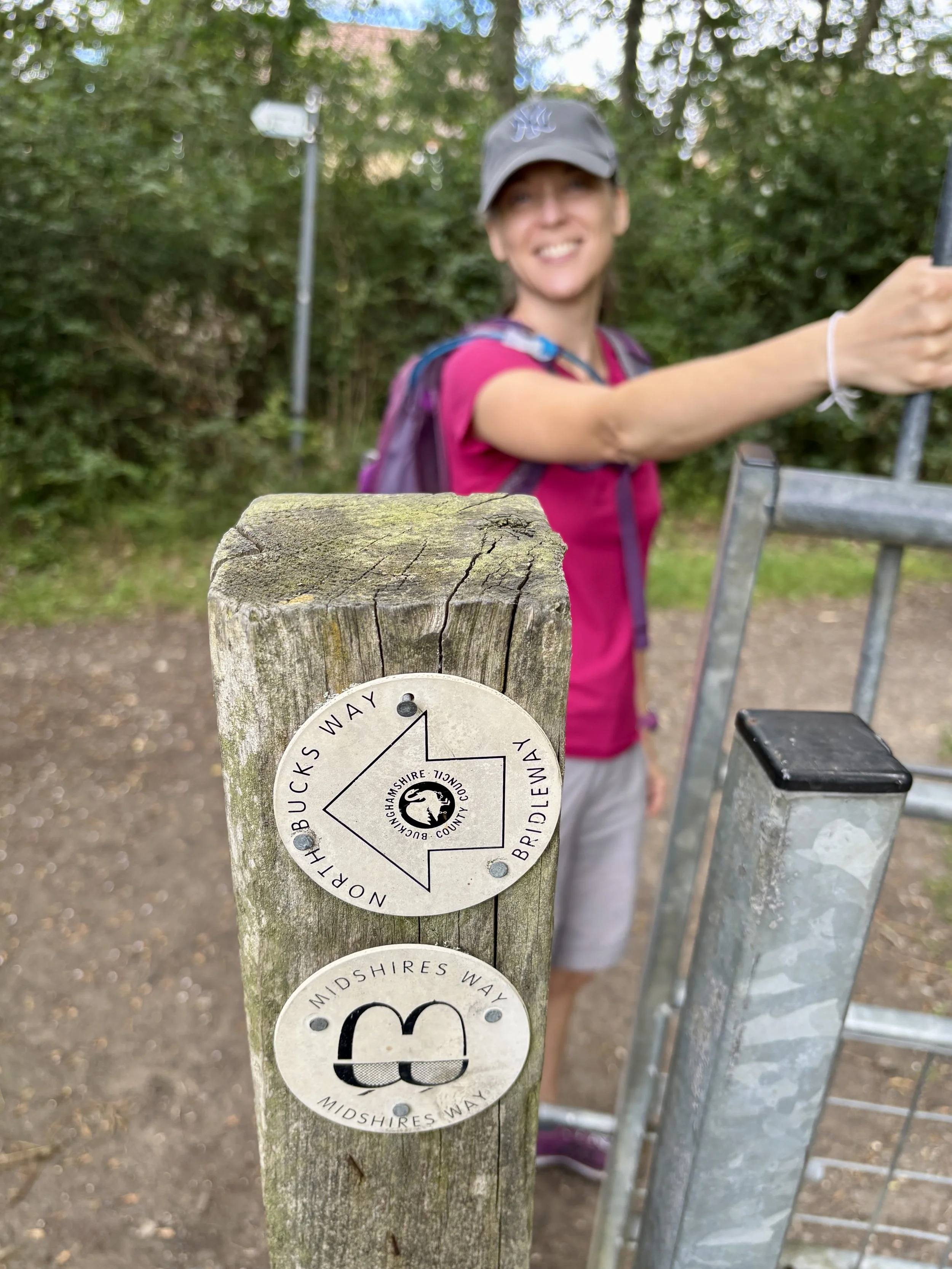
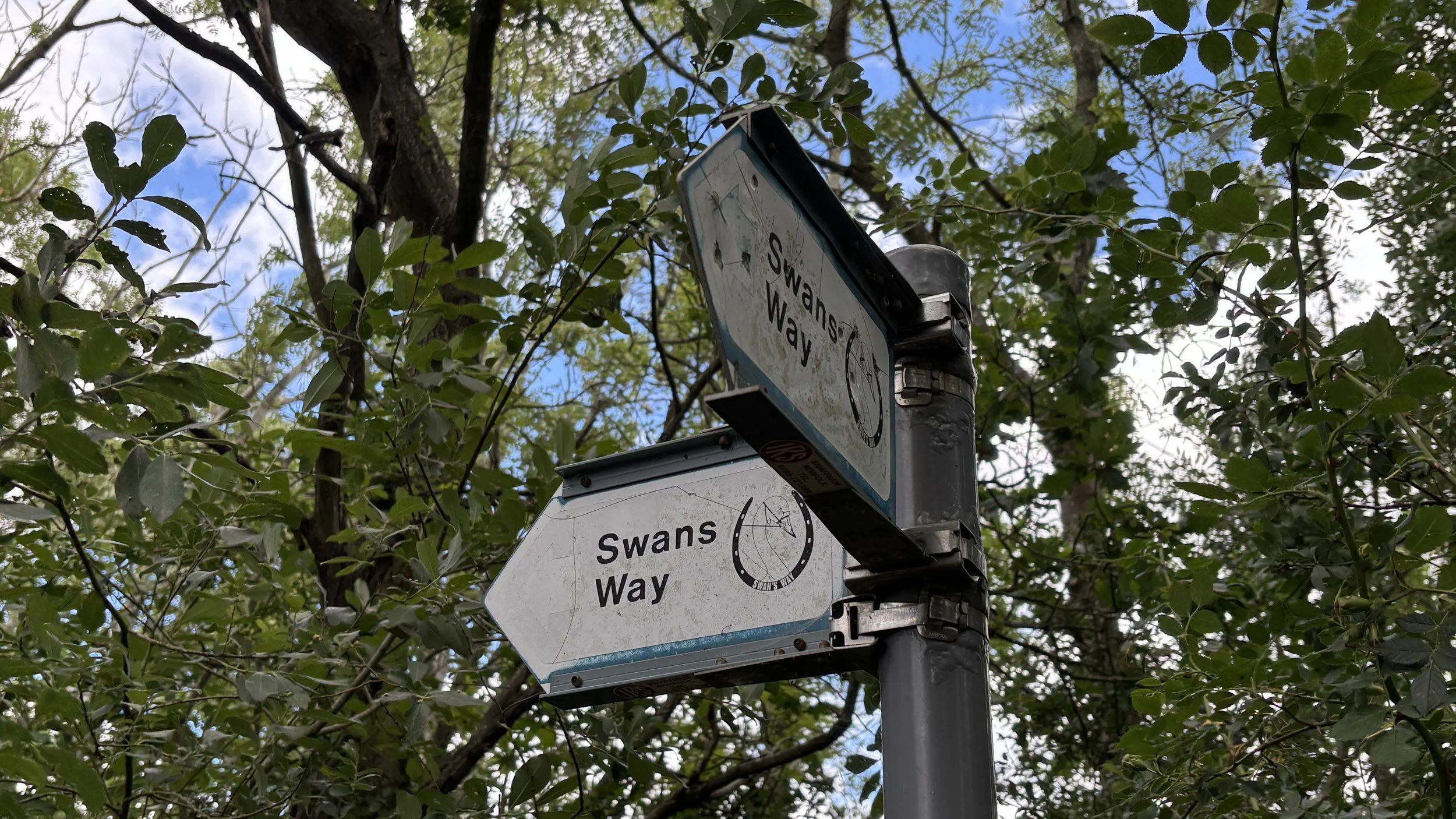
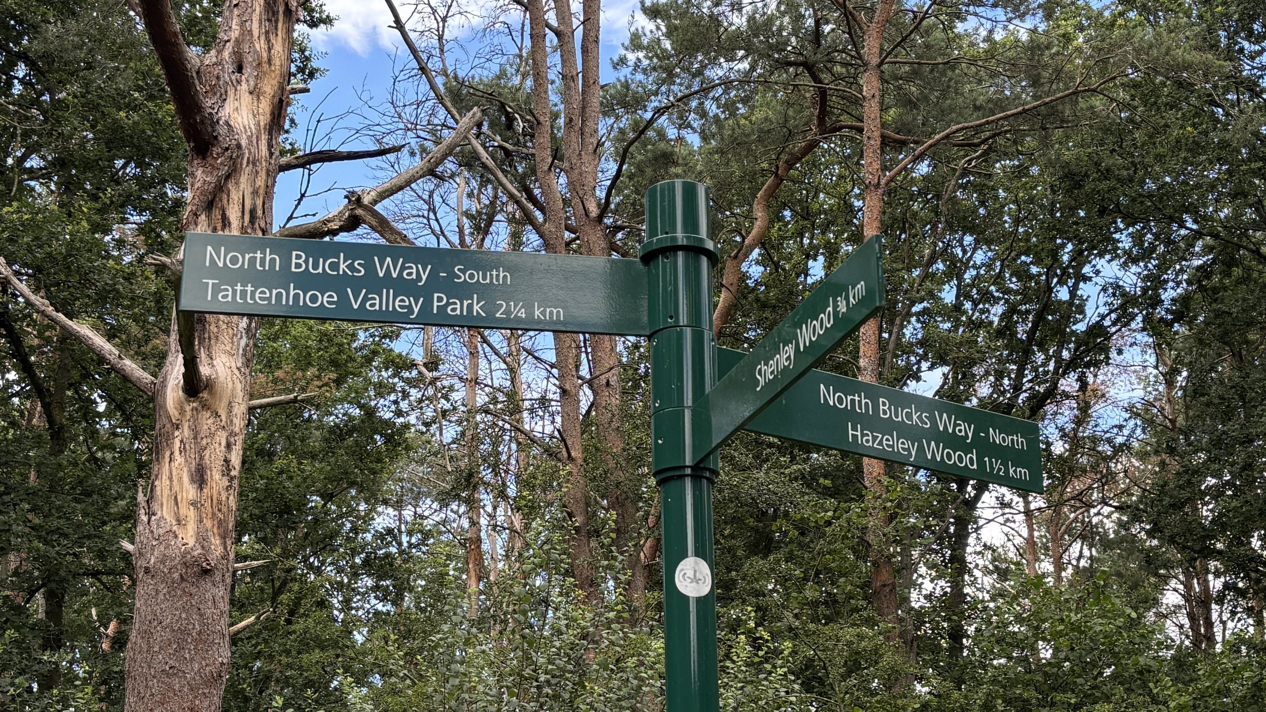
Other routes touched (walk): Midshires Way, The Swan Way, North Bucks Way, Milton Keynes Boundary Walk
Other routes touched (cycle): None
Pubs / Cafes on route: The Lowndes Arms, Whaddon (just off route at the start and finish)
Map: Buckingham & Milton Keynes Map | Leighton Buzzard & Woburn | Ordnance Survey | OS Explorer Map 192
Links: Whaddon, Milton Keynes,
This is part of a series of short circular walks following the length of the Midshires Way in Buckinghamshire. The Midshires Way is a 225-mile (362 km) trail that journeys through the rural heart of Middle England, linking the Ridgeway National Trail at Bledlow in the south to the Trans Pennine Trail at Stockport in the north. Opened in 1994, this route traverses several counties, including Buckinghamshire, Northamptonshire, Leicestershire, Nottinghamshire, Derbyshire, and Greater Manchester, following a scenic tapestry of ancient bridleways, quiet country lanes, and historic canals. In Buckinghamshire, the Midshires Way has a significant connection with the Swan's Way (often referred to as the Swan Way), a 65-mile long-distance bridleway. Essentially, the Swan's Way forms the backbone of the Buckinghamshire section of the Midshires Way, with the two routes being broadly coincident for approximately 50 miles between Salcey Forest and Bledlow. While the Swan's Way strictly adheres to bridleways to accommodate horse riders and cyclists, the Midshires Way sometimes offers alternative waymarked footpaths for walkers to avoid on-road sections.
Walking Directions
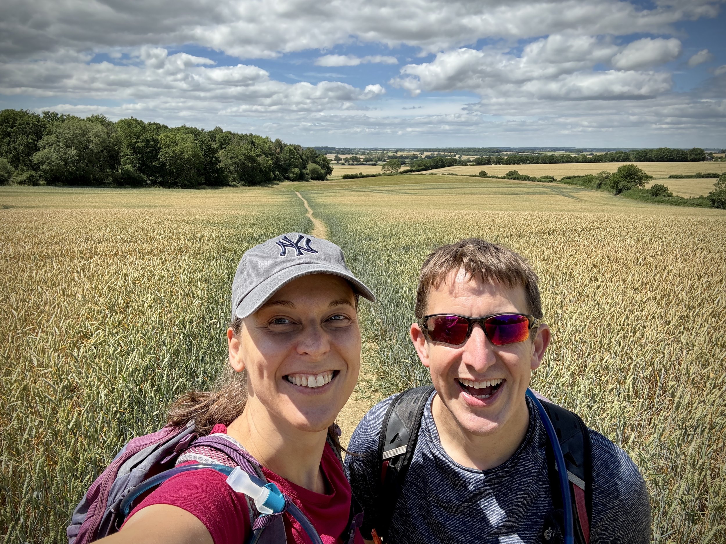
This delightful circular route through the Buckinghamshire countryside offers a fantastic blend of historic village charm and open agricultural landscapes. Starting in the picturesque village of Whaddon, the trail guides you eastwards along the quiet country lane towards the edge of Milton Keynes. It is a wonderfully peaceful stretch that feels miles away from the hustle of the city, making it an excellent weekend escape or a perfect leg-stretcher for those resting before their Saturday morning parkrun.
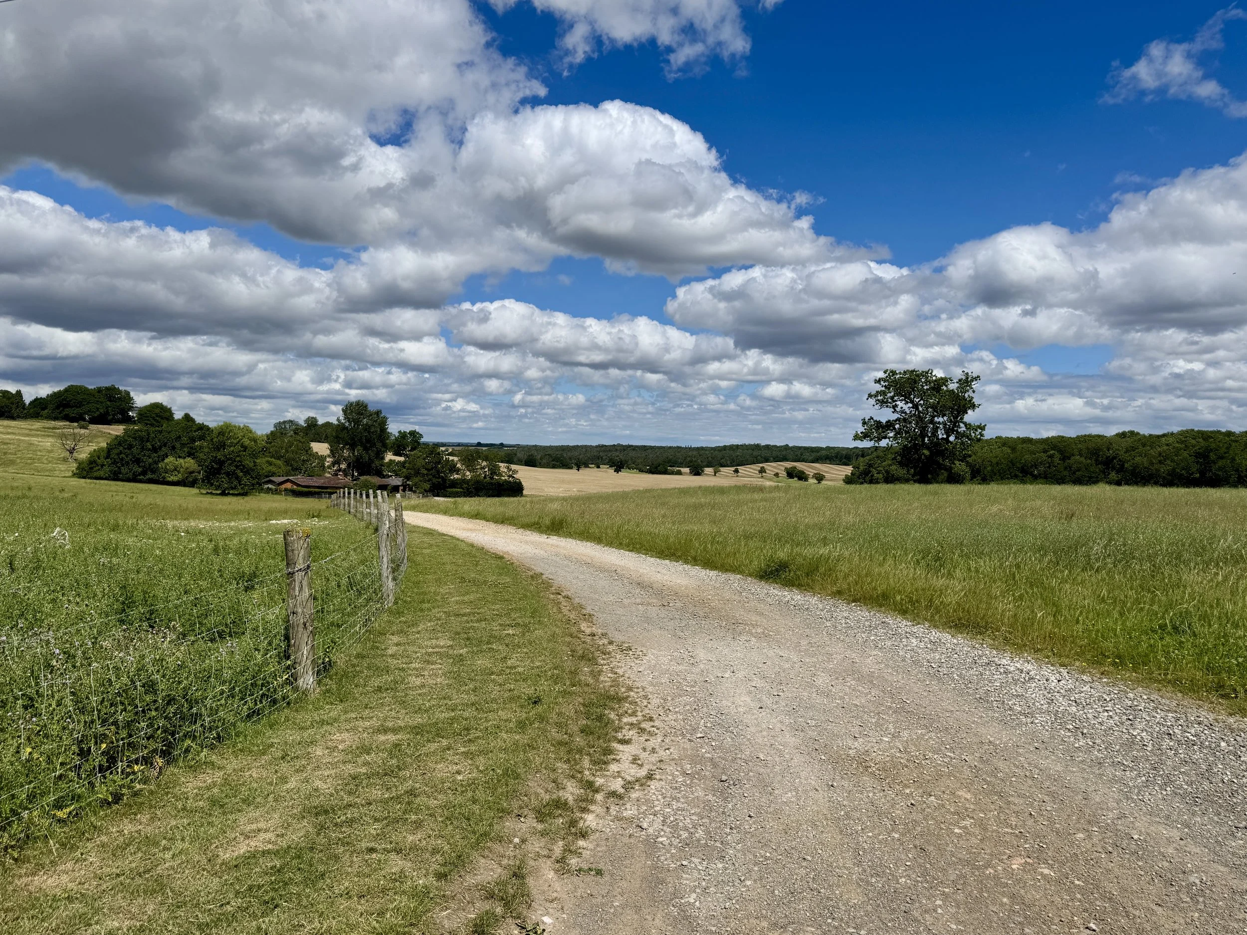
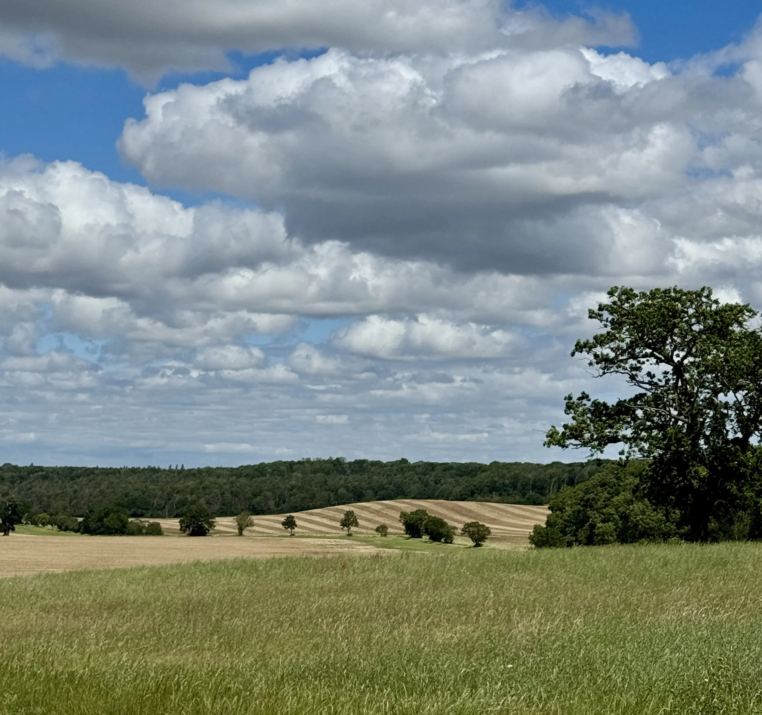
As you reach the western urban boundary, the route turns north, tracing the edge of the city before skirting the ancient boundaries of Oakhill Wood and Briary Plantation. The return leg takes you west through wide open fields and south through the remnants of Whaddon Chase, offering long, elevated views across the Great Ouse Valley before delivering you safely back into the heart of Whaddon.
The guidance below will help you navigate but don’t use it as a fully accurate turn-by-turn guide. Always take a map and/or a GPX route and prepare well for the weather and terrain.
Begin the walk outside the Lowndes Arms pub on Stock Lane in Whaddon village centre, where free on-street parking is available.
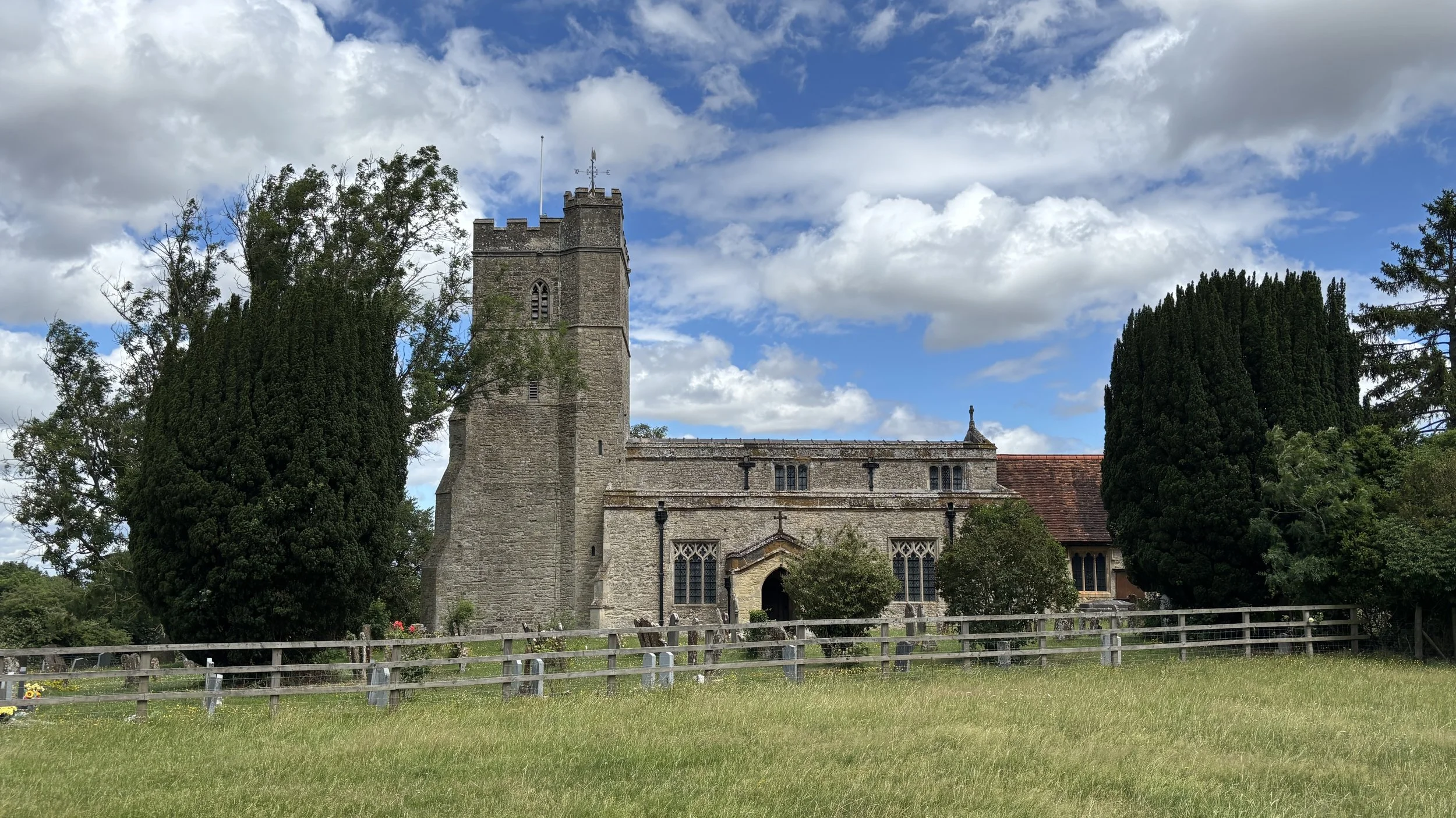
Walk south through St Mary's churchyard, passing the 12th-century church, to exit back onto Stock Lane right opposite your starting point at the Lowndes Arms. As you reach the top of the hill, pass the historic remnants of the Second World War telecommunications site on the grass line.
Head east along Stock Lane for approximately 300 metres.
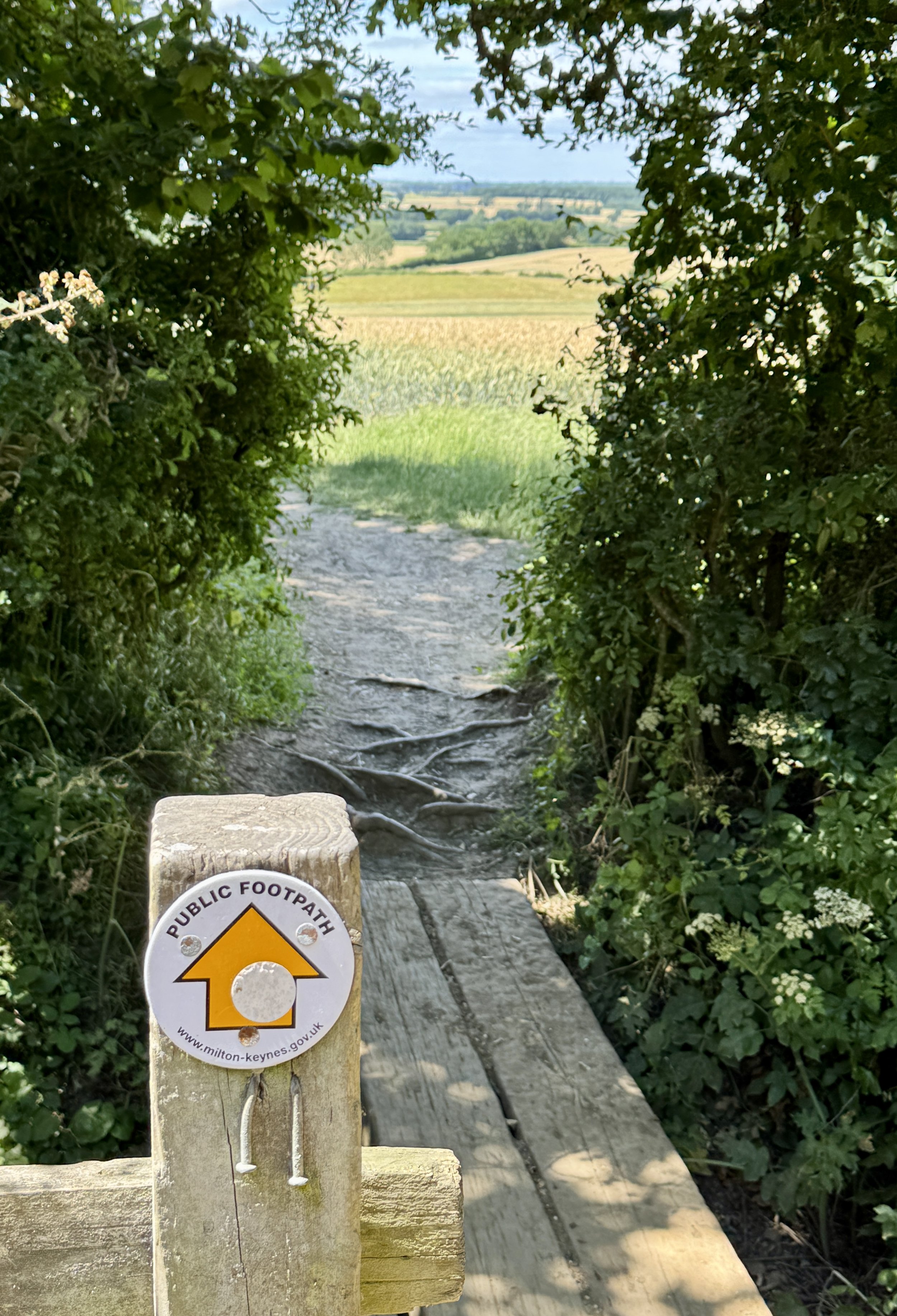
Turn left onto the public footpath heading down Kennel Lane towards the open fields.
Follow the Midshires Way path as it turns right and then left to skirt the northern edge of Briary Plantation.
Continue heading in a north-easterly direction across the fields until the path meets the Milton Keynes Boundary Walk just before you reach the urban houses.
Turn left and follow the combined Midshires Way and Milton Keynes Boundary Walk north-north-west for just under two kilometres, passing Oakley Park and Oakhill Prison on your right, and Oakhill Wood on your left.
Turn left (west) to stay on the Milton Keynes Boundary Walk, walking across the open fields.
Cross over Stratford Road and continue along the farm path heading west.
When you reach the track near the converted farm buildings, turn left to head southwards.
Follow this path until it connects with Nash Road.
Turn left onto Nash Road and follow it as it transitions into Church Hill Road towards the centre of Whaddon.
Points of Interest along or near to the Route
St Mary's Church, Whaddon. Dominating the skyline as you approach Whaddon, the Church of St Mary is a striking Grade I listed building with origins rooted in the 12th century. The church features a prominent 14th-century tower and contains historic monuments, including a memorial to Arthur Grey, 14th Baron Grey de Wilton, making it a culturally significant and highly visible landmark on your walk. Inside, visitors can spot a rare Norman pillar carving showing two peacocks quarrelling over bread, as well as surviving fragments of medieval stained glass in the east window.
Whaddon Hall and Royal History. The present Whaddon Hall was built in 1820 on a site occupied by manor houses since the 11th century. Originally a royal forest and medieval hunting ground, Whaddon Chase was historically reserved for hunting deer by the nobility. Although heavily deforested over the centuries and enclosed for agriculture, the undulating topography and remaining pockets of ancient woodland still offer walkers a tangible glimpse into Buckinghamshire's medieval past.
The Intelligence Zone and World War Two Telecommunications. During World War Two, Whaddon Hall served as the top-secret headquarters for Section VIII (Communications) of MI6 under Brigadier Richard Gambier-Parry. The facility was responsible for constructing radio gear and transmitting Ultra intelligence from Bletchley Park directly to Allied commanders in the field. Walkers can still see the grassy mounds of the buried wartime radio outstations (such as Windy Ridge and the Upper Weald Radio Station) along Church Hill Road, whose history was shared with us by local author Alan Biggins, writer of The Intelligence Zone: Churchill's Secret Sites and What They Gave the World.
Oakhill Wood and Briary Plantation. These ancient woodlands form a beautiful natural buffer between the expanding modern grid of Milton Keynes and the traditional farmland of rural Buckinghamshire. Tracing the edges of these woods provides wonderful opportunities to spot local wildlife: look out for deer, red kites, and woodpeckers nestled in the oak and ash canopy.
Snelshall Priory Earthworks. Slightly west of the route lies the site of Snelshall Priory, a Benedictine house dedicated to St Leonard and founded circa 1147. Though the buildings have long since vanished, the historic earthworks, moated site, and medieval fishponds still remain preserved in the quiet landscape.


Midshires Way previous section (south): Great Horwood and Whaddon
Midshires Way next section (north): Oakhill and Loughton