Walking The Midshires Way Part 16: Stoke Goldington and Tathall End
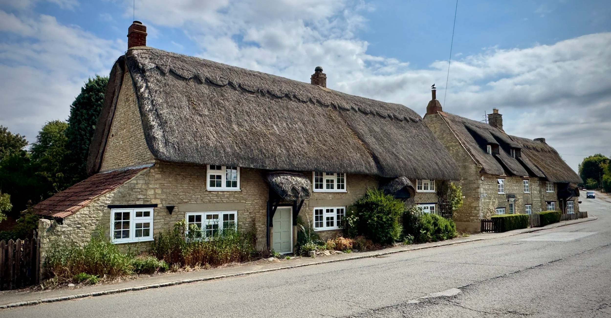
Thatched cottages on Stoke Goldington High Street
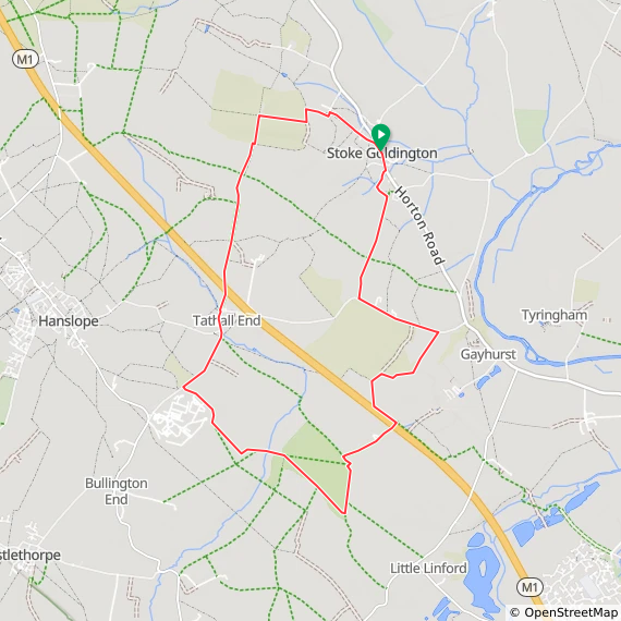
Start & Finish: High Street, Stoke Goldington, Newport Pagnell MK16 8NR
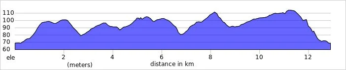
Distance: 12.9 km (8.0 miles)
Elevation change: +/- 125m
Terrain: A mixture of village pavements, country lanes, field paths, and rural tracks.
Midshires Way section covered: Little Linford Wood to (near) Stokepark Wood: 4.5 km
GPX File: get via Buy Me a Coffee
Other routes touched (walk): Midshires Way, The Swan Way, Hanslope Circular Ride, Three Shires Way
Other routes touched (cycle): None
Pubs / Cafes on route: The Lamb, Stoke Goldington, although this was shut down when we visited in August 2026
Map: Newport Pagnell & Northampton South Map | Towcester & Olney | Ordnance Survey | OS Explorer Map 207
Links: Milton Keynes, Stoke Goldington, Tathall End
Welcome to Part 16 of our series of short circular walks along the Buckinghamshire section of the Midshires Way. For a complete overview of the 225-mile trail's history, its connection to the Swan's Way, and preparation tips, please read my complete Midshires Way Through Buckinghamshire Guide.
Walking Directions
This is a delightful loop exploring the Buckinghamshire countryside between Stoke Goldington and the hamlet of Tathall End. This walk offers a quiet escape through open fields and rural tracks, providing a fantastic opportunity to appreciate the local wildlife and historic village architecture. It is a brilliant way to spend a few hours stretching your legs in the fresh air.
The guidance below will help you navigate but don’t use it as a fully accurate turn-by-turn guide. Always take a map and/or a GPX route and prepare well for the weather and terrain.
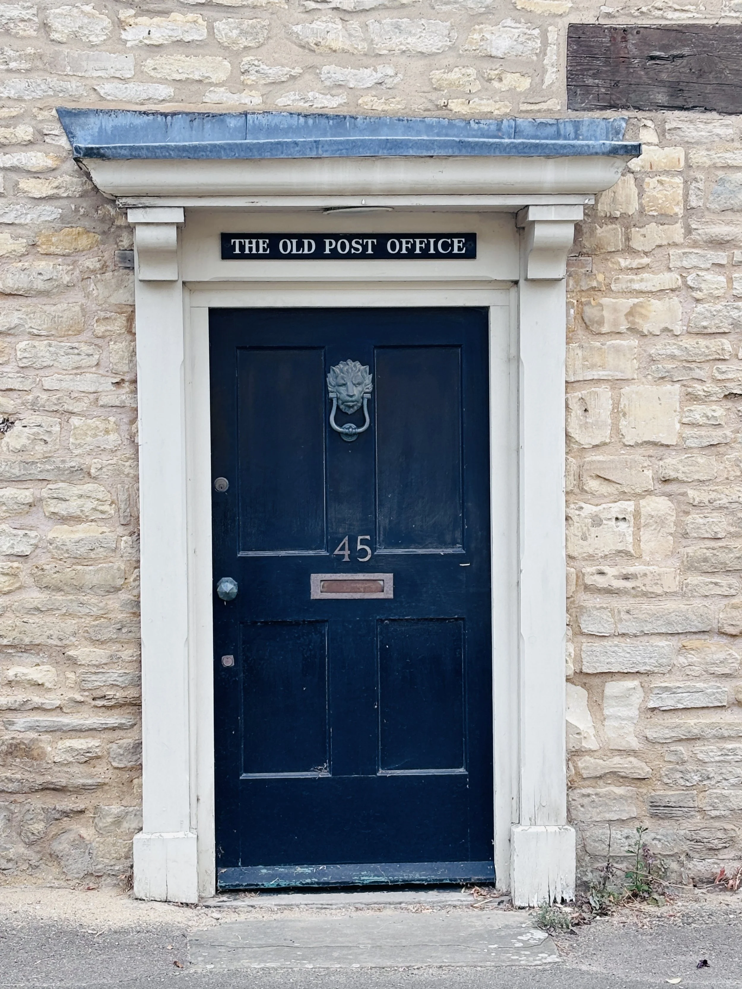
You can find free on-street parking on Stoke Goldington High Street, quite close to the former Lamb pub and opposite the old post office, which is now a private house. The Lamb was shut down when we visited in August 2026, so it is worth checking if it has reopened before you leave if you plan to eat or drink there, as there are no other pubs or cafes on the route.
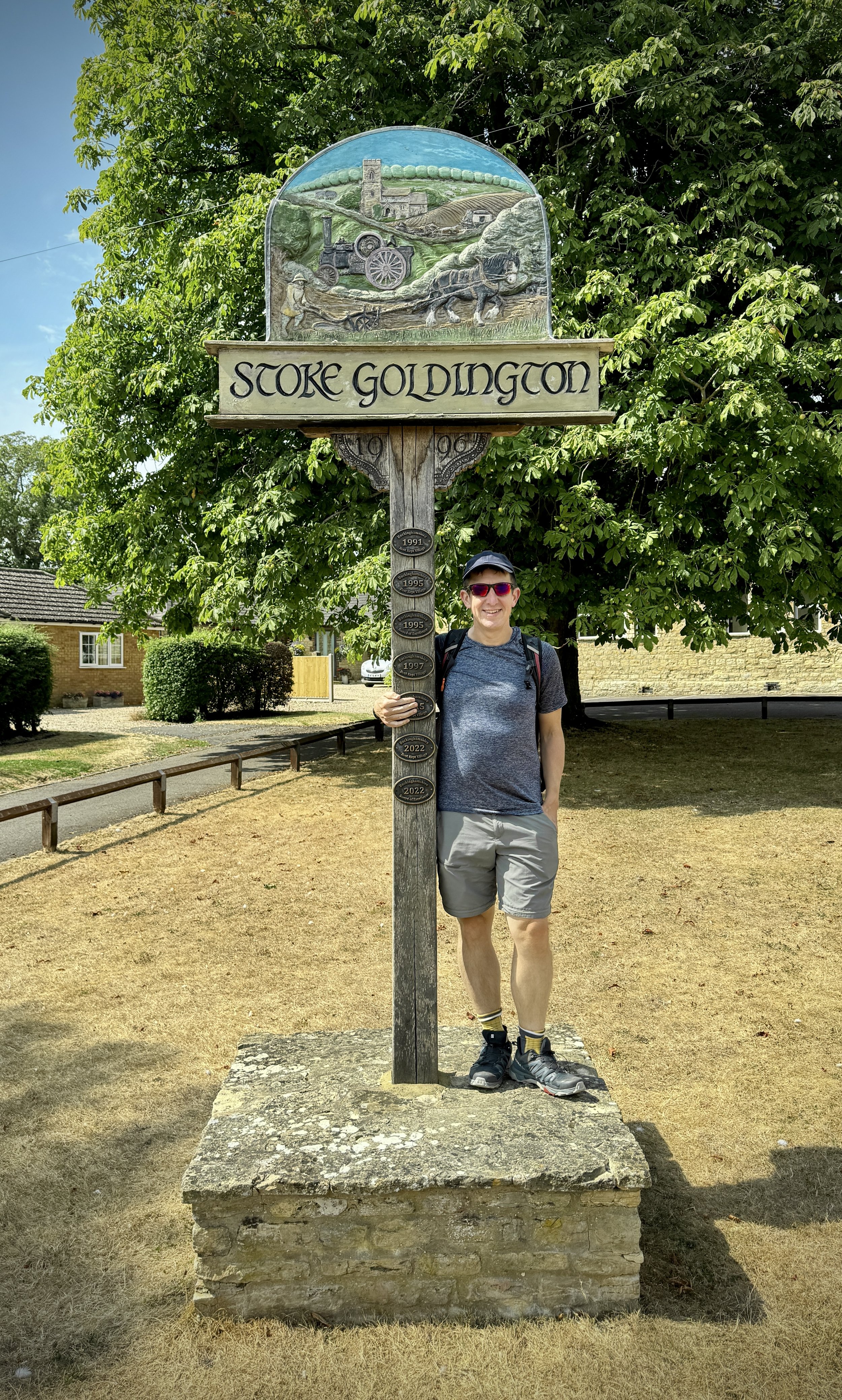
Walk south down the high street to the war memorial and the lovely Stoke Goldington village sign.
Just after the war memorial, take a footpath on the right and follow Ram Alley in a south-westerly direction into a farm.
At the farm, take a left at the T-junction, follow it for a little bit, and then take a right at the next T-junction to walk along a path beside a hedgerow.
Keep going south-west until you reach a lane, then turn left and follow it in a south-easterly direction.
You will have Buntsy wood on your right and open farms and farmland on your left.
Keep following the lane past the edge of the wood, and when it curves to the left, take the footpath on the right into the fields.
Walk until you reach the edge of New Plantation, which is part of Gayhurst wood.
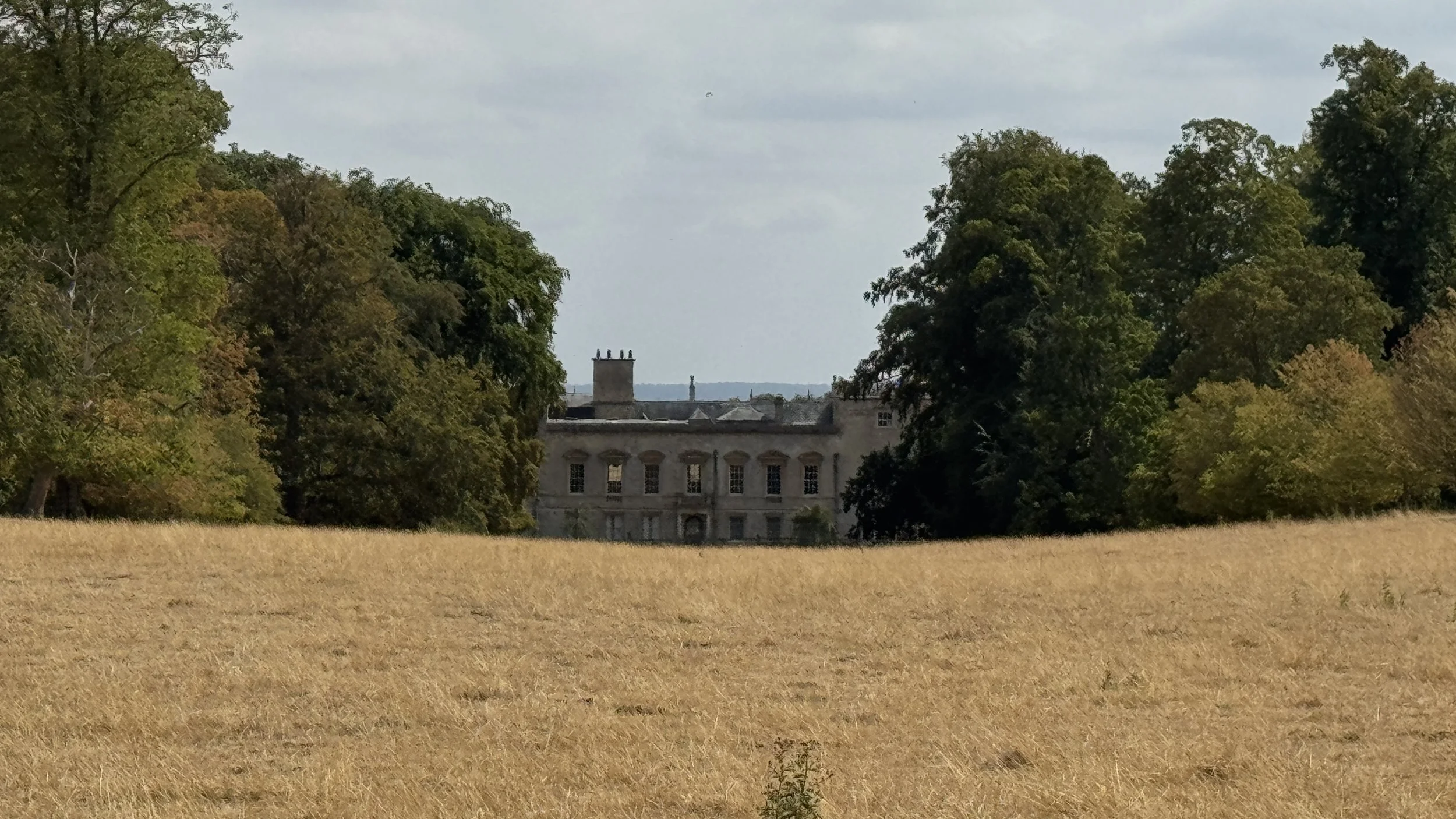
Look out for a clump of trees on a raised artificial hill on your left: if you walk up into the trees, you get a great line of sight through to Gayhurst Court. This is a historic manor house, but instead of being a training centre, the house and service buildings were actually converted into houses and flats in the 1970s.
Follow the edge of New Plantation as it curves around to the right.
At the path junction, turn left to cross the fields in a southerly direction towards the M1. You cannot miss the motorway: you can clearly see and hear it.
When you reach the edge of the M1, turn left and follow the path parallel to the road in a south-easterly direction.
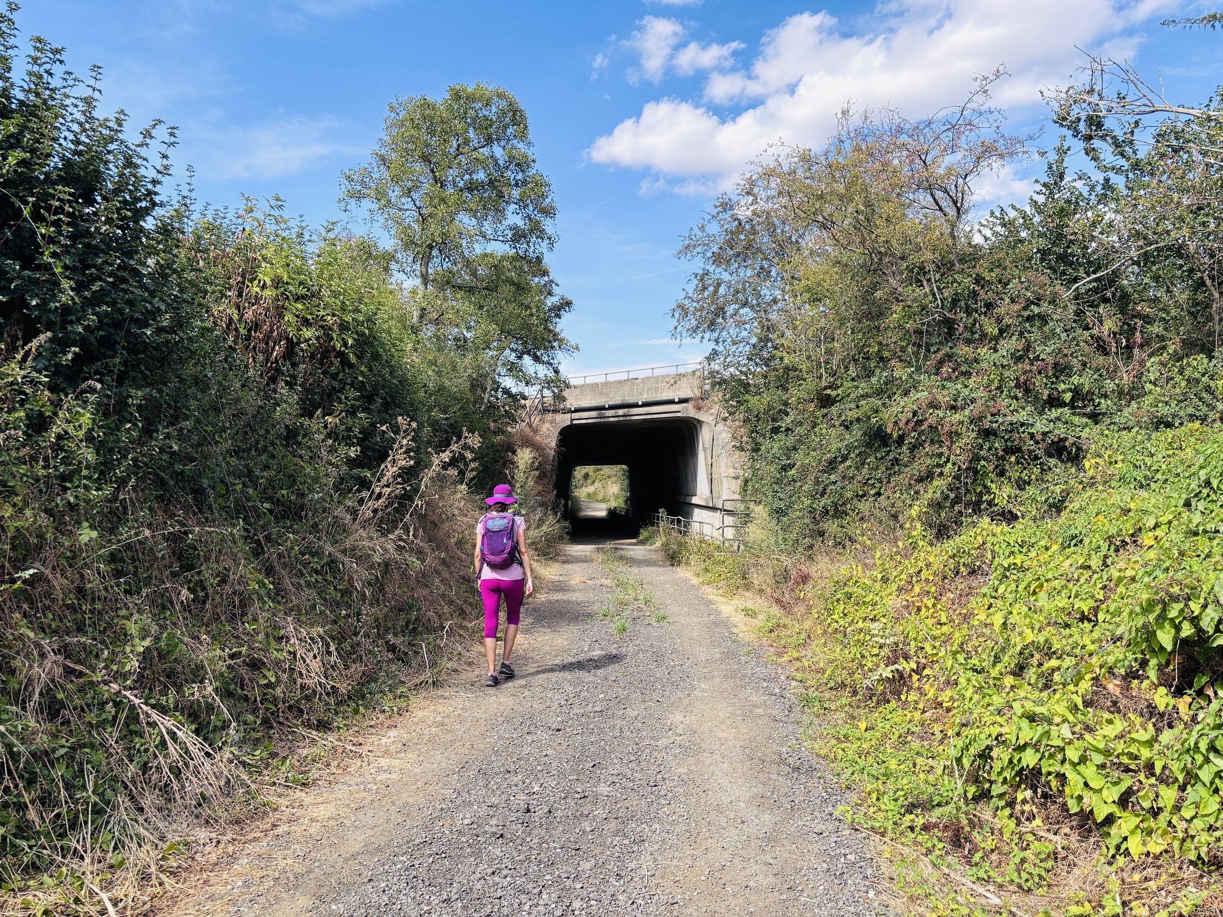
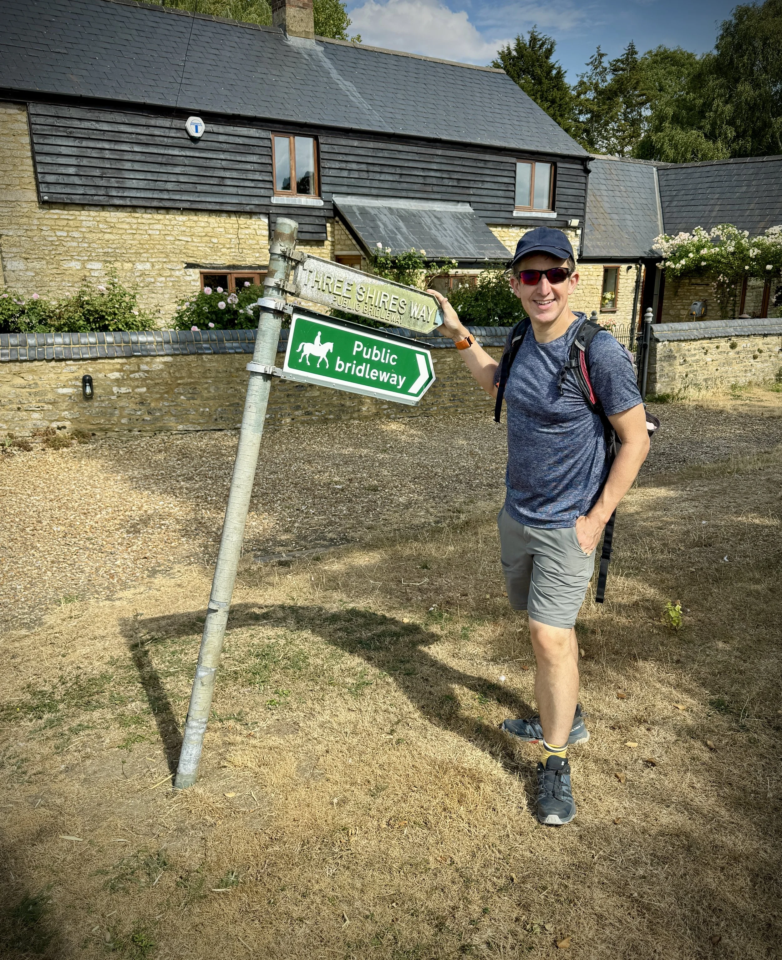
Take the underpass on the right, which is also on the Three Shires Way, to go under the M1.
Continue in a south-westerly direction until you reach the edge of Little Linford wood.
Turn left to follow the boundary of the wood, and at the southern corner, take a right onto the Hanslope Circular Ride.
Follow the ride in a north-westerly direction: about halfway into Little Linford wood, you will pick up where you left off on part 16 of the Midshires Way.
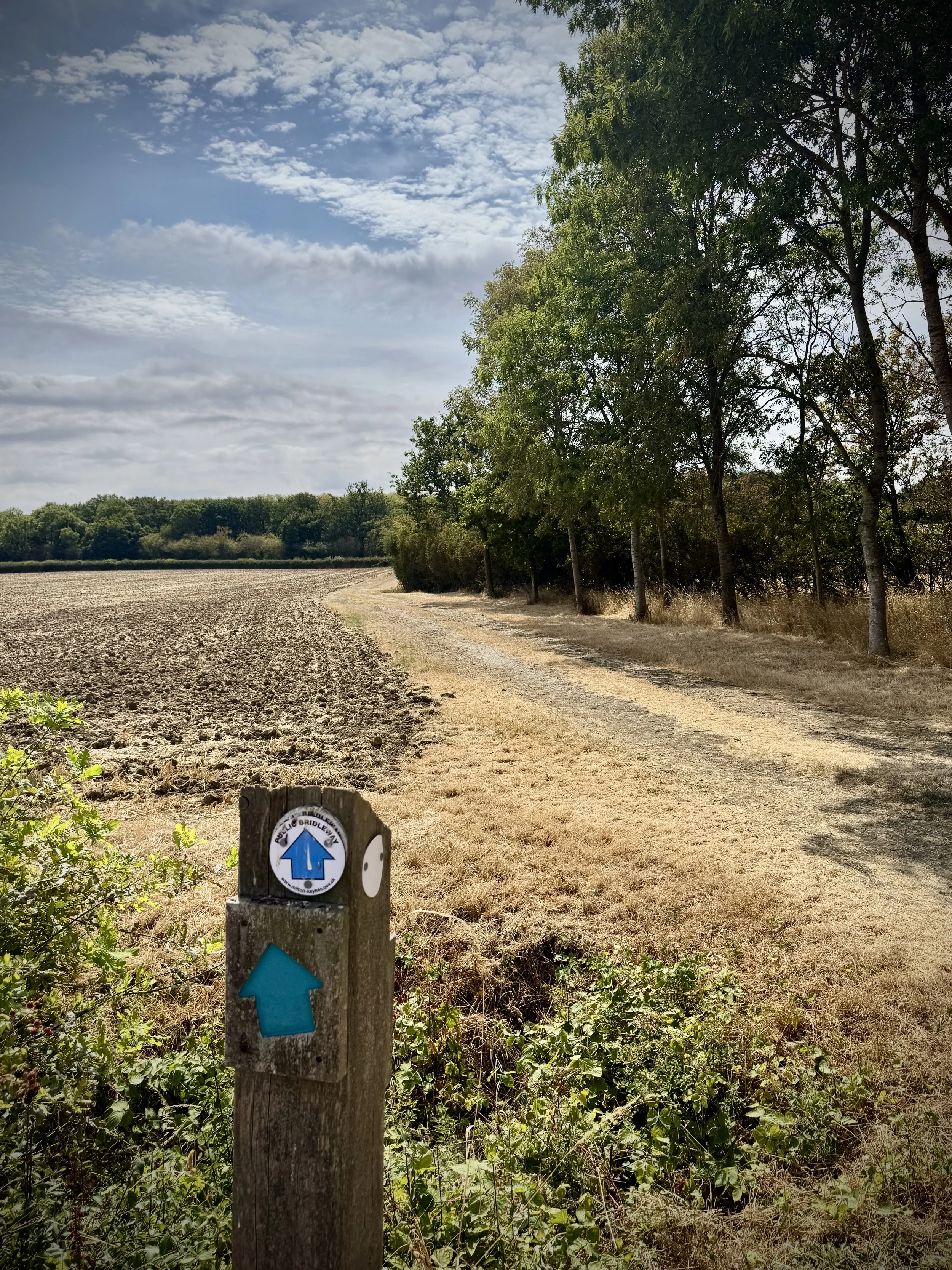
Keep on the Hanslope circular ride to the north-westerly corner of the wood, and follow the Midshires Way as it opens out into farmland.
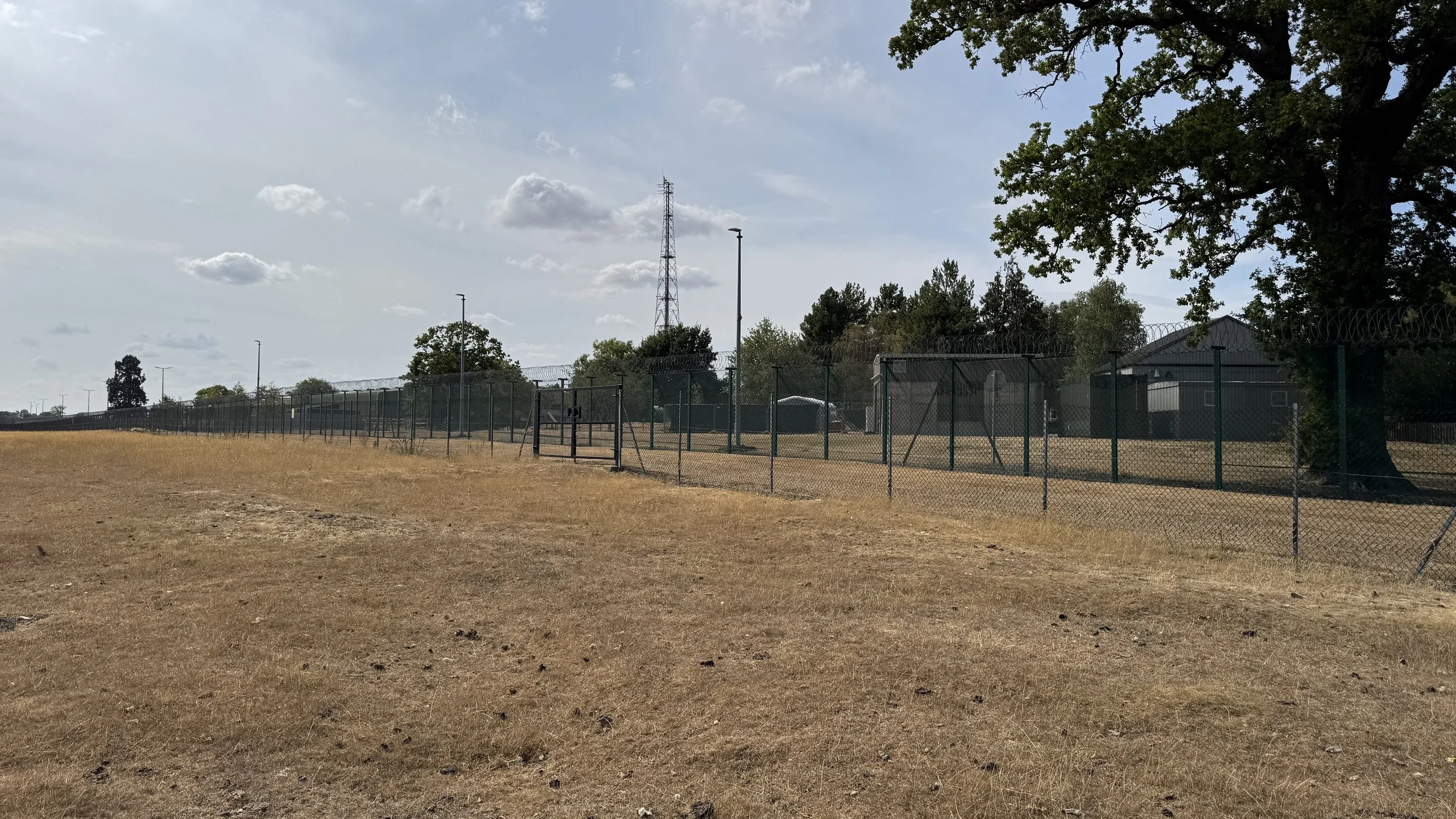
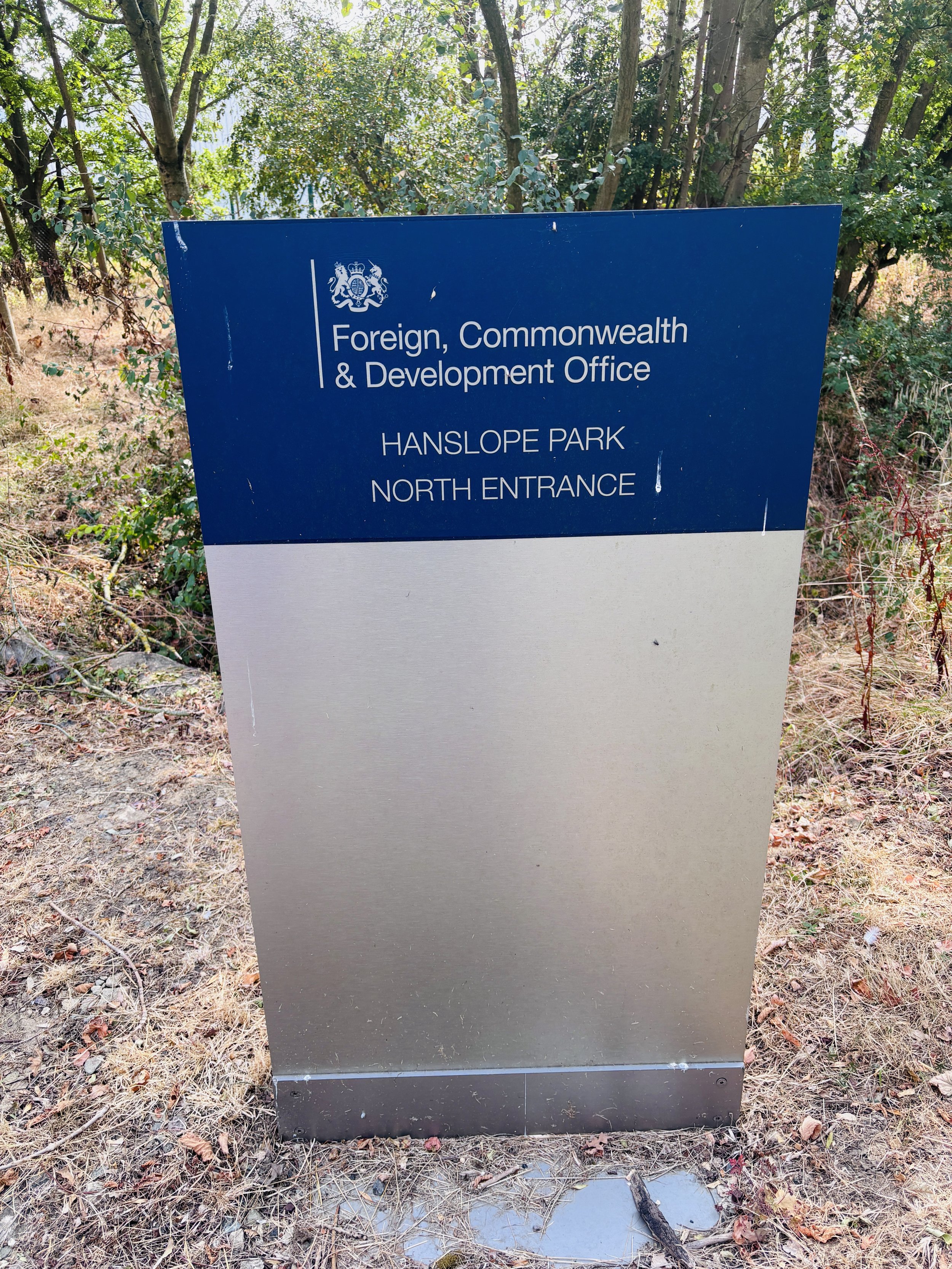
Walk north-west across the farmland until you reach the boundary of Hanslope Park, which is a government communications research centre that is part of the Foreign, Commonwealth and Development Office.
Follow the Midshires Way as it skirts around the north-eastern side of Hanslope Park.
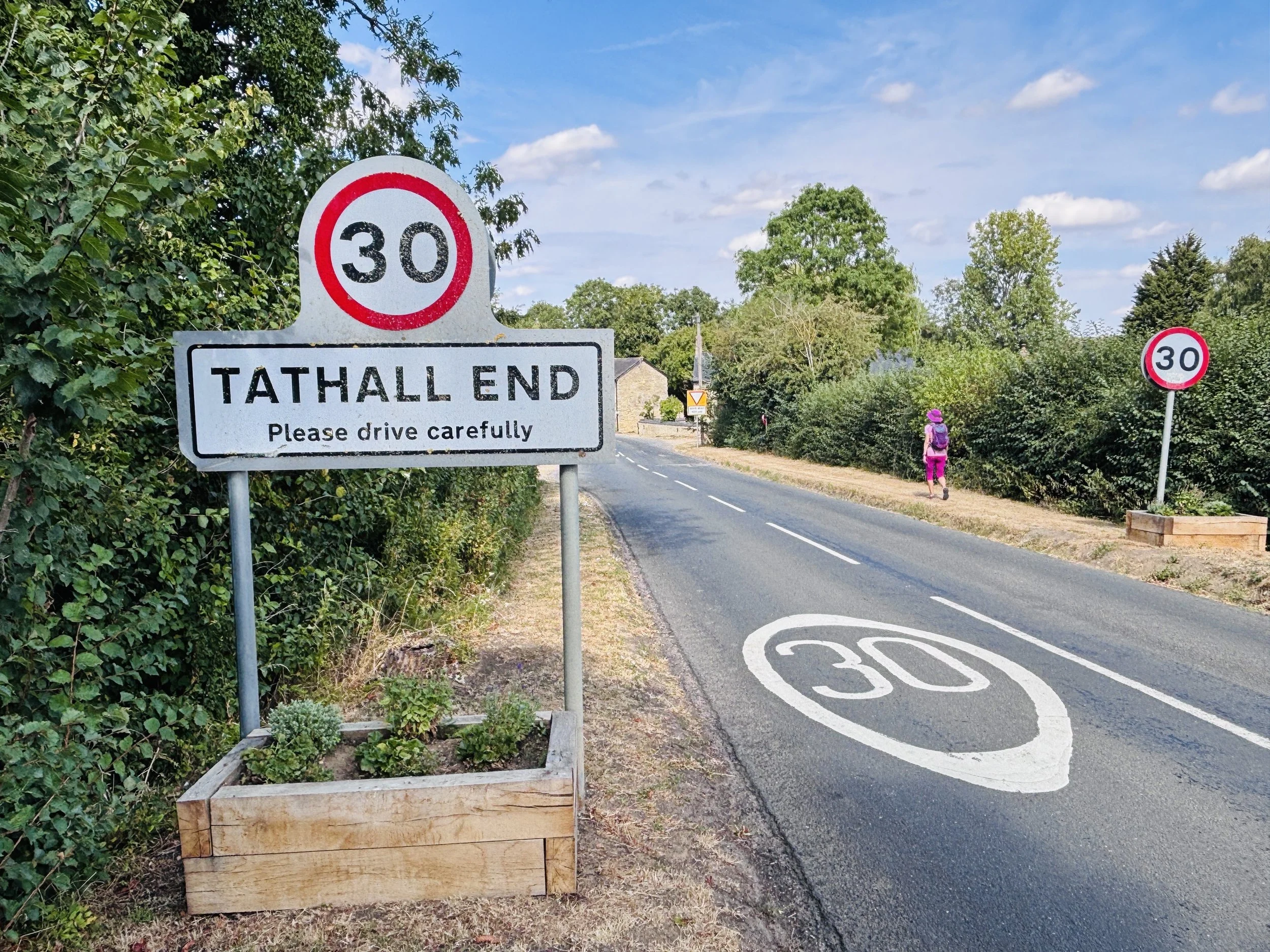
When you reach the road, turn right and head in a north-easterly direction towards Tathall End.
Be careful on this stretch of road: it was fairly quiet when we were there, but there is no footpath, so watch out for traffic.
At Tathall End, the road curves right, but you need to keep walking north on the footpath that continues the Hanslope circular ride and Midshires Way.
Pass under another M1 underpass and head into the flat farmland, continuing to walk north.
The Midshires Way will leave to the left, but keep walking straight north into Stoke Park Wood.
When you reach a cross junction of paths in the centre of Stoke Park Wood, take a right to head east towards the edge of the wood. Here, you get a really nice view over to Stoke Goldington and down Small Valley, and there is a bench right at the edge of the wood if you want to sit for a rest.
To continue the walk, turn left, and then turn right at the edge of the field by a mobile phone mast.
Follow the farm lane in an easterly direction, passing the church on your left-hand side.
Follow the path around to the left and take the bridleway that runs parallel to Dag Lane.
Continue all the way along Dag Lane until you arrive back on the High Street at the start of your walk.
Points of Interest along or near to the Route
Stoke Goldington: Stoke Goldington is a historic village whose roots can be traced back to the Domesday Book of 1086. The village's name derives from the Old English 'stoc', meaning a settlement, and 'Goldington', likely referring to a local landowner. Its picturesque High Street features beautiful thatched cottages and a striking war memorial, making it a quintessential starting point for a rural walk.
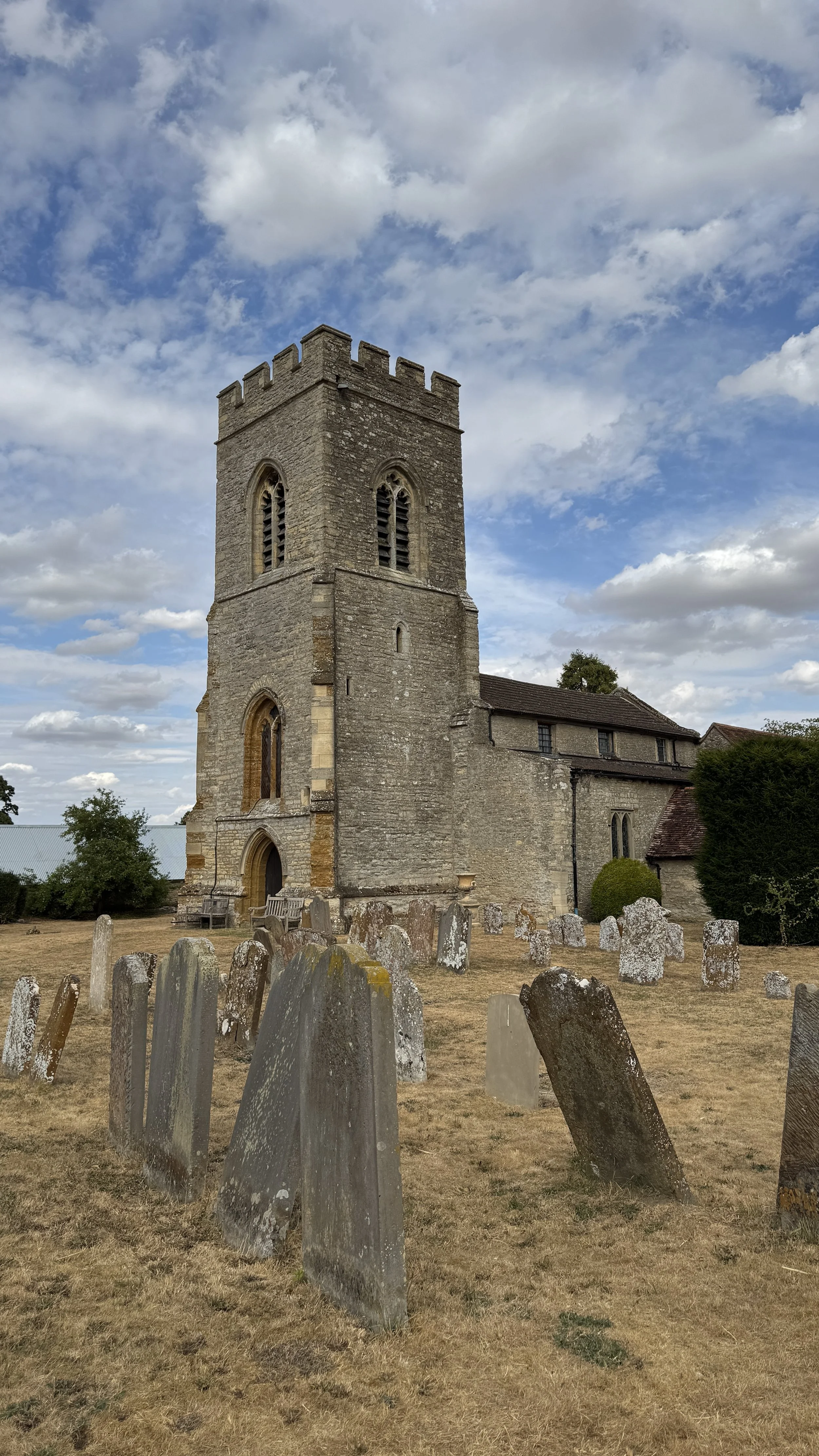
Church of St Peter, Stoke Goldington: This Grade I listed parish church is dedicated to St Peter and anchors the village. The earliest parts of the building date from the 12th century, showcasing deep historical roots.
Little Linford Wood: Part of the ancient woodland network in the region. These sites are crucial for biodiversity, often harbouring protected species and providing a glimpse of the landscape as it appeared centuries ago before intensive agriculture.
Hanslope Park: Hidden behind a perimeter of trees lies Hanslope Park, a highly secure government estate with a fascinating history. Requisitioned during the Second World War, it became the base for the Radio Security Service and His Majesty's Government Communications Centre (HMGCC). It was here in 1944 that computing pioneer Alan Turing developed 'Delilah', a groundbreaking portable speech encryption system. The site remains a vital, secretive hub for the UK's national security and diplomatic communications.
Tathall End: Located on the periphery of Hanslope, Tathall End is a small, tranquil hamlet that retains its traditional English rural character. Historically, such "Ends" were satellite settlements linked to a larger manor, serving as agricultural hubs for the surrounding open-field system. Today, it provides a peaceful, pastoral backdrop as you traverse the Buckinghamshire landscape.



Midshires Way previous section (south): Stantonbury Lake and Little Linford
Midshires Way next section (north): Salcey Forest and the Northamptonshire Border