Short walks in Bled: the lake circuit, Vintgar Gorge, and the Castle climb
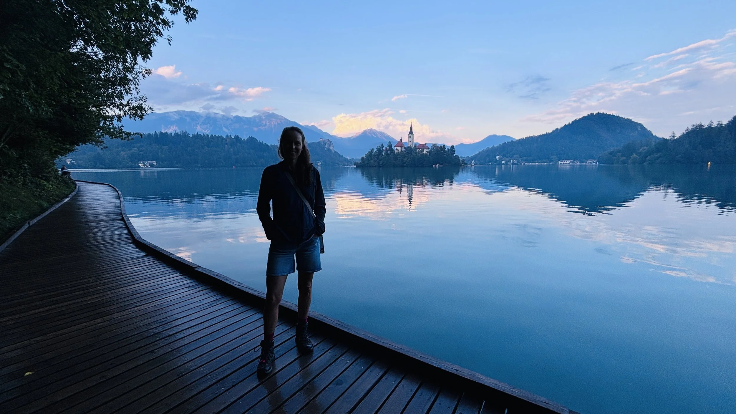
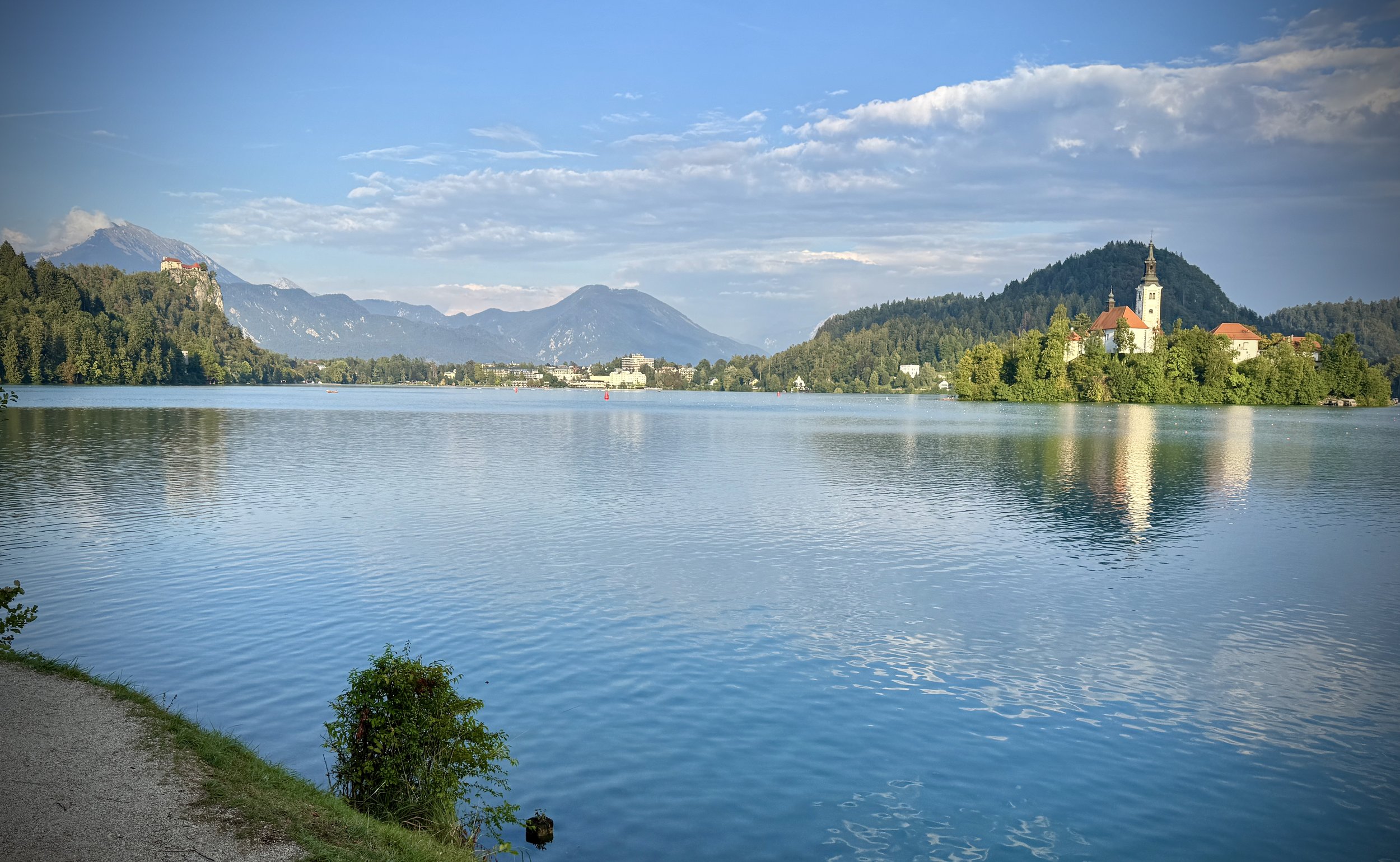
View across Bled Lake at sunset
Bled functions as the obvious logistics hub for the Julian Alps. Most hikers treating it as a gateway to Triglav National Park overlook the immediate perimeter trails, which is a mistake: the topography around the glacial basin gives you roughly 20 km of immediate trail options right from the town centre without touching a highway.
We used a day and a half in Bled to sort our kit and acclimatise before our two-day traverse of Triglav. Getting there from the UK is remarkably painless: Ljubljana Airport sits 35 km southeast of Bled, well north of the capital itself. We collected our hire car and reached the lake in 45 minutes on the A2 motorway. Catching the first view of Triglav from the road provided an immediate reality check: it looks monstrously high from valley level, prompting a brief bout of mild panic from Timea about what we had signed ourselves up for.
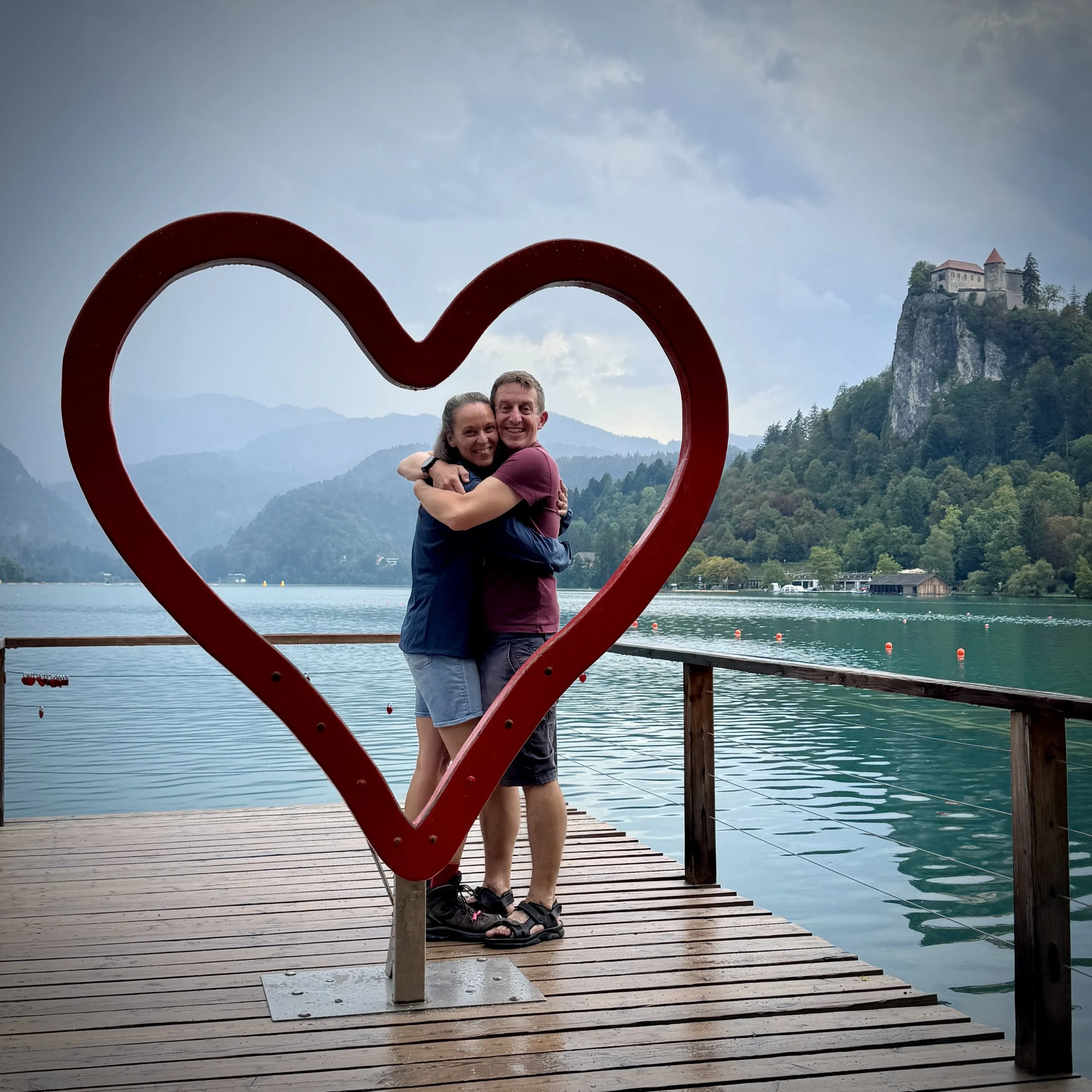
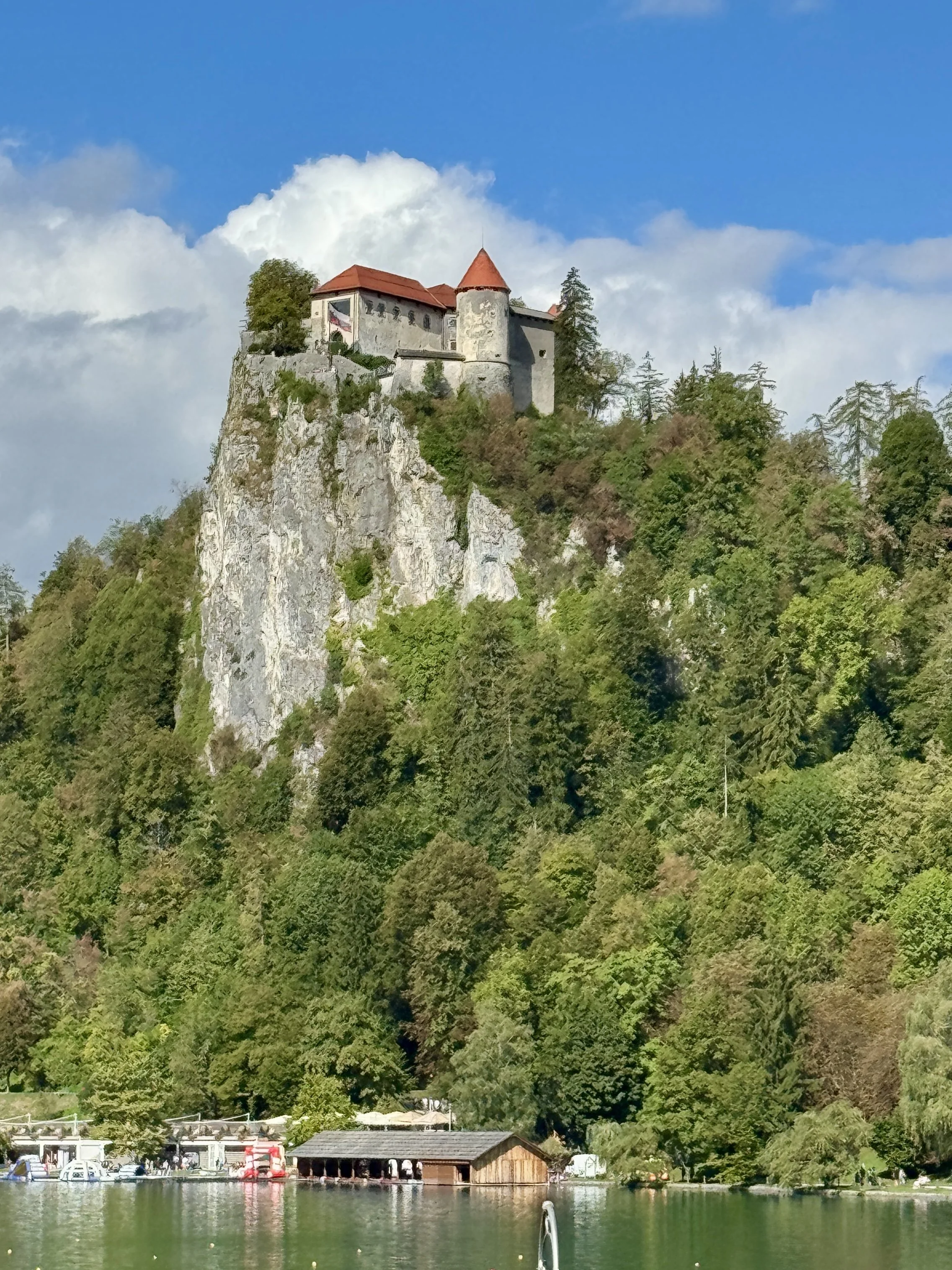
Beyond the trails, Bled Castle sits on a 130-metre limestone precipice dominating the northeastern shore. Below are the logistics and field notes for three short routes we logged around the basin.
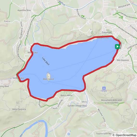
The Bled Lake Circuit
Start & Finish: Kavarna Park, Cesta svobode 10, 4260 Bled, Slovenia
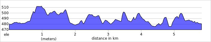
Distance: 5.8 km (3.6 miles)
Elevation change: +/- 86m
GPX File: get via Buy Me a Coffee
Other routes touched (walk): Juliana Trail, Vintgar-Bled, Blejski Razgledni Trail, Gorenjska veja Jakobove poti, Veslaška Promenade,
Pubs / Cafes on route: Many in Bled Town, plus Restavracija Zaka Camping Bled (2.8 km in)
Links: Lake Bled, Bled, Bled Island
A midday downpour scuppered our initial plans on Day 1, so we found a warm lunch in town: local menus are generally decent for Timea’s dairy-free and gluten-free dietary requirements: followed by a short reset nap. By late afternoon the rain cleared, leaving an 8 km perimeter circuit as our evening shakedown.
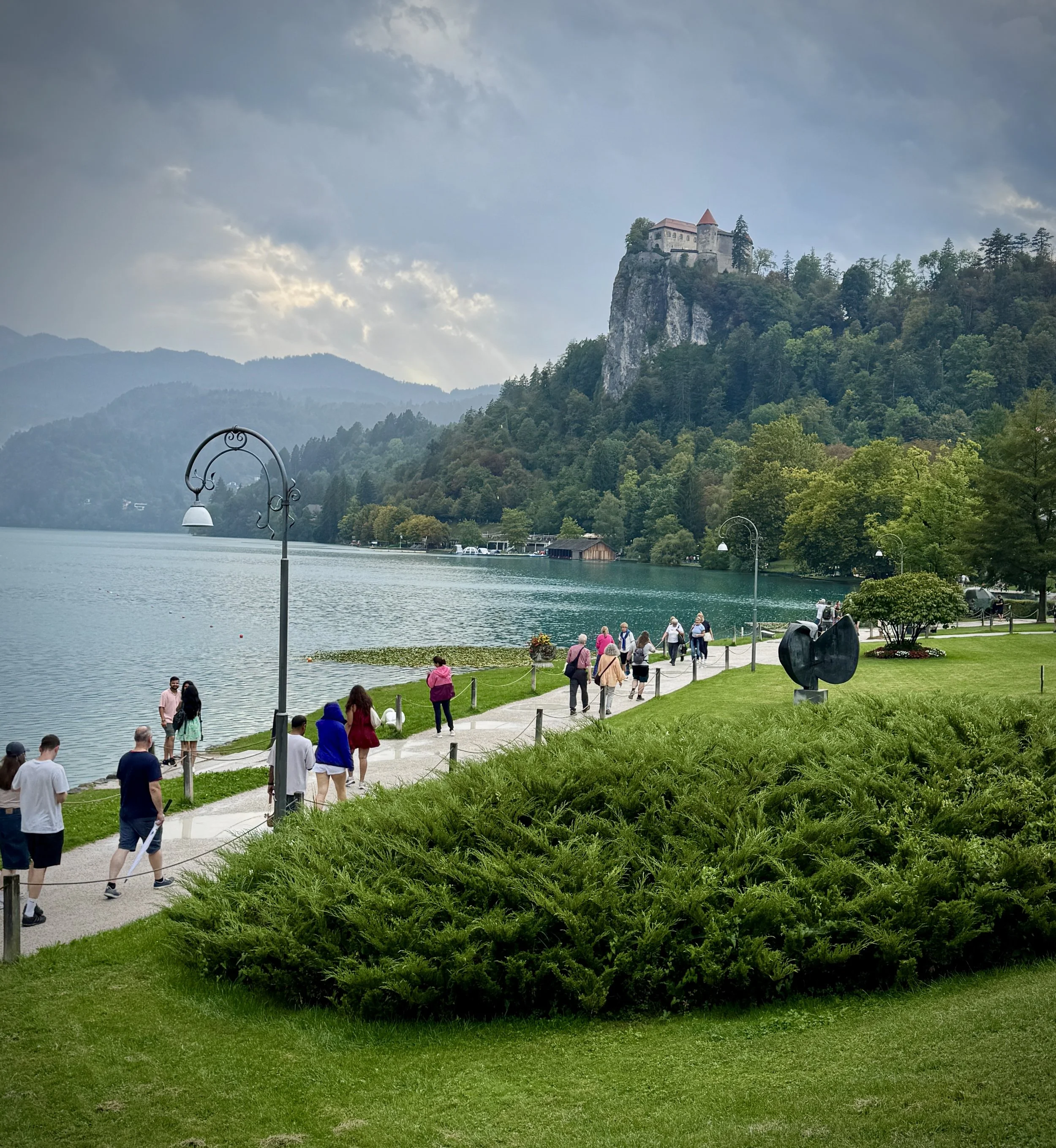
We started at the eastern promenade by the town centre, heading anticlockwise. The first kilometre tracks west beneath the sheer cliff face supporting Bled Castle, passing the Grajsko kopališče lido. Around the 3 km mark on the northwestern shore, you run past the Olympic Rowing Centre at Mala Zaka: an unassuming facility that has produced multiple world champions on this flat water.
Continuing past the 5 km mark brings you to the western bay at Zaka, which houses the lakeside campsite and a small pebble beach. From here, the terrain tilts sharply upwards into the dense forest behind the shoreline, where steep spurs climb towards the Ojstrica and Mala Osojnica viewpoints. The path then hugs the southern bank, passing below the grounds of Villa Bled: Tito's former summer residence: before curving back towards the town hotels.
Doing this loop in the late afternoon pays dividends: as the cloud deck broke, the low sun completely transformed the water. The light shifted every ten minutes, throwing distinct colour bands across the lake that Timea immediately earmarked for future landscape paintings.
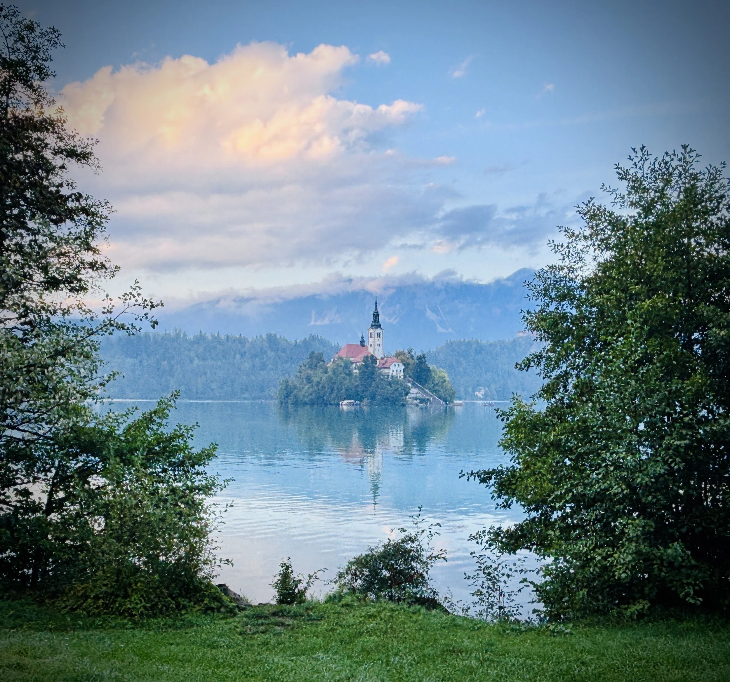
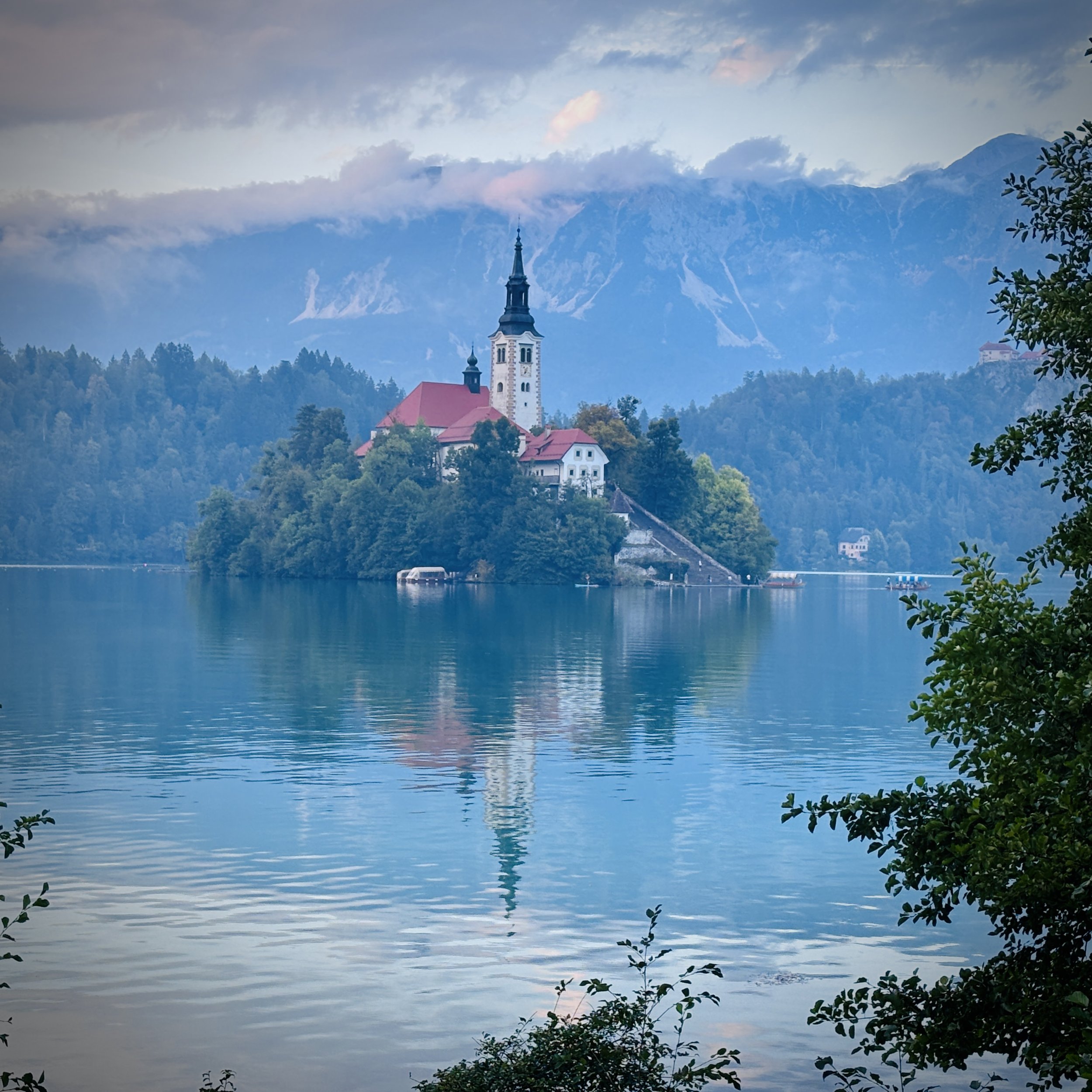
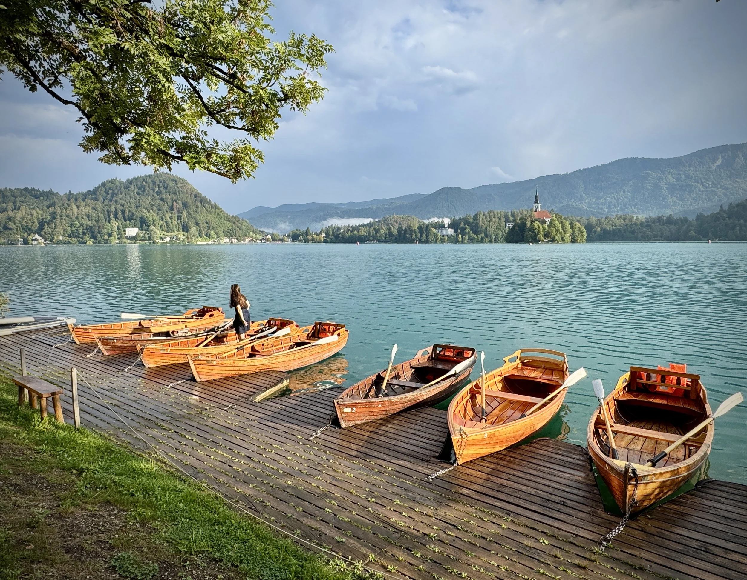
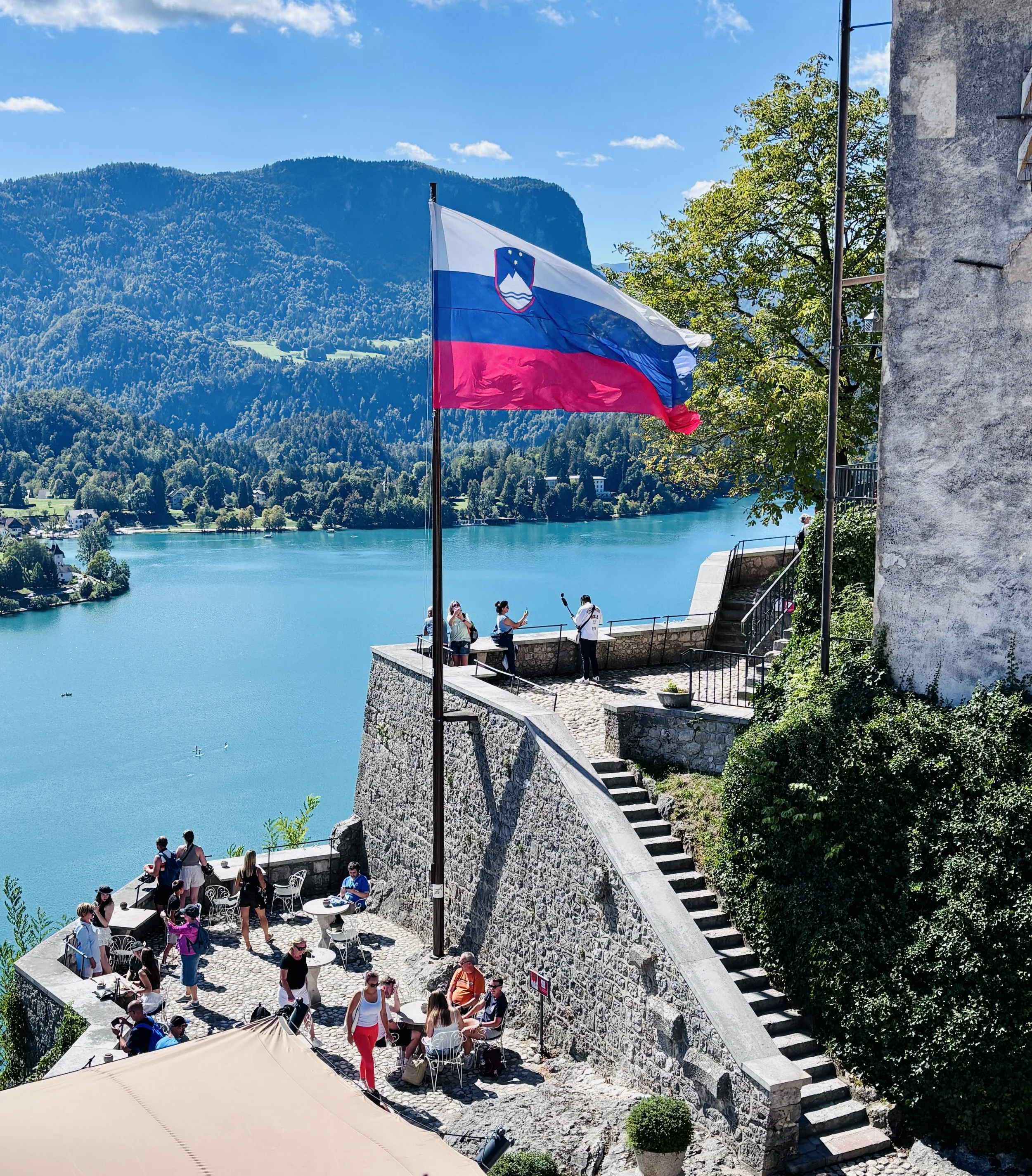
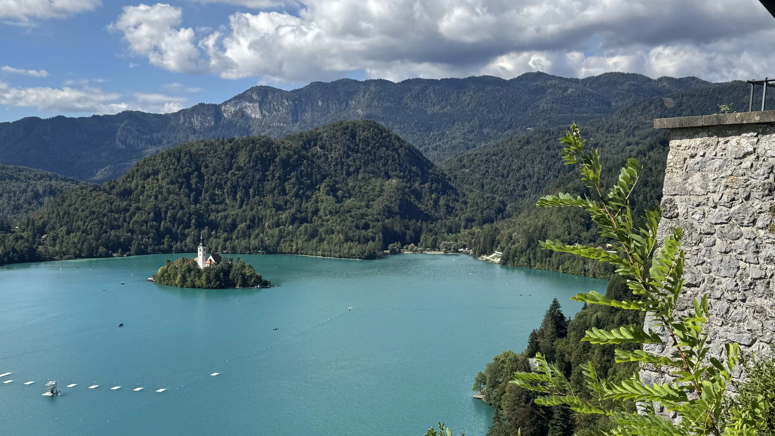
The focal point for the entire loop is the teardrop island sitting in the western half of the lake. Officially the Church of the Mother of God on the Lake (Cerkev Marijinega vnebovzetja), the site has carried masonry since 1142. The present structure is early Baroque, built following the earthquake of 1688, retaining a 54 m freestanding bell tower and the famous south staircase with 99 stone steps. The tower houses a 1534 wishing bell cast by Paduan founder Francesco Patavina, linked to the local legend of Polixena, a grieving widow whose original gift sank to the lake bed during a squall. Visitors still pull the nave rope continuously: you will hear the chime across the water every few minutes until dusk.
The Bled Castle Walk and St. Martin's Parish Church
Start & Finish: Kavarna Park, Cesta svobode 10, 4260 Bled, Slovenia
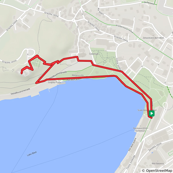
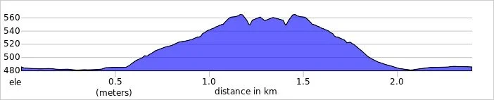
Distance: 2.4 km (1.5 miles)
Elevation change: +/- 84m
GPX File: get via Buy Me a Coffee
Other routes touched (walk): Juliana Trail, Vintgar-Bled, Blejski Razgledni Trail, Gorenjska veja Jakobove poti,
Pubs / Cafes on route: Many in Bled Town, plus Bled Castle Restaurant
Links: Bled Castle, St. Martin's Parish Church
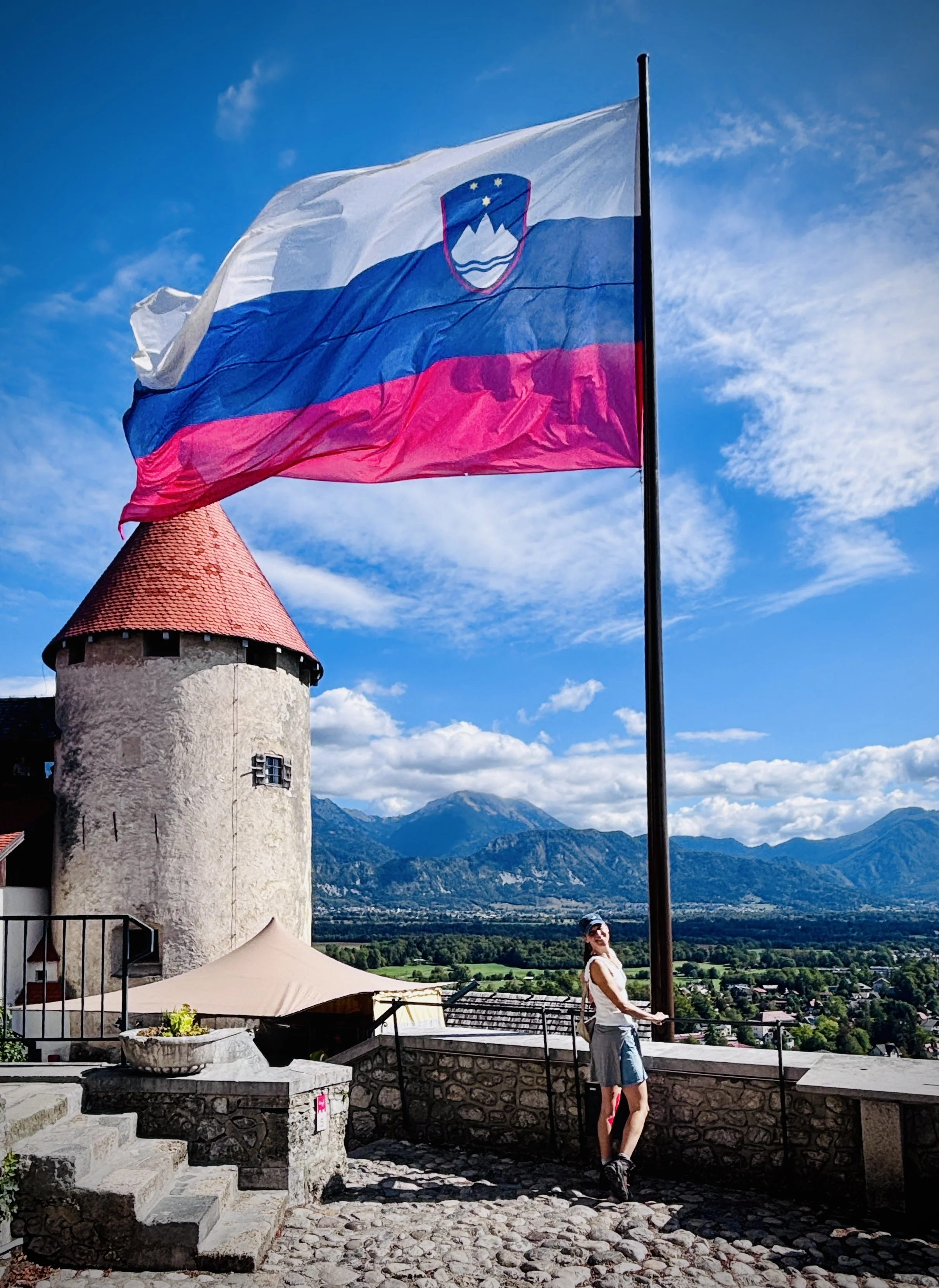
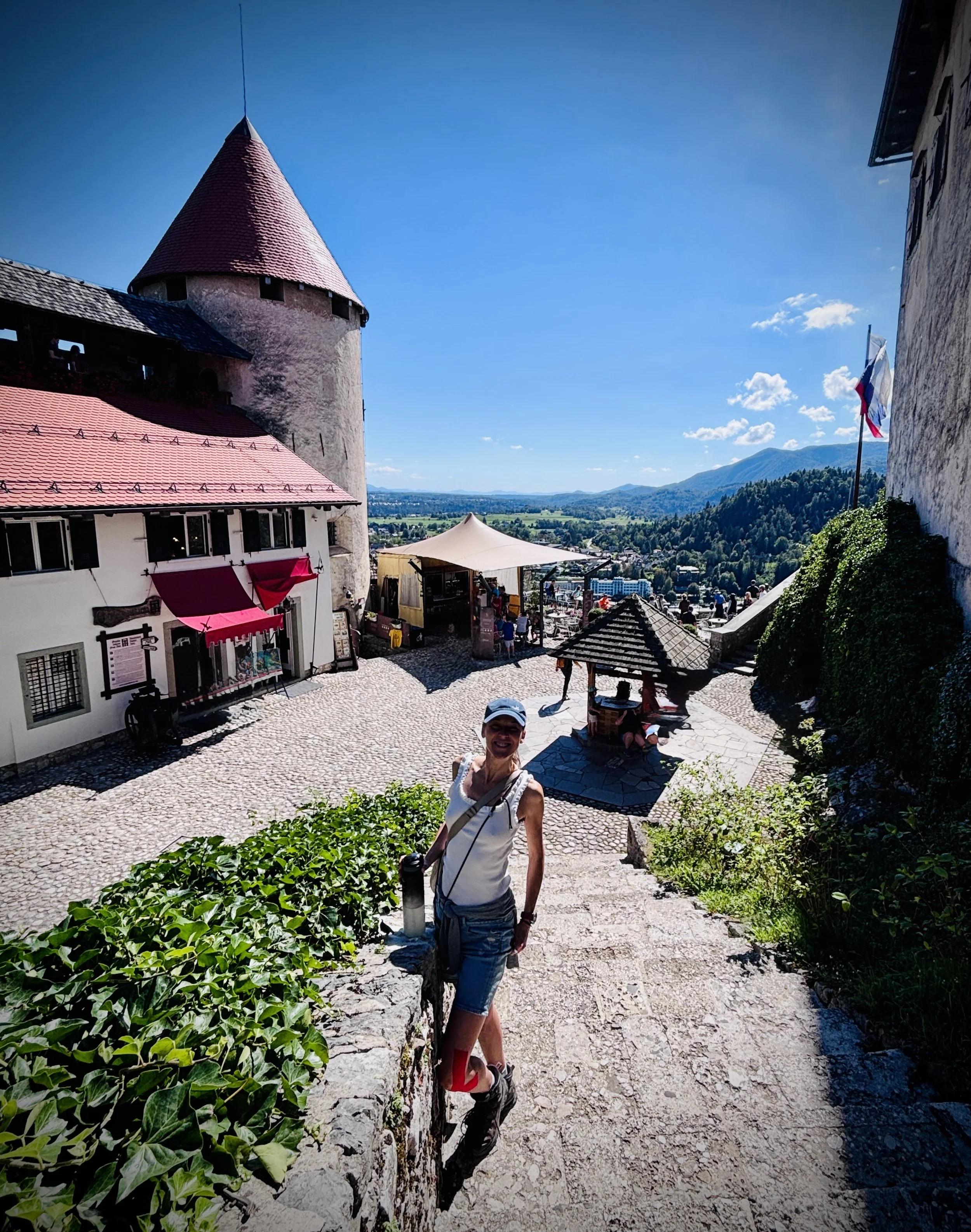
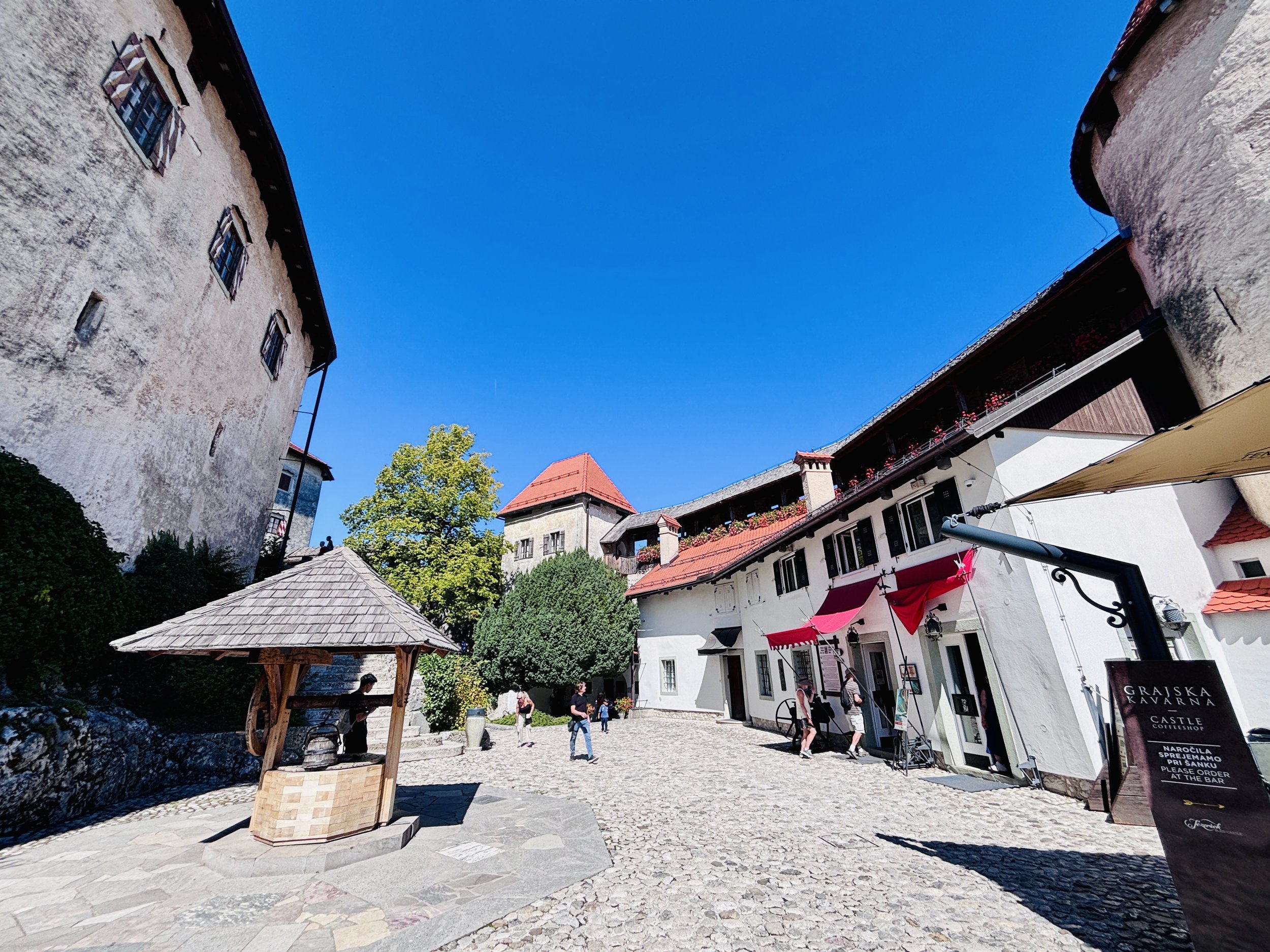
To get above the water without tackling the full mountain ranges, the spur trail to Bled Castle (Blejski grad) is the quickest vertical hit in town.
We started in the town centre, walking anticlockwise along the lake promenade past the Castle Bathing Area (Grajsko kopališče). Immediately after the bathing enclosure, a wooden trail marker points right, indicating the start of the footpath. The trail wastes no time: it climbs via a series of steep, jagged switchbacks directly up the northern cliff. It is short, but the grade is unforgiving on cold legs.
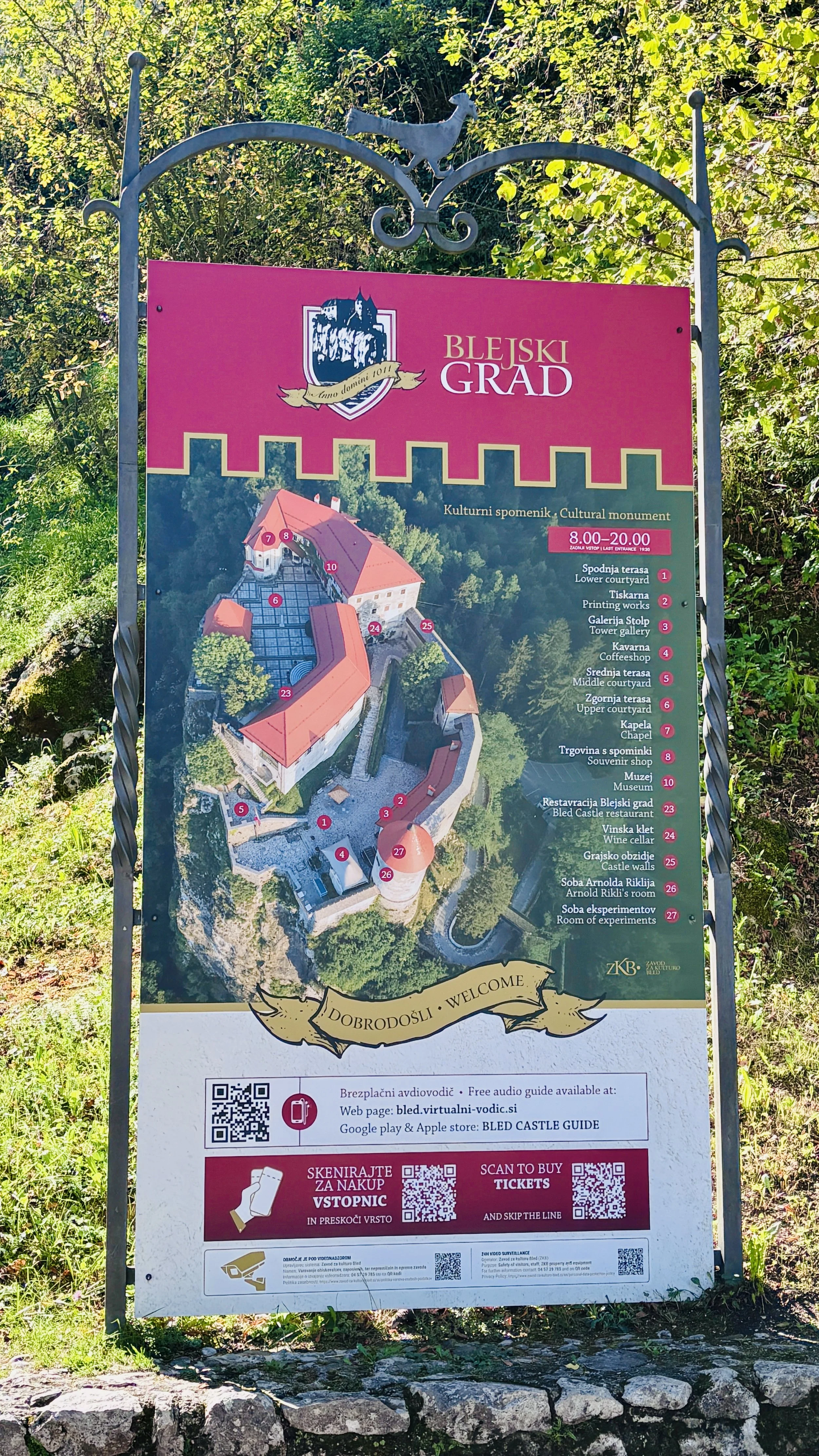
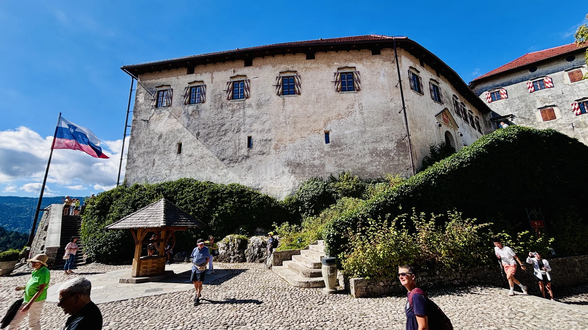
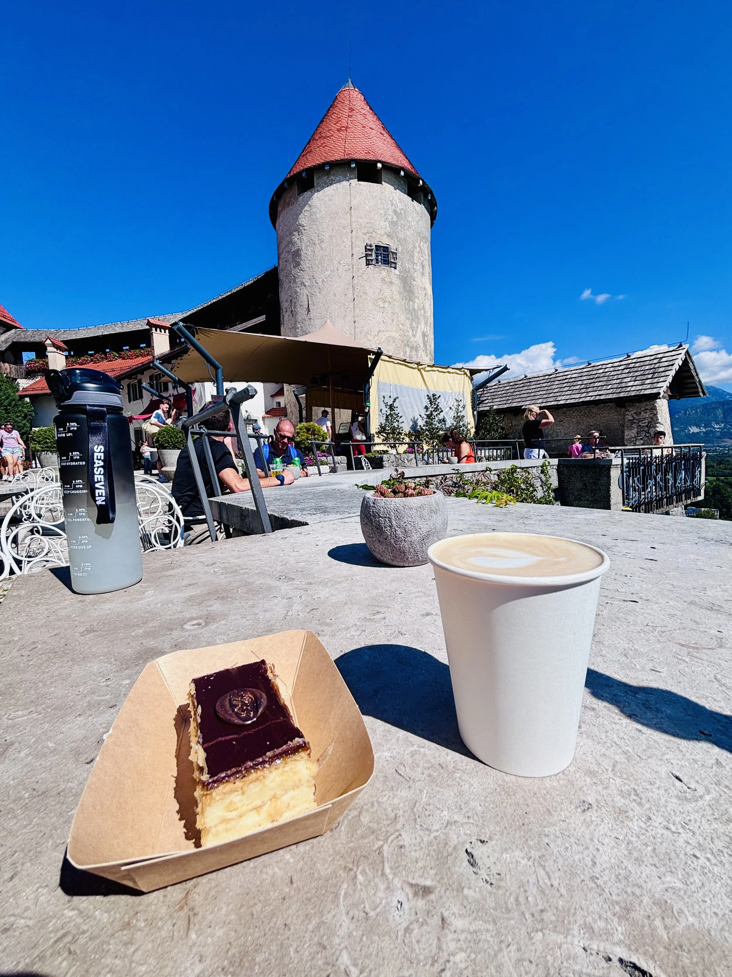
Bled Castle is the oldest recorded fortress in Slovenia, first documented in an imperial deed of 1004 when Emperor Henry II granted the manor to Bishop Albuin of Brixen. The compound features a Romanesque double layout: an inner residential core reserved for the feudal lords, and an outer curtain wall designed to shelter retainers and livestock. Earthquakes in 1511 and 1690 wrecked much of the medieval fabric, forcing extensive Renaissance rebuilds. There is a high-end restaurant operating inside the upper courtyard, but we bypassed the formal dining, sat on the terrace cafe overlooking the lake basin, and had black coffee and cake instead.
For the descent, head back down the same switchback path for roughly 300 metres. At the trail junction halfway down the slope, fork left rather than continuing straight to the lake.
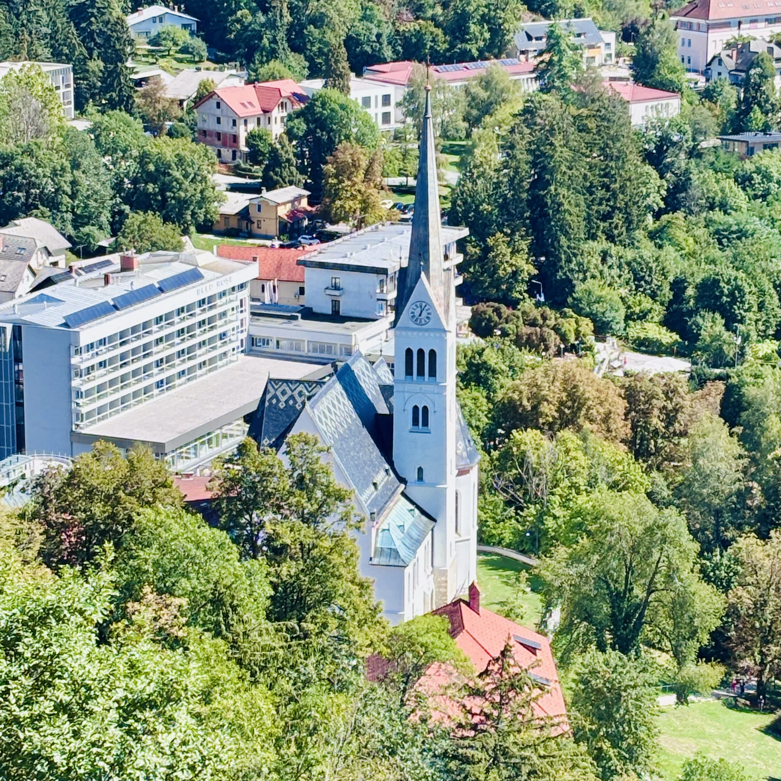
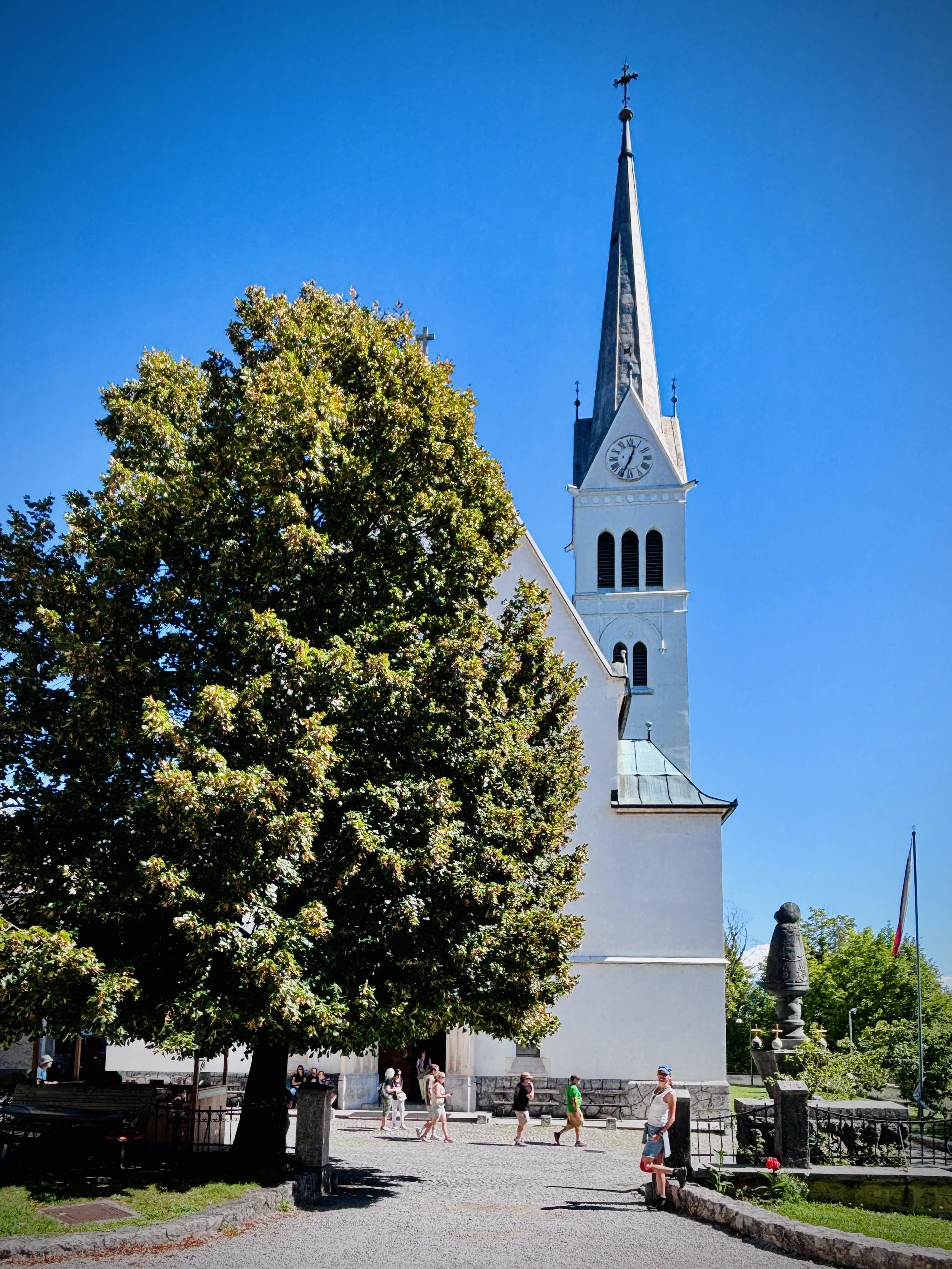
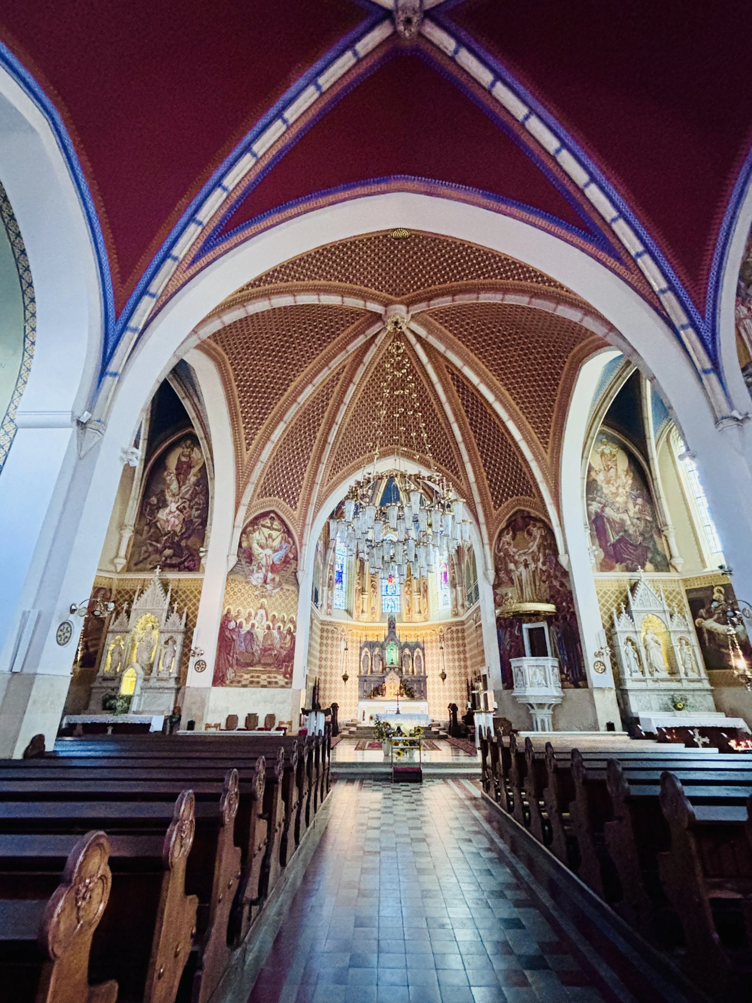
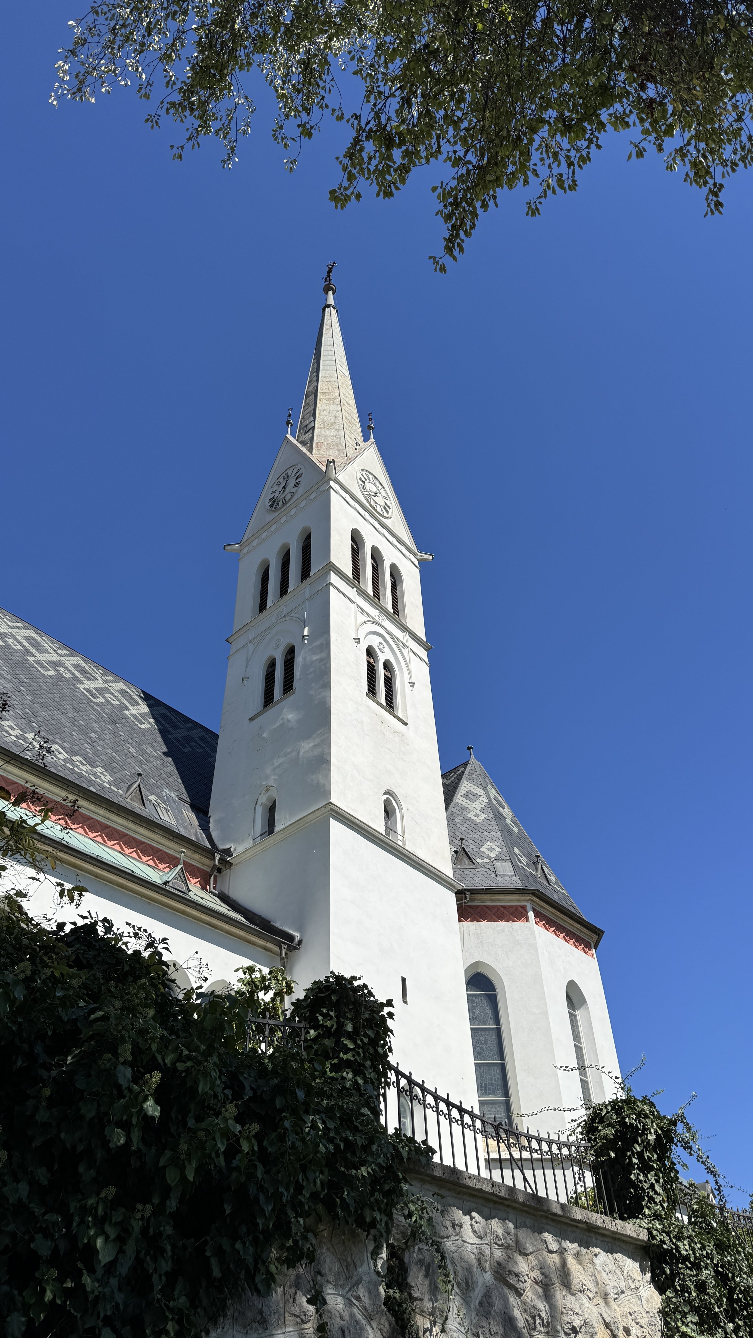
This branch path drops you directly onto the terrace of St. Martin's Parish Church (Župnijska cerkev sv. Martina). The current neo-Gothic building was erected between 1903 and 1905 on the foundations of an earlier 15th-century Gothic church, featuring a 57 m bell tower. The highlight outside is the stone signpost and Marian column in front of the facade, designed in the 1930s by architect Jože Plečnik. From the church steps, a short paved ramp drops you straight back onto the town promenade.
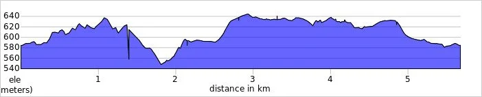
Vintgar Gorge
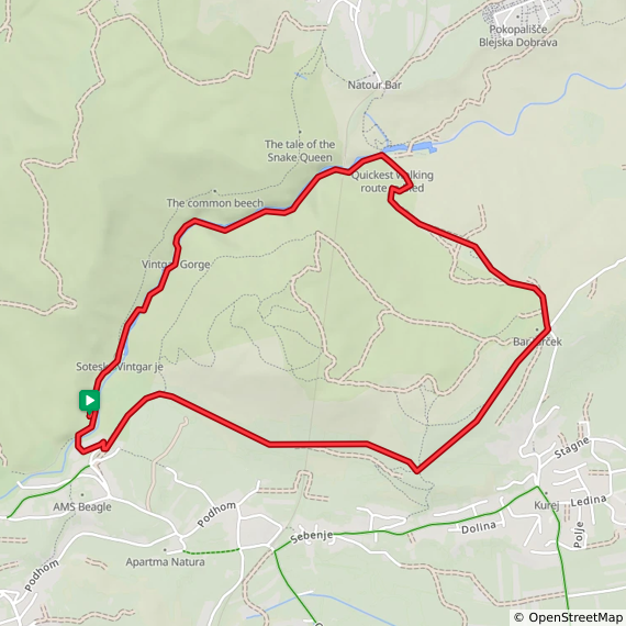
Start & Finish: Park and Ride drop off & collection bay, Soteska Vintgar, Turistično društvo Gorje, Podhom 80, 4247 Zgornje Gorje
Distance: 5.7 km (3.5 miles)
Elevation change: +/- 140m
GPX File: get via Buy Me a Coffee
Other routes touched (walk): Vintgar-Bled, Slovenska geološka pot, Pot kralja Triglava,
Pubs / Cafes on route: Gostilna Vintgar, (near the entrance), Okrepčevalnica Jurček (3 km in)
Links: Vintgar Gorge, Bohinj Railway, Triglav National Park, Blejska Dobrava
On Day 2 we refuelled with another warm lunch, took a brief nap, and sorted our logistics for Vintgar Gorge (Soteska Vintgar).
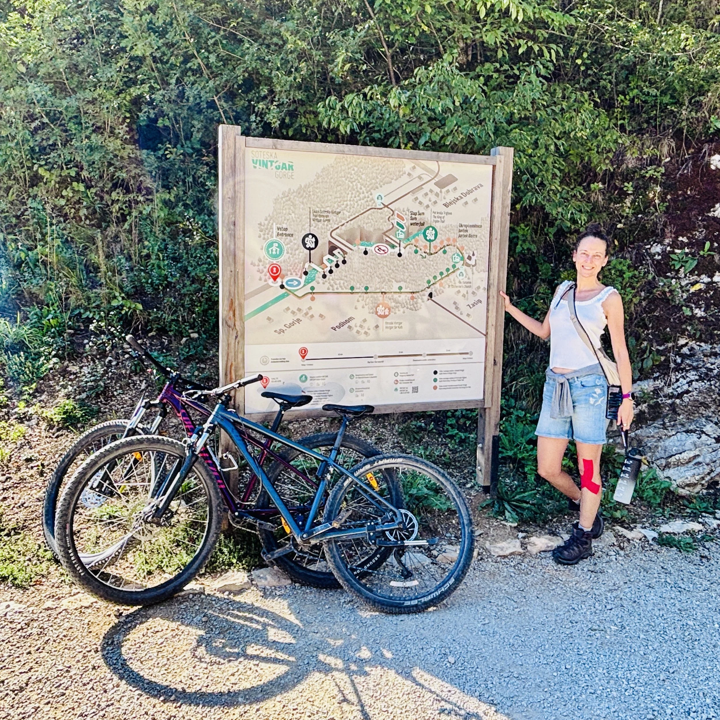
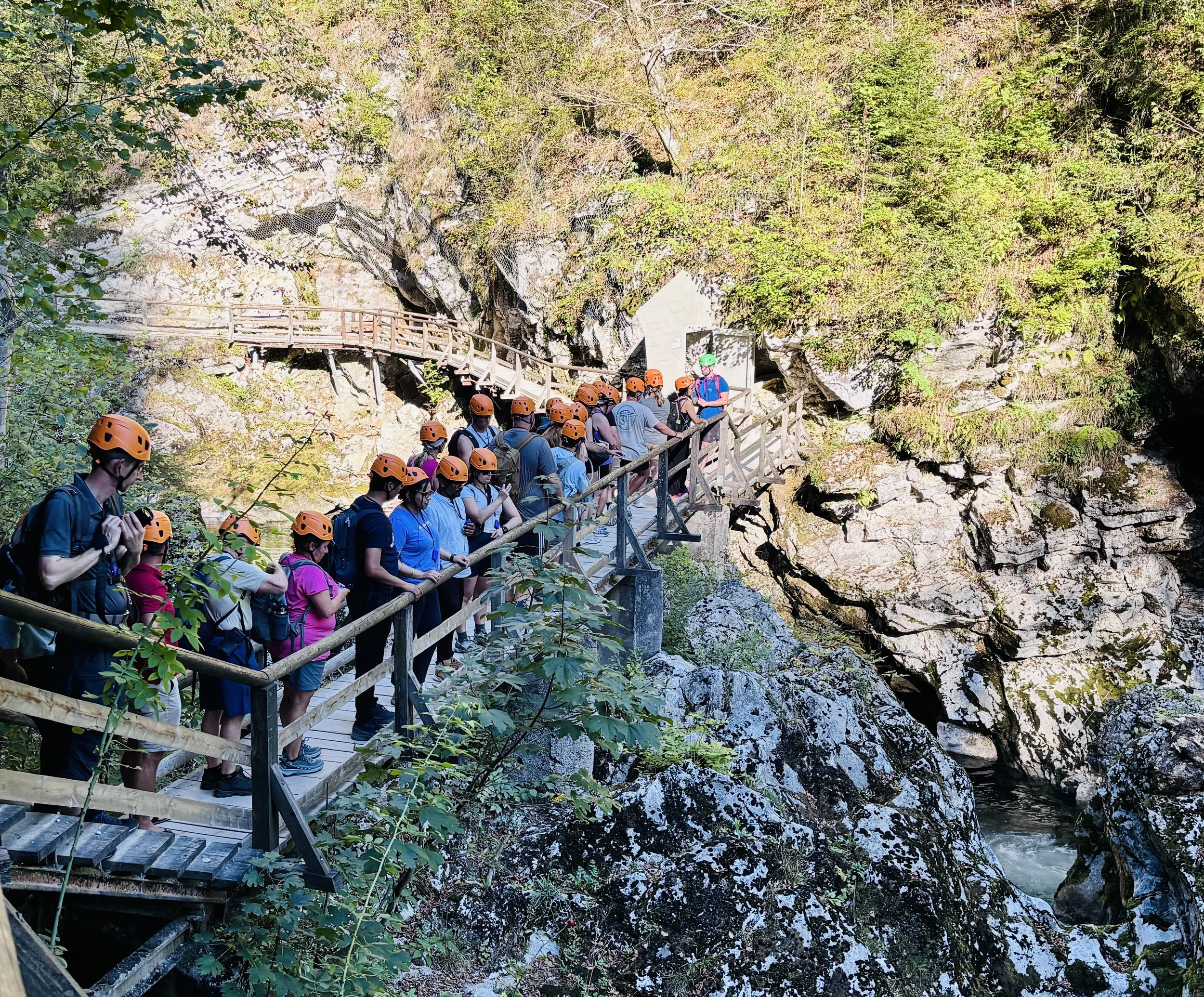
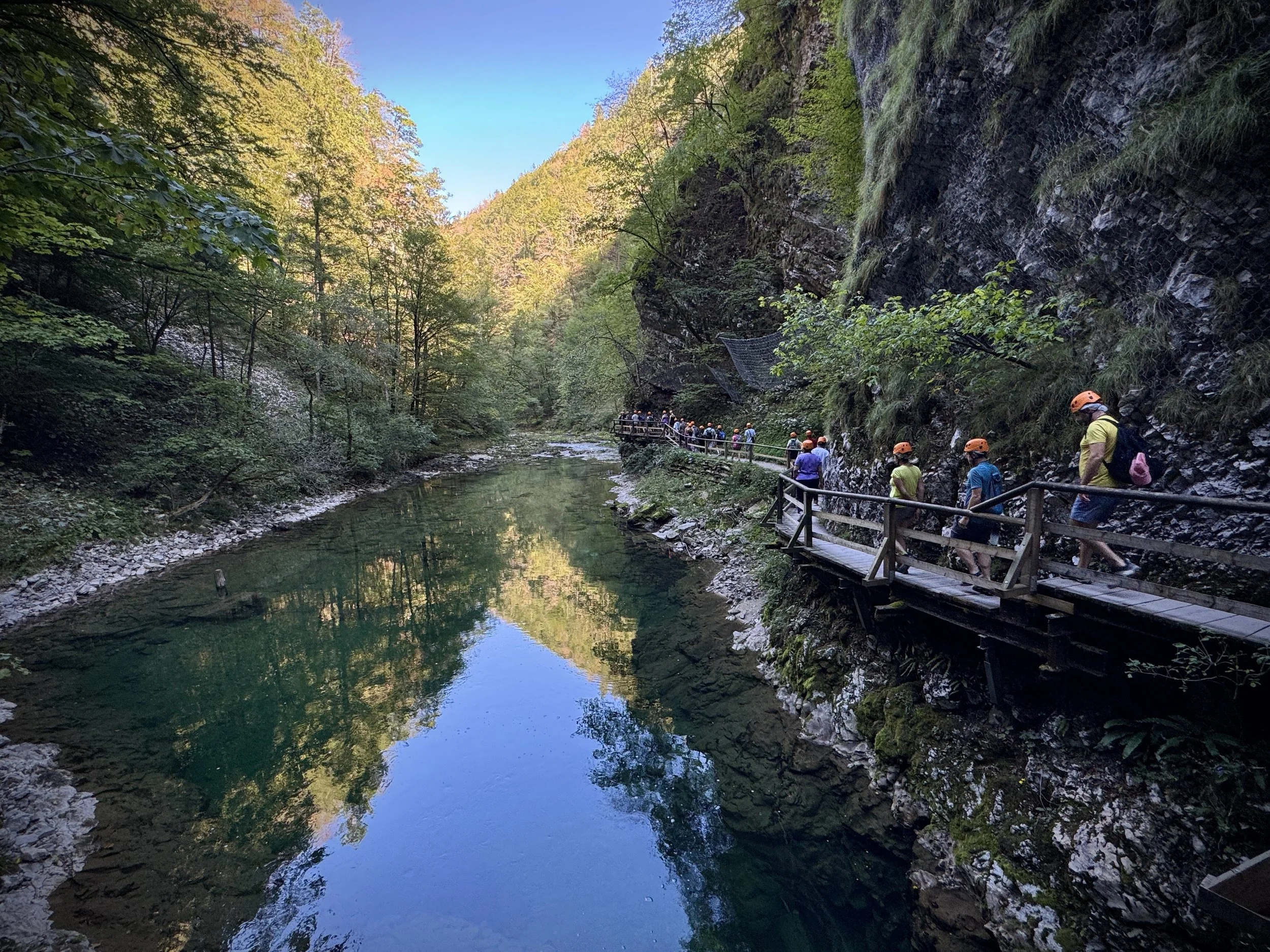
Do not try to drive directly to the gorge entrance: parking there is restricted and strictly managed. We drove 4 km northwest to the Central Vintgar Lip park-and-ride facility in Blejska Dobrava, leaving the car there and taking the 10-minute electric shuttle bus to the visitor centre. Entry is strictly regulated: you cannot buy tickets on arrival. We booked timed-entry slots online beforehand, which include entry, compulsory hard-hat hire, parking, and the shuttle transfer.
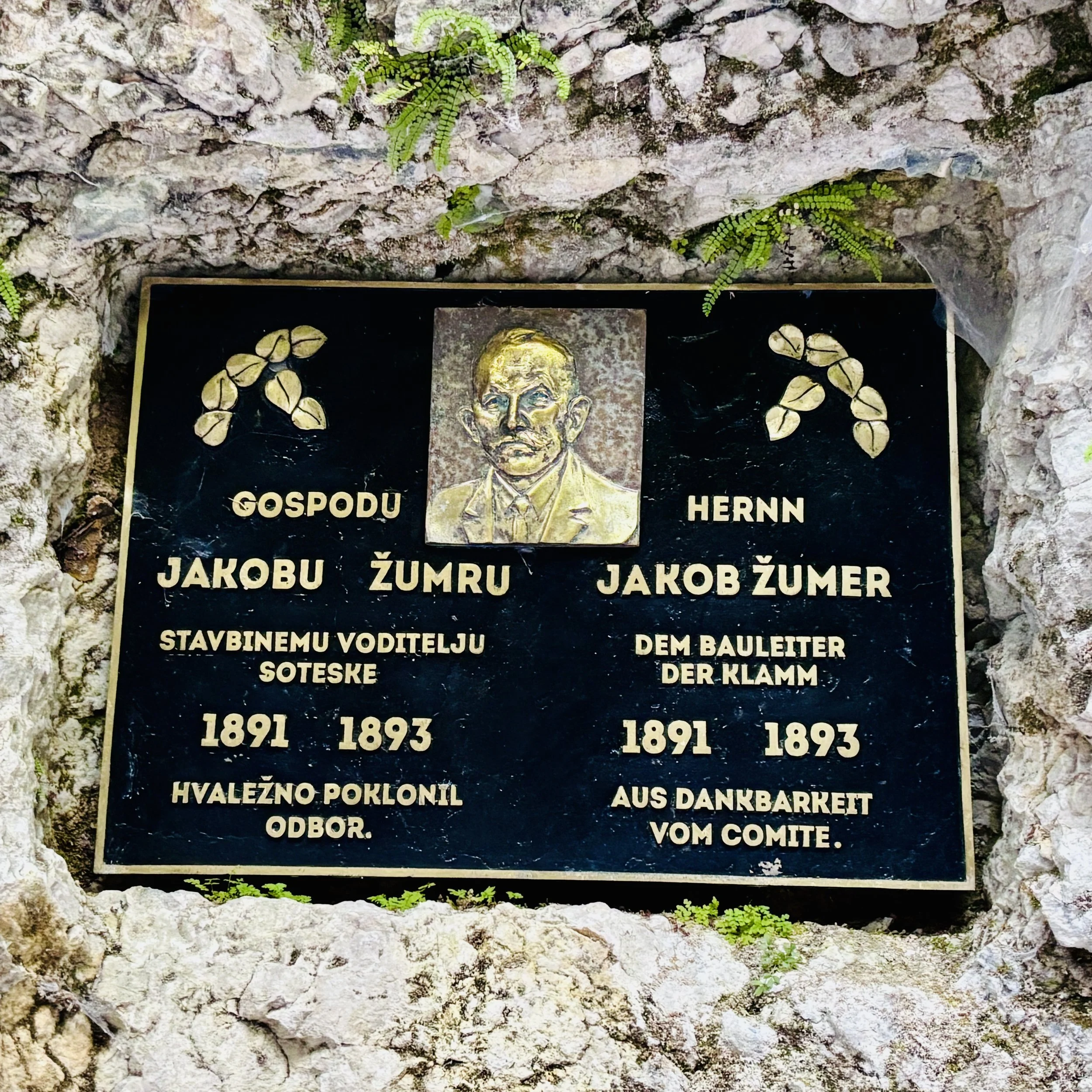
While you can walk the boardwalk unguided, we took a guided group to get the local historical context. Jakob Žumer, the local mayor of Gorje, and photographer Benedikt Lergetporer discovered the impassable section in 1891 during a drought, using basic ropes and ladders to survey the river Radovna. They opened the first timber boardwalks just two years later in 1893.
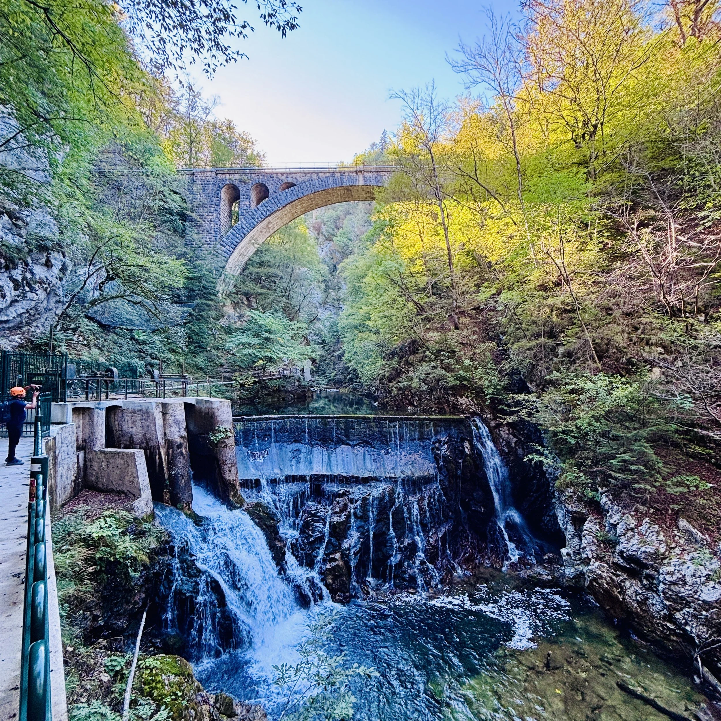
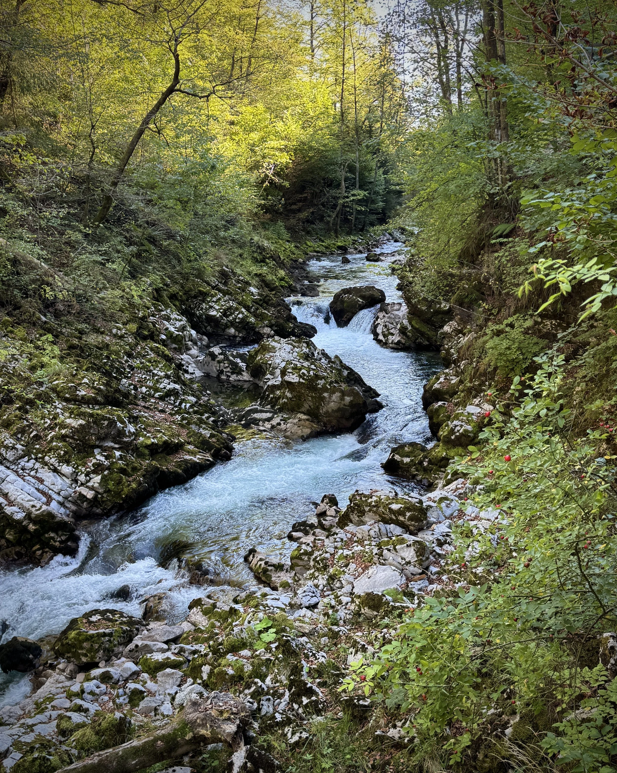
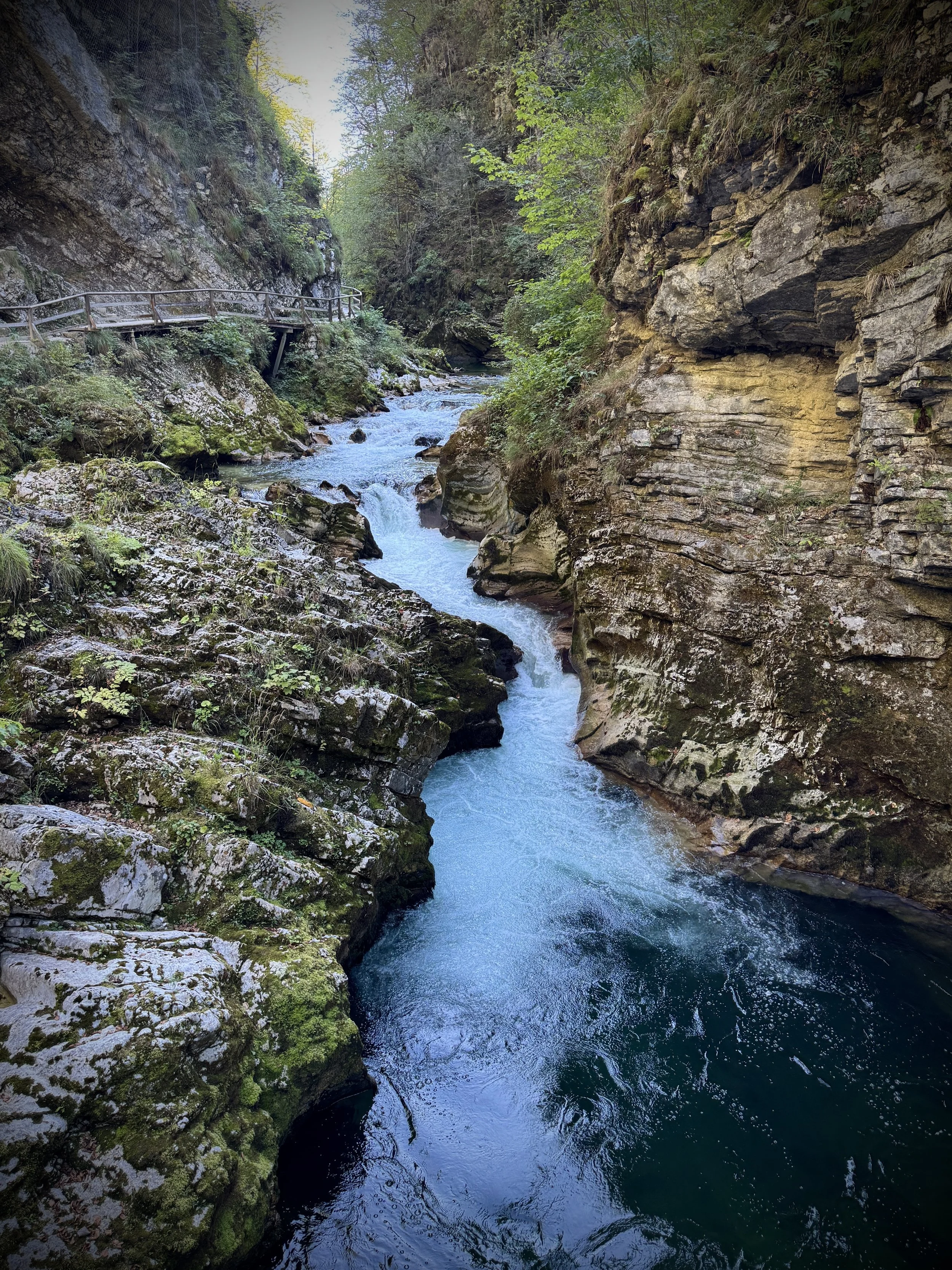
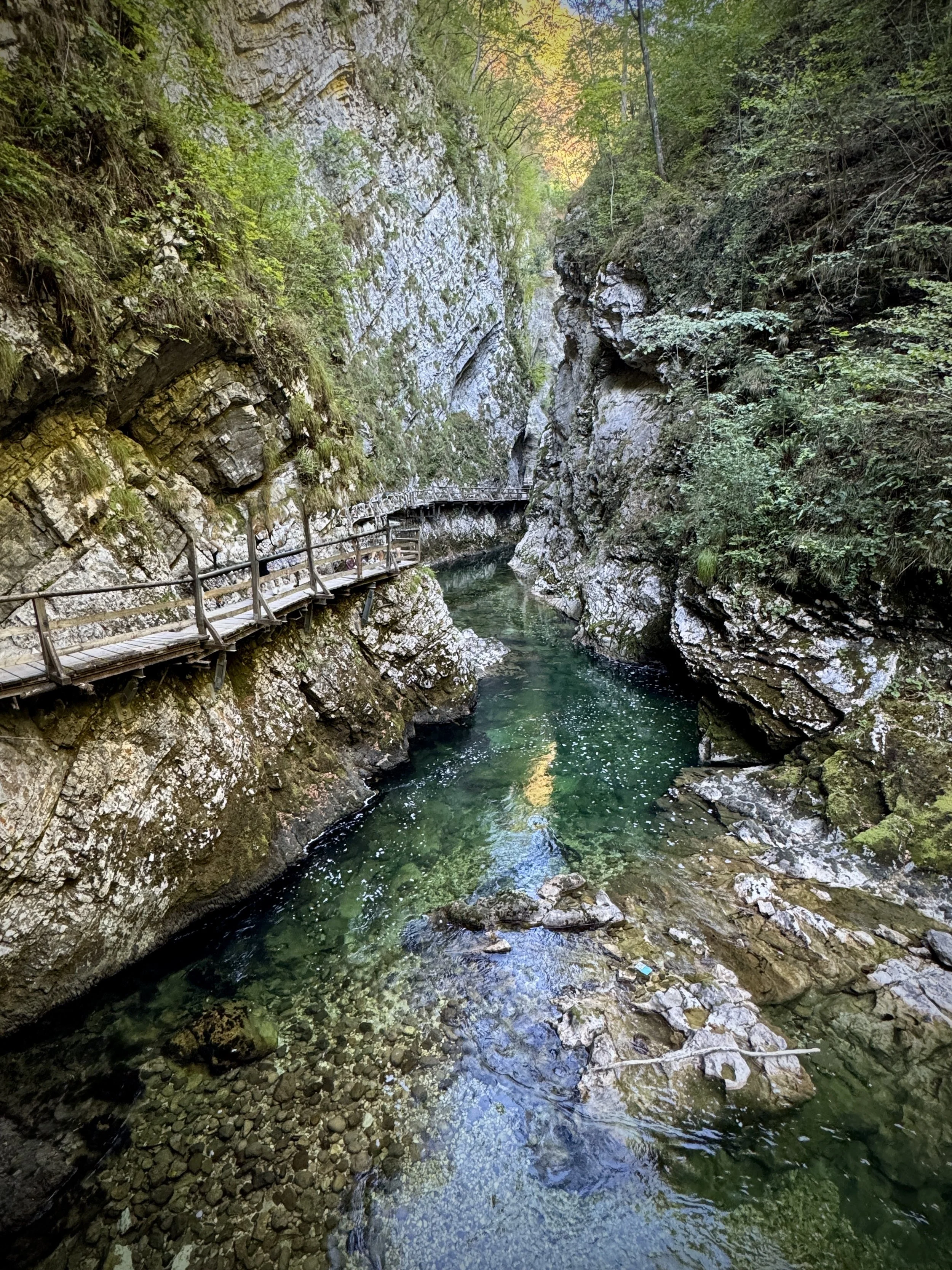
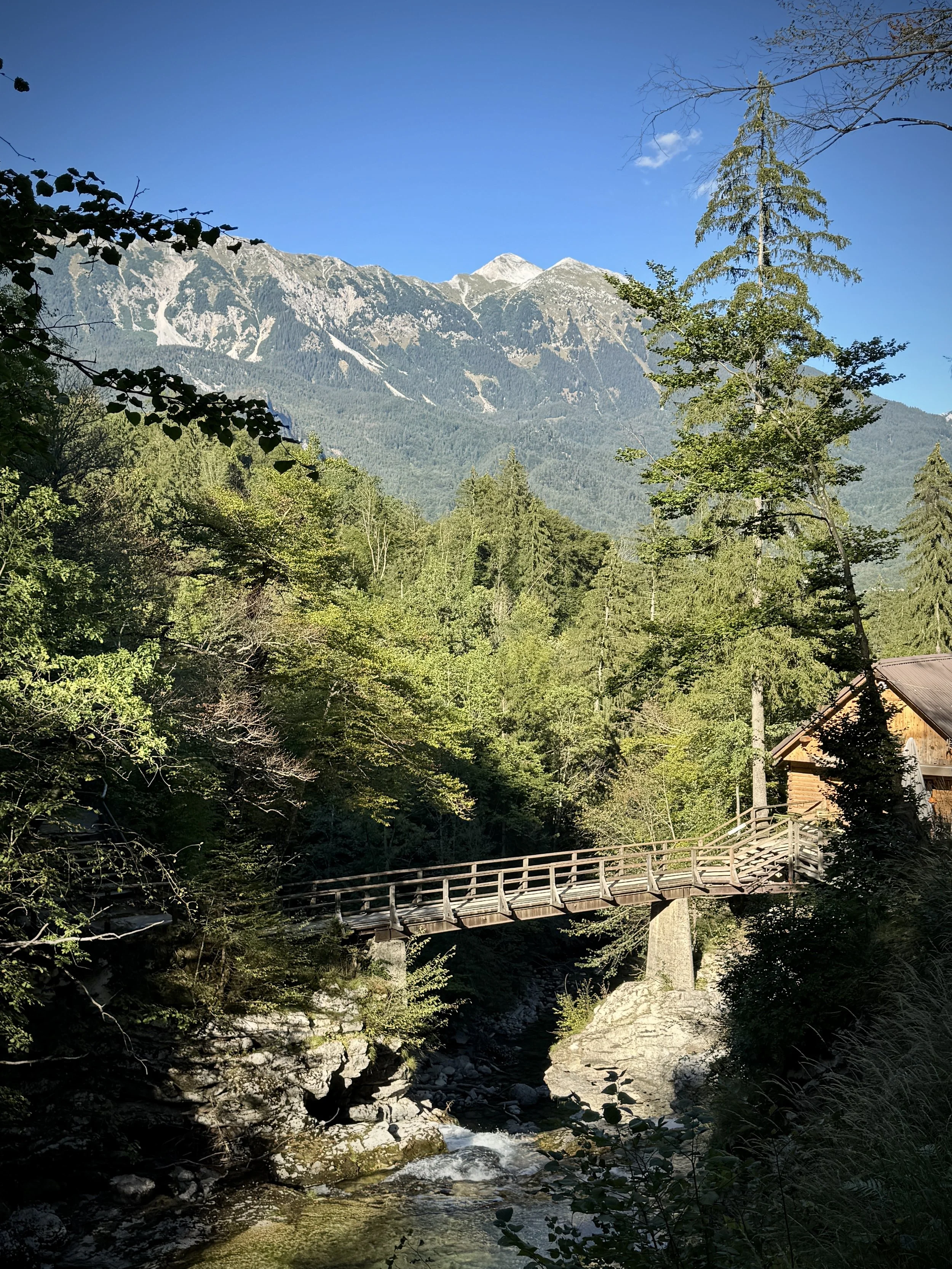
The trail through the canyon is 1.6 km long and strictly one-way. You walk along cantilevered timber gantries pinned directly into vertical limestone walls, with the river running violently underneath. Around the 1 km mark, look up to see the Bohinj Railway bridge spanning the chasm: a single-arch stone viaduct built between 1901 and 1906, carrying the line 33 m above the water.
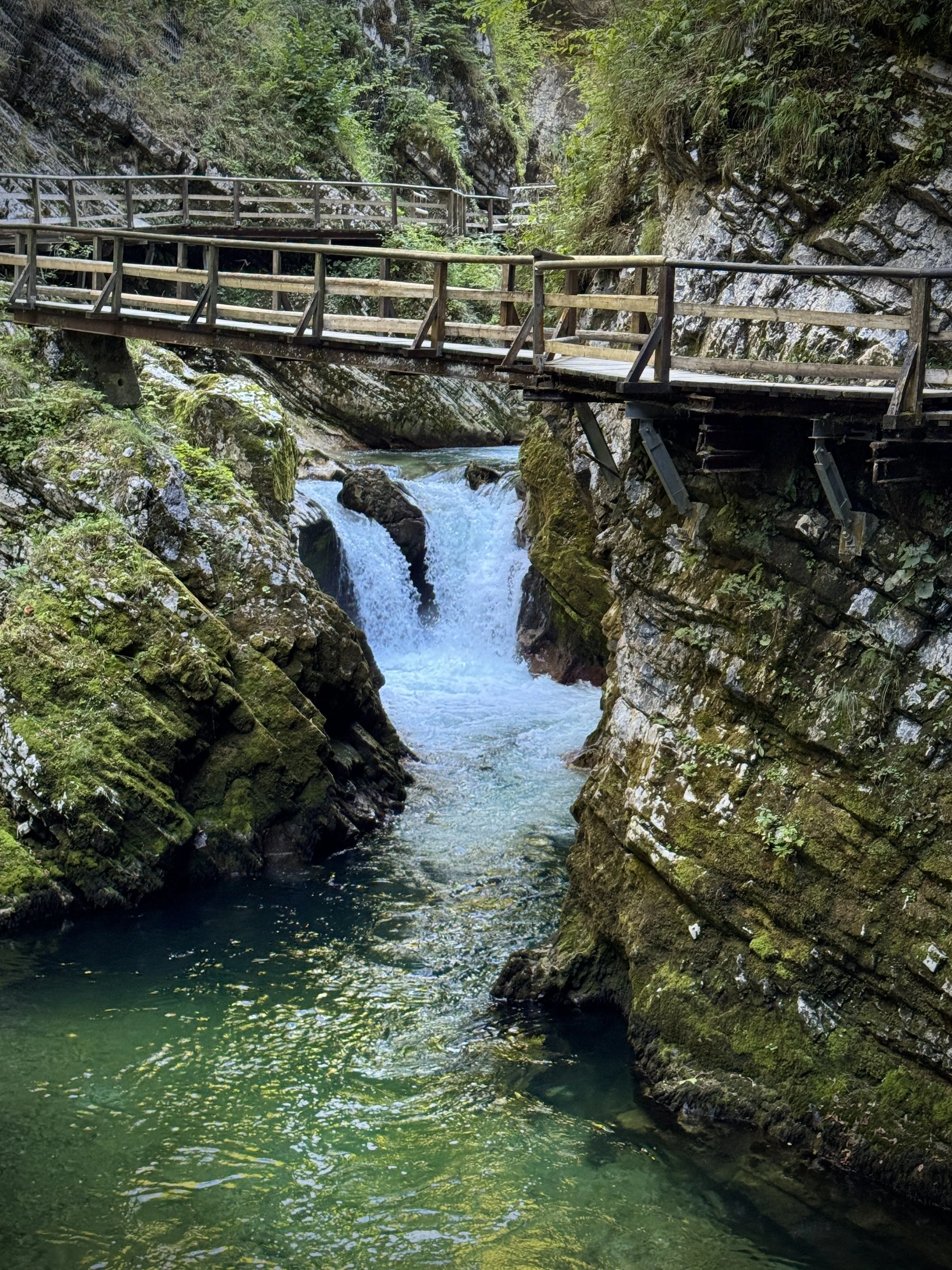
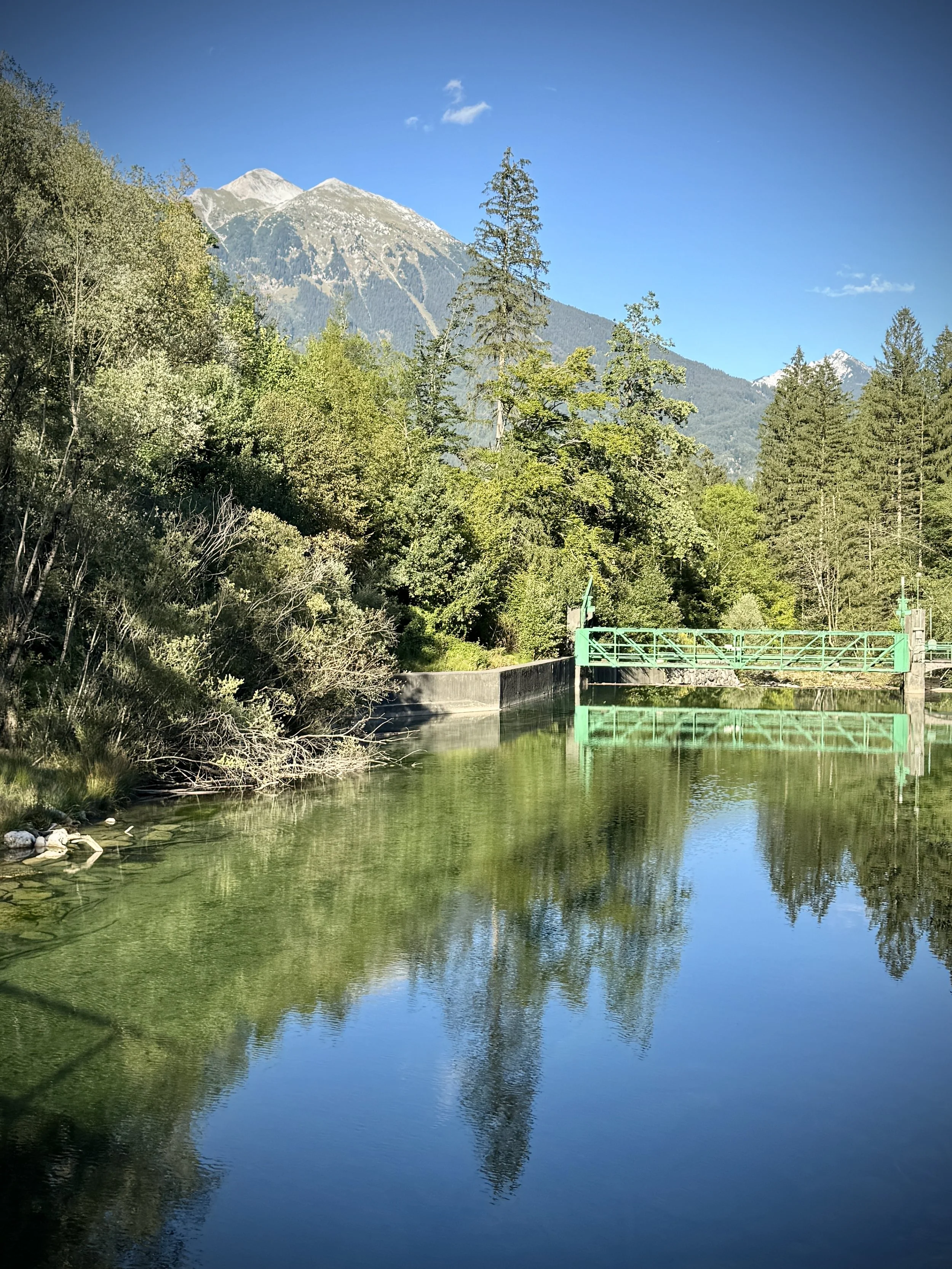
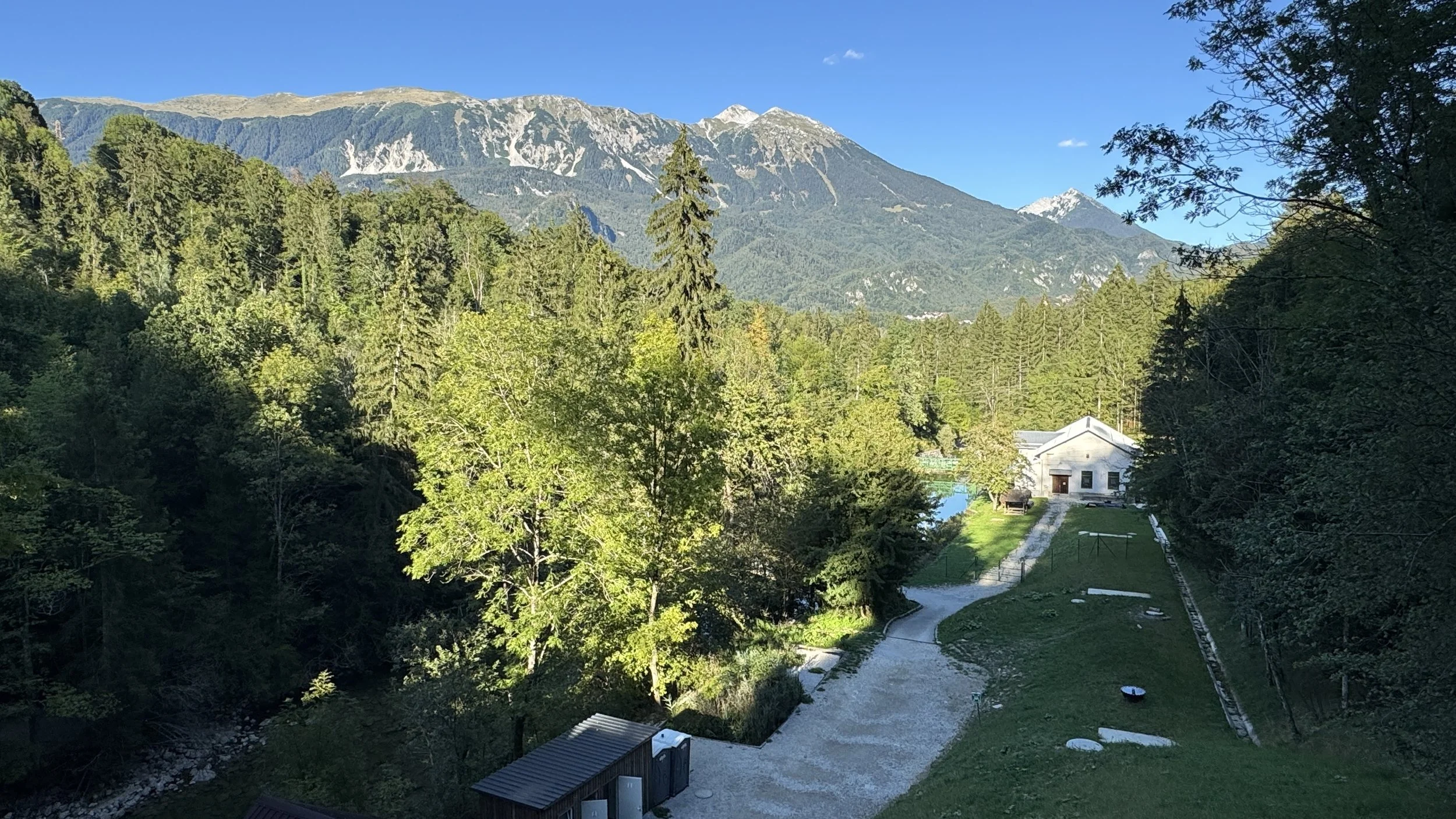
The boardwalk section terminates at the 13-metre Šum Waterfall (Slap Šum) and the intake for Slovenia's oldest operating hydroelectric plant. Timea had an Instagram glitch that stripped the audio track from her video clips here, but the natural white noise of the waterfall in the gorge made recorded music completely redundant anyway.
The return leg cannot be done via the boardwalks. From the hydro plant, the route climbs south on a dirt track through beech forest over the homeward ridge. It is 4 km of undulating, often slick woodland trail before you arrive back at the shuttle stop.
We could easily have filled an entire week here. Because our schedule was locked to our mountain guide's weather window for Triglav, we ran out of time for several local objectives: namely hiring a traditional wooden pletna boat out to the island, running the Sava Dolinka zipline, parascending off the peaks, and the Straža summer toboggan run on the town's former FIS ski hill. We will be back to clear the ledger.