Triglav: Slovenia's High Point
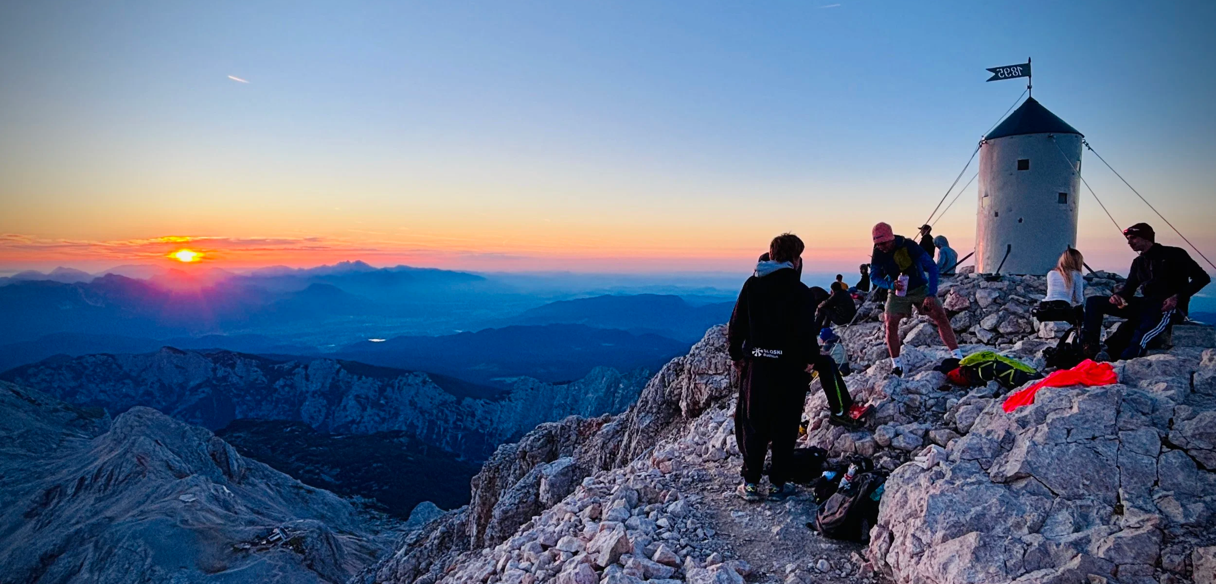
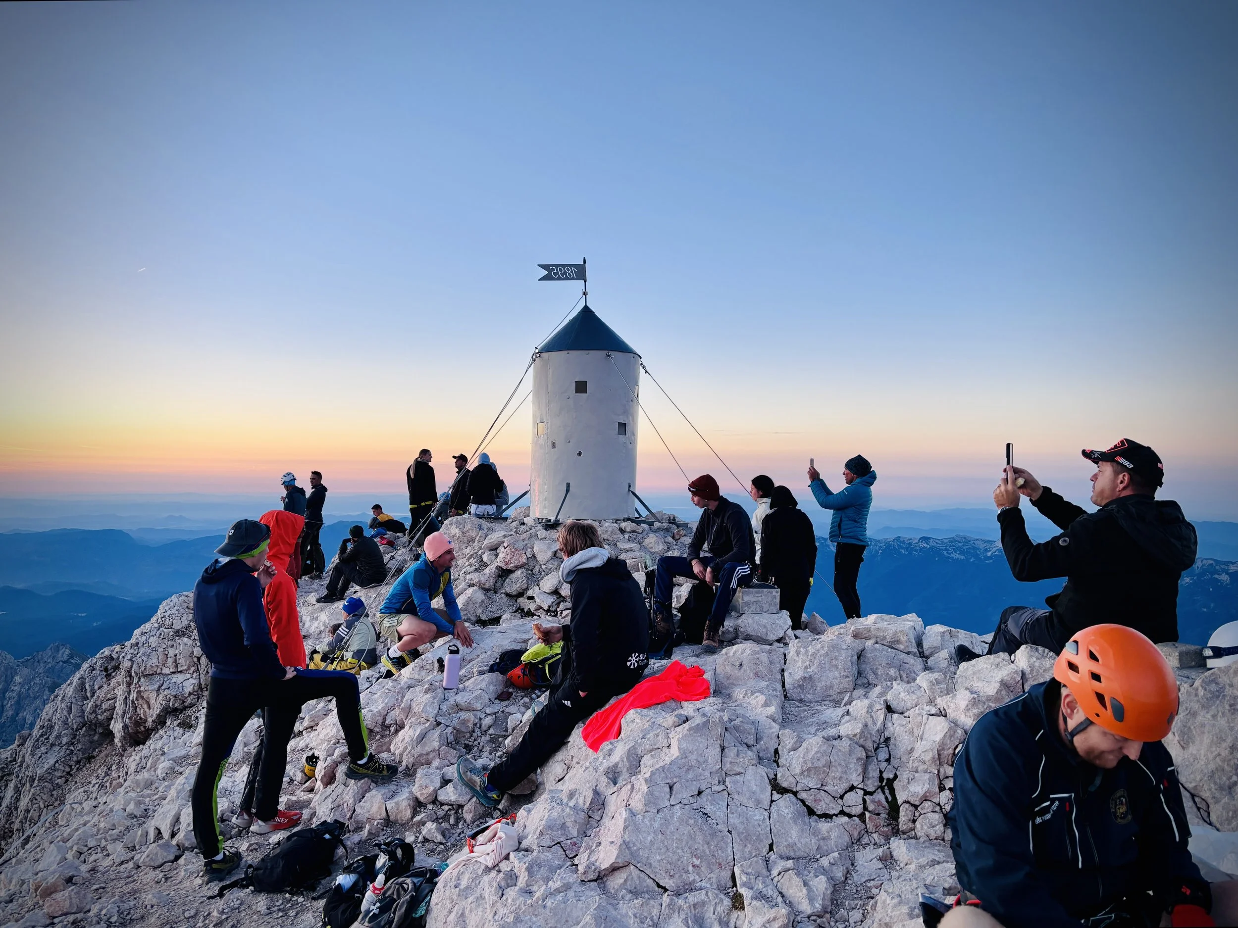
Summit of Triglav at sunrise
Significance: Highest Point in Slovenia
Nearest Higher Neighbour: Reißeck, Austria
Elevation: 2,864m
Date “climbed”: September 8th 2026
Coordinates: 46° 22' 42'' N, 13° 50' 12'' E
Subsidiary tops on route: Mali Triglav (2,738m)
Links: Wikipedia: (Julian Alps, Triglav National Park, Triglav). Peakbagger
The seed for this adventure was planted exactly a year ago, right after we completed our Mount Fuji hike. We enjoyed that experience so much that when we sat down to plan our adventures for this year, we knew we wanted to tackle another challenging climb. After some research, and hearing some great stories from friends who had done it before, we landed on Mount Triglav.
The mountain is culturally significant to Slovenians, so much so that its iconic three peaks are actually featured on the national coat of arms on the Slovenian flag. Knowing its importance made the climb feel even more special, and we mapped out a week in Slovenia this September, with the two-day Triglav hike as the main event.
Originally, we had planned our own route and were thinking of going self-guided. However, we eventually decided to use a local guide instead, based on a recommendation from a friend I met years ago on the High Peaks of the Balkans trip. As it turned out, hiring our guide, Jakob, was the best decision we could have made. We probably wouldn't have made it all the way, particularly the exposed via ferrata sections, without him, and we definitely wouldn't have attempted the pitch-black morning hike to catch the sunrise!
With the plans in place, we arrived in Slovenia. After a rainy weekend, the weather turned absolutely fabulous, and we could finally see Mount Triglav clearly from our hotel room in Bled on Monday morning.
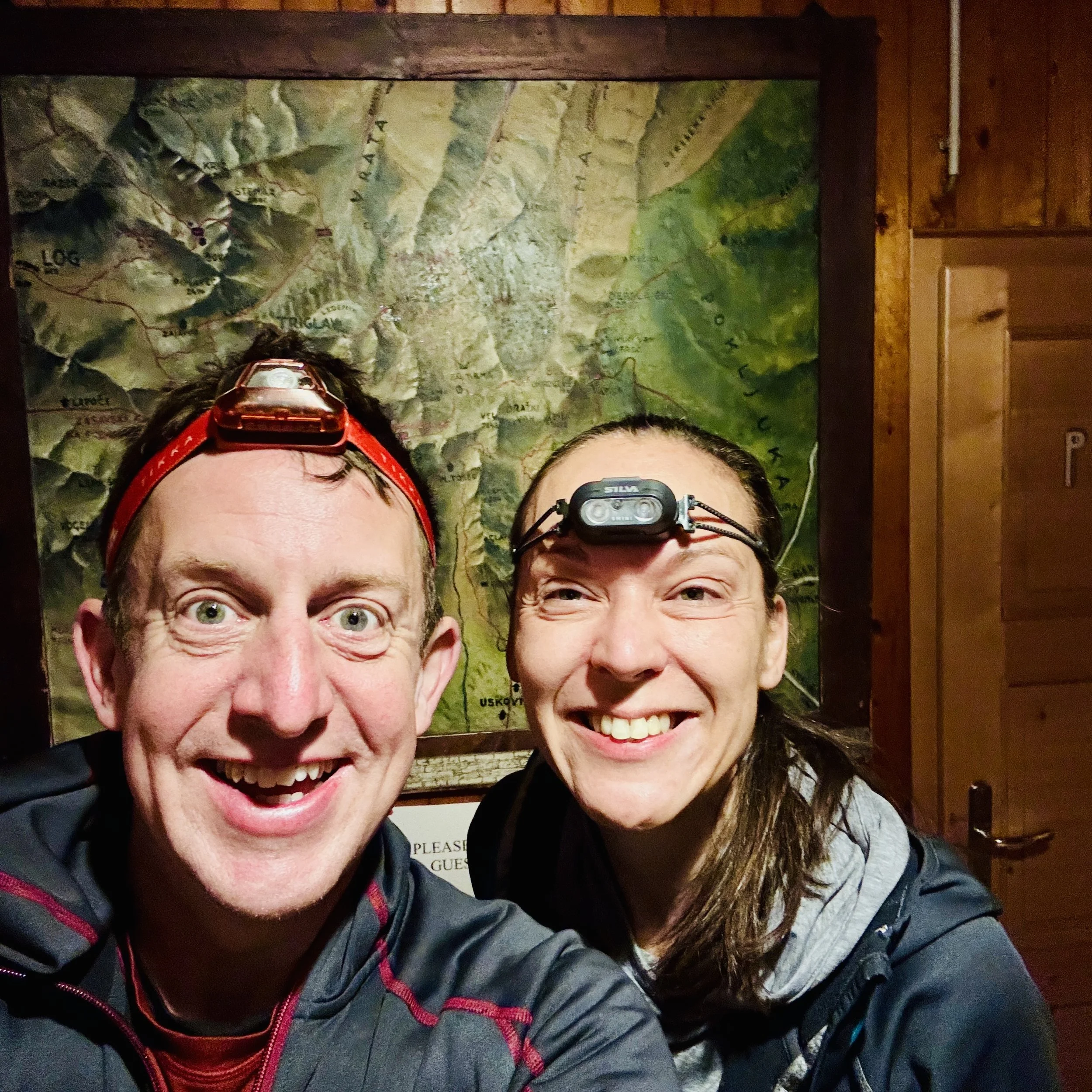
Jakob picked us up at around 8:00 am to start the adventure. I have to admit, there was a brief moment of panic from Timea when she first saw the sheer height of the peak, and trying to manage gluten-free and dairy-free food on a mountain expedition proved to be a bit of a nightmare for her digestion. But once we were on the trail, it was all systems go.
Day 1: Krma Valley to Dom Planika Refuge
Date: September 7th 2026
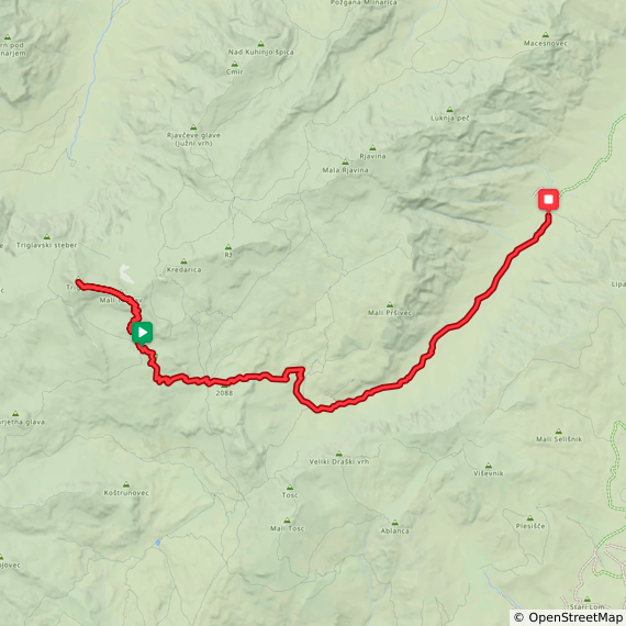
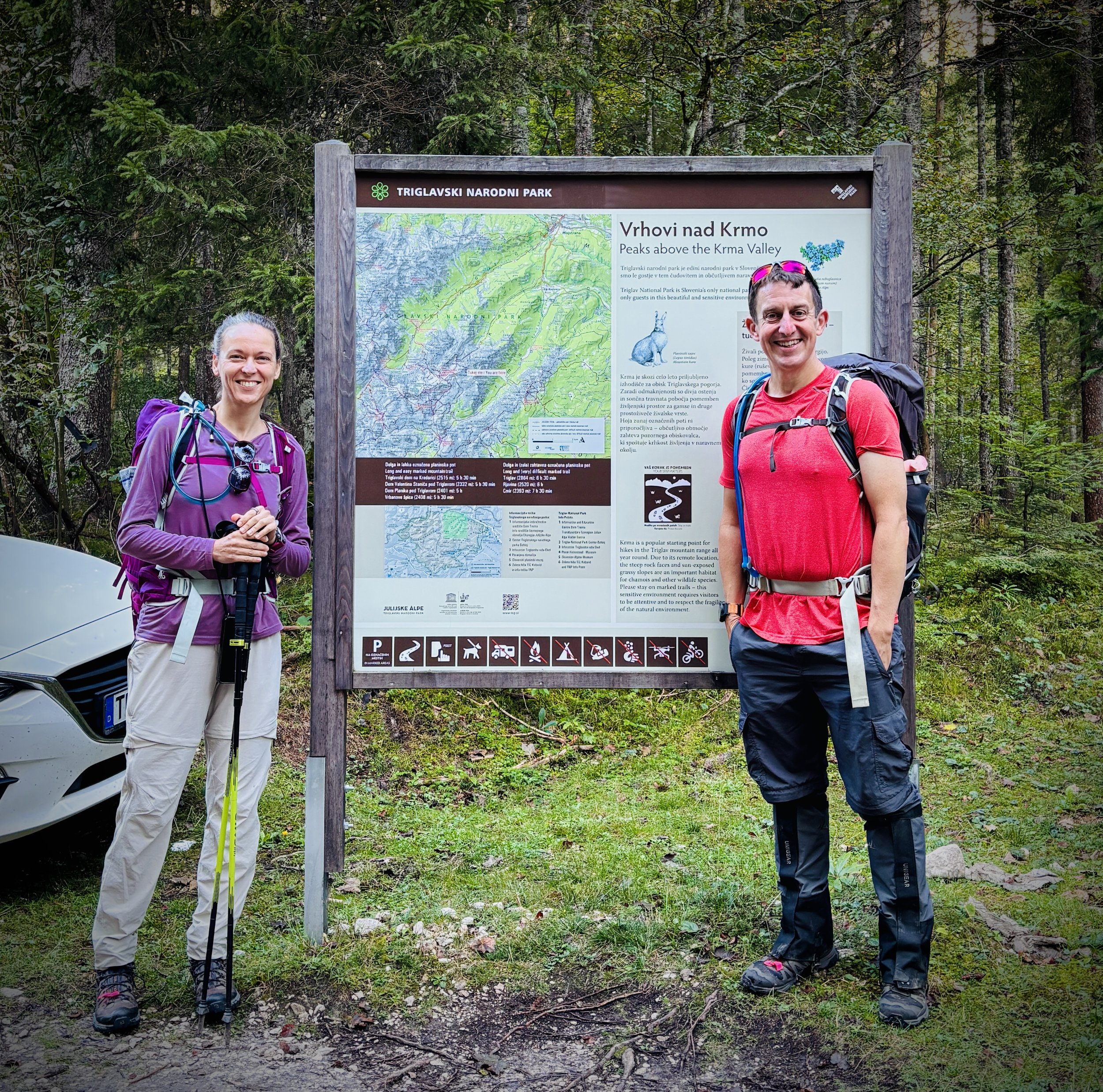
Start: Car park at the end of the road in the Krma Valley (46°23'06.6"N 13°54'25.5"E)
Finish: Dom Planika Refuge, Stara Fužina 243, 4265 Bohinjsko jezero
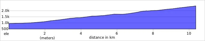
Distance: 10.4 km (6.5 miles)
Elevation change: +1,454m
GPX File: get via Buy Me a Coffee
Other Routes Touched: JK11, JK10
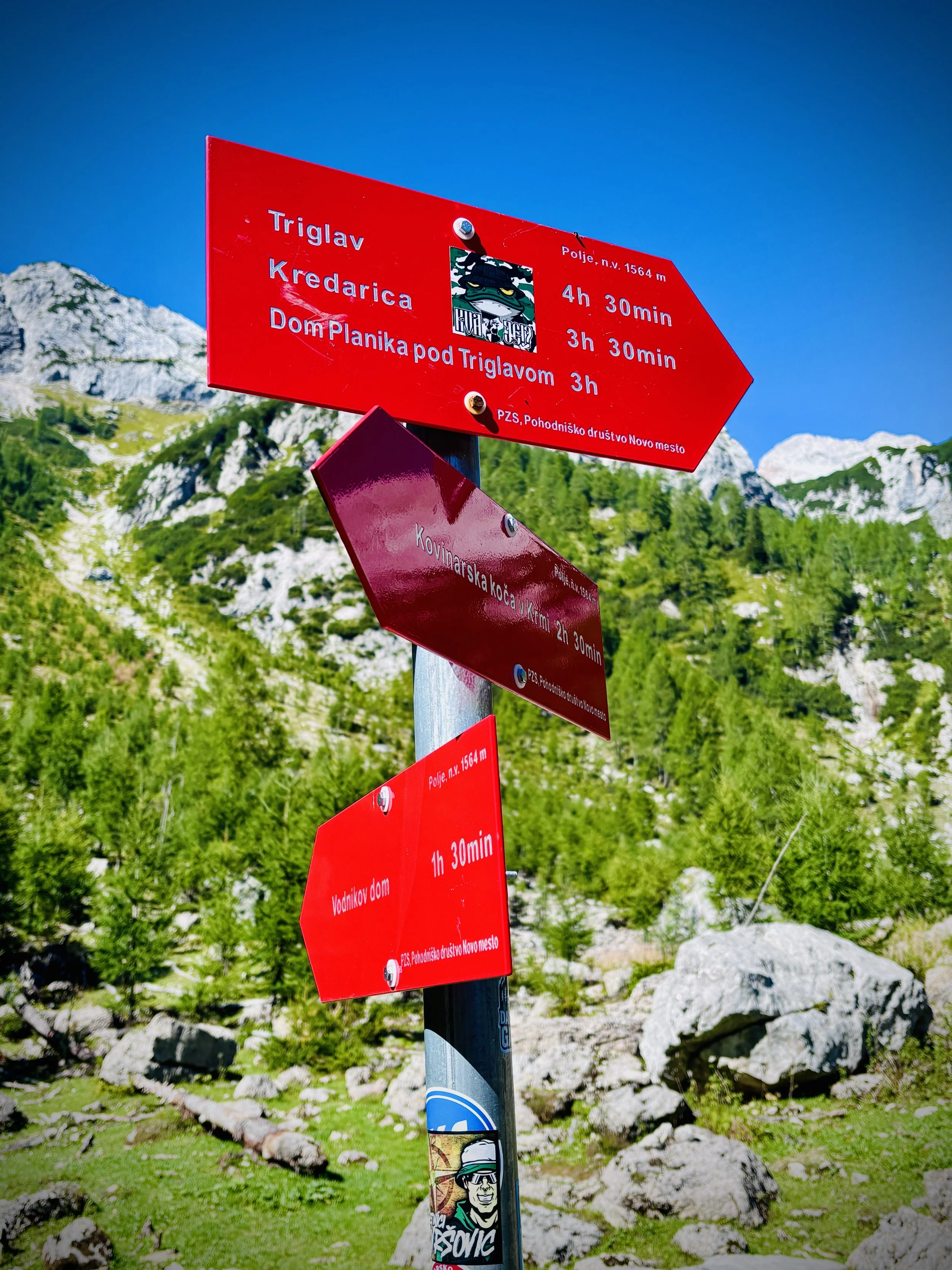
We did the route as an out-and-back starting from the car park in the Krma Valley. Jakob suggested this specific route because, while it is the longest approach, it avoids the sheer vertical drops of the northern valleys and is a bit less technical. For a first Triglav summit, it was definitely the smart choice.
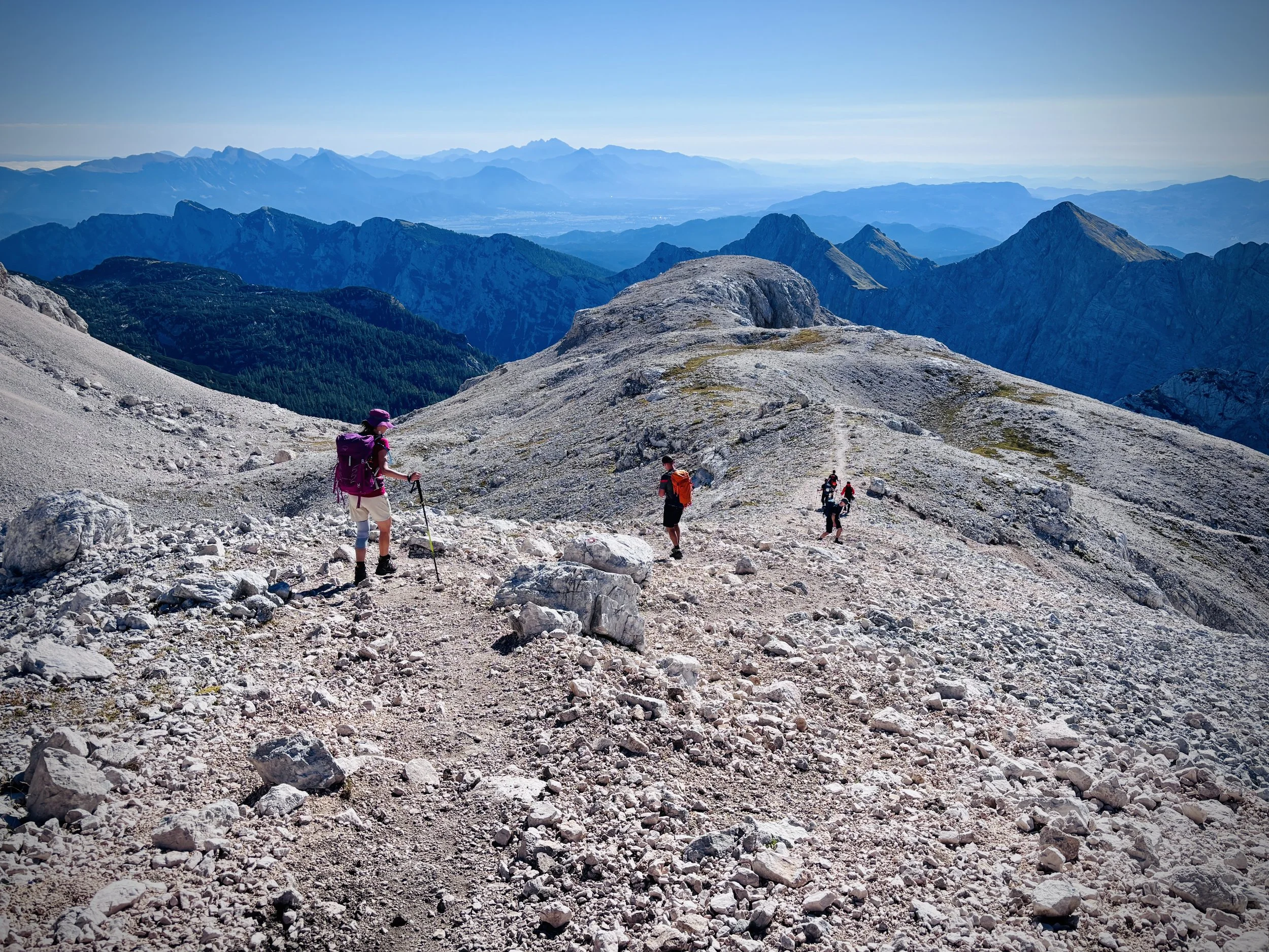
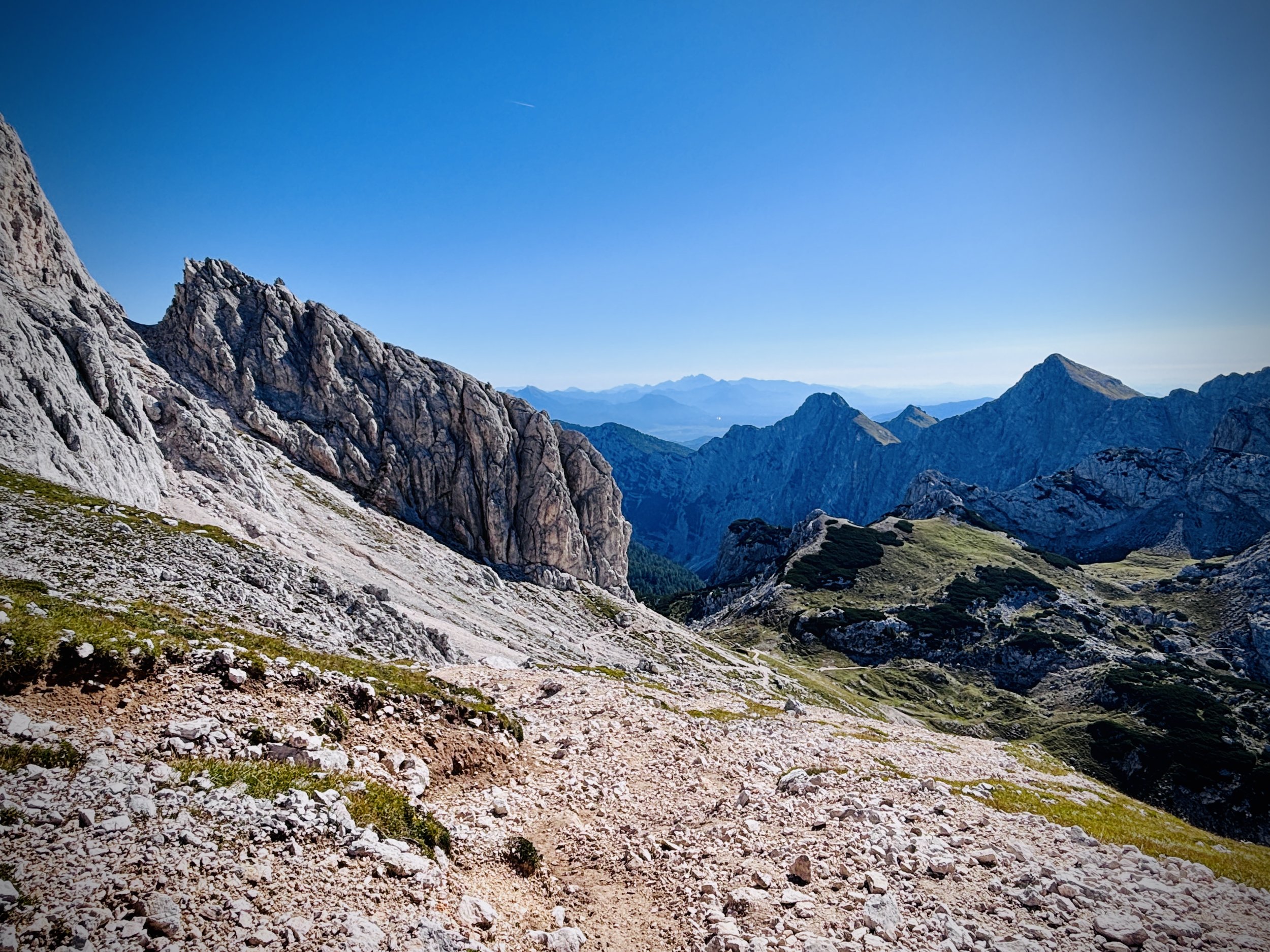
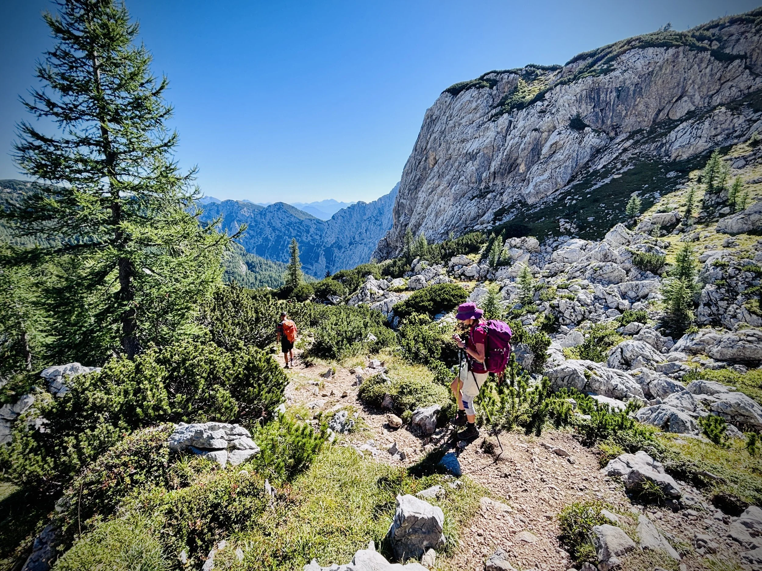
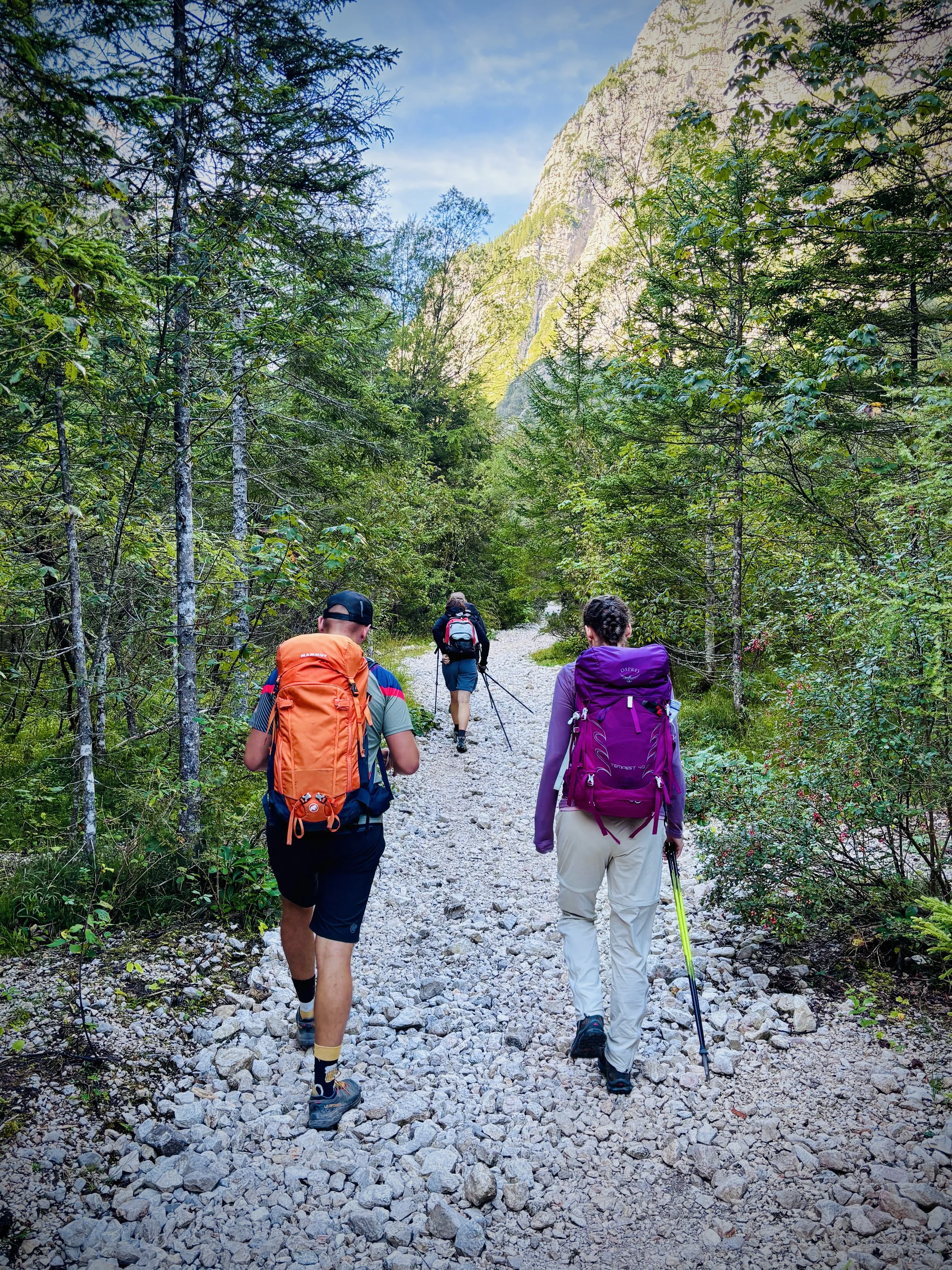
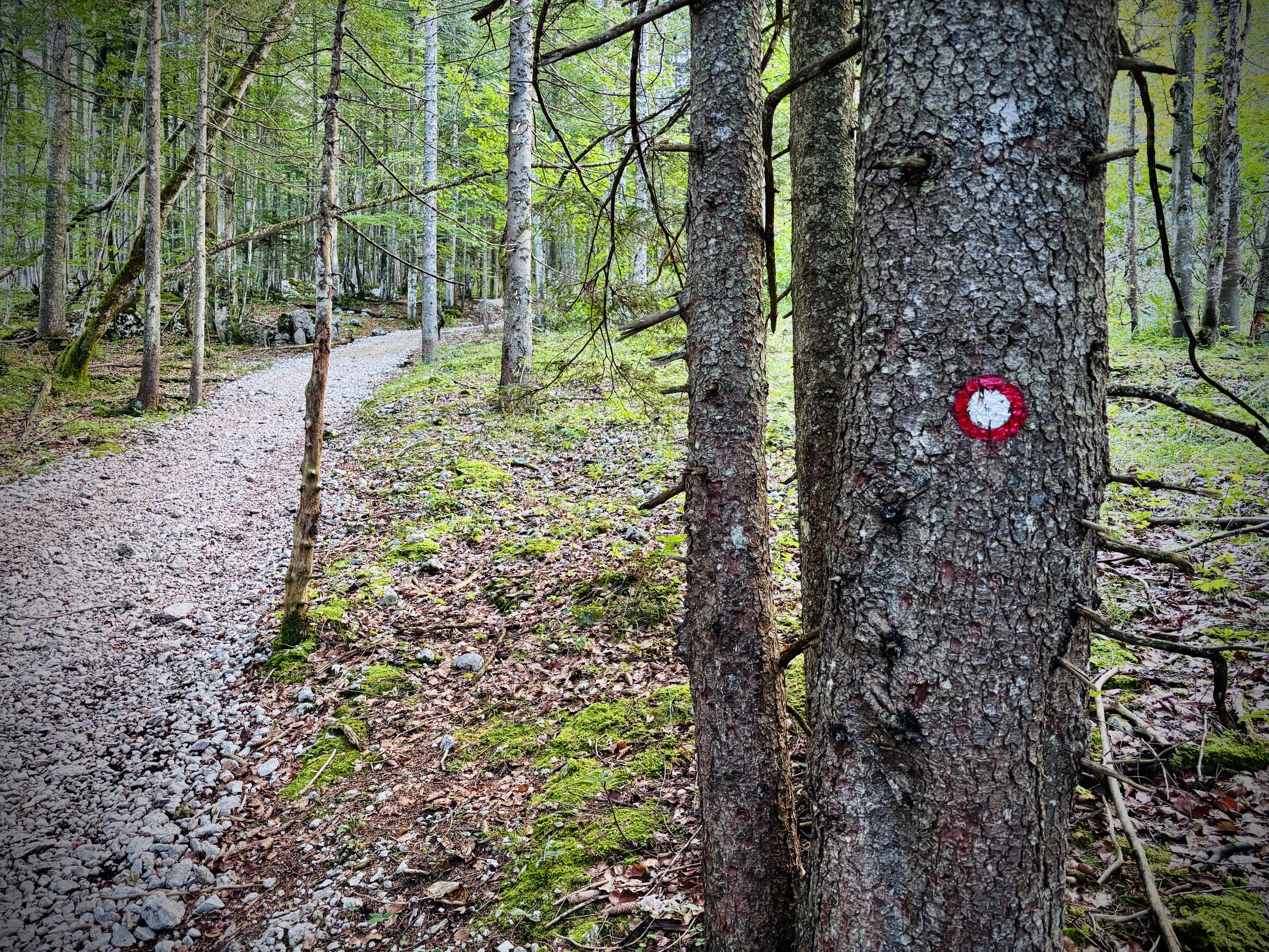
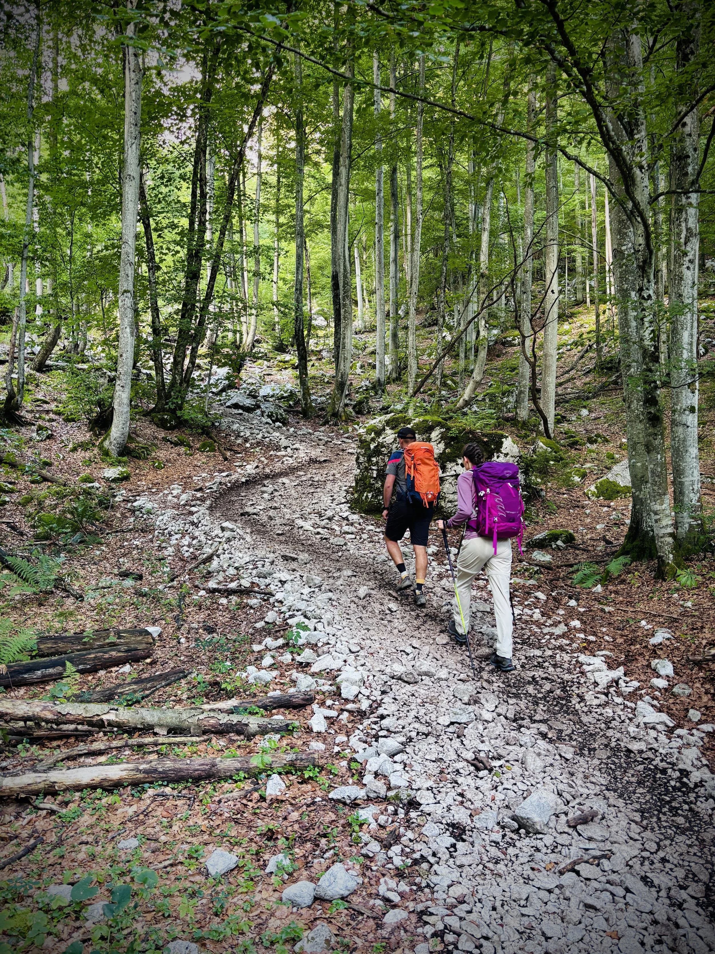
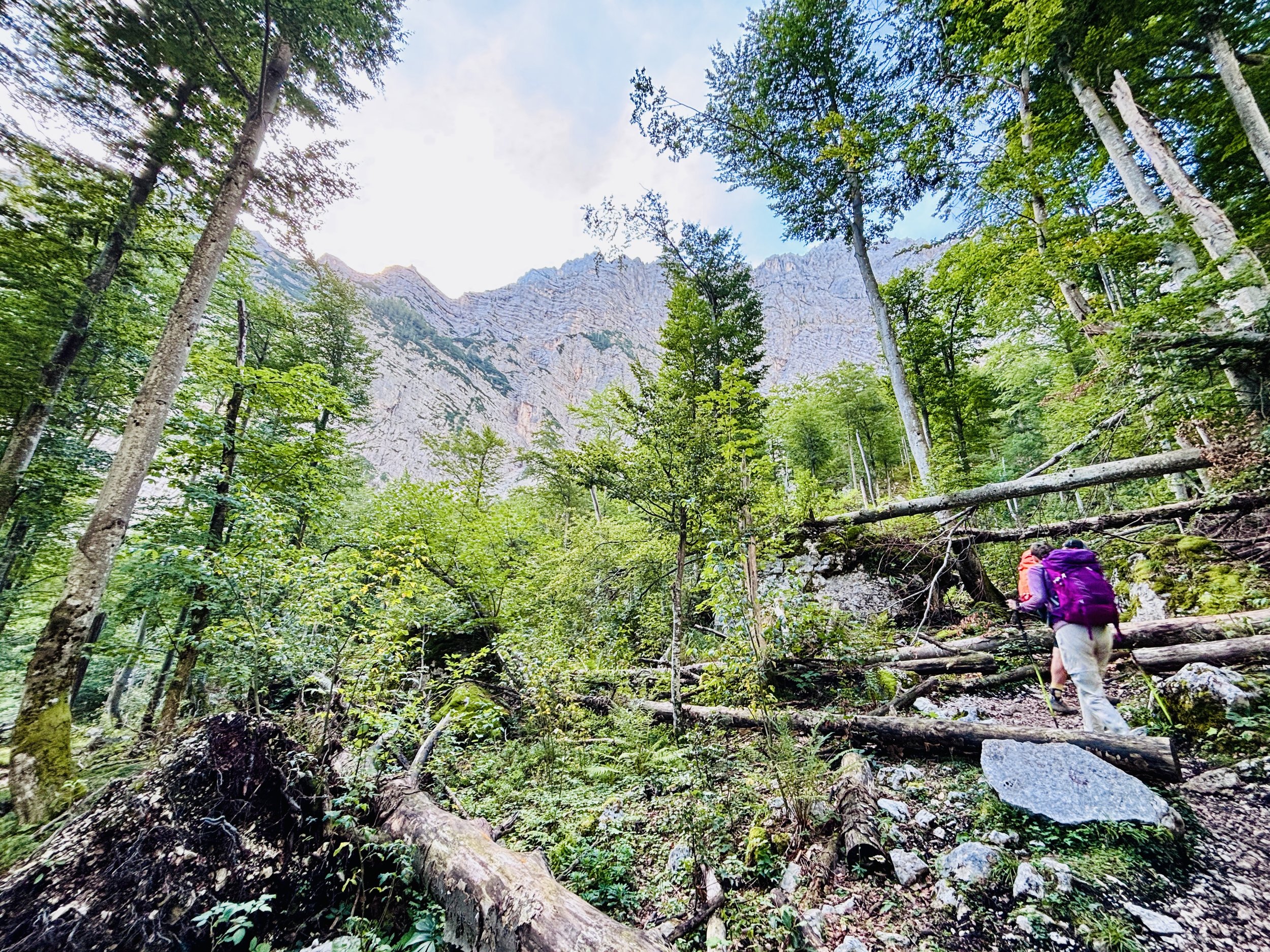
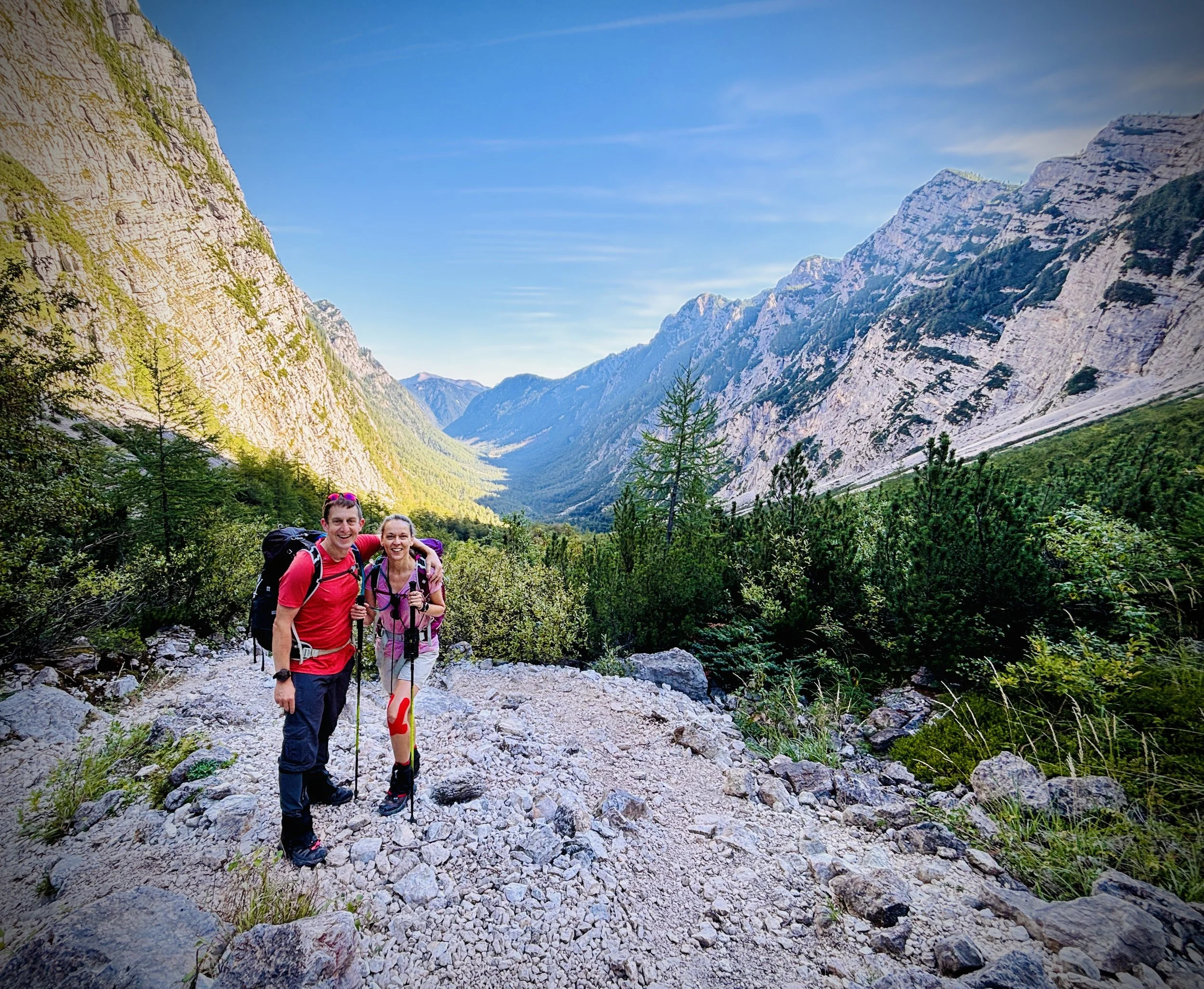
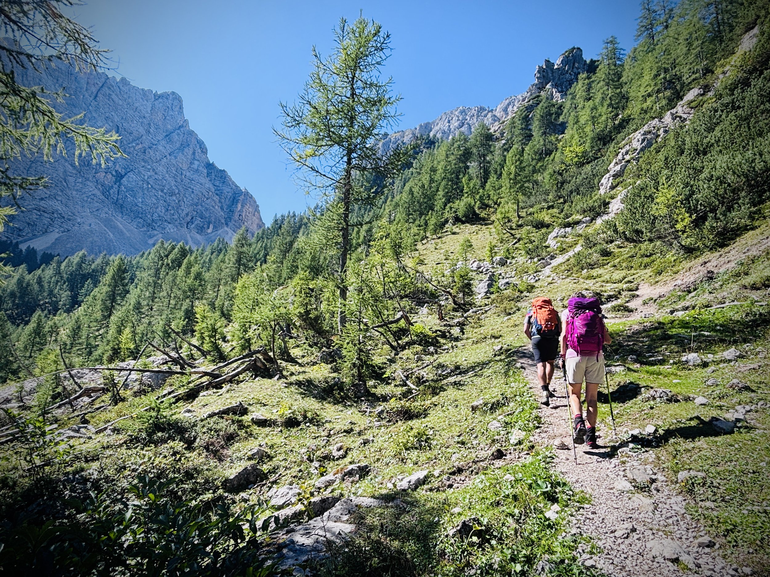
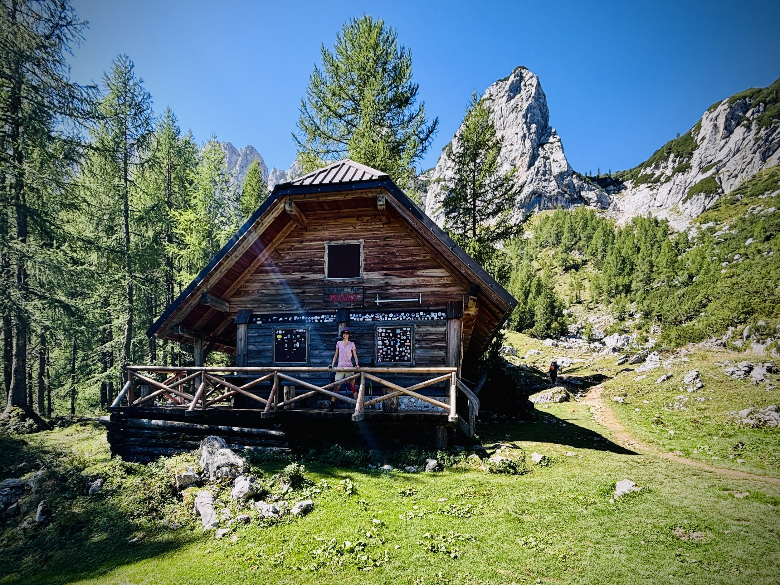
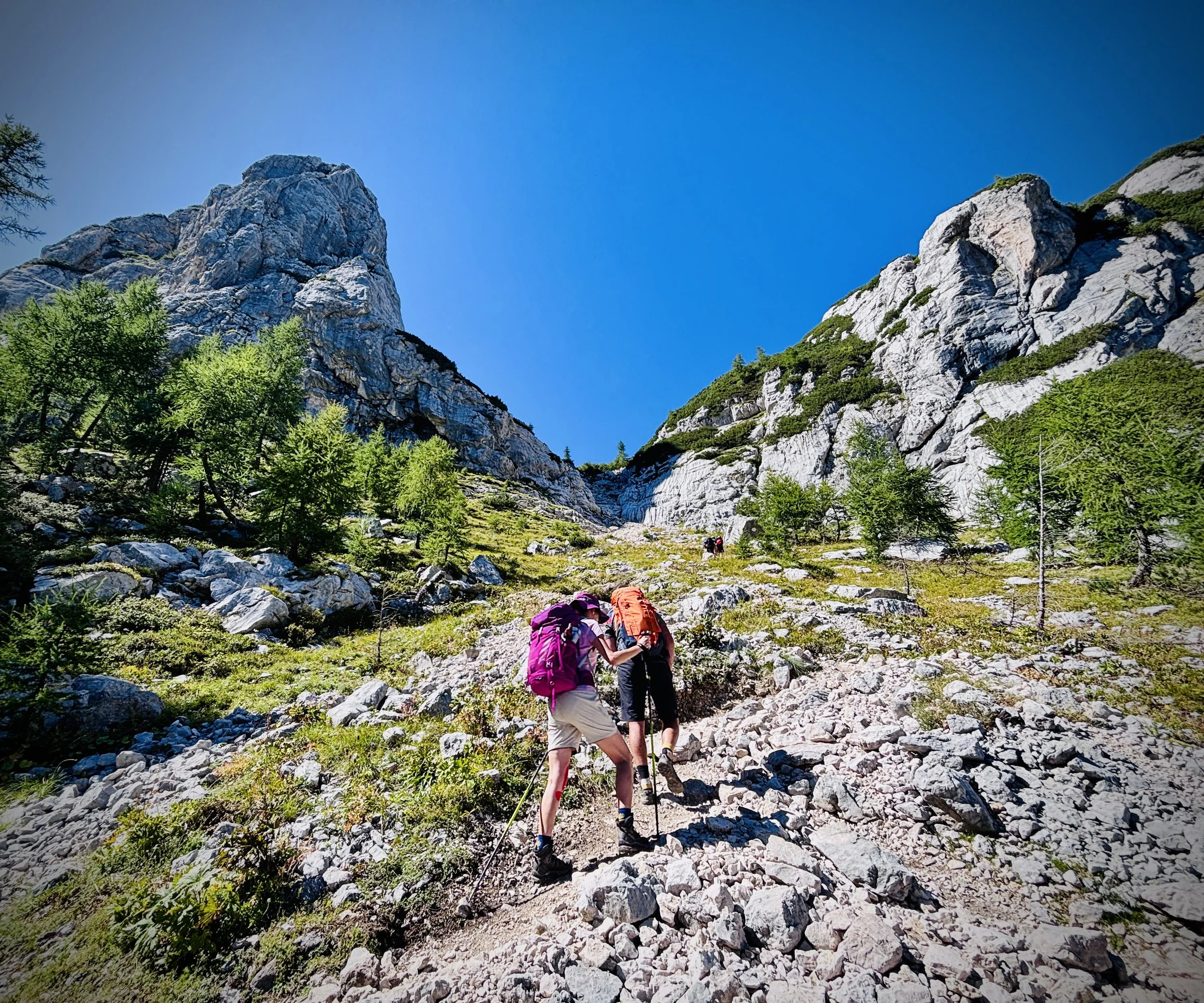
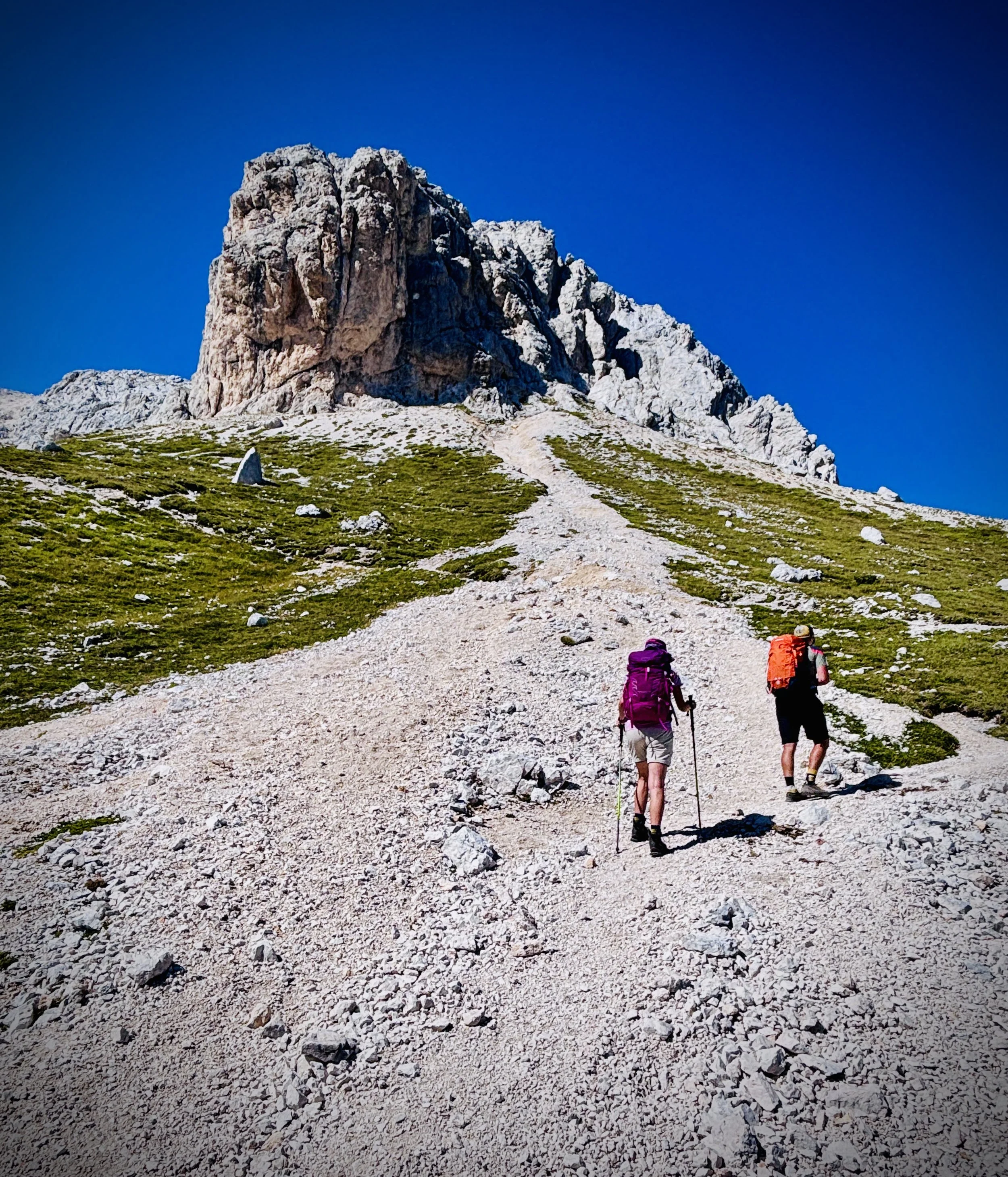
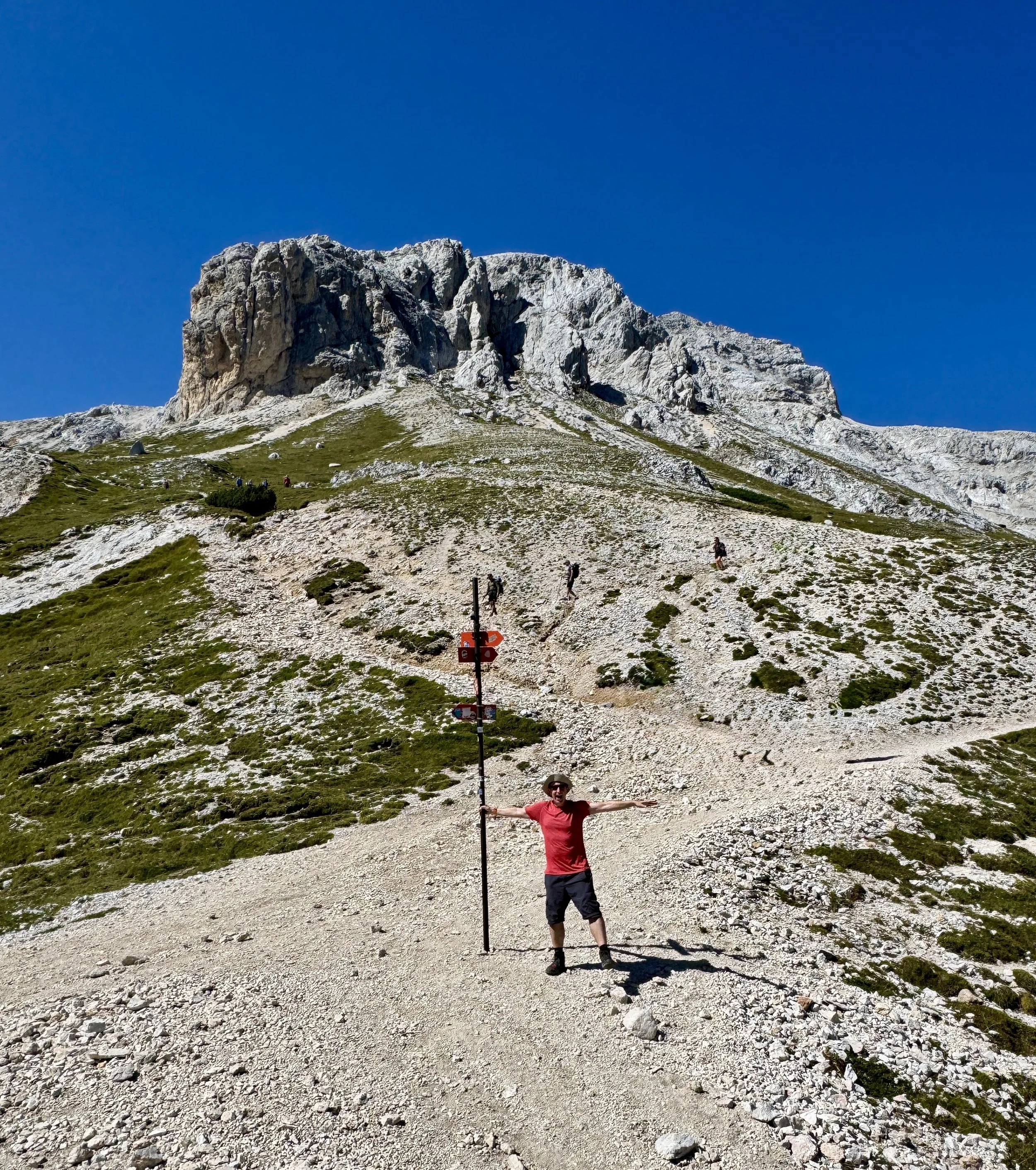
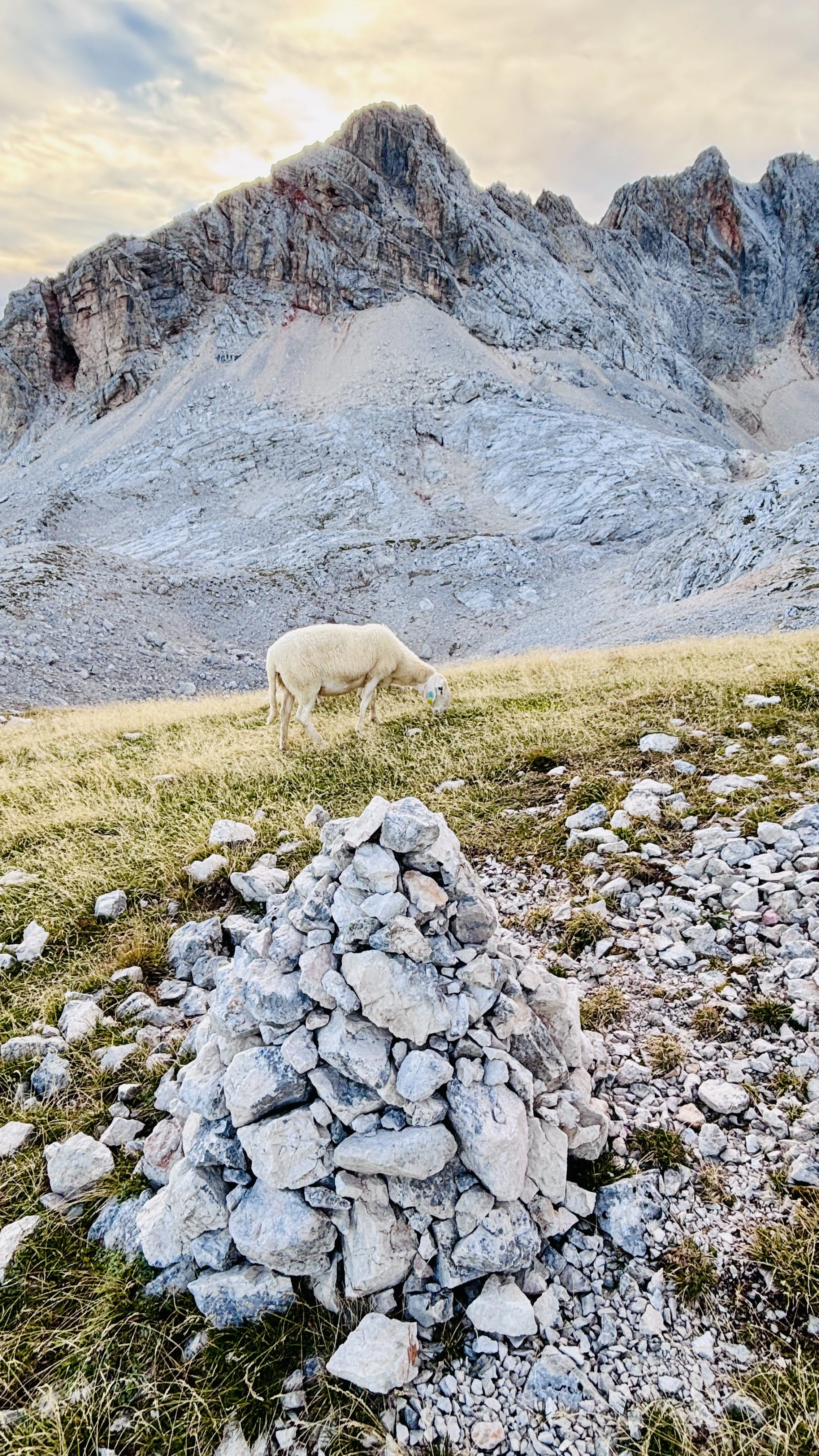
We parked the car at roughly 1,000 metres and started the climb. The valley looked spectacular all the way up, completely transforming as we gained altitude. It started with peaceful, shaded beech and spruce forests before opening up into vast alpine pastures. Eventually, as we pushed higher above the tree line, all the green disappeared completely, leaving us surrounded by a harsh, stark landscape of white limestone rock and loose alpine scree slopes.
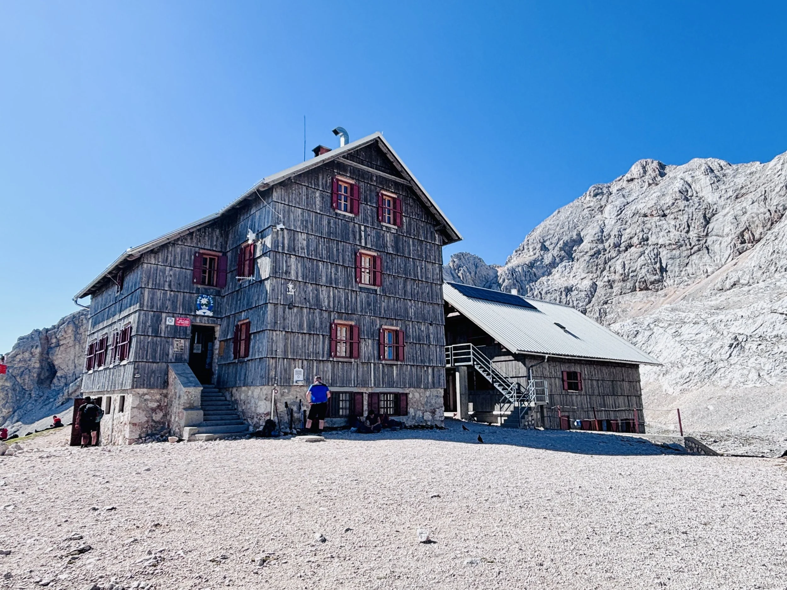
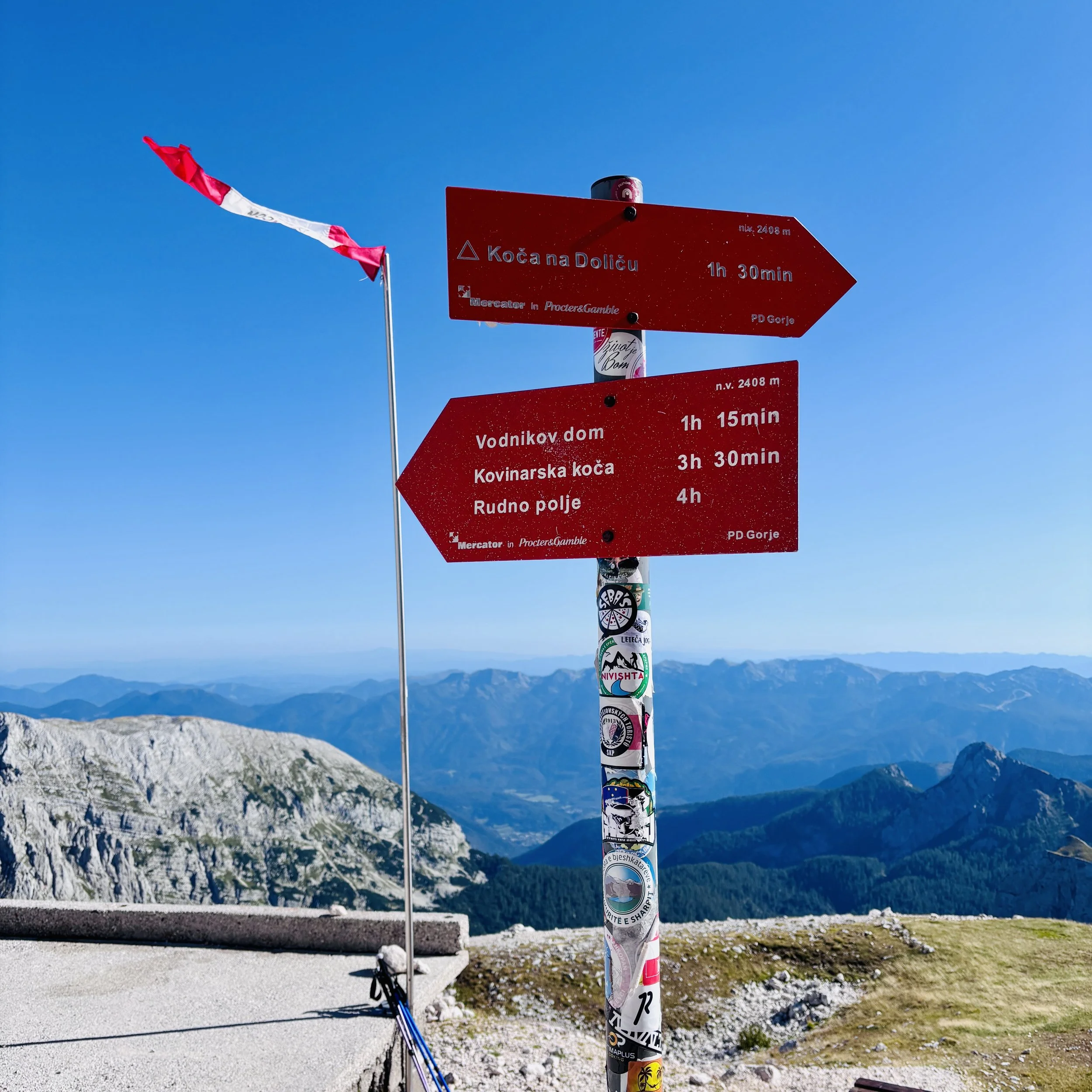
Though incredibly beautiful, the terrain was gruelling. It took us six hours to conquer the 8.7 kilometres and 1,400 metres of elevation to reach the Dom Planika rescue hut at 2,408 metres. Fun fact: "Planika" is actually the Slovenian translation for the edelweiss flower, which you can spot growing on the mountain!
Because the ascent took a little longer than we initially anticipated, we made the wise decision to rest for the afternoon instead of pushing straight for the summit. The hut is wonderfully remote. We were lucky enough to have booked a private twin room, which offered a nice bit of personal space to decompress, but the rest of the facilities are incredibly basic: just outside stinky toilets and absolutely no running water or electricity. (Conveniently, though, if you don't have your own gear, you can rent a via ferrata kit at the hut for €25 per person).
Despite the basic setup, we actually had a much better sleep here than we did on Mount Fuji. The lower elevation and having a private room meant we managed to get several hours of decent rest - a massive upgrade from the ten minutes of sleep I got on Fuji! The hut enforces a strict 22:00 noise curfew, which was highly necessary given a boisterous group of hikers who enthusiastically belted out John Denver’s "Country Roads, Take Me Home" right up until the exact minute of the cut-off.
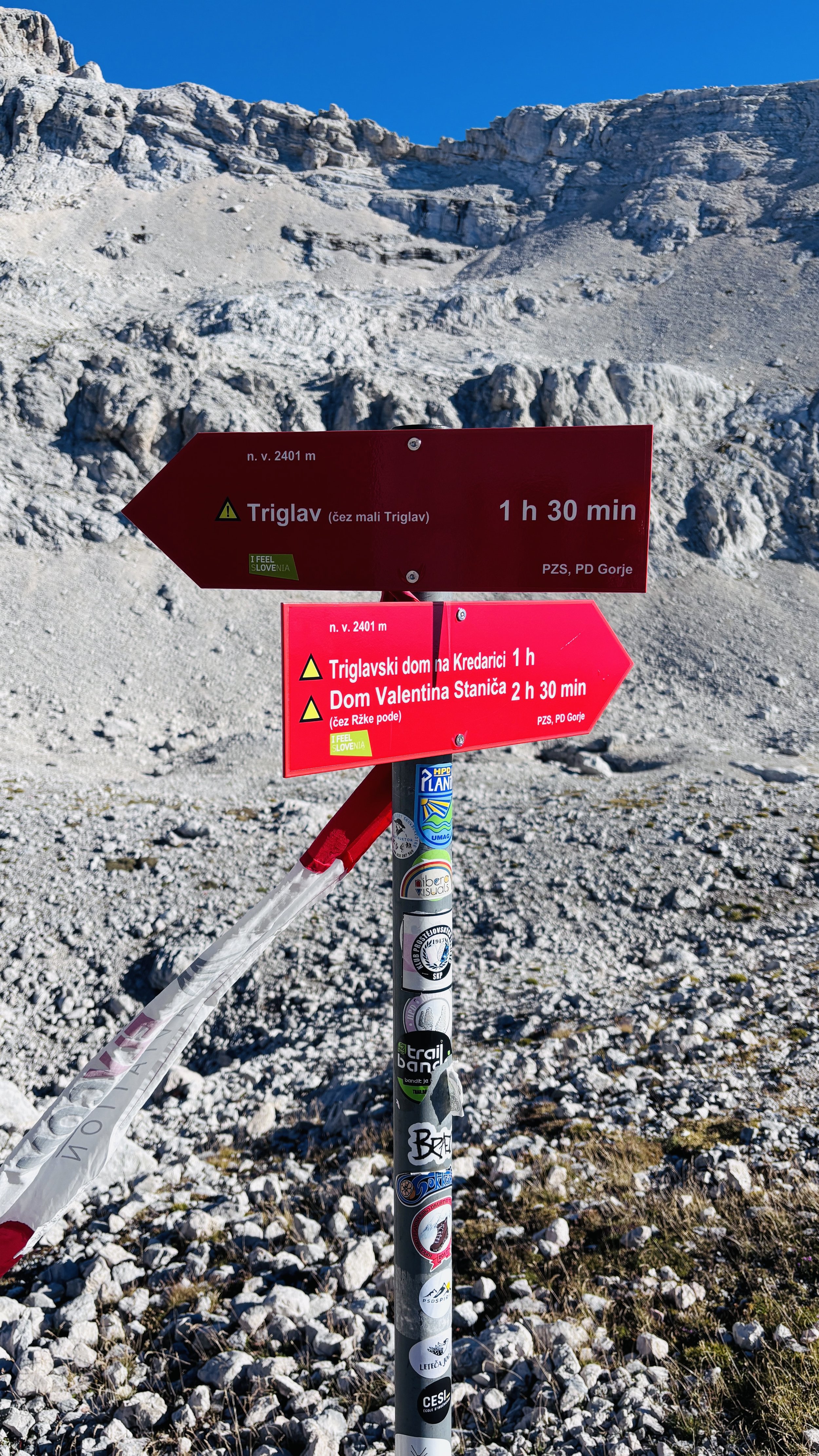
A quick tip for future hikers: in hindsight, there is another, larger refuge located just on the other side of Mali Triglav (Little Triglav). It has slightly better facilities and sits a bit closer to the start of the via ferrata. If we were to do this trek again, we’d probably look into booking a room there instead.
Day 2: Dom Planika Refuge to Summit and descent to Krma Valley
Date: September 8th 2026
Start: Dom Planika Refuge, Stara Fužina 243, 4265 Bohinjsko jezero
Finish: Car park at the end of the road in the Krma Valley (46°23'06.6"N 13°54'25.5"E)
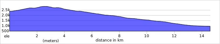
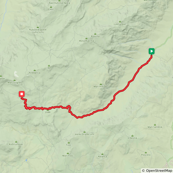
Distance: 14.6 km (9 miles)
Elevation change: +500m / -1,942m. Net -1,492m
GPX File: get via Buy Me a Coffee
Other Routes Touched: Slovenska planinska pot, JK11, JK10
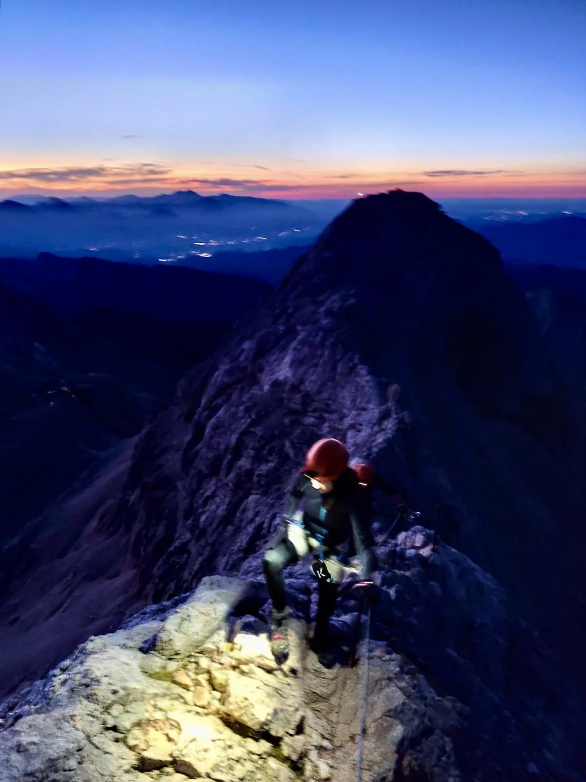
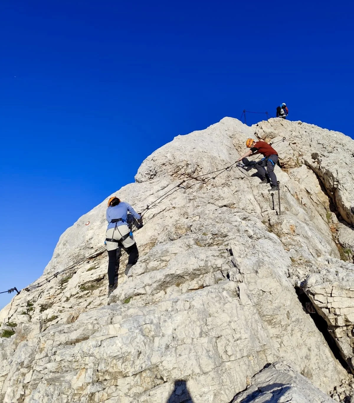
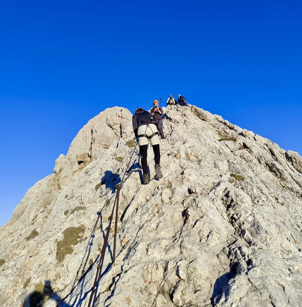
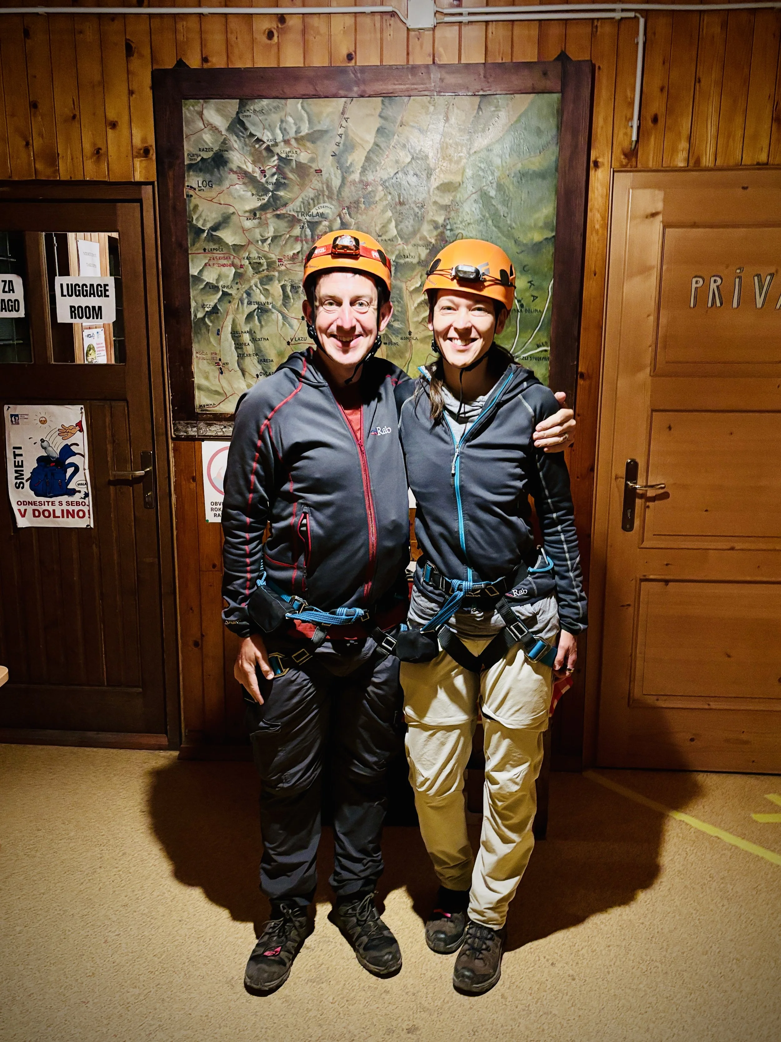
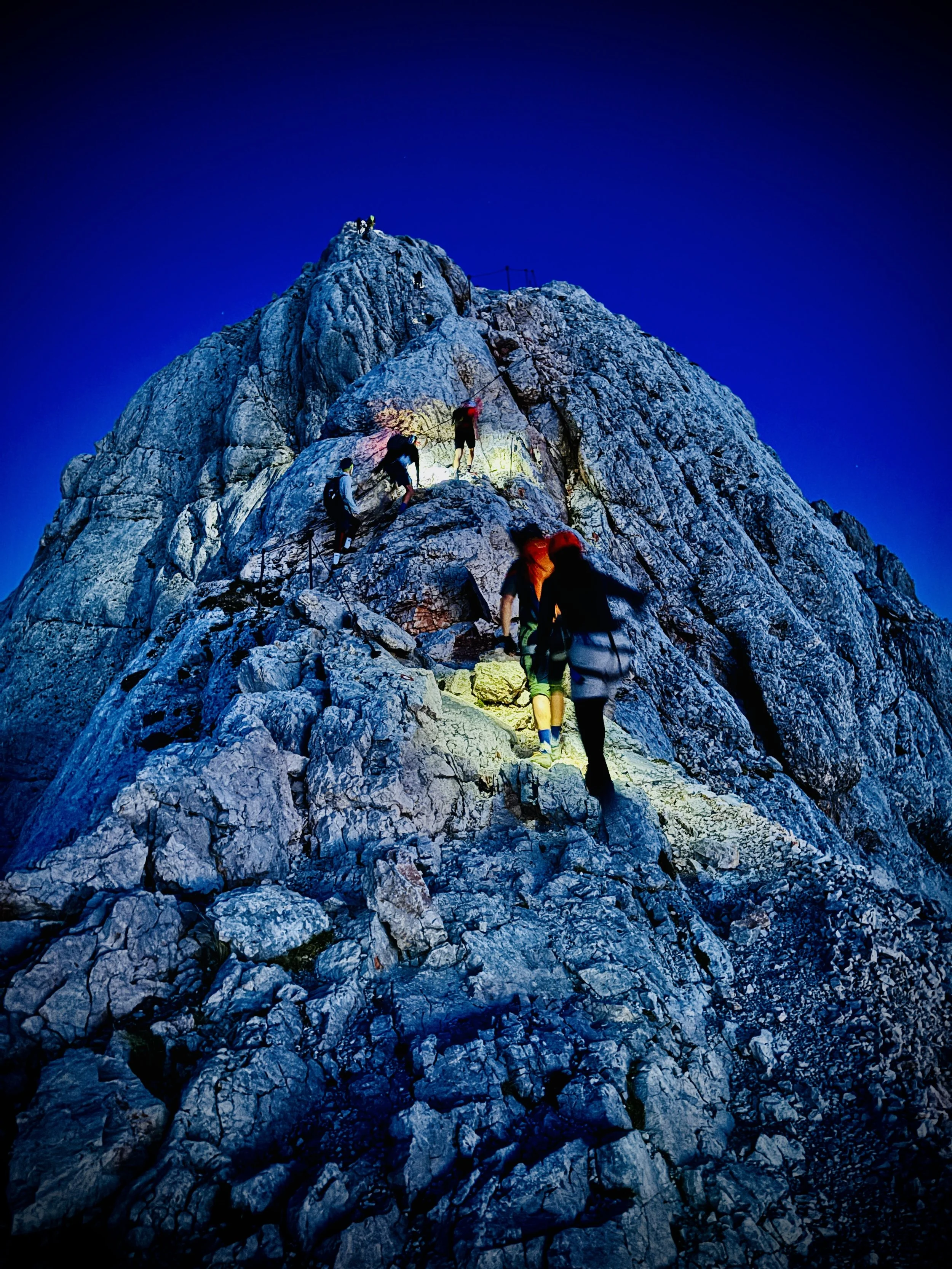
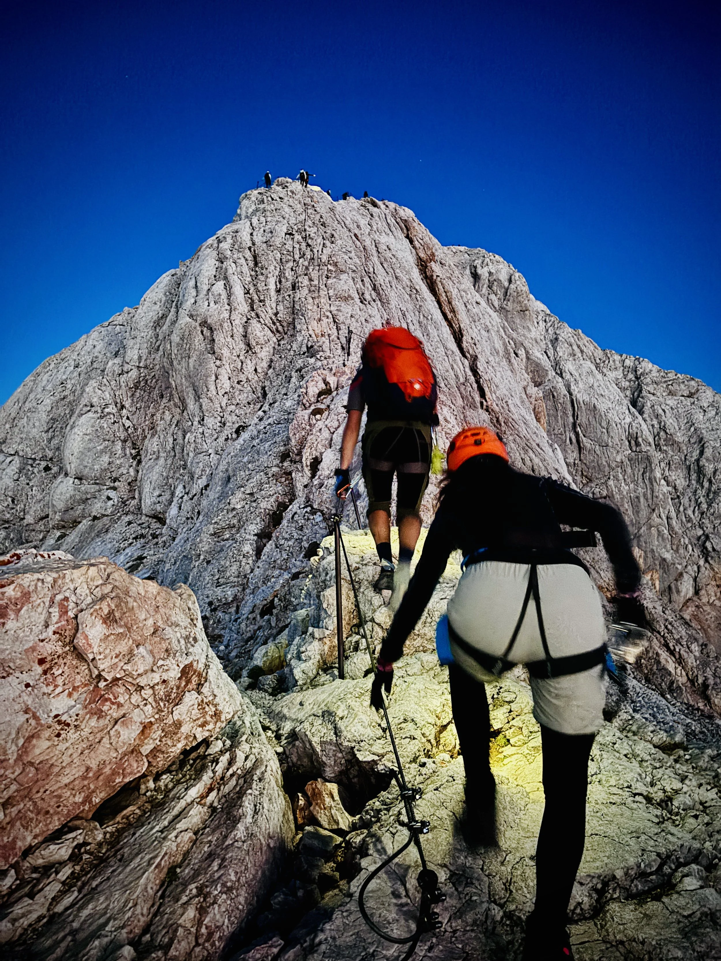
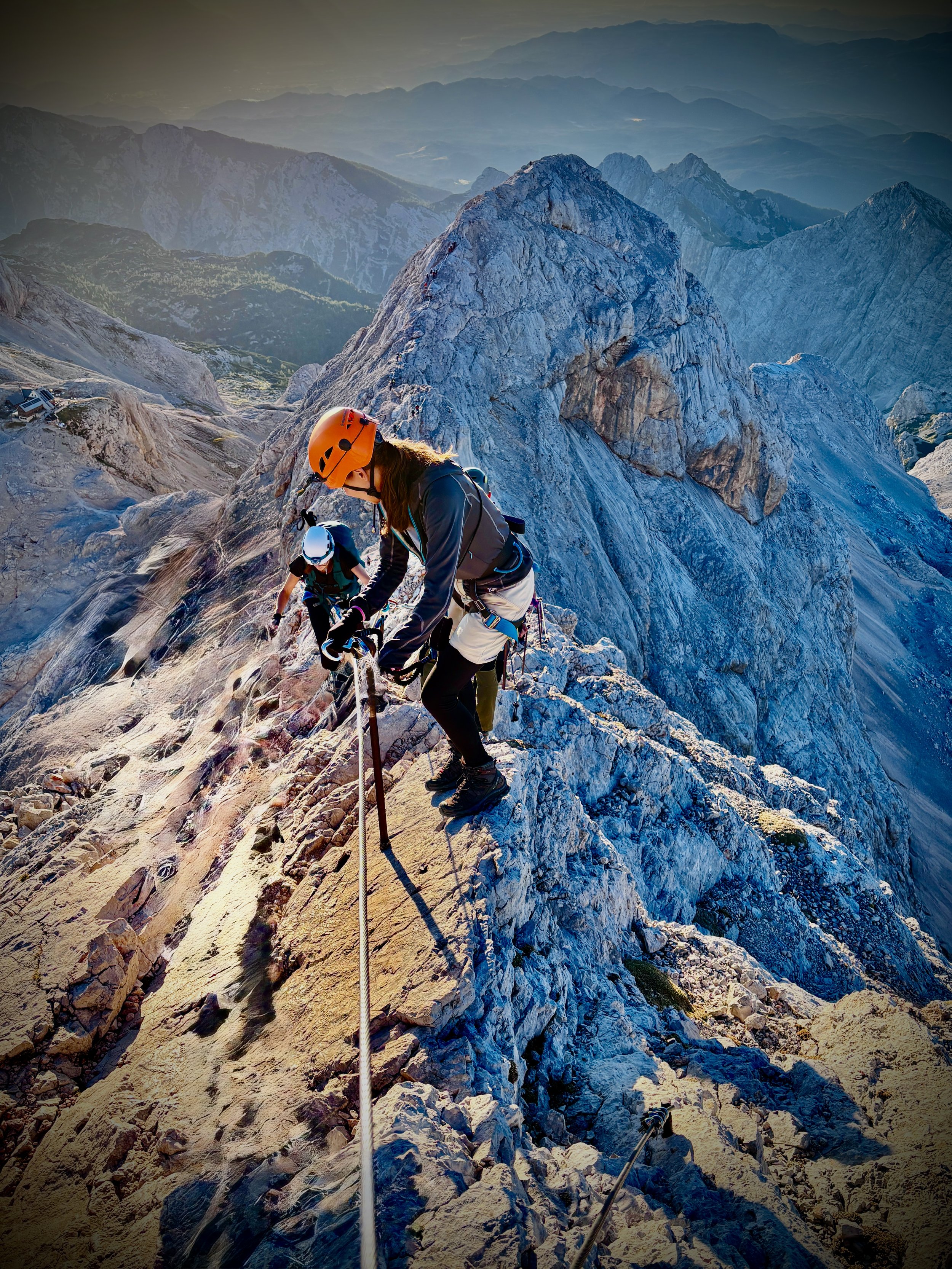
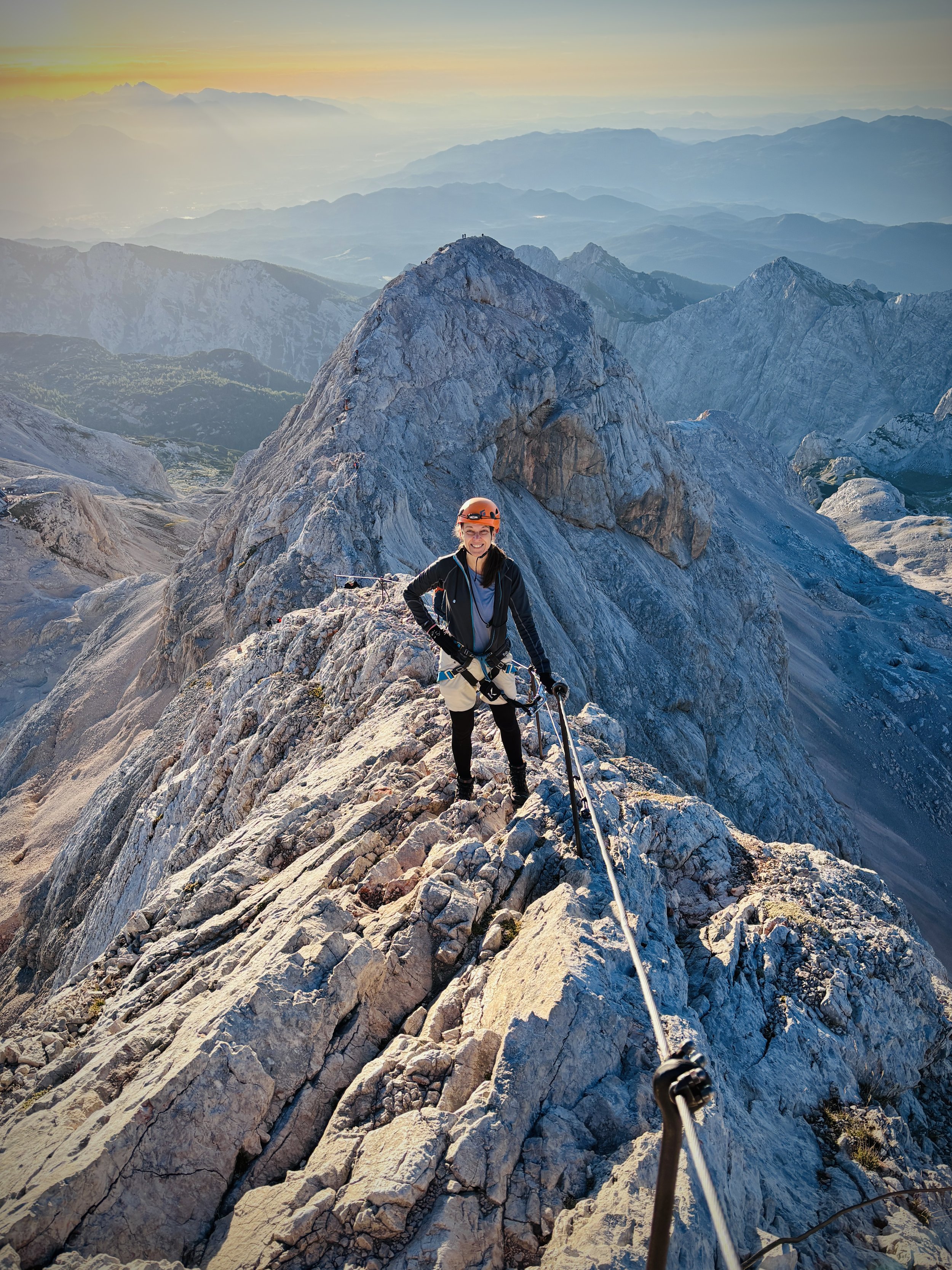
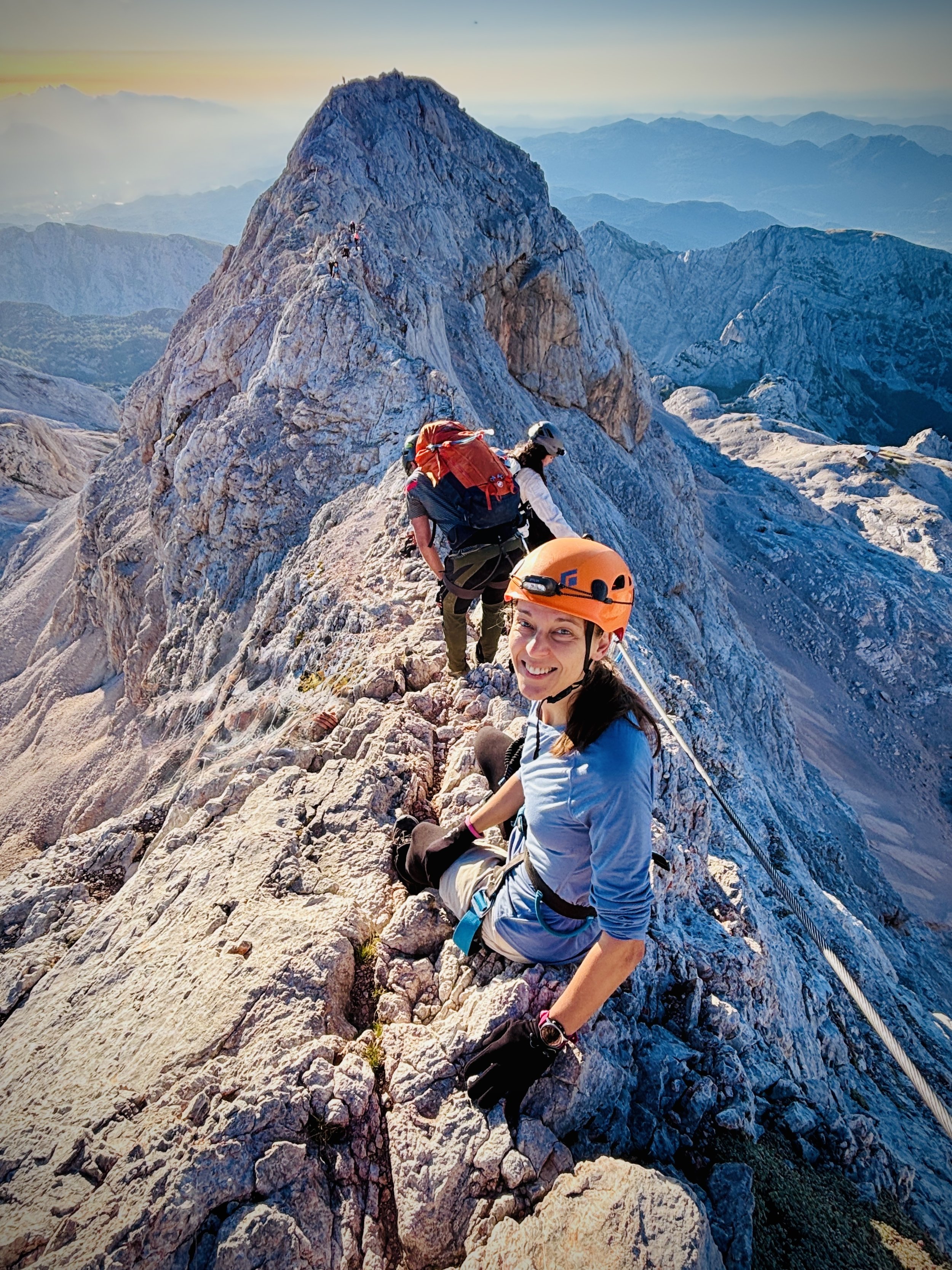
We were up and out the door by 4:15 am, kitted out with helmets, climbing harnesses, and via ferrata sets. You absolutely need the carabiners to clip onto the heavy steel cables for these final 400 metres, as the route becomes highly exposed with massive drops on either side. We had about two hours to tackle the remaining elevation before the 6:15 am sunrise. We were incredibly lucky with the weather: it was surprisingly warm with no wind.
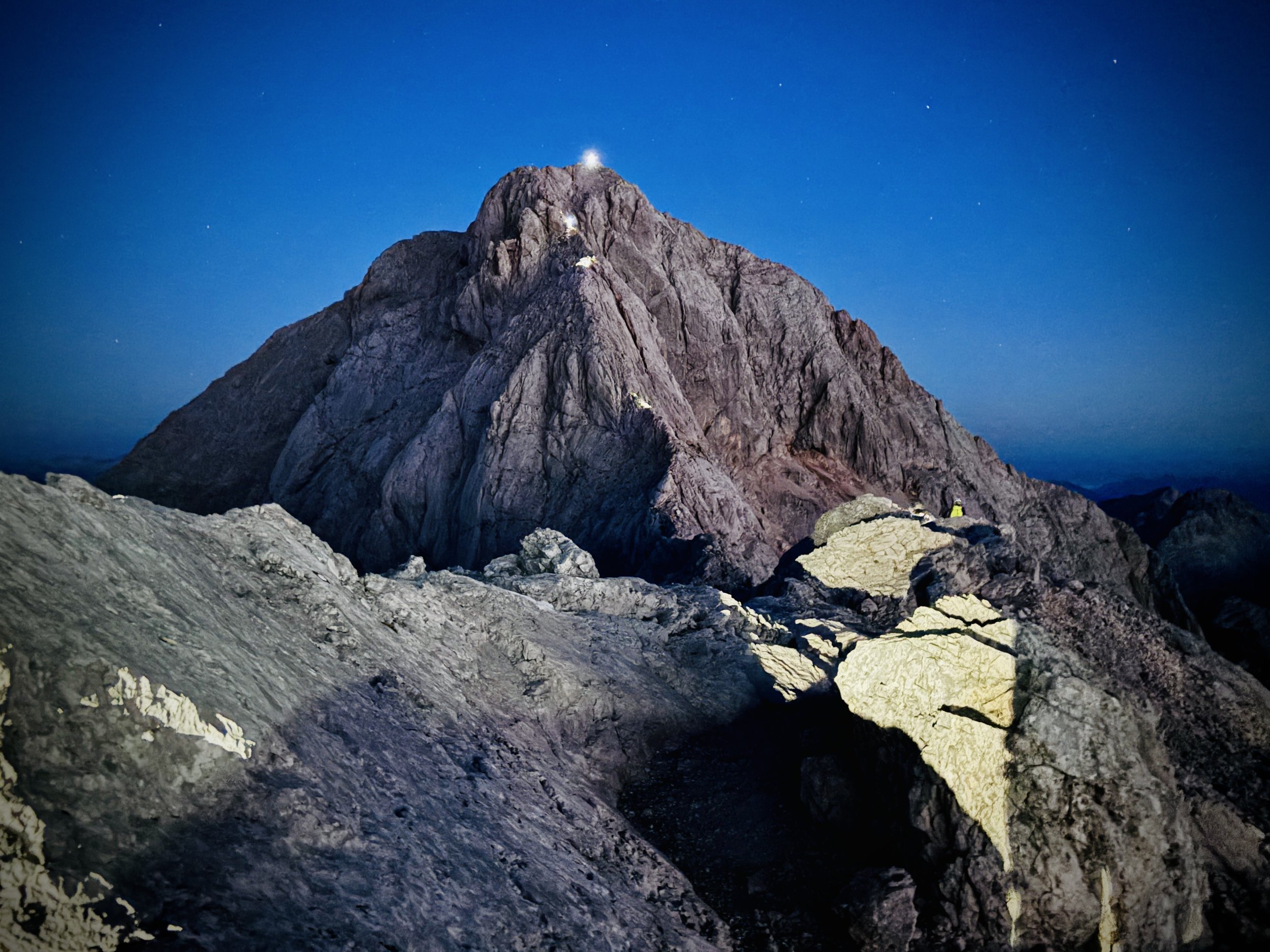
Honestly, it was probably for the best that we could only see as far as our torch beams during the first twenty minutes of scrambling, as it hid the sheer vertical drops around us. Just as the sky started to break, we reached the narrow pass where you have to clip onto the metal via ferrata wires. It looks terrifying in the dim light, but with the right gear and guidance, you are as safe as you can be on the side of a mountain.
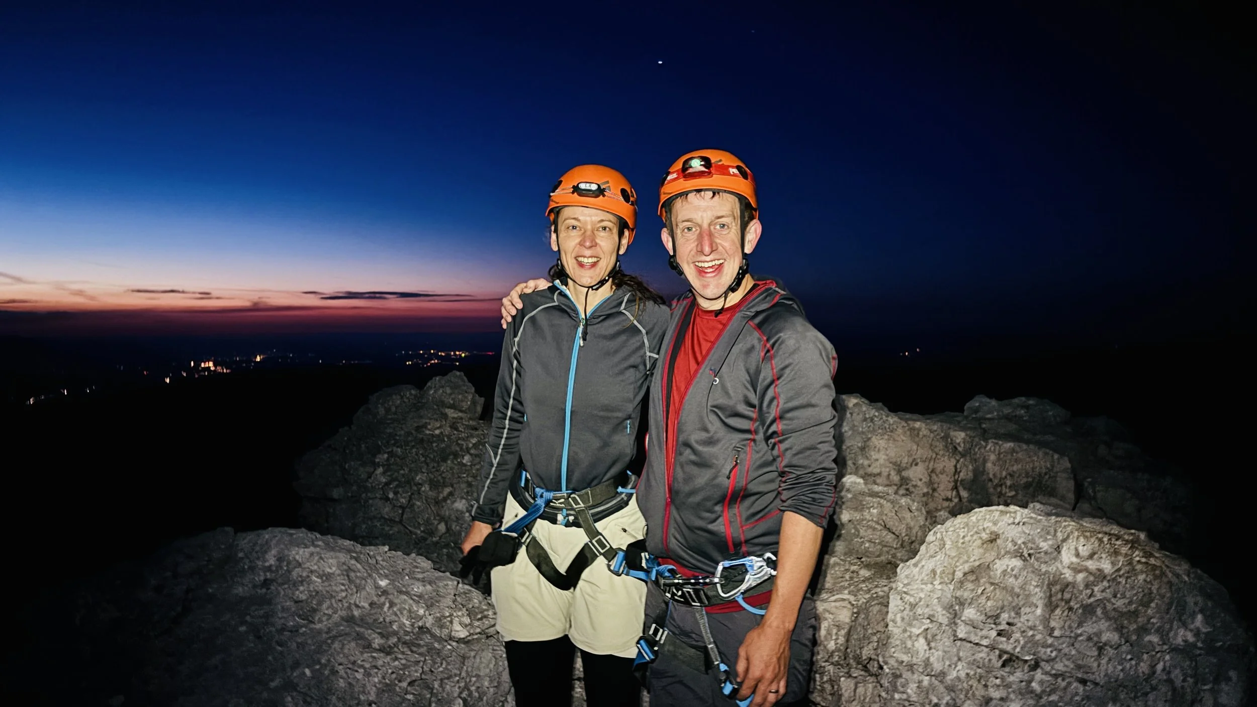
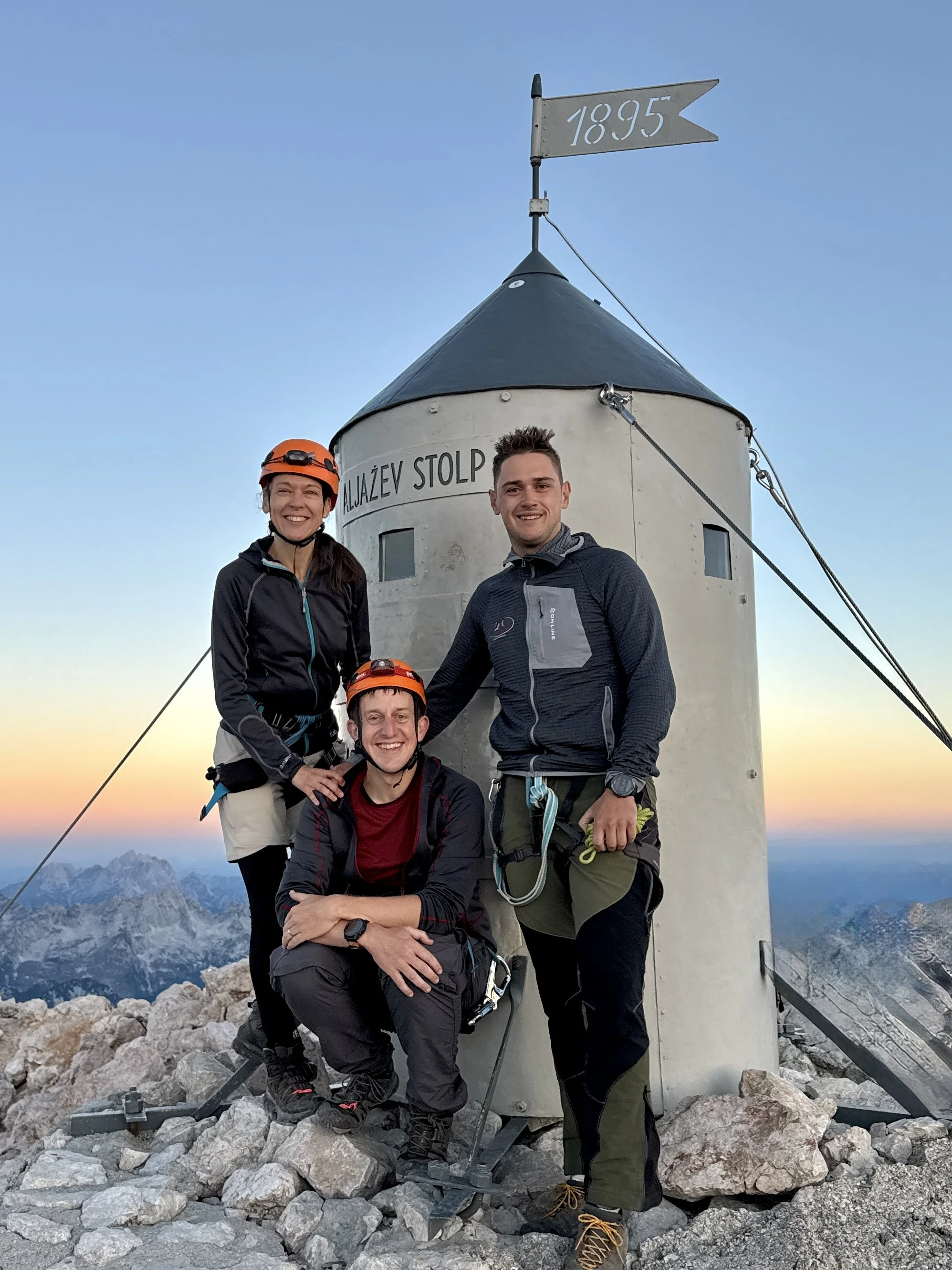
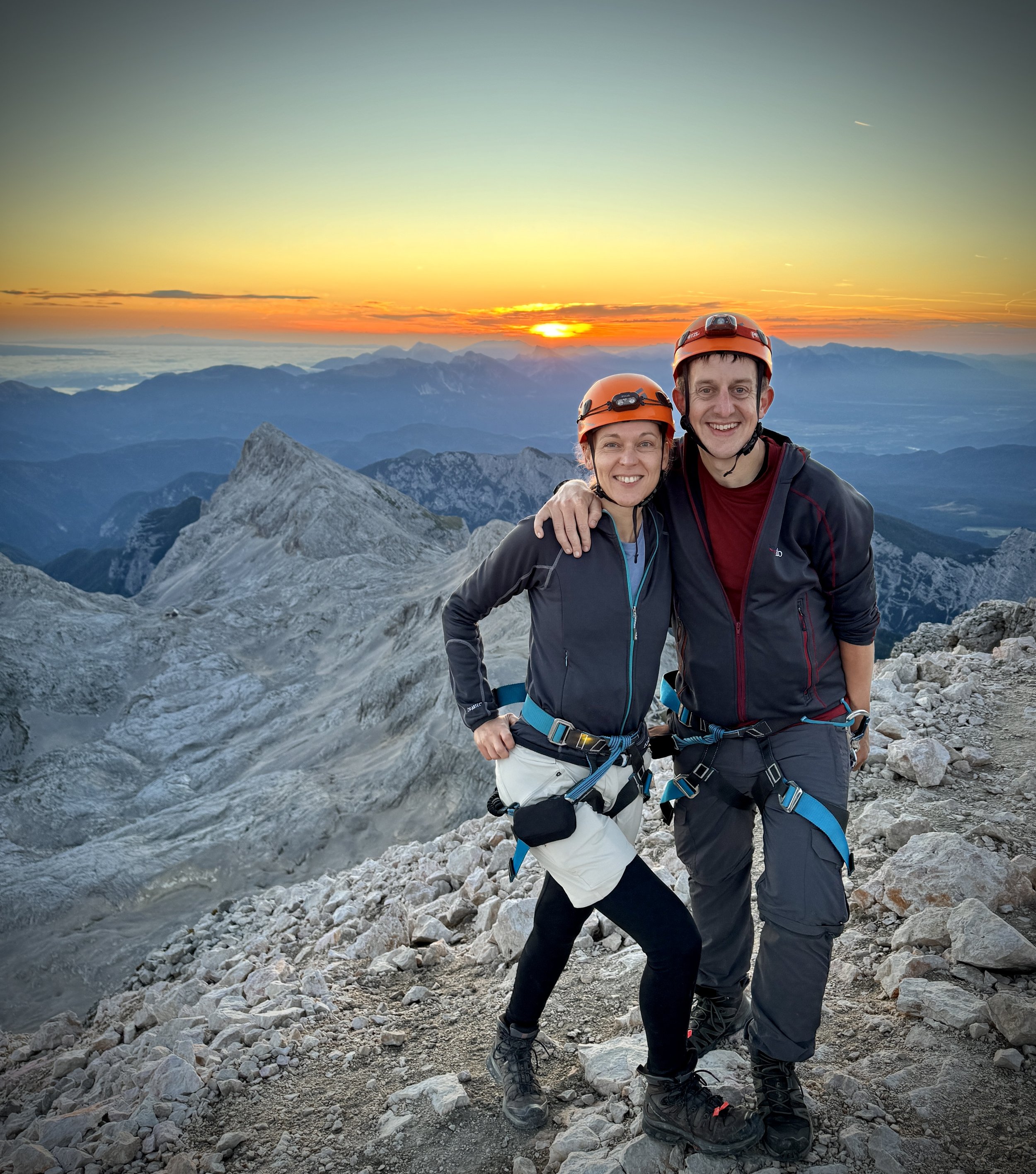
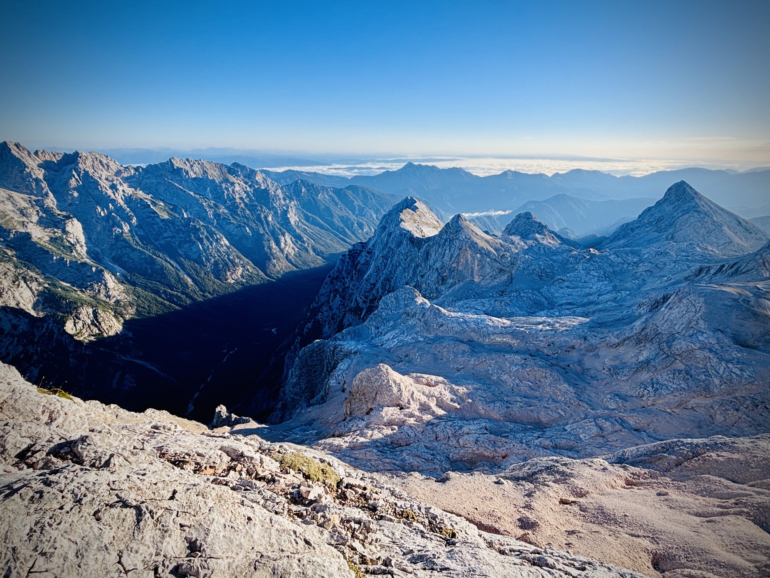
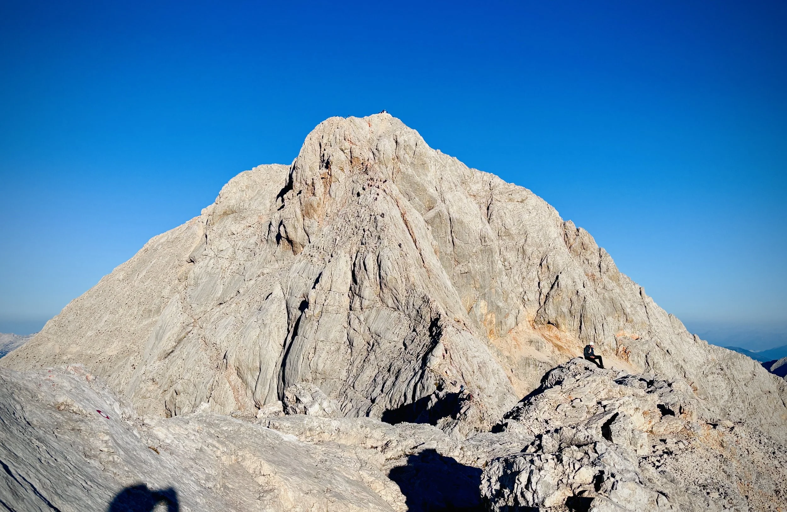
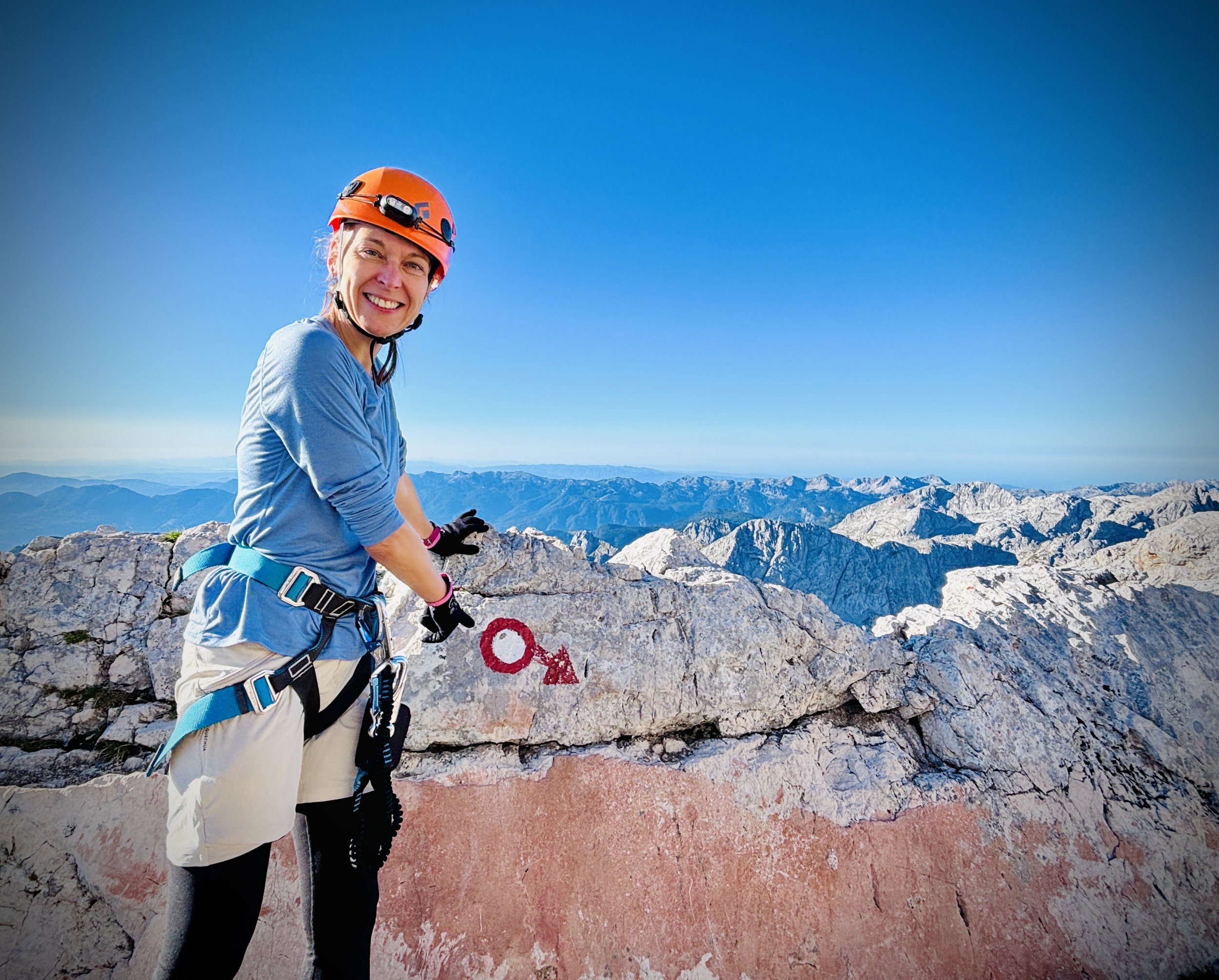
We reached the summit at exactly 2,864 metres. The views were out of this world, and watching the sunrise from the literal roof of Slovenia was breathtaking. On a clear day like the one we had, the panoramas stretch endlessly. We could look out across the jagged peaks of the Julian Alps, see the Italian Dolomites to the west, gaze south all the way to the Adriatic coast, and even spot the landscapes of Austria and Croatia in the distance.
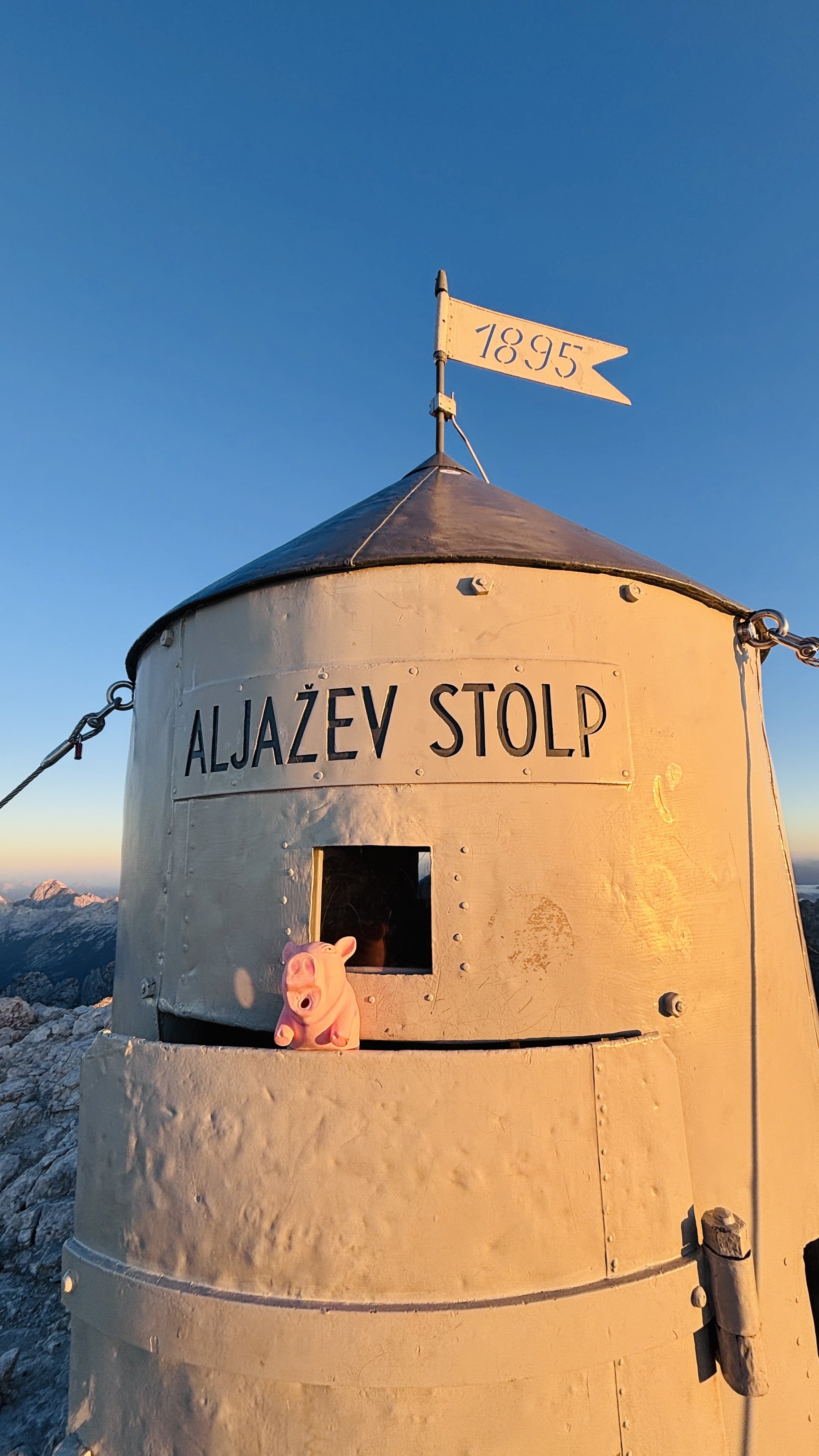
Sitting proudly at this very highest point is the Aljaž Tower, a cylindrical metal storm shelter that looks a bit like a tiny rocket ship. It has a fascinating history: it was erected back in 1895 by a local priest named Jakob Aljaž, who bought the summit for just one Austro-Hungarian gulden. He built the shelter specifically to preserve the mountain's Slovenian identity during a time of intense Germanization. Today, it stands as the ultimate symbol of Slovenian national pride.
Standing on those very peaks we'd seen on the national flag, beside this historic tower, we even received a traditional 'rite of passage' spanking from Jakob, which is apparently customary (and inescapable!) for everyone reaching the Triglav summit for the first time. There was a summit stamp available to collect too, which means I had a new mission to track down a Slovenian stamp collection passport.
The descent back down to the hut for breakfast was intense. It actually took us ten minutes longer than the climb up, mostly due to traffic from other climbers making their way up the via ferrata, which forces you to unclip and move slowly. It involved a lot of crab walking, sliding, and stepping backwards to find secure footholds. It is definitely not a route for the faint-hearted, but it was exhilarating, and Timea absolutely loved the rock climbing element; she used to be great at it and doing it in such an amazing environment was incredibly inspiring.
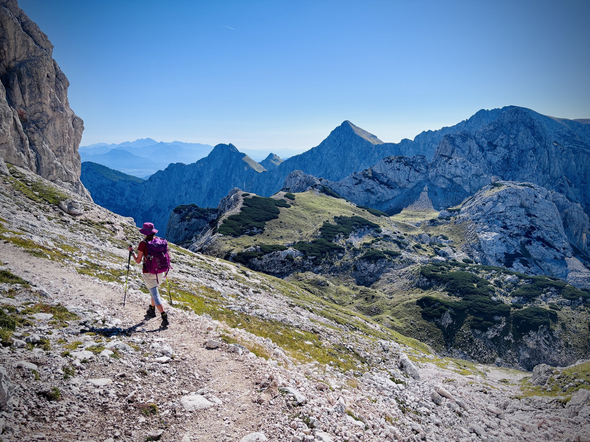
However, once we were past the adrenaline of the via ferrata, the long descent back to the car was brutal. Those final two hours were particularly tough on both of us. The ground itself wasn't highly technical, but navigating all that loose scree required careful, constant attention. Despite managing a few hours of sleep the night before, our bodies were completely drained by the challenge of the early morning summit. With our energy reserves depleted, we both really struggled to push through the sheer exhaustion at the very end.
Looking back, this was the second most challenging thing we have ever done, right behind Mount Fuji last year. The massive difference this time was that all the panchakarma retreat and strength training paid off: Timea's knee didn't hurt at all! Unlike on Fuji where she was relying on painkillers and could barely walk by the end, this time a knee brace and tape worked perfectly.
A massive thank you to our guide Jakob, who managed our routes, safety, equipment, mental health, and even drove us there and back. It was an unforgettable adventure.