Walking The Midshires Way Part 8: Quainton and Botolph Claydon
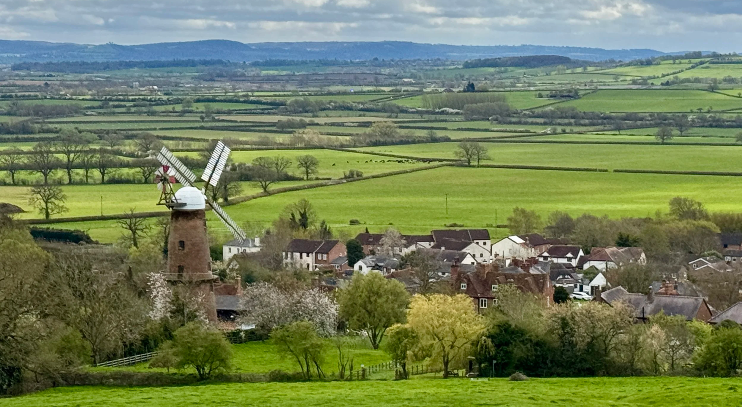
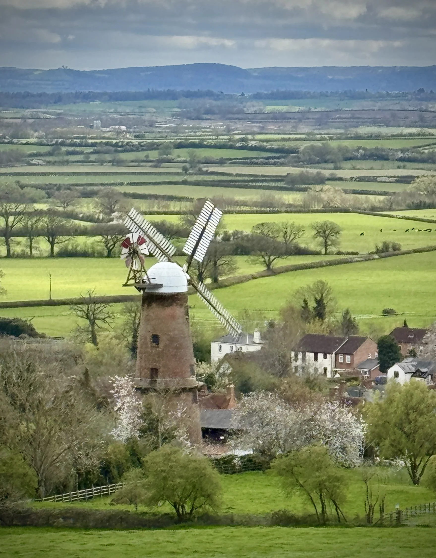
View over Quainton from the Quainton Beacon
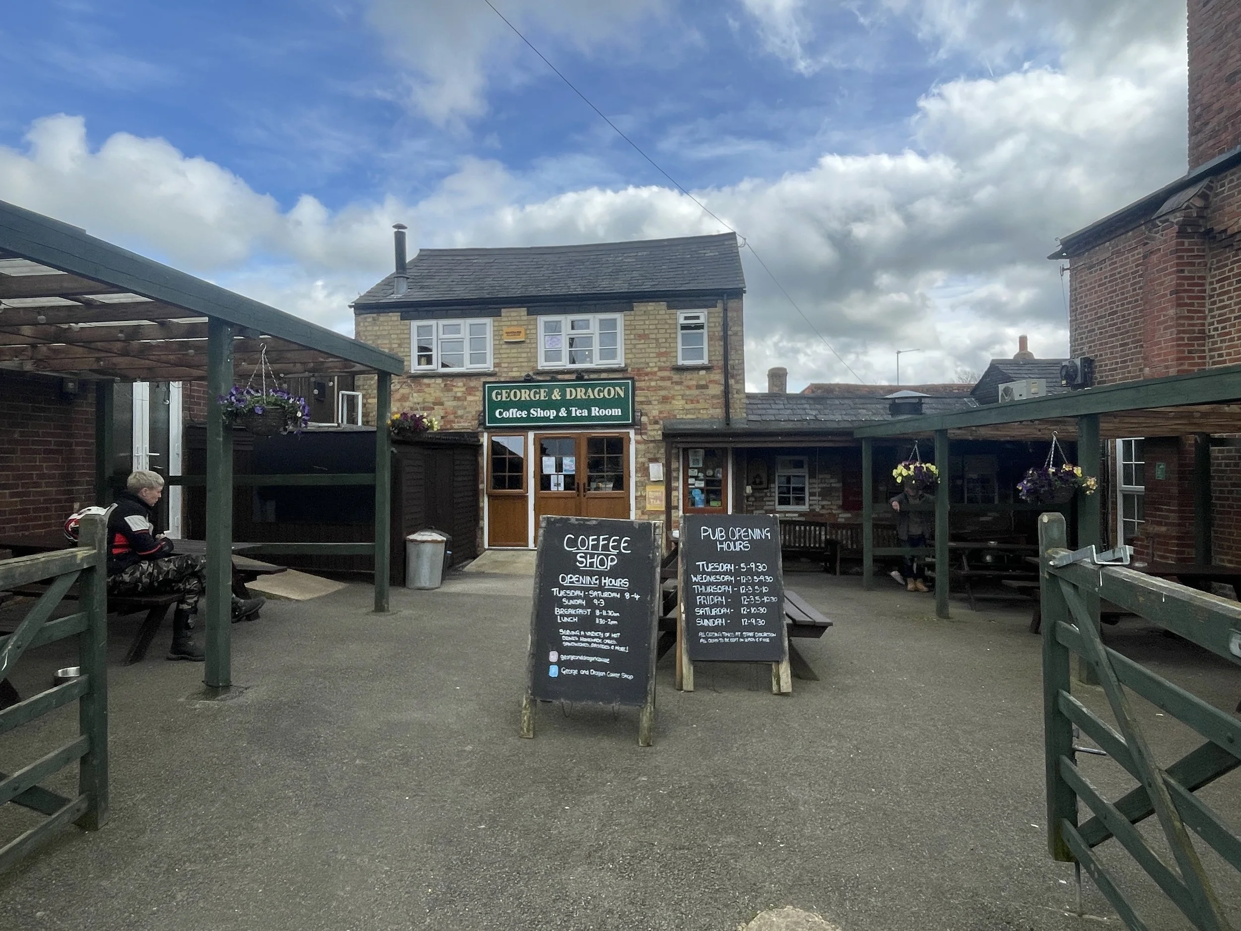
Start & Finish: George and Dragon pub, 32 The Green, Quainton, Aylesbury HP22 4AR
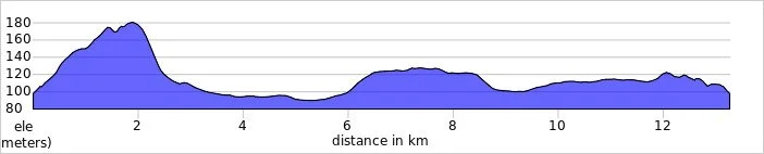
Distance: 13.2 km (8.2 miles)
Elevation change: +/- 144m
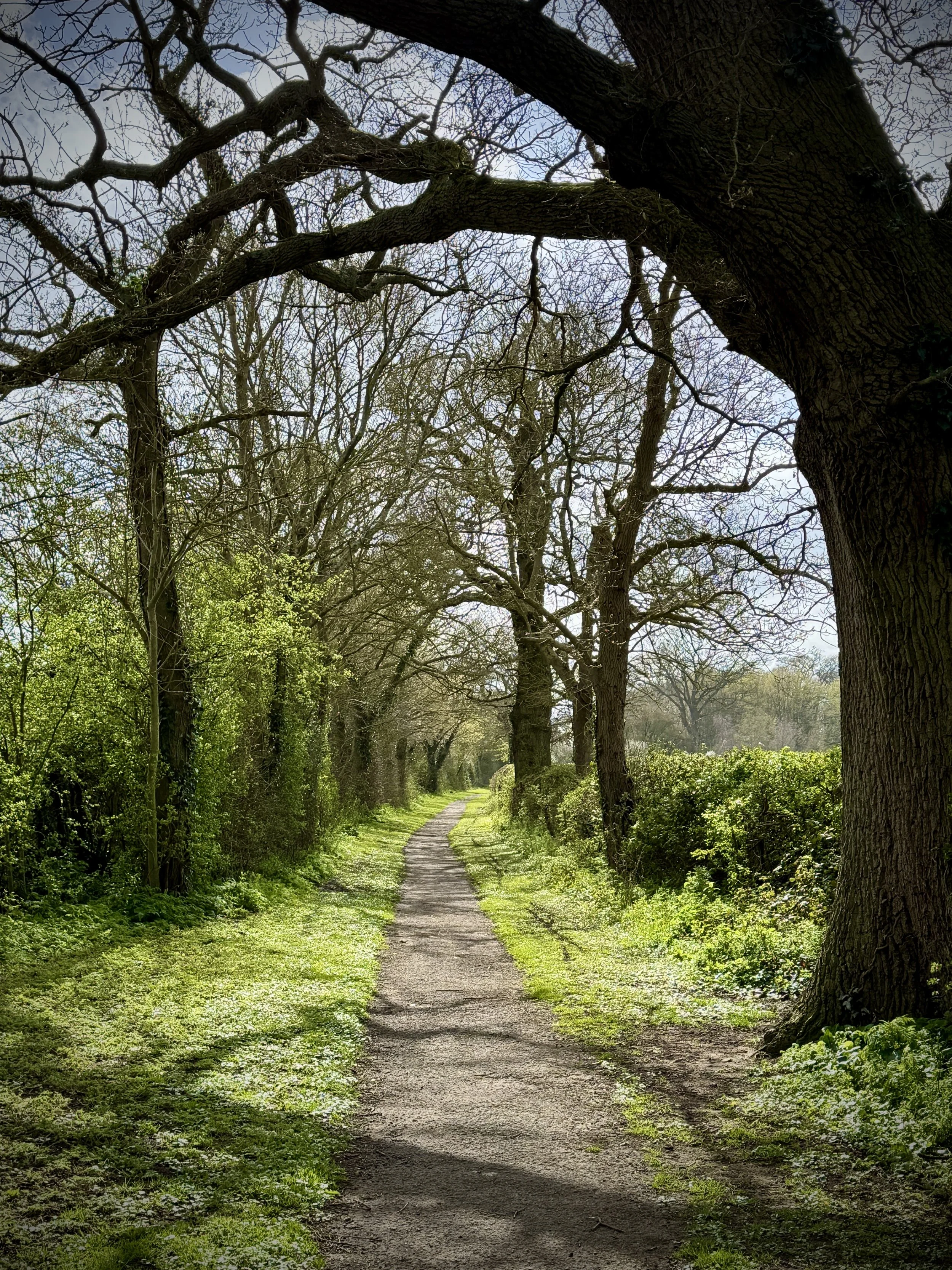
Terrain: The route predominantly follows public bridleways and quiet country lanes, with some muddy sections likely after heavy rain.
Midshires Way section covered: Quainton to East Claydon: 6.7 km
GPX File: get via Buy Me a Coffee
Other routes touched (walk): Midshires Way, The Swan Way, North Bucks Way, Outer Aylesbury Ring, Bernwood Jubilee Way
Other routes touched (cycle): None
Pubs / Cafes on route: The George & Dragon, Quainton (at the start and end), Cafe at Hogshaw Farm and Wildlife Park (just off route at 9.7 km in)
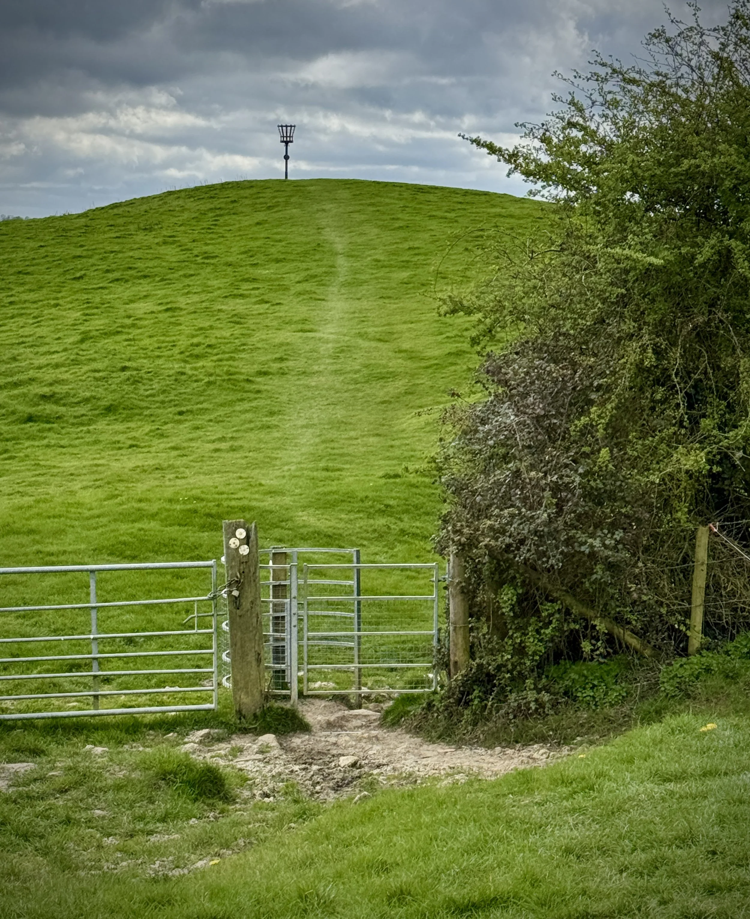
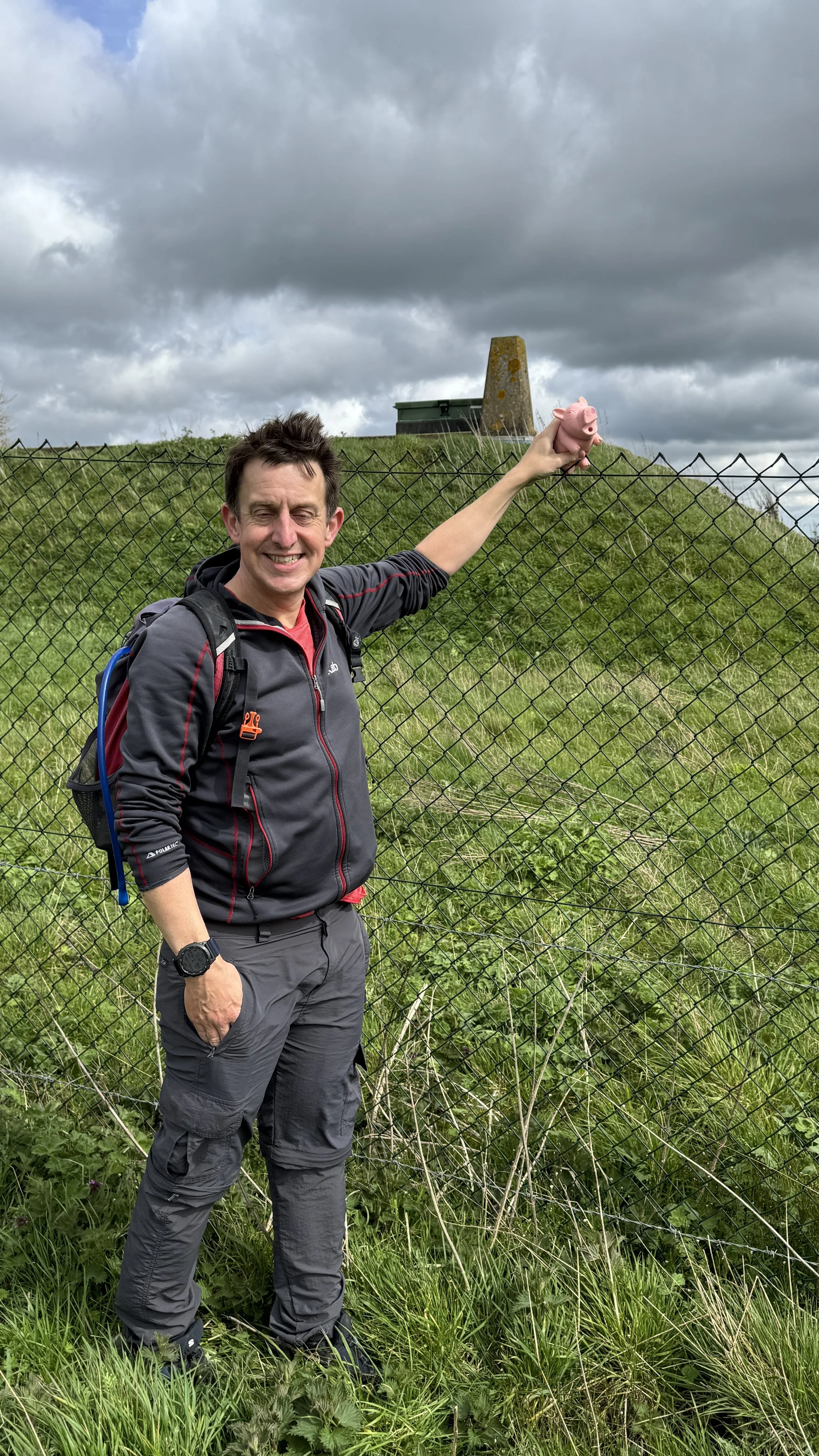
OS Trig Pillar: TP5550 - Quainton Resr
Map: Buckingham & Milton Keynes Map | Leighton Buzzard & Woburn | Ordnance Survey | OS Explorer Map 192
Links: Quainton, East Claydon, Botolph Claydon
This is part of a series of short circular walks following the length of the Midshires Way in Buckinghamshire. The Midshires Way is a 225-mile (362 km) trail that journeys through the rural heart of Middle England, linking the Ridgeway National Trail at Bledlow in the south to the Trans Pennine Trail at Stockport in the north. Opened in 1994, this route traverses several counties, including Buckinghamshire, Northamptonshire, Leicestershire, Nottinghamshire, Derbyshire, and Greater Manchester, following a scenic tapestry of ancient bridleways, quiet country lanes, and historic canals. In Buckinghamshire, the Midshires Way has a significant connection with the Swan's Way (often referred to as the Swan Way), a 65-mile long-distance bridleway. Essentially, the Swan's Way forms the backbone of the Buckinghamshire section of the Midshires Way, with the two routes being broadly coincident for approximately 50 miles between Salcey Forest and Bledlow. While the Swan's Way strictly adheres to bridleways to accommodate horse riders and cyclists, the Midshires Way sometimes offers alternative waymarked footpaths for walkers to avoid on-road sections.
Walking Directions
This section of the Midshires Way offers a fantastic circular route through the heart of the Buckinghamshire countryside. Starting in the village of Quainton, the path almost immediately asks you to conquer Quainton Hill, where the elevation climbs from 98 metres to over 180 metres. It is a steady ascent that rewards walkers with sweeping views of the surrounding area before the path levels out and begins a gentle descent.
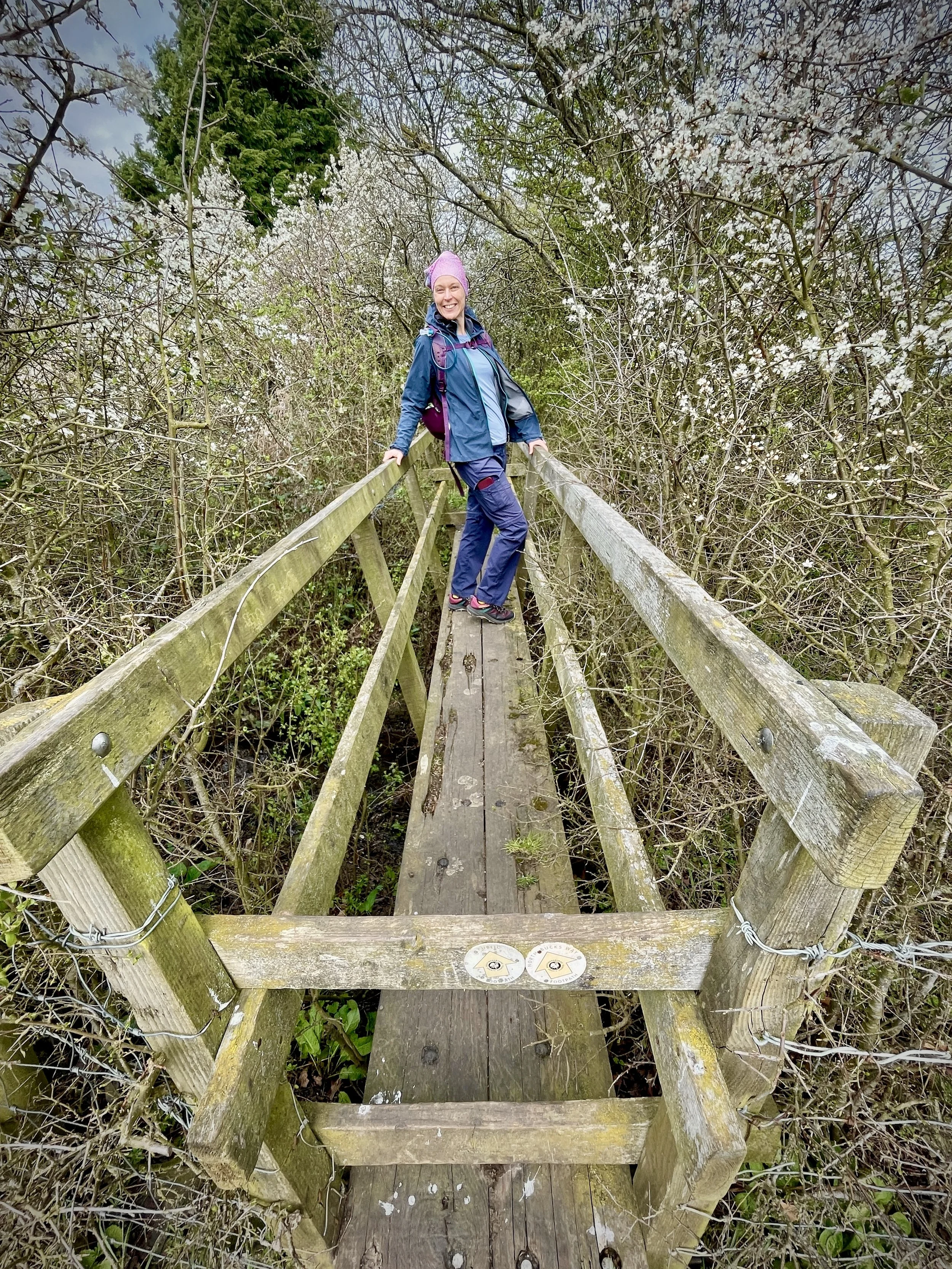
The guidance below will help you navigate but don’t use it as a fully accurate turn-by-turn guide. Always take a map and/or a GPX route and prepare well for the weather and terrain.
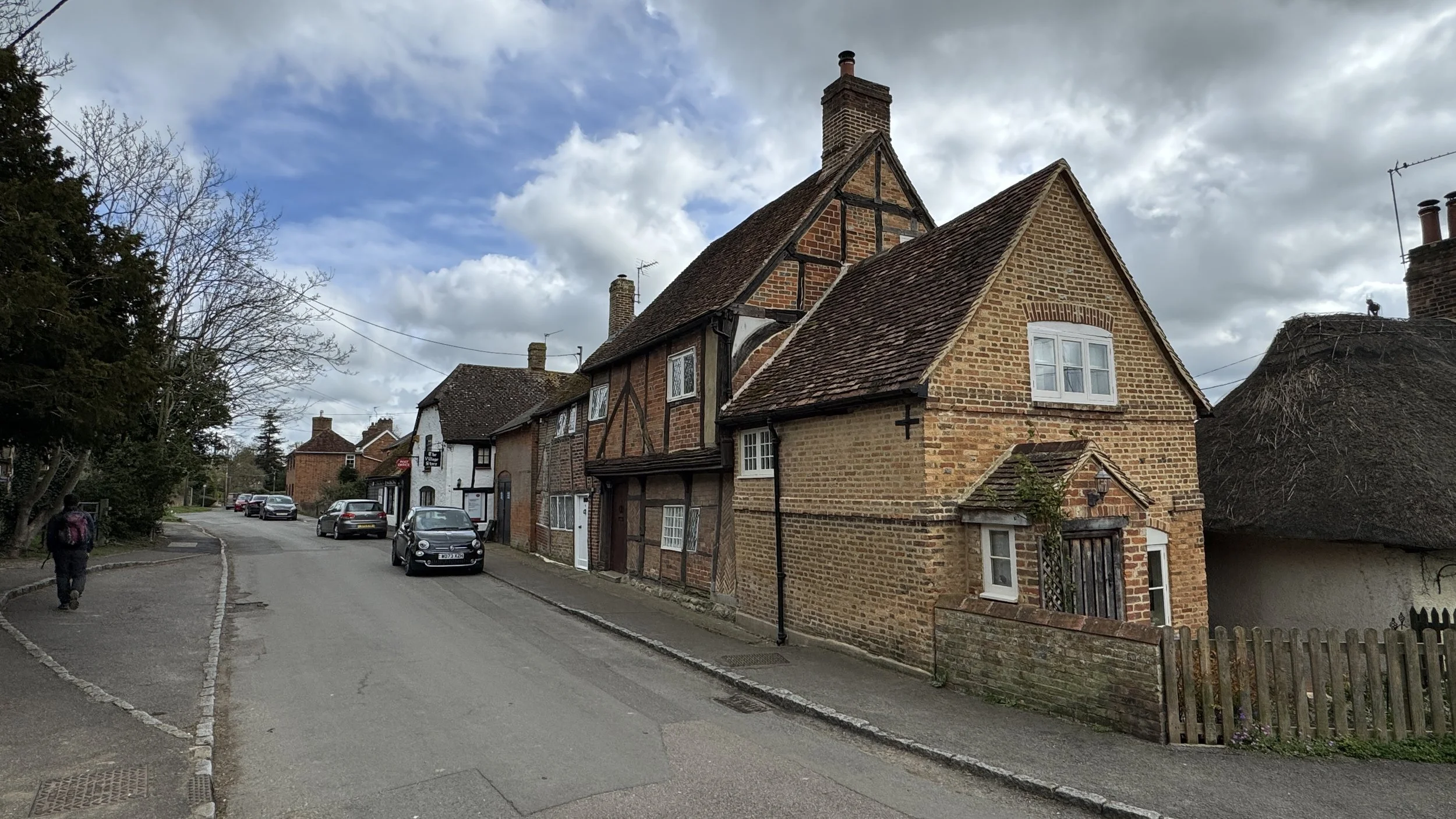
Begin your walk at the village green in Quainton outside the George and Dragon Pub.
Follow The Green in a north-easterly direction then take a right onto Church Street then take the footpath on the left to ascend Quainton Hill.
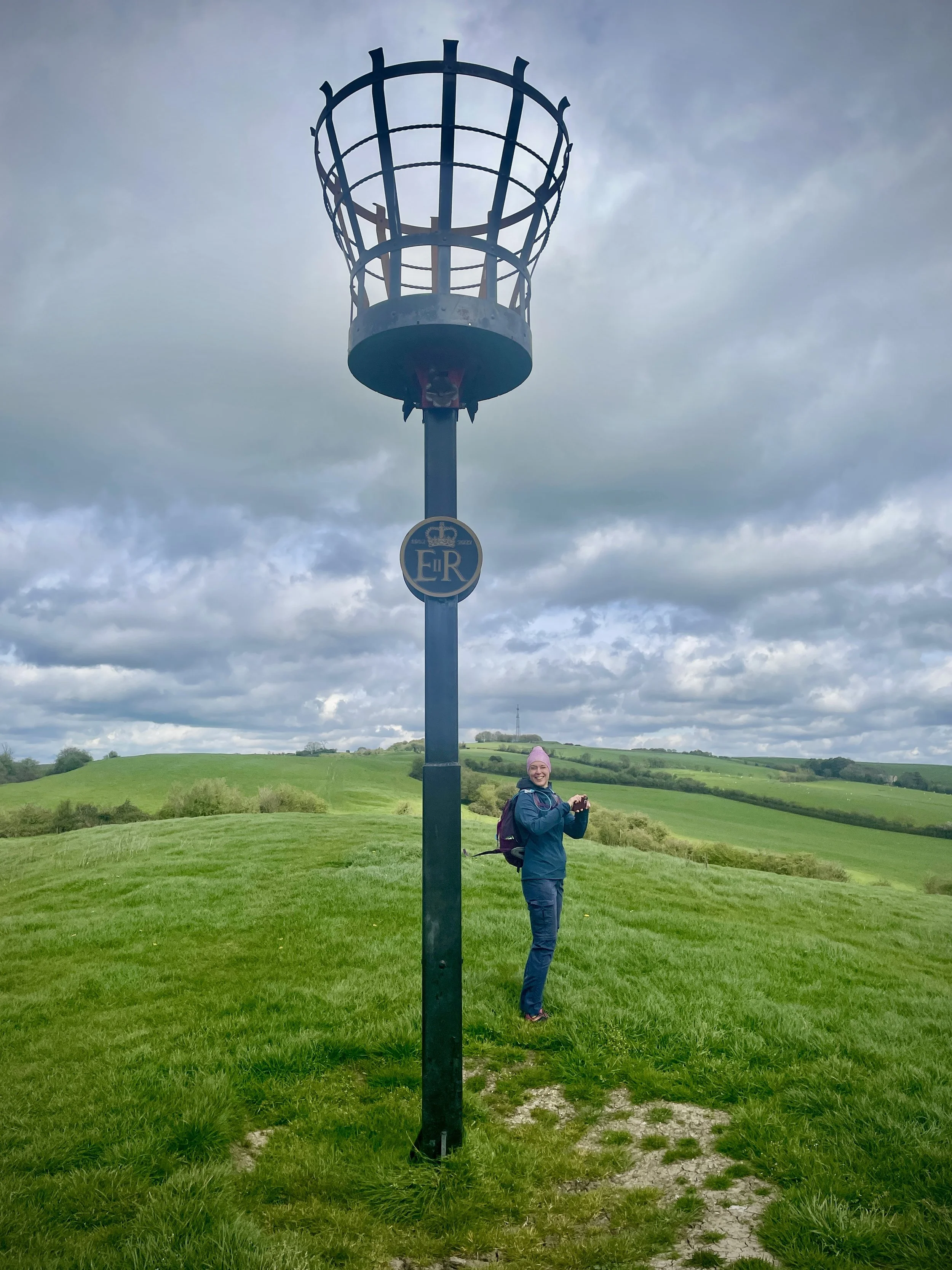
The Midshires Way ascends along the side of the hill where Quainton Beacon stands. It’s well worth taking a small diversion to the Beacon for the views to the south over Quainton Village and across the Vale to the Waddesdon Estate.
As you continue to climb Quainton hill in a north / north-easterly direction you’ll see the large transmitter mast and reservoir on your right. If you want to bag the OS Trig Pillar you can divert off the Midshires along a farm track to the reservoir. The Trig Pillar is on top of the reservoir and surrounded by a high fence so you can get within a few metres of it but not touch it. Follow the footpath that runs alongside the western edge of the reservoir until you rejoin the Midshires Way.
Once you pass the summit of Conduit Hill (just north of Quainton Hill) descend in a north-easterly direction following the Midshires Way. Note that this splits here from the Outer Aylesbury Ring which follows the more obvious route of the treeline. The Midshires Way is not obvious here so you’ll either need a GPX file or good compass skills to keep on track.
When you reach Hogshaw Road take a left to follow it for 400m then take a right to follow the footpath through fields in a north-westerly direction to Church Way in East Claydon.
Take a left off Church Way towards the entrance of St Mary’s Church. Follow the footpath in a south-westerly direction to join St Mary’s Road.
Follow St Mary’s Road in southerly direction, joining Botyl Road as it passes through Botolph Claydon. Cross over the junction with Orchard Way onto Weir Lane and continue walking in a southerly direction.
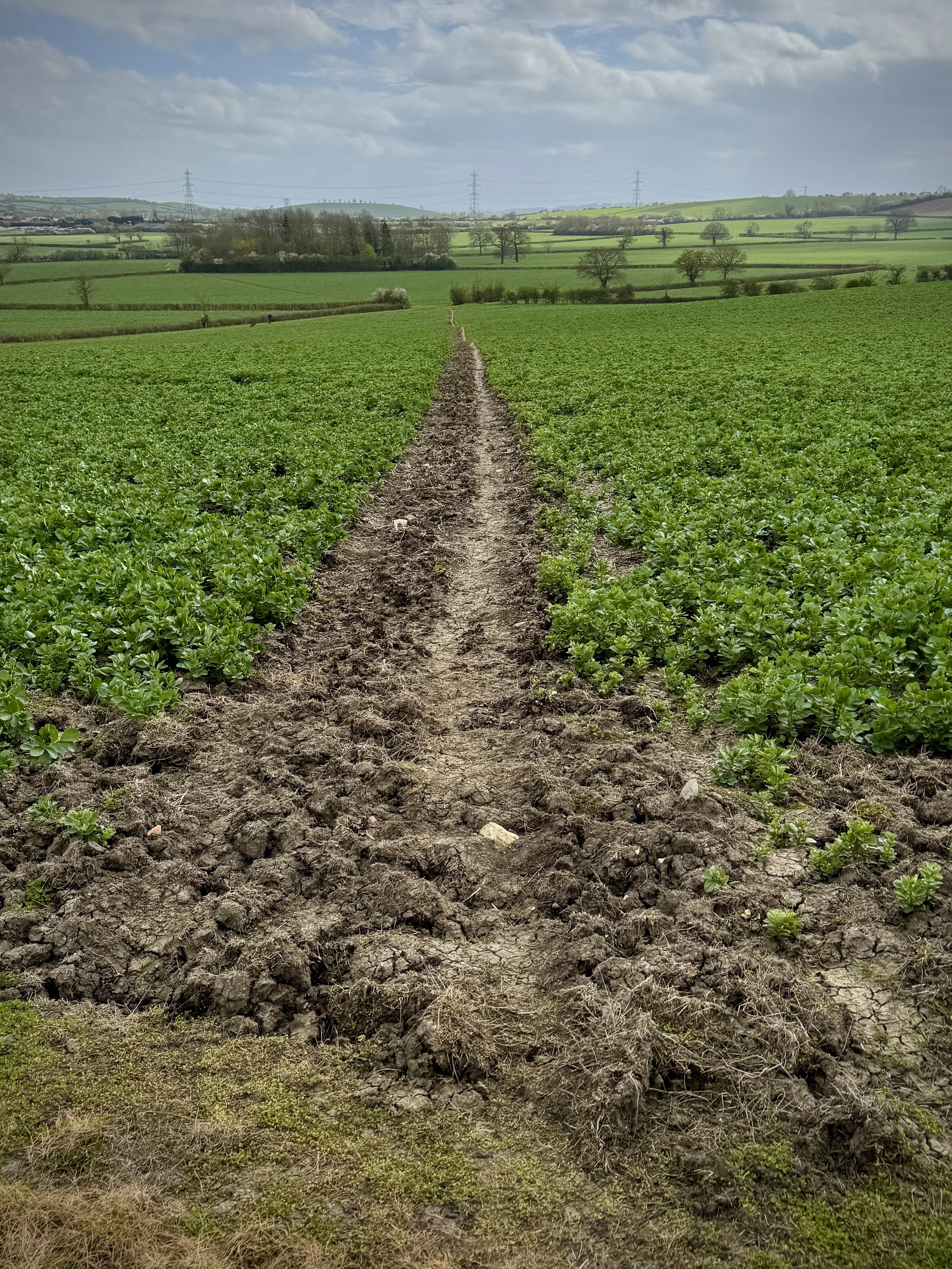
When you reach the farm buildings at the end of Weir Lane continue south across farmland and across the old Bernwood Farm Airstrip (now not visible)
When you reach the back of Hogshaw Farm and Wildlife Park you can either continue on the path through to Claydon Road or take a small diversion into the farm to reach the cafe. This is the only place to get food and drink on the route until you are back at Quainton.
Cross over Claydon Road and follow the driveway towards Hill Cottage Farm, taking the footpath on the right before the farm buildings.
Continue to follow the footpath through fields until you reach Upper Street in Quainton. Take a left onto Upper Street and follow it back to the start at The Green.
Points of Interest along or near to the Route
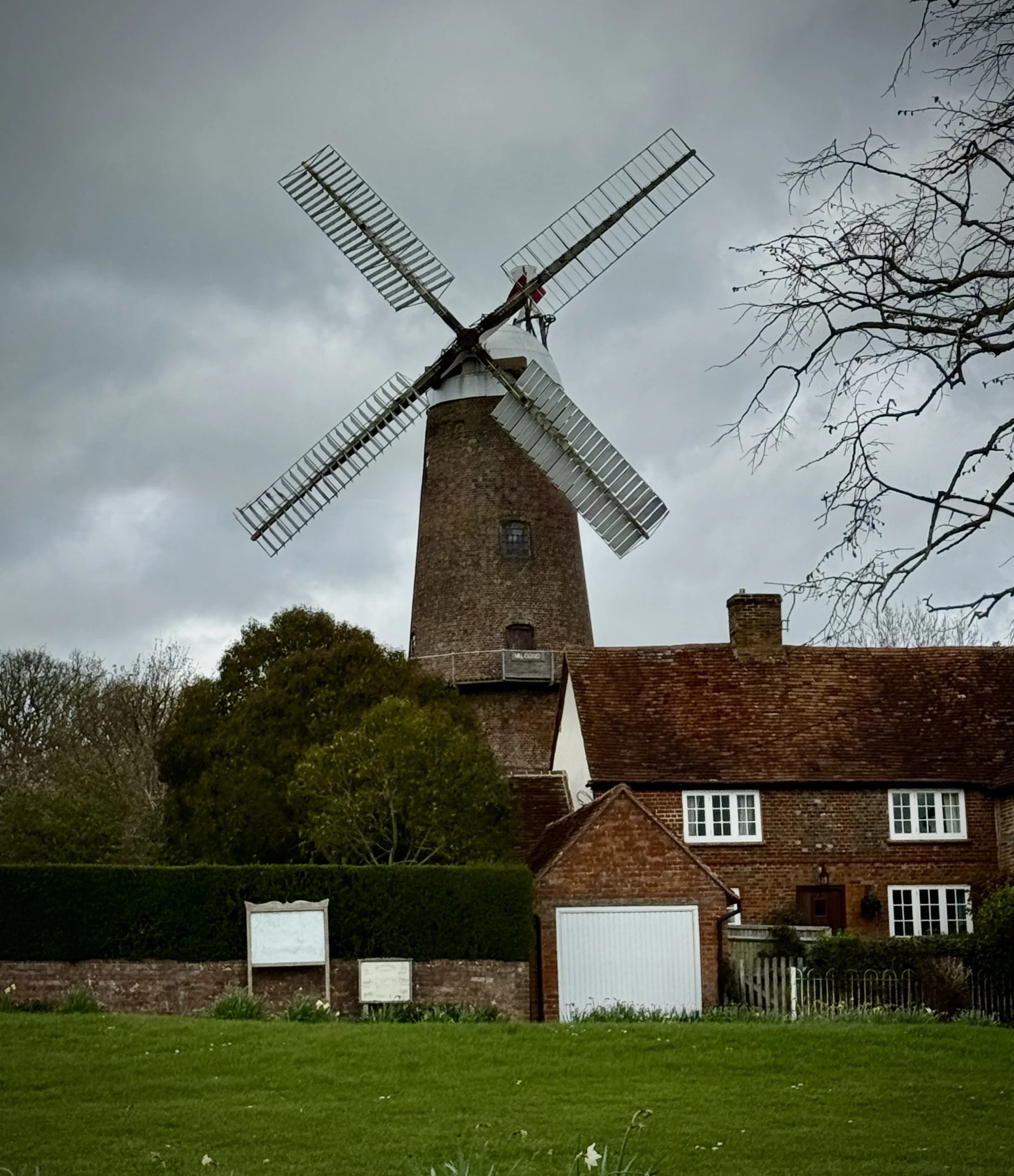
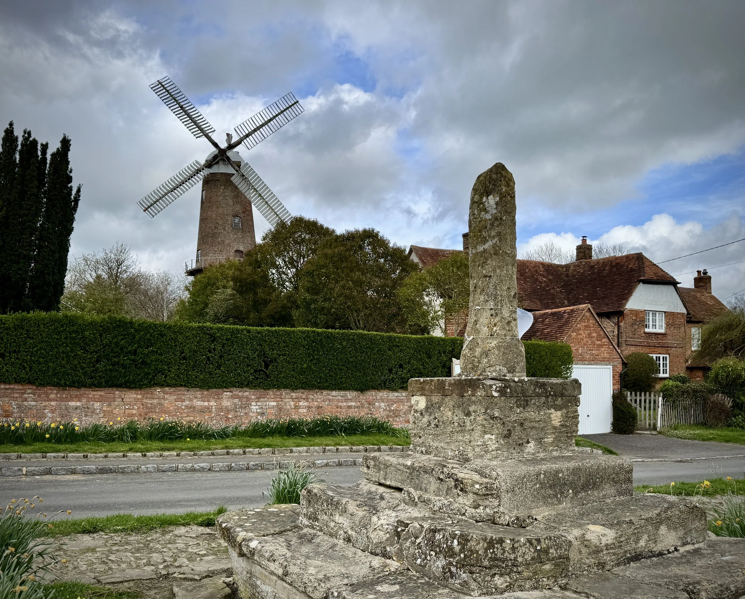
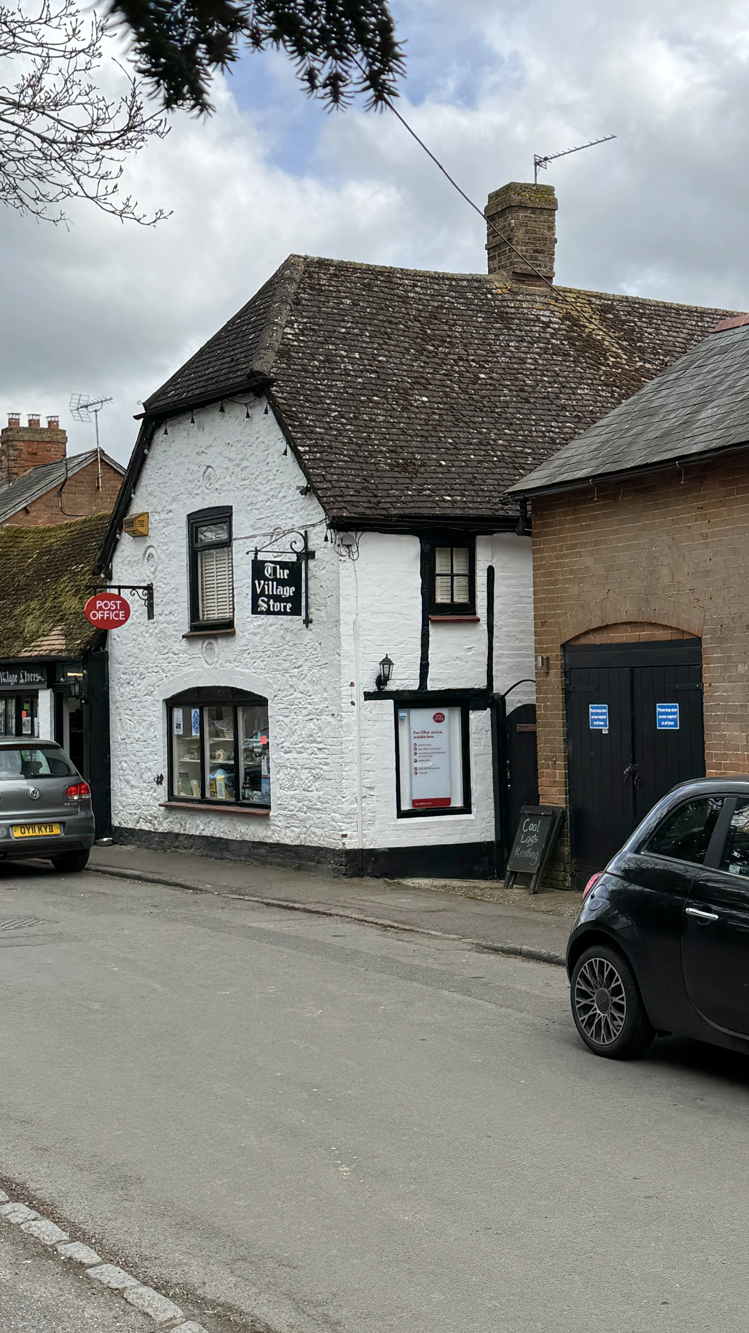
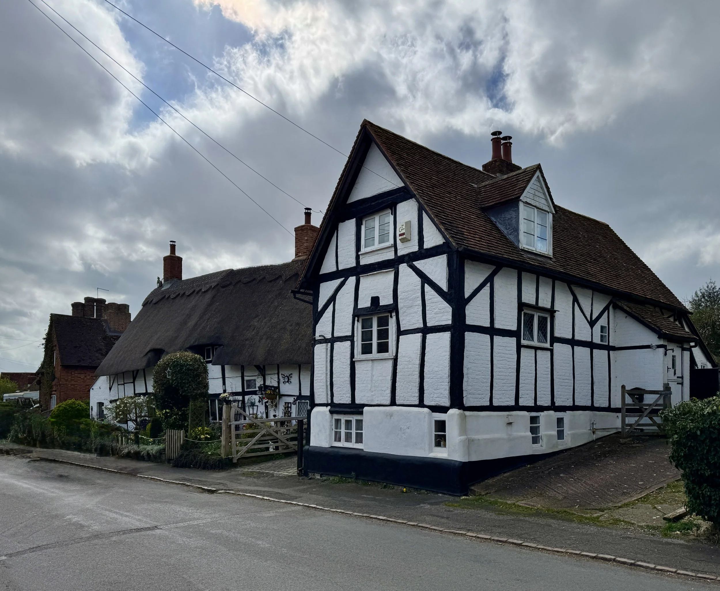
Quainton’s Village Heritage The walk begins and ends in the picturesque village of Quainton, dominated by the magnificent Quainton Windmill. Built in 1830, this towering six-storey working mill remains the tallest in Buckinghamshire and stands as a stunning monument to 19th-century agricultural engineering. Just below the turning sails sits The George & Dragon, a historic free house on the village green dating back to 1777, offering a quintessential village pub experience. As you ascend out of the village, you pass the Quainton Beacon atop Mill Hill—a ceremonial site recently lit for Queen Elizabeth II's Platinum Jubilee, which offers elevated, sweeping views over the Waddesdon Estate.
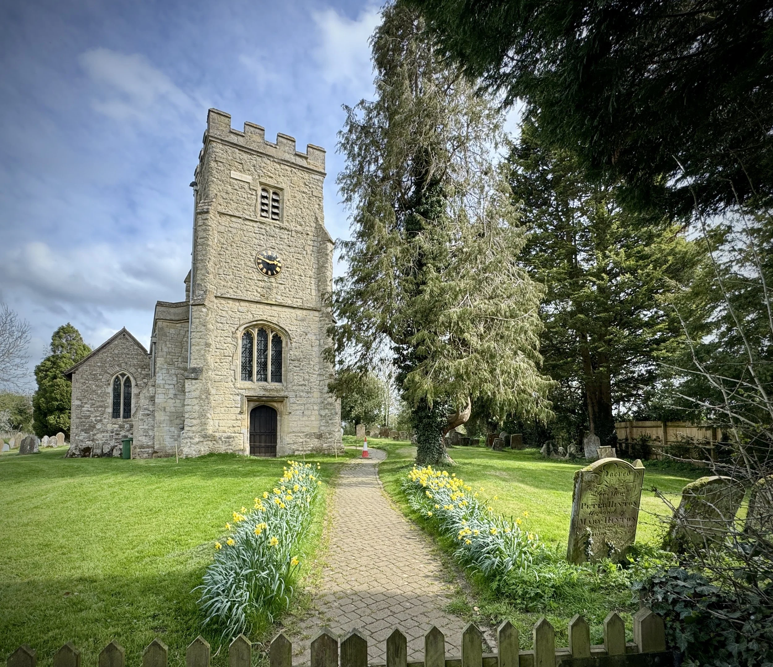
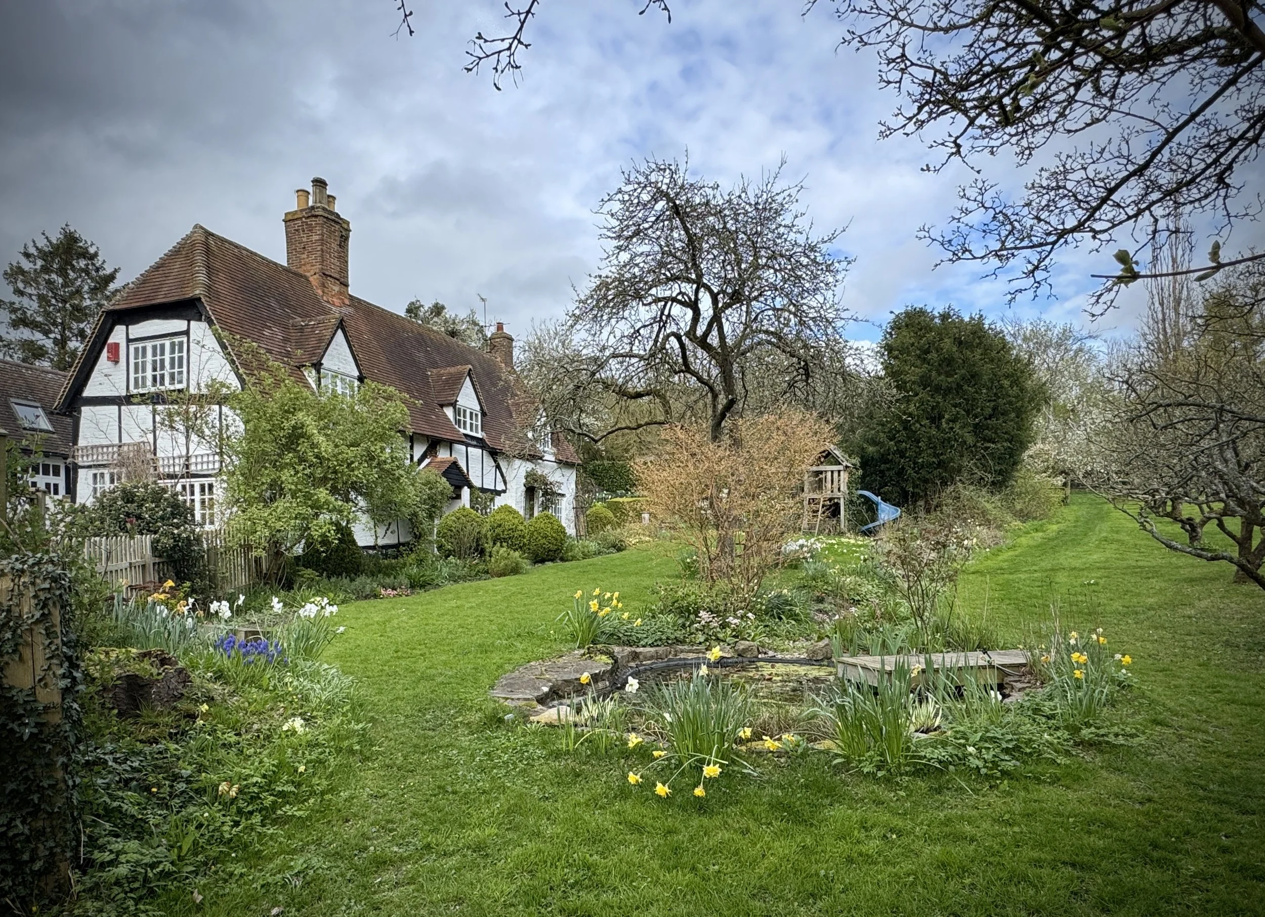
East Claydon: This historic Buckinghamshire village has Anglo Saxon origins, with its name deriving from the Old English term for a clay hill. The settlement is home to the parish church of St Mary, which features a 14th century chancel and was partially rebuilt following the English Civil War. It provides a picturesque and culturally rich backdrop as you navigate the local countryside.
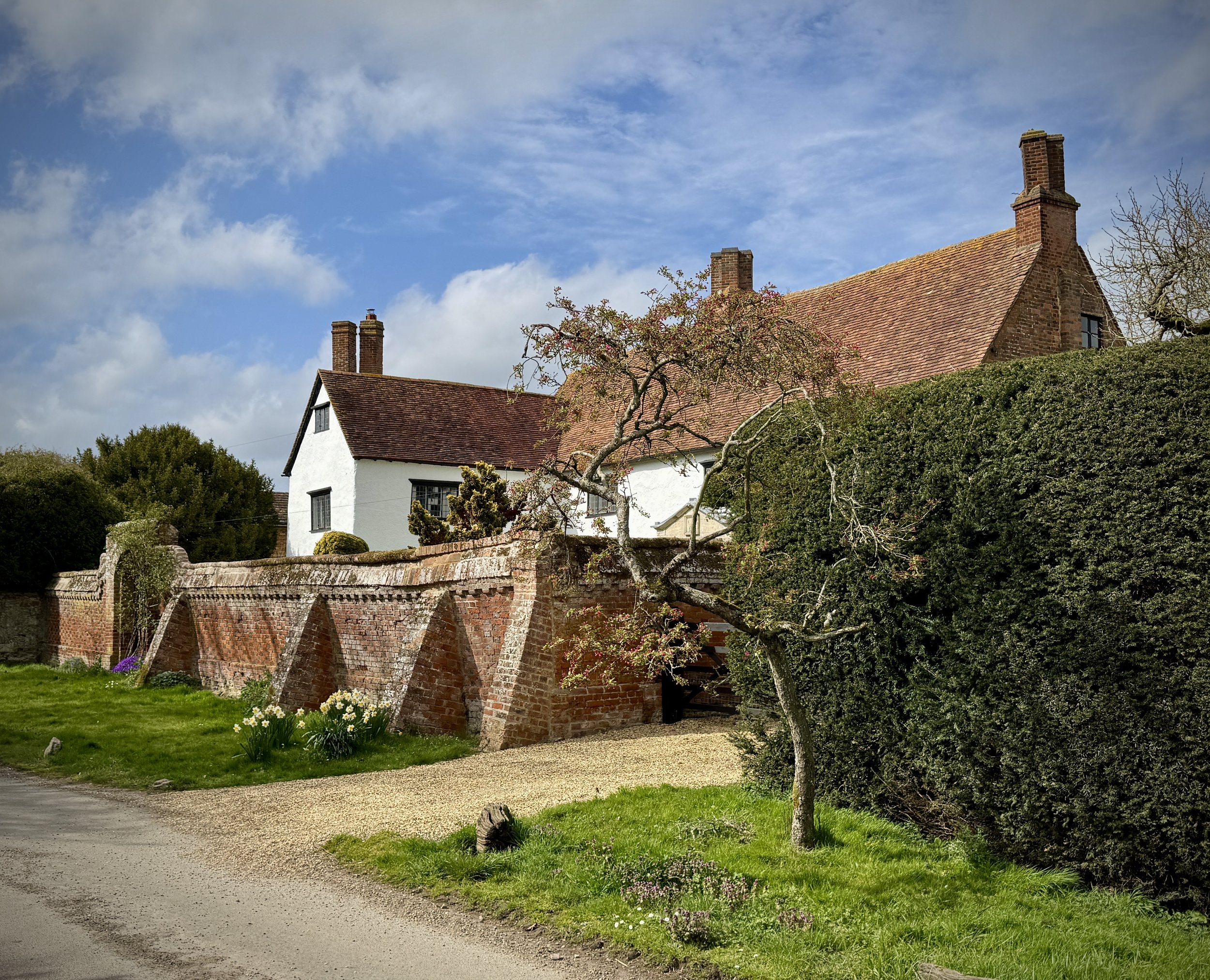
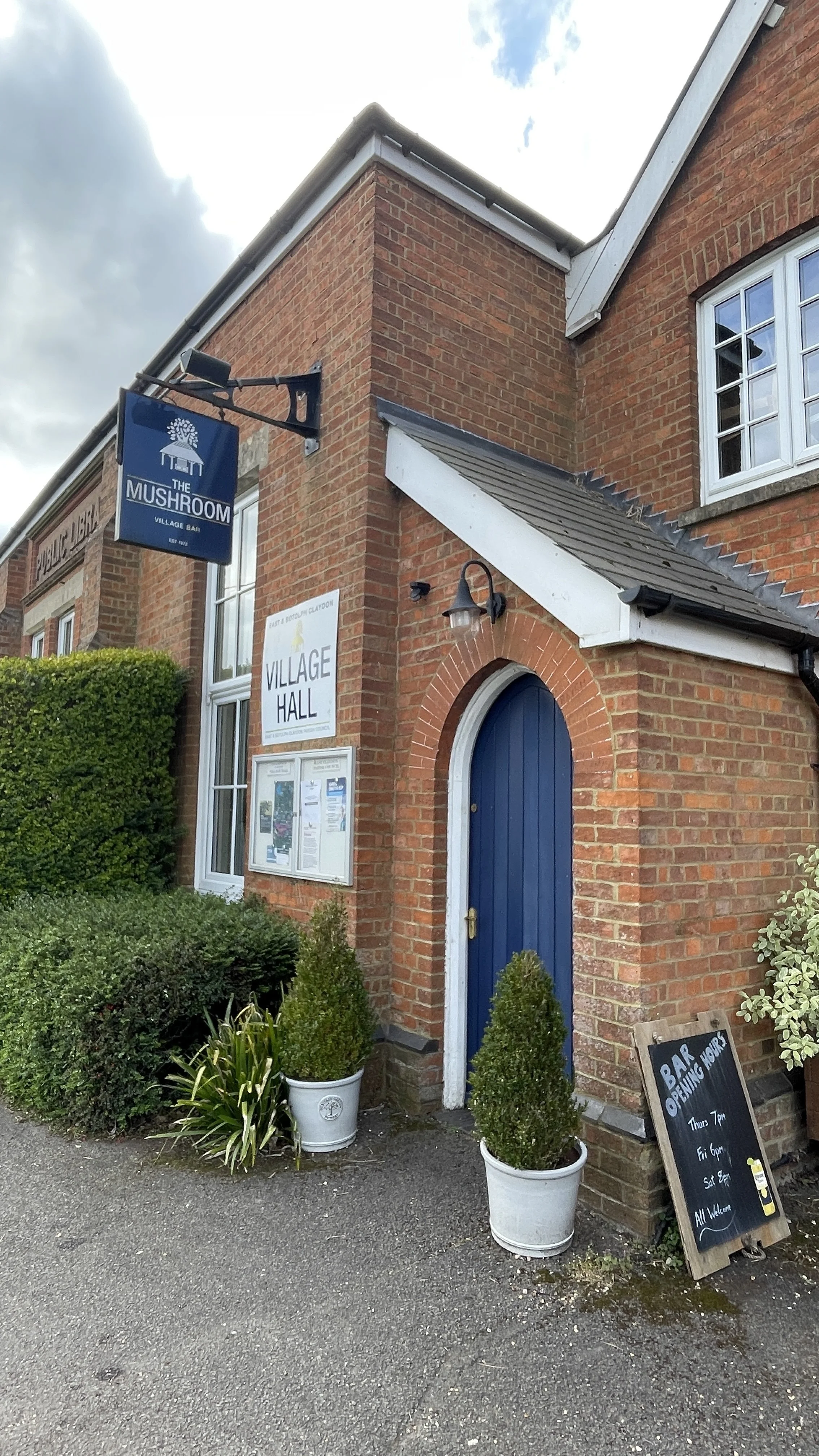
Botolph Claydon: A historic Buckinghamshire village that is home to a community-run bar. It would be a perfect mid-walk rest stop if it opened during the day. At time of writing the bar only opens in the evenings.
Conservation and Countryside The return leg of the journey crosses a diverse blend of agricultural land and dedicated conservation areas. The route crosses the old unpaved Bernwood Farm Airstrip, a subtle nod to local civil aviation that has been active since the 2000s. Just beyond lies Hogshaw Farm and Wildlife Park, set within 44 acres of open countryside. Dedicated to protecting rare breeds and local natural habitats, this environmentally conscious farm is a haven for European wildlife and a perfect refreshment stop for walkers exploring the local nature trails.
Midshires Way previous section (south): Waddesdon and Quainton Road
Midshires Way next section (north): Verney Junction and Winslow