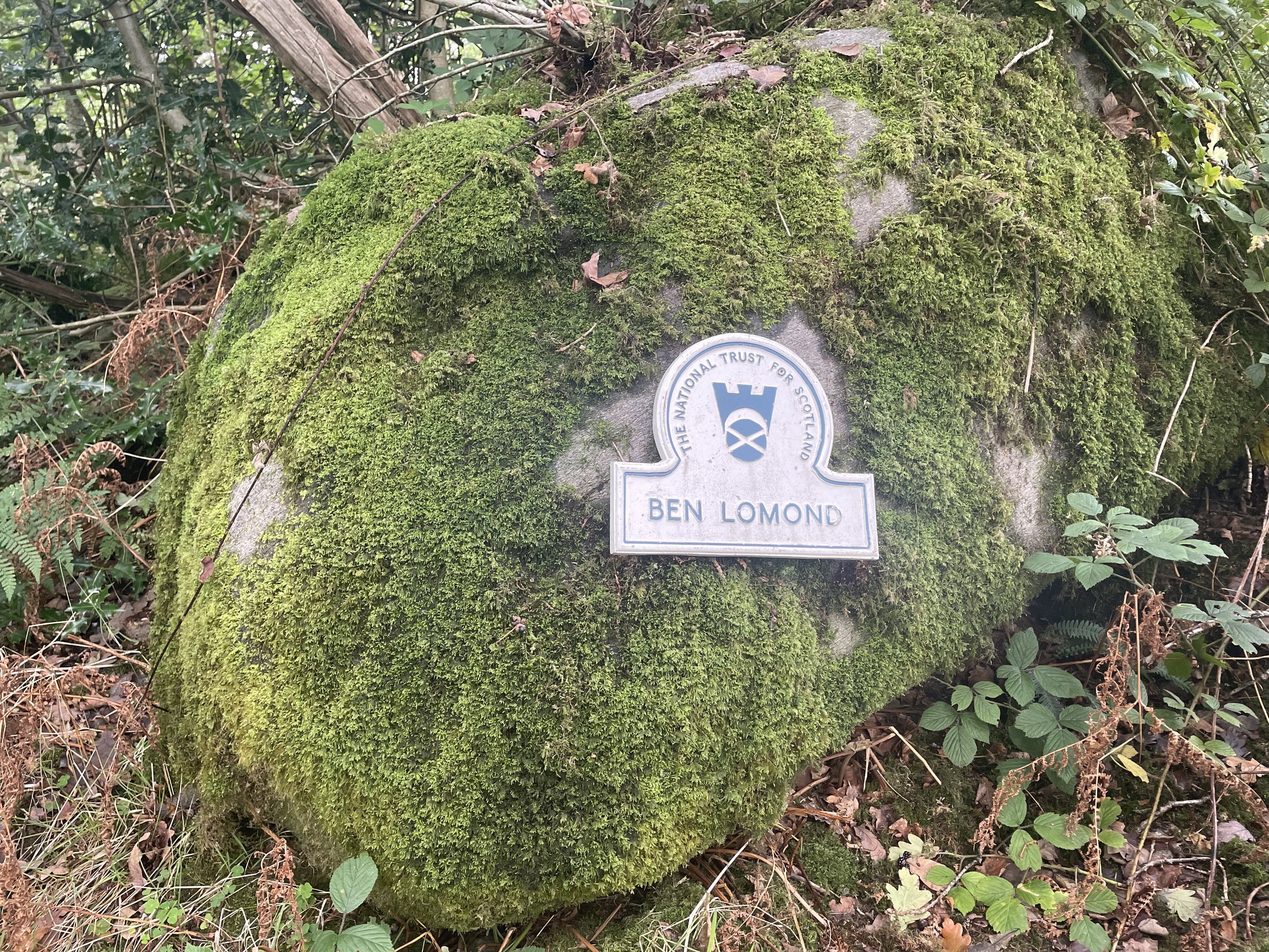
Ben Lomond: Stirlingshire County Top

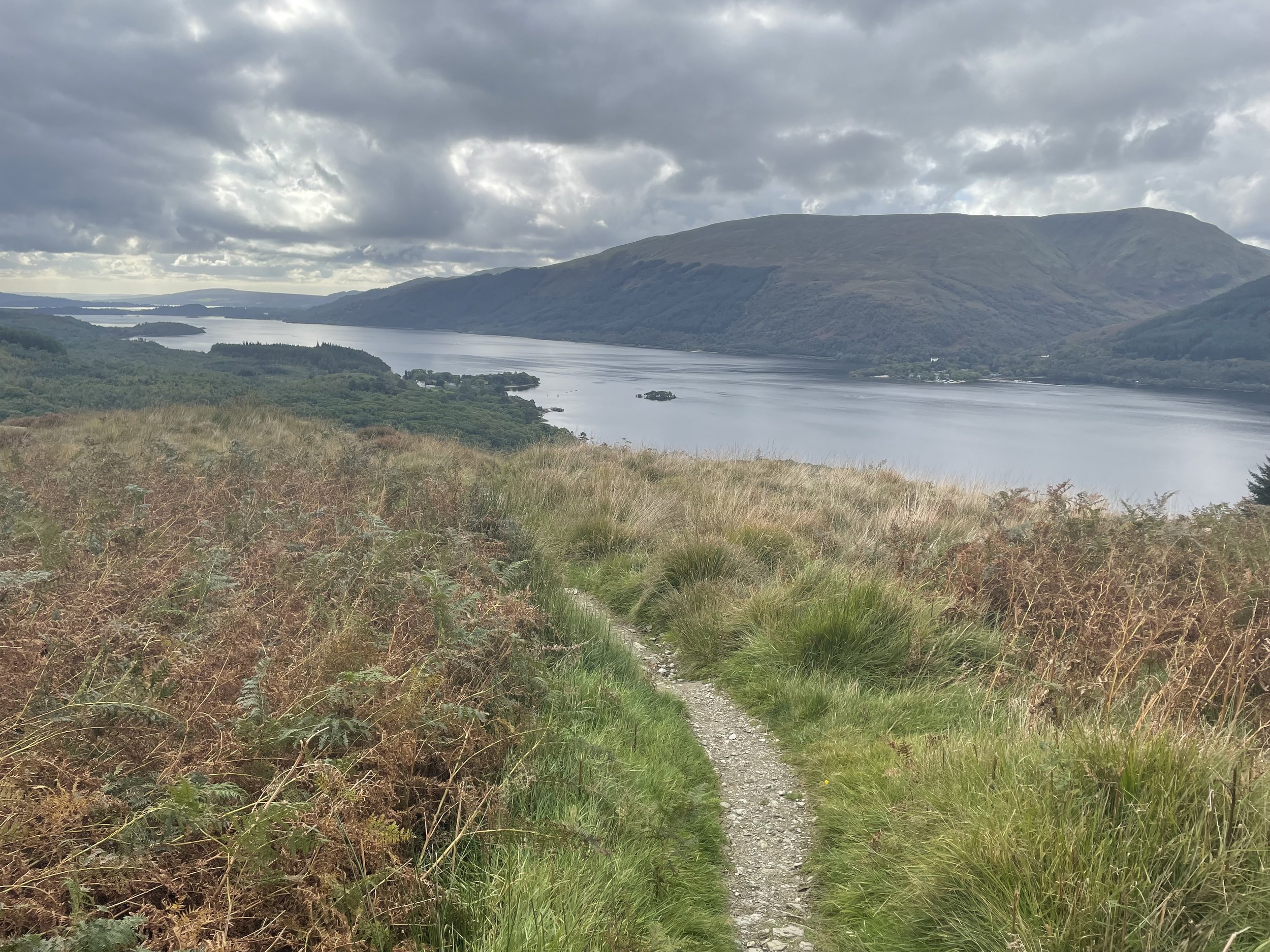
View over Loch Lomond on the descent from Ben Lomond
Also known as: Beinn Laomainn (“beacon mountain")
Significance: High Point for the Historic County of Stirlingshire, Loch Lomond NSA High Point
Member of: Munros, Marilyns
Parent Peak: Beinn Ime.
Nearest Higher Neighbour: Beinn Ime
Elevation: 974m
Date climbed: September 23rd 2023
Coordinates: 56° 11' 25'' N, 4° 37' 59'' W
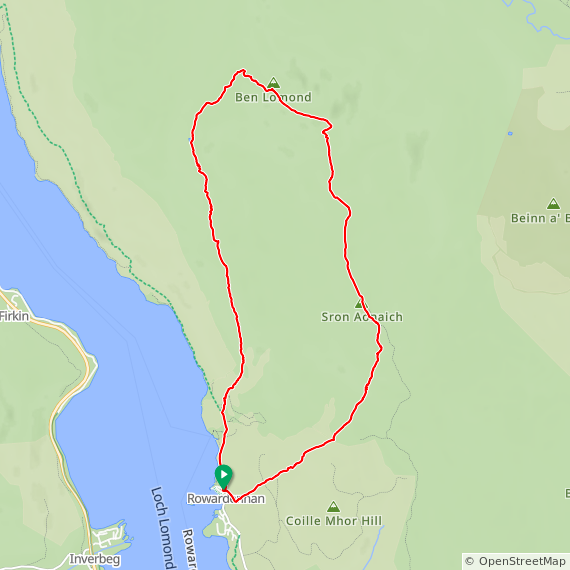
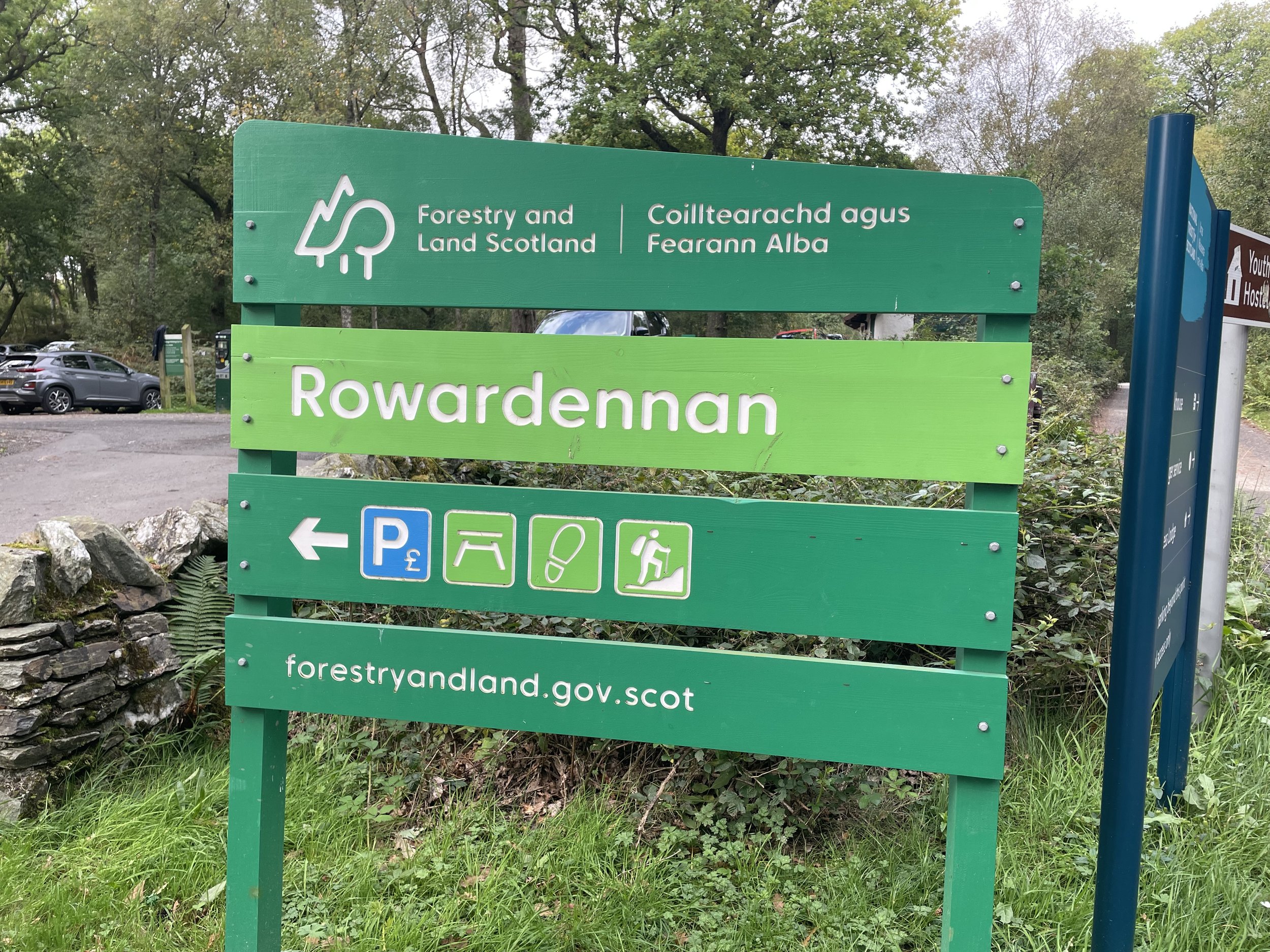
Route Start & Finish: Ben Lomond (Rowardennan) Car Park, Stirling, G63 0AR
Route Distance: 12 km (7.5 mile)
Route Elevation change: +/- 913m
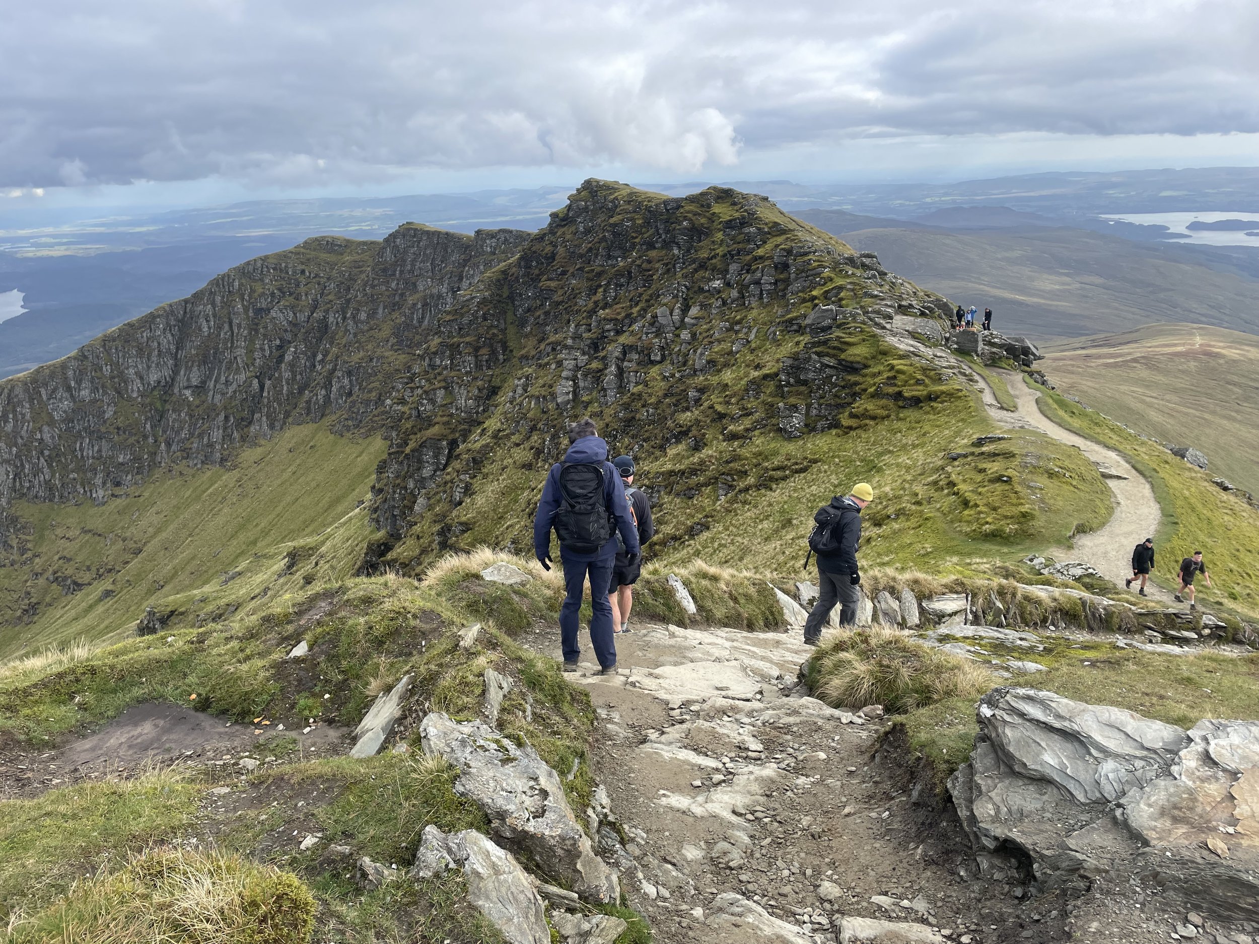
Subsidiary tops on route: Ptarmigan (778m)
GPX File: get via Buy Me a Coffee
Other routes touched (walk): Ben Lomond Trail, Ptarmigan Ridge Path, West Highland Way
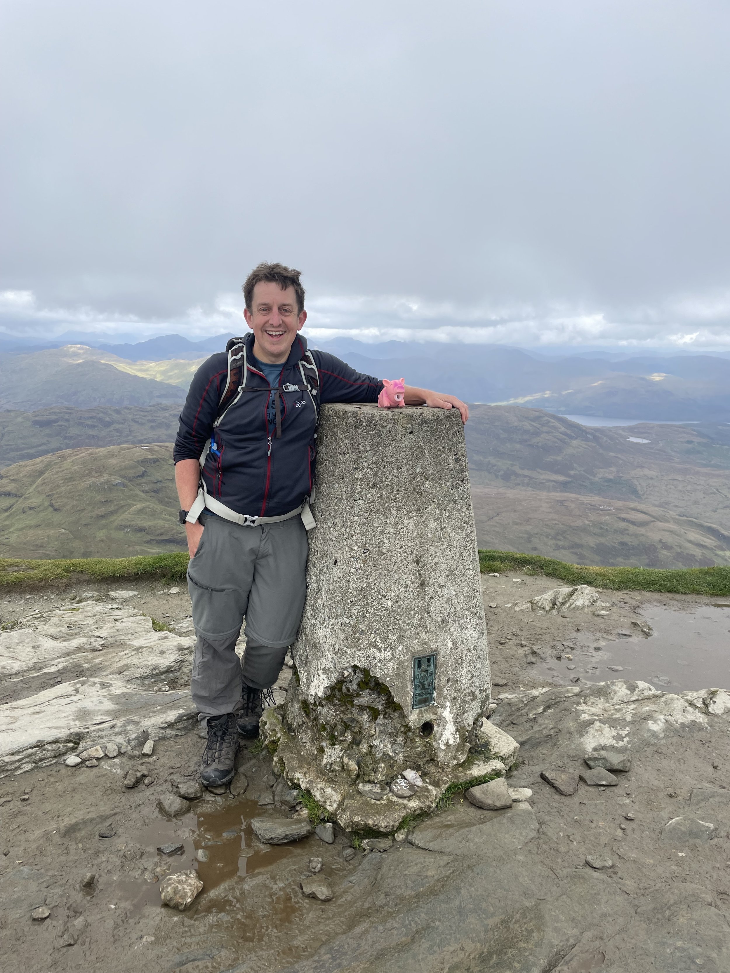
OS Trig Pillar: TP1283 - Ben Lomond
Pubs / Cafes on route: None on route but the Clansman Bar at the Rowardennan Hotel is near the car park
Map: Loch Lomond North Map | Tyndrum, Crianlarich & Arrochar | Ordnance Survey | OS Explorer Map OL39
Guidebook: The UK's County Tops (Jonny Muir)
Links: Wikipedia: (Stirlingshire / Ben Lomond), Peakbagger
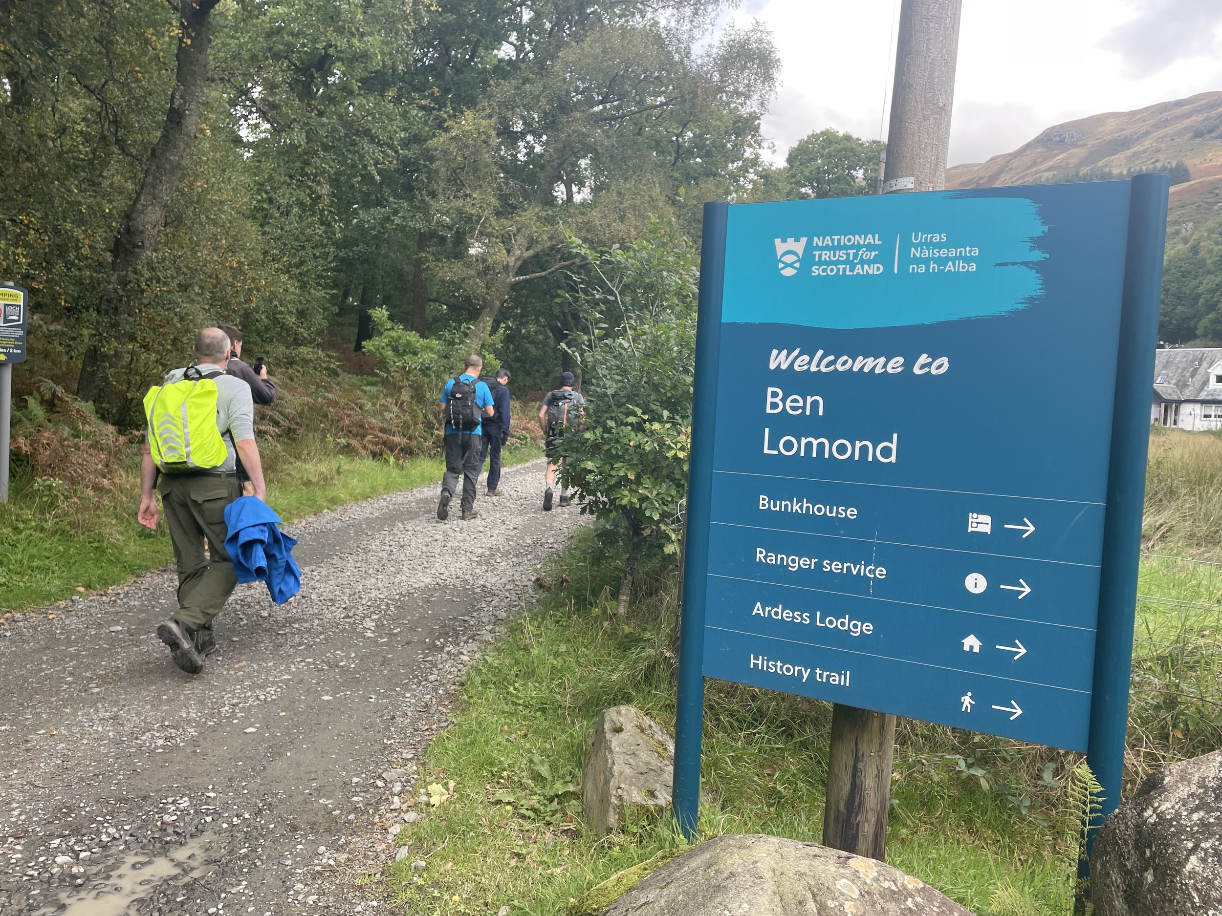
This was a day hike as a part of a 4-day Scottish County Top trip to bag Ben Lawers, Ben Vorlich, Ben Lomond and the Hill of Stake. We were on our 3rd day of the trip and had already ticked off Ben Lawers and Ben Vorlich. Now for Ben Lomond, not the highest of the trip, but definitely the most iconic. Ben Lomond is the most southerly Munro, sits on the edge of Loch Lomond and is very close to Glasgow. As such it’s very popular and it can be hard to find parking spots.
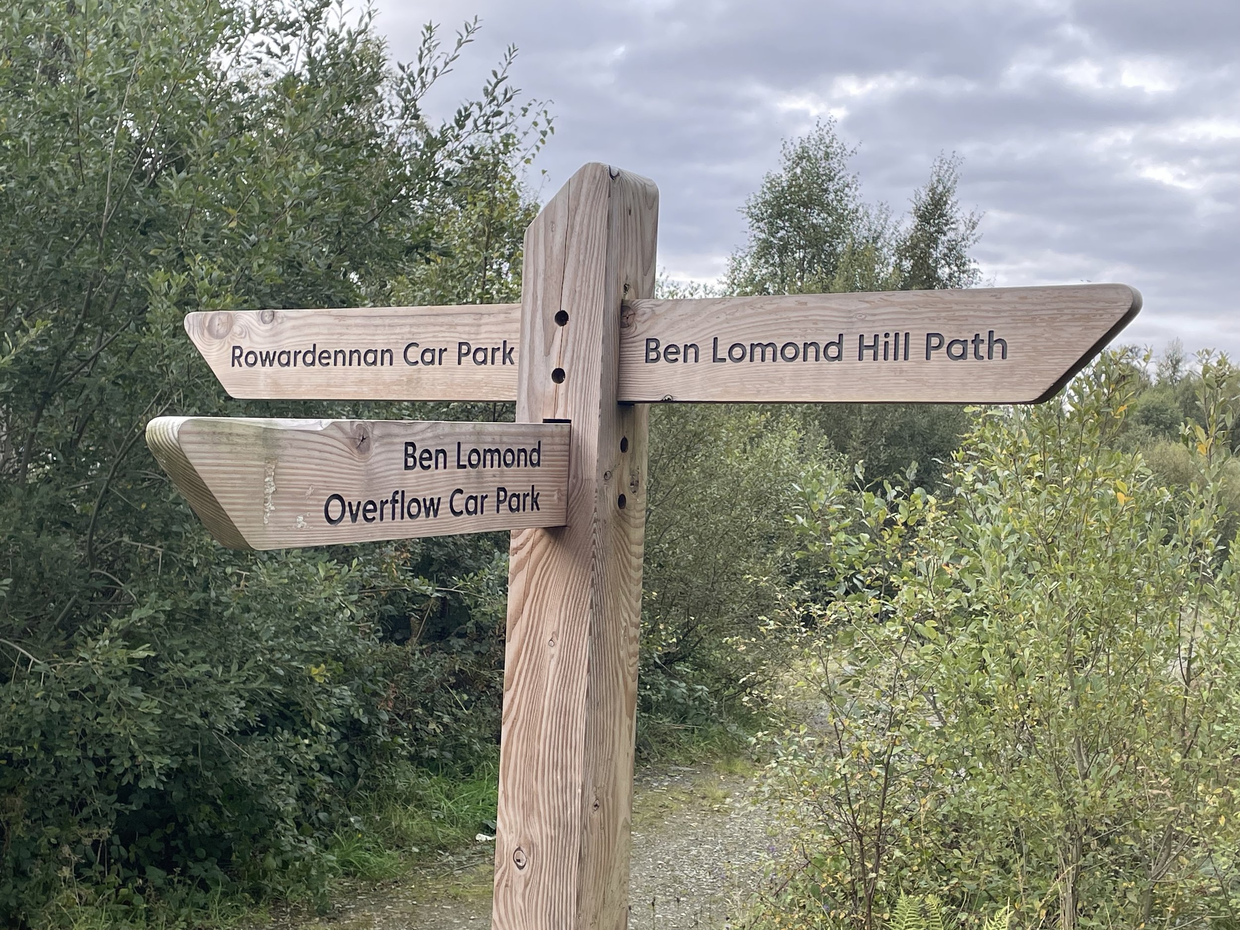
We read that in the summer the police close off the road to the main car-park. We were there in late September after the summer peak but we also had to get in a parkrun as it was a Saturday. By the time we arrived it was 11:00 and the main car-park was full so we parked in the overflow instead. This has its advantage though as it’s free and has a direct connection to the Ben Lomond Trail.
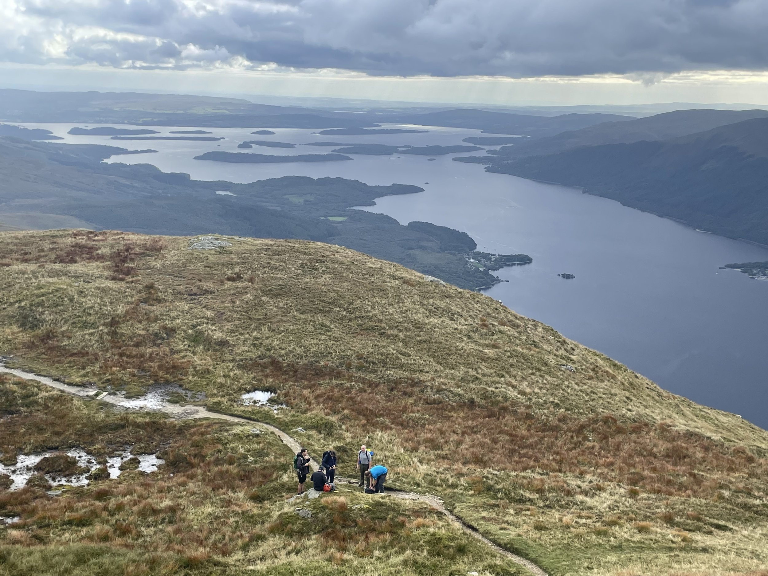
We opted for the clockwise circular route, initially following the West Highland Way from the overflow to the main car-park then picking up the Ptarmigan Ridge Path that ascends on the western side of the mountain closest to the Loch. The weather was a bit grey but we still had great views down to the Loch as we climbed.
The different map apps that we had in the group gave different positions for the summit of Ptarmigan so we visited both just to be sure. After Ptarmigan there’s a steep final ascent to the Ben Lomond summit and the Trig Pillar. The summit is flat and, when we were there, fairly crowded with walkers stopping for lunch. After a quick break we continued the circuit, descending down via the Ben Lomond Way.
Near the Loch there’s a path junction with one route to the main car-park and another to the overflow. We took the route to the main car-park to have a celebratory drink at the Clansman Bar at the Rowardennan Hotel.