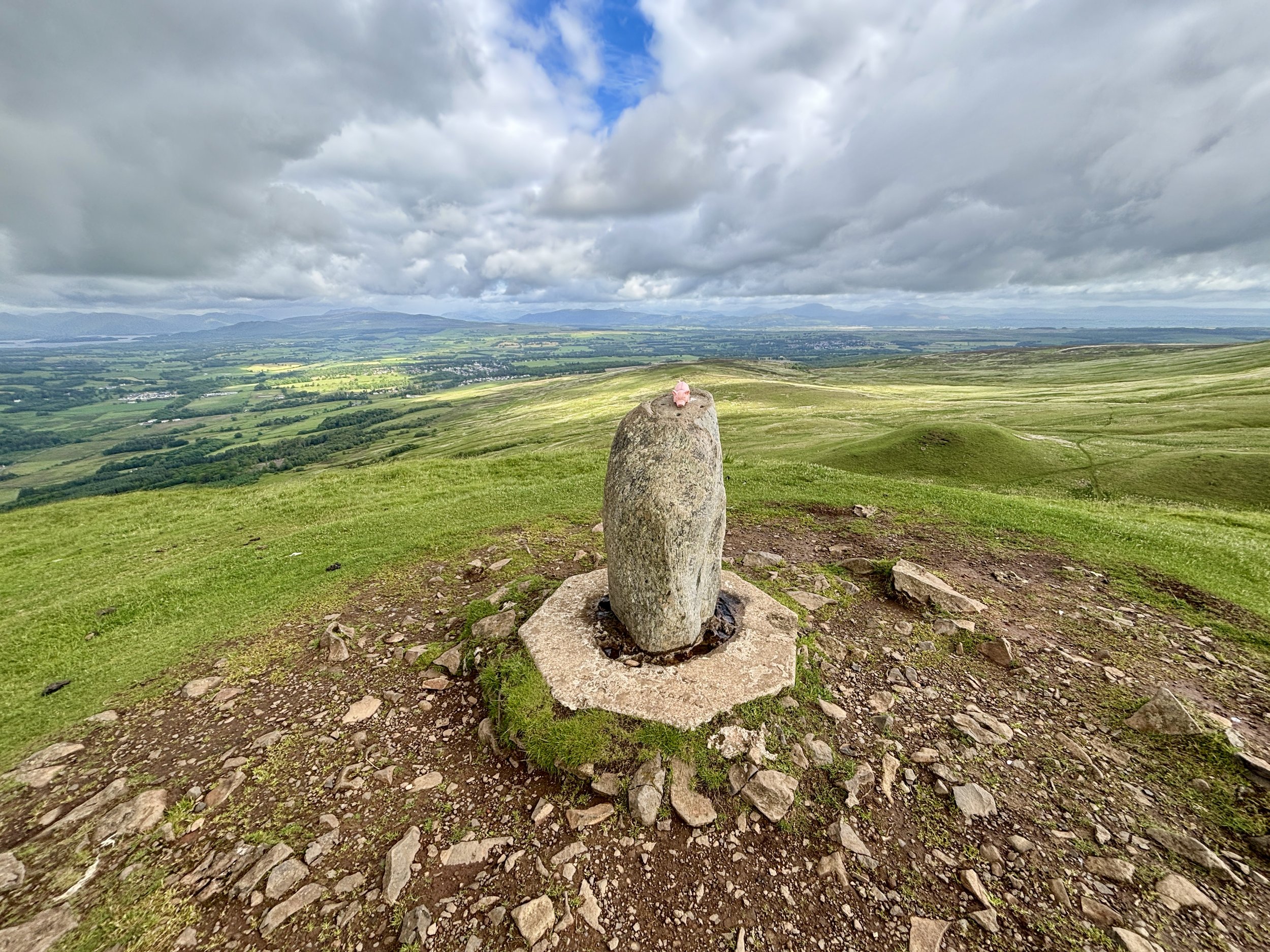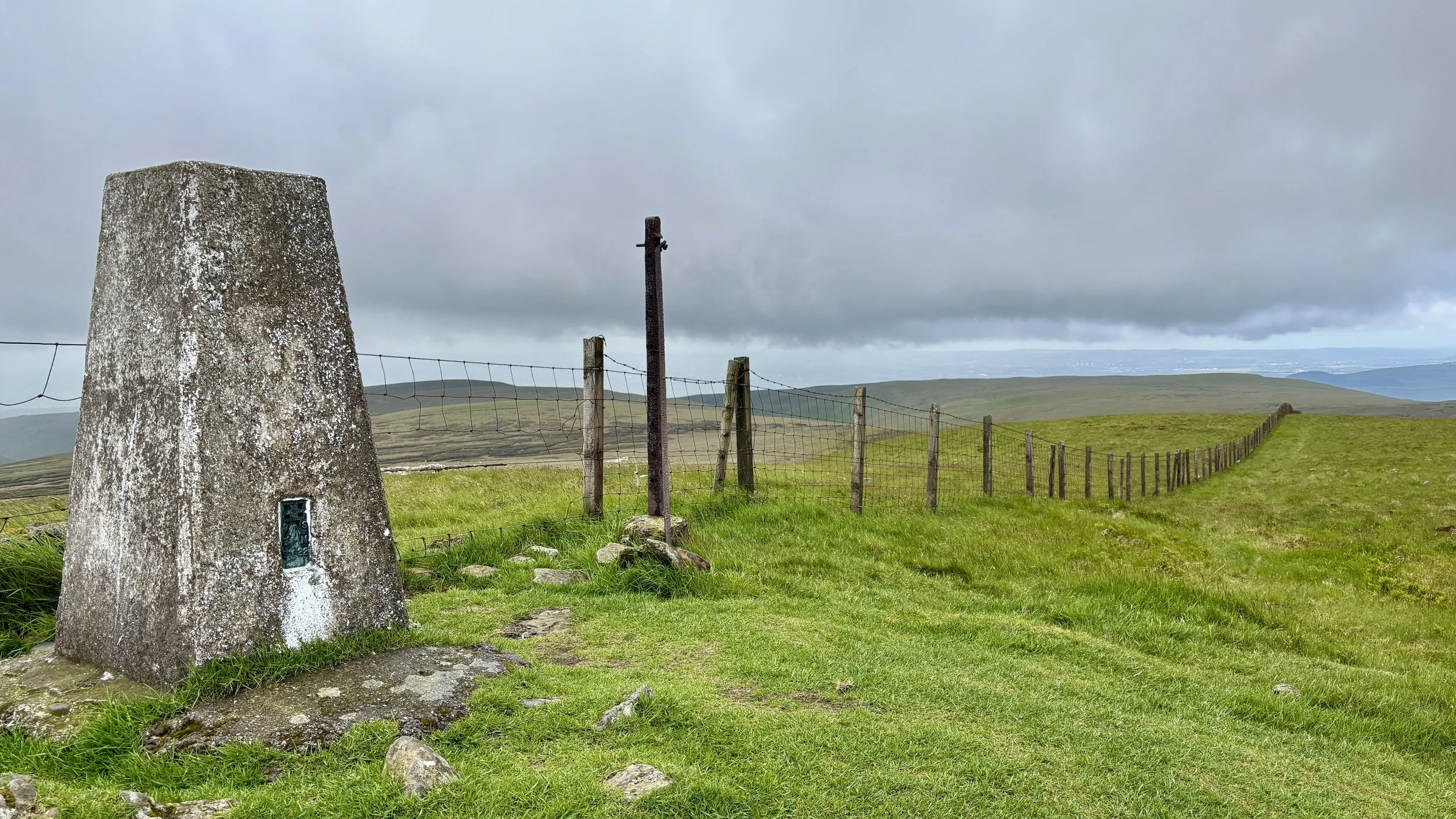
OS Trig Pillar at the top of Earl’s Seat at the border of East Dunbartonshire and Stirling
Significance: Present-day County Top for East Dunbartonshire
Historic County: Stirlingshire, of which Ben Lomond is the Historic County Top
Member of: Marilyns
Parent Range: Campsie Fells
Nearest Higher Neighbour: Binnean nan Gobhar
Elevation: 578m
Date climbed: June 5th 2026
Coordinates: 56°01′33″N 4°17′47″W
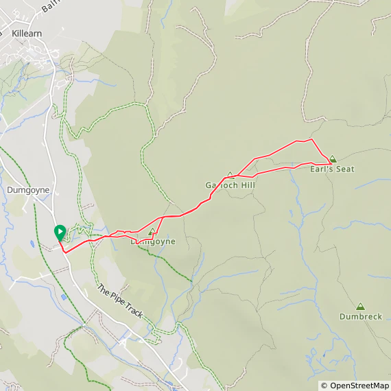
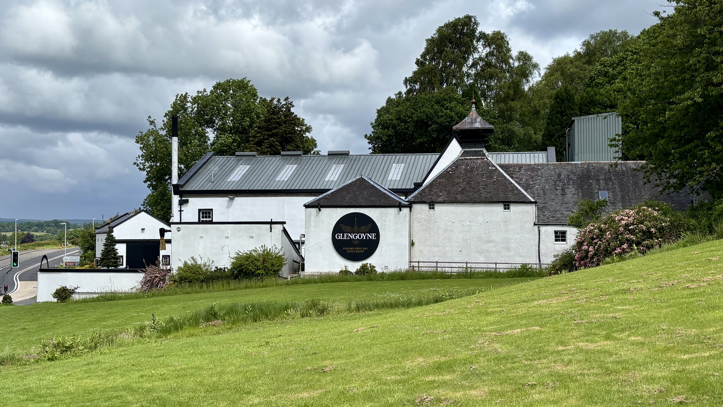
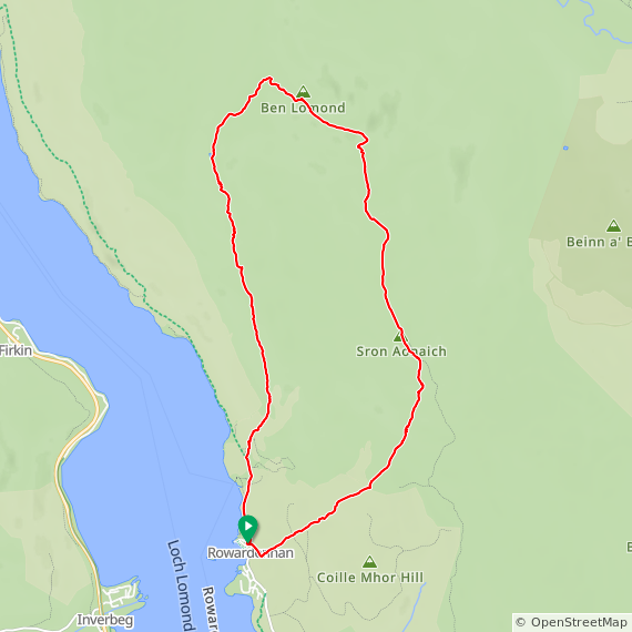
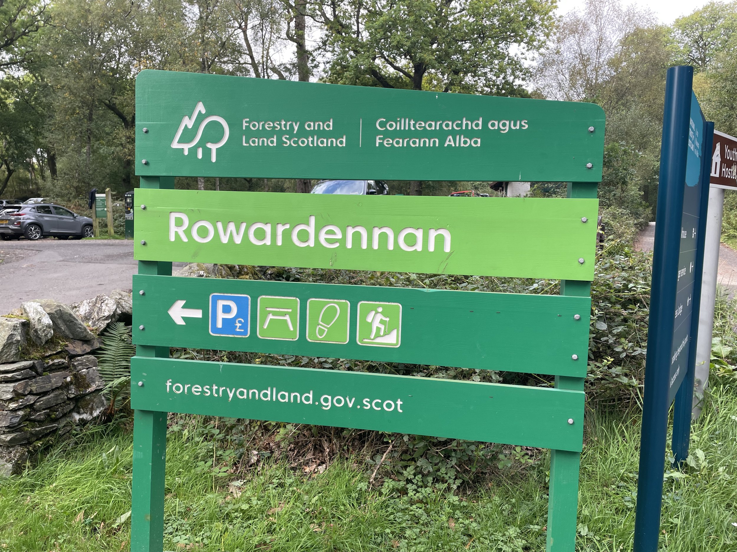
Route Start & Finish: Glengoyne Distillery, Dumgoyne, Killearn, Glasgow, G63 9LB
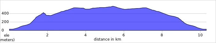
Route Distance: 10.3 km (6.4 miles)
Route Elevation change: +/- 628m
Subsidiary tops on route: Dumgoyne Hill (427m), Garloch Hill (524m)
GPX File: get via Buy Me a Coffee
Other routes touched (walk): None
OS Trig Pillar: TP2957 - Earls Seat
Pubs / Cafes on route: None
Map: Campsie Fells Map | Kilsyth, Strathblane & Fintry | Ordnance Survey | OS Explorer Map 348
Links: Wikipedia: (East Dunbartonshire / Campsie Fells / Earl’s Seat), Peakbagger, Hillbagging
Earl’s Seat is Present-day County Top for East Dunbartonshire. I bagged it in 2026 on our annual County Top weekend trip, along with the present-day County Tops of West Dunbartonshire, Glasgow City and the Historic County Tops of Argyll and Ross and Cromarty.
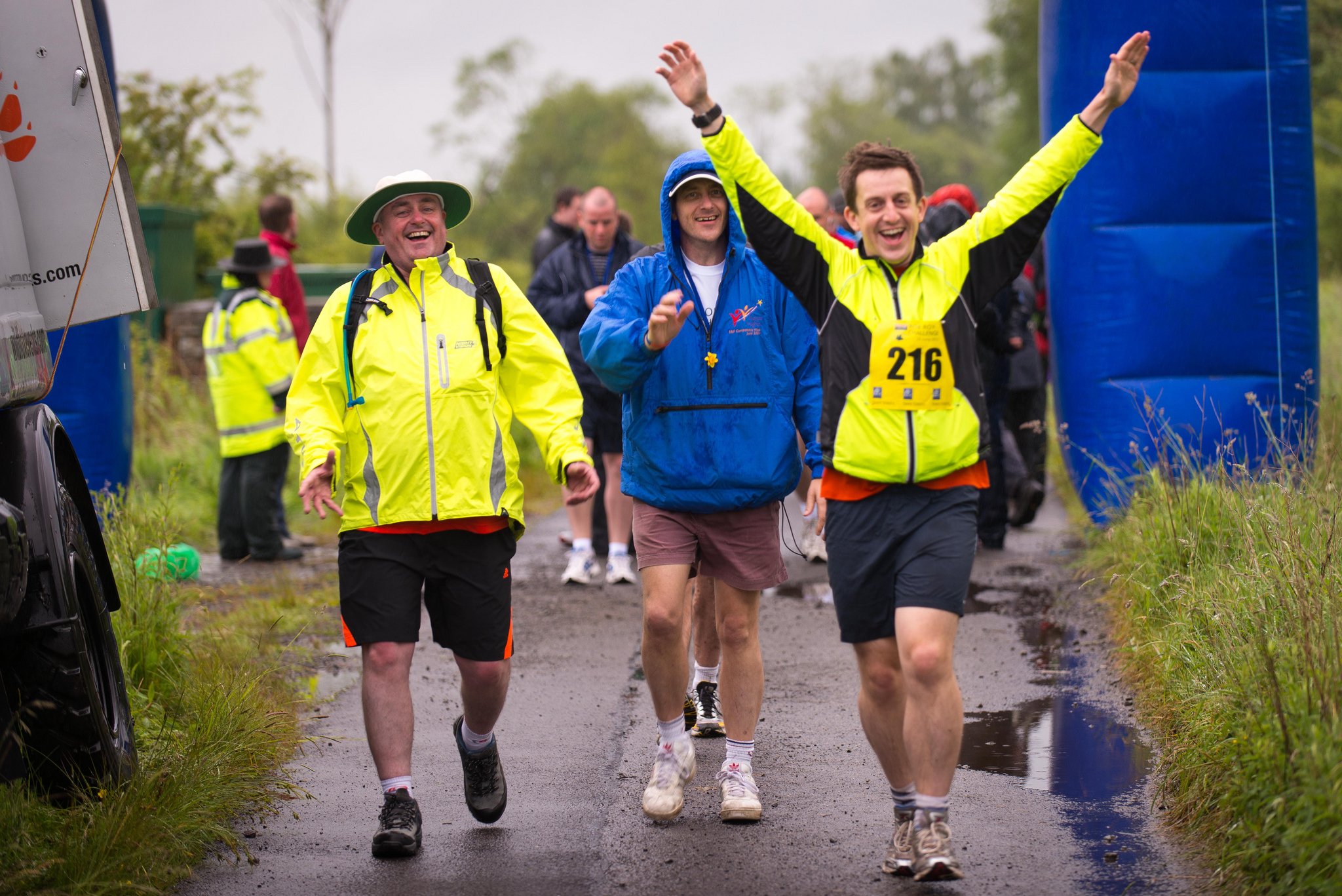
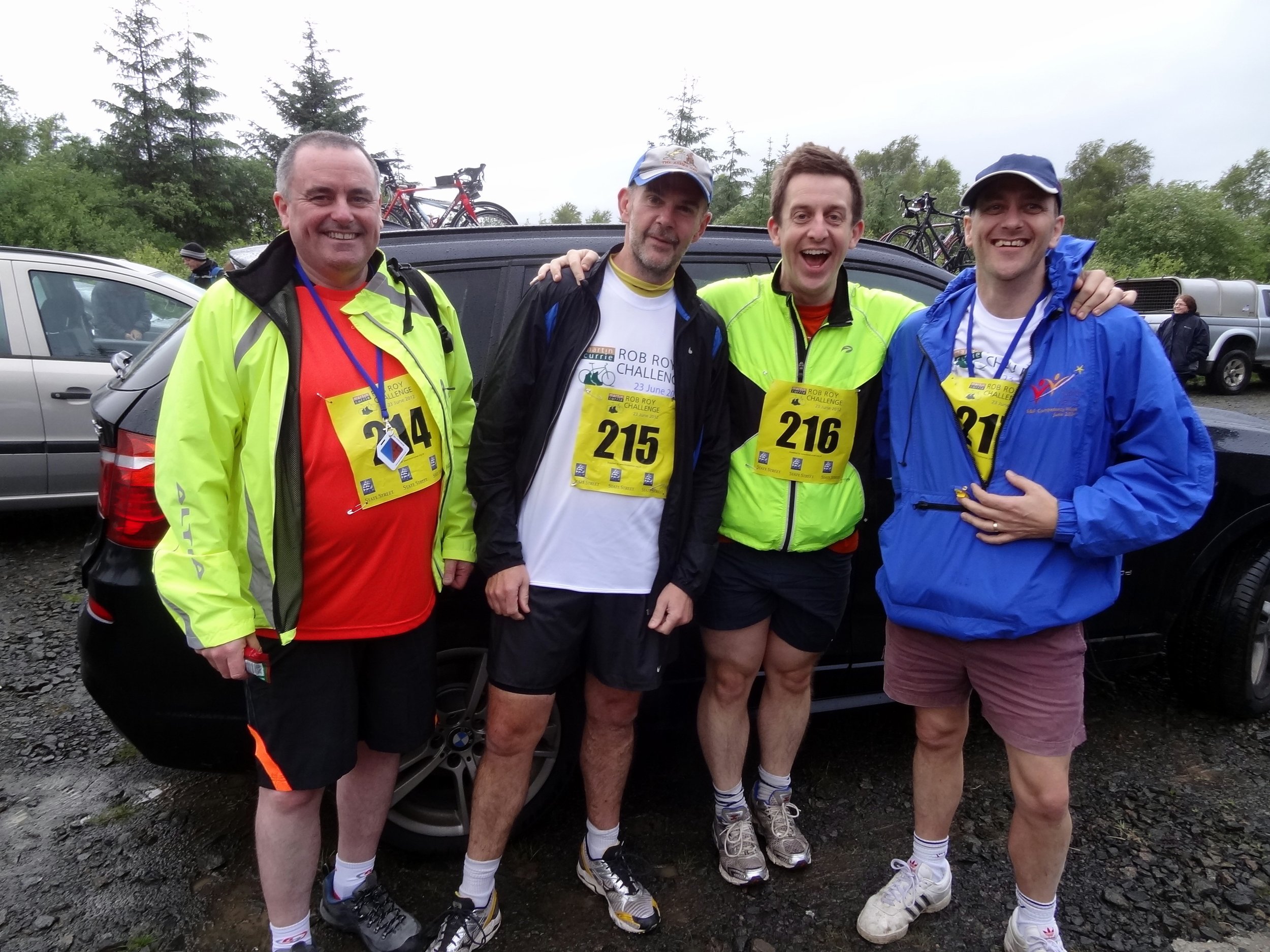
This year marked a significant milestone: the tenth anniversary of our annual boys' County Top trip. The adventure kicked off on a Friday, but this time around, we opted for parallel adventures. While Mark, Matt, and Joel headed over to the Isle of Arran to tackle Goat Fell to claim the highest point of that county, I decided on a different path. Having already summited Goat Fell a few years prior, I set my sights on bagging the high points of present-day East and West Dunbartonshire. Because they are fairly close together, they make for two great summits to link up in a single day. First up on the agenda: Earl's Seat.
Walking Directions
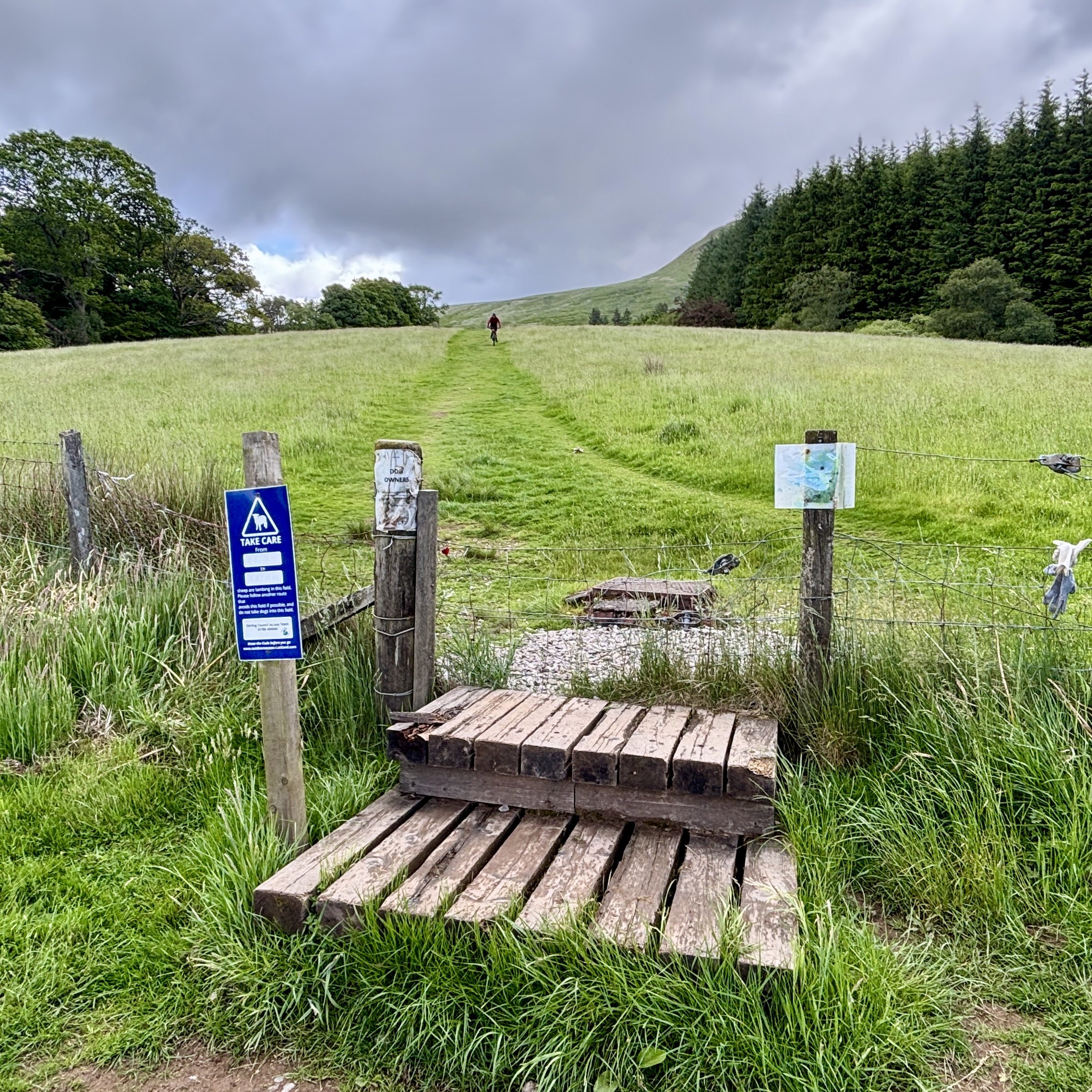
The guidance below will help you navigate but don’t use it as a fully accurate turn-by-turn guide. Always take a map and/or a GPX route and prepare well for the weather and terrain.
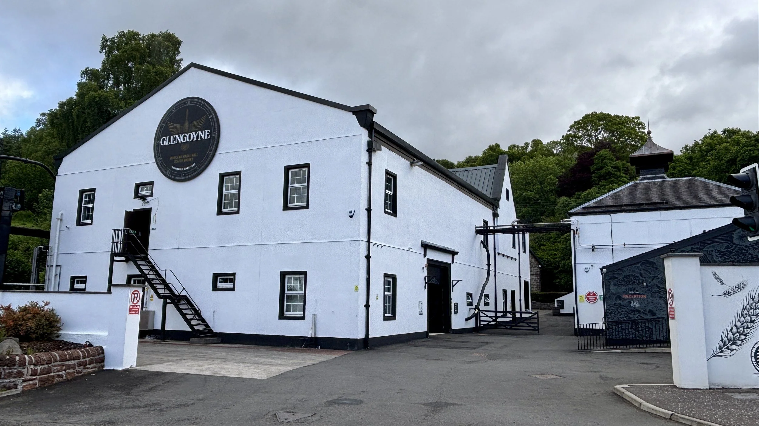
The starting point was an easy forty-minute drive from Glasgow Airport. I headed for the Glengoyne Distillery, which offers great parking. A quick note for anyone planning this route: the distillery car park is officially for customers only. Given it was a quiet day, I chanced it, but there is alternative parking nearby if you prefer to play it safe. From the distillery, the route begins by heading south down the main road for about 100m. After crossing over, you will find a gate leading into a field, and the path begins its slow, steady climb up the hill.
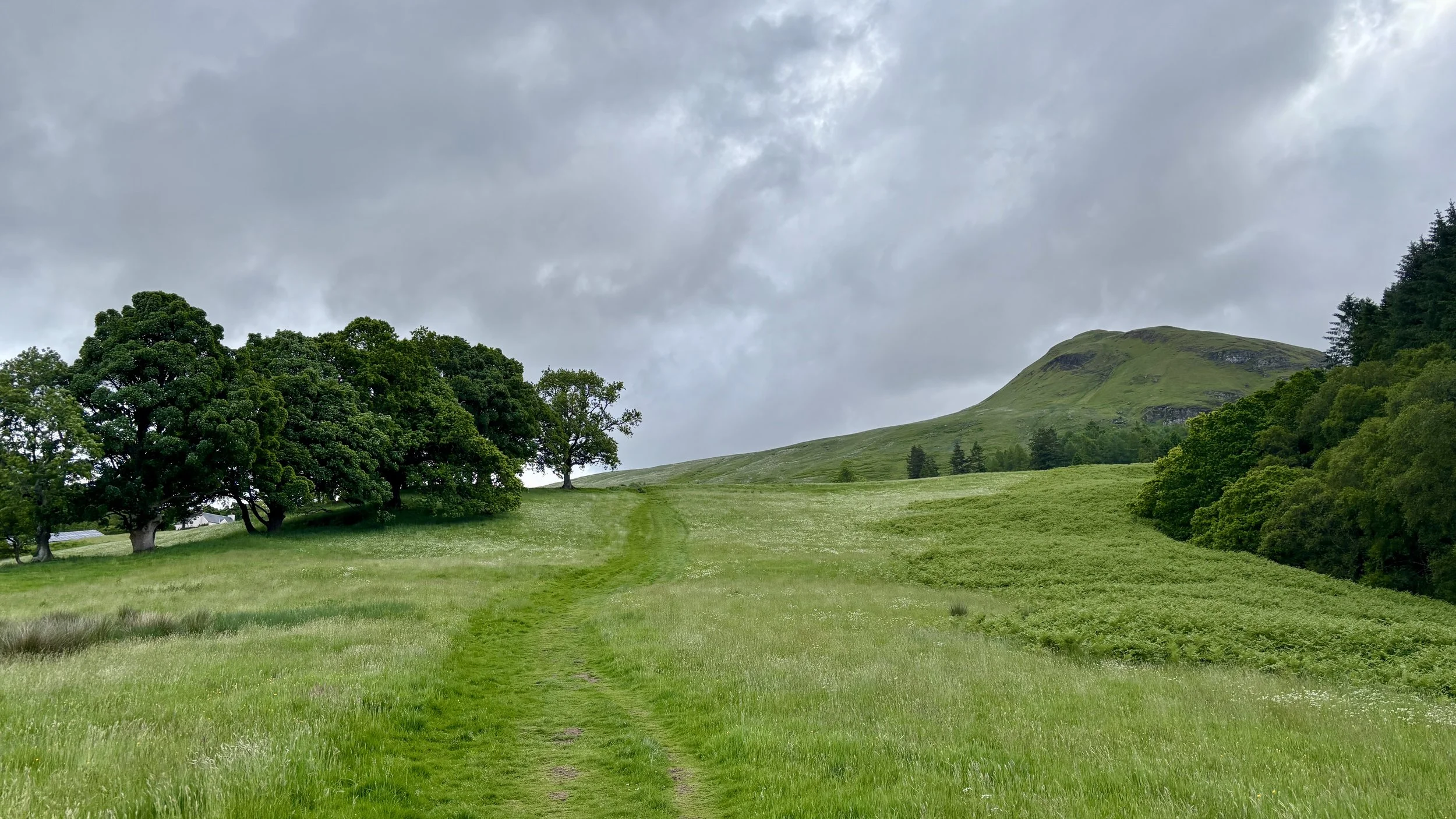
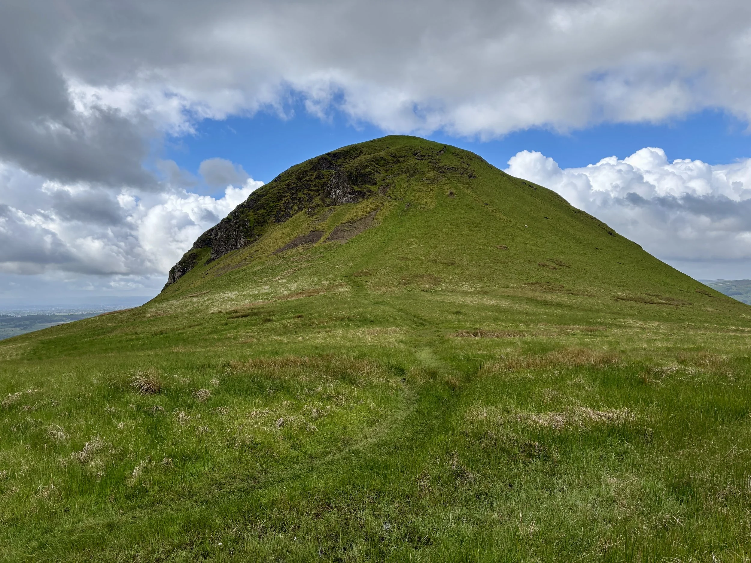
It isn't long before you are greeted by the imposing, steep figure of Dumgoyne Hill. At this stage, the path presents two choices: fork right to take the path straight over the top of Dumgoyne Hill, or keep left to skirt around the side and avoid the climb entirely.
Determined to bag Dumgoyne Hill as well, I took the right-hand path. It is a steep ascent up the southern side, but the effort is richly rewarded. While there isn't a traditional trig pillar at the summit, there is a large, pillar-sized stone and, more importantly, fantastic views stretching right across the valley.
Leaving Dumgoyne Hill, the path heads in a north-north-easterly direction down the opposite side of the hill. I will admit this section was a little daunting: the ground was damp, and the gradient was extremely steep. I don't typically tackle tricky hills on my own, but it wasn't particularly dangerous. With a bit of care, and an undignified slide down one short section, I made it to the bottom safely.
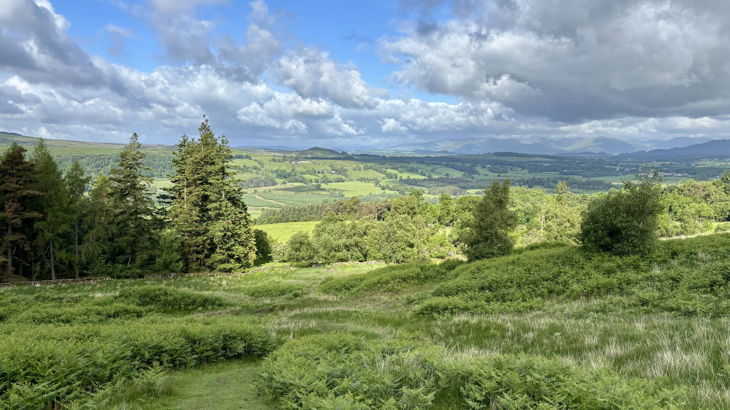
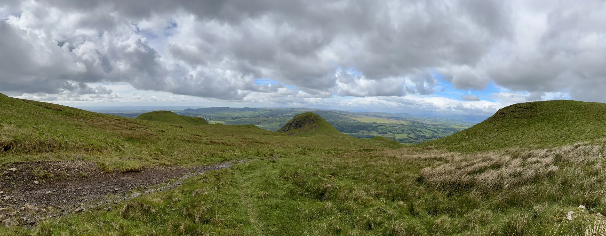
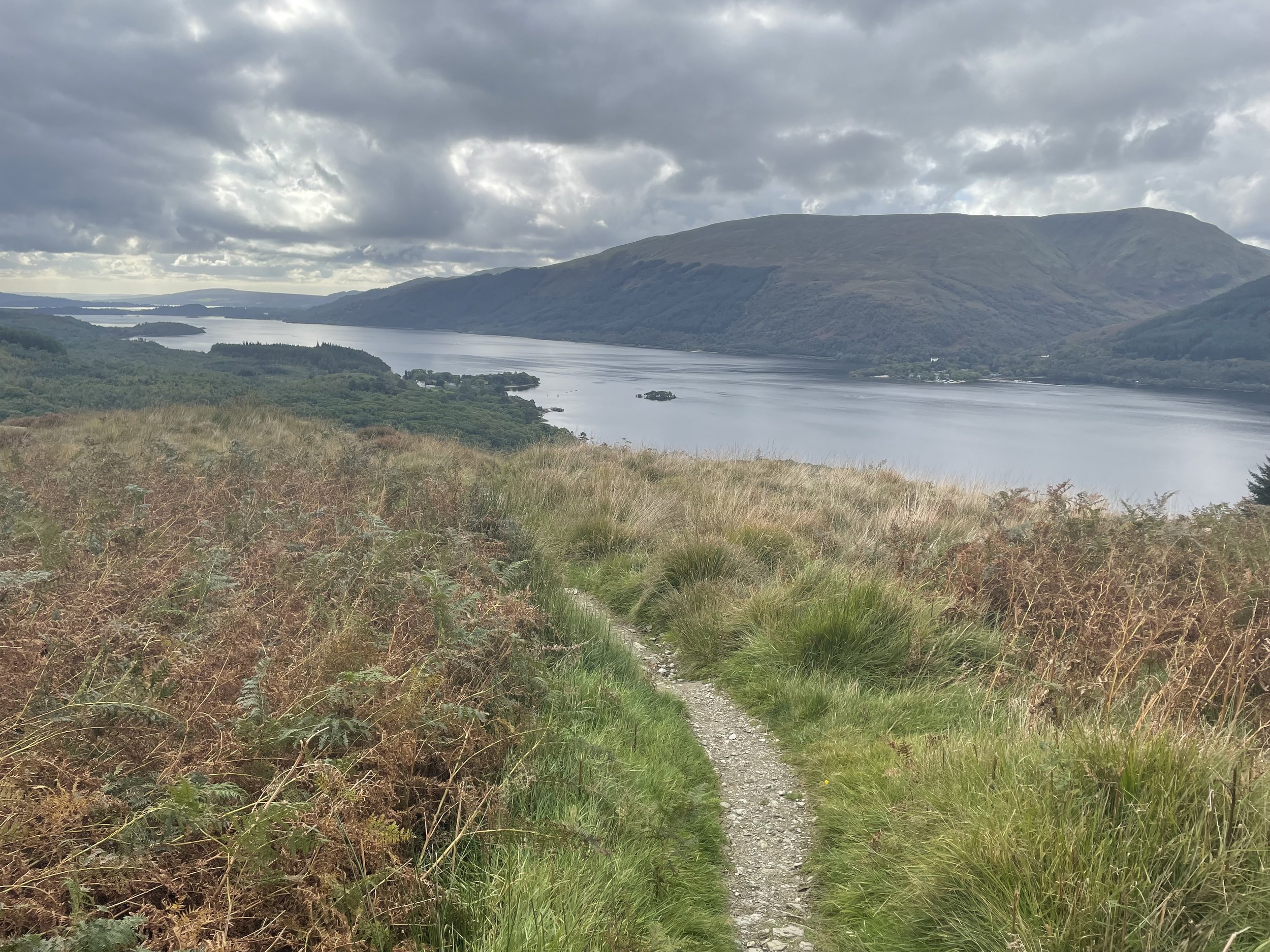
Continuing northeast, the route seamlessly joins back up with the main bypass path you would have taken had you skipped Dumgoyne Hill. From here, it becomes a steady, albeit slightly boggy, ascent towards a subsidiary top called Garloch Hill, marked by a few cairns. Pushing on towards Earl's Seat, the landscape opens up, and you can spot the Trig Pillar from quite a distance: a perfect visual target to aim for.
After taking in the summit of Earl's Seat, I decided against simply retracing my steps. Instead, I opted to turn the walk into a circular route. Heading north-west, the path leads towards Ballagan Tops before taking a westerly turn to rejoin the original ascent path just east of Garloch Hill.
From there, it was a straightforward walk retracing my steps back to the distillery. This time, however, I took the northerly path to comfortably bypass Dumgoyne Hill.
All in all, the route took about three hours: a highly enjoyable morning on the hills and a fantastic start to the weekend's county top bagging.
Points of Interest along or near to the Route
Glengoyne Distillery: Established in 1833, this distillery is unique for being located on the Highland Line, the geographical divide between the Highlands and Lowlands. Uniquely, the distillery sits in the Lowlands, while its maturation warehouses sit across the road in the Highlands.
The Campsie Fells: These are a range of volcanic hills formed during the Carboniferous period. They are composed largely of basalt, creating the dramatic crags and scree slopes visible from the surrounding valleys, including the steep face of Dumgoyne.
The Highland Boundary Fault: The route passes over a significant geological divide. This fault line runs across Scotland from Arran in the west to Stonehaven in the east, separating the flatter, sedimentary Lowlands from the rugged, metamorphic Highlands.
Dumgoyne: A striking volcanic plug that rises sharply from the edge of the Campsie Fells. It formed when magma solidified within an ancient volcanic vent, leaving behind the resistant core that now stands as a prominent landmark. Its steep, symmetrical profile has been further shaped by glacial erosion, but it is not a crag‑and‑tail formation; instead, it is simply the exposed remnant of a Carboniferous volcano.