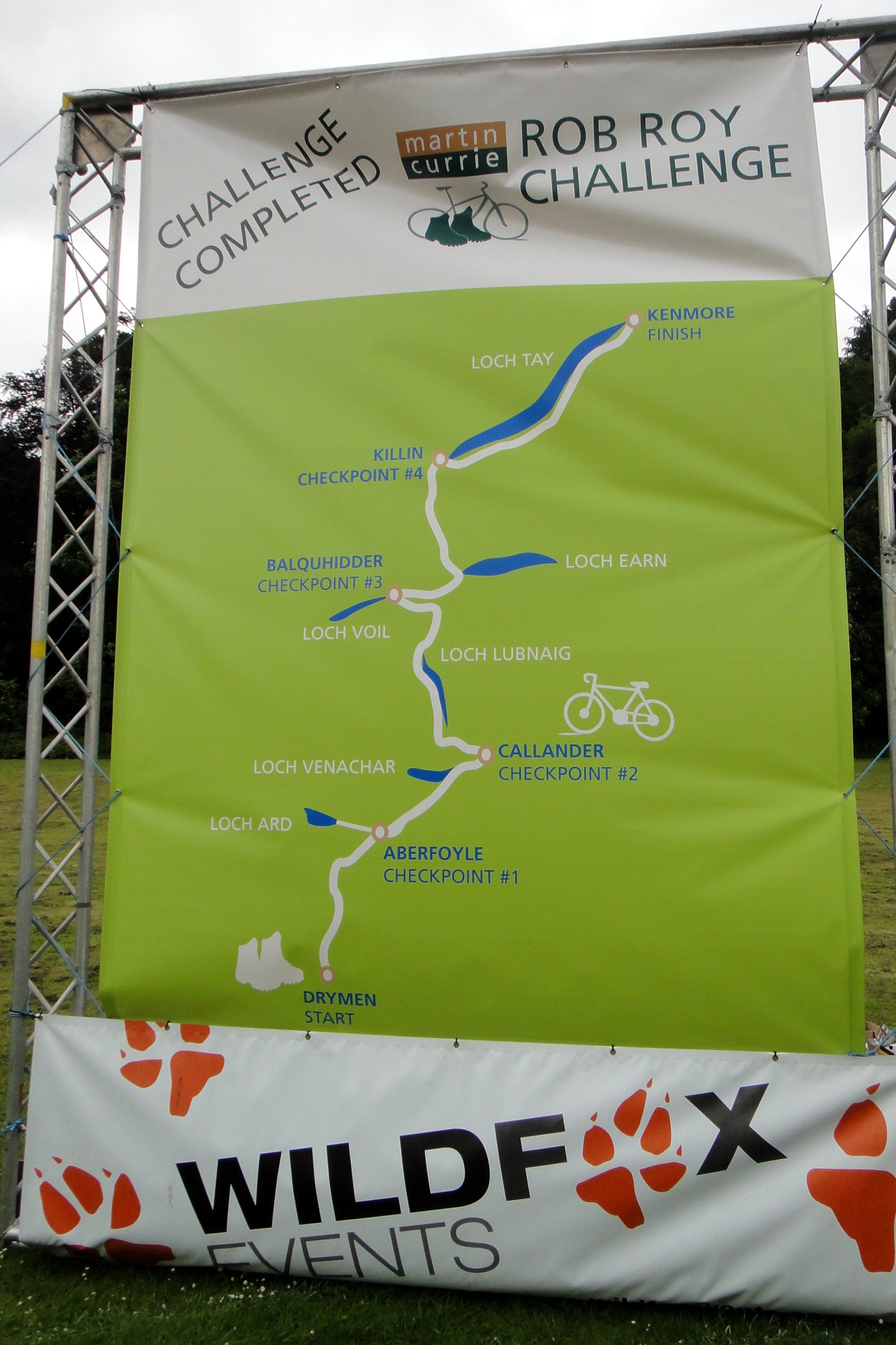
The Rob Roy Challenge

Glen Ogle Viaduct (official event photo)
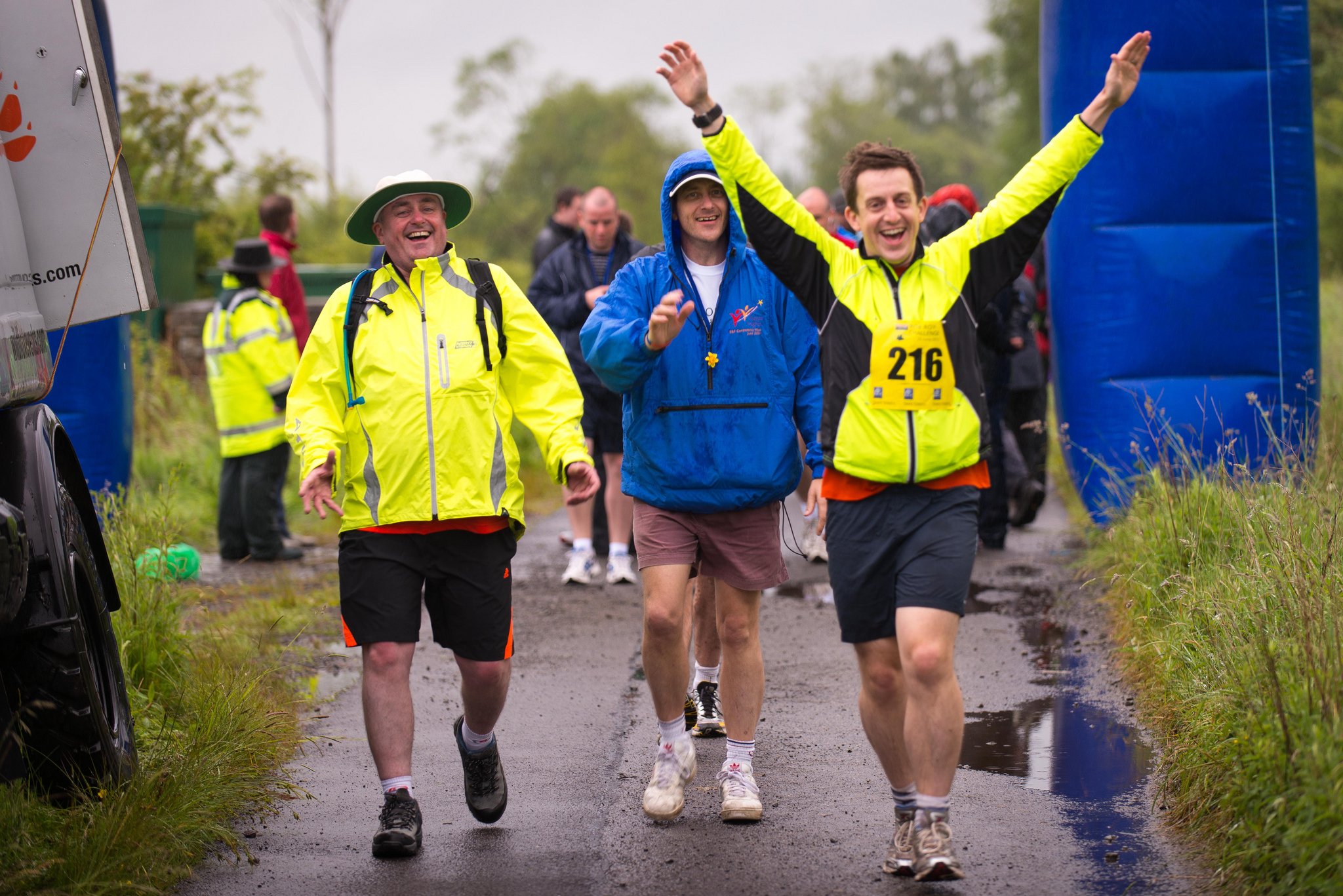
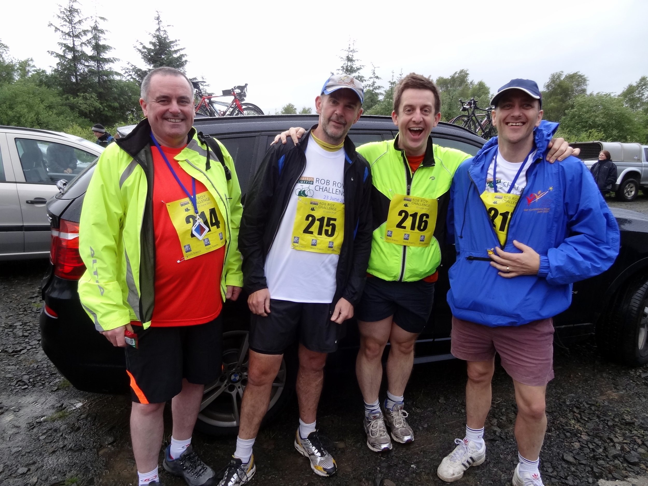
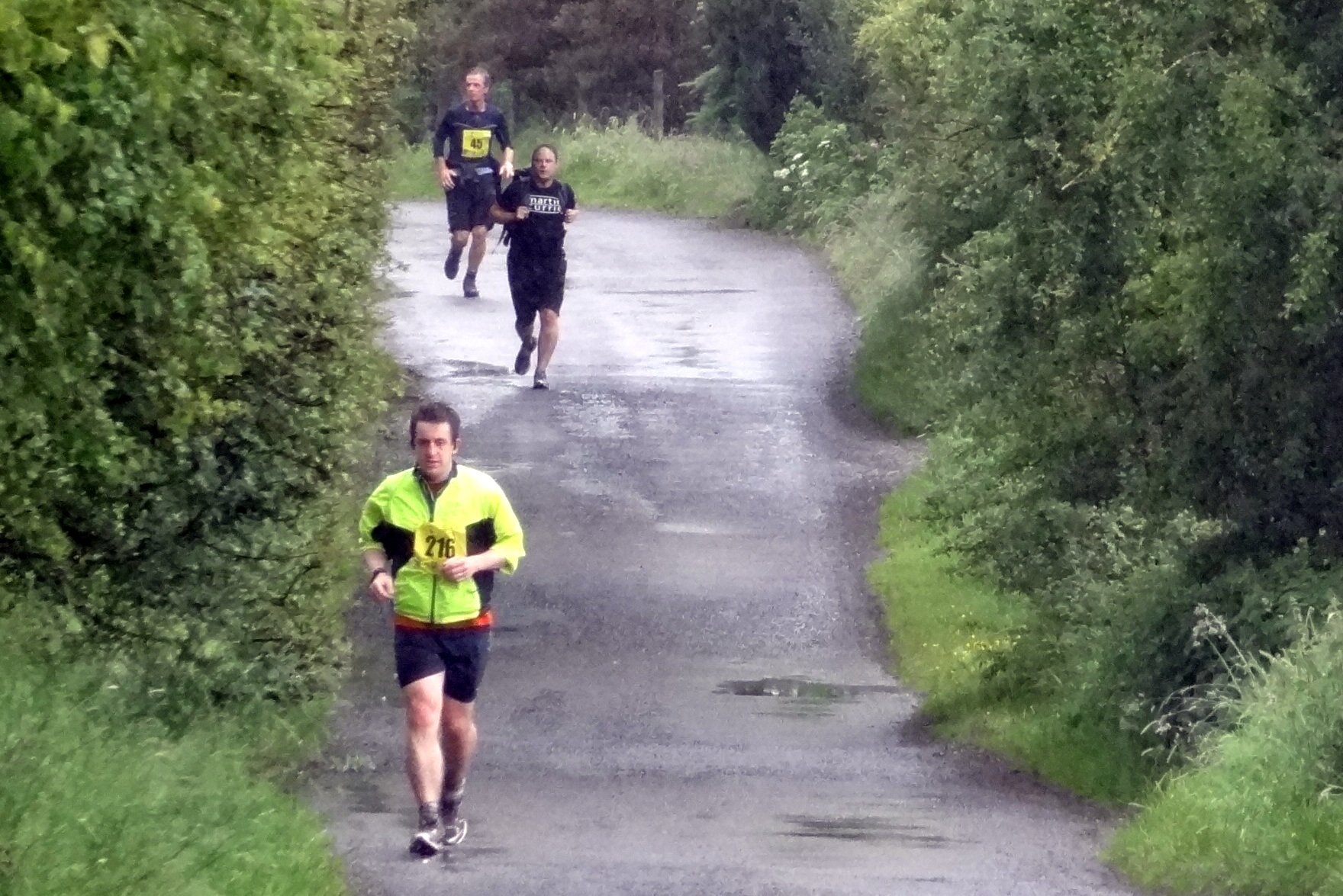
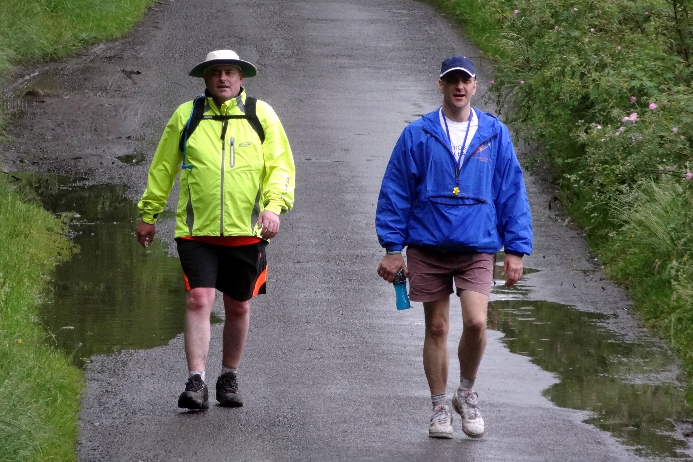
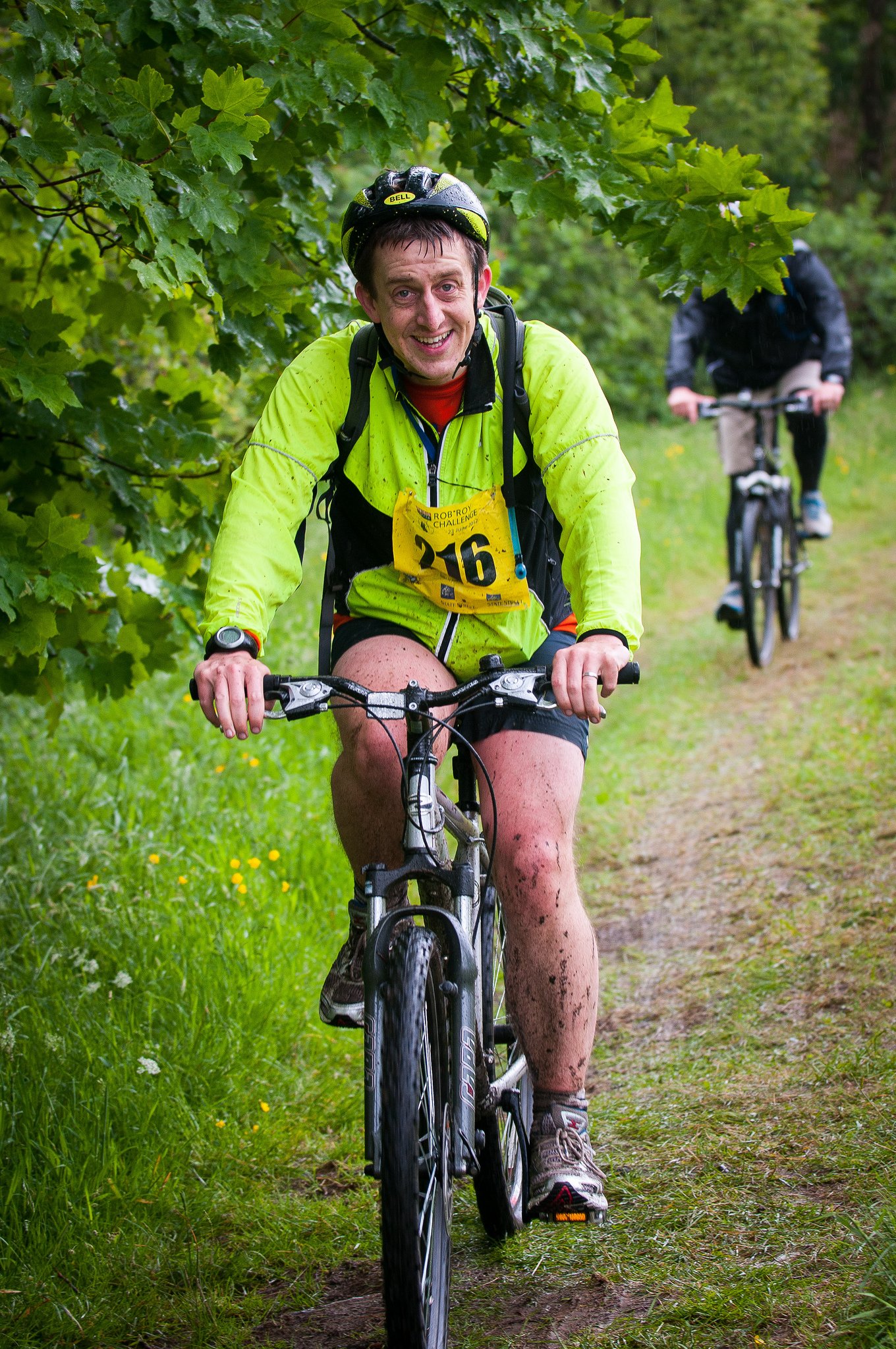
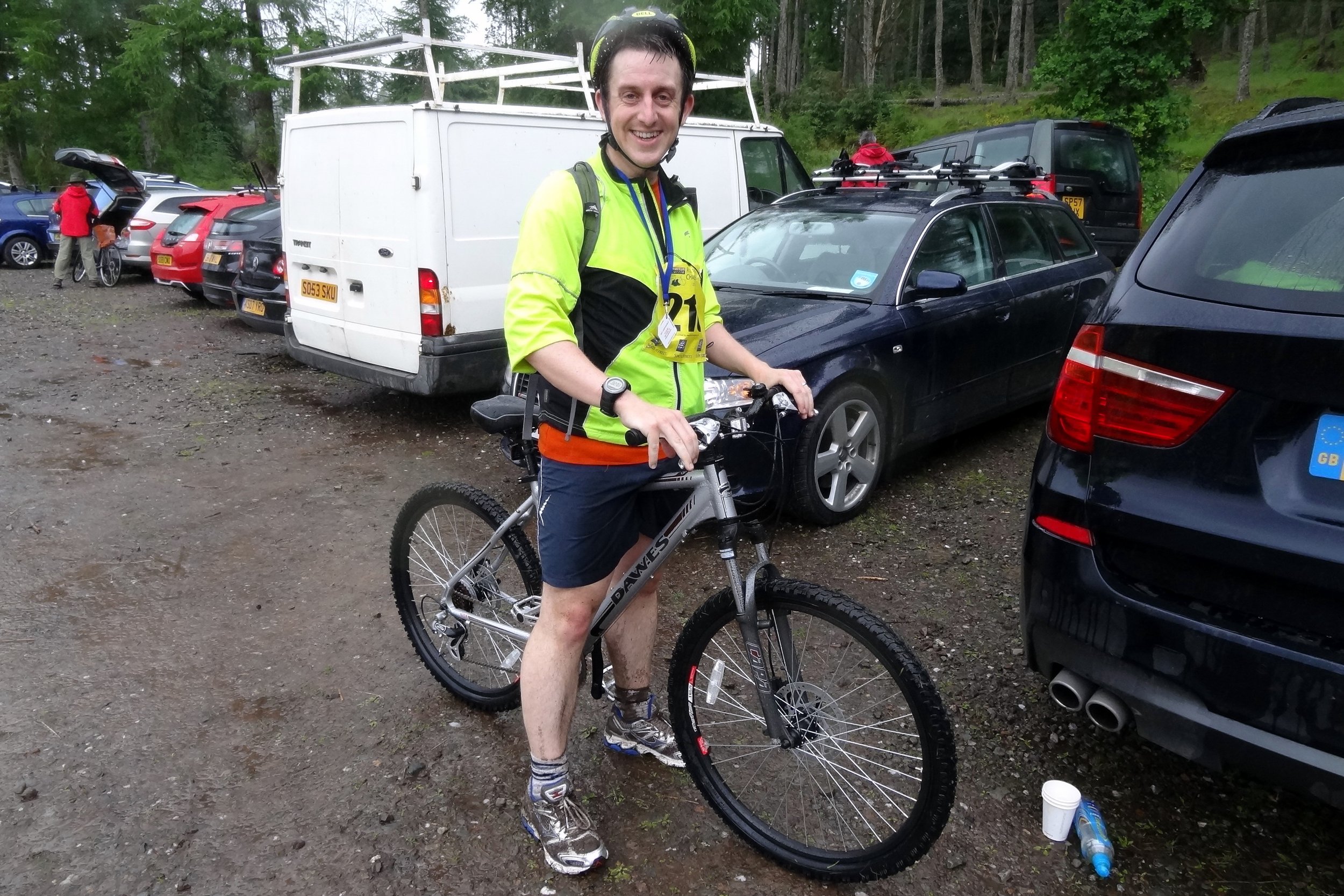
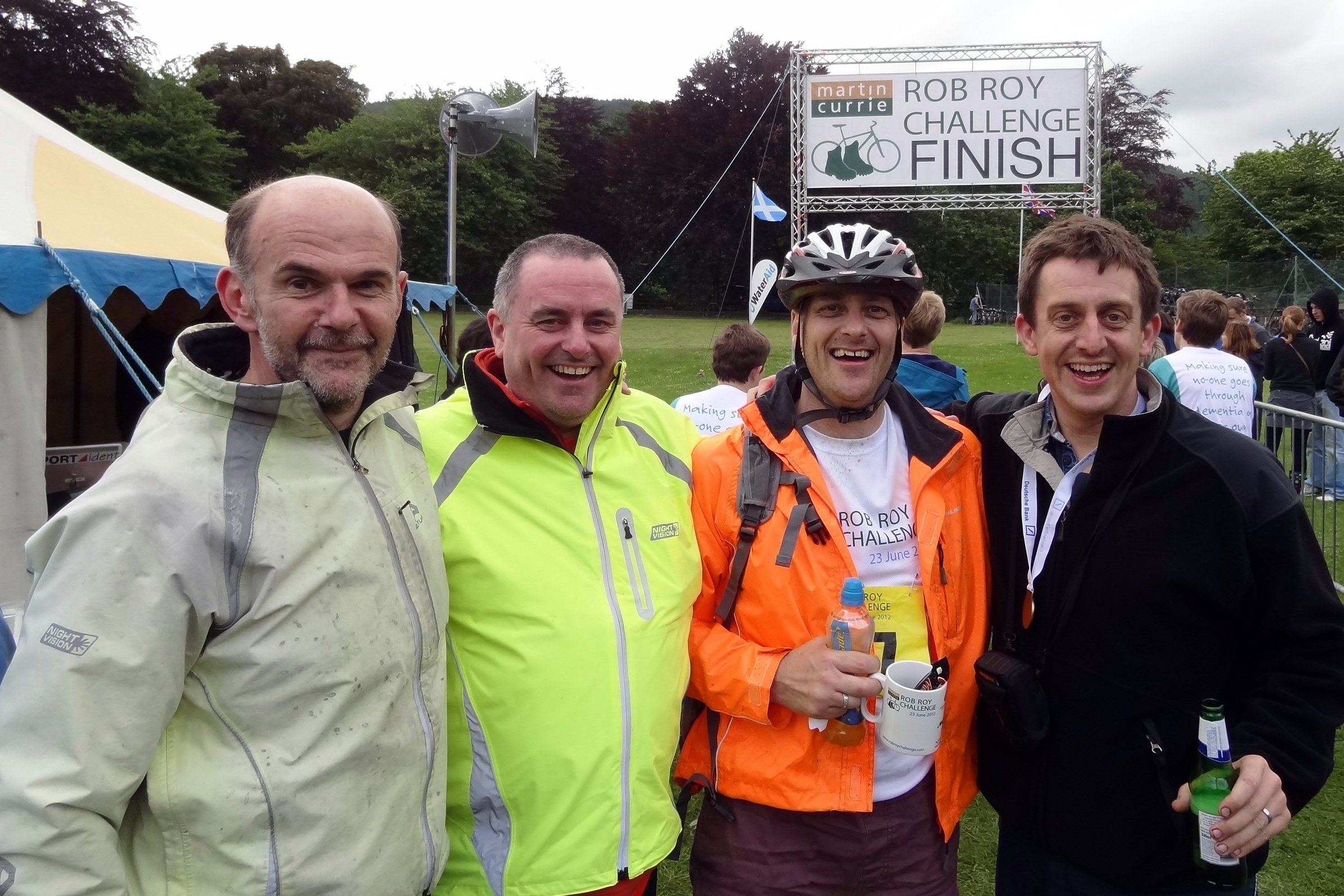
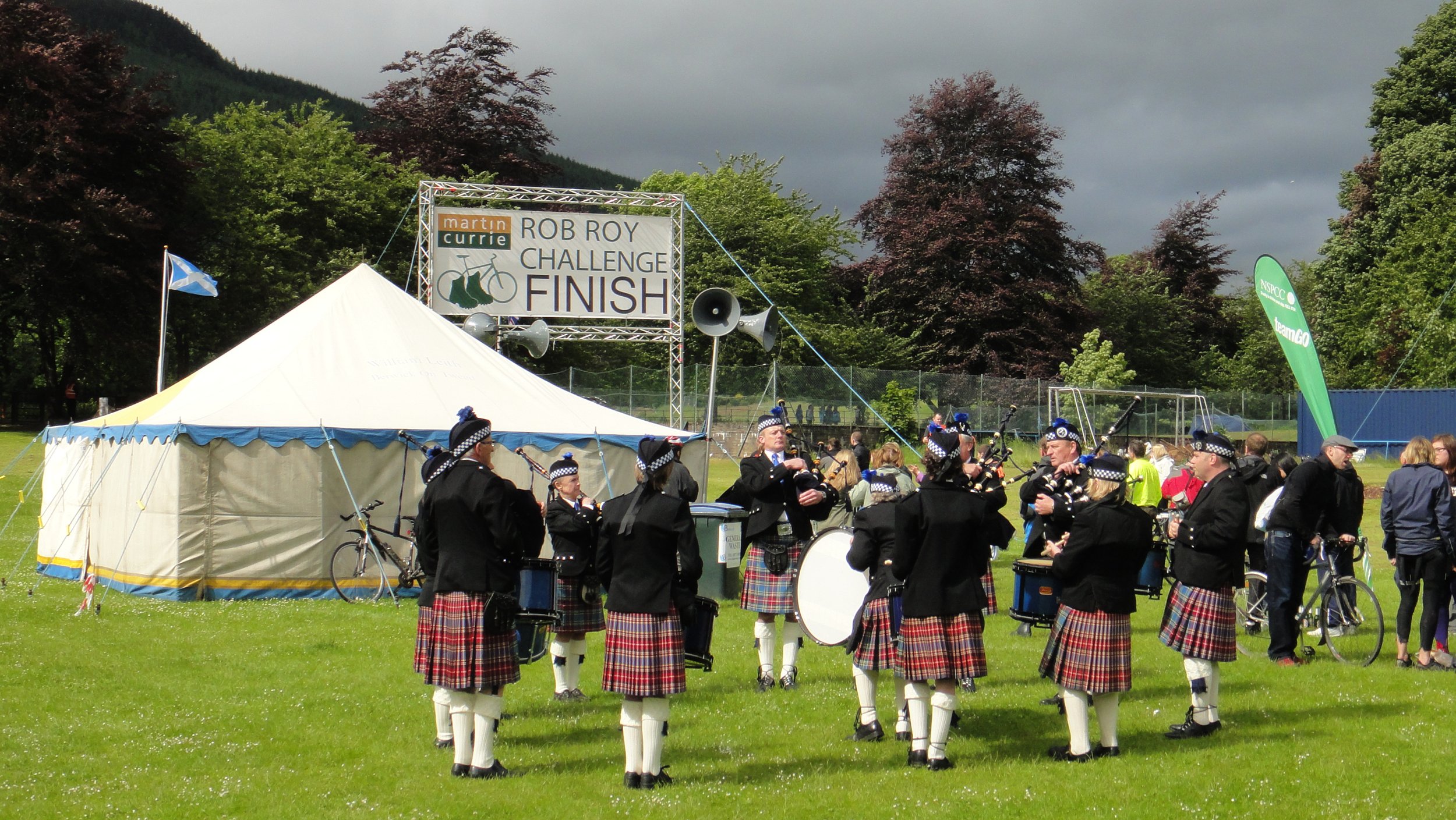
The Rob Roy Challenge was a run/bike event along the Rob Roy Way between Drymen and Kenmore in Scotland. I completed it with a group of friends in 2012 as a new challenge, having done several London to Paris cycle rides together. I’m writing this 10 years later so my memory of the details is a little hazy. However, from the many photos that we took it seemed like we had a lot of fun on a very cloudy and drizzly day. So far it’s the only mixed run/cycle event that I’ve done although I’m keen to do more.
Note that my Garmin didn’t save the GPX track so I had to recreate the route on RideWithGPS. The actual distances and elevations may have been slightly different to what I have below.
Section 1: The Run
Start: Drymen Road Cottage Car Park, 4 miles north of Drymen on the Rob Roy Way
Finish: Wheels Cycling Centre, Invertrossachs Road, Callander, FK17 8HW
Distance: 23.6 km (14.6 miles)
Elevation change: +338m / -363m (Net -25m)
Section finish time: 2 hours 55 minutes
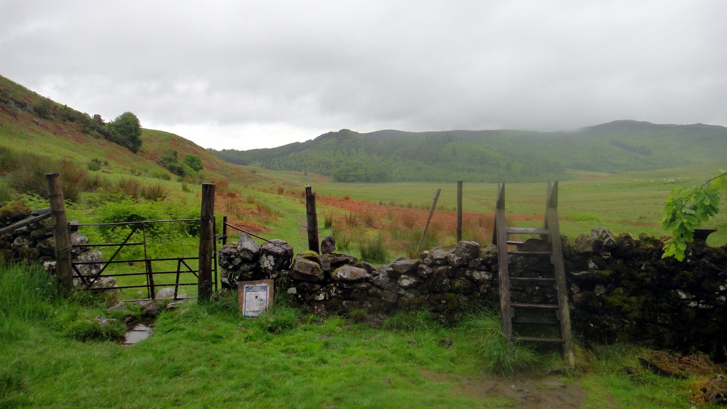
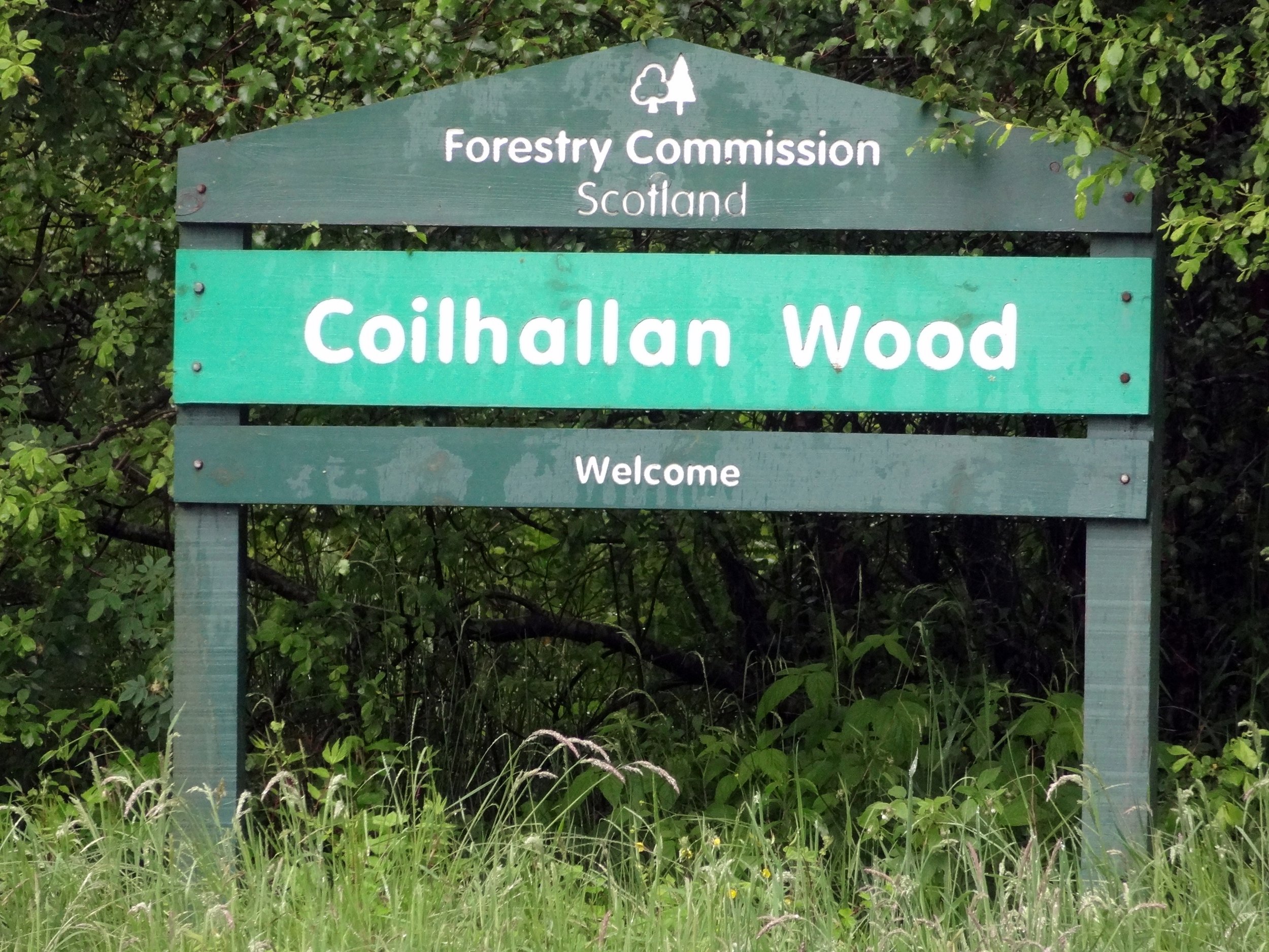
Other routes touched (walk): Rob Roy Way, Mary Queen of Scots Way, Coilhallan Wood Trail
Other routes touched (cycle): NCN 7, EV1


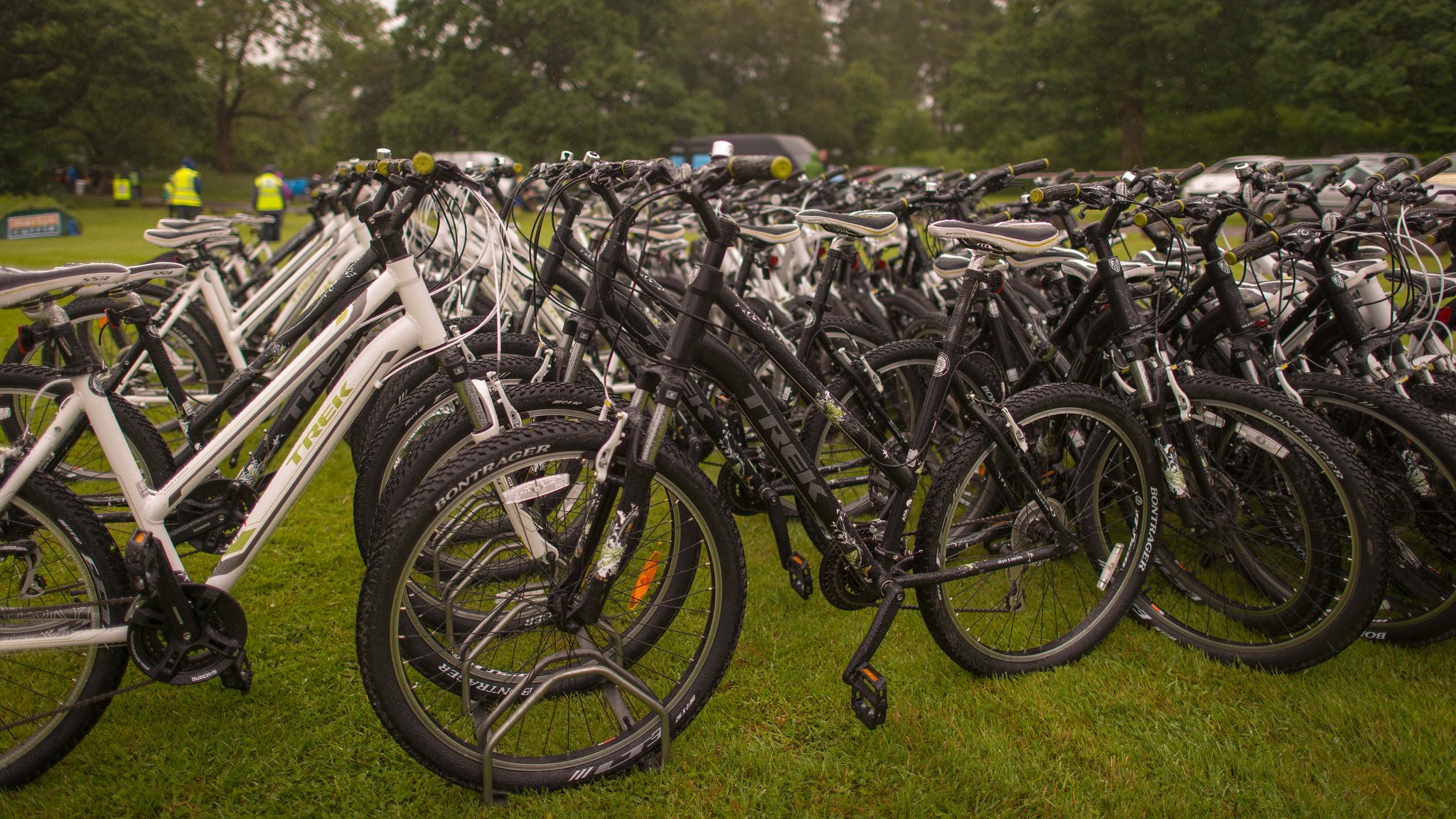
Section 2: The Cycle
Start: Wheels Cycling Centre, Invertrossachs Road, Callander, FK17 8HW
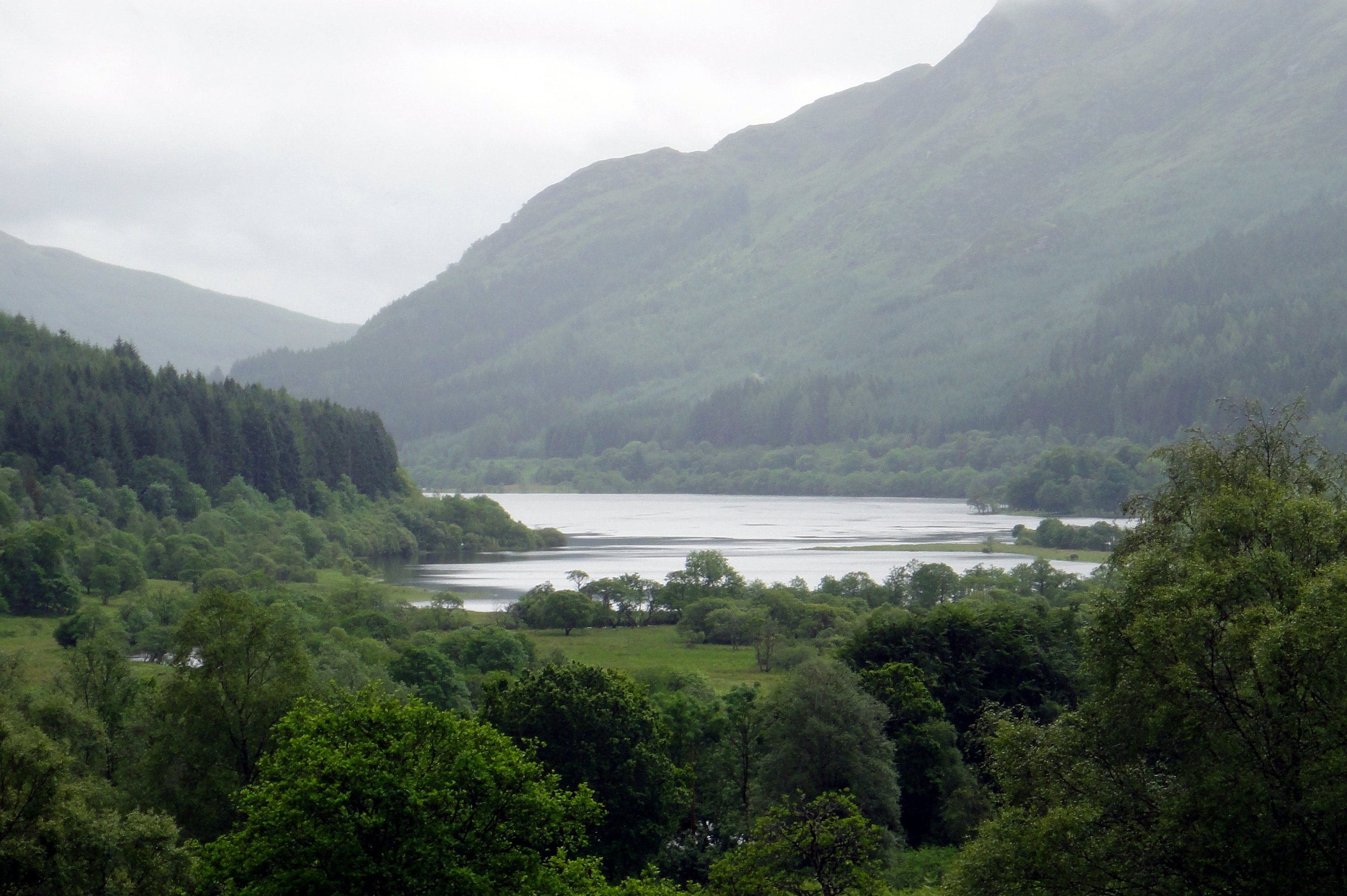
Finish: Field on the south side of Loch Tay, west of Kenmore
Distance: 64.4 km (40 miles)
Elevation change: +827m / -756m (Net -71m)
Section finish time: 5 hours 23 minutes
Other routes touched (walk): Rob Roy Way, Coilhallan Wood Trail, Great Trossachs Path, Three Saints Way
Other routes touched (cycle): NCN 7, EV1


Total Route
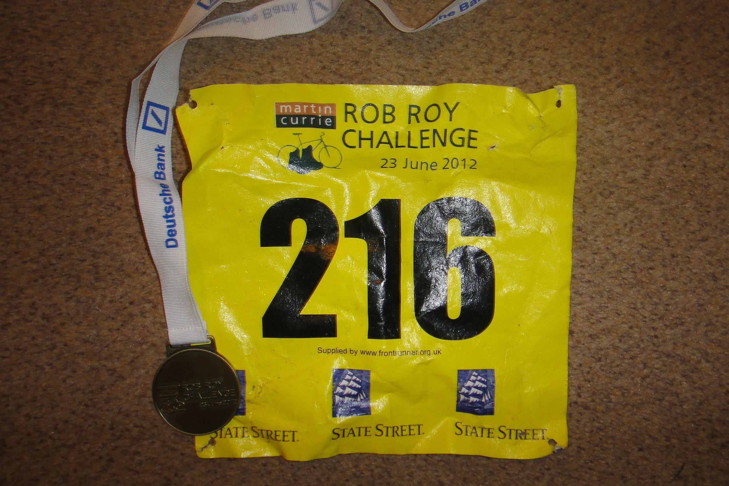
Date completed: 23rd June 2012
Distance: 88.5 km (55 miles)
Elevation change: + 1,201m / -1,156m (Net +45m)
Finish time: 8 hours 18 minutes
GPX File: get via Buy Me a Coffee
Links: Rob Roy Way, Drymen, Aberfoyle, Callander, Balquhidder, Killin, Kenmore