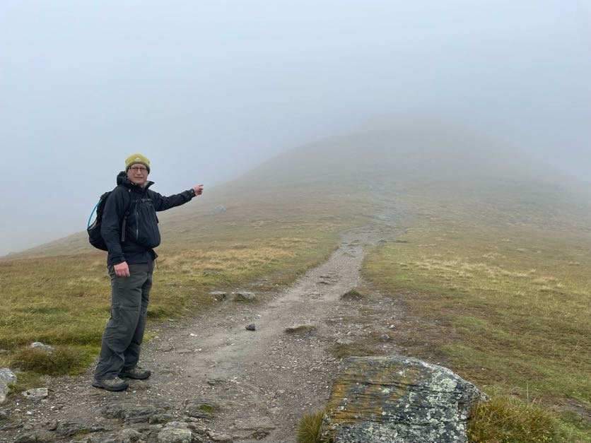
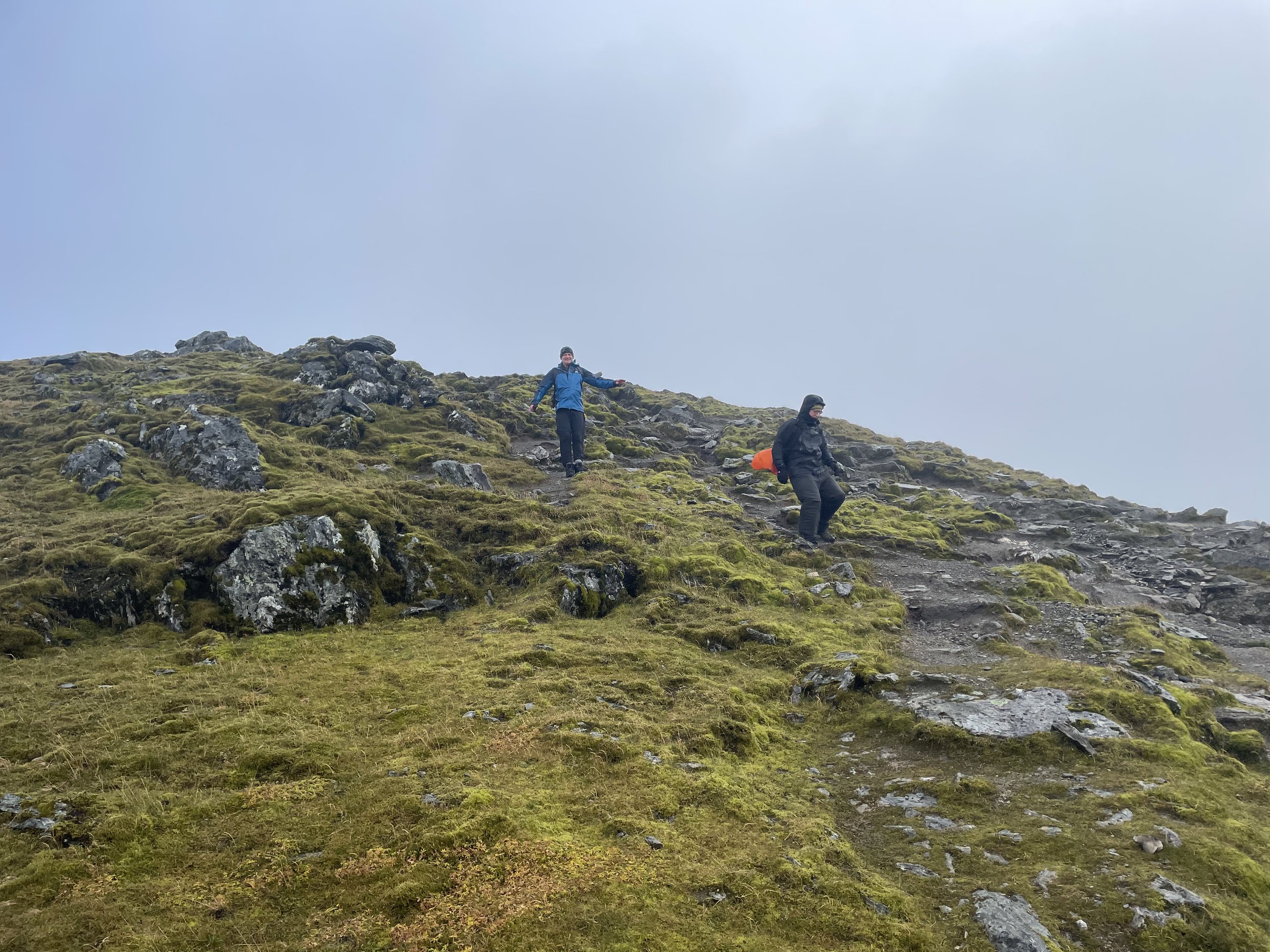
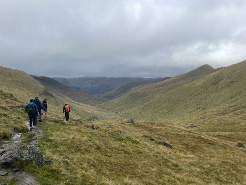
Descending Ben Lawyers towards Beinn Ghlas
Also known as: Beinn Labhair
Significance: High Point for the Historic County of Perthshire, Council Top for Perth and Kinross, Loch Rannoch and Glen Lyon NSA High Point
Member of: Munros, Marilyns
Parent Peak: Ben Nevis
Nearest Higher Neighbour: Aonach Beag
Elevation: 1,124m
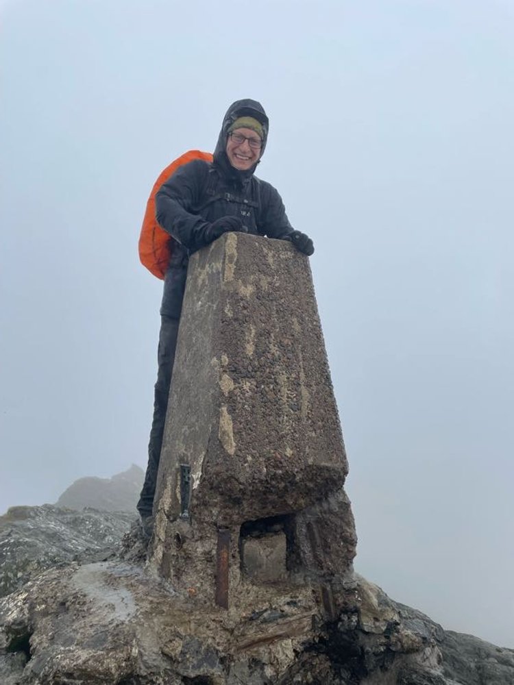
Date climbed: September 21st 2023
Coordinates: 56° 32' 42'' N, 4° 13' 15'' W
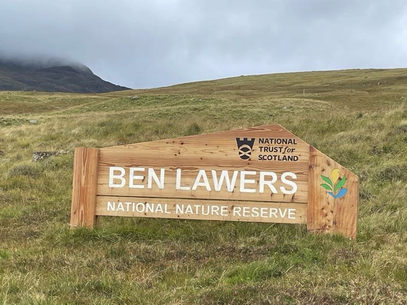
Route Start & Finish: National Trust of Scotland Ben Lawers Car Park, Killin, FK21 8TY
Route Distance: 11.4 km (7.1 mile)
Route Elevation change: +/- 838m
Subsidiary tops on route: Beinn Ghlas
GPX File: get via Buy Me a Coffee
Other routes touched (walk): Ben Lawers Trail
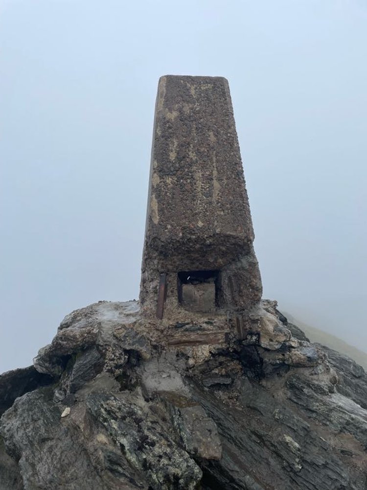
OS Trig Pillar: TP1281 - Ben Lawers
Pubs / Cafes on route: N/A
Map: Ben Lawers & Glen Lyon Map | Loch Tay, Killin & Kenmore | Ordnance Survey | OS Explorer Map OL48
Guidebook: The UK's County Tops (Jonny Muir)
Links: Wikipedia: (Perthshire / Ben Lawers), Peakbagger
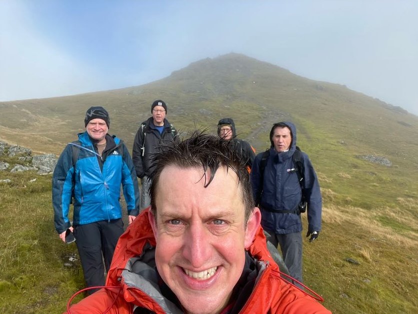
This was a day hike as a part of a 4-day Scottish County Top trip to bag Ben Lawers, Ben Vorlich, Ben Lomond and the Hill of Stake. First up was Ben Lawers, the 3rd highest UK Historic County Top and the highest of this particular trip.
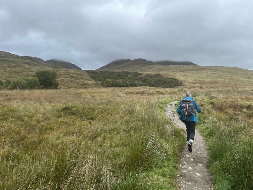
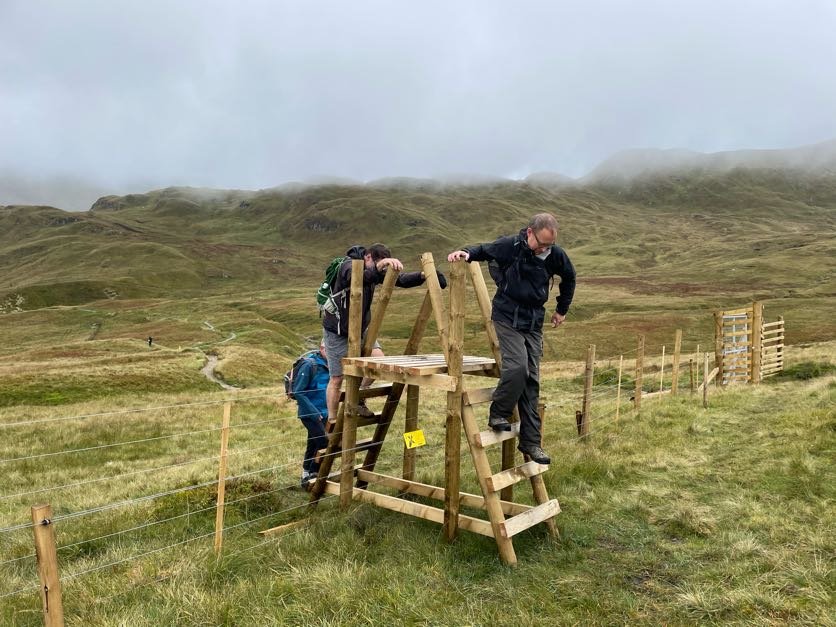
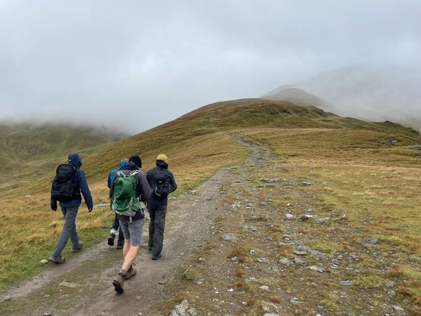
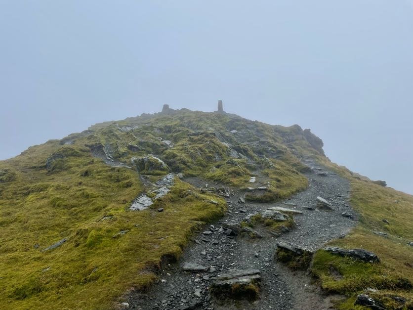
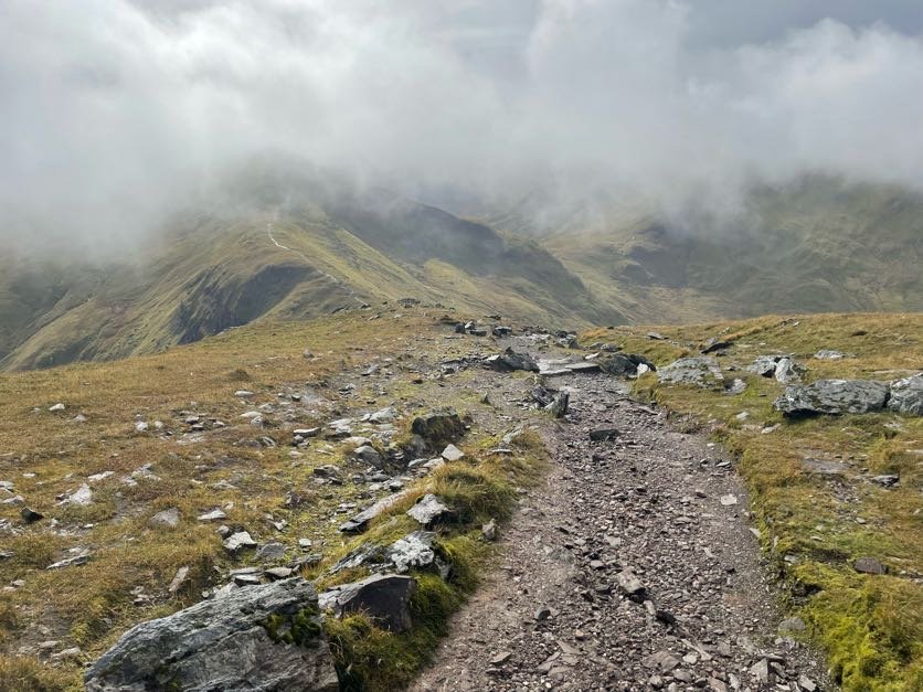
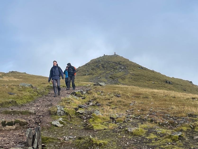
After a flight from London and a 2 hour drive from Glasgow we arrived at the National Trust car park at the start of the trail. The Ben Lawers Trail is well marked and maintained making navigation very easy. We also had good visibility on the day, although the summit was wet and very windy. The trek to the summit passes over Beinn Ghlas, a 1103 m Munro, followed by a small descent before a steep climb to the Ben Lawers Trig Pillar.
For the return to the car park you can either retrace your steps over Beinn Ghlas or take an alternative path to the west from the col between the two peaks. This alternative route rejoins the main Ben Lawers Trail by a fence at 2.2 km from the car park.