Cathkin Braes: Glasgow City County Top
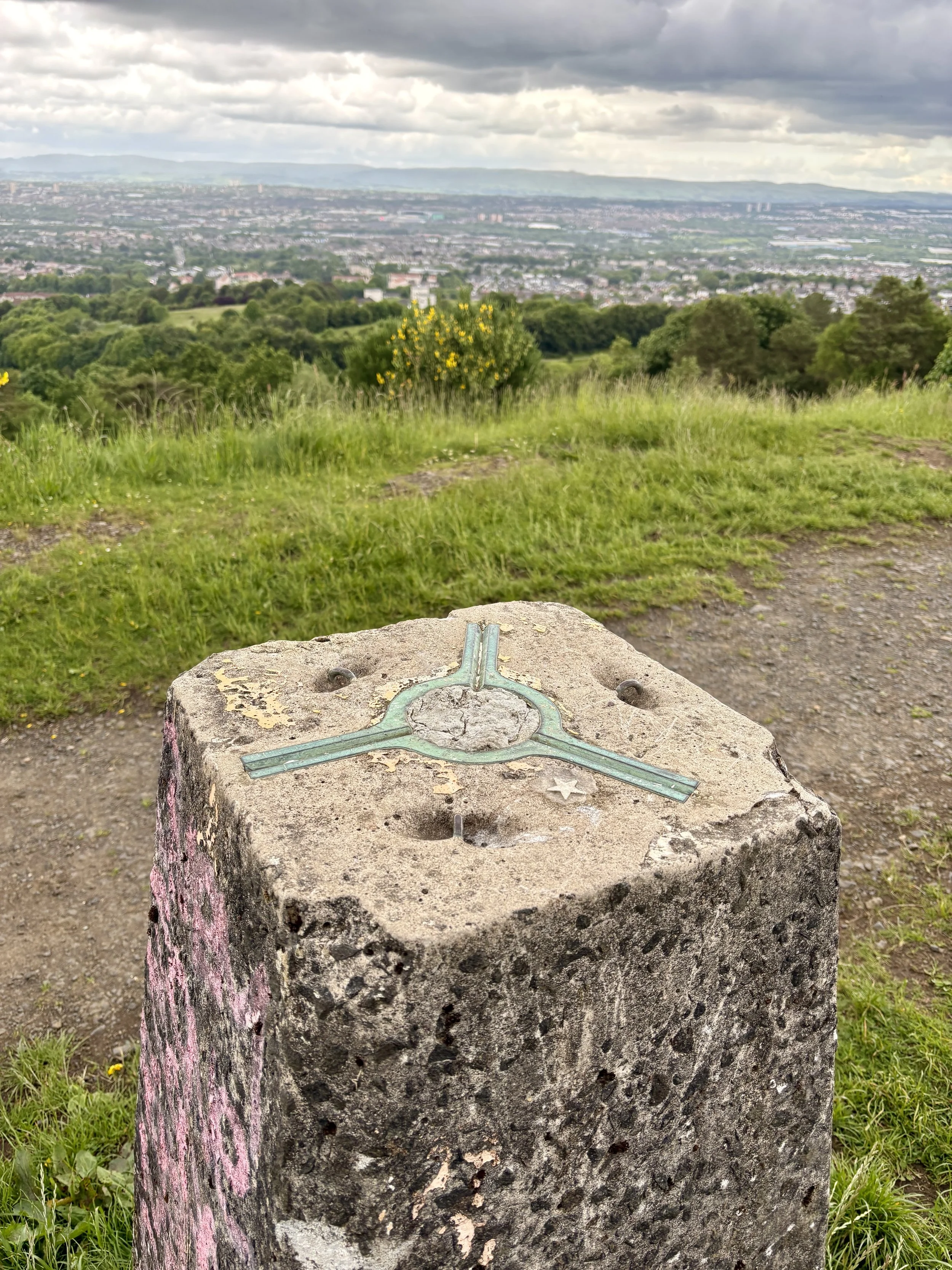
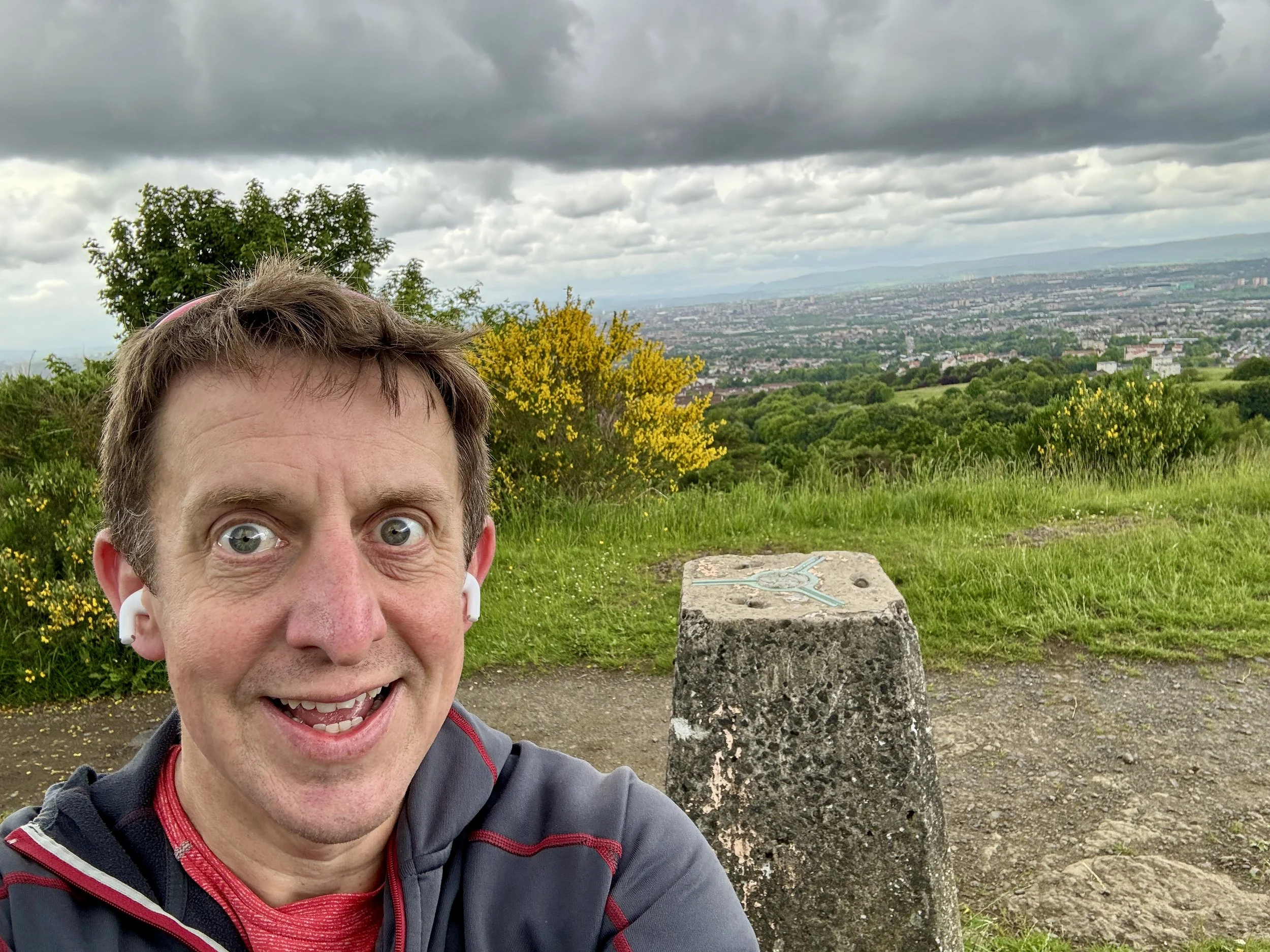
View over Glasgow from the OS Trig Pillar
Significance: Present-day County Top for Glasgow City
Historic County: Lanarkshire, of which Culter Fell is the Historic County Top
Member of: N/A
Nearest Higher Neighbour: Corse Hill
Elevation: 200m
Date climbed: June 5th 2026
Coordinates: 55° 47' 56'' N, 4° 12' 41'' W
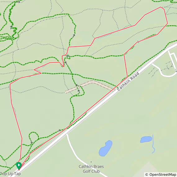
Route Start & Finish: Cathkin Brae Bike Park Top Car Park, B759, Glasgow, G76 9EY
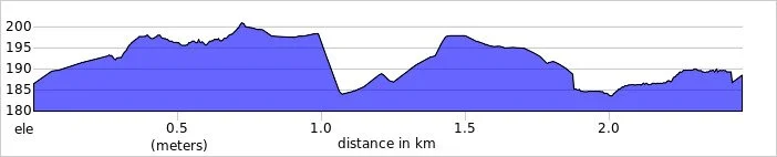
Route Distance: 2.3 km (1.42 miles)
Route Elevation change: +/- 31m
GPX File: get via Buy Me a Coffee
Other routes touched (walk): None
OS Trig Pillar: None
Pubs / Cafes on route: None
Map: Glasgow Map | Paisley, Rutherglen & Kirkintilloch | Ordnance Survey | OS Explorer Map 342
Links: Wikipedia: (Glasgow / Cathkin Braes), Peakbagger, Hillbagging
Cathkin Braes is the Present-day County Top for Glasgow City. I bagged it in 2026 on our annual County Top weekend trip, along with the present-day County Tops of East and West Dunbartonshire and the Historic County Tops of Argyll and Ross and Cromarty.
It had already been a successful hiking day, having conquered both Earl's Seat and Duncolm to successfully claim the high points of East and West Dunbartonshire. This was part of our broader weekend plan and a parallel adventure: while I was out ticking off these local summits, Mark, Matt, and Joel were over on the Isle of Arran to tackle Goat Fell.
With a couple of hours to spare before I needed to drop my hire car back at Glasgow Airport and reunite with the boys, I realised I had the perfect window for a quick detour. I have been saving Cathkin Braes for a few years, waiting for an opportunity to comfortably squeeze it into an itinerary. As the county top for Glasgow City, it is highly accessible and makes for a very straightforward, short walk.
Walking Directions
The guidance below will help you navigate but don’t use it as a fully accurate turn-by-turn guide. Always take a map and/or a GPX route and prepare well for the weather and terrain.
The drive over from Kilpatrick Braes was quick and easy. I pulled into the main Cathkin Braes car park located just off the B759 road. It is a good size, and being late on a Friday afternoon, it was full of people out enjoying a walk with their dogs.
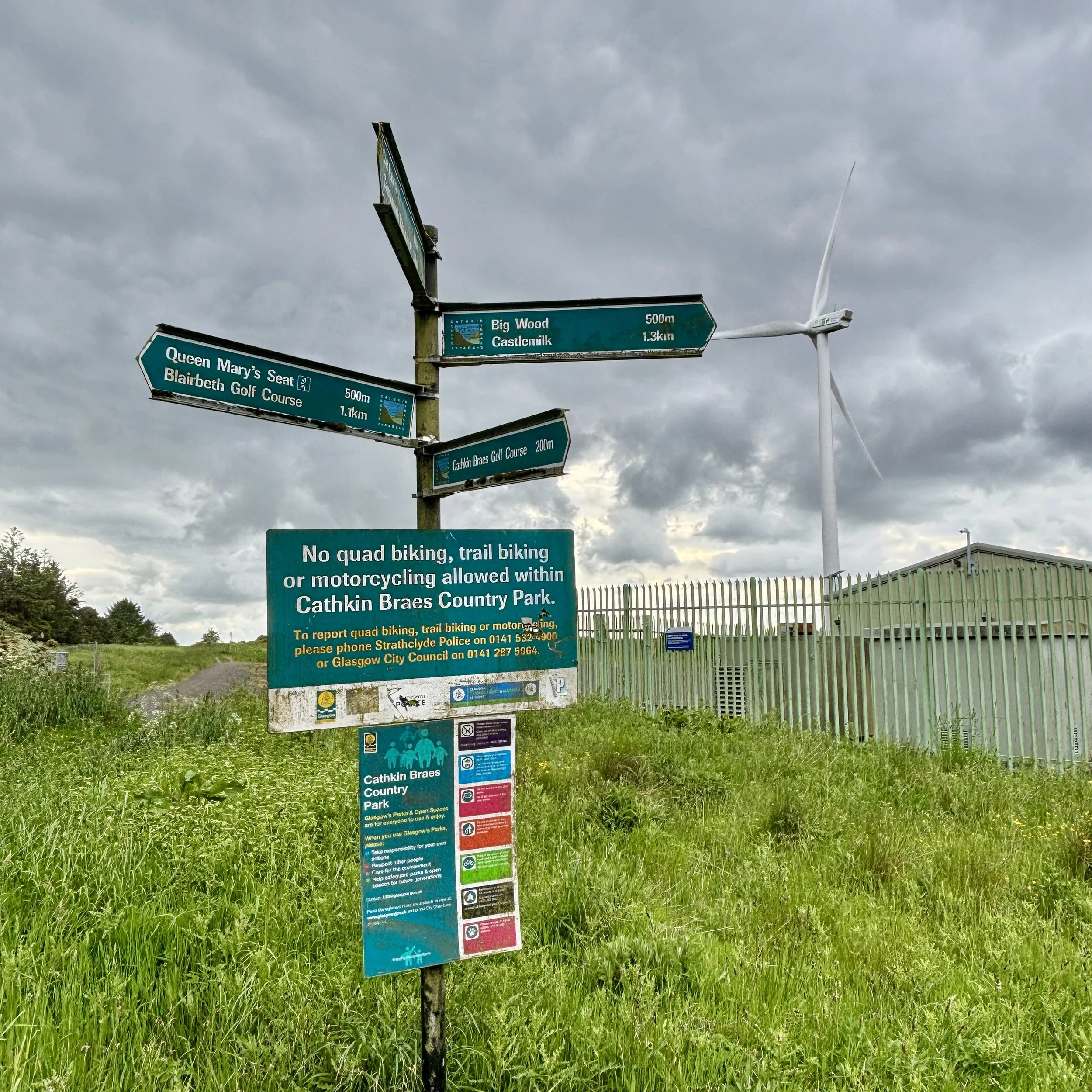
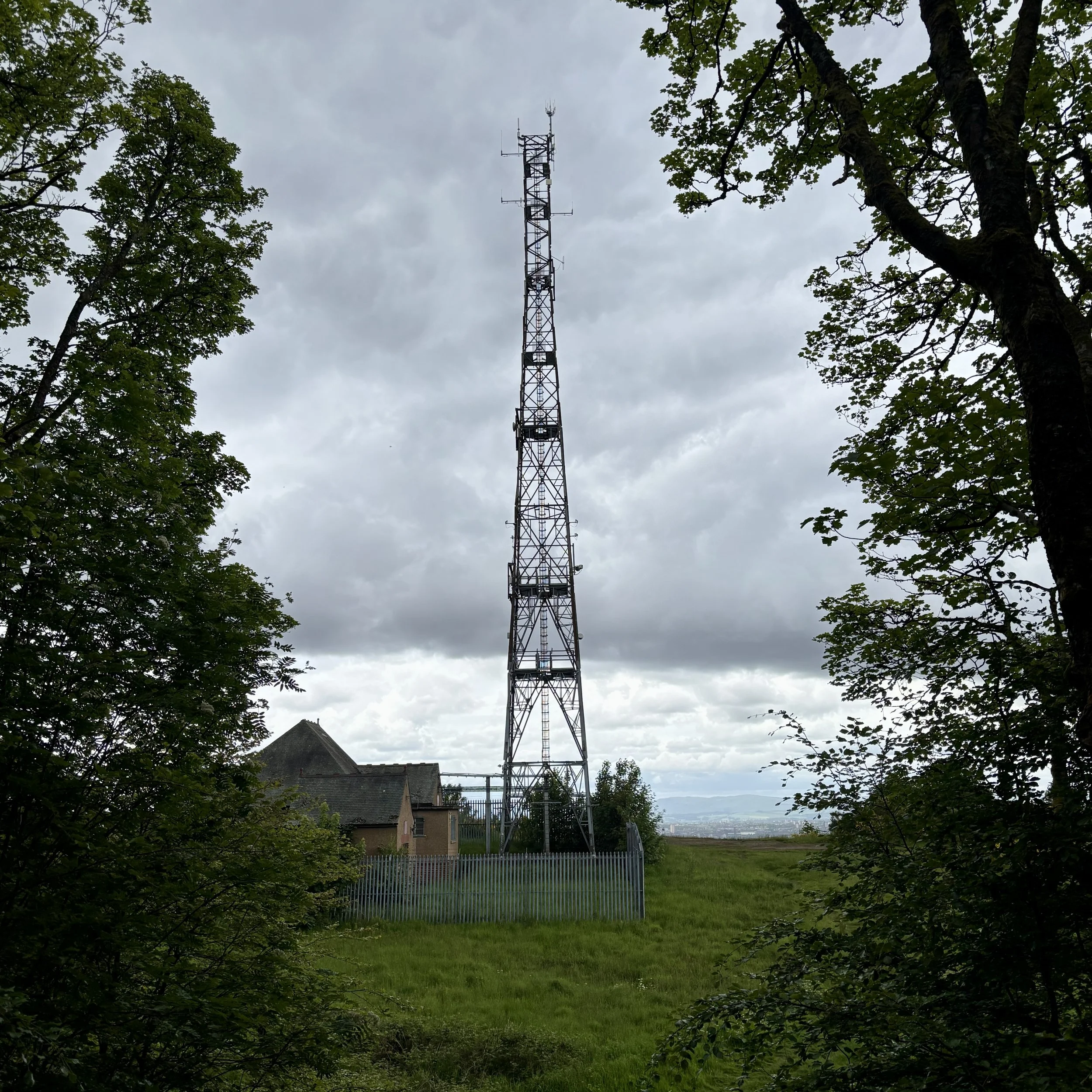
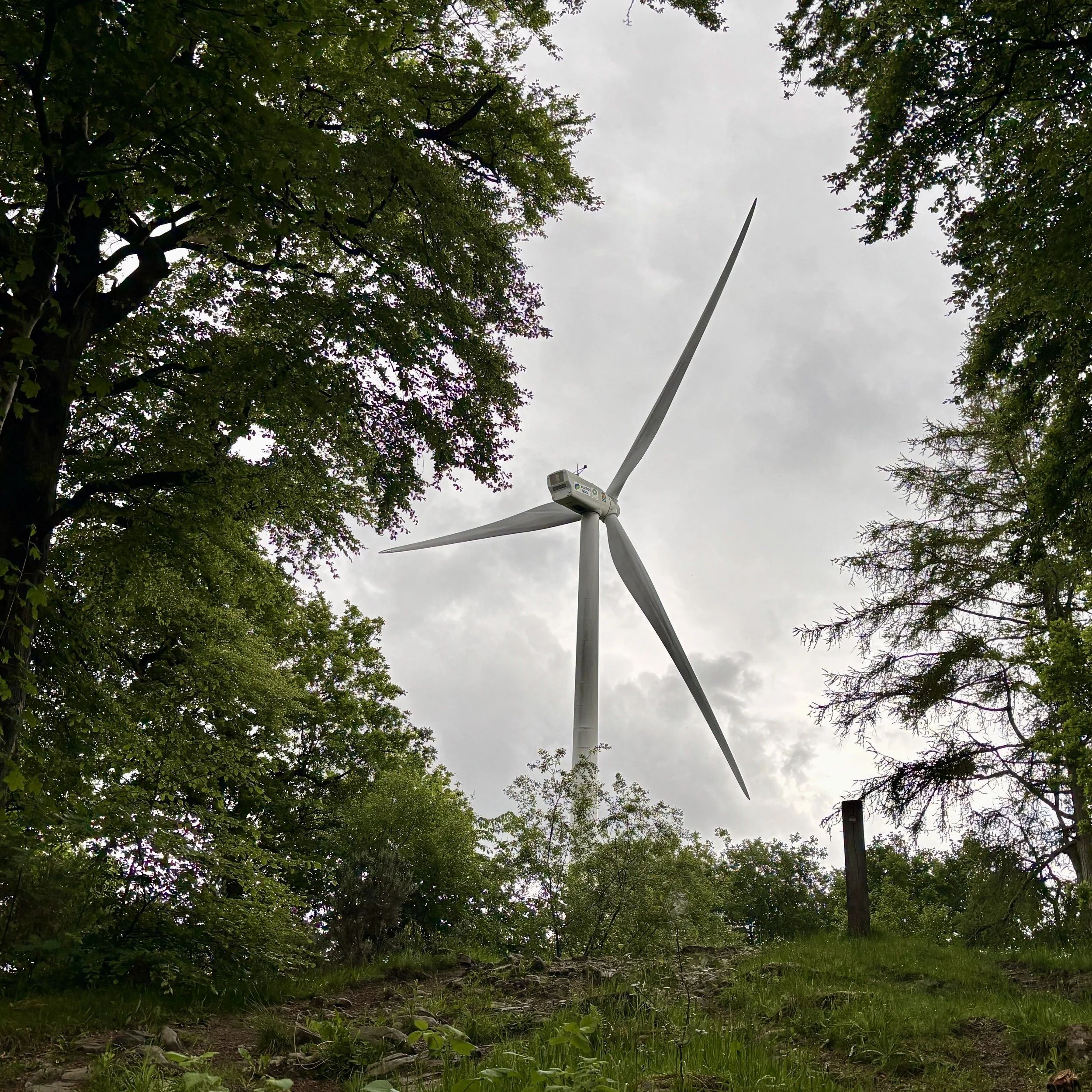
From the car park, you pick up a path that runs close to and parallel with the B759 in a north-easterly direction. The route takes you through some vegetation, pointing you towards a very clear visual target: the large wind turbine. You simply keep heading towards it, eventually passing right through the turbine's car park and out the other side.
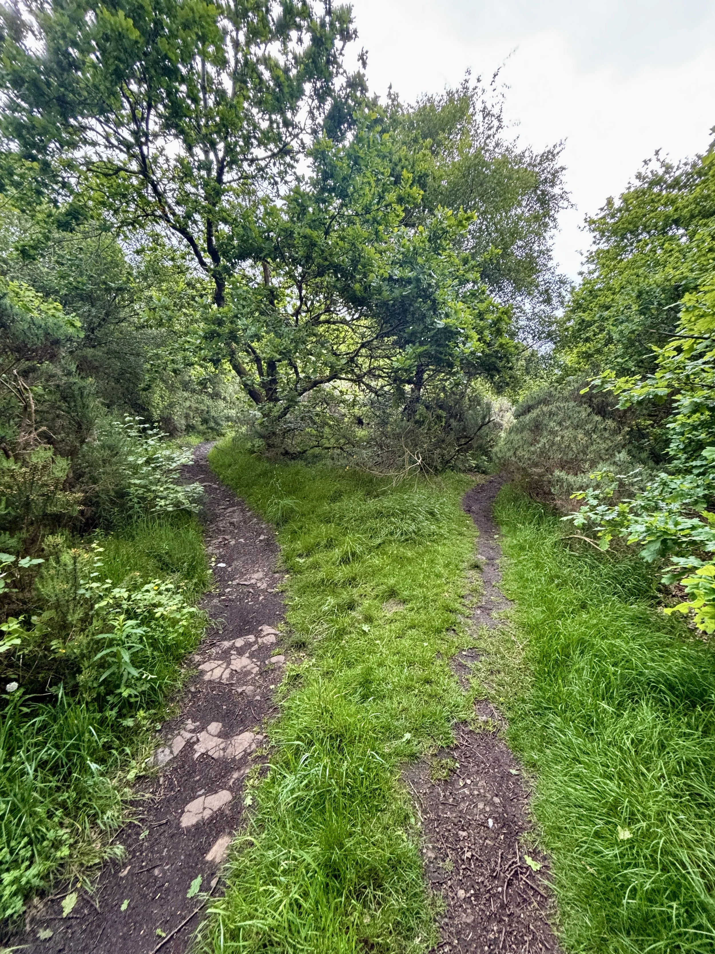
From the turbine, you follow a path heading in a slightly northerly direction to hunt down the exact coordinates of the high point. Unlike some of the more dramatic peaks, the true highest elevation here is beautifully unassuming. It is located on a path deep in the woods, with nothing marking the spot other than a distinct fork in the trail. I snapped a quick picture of the fork to officially document the achievement and pressed on.
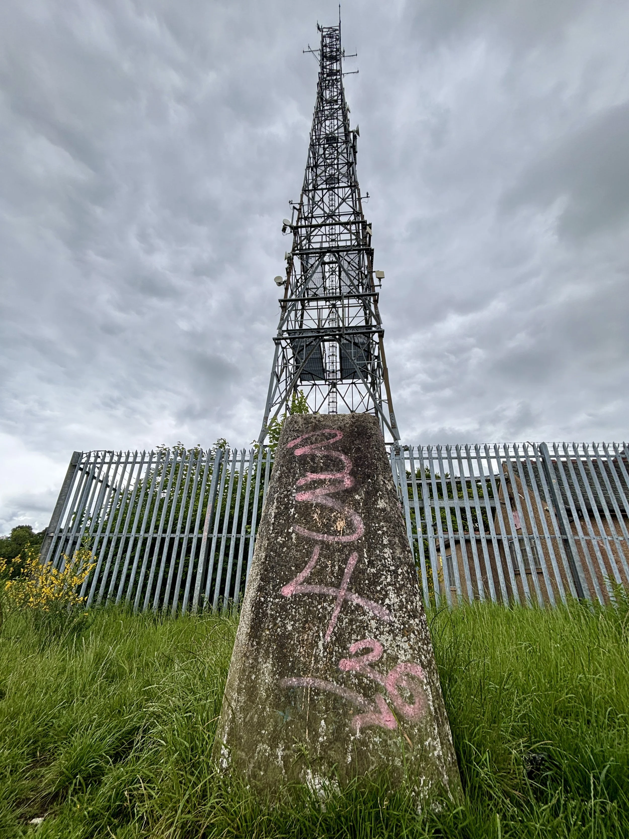
Taking the north-easterly path from the fork, I headed out towards a clearing. This is where the walk really rewards you: it opens up onto the ridge line, offering a fantastic view stretching right over the city of Glasgow. Sitting just in front of a very large telegraph pole, you will find the trig pillar. It is sporting a little bit of graffiti these days, but it is otherwise in good condition and well looked after.
After taking in the city views, the return leg is incredibly simple. You just follow the path along the ridge in a south-westerly direction, re-enter the woods shortly afterwards, and follow the trail all the way back to where you started at the B759 car park. It was an excellent, short walk to cap off the day before heading to the airport.
Points of Interest along or near to the Route
Cathkin Braes Country Park: Sitting among the highest points in Glasgow at around 200 metres, Cathkin Braes offers sweeping views across the city towards the Campsie Fells and, on clear days, the distant Southern Highlands. The Braes are also tied to the story of Mary, Queen of Scots: tradition holds that she watched the 1568 Battle of Langside from a vantage point here, witnessing the defeat of her supporters and the effective end of her reign in Scotland.
Geological Significance: The Braes form part of Glasgow’s Carboniferous volcanic landscape, shaped over millions of years as lava flows and volcanic rocks were gradually eroded into the distinctive ridge line seen today. This varied terrain supports a rich mosaic of habitats, from acid grassland and heath to woodland edges and wetlands. It is an important refuge for wildlife, including kestrels, owls, and seasonal migratory birds, making it one of the city’s most ecologically valuable upland areas.
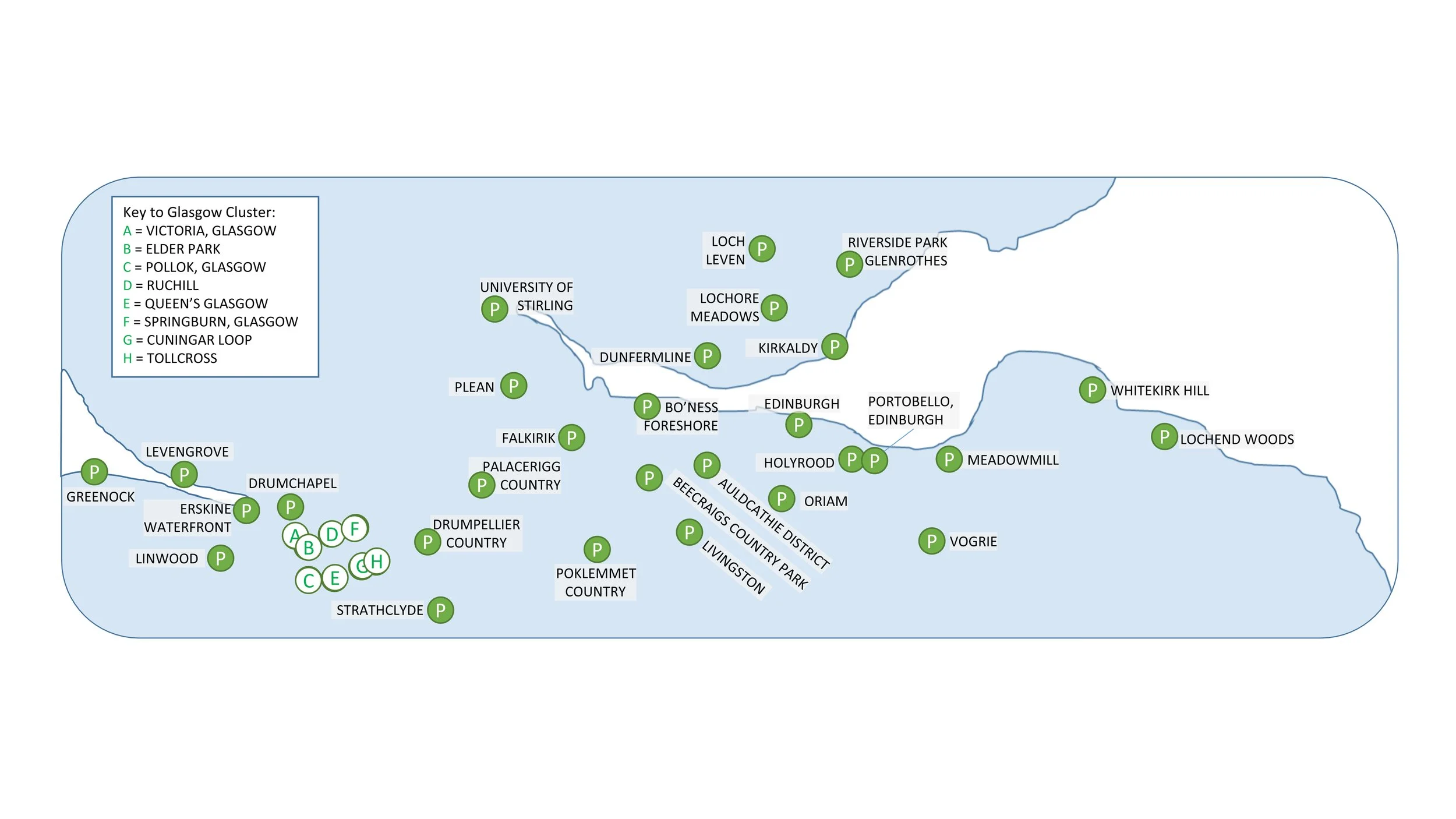
All The Scottish parkruns

There are currently 86 parkrun events in Scotland of which I have completed 8. The first was Pollok parkrun which started on December 6th 2008 and the newest is West Bay, Dunoon which started on August 8th 2026. The name for having completed all parkrun events in Scotland is ALLba
Only one 5k parkrun event has been permanently cancelled in Scotland. Inverness parkrun was held from September 2011 to March 14th 2020 and was replaced by Torvean parkrun
Numbers exclude 2k Junior parkruns and any events that are not open to the general public such as prisons or armed forces facilities.

The Central Belt:
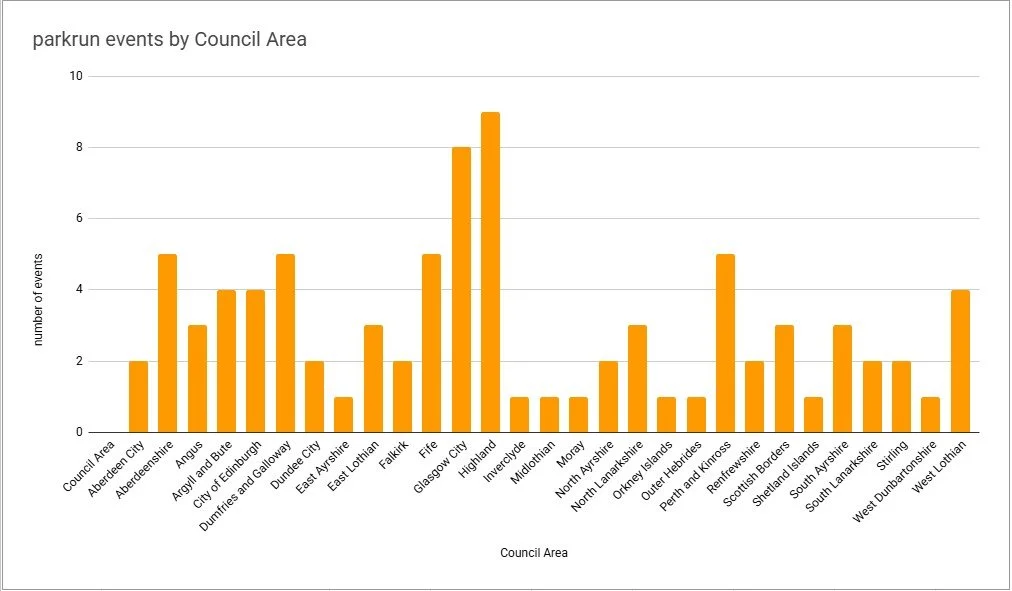
Scottish parkruns by County
If you are looking through the list of Scottish parkruns below, you’ll notice that I have included both the Historic County and the present-day Council Area for each event. The Historic Counties are the traditional geographical divisions of Scotland. These boundaries were established centuries ago, some tracing their origins back to the Middle Ages, and they were formally used for local administration from the late 19th century right up until 1975. Today, these boundaries remain static, offering a fascinating glimpse into the map history and traditional cartography of the landscape we are running through.
The present-day Council Areas are Scotland’s modern administrative units. The current system of 32 single‑tier councils came into effect on 1 April 1996, replacing the two‑tier structure of regions and districts that had existed since 1975. These councils handle local services such as waste collection, education, and planning.
Lanarkshire is the Historic County with the most 5k parkrun events with 9.
Highland is the Council Area with the most 5k parkrun events with 9.
All of the Scottish parkrun events …
Below are each of the Scottish 5k parkrun events in alphabetical order. A few things to note:
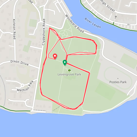
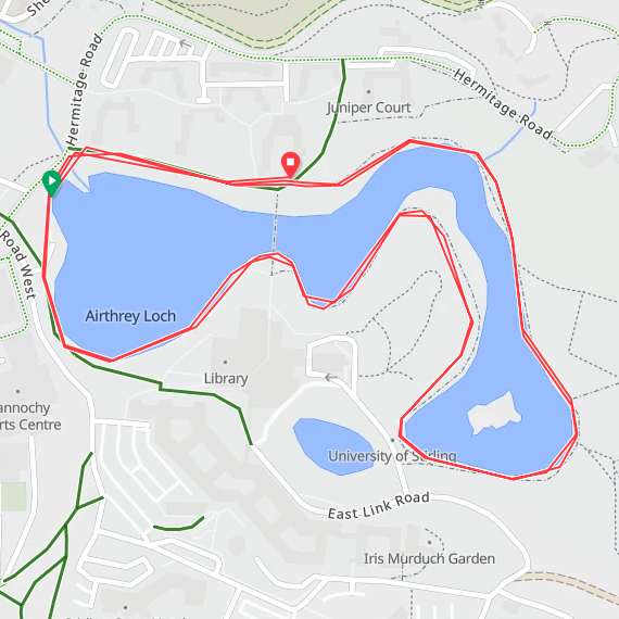
The interactive maps below take you to the approximate location for the course, typically the centre of the park. See the course instructions in the parkrun page for each event for specific directions to the start.
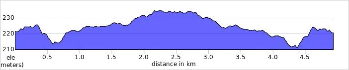
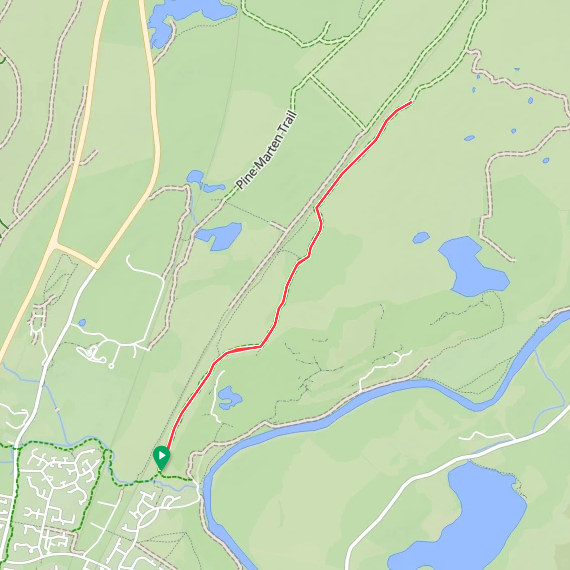
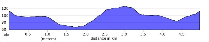
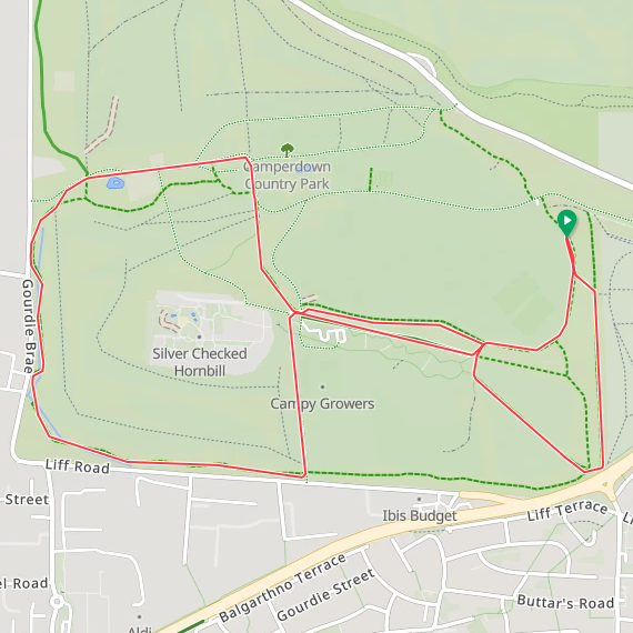
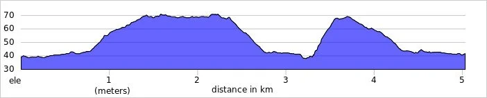
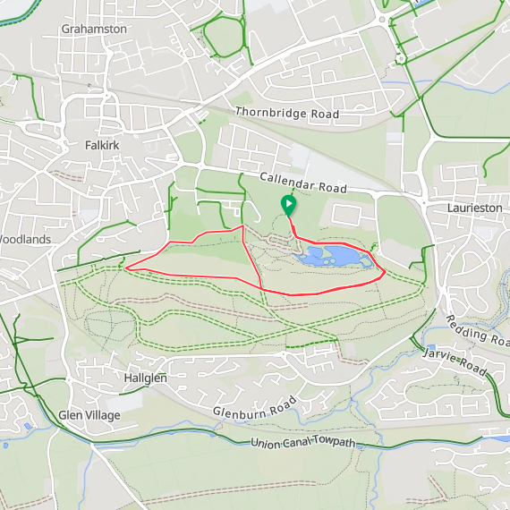
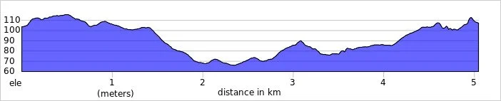
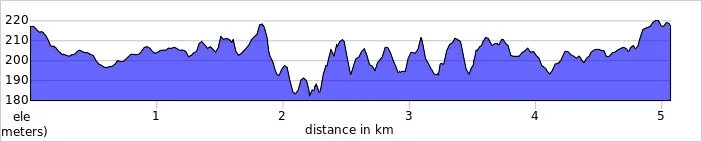
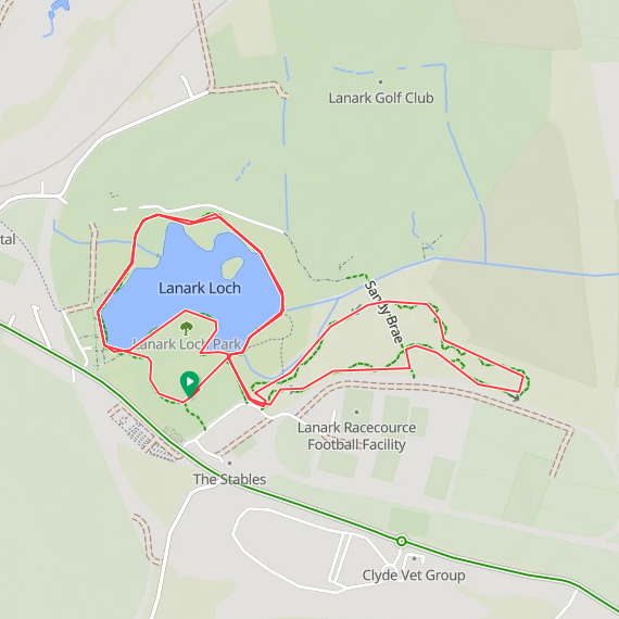
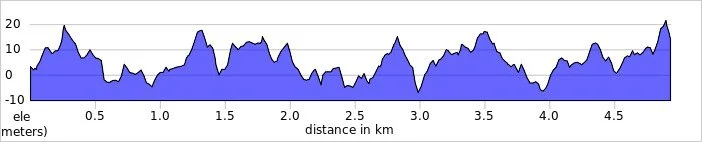
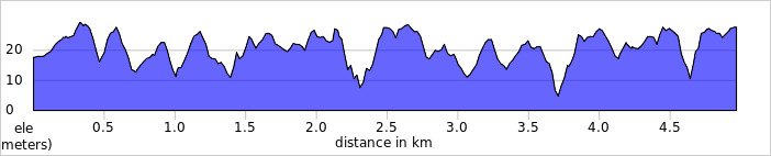
Course maps and elevation profiles show the route at the time that I ran it and may have changed since then. See the Course page in the event’s page on parkrun.org.uk for the current course outline. Note that course outlines are from Garmin data during a specific run and may vary from the officially measured distance.
Please contact me if you spot an event that doesn’t have a course map and elevation profile and you would like to donate one from your own run. I’m also interested in maps and elevation profiles for courses that have changed or where there’s a regular alternative route (e.g. Horsham). I’ll need a GPX file from your run plus the date. I’ll include a credit for you and will donate £1 to parkrun.
Aberdeen
I have not yet completed this event
Historic County: Aberdeenshire
Council Area: Aberdeen City
Inaugural: October 8th 2011
Links: Event Home Page, Course Page
Ae Forest
I have not yet completed this event
Historic County: Dumfriesshire
Council Area: Dumfries and Galloway
Inaugural: July 25th 2026
Links: Event Home Page, Course Page
Agnew
I have not yet completed this event
Historic County: Wigtownshire
Council Area: Dumfries and Galloway
Inaugural: December 14th 2019
Links: Event Home Page, Course Page
Alness
I have not yet completed this event
Historic County: Ross-shire / Ross and Cromarty
Council Area: Highland
Inaugural: August 26th 2017
Links: Event Home Page, Course Page
Anagach Woods
I have not yet completed this event
Historic County: Morayshire
Council Area: Highland
Inaugural: August 23rd 2025
Links: Event Home Page, Course Page
Auldcathie District
I have not yet completed this event
Historic County: West Lothian
Council Area: West Lothian
Inaugural: January 7th 2023
Links: Event Home Page, Course Page
Aviemore
I completed this event on: June 14th 2025 with a finish time of: 25:43
Other routes touched (walk): Speyside Way
Other routes touched (cycle): NCN 7
Historic County: Inverness-shire
Council Area: Highland
Inaugural: May 6th 2017
Links: Event Home Page, Course Page
Ayr
I have not yet completed this event
Historic County: Ayrshire
Council Area: South Ayrshire
Inaugural: September 20th 2014
Links: Event Home Page, Course Page
Beecraigs Country Park
I have not yet completed this event
Historic County: West Lothian
Council Area: West Lothian
Inaugural: December 27th 2025
Links: Event Home Page, Course Page
Belladrum
I have not yet completed this event
Historic County: Inverness-shire
Council Area: Highland
Inaugural: January 24th 2026
Links: Event Home Page, Course Page
Bo’ness Foreshore
I have not yet completed this event
Historic County: West Lothian
Council Area: Falkirk
Inaugural: October 4th 2025
Links: Event Home Page, Course Page
Bressay
I have not yet completed this event
Historic County: Shetland
Council Area: Shetland Islands
Inaugural: January 20th 2018
Links: Event Home Page, Course Page
Broughty Ferry Esplanade
I have not yet completed this event
Historic County: Angus
Council Area: Dundee City
Inaugural: June 27th 2026
Links: Event Home Page, Course Page
Camperdown
I completed this event on: September 28th 2024 with a finish time of: 27:05
Other routes touched: None
Historic County: Angus
Council Area: Dundee City
Inaugural: May 19th 2012
Links: Event Home Page, Course Page
Carlingwark Loch
I have not yet completed this event
Historic County: Kirkcudbrightshire
Council Area: Dumfries and Galloway
Inaugural: October 21st 2023
Links: Event Home Page, Course Page
Castle Woods
I have not yet completed this event
Historic County: Aberdeenshire
Council Area: Aberdeenshire
Inaugural: May 17th 2025
Links: Event Home Page, Course Page
Crathes Castle
I have not yet completed this event
Historic County: Aberdeenshire
Council Area: Aberdeenshire
Inaugural: February 9th 2019
Links: Event Home Page, Course Page
Crichton
I have not yet completed this event
Historic County: Dumfriesshire
Council Area: Dumfries and Galloway
Inaugural: January 6th 2018
Links: Event Home Page, Course Page
Crinan Canal, Lochgilphead
I have not yet completed this event
Original name: Crinan Canal. They had a sink hole on the original route, were cancelled for a bit and then restarted on a different part of the canal (15 minute drive from original start line) with amended name.
Historic County: Argyllshire
Council Area: Argyll and Bute
Inaugural: August 31st 2024
Links: Event Home Page, Course Page
Cuningar Loop
I have not yet completed this event
Historic County: Lanarkshire
Council Area: South Lanarkshire
Inaugural: March 8th 2025
Links: Event Home Page, Course Page
Dean Castle Country Park
I have not yet completed this event
Historic County: Ayrshire
Council Area: East Ayrshire
Inaugural: August 31st 2019
Links: Event Home Page, Course Page
Drumchapel
I have not yet completed this event
Historic County: Dunbartonshire
Council Area: Glasgow City
Inaugural: June 4th 2016
Links: Event Home Page, Course Page
Drumlarig Castle
I have not yet completed this event
Historic County: Dumfriesshire
Council Area: Dumfries and Galloway
Inaugural: May 9th 2026
Links: Event Home Page, Course Page
Drumpellier Country
I have not yet completed this event
Historic County: Lanarkshire
Council Area: North Lanarkshire
Inaugural: July 27th 2019
Links: Event Home Page, Course Page
Dunfermline
I have not yet completed this event
Historic County: Fife
Council Area: Fife
Inaugural: July 4th 2015
Links: Event Home Page, Course Page
Edinburgh
I have not yet completed this event
Historic County: Midlothian
Council Area: City of Edinburgh
Inaugural: October 17th 2009
Links: Event Home Page, Course Page
Eglinton
I have not yet completed this event
Historic County: Ayrshire
Council Area: North Ayrshire
Inaugural: March 16th 2013
Links: Event Home Page, Course Page
Elder Park
I have not yet completed this event
Historic County: Lanarkshire
Council Area: Glasgow City
Inaugural: June 11th 2022
Links: Event Home Page, Course Page
Elgin
I have not yet completed this event
Historic County: Morayshire
Council Area: Moray
Inaugural: March 5th 2016
Links: Event Home Page, Course Page
Ellon
I have not yet completed this event
Historic County: Aberdeenshire
Council Area: Aberdeenshire
Inaugural: October 17th 2015
Links: Event Home Page, Course Page
Erskine Waterfront
I have not yet completed this event
Historic County: Renfrewshire
Council Area: Renfrewshire
Inaugural: November 19th 2022
Links: Event Home Page, Course Page
Falkirk
I completed this event on: August 10th 2024 with a finish time of: 28:08
Other routes touched (walk): John Muir Way
Other routes touched (cycle): HArRTT
Historic County: Stirlingshire
Council Area: Falkirk
Inaugural: July 16th 2011
Links: Event Home Page, Course Page
Faskally Forest
I have not yet completed this event
Historic County: Perthshire
Council Area: Perth and Kinross
Inaugural: March 7th 2020
Links: Event Home Page, Course Page
FeldyRoo Fitness Trail
I have not yet completed this event
Historic County: Perthshire
Council Area: Perth and Kinross
Inaugural: April 12th 2025
Links: Event Home Page, Course Page
Forfar Loch
I have not yet completed this event
Historic County: Angus
Council Area: Angus
Inaugural: February 12th 2022
Links: Event Home Page, Course Page
Fort William
I completed this event on: August 17th 2024 with a finish time of: 28:02
Other routes touched: None
Historic County: Inverness-shire
Council Area: Highland
Inaugural: April 7th 2018
Links: Event Home Page, Course Page

Ganavan Sands
I have not yet completed this event
Historic County: Argyllshire
Council Area: Argyll and Bute
Inaugural: August 20th 2016
Links: Event Home Page, Course Page
Girvan Prom
I have not yet completed this event
Historic County: Ayrshire
Council Area: South Ayrshire
Inaugural: July 28th 2018
Links: Event Home Page, Course Page
Greenock
I have not yet completed this event
Historic County: Renfrewshire
Council Area: Inverclyde
Inaugural: May 17th 2014
Links: Event Home Page, Course Page
Hay Lodge
I have not yet completed this event
Historic County: Peeblesshire
Council Area: Scottish Borders
Inaugural: November 3rd 2018
Links: Event Home Page, Course Page
Hazlehead
I have not yet completed this event
Historic County: Aberdeenshire
Council Area: Aberdeen City
Inaugural: August 16th 2014
Links: Event Home Page, Course Page
Holyrood
I have not yet completed this event
Historic County: Midlothian
Council Area: City of Edinburgh
Inaugural: July 16th 2022
Links: Event Home Page, Course Page
Inverness
This parkrun event has been permanently cancelled. I did not complete this event before it was closed.
Historic County: Inverness-shire
Council Area: Highland
Inaugural: September 3rd 2011. Final event: #432 on March 14th 2020
Reason for cancellation: Original venue became unavailable
Replaced by: Torvean
Links: Event Home Page
Kirkcaldy
I have not yet completed this event
Historic County: Fife
Council Area: Fife
Inaugural: February 14th 2015
Links: Event Home Page, Course Page
Kirkwall
I have not yet completed this event
Historic County: Orkney
Council Area: Orkney Islands
Inaugural: April 21st 2018
Links: Event Home Page, Course Page
Lady Mary’s Walk
I have not yet completed this event
Historic County: Perthshire
Council Area: Perth and Kinross
Inaugural: April 18th 2026
Links: Event Home Page, Course Page
Lanark Moor
I completed this event on: September 25th 2025 with a finish time of: 27:27
Other routes touched: None
Historic County: Lanarkshire
Council Area: South Lanarkshire
Inaugural: August 11th 2018
Links: Event Home Page, Course Page
Largs Prom
I have not yet completed this event
Historic County: Ayrshire
Council Area: North Ayrshire
Inaugural: May 28th 2022
Links: Event Home Page, Course Page
Levengrove
I completed this event on: September 9th 2023 with a finish time of: 26:09
Other routes touched (walk): The Shore Circular Path
Historic County: Dunbartonshire
Council Area: West Dunbartonshire
Inaugural: December 7th 2019
Links: Event Home Page, Course Page
Lews Castle
I have not yet completed this event
Historic County: Ross-shire
Council Area: Outer Hebrides
Inaugural: January 11th 2020
Links: Event Home Page, Course Page
Linwood
I have not yet completed this event
Historic County: Renfrewshire
Council Area: Renfrewshire
Inaugural: July 9th 2016
Links: Event Home Page, Course Page
Livingston
I have not yet completed this event
Historic County: West Lothian
Council Area: West Lothian
Inaugural: January 9th 2016
Links: Event Home Page, Course Page
Loch Leven
I have not yet completed this event
Historic County: Kinross-shire
Council Area: Perth and Kinross
Inaugural: August 11th 2018
Links: Event Home Page, Course Page
Lochend Woods
I have not yet completed this event
Historic County: East Lothian
Council Area: East Lothian
Inaugural: March 23rd 2019
Links: Event Home Page, Course Page
Lochore Meadows
I have not yet completed this event
Historic County: Fife
Council Area: Fife
Inaugural: May 19th 2018
Links: Event Home Page, Course Page
Meadowmill
I have not yet completed this event
Historic County: East Lothian
Council Area: East Lothian
Inaugural: February 9th 2019
Links: Event Home Page, Course Page
Montrose
I have not yet completed this event
Historic County: Angus
Council Area: Angus
Inaugural: July 8th 2017
Links: Event Home Page, Course Page
Mount Stuart
I have not yet completed this event
Historic County: Buteshire
Council Area: Argyll and Bute
Inaugural: September 7th 2019
Links: Event Home Page, Course Page
Nairn Links
I have not yet completed this event
Historic County: Nairnshire
Council Area: Highland
Inaugural: March 29th 2025
Links: Event Home Page, Course Page
Oriam
I have not yet completed this event
Historic County: Midlothian
Council Area: City of Edinburgh
Inaugural: November 2nd 2019
Links: Event Home Page, Course Page
Palacerigg Country
I have not yet completed this event
Historic County: Dunbartonshire
Council Area: North Lanarkshire
Inaugural: August 27th 2022
Links: Event Home Page, Course Page
Perth
I have not yet completed this event
Historic County: Perthshire
Council Area: Perth and Kinross
Inaugural: November 30th 2013
Links: Event Home Page, Course Page
Plean
I have not yet completed this event
Historic County: Stirlingshire
Council Area: Stirling
Inaugural: November 18th 2017
Links: Event Home Page, Course Page
Polkemmet Country
I have not yet completed this event
Historic County: West Lothian
Council Area: West Lothian
Inaugural: May 25th 2019
Links: Event Home Page, Course Page
Pollok, Glasgow
I have not yet completed this event
Original name: Glasgow. Due to the growth of parkrun and the addition of three other events within the city, it was renamed to Pollok to reflect its specific location in Pollok Country Park.
Historic County: Lanarkshire
Council Area: Glasgow City
Inaugural: December 6th 2008
Links: Event Home Page, Course Page
Portobello, Edinburgh
I have not yet completed this event
Historic County: Midlothian
Council Area: City of Edinburgh
Inaugural: April 18th 2015
Links: Event Home Page, Course Page
Queen’s, Glasgow
I have not yet completed this event
Historic County: Lanarkshire
Council Area: Glasgow City
Inaugural: February 25th 2012
Links: Event Home Page, Course Page
Riverside Park, Glenrothes
I have not yet completed this event
Historic County: Fife
Council Area: Fife
Inaugural: June 14th 2024
Links: Event Home Page, Course Page
Ruchill
I have not yet completed this event
Historic County: Lanarkshire
Council Area: Glasgow City
Inaugural: April 15th 2017
Links: Event Home Page, Course Page
Skinadin
I have not yet completed this event
Historic County: Inverness-shire
Council Area: Highland
Inaugural: August 10th 2024
Links: Event Home Page, Course Page
Springburn
I have not yet completed this event
Historic County: Lanarkshire
Council Area: Glasgow City
Inaugural: May 10th 2014
Links: Event Home Page, Course Page
St Andrews
I have not yet completed this event
Historic County: Fife
Council Area: Fife
Inaugural: April 21st 2012
Links: Event Home Page, Course Page
Stonehaven
I have not yet completed this event
Historic County: Kincardineshire
Council Area: Aberdeenshire
Inaugural: September 10th 2016
Links: Event Home Page, Course Page
Strathclyde
I have not yet completed this event
Historic County: Lanarkshire
Council Area: North Lanarkshire
Inaugural: April 10th 2010
Links: Event Home Page, Course Page
Thurso
I have not yet completed this event
Historic County: Caithness
Council Area: Highland
Inaugural: April 14th 2018
Links: Event Home Page, Course Page
Tollcross
I have not yet completed this event
Historic County: Lanarkshire
Council Area: Glasgow City
Inaugural: May 18th 2013
Links: Event Home Page, Course Page
Torvean
I have not yet completed this event
Historic County: Inverness-shire
Council Area: Highland
Inaugural: September 4th 2021
Links: Event Home Page, Course Page
Troon
I have not yet completed this event
Historic County: Ayrshire
Council Area: South Ayrshire
Inaugural: December 2nd 2017
Links: Event Home Page, Course Page
University of Stirling
I completed this event on: September 24th 2022 with a finish time of: 24:20
Other routes touched (walk): Henry Milne Walk
Historic County: Stirlingshire
Council Area: Stirling
Inaugural: October 12th 2019
Links: Event Home Page, Course Page
Ury Riverside
I have not yet completed this event
Historic County: Aberdeenshire
Council Area: Aberdeenshire
Inaugural: November 2nd 2019
Links: Event Home Page, Course Page
Victoria
I completed this event on: June 6th 2026 with a finish time of: 28:40
Other routes touched: None
Historic County: Lanarkshire
Council Area: Glasgow City
Inaugural: October 12th 2013
Links: Event Home Page, Course Page
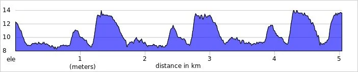
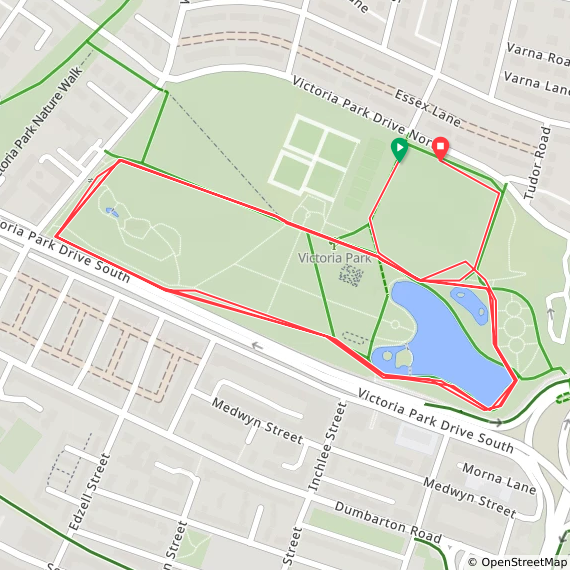
Vogrie
I have not yet completed this event
Historic County: Midlothian
Council Area: Midlothian
Inaugural: March 11th 2017
Links: Event Home Page, Course Page
Wallaceneuk
I have not yet completed this event
Historic County: Roxburghshire
Council Area: Scottish Borders
Inaugural: January 18th 2020
Links: Event Home Page, Course Page
West Bay, Dunoon
I have not yet completed this event
Historic County: Argyllshire
Council Area: Argyll and Bute
Inaugural: August 8th 2026
Links: Event Home Page, Course Page
West Links
I have not yet completed this event
Historic County: Angus
Council Area: Angus
Inaugural: January 15th 2022
Links: Event Home Page, Course Page
Whitekirk Hill
I have not yet completed this event
Historic County: East Lothian
Council Area: East Lothian
Inaugural: September 16th 2023
Links: Event Home Page, Course Page
Wilton Lodge Park
I have not yet completed this event
Historic County: Roxburghshire
Council Area: Scottish Borders
Inaugural: April 11th 2026
Links: Event Home Page, Course Page
More parkrun posts
parkruns are free, weekly, community 5k events all around the world. I started in December 2012 and have been obsessive about it ever since. See my parkrun Collection page for details.
Featured and popular parkrun posts:
Scottish Borders County Tops
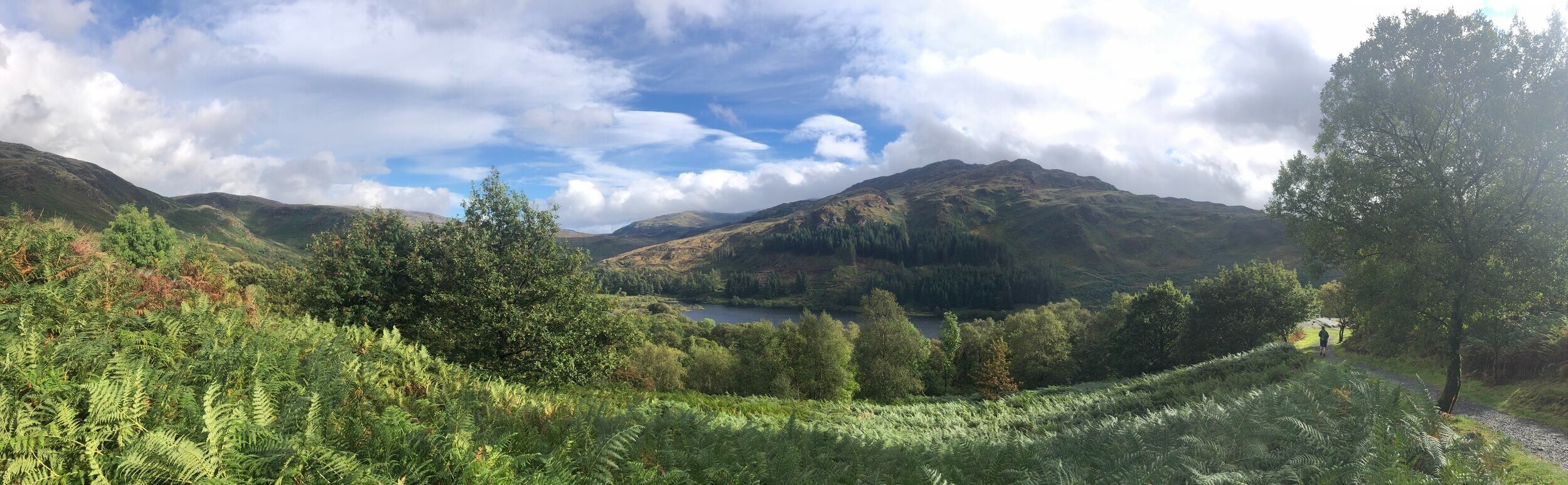
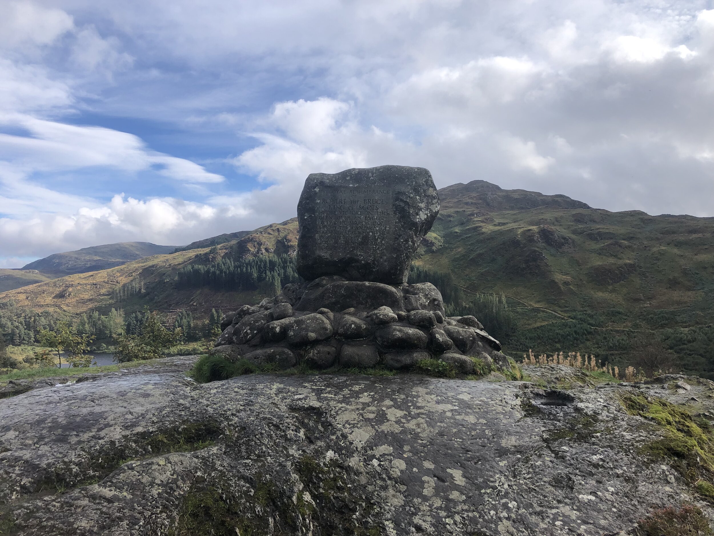
View to Loch Trool from Bruce’s Stone at the start of the Merrick Trail
With all of the County Tops in England, Wales and Northern Ireland in the bag, I “just” have Scotland to do. The problem is that they’re now a long way from home and getting taller. Before this trip I’d only done 3 of the 33 Historic County Tops of Scotland. I’d done Ben Nevis a couple of times, Goatfell once and, most recently Hangingstone Hill as an add-on to the Cheviot walk.
The remaining 30 would need to be grouped into longer weekends around natural groupings. With easy access from Glasgow Airport, the 6 summits of this trip was an obvious place to start. Broad Law covers 2 counties each giving a total of 7 historic counties over a 4-day trip.
Craigairie Fell
Significance: Highest peak in Wigtownshire (Historic County Top)
Member of: N/A
Parent Peak: Beneraird
Nearest Higher Neighbour: Beneraird
Elevation: 321m
Date climbed: 23rd September 2021
Coordinates: 55° 1' 34'' N, 4° 45' 40'' W
Route Start / End: Parking space at end of road west from Polbae (DG8 6RZ)
Route Distance: 7.5 km (4.6 miles)
Route Elevation Change: +/- 159m
Subsidiary tops on route: None
GPX File: get via Buy Me a Coffee
Other routes touched (walk): Southern Upland Way
Other routes touched (cycle): None
OS Trig Pillar: TP2507 - Craigairie Fell
Map: OS Explorer Map (310) Glenluce and Kirkcowan
Guidebook: The UK's County Tops (Jonny Muir)
Links: Wikipedia (Wigtownshire), Peakbagger
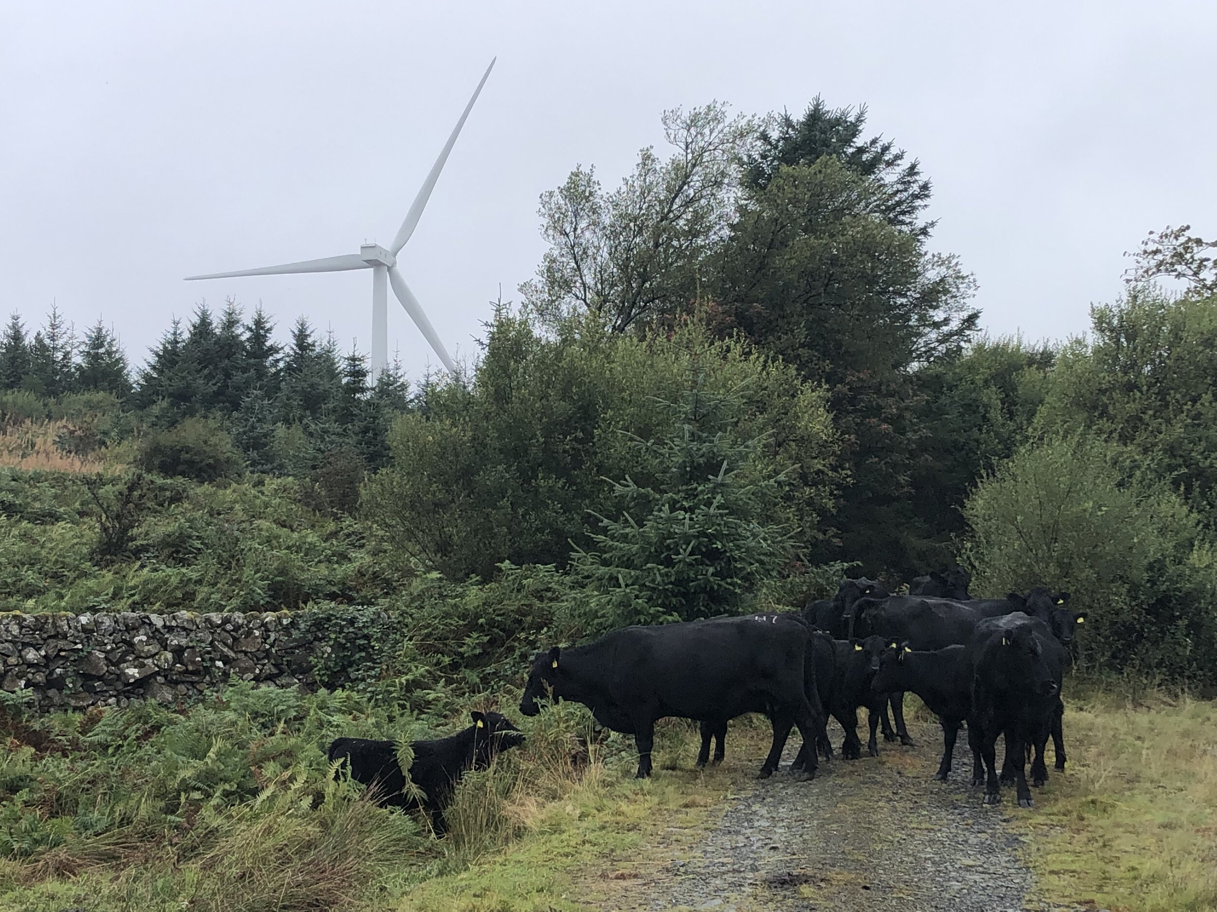
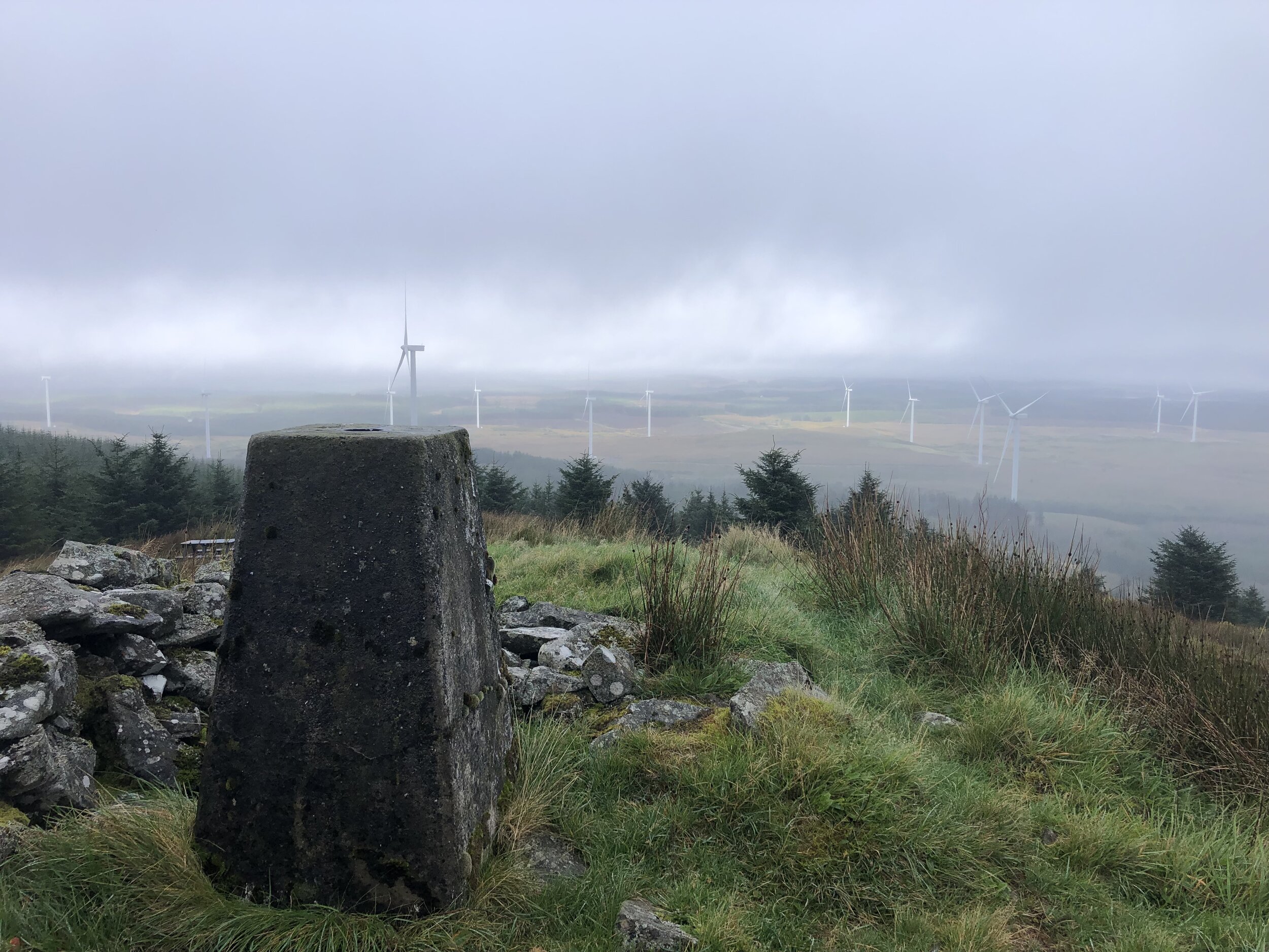
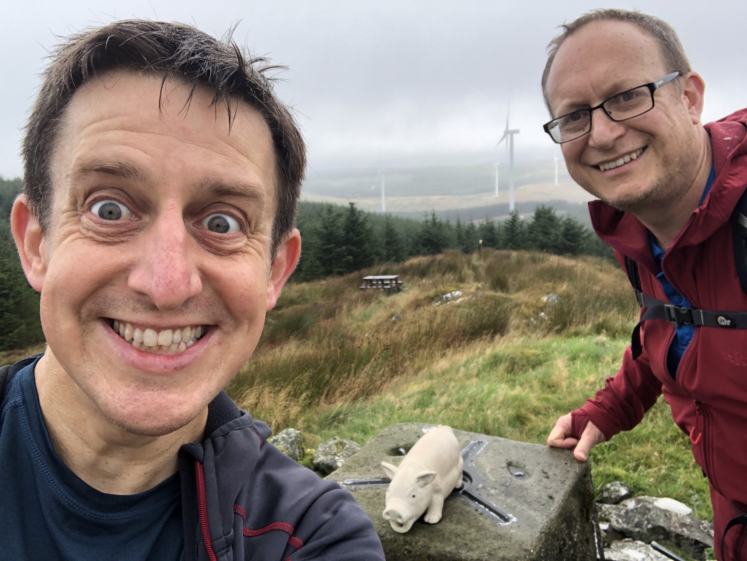
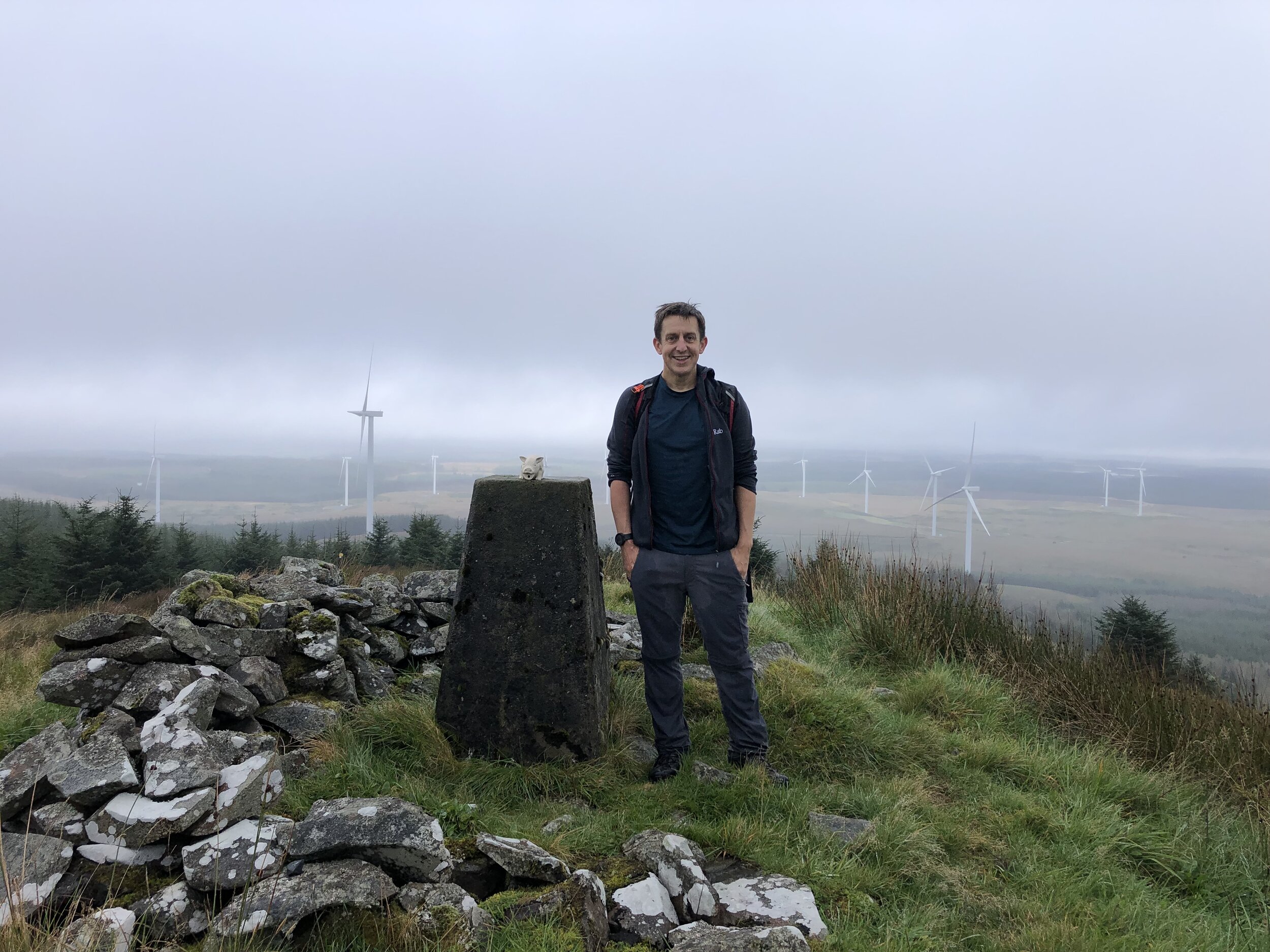
Craigairie Fell was our warm-up peak for the trip. With a total elevation of 321m, it’s a hill rather than a mountain and can be bagged in less than 2 hours. We tackled this one first as we flew into Glasgow in the morning and it was a 2-hour drive to the start of the walk.
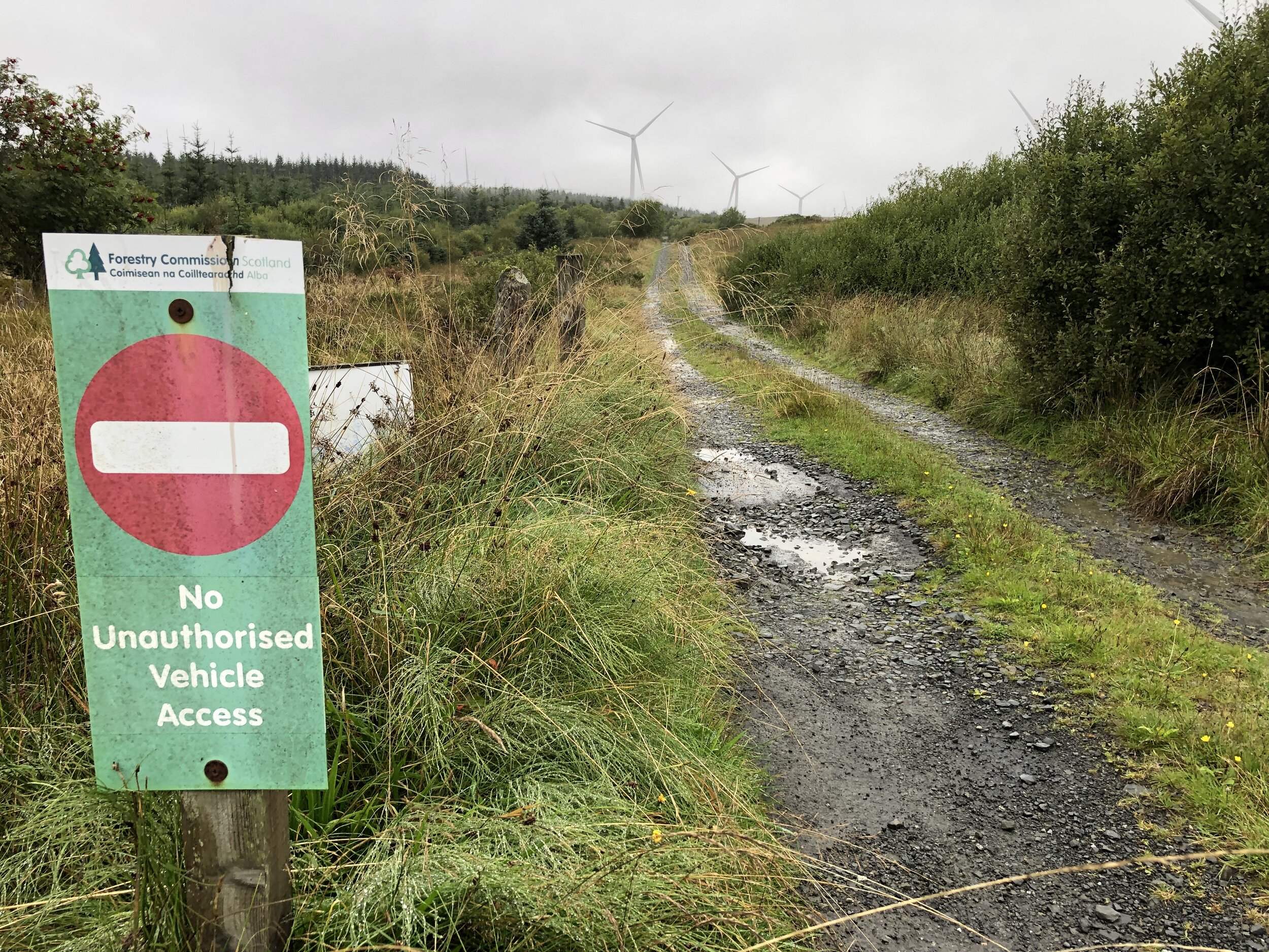
There’s a good parking spot about a mile west along the road from Polbae. It’s more of a track than a road so don’t attempt it in a car with low clearance. You’ll notice it soon after the Forestry Commission sign saying “No Unauthorized Vehicle Access”. It’s an odd place to have the sign as it’s on a random part of the road with no place to turn around. The first place to turn further along is a junction with a track to a farm where the obvious parking spot is.
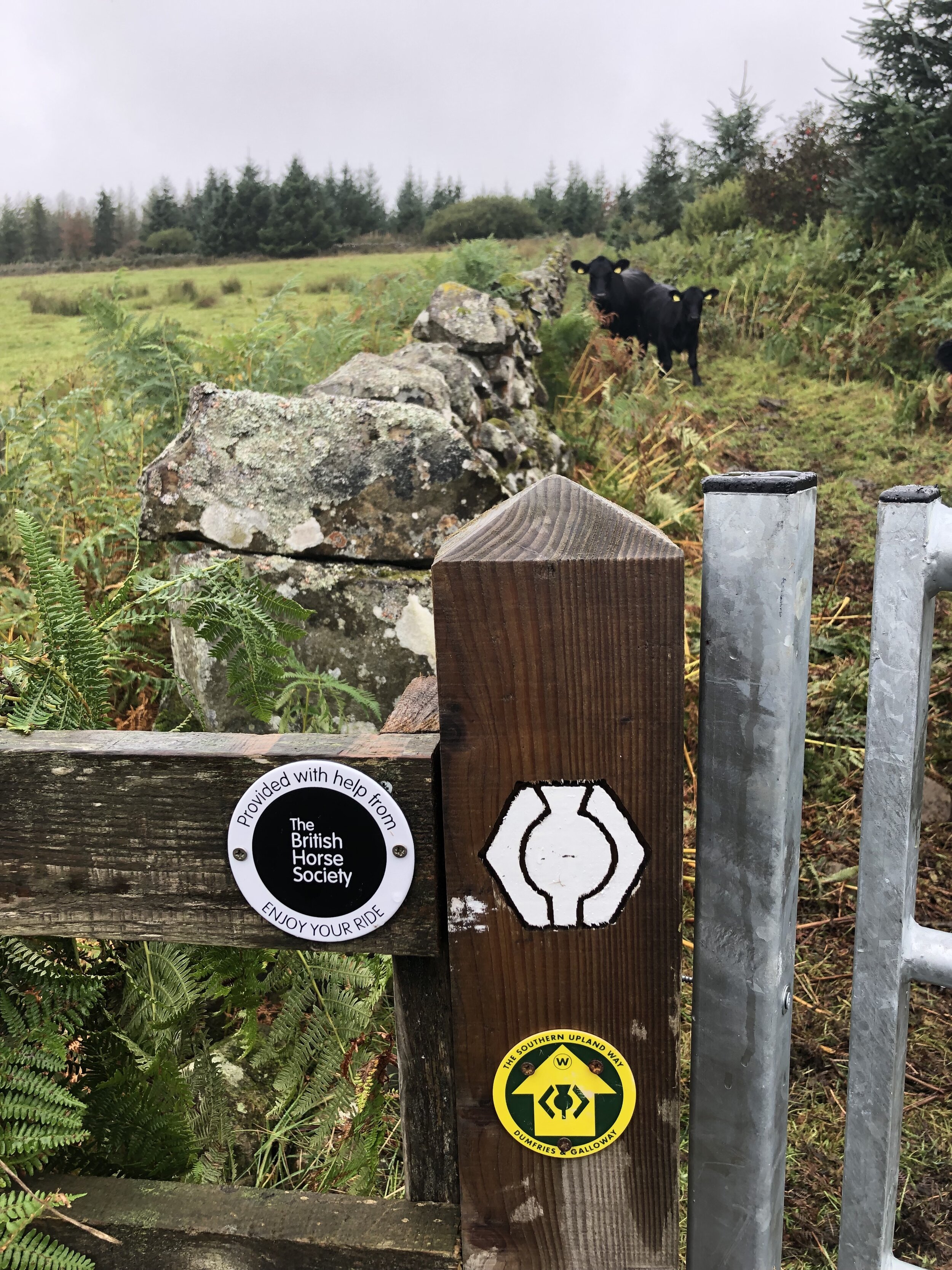
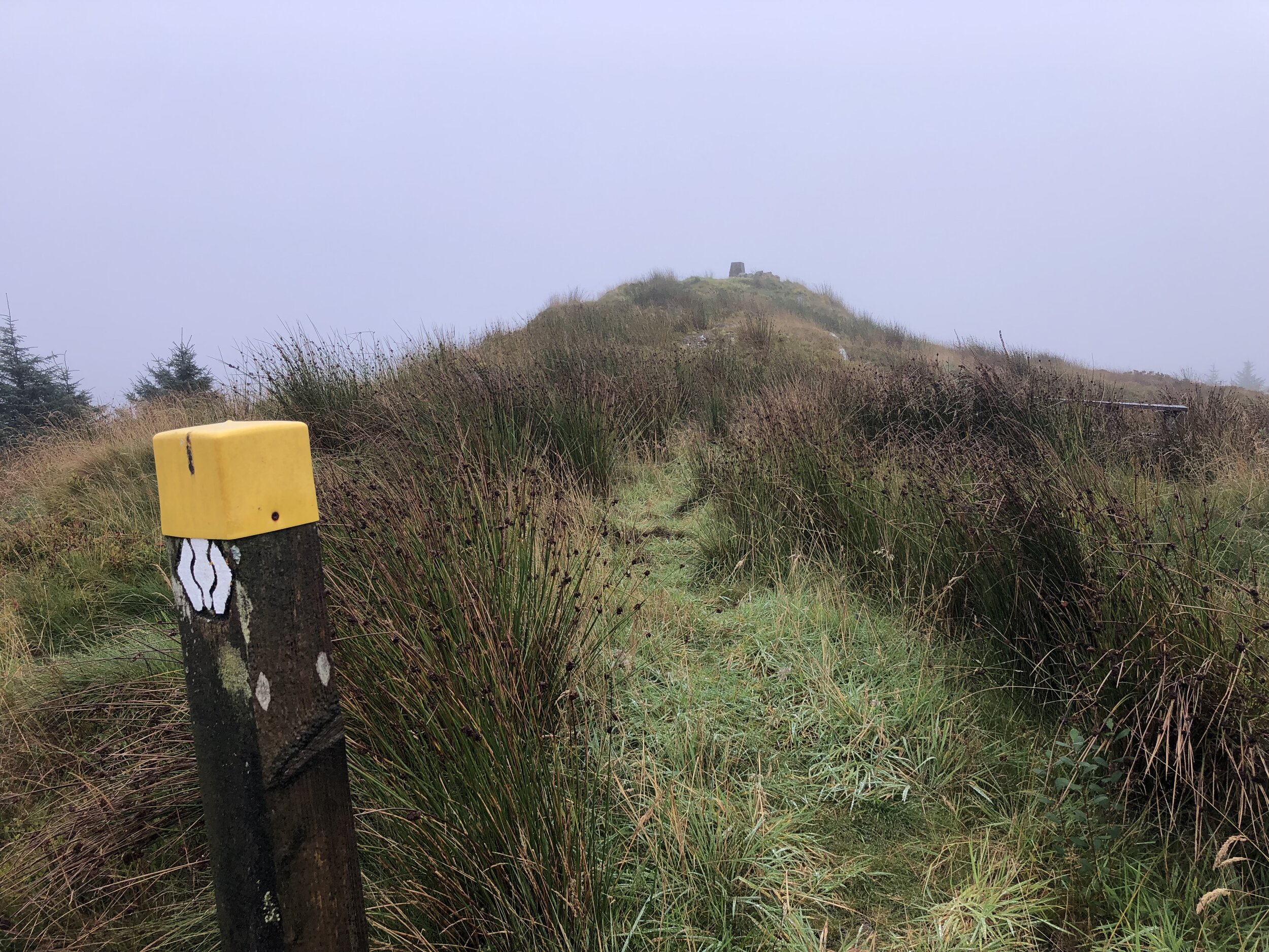
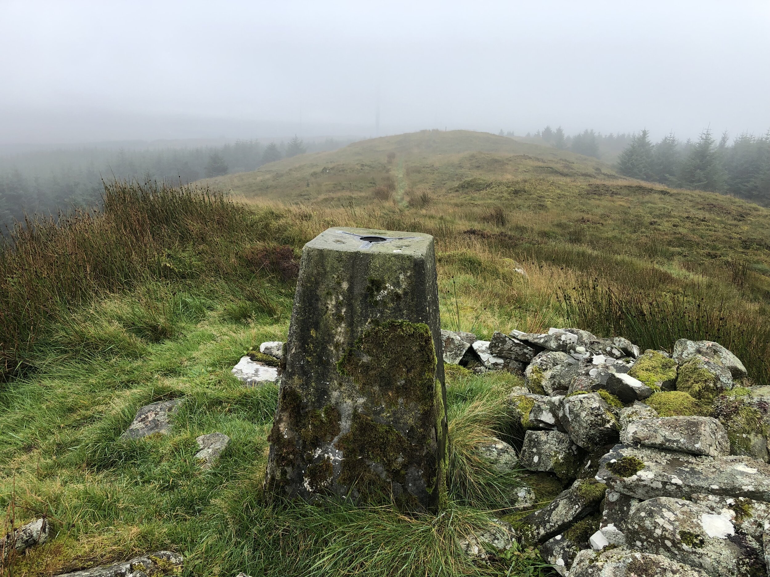
From the parking spot, navigation is very easy as you follow the Southern Upland Way all the way to the Trig Pillar at the top. The actual route is slightly shorter than the one on the map as there’s a short-cut of the Southern Upland Way that cuts off the hairpin bend near the D of Derry on the map.
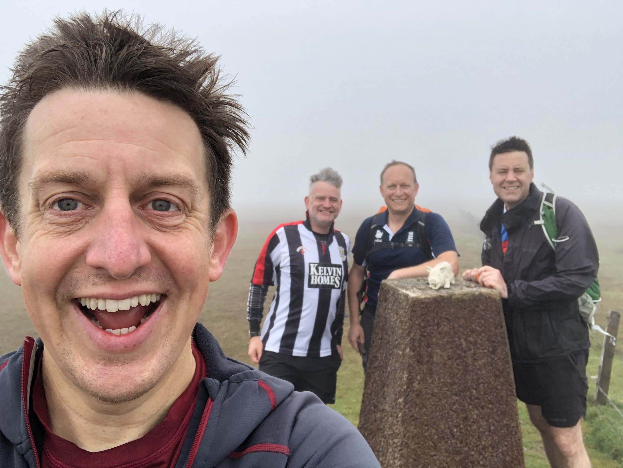
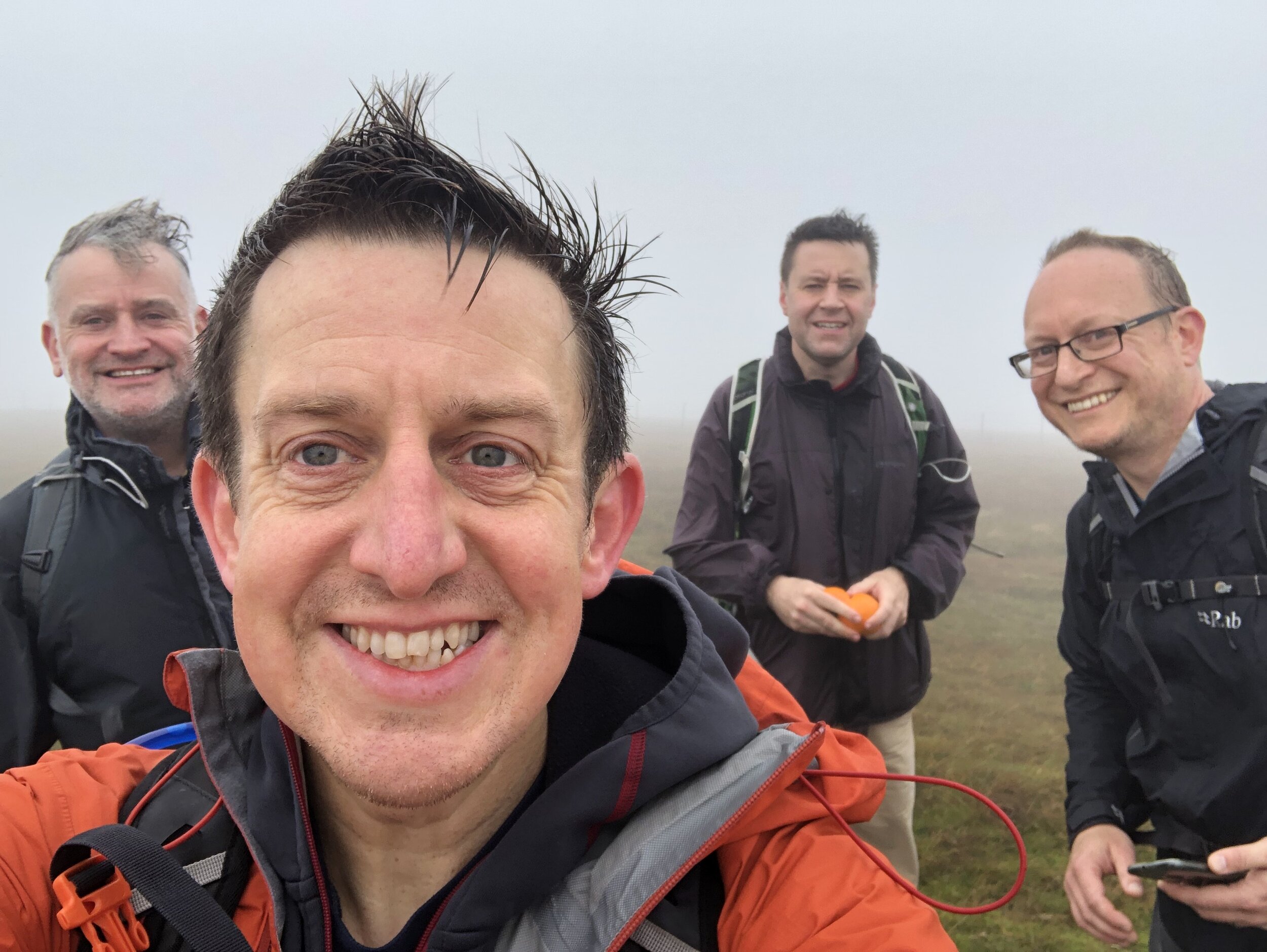
Although our views from the top were a little misty, it was significantly better than the other summits in the trip with no views at all.


Merrick
Significance: Highest peak in Kirkcudbrightshire (Historic County Top), Highest peak in Dumfries and Galloway (Present Day County Top)
Member of: Marilyn, Corbett, Donald
Parent Peak: Helvellyn
Nearest Higher Neighbour: Goatfell
Elevation: 843m
Coordinates: 55° 8' 21'' N, 4° 28' 6'' W
OS Trig Pillar: TP4777 - Merrick
Links: Wikipedia Kirkcudbrightshire), Wikipedia (Dumfries and Galloway), Wikipedia (Merrick), Peakbagger
Kirriereoch Hill-Northwest Slope
Significance: Highest peak in Ayrshire (Historic County Top), Highest peak in South Ayrshire (Present Day County Top)
Member of: N/A
Parent Peak: Kirriereoch Hill
Nearest Higher Neighbour: Kirriereoch Hill
Elevation: 782m
Coordinates: 55° 9' 11'' N, 4° 28' 53'' W
Links: Wikipedia (Ayrshire), Wikipedia (South Ayrshire), Wikipedia (Kirrieroch Hill), Peakbagger
For both peaks:
Date climbed: 24th September 2021
Route Start / End: Upper Bruce's Stone Car Park, Newton Stewart, DG8 6SU
Route Distance: 16.7 km (10.4 miles)
Route Elevation Change: +/- 1,114m
Subsidiary tops on route: Benyellary (719m), Kirriereoch Hill (786m)
GPX File: get via Buy Me a Coffee
Other routes touched (walk): Merrick Trail
Other routes touched (cycle): NCN 7 passes through Upper Bruce’s Stone Car Park
Map: OS Explorer Map (318) Galloway Forest Park North
Guidebook: The UK's County Tops (Jonny Muir)
After an overnight in nearby Newton Stewart we tackled the big climb of the trip. Merrick is the highest point in the Historic County of Kirkcudbrightshire, the Present-Day County of Dumfries and Galloway and both the highest peak in the Southern Uplands and Southern Scotland.
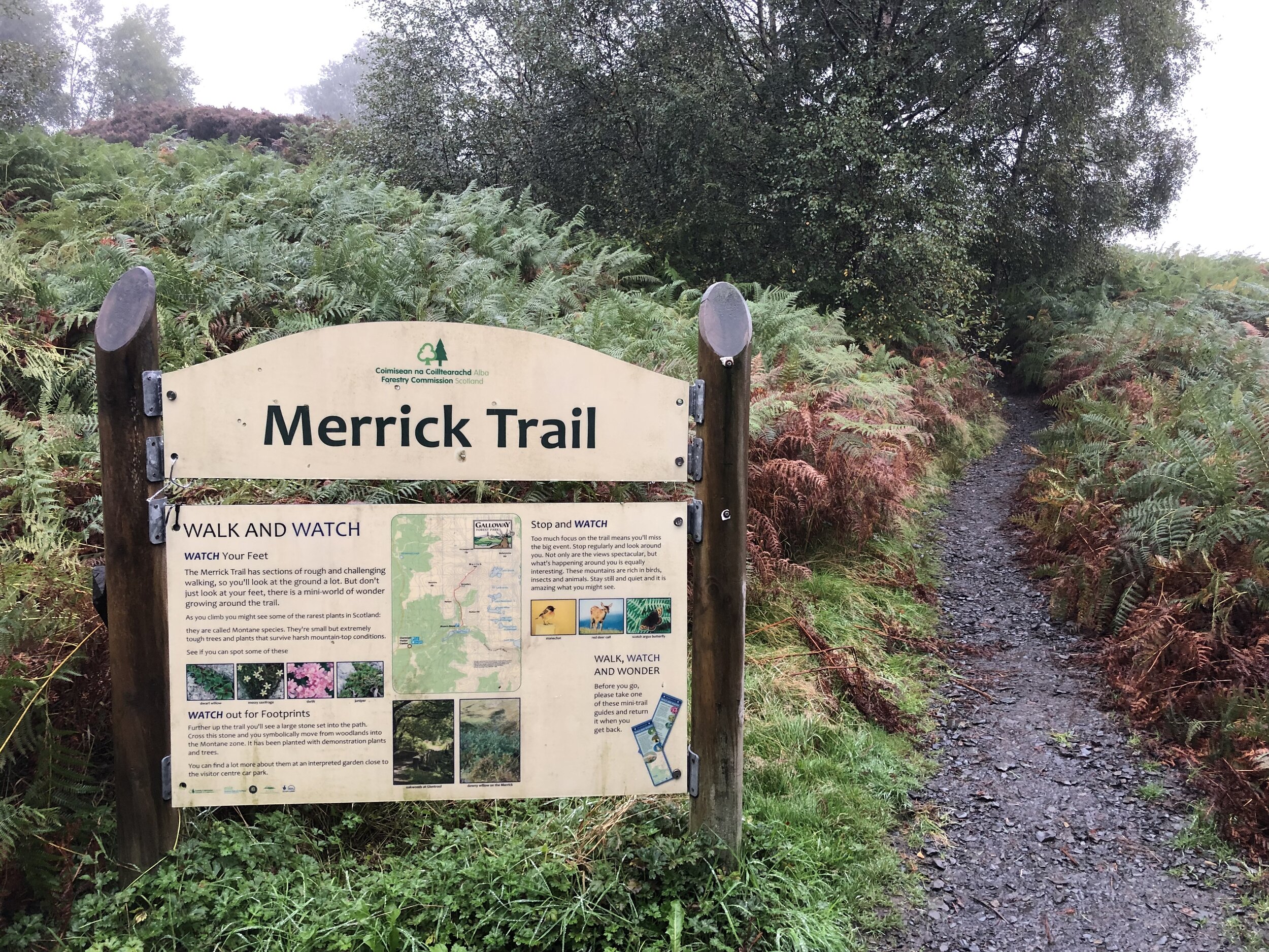
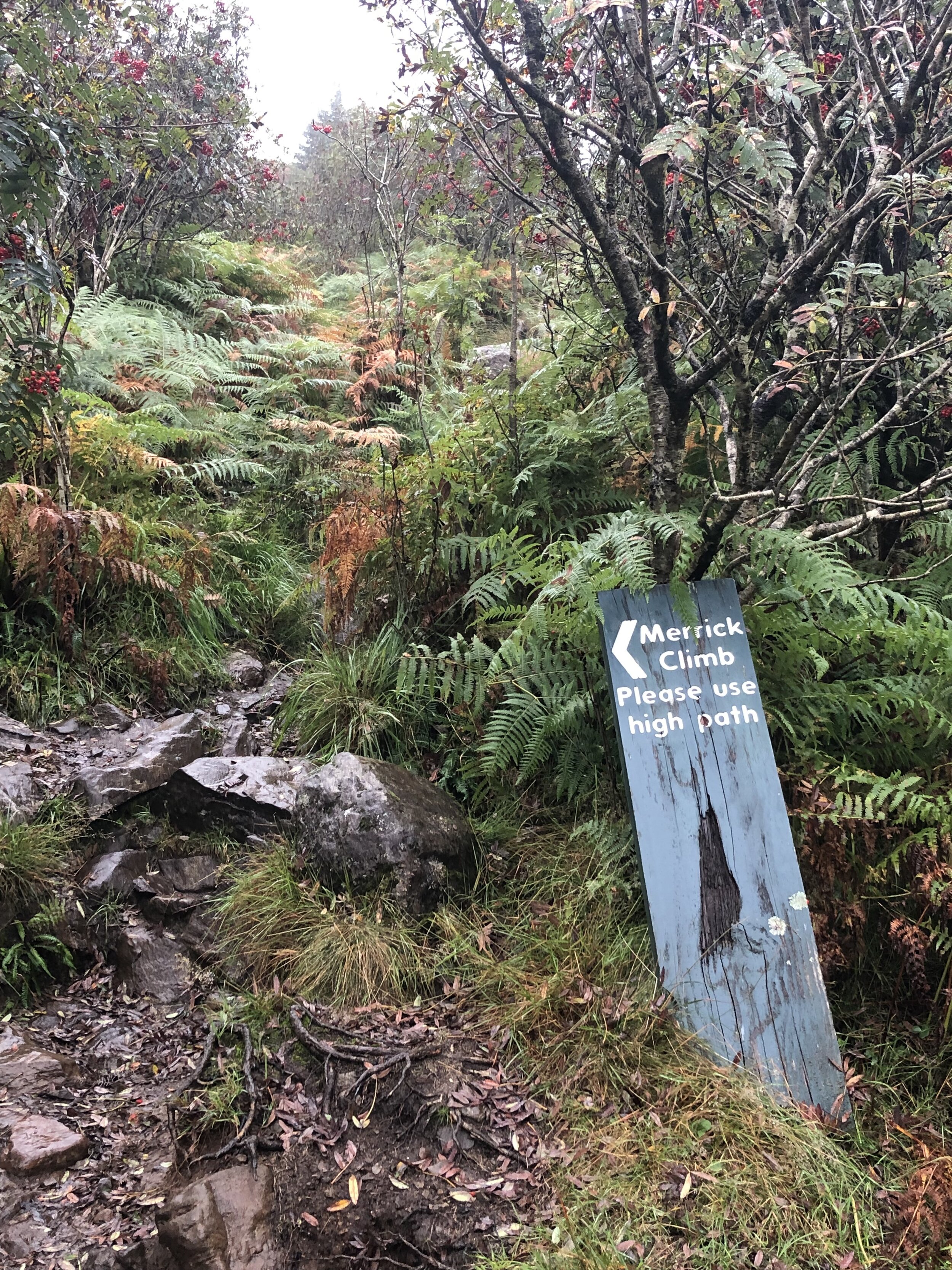
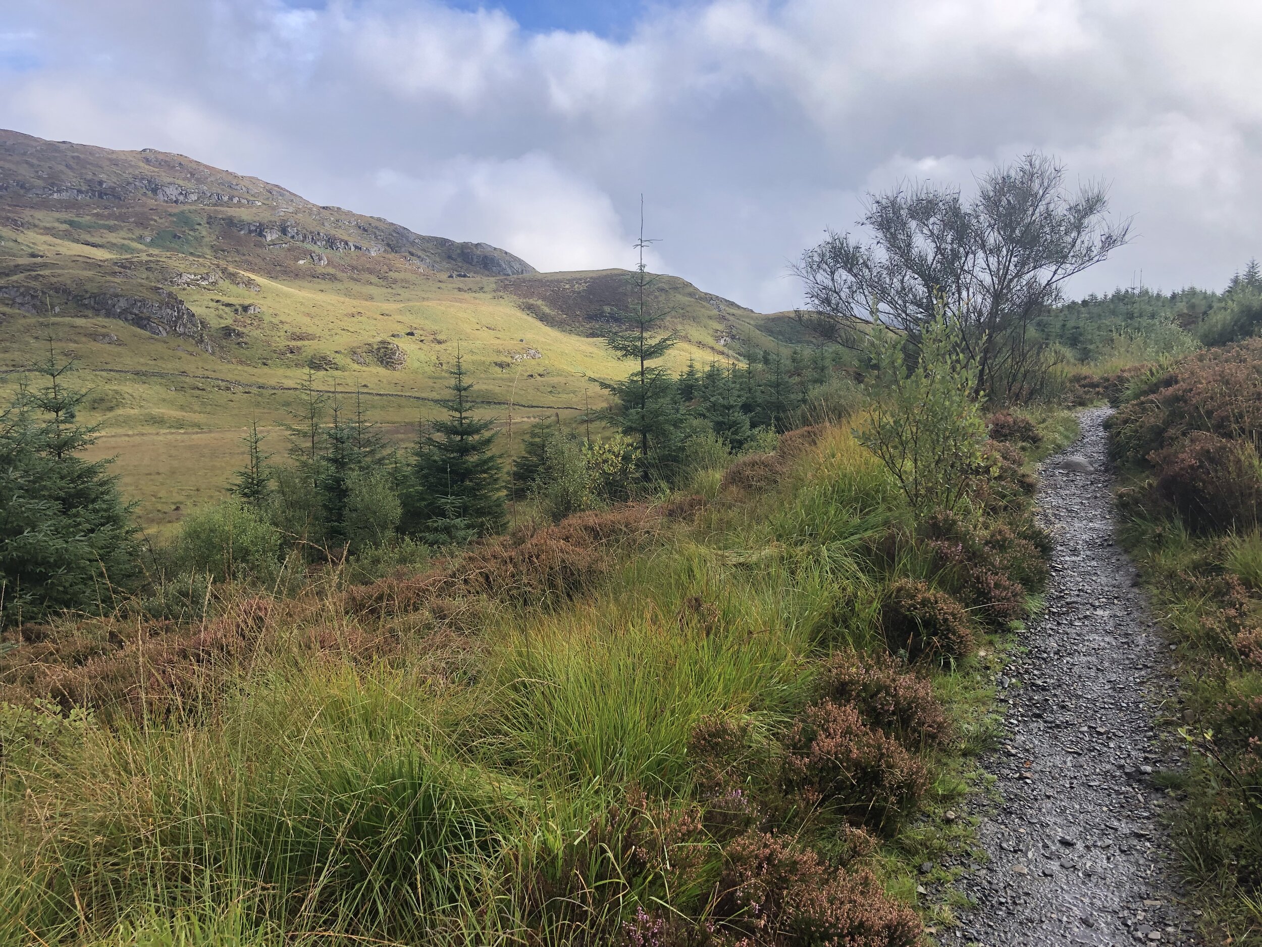
The Merrick Trail is a well marked path leading from Upper Bruce’s Stone Car Park to the summit. Before you start the walk, take 10 minutes to see the carved granite stone that commemorates victory over an English army during the Scottish Wars of Independence in 1307.
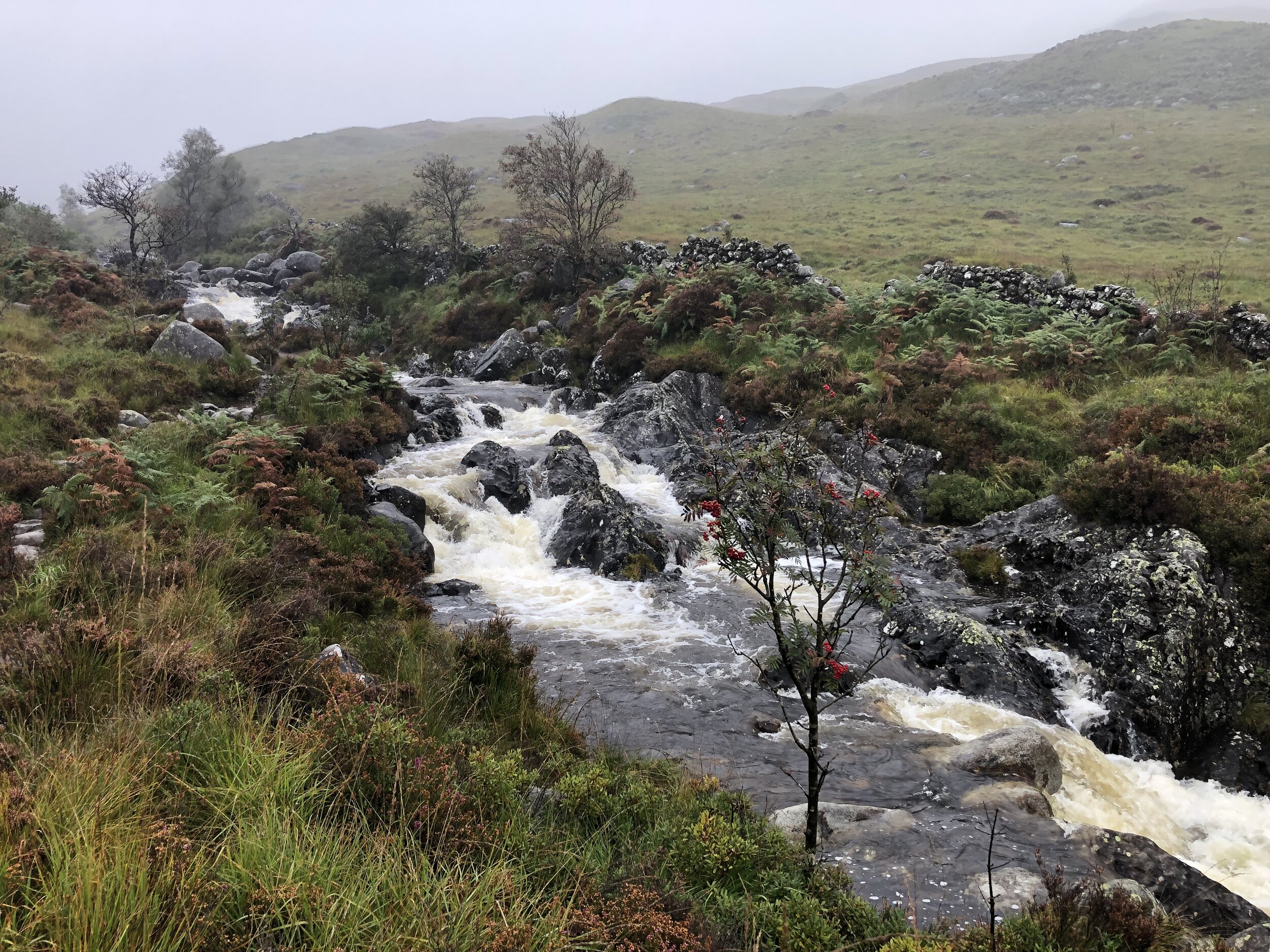
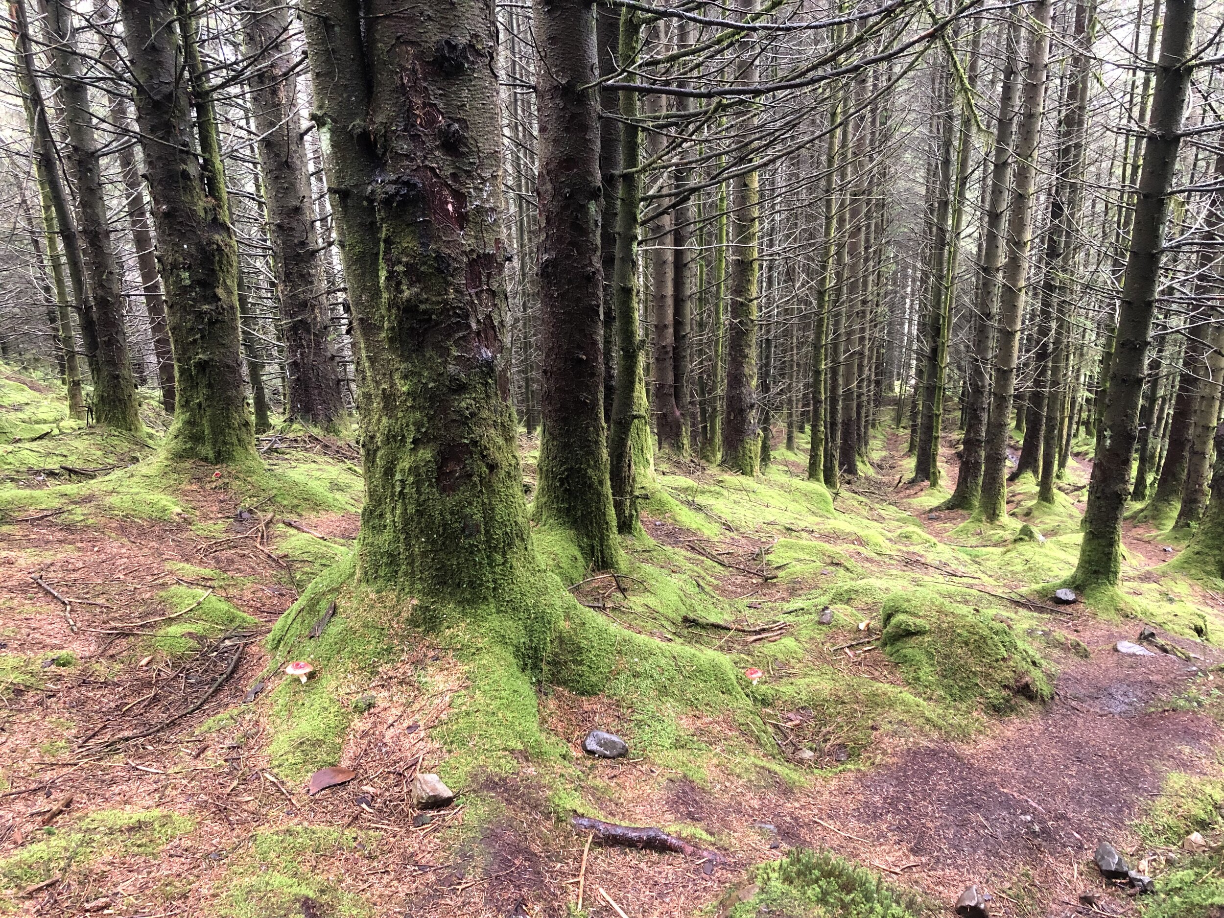
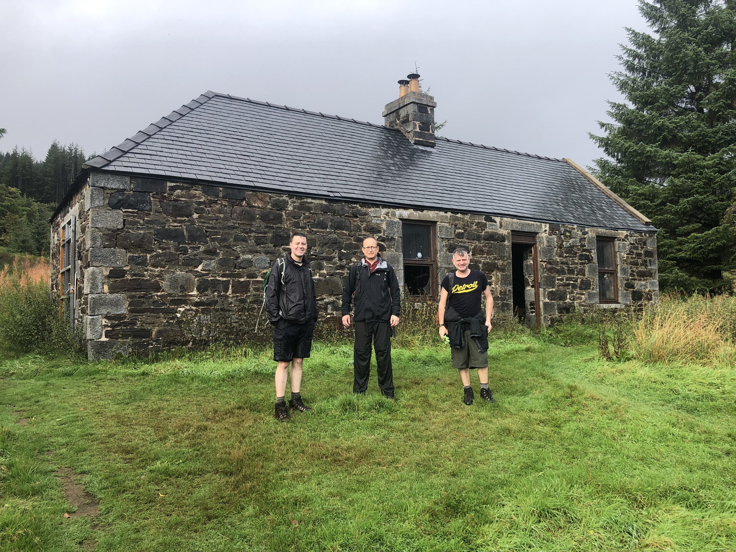
On a clear, warm day this would have been a wonderful walk. From the summit you can see Snowdon, 144 miles away on the longest line of sight in the British Isles. This wasn’t the day to see anything. After the bothy and the forest section, the mist turned to cloud and we only saw what was 10m in front of us. By the time we reached the Trig Pillar at the summit there was also strong wind and rain. This would have been a great time to turn back and head down to a warmer, clearer elevation.
There was no turning back though as we still had another County Top to visit. The high point of Ayrshire is just beyond the summit of Kirriereoch Hill approximately 2km from the summit of Merrick. We relied on the GPX track as the path was hard to make out in the fog. Kirriereoch Hill’s summit is well marked by a pile of stones. From here, the County Top of Ayrshire is 100m to the north just beyond the remains of an old stone wall. The map on my phone showed the county boundary about 20m beyond the wall. Although it wasn’t completely clear exactly where the County Top was, we at least stopped by several possibilities.
From Kirriereoch Hill, the path continues north to a series of other summits. We had already got what we came for and turned back to re-trace our steps back over Merrick and down to the Bruce’s Stone. With the big one done, we drove 2 hours north-east to Strathaven, our overnight stop before the next set of peaks.


Culter Fell
Significance: Highest peak in Lanarkshire (Historic County Top), Highest peak in South Lanarkshire (Present Day County Top)
Member of: Marilyn, Graham, Donald
Parent Peak: Broad Law
Nearest Higher Neighbour: Broad Law
Elevation: 748m
Date climbed: 25th September 2021
Coordinates: 55° 32' 46'' N, 3° 30' 10'' W
Route Start / End: Layby on right hand side of minor road south of Culter Allers Farm
Route Distance: 7.1 km (4.4 miles)
Route Elevation Change: +/- 484m
Subsidiary tops on route: None
GPX File: get via Buy Me a Coffee
Other routes touched (walk): None
Other routes touched (cycle): None
OS Trig Pillar: TP2681 - Culter Fell
Map: OS Explorer Map 336 Biggar and Broughton
Guidebook: The UK's County Tops (Jonny Muir)
Links: Wikipedia (Lanarkshire), Wikipedia (South Lanarkshire), Wikipedia (Culter Fell), Peakbagger
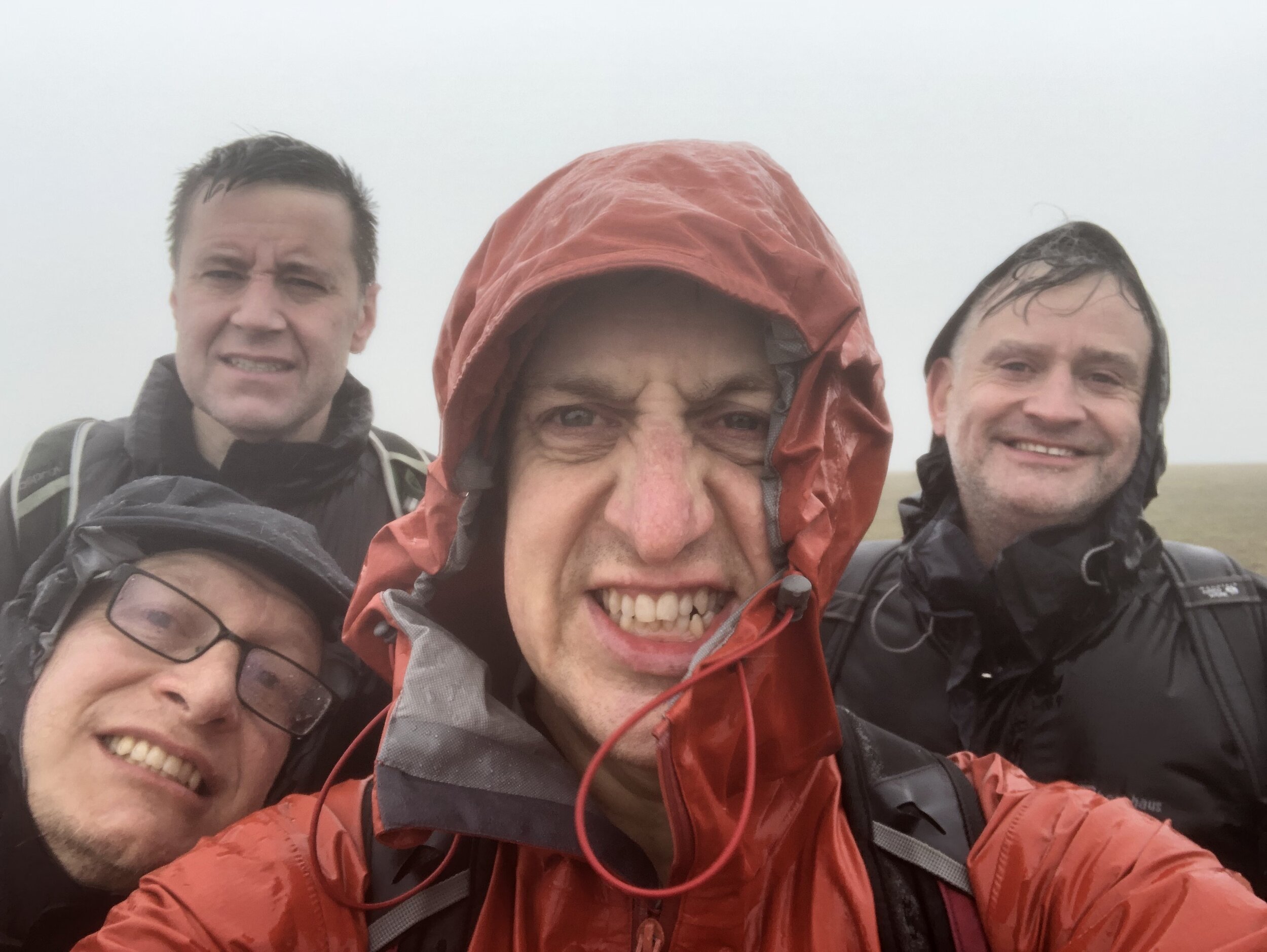
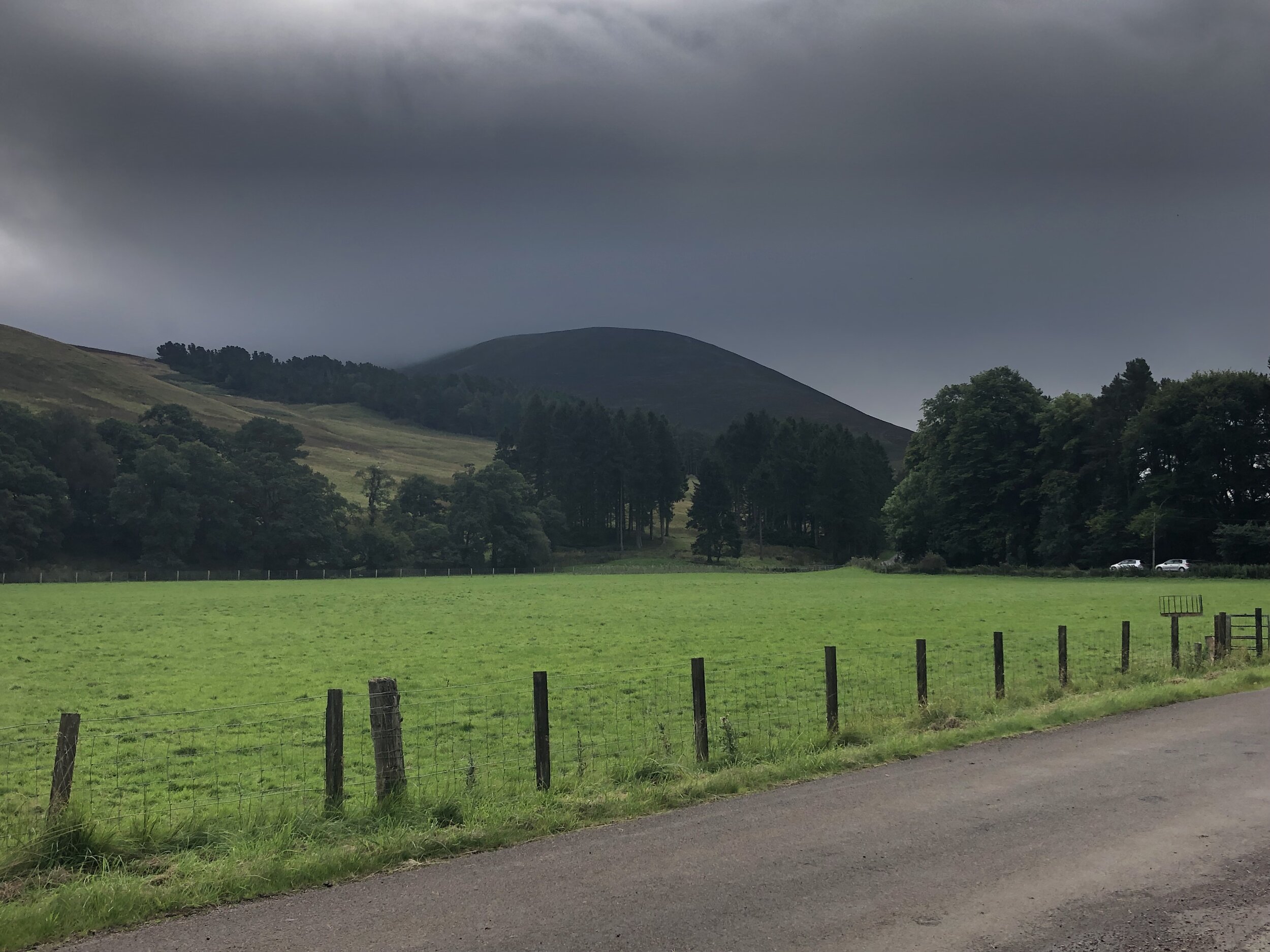
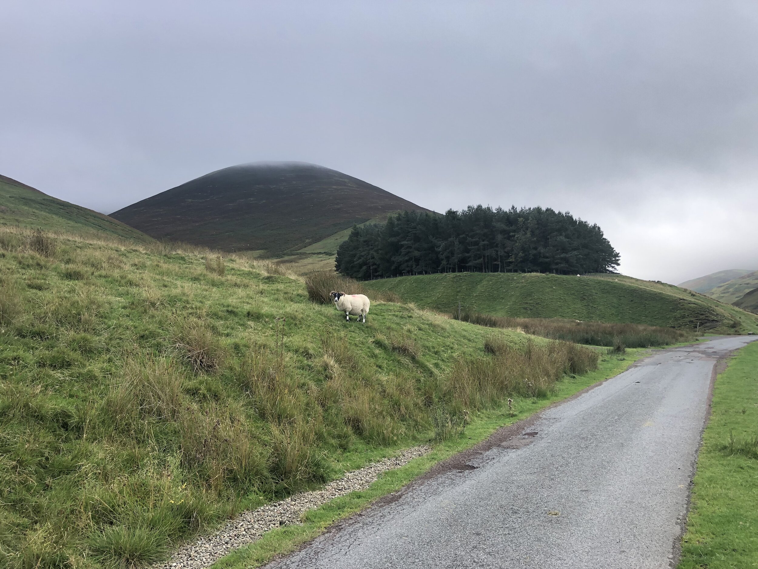
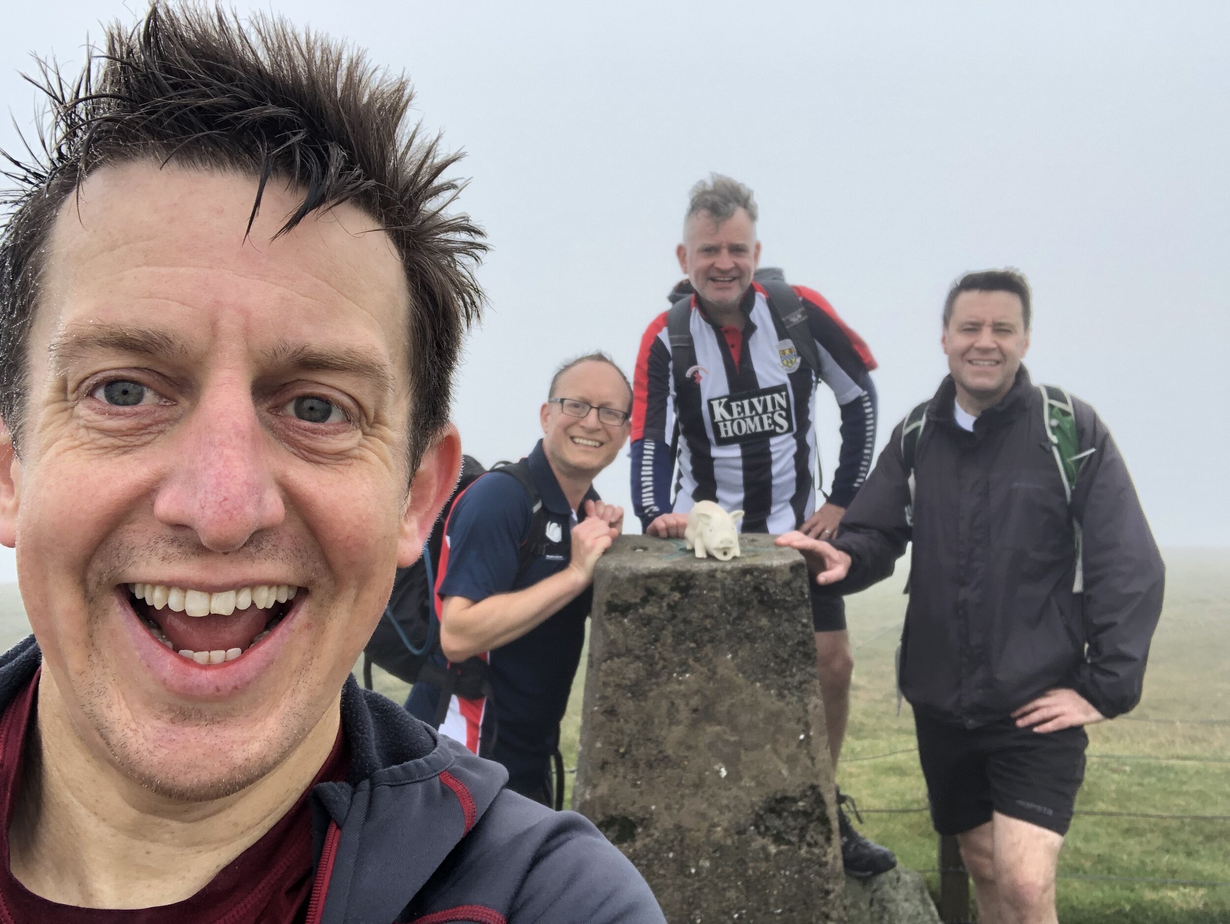
Culter Fell was our first of 3 peaks, covering 4 counties, located close together to the north-east of Moffat. It’s possible to do all three on a single day with an early start and enough light. It was a Saturday and we also needed to get in a parkrun, so we did a combination of Lanark Moor parkrun, with Culter Fell and Broad Law.
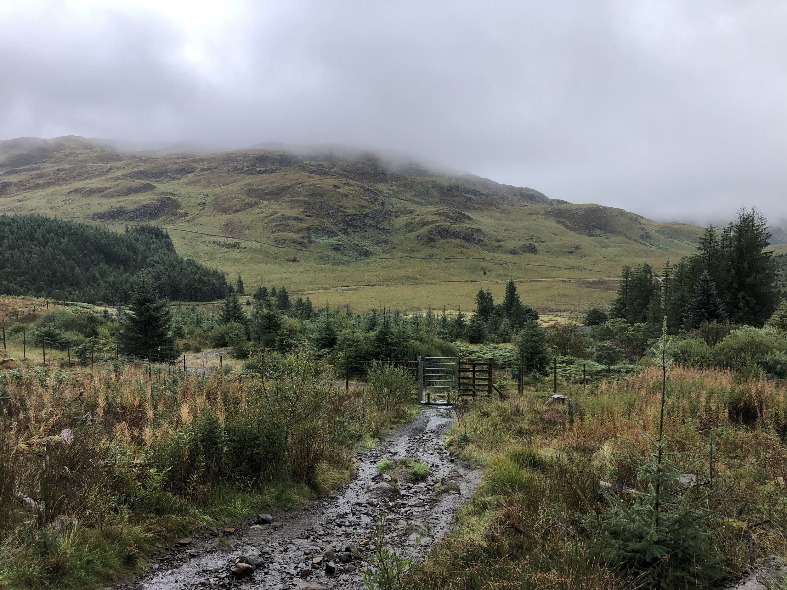
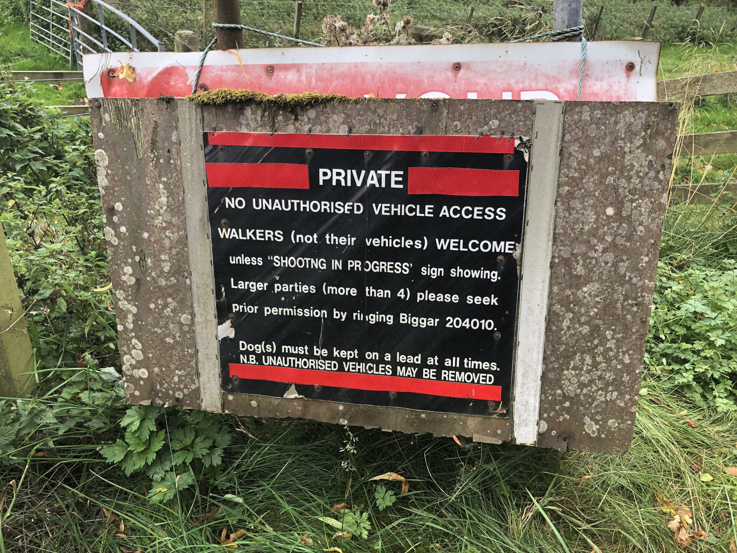
There’s enough parking for several cars on a large layby near Culter Allers Farm. From here you can follow the road south, crossing over Culter Water stream. You’re now on private land which is open to walkers but occasionally closed for shooting. You can call 01899 204010 to check access or to request permission for groups of over 4.
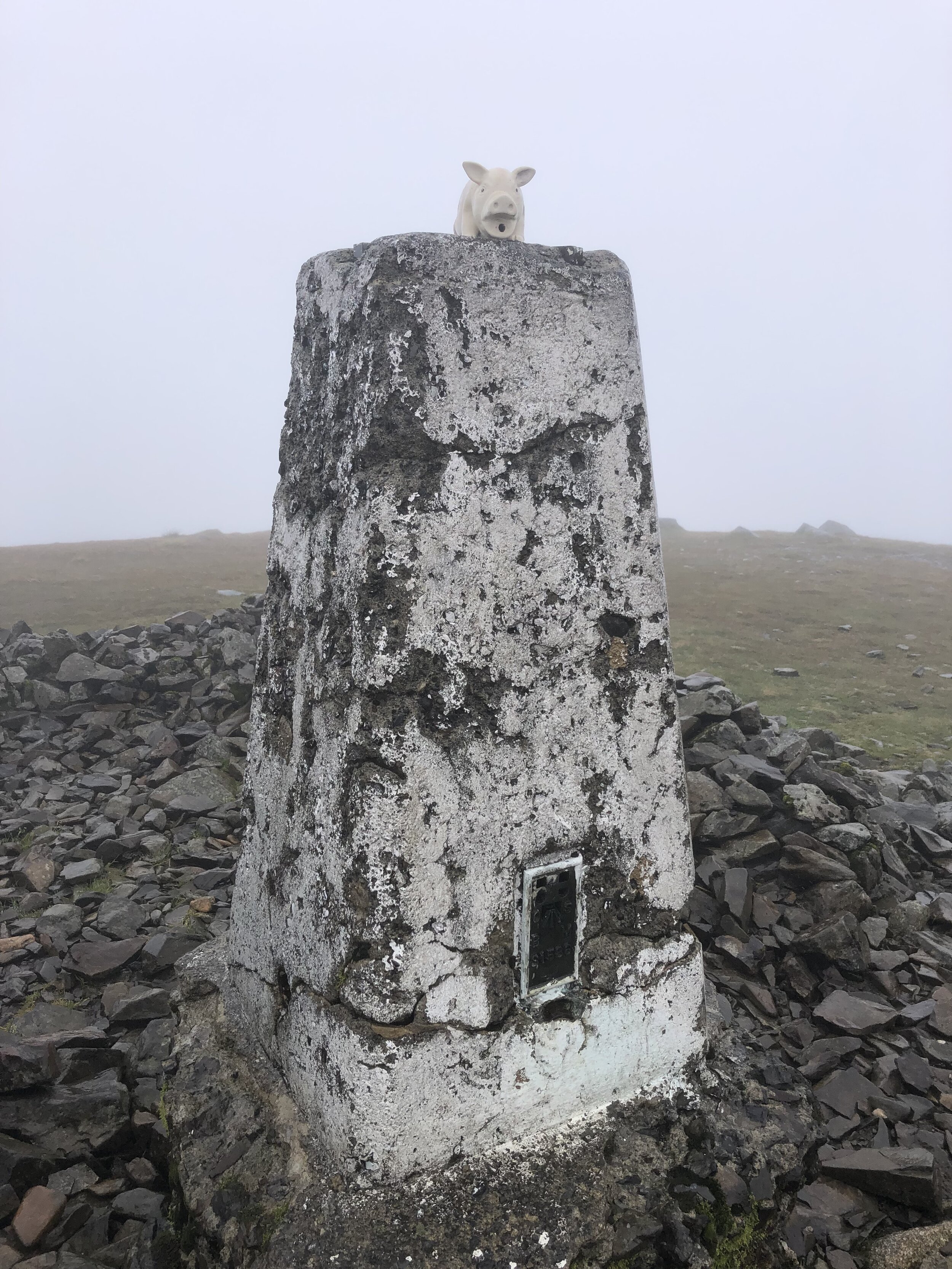
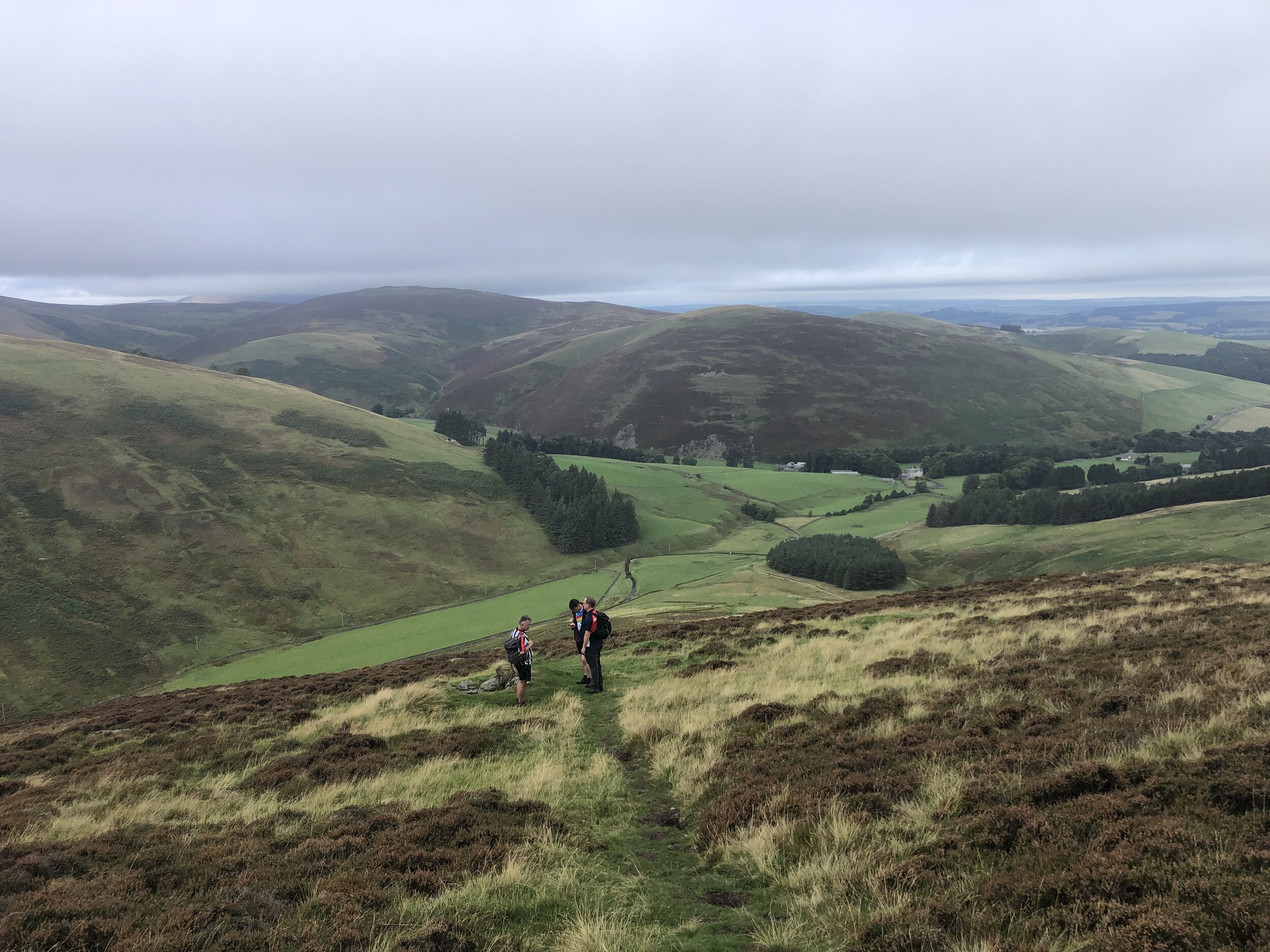
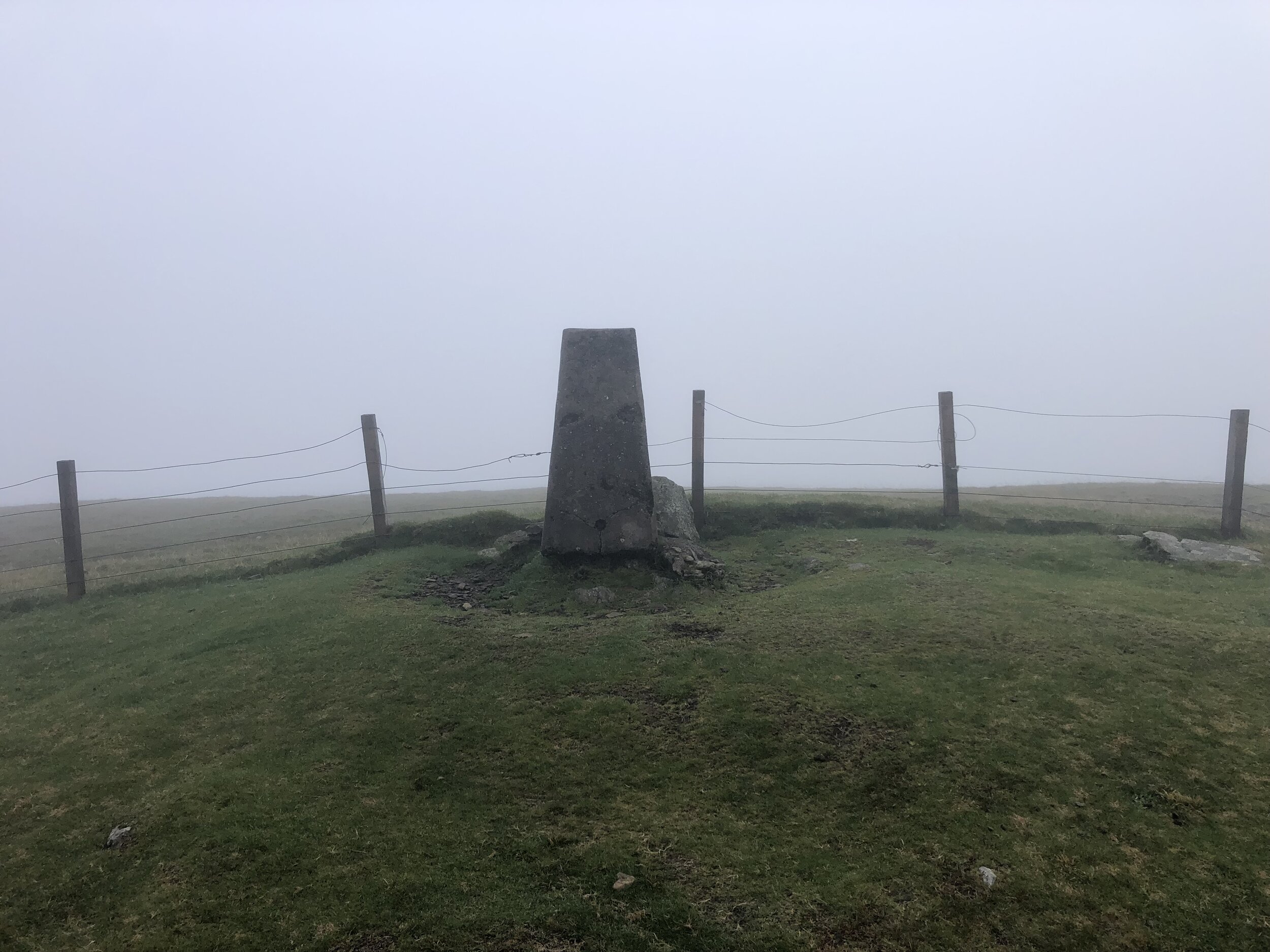
Approximately 1km from the layby leave the road and follow a track, then a path, ascending to the south-east. The path to the Trig Pillar at the summit is well marked and difficult to miss even in low visibility as we had. Options at the summit are to return the same way, as we did, or continue south, then south-west to Coulter Head Reservoir and return back along the road.


Broad Law
Significance: Highest peak in Peeblesshire and Selkirkshire (Historic County Top), Upper Tweeddale NSA High Point
Member of: Marilyn, Corbett, Donald
Parent Peak: Merrick
Nearest Higher Neighbour: Merrick
Elevation: 840m
Date climbed: 25th September 2021
Coordinates: 55° 29' 53'' N, 3° 21' 10'' W
Route Start / End: Layby next to Megget Stone, Biggar, ML12 6QR
Route Distance: 7.4 km (4.6 miles)
Route Elevation Change: +/- 372m
Subsidiary tops on route: None
GPX File: get via Buy Me a Coffee
Other routes touched (walk): None
Other routes touched (cycle): None
OS Trig Pillar: TP1647 - Broad Law
Map: OS Explorer Map 330 Moffat and St Mary's Loch
Guidebook: The UK's County Tops (Jonny Muir)
Links: Wikipedia (Peeblesshire), Wikipedia (Selkirkshire), Wikipedia (Broad Law), Peakbagger
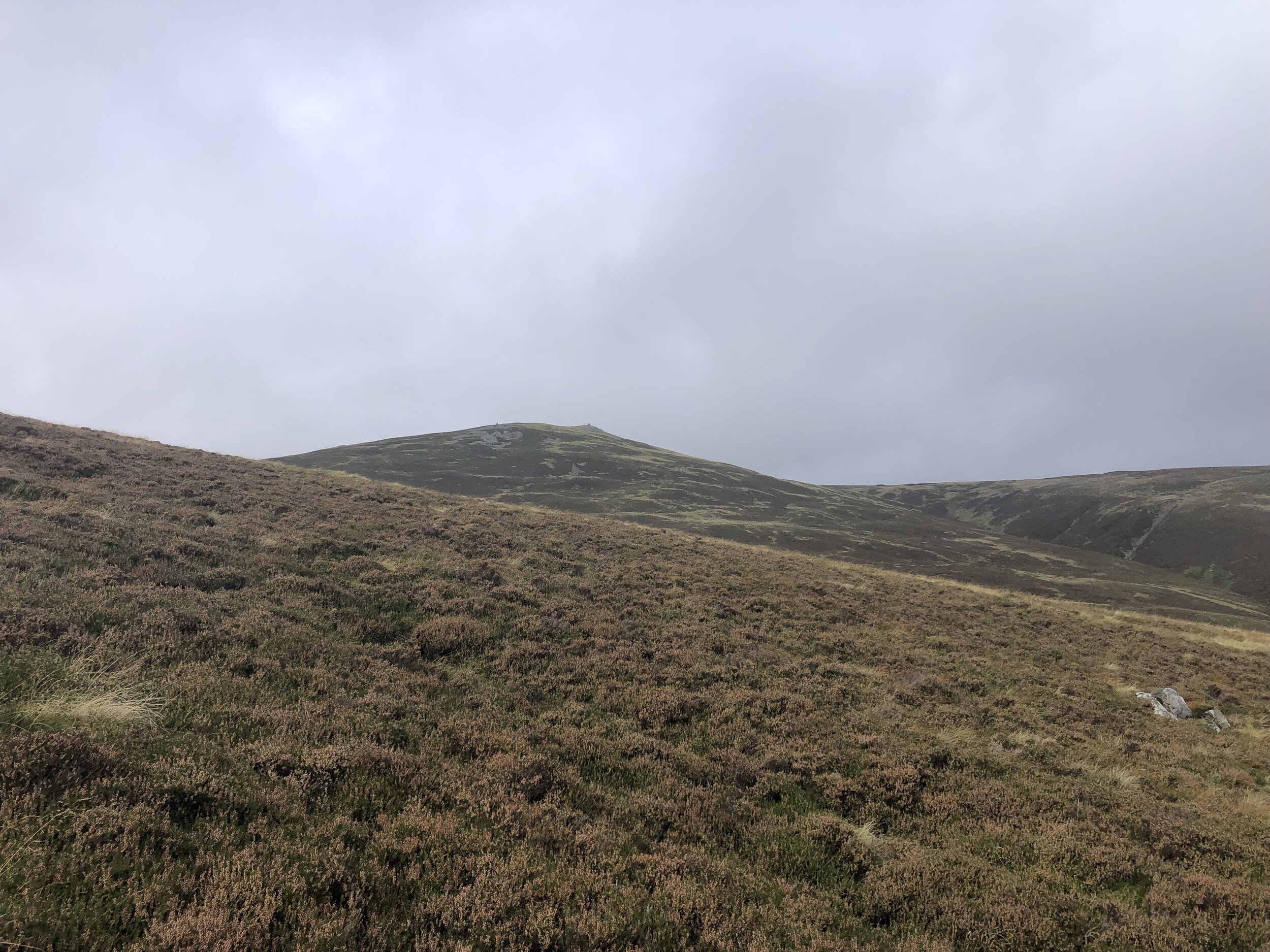
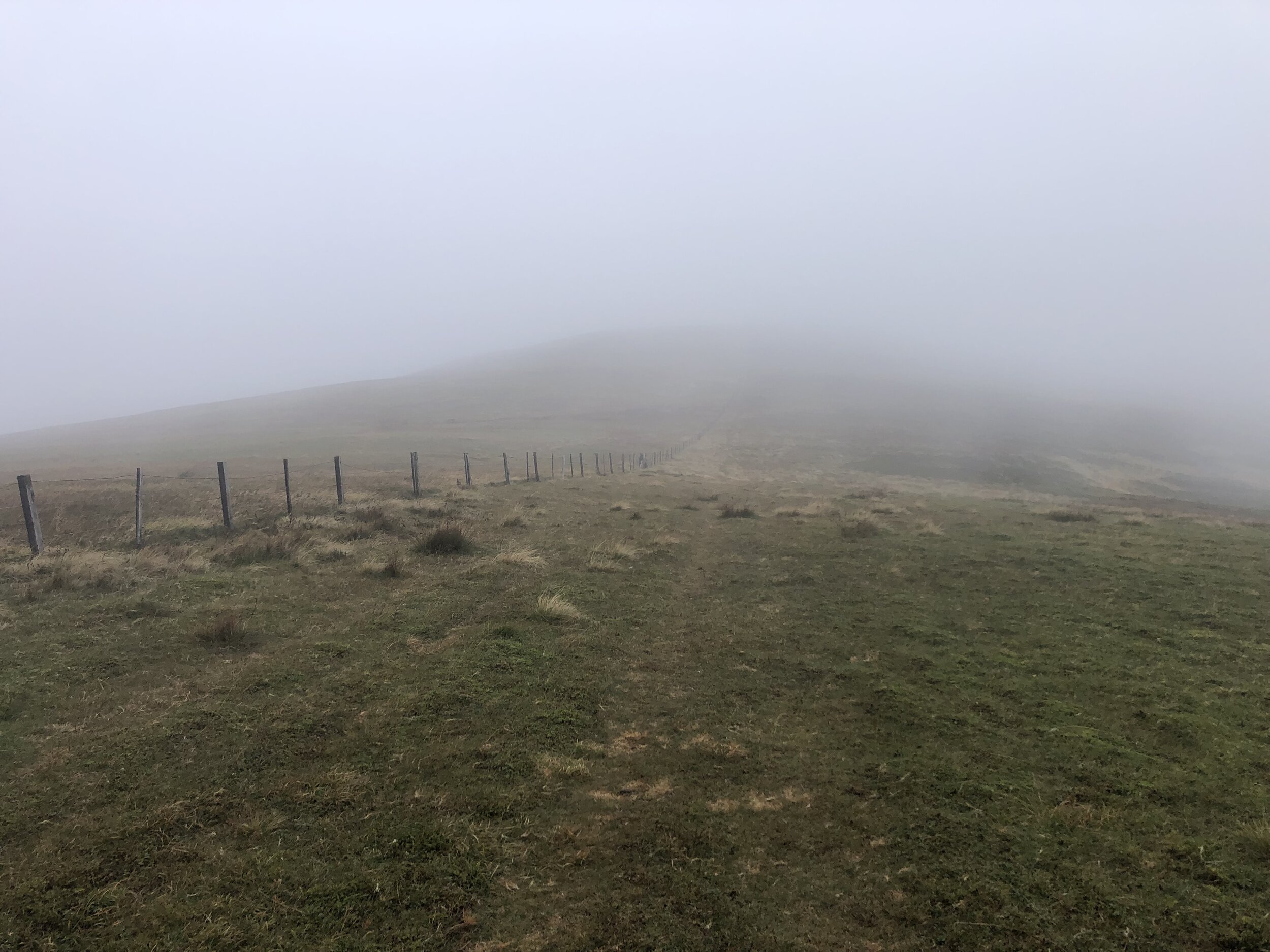
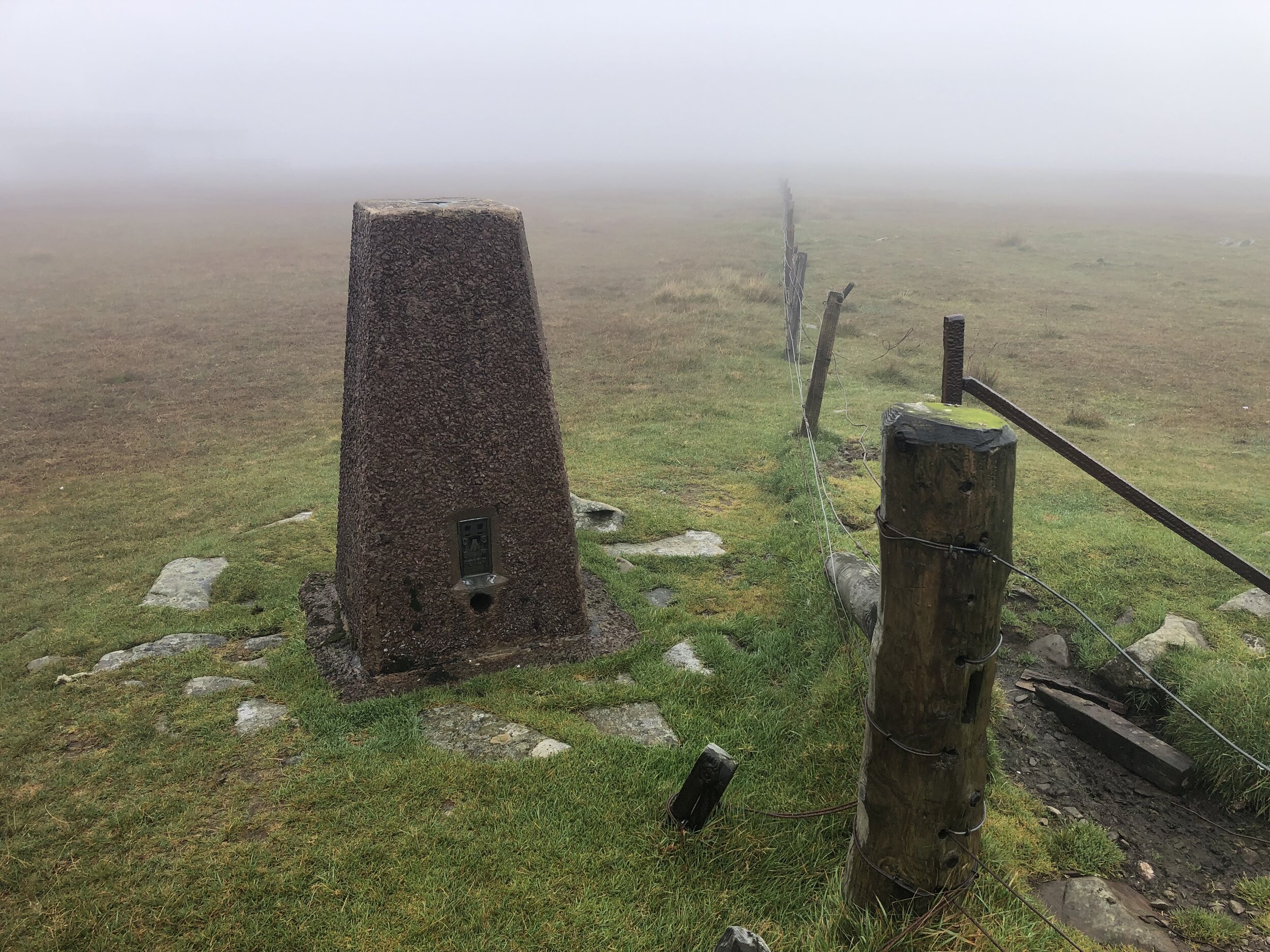
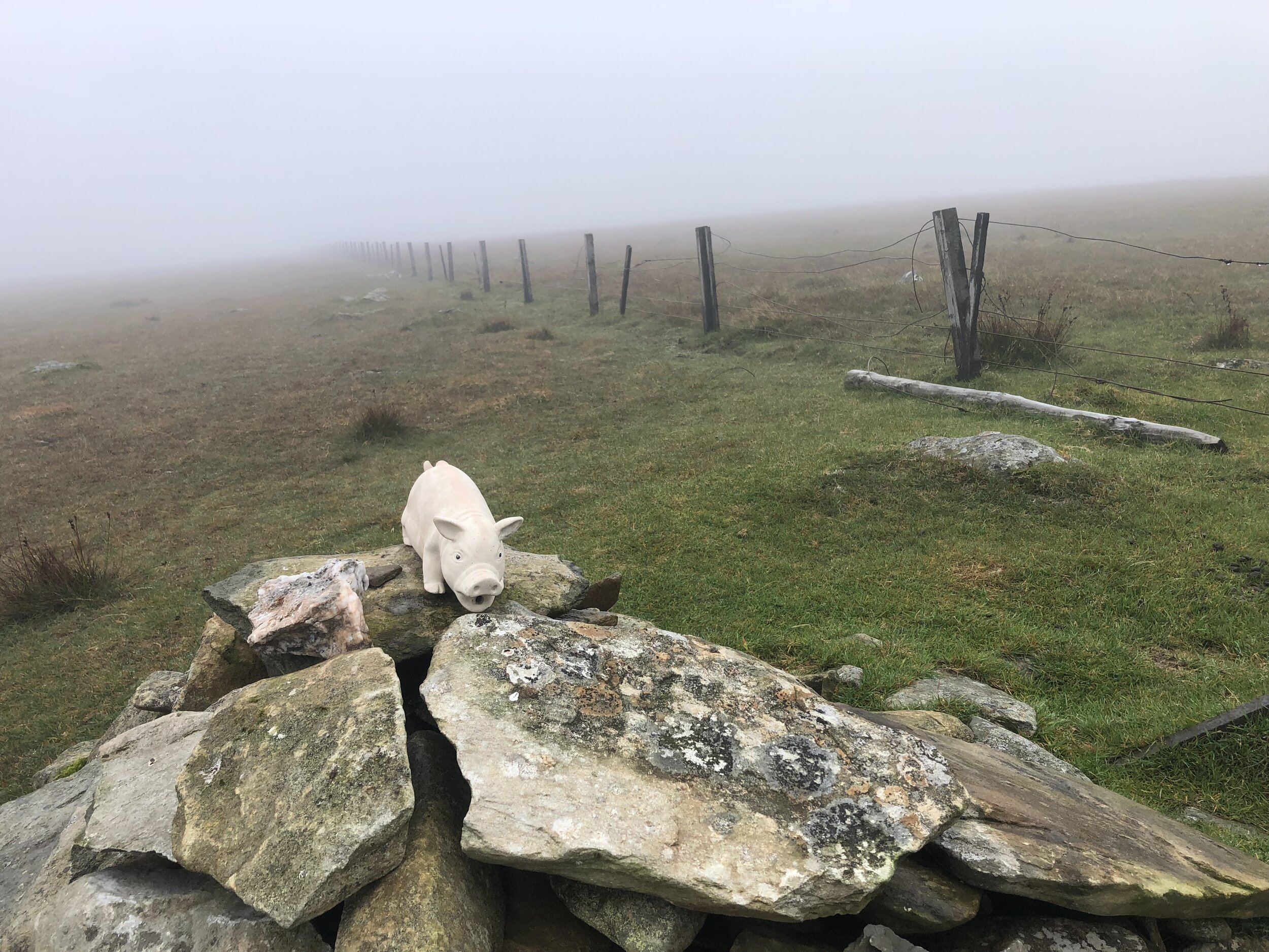
Looking back on our Broad Law walk a week after we did it, it’s hard to distinguish it from our Culter Fell walk. With a similar distance, elevation change and exactly the same thick fog, both have blurred into one. With better visibility I’m sure the view from Broad Law would have been impressive given its height, just 3m lower than Merrick. We couldn’t even see the large air navigation beacon close to the Trig Pillar on the summit.
Navigation is very easy as the path follows the boundary fence all the way from the road to the summit. The fence is low at the top making it very easy to cross the border to make sure you’ve bagged both of the County Tops on this peak.
White Coomb, our next peak is less than 9km as the crow flies from the Broad Law summit or a 30 minute drive between each parking spot. We’d had enough adventure for one day so came back the following day for the final peak of the trip.
Note that Dun Rig is another contender for the Historic County Top of the former county of Selkirkshire. See the reference to this in the Wikipedia article for Broad Law for details. Although I might return to bag that one later for completeness, I’m happy to claim Selkirkshire for now based on following the list in Jonny Muir’s UK County Tops book.


White Coomb
Significance: Highest peak in Dumfriesshire (Historic County Top)
Member of: Marilyn, Corbett, Donald
Parent Peak: Broad Law
Nearest Higher Neighbour:
Elevation: 821m
Date climbed: 26th September 2021
Coordinates: 55° 25' 21'' N, 3° 19' 25'' W
Route Start / End: National Trust for Scotland Car Park, Grey Mare's Tail Nature Reserve, Moffat Water Valley, DG10 9LP
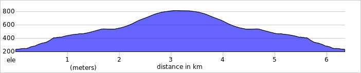
Route Distance: 6.3 km (3.9 miles)
Route Elevation Change: +/- 575m
Subsidiary tops on route: None
GPX File: get via Buy Me a Coffee
Other routes touched (walk): None
Other routes touched (cycle): None
Map: OS Explorer Map 330 Moffat and St Mary's Loch
Guidebook: The UK's County Tops (Jonny Muir)
Links: Wikipedia (Dumfriesshire), Wikipedia (White Coomb), Peakbagger
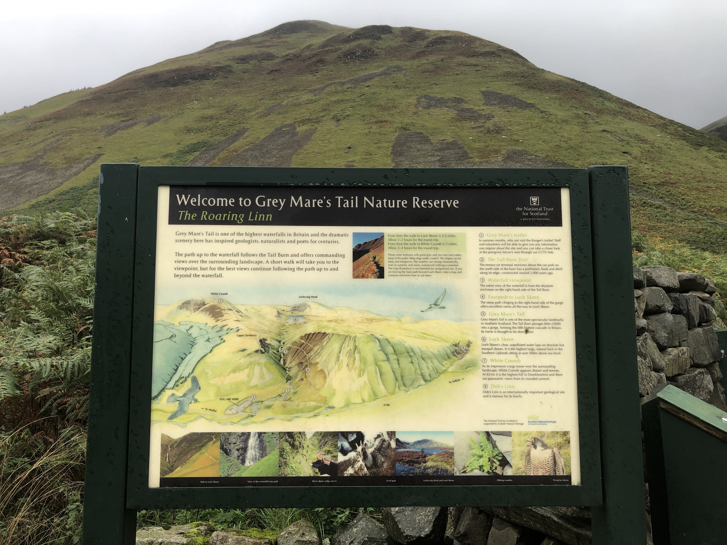
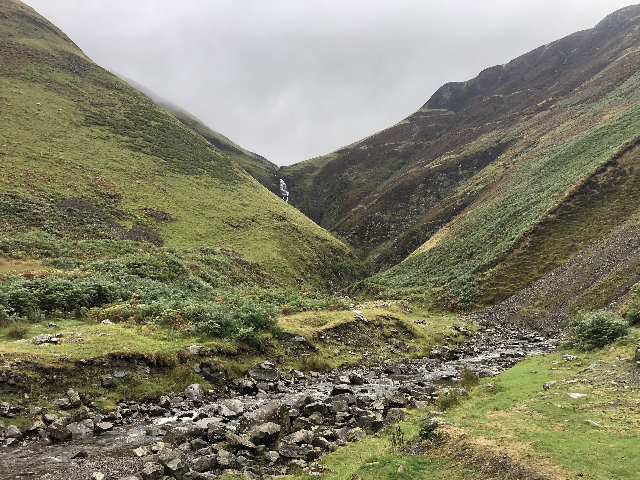
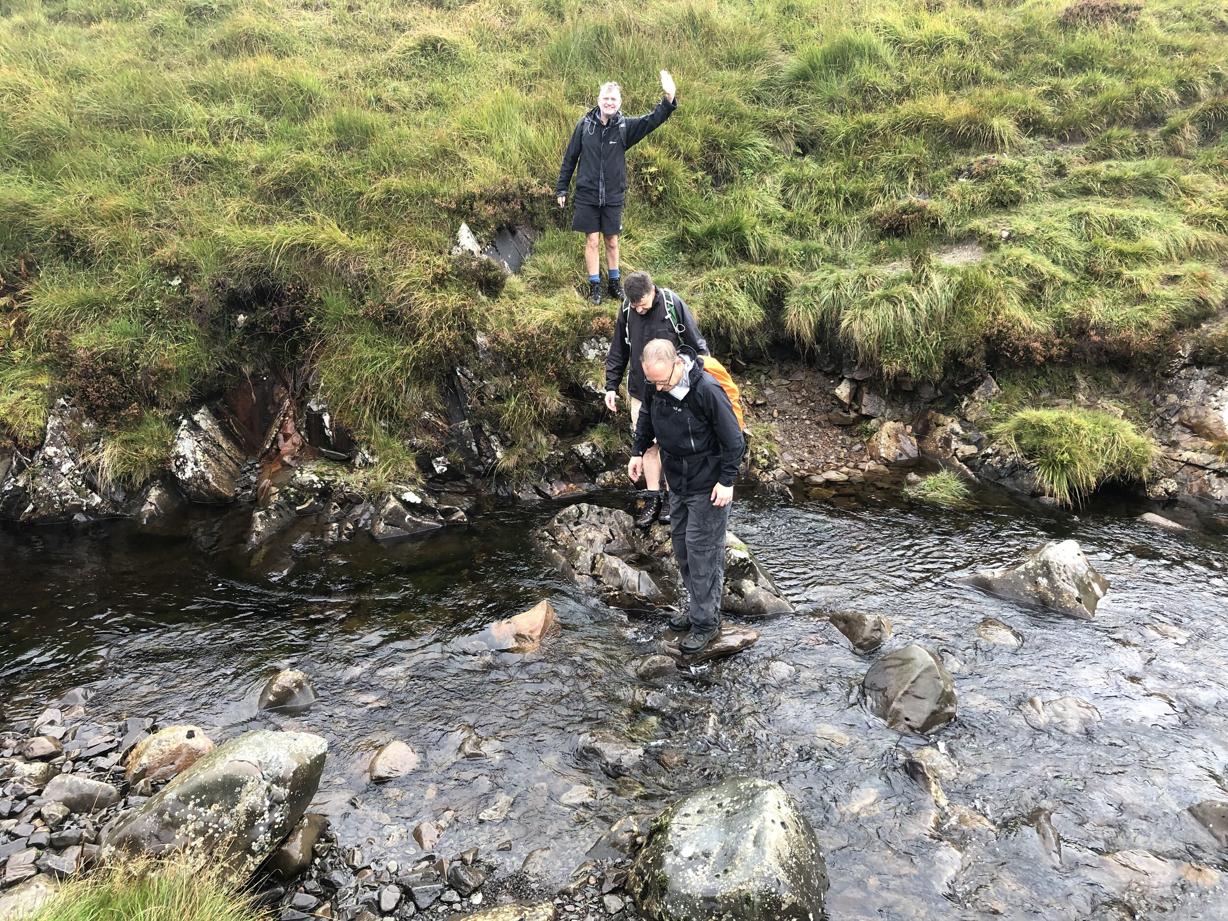
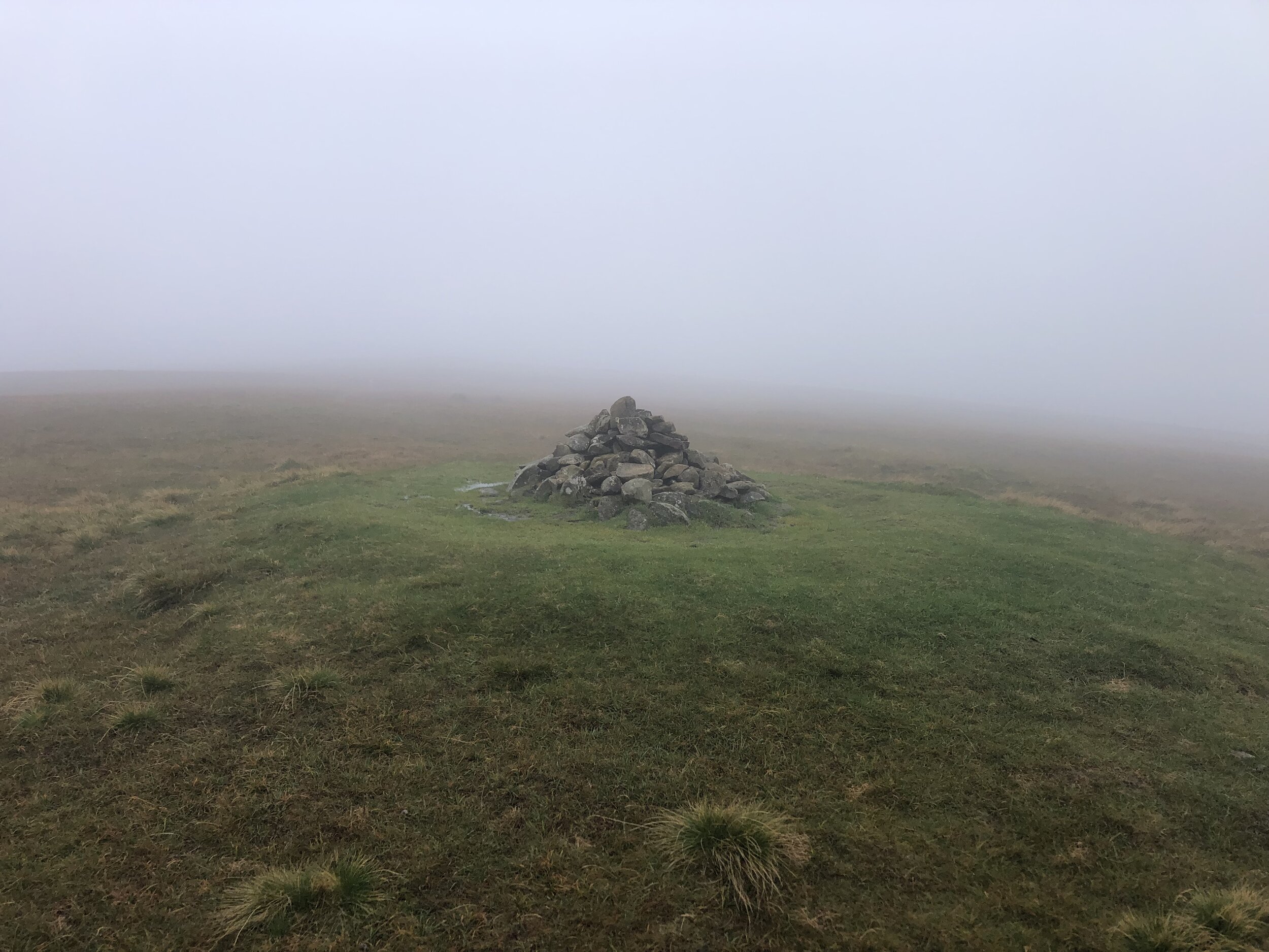
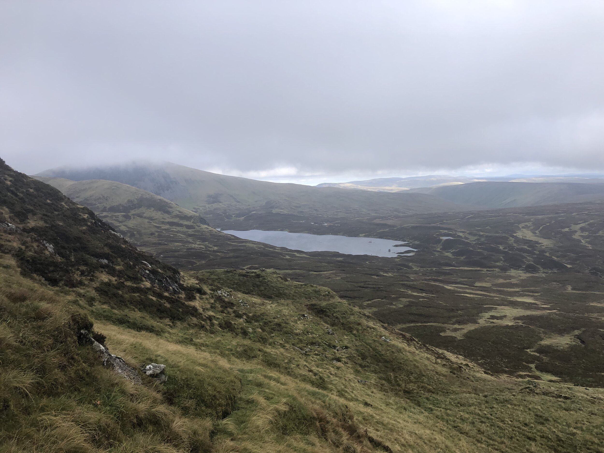
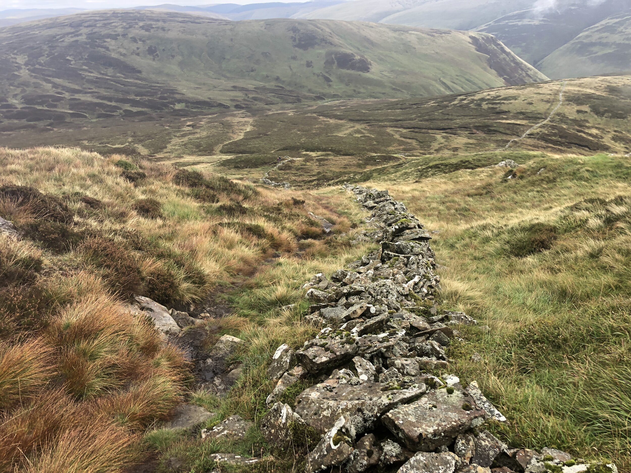
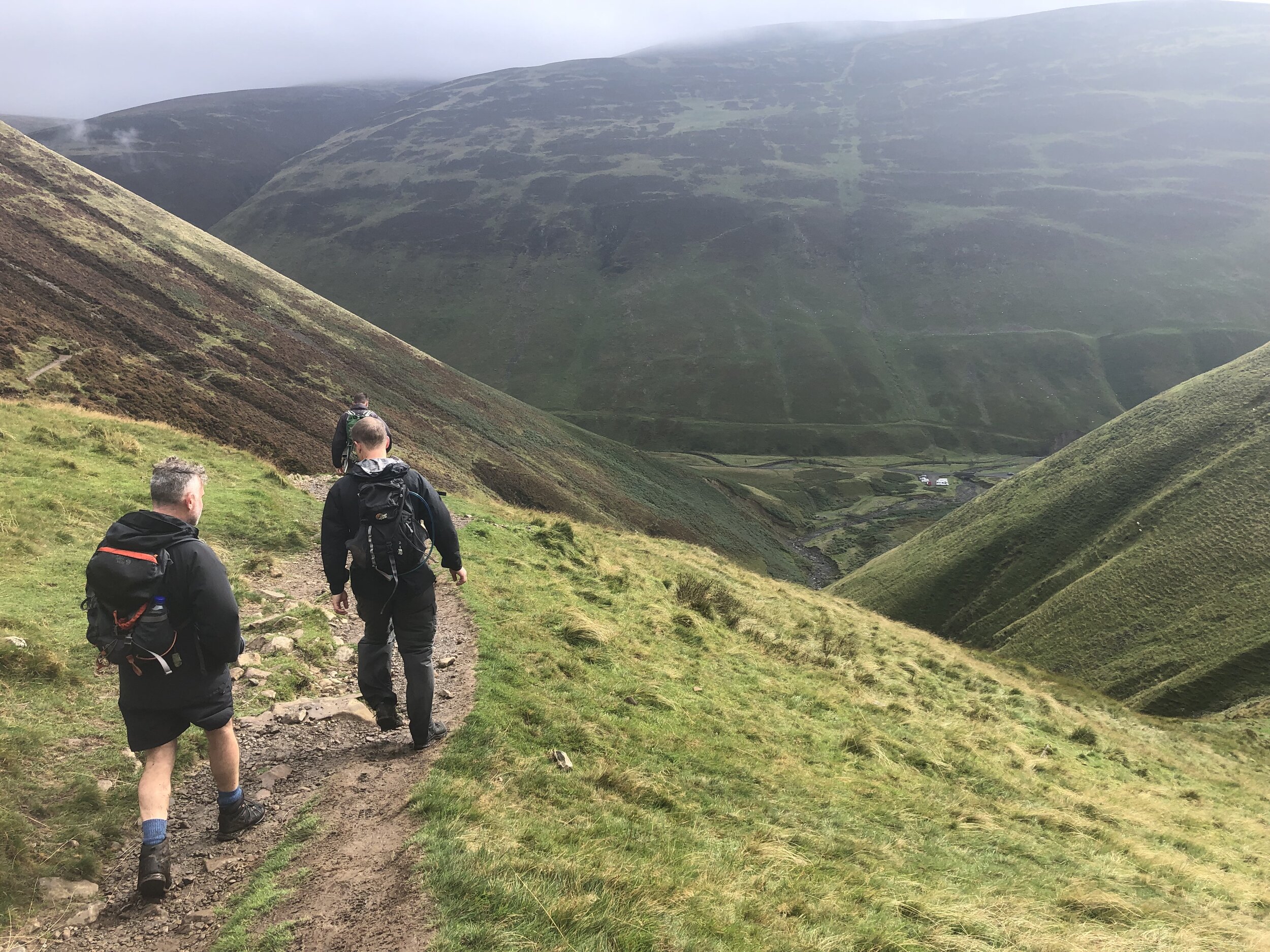
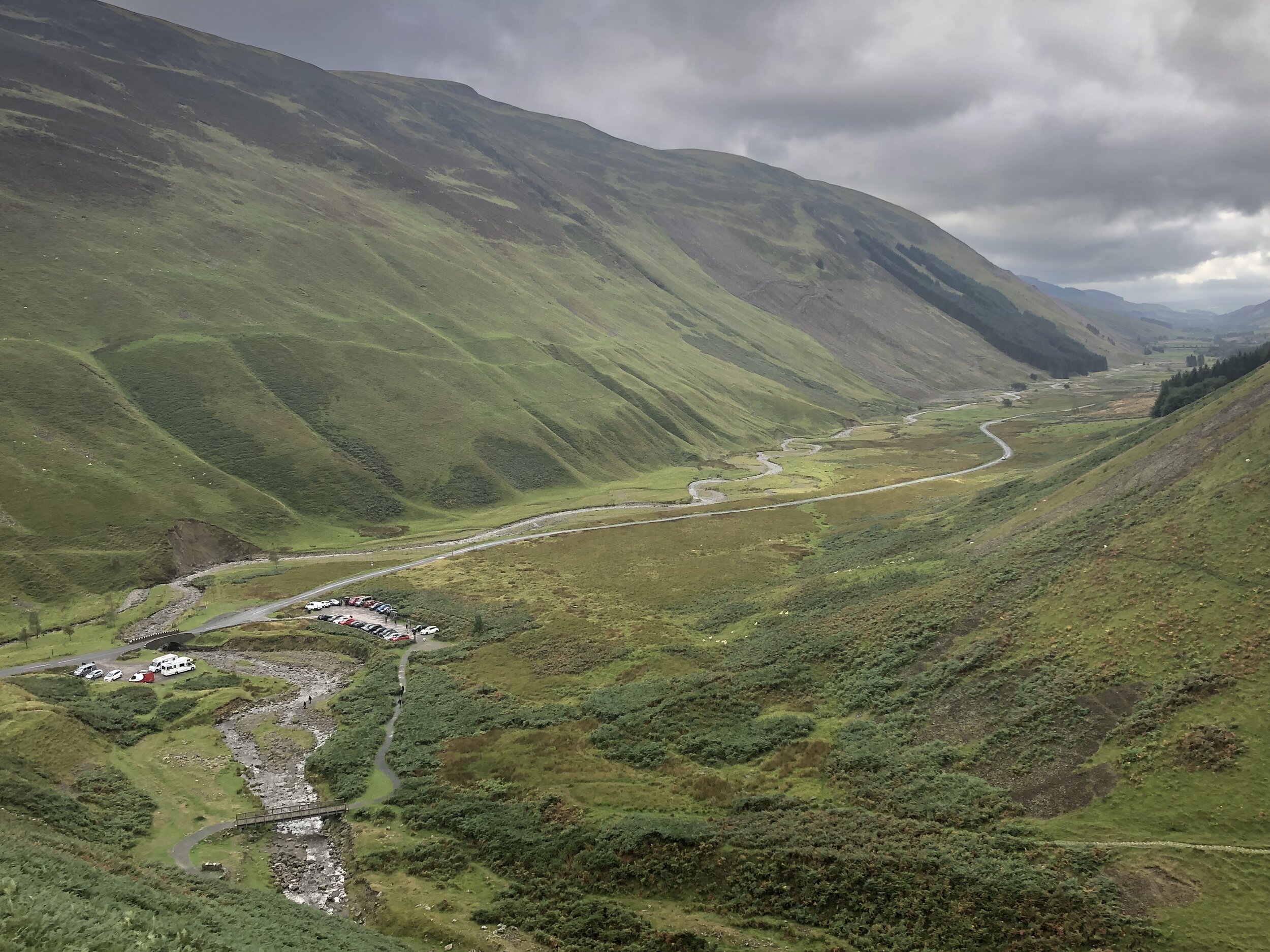
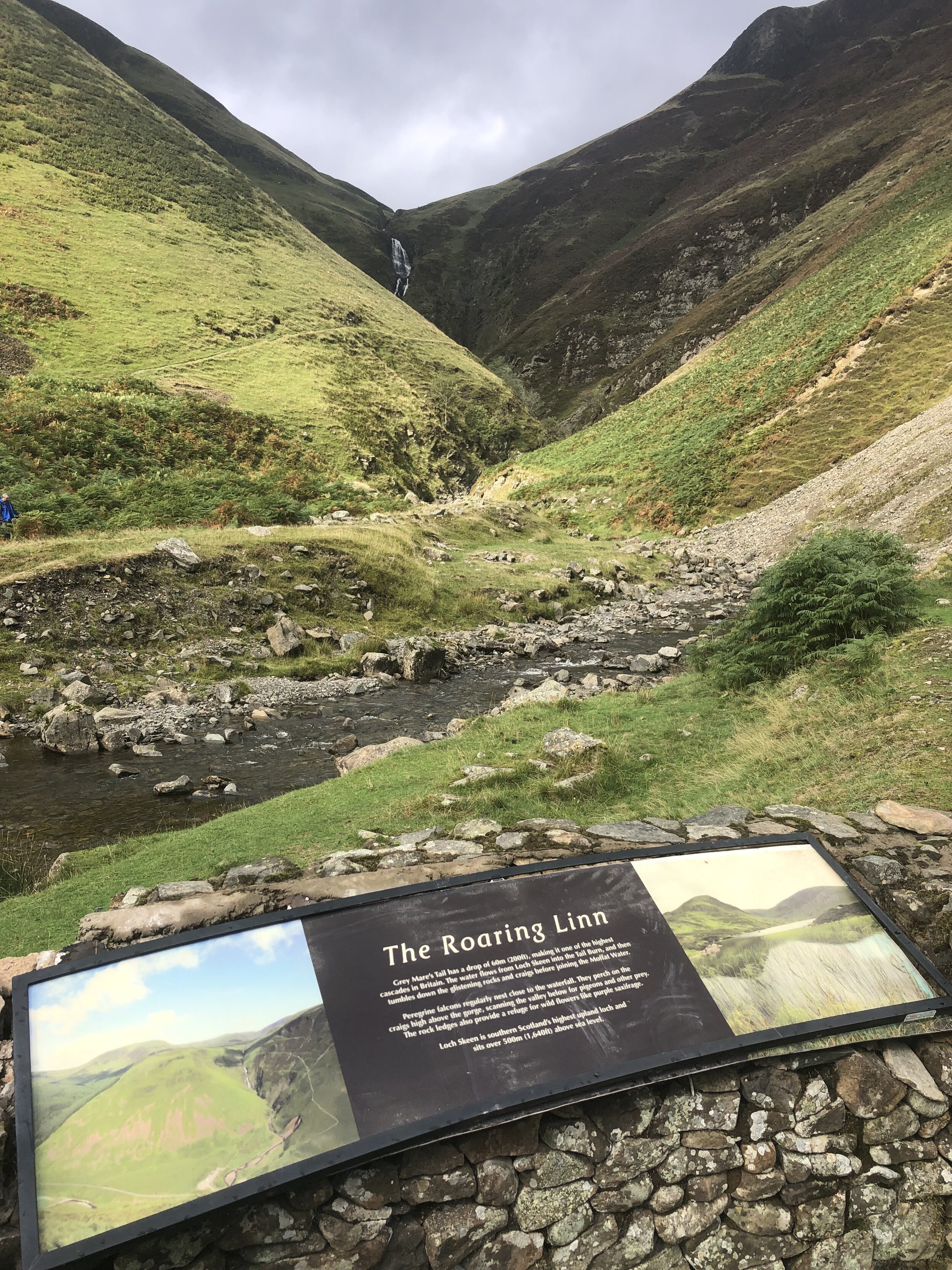
The walk to White Coomb starts at the busy National Trust Car Park at Grey Mare’s Tail. From here the steep path to the right hand side of Tail Burn stream takes most walkers up to Loch Skeen. Follow this for 1.25km to the top of the waterfall where you can cross the stream via some stepping stones. You’ll see a faint path leading down to the stepping stones and the stone dyke wall on the other side. Once crossed, follow the well marked path to the right of the wall to the flat grassy top of White Coomb. You’ll need to leave the path and cross the dyke for the final 20m to the summit which is marked by a pile of stones.
A return option from the summit would be to return to the path and continue on it in a clockwise direction around the loch then back to the car park. With only a few hours until our flight back from Glasgow we returned by the same route, completing the walk within 2 hours.


Other High Points in the Scottish Borders Area
Blackcraig Hill. 700 metres, East Ayrshire Present Day County High Point: Peakbagger
Cort-ma Law East Top. 527 metres, North Lanarkshire Present Day County High Point: Peakbagger
Corse Hill. 376 metres, East Renfrewshire Present Day County High Point: Peakbagger
Other High Point in the Historic County of Lanarkshire
Cort-ma Law - East Top 527m, North Lanarkshire Present Day County High Point: Peakbagger