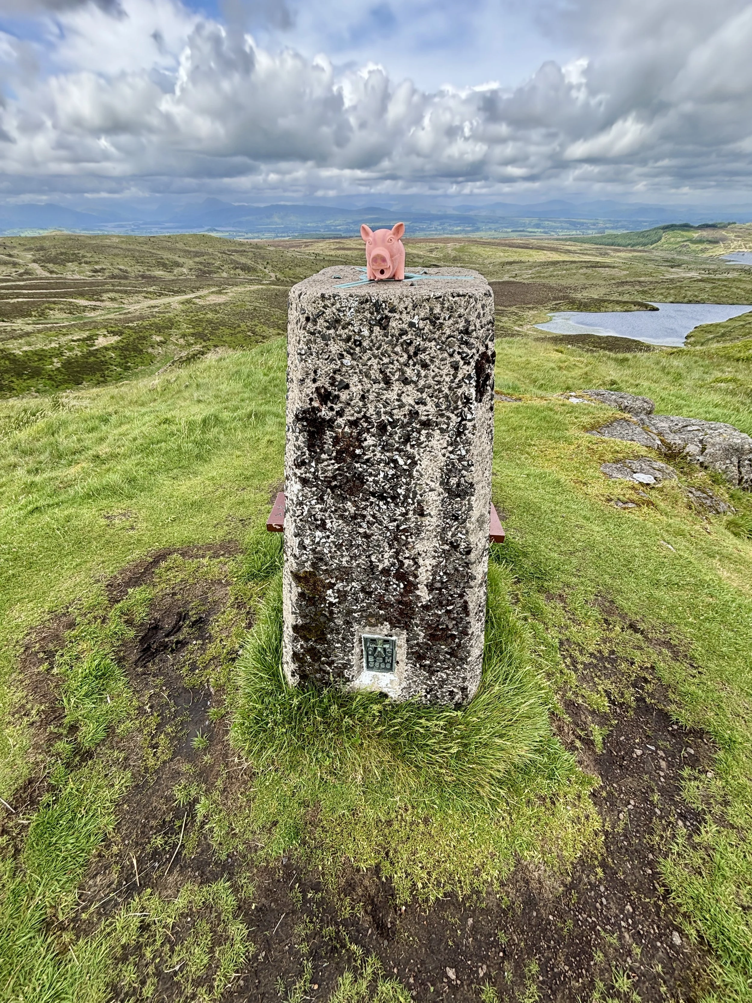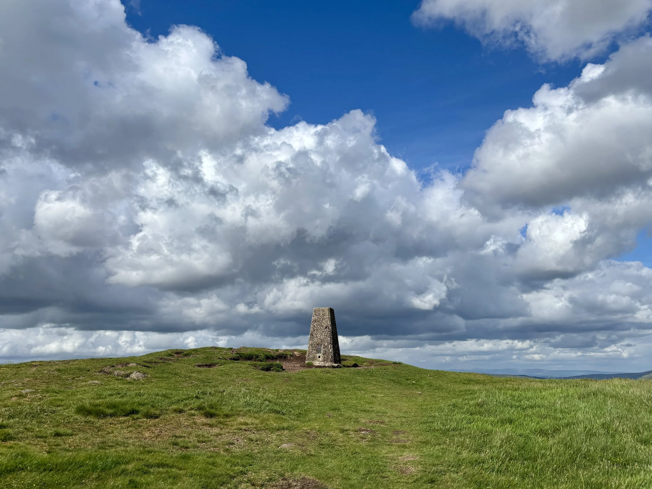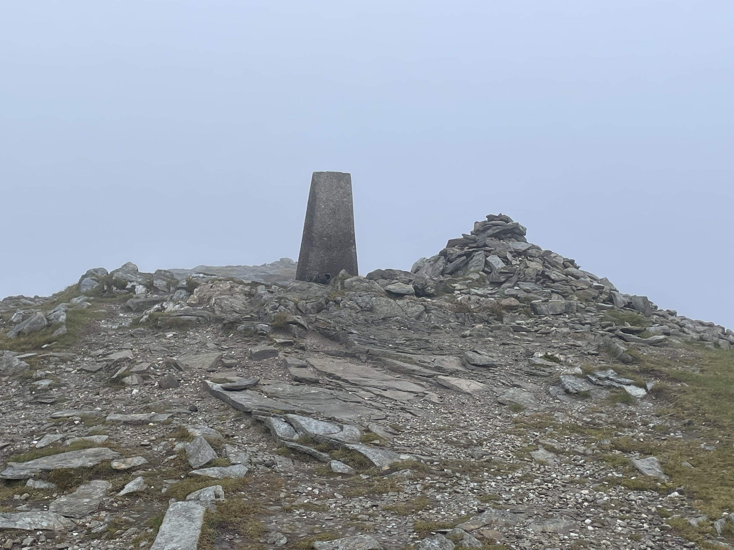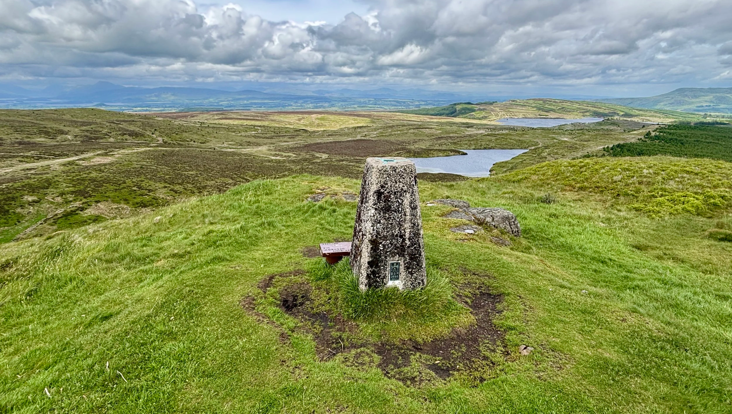
Trig Pillar at the summit of Duncolm
Also Known As: Dùn Choluim (Scottish Gaelic)
Significance: Present-day County Top for West Dunbartonshire, highest point of the Kilpatrick Hills
Historic County: Dunbartonshire, of which Ben Vorlich is the Historic County Top
Member of: N/A
Nearest Higher Neighbour: Dumgoyne (427m)
Elevation: 401 m
Date climbed: June 5th 2026
Coordinates: 55° 57' 58'' N, 4° 27' 5'' W
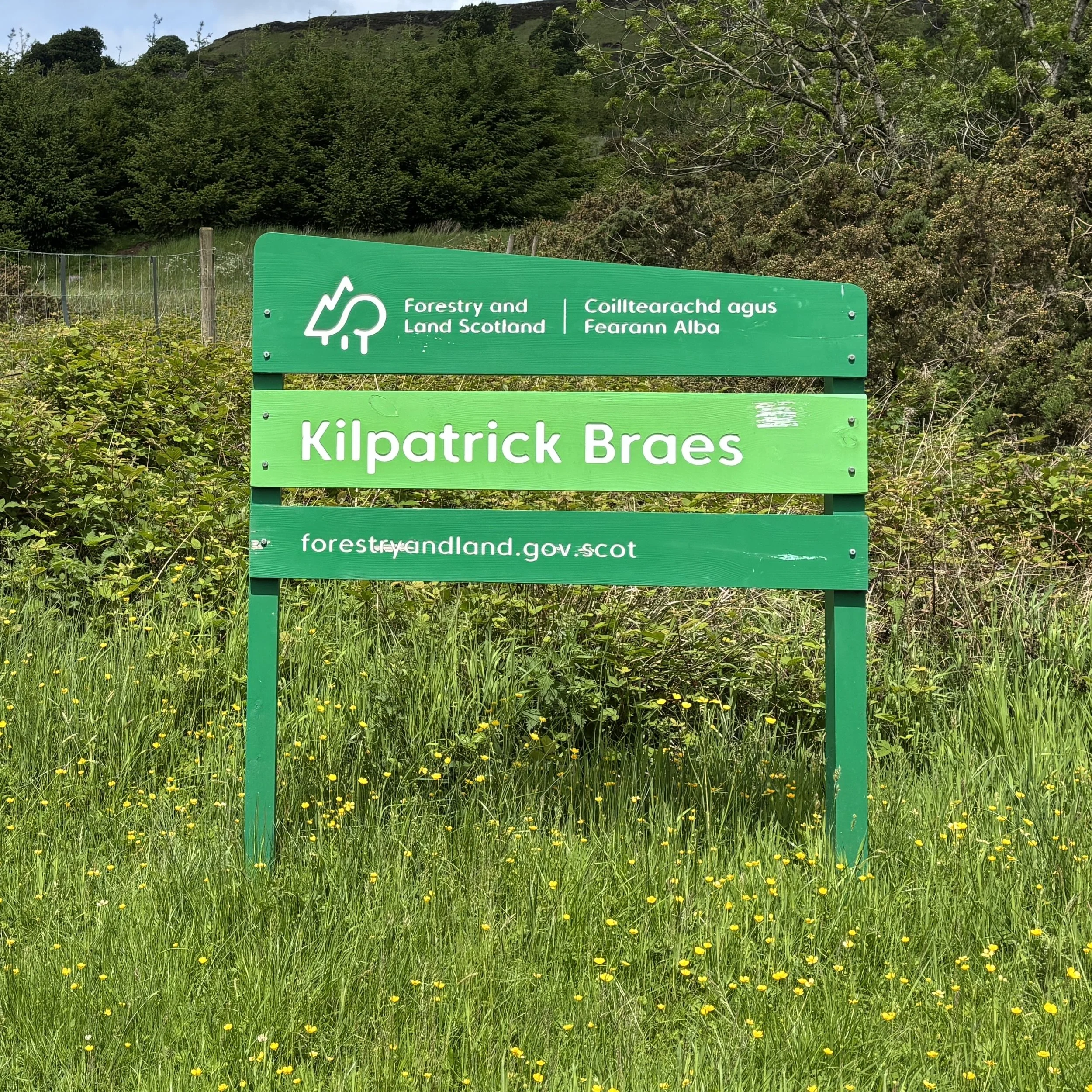
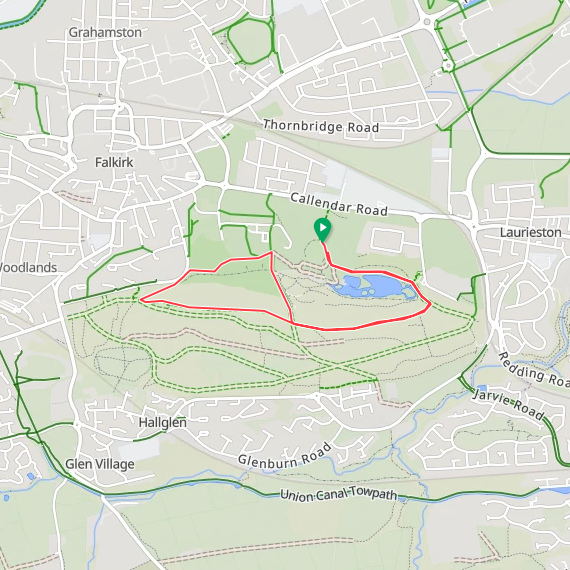
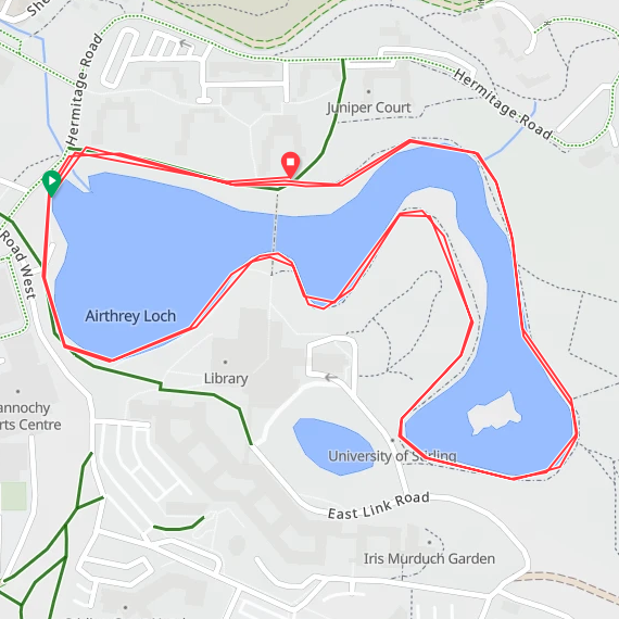
Route Start & Finish: Kilpatrick Braes Car Park, 25 Mount Pleasant Drive, Old Kilpatrick, Glasgow, G60 5LT
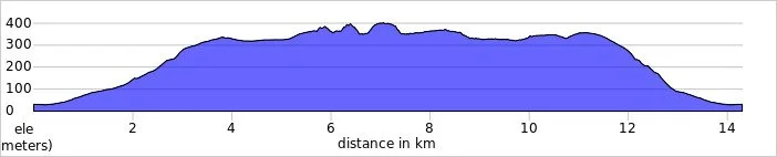
Route Distance: 14.2 km (8.8 miles)
Route Elevation change: +/- 479m
Subsidiary tops on route: Little Duncolm, Middle Duncolm, The Slacks
GPX File: get via Buy Me a Coffee
Other routes touched (walk): Clyde Coastal Path
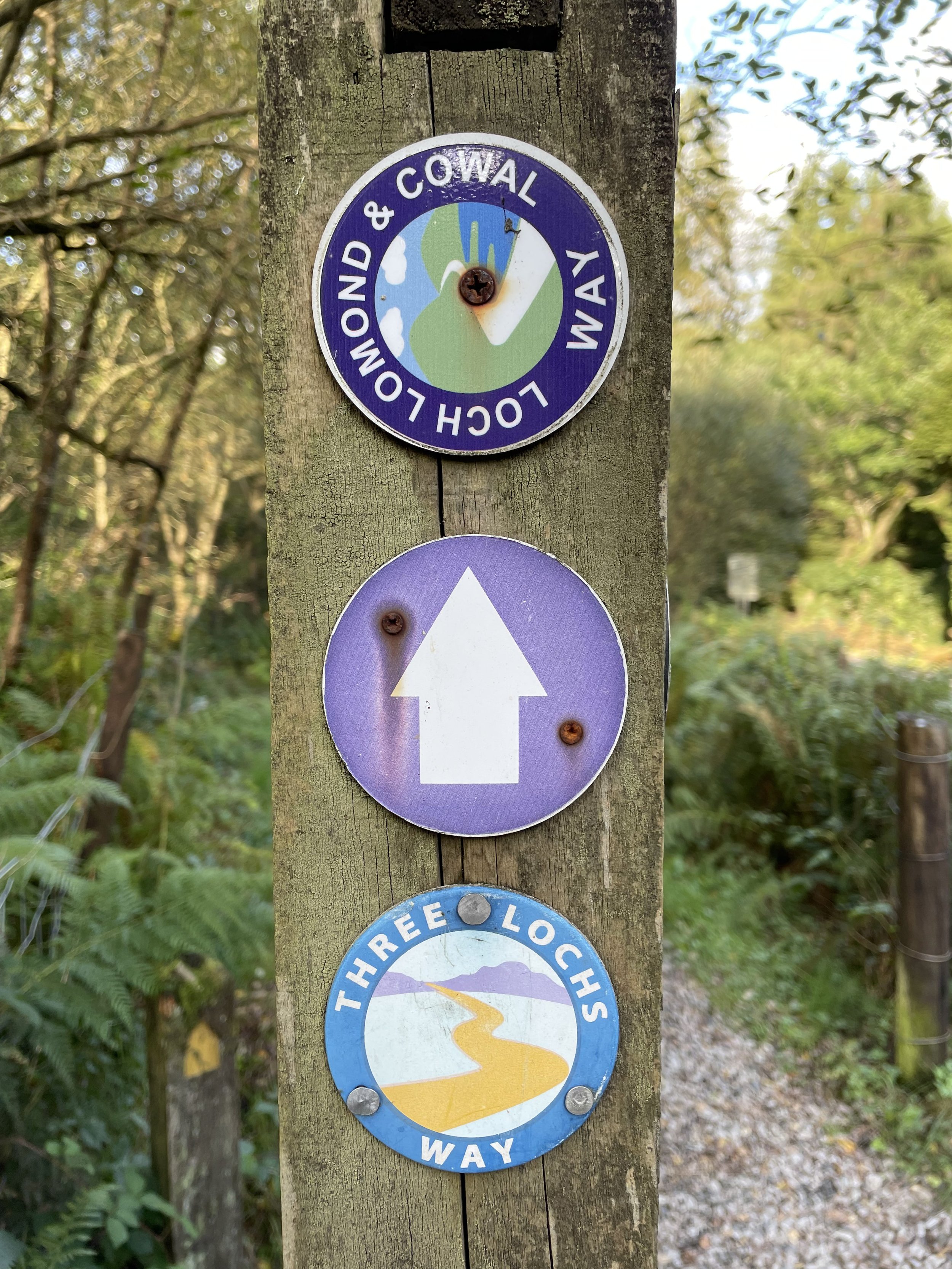
OS Trig Pillar: TP2908 - Duncolm Hill and TP6428 - The Slacks
Pubs / Cafes on route: None
Maps:
- Glasgow Map | Paisley, Rutherglen & Kirkintilloch | Ordnance Survey | OS Explorer Map 342
- Loch Lomond South Map | Dumbarton, Helensburgh, Drymen & Cove | Ordnance Survey | OS Explorer Map OL38
Links: Wikipedia (West Dunbartonshire / Kilpatrick Hills / Duncolm), Peakbagger, Hillbagging
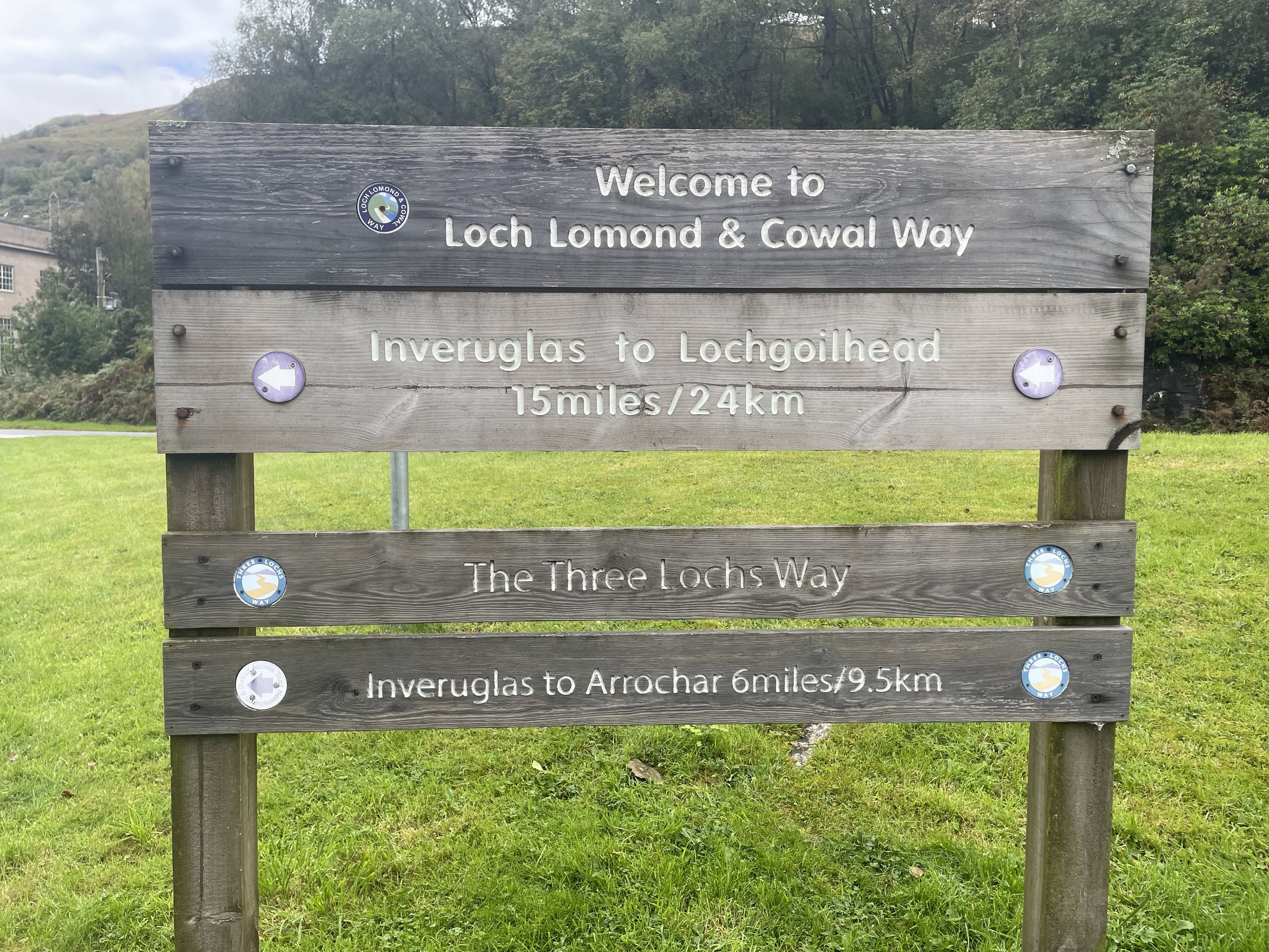
Duncolm is the Present-day County Top for West Dunbartonshire. I bagged it in 2026 on our annual County Top weekend trip, along with the present-day County Tops of East Dunbartonshire, Glasgow City and the Historic County Tops of Argyll and Ross and Cromarty.
After successfully tackling Earl's Seat to claim the high point of East Dunbartonshire, the next natural step was to complete the regional set by summiting Duncolm. This serves as the present-day county top of West Dunbartonshire and sits nicely in the nearby Kilpatrick Hills.
Walking Directions
The guidance below will help you navigate but don’t use it as a fully accurate turn-by-turn guide. Always take a map and/or a GPX route and prepare well for the weather and terrain.
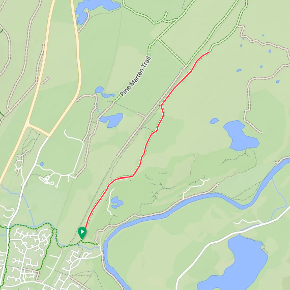
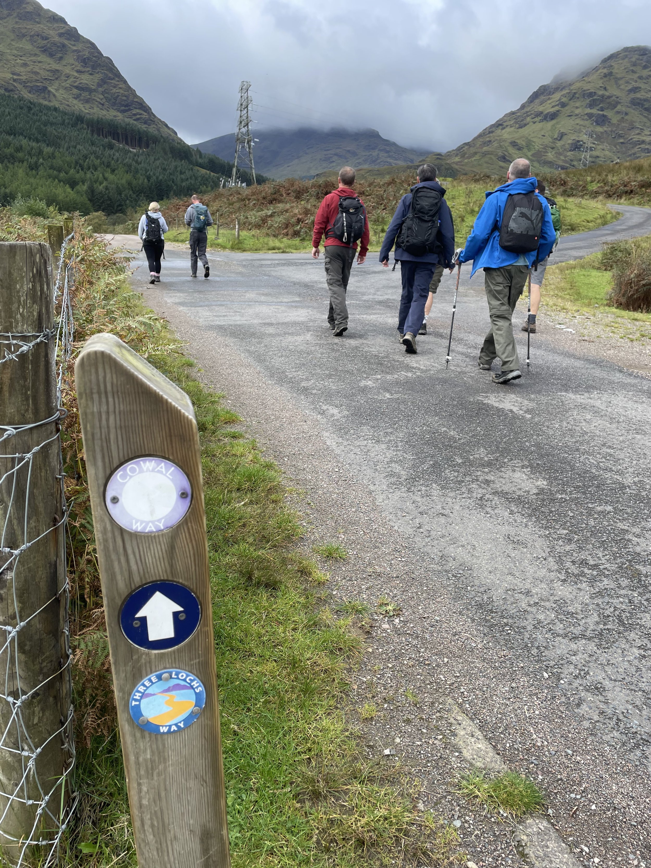
Getting there involved a 30-minute drive back towards Glasgow. I parked in the Kilpatrick Braes car park, located just off the Great Western Road (the A82).
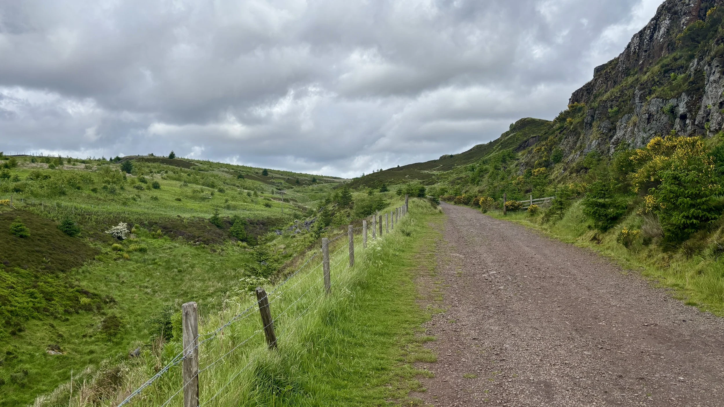
From the car park, the route begins by walking down onto Mount Pleasant Drive. You then take the underpass to safely cross under the A82 and follow a small road leading towards a local farm. At the farm entrance, take a right to join a path that steadily winds its way uphill in a north-westerly direction.
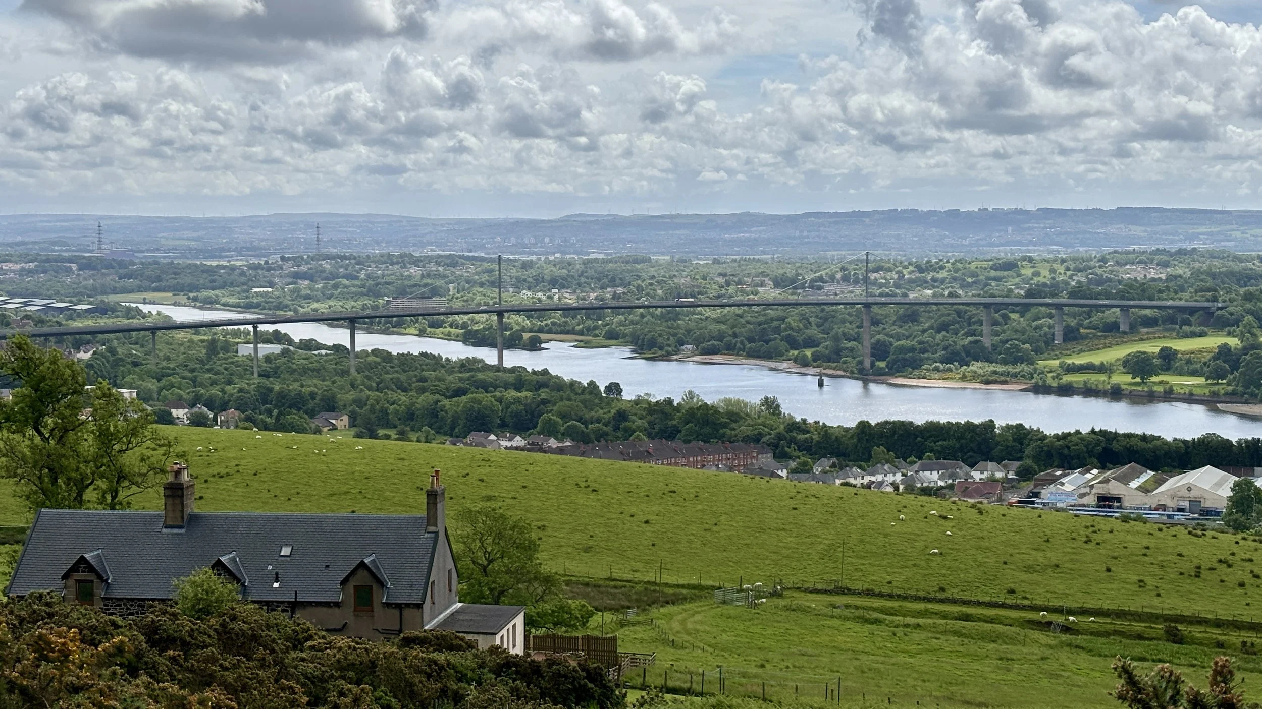
As you ascend, the scenery really starts to deliver. On your right-hand side, you are flanked by impressive cliff edges. Meanwhile, over on your left, the elevation offers a fantastic, sweeping view over the River Clyde and back towards the Erskine Bridge.
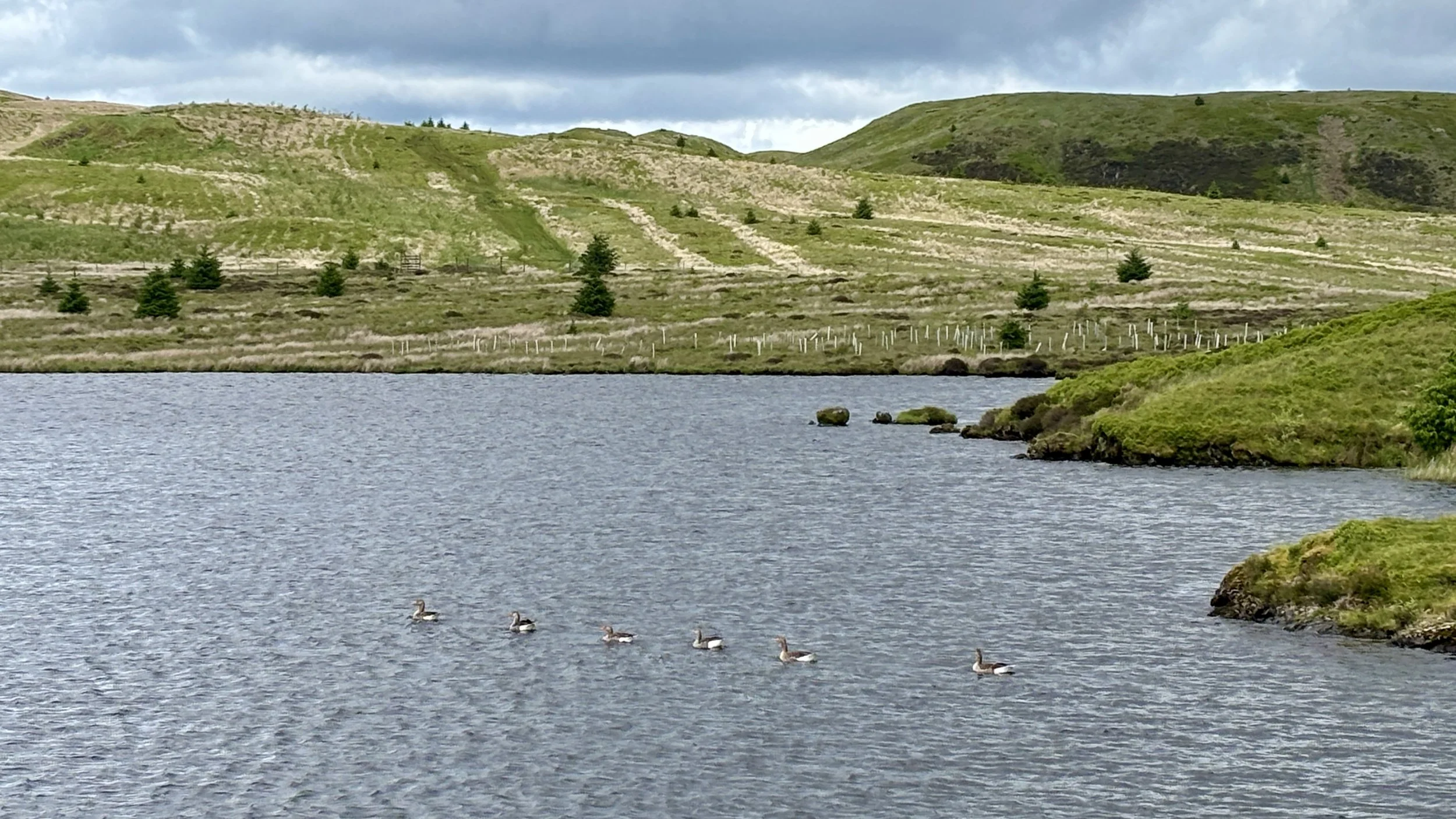
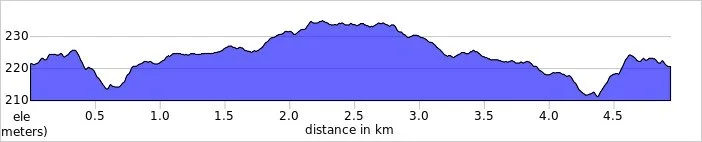
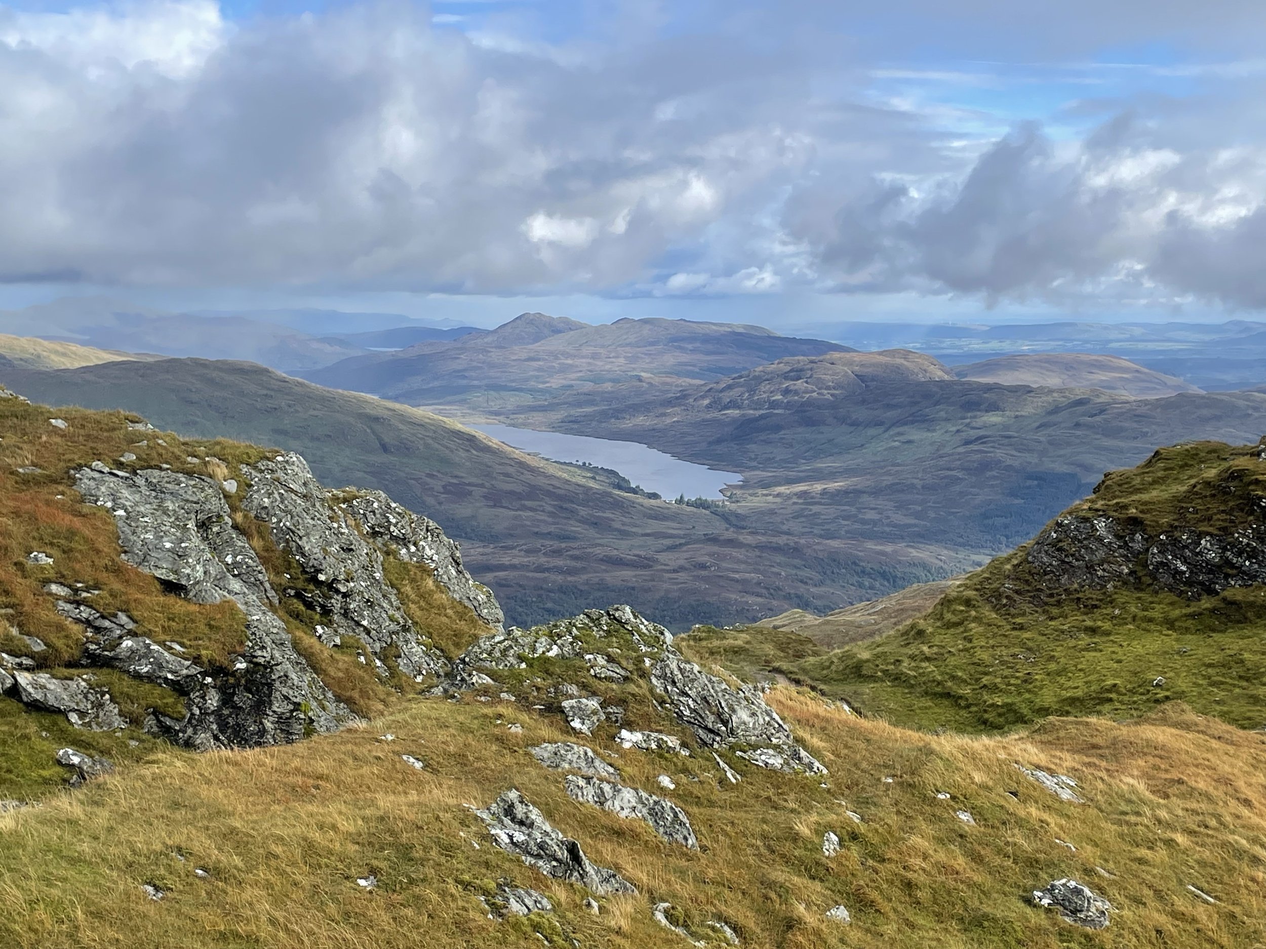
The path eventually curves around the side of the hills, shifting you into a north-easterly direction. After walking roughly 4.2 kilometres, you reach the pleasant shores of Loch Humphrey. It is a fantastic spot to take in the views: there is plenty of local wildlife, including a fair few ducks, and you can clearly spot Duncolm rising in the distance.
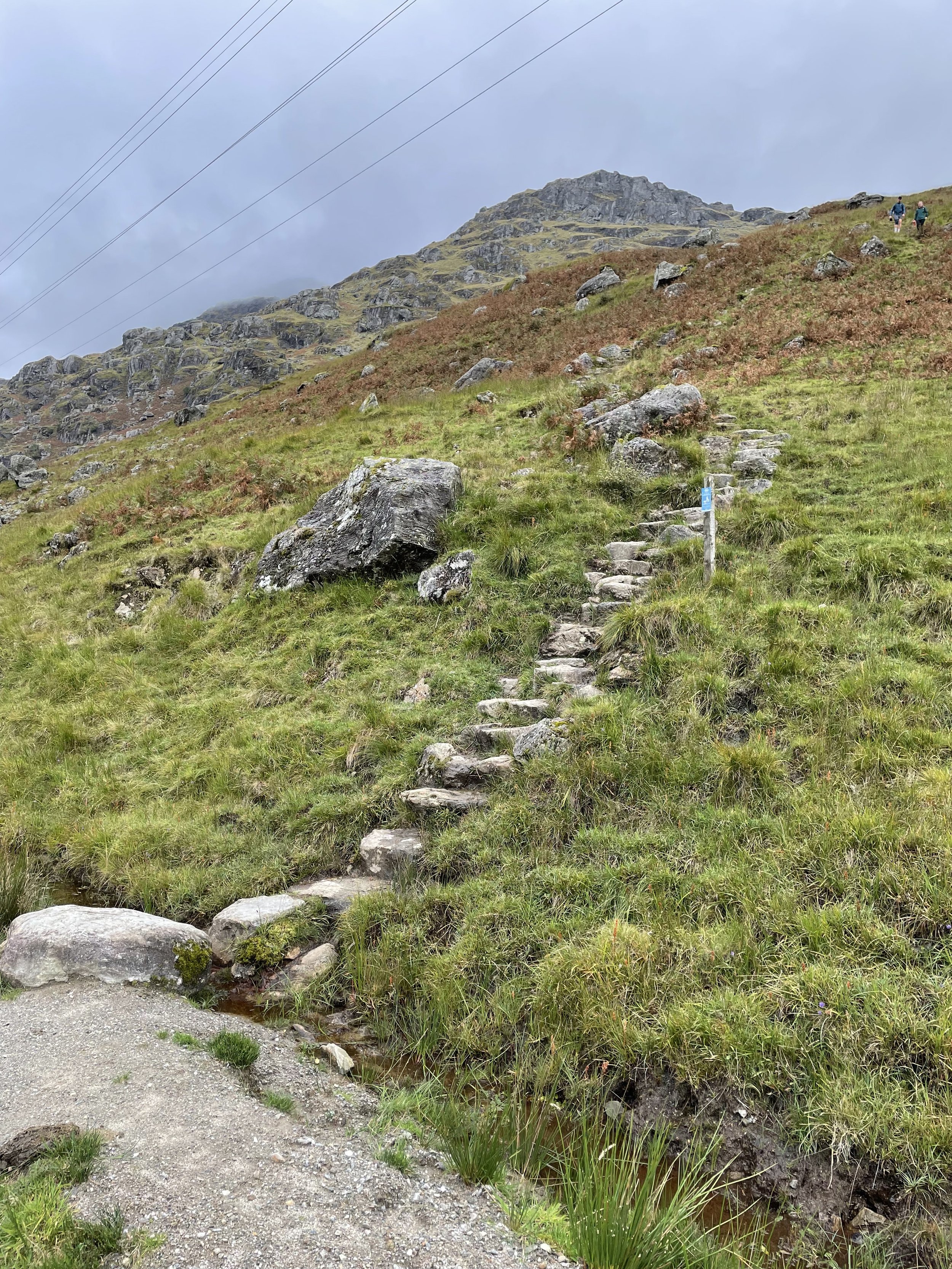
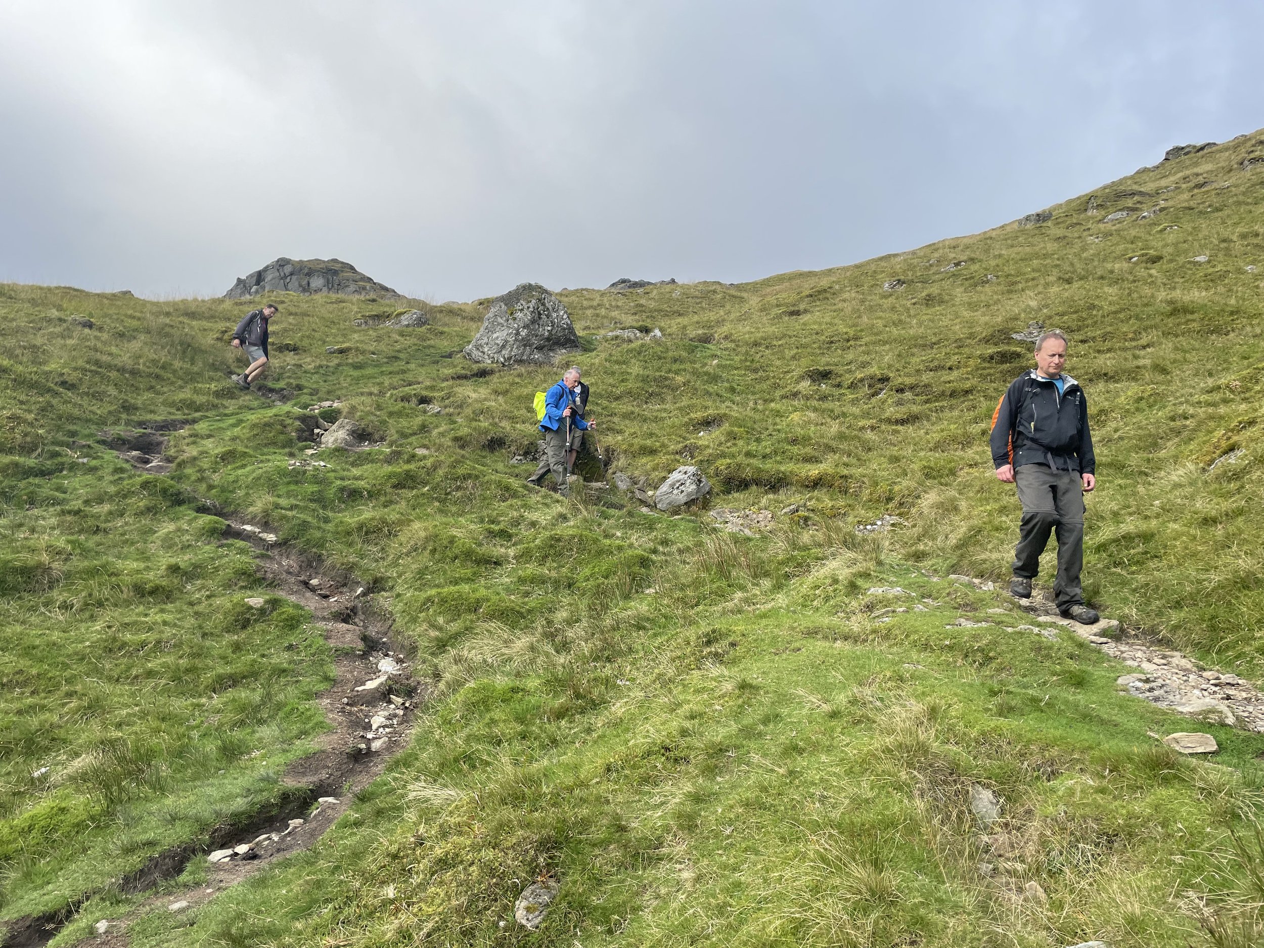
From the loch, the path continues along its south-eastern edge before curving steadily towards the north. Around the 5.7-kilometre mark, it is time to leave the established track and tackle a fairly steep grassy bank.
This ascent brings you to Little Duncolm, the first of three distinctly named peaks in the cluster. While there isn't a marker at the summit, the views are excellent. From there, it requires a careful descent down the northern side, crossing over a small stream before immediately beginning the climb up to Middle Duncolm.
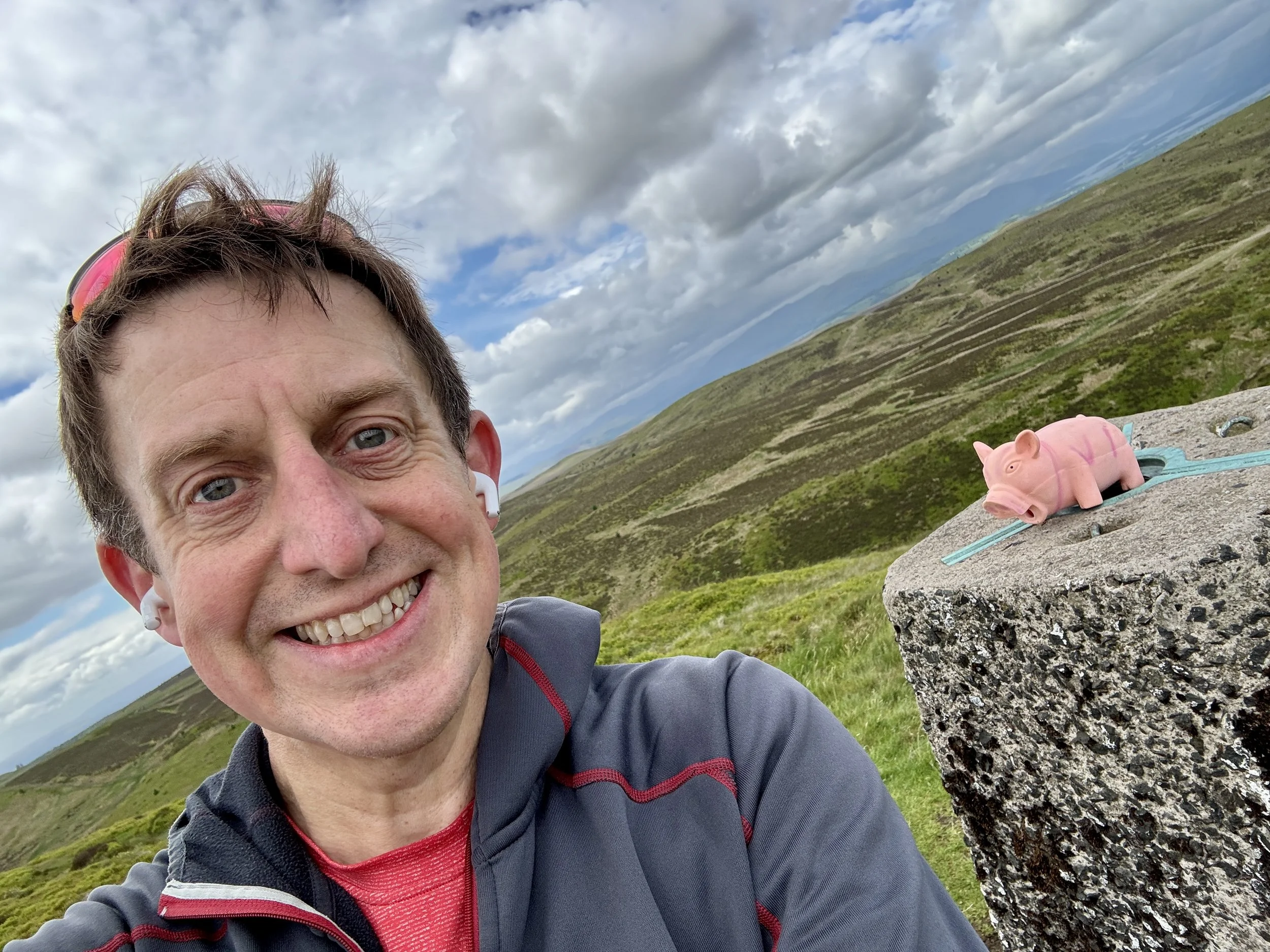
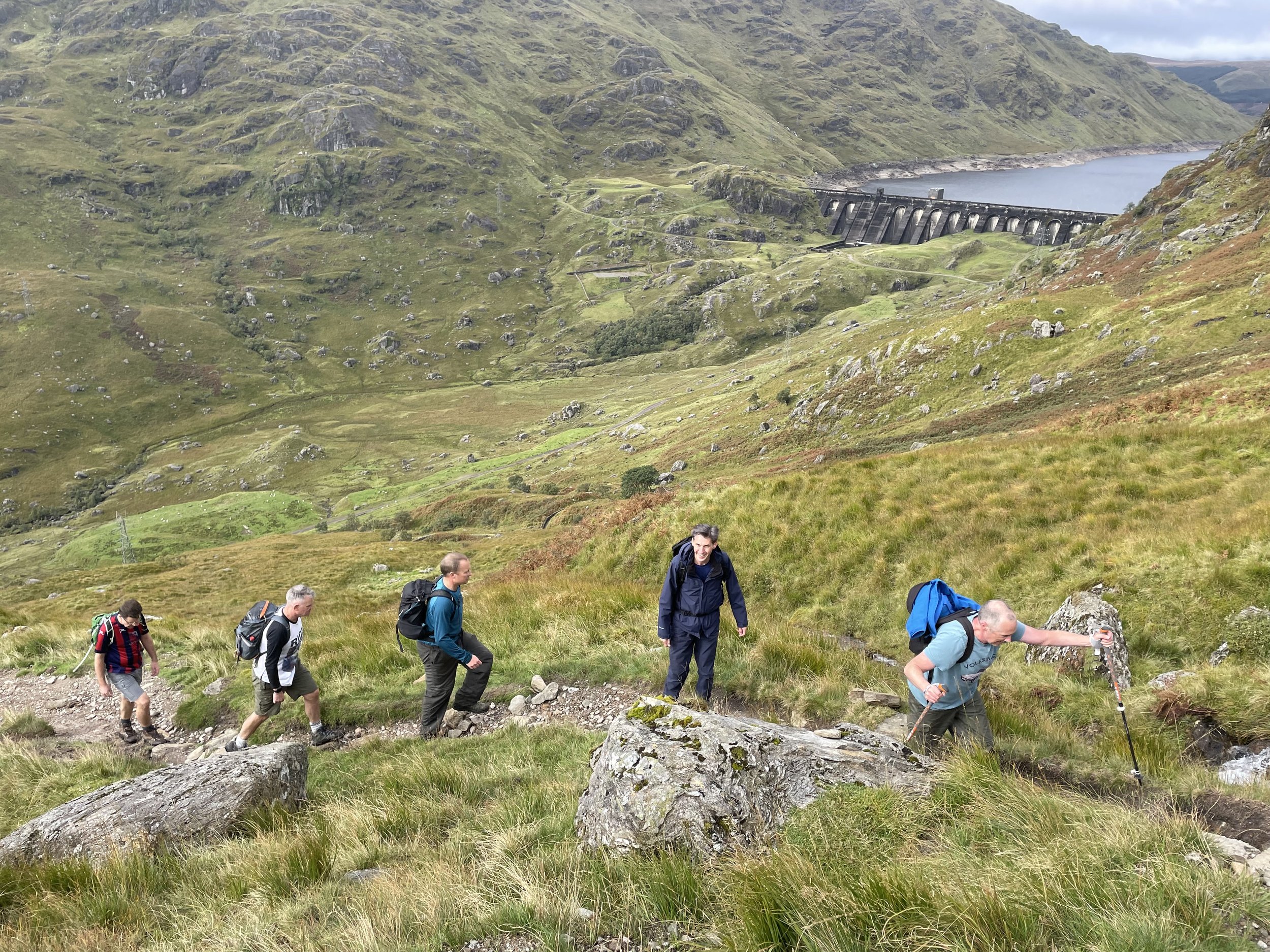
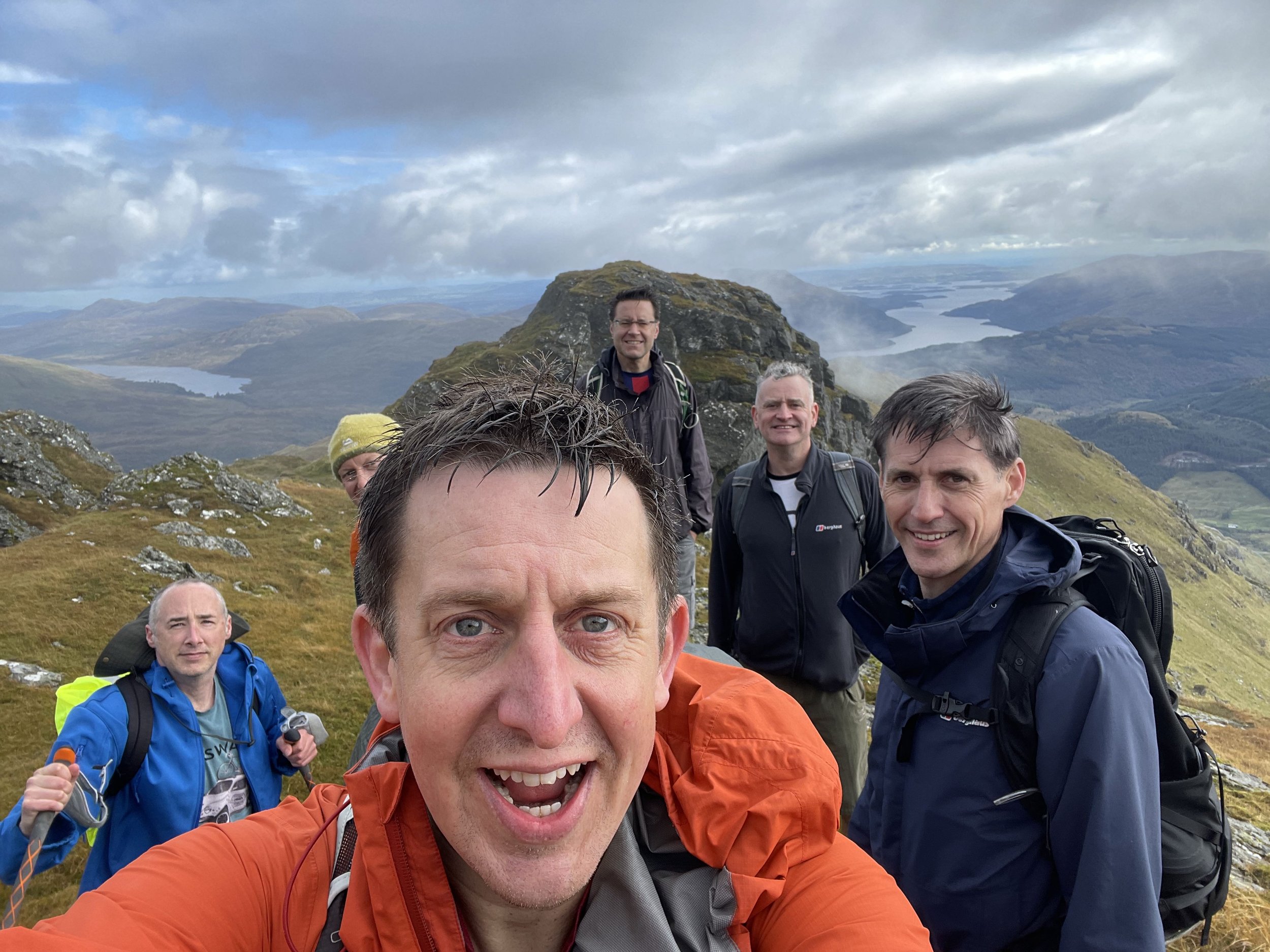
After navigating Middle Duncolm, you descend its north-eastern side before continuing in a north-easterly direction to tackle the steep bank up to the main summit of Duncolm. You will know you have made it when you reach the Trig Pillar, which offers stunning 360-degree views of the surrounding area.
After enjoying the views from the Trig Pillar, it is time to retrace your steps back down. Thankfully, there is no need to re-ascend Middle and Little Duncolm: you can simply stay on the bypass path that skirts their north-westerly side, eventually rejoining the main track just south of Little Duncolm.
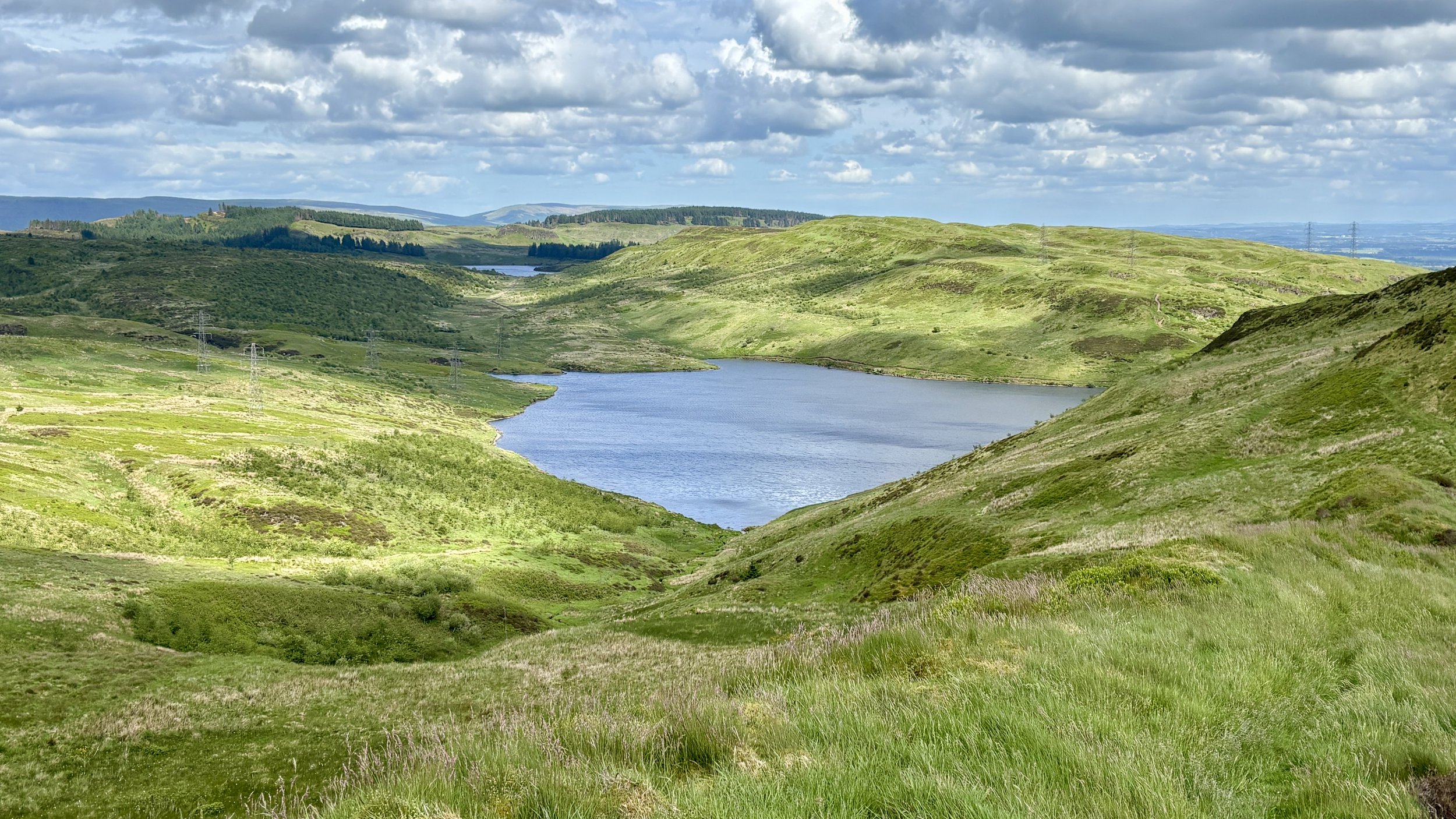
Continue back along the main path. At around the 10-kilometre mark of the trip, take a path on the left. This cuts across the hill towards a fence line enclosing a small wooded area. Follow the fence line as it heads east, then turn south for a slight descent before heading up to The Slacks, where you can successfully bag another trig pillar.
From The Slacks, pick up the path heading in a southerly direction. This provides a steady descent back down to the original route. Take a left to rejoin it, and from there, it is just a case of retracing your steps for the final 1.3 kilometres all the way back to the Kilpatrick Braes car park. It makes for a rewarding route and a very satisfying way to finish off the Dunbartonshire high points.
Points of Interest along or near to the Route
Kilpatrick Hills: These hills are of volcanic origin, formed during the Carboniferous period as part of the Clyde Plateau Volcanic Formation. Their mix of basaltic crags and broad plateau surfaces creates a distinctive upland landscape that contrasts sharply with the surrounding urban areas of West Dunbartonshire.
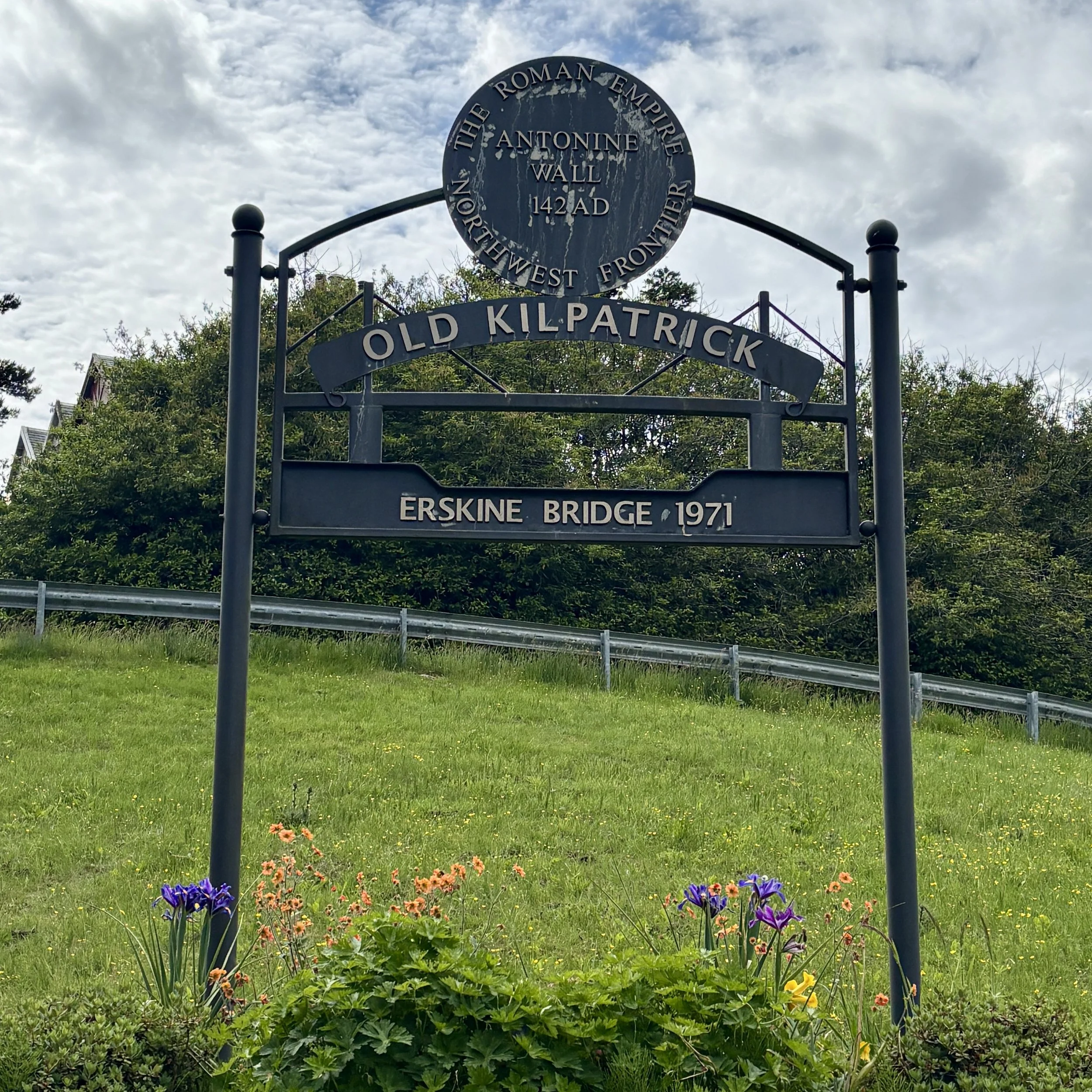
Erskine Bridge: Looking back over the River Clyde, the Erskine Bridge stands out as a major cable‑stayed box‑girder bridge, opened in 1971. It forms a key crossing linking the A898 to the A82 and sits just north of the M8 corridor. Its elegant profile provides a striking engineering landmark against the natural backdrop of the river.