Slieve Donard: Down County Top
Slieve Donnard summit
Also known as: Sliabh Donairt
Significance: Highest peak in County Down (Historic County Top), Highest Peak in Northern Ireland, Mourne Mountains National Landscape High Point
Member of: Marilyn, Hewitt
Parent Peak: Wicklow Mountains National Park High Point
Elevation: 853m
Date climbed: May 6th 2016
Coordinates: 54.1804° N, 5.9223° W
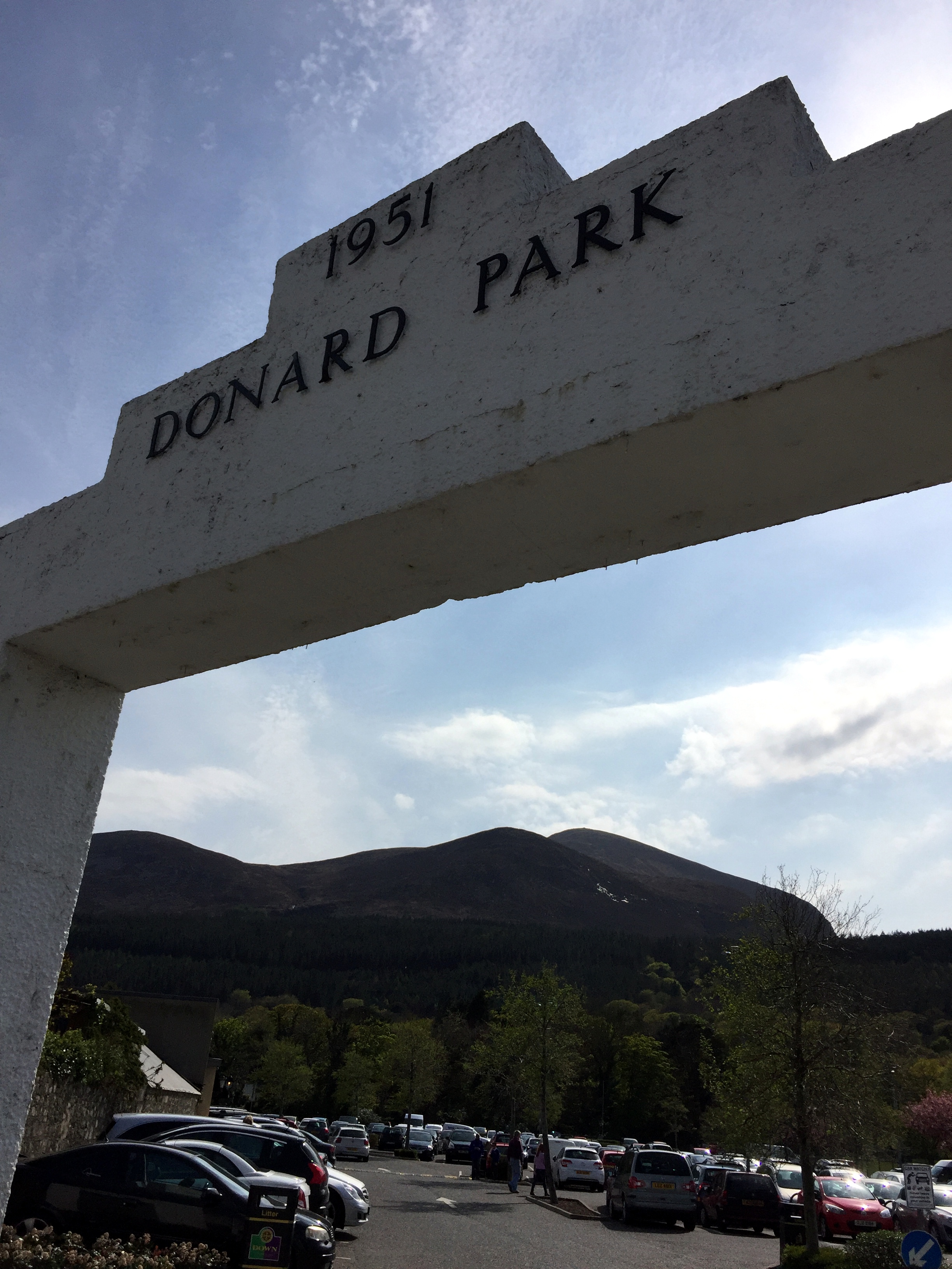
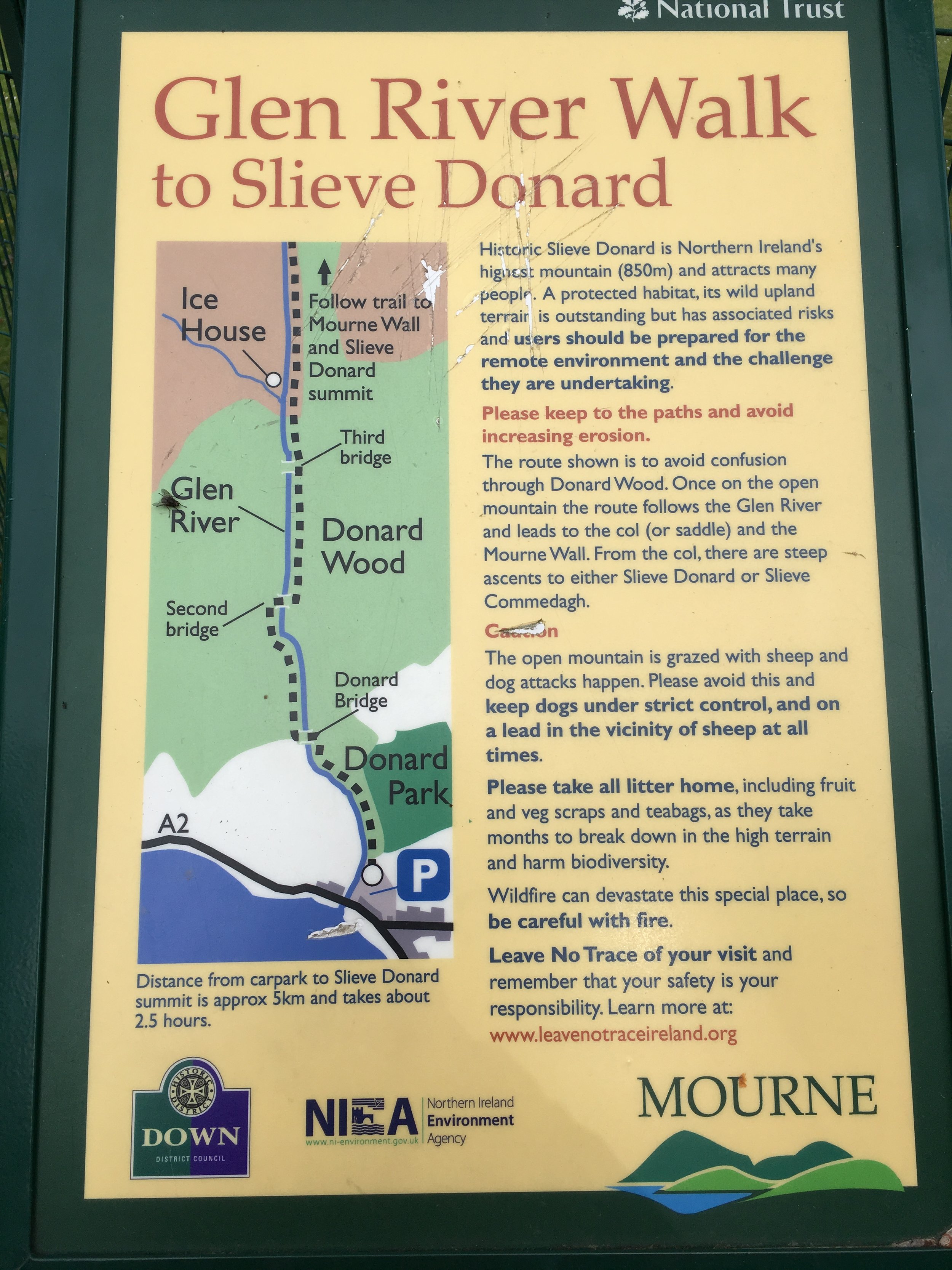
Route Start / End: Donard Park car park, Newcastle
Route Distance: 9.8 km (6 miles)
Route Elevation Change: +/- 908m
Subsidiary tops on route: None
GPX File: get via Buy Me a Coffee
Other routes touched (walk): Mourne Wall Challenge
Other routes touched (cycle): None
OS Trig Pillar: TP7678 - Slieve Donard (New)
Map: OS Northern Ireland Activity Maps: The Mournes (for Slieve Donard)
Guidebook: The UK's County Tops (Jonny Muir)
Links: Wikipedia (County Down), Wikipedia (Slieve Donard), Peakbagger, Hillbagging
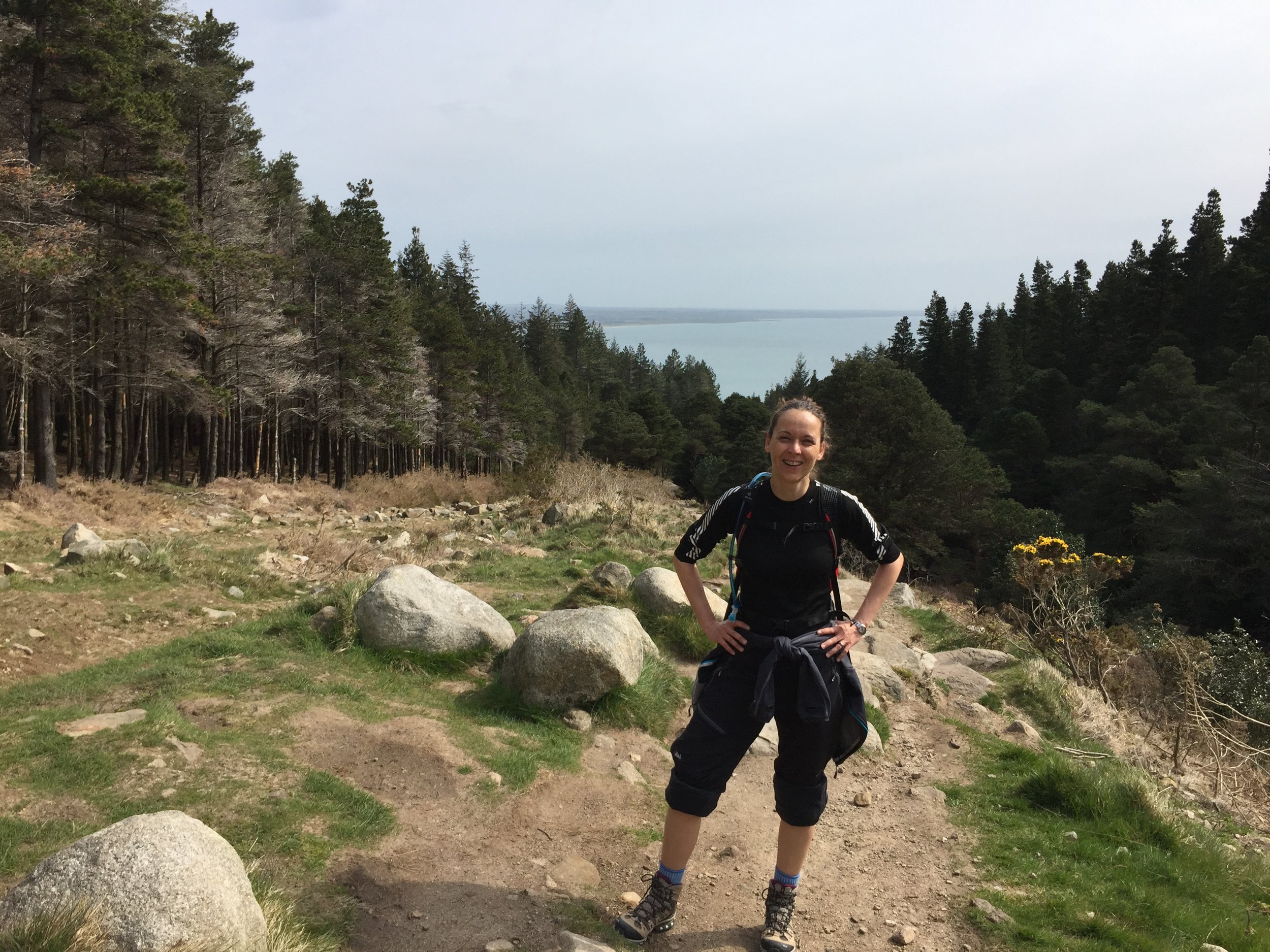
This trek was part of a tour of the Historic County Tops of Northern Ireland that Timea and I did in May 2016.
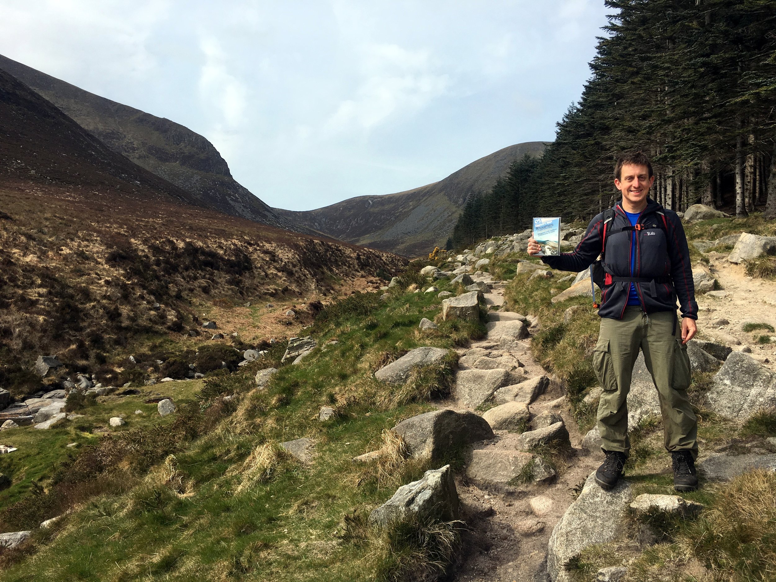
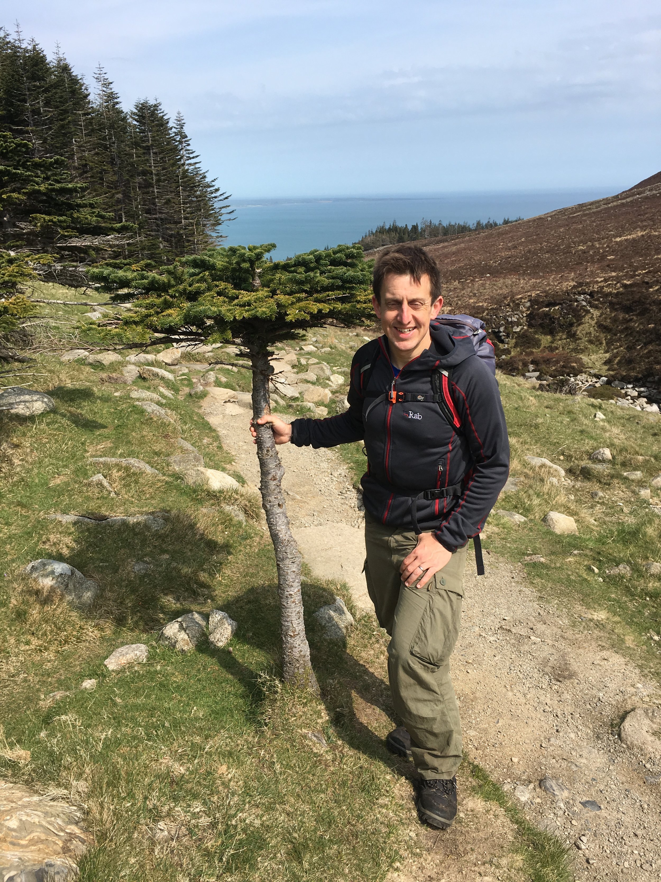
Our final day was the tallest mountain and the most enjoyable trek: Slieve Donard. The week up until this was had changeable weather with every season in every day. This day we were in luck as it was warm with great visibility. On a really clear day you can see England, Scotland, Wales and Ireland from the summit. We couldn't see that far, but we were pretty sure that we could see the Isle Of Man in the distance.
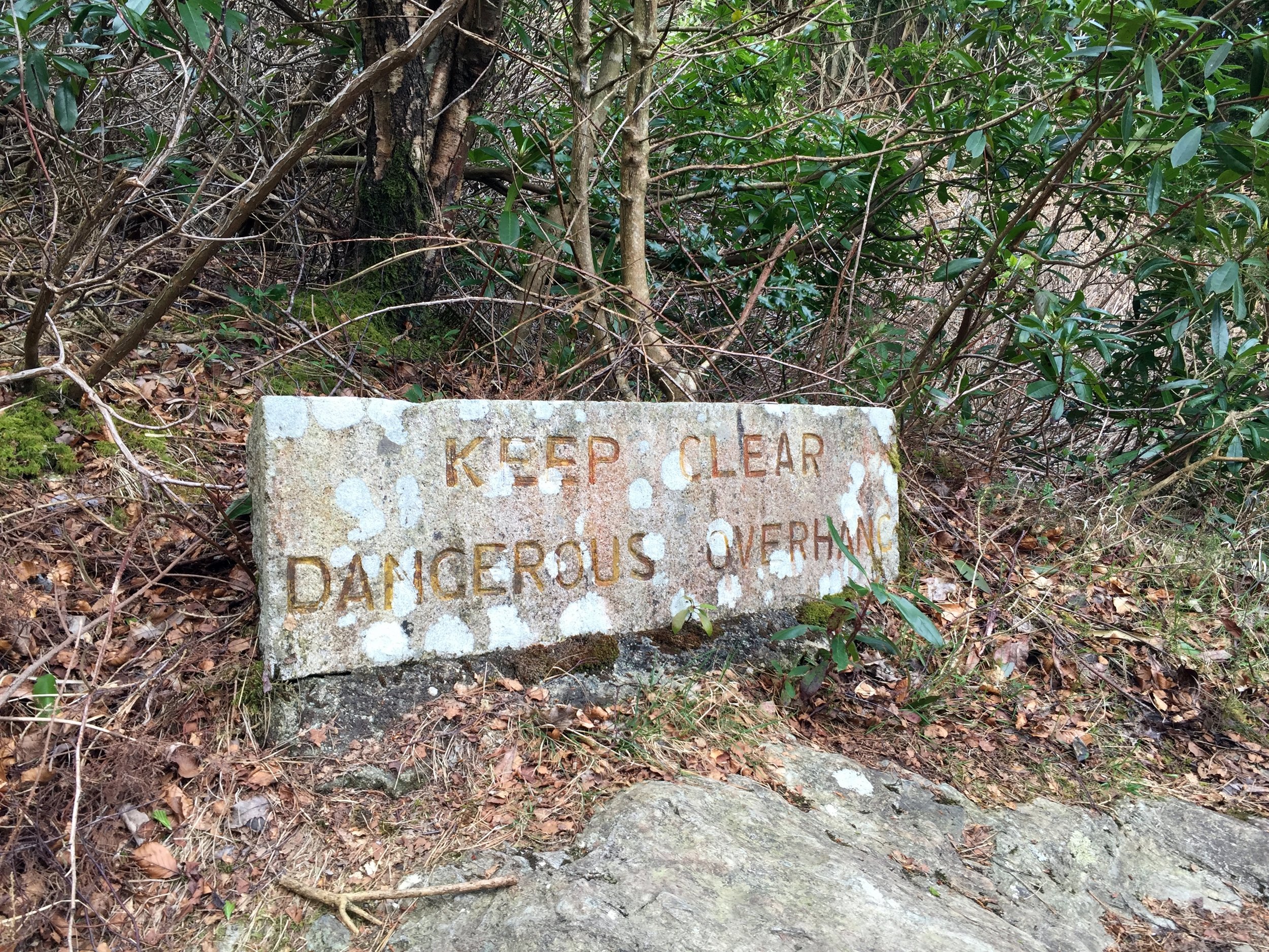
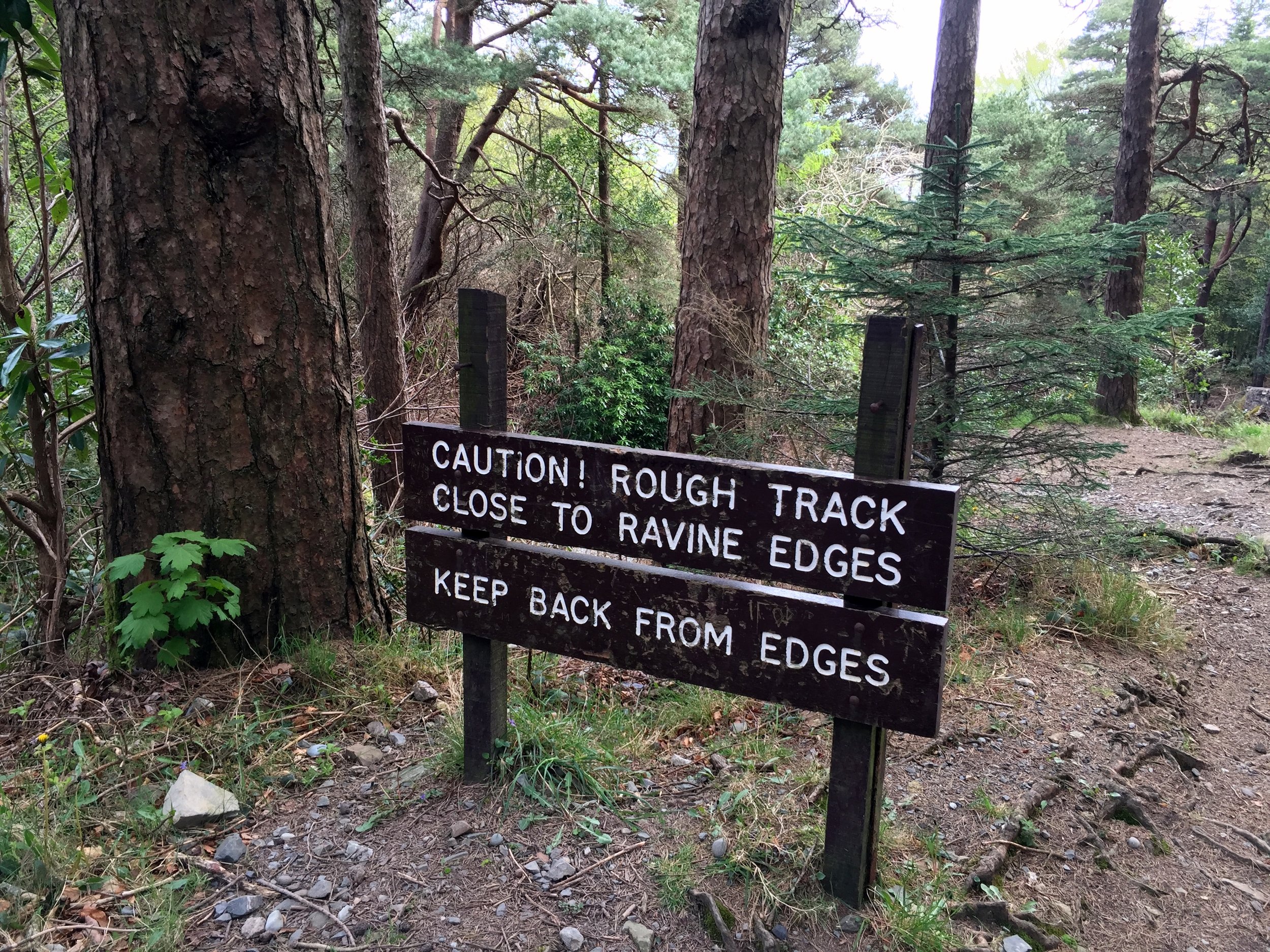
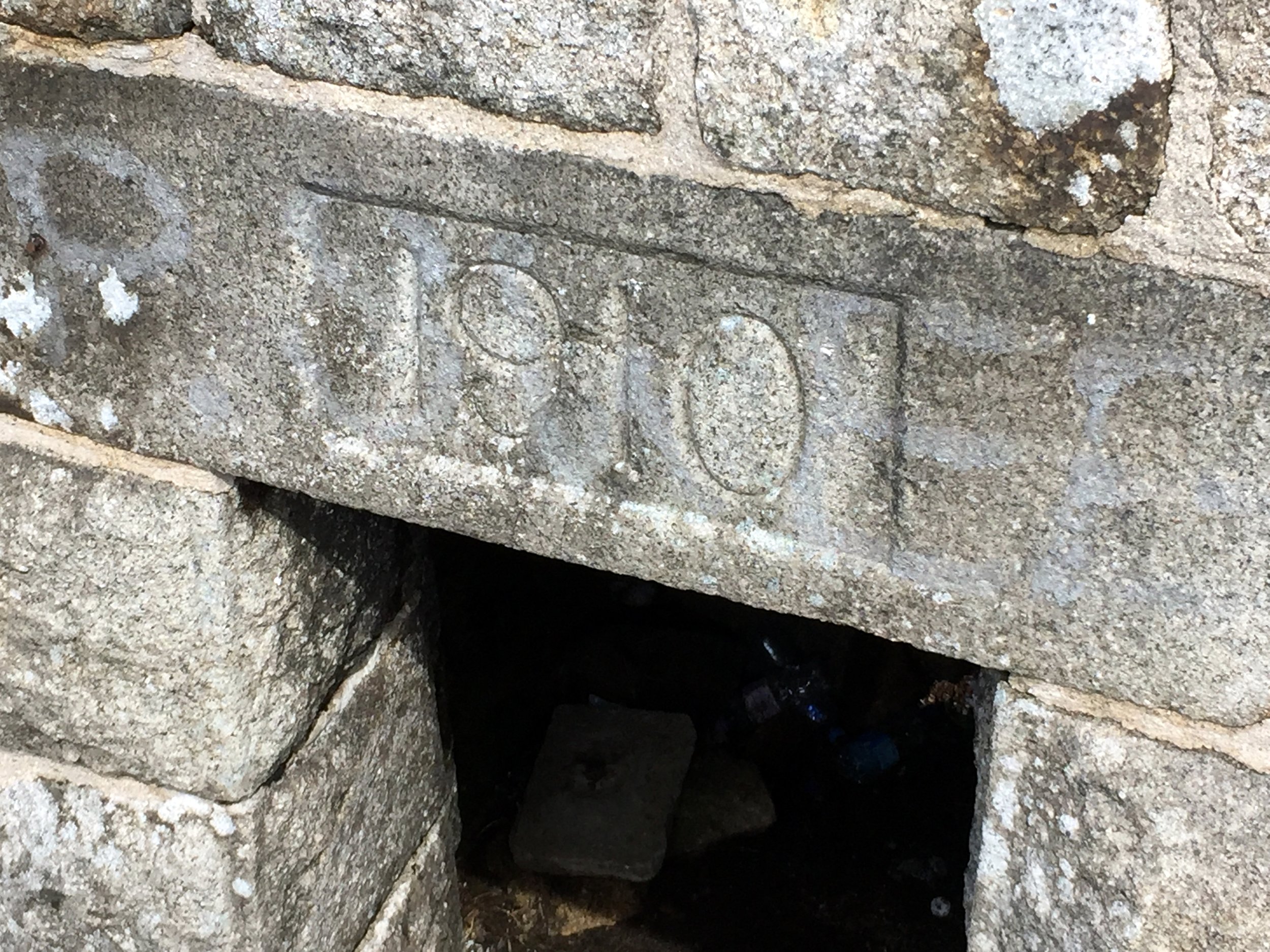
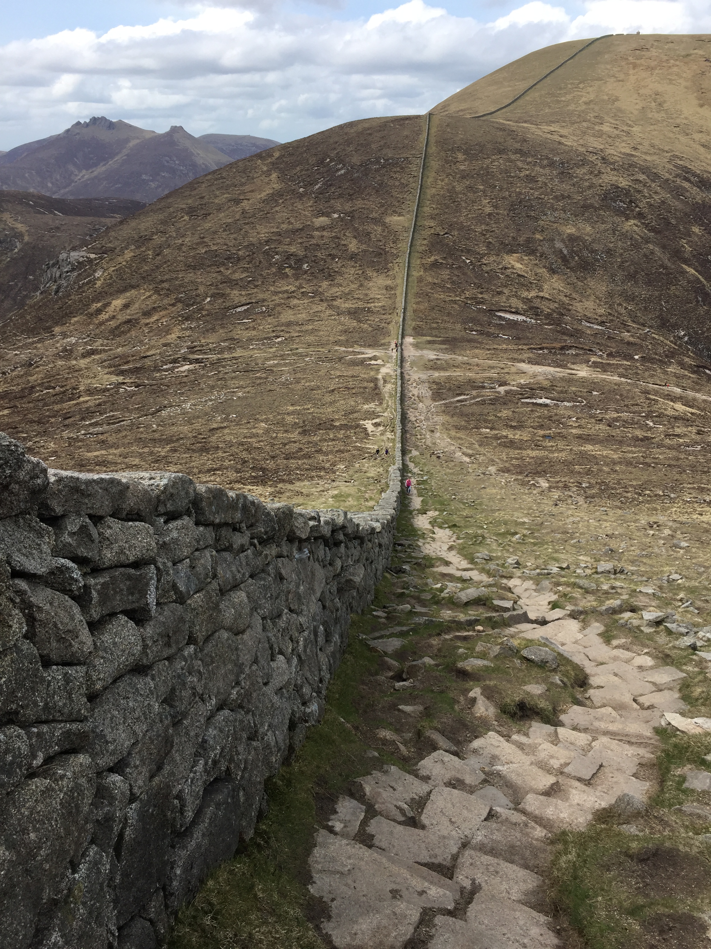
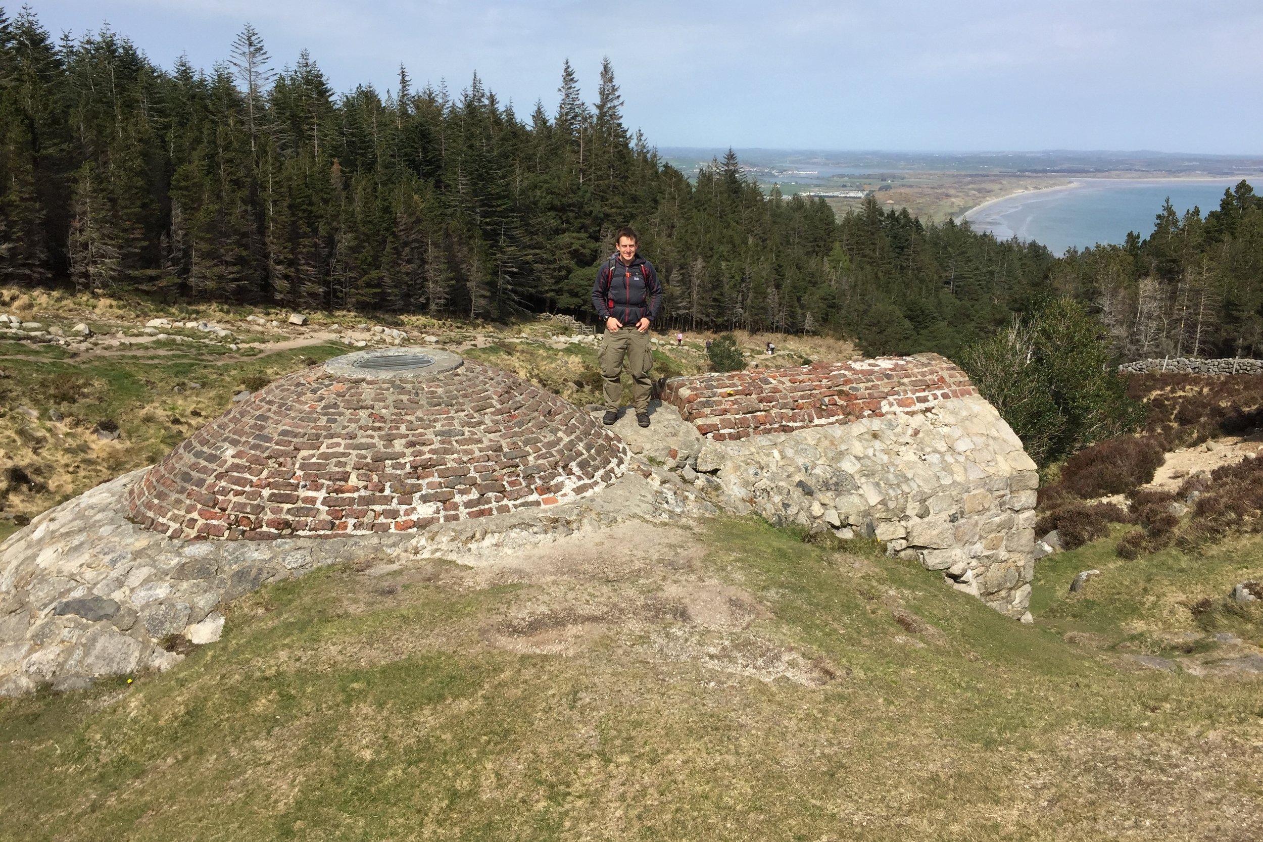
From the Donard Park car park in the centre of coastal Newcastle, the trail follows a stream up through a forest. The tree line ends about an hour in and passes the Annesley Ice House. From here the path continues to follow the stream until a bridge which marks the start of a steep climb up to the Saddle. This is the point where the Glen River Walk meets the Mourne Wall, a 35 km granite wall built in the early 1900s to mark the catchment area of the Silent Valley Reservoir which provides water for most of Belfast and County Down. From here, the summit is another steep climb, following the wall to the South-West.
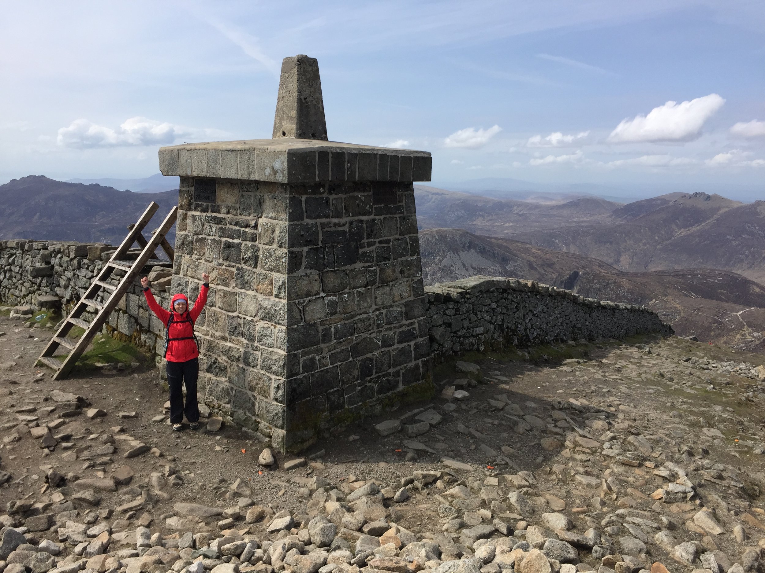
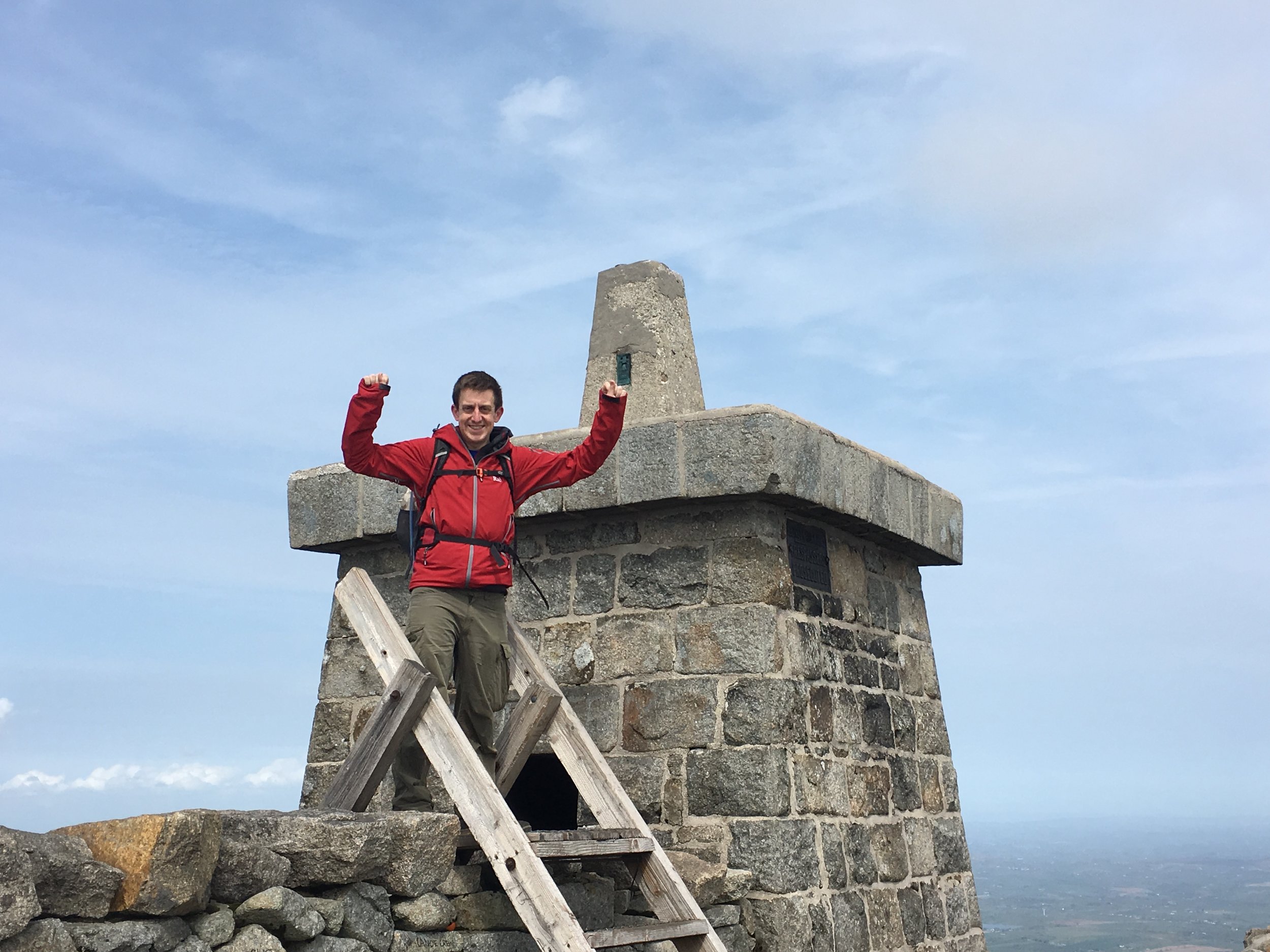
The summit of Donard is a large pile of stones next to a trig point on a stone tower. This is one of three similar towers originally built to provide shelter for the workers that built the wall. From the summit we could see one of the other towers on the way up to the neighboring Slieve Commedagh, the second highest of the Mourne Mountains at 767m