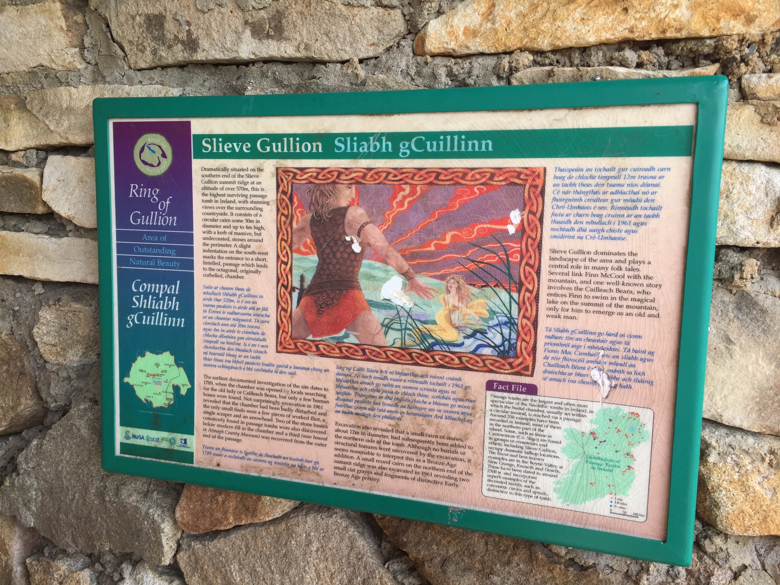
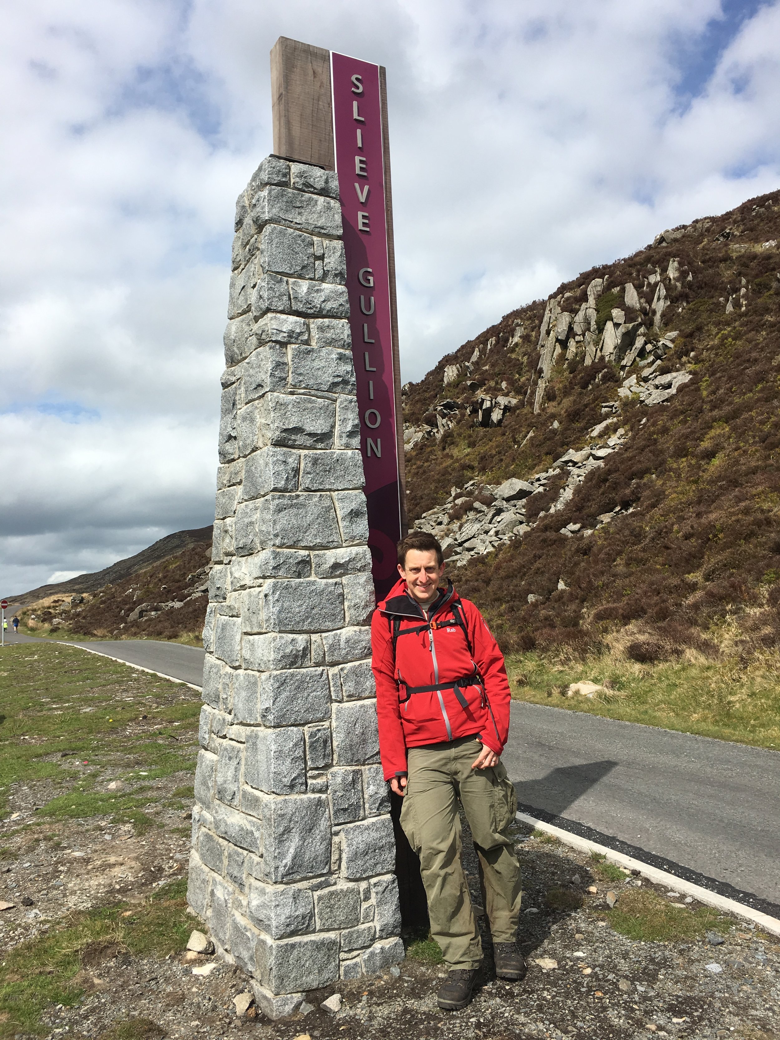
Slieve Gullion: Armagh County Top
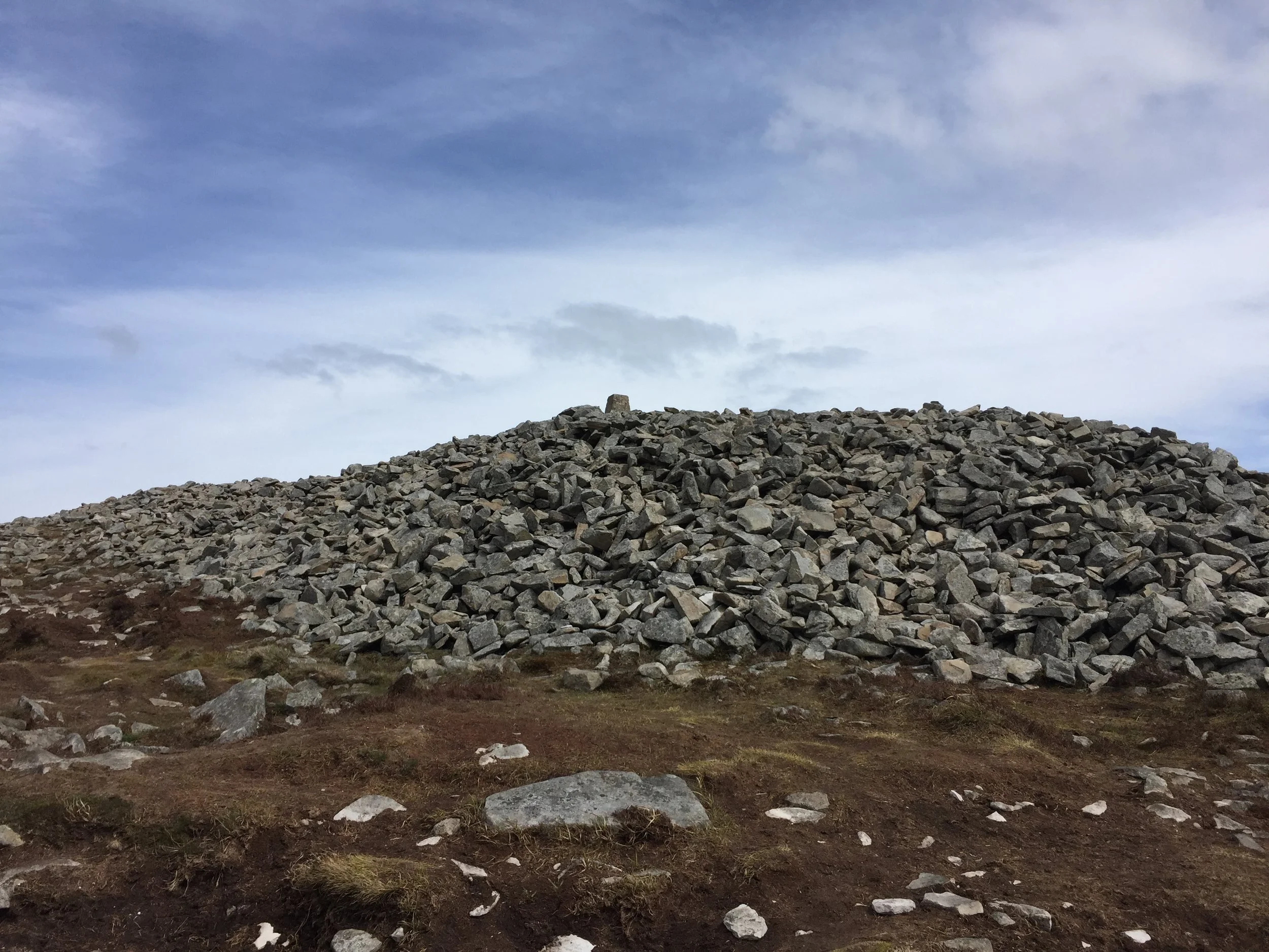
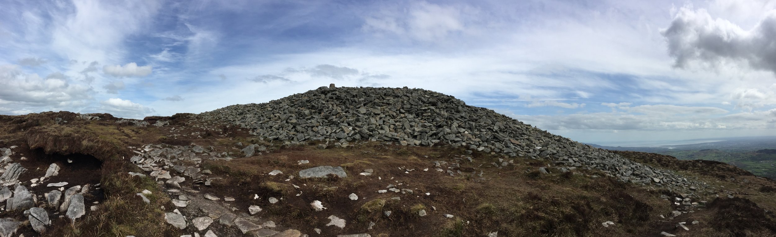
Slieve Gullion summit
Also known as: Sliabh gCuillinn
Significance: Highest peak in County Armagh (Historic County Top), Ring of Gullion National Landscape High Point
Member of: Marilyn
Parent Peak: TBC.
Nearest Higher Neighbour: Slieve Foye
Elevation: 576m
Date climbed: May 5th 2016
Coordinates: 54.1214° N, 6.4304° W
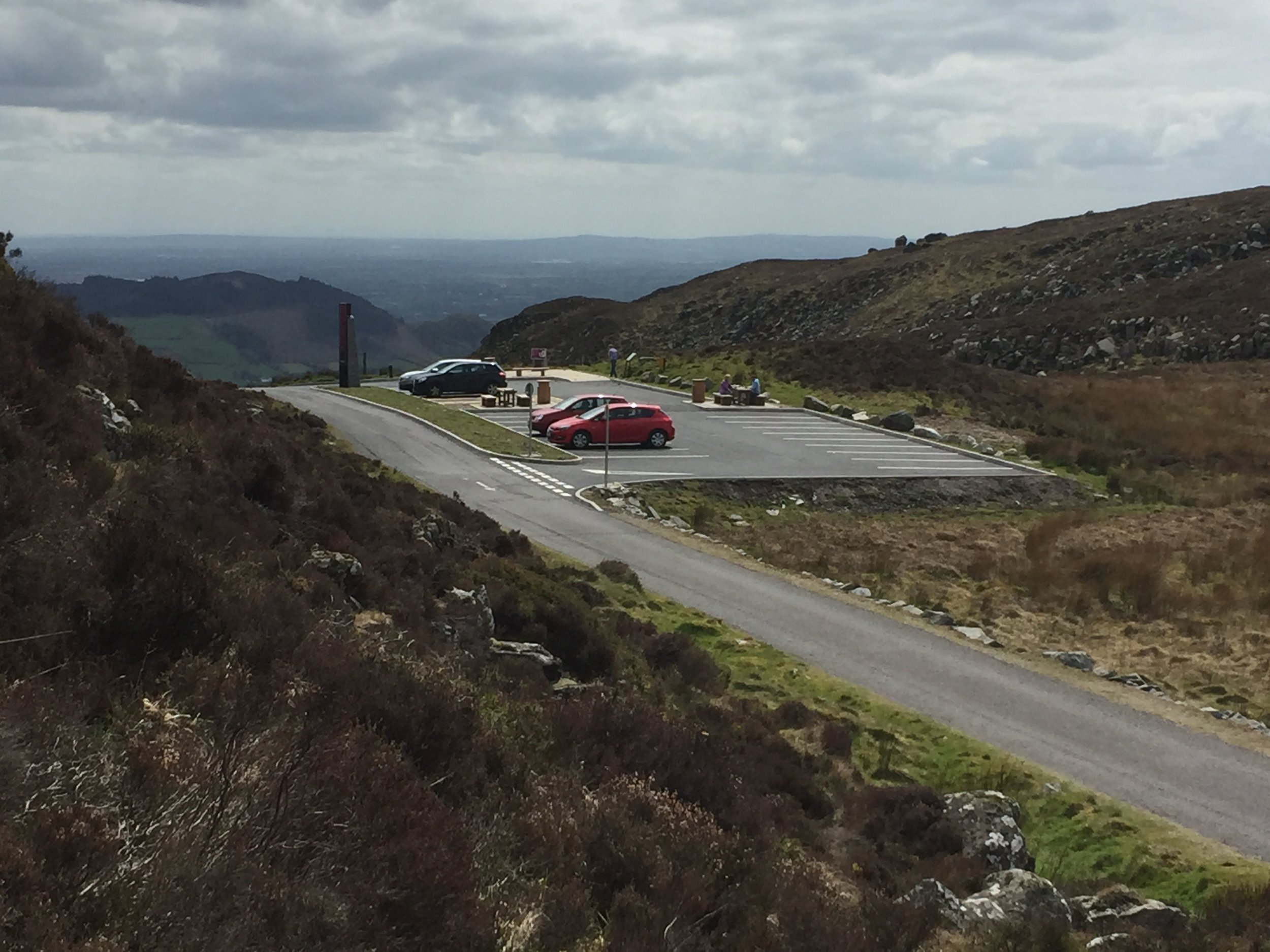
Route Start / End: Slieve Gullion viewing platform car park, Ring of Gullion AONB
Route Distance: 2.8 km (1.7 miles)
Route Elevation Change: +/- 196m
Subsidiary tops on route: None
GPX File: get via Buy Me a Coffee
Other routes touched: None
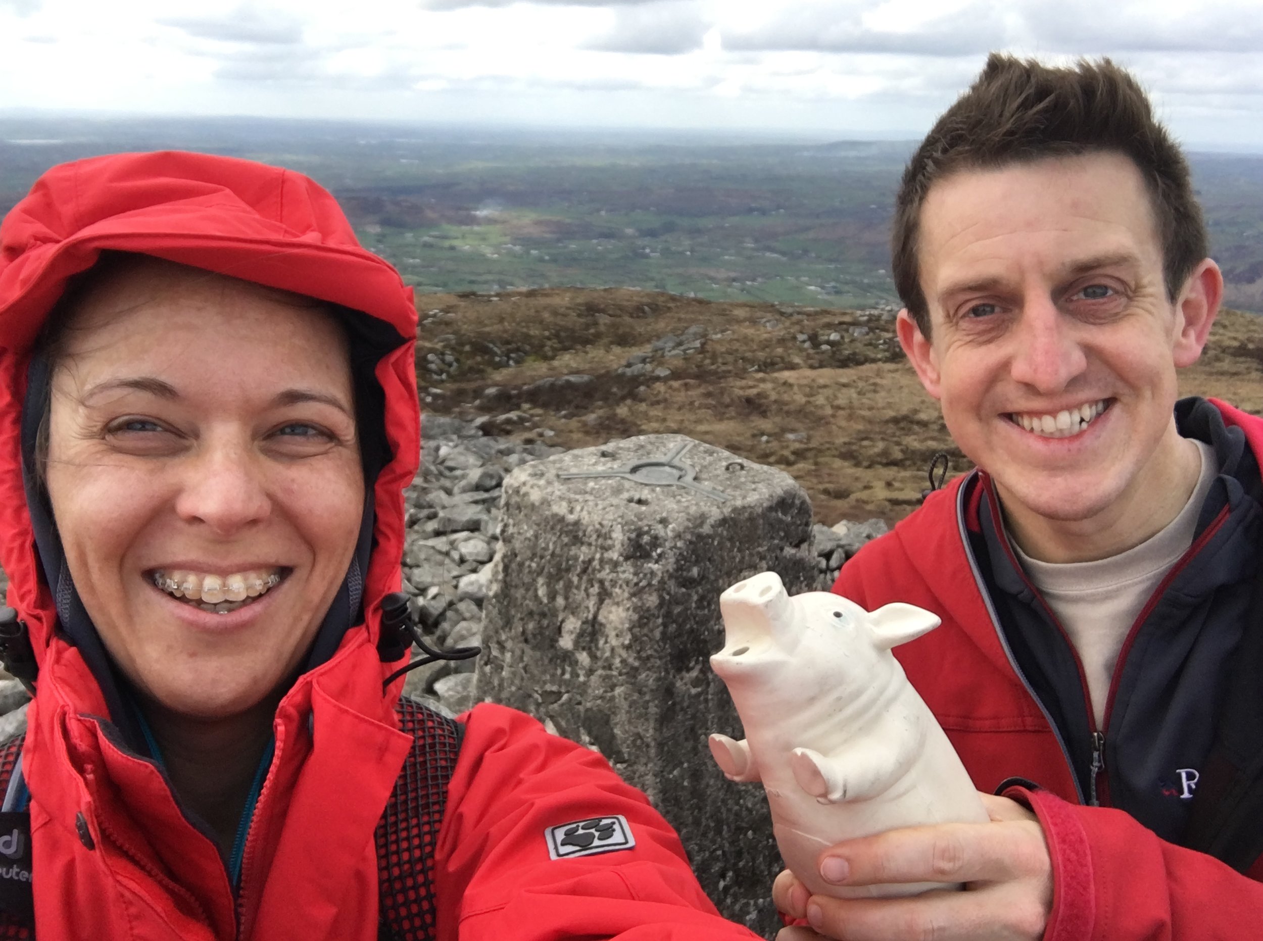
OS Trig Pillar: TP7352 - Slieve Gullion
Guidebook: The UK's County Tops (Jonny Muir)
Links: Wikipedia (County Armagh), Wikipedia (Slieve Gullion), Peakbagger, Hillbagging
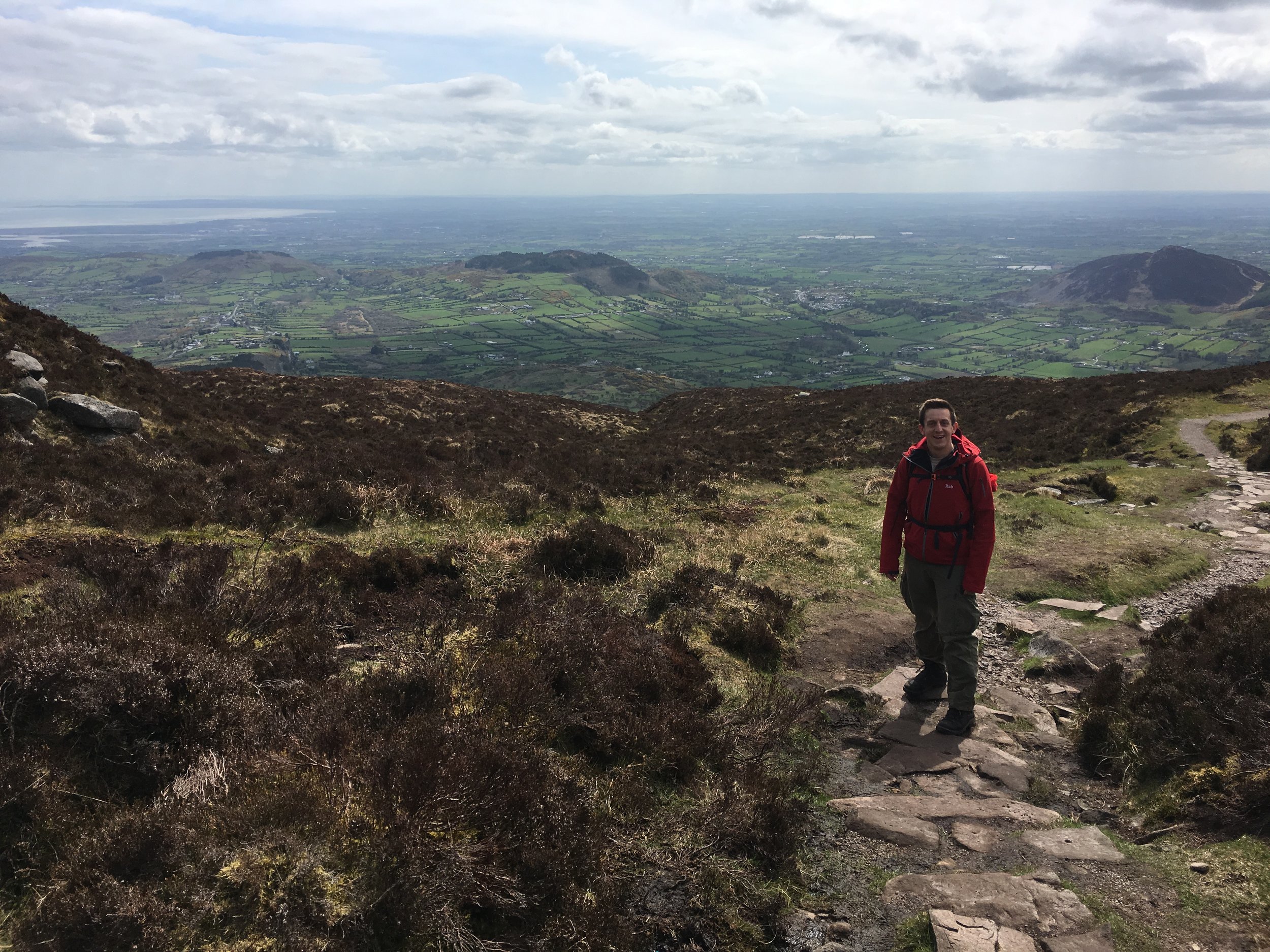
This trek was part of a tour of the Historic County Tops of Northern Ireland that Timea and I did in May 2016.
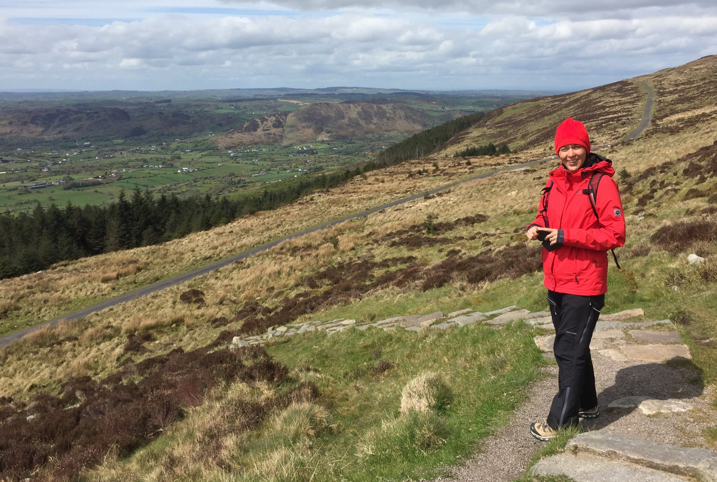
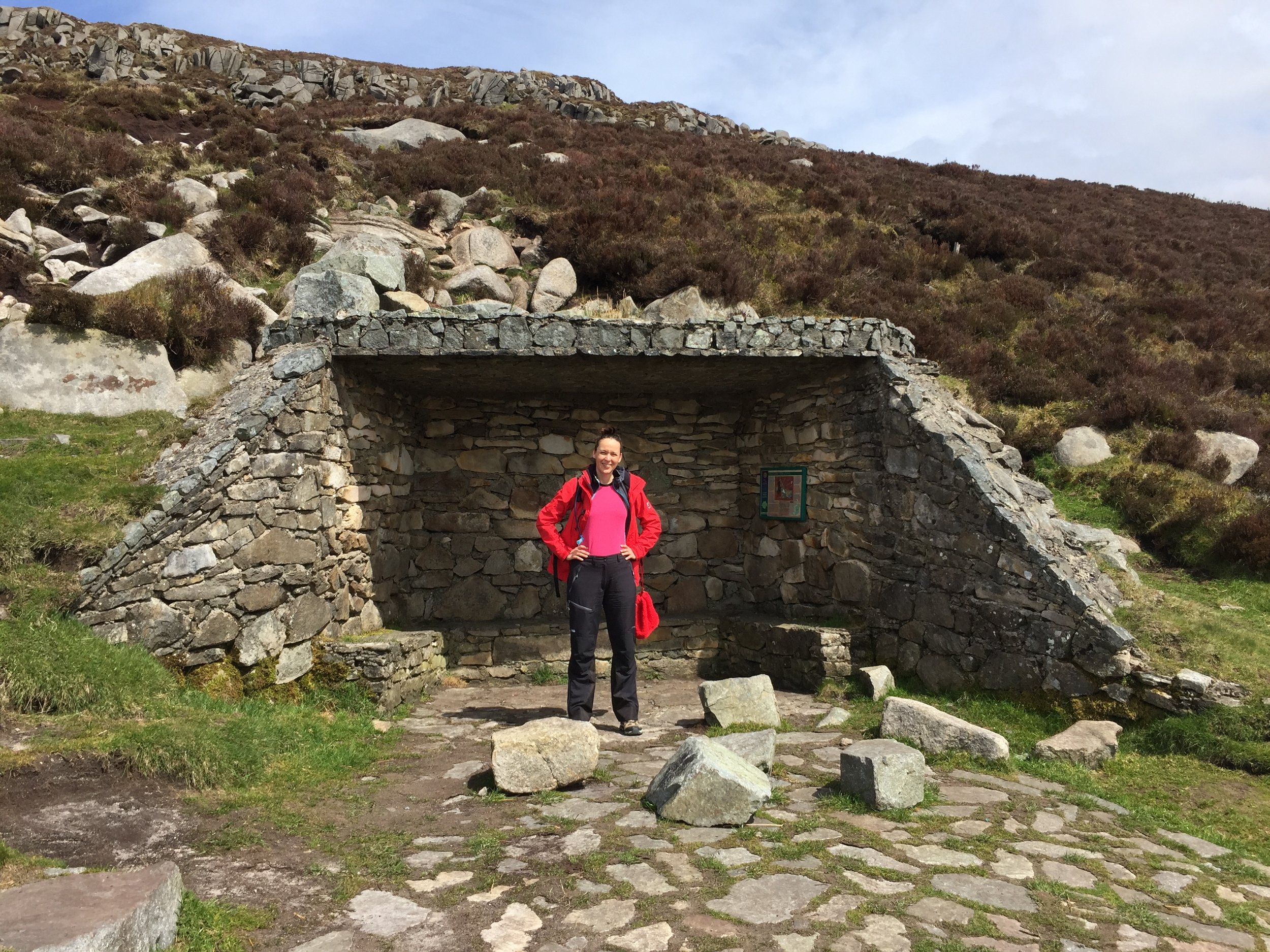
Slieve Gullion was a short walk after a long drive from Donegal. The trek was unexpectedly enjoyable as It looked fairly boring in the book but we really liked it. The mountain road up to the car park was worth the trip there in itself. From the parking spot, the trail snakes up for just over half a mile to the very obvious summit point. We had a clear day and could see for miles.
This was my birthday and the anniversary of our summit day on Mount Toubkal. Whilst a significantly smaller trek than Toubkal, this was still an amazing adventure day.