Sawel Mountain: Londonderry and Tyrone County Tops
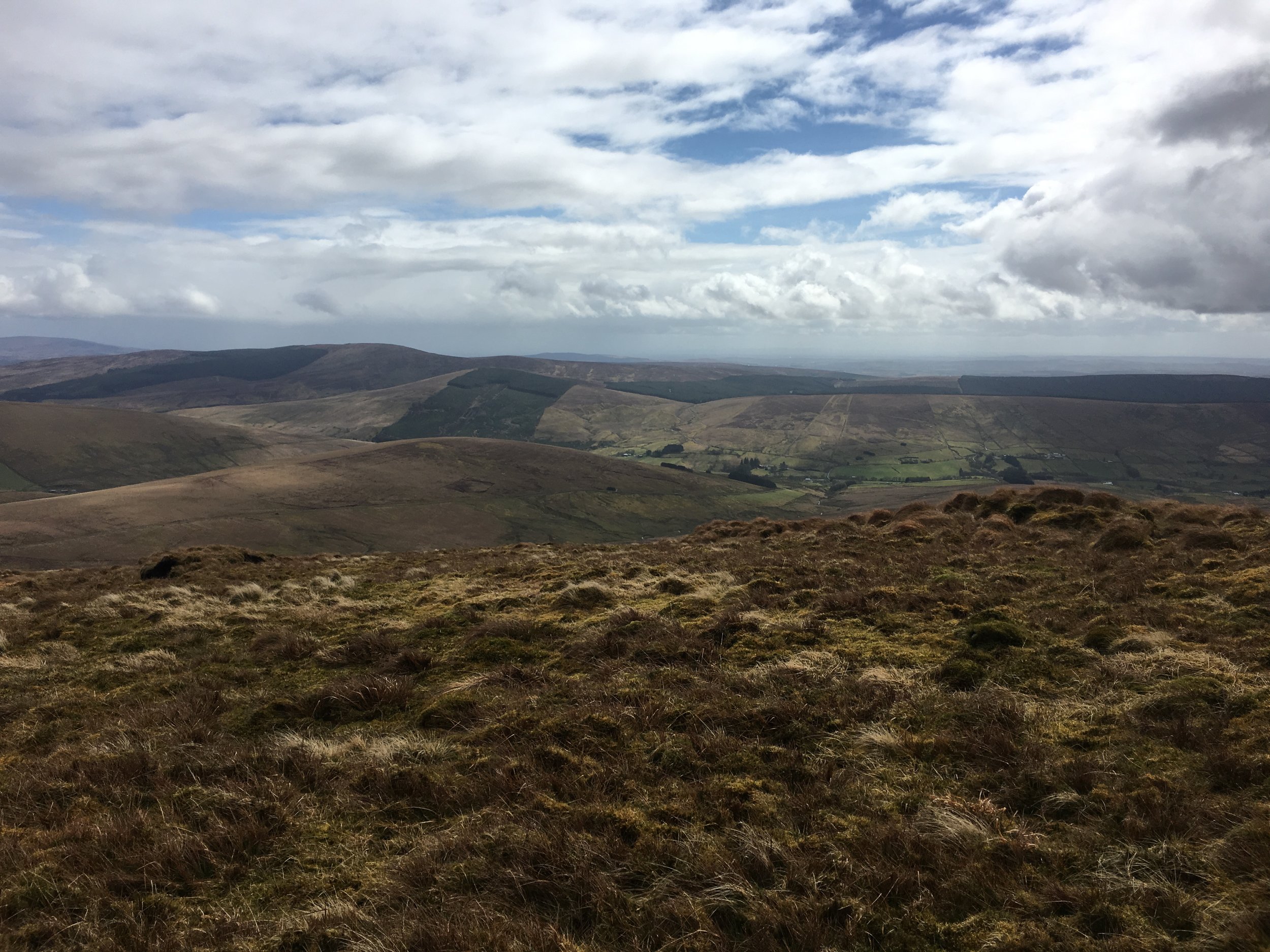
View from the ascent
Also known as: Samhail Phite Meabha
Significance: Highest peak in County Londonderry and County Tyrone (Historic County Top), Sperrins National Landscape High Point
Member of: Marilyn, Hewitt
Parent Peak: TBC.
Nearest Higher Neighbour: Errigal
Elevation: 678m
Date climbed: May 3rd 2016
Coordinates: 54.8189° N, 7.0386° W
Route Start / End: Layby just past cattle-grid on highest point of Park-Sperrin road
Route Distance: 6.4 km (3.4 miles)
Route Elevation Change: +/- 593m
Subsidiary tops on route: None
GPX File: get via Buy Me a Coffee
Other routes touched (walk): Sperrins Challenge Walk
Other routes touched (cycle): None
OS Trig Pillar: TP7350 - Sawel
Map: OS Northern Ireland Activity Maps: The Sperrins (for Sawel Mountain)
Guidebook: The UK's County Tops (Jonny Muir)
Links: Wikipedia (County Londonderry), Wikipedia (County Tyrone), Wikipedia (Sawel Mountain), Peakbagger, Hillbagging
This trek was part of a tour of the Historic County Tops of Northern Ireland that Timea and I did in May 2016.
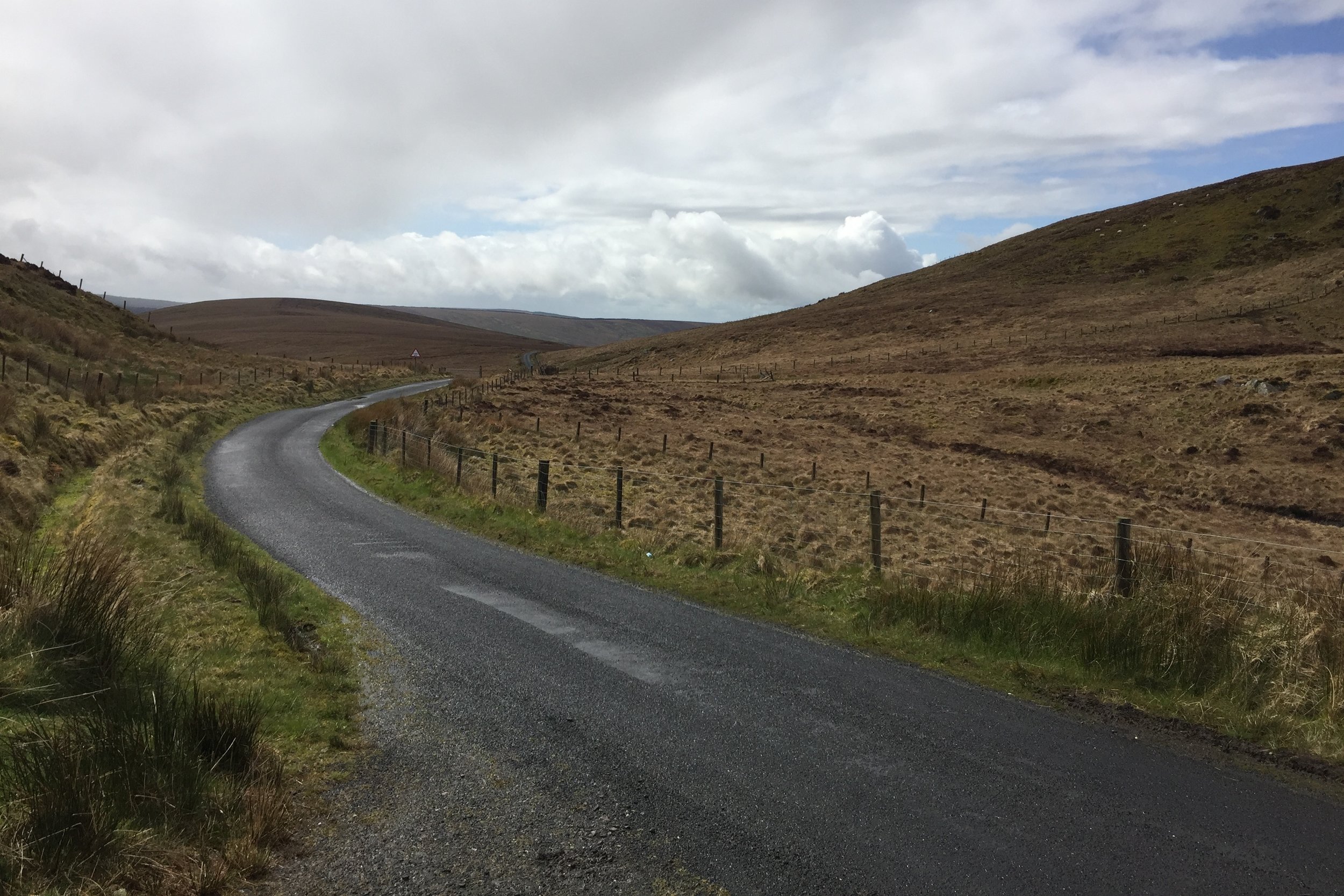
After a rest day at the Giants Causeway we drove South for an hour and a half to find Sawel Mountain. This is clearly not a popular route as the path is not signposted and you need to be careful to find the right spot on Sperrins road to start. Its fairly straightforward, however, and there's a good parking spot just before the cattle grid on the high point of the road.
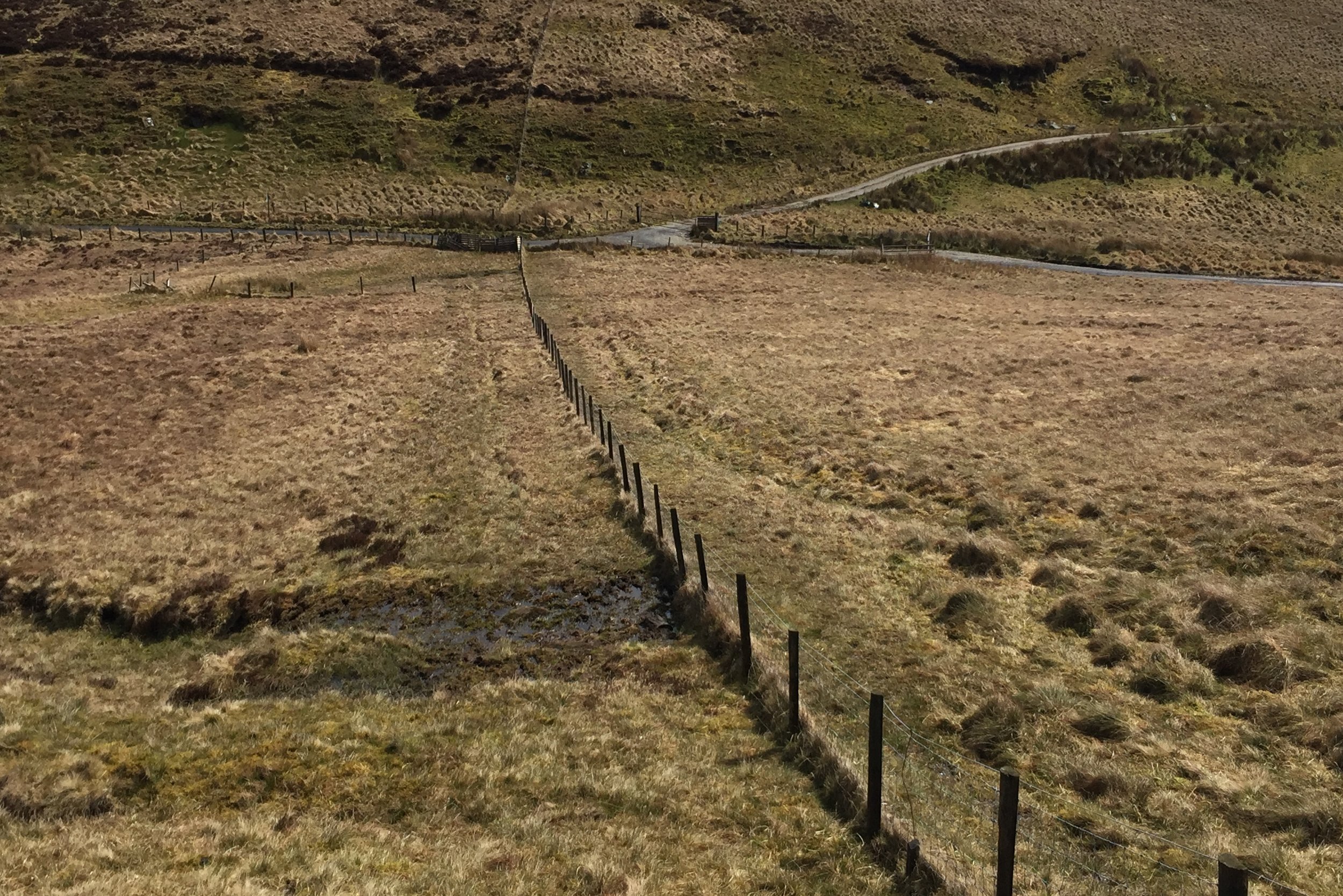
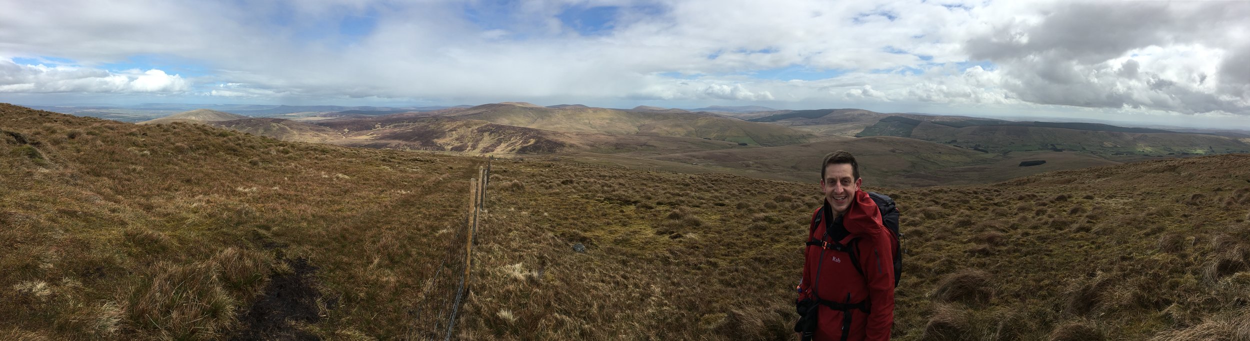
Navigation is fairly simple as you just follow the fence from the cattle grid all the way up to (almost) the summit. Following either side of the fence is OK although we had to cross over a few times and found the south side to be generally dryer that day.
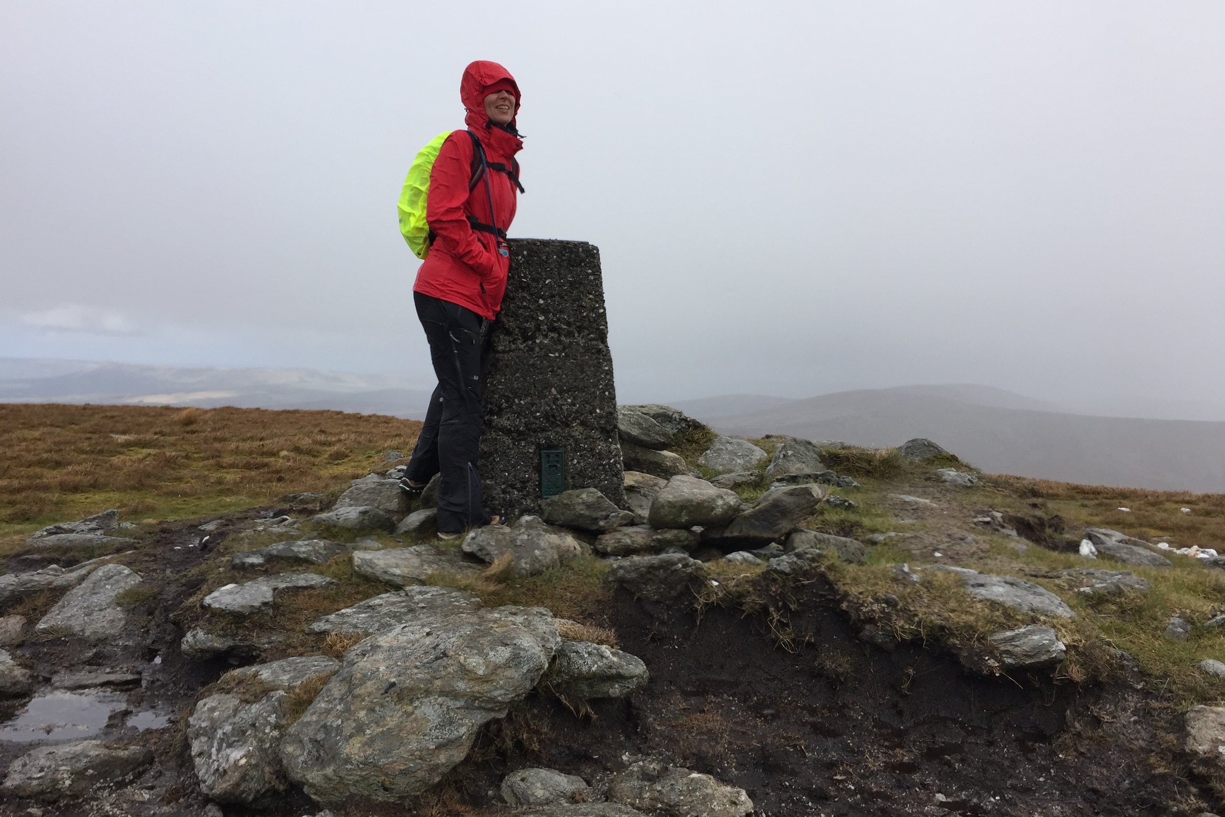
The ascent was a boggy slog taking about an hour and a half. Near the summit the fence veers off to the south for a few hundred metres before taking a right angle to the west. The summit is an obvious Trig Point about 80 metres up from the fence.
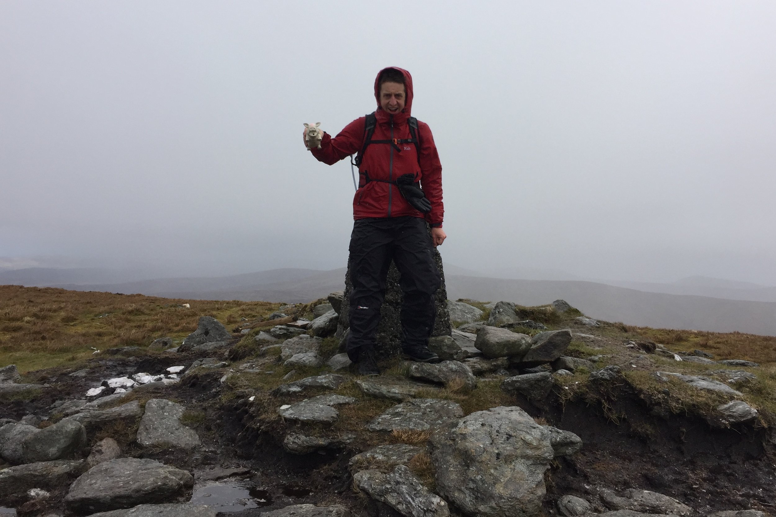
It was hailing and blowing a gale when we got to the Trig Point so we didn't hang around for long. We did hop back over the fence for a few minutes to find the closest bit of high ground to claim the County Tyrone high point.