Trostan: Antrim County Top
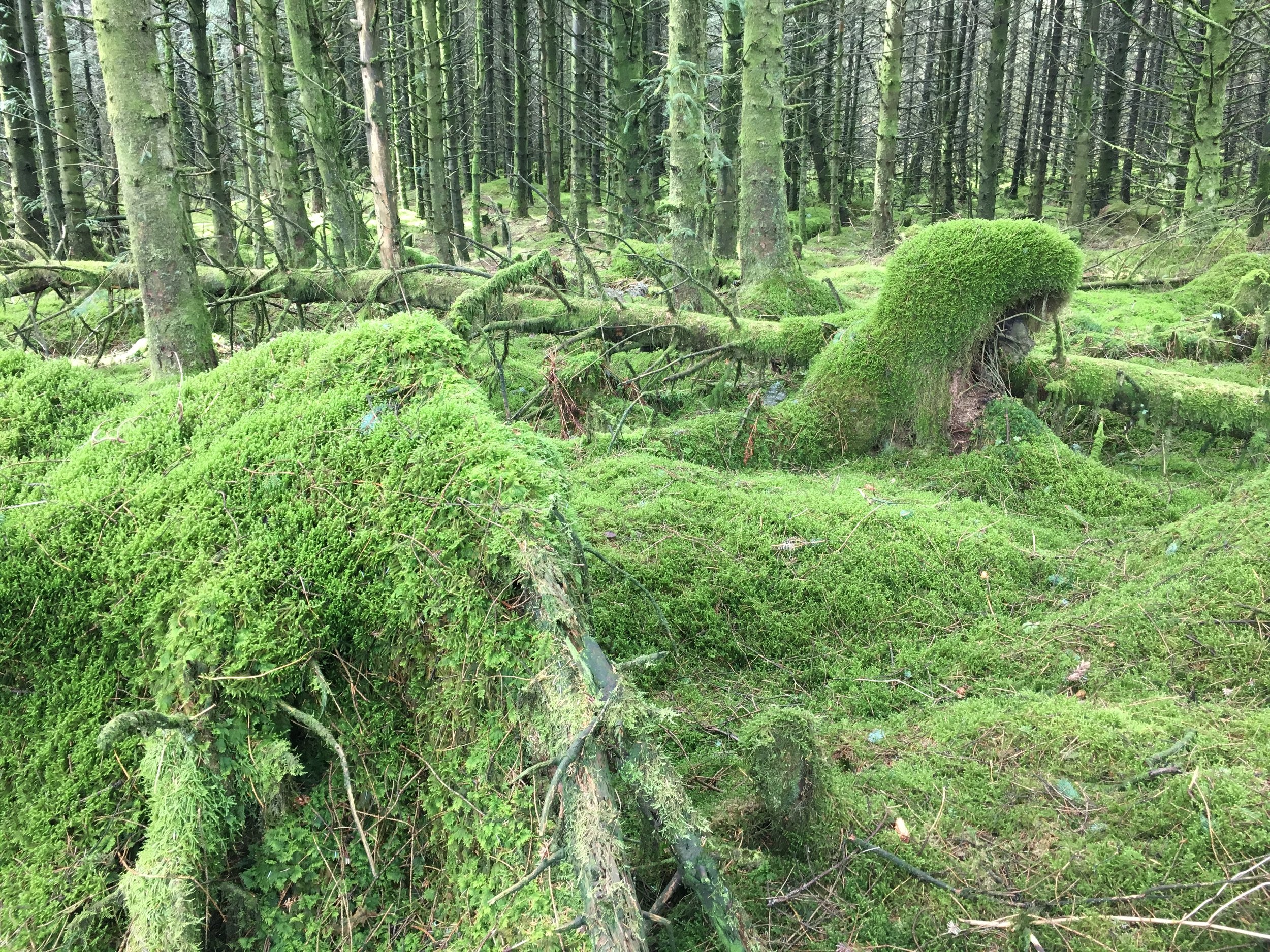
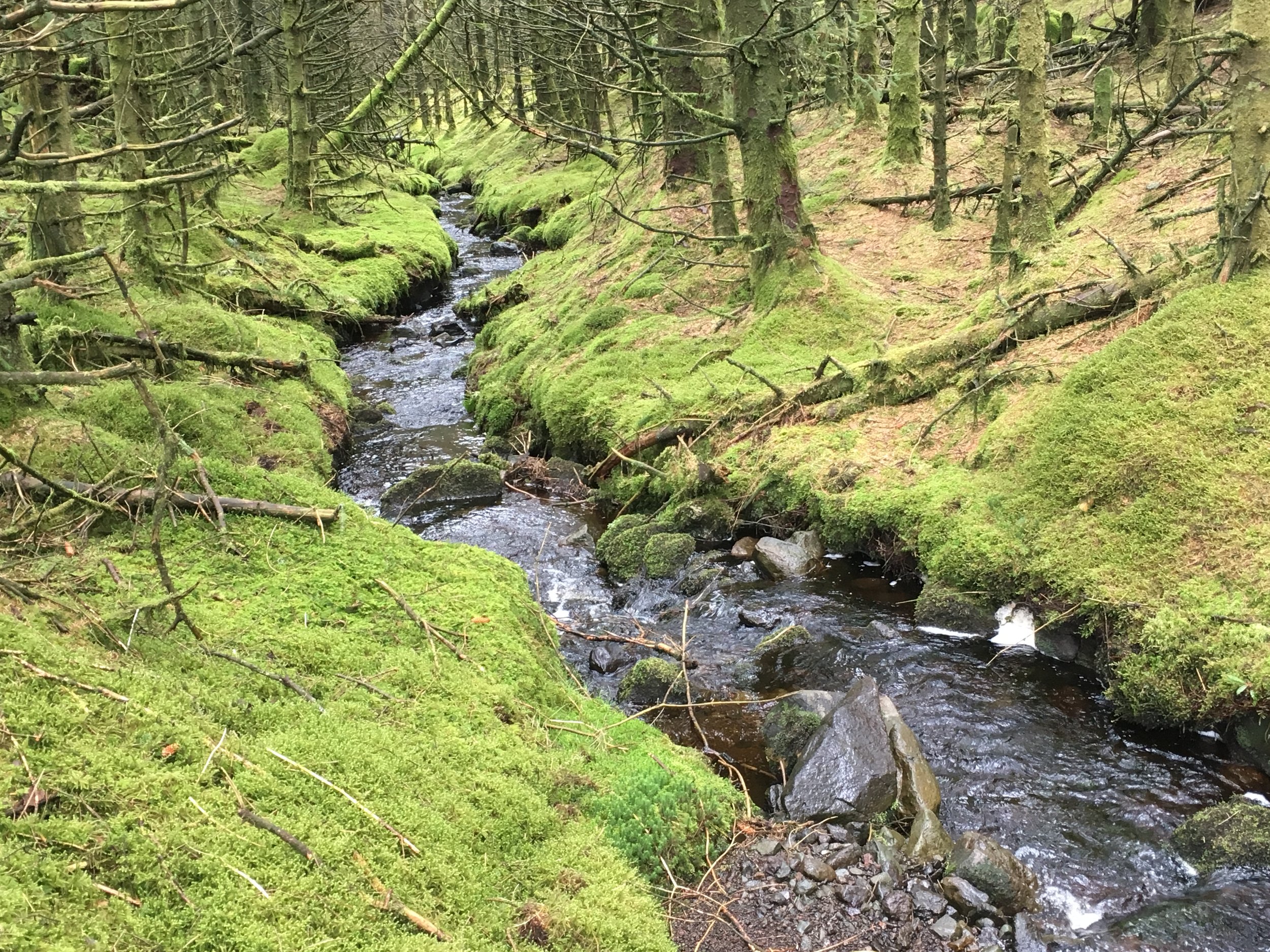
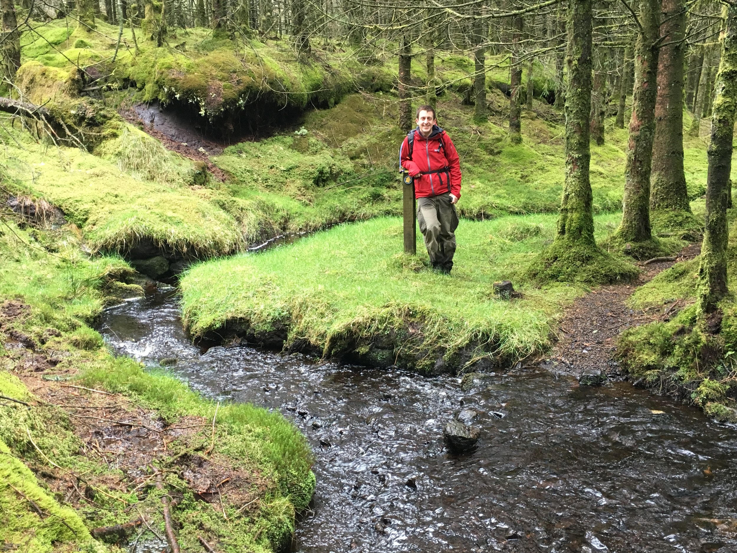
Emerald woods on the descent from Trostan
Significance: Highest peak in County Antrim (Historic County Top), Antrim Coast and Glens National Landscape High Point
Member of: Marilyn
Parent Peak: TBC.
Nearest Higher Neighbour: Oughtmore
Elevation: 550m
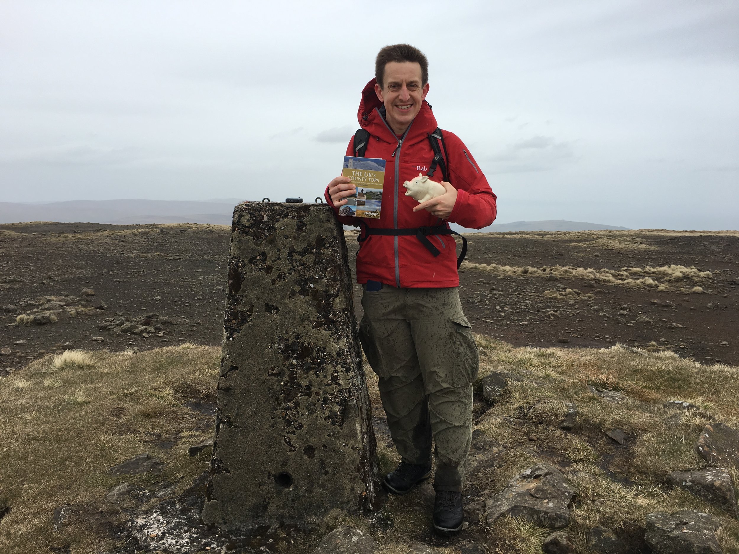
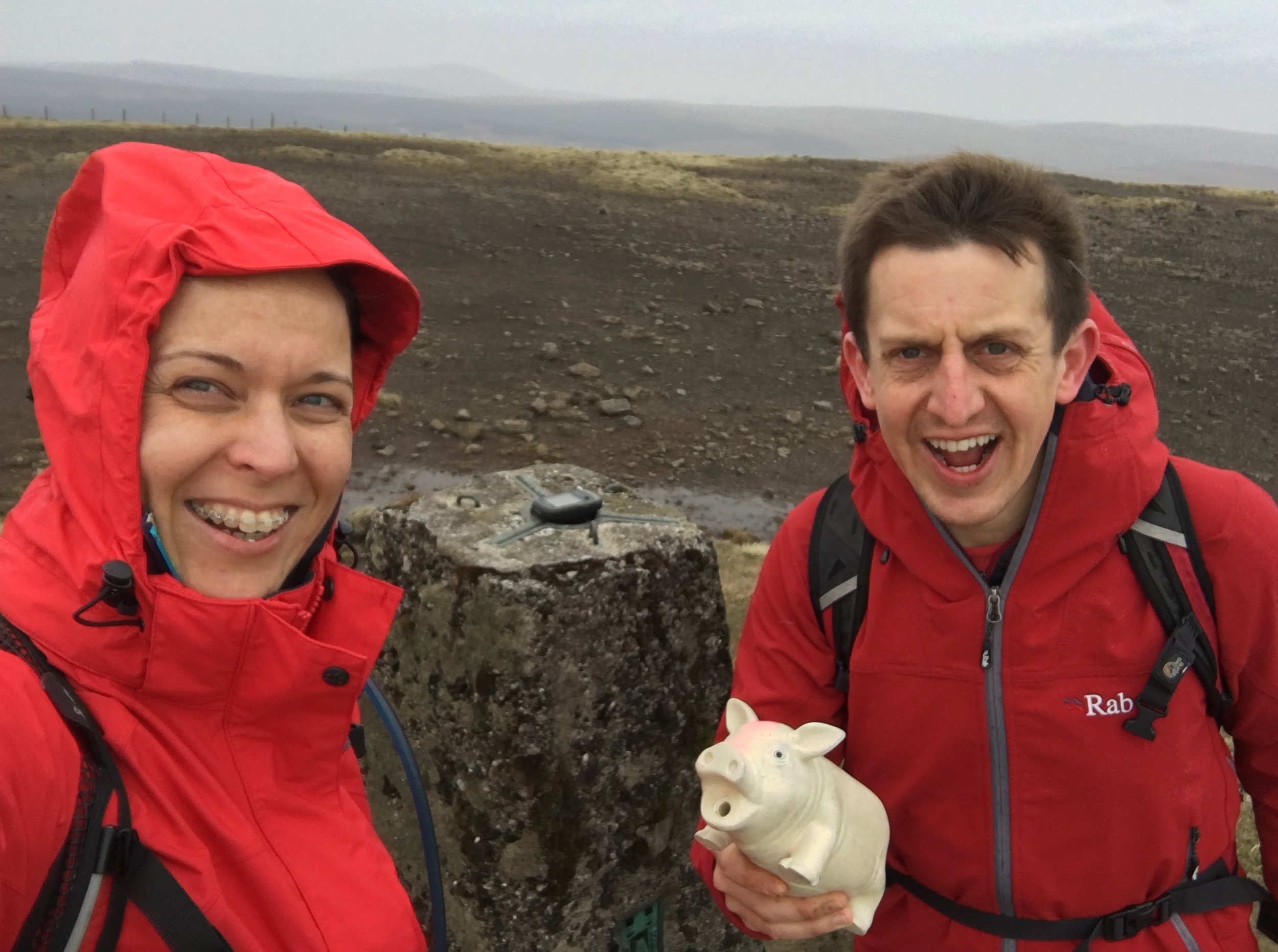
Date climbed: May 1st 2016
Coordinates: 55.0458° N, 6.1553° W
Route Start / End: Layby near Essathohan Bridge on Ballyeamon Road
Route Distance: 9.8 km (6 miles)
Route Elevation Change: +/- 724m
Subsidiary tops on route: None
GPX File: get via Buy Me a Coffee
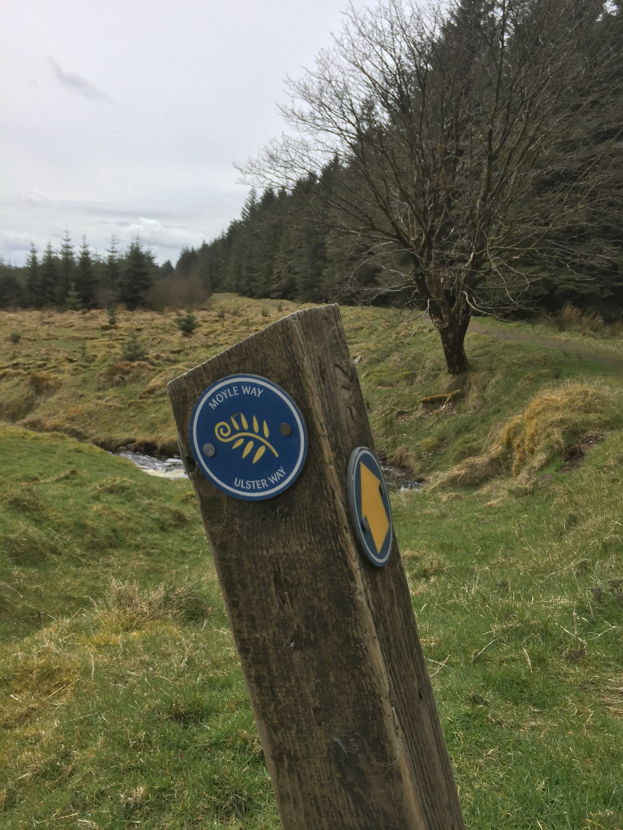
Other routes touched (walk): Moyle Way
Other routes touched (cycle): None
OS Trig Pillar: TP7349 - Trostan
Map: OS Northern Ireland Activity Maps: Glens of Antrim
Guidebook: The UK's County Tops (Jonny Muir)
Links: Wikipedia (County Antrim), Wikipedia (Trostan), Peakbagger, Hillbagging
This trek was part of a tour of the Historic County Tops of Northern Ireland that Timea and I did in May 2016.
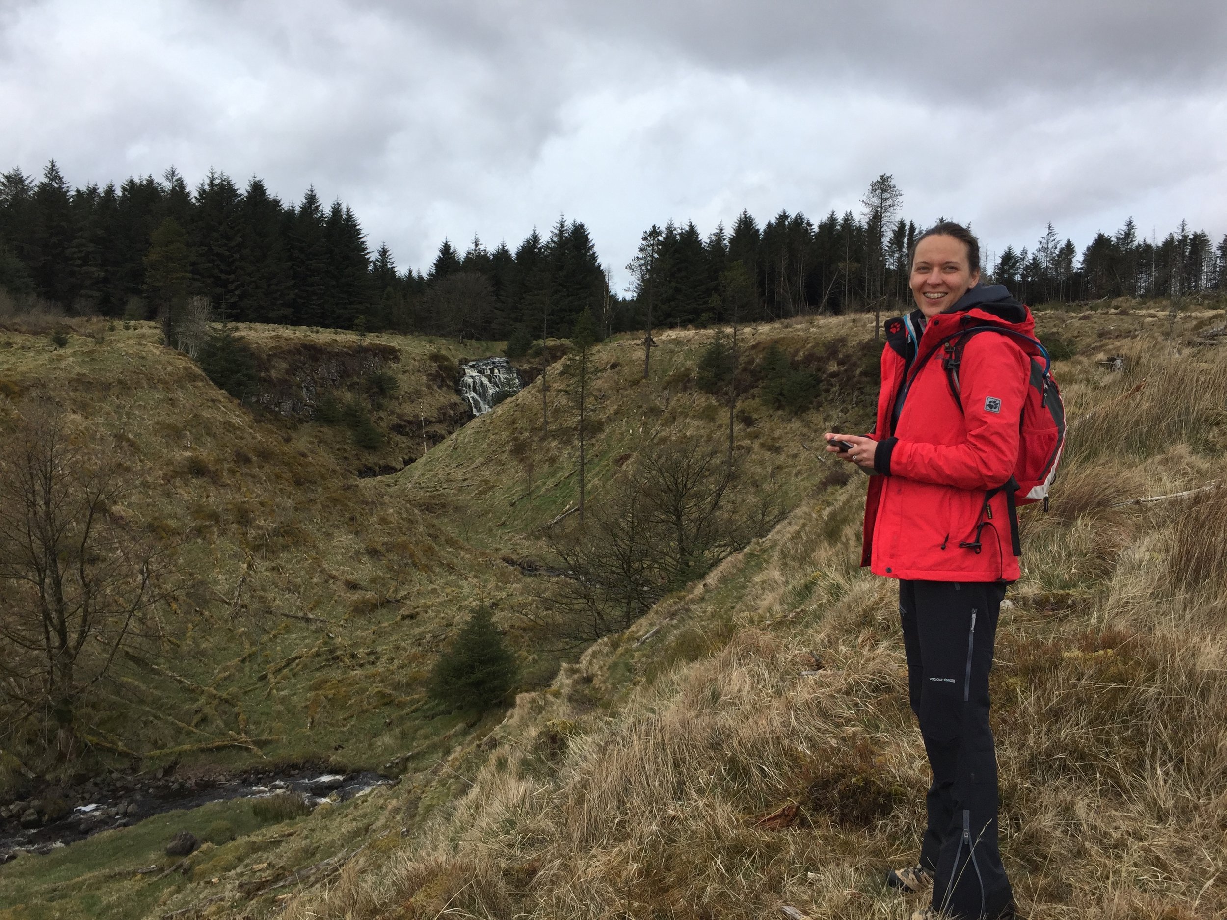
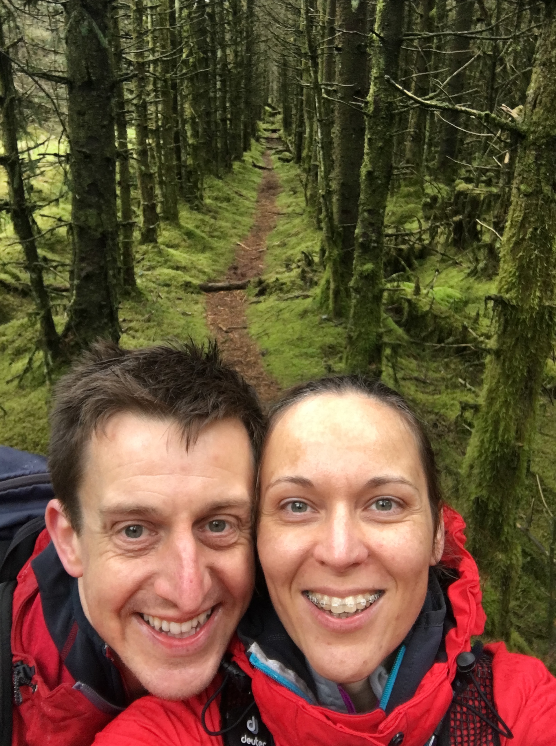
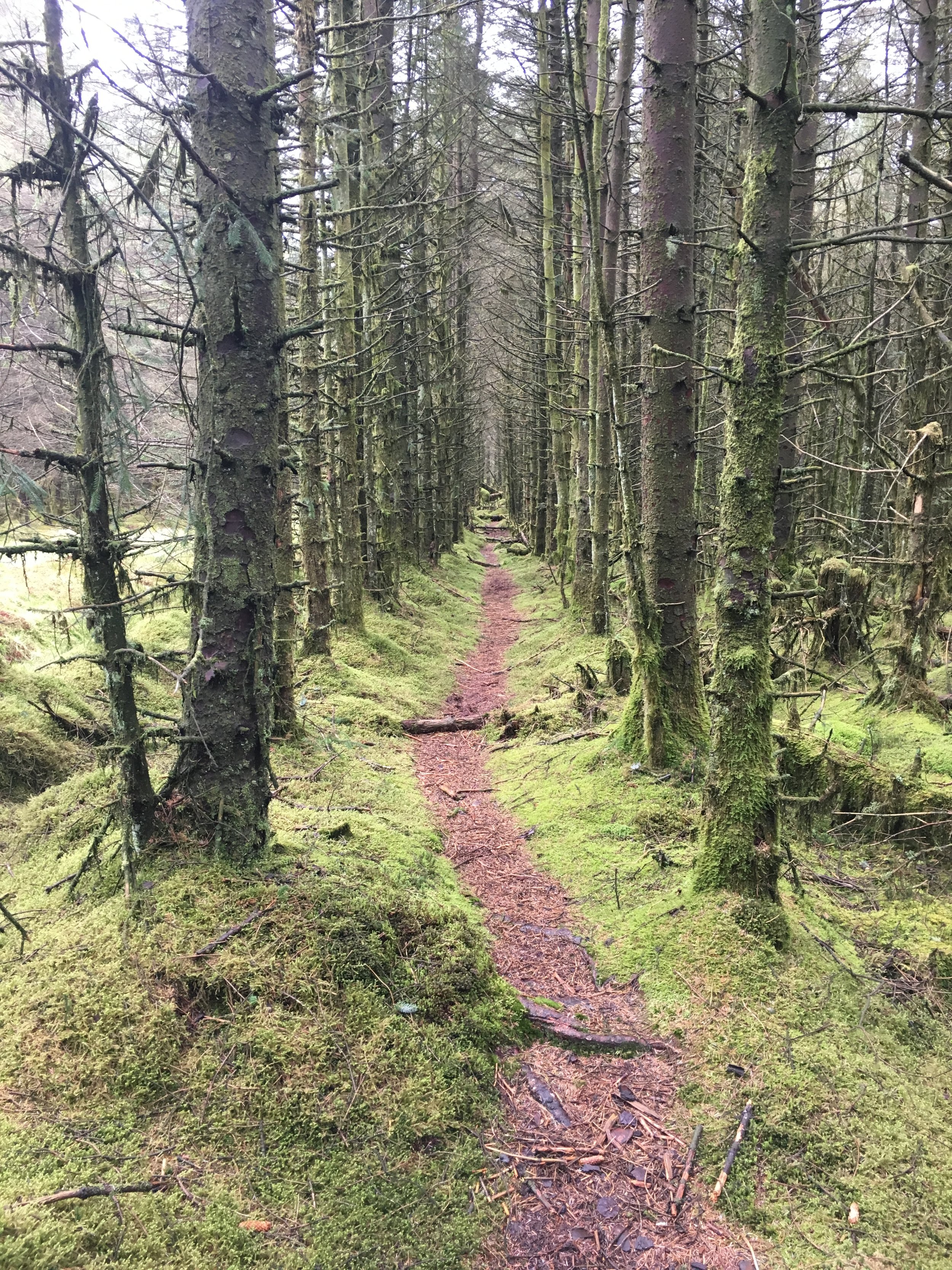
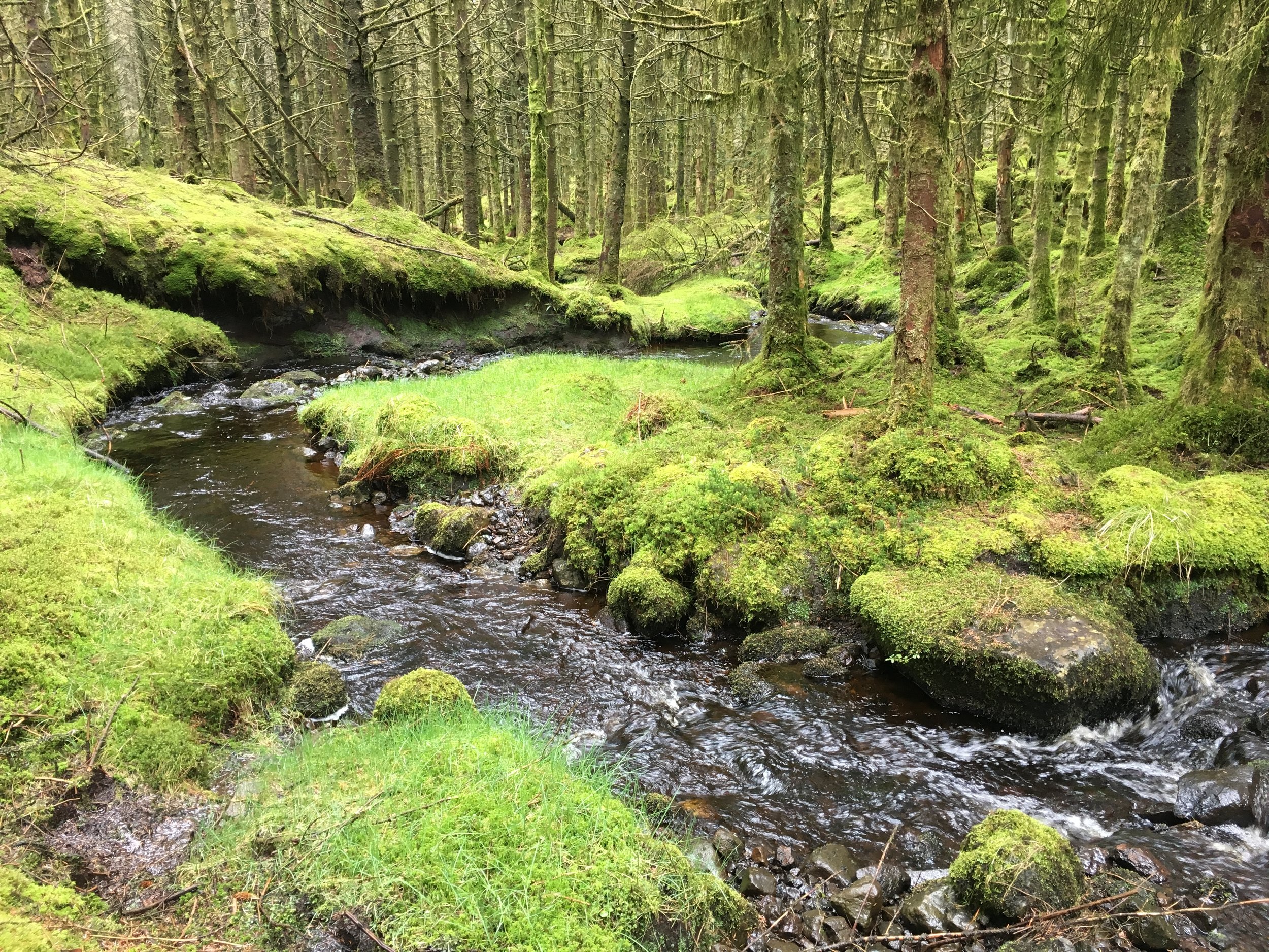
Our first walk was Trostan, about an hour North of Belfast in the centre of County Antrim. The weather was fairly good and the rain held off till the last 20 minutes. Even so, the ground was saturated and most of the route was through a peaty swamp. We followed the Moyle Way, initially along the right hand side of a stream to a waterfall and an old stone bridge. We turned left across the bridge, following a track for about 2 hundred metres, then turned right to follow another track up though the forest. This took us a little off course which we needed to correct once we got above the tree line. On the way back we discovered that the better route up would have been to have continued straight up past the stone bridge, following the course of the stream.
Once we were back on track after the forest, we relied on the GPS for navigation and the trek to the summit was mostly a matter of finding the driest and least bumpy route. The actual summit is enclosed by a fence with one dilapidated style that takes some skill to cross without impaling yourself. Once past the fence, we headed towards the 2 cairns and the summit Trig Point was very close-by and easy to see.
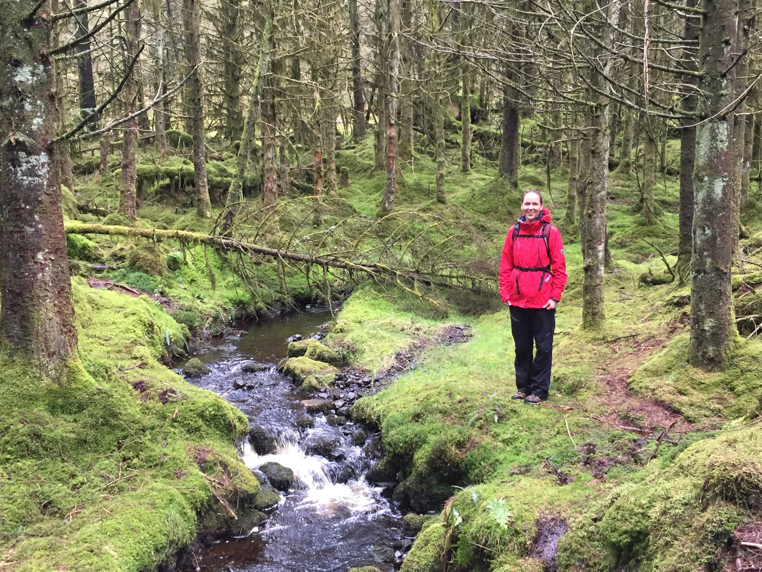
The descent was much more enjoyable as we took a more direct route down through the forest, following the stream. The colours of the moss covered trees were amazing, showing why they call this place the Emerald Isle. The path next to the stream was very boggy, but added to a fun walk down with many stops for photos.
From the lay-by where we parked we continued on towards Cushendun and picked up the Tor Point Scenic Drive. This is a off-shoot of the Causeway Scenic Route and takes in some dramatic cliff top lanes overlooking the North East Coast. The route passes through Ballycastle and a collection of National Trust properties, before reaching the Giants Causeway near Bushmills.