Mynydd y Betws: Swansea High Point
Penlle'r Castel
Significance: High Point for the Welsh Principal Area of Swansea
Member of: Marilyns
Parent Peak: TBC. NHN = Garreg Lwyd
Elevation: 373m
Date climbed: August 19th 2023
Coordinates: 51° 46' 2'' N, 3° 56' 15'' W
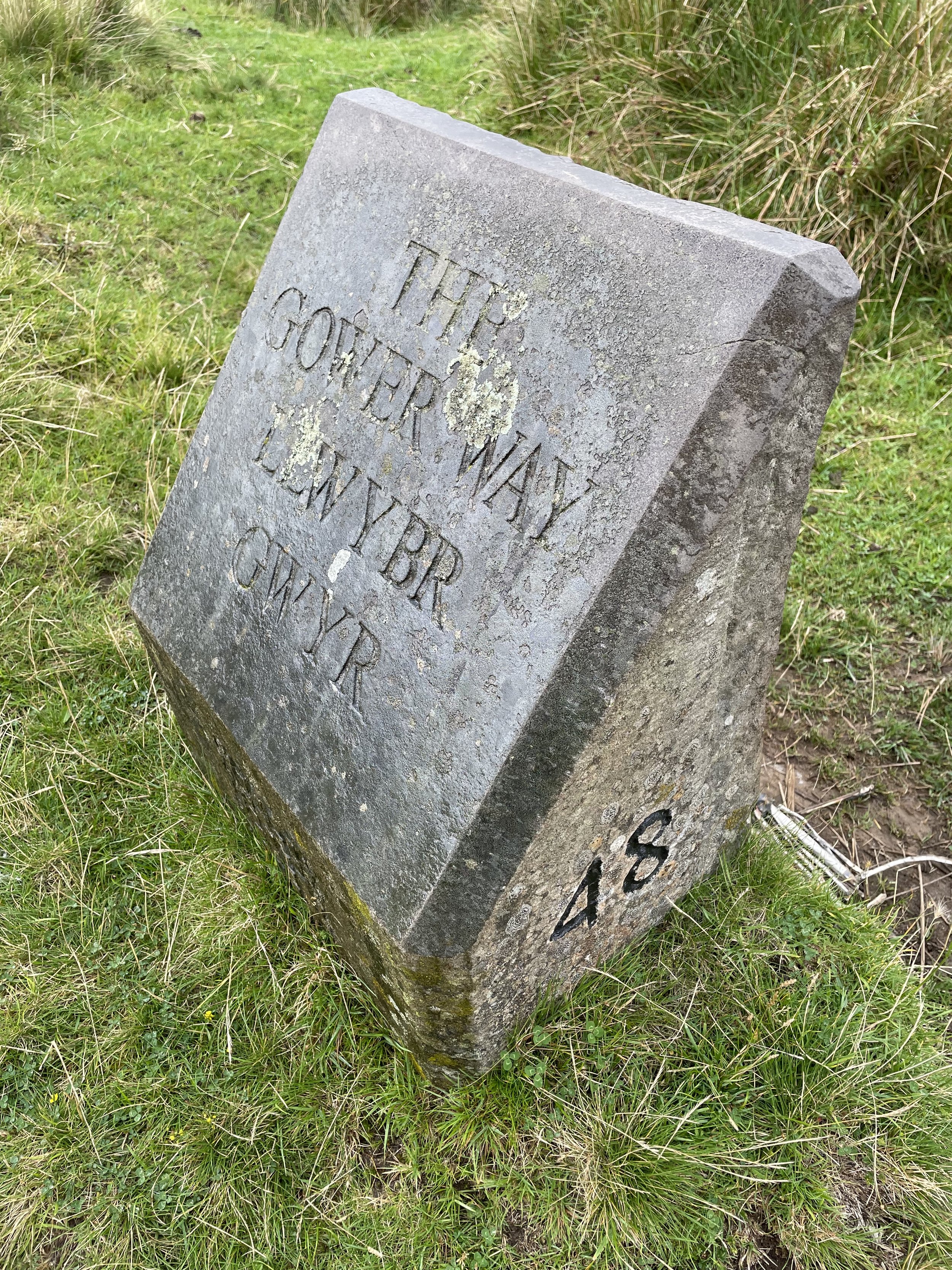
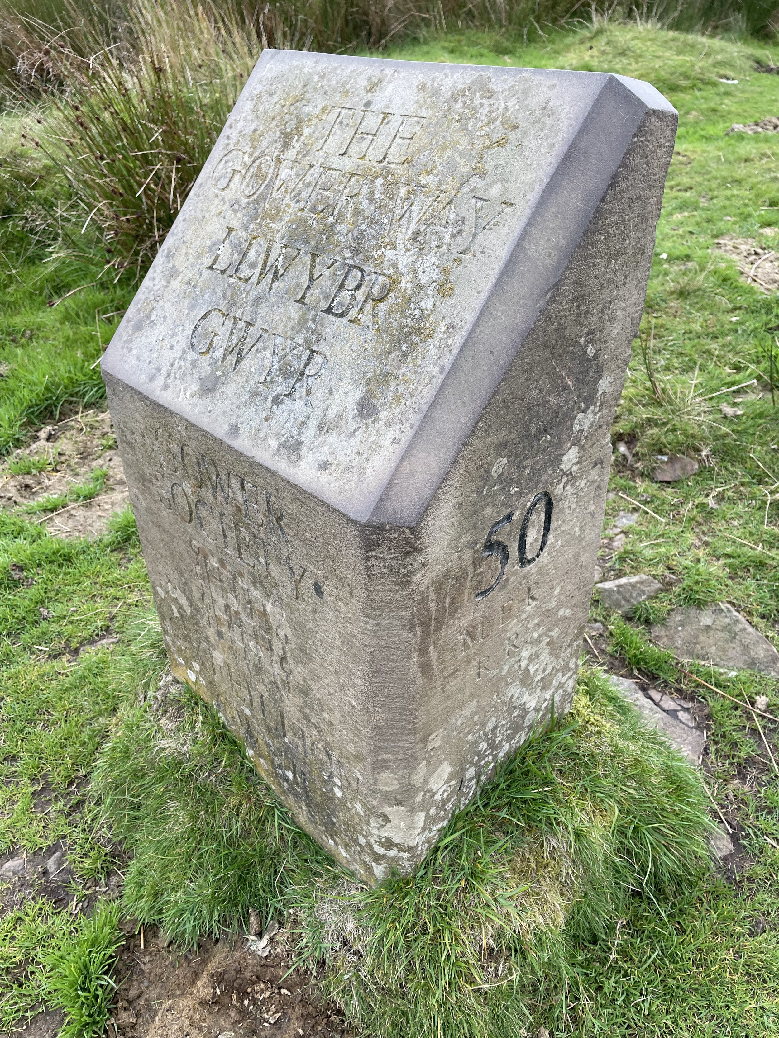
Route Start & Finish: Parking spot at junction of 2 small roads at marker 48 of the Gower Way
Route Distance: 1.3 km (>1 mile)
Route Elevation change: +/- 55m
GPX File: get via Buy Me a Coffee
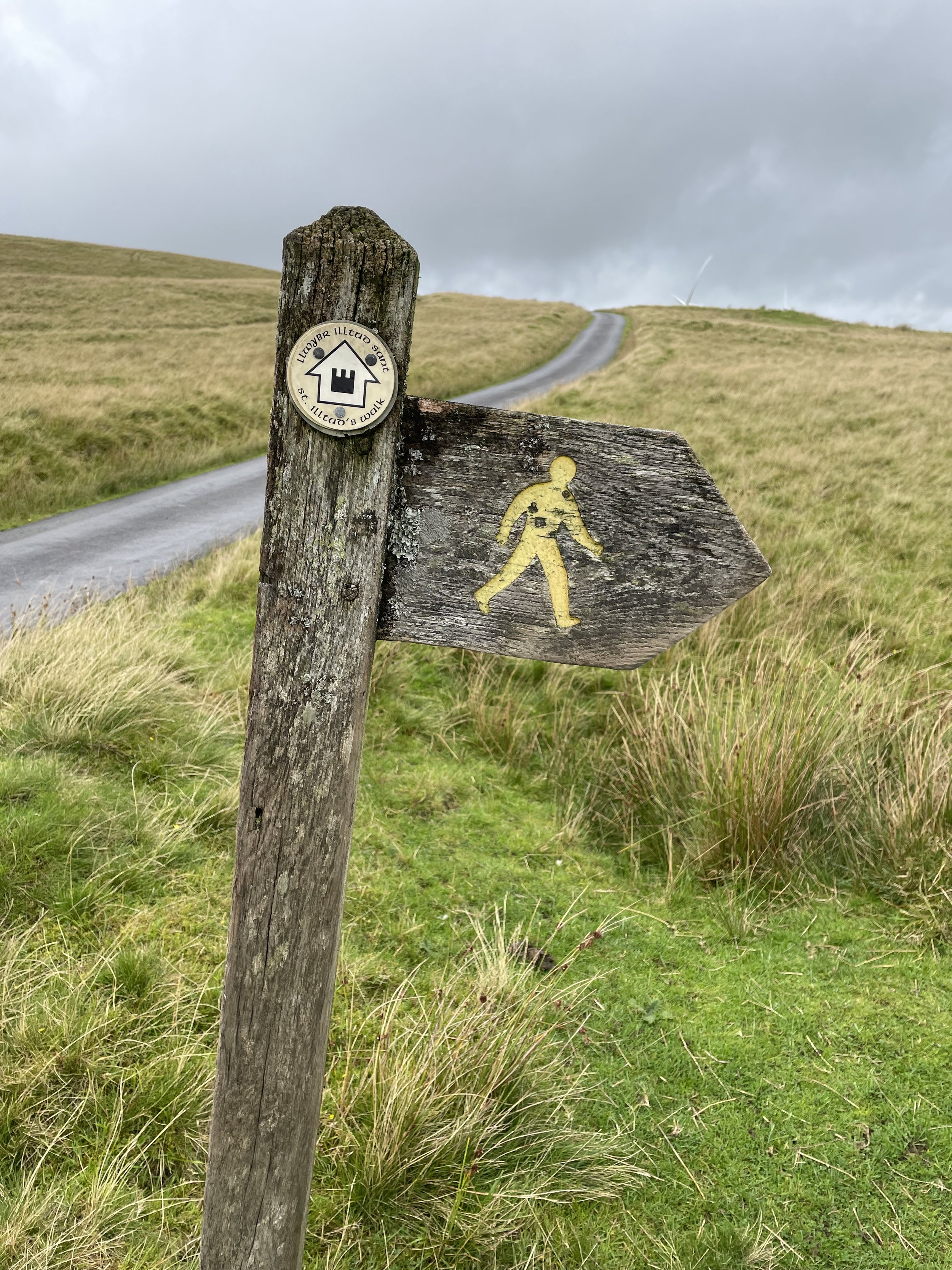
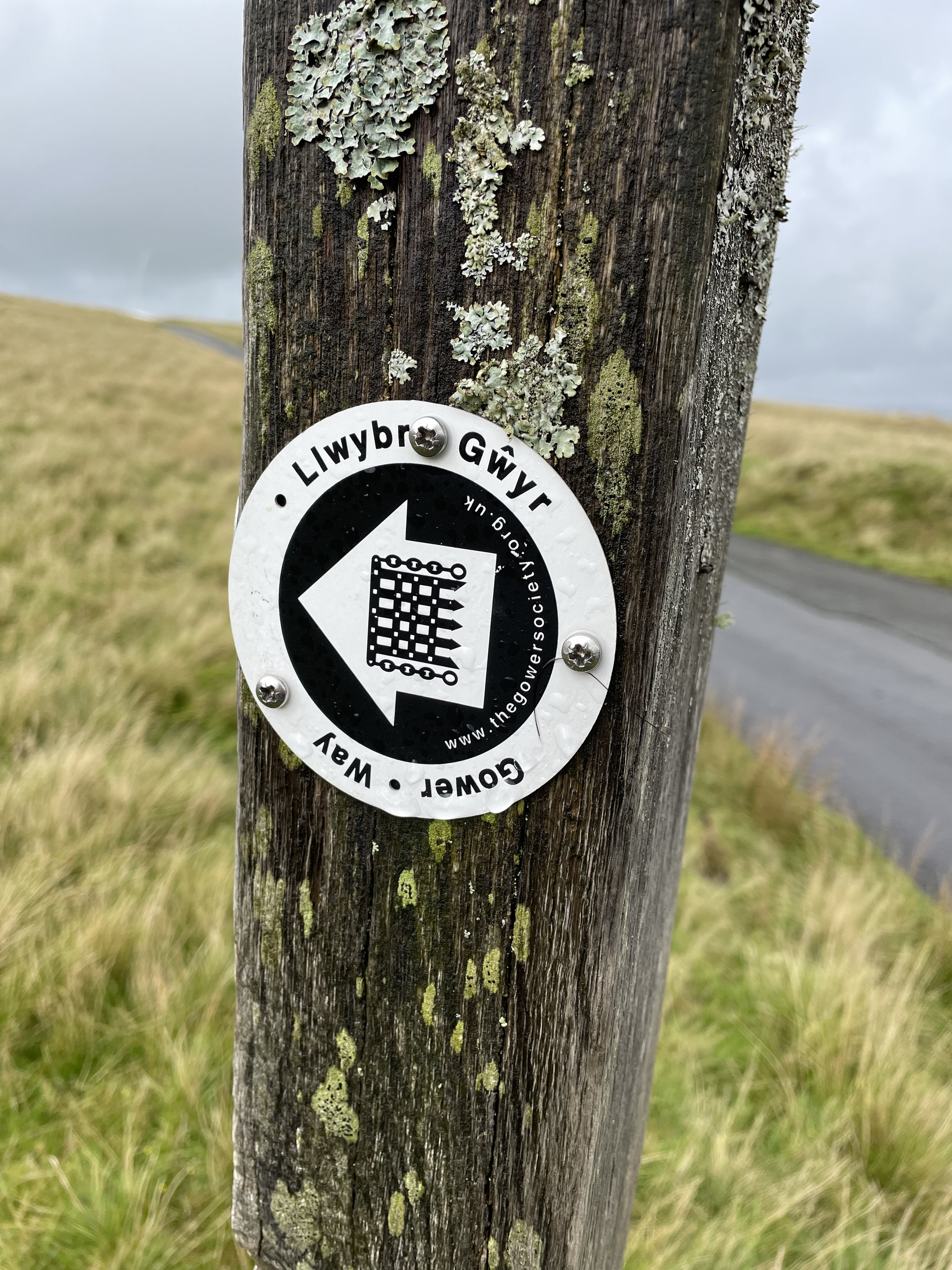
Other routes touched (walk): The Gower Way
OS Trig Pillar: TP5000 - Mynydd Bettws
Pubs / Cafes on route: N/A
Map: Swansea/Abertawe Map | Neath/Castell-Nedd & Port Talbot | Ordnance Survey | OS Explorer Map 165
Links: Wikipedia: (Swansea / Mynydd y Betws / Penlle'r Castell), Peakbagger
Mynydd y Betws is the high point of the Welsh Principal Area of Swansea within the Historic County of Glamorganshire.
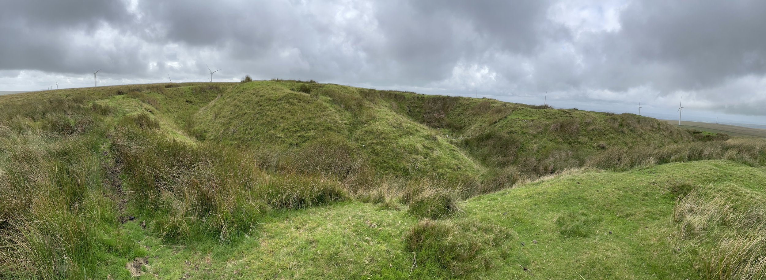
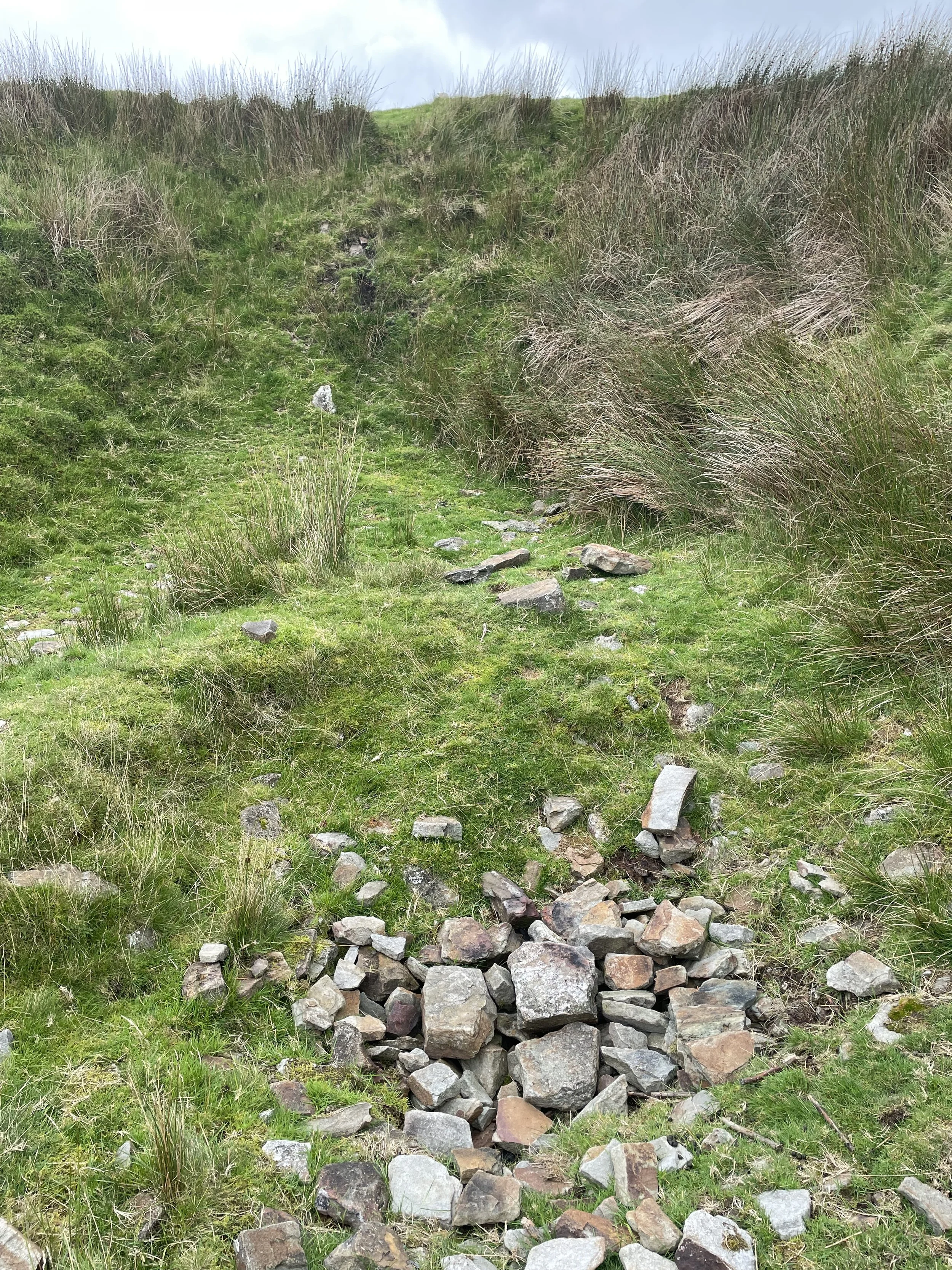
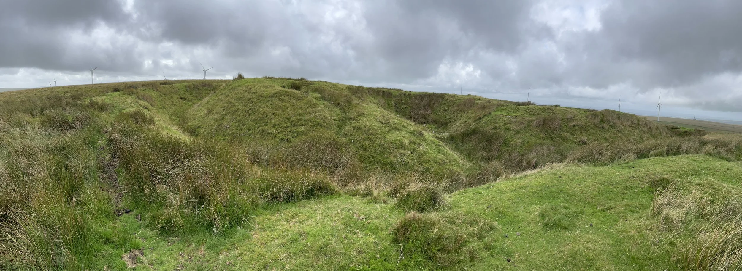
It’s a misleading name as the Swansea high point is at Penlle'r Castel, an historic ruin on the summit of Mynydd y Gwair. There’s a nearby Trig Pillar called Mynydd Betws and, according to the map I was using, another summit called Mynydd y Betws with an elevation of 341m. I decided to bag them all just to be sure. My plan was to do them in a circular walk from the start of the access road to the farm near the Trig Pillar. It was wet and windy when I arrived so I decided to bag the Trig Pillar and the 341m peak first, then drive closer to the path to Penlle'r Castel.
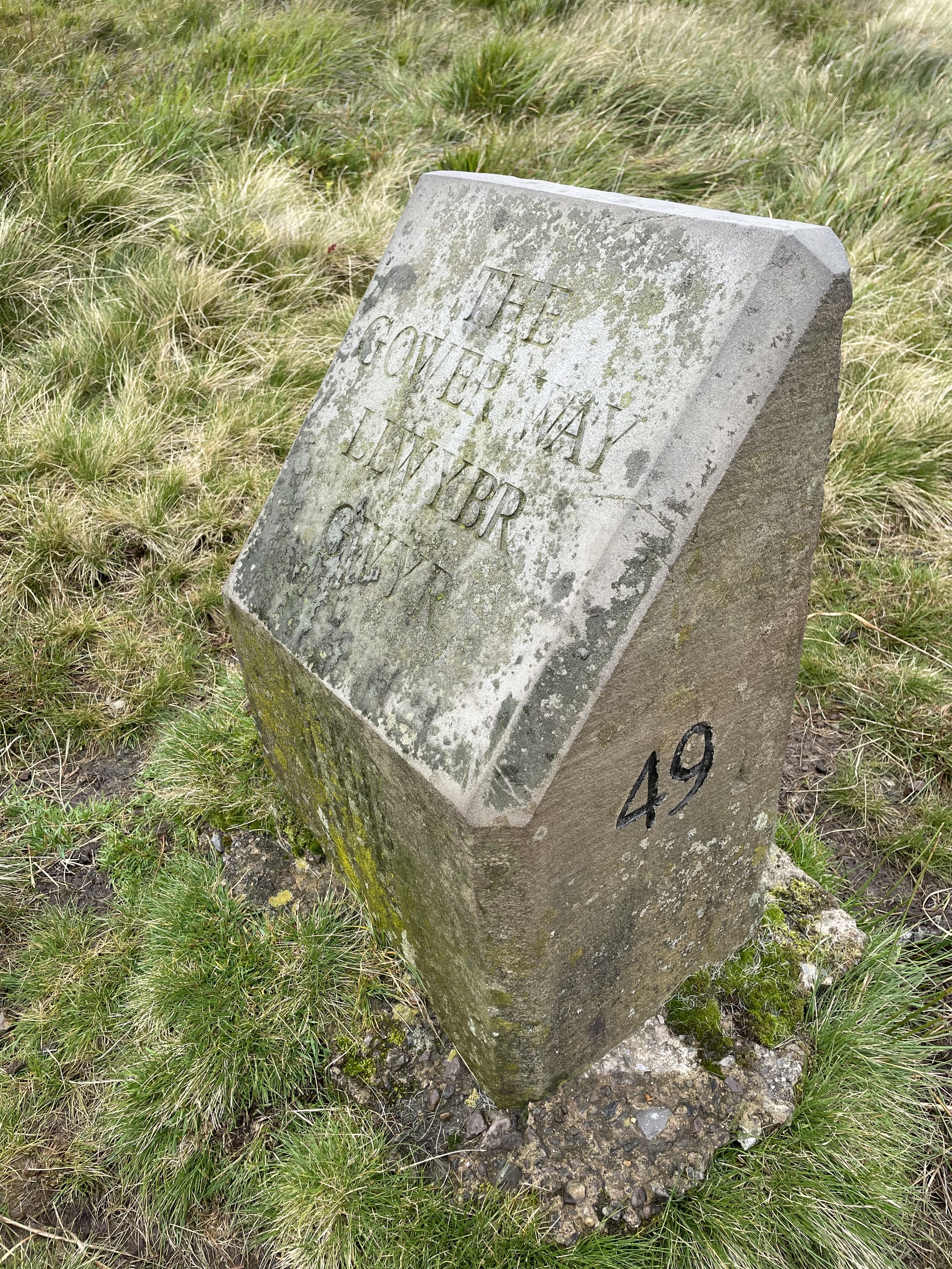
The best place to park for access to Penlle'r Castel is at a path junction by marker 48 of The Gower Way on the east side of the hill. If you’re driving there from the south you’ll likely come up the Rhydypandy Road. This passes very close to the western side of the summit shortly before a sharp bend in the road and a steep descent. There’s no safe parking space here, so continue down the hill, then take a right at the first junction to find the parking spot at Gower Way marker 48. Note that the road junction you will have just taken is the tri-point of the counties of Swansea, Carmarthenshire and Neath Port Talbot.
From the parking spot follow the Gower Way to the remains of Penlle'r Castel. My map had the 371m point a little further to the south-west so I continued along the path, almost to the Rhydypandy Road. Retrace your steps to return to the parking spot.