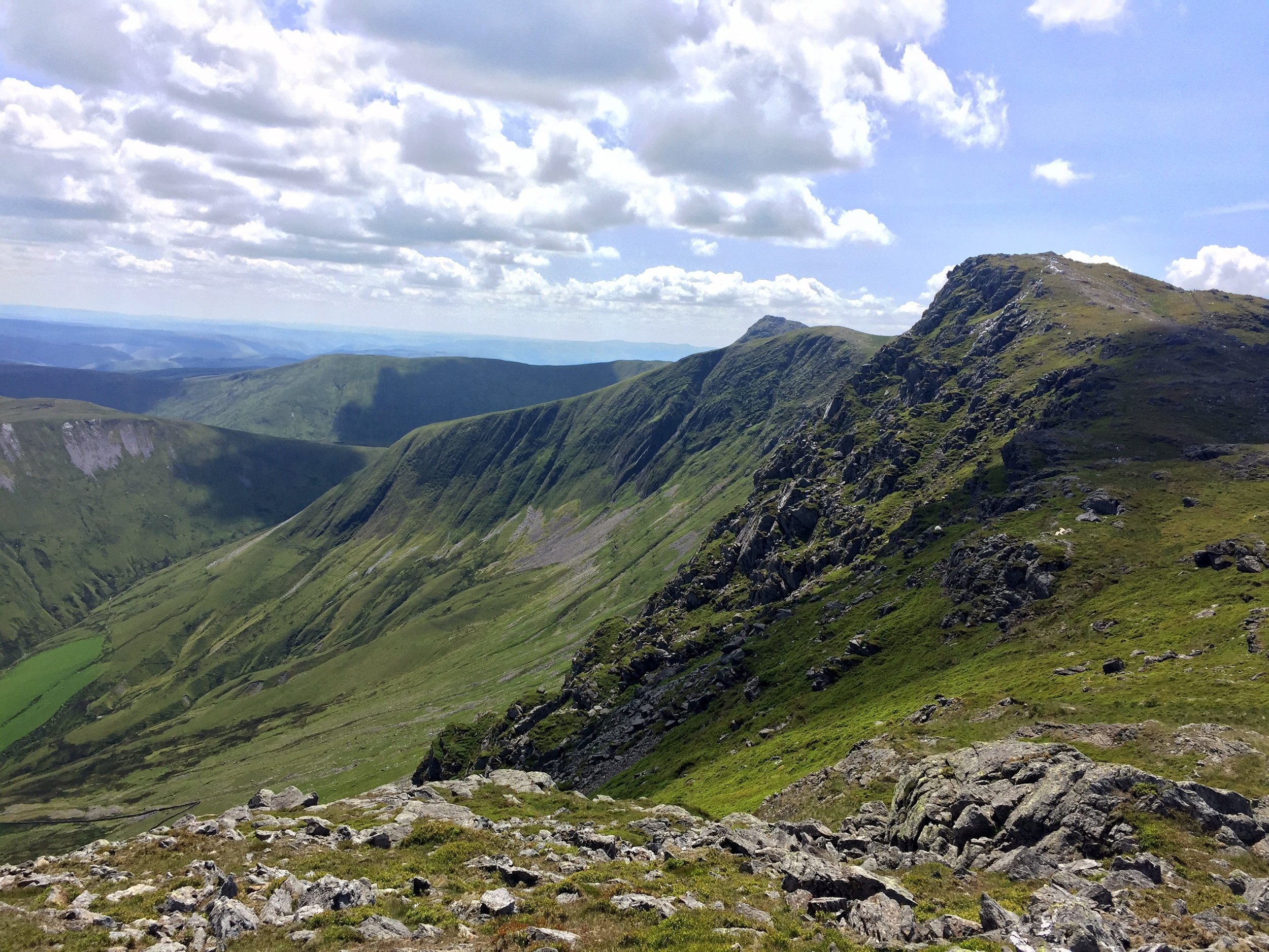
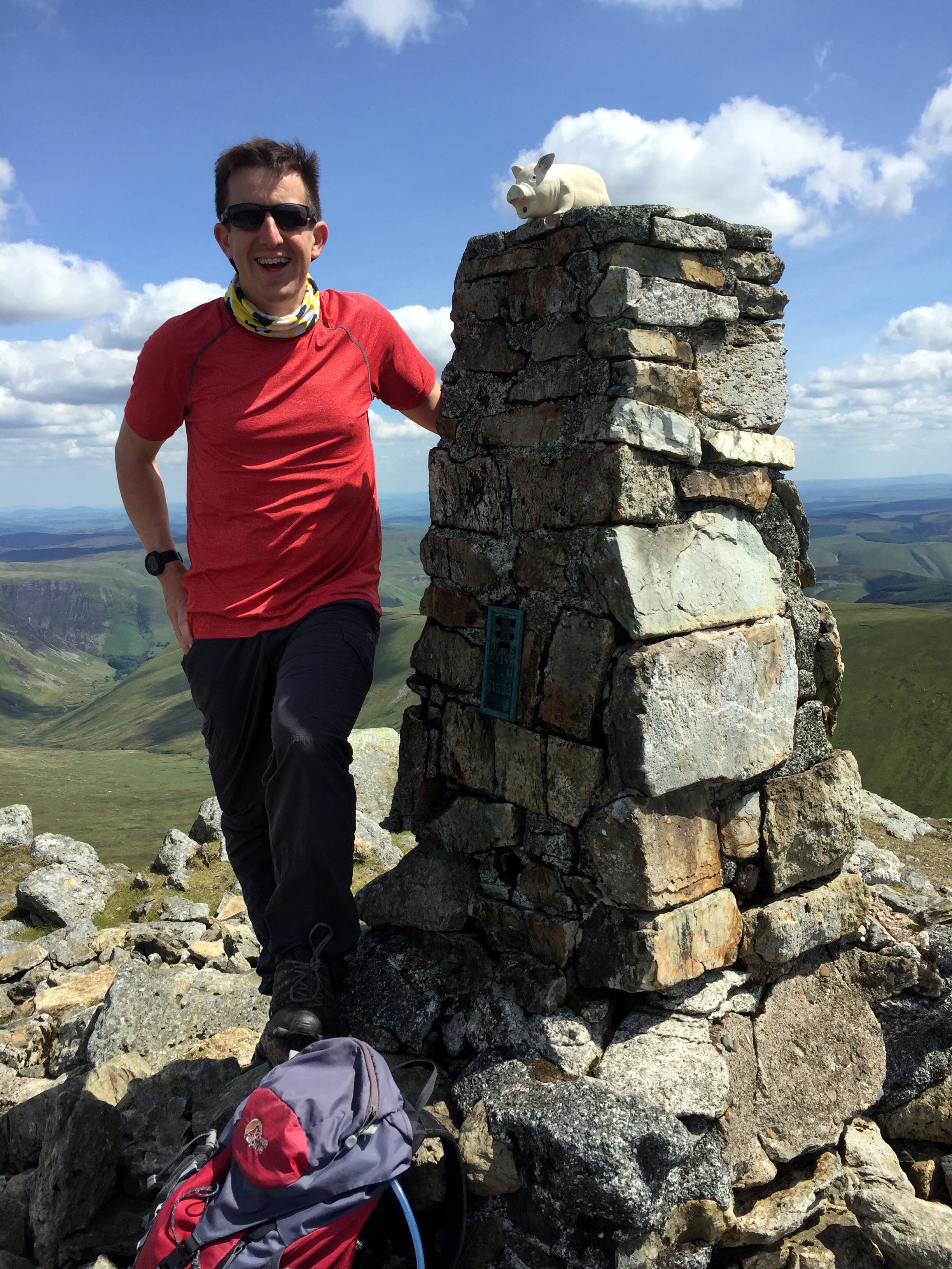
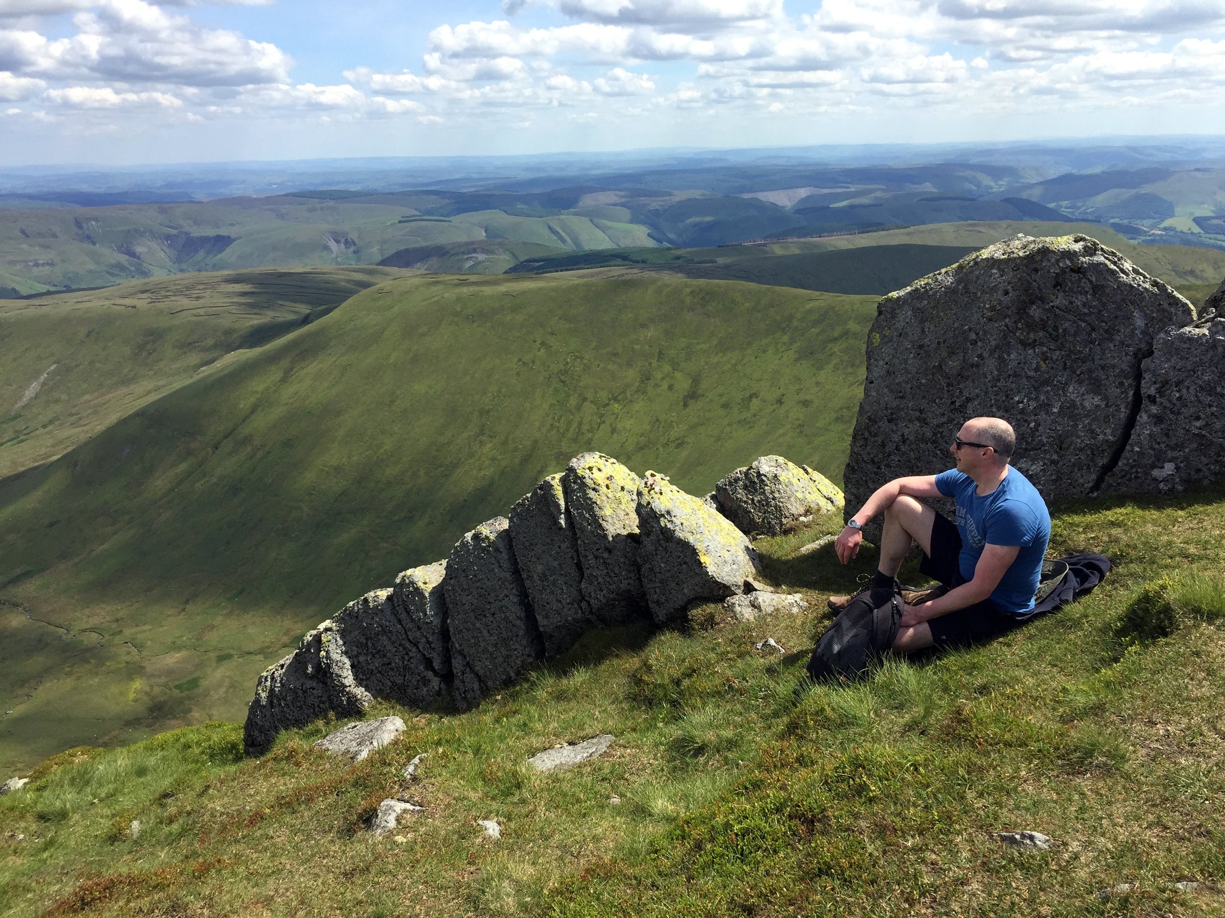
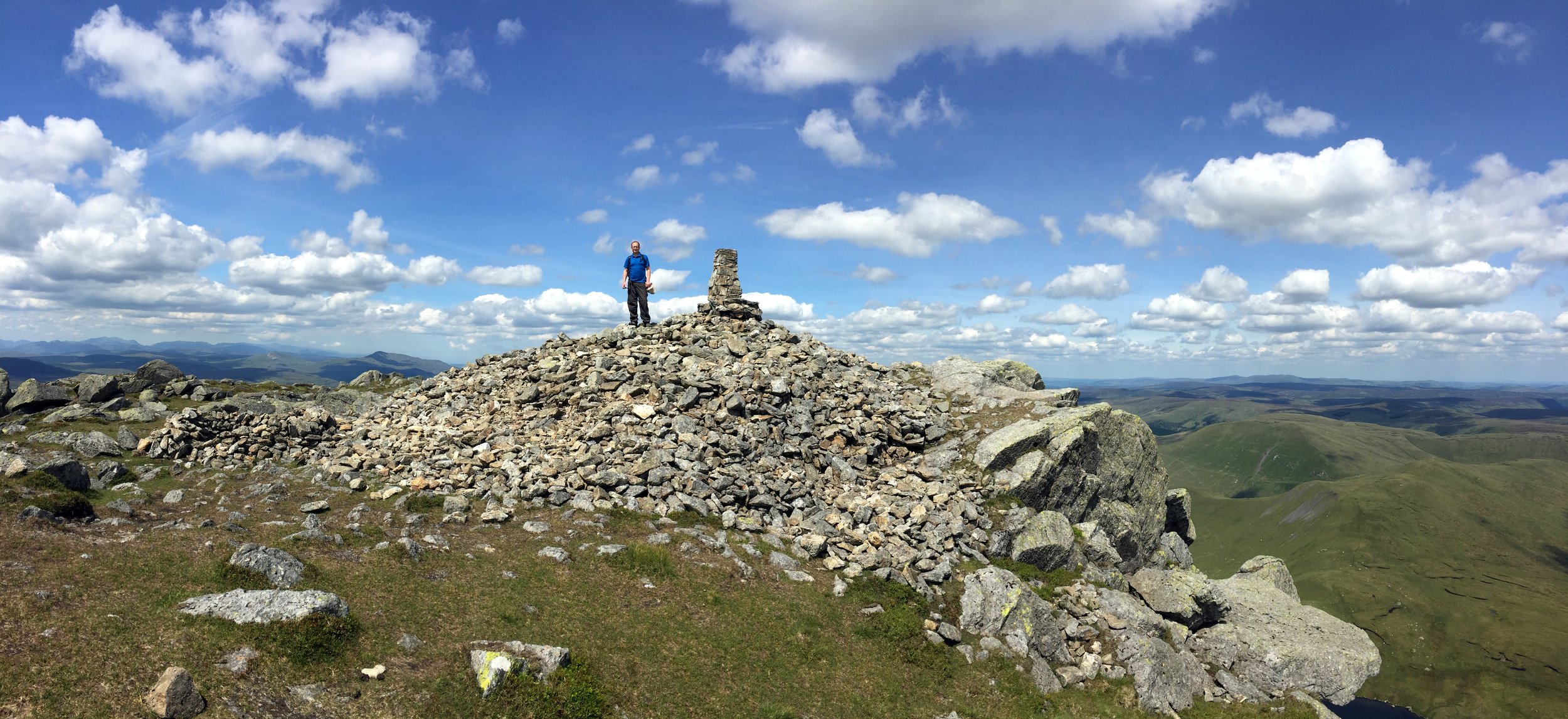
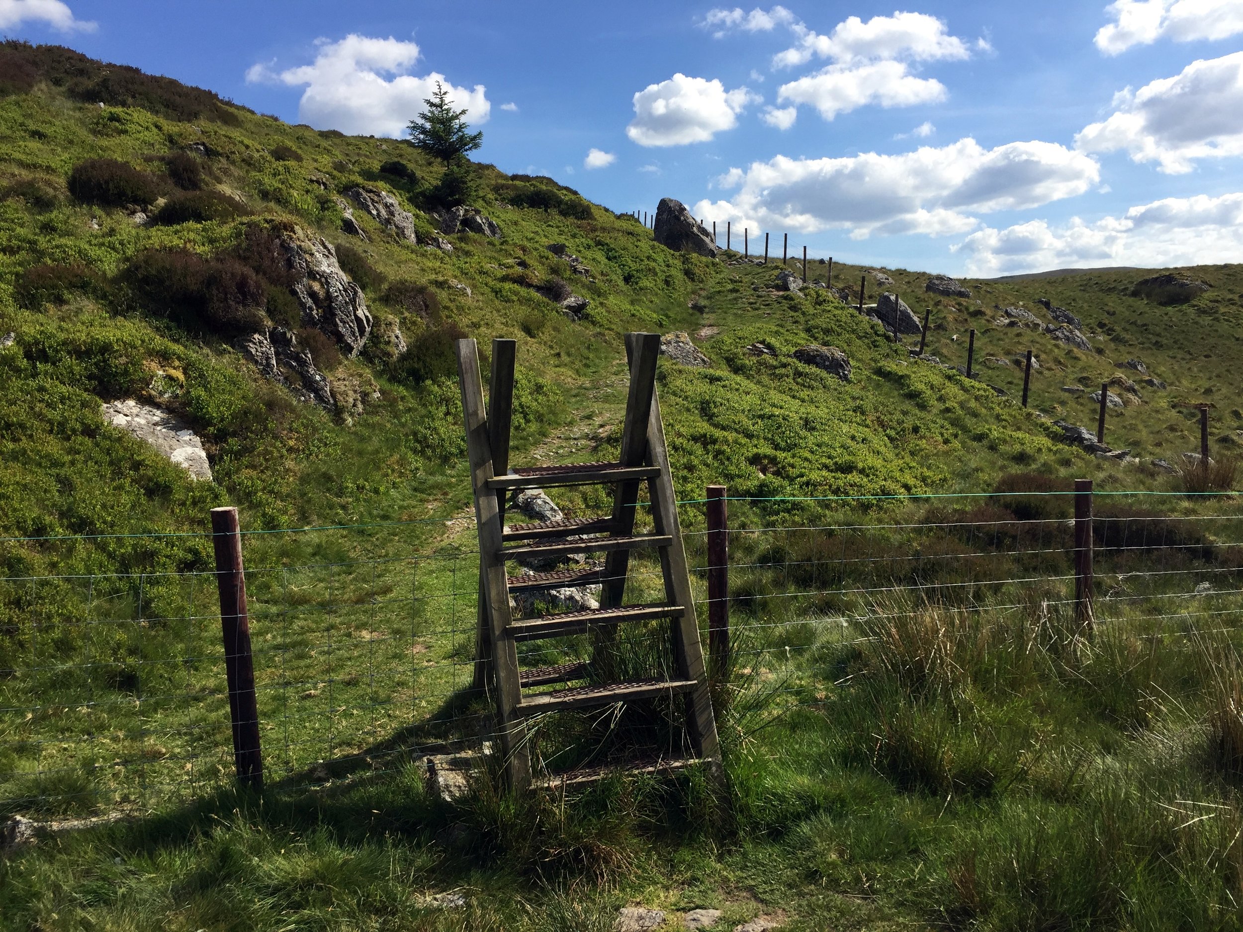
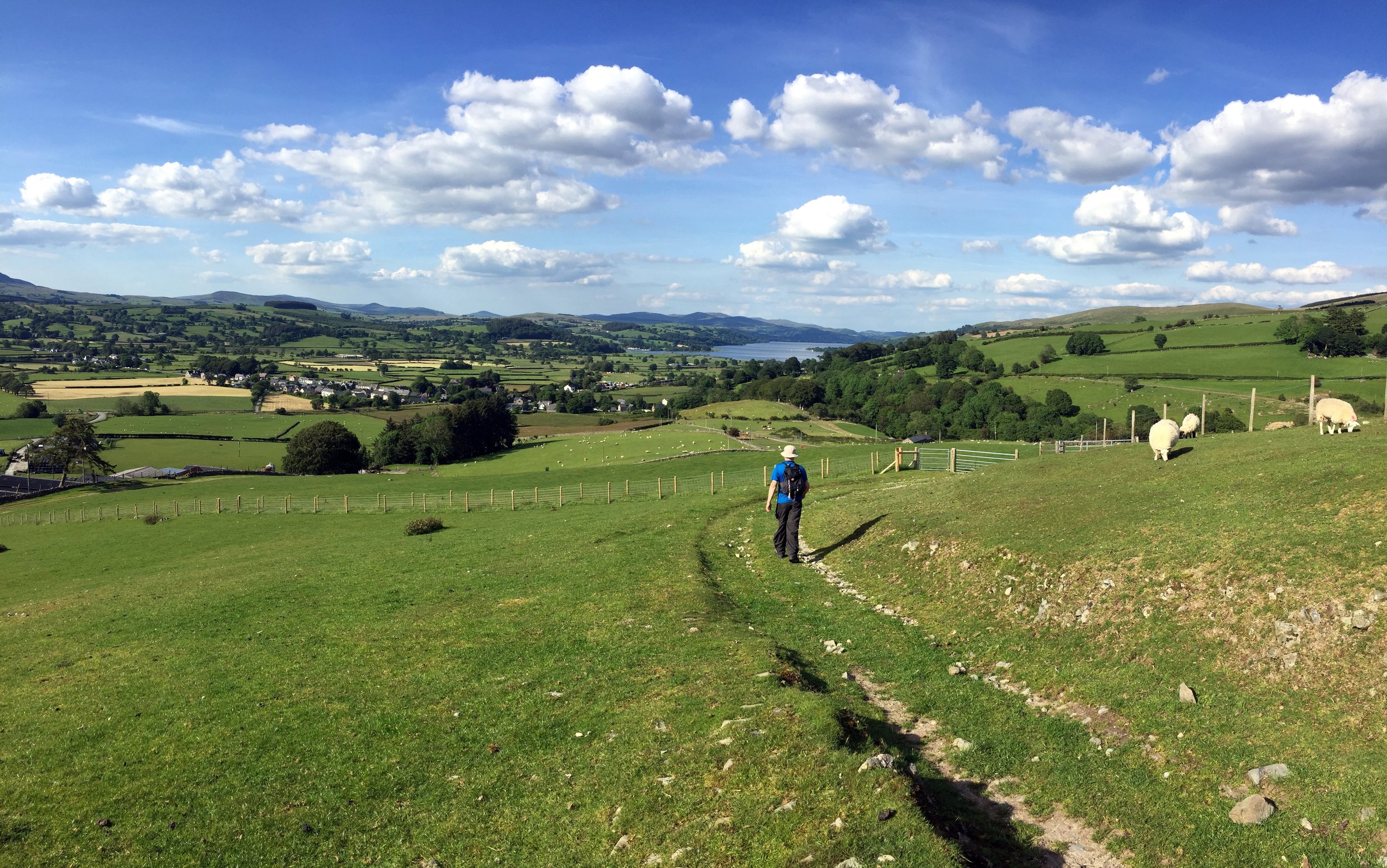
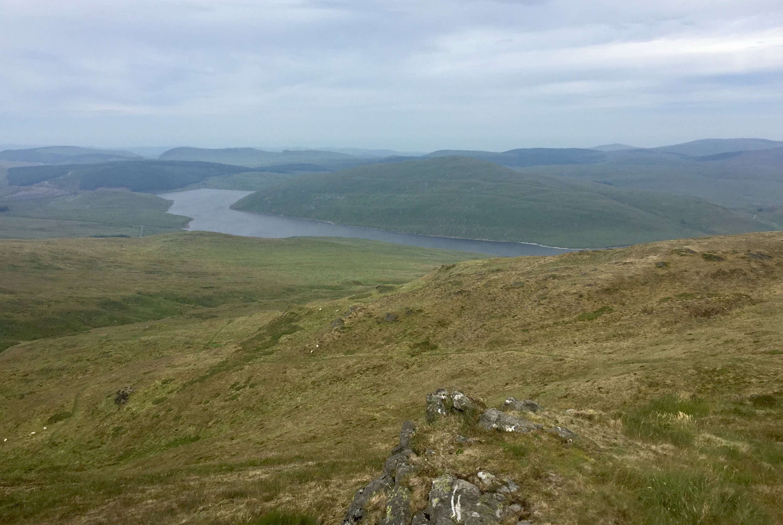
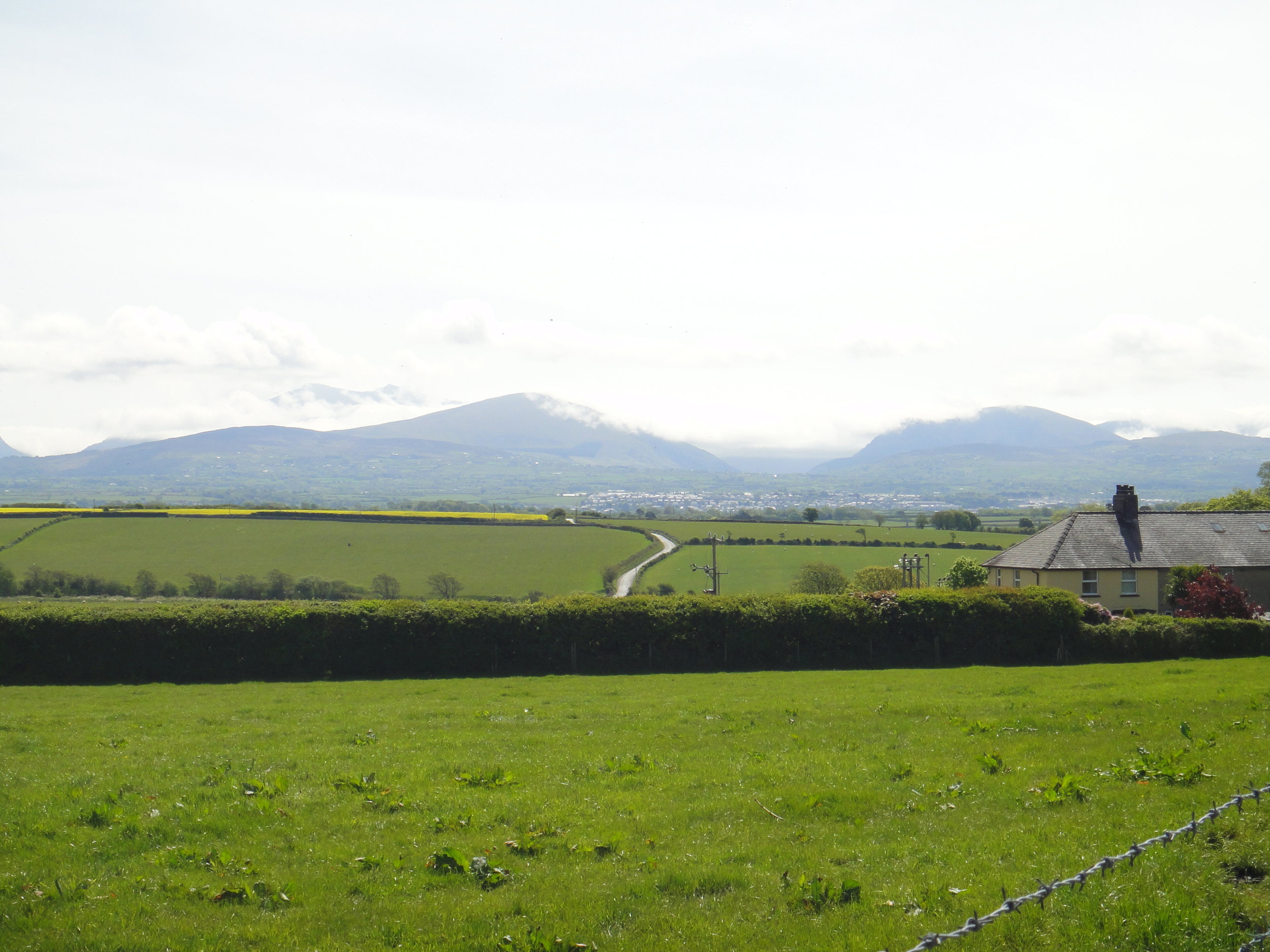
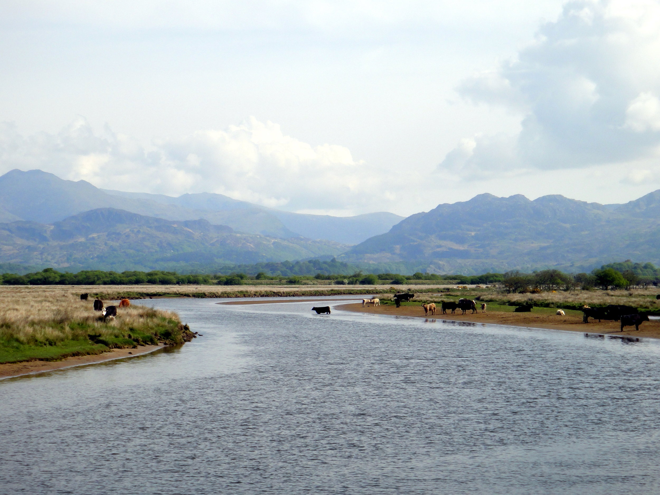
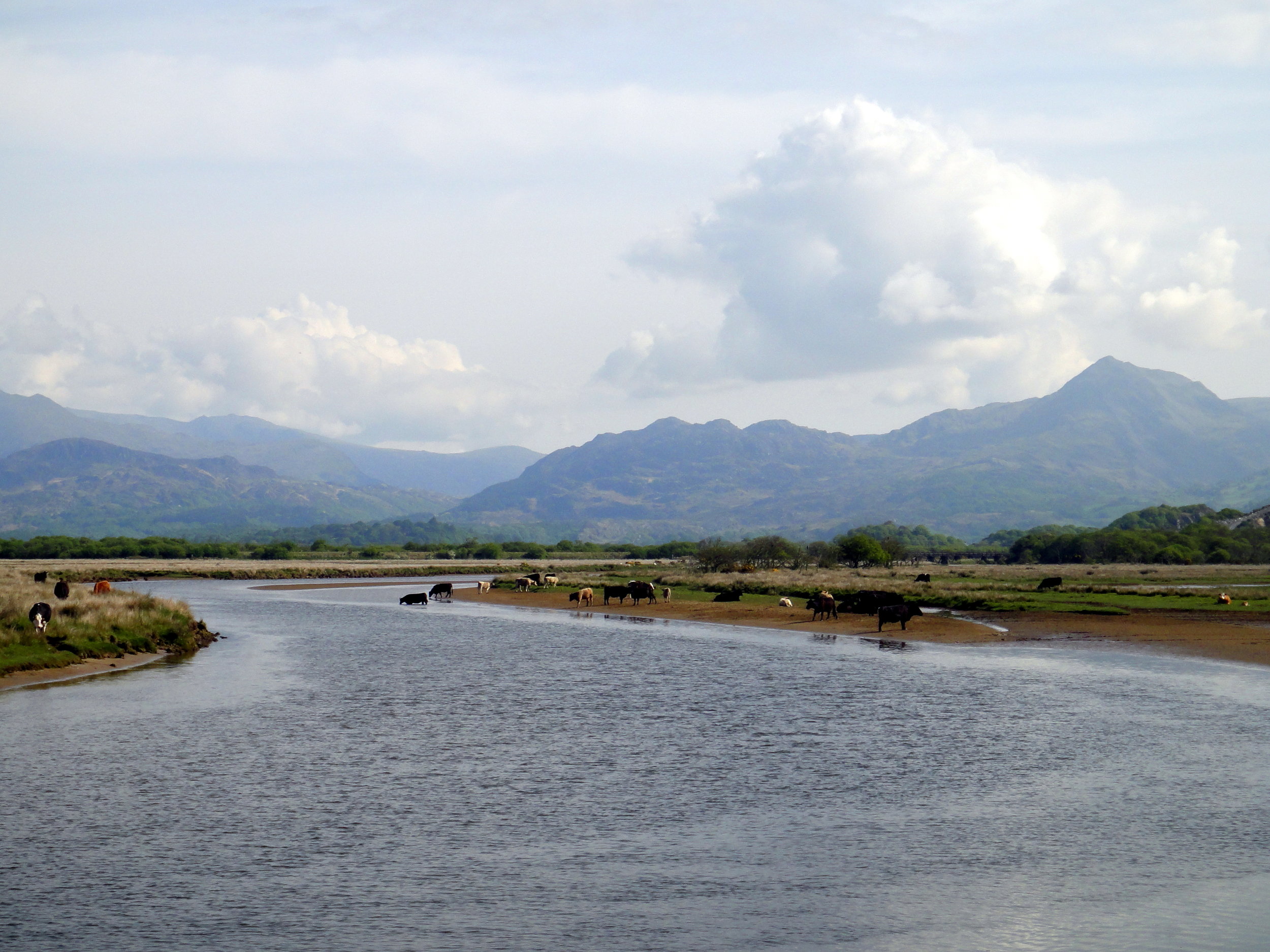
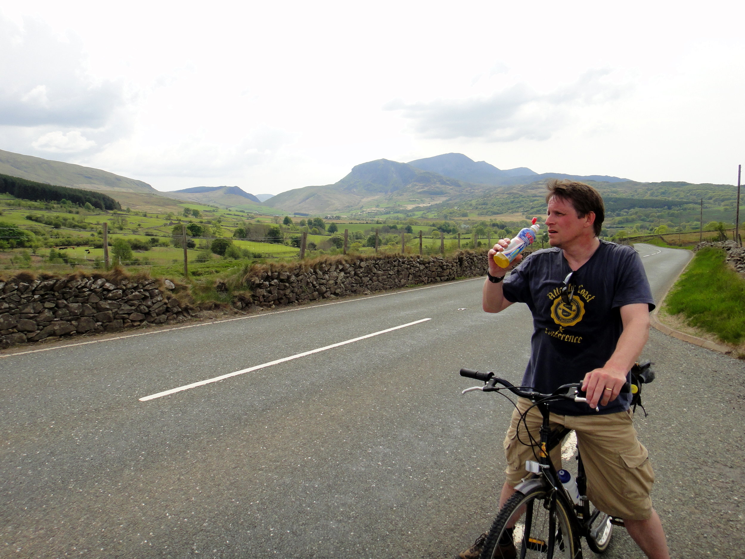
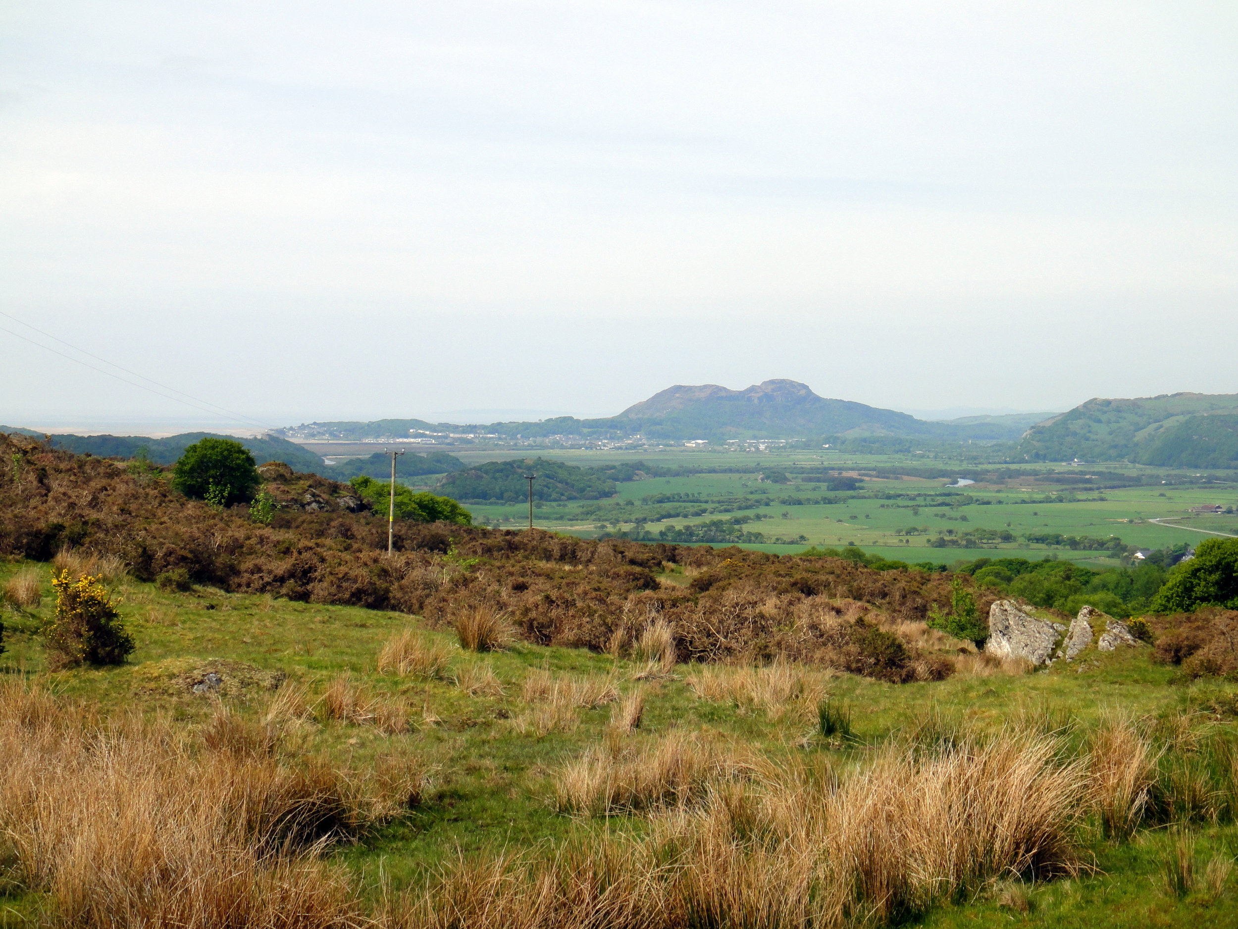
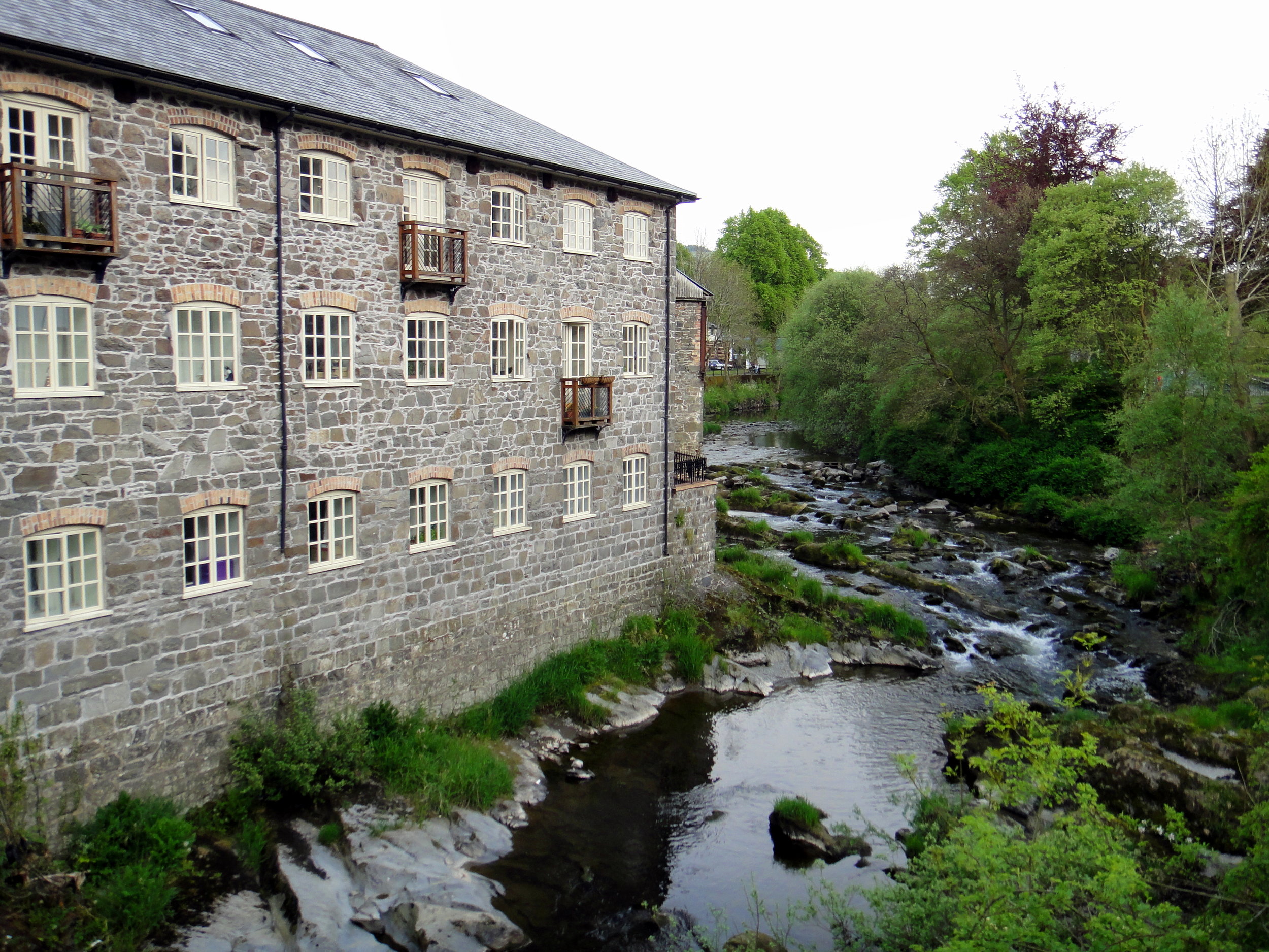
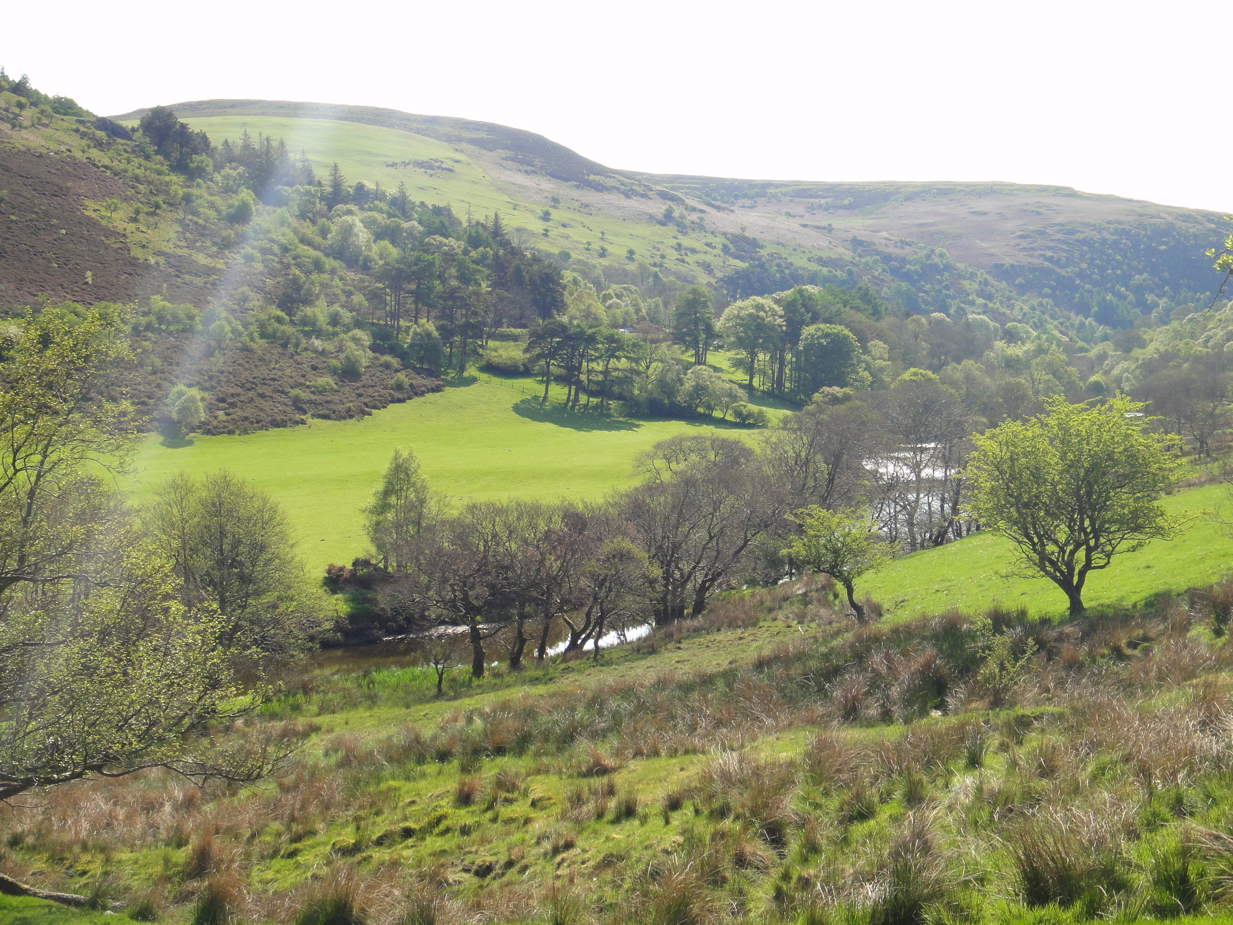
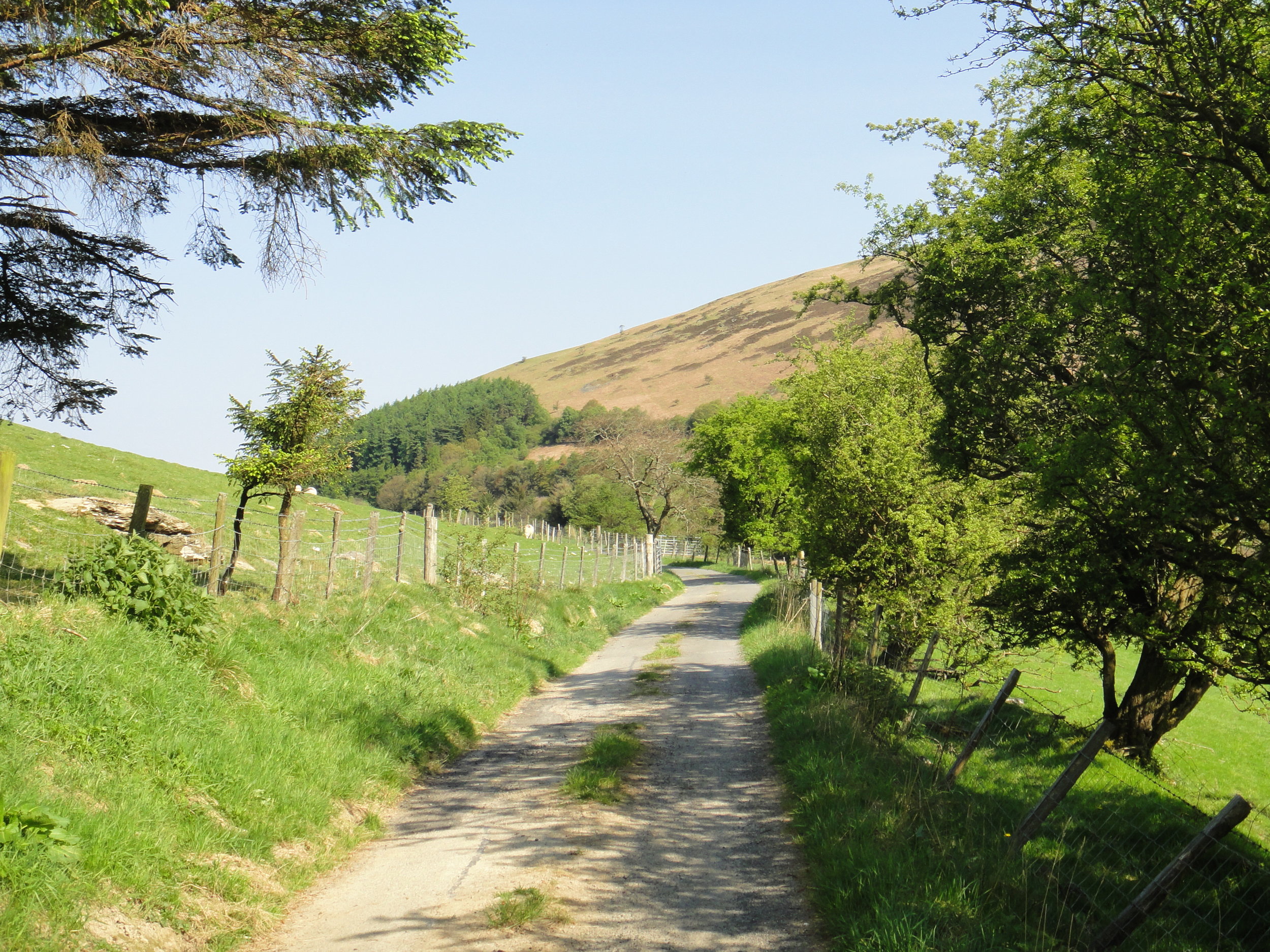
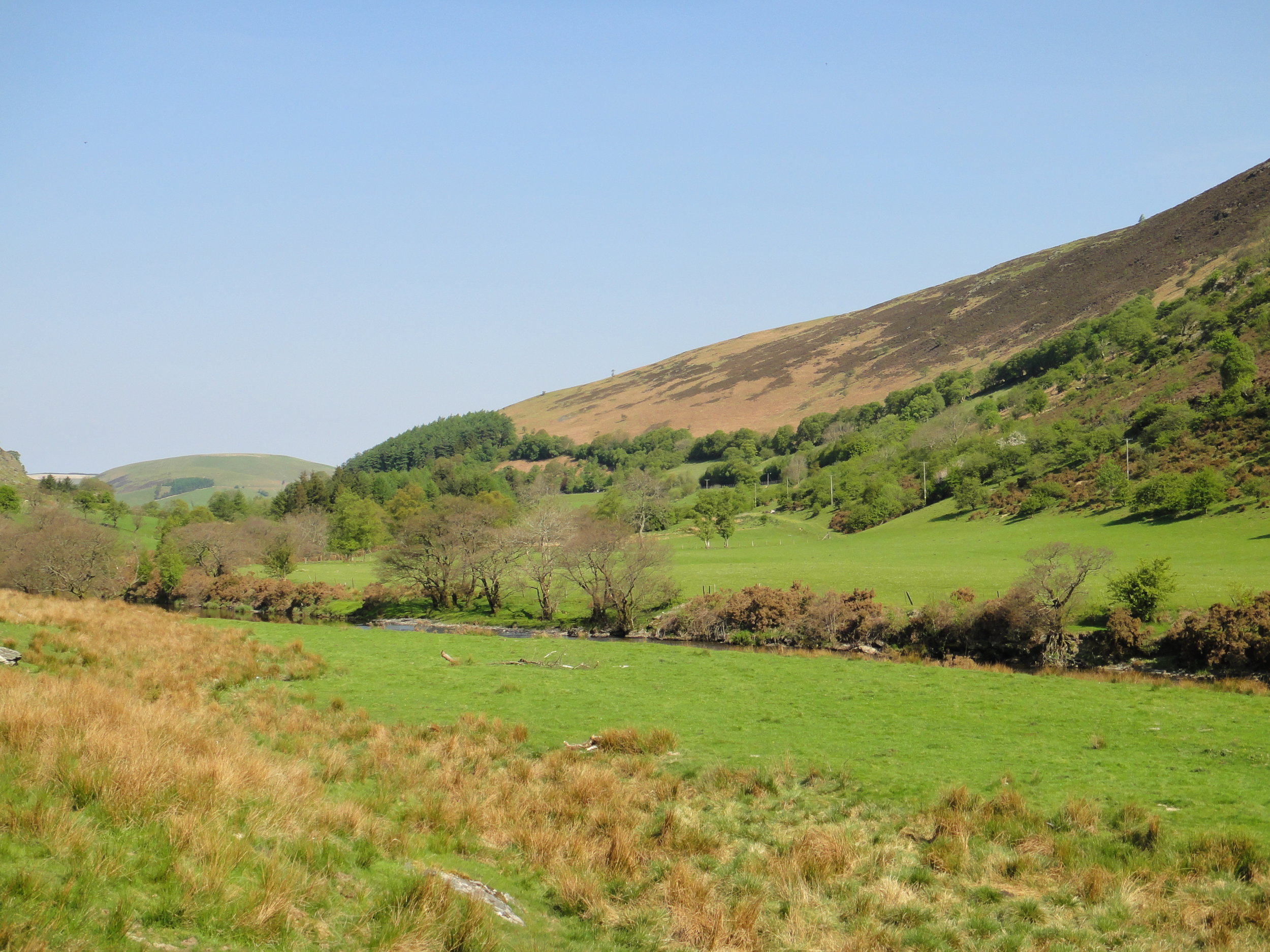
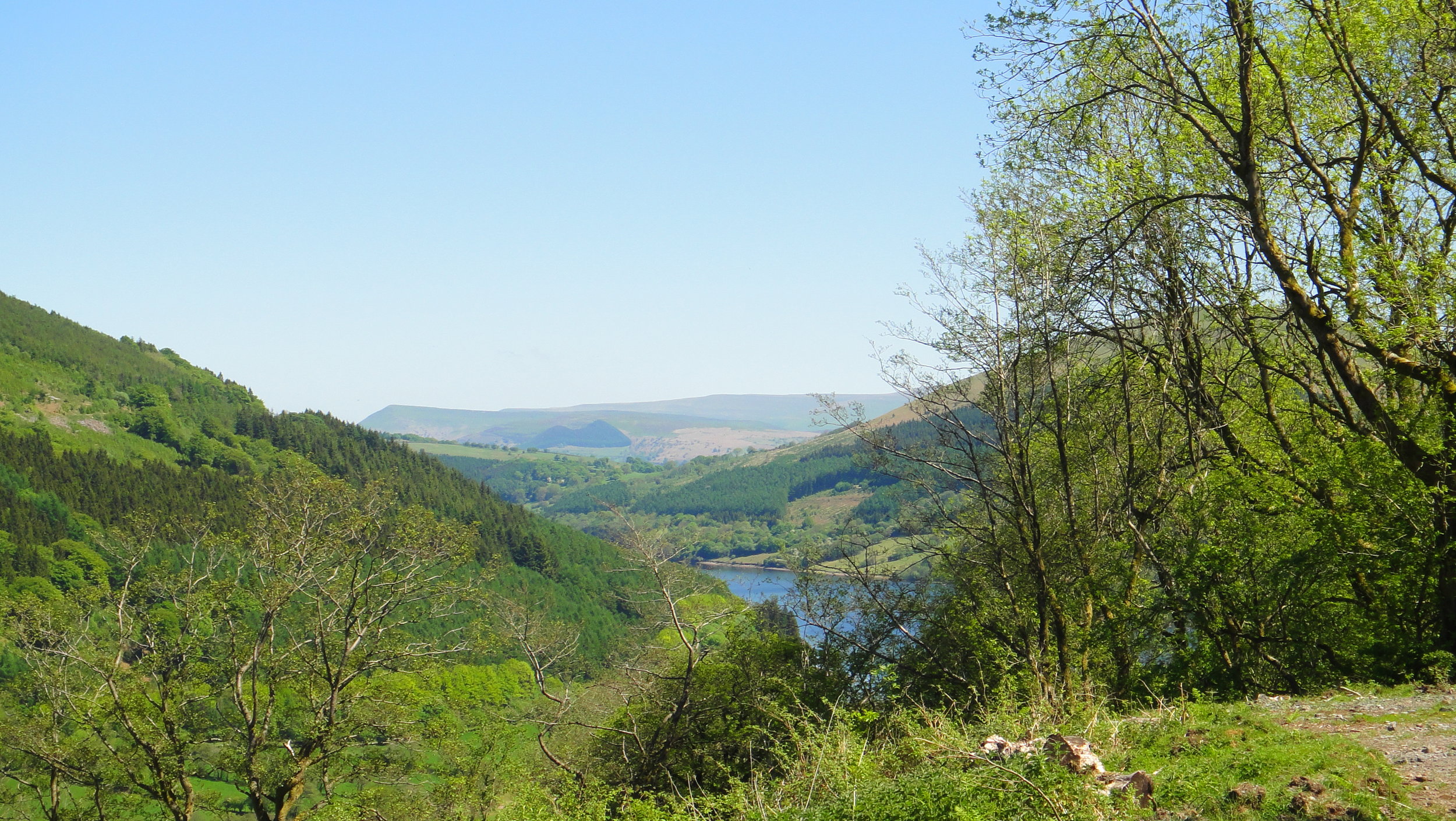
View from Aran Fawddwy
“Remote” and “obscure” are relative terms. If you live in Aberystwyth then Arran Fawddwy, Plynlimon and Foel Cwmcerwyn are all local and accessible peaks. If, like the rest of the us, you don’t then they’re a bugger to get to.
Over my 7 years of County Topping I’d managed to pick off the rest of Wales. Snowdon came first and I’d repeated it several times. The rest of the North was ticked in one trip in 2016, the South in 2014 and all between came on weekend adventures over the years. The final 3 are pretty well spaced out so they could only be done on a road trip rather than a single location adventure. If I’d known earlier that this trip would be such fun I’d have tackled these much earlier.
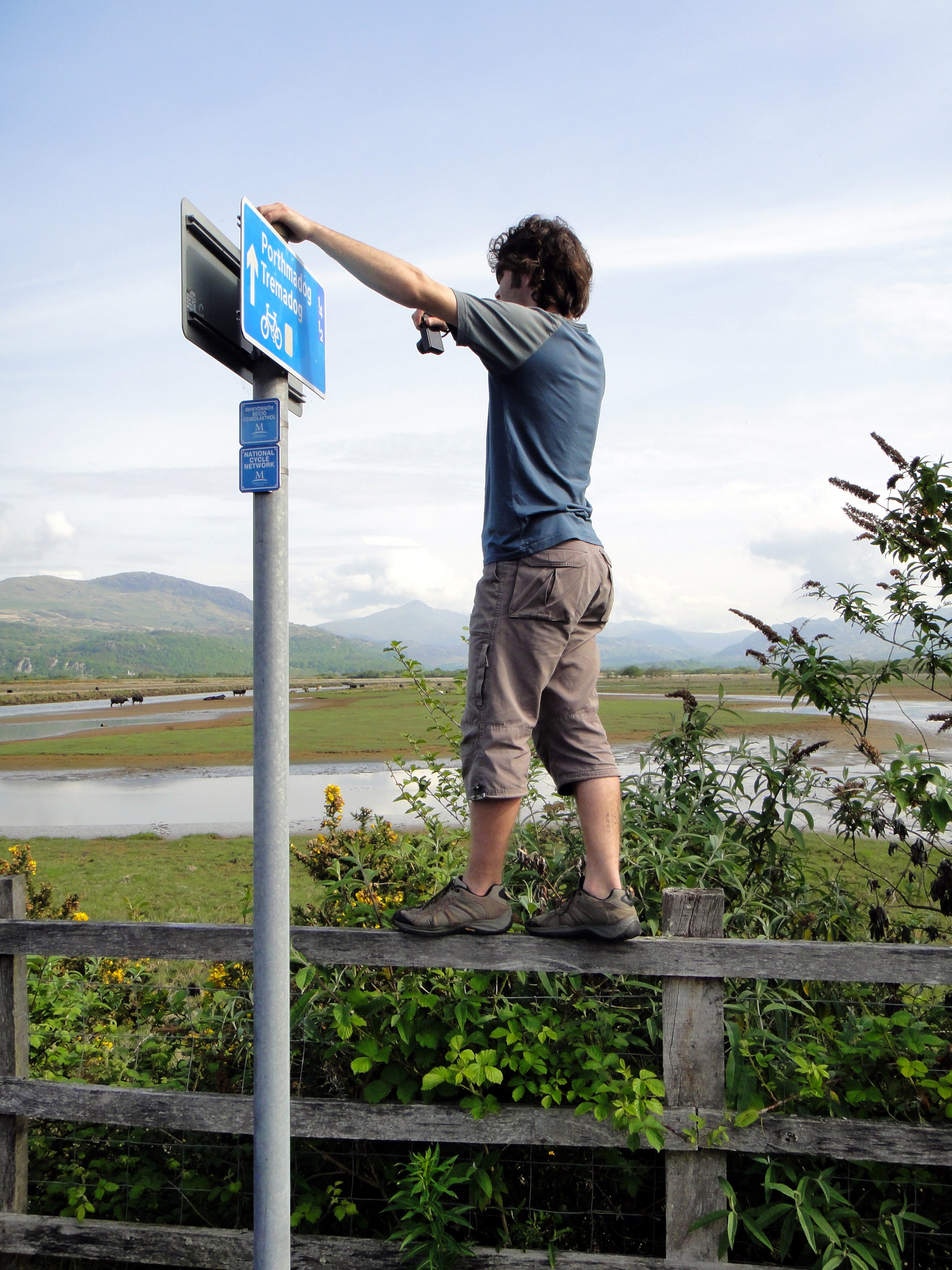
As is mandatory for all weekend trips now, travel happens on a Friday after work. Saturday starts with the nearest parkrun not yet done. This time is was Dolgellau, a beautiful course along the Afon Mawddach river and Madwddach Trail. The National Cycle Network signs along the route reminded me that I’d passed through here before on my NCN8 end to end Wales trip in 2010.
Arran Fawddwy
Significance: Highest peak in Merionethshire (Historic CT)
Member of: Hewitt, Marilyn, Nuttall
Parent Peak: Snowdon. NHN = Peak 931
Elevation: 907m
Date climbed: June 22nd 2019
Coordinates: 52.7880° N, 3.6881° W
Route Start / End: Out and back from Llanuwchllyn, LL23 7TR
Route Distance: 18.2k / (11.3 miles)
Route Elevation Change: +/- 898m
Subsidiary tops on route: Arran Benllyn (885m), Erw y Ddafad-ddu (872m)
GPX File: get via Buy Me a Coffee
Other routes touched: None
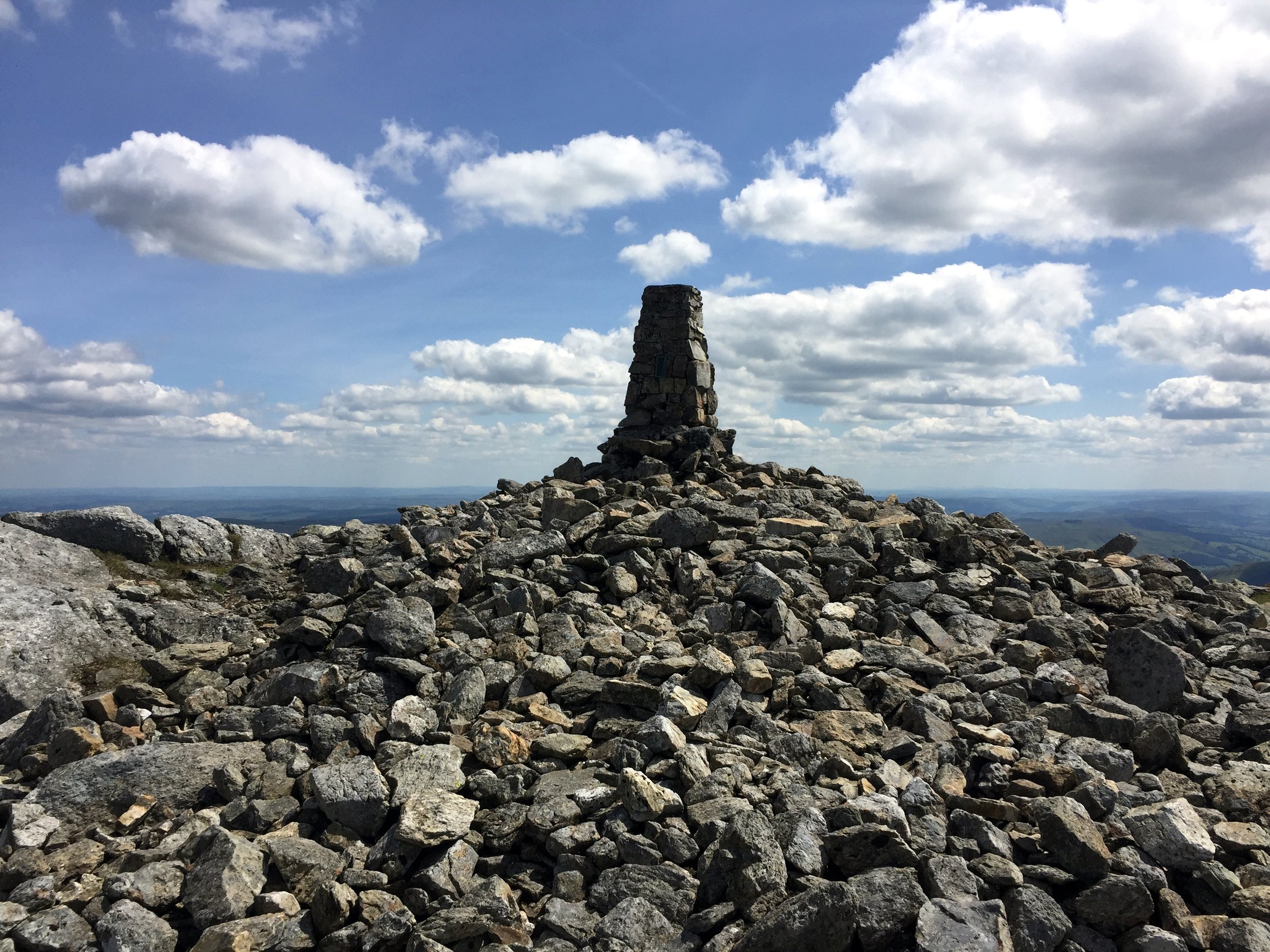
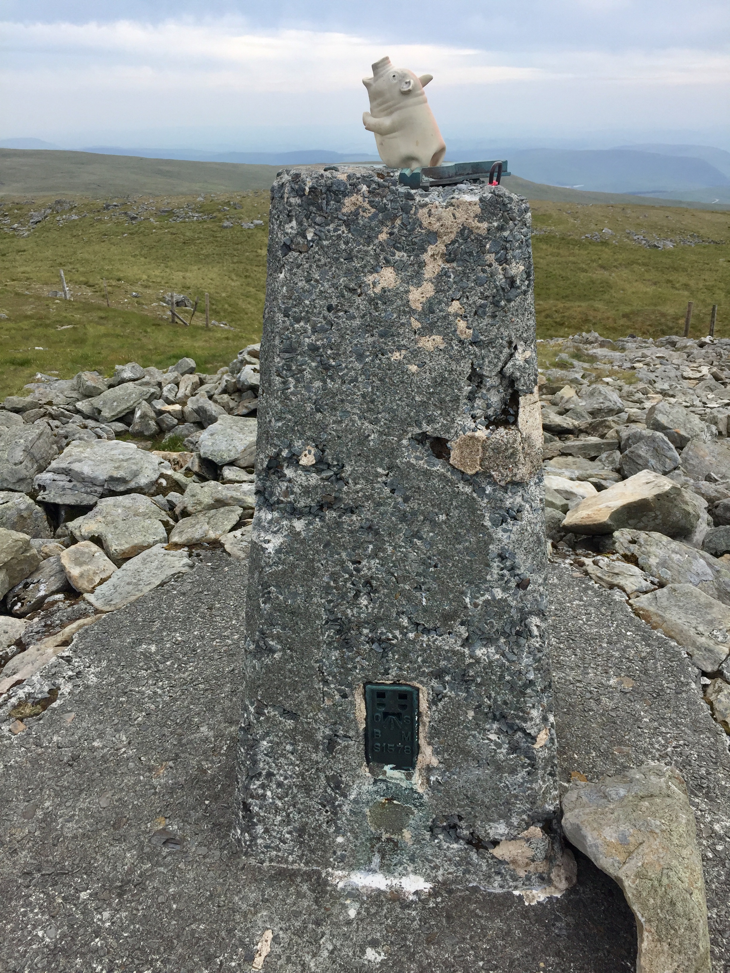
OS Trig Pillar: TP0865 - Aran Fawddwy
Map: OS Explorer Map OL23 Cadair Idris & Llyn Tegid
Guidebook: The UK's County Tops (Jonny Muir)
Links: Wikipedia (Merionethshire), Wikipedia (Aran Fawddwy), Peakbagger
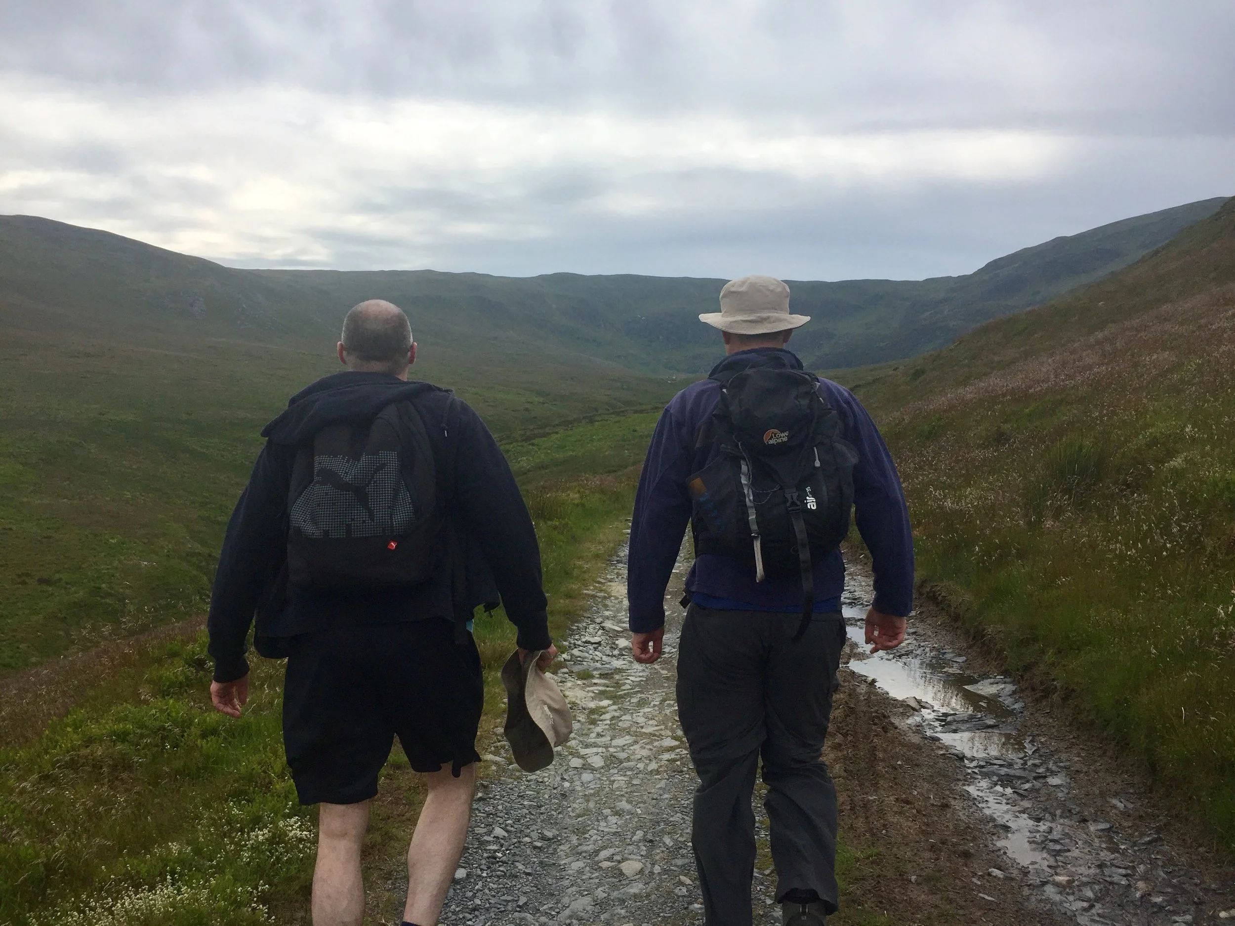
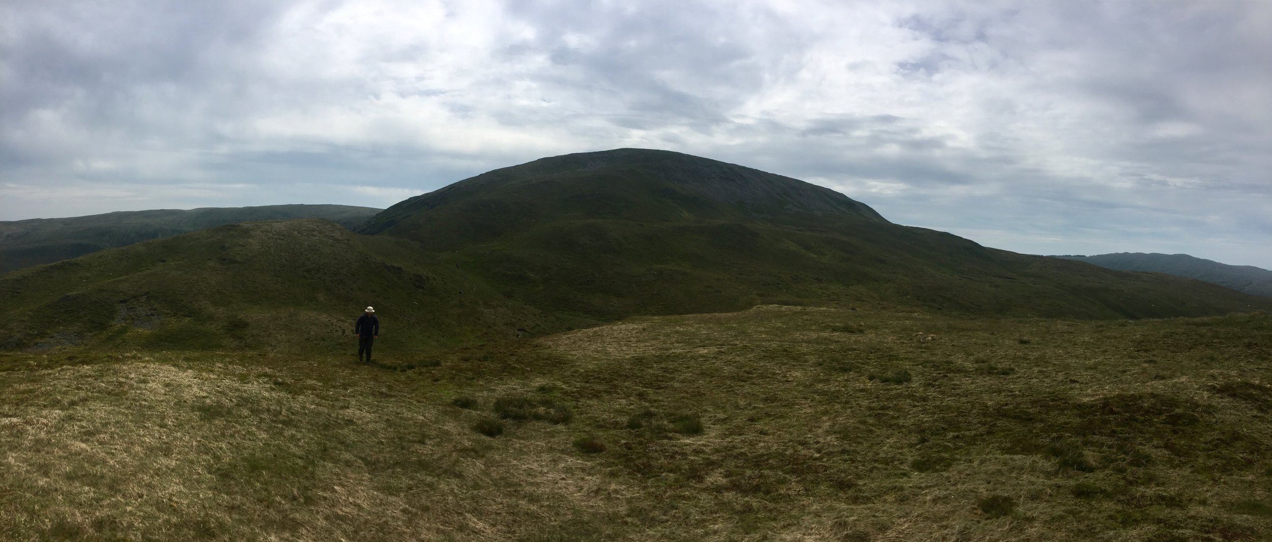
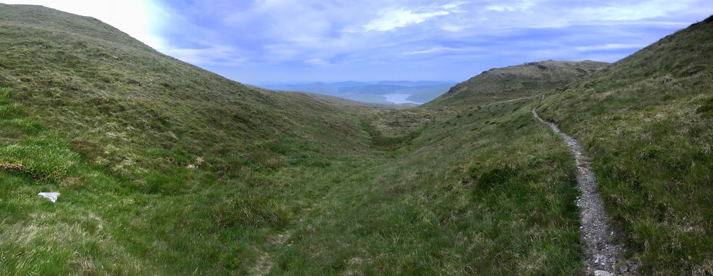
Llanuwchllyn, our start point for the Arran Fawddwy, walk was only 20 minutes from Dolgellau so we were on the trail by 11:00. We were lucky with the weather and had a the most amazing sunny day with clear skies and view for miles. The 360° view from the summit was a rare prize amongst so many cloudy summit days in my Welsh trekking experience.
Arran Fawddwy is a long but easy trek with only a small bit of scrambling in the last 20 minutes. It’s quiet up there too. At 2976 feet it narrowly misses out on being in the Welsh 3000s and the nearby Cadair Idris gets much more attention. If it wasn’t for it being a County Top I’d likely never have gone there either. That would have been a shame as this was one of my most enjoyable UK hikes in several years.
Once off the mountain we drove an hour South to the YHA at Borth. I didn’t know what to expect when I booked this one. My friend who was in charge of accommodation booking had made such an arse of it, I had to take over with only a month to go. This one was booked on the only criteria that it was near Plynlimon and still available.
As it turned out, Borth was a hidden gem. It’s an old Seaside resort that missed the memo about the need to become cheap and tacky. Our room in the YHA was spacious and had a sea view. Dinner in the seafront Victoria Inn and a beach walk back topped off a perfect adventure day in Wales.
Plynlimon
Also known as: Pumlumon Fawr
Significance: Highest peak in Cardiganshire (Historic CT), High Point of the Preserved County of Dyfed and the Principal area of Ceredigion
Member of: Hewitt, Marilyn, Nuttall
Parent Peak: Pen Y Fan. NHN = Craig Cwm Amarch
Elevation: 752m
Date climbed: June 23rd 2019
Coordinates: 52.4675°N 3.7828°W
Route Start / End: Out and back from parking place on Nant-y-Moch eastern road plus a loop of Pumlumon Fach
Route Distance: 7.7 km (4.8 miles)
Route Elevation Change: +/- 400m
Subsidiary tops on route: Pumlumon Fach (664m)
GPX File: get via Buy Me a Coffee
Other routes touched: none
OS Trig Pillar: TP5480 - Plynlimon
Map: OS Explorer Map (213) Aberystwyth and Cwm Rheidol for Plynlimon
Guidebook: The UK's County Tops (Jonny Muir)
Links: Wikipedia (Cardiganshire), Wikipedia (Plynlimon), Peakbagger
Plynlimon is just a few miles as the crow flies from Borth. We were driving though so it took a winding 45 minute trip so many hairpin bends and a route around the Nant-y-Moch reservoir.
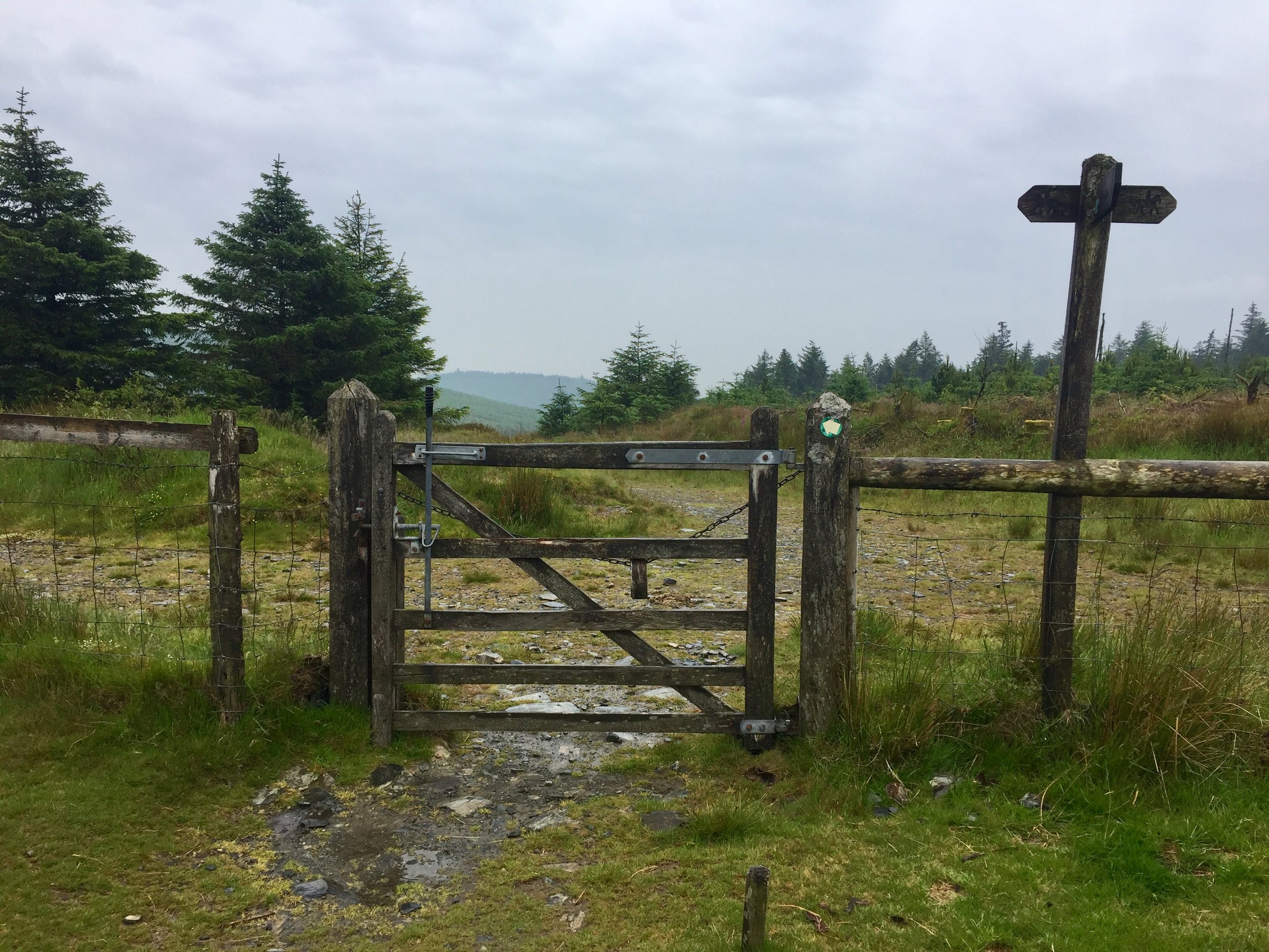
The start of the trail is a small parking spot on the Maesnant road where it meets a farm track. There's 2 options from here: an out and back following the Maesnant stream or a circuit of the Pumlumon Fach. As we were following Jonny Muir's guide an wanted a more interesting route. We opted for the circular plus a couple of detours to bag the summits of Pumlumon Fach and an unnamed peak nearby.
Plynlimon was a much shorter trek than yesterday's Arran Fawddwy trip so we were back down by lunchtime and quickly on the road towards Newport YHA. Even with a short stop to bag a bonus Trig Pillar near Cardigan we arrived at the YHA by 15:00. I'd not read the check-in instructions so didn't realise that we were 2 hours too early. We could get a whole other mountain bagged in that time.
Foel Cwmcerwyn
Significance: Highest peak in Pembrokeshire (Historic County and Welsh Principal Area), Pembrokeshire Coast National Park High Point
Member of: Marilyn
Parent Peak: Plynlimon. NHN = Garreg Lwyd
Elevation: 536m
Date climbed: June 23rd 2019
Coordinates: 51°56′44″N 4°46′29″W
Route Start / End: Out and back from parking place on B4329
Route Distance: 6 km (3.7 miles)
Route Elevation Change: +/- 135m
Subsidiary tops on route: None
GPX File: get via Buy Me a Coffee
Other routes touched: None
OS Trig Pillar: TP5522 - Prescelly
Map: Ordnance Survey Explorer OL35 North Pembrokeshire
Guidebook: The UK's County Tops (Jonny Muir)
Links: Wikipedia (Pembrokeshire), Wikipedia (Foel Cwmcerwyn), Peakbagger
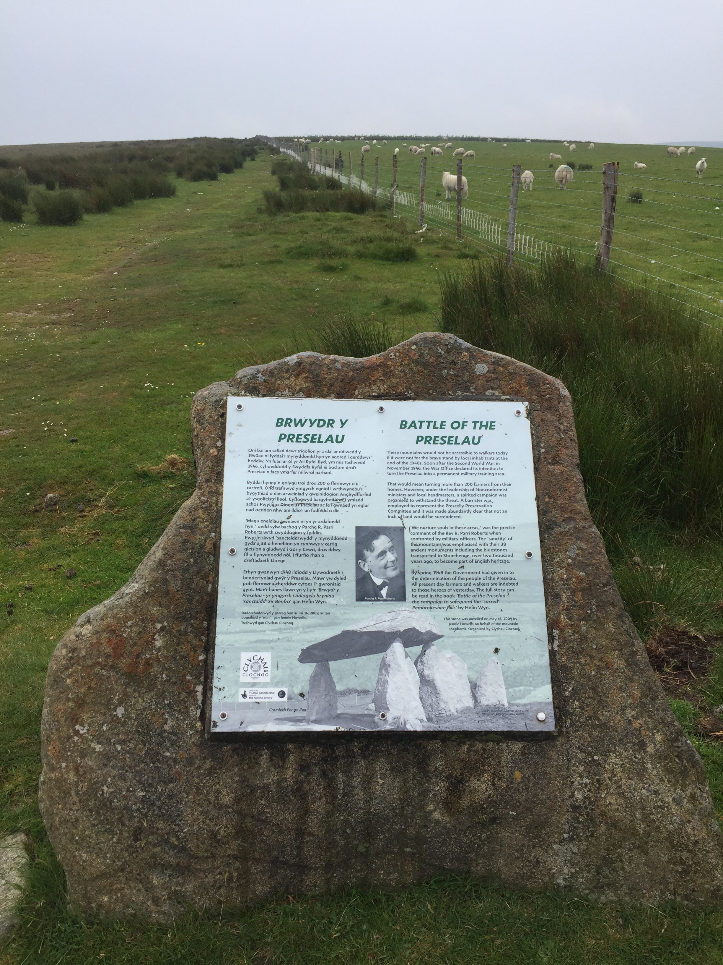
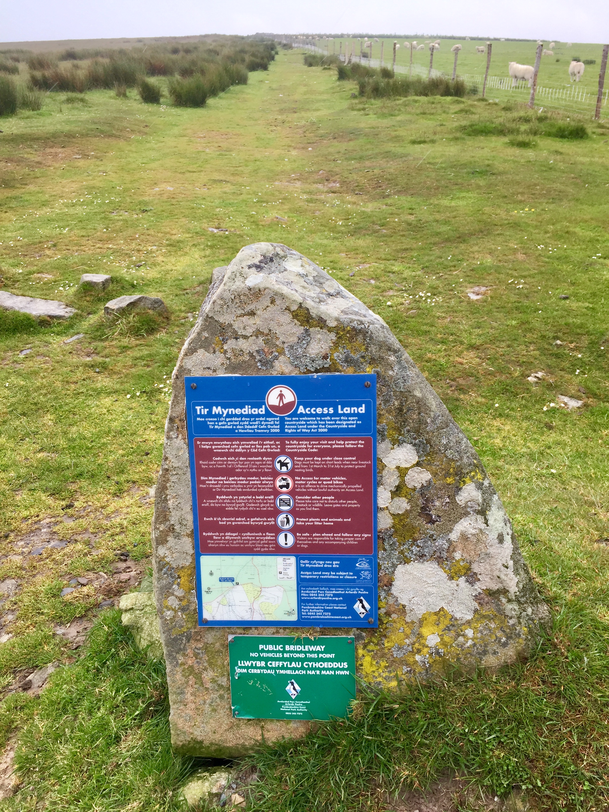
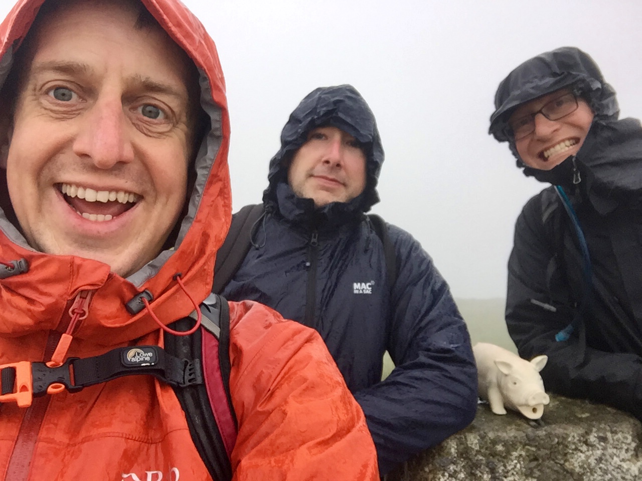
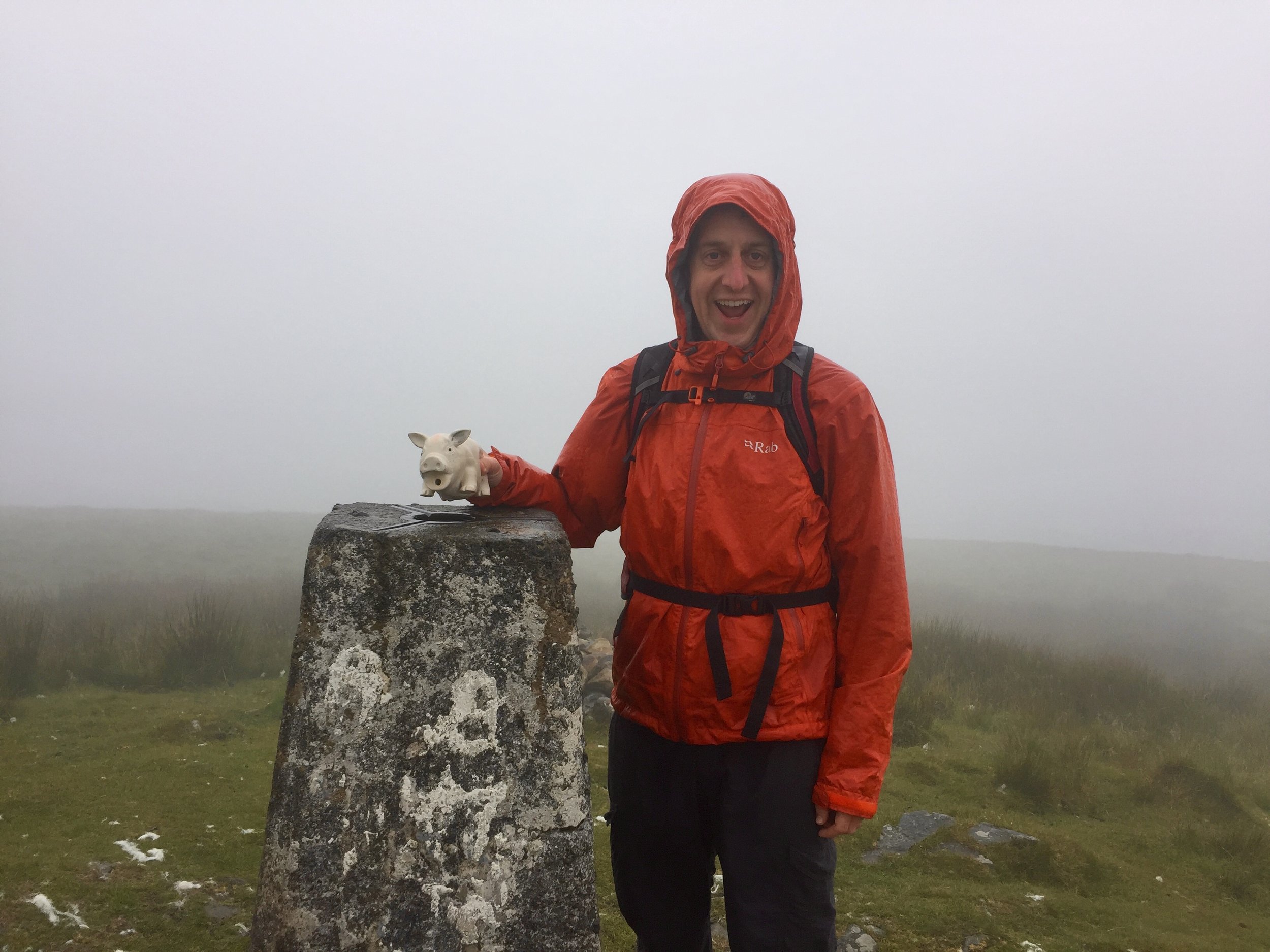
By the time wed reached the parking spot for Foel Cwmcerwyn it was proper rainy. The summit was apparently not far away but we couldn't see anything. Sticking to the GPS route and a straightforward path we arrived at the Trig Point in under and hour. The completion of the Welsh County Tops was a bit of an anticlimax in a damp field with views stretching across the nearest 15 metres.


