The Historic County Tops of Northern Ireland
Slieve Donard. County Down. 850 metres.
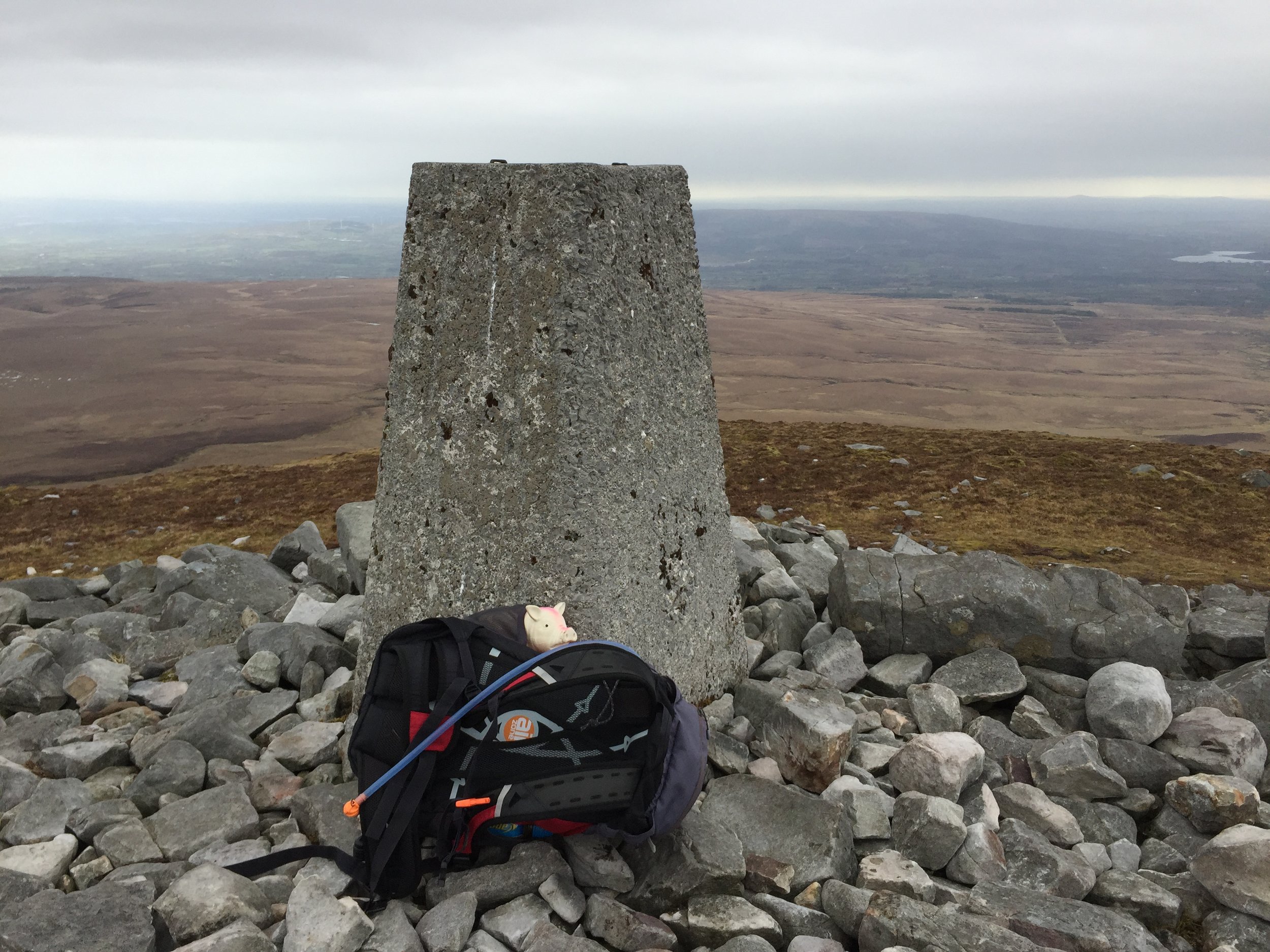
Sawel Mountain. County Londonderry and County Tyrone. 678 metres. Completed
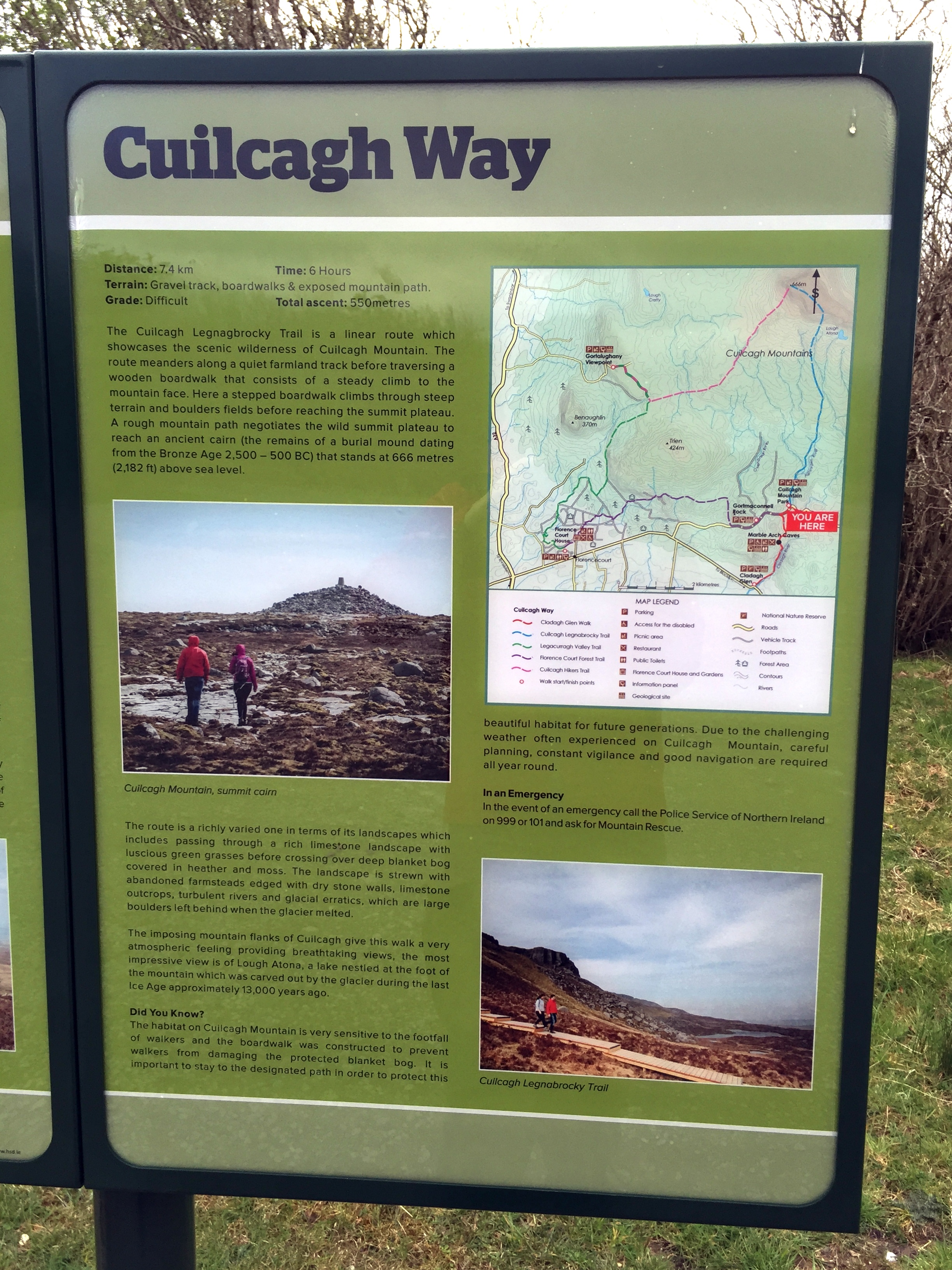
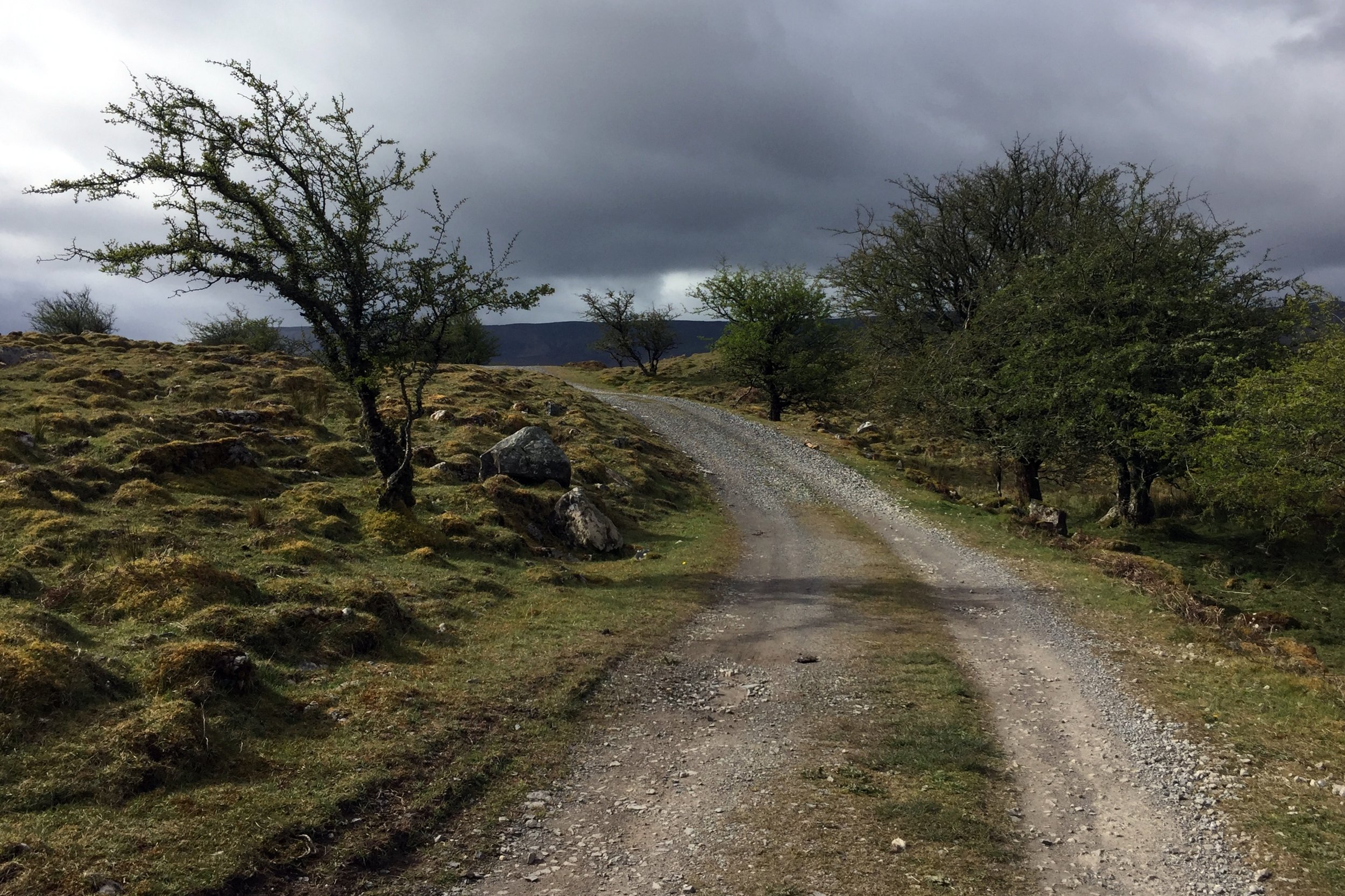
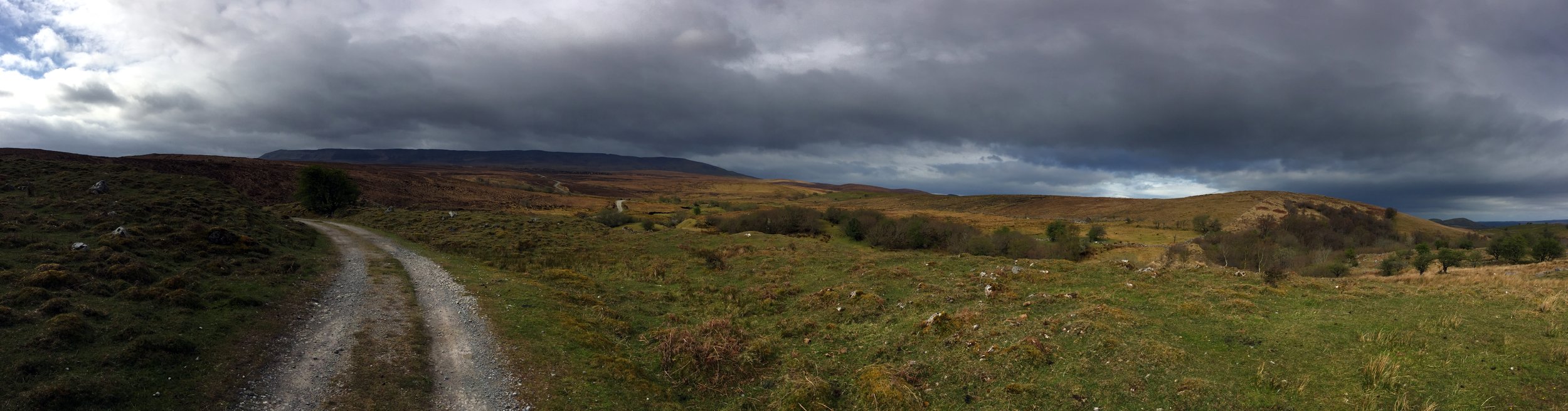
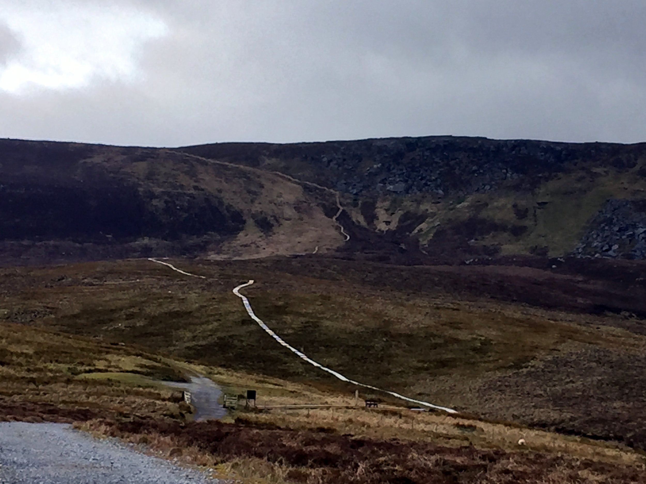
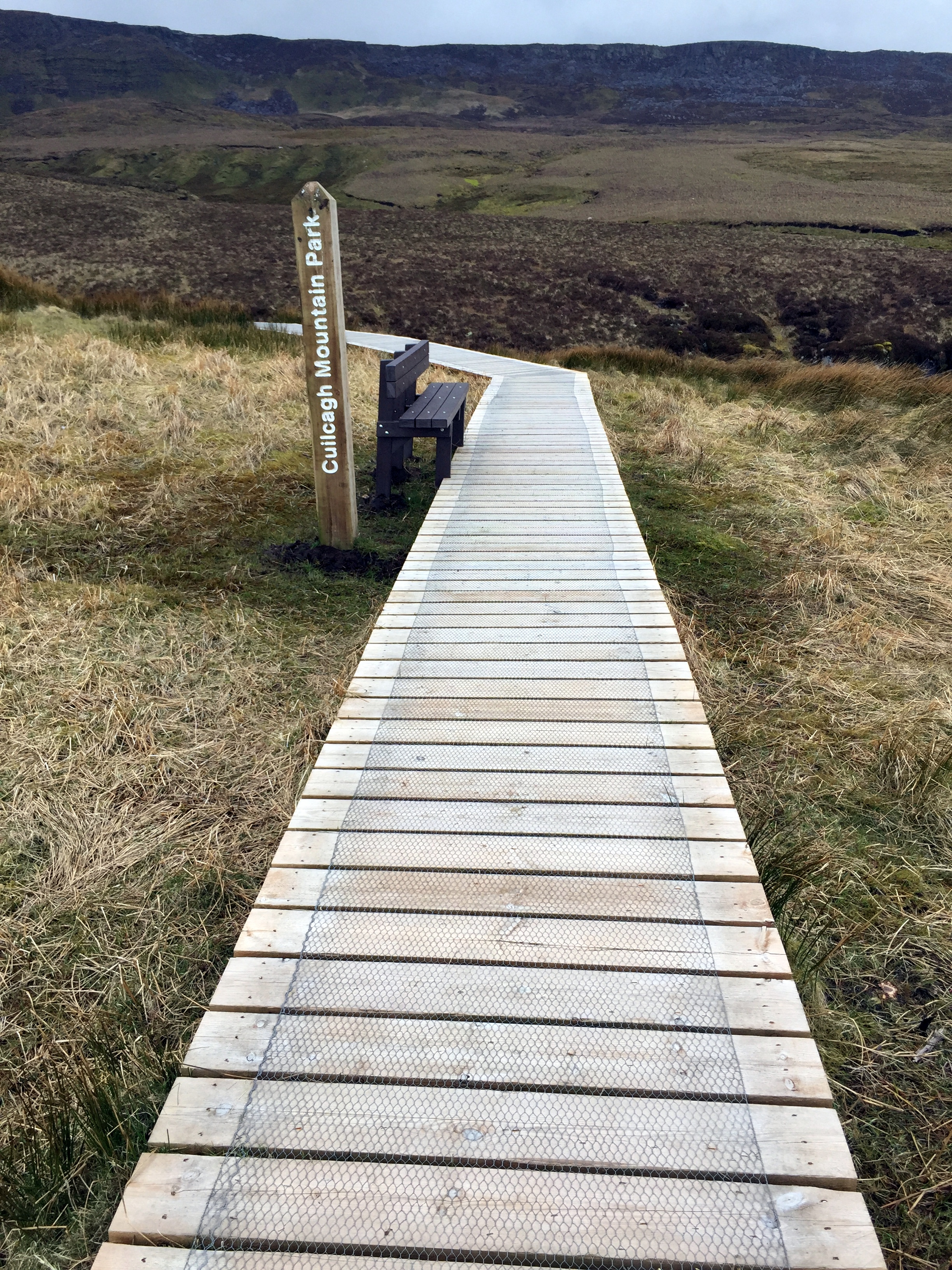
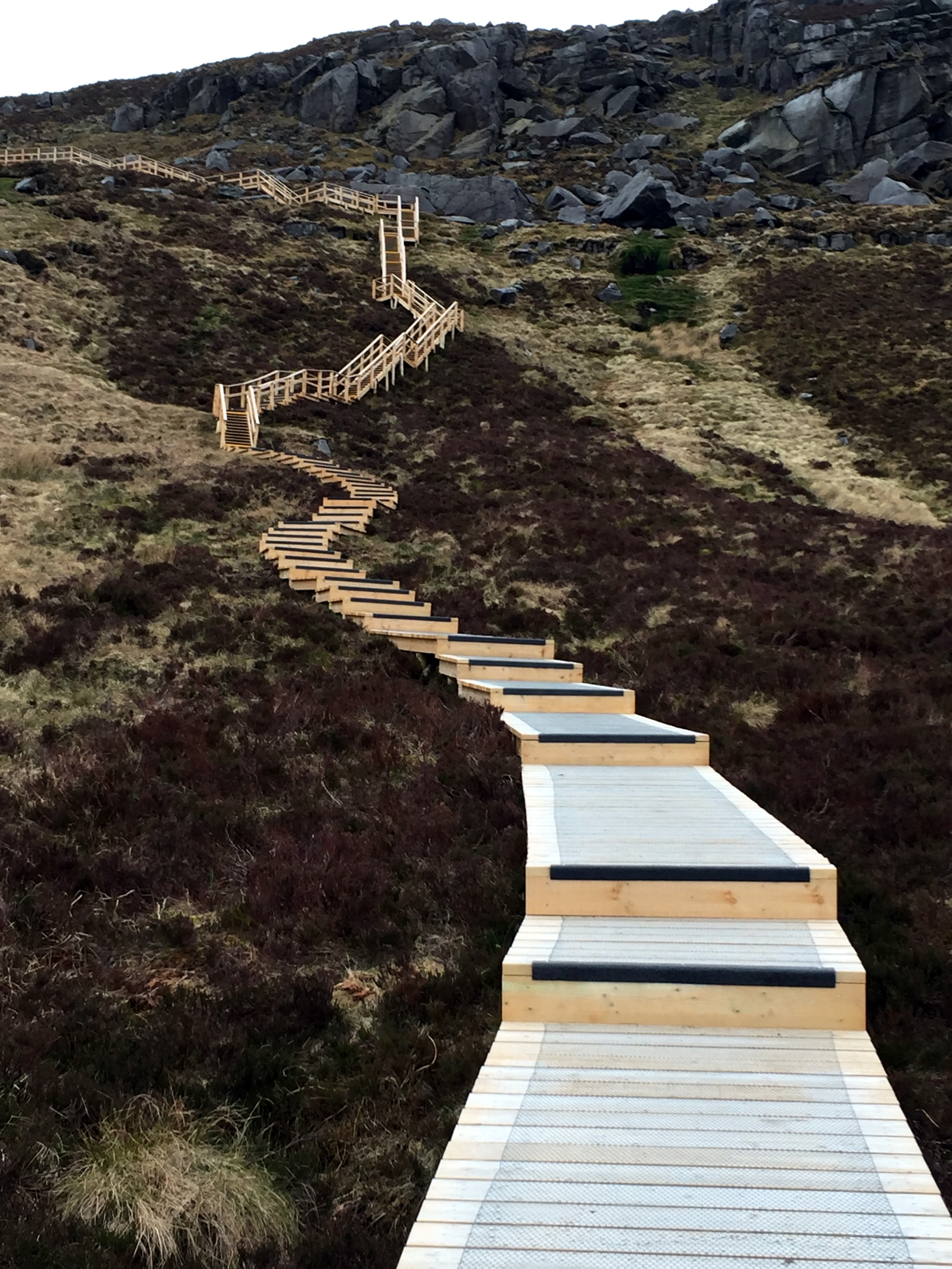
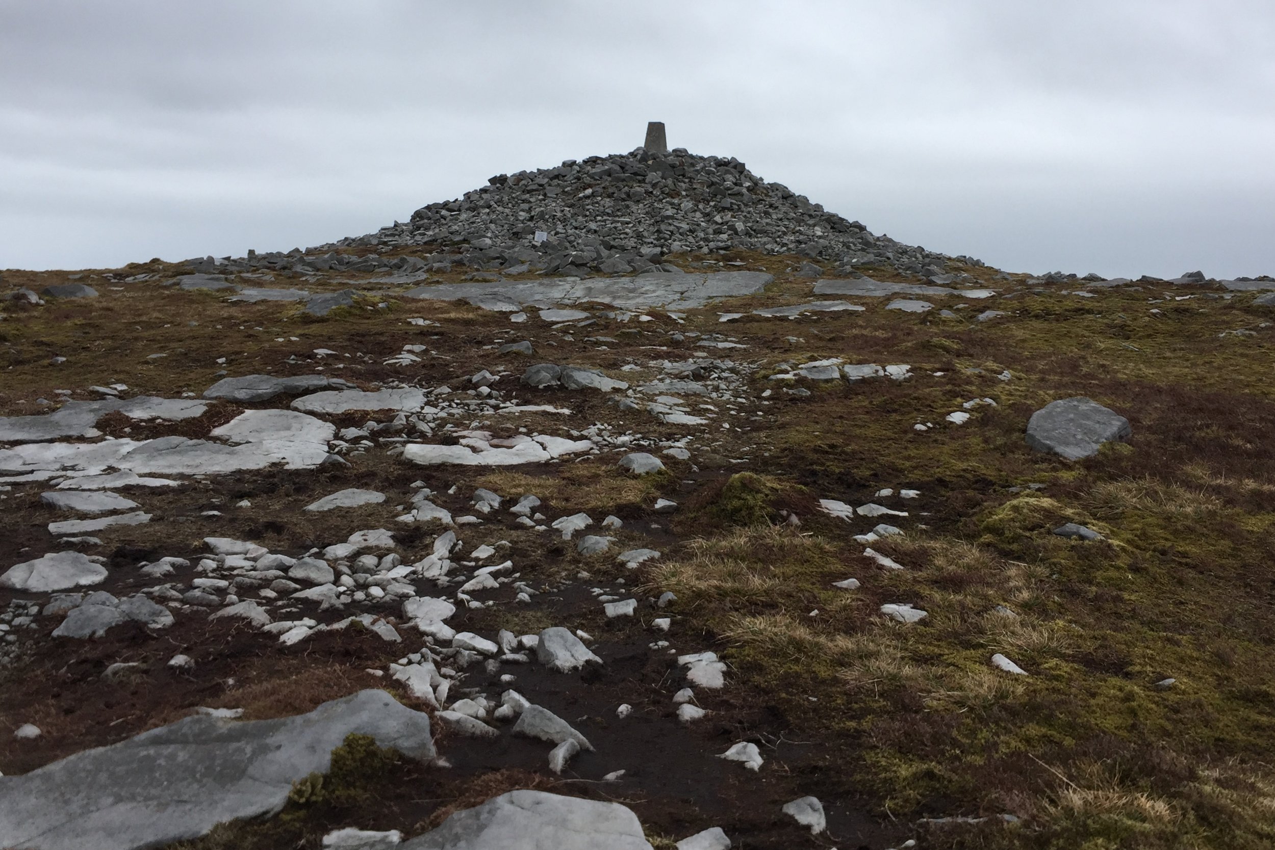
Cuilcagh. County Fermanagh. 666 metres. Completed
Slieve Gullion. County Armagh. 576 metres. Completed
Trostan. County Antrim. 550 metres. Completed
Northern Ireland Historic County Top Road Trip
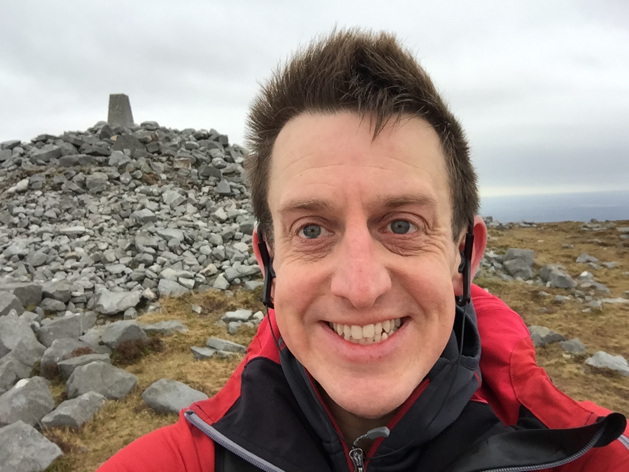
The idea for our Grand Tour of Northern Ireland came from how to solve the challenge of doing all 6 N.I. County Tops whilst making the trip "wife-friendly". Timi (the wife) loves travel as much as I do, enjoys trekking (to a point) but is not fond of mud and cold. We've learnt that the best combination is to do the adventure thing in the day but stay at nice places at night. A much as I could sleep in a tree, that's never a good option for Timi.
The plan was to start in Belfast, do some sight-seeing then take an anti-clockwise tour of the six counties, ticking off the County Tops. The anti-clockwise option works well as Trostan is a relatively straightforward warm-up and the others build up to the highest peak, Slieve Donard, at the end. In order to get the right balance of adventure and rest, we did no more than 1 walk per day and built in a day off between Trostan and Sawel Mountain to see the Giant's Causeway and Carrick-a-rede.
Driving Distances:
Belfast to Trostan: 46 miles
Trostan to Sawel Mountain: 50 miles
Sawel Mountain to Cuilcagh: 70 miles
Cuilcagh to Slieve Gullion: 80 miles
Slieve Gullion to Slieve Donard: 36 miles
Slieve Donard to Belfast: 40 miles
Total Trip: 322 miles
Driving distances above show direct routes between main stops. The map below shows a longer road-trip including a visit to Giant's Causeway and Carrick-a-rede and an overnight stay in Donegal between Cuilcagh and Slieve Gullion.
Present-Day Northern Ireland Super-Councils High Points
In 2015, Northern Ireland underwent a significant restructuring of its local government system, reducing the number of councils from 26 to 11. These newly formed larger councils, often dubbed "super councils," were established with the aim of enhancing efficiency, innovation, and cost-effectiveness in local governance. The reform also transferred additional responsibilities to the councils, including planning, local economic development, off-street car parking, and community investment, which were previously handled by the central government. This decentralization of power was intended to empower local councils to play a more prominent role in shaping their communities and responding to local needs.
Here are the highest points of the Northern Ireland Super Councils. The source of this list is Peakbagger.com. Note that other sources, including Wikipedia, show different high points. Please contact me if you have any information relavant to updating this list and I will donate £1 per correction to one of my Causes.
Slieve Donard. Newry City, Mourne and Down District. 850 metres.
Sawel Mountain. Derry City and Strabane District. 678 metres.
Cuilcagh. Fermanagh and Omagh District. 666 metres.
Mullaghaneany. Causeway Coast and Glens District. 627 metres.
Oughtmore. Mid-Ulster District. 569 metres.
Slievenanee. Mid and East Antrim District. 543 metres.
Divis. Belfast City. 478 metres.
Divis - West Slope. Antrim and Newtownabbey District. 455 metres.
Carrigatuke. Armagh City, Banbridge and Craigavon District. 365 metres.
Collin. Lisburn City and Castlereagh District. 328 metres.
Cairngaver. North Down and Ards District. 214 metres.
The highest 3 mountains in the super-council list (Slieve Donard, Sawel Mountain and Cuilcagh) are also Historic County Tops. Trostan is the Historic County Top of County Antrim but is now in the Causeway Coast and Glens District of which Mullaghaneany is the highest point. Slieve Gullion is the Historic County Top of County Armagh but is now in the Newry City, Mourne and Down District of which Slieve Donard is the highest point.
More High Points