High Peaks of the Balkans
I’d seen the ad for this trip on Facebook about a year ago. It ticked all the right boxes to get me over-excited. 4 new countries, the highest peak in each, and a new airport. What's not to like? I signed up straight away expecting to rope in a few friends along the way. No chance ... 1 or 2 showed interest but came up with excuses like no money, lack of approval from the wife or “just had a baby”. Meh.
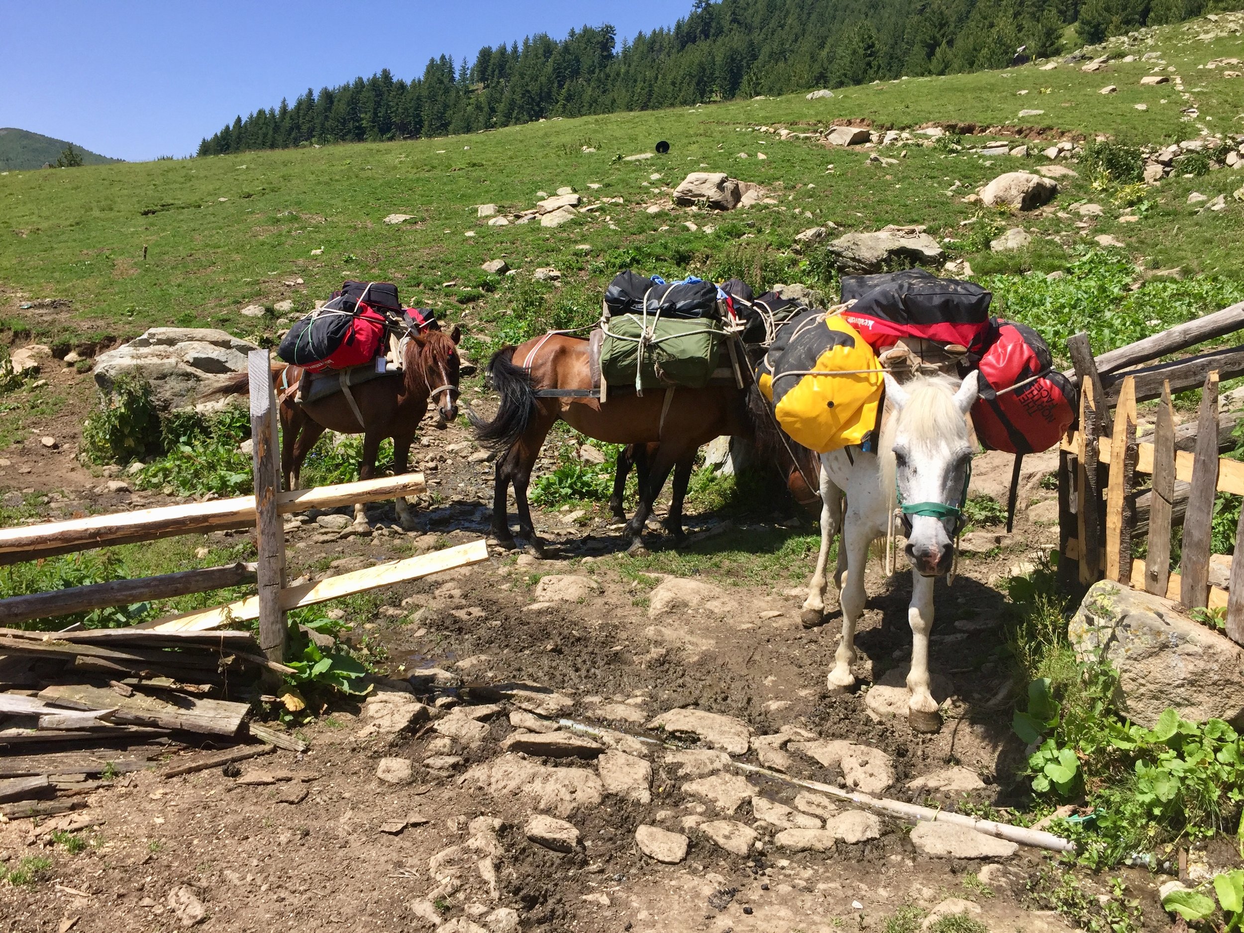
So, 1 year later I turned up at Tirana airport on my own looking for others with KE Adventures bags. I had the cunning plan of wearing my KE shirt so I could be spotted by others. All that did was make them think that I was their official guide for the week and I ended up carrying bags around. Once gathered together with our actual guide we started the 4 hour transfer to the first night's accommodation.
As it turned out, the other 11 in the group were lovely and all interesting people. KE seems to attract the more serious walker and adventure-seeker. All had incredible stories of previous trips and with none of the one-upmanship that comes with some groups. By the end of the trip I’d compiled a long list of future trips and kit advice.
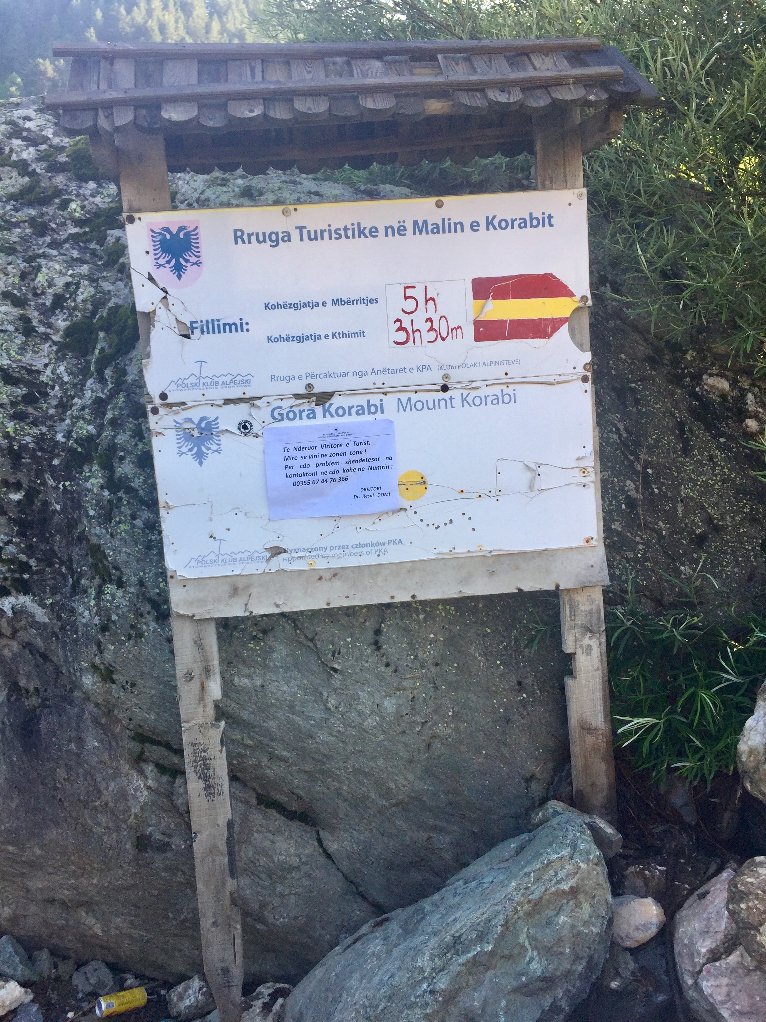
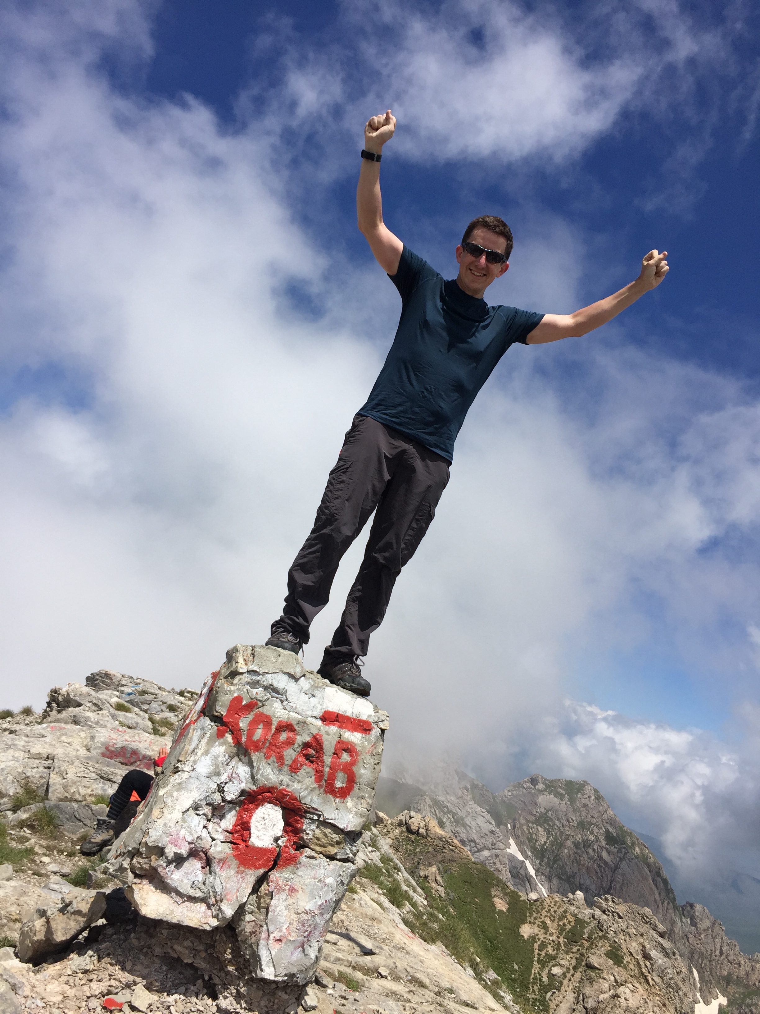
Day 1: Mt Korab
Significance: Highest peak in both Albania and North Macedonia
Elevation: 2,764 m
Date climbed: July 1st 2018
Coordinates: 41.7901° N, 20.5471° E
Route Start / End: Circular route from Hotel Korabi, Radomirë, Albania
Route Distance: 17.2 km (10.7 miles)
Route Elevation Change: +/- 1,527m
GPX File: get via Buy Me a Coffee
Web: https://en.wikipedia.org/wiki/Korab_(mountain)
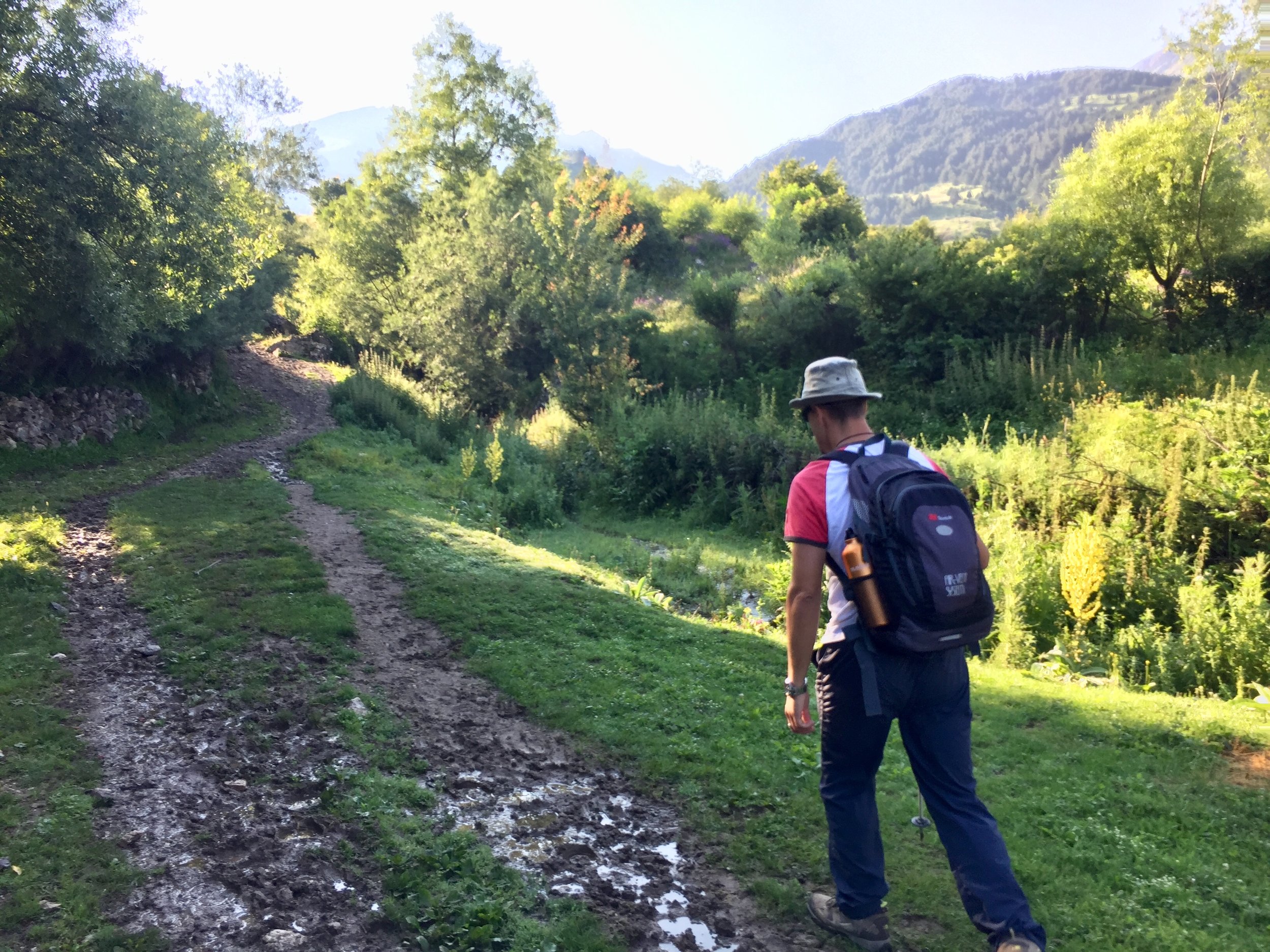
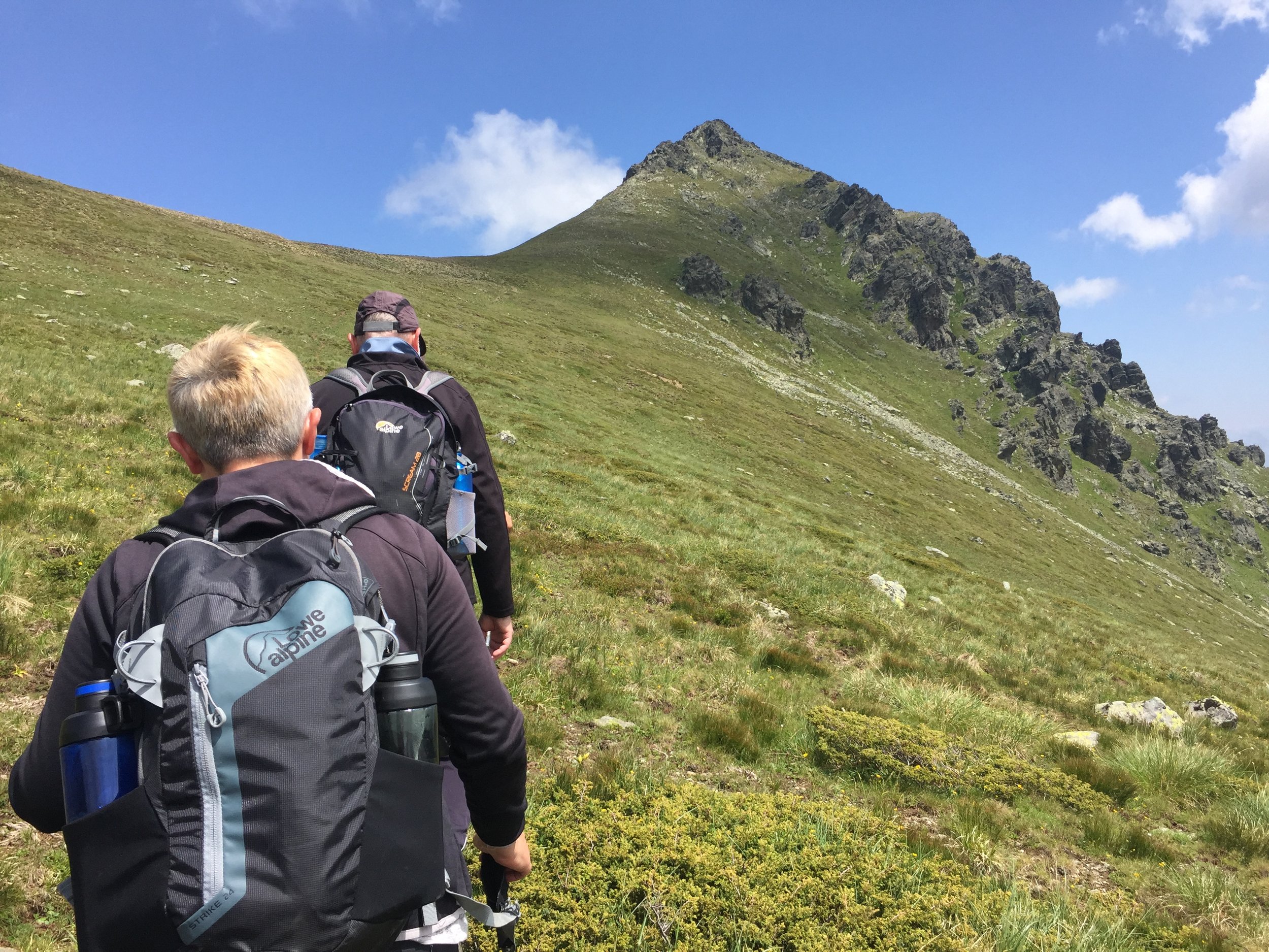
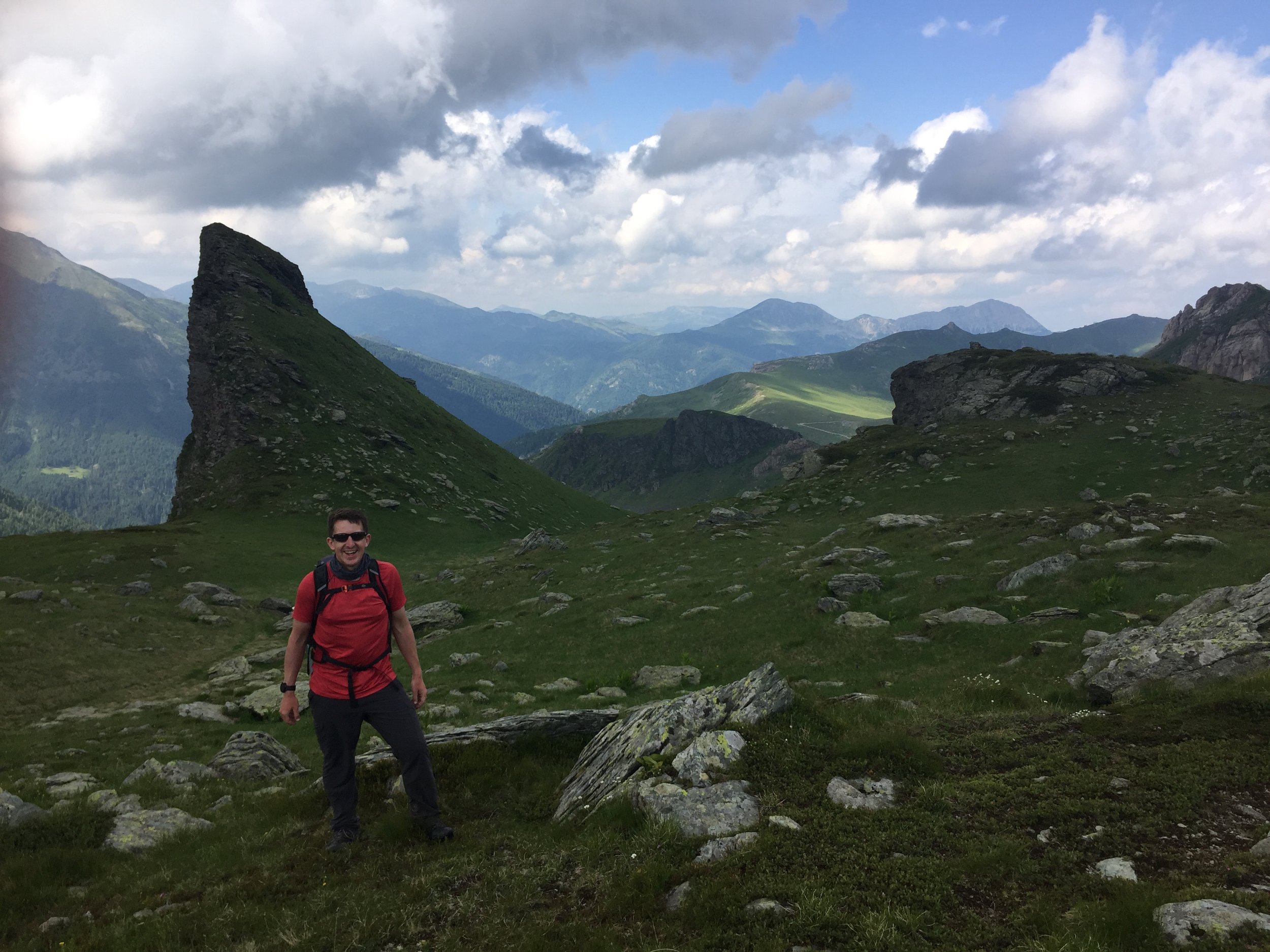
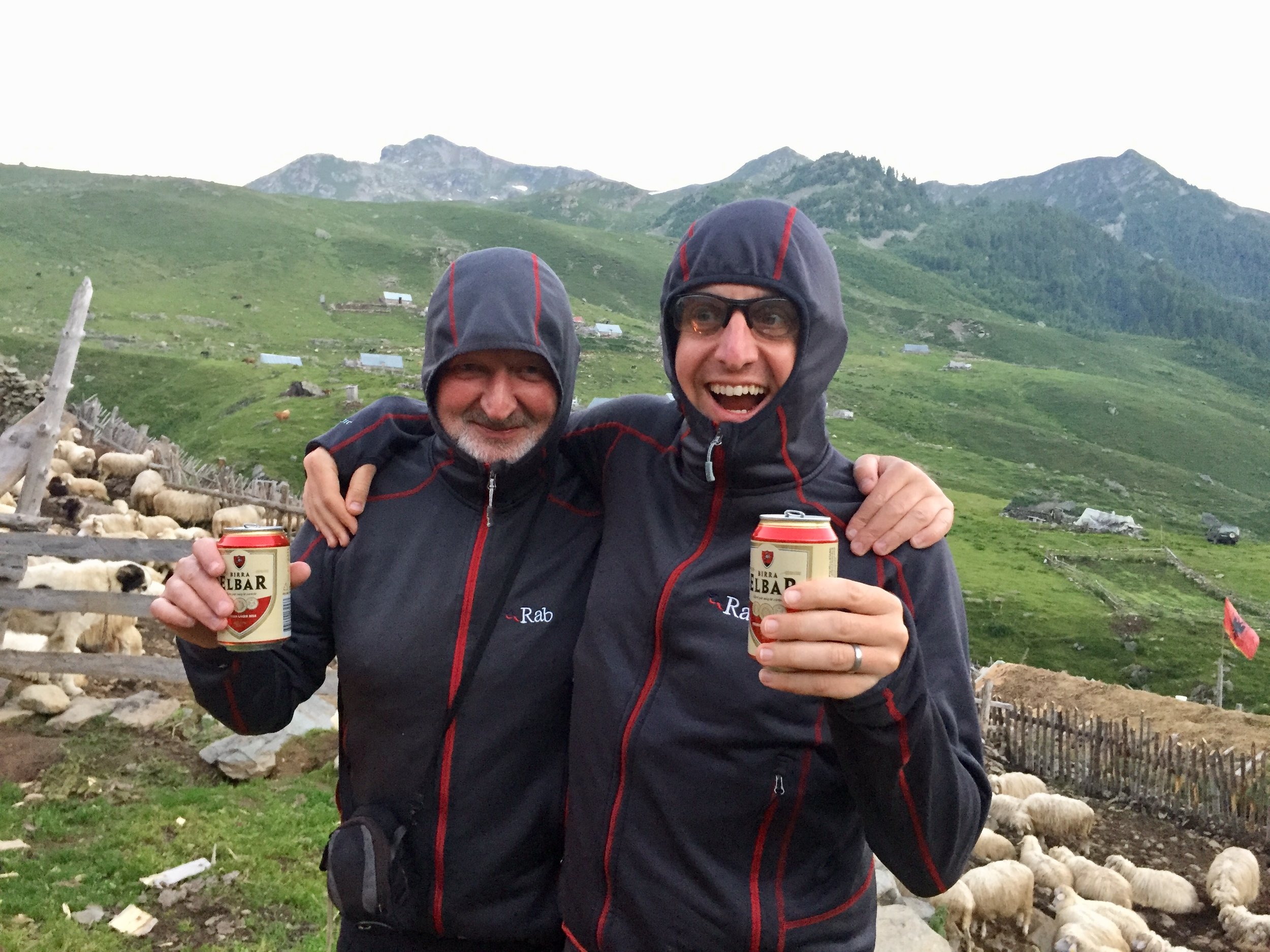
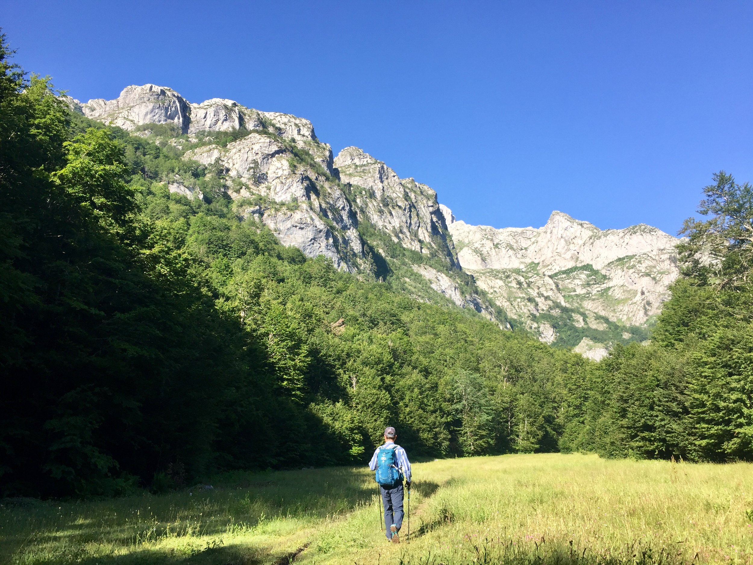
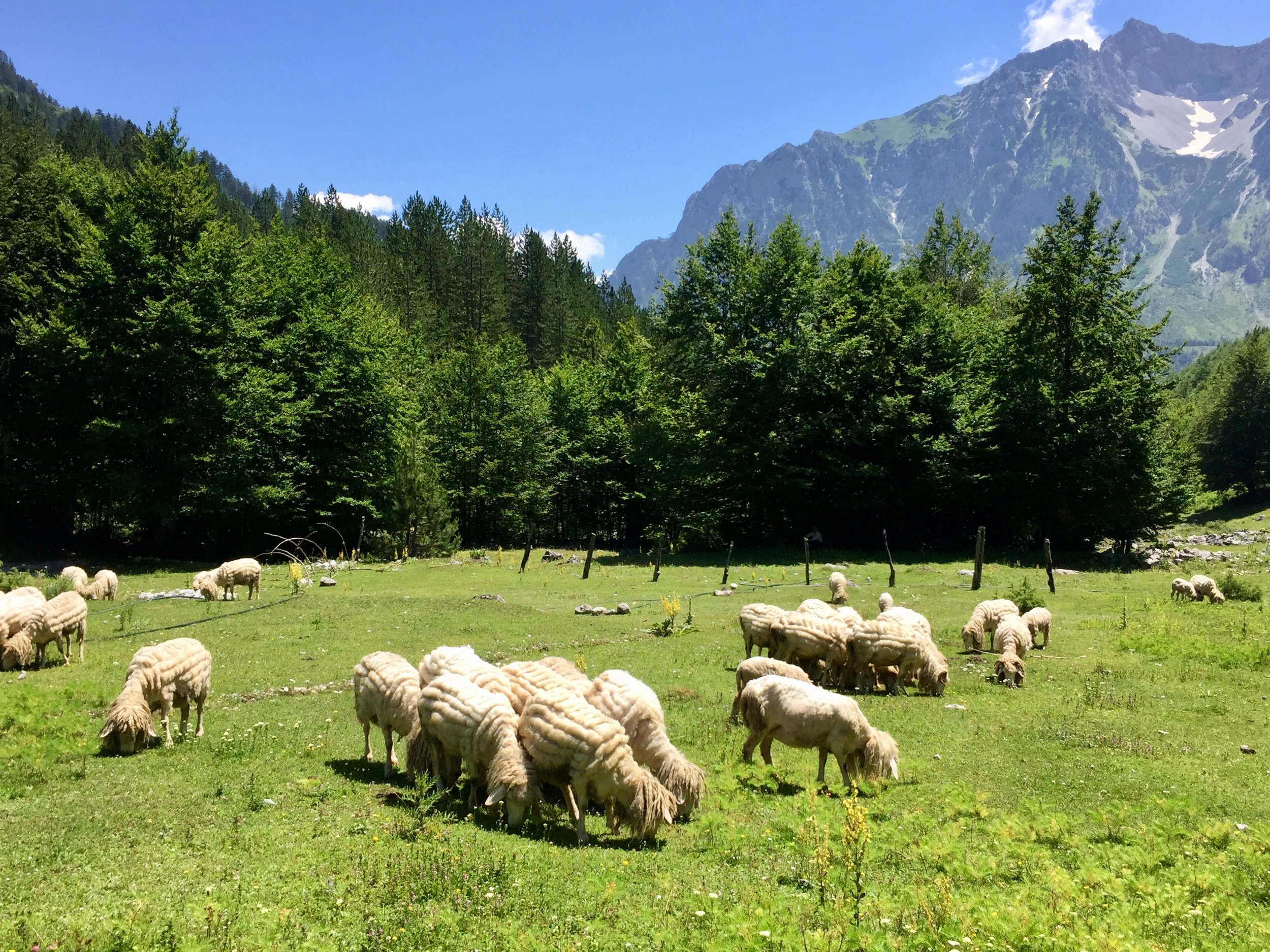
One of the things I loved about the trip was how much was packed into each day. Day 1 was no exception with a 06:00 wake up call for the trek to Mt Korab, the high point of both Albania and North Macedonia. This was the highest of the 3 summits on the trip and a long day at 9 hours. It was a nice warm-up and a chance to get to know the rest of the group and our guide Geri a bit better. We climbed up from the Albanian side then had lunch in North Macedonia over-looking Mavrovo National Park. The return was more or less the same as the ascent, with a nice diversion through a forest and meadows. After a quick celebratory Albanian beer we set off on 3 hour bus transfer to the Kosovan city of Junik.
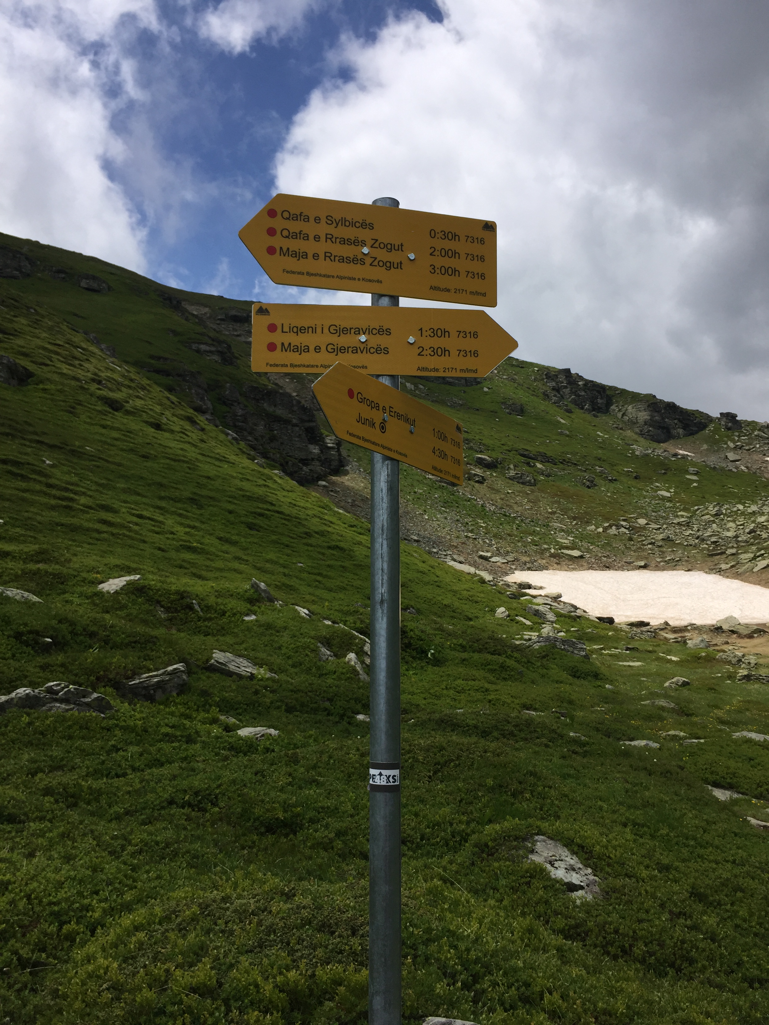
Day 2: Đeravica
Significance: Highest peak in Kosovo
Elevation: 2,656 m
Date climbed: July 2nd 2018
Coordinates: 42.5318° N, 20.1399° E
Route Start / End: Point to point route from Gropa e Ereniku to Dobërdol
Route Distance: 15.9 km (9.9 miles)
Route Elevation Change: +1,053m / -947m. Net 106m
GPX File: get via Buy Me a Coffee
Web: https://en.wikipedia.org/wiki/Deravica
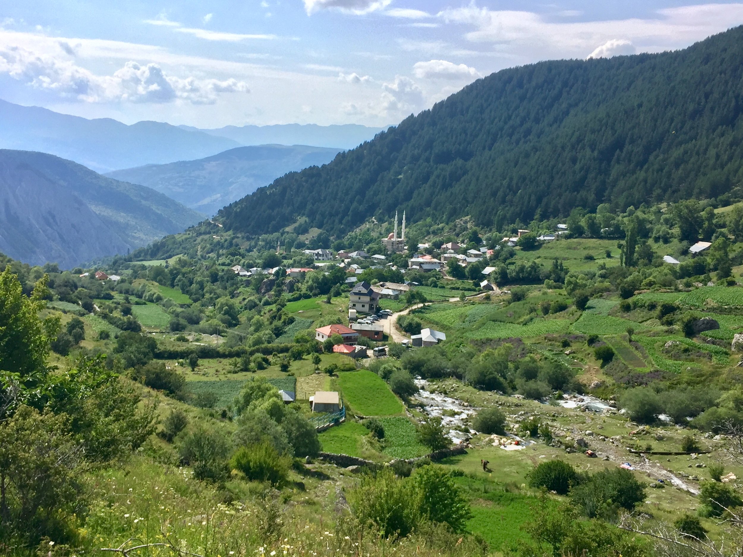
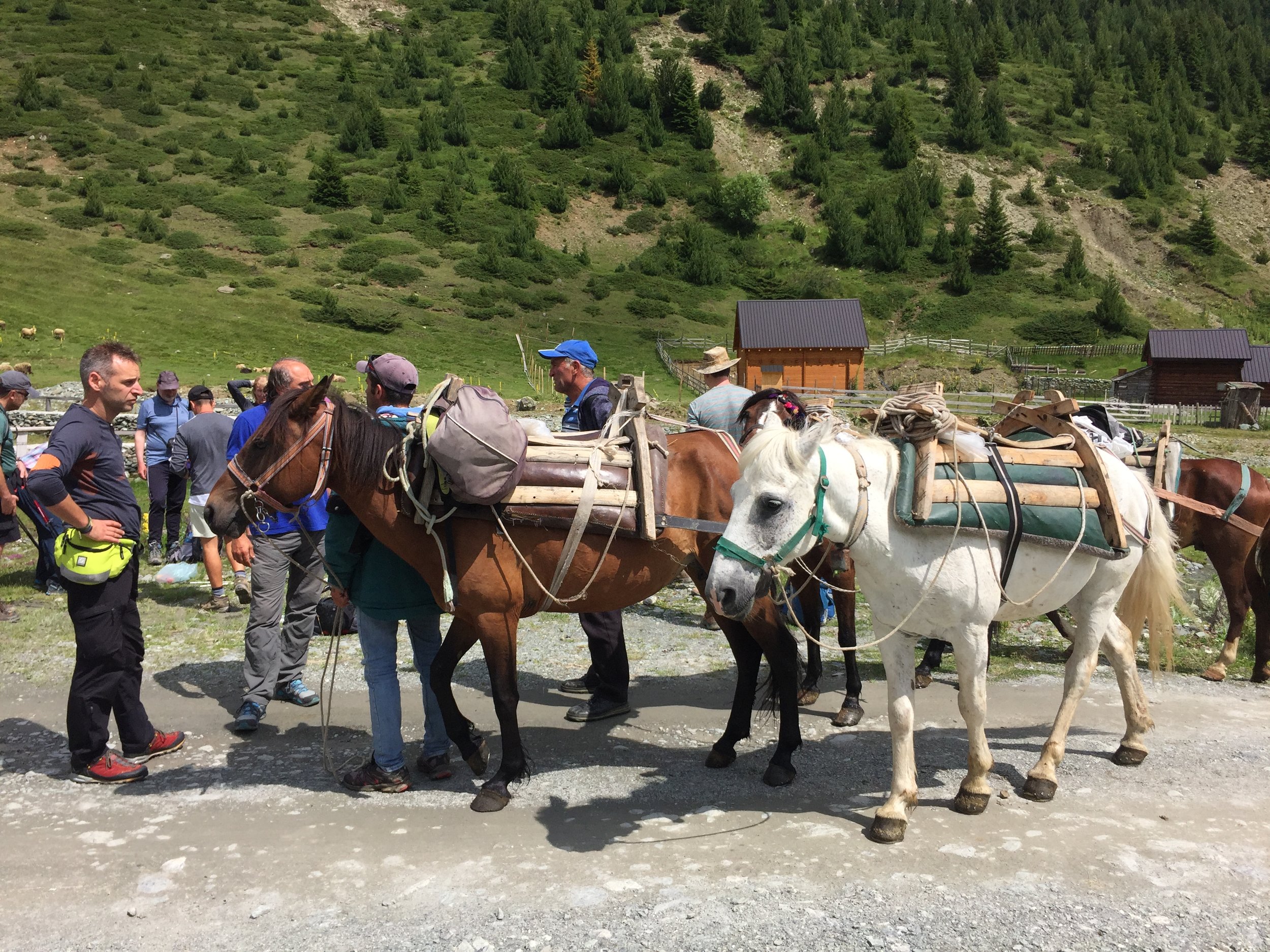
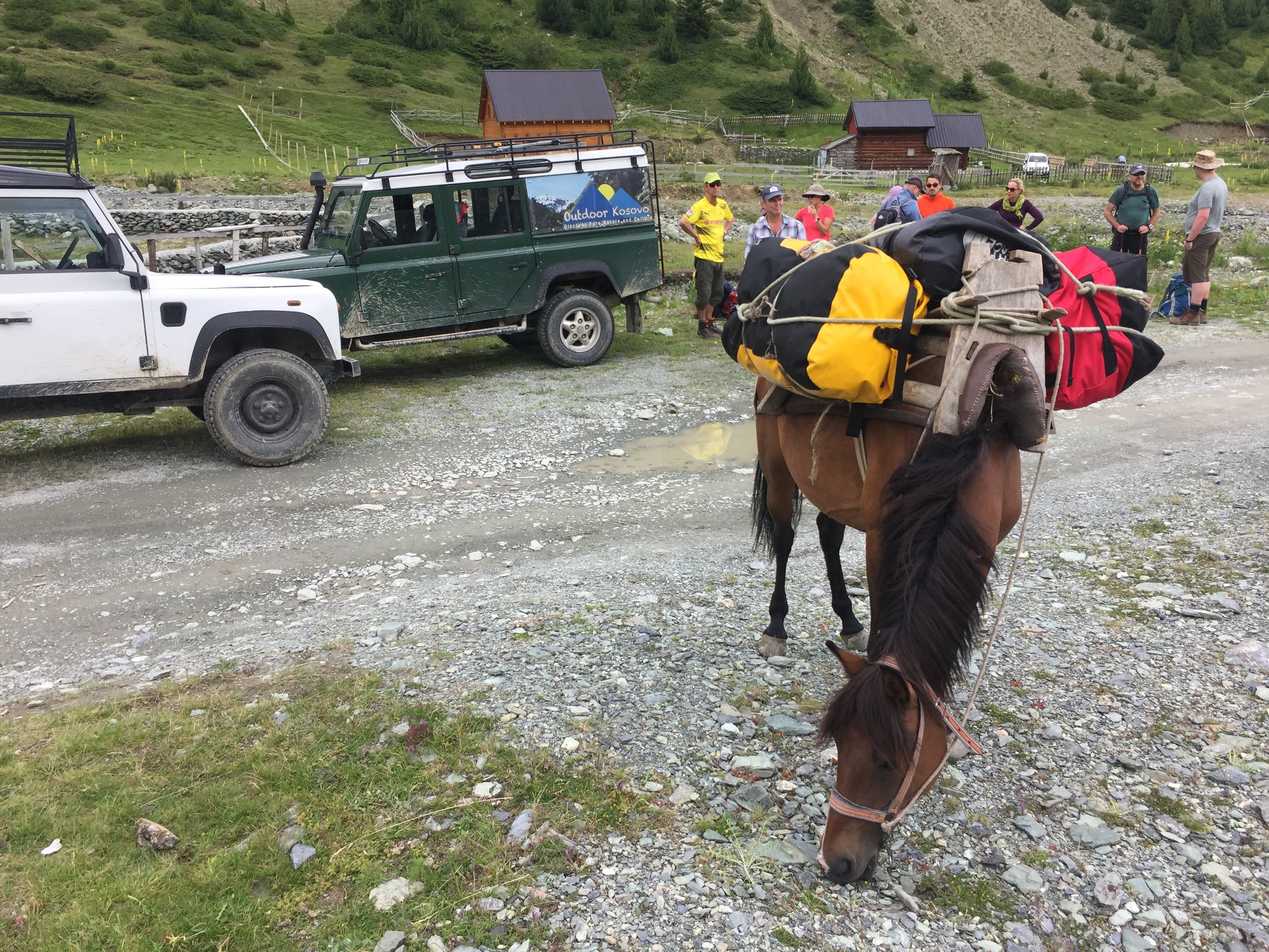
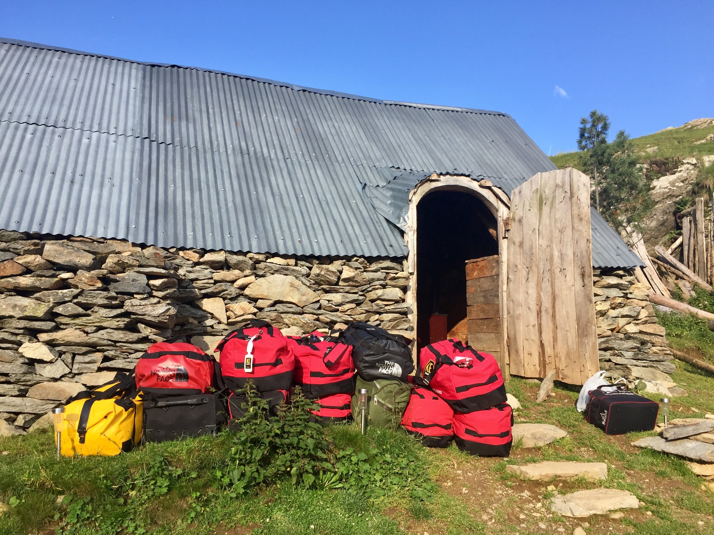
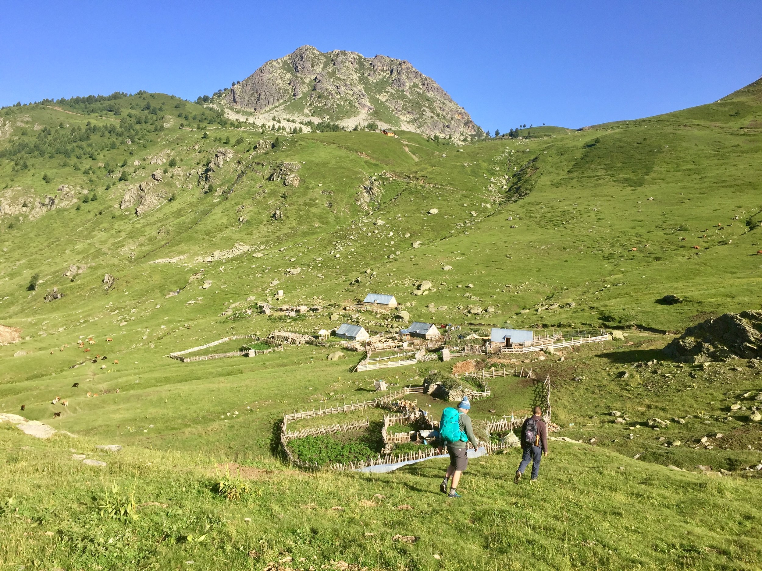
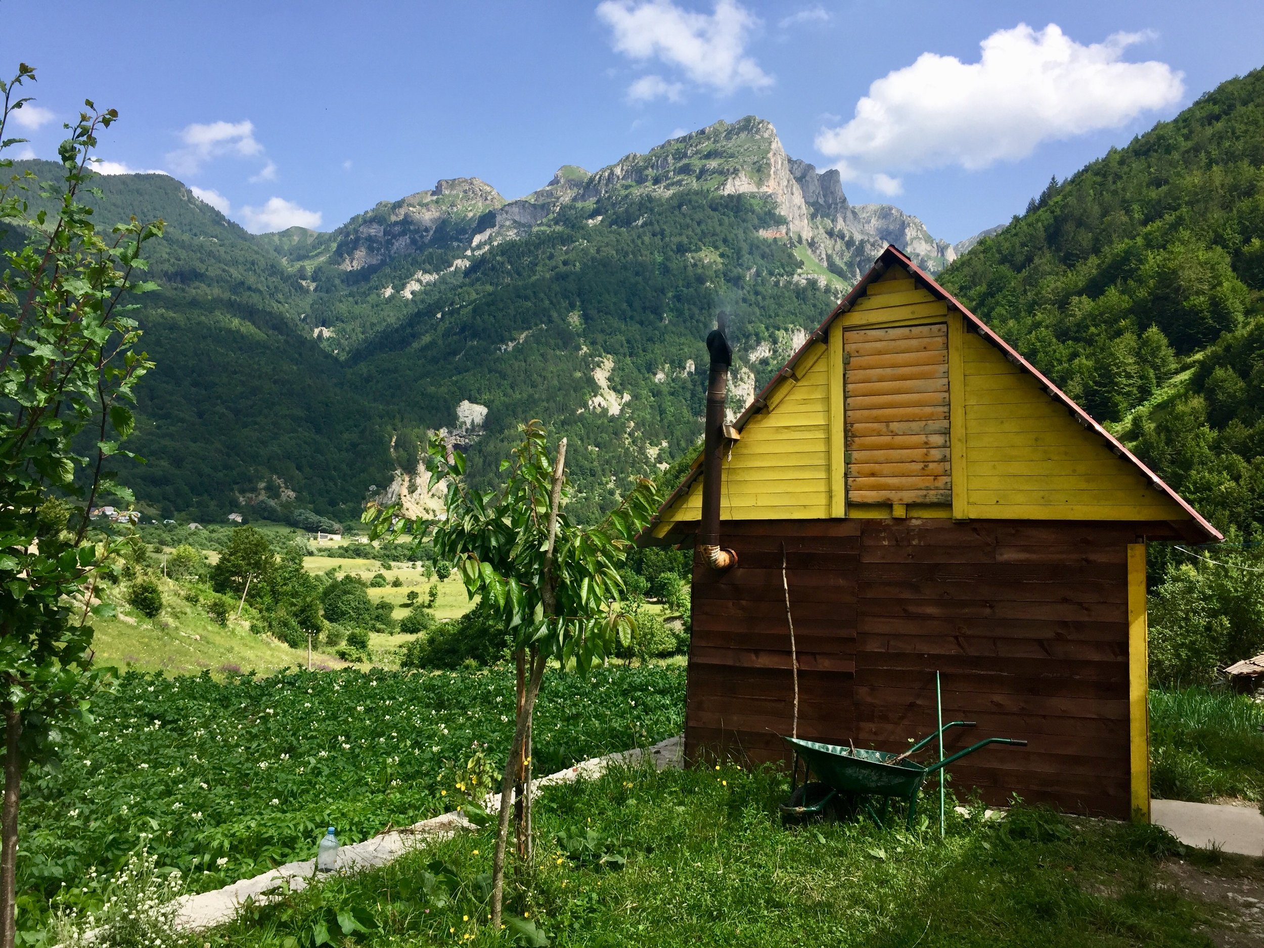
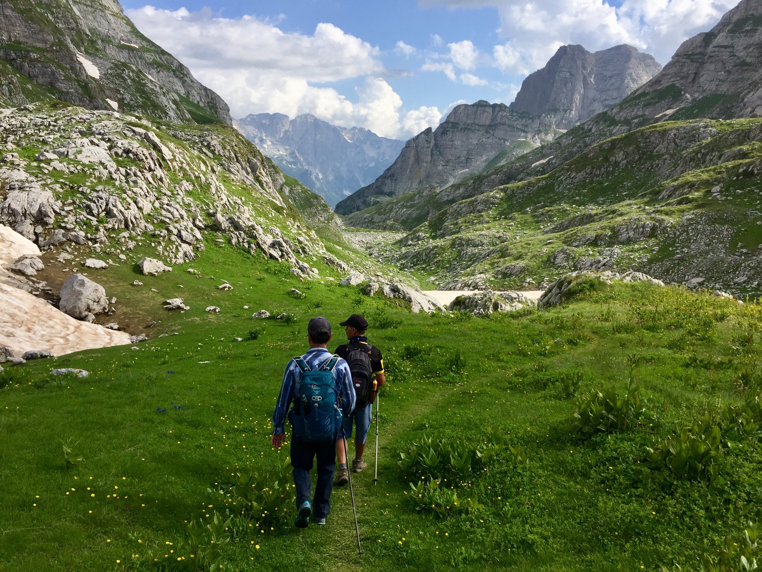
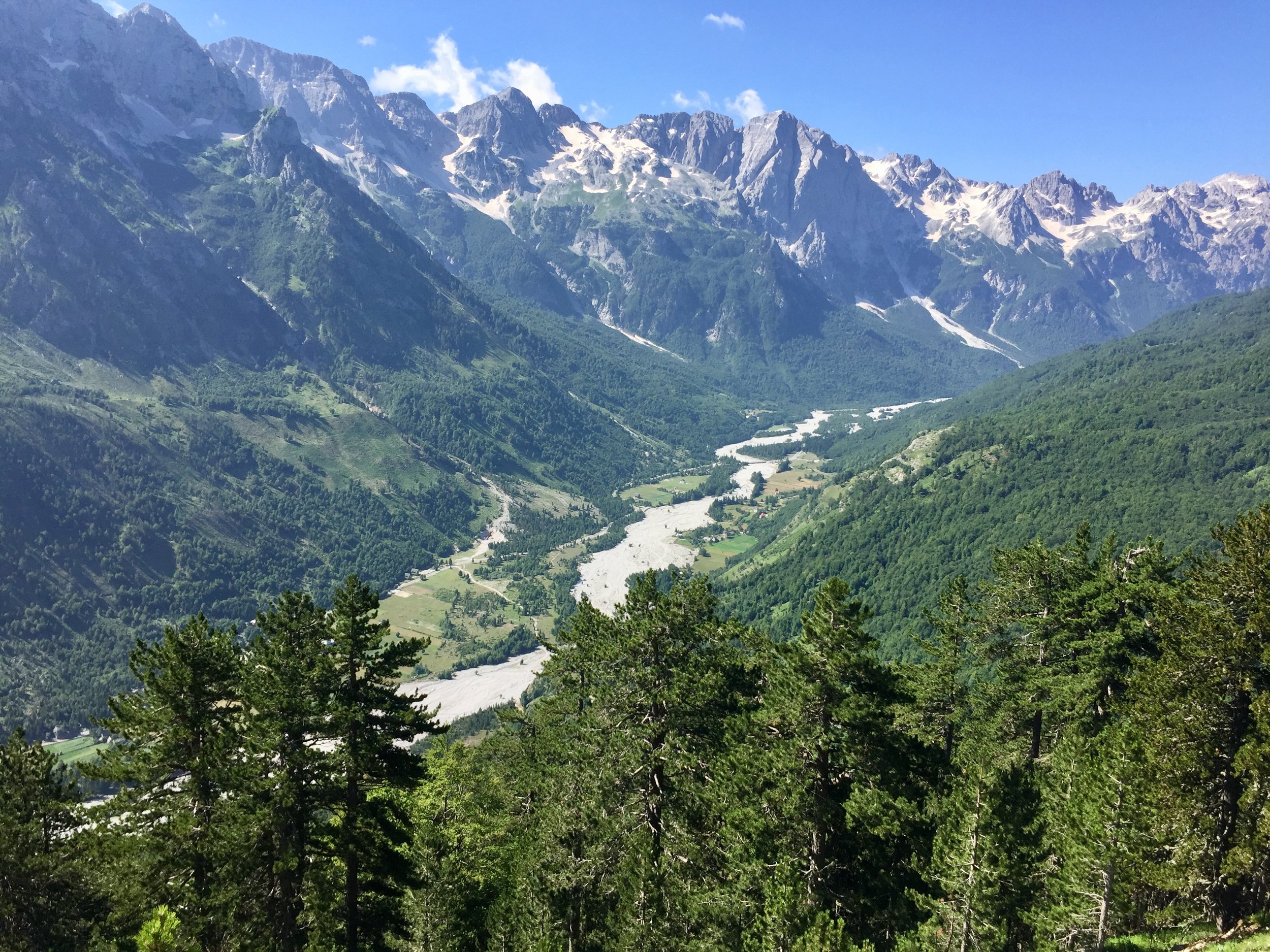
Kosovo was a pleasant surprise. My only awareness of it was from grim news reports from the 90s. I’d tried not to have any expectations, just an excitement from being able to tick off a new country, and an obscure one at that. Following our last comfortable night for a few days we took a bumpy 4x4 trip to a remote valley to start of our 4 day trek.
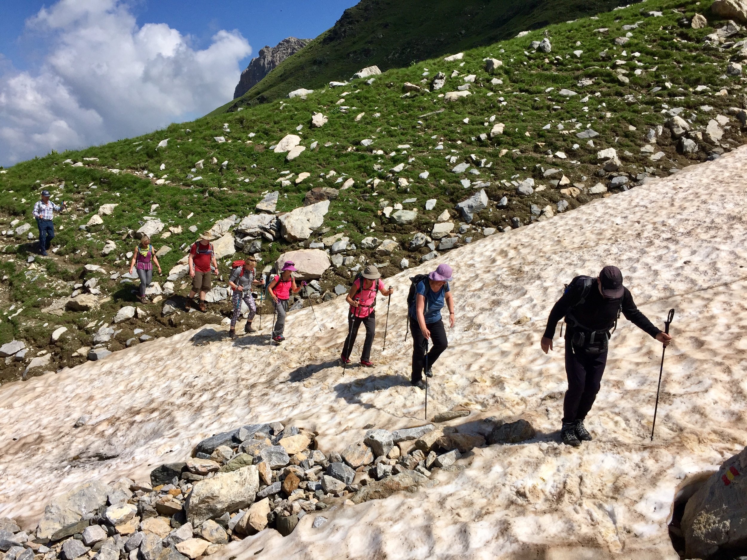
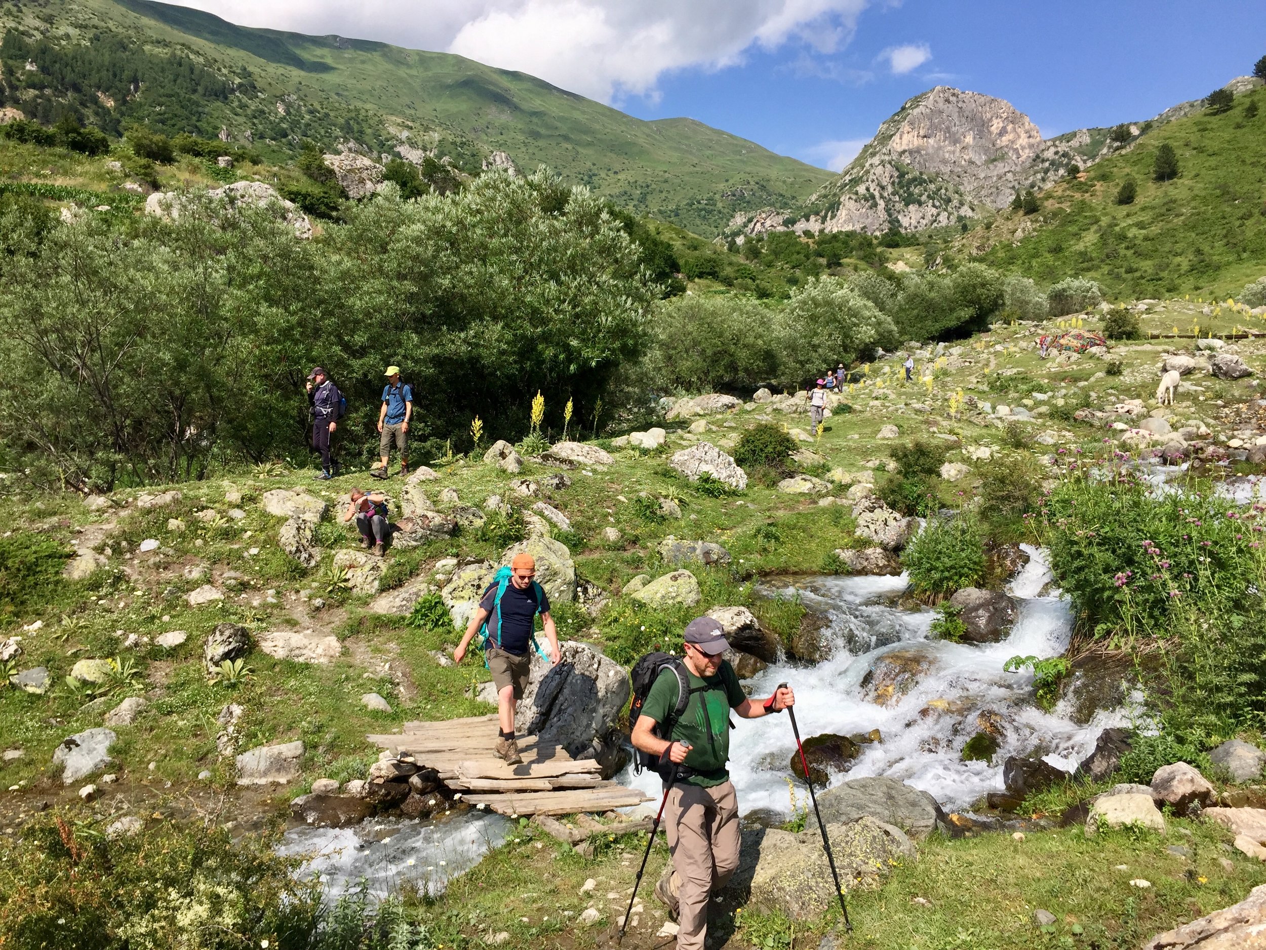
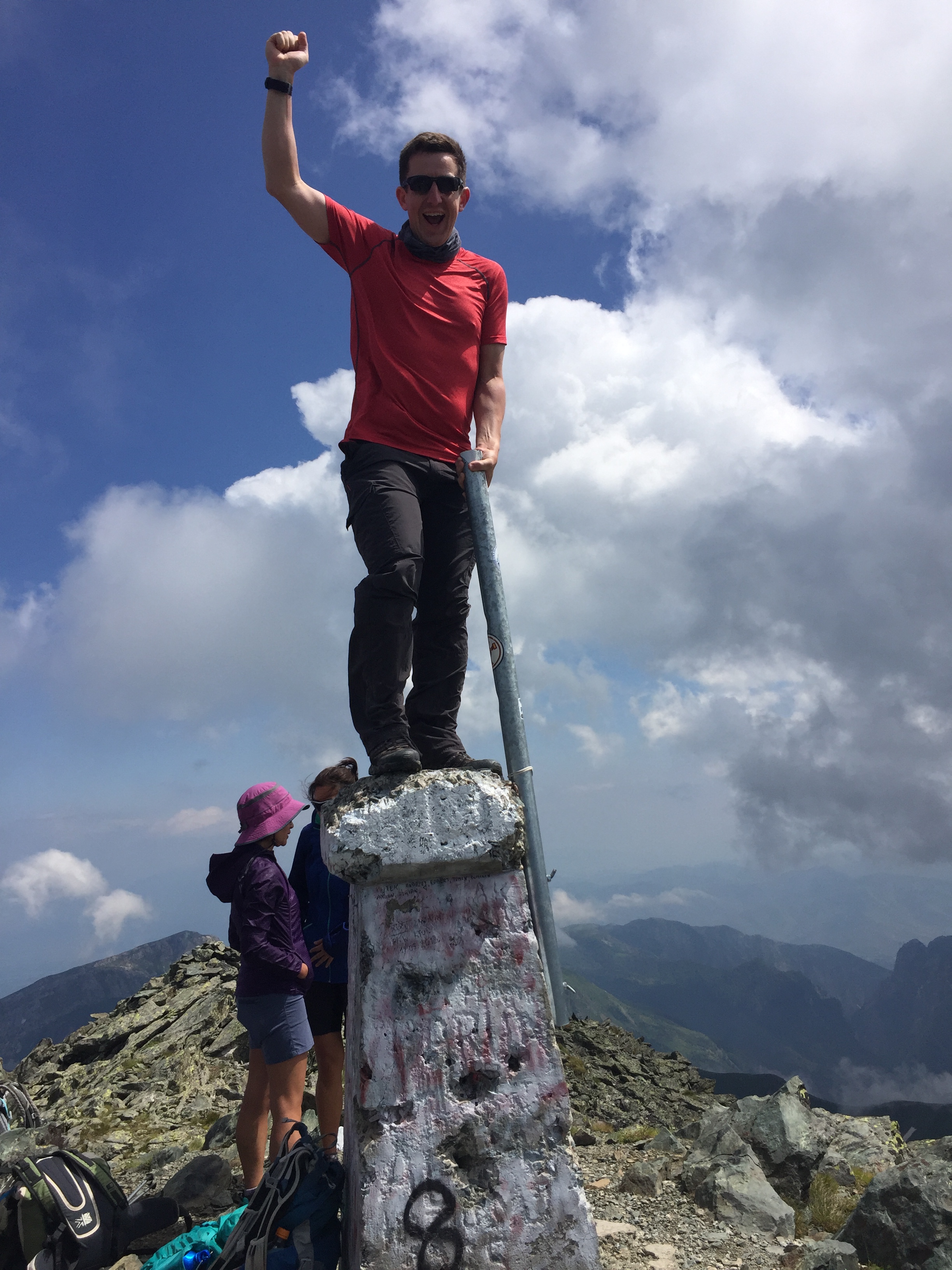
After the gentle initial ascent of Korab, today’s climb got steep quickly. The post-lunch scramble reminded me a bit of the Barranco Wall on Kilimanjaro. Once at the summit I was more hesitant to climb on top of the trig-like pillar than on Korab due to the high winds and steeper sides. Fortunately there was a flag pole to grip onto and attempt to look vaguely heroic.
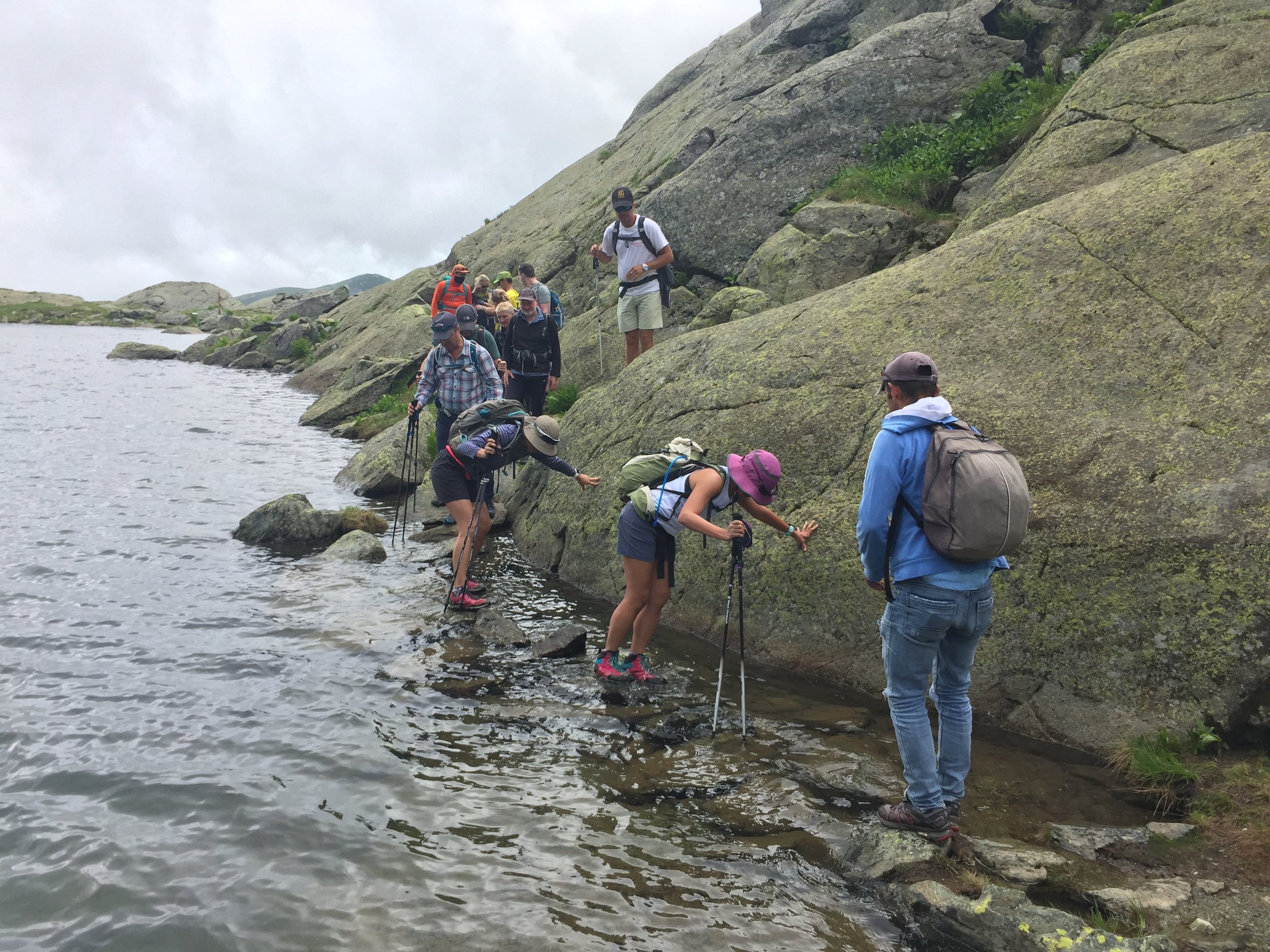
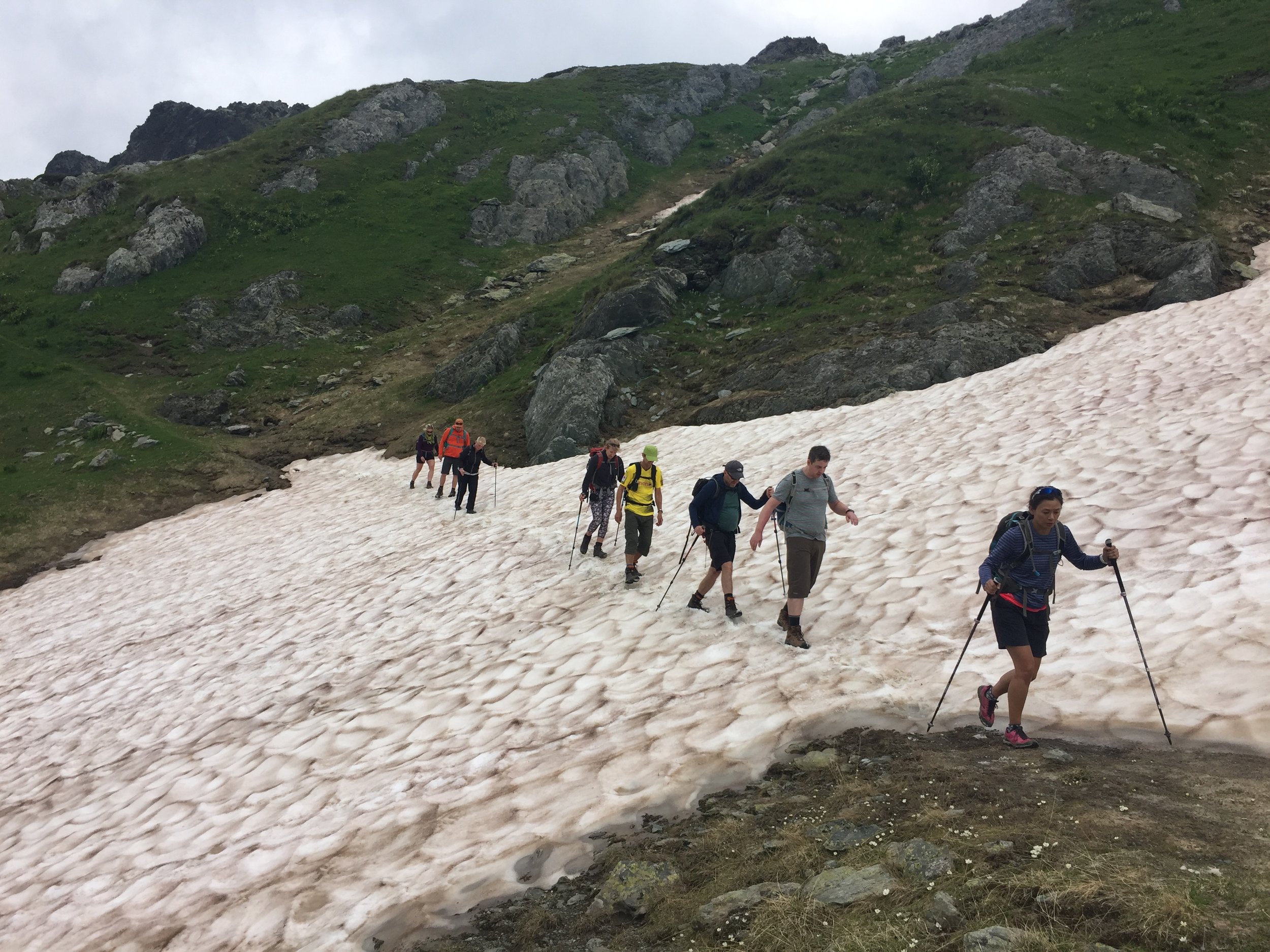
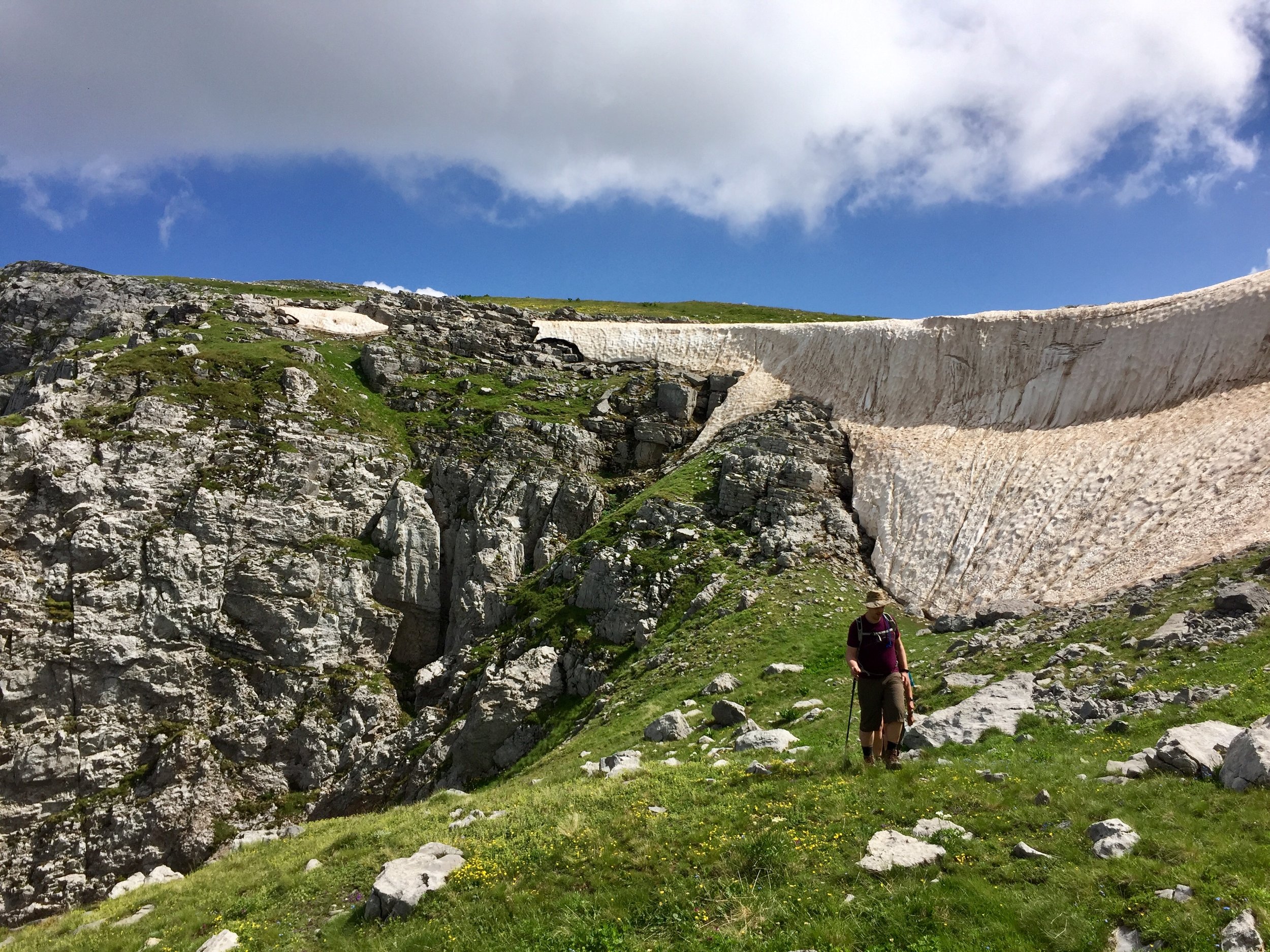
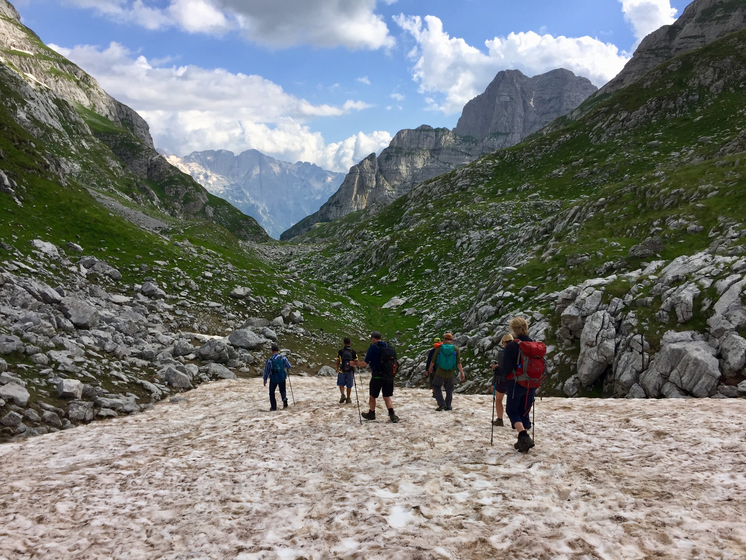
After the initial descent from the summit, the rest of the trek continued north-west, re-entering Albania after traversing a steep sided valley. A large ice field tested my long held nervousness of slipping. The more experienced of the group trudged straight across it while I followed Geri on a longer steadier route.
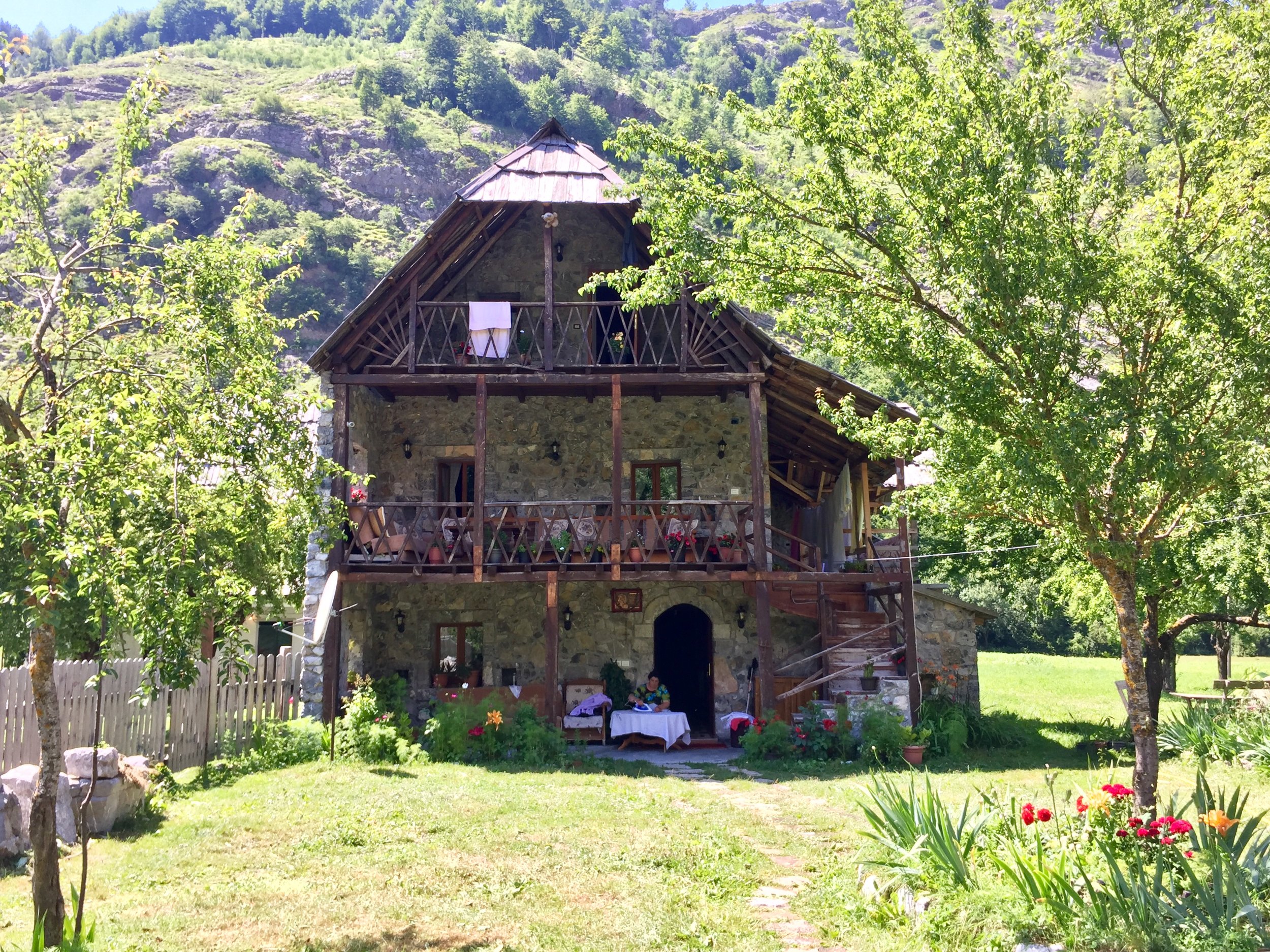
From the Kosovo/Albania border on the final pass, the end of the day’s walk was a pleasant wander down the Alpine Valley to the farm where we stayed for the night. This was to be the most basic of the guest houses: a single barn floor with a row of mattresses. The 3 snorers in the group, of which I was one, took the option of a separate barn 5 mins up the valley. Although intended as a gift for the others, we ended up with the better deal with a cosier barn and better toilet.
Day 3: Dobërdoll to Çerem
Elevation: from 1,800m to 1,220m
Date walked: July 3rd 2018
Route Start / End: Point to point route from Dobërdol to Çerem, Albania
Route Distance: 17 km (10.5 miles)
Route Elevation Change: +418m / -994m. Net -576m
GPX File: get via Buy Me a Coffee
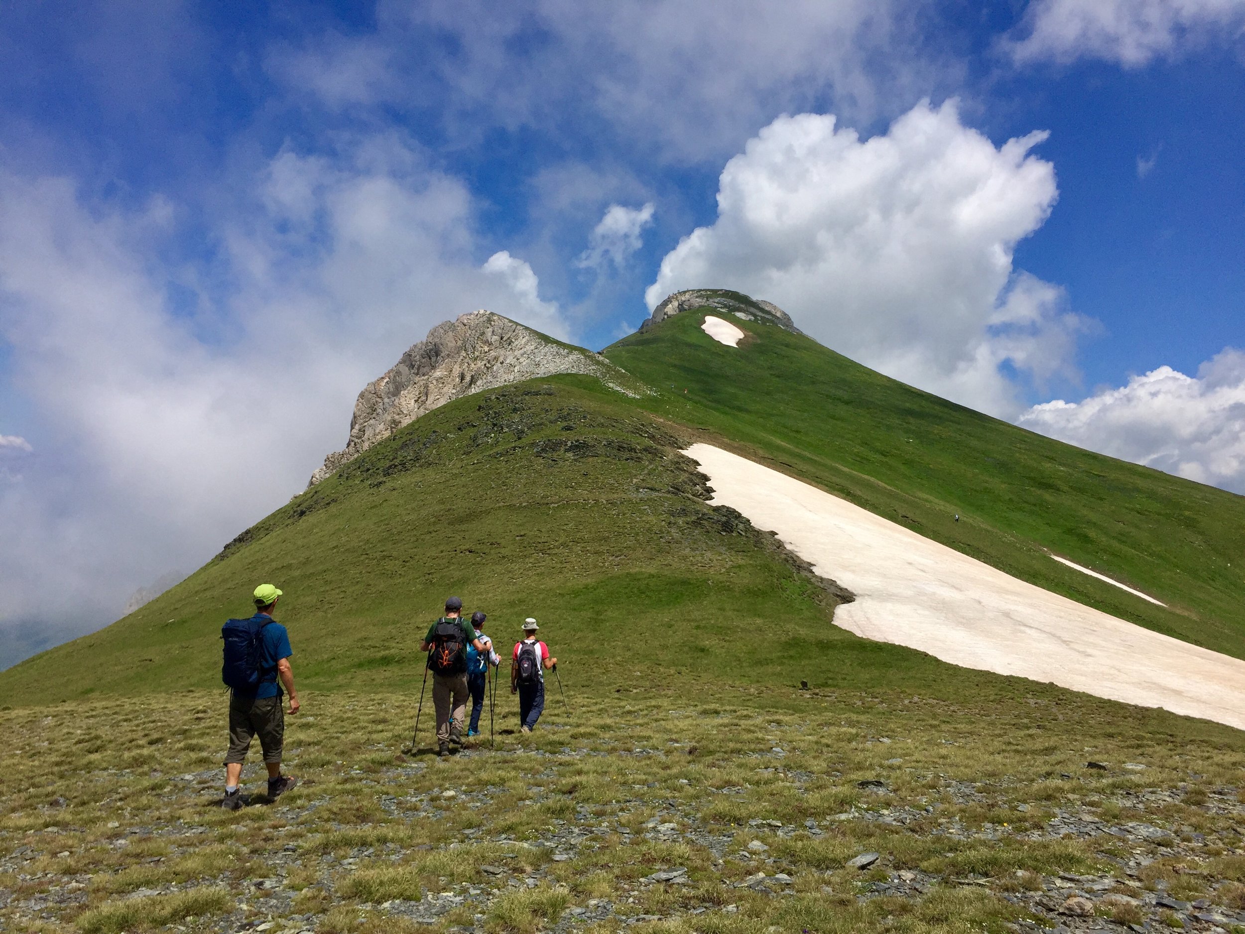
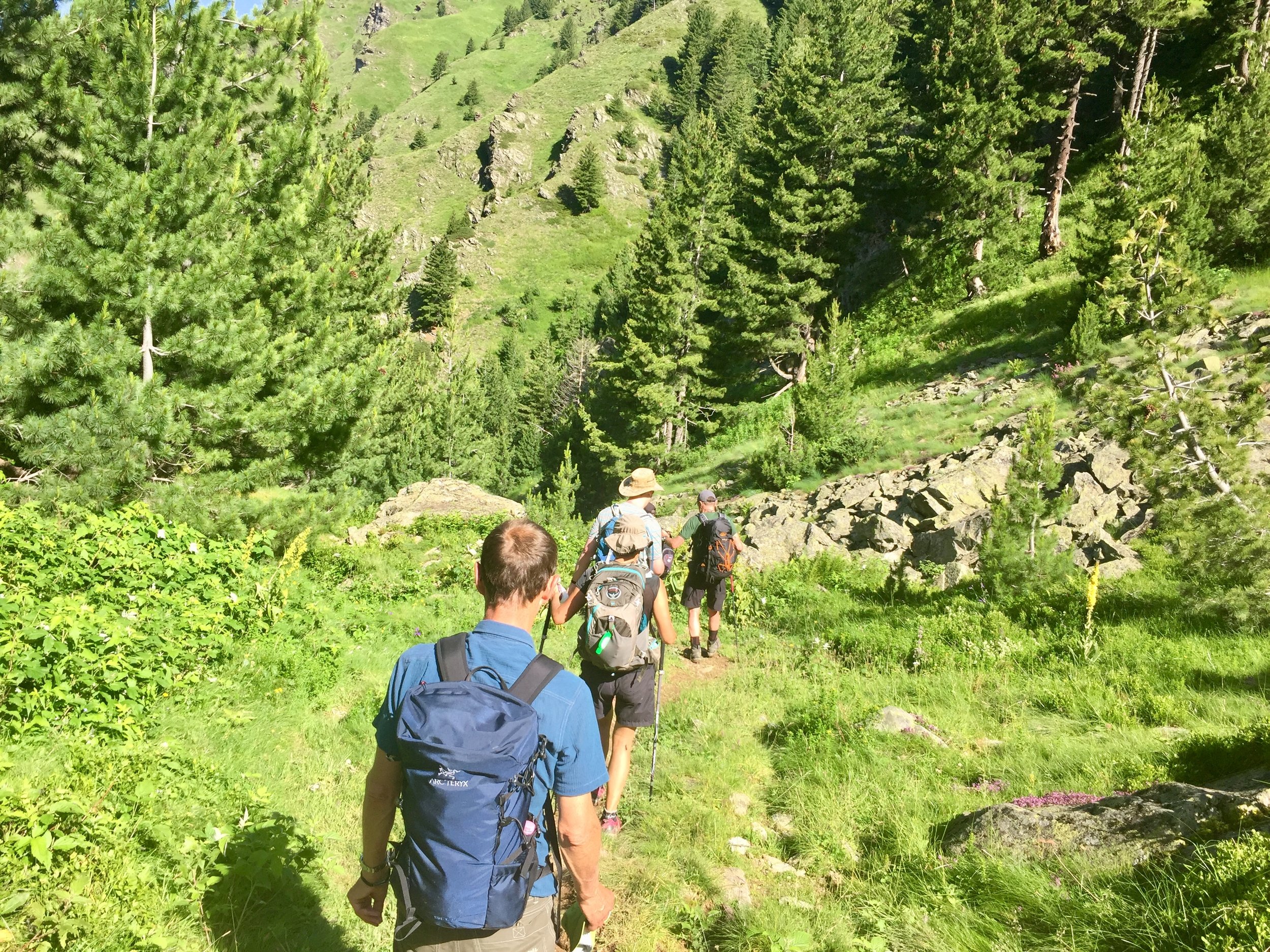
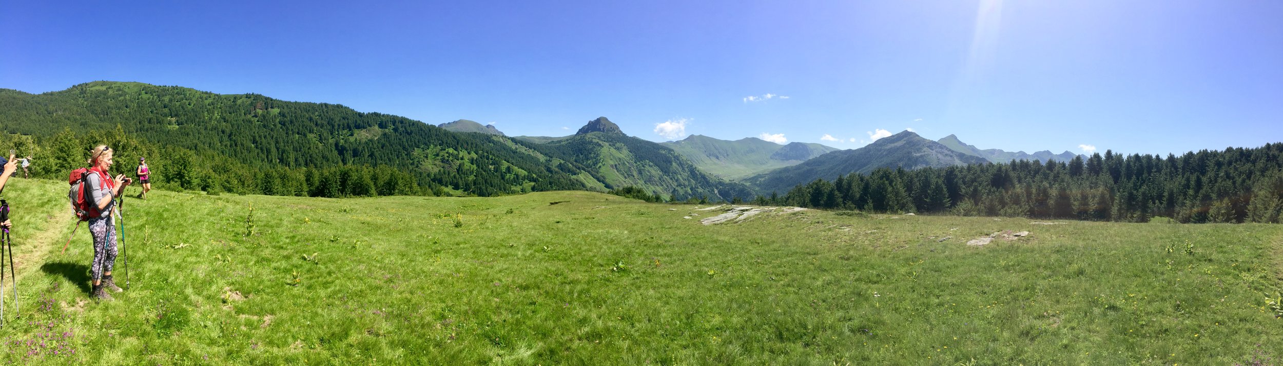
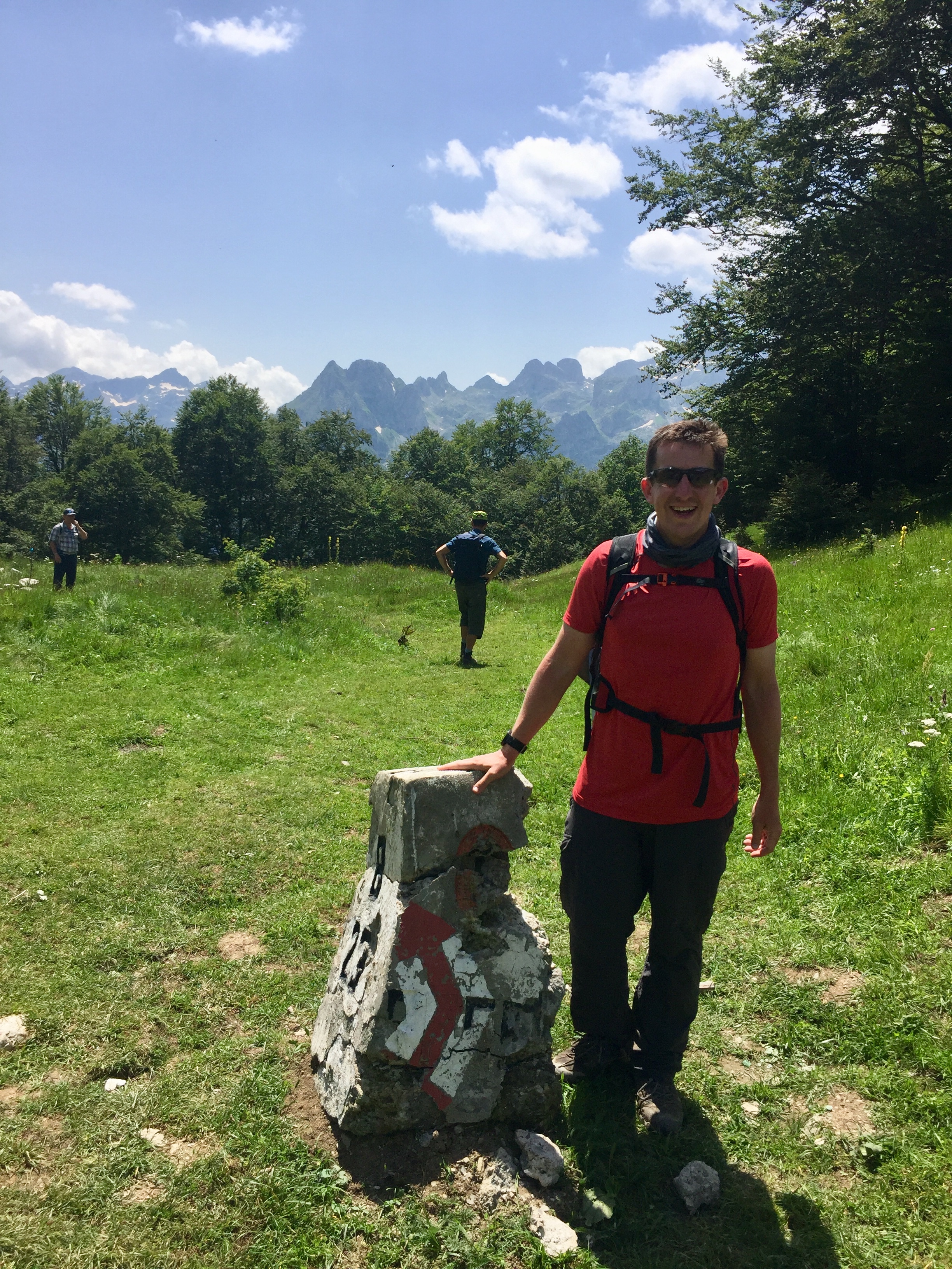
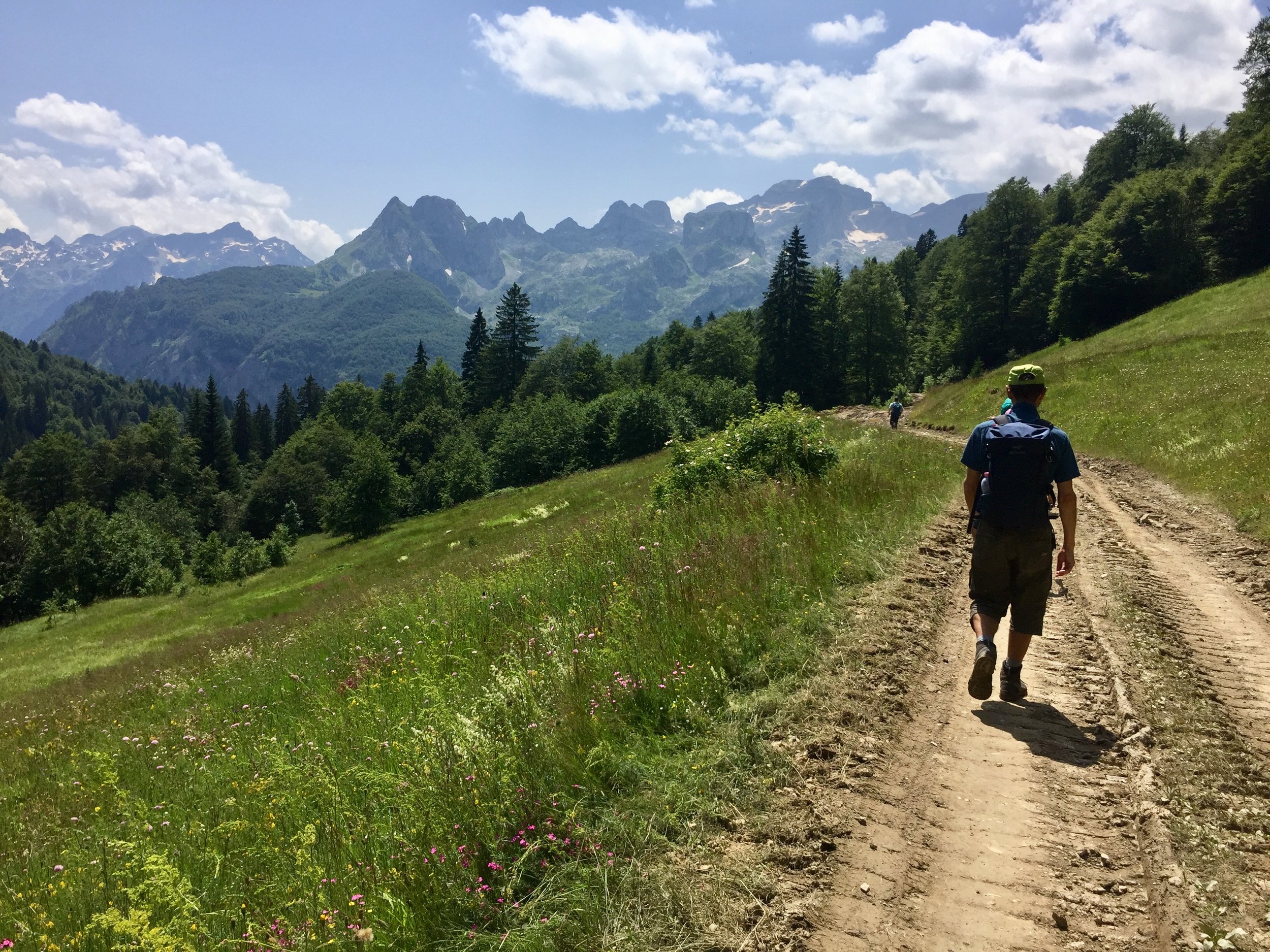
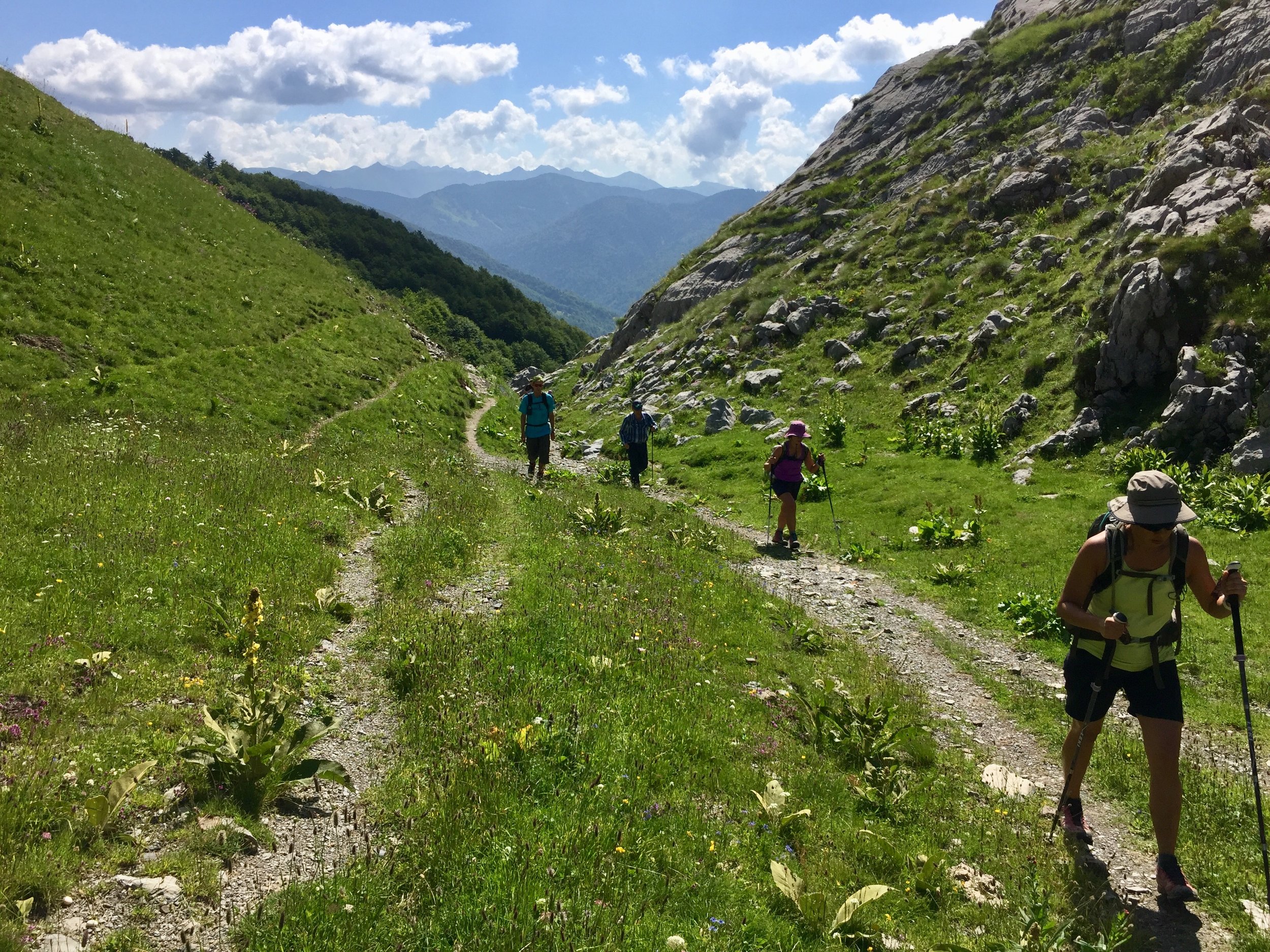
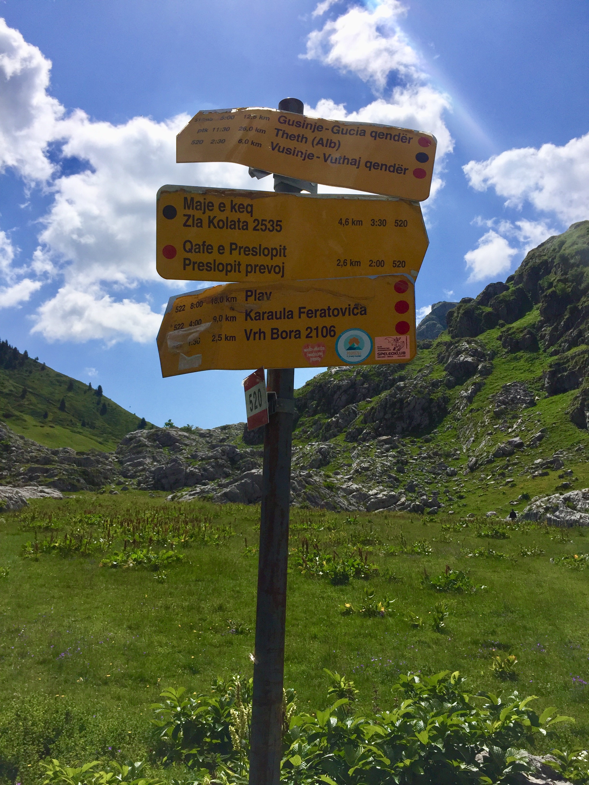
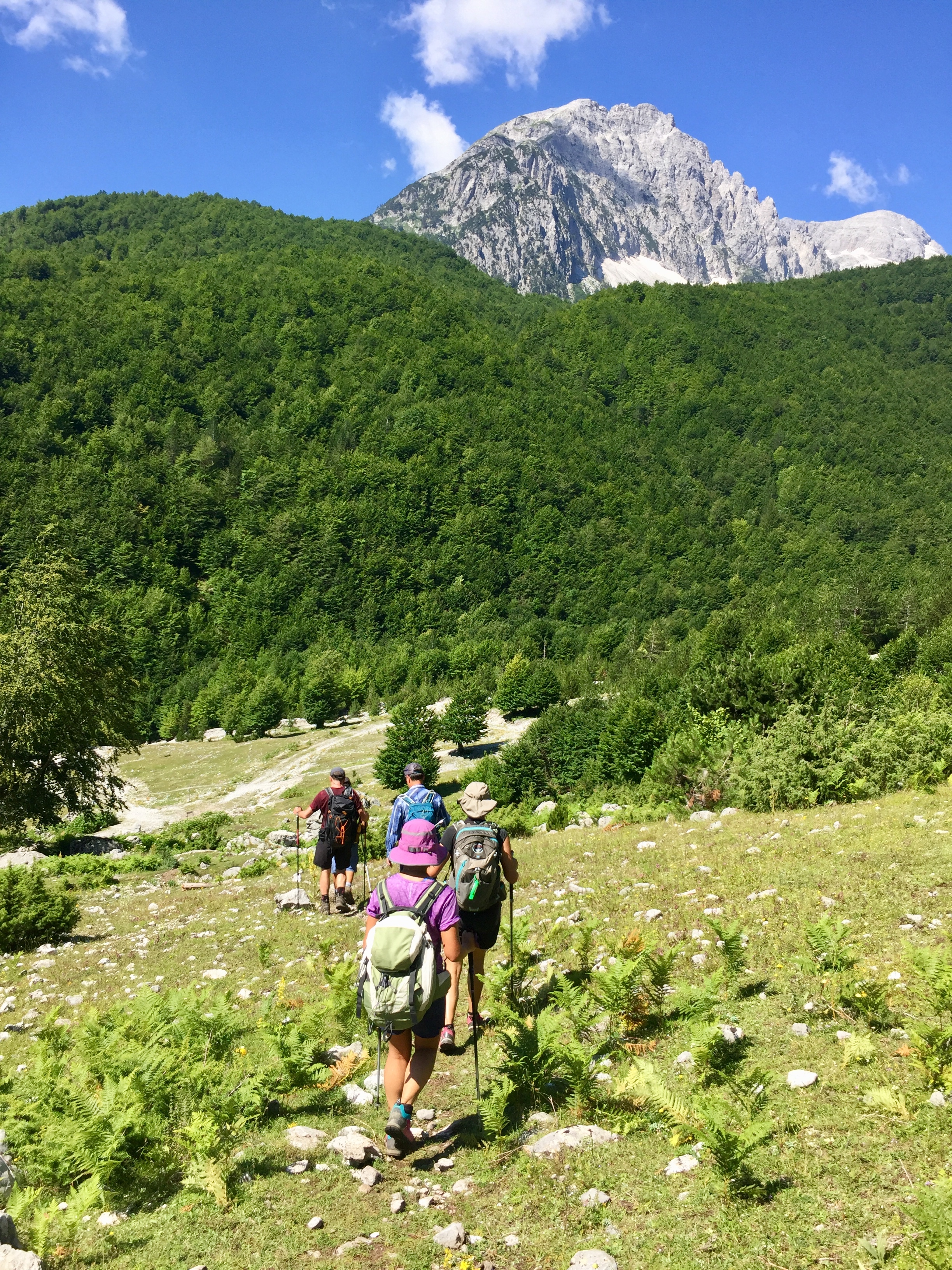
Day 3 was a break from the summits with a gentler plateau walk, mostly descending, from 1,791m to ~1,200m. The route crossed the Albania/Montenegro border several times a highlight being our lunch stop on a hill with views across to Zla Kolata.
Accommodation that evening was a pleasant but basic guesthouse in Çerem. We were amongst around 50 guests squeezed into the main house plus a few outbuildings. The good news was that it had a shower, but with just 1 for 50 sweaty walkers, there was a bit of a queue. Dinner arrangements were impressive as one lady in a small shed managed to serve up a hearty meal for everyone in 1 sitting.

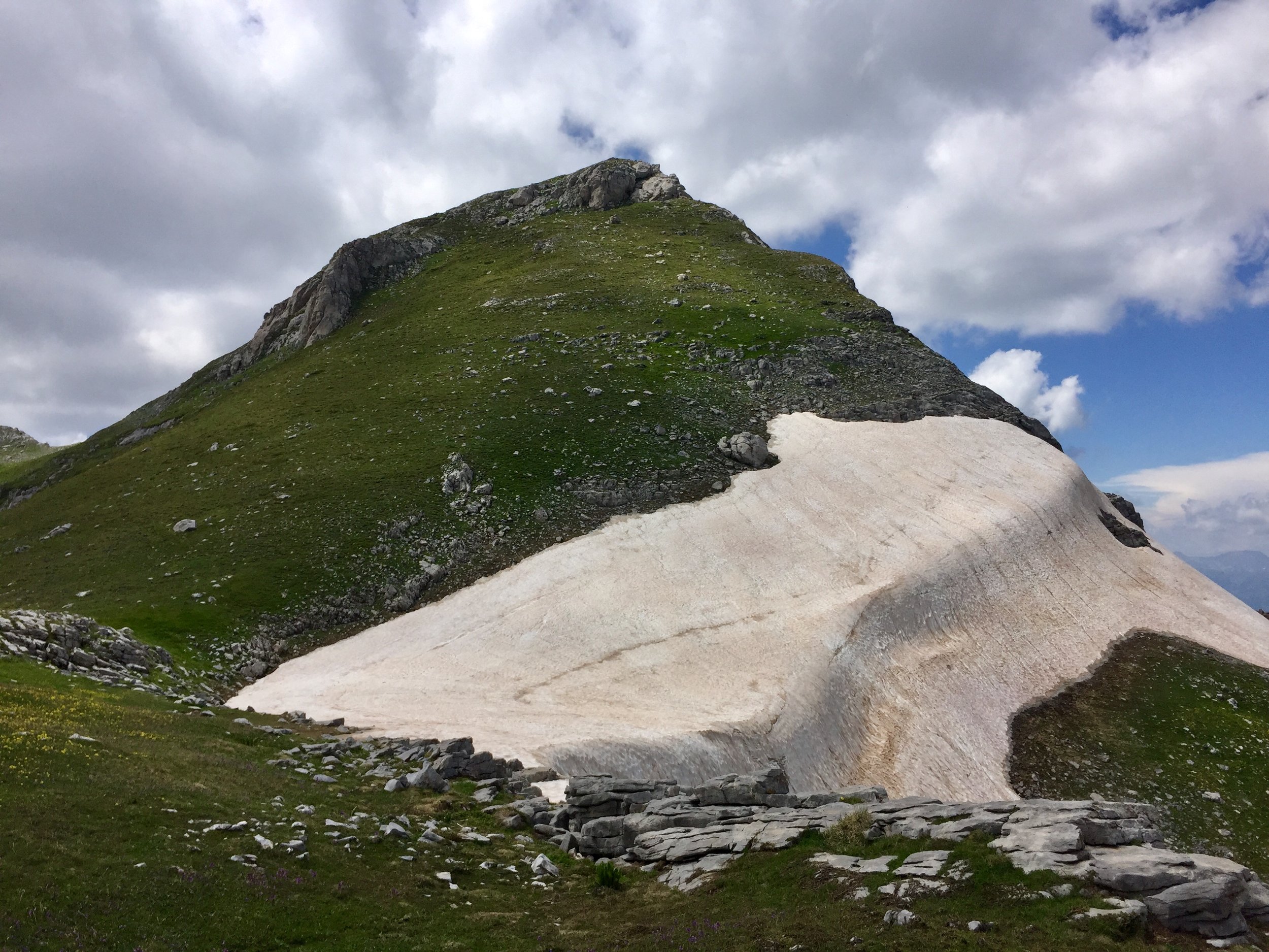
Day 4: Zla Kolata
Significance: Highest peak in Montenegro
Elevation: 2,564 m
Date climbed: July 4th 2018
Coordinates: 42.4850° N, 19.8972° E
Route Start / End: Point to point route from Çerem, Albania to wild campsite on south side of Zla Kolata
Route Distance: 17.1 km (10.6 miles)
Route Elevation Change: +1,457m / -1,148m. Net -309m
GPX File: get via Buy Me a Coffee
Web: https://en.wikipedia.org/wiki/Zla_Kolata
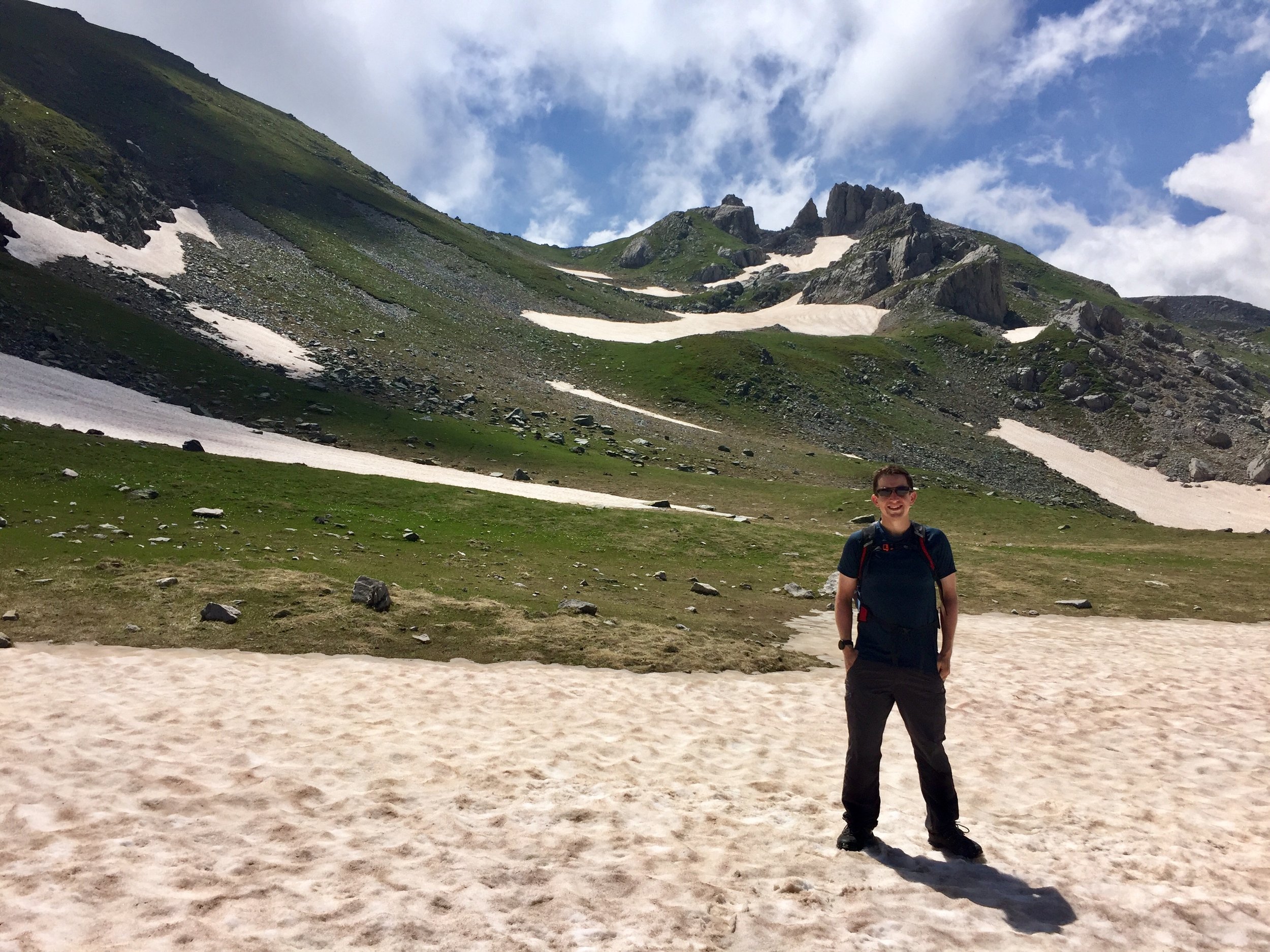
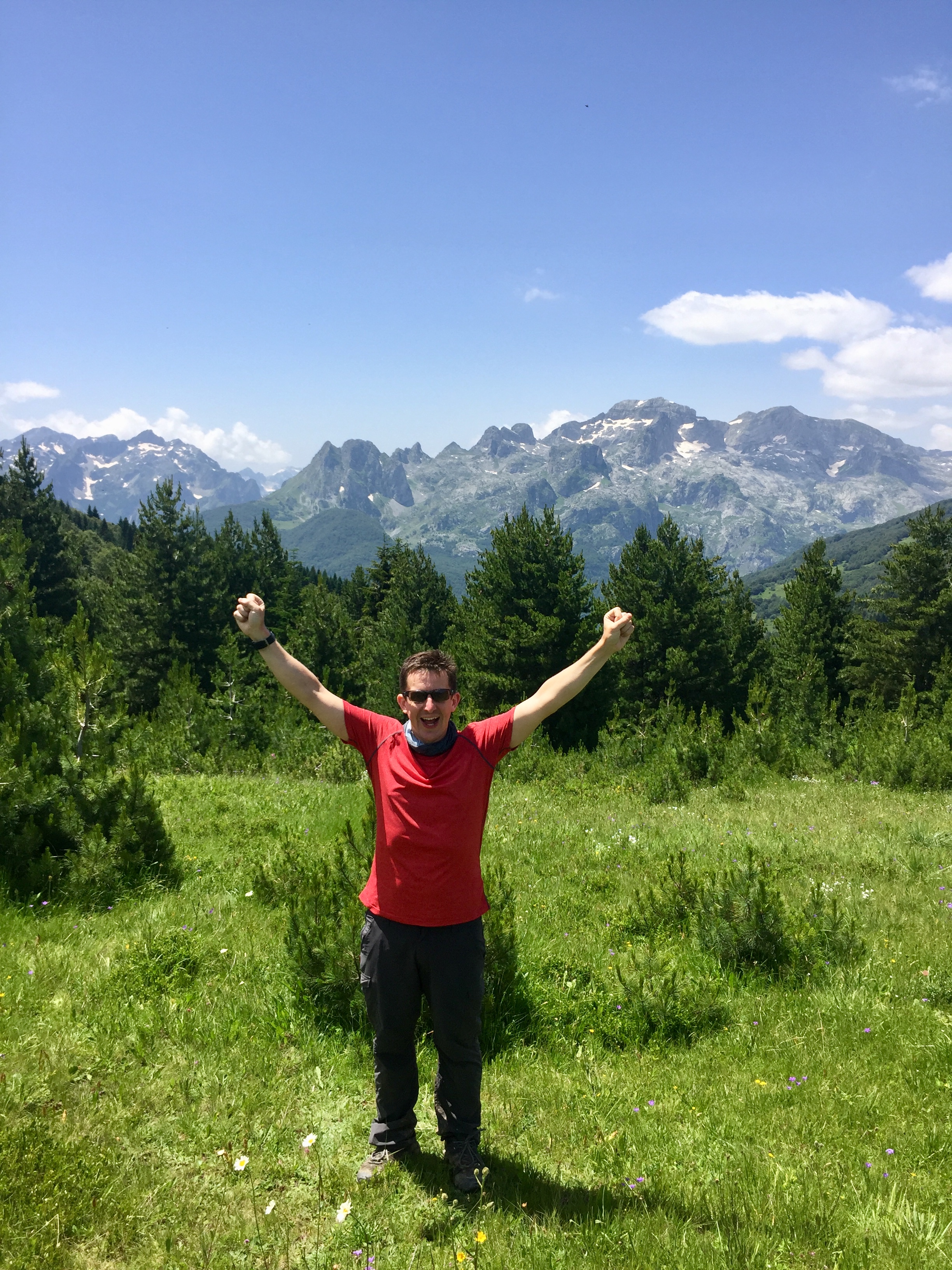
By avoiding the screening of the World Cup quarter final nonsense I managed to get an early night. It was just as well as the next day was epic. This was Zla Kolata, the High Point of Montenegro. It was a monster.
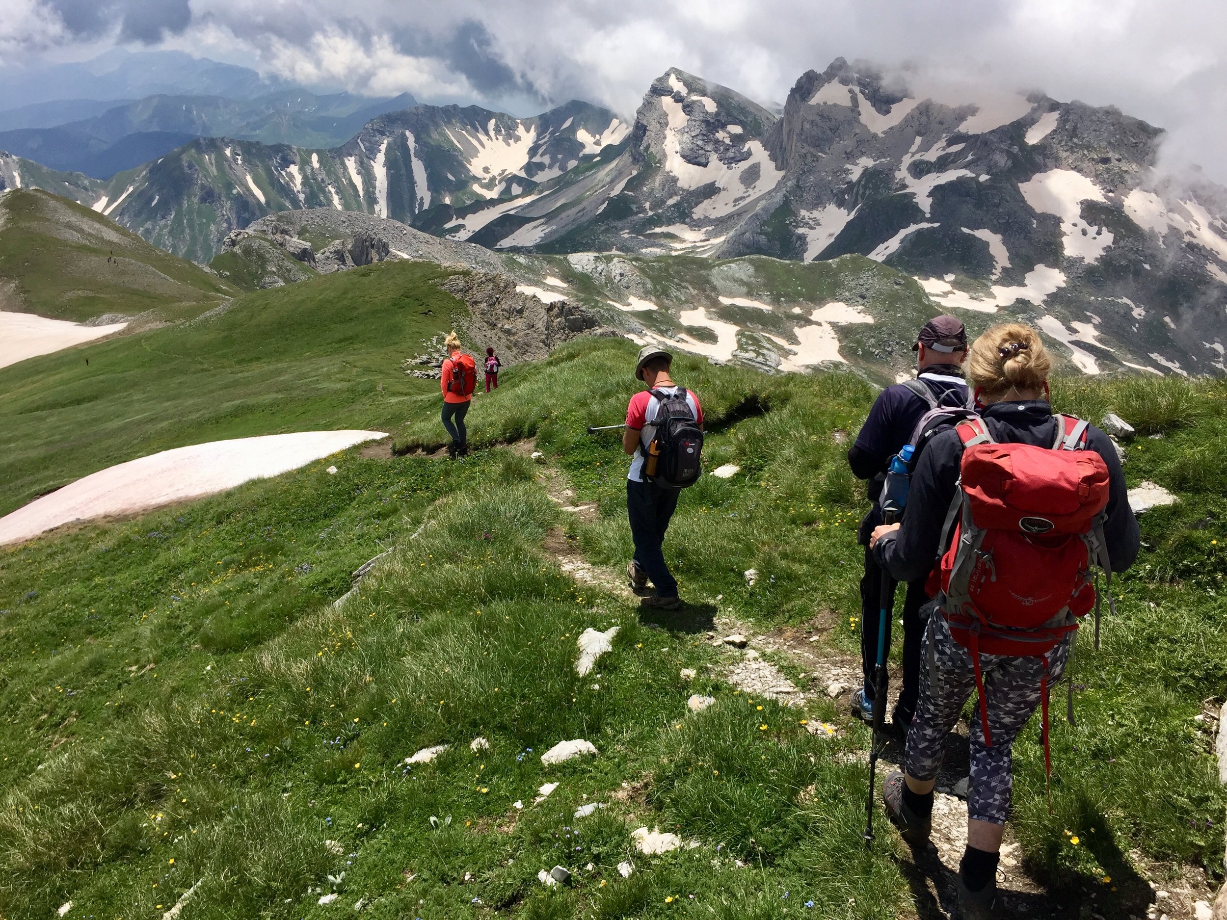
The morning was a nice ascent through forests and meadows up to pass on the Albania/Montenegro border. We stopped for an hour for lunch while Geri met up with 2 local guides who would help us on the summit climb. I spent much of that hour looking up at the ascent in fear. From there it all looked like sheer cliff faces and steep ice.
Most of the actual ascent was fine. Taking it step-by-step tends to be much less daunting than from a distance anyway. The tricky bit was not far from the top where the only passing point on an icy ridge was a thin, rocky ledge with a long drop below it. My slipping fear was kicking in but I pressed on, helped enormously by the local guides.
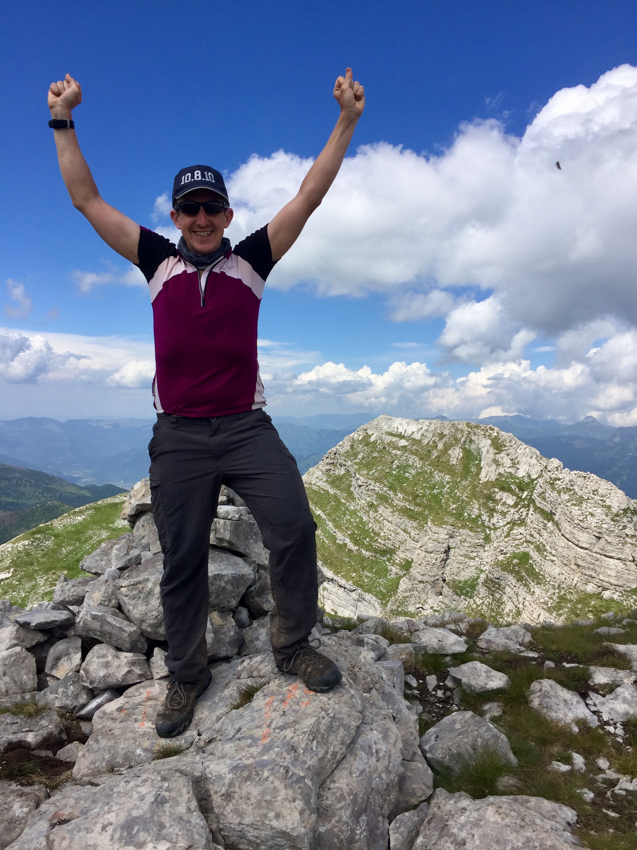
For the final push to the top we were down to 8, with 5 of the group having decided they had met their limits. The final 20 mins was a steep, but relatively easy and mostly grassy scramble to the summit. It was well worth the effort as we were rewarded by clear 360 degree views of both countries. It was a good competitor to Toubkhal for the best summit view I’ve had so far.
The descent to the pass was the same route, although several bits were tougher than I remembered on the way up. I held back to keep fellow trekker Stephen company. He had been struggling with his feet since the first day and was slowed down due to the pain of red raw toes. To be honest, I was also glad of the slower pace to take my time on the steep parts.
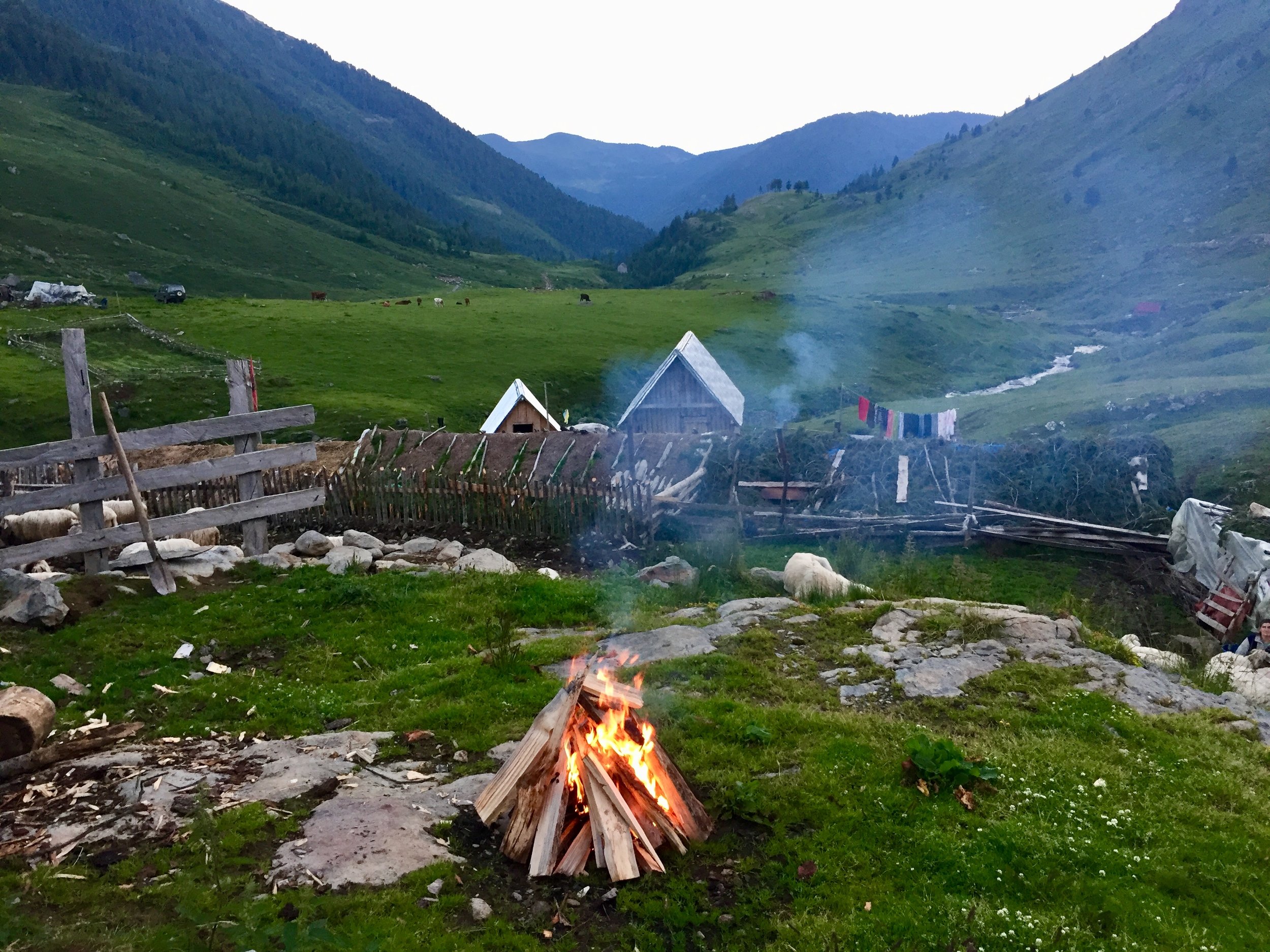
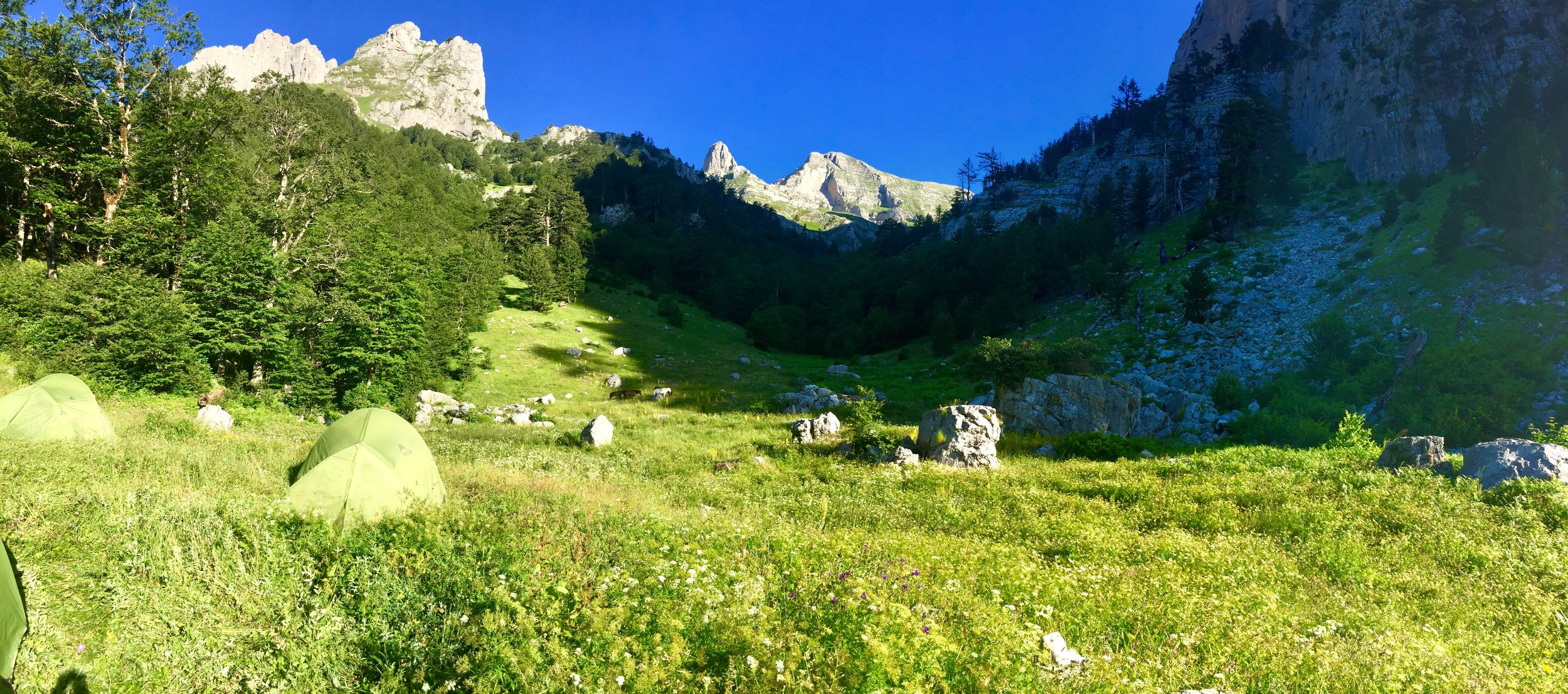
With no villages close to the mountain, we wild camped that night. I enjoyed the best night‘s sleep in a tent for many years. In the morning we left the camp site for the final descent to the Valbona Valley. It was a short day ending at a very nice guest house for some beer, rest, reading and a celebration on completing a challenging 3-country trek.
Day 5: Zla Kolata to Valbonë
Elevation: from 1,486m to 960m
Date walked: July 5th 2018
Route Start / End: Point to point route from wild camp site south of Zla Kolata to Valbonë, Albania
Route Distance: 11.2 km (7 miles)
Route Elevation Change: +424m / -962m. Net -538m
GPX File: get via Buy Me a Coffee
The final couple of days of the trip were more restful with a boat & bus transfer back to Tirana and some free time in the city. This trip was epic: a perfect combination of an awe-inspiring adventure, expert organisation and fantastic company. My first action after returning was to check the KE brochure for the next adventure....
LEFT: All 5 days: Mt Korab to the South East and Djerevica/Kolata trek to the centre North
ABOVE: Djerevica/Kolata from right to left. Green = Day 2: Djerevica, Blue = Day 3: plateau walk, Red = Day 4: Zla Kolata, Yellow = Day 5: Valbone descent