Roque Nublo and Pico de las Nieves, Gran Canaria

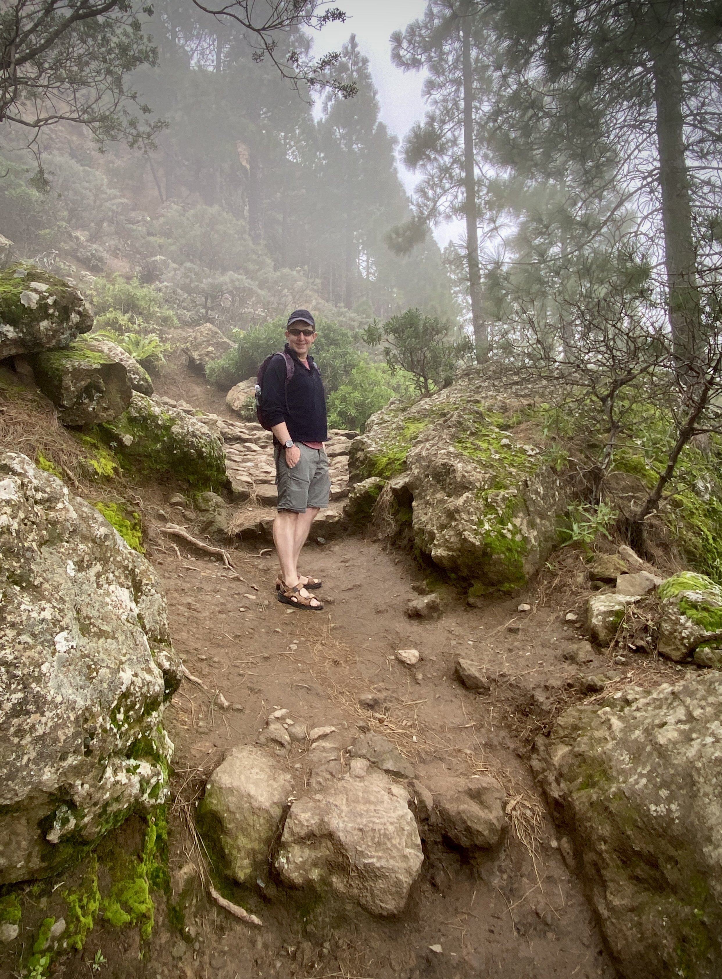
Ascent to Roque Nublo from La Goleta
While we were in Gran Canaria for a short winter break we escaped the coast for a day to head into the mountains. Our main destination was the high-point of the island, but there’s a lot of interesting places to stop along the way. As Camino enthusiasts we would have loved to have walked the 67 km Camino de Gran Canaria from Maspolomas to Galdar, but this was a relaxing holiday rather than an adventure. We got to see some of the Camino though as the road to the island high-point runs parallel to the southern half of the walking route. The Camino starts at the Faro (lighthouse) in Meloneras on the western side of Maspolomas and we had already visited it after a walk across the dunes on our first day.
For our roadtrip to the high-point we took the GC-60 north out of Maspolomas. There’s a few interesting places to stop along the way:
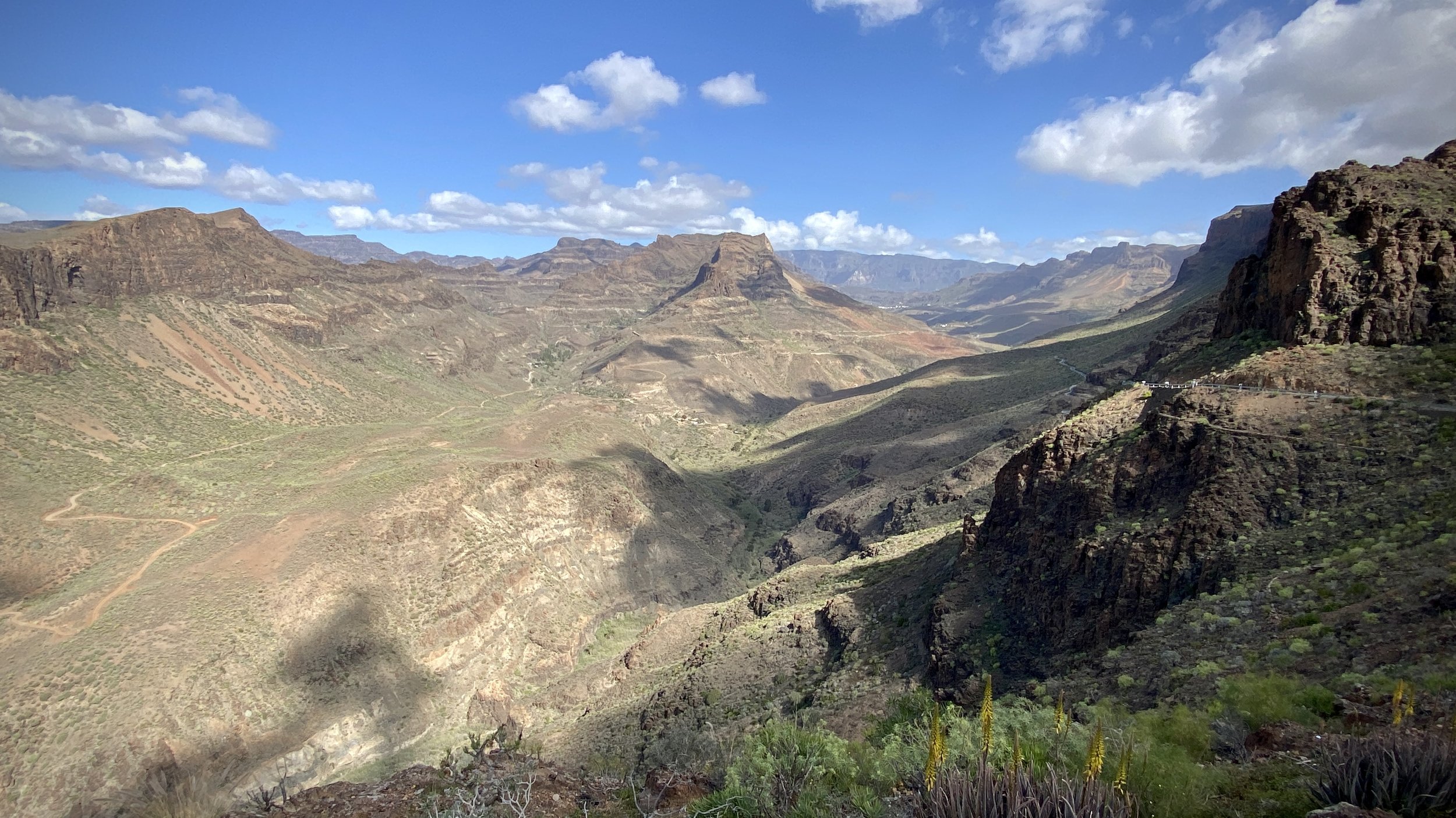

Mirador Astronómico de la Degollada de las Yeguas. 12km out from Maspolomas, this is a viewpoint with amazing view both back to the coast and of the Barranco de Fataga. It is situated at an altitude of 1,480 meters, making it one of the best places on the island to observe the stars and the night sky.
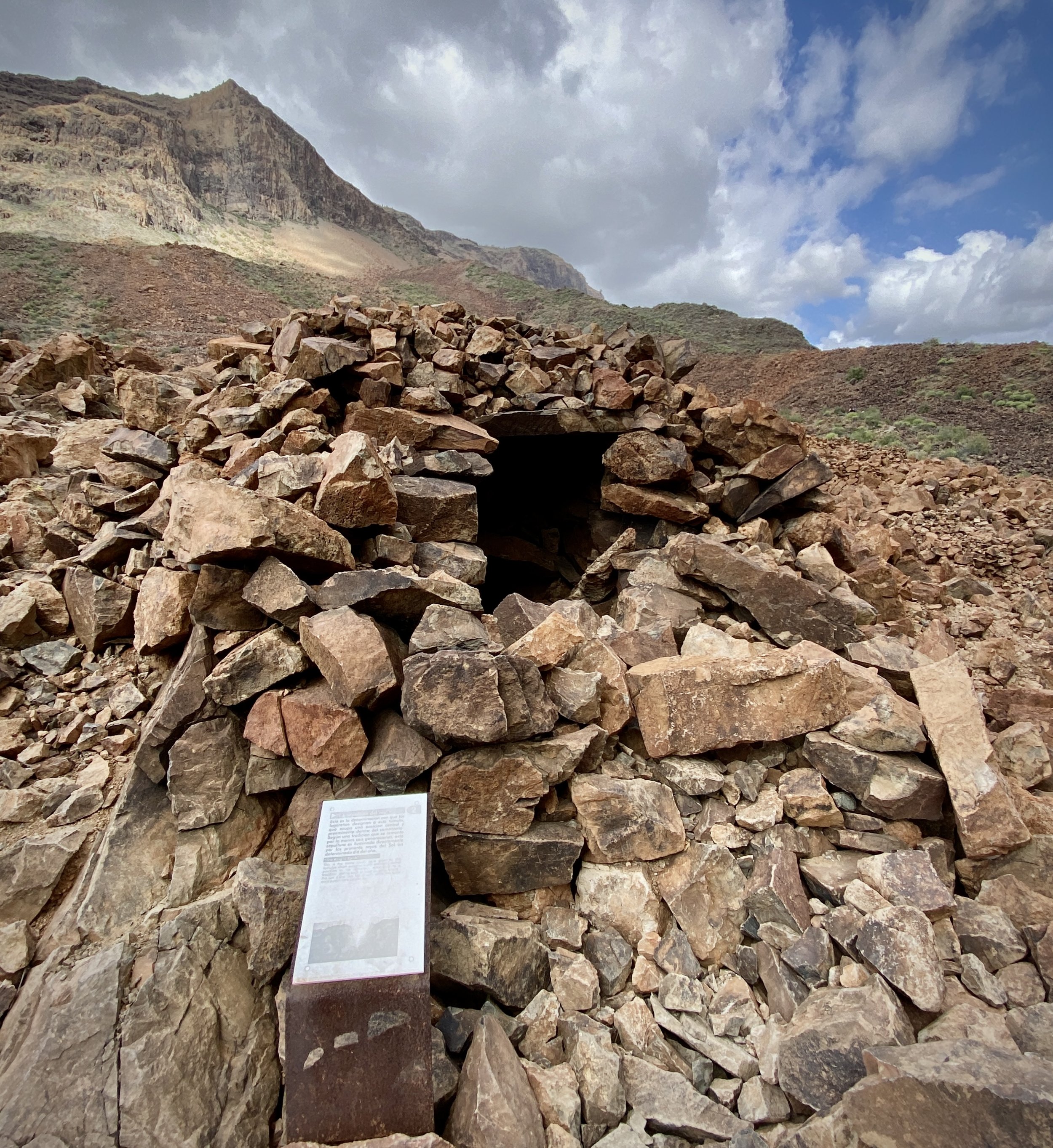
Necrópolis de Arteara. 16km out from Maspolomas, this is an ancient burial site considered one of the most important pre-Hispanic archaeological sites in the Canary Islands. The site consists of over 900 tombs that were used by the Guanches, the aboriginal people of the Canary Islands. The tombs are arranged in a circular pattern and are made of stone slabs and boulders.
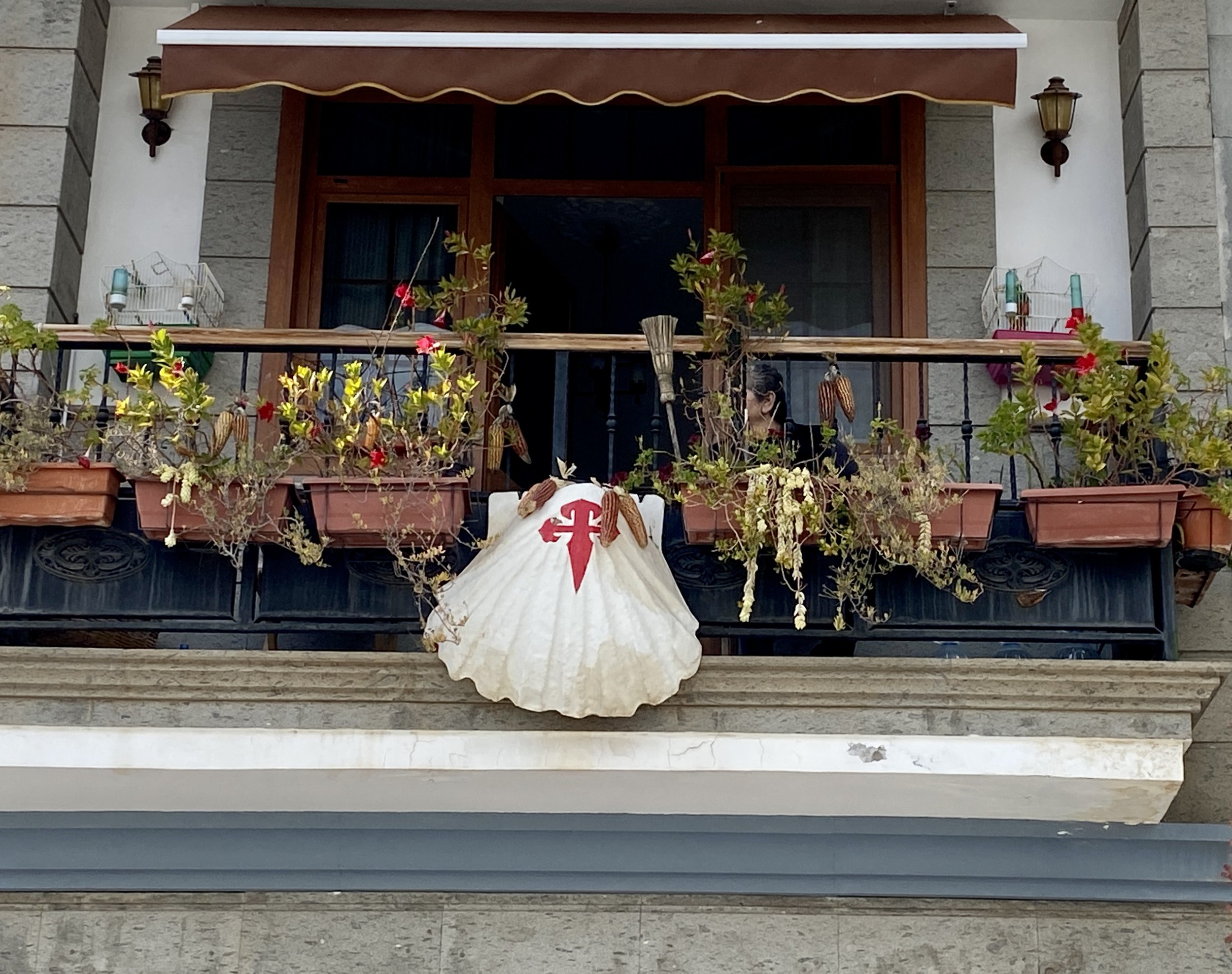
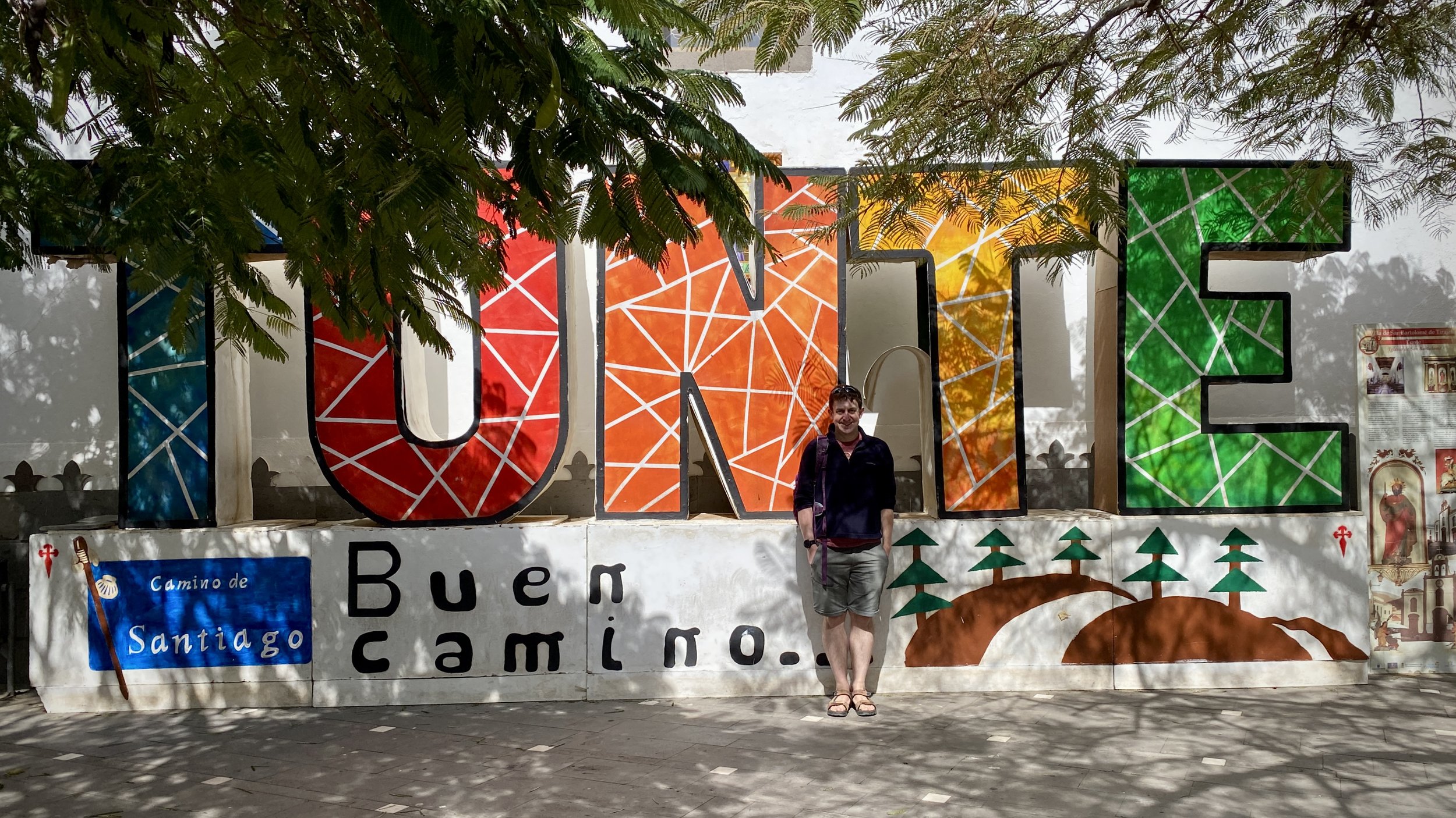
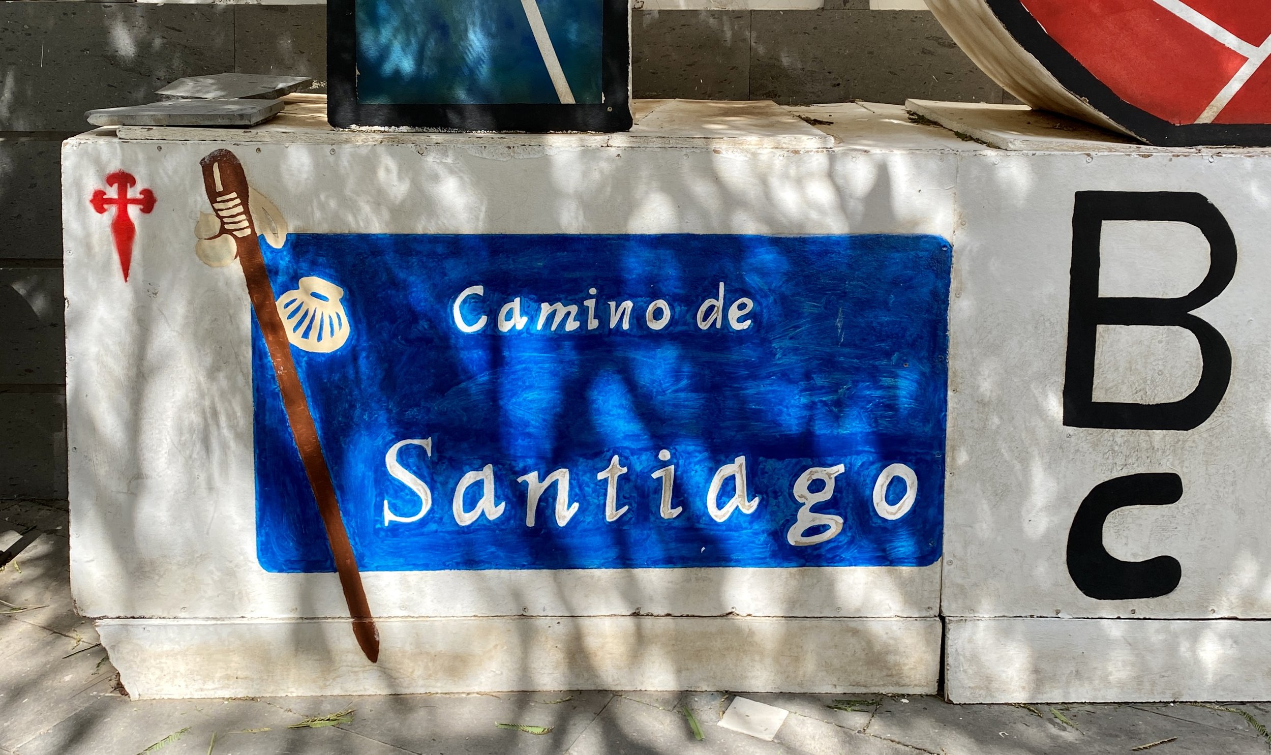
San Bartolomé de Tirajana. 16km out from Maspolomas, this is a pretty village in the mountains that’s a great place to stop for lunch on the trip. Don’t miss the Tunte Catholic Church (Iglesia San Bartolomé), a natural stop on the Camino route.
Roque Nublo
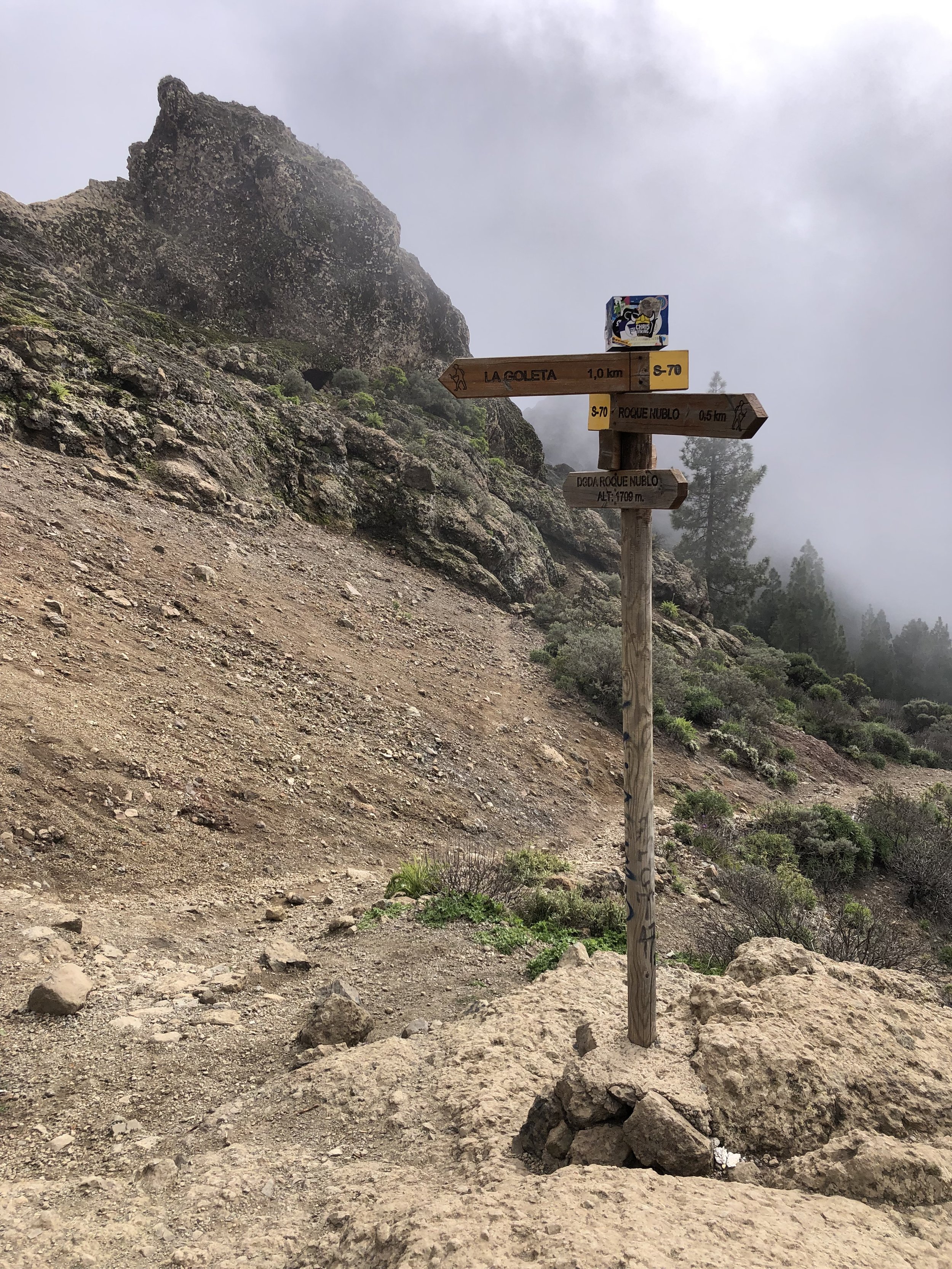
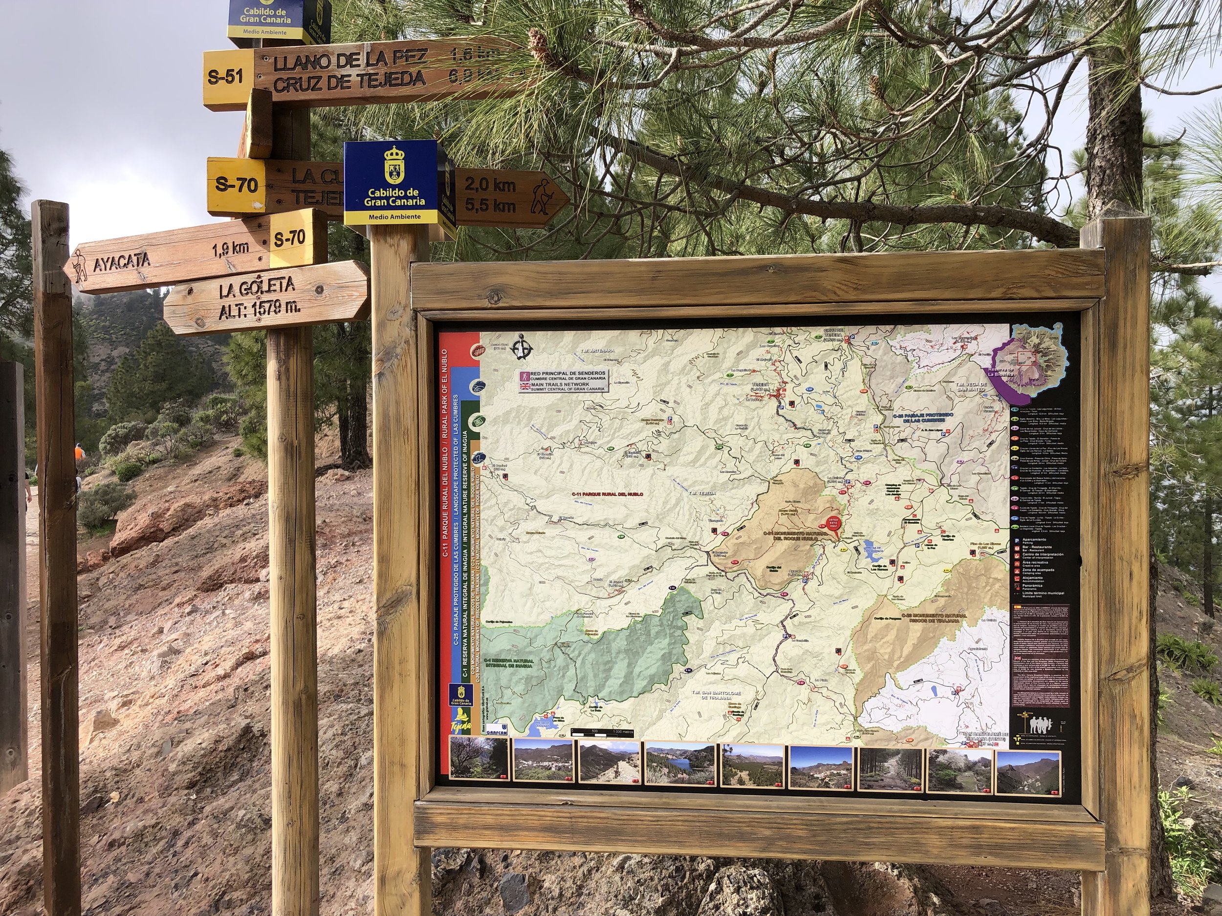
Start / Finish: Roque Nublo Trailhead, GC-600, 35299 San Bartolomé de Tirajana, Las Palmas
Distance: 3.1 km (1.9 miles)
Elevation Change: +/- 151m
GPX File: get via Buy Me a Coffee
Other Routes Touched (walk): Route is along the S-70. Crosses the S-51 at the trailhead
Cafe / pub on route: Food van at trailhead by the road.
Map: Gran Canaria Tour and Trail Super-Durable Map
Guidebook: Walking on Gran Canaria: 45 day walks including five days on the GR131 coast-to-coast route (Cicerone Walking Guides)
Links: Roque Nublo, Tejeda
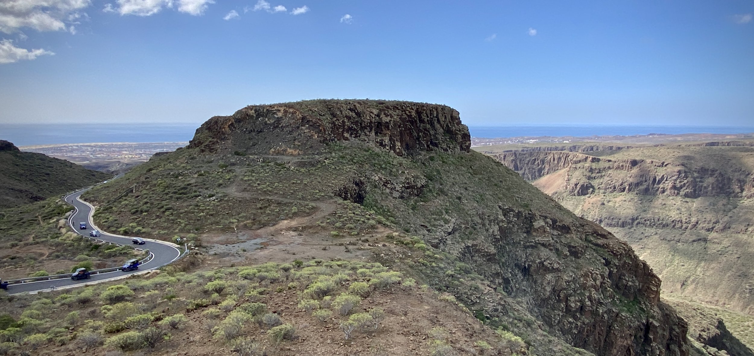
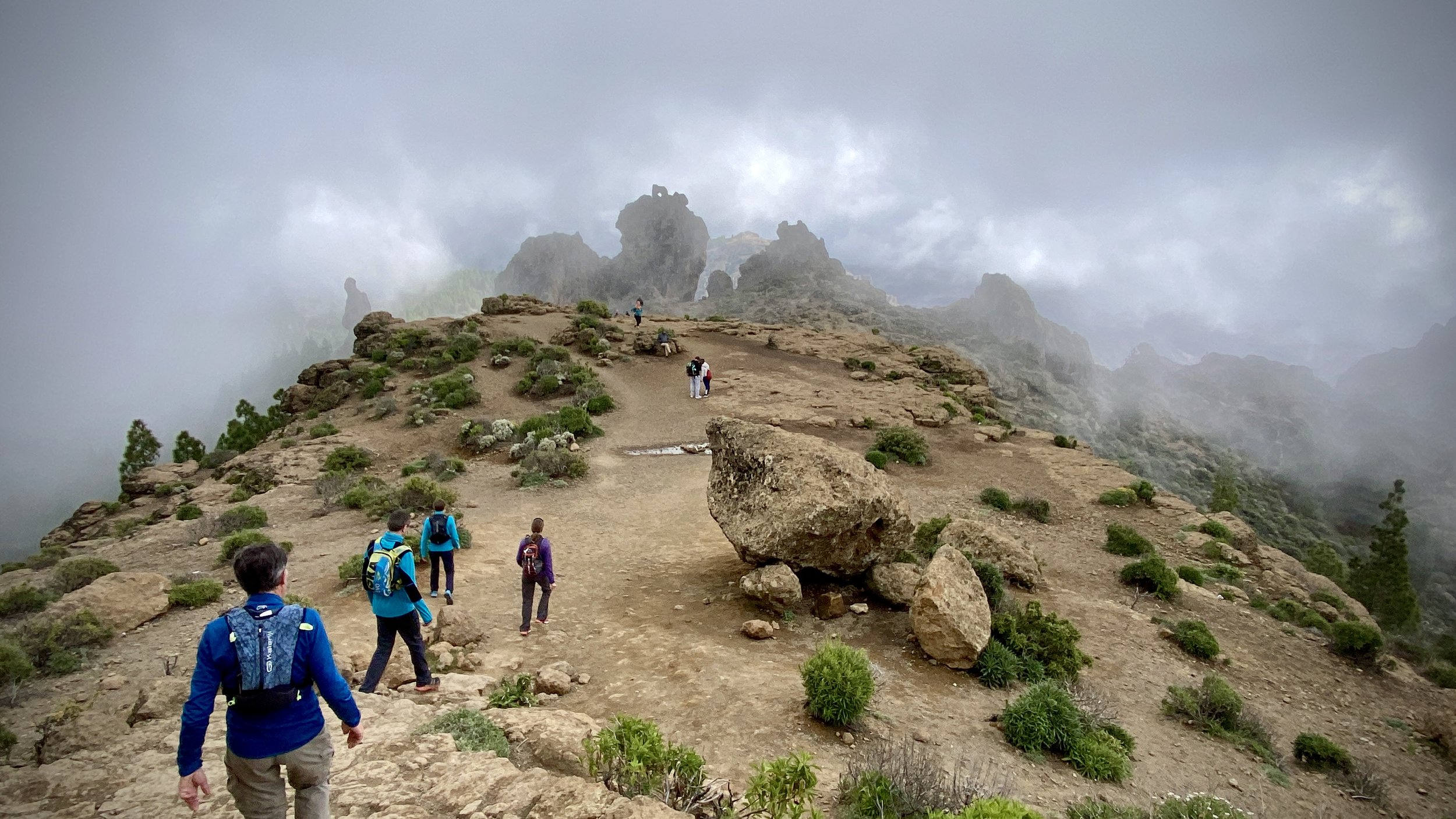
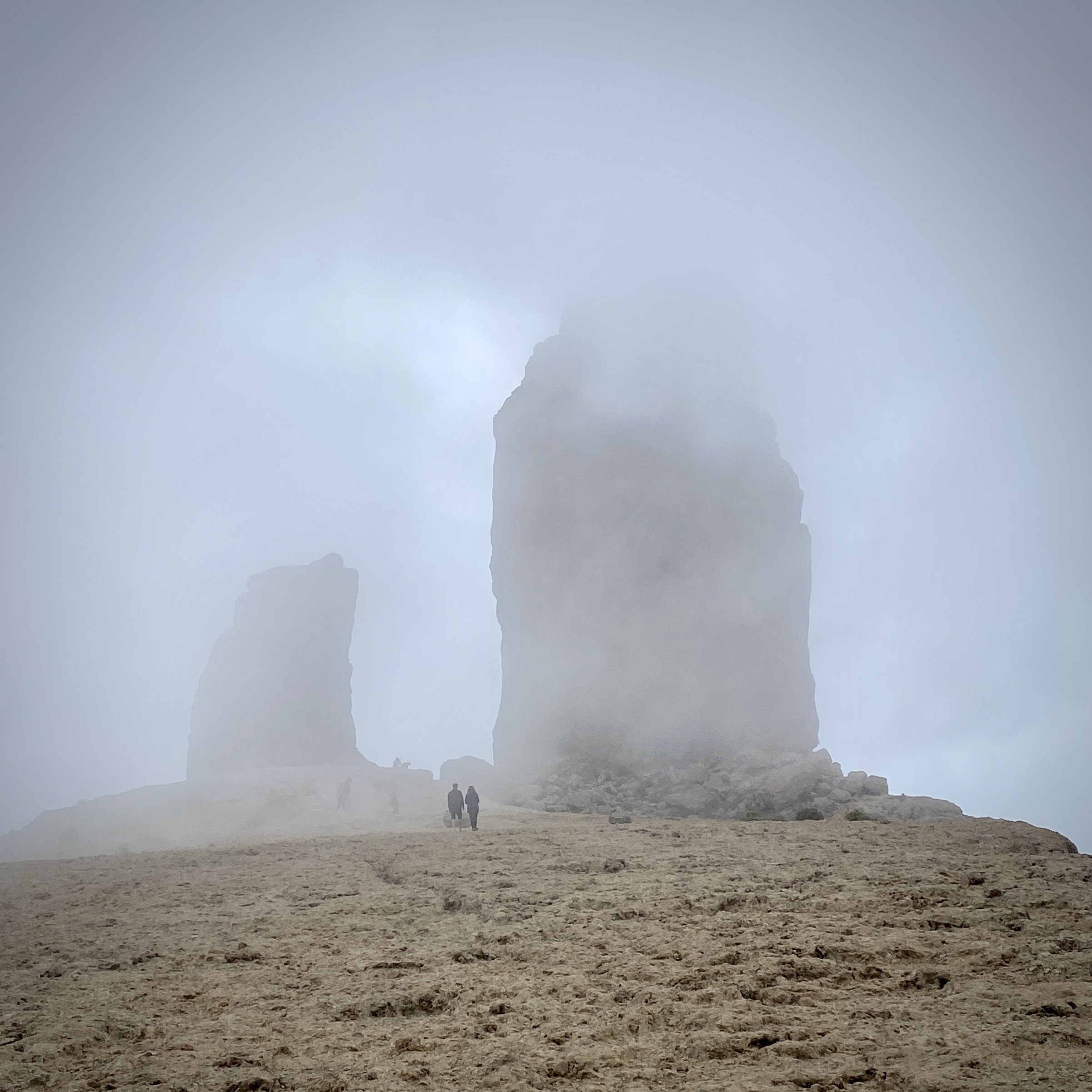
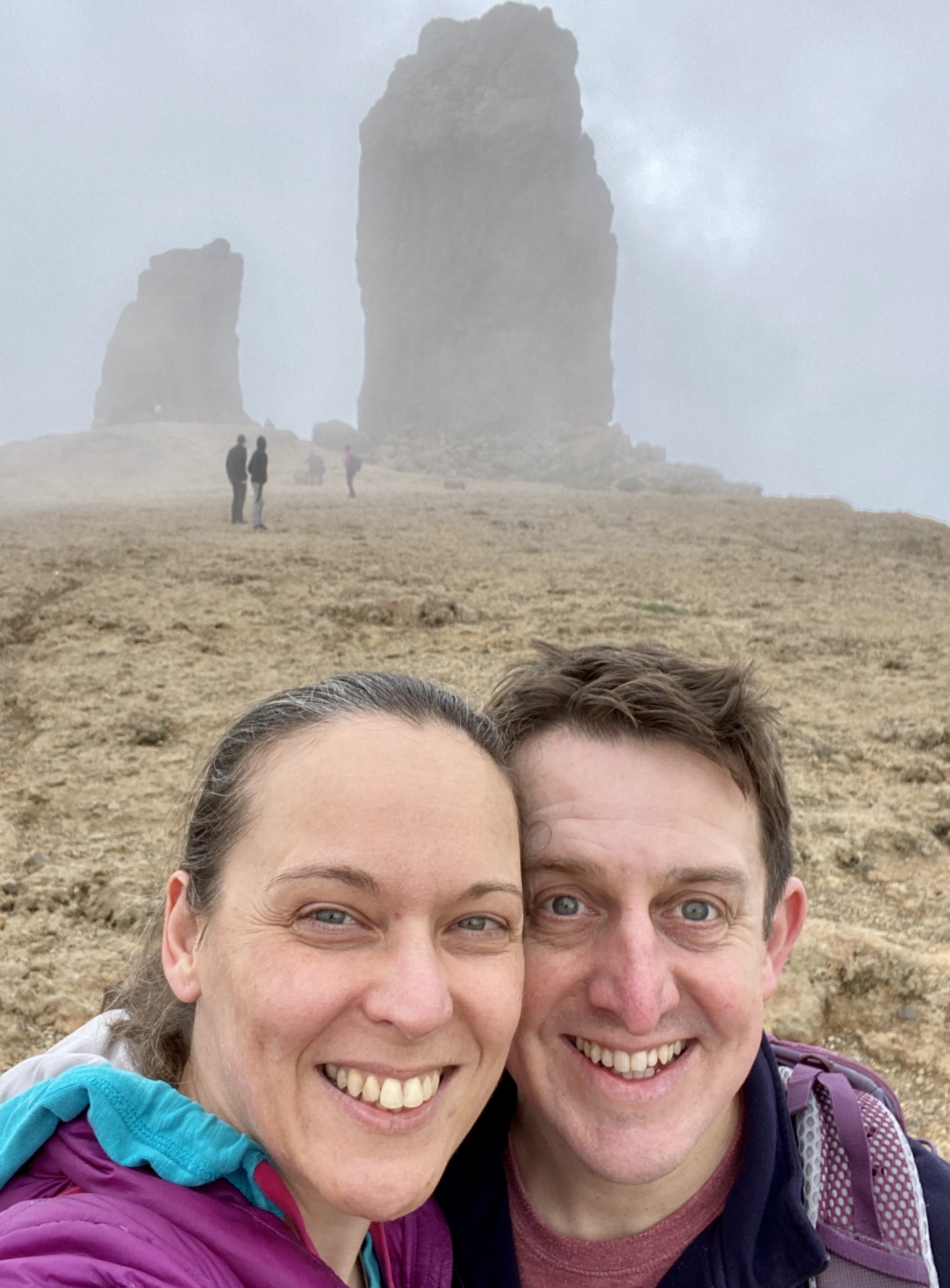
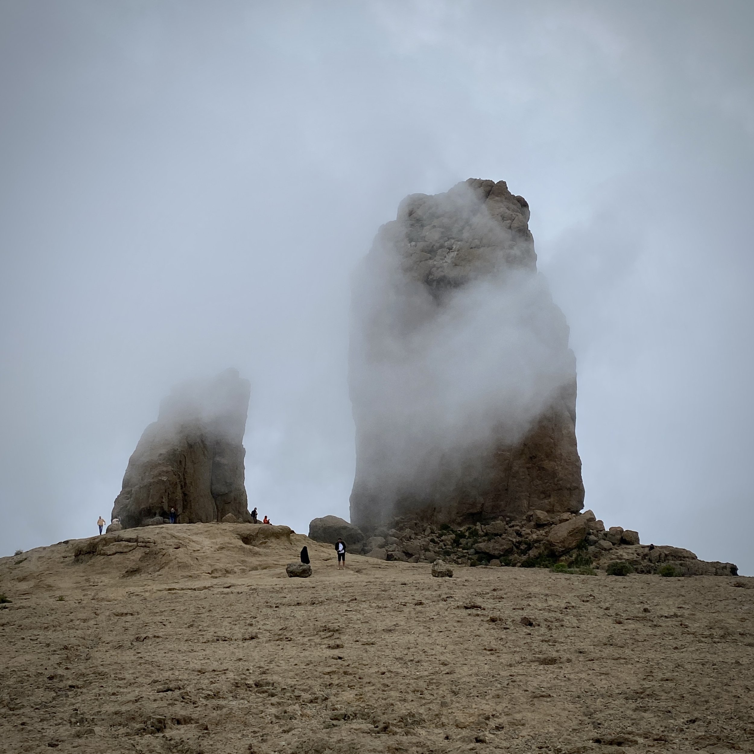
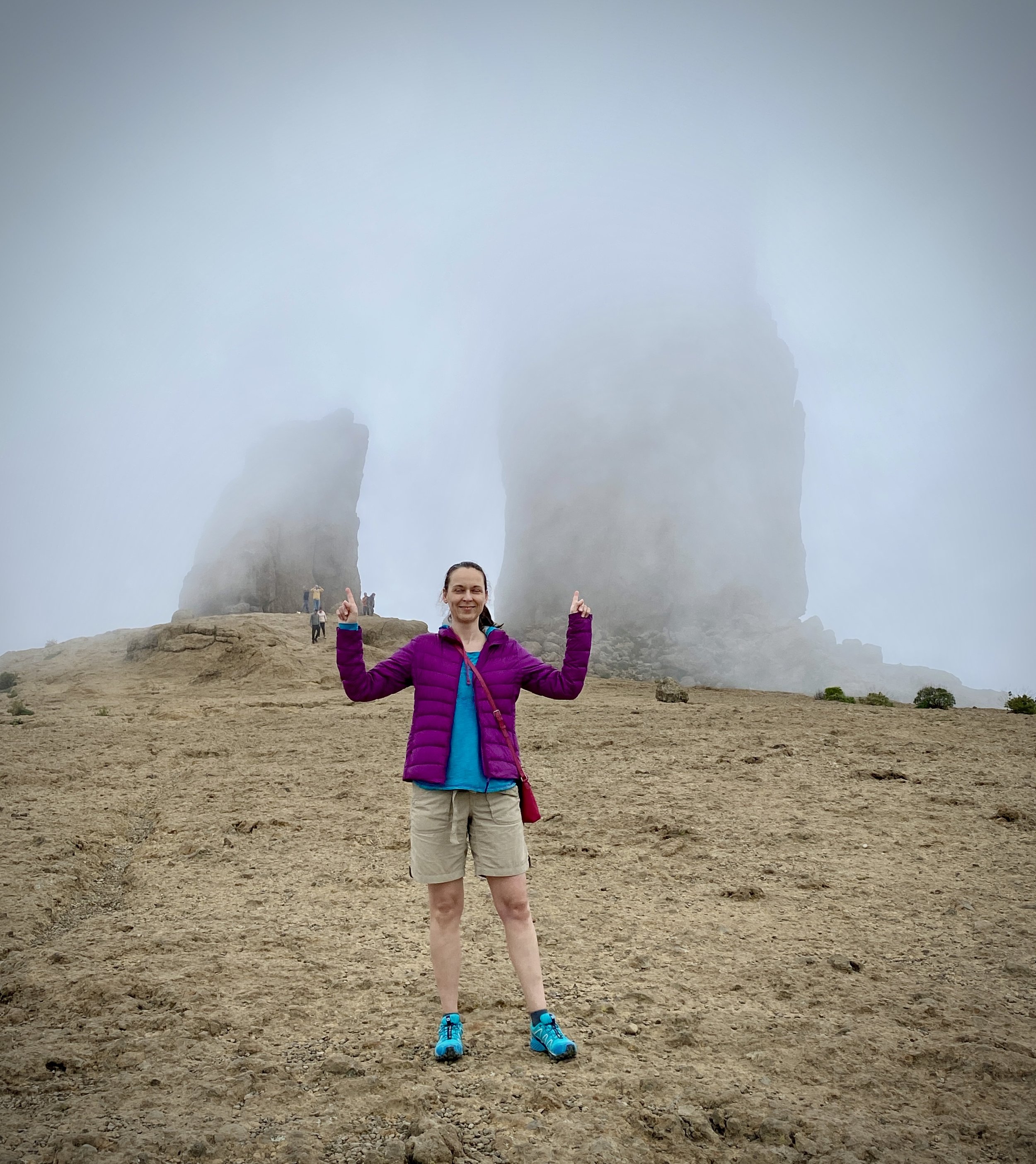
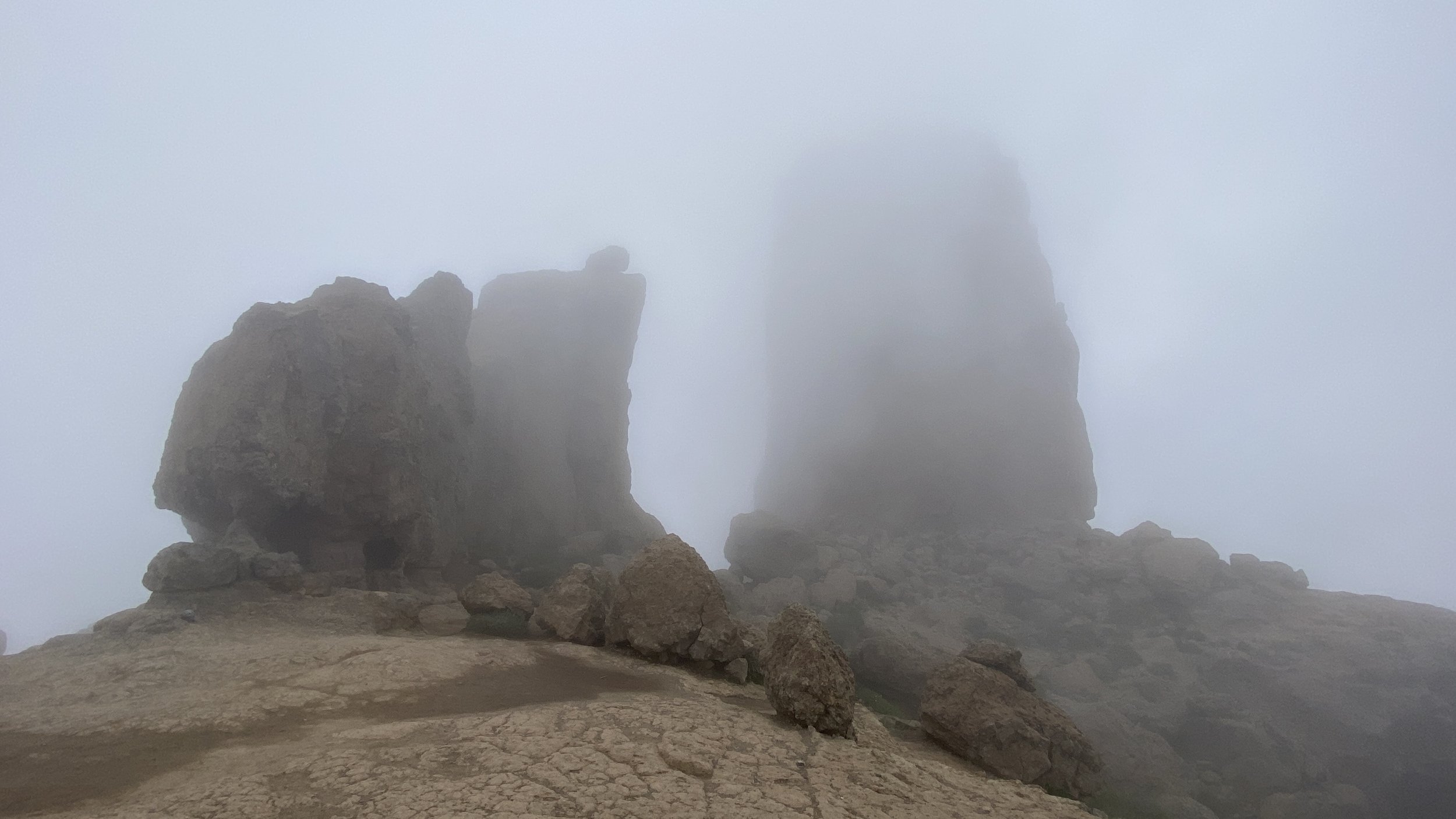
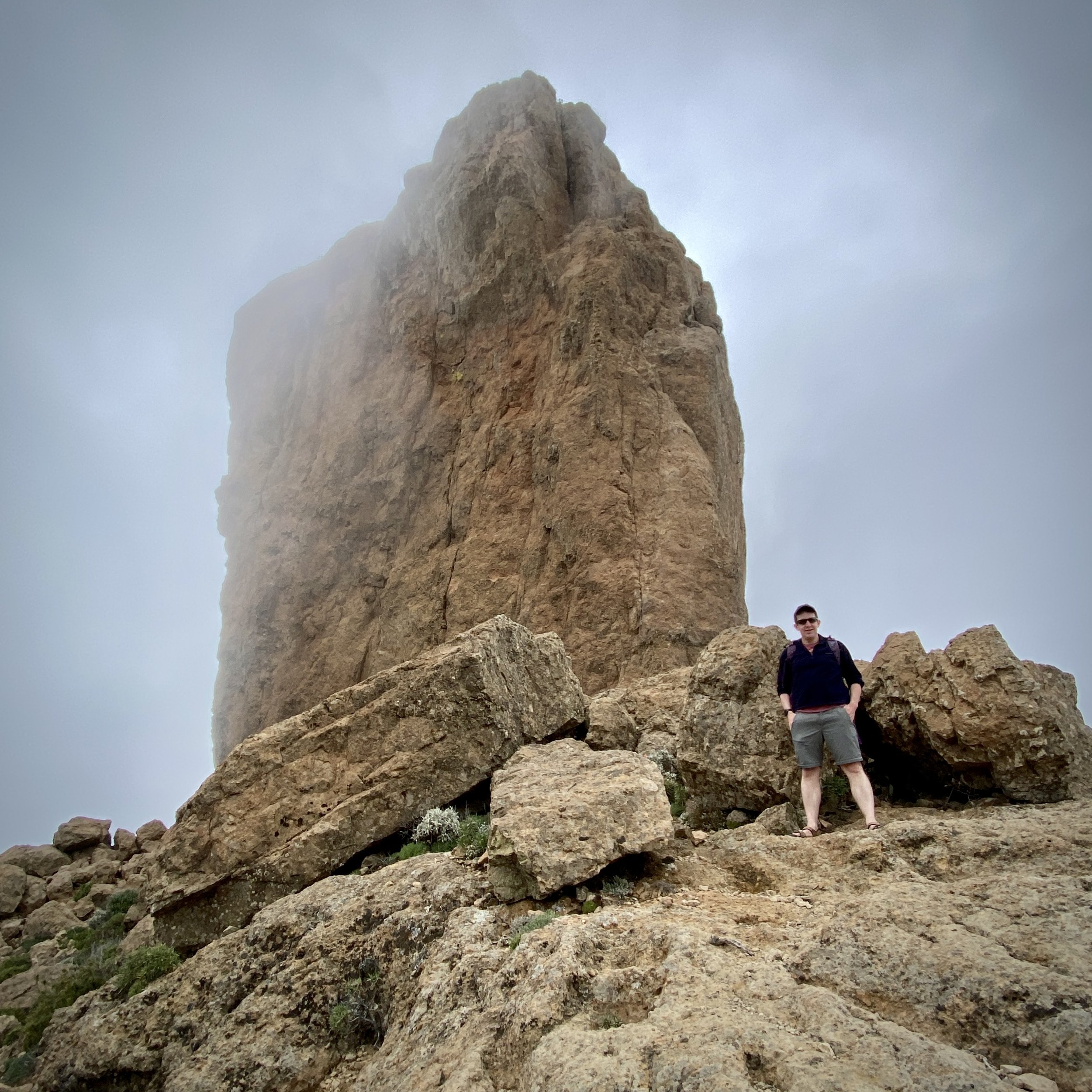
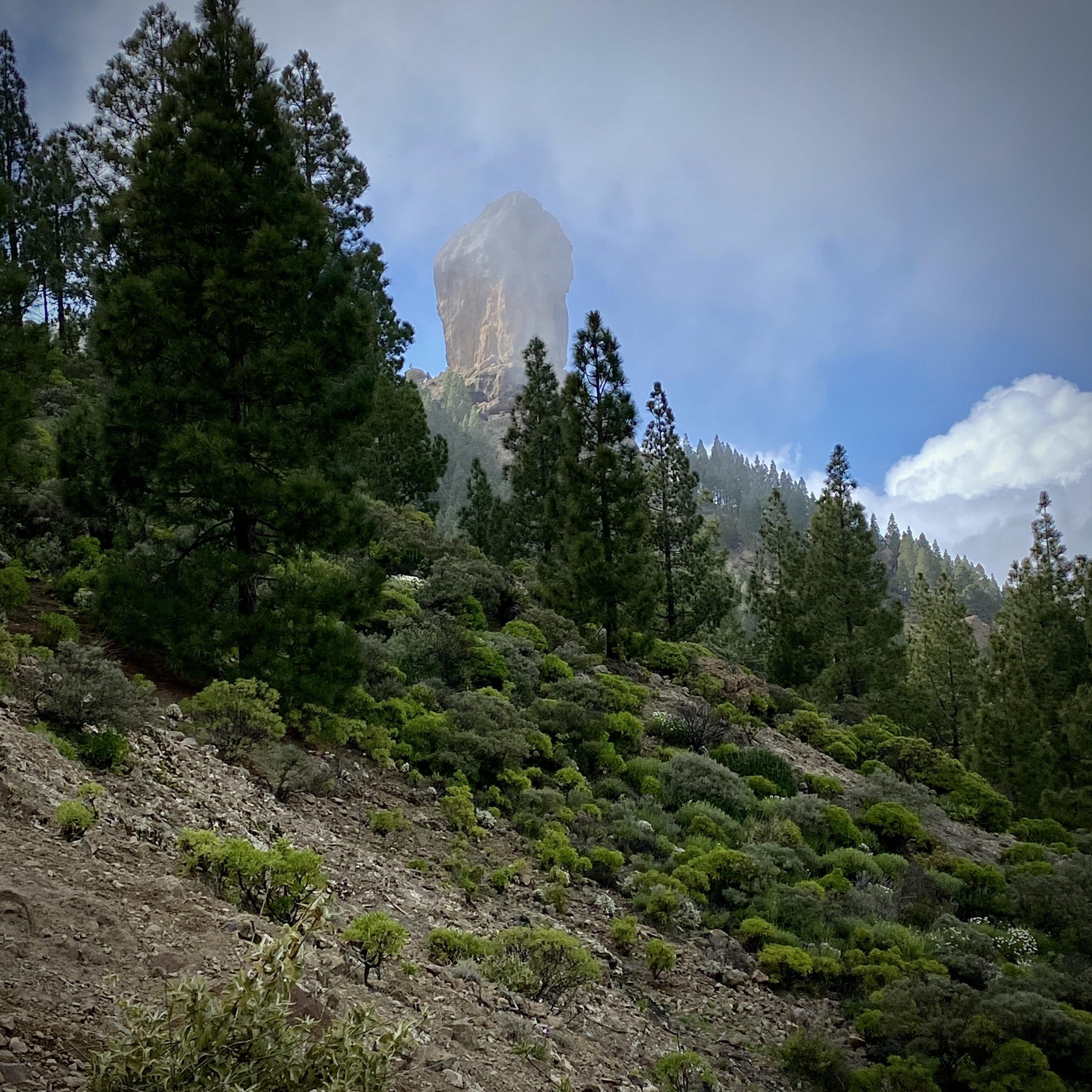
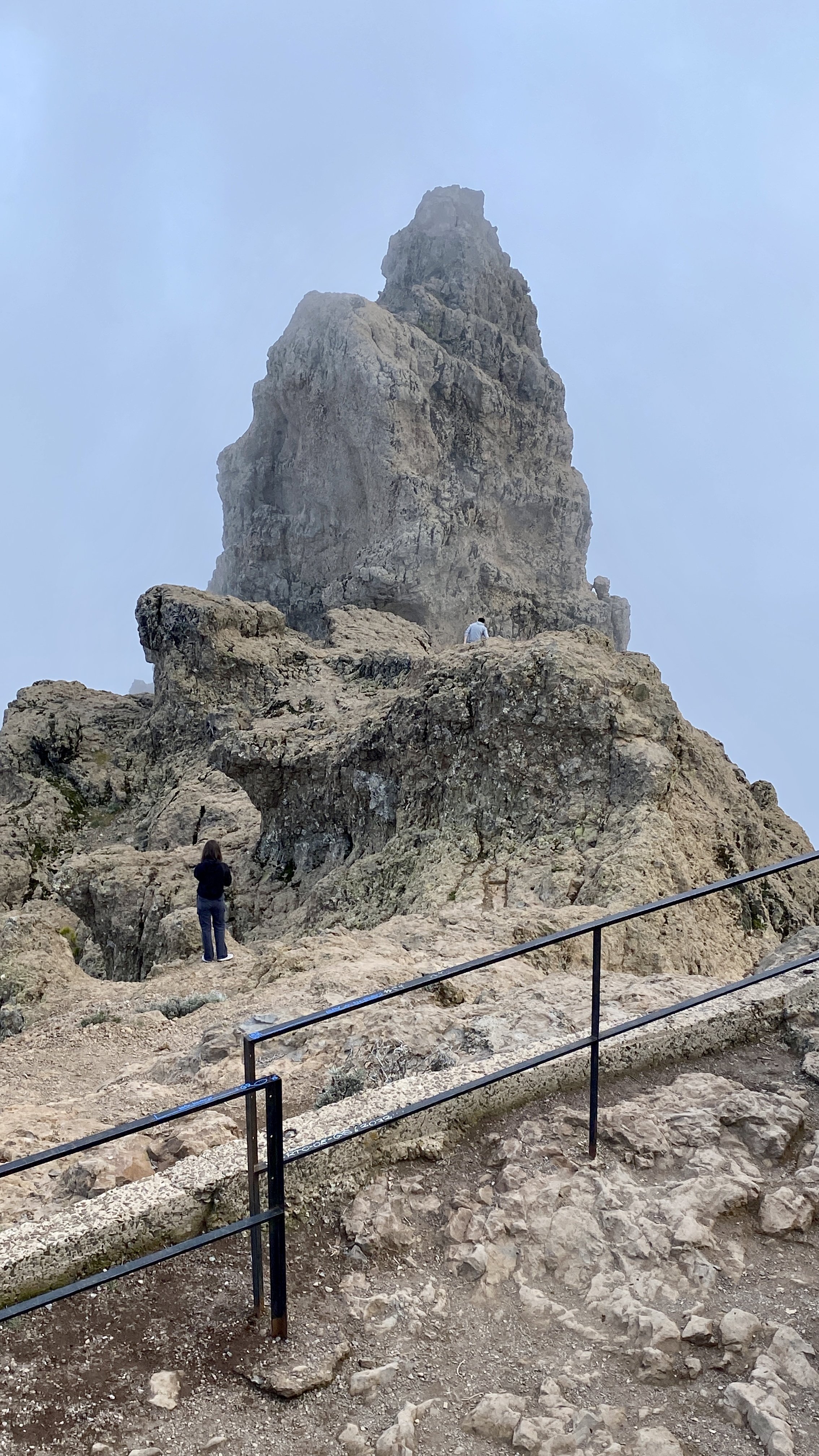
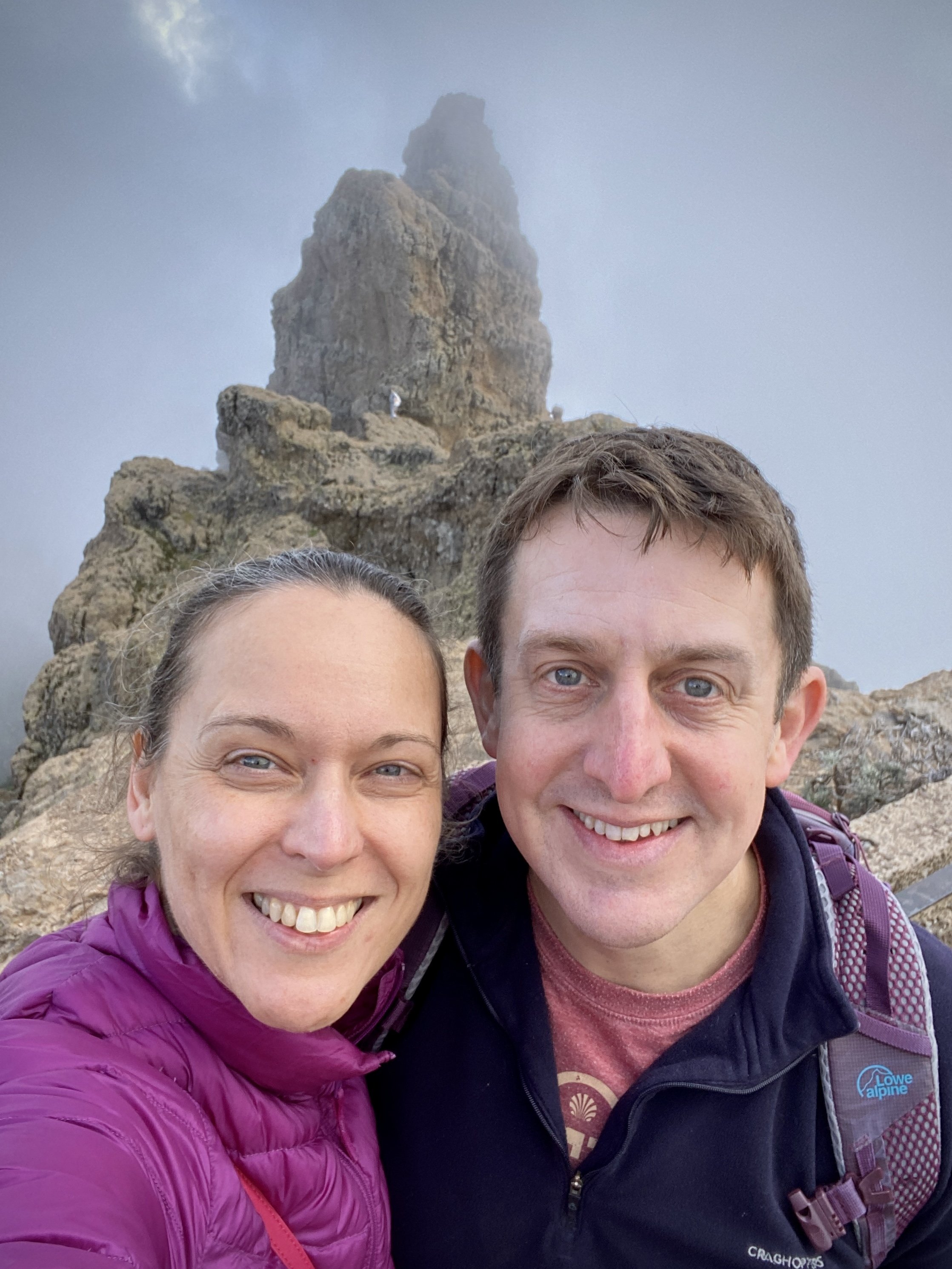
42 km out from Maspolomas, this is a famous volcanic rock formation located in the centre of the island. It stands at an impressive height of 80 meters and is a popular attraction for visitors to the island. Roque Nublo is a volcanic formation that dates back millions of years and is considered a sacred site by the aboriginal people of the Canary Islands, the Guanches.
The top Roque Nublo is the third altitude of the island of Gran Canaria, although accessing the summit requires rock climbing. For the rest of us the 2 mile oute-and-back walk from the parking spot on the GC600 is spectacular enough.


Pico de las Nieves
Also known as: Los Pechos
Significance: 2nd highest peak on Gran Canaria
Elevation: 1,951m
Date “climbed”: 20th February 2023
Coordinates: 27° 57' 43'' N, 15° 34' 18'' W
Start / Finish: Parking at Pico de los Pozos viewpoint, 35299 Gran Canaria
Distance: 0.1 km (0.1 miles)
Elevation Change: +/- 2m
GPX File: get via Buy Me a Coffee
Other Routes Touched (walk): S-20, S-37 and S-50
Cafe / pub on route: Food van in car-park.
Map: Gran Canaria Tour and Trail Super-Durable Map
Guidebook: Walking on Gran Canaria: 45 day walks including five days on the GR131 coast-to-coast route (Cicerone Walking Guides)
Links: Pico de las Nieves, Morro de la Agujereada, Province of Las Palmas, Peakbagger: Pico de las Nieves
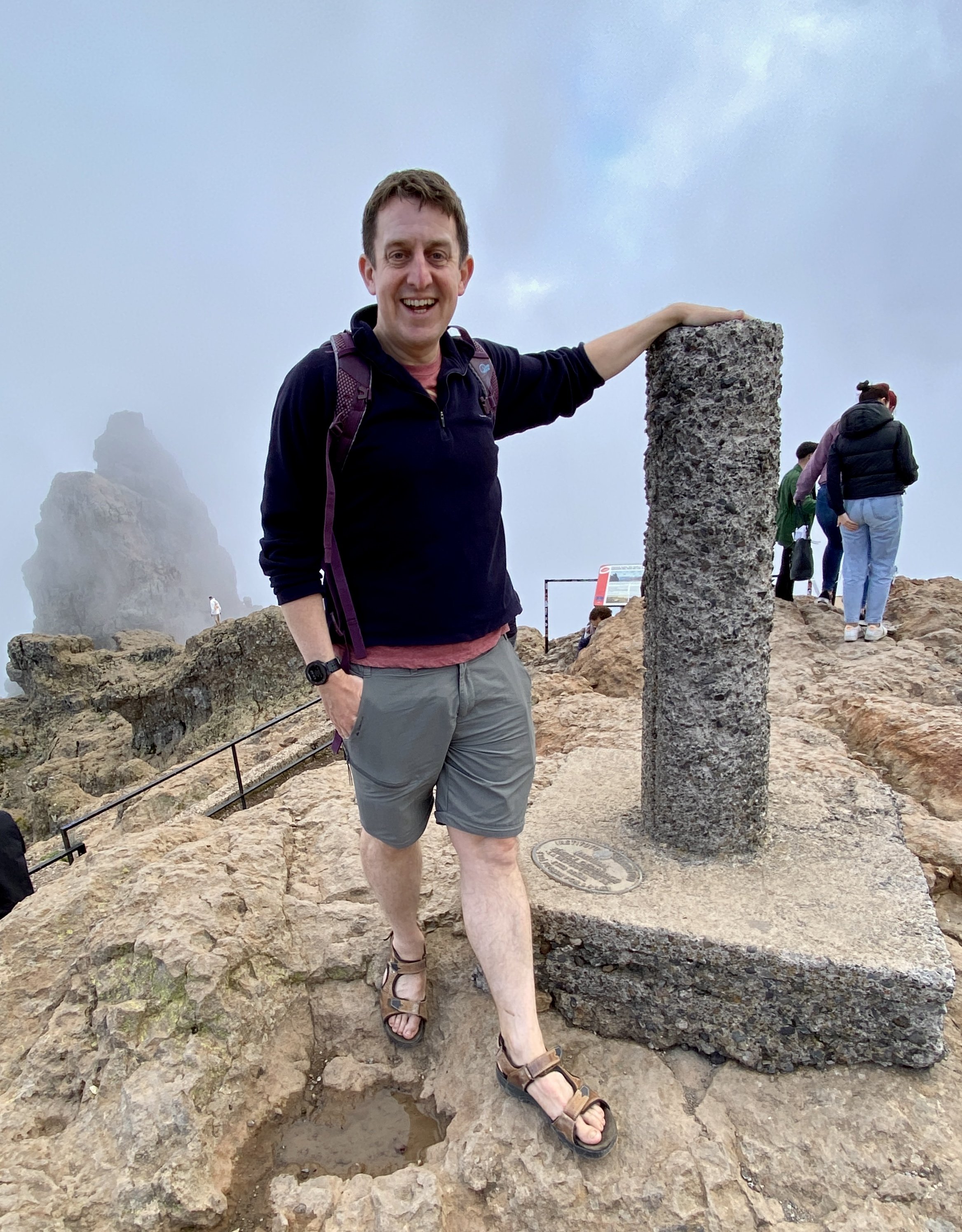


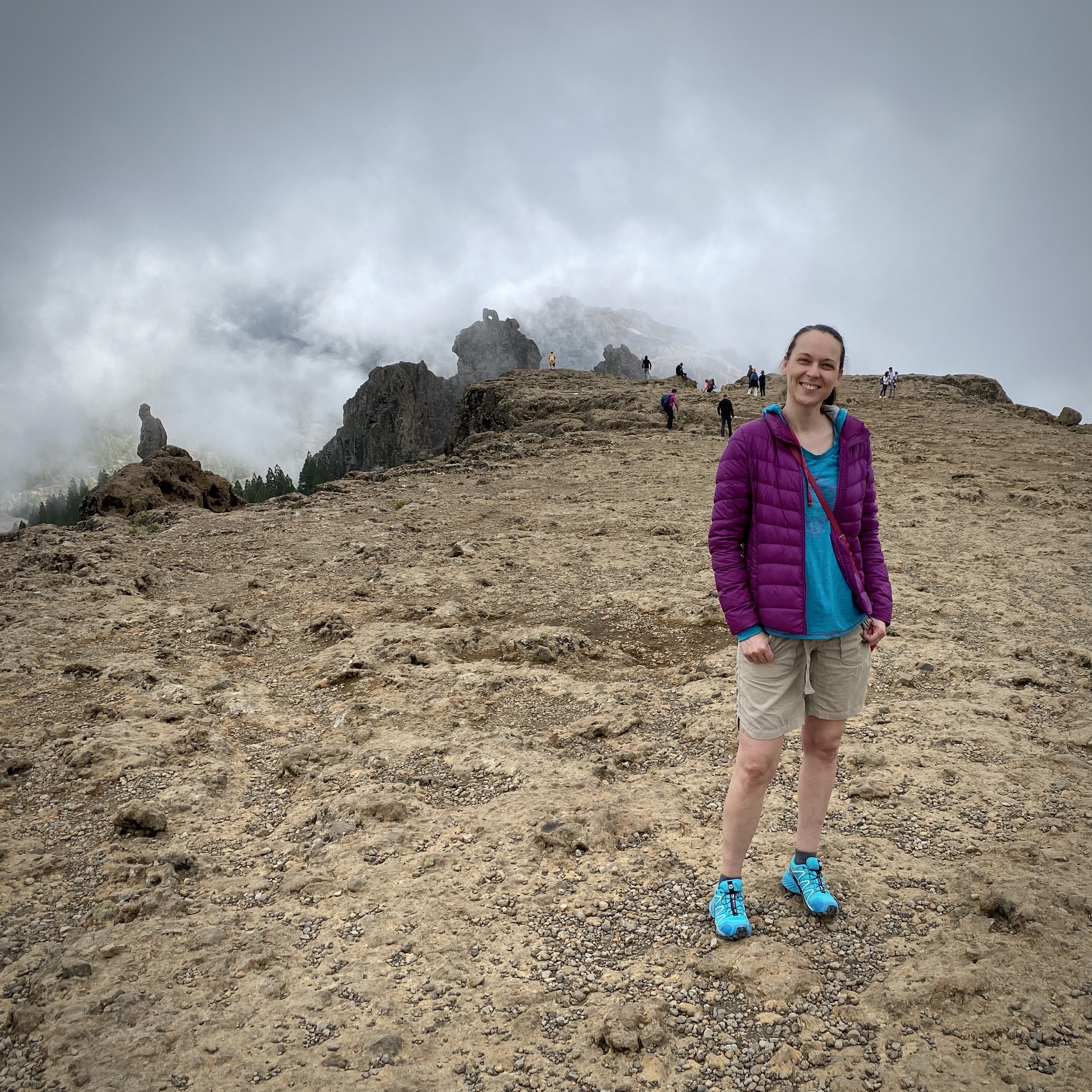
50 km out from Maspolomas, Pico de las Nieves was the main attraction for our day in the mountains. The summit was considered the highest peak on the island, and it was the high point that I found on my initial research about the island. It’s actually the 2nd highest peak of Gran Canaria, behind the neighboring Morro de la Agujereada (at 1,956m).
You can access the summit as a quick drive-by as there’s a road to a car-park very close to the top. From the car-park it’s a short climb up some steps to the stone pillar that marks the summit.
When you look across to Morro de la Agujereada it’s a wonder how anyone would have thought that Pico de las Nieves was higher. As much as I would have loved to have summited the real high point, it’s another one, like Roque Nublo, for the rock climbers.
To return to Maspolomas by car from Pico de las Nieves, continue east along the GC-130 then take the GC-120 from Cazadores towards the Airport. Take the GC-1 south to Maspolomas. Total driving time approx 1 hour.