Walking The Mole Gap Trail

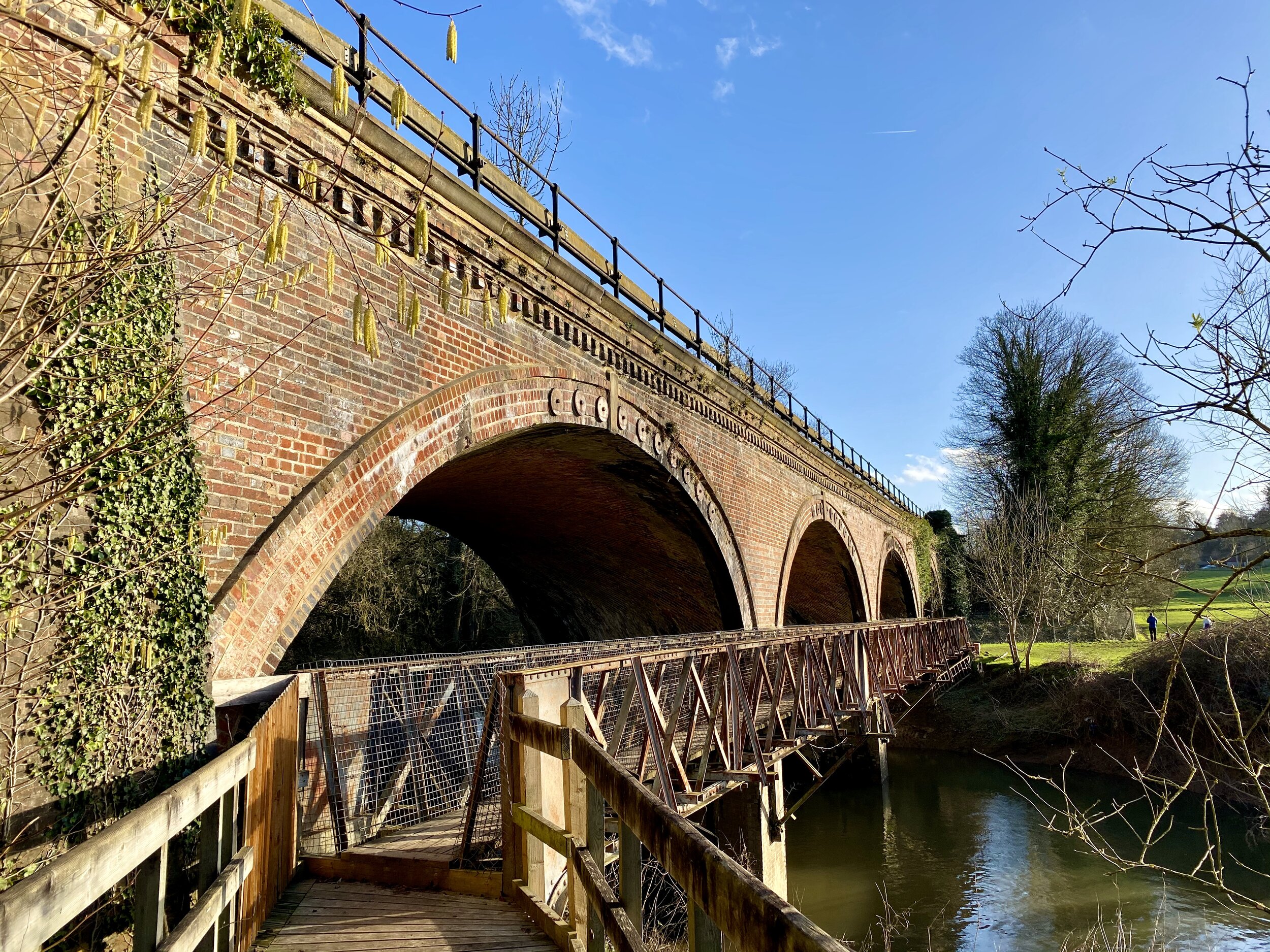
Rail bridge, just north of Westhumble
Start: Leatherhead Railway Station, Station Approach, Leatherhead KT22 7SW
Finish: Dorking Railway Station, Station Approach, Dorking RH4 1TF
Distance: 9.5 km (5.9 miles)
Elevation Change: +91m / - 100m. Net -8m
GPX File: get via Buy Me a Coffee
Other Routes Touched (walk): Ranmore SCC, North Downs Way, Norbury Park Walk
Other Routes Touched (run): Mole Valley parkrun, Surrey Bacchus Wine Half Marathon
Other Routes Touched (cycle): NCN 22
Cafe / pub on route: Pilgrim Cycles at Boxhill and Westhumble Station / The Stepping Stones Pub, Westhumble
Map: OS Explorer 146 Dorking, Box Hill & Reigate
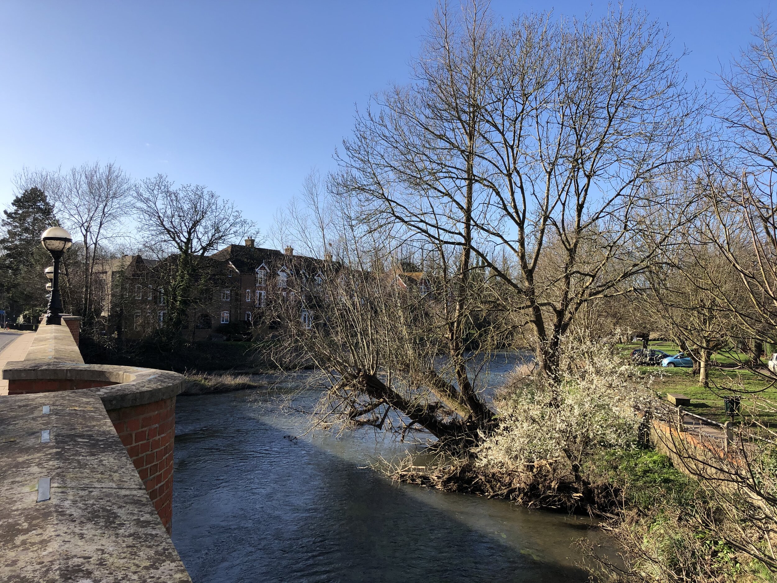
Links: Explore Surrey - Mole Gap Trail, River Mole, Leatherhead, Leatherhead Station, Westhumble, Boxhill and Westhumble Station, Denbies, Dorking, Dorking Station
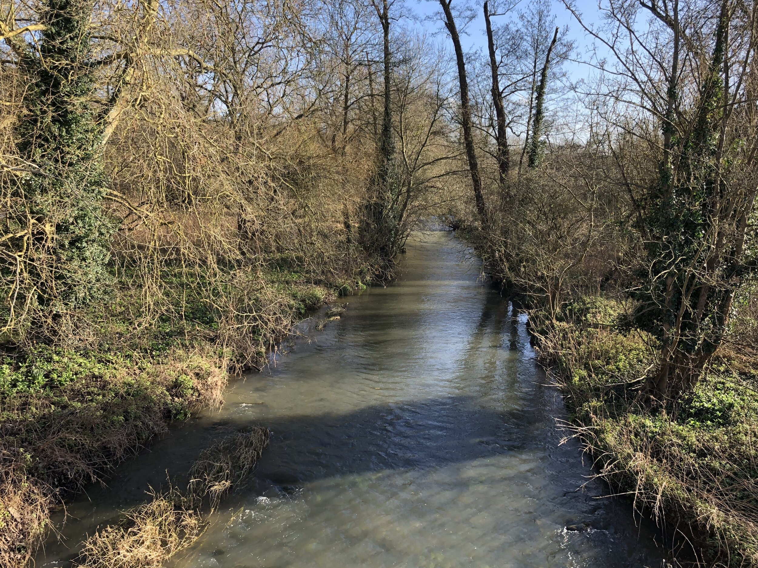
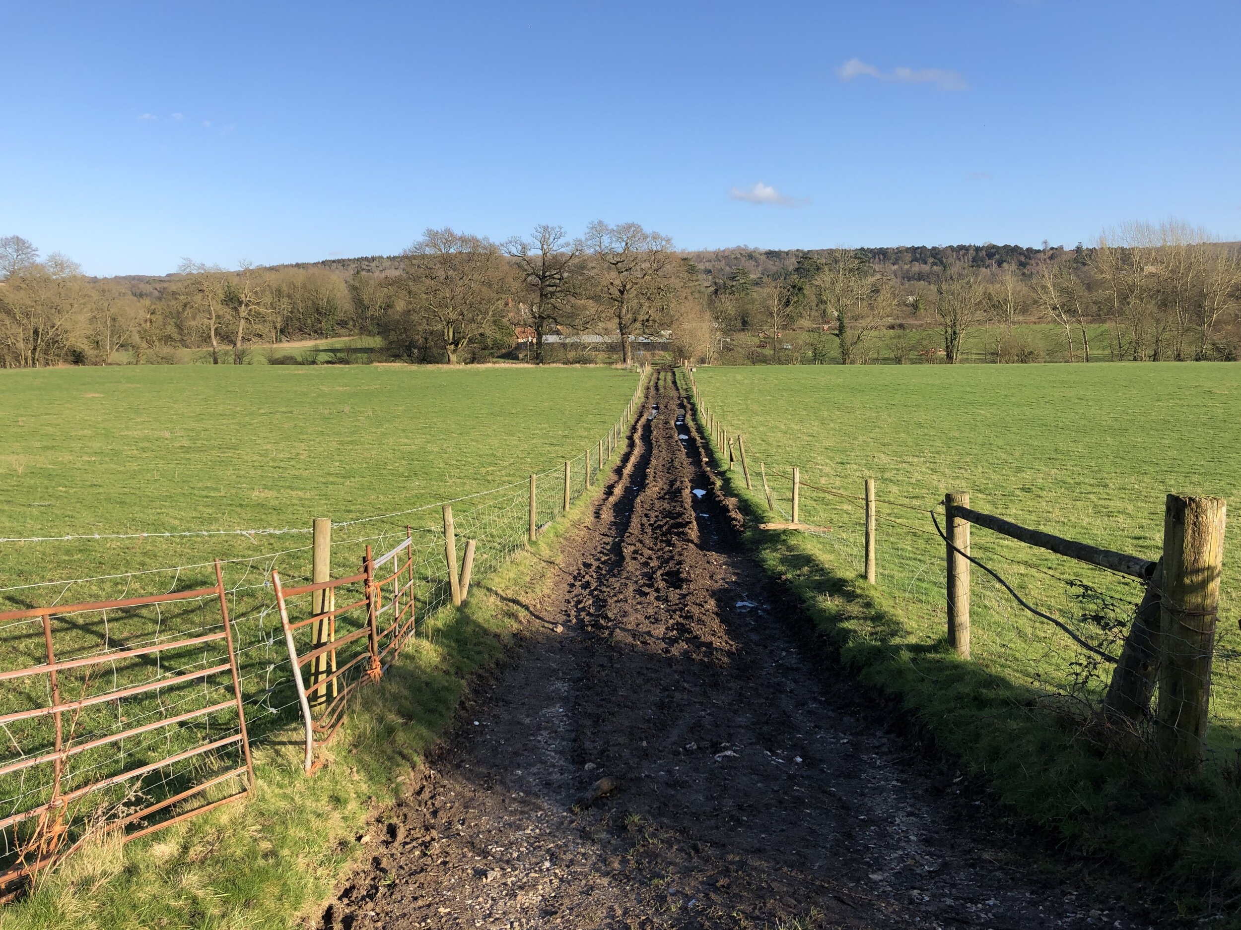
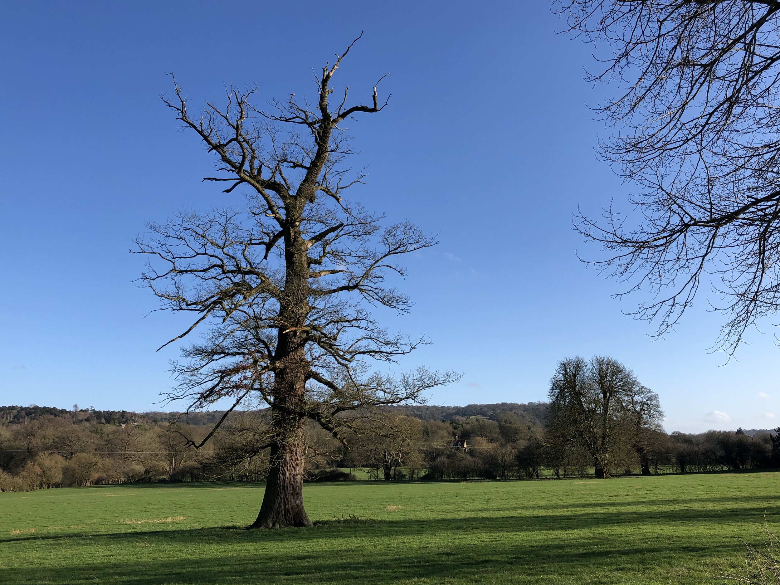
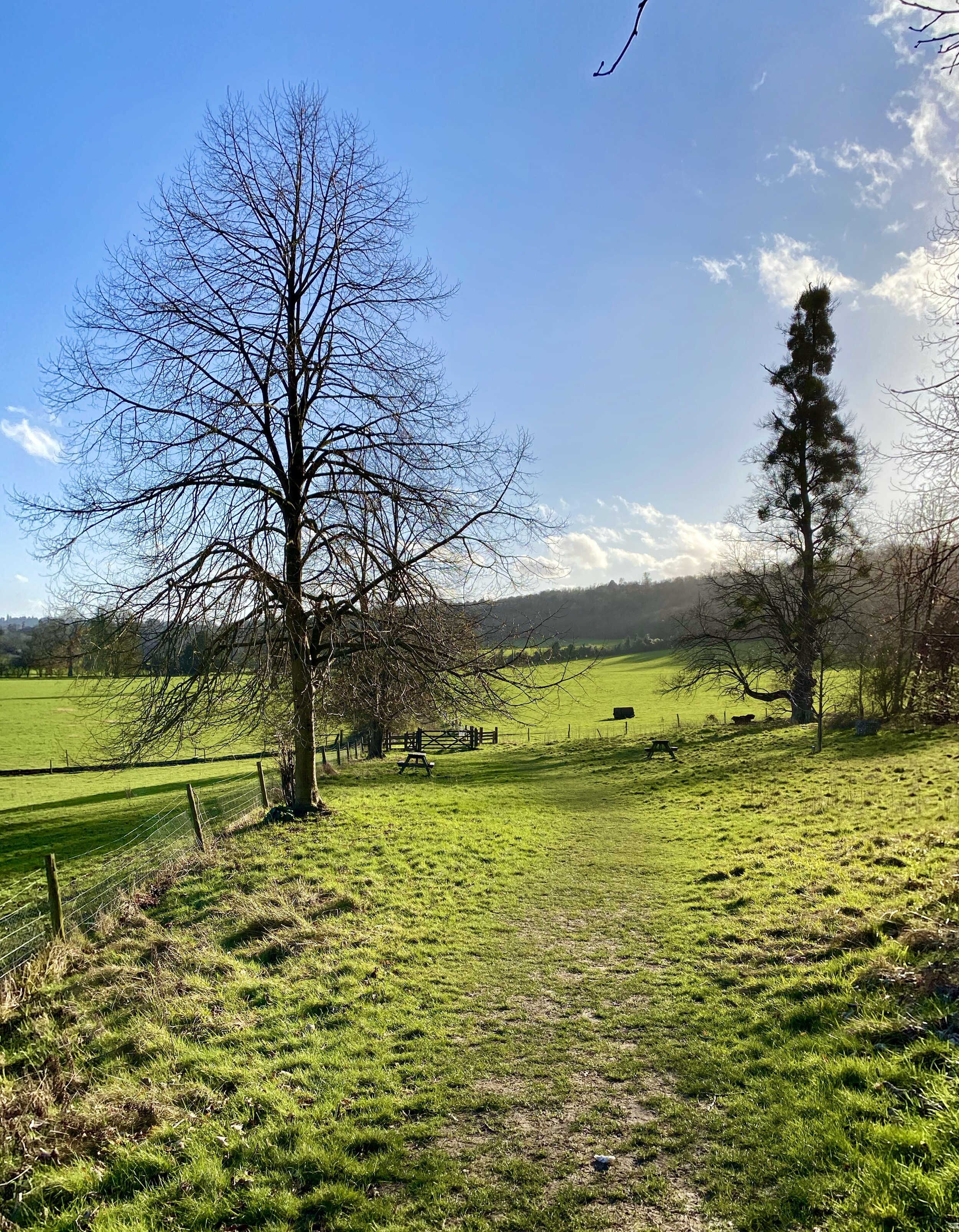
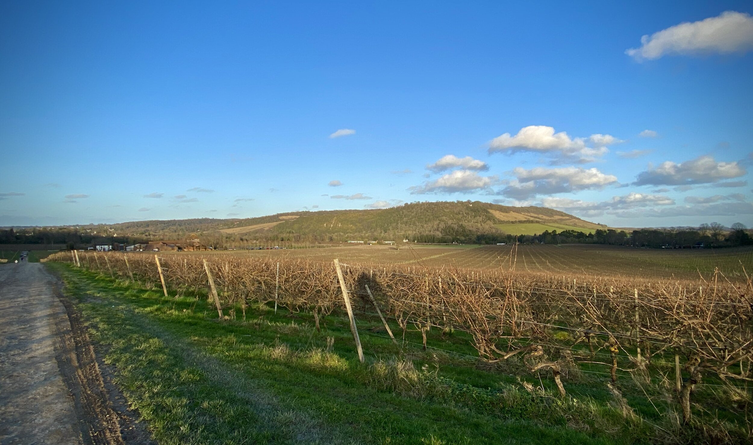
The Mole Gap Trail is an easy, scenic walk roughly following the River Mole. This was our latest walk in the Explore Surrey series whose website is a rich source of information about getting out and about in the county. It was our 3rd of their walks and it proved to be just as rewarding as the others. As with all of their routes, their PDFs have all the details so I won’t cover them again here. Instead, here’s a few other things to note:
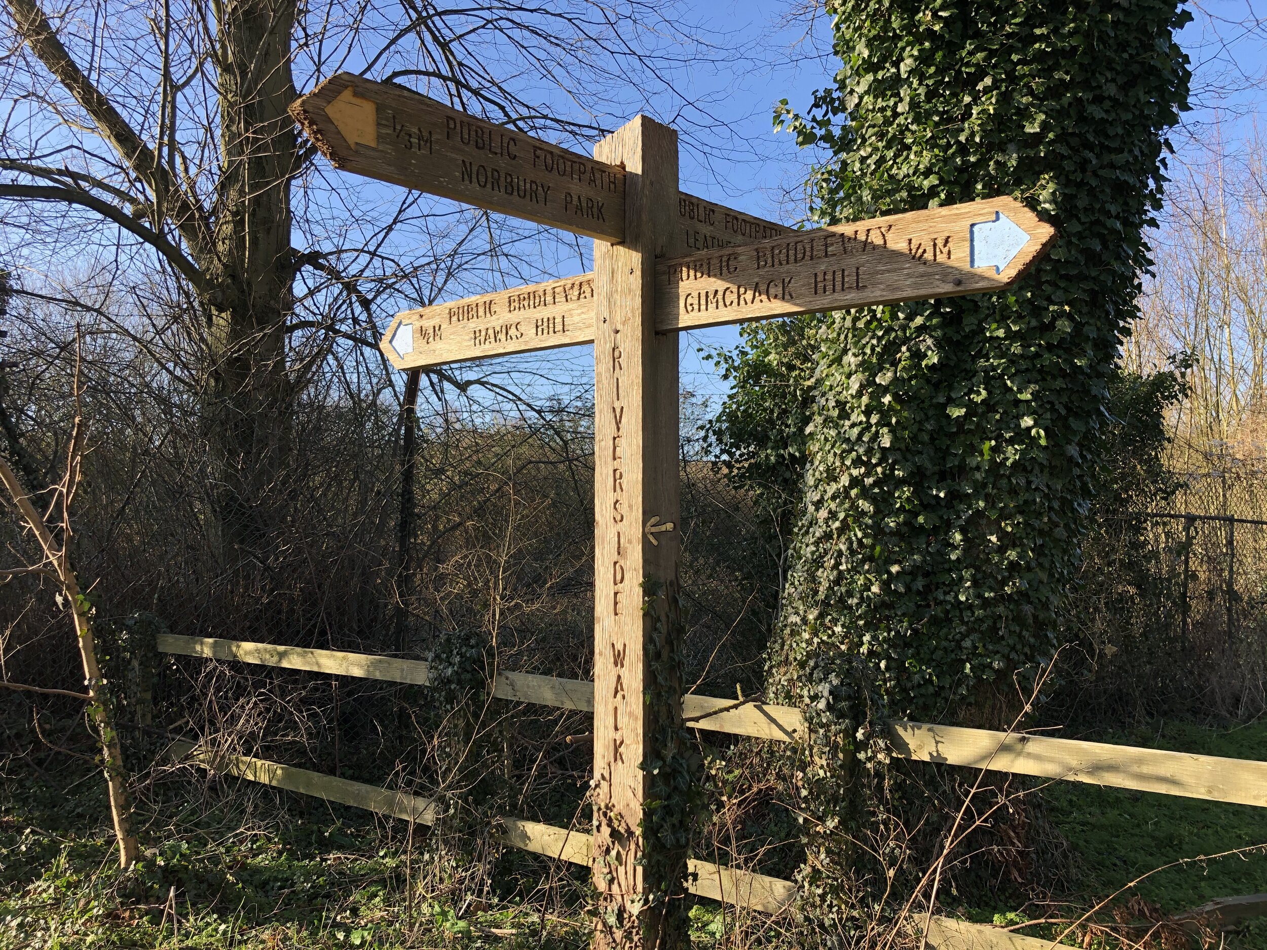
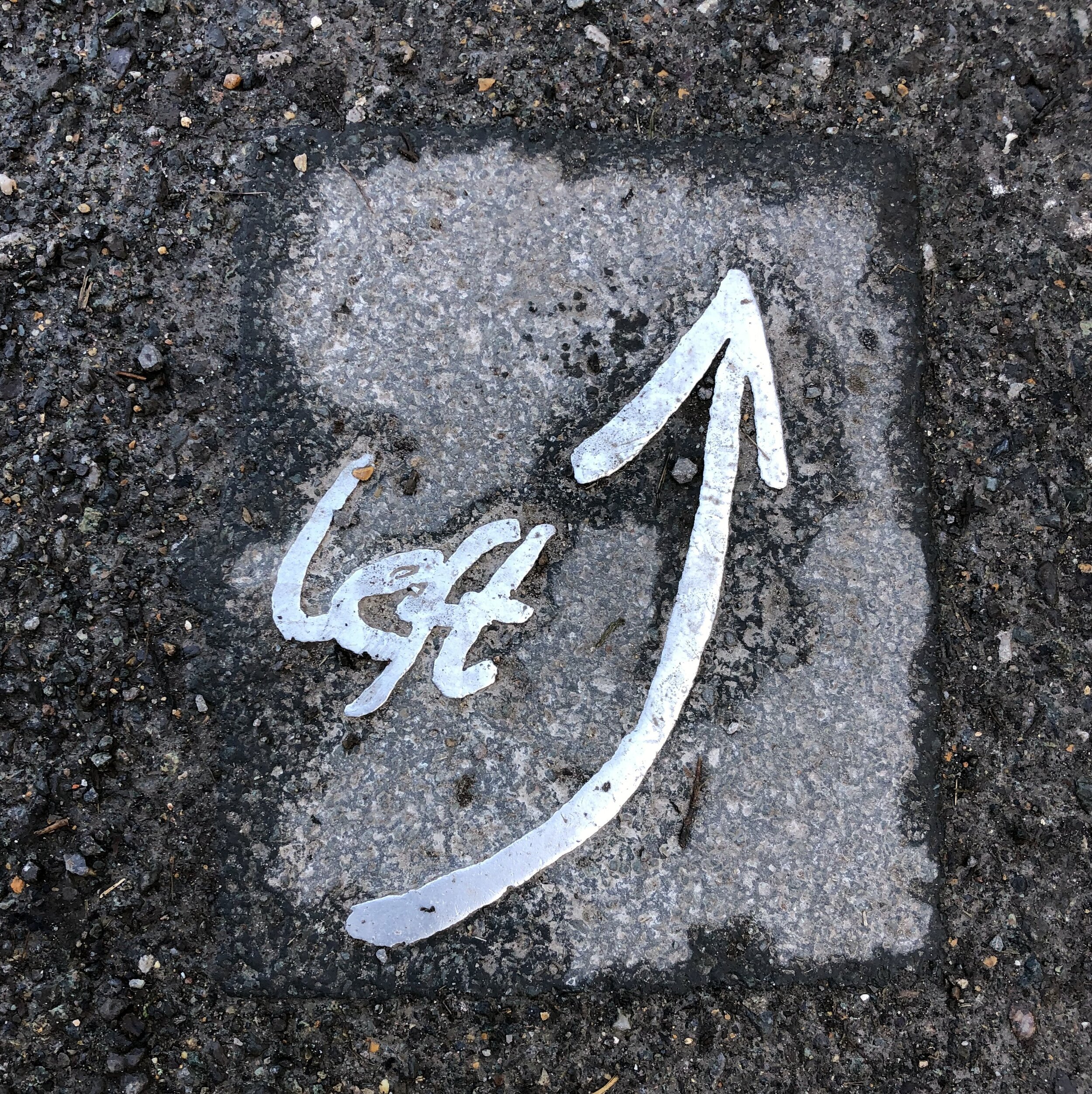
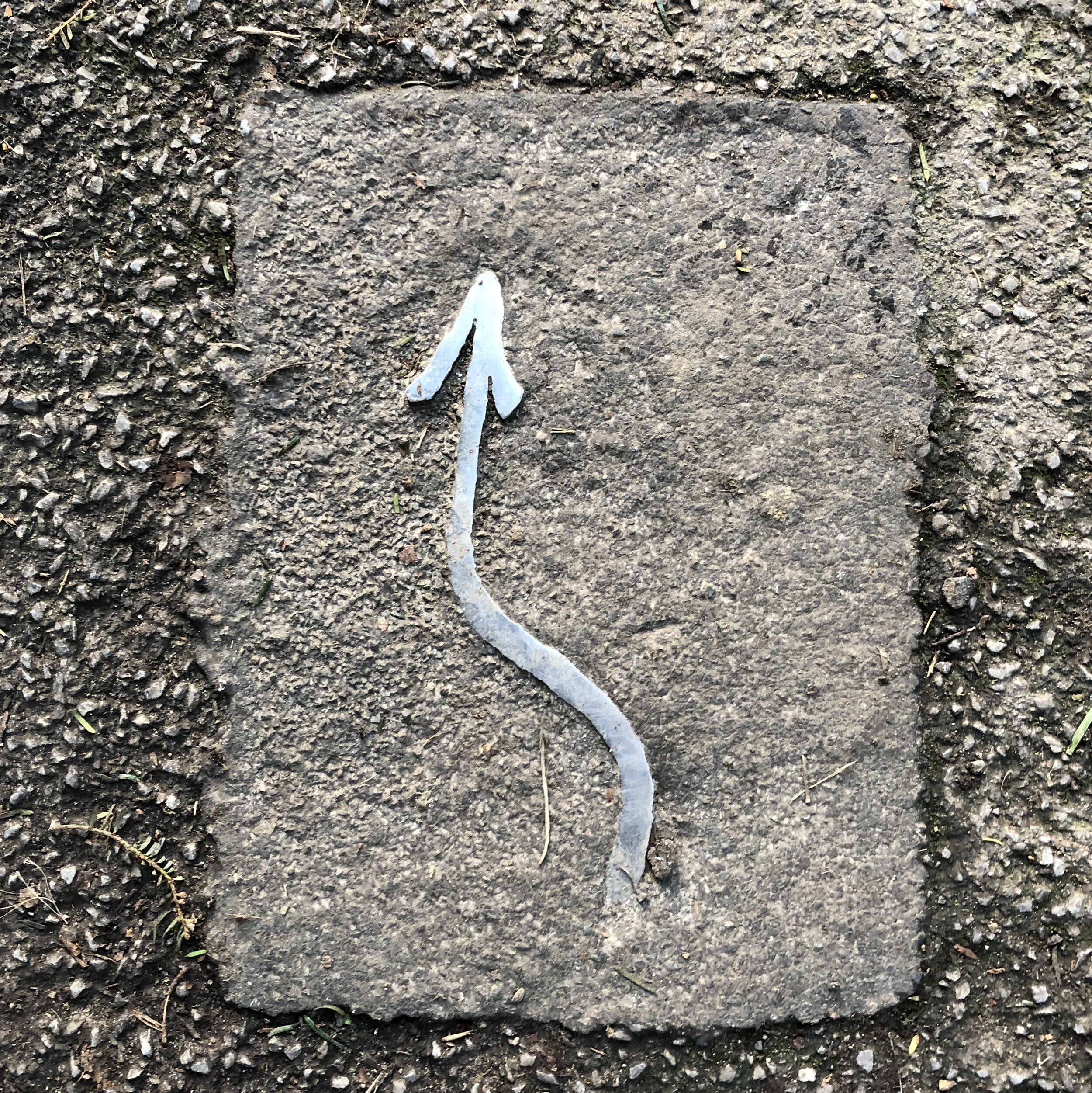
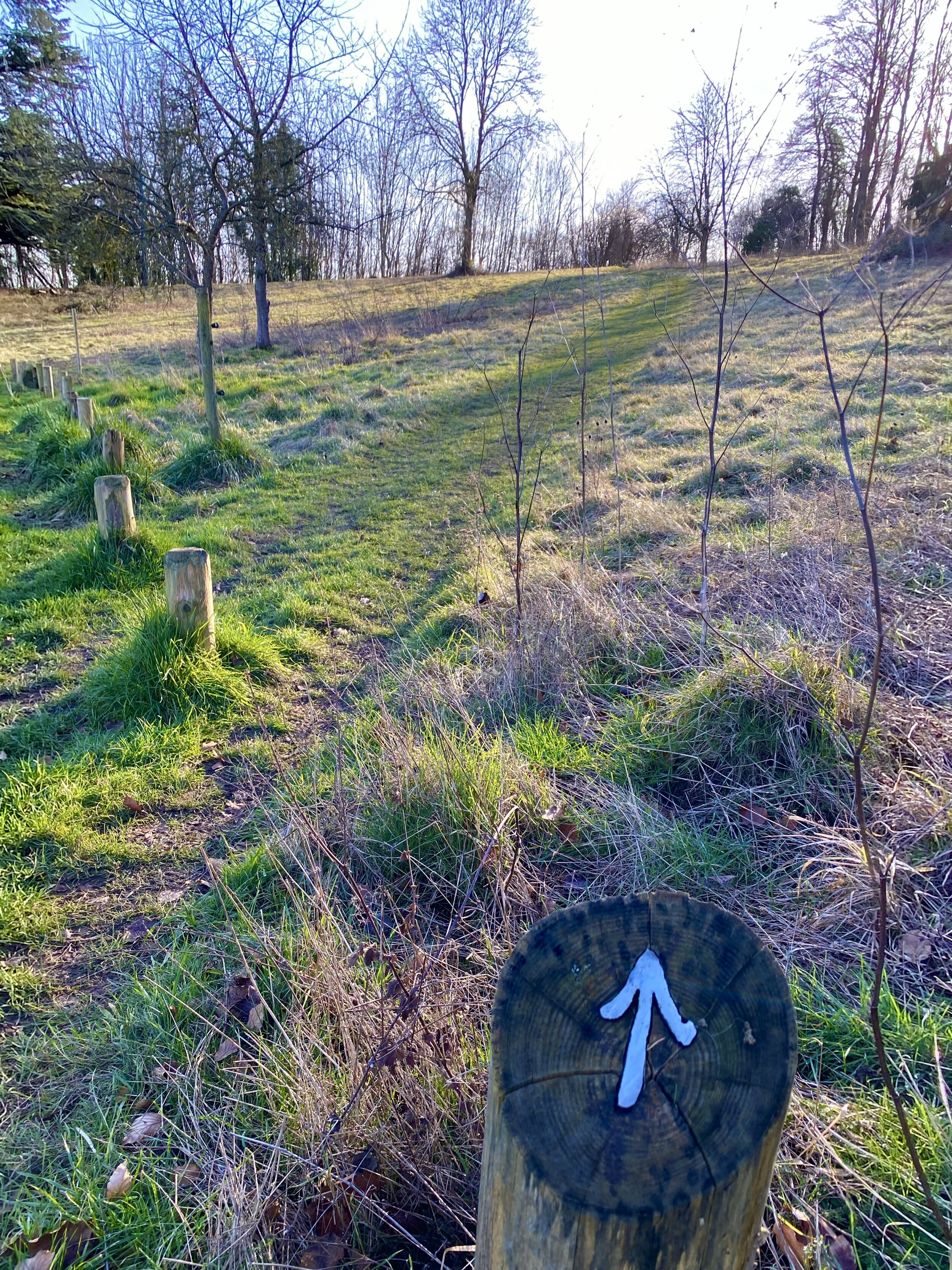
The route is well signposted with silver metal arrows and messages, mostly on the ground but also on some footpath signposts. There’s a lot of different trails following or crossing this route, so be careful not to get taken off in the wrong direction. As much as you could just as easily take the opposite route starting from Dorking, the South-facing route from Leatherhead makes more sense as you’re following the direction of the arrows.
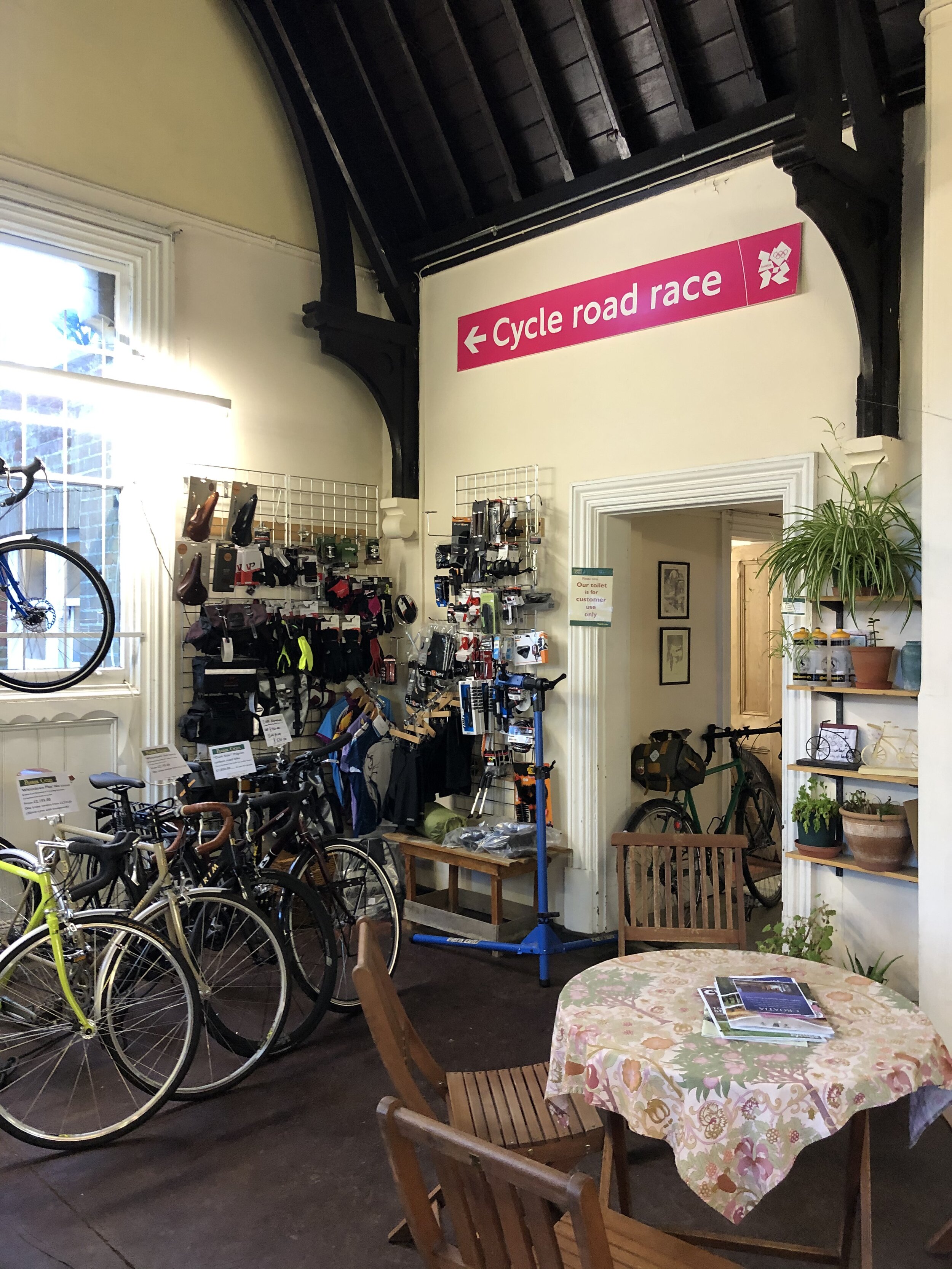
The Pilgrim Cycles cafe at Box Hill and Westhumble Station is a great place to stop for a rest at about 2 thirds of the way in. I particularly liked the old signs including one from the 2012 Olympics Cycling route.
According to Country Walking Magazine, the Mole Gap Trail is the shortest trail in Britain that is waymarked on the ground, labelled with the green diamonds of a recreational route on the OS Explorer map and has it’s own name on the map and isn’t part of a longer trail.