Posts tagged Northumberland
North East England parkruns
 

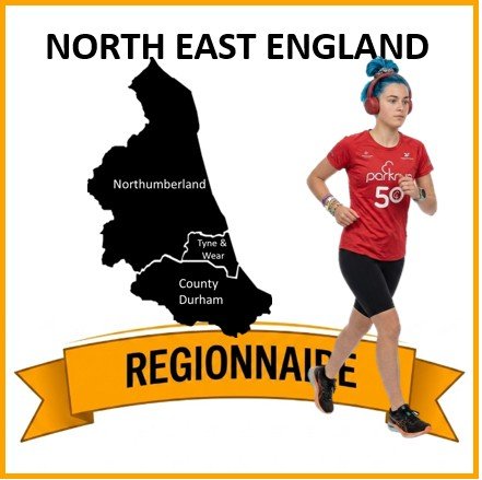
The parkrun Regionnaire status used to be a major part of parkrun tourism. Changes in the parkrun website in 2019 removed the regions making it harder to track completion status. All is not lost though, as here’s the complete parkrun guide to what’s in and what’s out of the counties of North West England.

The North East of England is a diverse and distinctive region of the UK, situated in the far north of the country, bordered by the North Sea to the east and sharing a long, historic border with Scotland. The region is composed of three ceremonial counties: County Durham, Northumberland, and Tyne and Wear. Geographically, the North East is characterised by its rugged coastline and expansive, sparsely populated uplands, most notably across Northumberland National Park: a dramatic and ancient landscape stretching south from the Cheviot Hills. It contains the deeply historic, rolling hills of the North Pennines (predominantly in County Durham and Northumberland) and the iconic, windswept route of Hadrian's Wall. Landscapes across the region are varied, ranging from the steep limestone cliffs and sandy bays of the Durham coast to the vast coniferous woodland of Kielder Forest and the rich, post-industrial river valleys of the Tyne, the Wear, and the Tees.

The administrative map of the North East underwent a significant transformation following the Local Government Act 1972, which came into effect in 1974. Prior to this, the region was defined by the ancient historic counties of Northumberland and County Durham (and historically, a portion of northern Yorkshire). The 1974 reforms sought to modernise local government, particularly to address the dense, industrial urban growth around the major rivers. This led to the creation of the metropolitan county of Tyne and Wear, which absorbed heavily populated, heavily industrialised swathes of south-east Northumberland and north-east County Durham (including Newcastle upon Tyne and Sunderland). The reforms also created the short-lived county of Cleveland in the south (absorbing parts of Durham and Yorkshire around the Tees), though this was later abolished. These boundaries, particularly the establishment of Tyne and Wear alongside the slightly reduced modern counties of Northumberland and Durham, were solidified for the purposes of appointing Lord-Lieutenants by the Lieutenancies Act 1997, firmly establishing the modern "ceremonial counties" we recognise today, even as the region's historic identities continue to hold deep cultural significance.
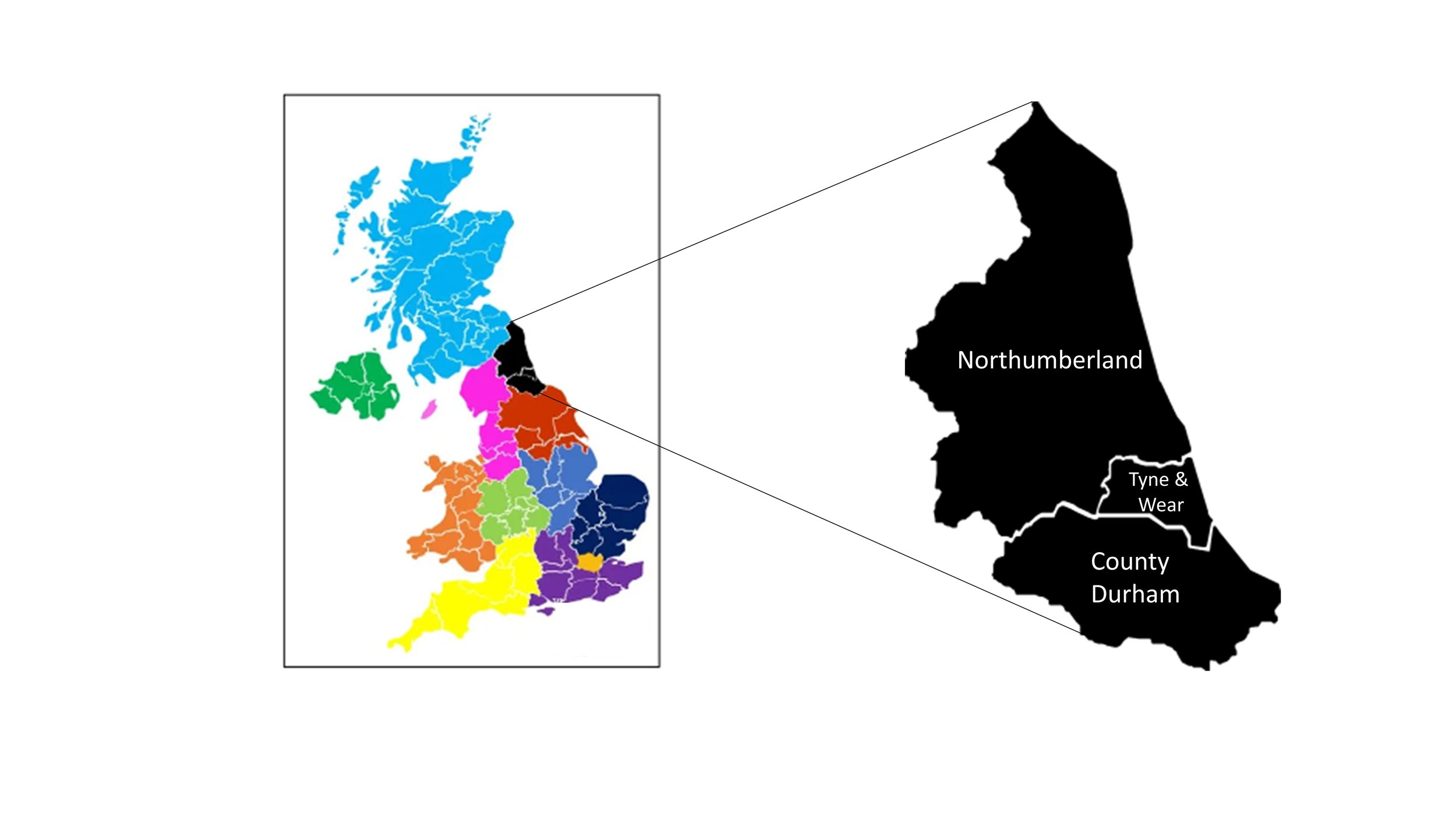


parkrun event numbers per county

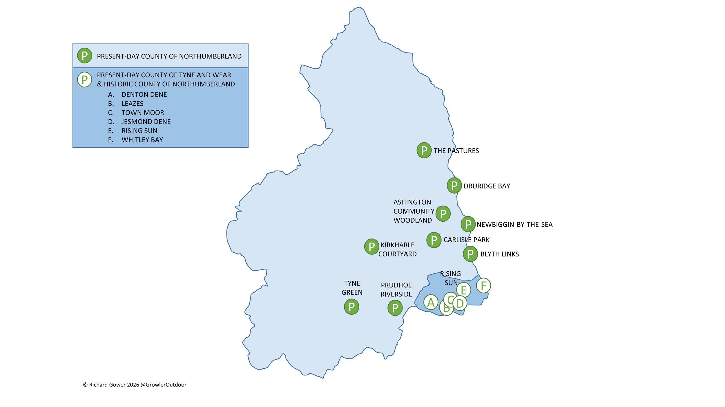
There are currently 43 parkrun events in the counties of the North East England region.
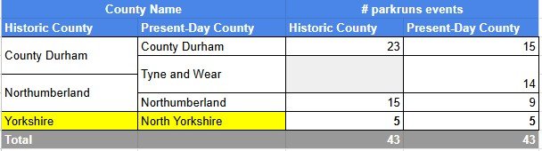
Notes and exceptions.

  • Five North Yorkshire events in the Tees Valley: Albert, Flatts Lane, Marshall Drive, Redcar and Stewart are in North East England region. All other North Yorkshire events are in the Yorkshire and The Humber region.


The North East England Counties parkrun pages

Click on each of the images below to go to the page with details of the parkrun events for the county.


More parkrun posts

parkruns are free, weekly, community 5k events all around the world. I started in December 2012 and have been obsessive about it ever since. See my parkrun Collection page for details.

Featured and popular parkrun posts:


Completing all Northumberland parkruns

There are currently 9 parkrun events in the present-day county of Northumberland, of which I have not yet completed any. The first was Carlisle Park which started on 5 October 2013 and the newest is Kirkharle Courtyard which started on 13 structural May 2023. The name for having completed all parkrun events in Yorkshire is “North-done-berland”.

There are an additional 6 parkrun events in the historic county of Northumberland that are now in the present-day county of Tyne & Wear.

Numbers exclude 2k Junior parkruns and any events that are not open to the general public such as prisons or armed forces facilities.


A map of all parkrun events in the county of Northumberland

All of the Northumberland parkrun events …

Below are each of the Northumberland 5k parkrun events in alphabetical order. A few things to note:

  • The interactive maps below take you to the approximate location for the course, typically the centre of the park. See the course instructions in the parkrun page for each event for specific directions to the start.

  • Course maps and elevation profiles show the route at the time that I ran it and may have changed since then. See the Course page in the event’s page on parkrun.org.uk for the current course outline. Note that course outlines are from Garmin data during a specific run and may vary from the officially measured distance.

  • Please contact me if you spot an event that doesn’t have a course map and elevation profile and you would like to donate one from your own run. I’m also interested in maps and elevation profiles for courses that have changed or where there’s a regular alternative route (e.g. Horsham). I’ll need a GPX file from your run plus the date. I’ll include a credit for you and will donate £1 to parkrun.


Ashington Community Woodland

  • I have not yet completed this event

  • Historic County: Northumberland

  • Ceremonial County: Northumberland

  • Inaugural: 20 January 2024

  • Links: Home Page, Course Page


Blyth Links

  • I have not yet completed this event

  • Historic County: Northumberland

  • Ceremonial County: Northumberland

  • Inaugural: 20 April 2019

  • Links: Home Page, Course Page


Carlisle Park

  • I have not yet completed this event

  • Historic County: Northumberland

  • Ceremonial County: Northumberland

  • Inaugural: 5 October 2013

  • Links: Home Page, Course Page


Druridge Bay

  • I have not yet completed this event

  • Historic County: Northumberland

  • Ceremonial County: Northumberland

  • Inaugural: 9 August 2014

  • Links: Home Page, Course Page


Kirkharle Courtyard

  • I have not yet completed this event

  • Historic County: Northumberland

  • Ceremonial County: Northumberland

  • Inaugural: 13 May 2023

  • Links: Home Page, Course Page


Newbiggin-by-the-Sea

  • I have not yet completed this event

  • Historic County: Northumberland

  • Ceremonial County: Northumberland

  • Inaugural: 13 October 2018

  • Links: Home Page, Course Page


Prudhoe Riverside

  • I have not yet completed this event

  • Historic County: Northumberland

  • Ceremonial County: Northumberland

  • Inaugural: 12 November 2016

  • Links: Home Page, Course Page


The Pastures

  • I have not yet completed this event

  • Historic County: Northumberland

  • Ceremonial County: Northumberland

  • Inaugural: 12 January 2019

  • Links: Home Page, Course Page


Tyne Green

  • I have not yet completed this event

  • Historic County: Northumberland

  • Ceremonial County: Northumberland

  • Inaugural: 20 April 2019

  • Links: Home Page, Course Page


More parkrun posts

parkruns are free, weekly, community 5k events all around the world. I started in December 2012 and have been obsessive about it ever since. See my parkrun Collection page for details.

Featured and popular parkrun posts:

Completing all Tyne and Wear parkruns

There are currently 14 parkrun events in the present-day county of Tyne and Wear, of which I have not yet completed any. The first was Town Moor which started on 16 January 2010 and the newest is Windy Nook which started on 20 April 2024. The name for having completed all parkrun events in Tyne and Wear is “Full Tyne”.

Tyne and Wear is a present-day / Ceremonial county that was formed from the north-eastern part of County Durham and the south-eastern part of Northumberland. The event listings below show which are in either of the historic counties.

Gibside was a parkrun event in Tyne and Wear but has now been permanently cancelled.

Numbers exclude 2k Junior parkruns and any events that are not open to the general public such as prisons or armed forces facilities.


All of the Tyne and Wear parkrun events …

Below are each of the Tyne and Wear 5k parkrun events in alphabetical order. A few things to note:

  • The interactive maps below take you to the approximate location for the course, typically the centre of the park. See the course instructions in the parkrun page for each event for specific directions to the start.

  • Course maps and elevation profiles show the route at the time that I ran it and may have changed since then. See the Course page in the event’s page on parkrun.org.uk for the current course outline. Note that course outlines are from Garmin data during a specific run and may vary from the officially measured distance.

  • Please contact me if you spot an event that doesn’t have a course map and elevation profile and you would like to donate one from your own run. I’m also interested in maps and elevation profiles for courses that have changed or where there’s a regular alternative route (e.g. Horsham). I’ll need a GPX file from your run plus the date. I’ll include a credit for you and will donate £1 to parkrun.


Chopwell Wood


Denton Dene


Elemore Park


Fulwell Quarry


Gateshead


Gibside

  • This parkrun event has been permanently cancelled. I did not complete this event before it was closed.

  • Historic County: County Durham

  • Ceremonial County: Tyne and Wear

  • Inaugural: February 22nd 2014. Final event: #280 on March 14th 2020

  • Reason for cancellation: Due to the impacts of the COVID-19 pandemic and changes on the Gibside estate (National Trust property) making the original course unviable.

  • Replaced by: Chopwell Wood

  • Links: Event Home Page


Herrington Country


Jesmond Dene


Leazes


Rising Sun


Silksworth

  • I have not yet completed this event

  • Original name: Sunderland. Changed to more accurately reflect the specific location of the course within the Silksworth Sports Complex, particularly as other parkrun events began to populate the wider Sunderland area.

  • Historic County: County Durham

  • Ceremonial County: Tyne and Wear

  • Inaugural: 10th October 2009

  • Links: Event Home Page, Course Page


South Shields


Town Moor

  • I have not yet completed this event

  • Original name: Newcastle. Changed when the event restarted after the COVID-19 pause. Several other parkruns had launched in Newcastle, requiring a more specific location name, which was accompanied by a route change.

  • Historic County: Northumberland

  • Ceremonial County: Tyne and Wear

  • Inaugural: 16th January 2010

  • Links: Event Home Page, Course Page


Whitley Bay


Windy Nook


More parkrun posts

parkruns are free, weekly, community 5k events all around the world. I started in December 2012 and have been obsessive about it ever since. See my parkrun Collection page for details.

Featured and popular parkrun posts:

Race To The Castle Ultra Marathon
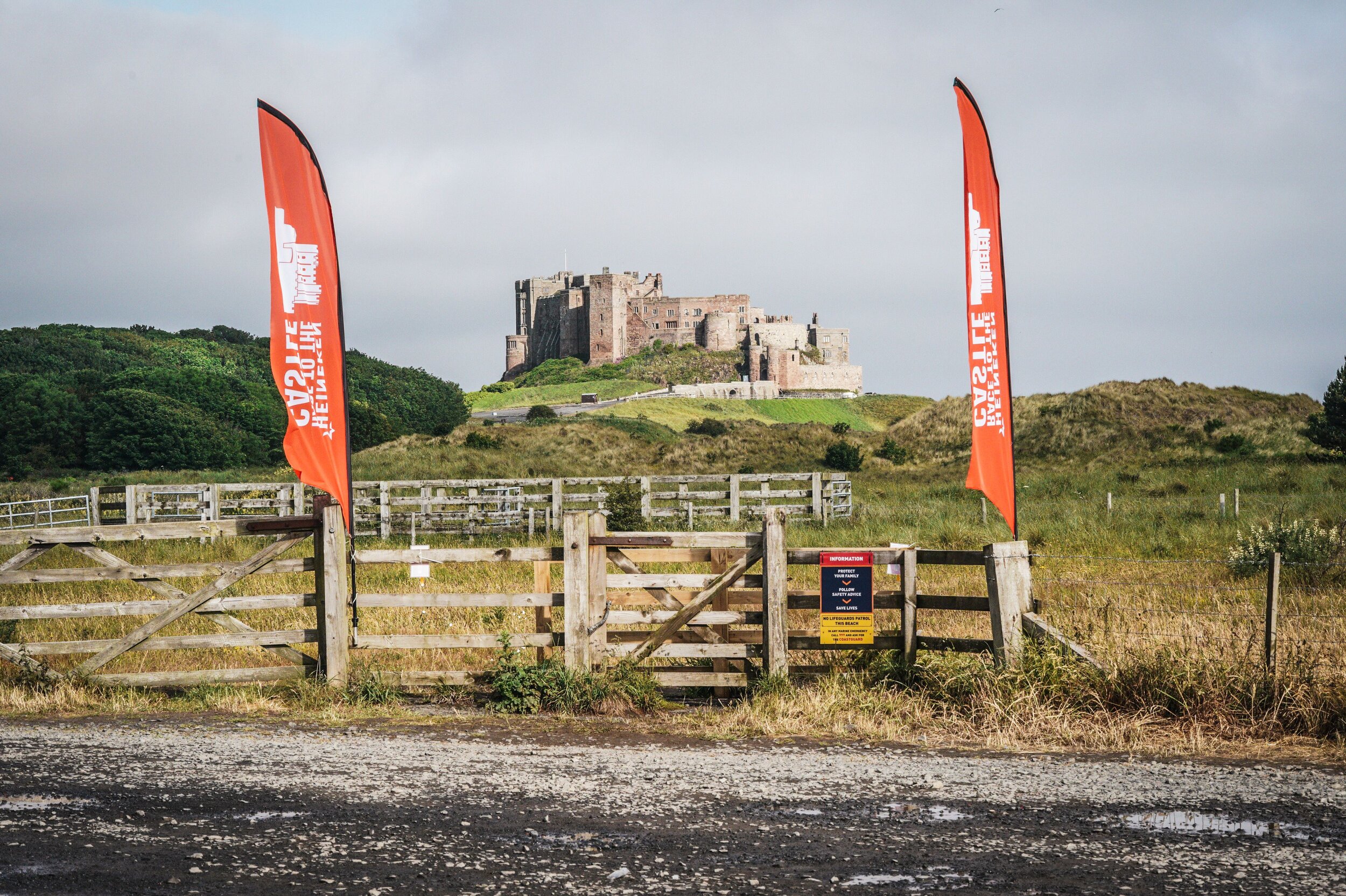
Bamburgh Castle. 1km from the Finish Line

Bamburgh Castle. 1km from the Finish Line


When: June 26th 2021
From: Kirkharle Courtyard, NE19 2PE
To:
Car Park, Radcliffe Road, Bamburgh, NE69 7AE
Distance
: 102.6 km (63.7 miles) based on my Garmin stats. Official distance = 100 km
Elevation Change: +1,141m / -1,591m. Net -450m
GPX File: get via Buy Me a Coffee
Other routes touched (walk): St Oswolds Way, Hadrian’s Wall Path, Northumberland Coast Path
Other routes touched (cycle): NCN 1
Maps:
- OS Explorer OL42 Kielder Water & Forest
- OS Explorer Map (325) Morpeth and Blyth
- OS Explorer Map 332 Alnwick and Amble, Craster and Whittingham
- OS Explorer Map (340) Holy Island and Bamburgh
Guidebook: St Oswald's Way and St Cuthbert's Way: With the Northumberland Coast Path (Cicerone)
Finish time: 17 hours 46 minutes
Links: St Oswolds Way, Northumberland National Park, Rothbury, River Coquet, Warkworth, Alnmouth, Craster, Seahouses, Bamburgh, Bamburgh Castle


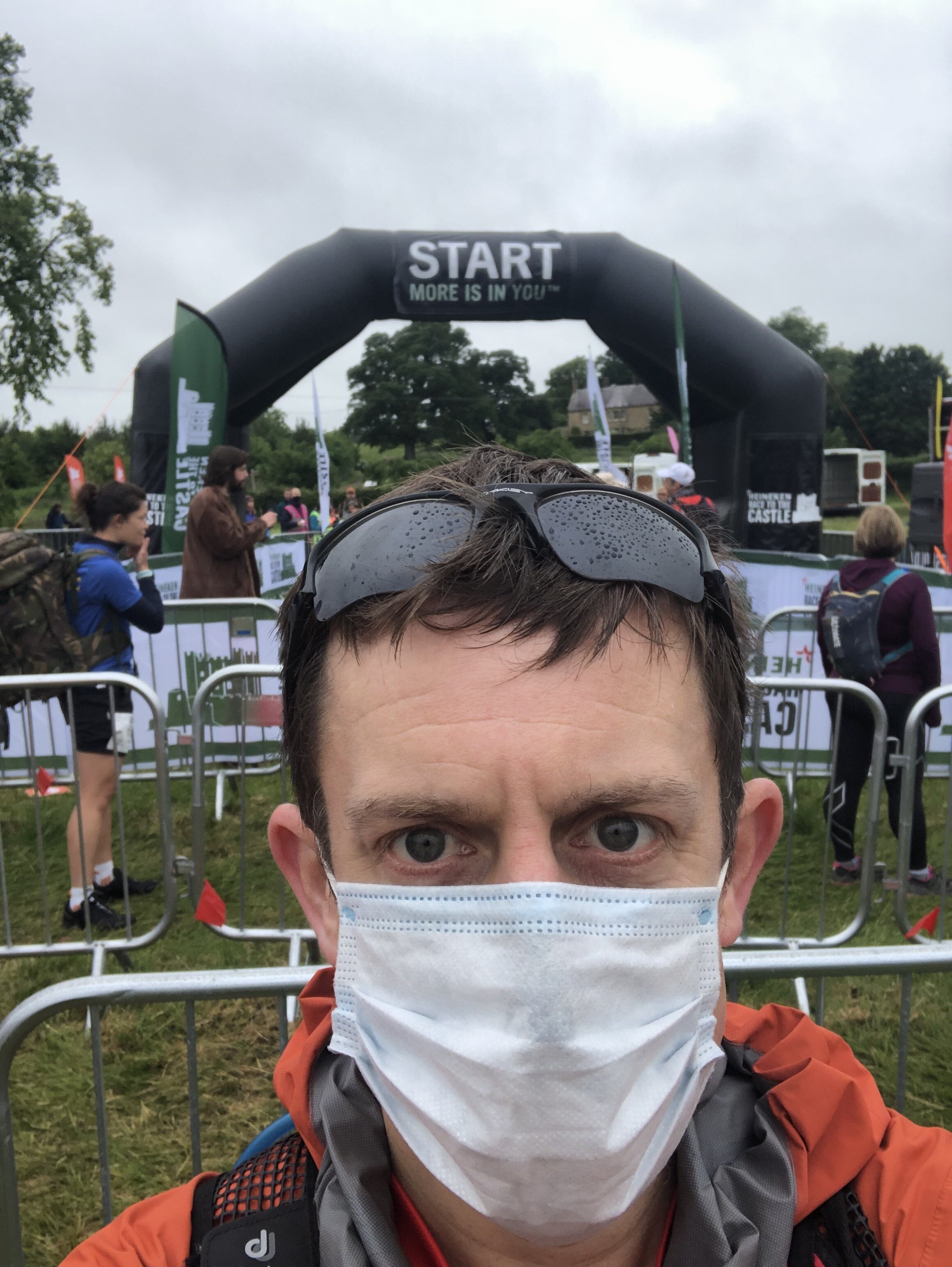
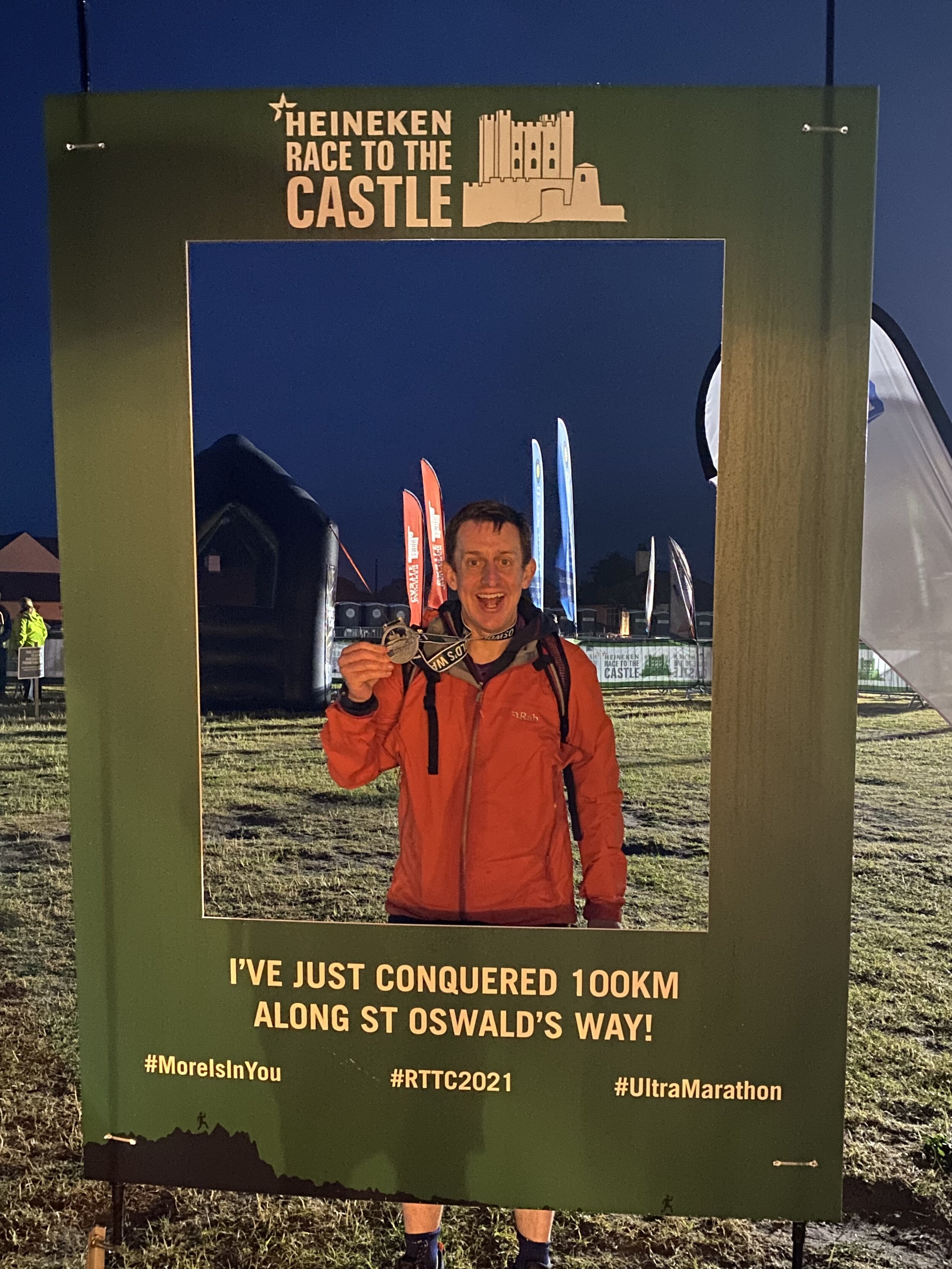
I’d signed up for Race To The Castle as soon as tickets were open. This was the fourth and newest of the Threshold Trail series. Having done the other three, I needed to complete the set. It would take a while to get to the start line though. As with most 2020 events Covid pushed it back a year. So, 18 months after signing up, I was in the 08:30 start wave ready to run my second 100k ultra.

All the usual pre-race nerves were there. Although I do an ultra every year it has been five years since my last 100k. My preparation had gone well, but you never know how the day will go.

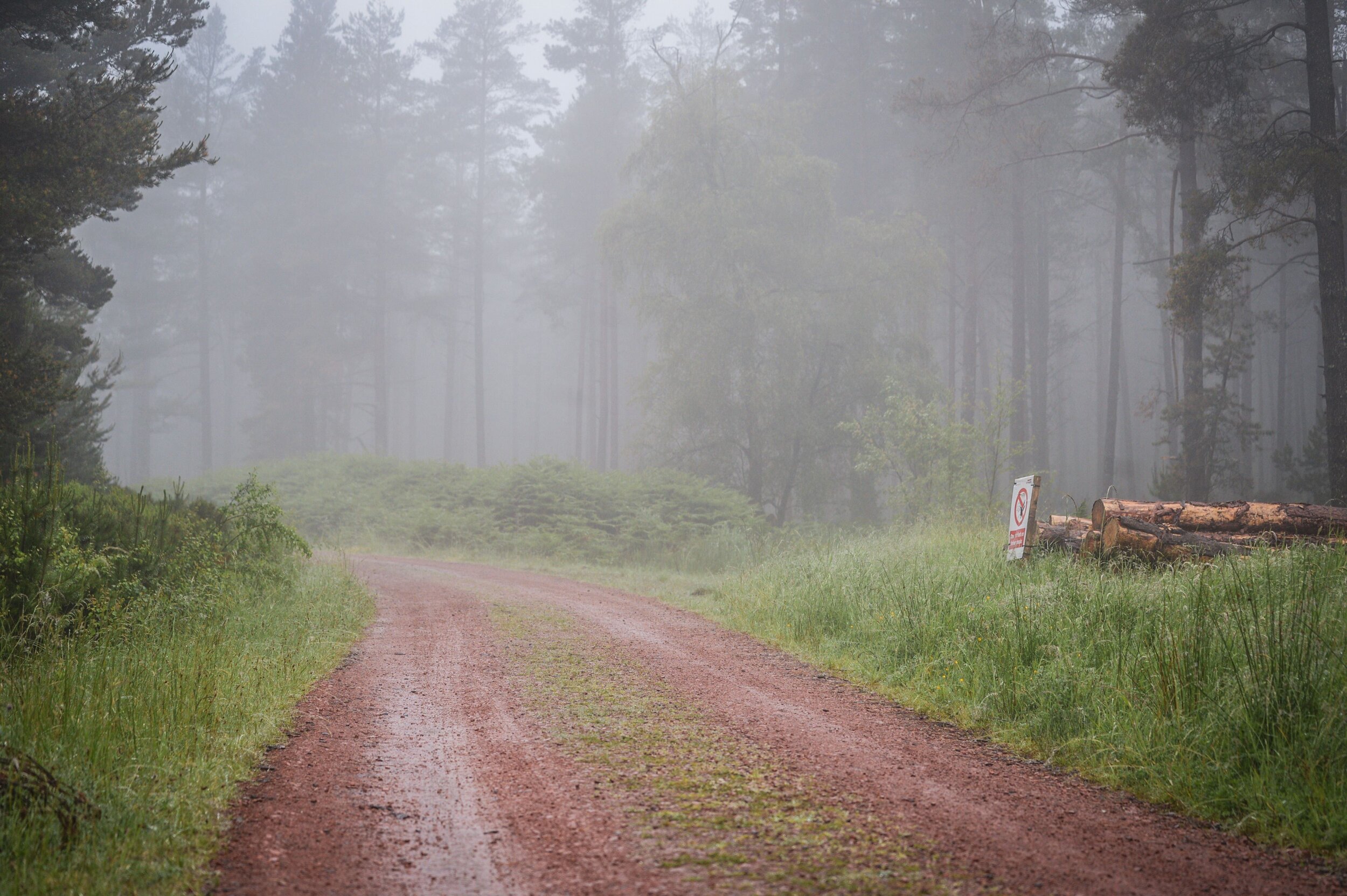
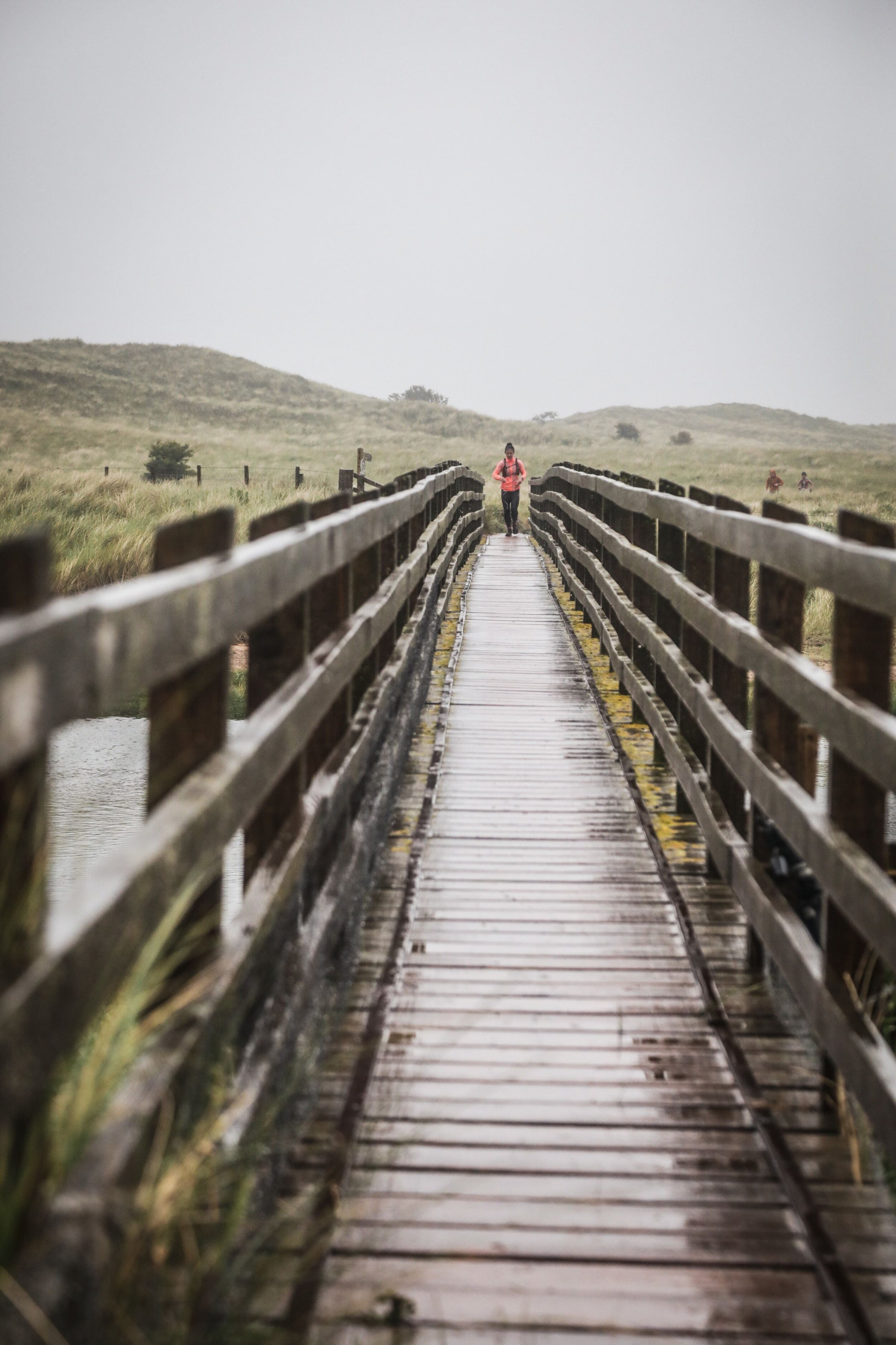
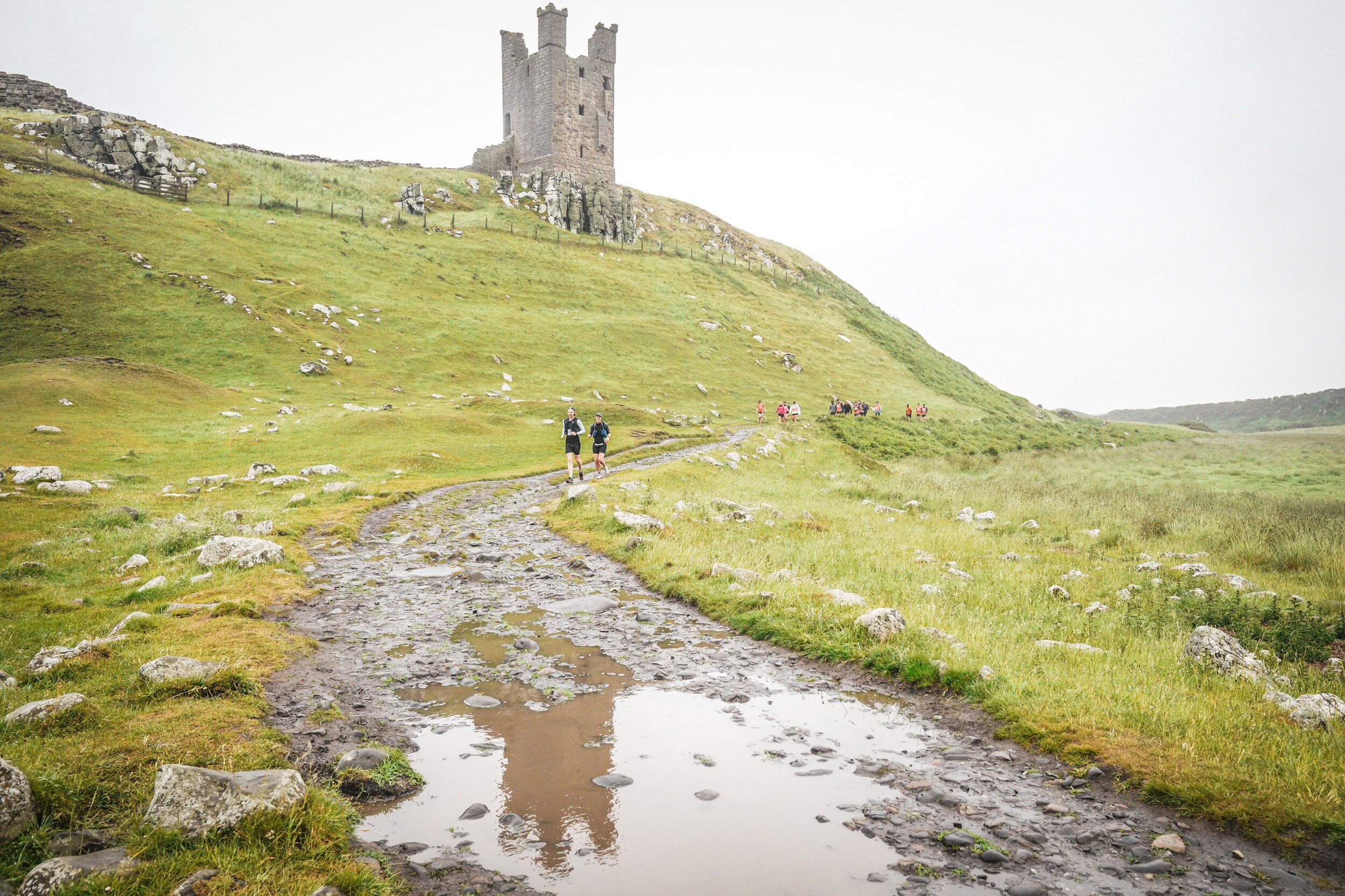
It was tough. Most of the elevation was in the first 35k, with a long slog up and down the Simonside Hills. By the end of that section my thighs had tightened up and my slow running become a fast walk. The weather didn’t help either. The whole day had low grey clouds with constant drizzle. I changed my socks for dry ones after the hills but nothing could stay dry for long.

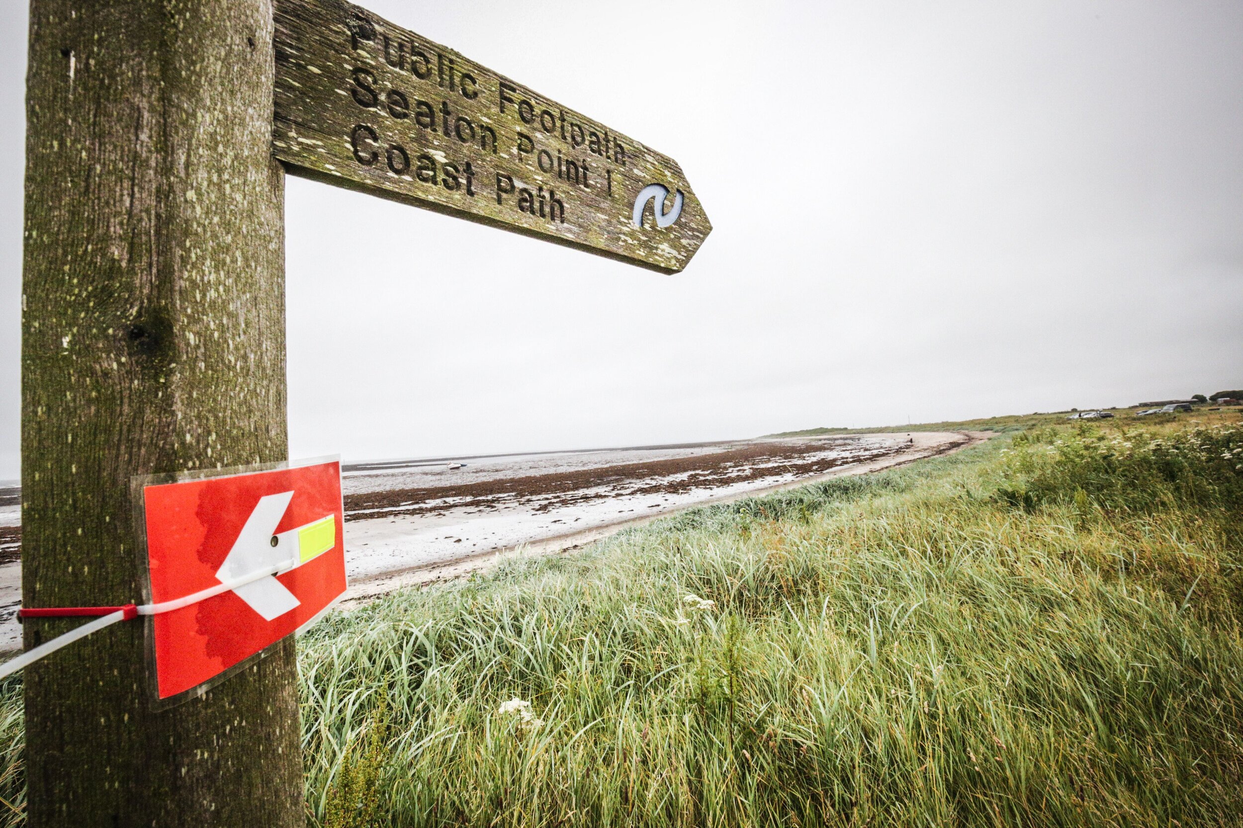
The countryside was beautiful and likely much more so if it had been sunny. The route, mostly following St Oswald’s Way, took in forest, track, rivers, pretty villages and coastal paths. The coastal section would likely have been a highlight. By the time I got there is was getting dark so I didn’t see much of it. Although I always choose the 1 day non-stop option for these events, anyone doing the 2 day option would have seen the best of the coast.

My low point was at midnight on the National Trust land at Newton Links. It felt like high exposed moor but I only realised that it was next to the sea when I looked at the map the next day. It was completely dark, raining a lot and no other runners in sight. By now I’d already completed 88k and there was no stopping now. It still hurt though.

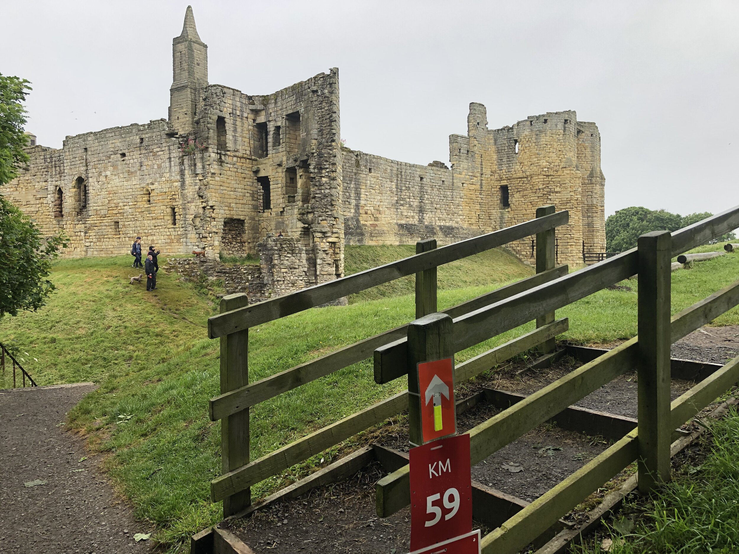
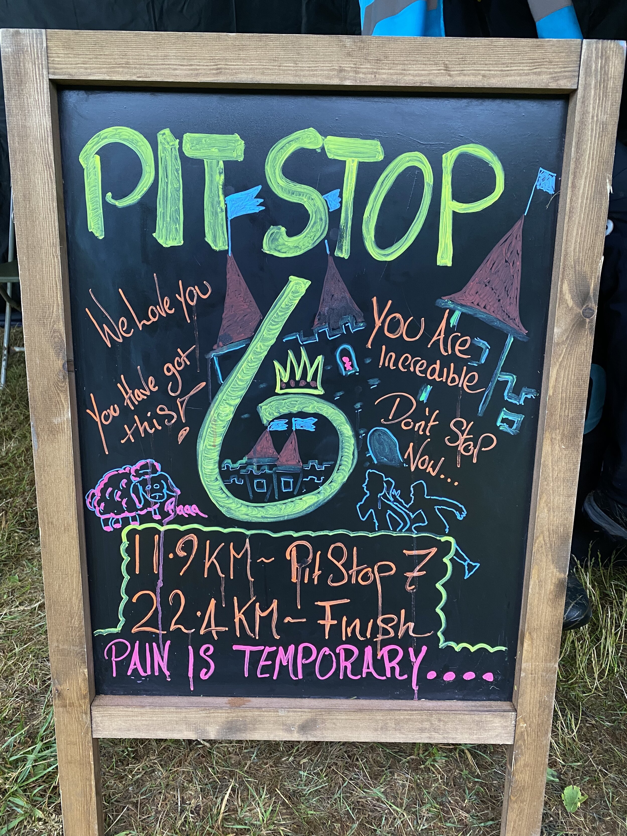
From the final pit stop at Beadnell I’d got some new motivation. Timea followed closely in the car and fed me cookies and Lucozade to keep up my energy. As Seahouses approached there was more streetlighting and people around. After Seahouses the route took an inland curve down a quiet country lane. From 97k Bamburgh Castle was in sight, lit up in the distance. I passed the castle at 99k with the final 1k along the coastal road to the finish line.

At 17 hours 46 minutes, I was 13 minutes off my 100k PB. I was more that happy with that though as this was much tougher than Race to the Stones. I now had the medal to complete the set of 4.

When you’re finishing an ultra on your own late at night it’s easy to think you’re the last to finish. There were still a lot of people coming in as we drove back to the hotel and even some when we got up the next morning. This has definitely proven that Race To The Stones wasn’t my 100k fluke. I’m not in a rush to do any more any time soon though. 50ks will do me for a while.

Thank you to the Threshold Crew for another very well organized event. Thanks especially for my awesome wife who is my personal support crew on the runs. Seeing her every 10k along the route and at the finish line is a big motivation. The cookies and pasties that she brings also help too :-)


route-36594558-map-full.png

Some photos taken by Sportograf, all others Richard Gower and Timea Kristof.

elevation_profile.jpg

Start: Kirkharle Courtyard


End: Bamburgh Castle


North-East England County Tops
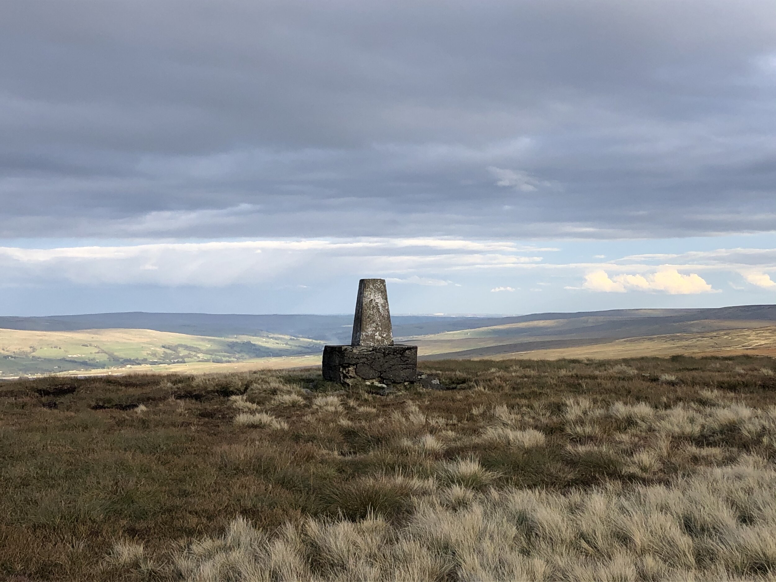
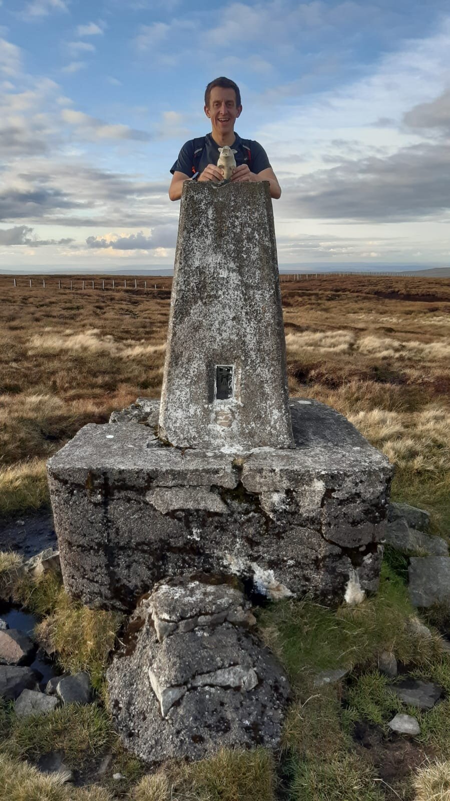
View from Burnhope Seat summit to the Trig Pillar

View from Burnhope Seat summit to the Trig Pillar


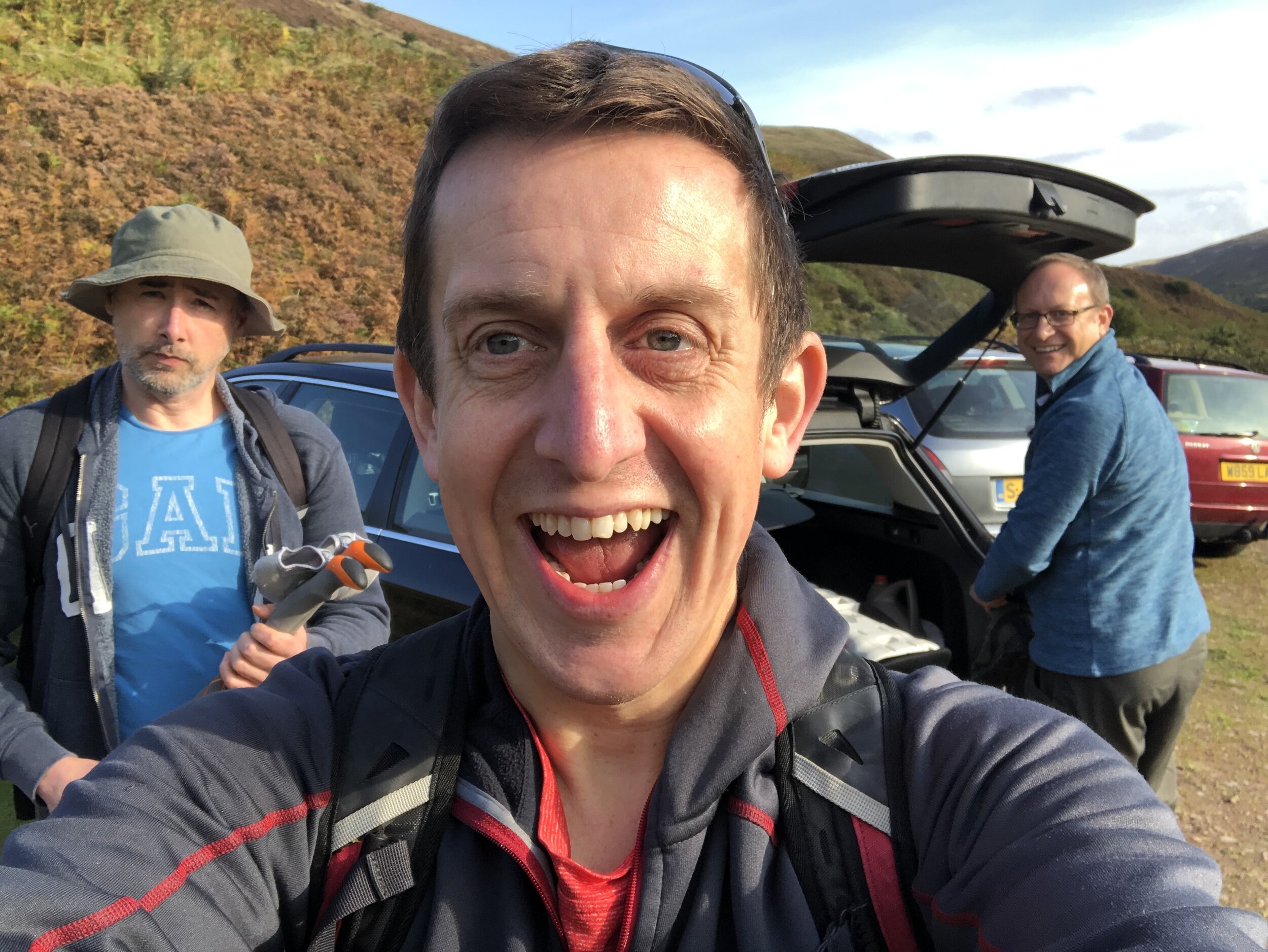
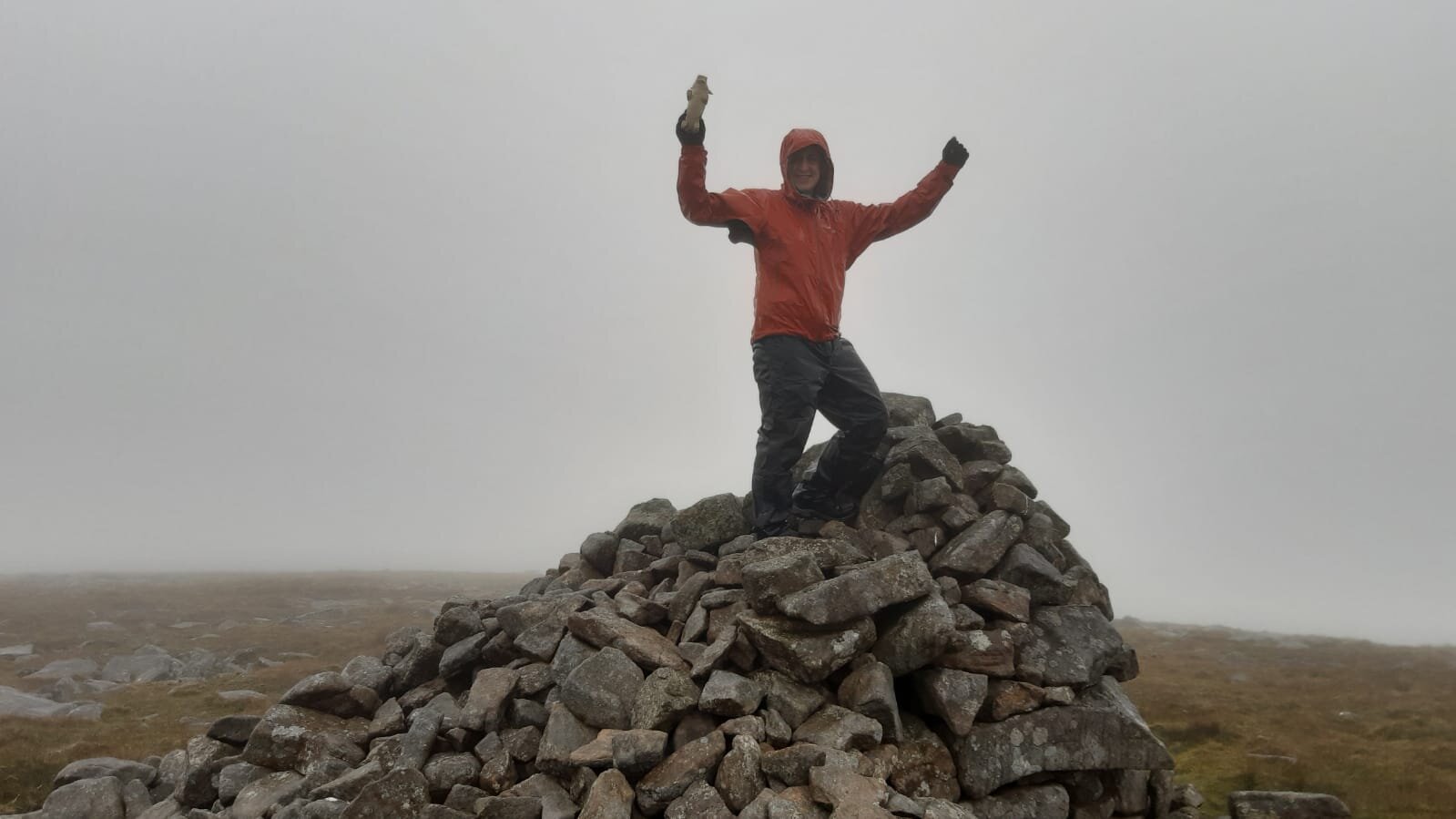
We had the dates for this in the diary for most of the year, even before Covid-19 became the thing that defined 2020. When the Lockdown came in March we we glad we had booked it in for later in the year and had assumed that the virus would have blown over by then. By mid-Summer things were relaxing and it was looking like there wouldn’t be a problem for the trip at all. September came, cases started rising again and the North-East was right in the centre of a local Lockdown. The rules were especially ambiguous and it was only the day before the trip that we decided that we would still be able to go. So, without breaking any rules and keeping as safe as possible, 3 of us headed North to complete the North-East County Tops.

As it turned out Covid had a very minimal impact on the plan. Our YHA for the first 2 nights was in Northumberland and had strict procedures. Rather than sharing one big room as per our usual trips, we had to have a room each under separate bookings. Breakfast was strictly one person per table, but given my lack of interest in talking to anyone 1st thing in the morning, it wasn’t a major inconvenience. Other than that we were out in the hills all day and the rare instances of coming in contact with others were few and far between and at quite a distance.

Being able to complete these 3, and by extension my completion of all of England’s County Tops, was a major win for me for 2020. Most other plans had been cancelled or postponed until 2021, so keeping this felt like a big achievement.


Burnhope Seat

Significance: Highest peak in County Durham (Historic CT)
Member of: Hewitt, Marilyn, Nuttall
Parent Peak: Cross Fell. NHN = Meldon Fell
Elevation: 747m
Date climbed: October 1st 2020
Coordinates: 54.7331° N, 2.3369° W
Route Start / End: 2-car layby on B6277 north of kink in road over stream bridge, south of Yad Moss ski area
Route Distance: 3.1 km (1.9 miles)
Route Elevation Change: +/- 160m
Subsidiary tops on route: none
GPX File: get via Buy Me a Coffee
Other routes touched: none
OS Trig Pillar: TP1783 - Burnhope Seat
Map: OS Explorer Map (307) Consett and Derwent Reservoir
Guidebook: The UK's County Tops (Jonny Muir), Walking the County High Points of England (David Bathurst)
Links: Wikipedia (County Durham), Wikipedia (Burnhope Seat), Peakbagger, Hillbagging

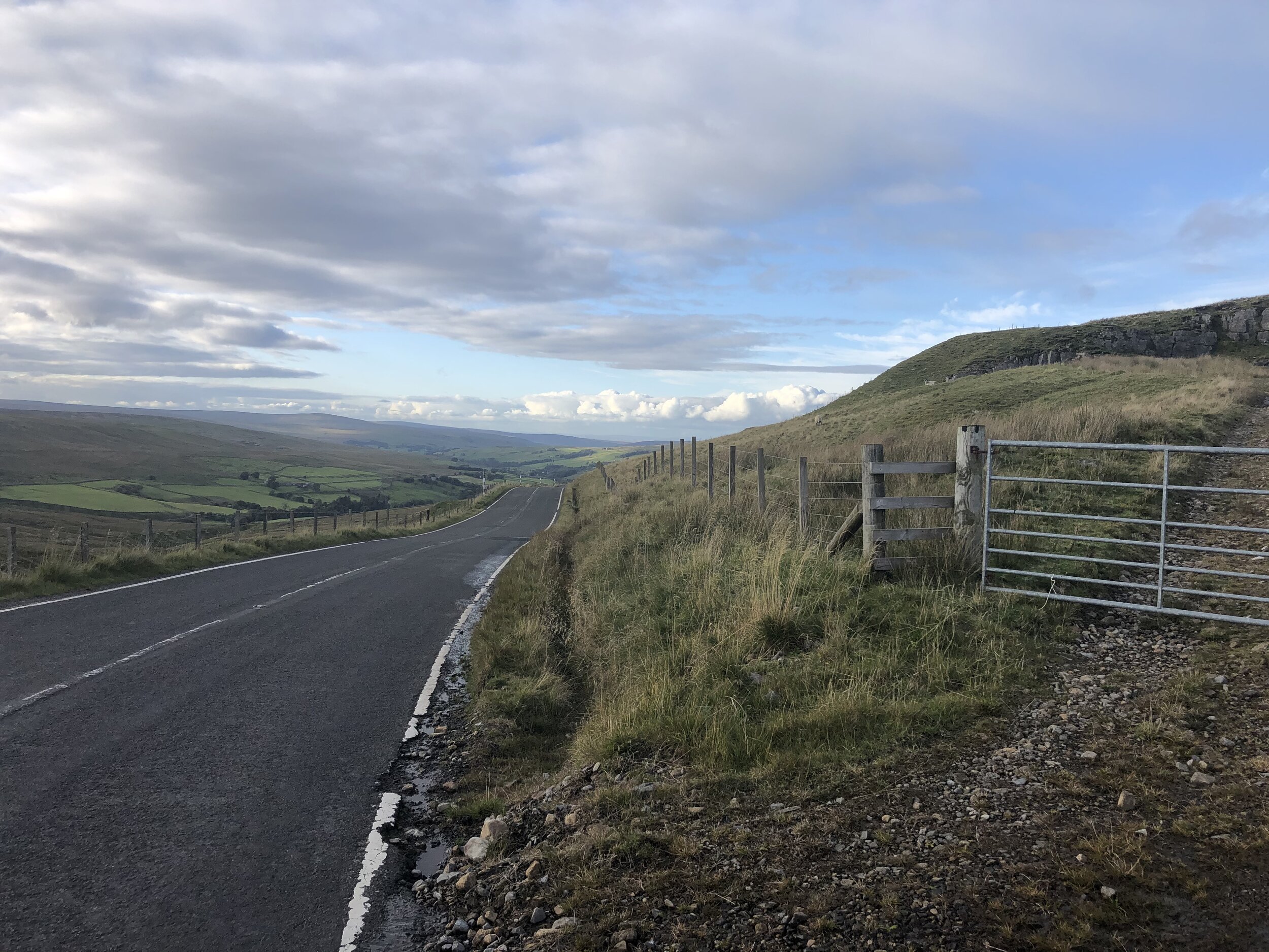
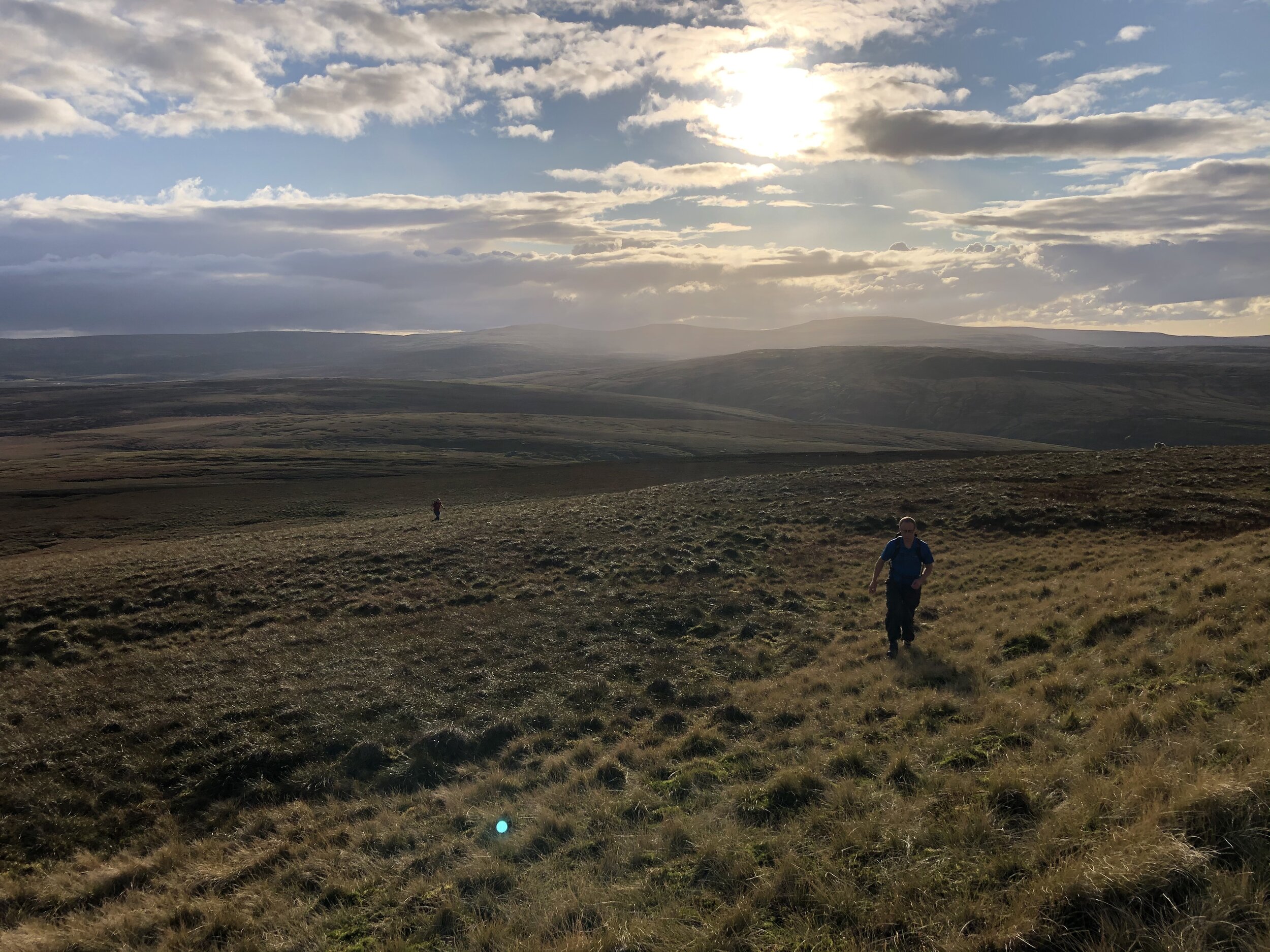
Burnhope Seat and Mickle Fell are a short car journey apart and can be easily done in a single day with fair weather. We had a long drive from the south which took up much of our first day so we used this short walk as a break in the journey.

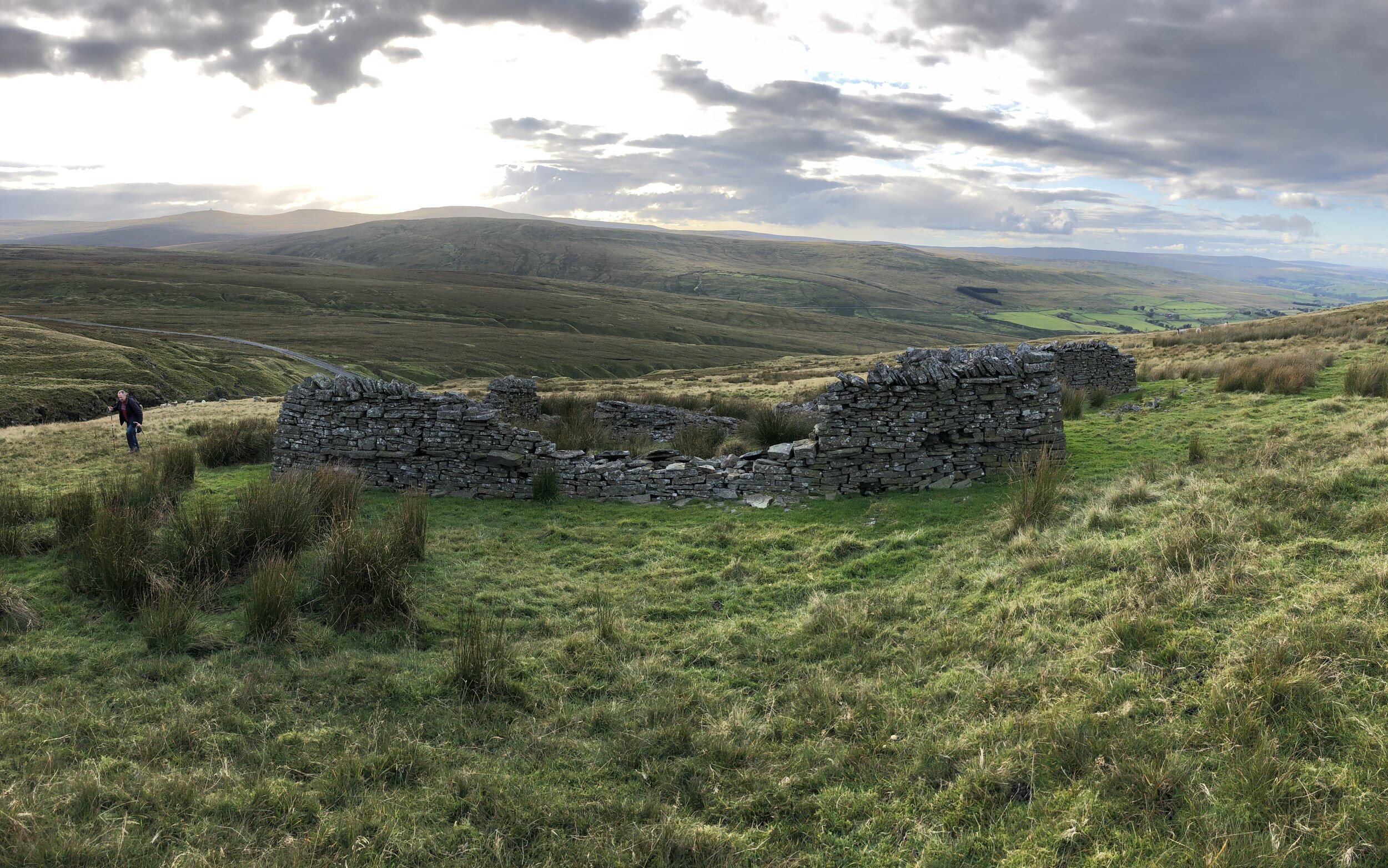
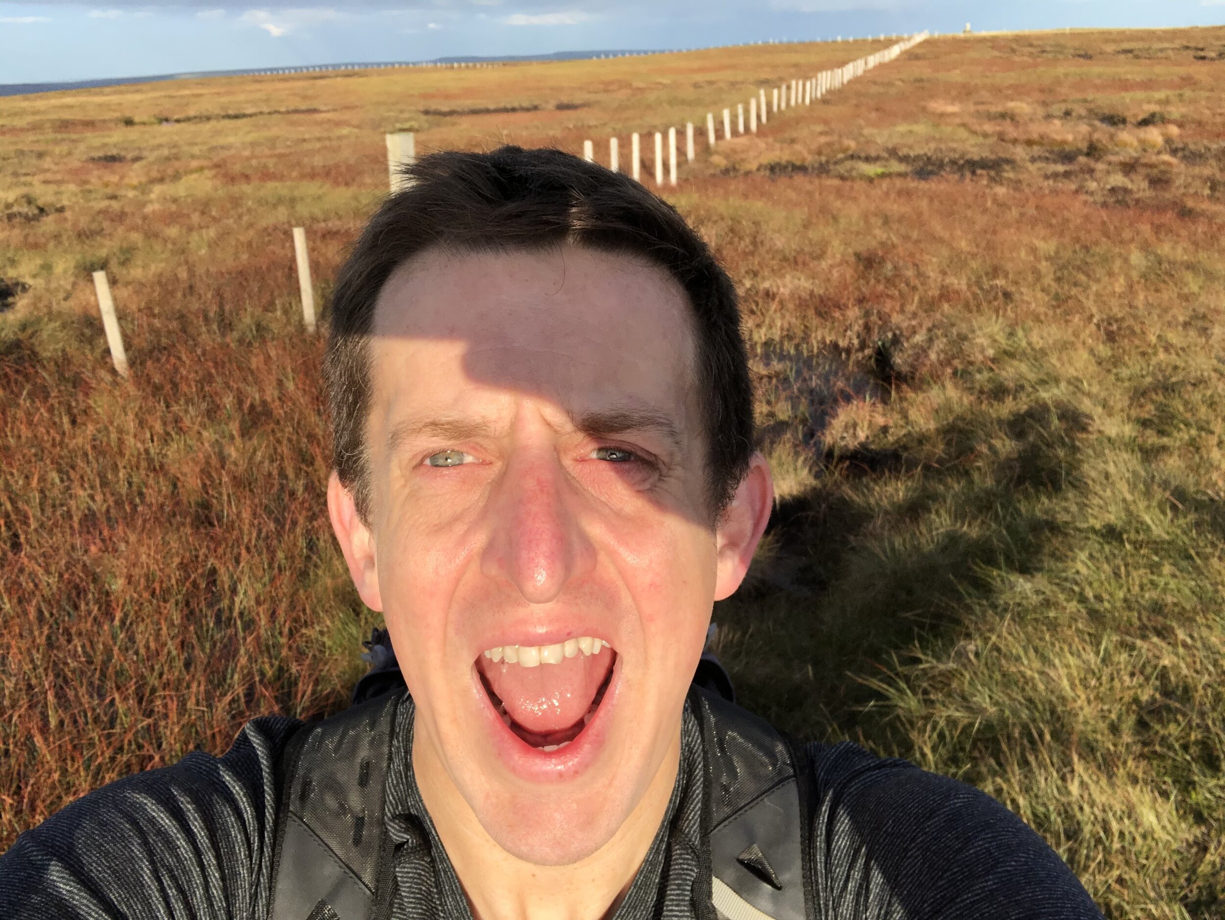
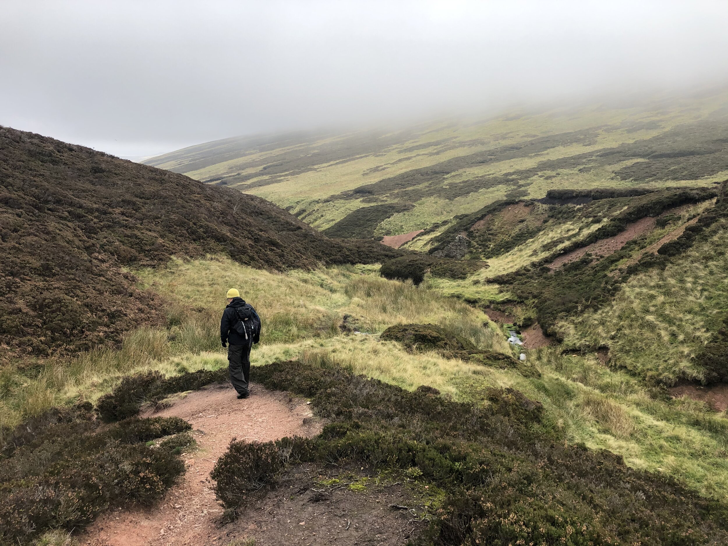
Jonny Muir’s County Top guide suggests a parking space on the B6277 at NY 7754 3640 but we found a more convenient one a bit further north on the same road. The layby in the book is quite small and at a steep angle from the road so we gave it a miss. From the larger layby near the stream bridge you can cross over a wooden gate on the opposite side. From here follow the left hand side of the stream, passing the ruins of an old building and use the GPS to keep you on-track for the high point. From the un-marked summit you can see the Trig Pillar to the east along the fence.


The Cheviot

Significance: Highest peak in Northumberland (Historic CT) and Northumberland National Park High Point
Member of: Marilyn, Hewitt, Nuttall
Parent Peak: Broad Law. NHN = Dollar Law
Elevation: 815m
Date climbed: October 2nd 2020
Coordinates: 55°28′42″N 2°08′44″W 
OS Trig Pillar: TP2152 - Cheviot
Links Wikipedia (Northumberland), Wikipedia (The Cheviot), Wikipedia (Northumberland National Park), Peakbagger, Hillbagging

Hangingstone Hill

Also Known As: Cairn Hill West Top
Significance: 
Highest peak in Roxburghshire, Scotland (Historic CT)
Member of: n/a
Parent Peak: Cairn Hill. NHN = The Cheviot
Elevation:
 743m
Date climbed: October 2nd 2020
Coordinates: 55° 28' 3'' N, 2° 9' 59'' W
Links: Wikipedia (Roxburghshire), Peakbagger, Hillbagging

Route Start / End: parking area off small road to Langleeford, accessed from A697 via Middleton Hall
Route Distance: 15.3 km (9.5 miles)
Route Elevation Change: +/- 620m
Subsidiary tops on route: Scald Hill (548m), Cairn Hill (777m)
GPX File: get via Buy Me a Coffee
Other routes touched (walk): The Pennine Way
Other routes touched (cycle): none
Map: OS Explorer OL16 The Cheviot Hills, Jedburgh & Wooler
Guidebook: The UK's County Tops (Jonny Muir), Walking the County High Points of England (David Bathurst)

This walk was the longest and most rewarding of the 3 especially as it's a circuit rather than an out-and-back like the others. If you’re using Jonny Muir’s guide this is a combination of the separate routes for The Cheviot and for Hangingstone Hill. It’s pretty obvious to do them both in the same walk so I’ve got no idea why they’re separated in the book. Both use the same start and end point and each trip is a return for the other.

We took an anti-clockwise approach taking in The Cheviot first via Scald Hill. Continuing south-west along the Pennine Way from The Cheviot you’ll soon get to the summit of Cairn Hill. From here there’s a short out-and-back section to the Scottish border to reach Hangingstone Hill (aka Cairn HIll West Top). There’s little to see here and bagging the top just involves a quick crossing of the gate to a slightly higher piece of moss.

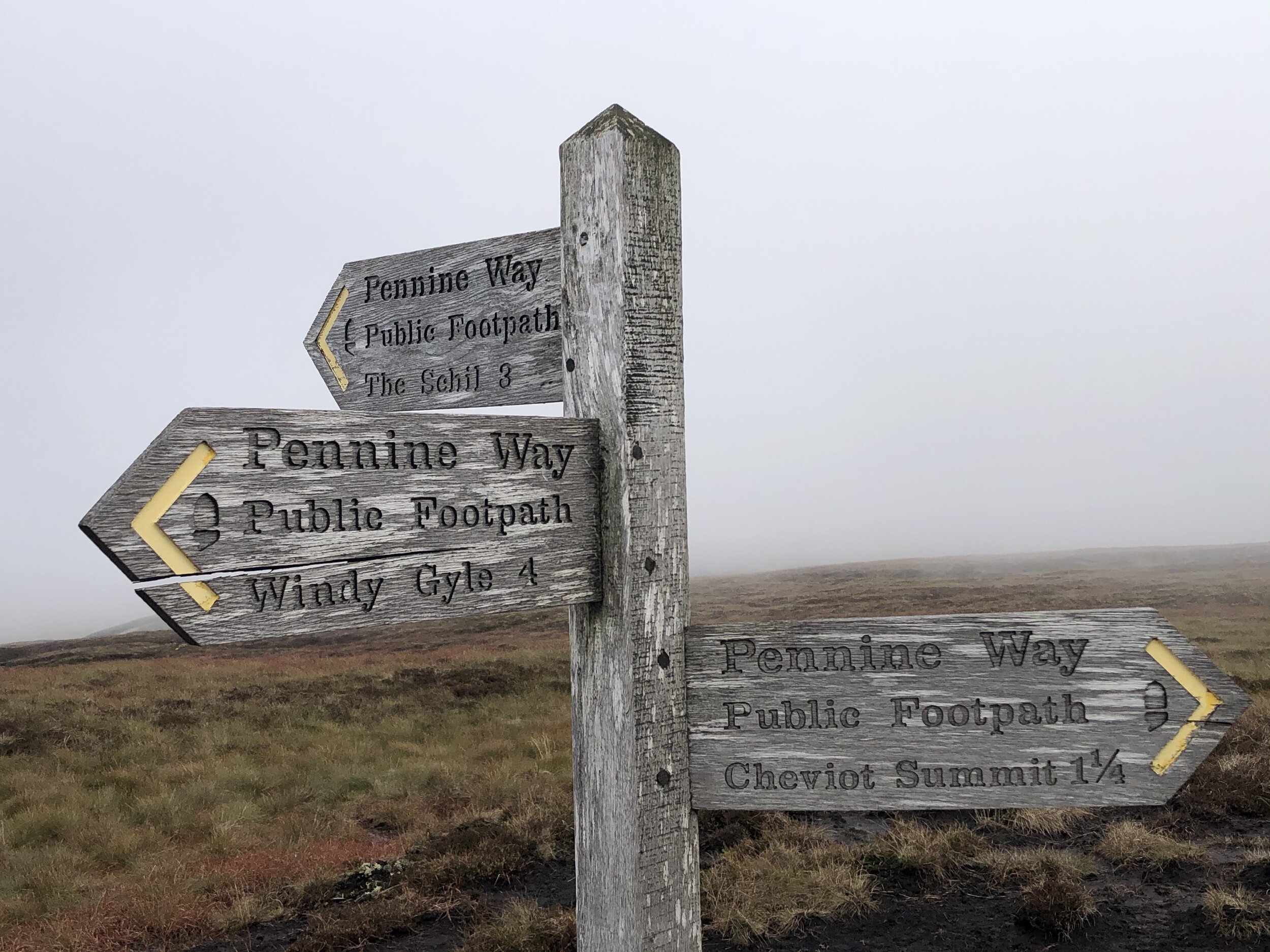
From Hangingstone Hill retrace your steps back up to Cairn Hill summit and follow the path sign-posted to Windy Gale. After a short steep section keeping a fence to your right you’ll reach a footpath junction. Take the east (left) path signed to Langleeford Hope (2¼) and Langleeford (3½). This path will take you all the way back to the start following Harthope Burn (stream).


Mickle Fell

Significance: Highest peak in Yorkshire (Historic CT) and the historic North Riding of Yorkshire
Member of: Marilyn, Hewitt, Nuttall
Parent Peak: Cross Fell. NHN = Knock Fell
Elevation: 788m
Date climbed: October 3rd 2020
Coordinates: 54°36′48″N 2°18′18″W
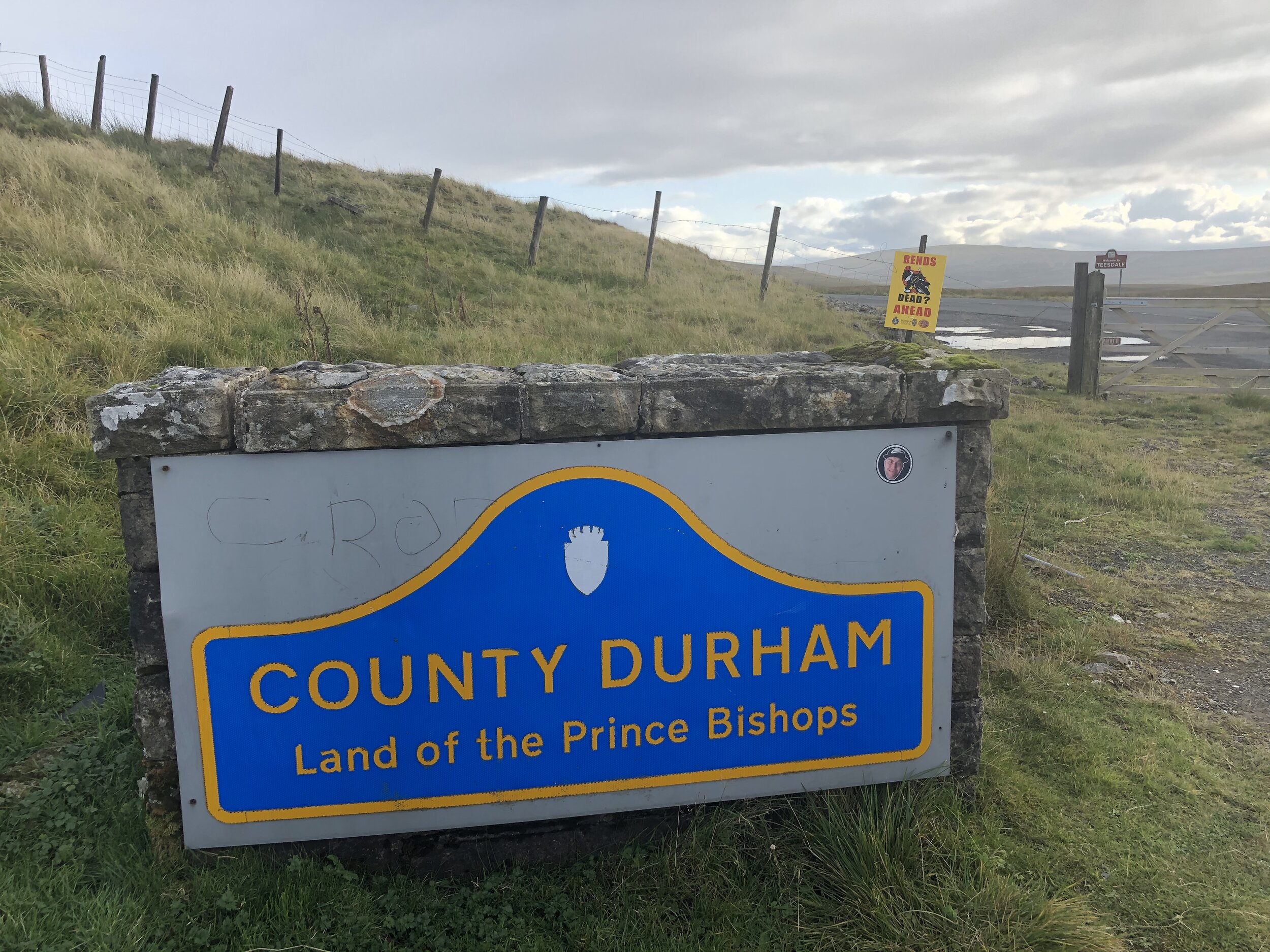
Route Start / End: Parking spot on B6276 to west of cattle grid between the Cumbria and County Durham county signs.
Route Distance: 17.2 km (10.7 miles)
Route Elevation Change: +/- 505m
Subsidiary tops on route: none
GPX File: get via Buy Me a Coffee
Other routes touched: none
OS Trig Pillar: TP4789 - Mickle Fell
Map: OS Explorer OL19 Howgill Fells Upper Eden Valley Map
Guidebook: The UK's County Tops (Jonny Muir), Walking the County High Points of England (David Bathurst)
Links: Wikipedia (Yorkshire), Wikipedia (North Riding of Yorkshire), Wikipedia (Mickle Fell) / Peakbagger, Hillbagging

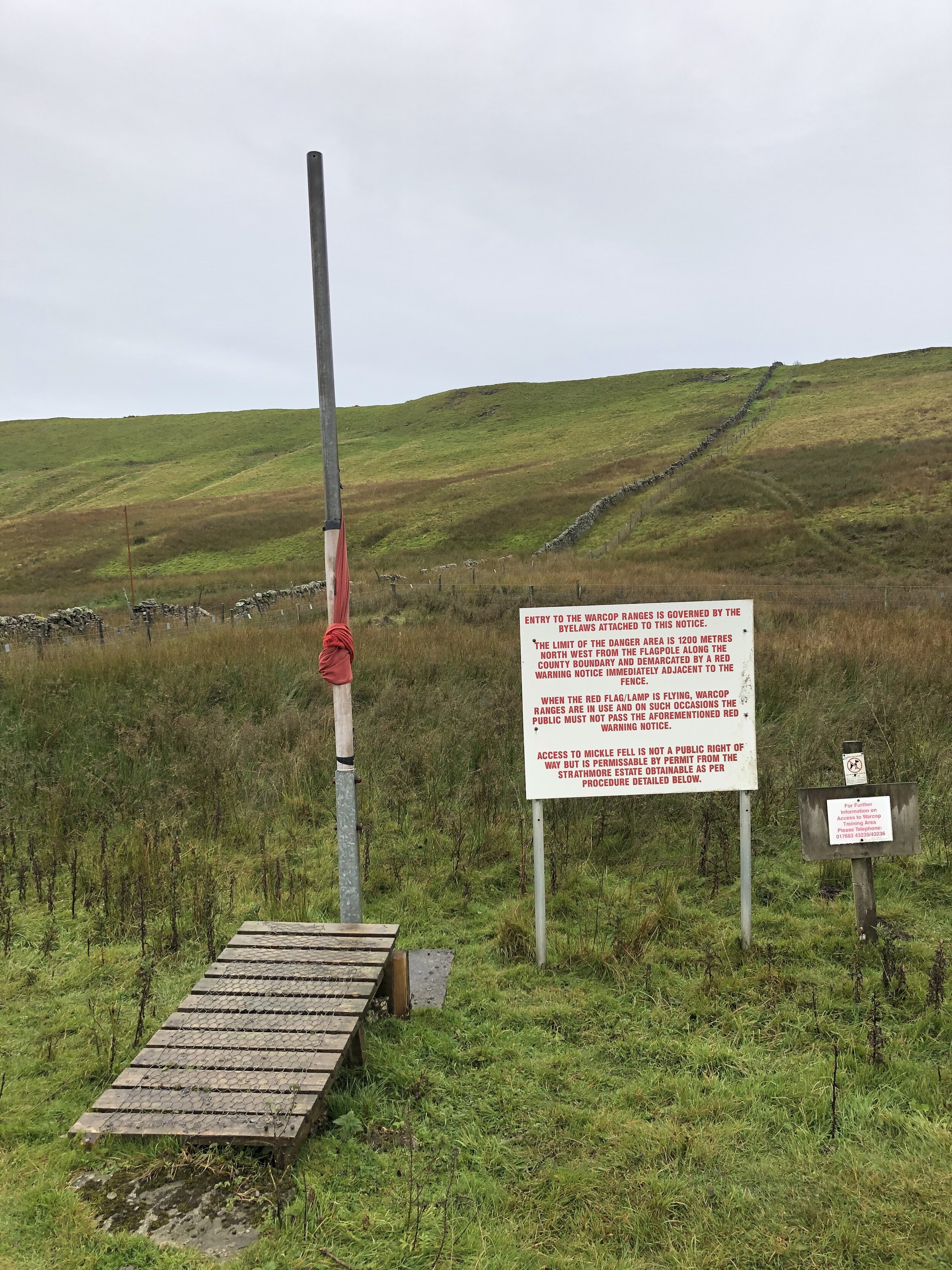
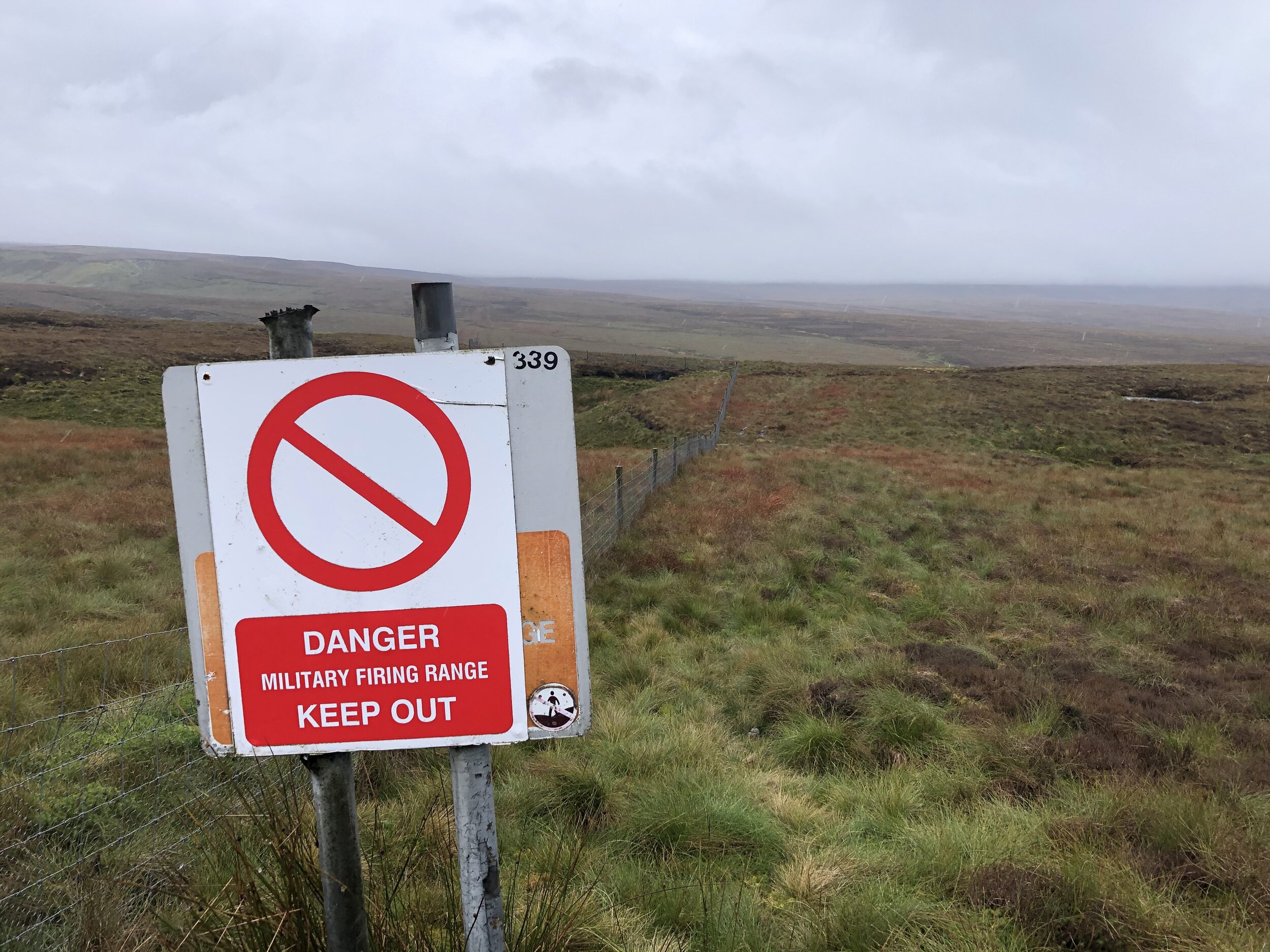
Mickle Fell is on a military firing range which is only open to the public on a few select days per year. You can apply for a permit to access the land from MOD Warcop. Based on our experience I recommend starting the application process early. It took over 3 months for me to get the permit from sending the application letter. There’s nothing complicated about the process, it’s just slow. With the permit secured the other thing that you need to do is call the control room number on the permit as you start the walk and again when you finish. We didn’t have phone signal at all on the walk so we were glad to have made the call in the car 10 minutes before arriving at the parking space.

The parking space is easy to find as it’s right next to the Welcome to Cumbria sign. From here cross the road and over a wire fence to access the hill. Strangely there’s no gate or stile even though this is the recommended approach. You can see where others have climbed through or over the fence though.

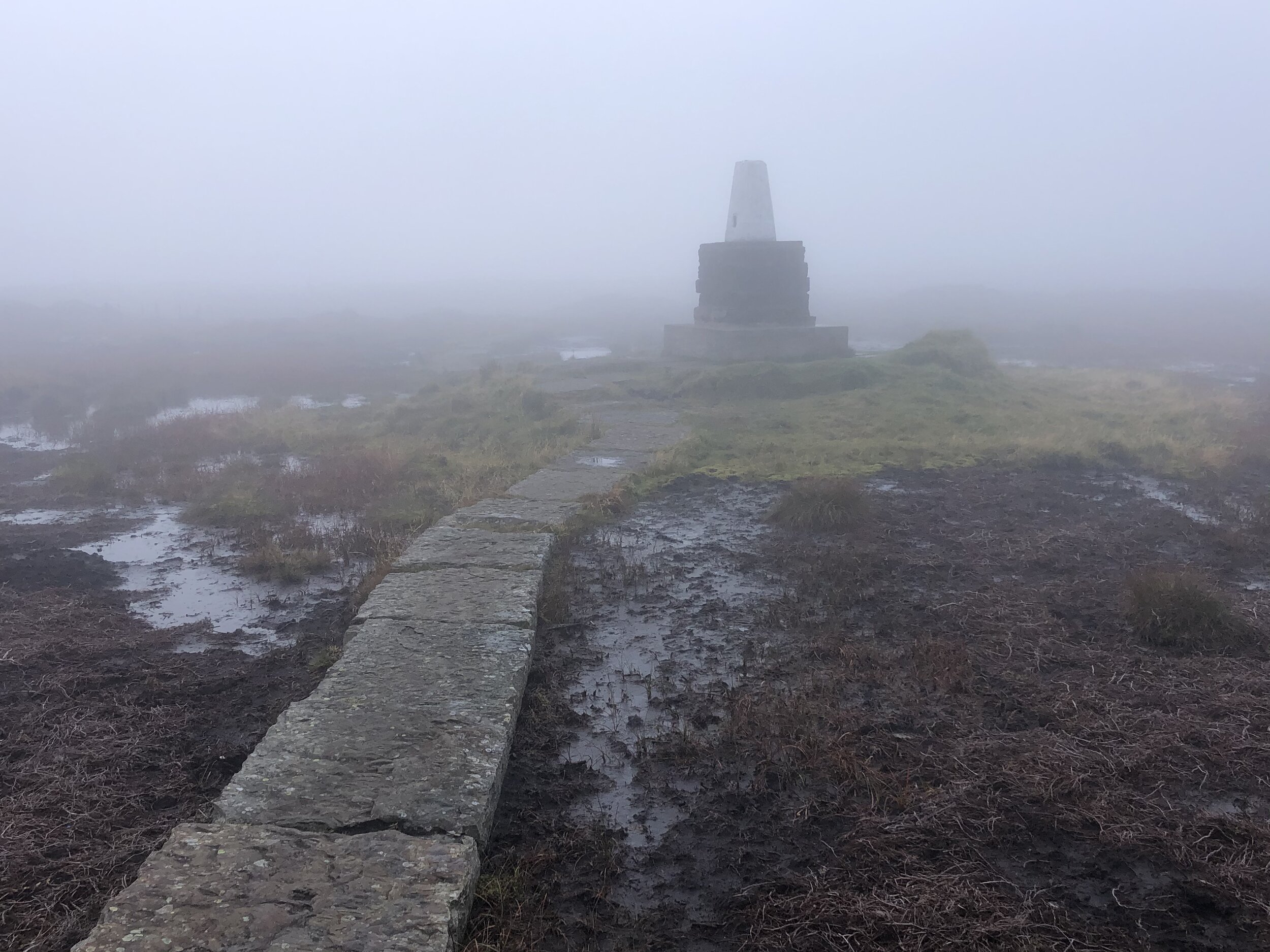
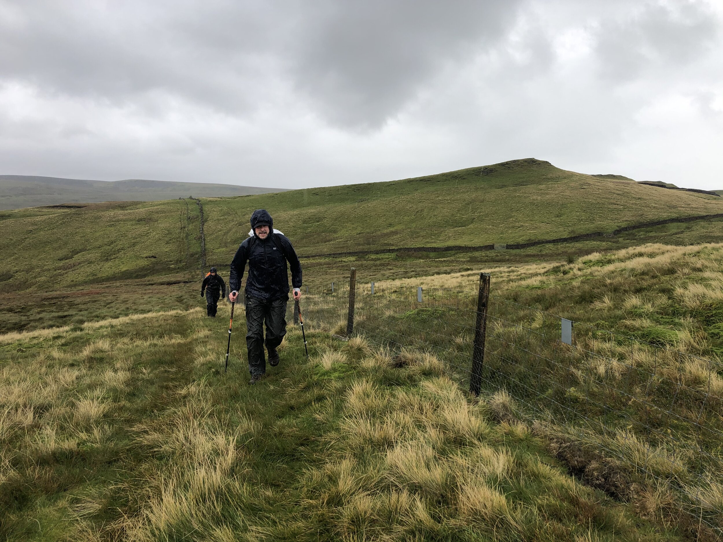
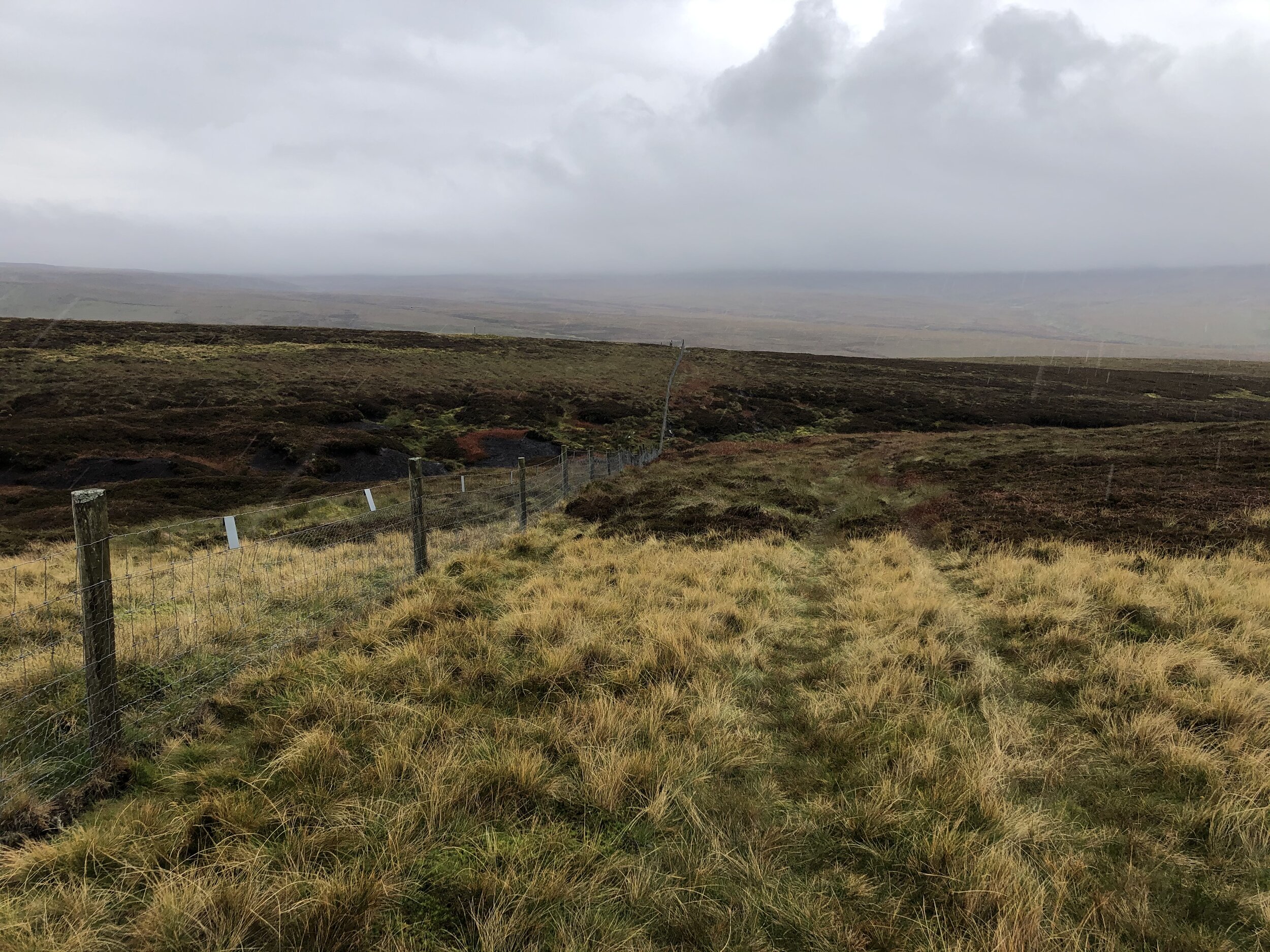
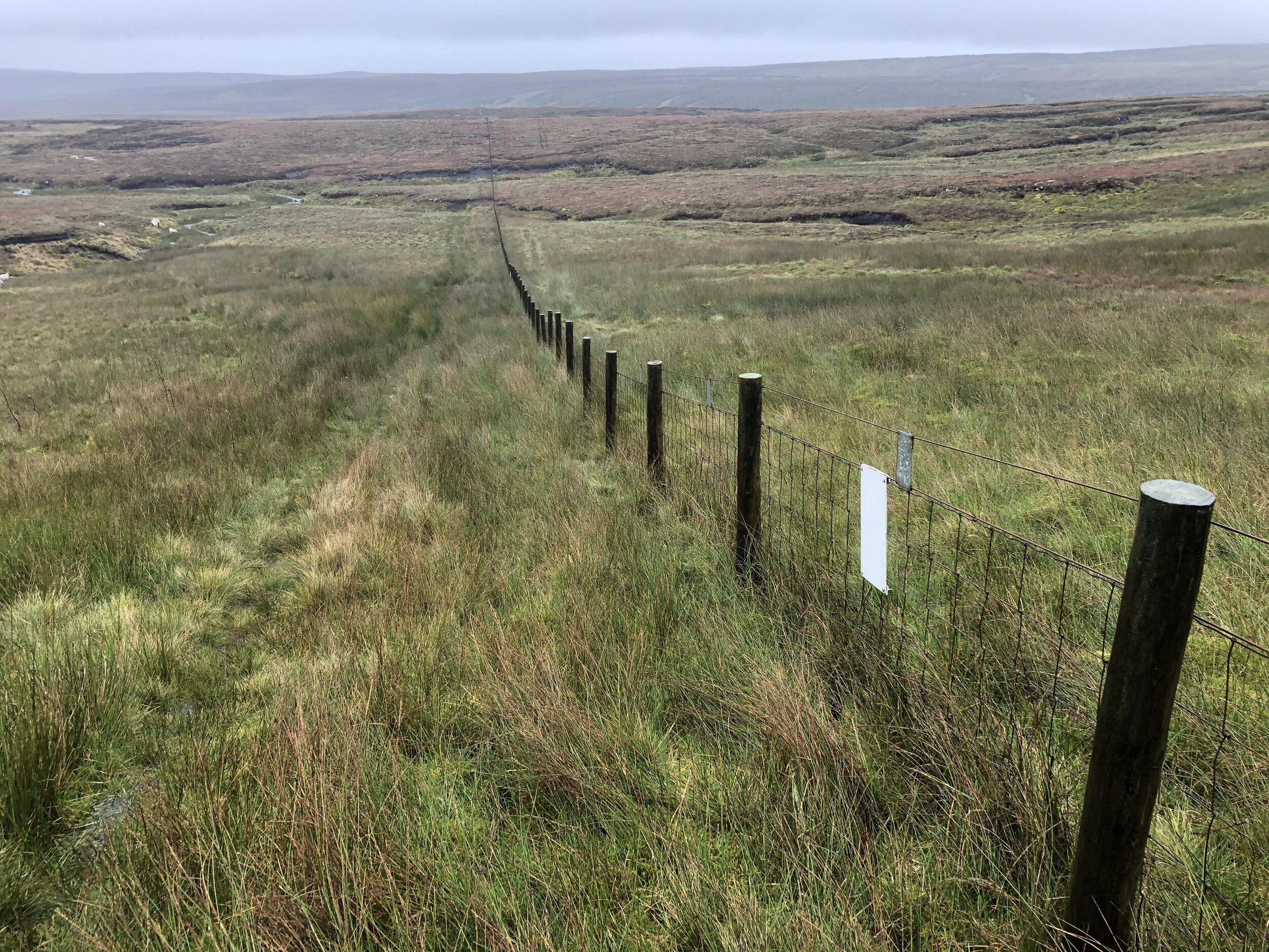
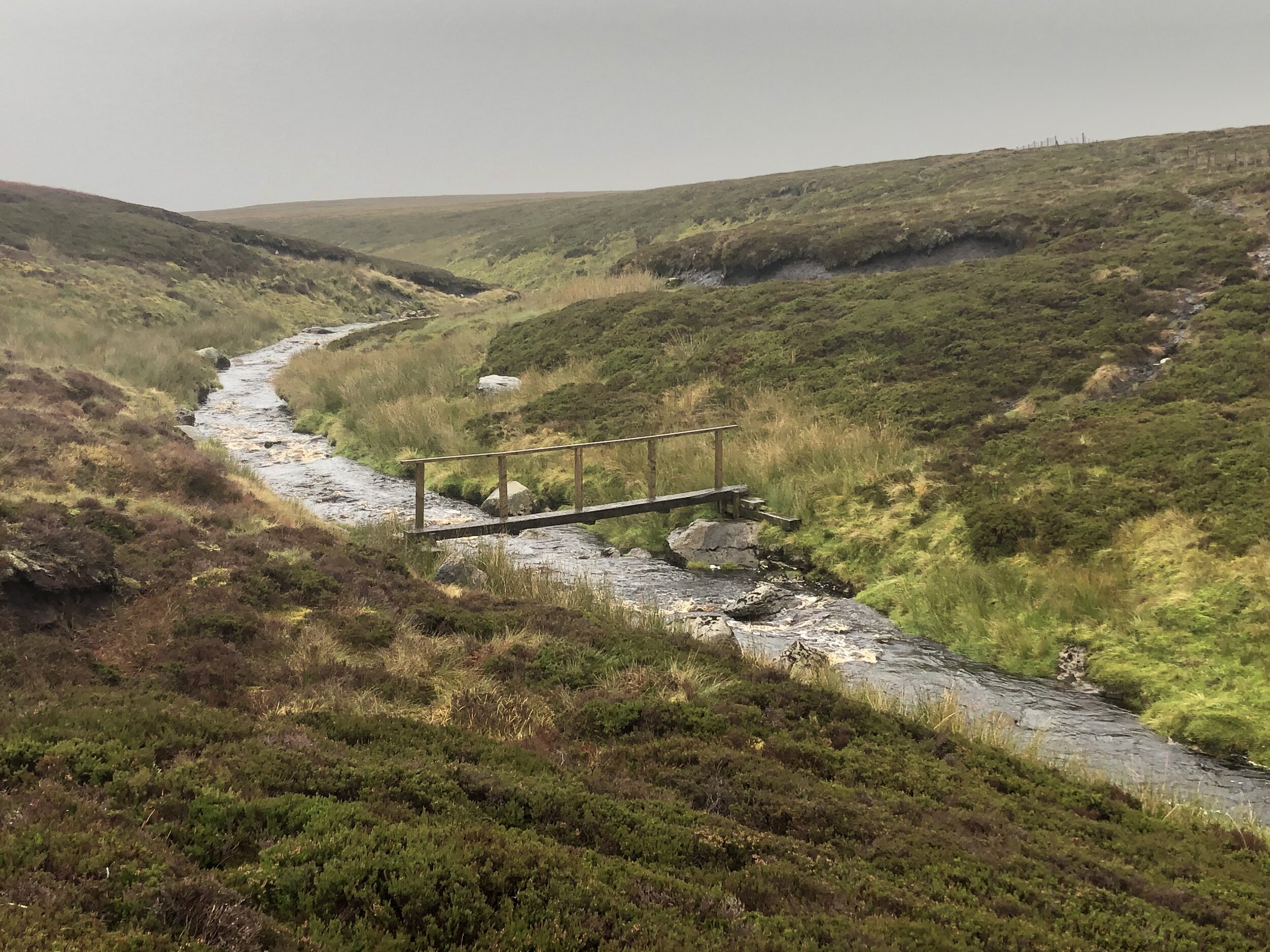
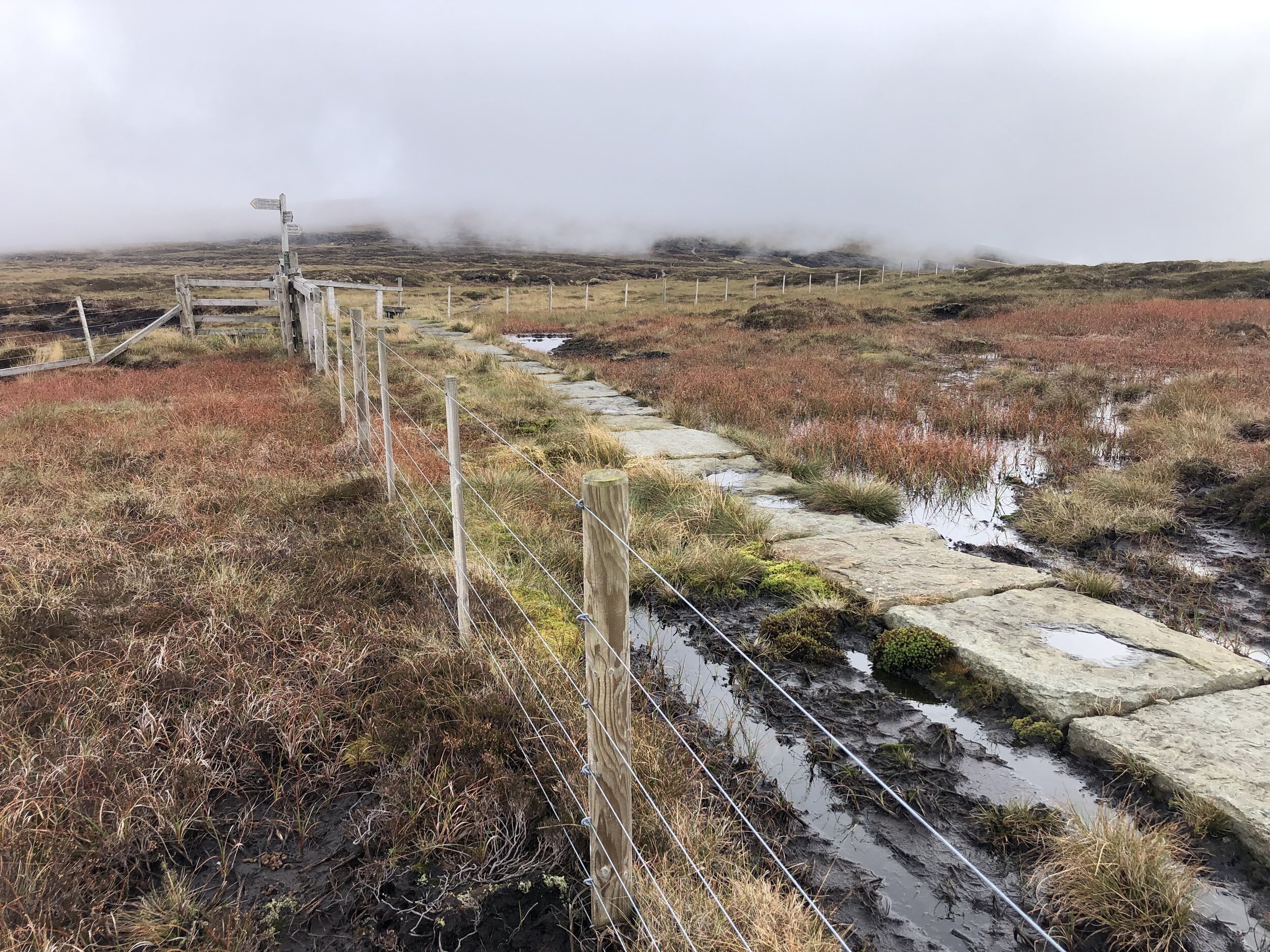
Much of the walk is very easy to navigate, even on a low-visibility day like we had. Follow the boundary fence, keeping it to your left all the way up to the summit plateau. A lot of the route is boggy underfoot and you’ll need to navigate around streams, loose peat and marsh-land. We were there on an especially wet day and it was all we could do to keep our feet dry.

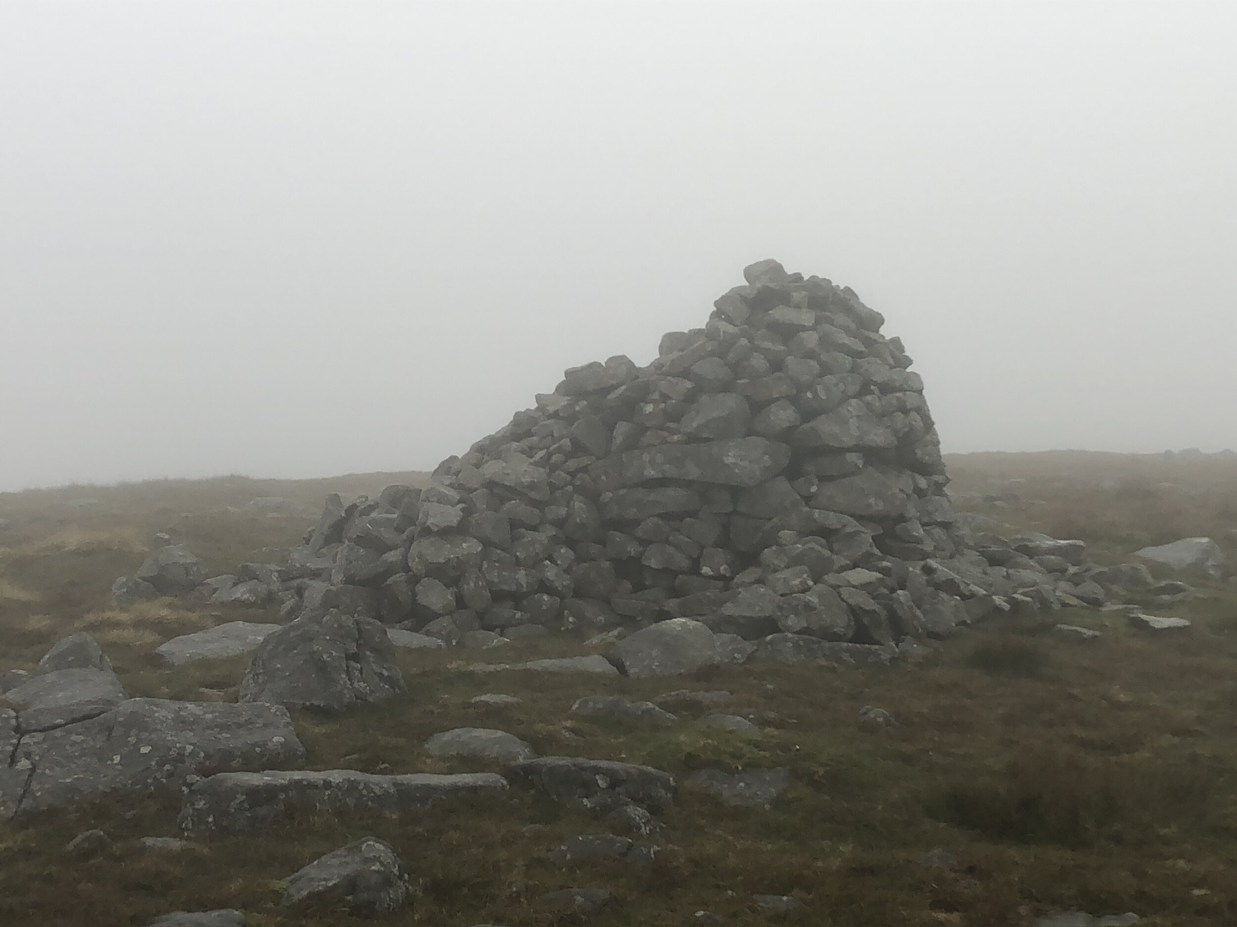
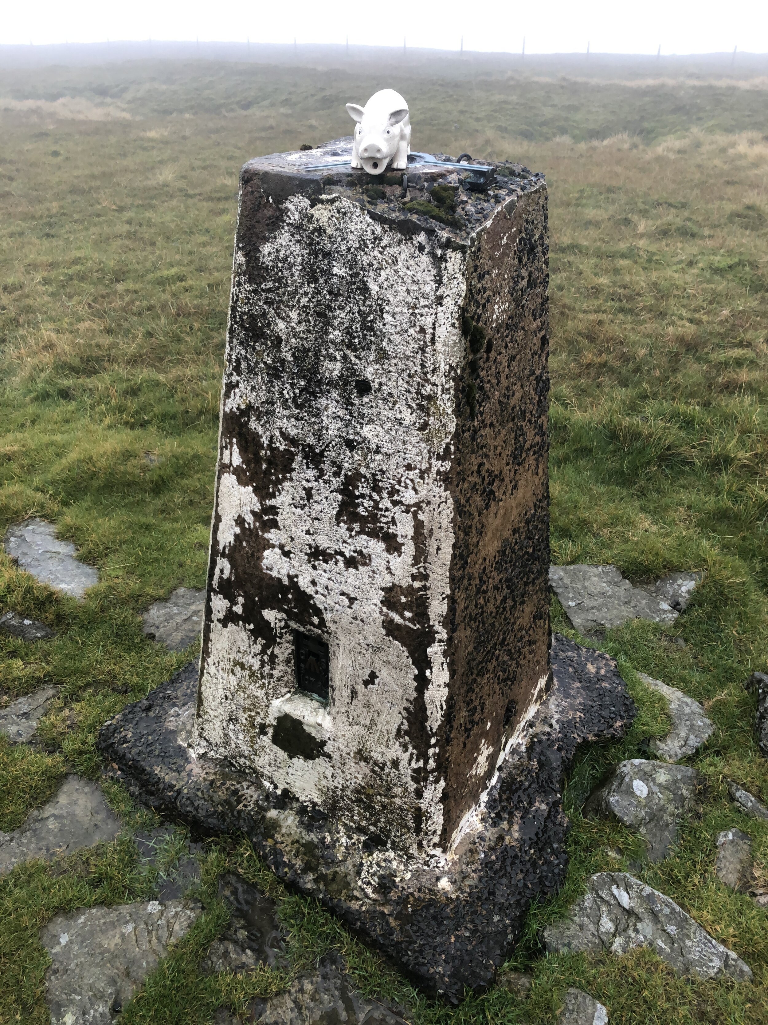
There’s a steep climb up to the summit plateau where you’ll cross a fence via a stile and can pick up some Land Rover tracks. Keep to these heading on an easterly curve and they’ll lead you to the summit cairn and the Trig Pillar.

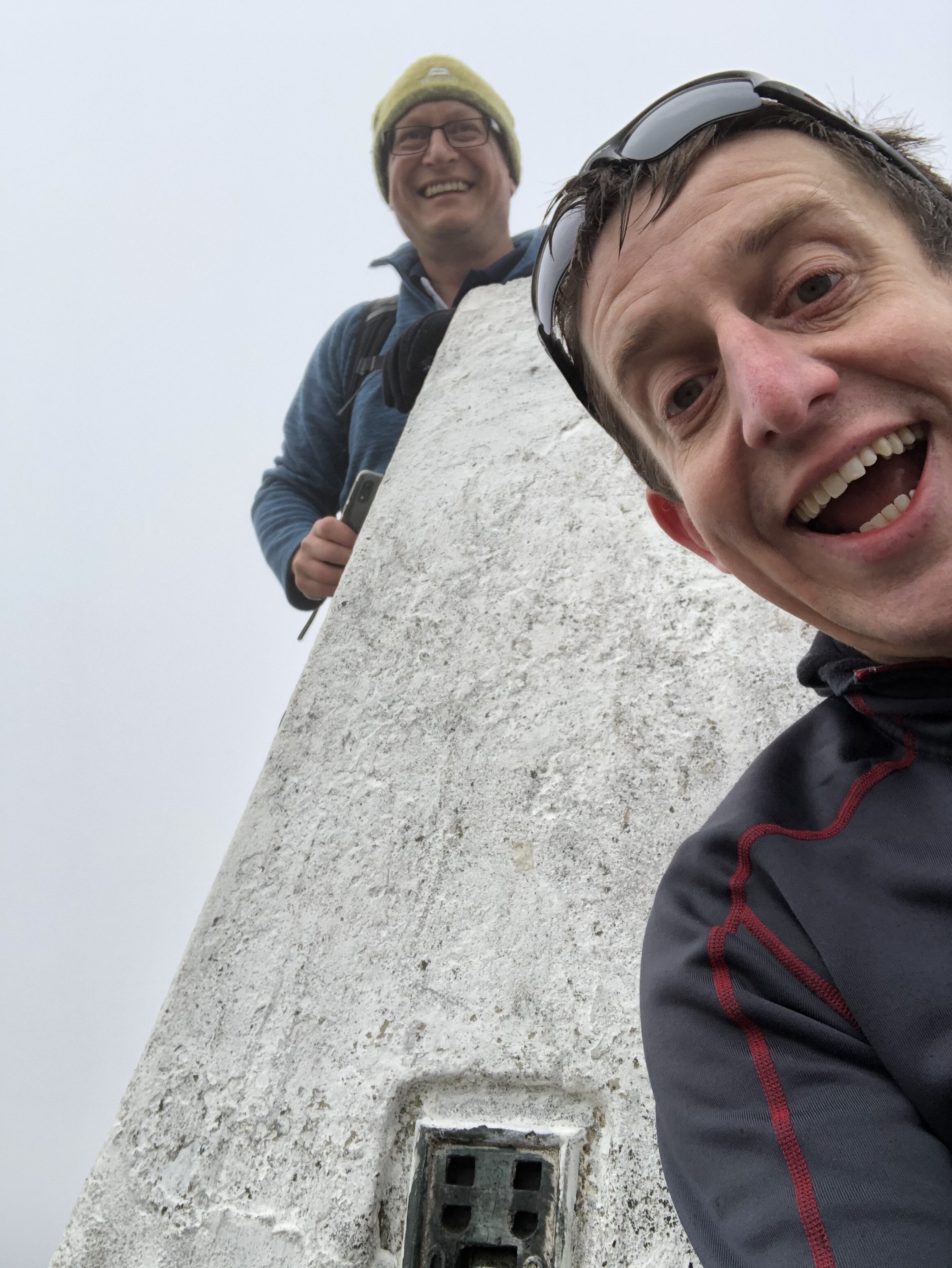
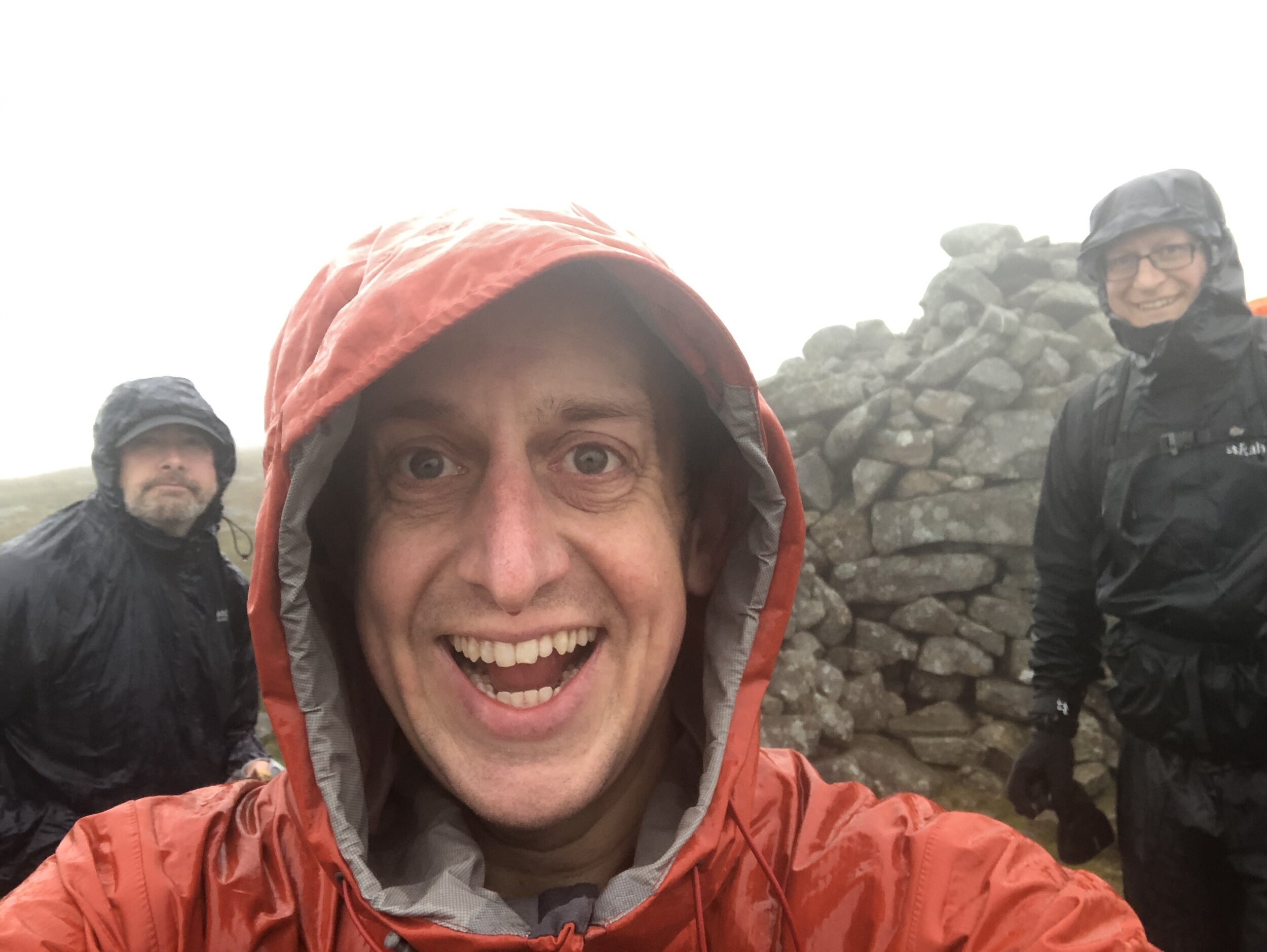
We were there on one of the wettest days possible. If the route was closer to home and we didn’t need a permit we might have delayed it for another day, but we had little option but to press on. The only other person we met on the approach had reached the summit but hadn’t bothered with the extra ~2km to the Trig Pillar. I could see how tempting it would have been on a day like that to have missed it. Given our Trig-obsession we weren’t going to miss it though and took the extra hour to bag the pillar.

The descent was much quicker as we had abandoned any attempt to avoid the wet marsh and mostly walked straight through it. At 5.5 hours of driving rain we arrived at the car as wet as if we had swum to the summit. It was challenging but it also meant that I had now completed all County Tops in England, Wales and Northern Ireland.

Now for the rest of Scotland…


OTHER HIGH POINTS IN County Durham

OTHER HIGH POINTS IN Northumberland

  • Westerhope (131m) North Tyneside Unitary Authority High Point: Peakbagger / Hillbagging

  • Camperdown (86m) North Tyneside Unitary Authority High Point: Peakbagger / Hillbagging

OTHER HIGH POINT IN Yorkshire