Littlewick Green, Ashley Hill and Knowl Hill Circular Walk

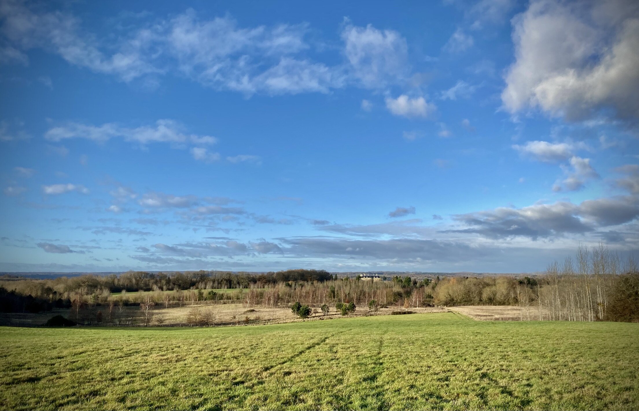
View to Robinswood, north-west of Ashley Hill
Start & Finish: Parking spaces on north-east corner of Littlewick Green, near corner of Gilchrist Way and Jubilee Road, SL6 3RF
Distance: 9.9 km (6.1 miles)
Elevation change: + / - 135m
GPX File: get via Buy Me a Coffee
Other routes touched (walk): Chiltern Way Berkshire Loop, Wokingham Way, Hurley and Ashley Hill Circular Walk
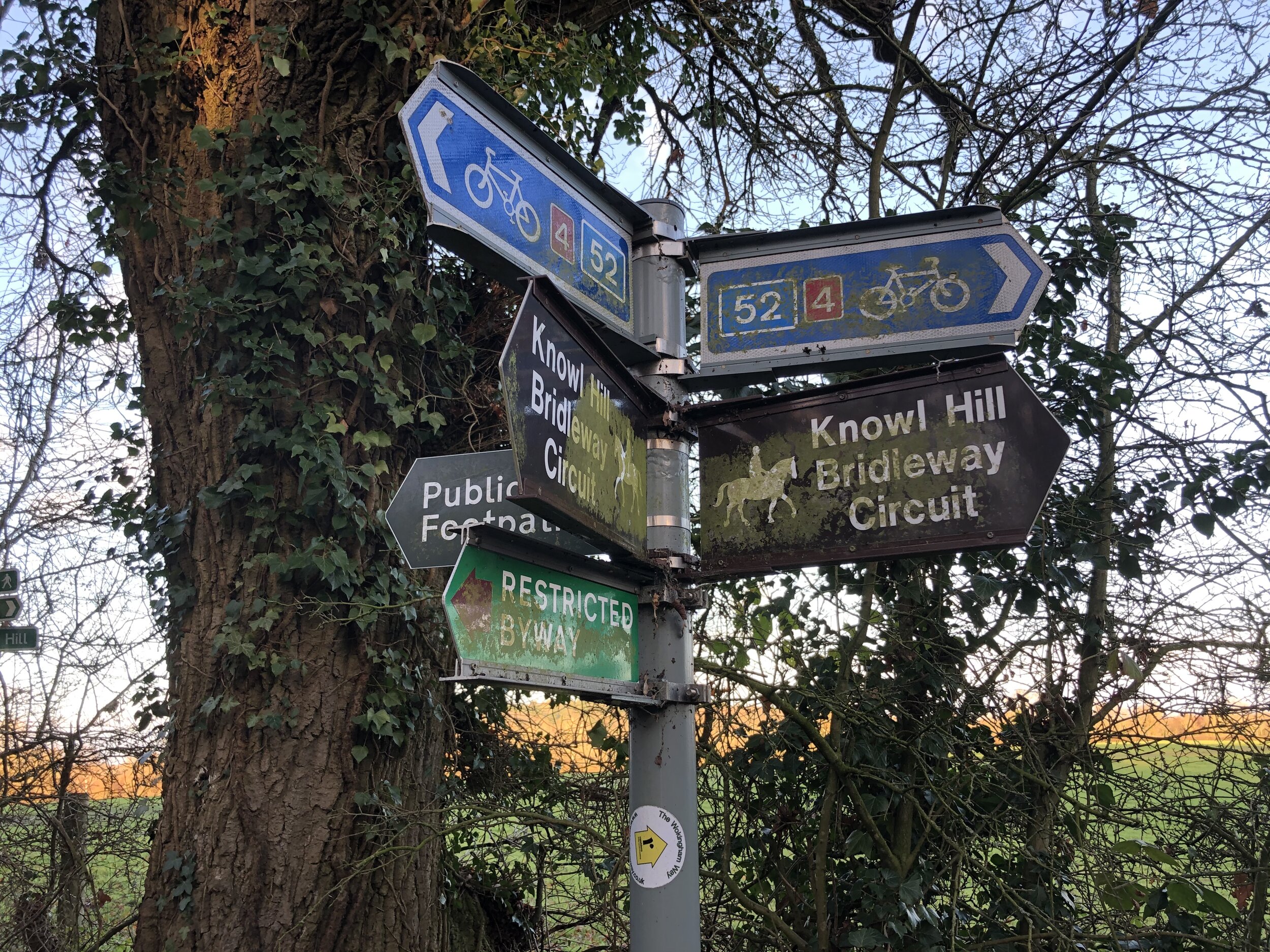
Other routes touched (cycle): NCN 4, Round Berkshire Cycle Route 52
Other Routes Touched (horse): Knowl Hill Bridleway Circuit
Pubs / Cafes on route: The Cricketers, Littlewick Green
Map: OS Explorer Map (172) Chiltern Hills East and OS Explorer Map (171) Chiltern Hills West, Henley-on-Thames and Wallingford
Links: Littlewick Green, Knowl Hill, Ashley Hill
Having lived in Littlewick Green for about 15 years I’d walked, ran and cycled pretty much every path around there. This was a return trip after 8 years to see what had changed and for another visit to Ashley Hill.
Public transport options are limited, although there’s a bus stop on the A4 at the junction of Jubilee Road and Green Lane. If you’re drivin, the best places to park are by the big tree on the north-east corner of Littlewick Green or outside the Cricketers. Save the drink at the Cricketers for the end though and start the walk by heading north up Green Lane. At the end of Green Lane continue north onto Burchett’s Green Lane. Here you can either visit The Crown pub or take a short cut left through woods to avoid the village centre. Cross over Burchett’s Green Road and through the Berkshire College of Agriculture land to Honey Lane.
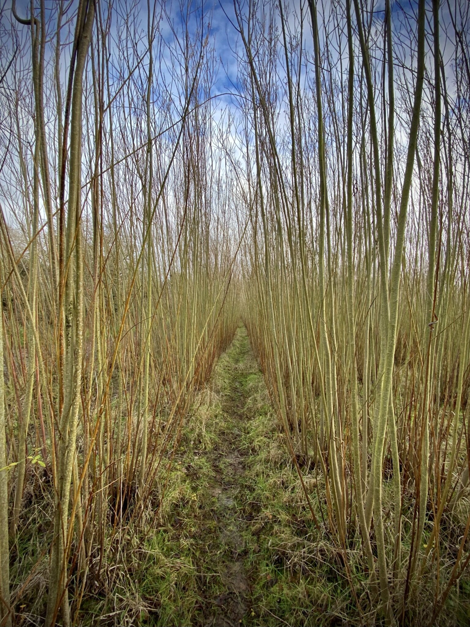
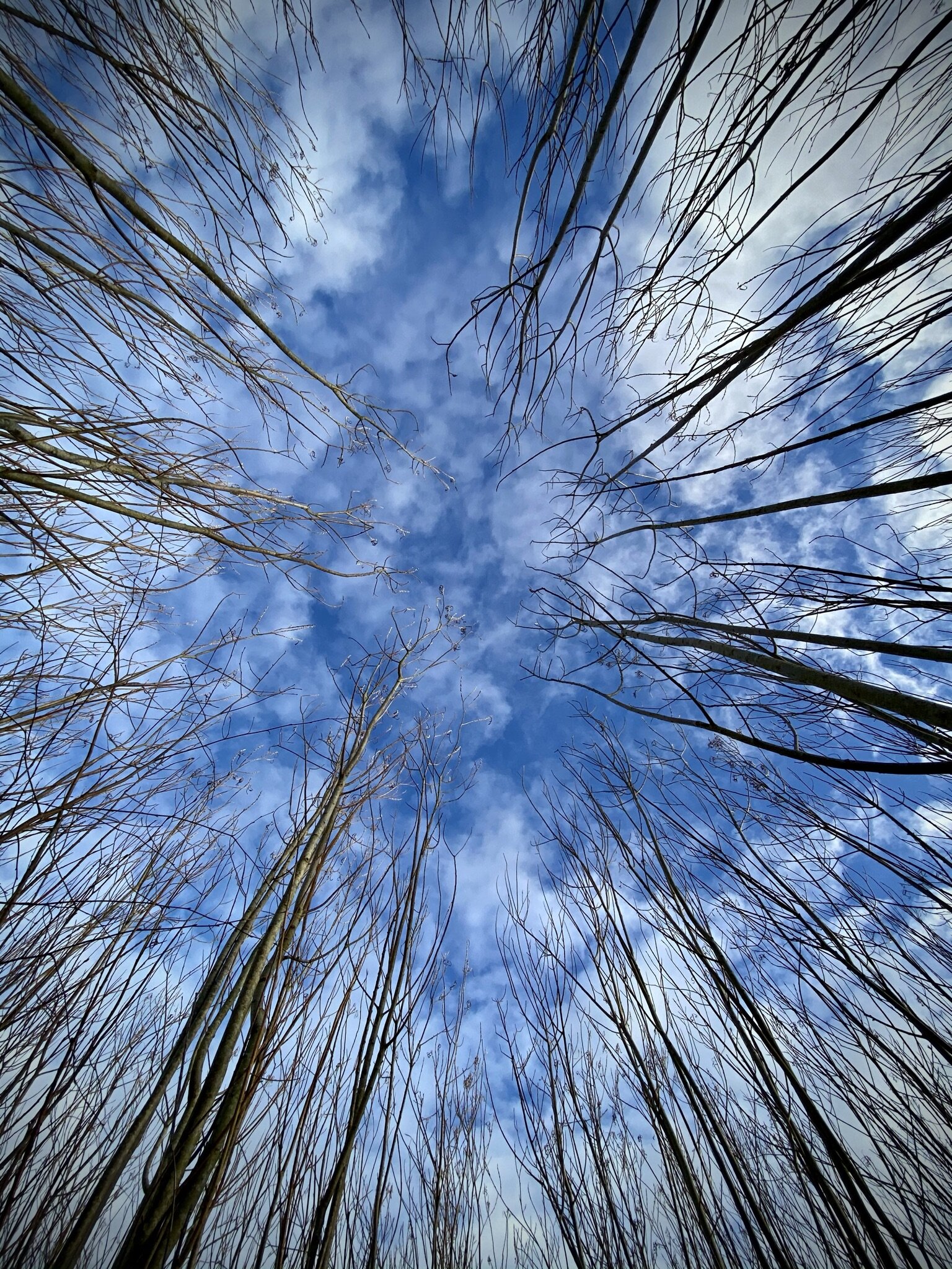
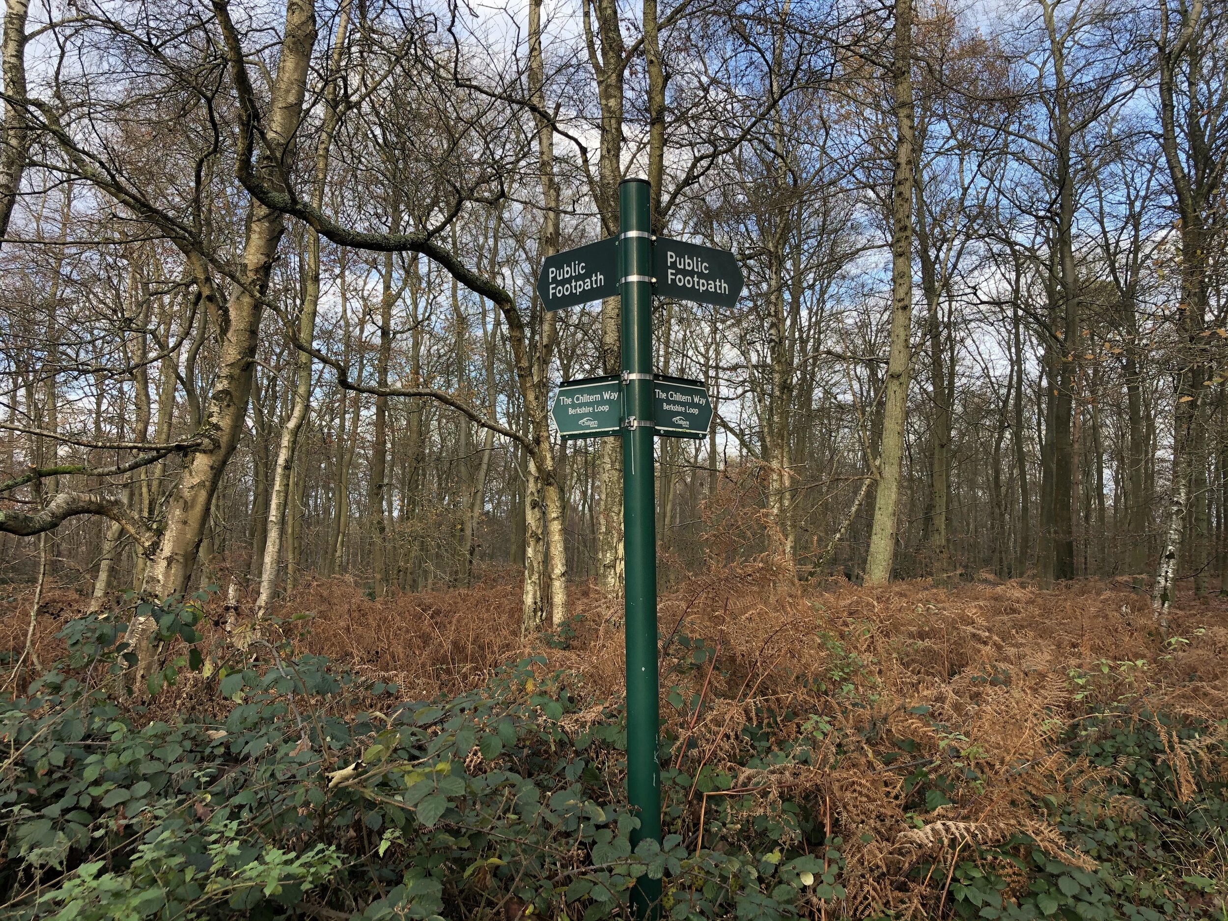
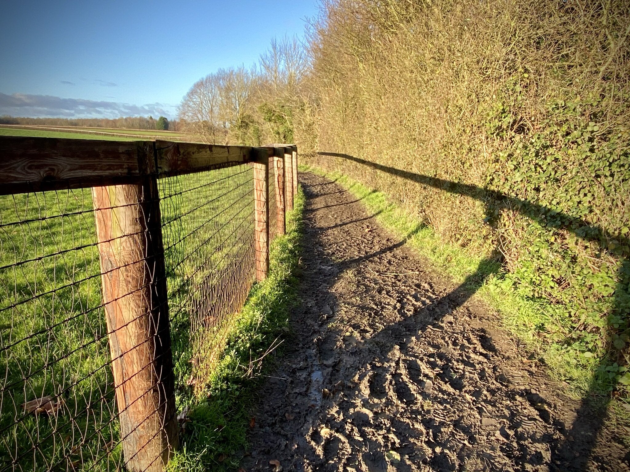
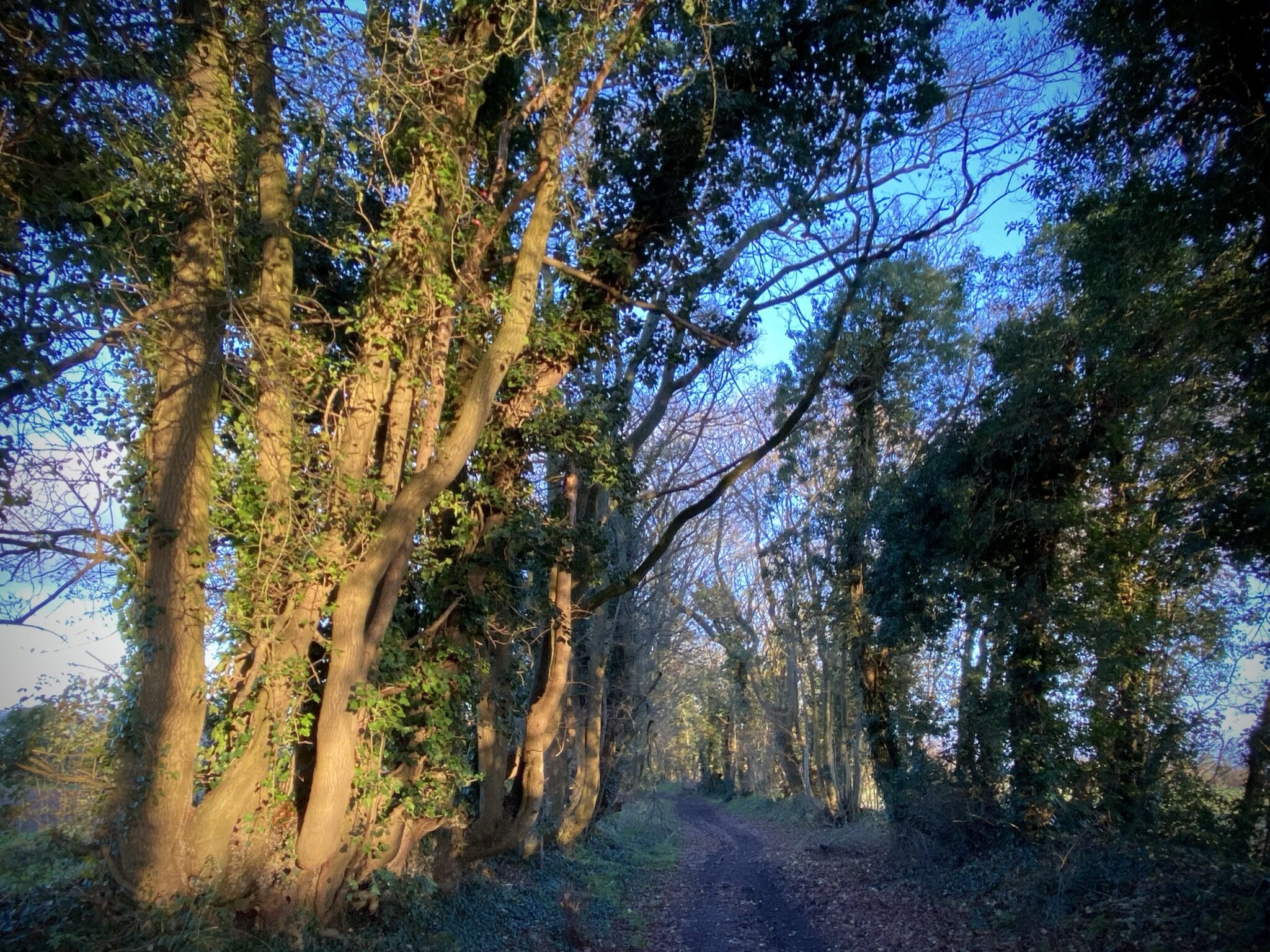
From Honey Lane you’ll be following the Chiltern Way Berkshire Extension through Ashley Hill woods and open fields to Warren Row. The summit of Ashley Hill, the highest point in the Royal Borough of Windsor and Maidenhead is in the grounds of a large house. We spent a few minutes looking for a sight of the OS Trig Pillar but there was too much hedging around the property. The green Chiltern Way footpath sign is the closest you’ll get to the summit.
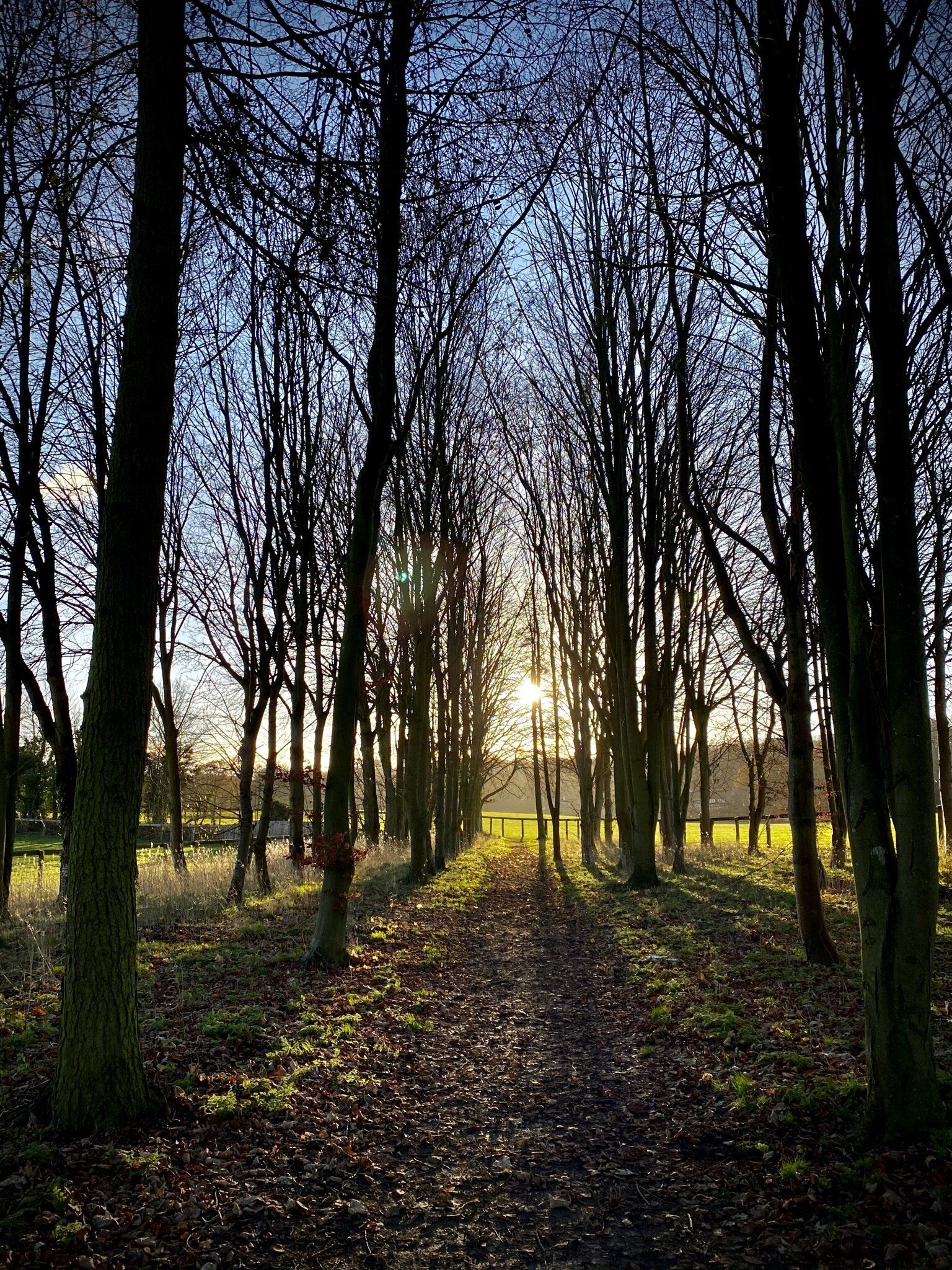
At Warren Row Road you’ll leave the Chiltern Way and join Star Lane through woods down to Knowl Hill and back to the A4. Cross the A4 and follow Knowl Hill Common road and the Knowl Hill Bridleway Circuit east back to Littlewick Green.