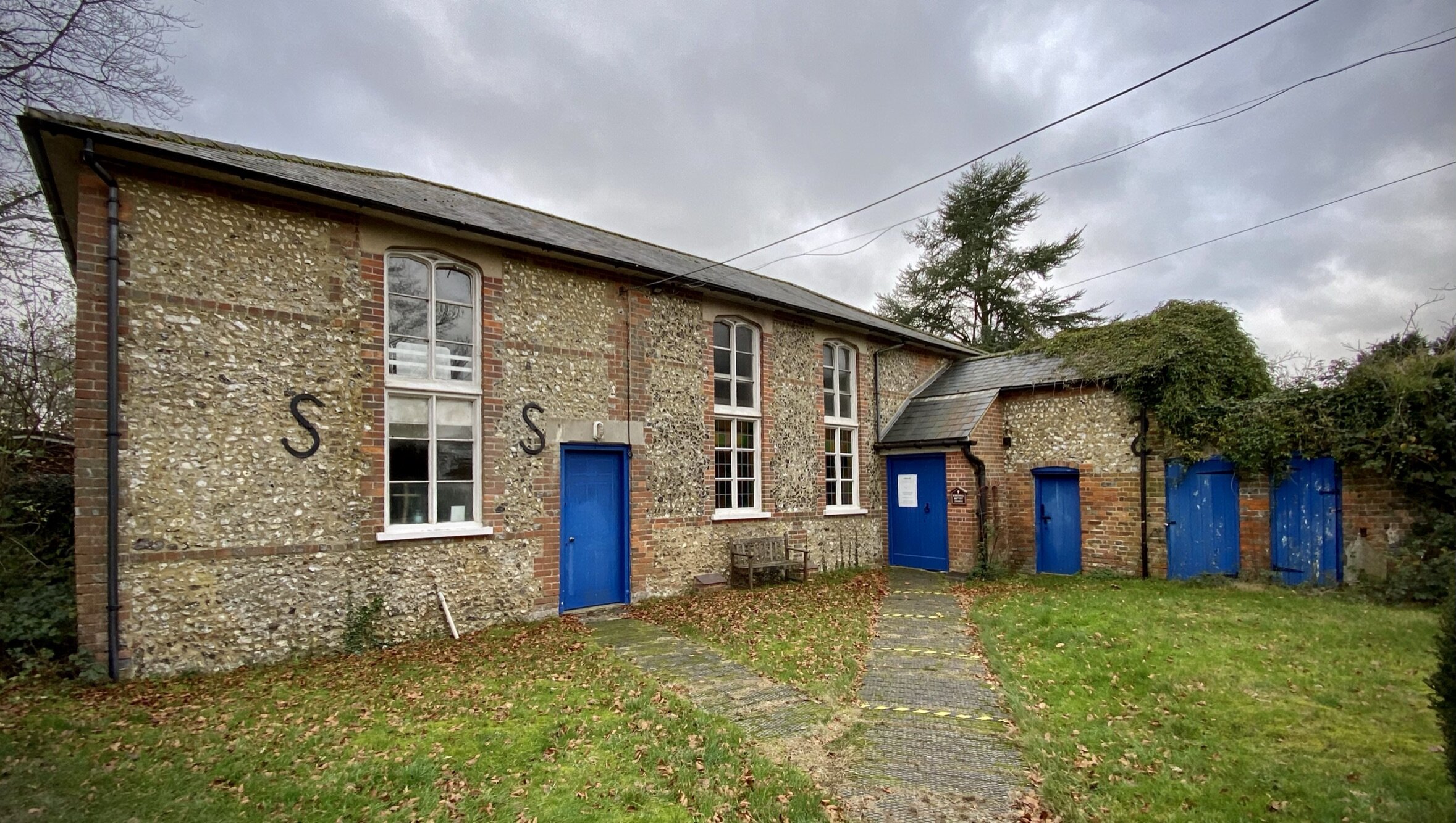
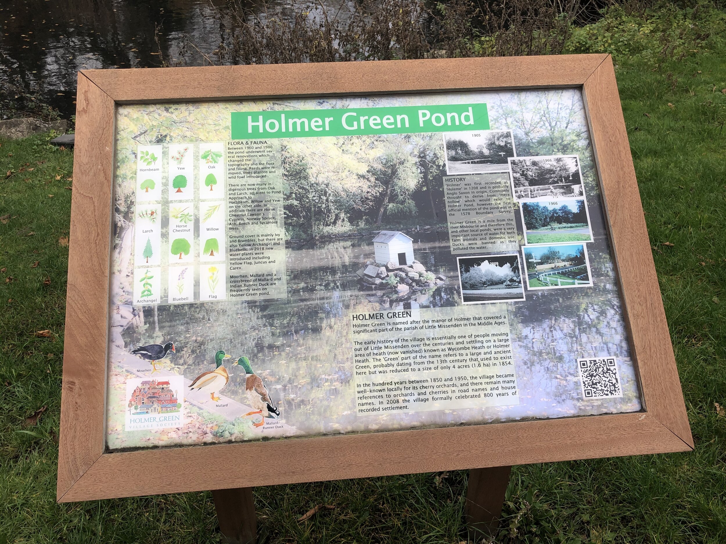
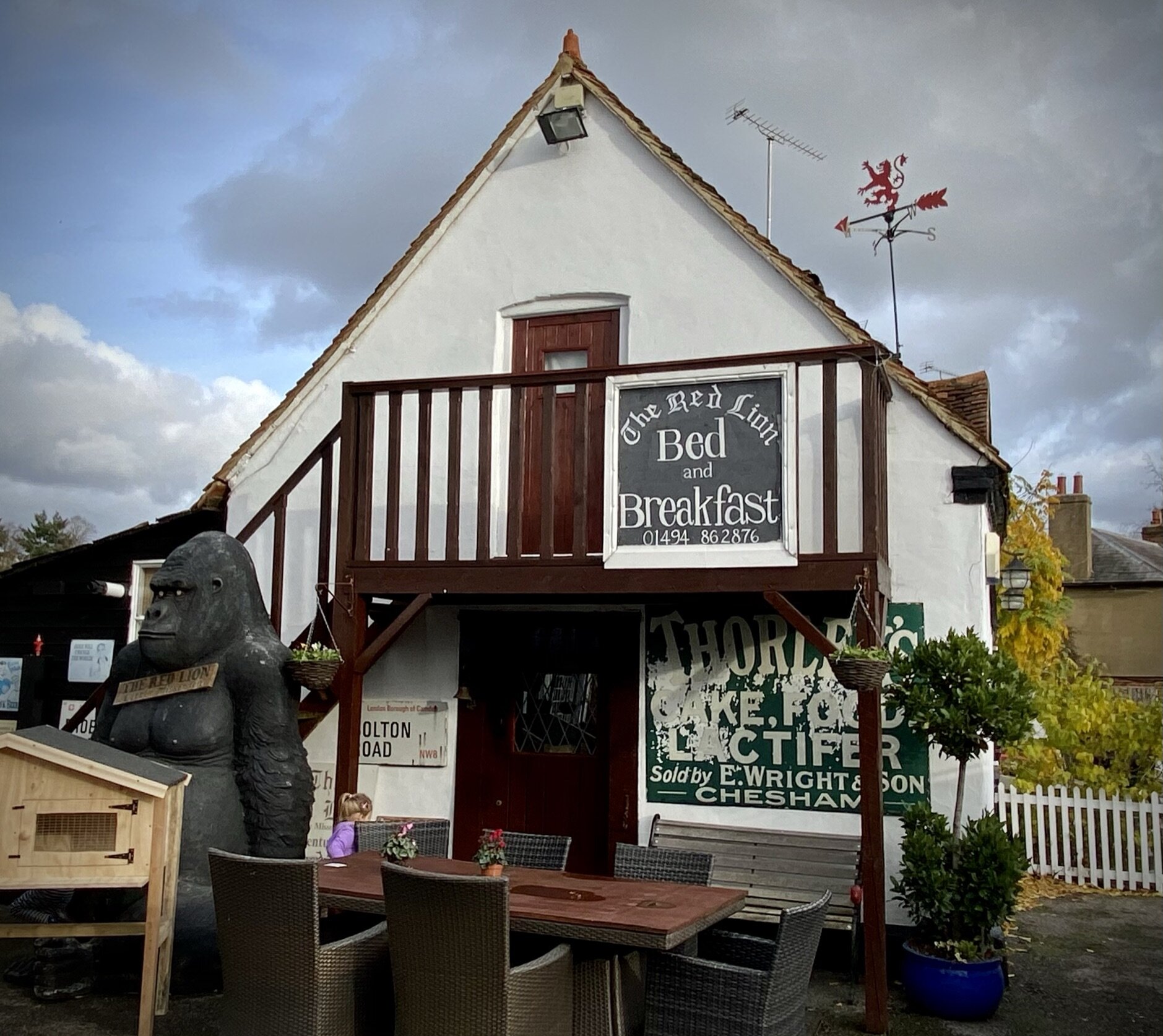
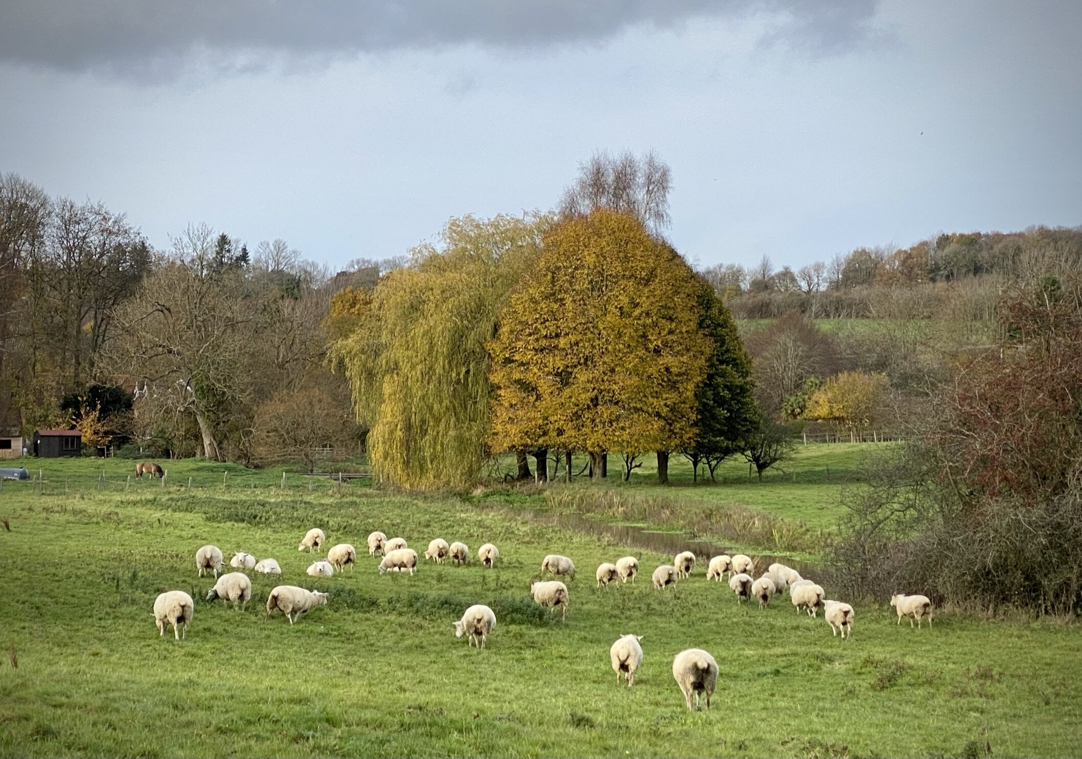
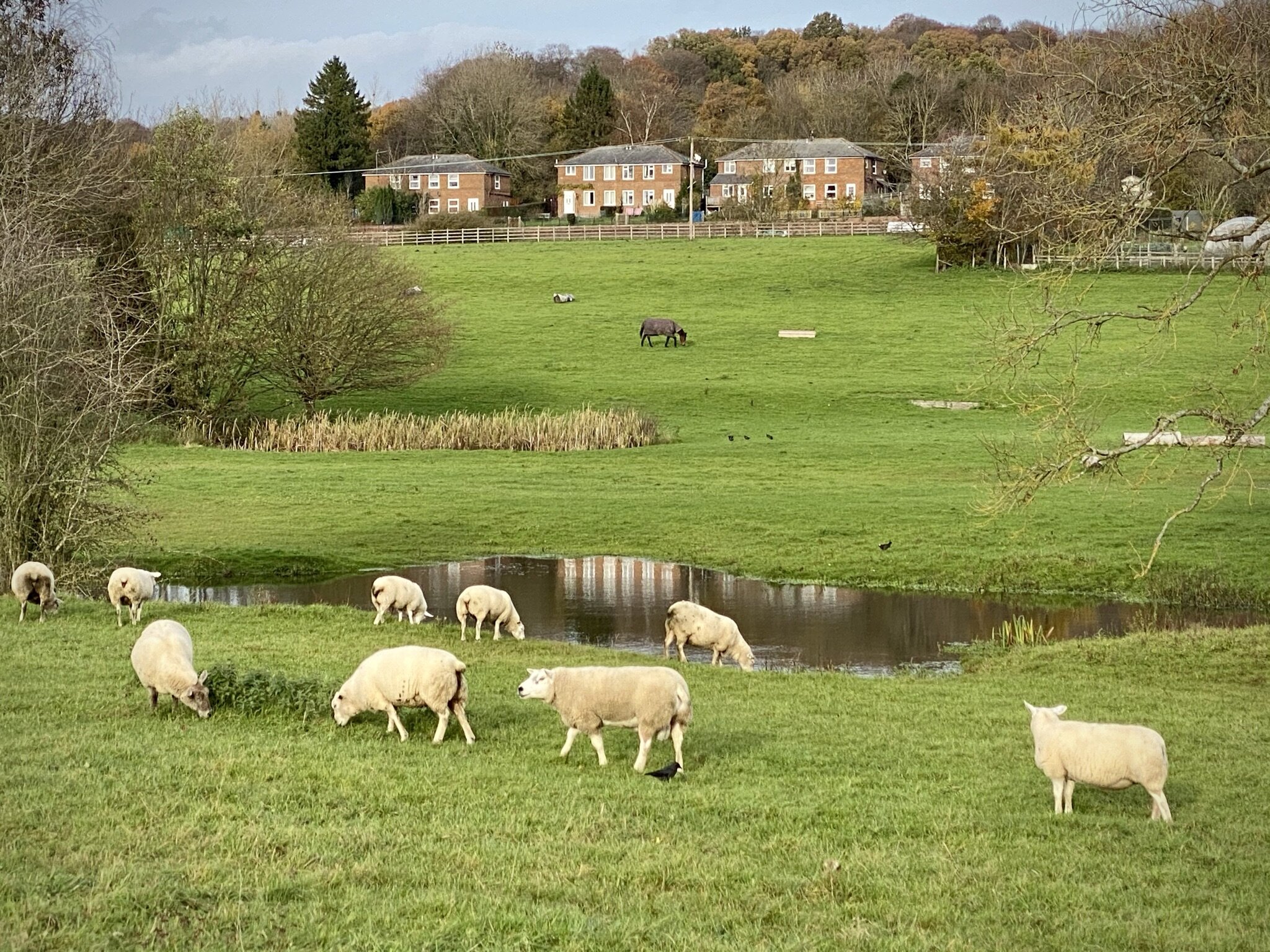
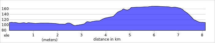
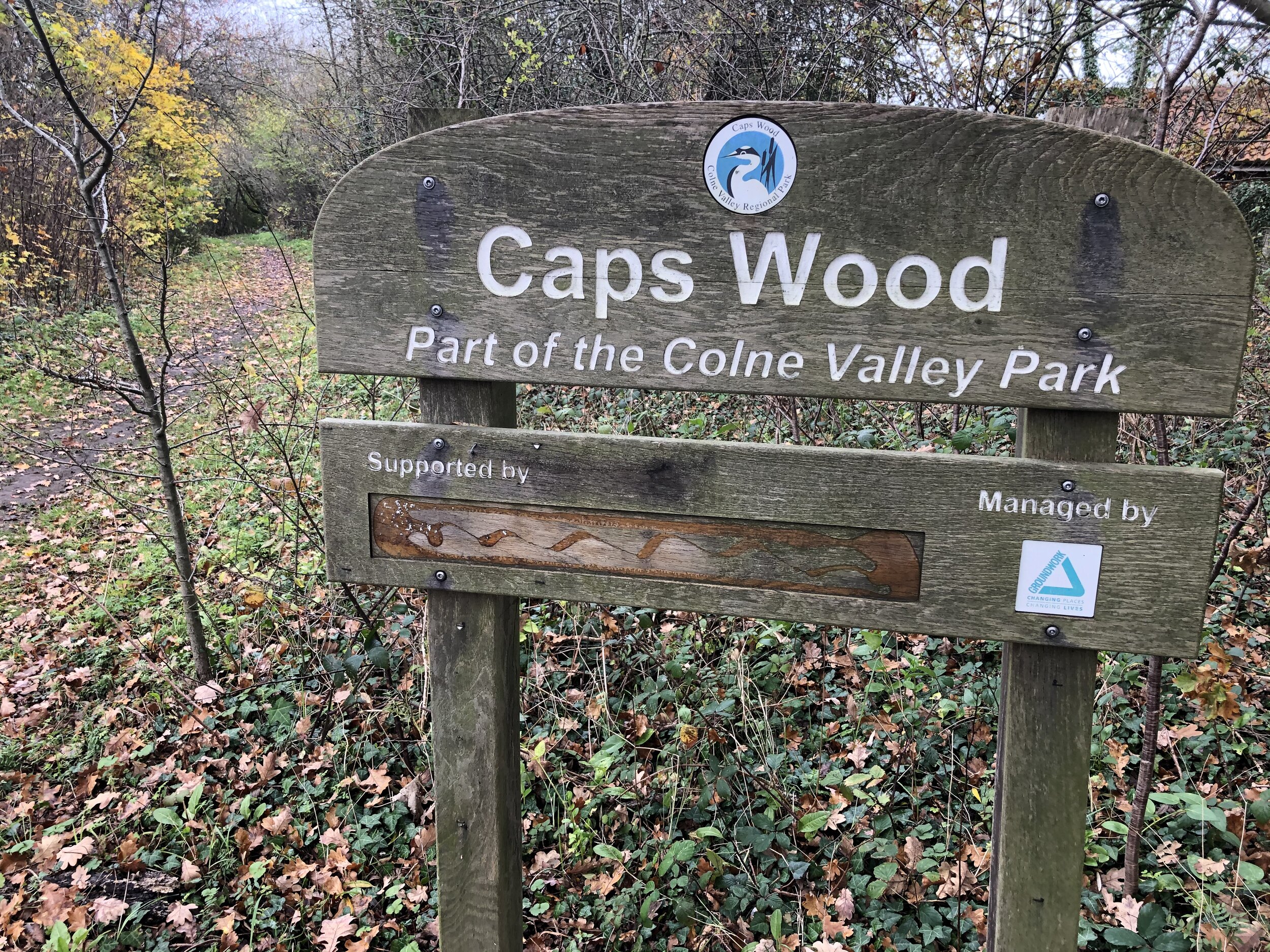
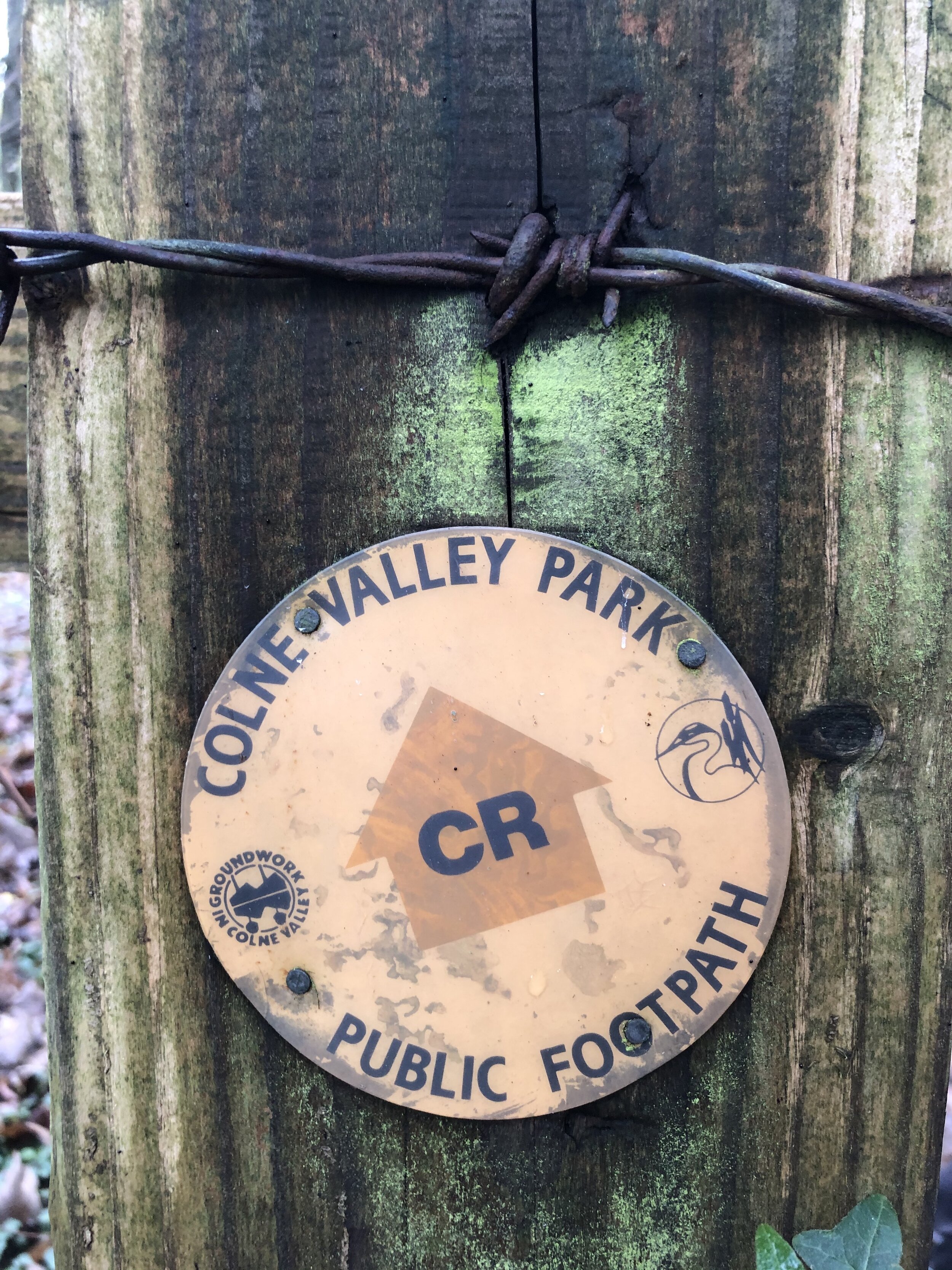
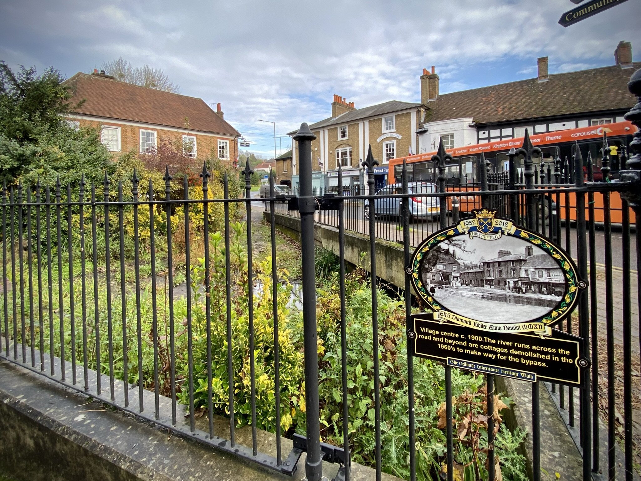
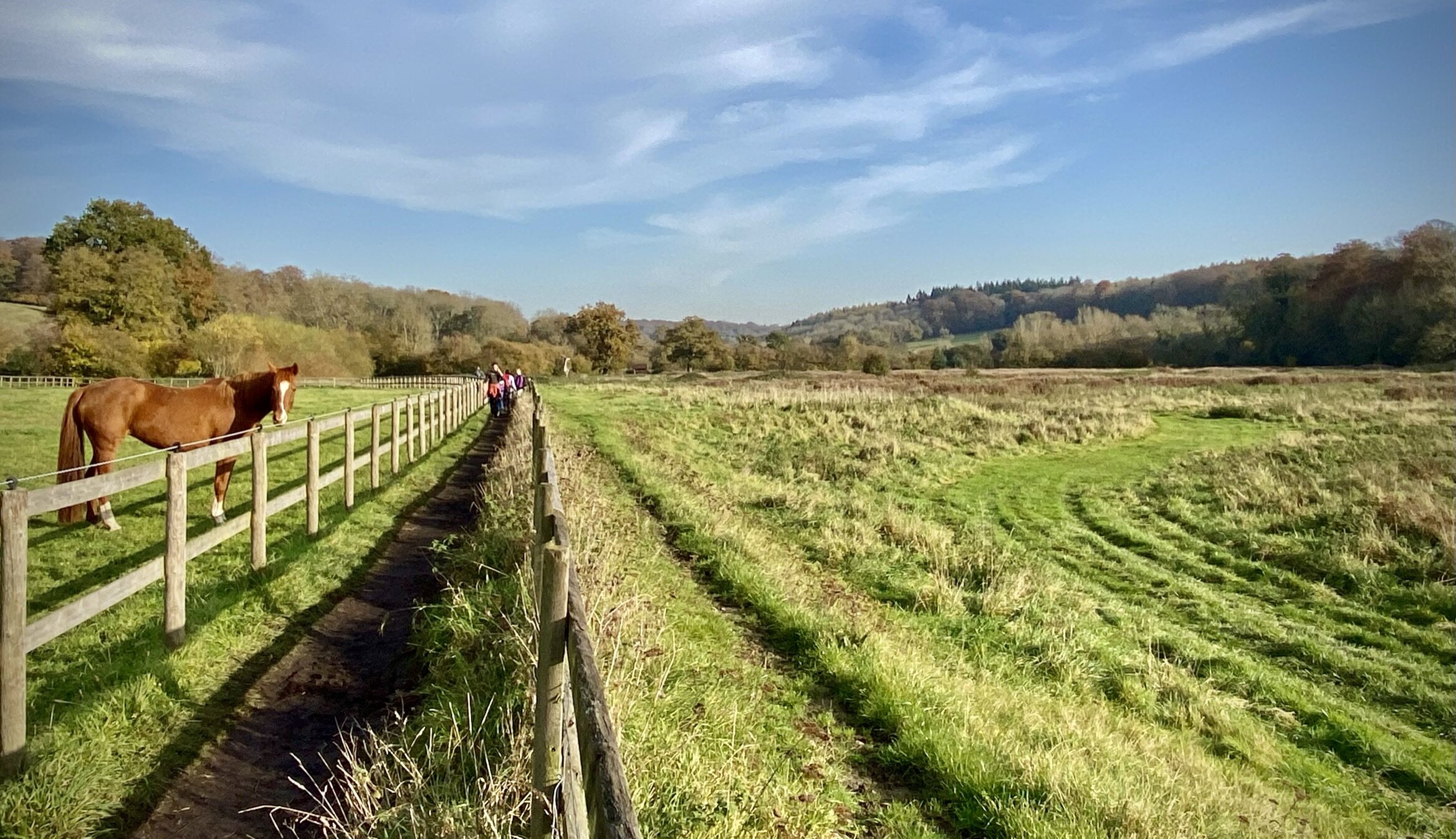
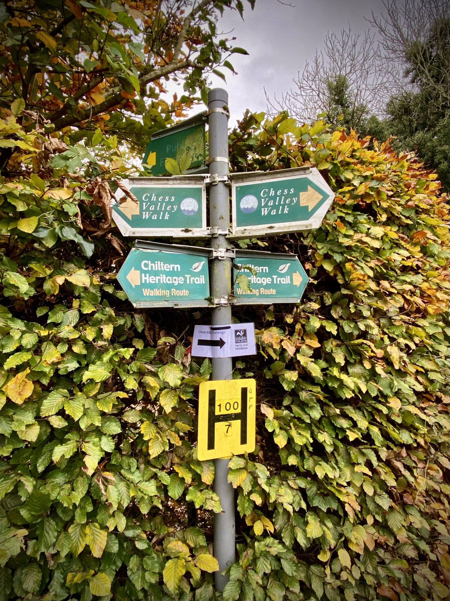
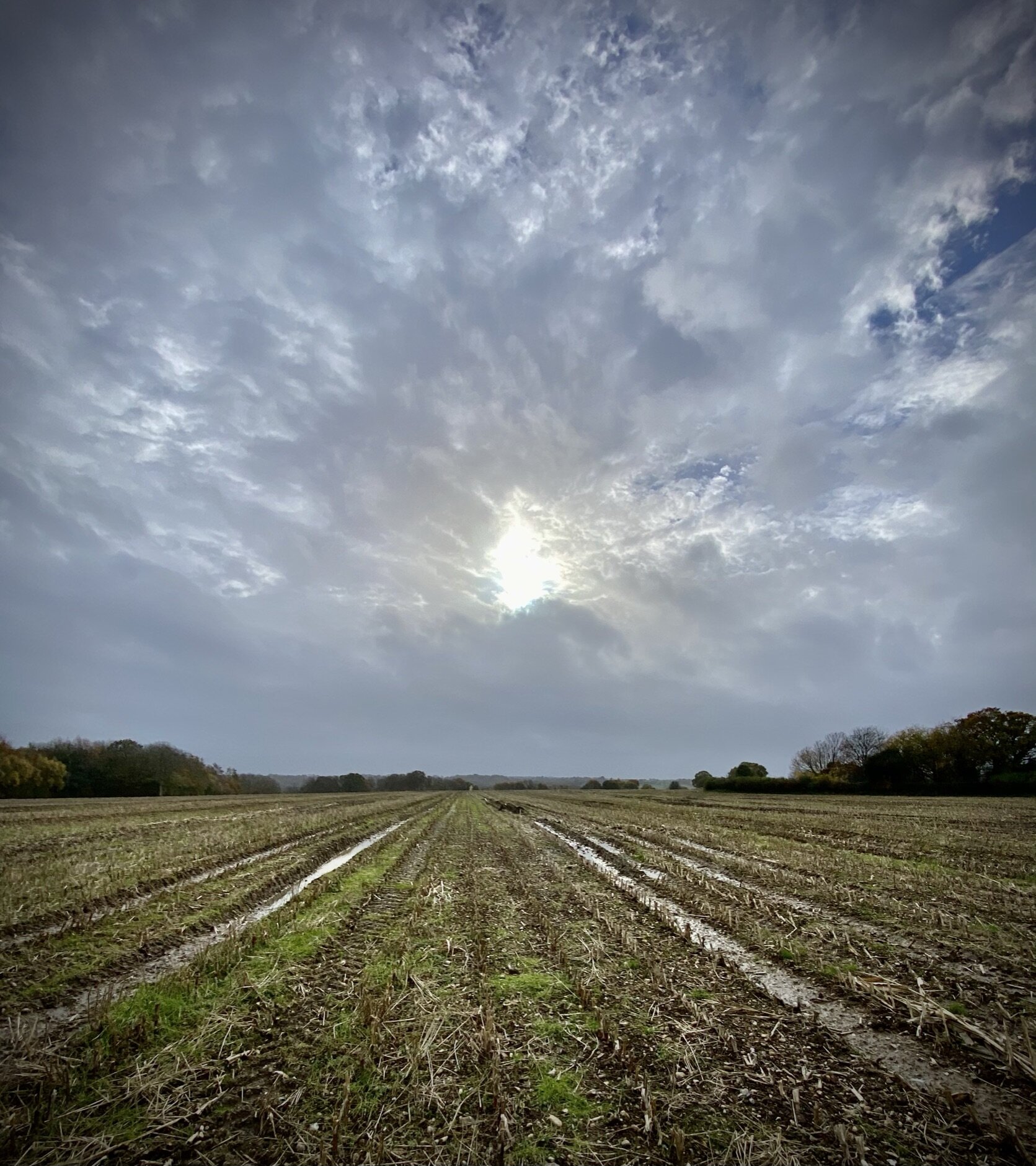
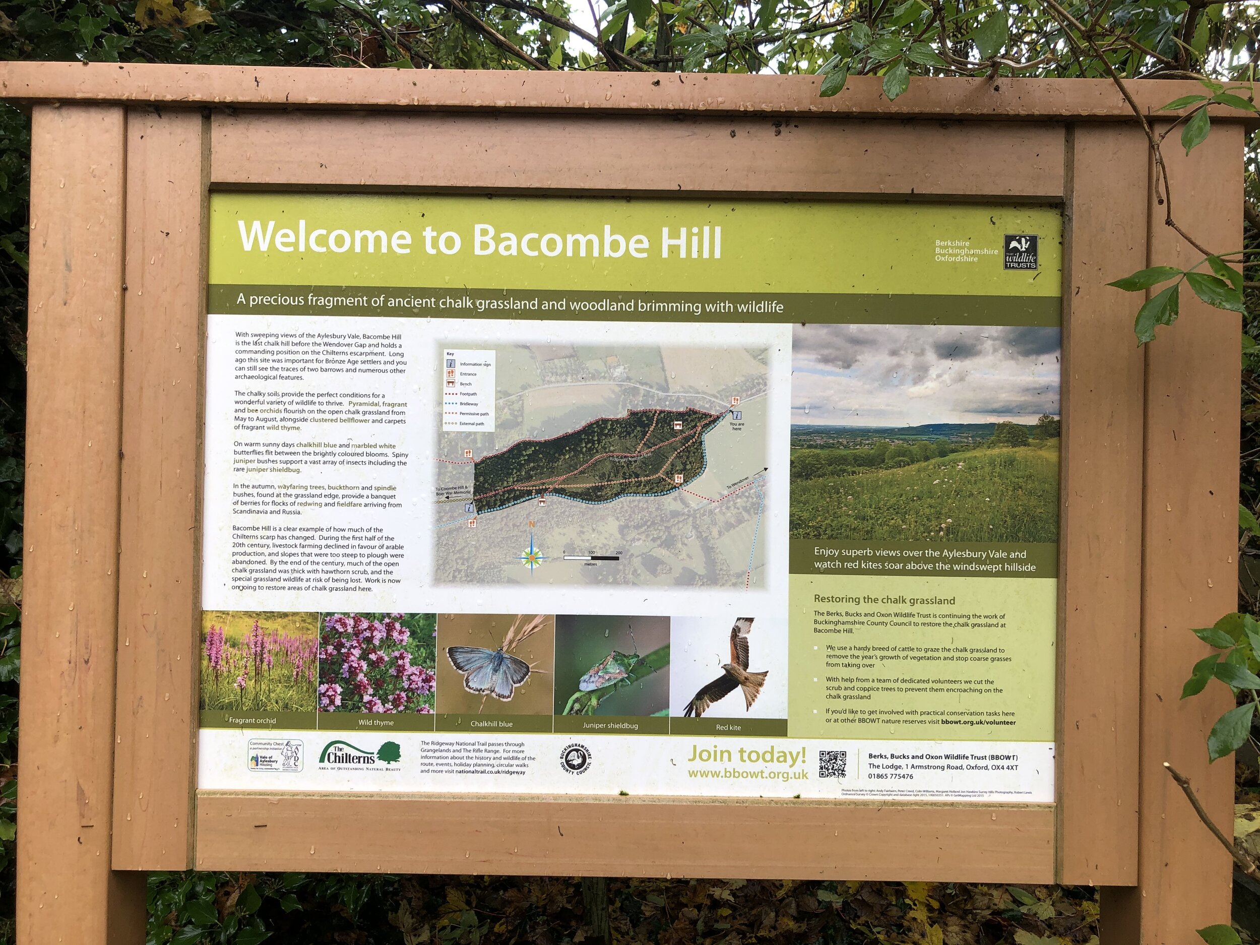
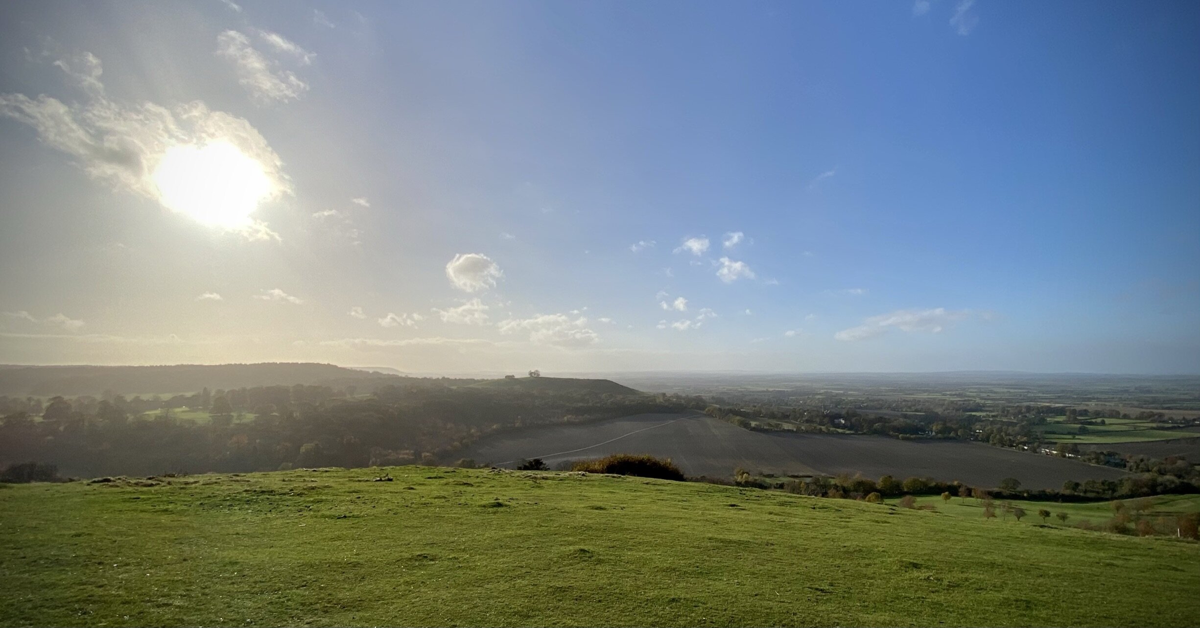
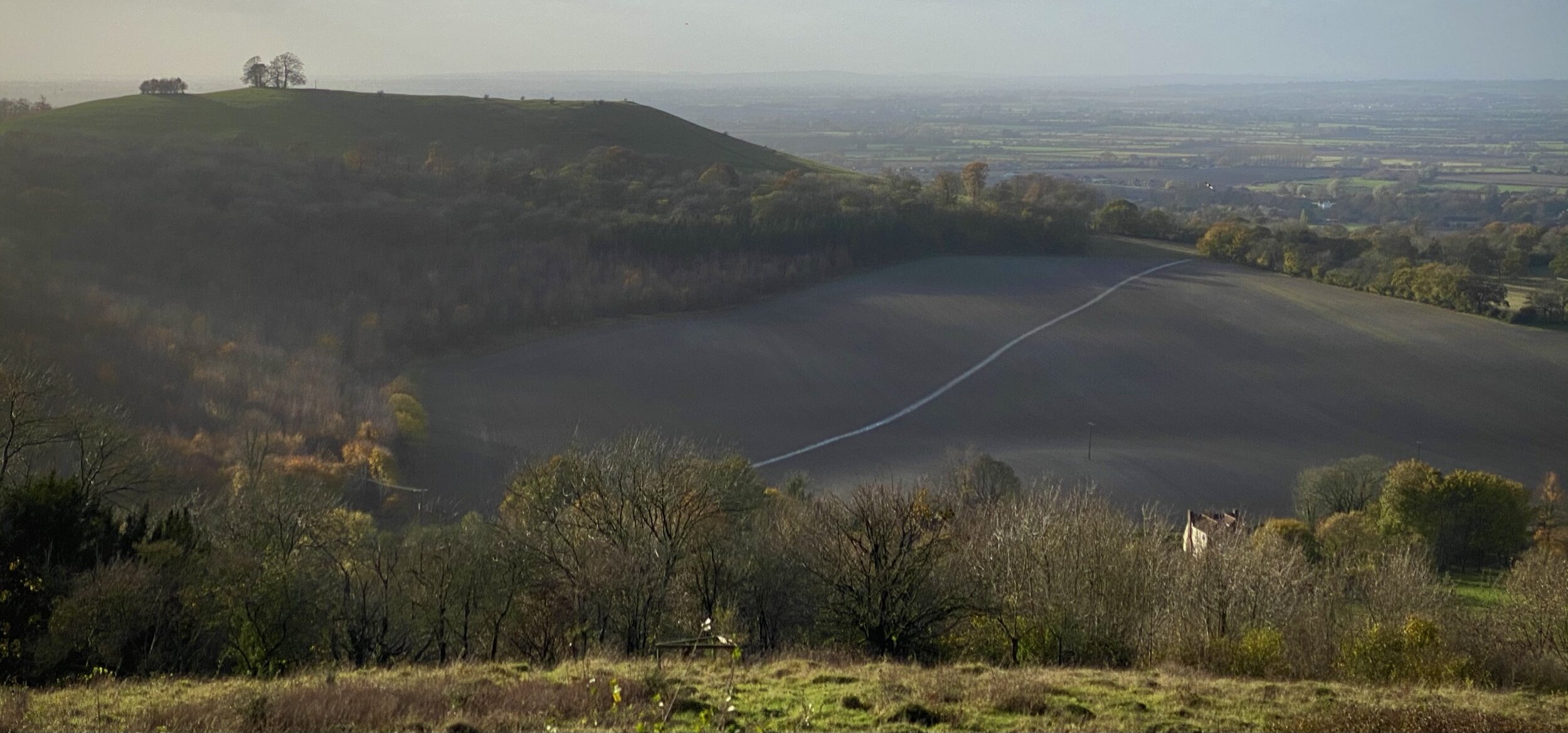
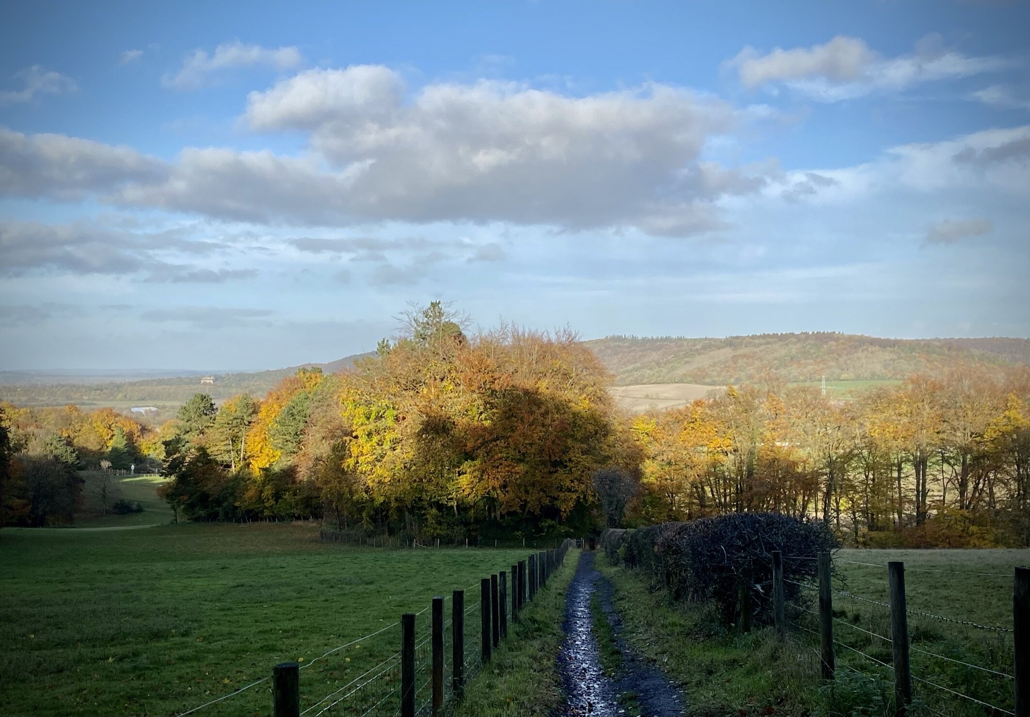
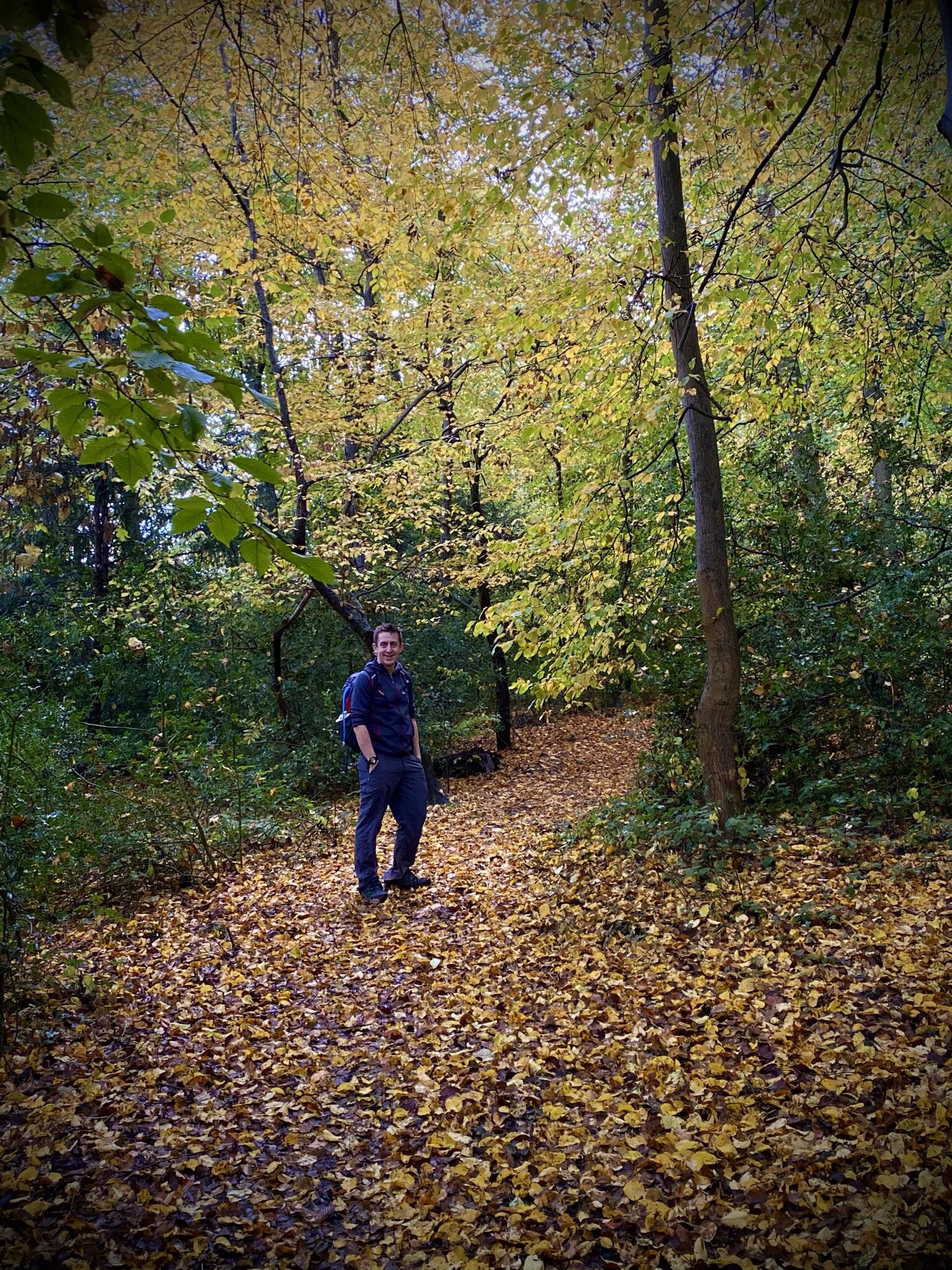
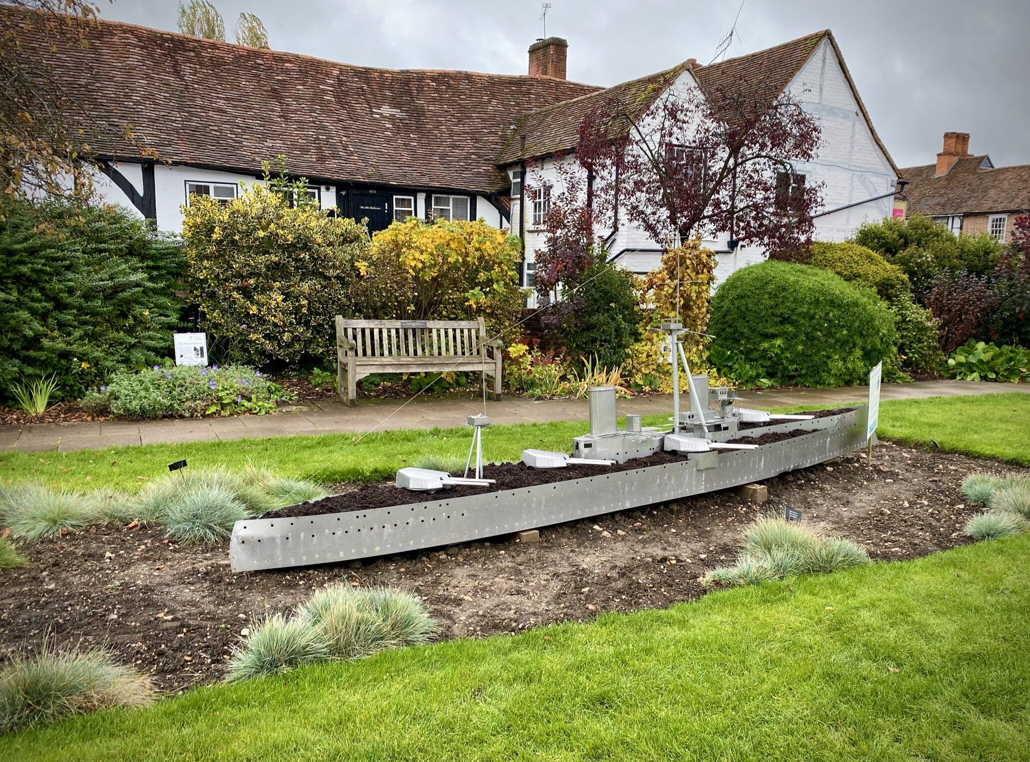
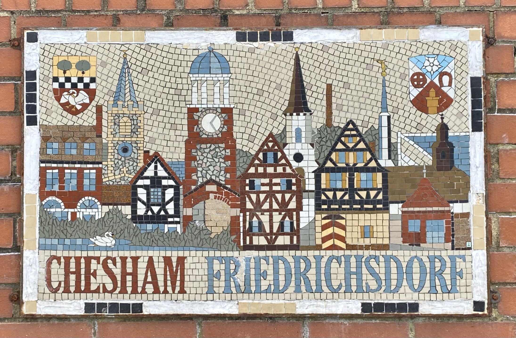
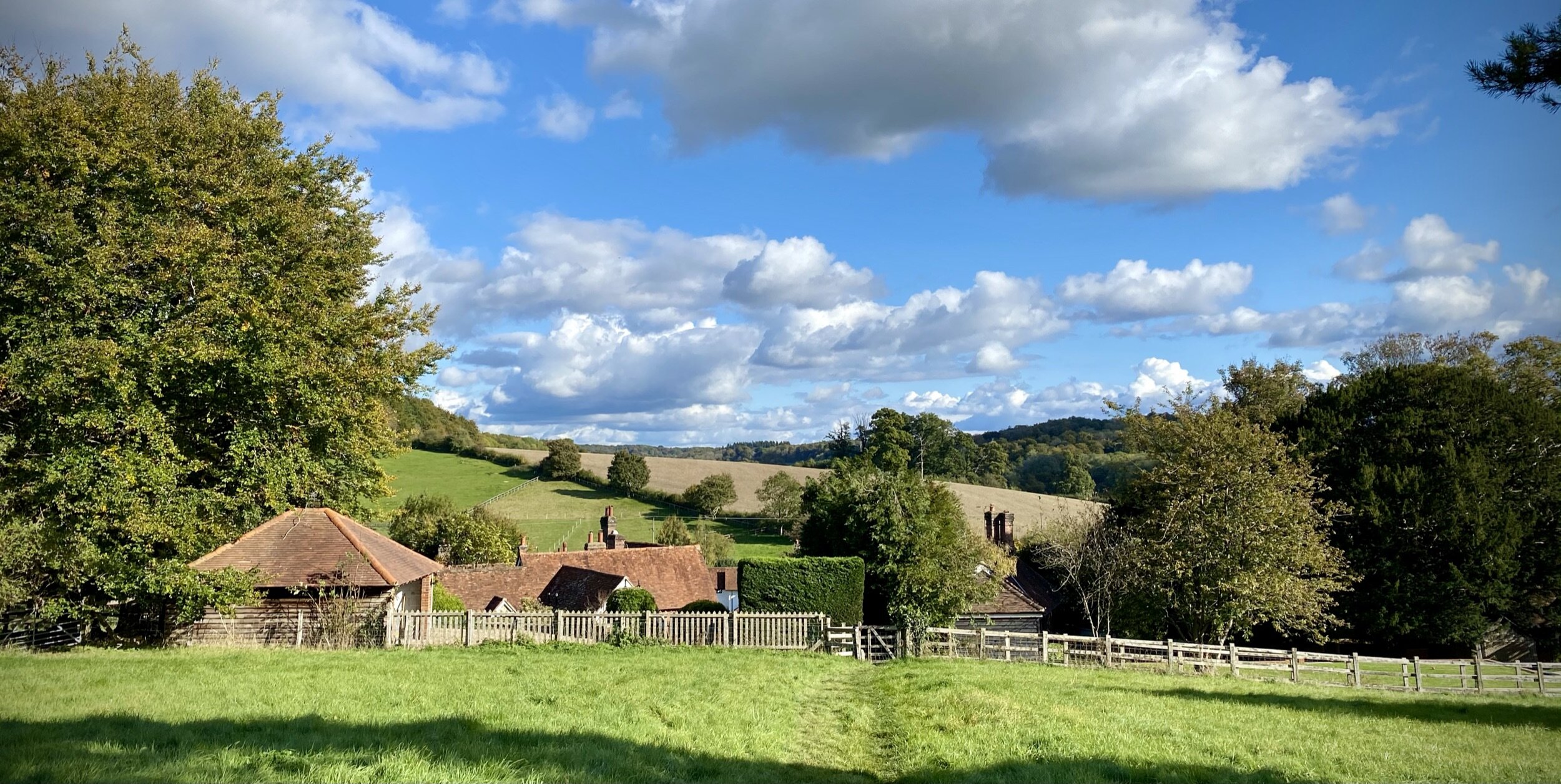
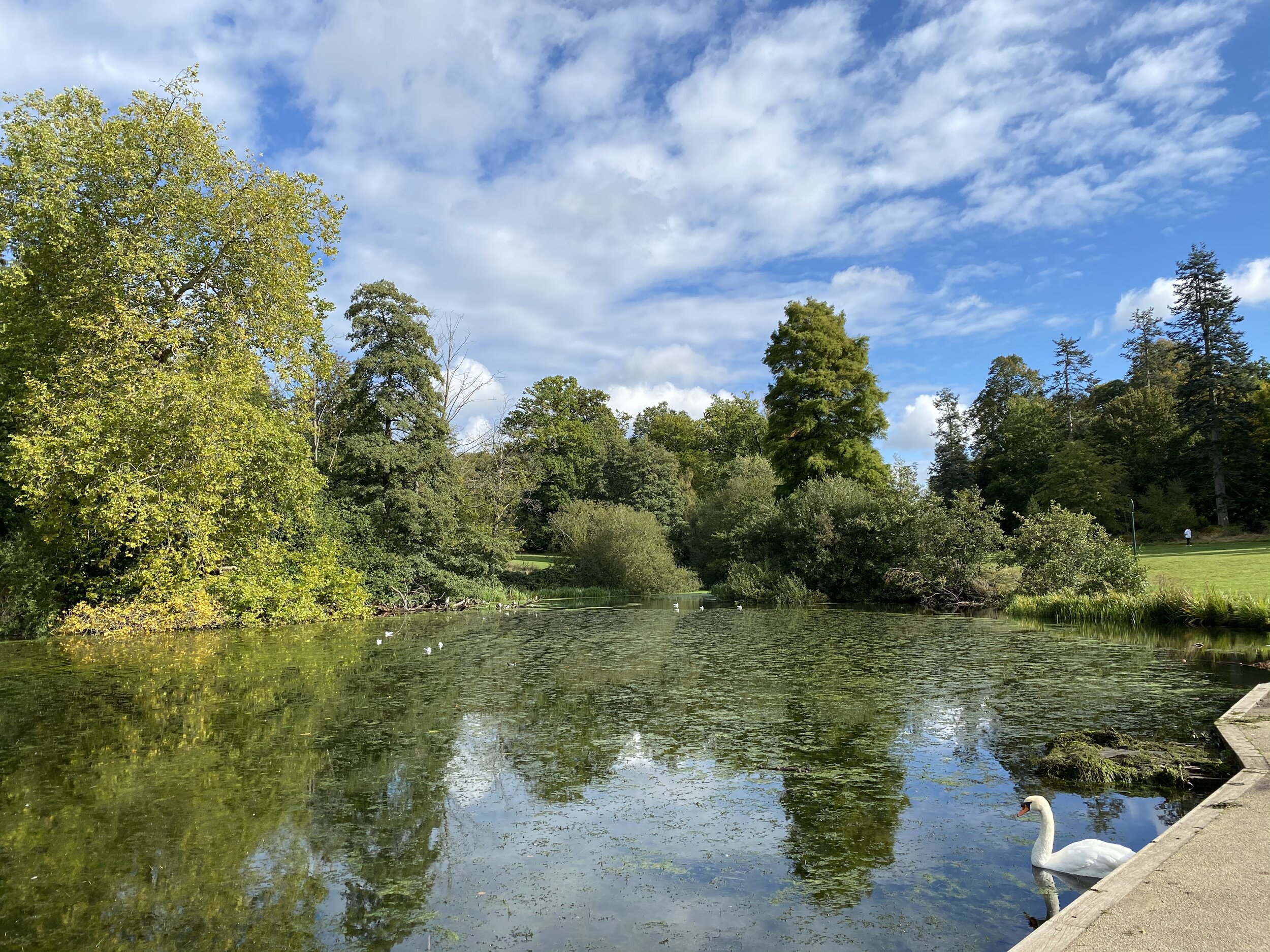
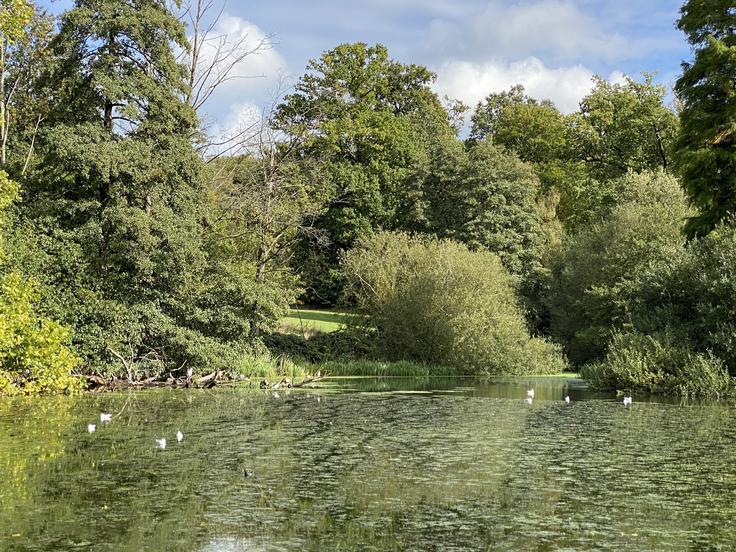
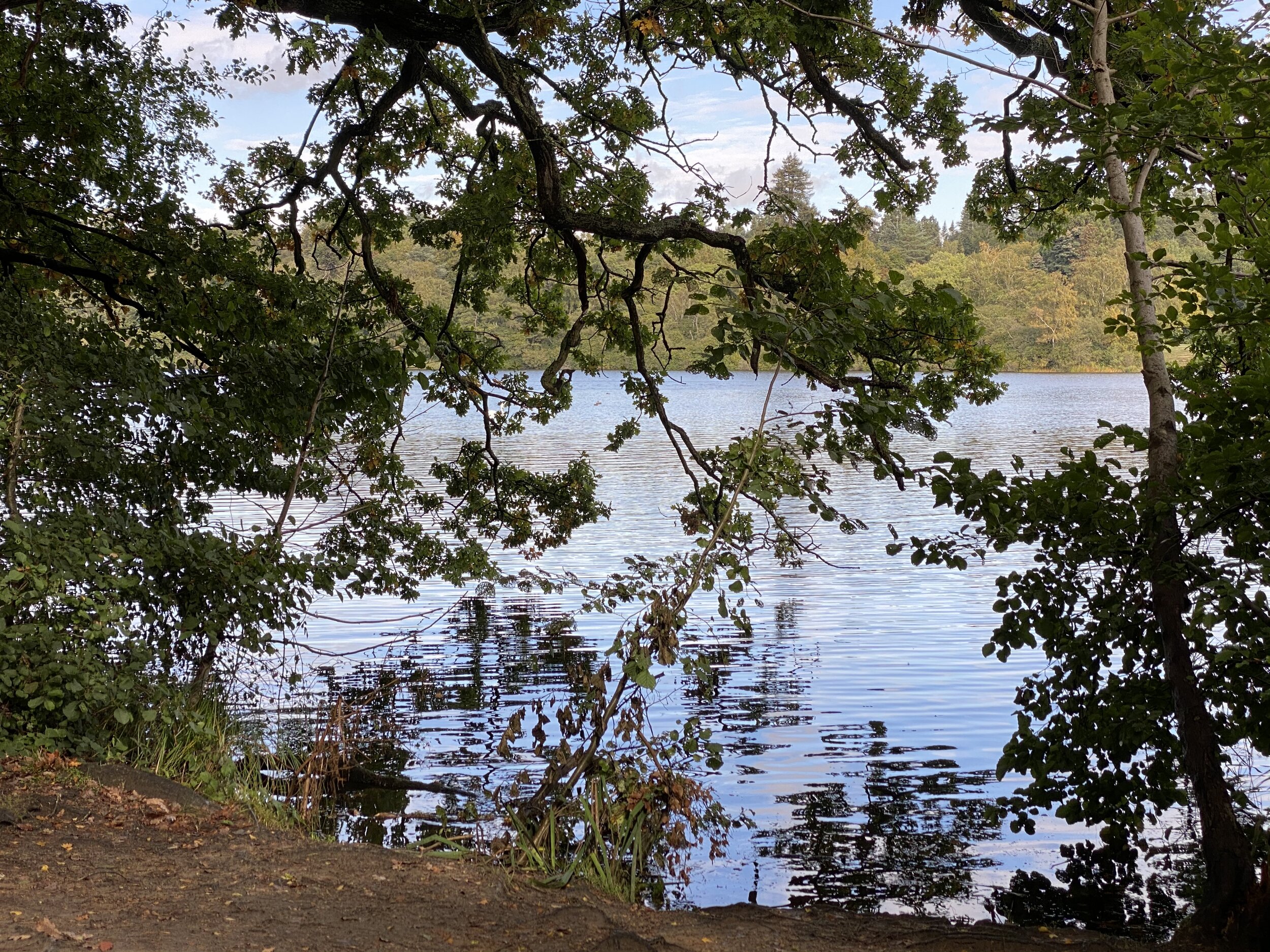
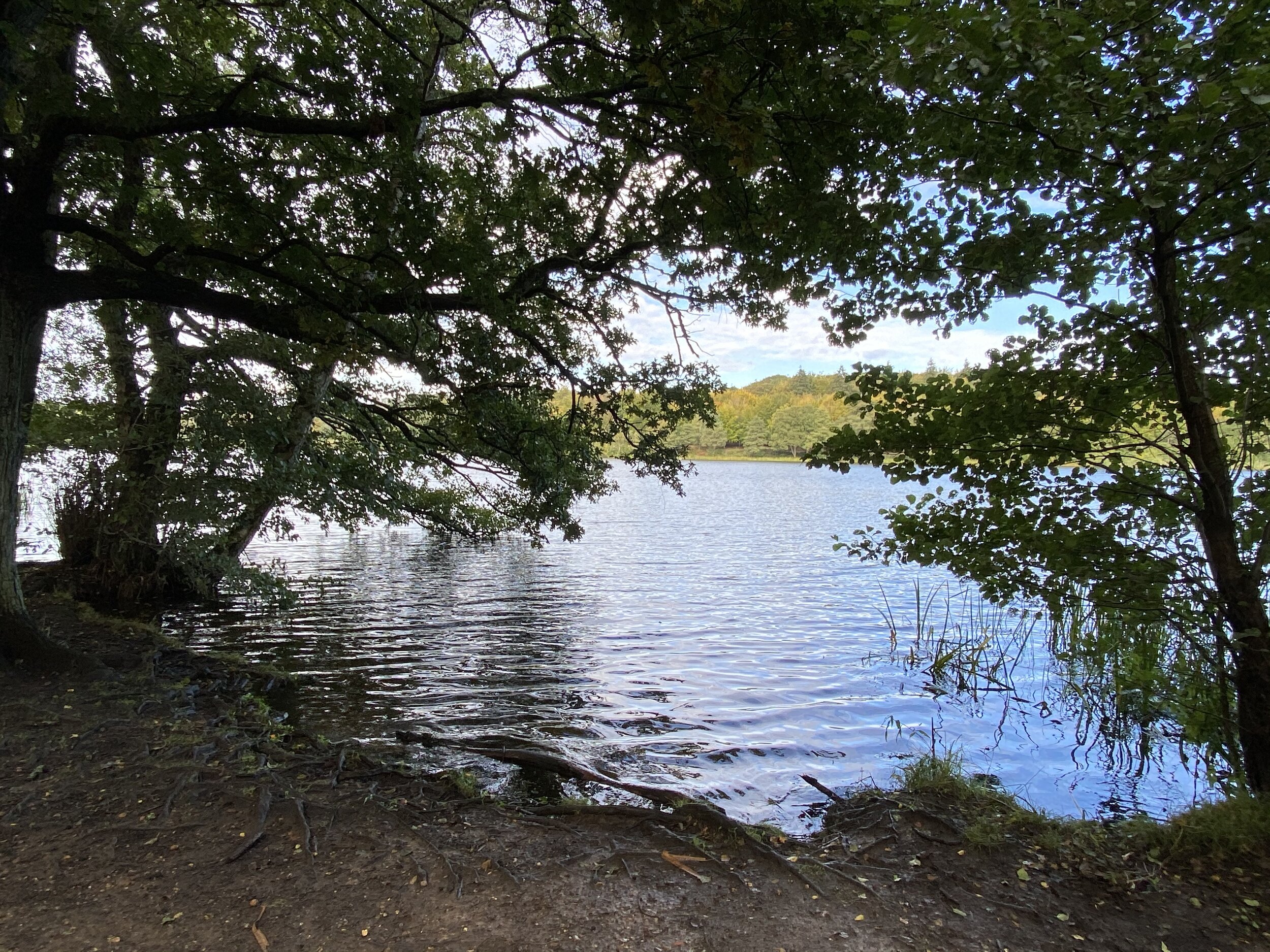
This trip was part of our River Chess Circulars of less than 10 km. The River Chess runs from its source at Pednor, near Chesham, to Rickmansworth where it joins the Colne. The Chess Valley Walk is a point-to-point trail along the course of the river from Chesham to Rickmansworth stations. It’s also part of a series of 17 walks that, between them, cover the 83 km of the Chiltern Heritage Trail. Created as a Millennium project, this trail links the towns and parishes within the district, offering stunning scenery, charming villages, and points of historical interest.
The guidance below will help you navigate but don’t use it as a fully accurate turn-by-turn guide. Always take a map and/or a GPX route and prepare well for the weather and terrain.
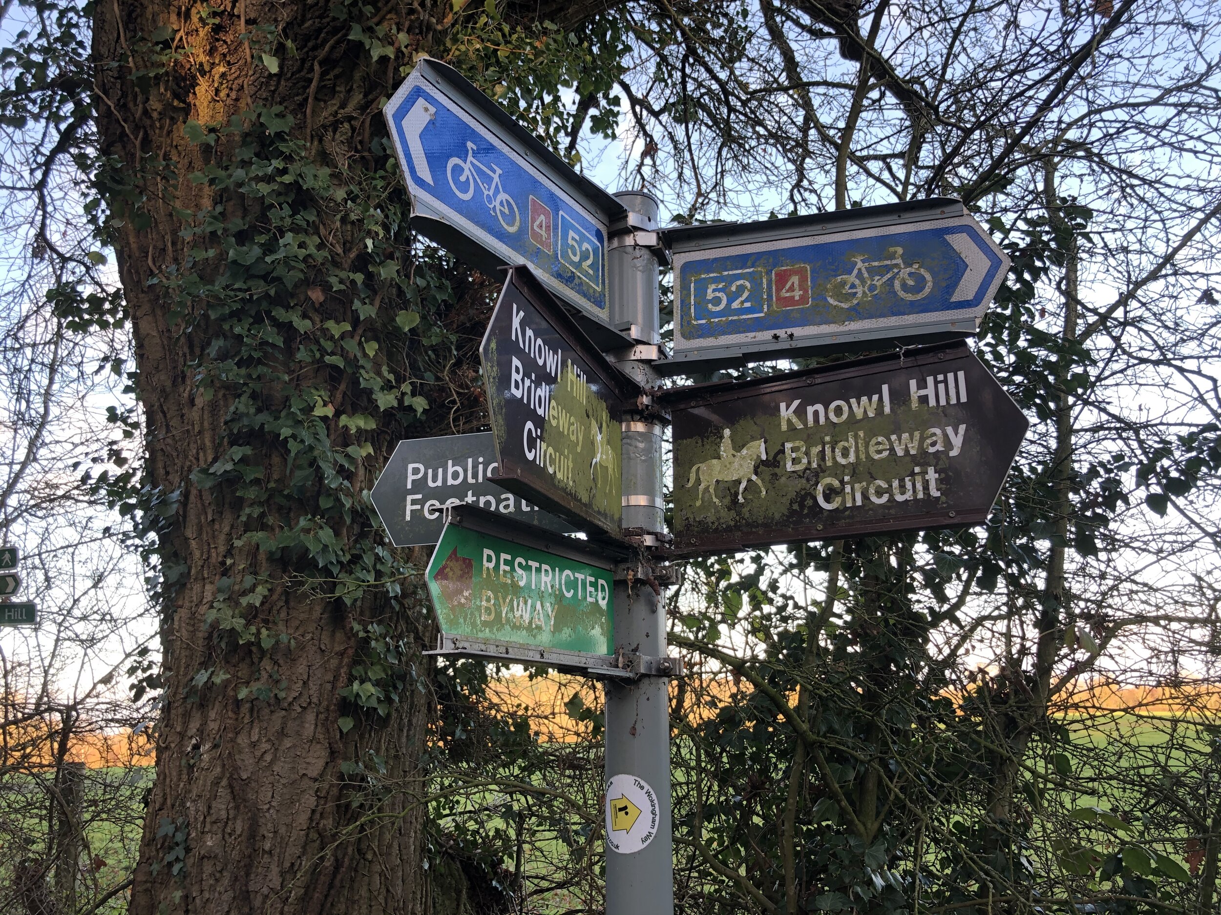
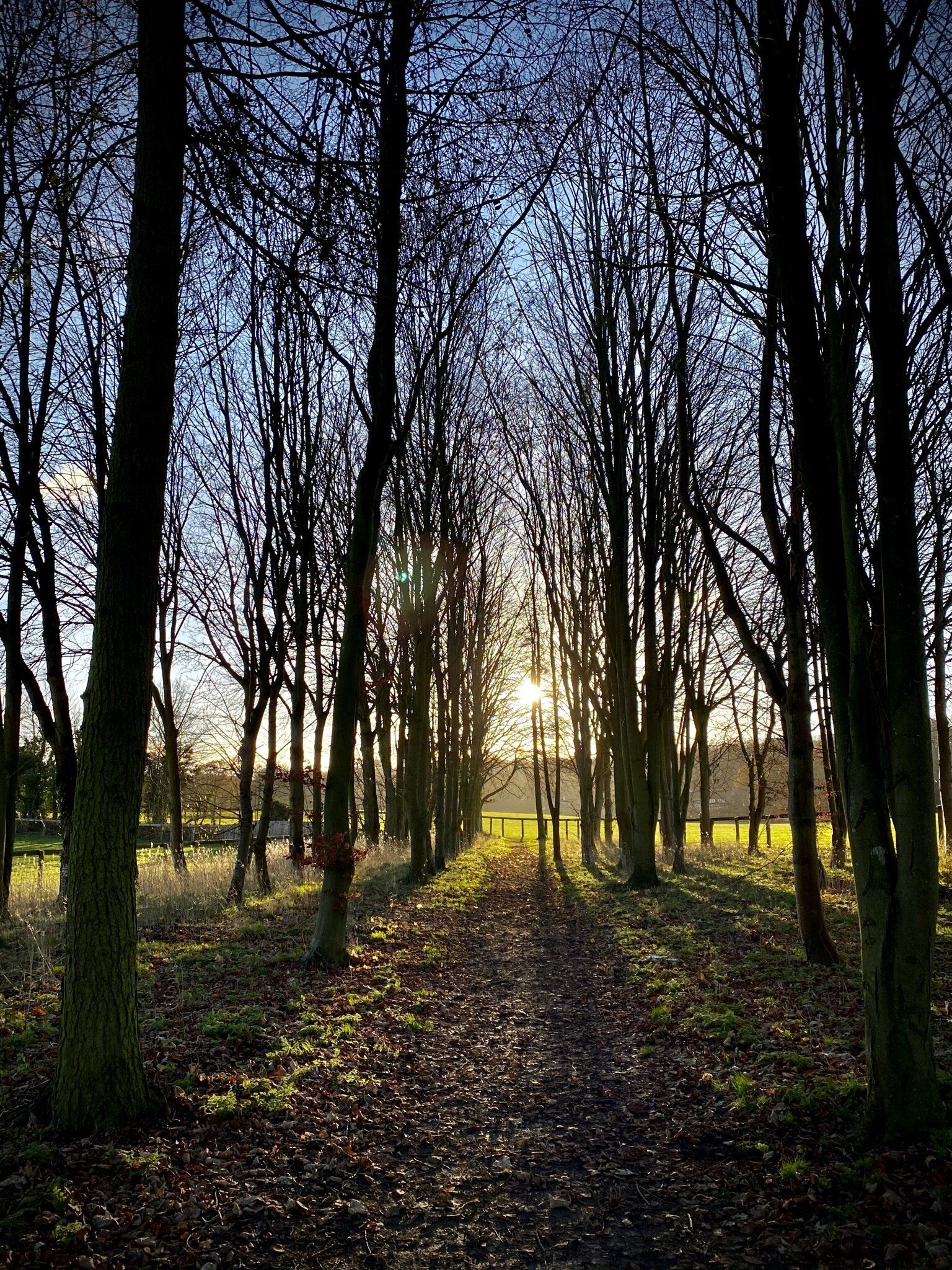
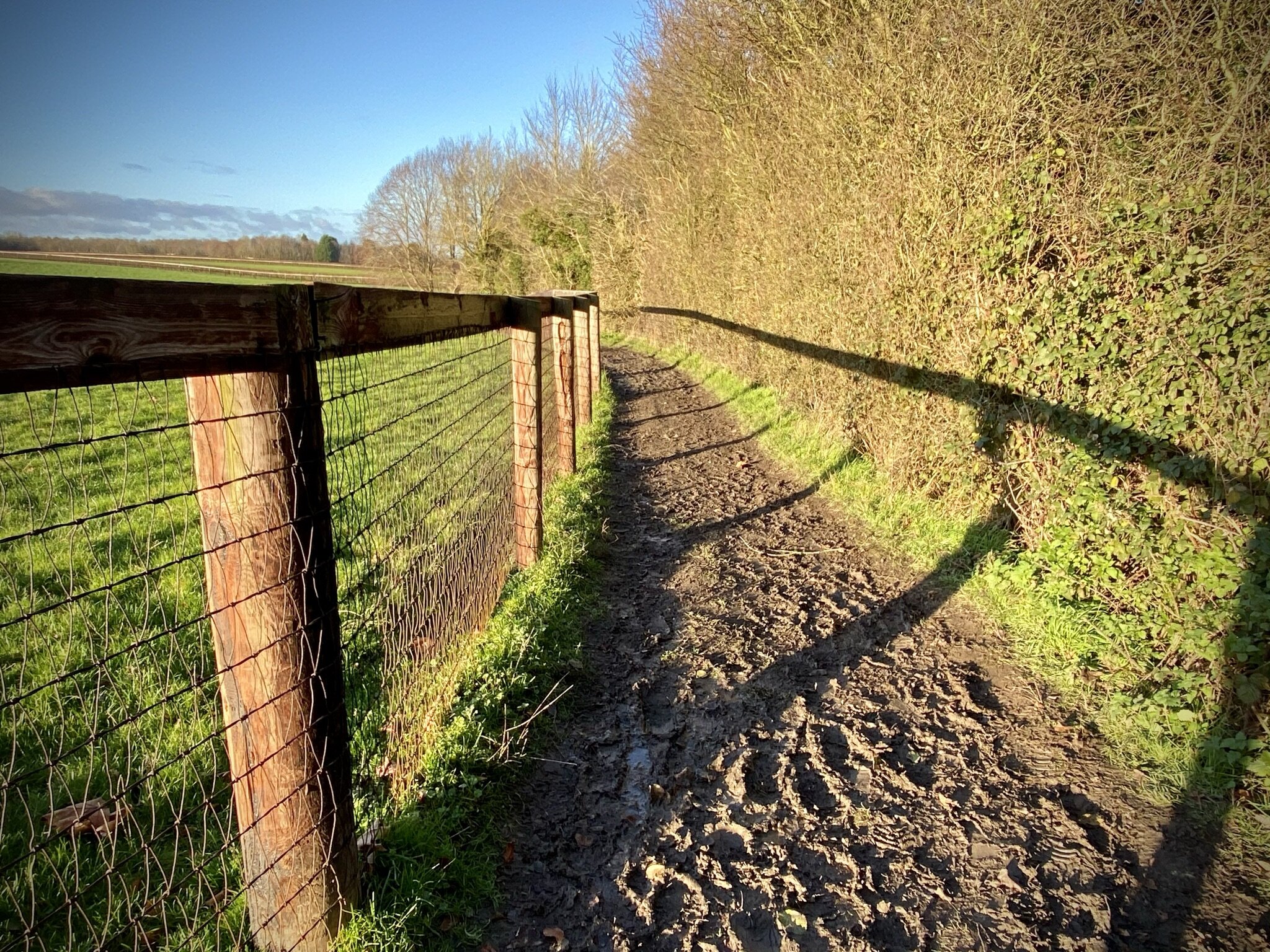
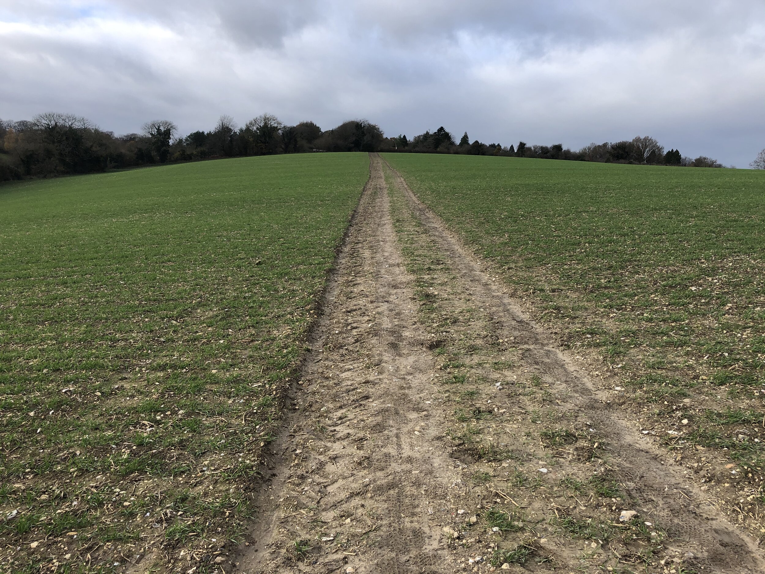
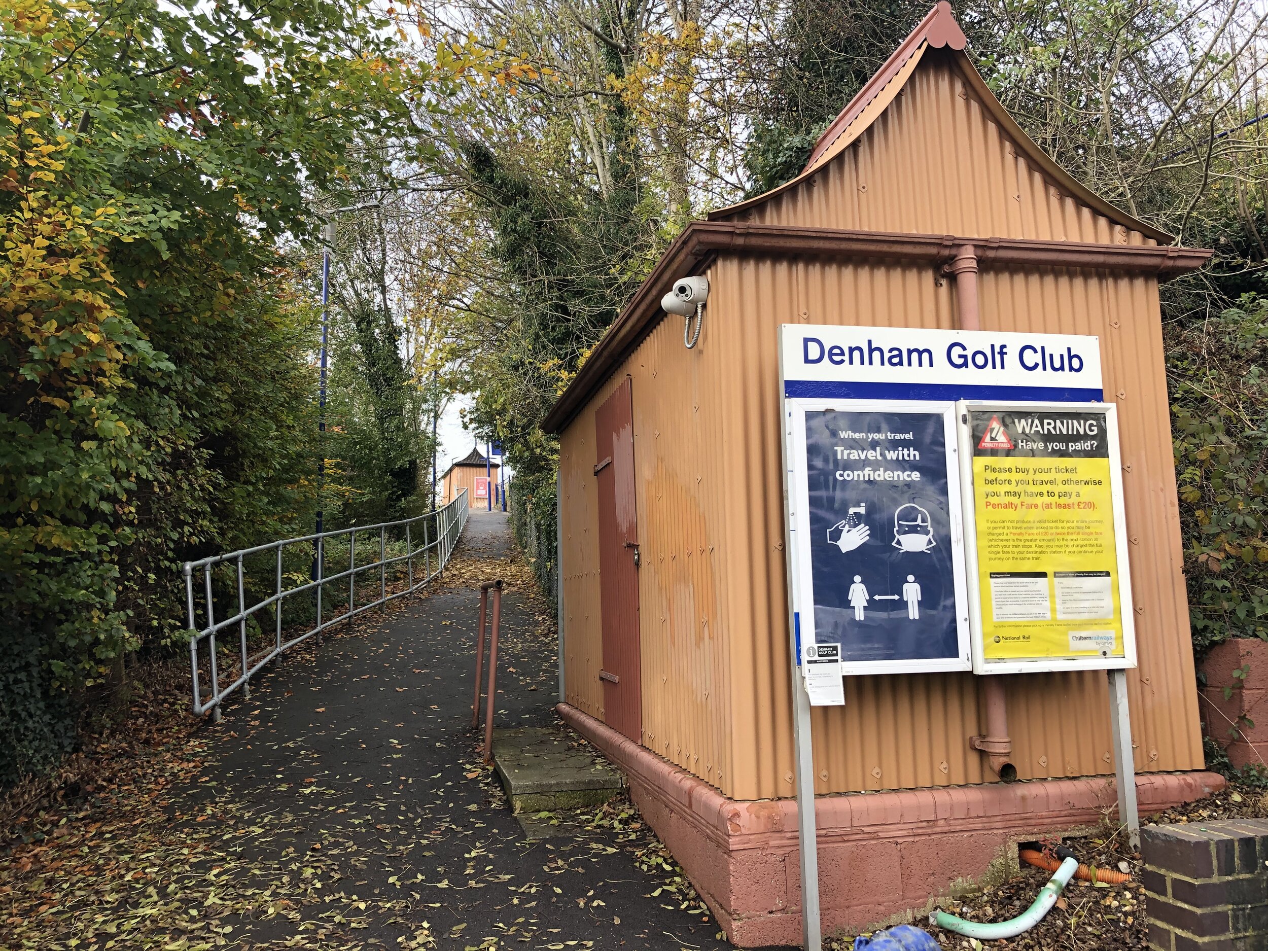
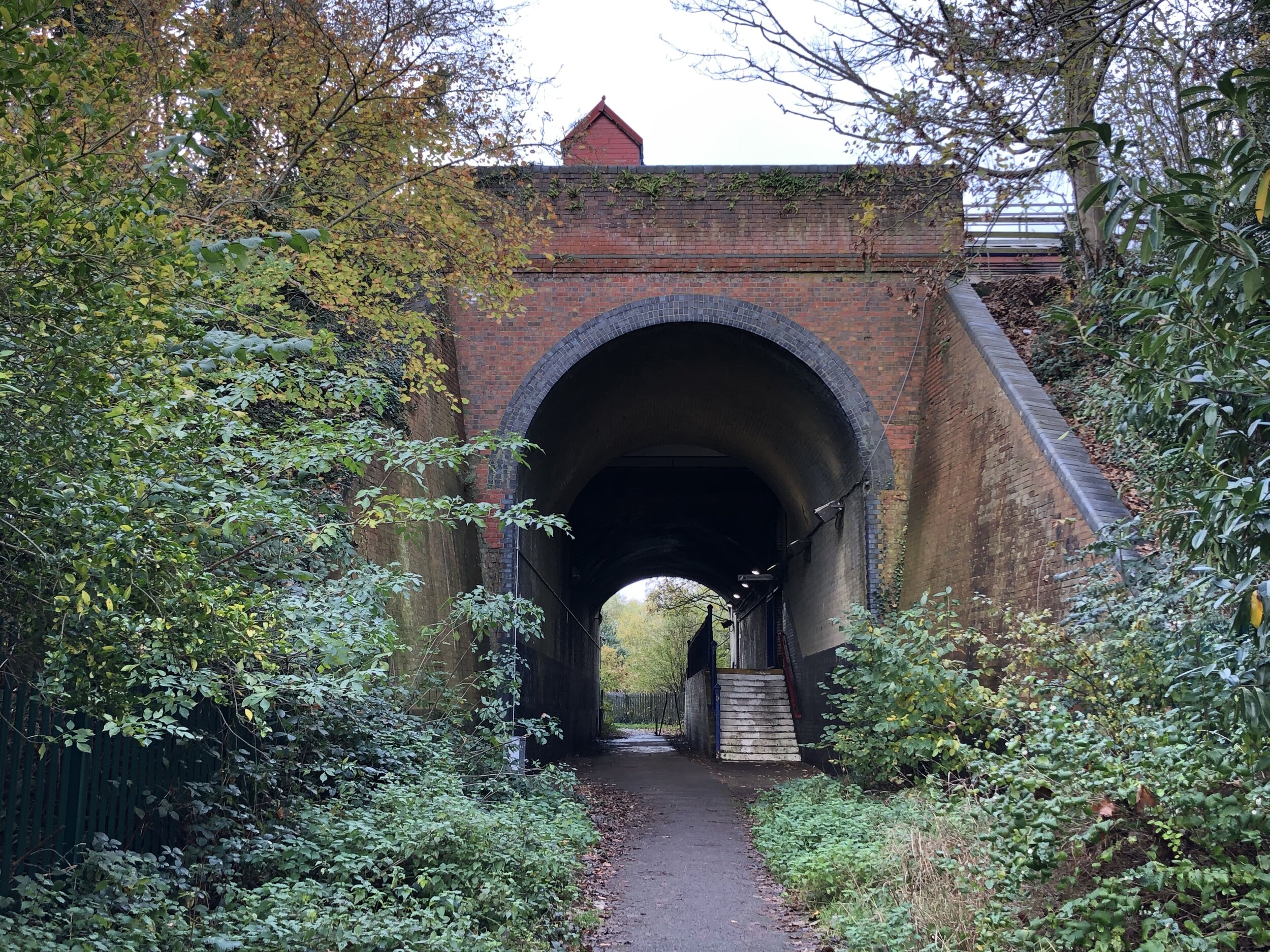
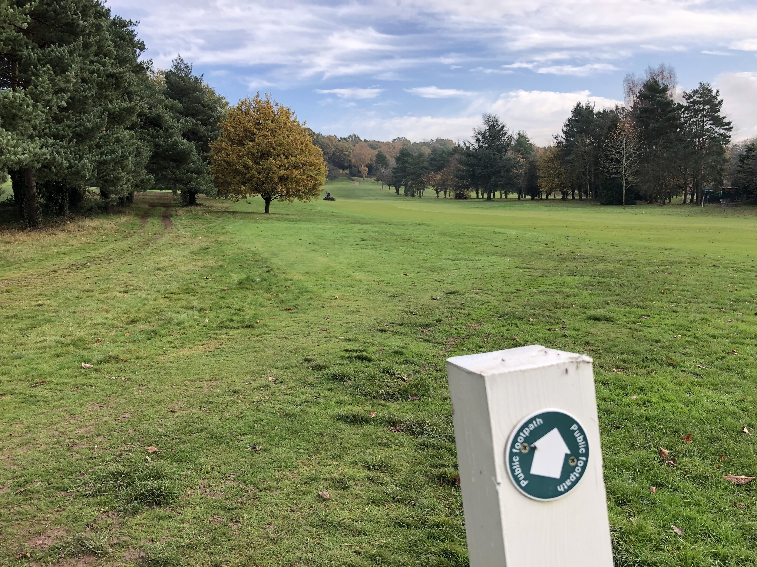
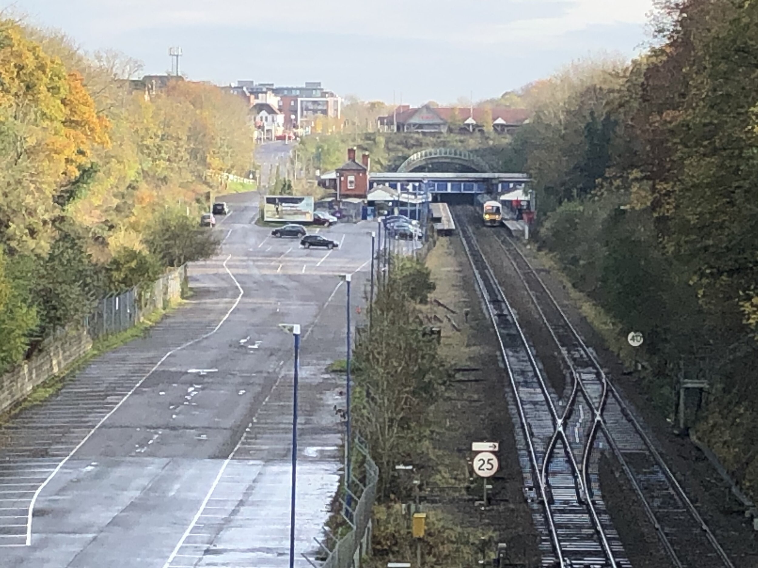
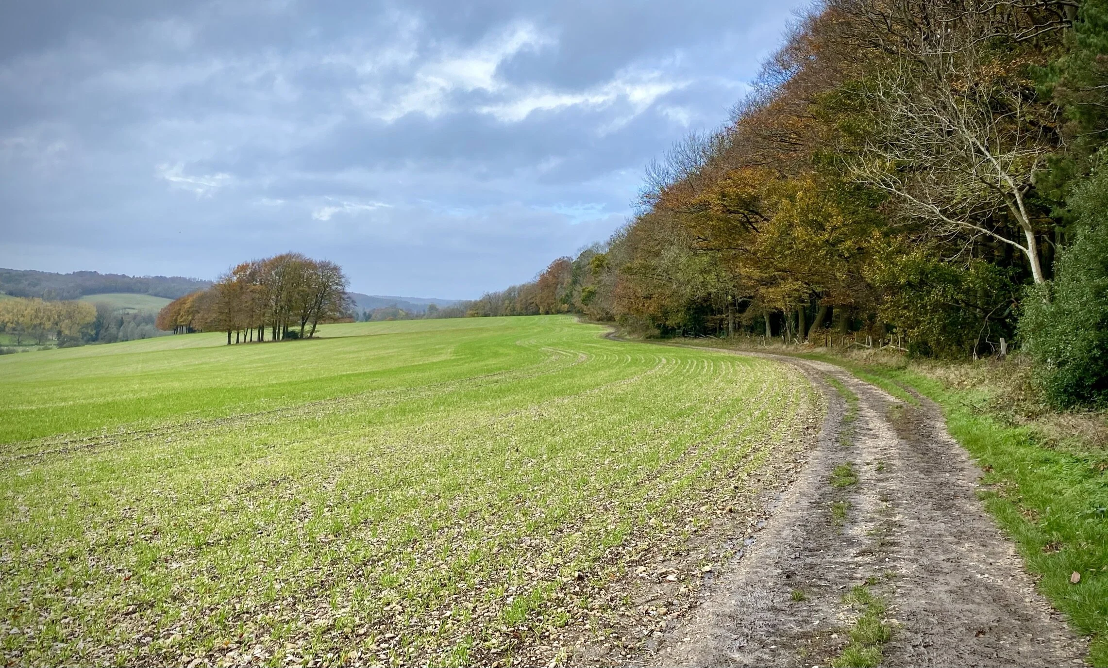
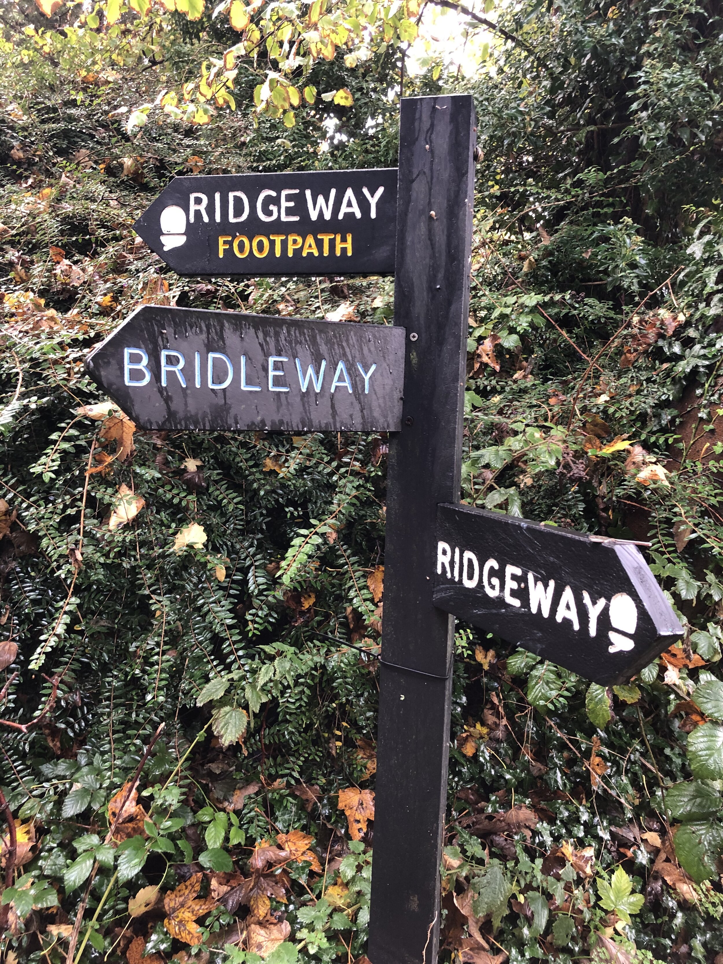
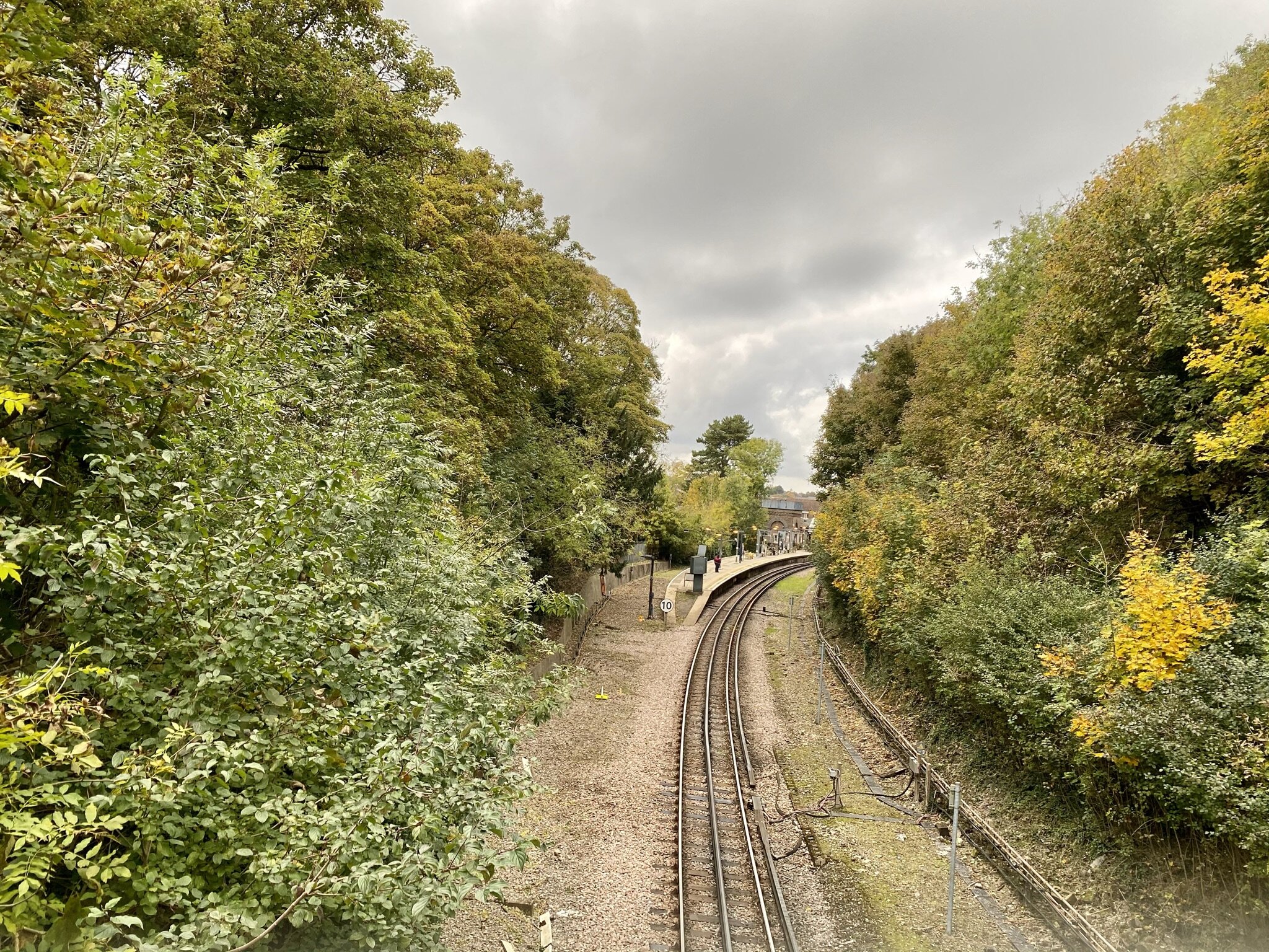
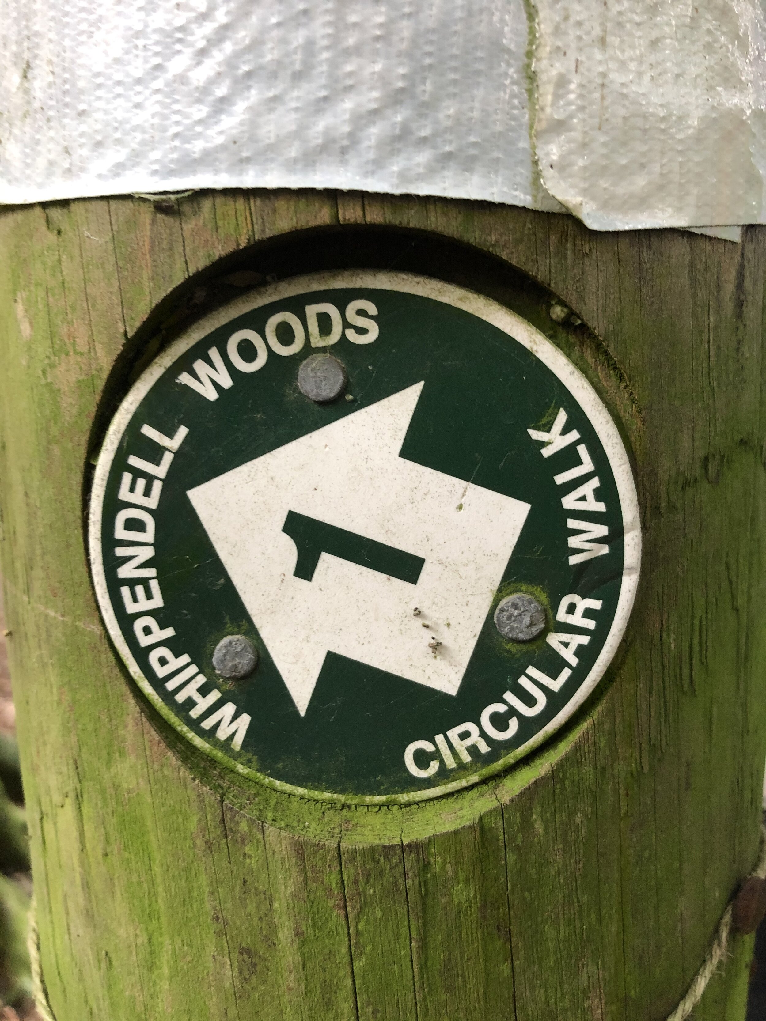
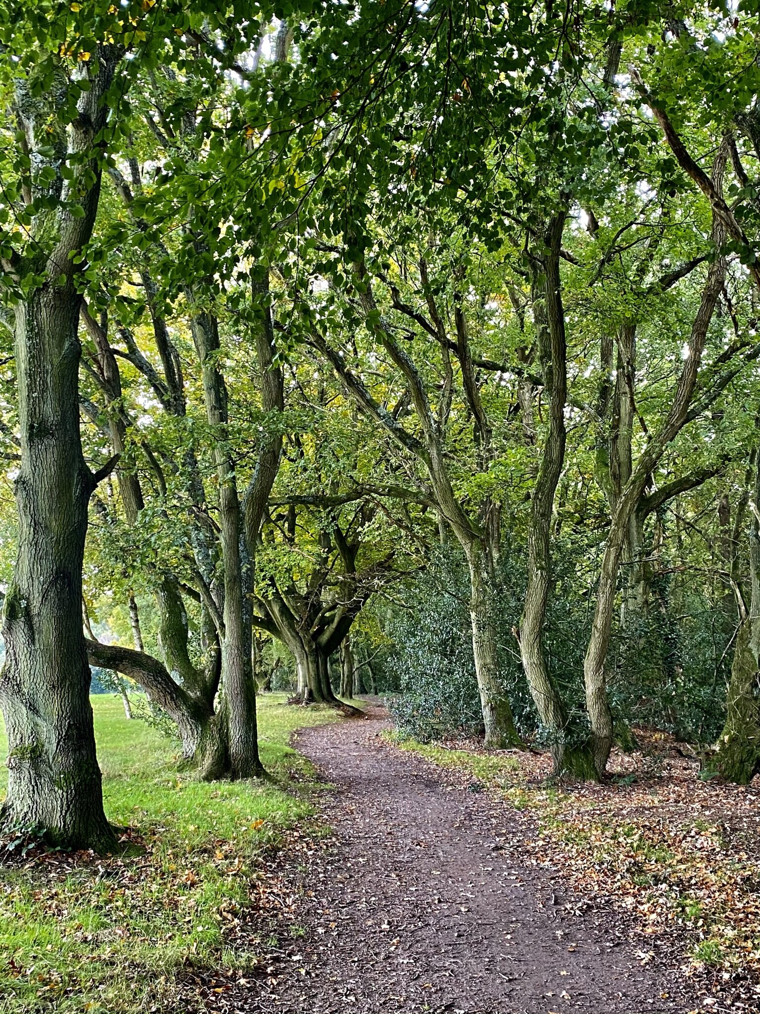
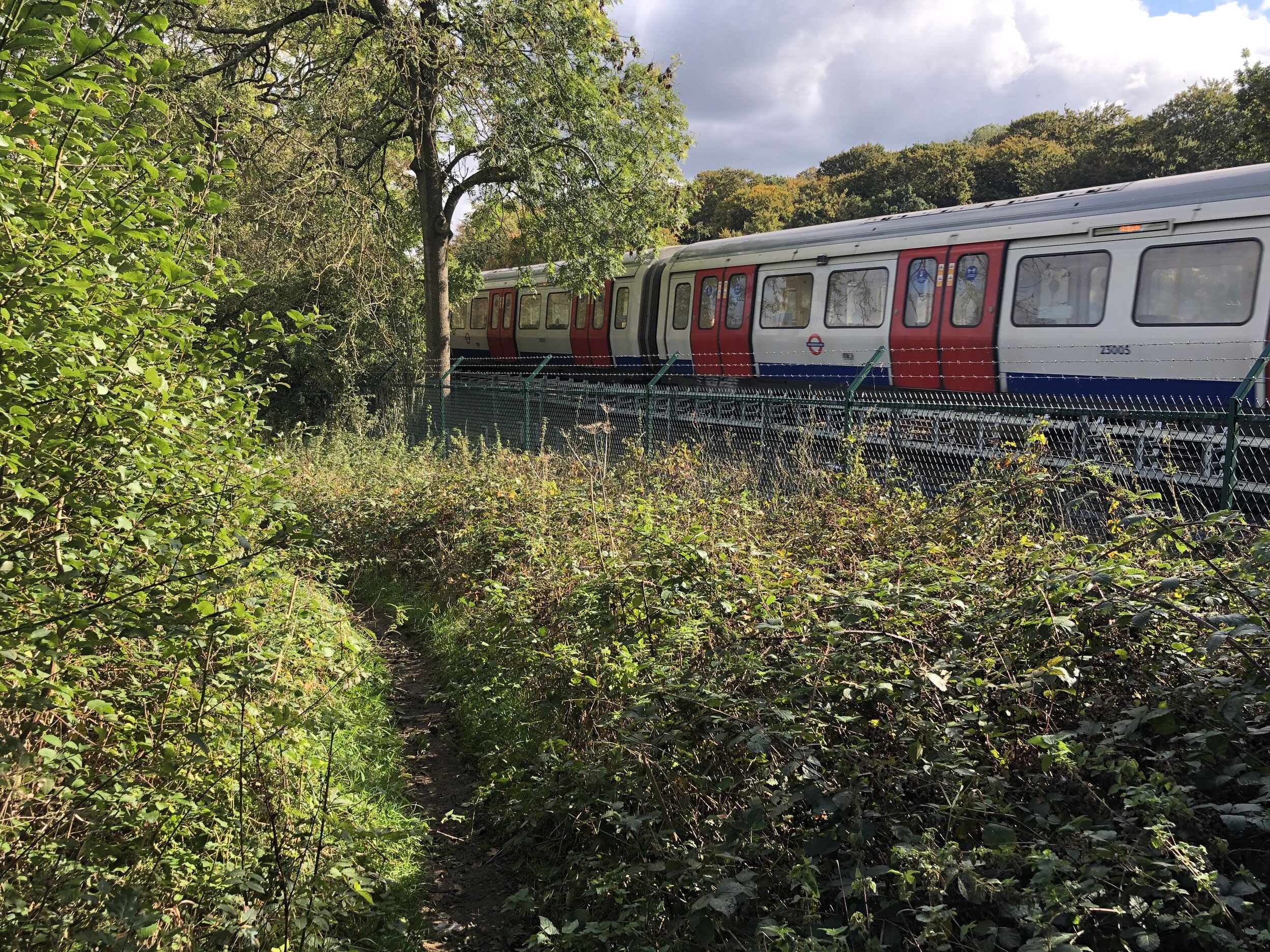
Start at northern entrance to Chalfont and Latimer Station and exit onto Bedford Avenue. Take a right onto Bedford Avenue heading east, then cross over the small green Amersham Road. Cross over to Oakington Avenue onto Lodge Lane. Follow the footpath that runs alongside Lodge Lane in a southerly direction then take a left to follow the field=edge path around Old Hanging Wood to reach the Chiltern Way / Chiltern Heritage Trail.
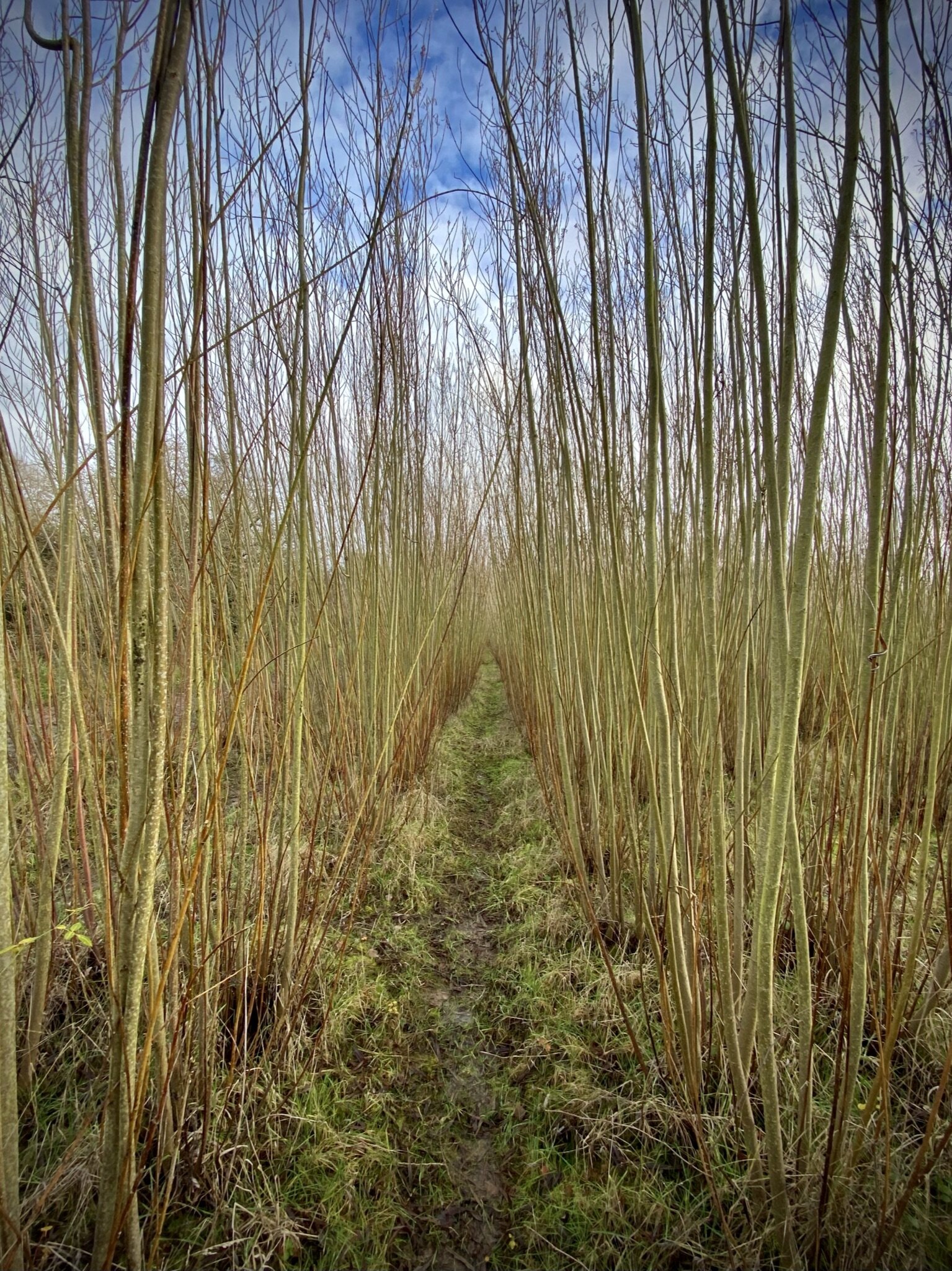
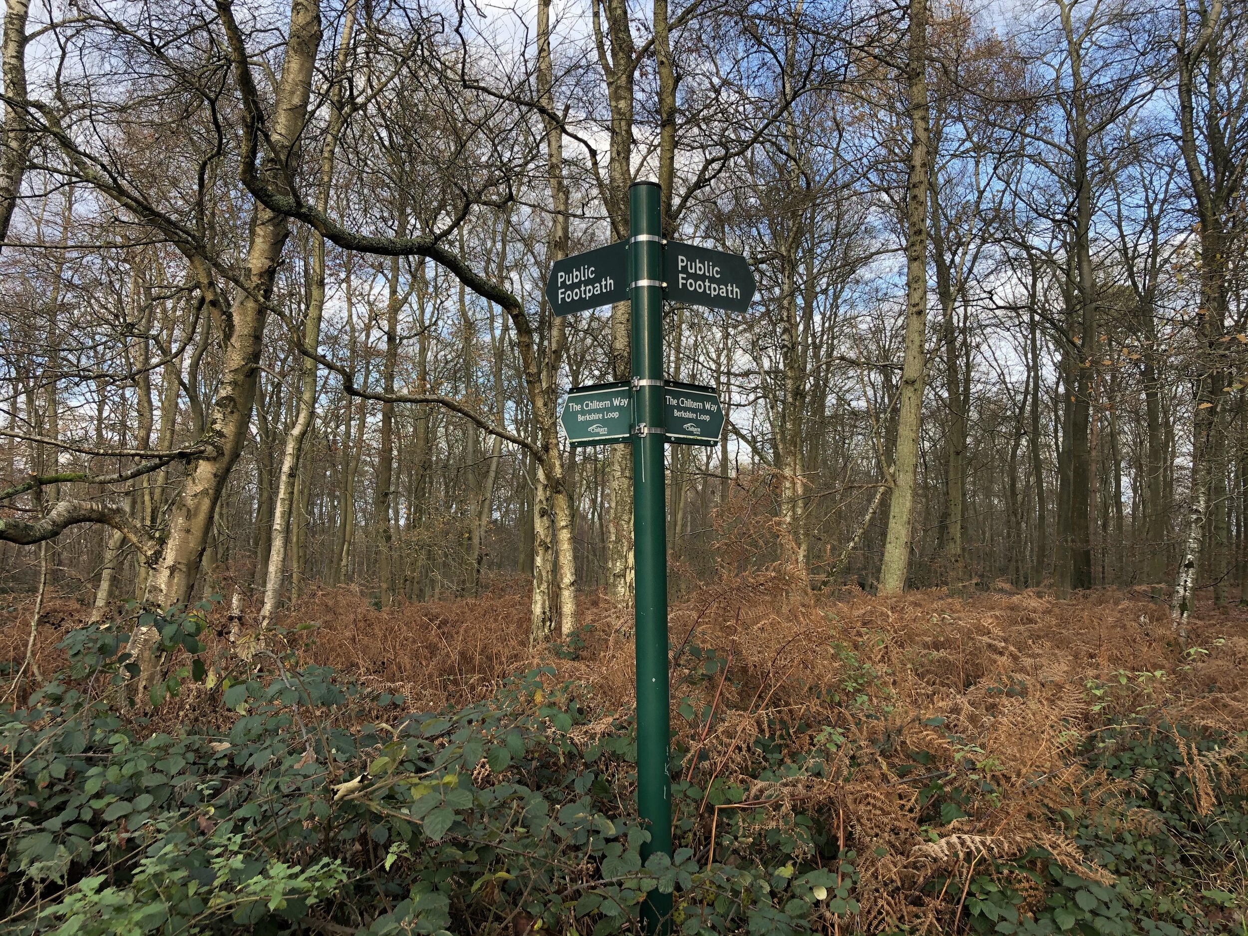
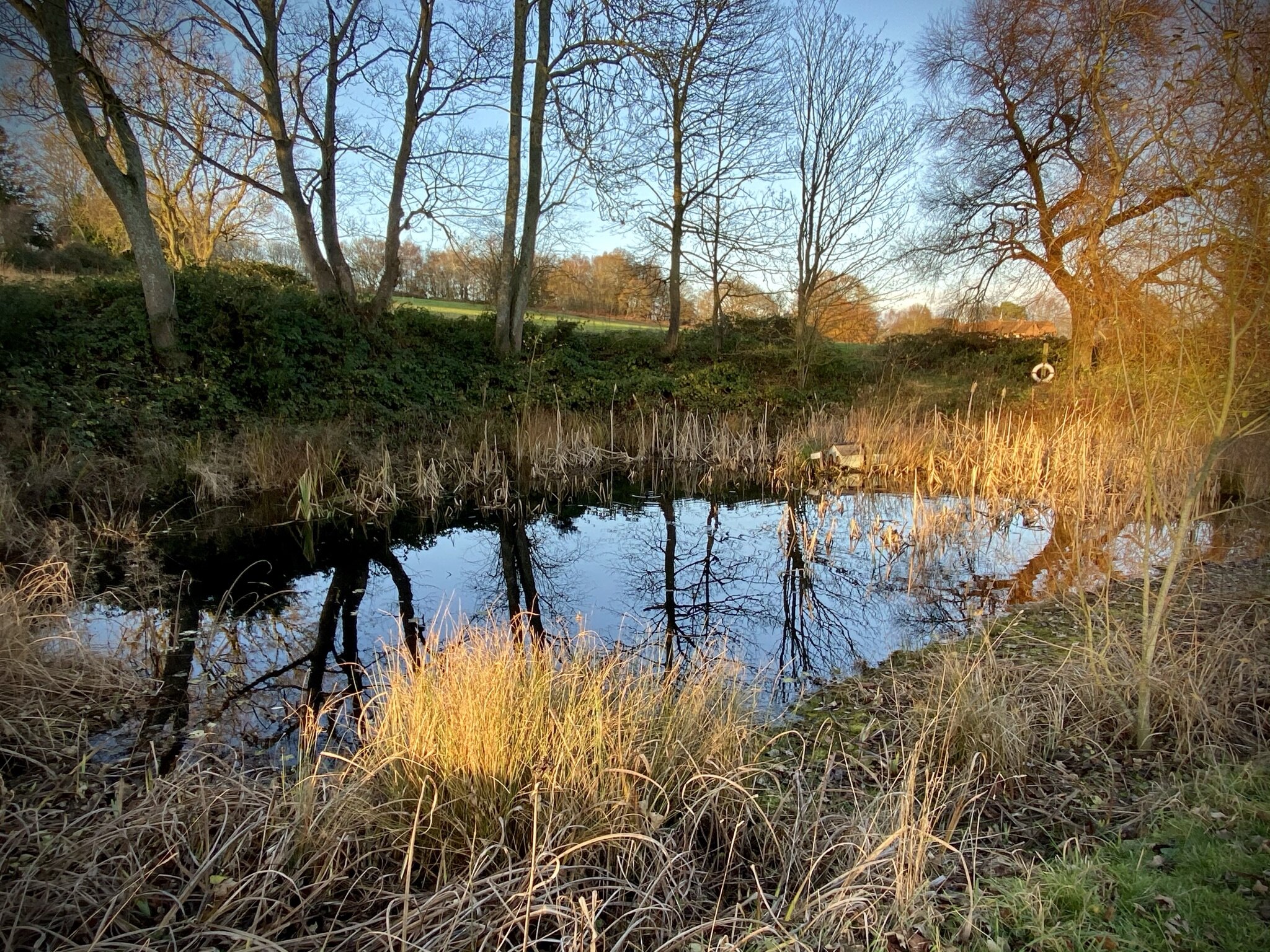
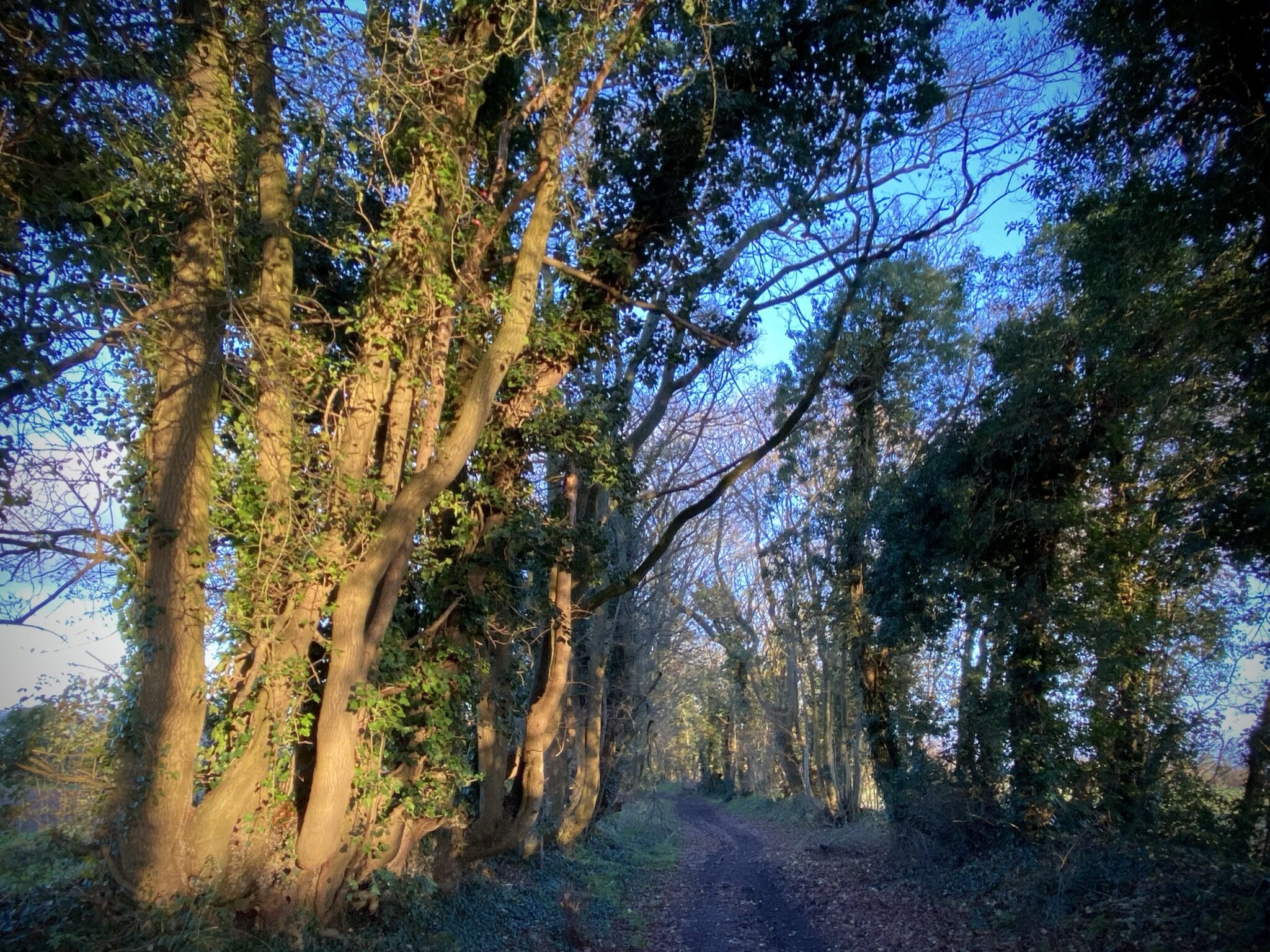
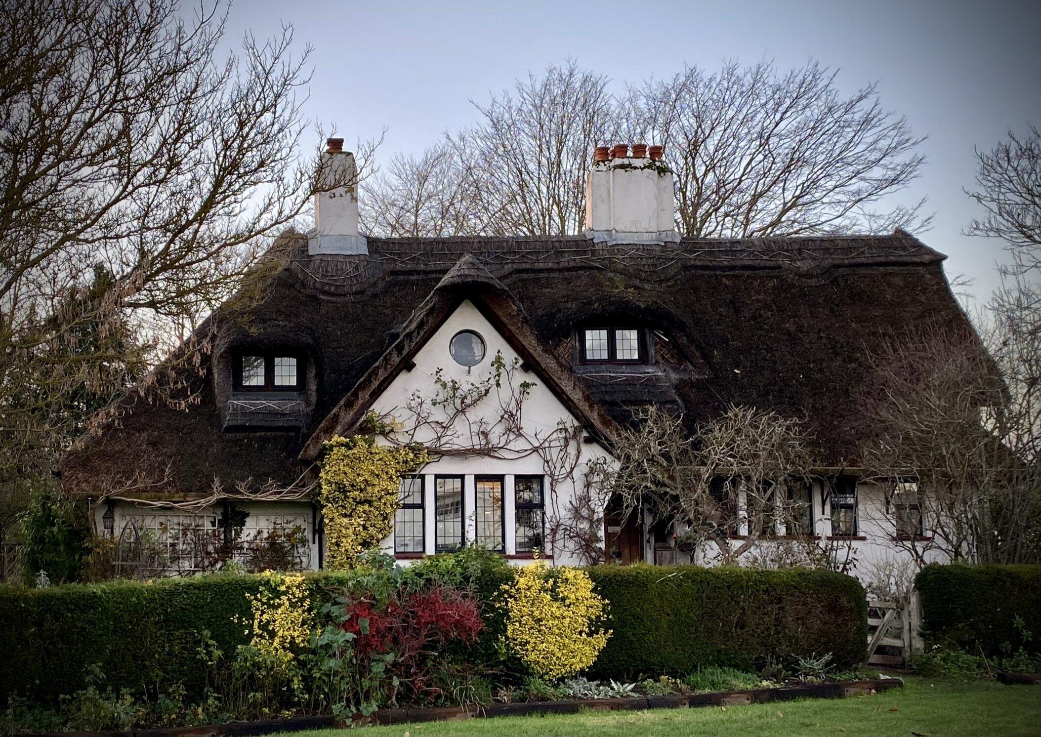
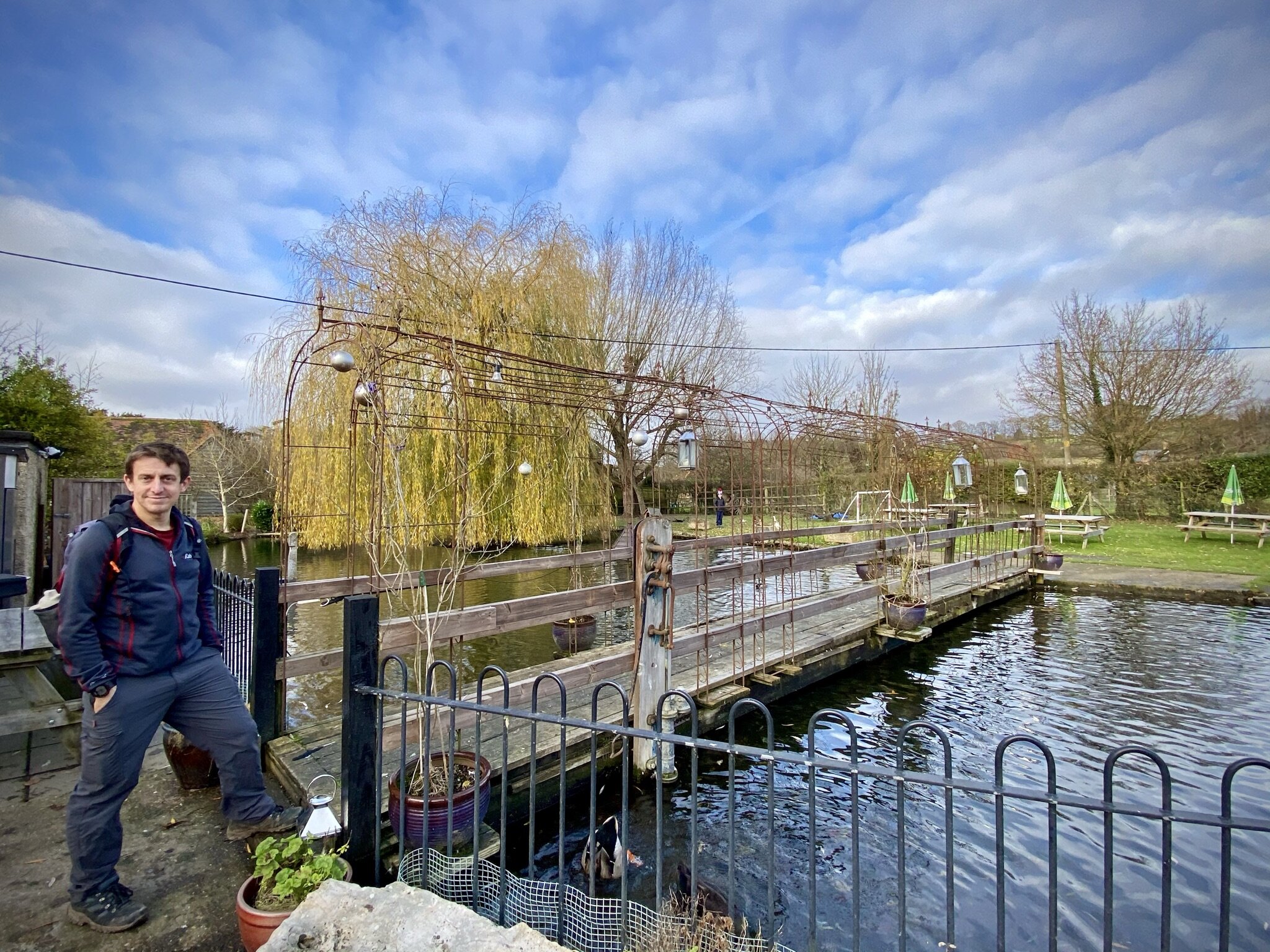
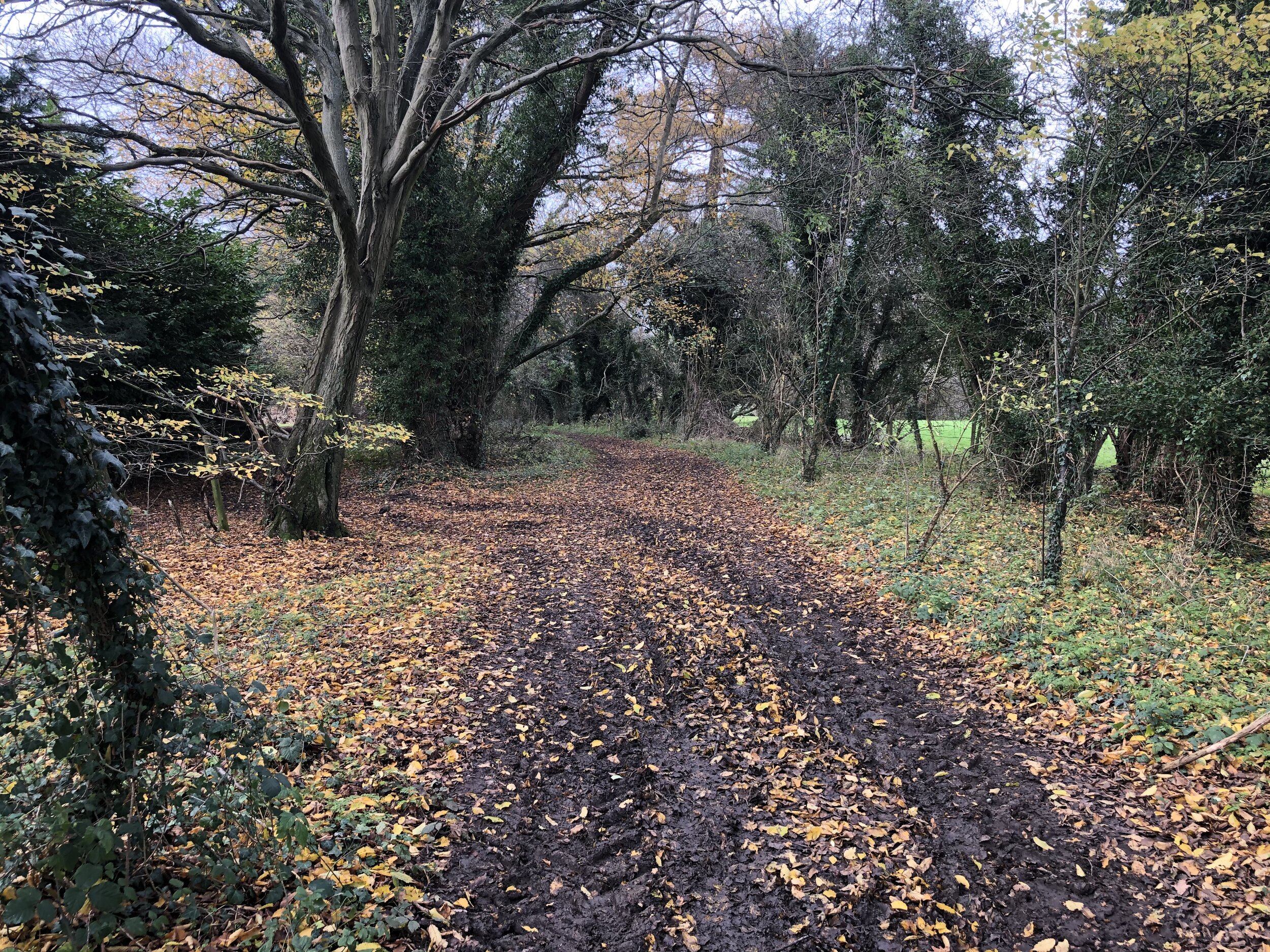
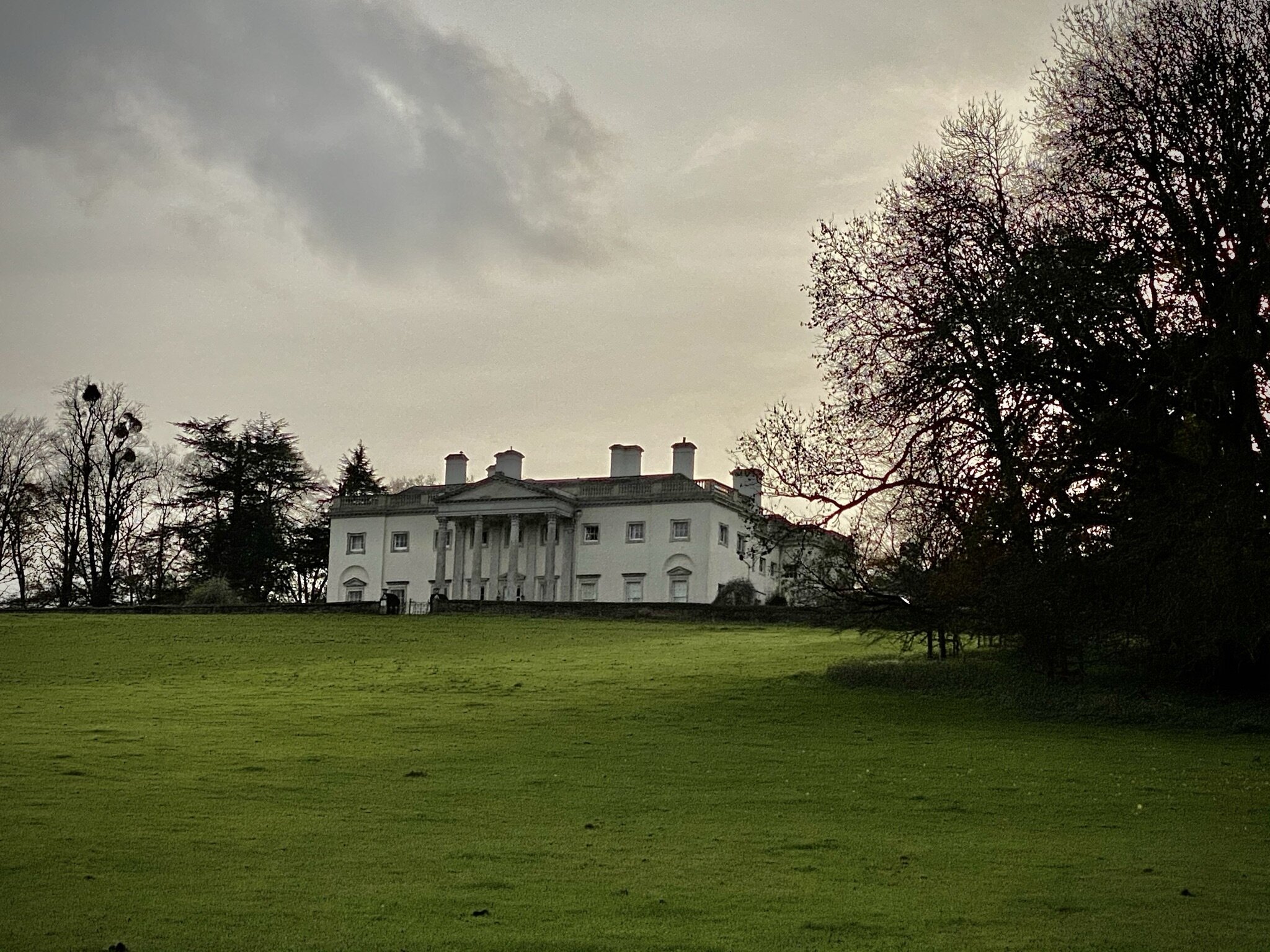
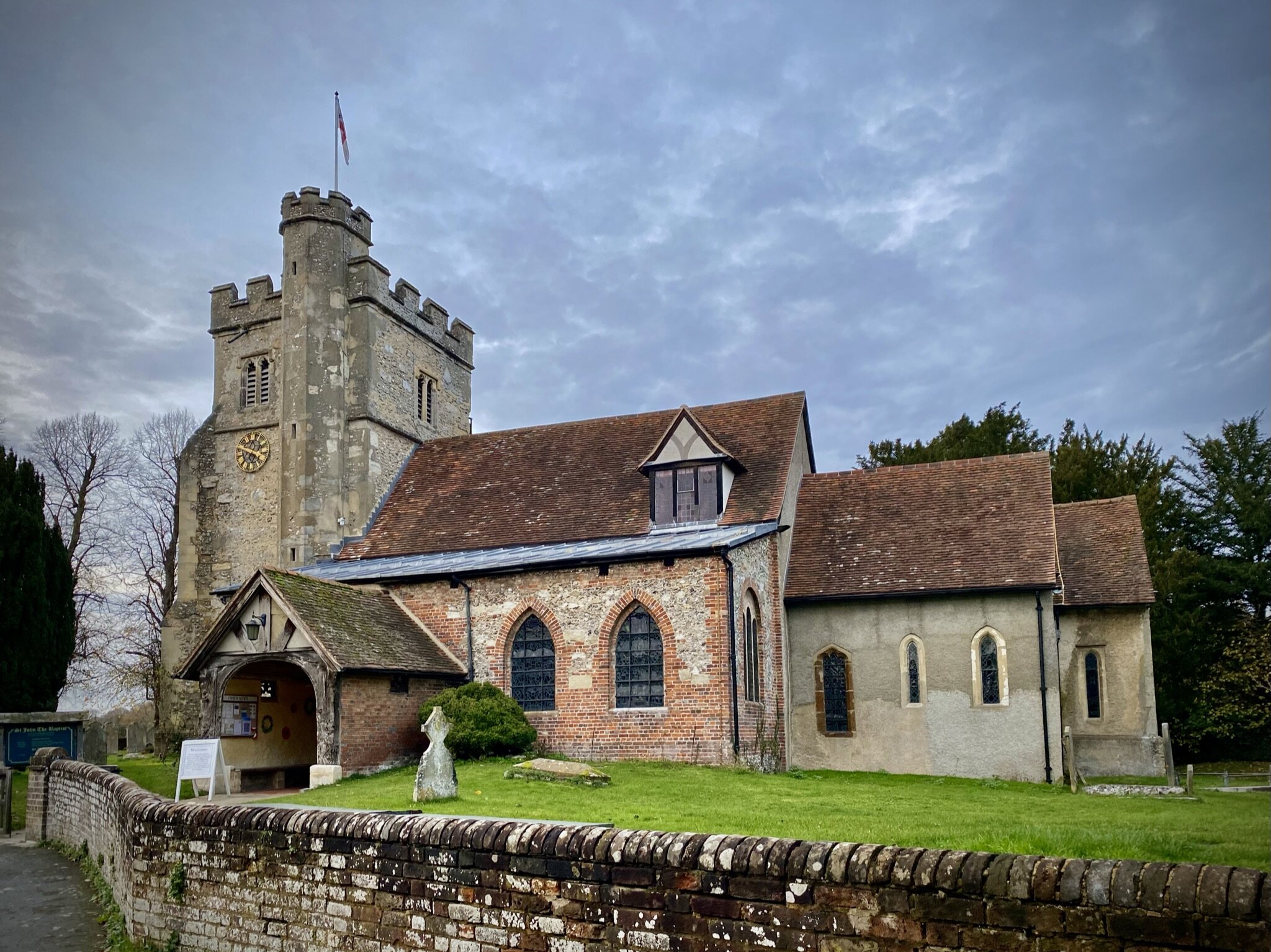
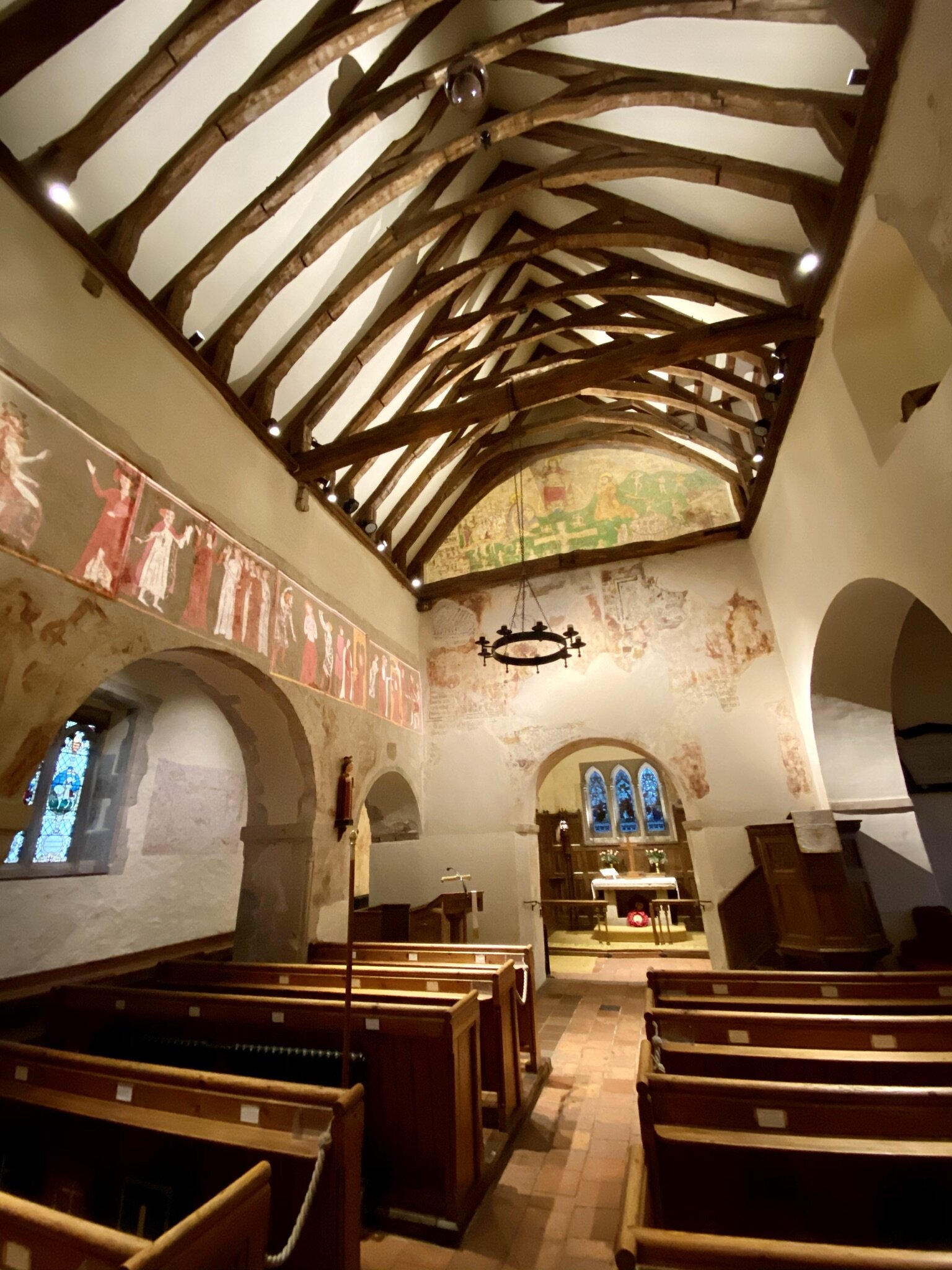
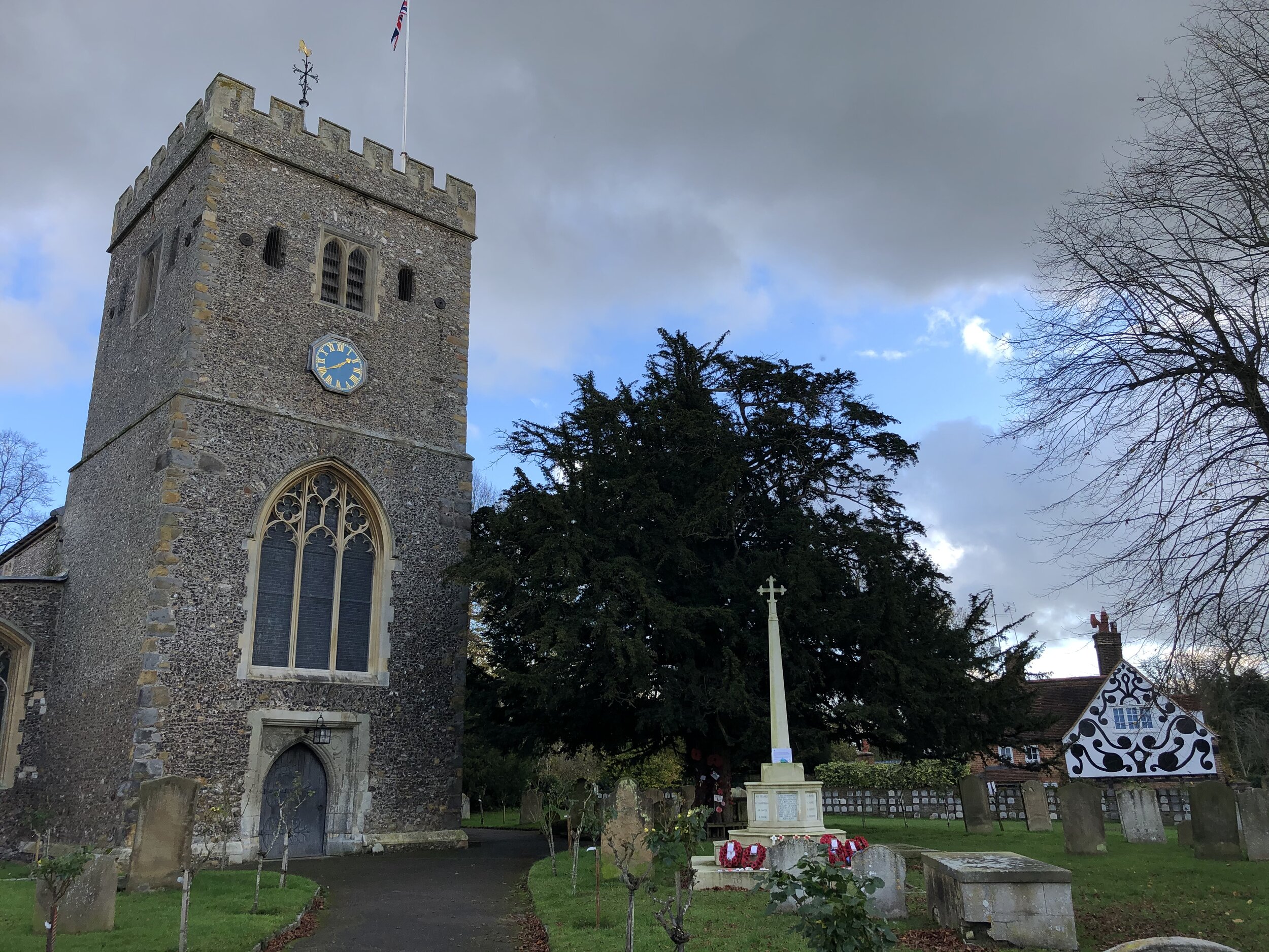
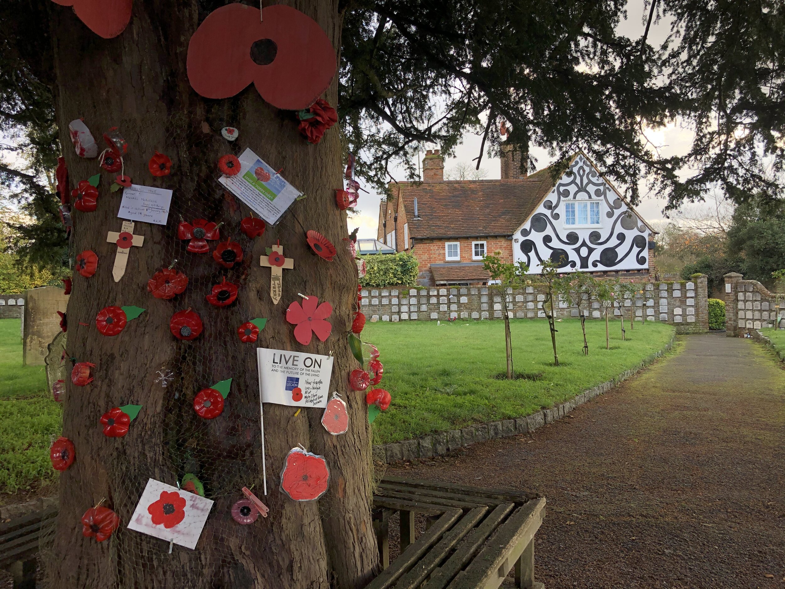
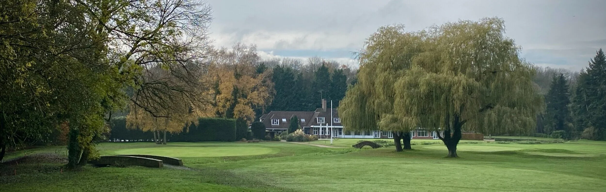
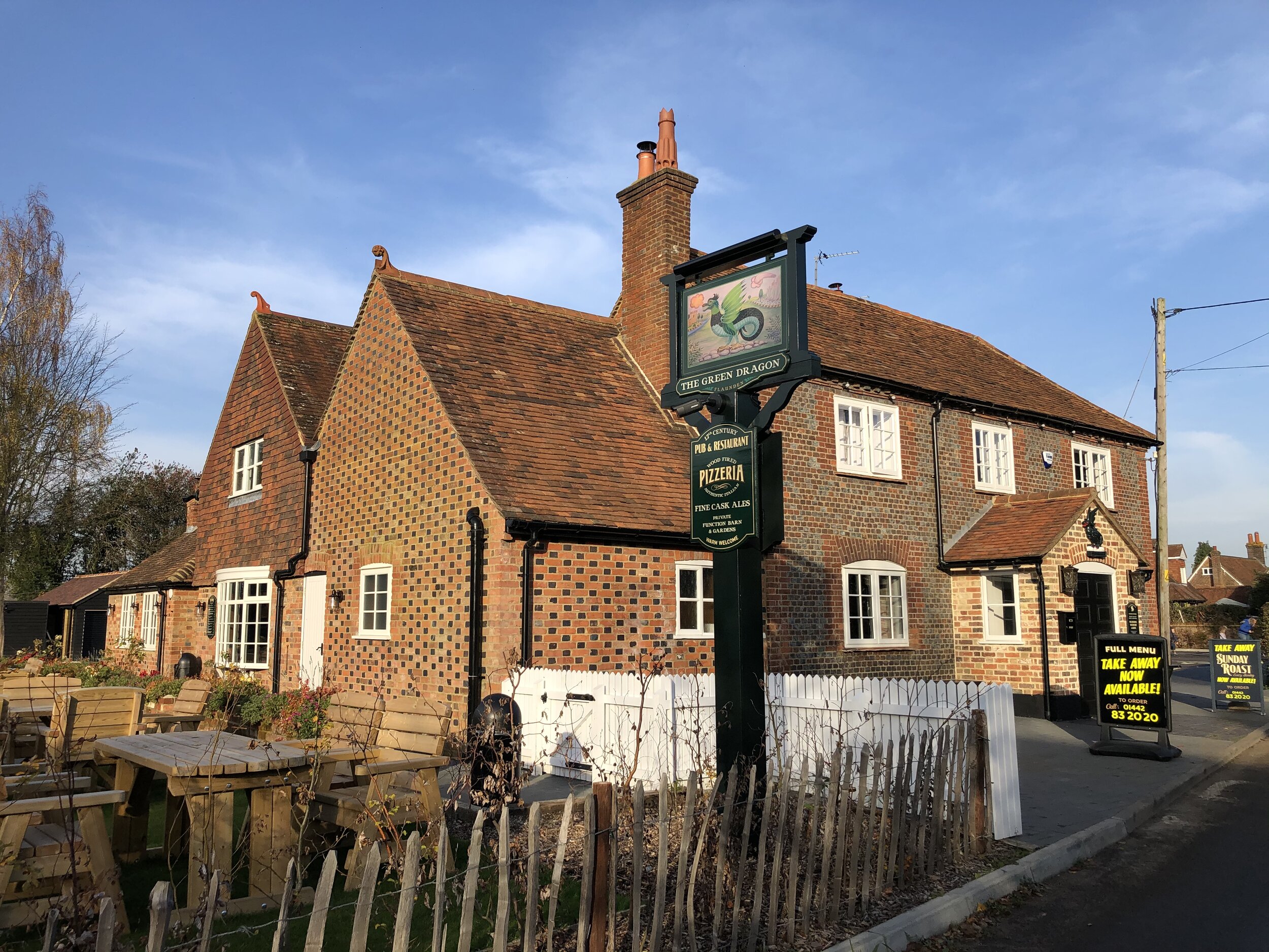
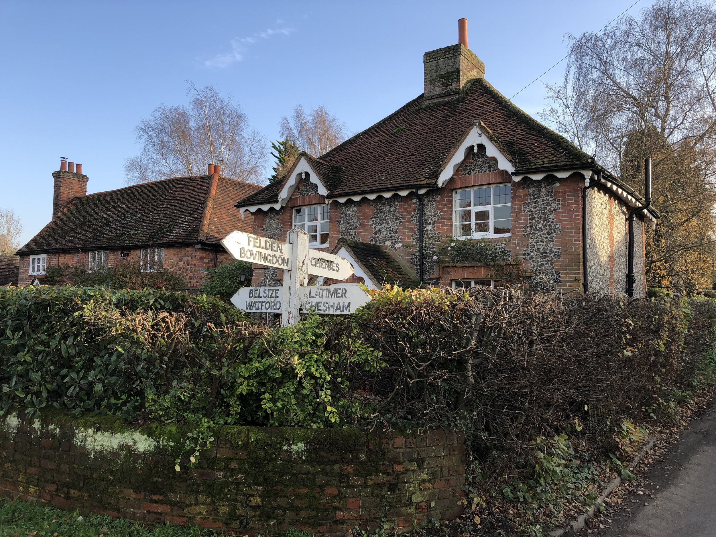
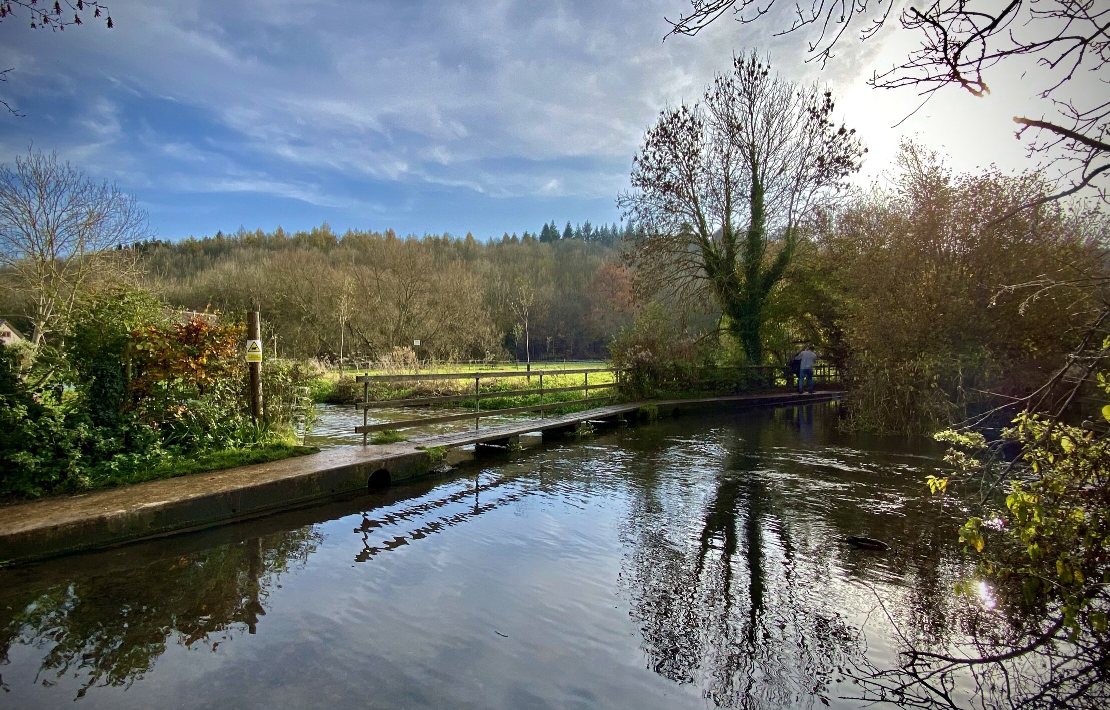
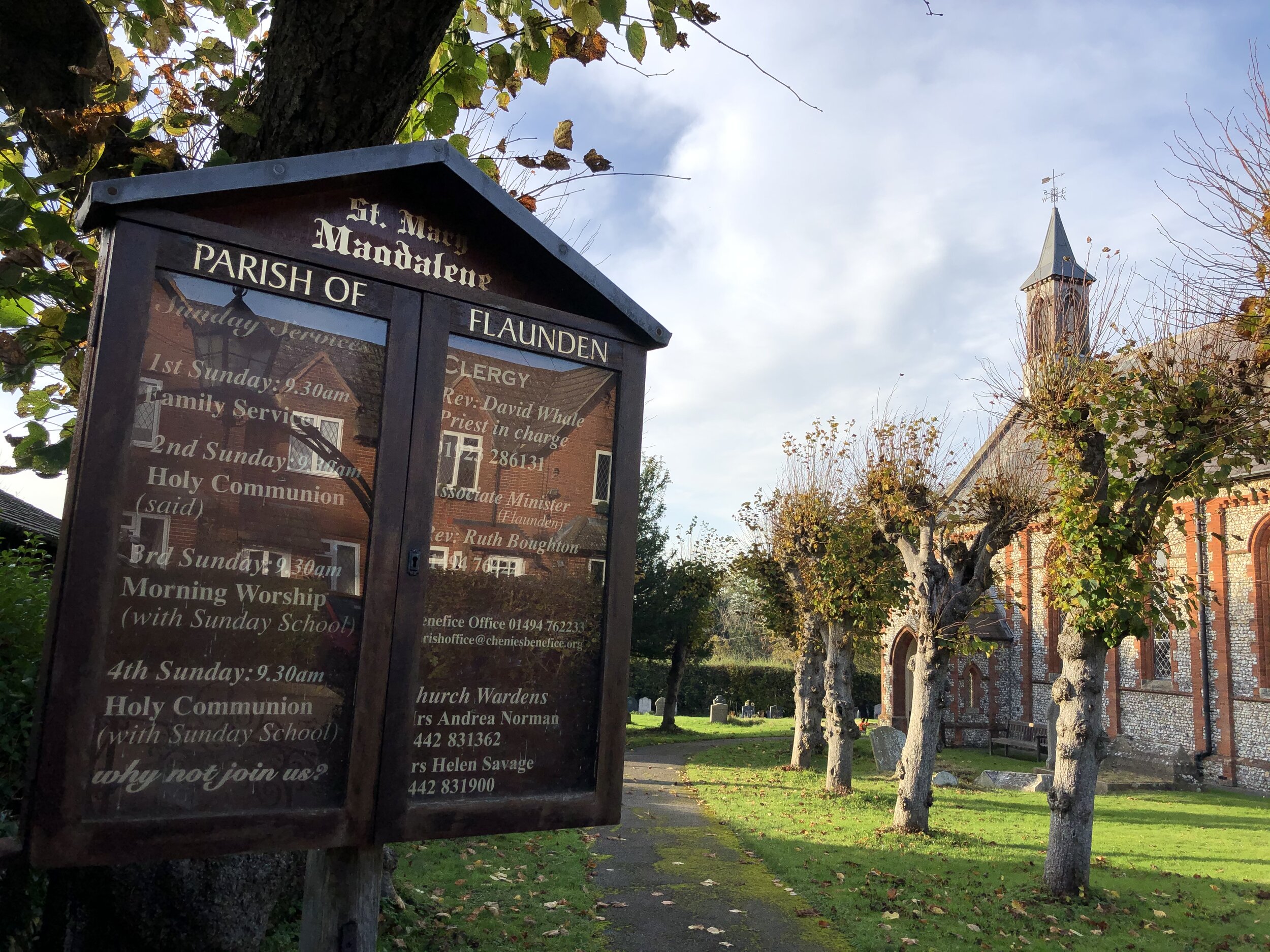
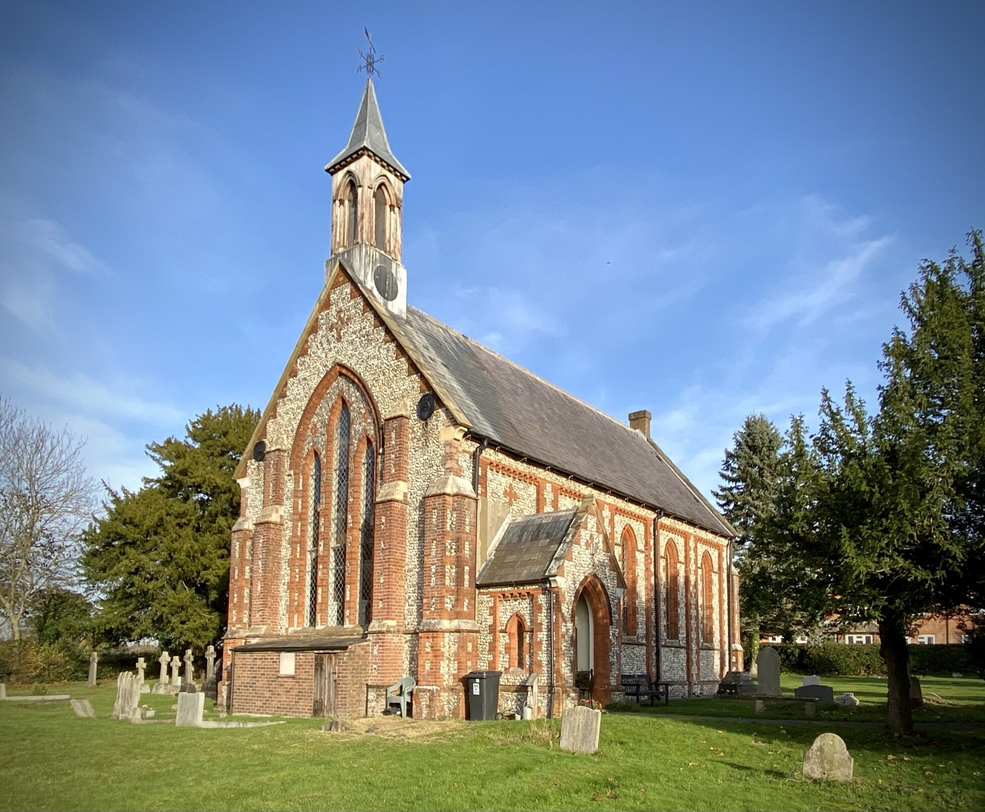
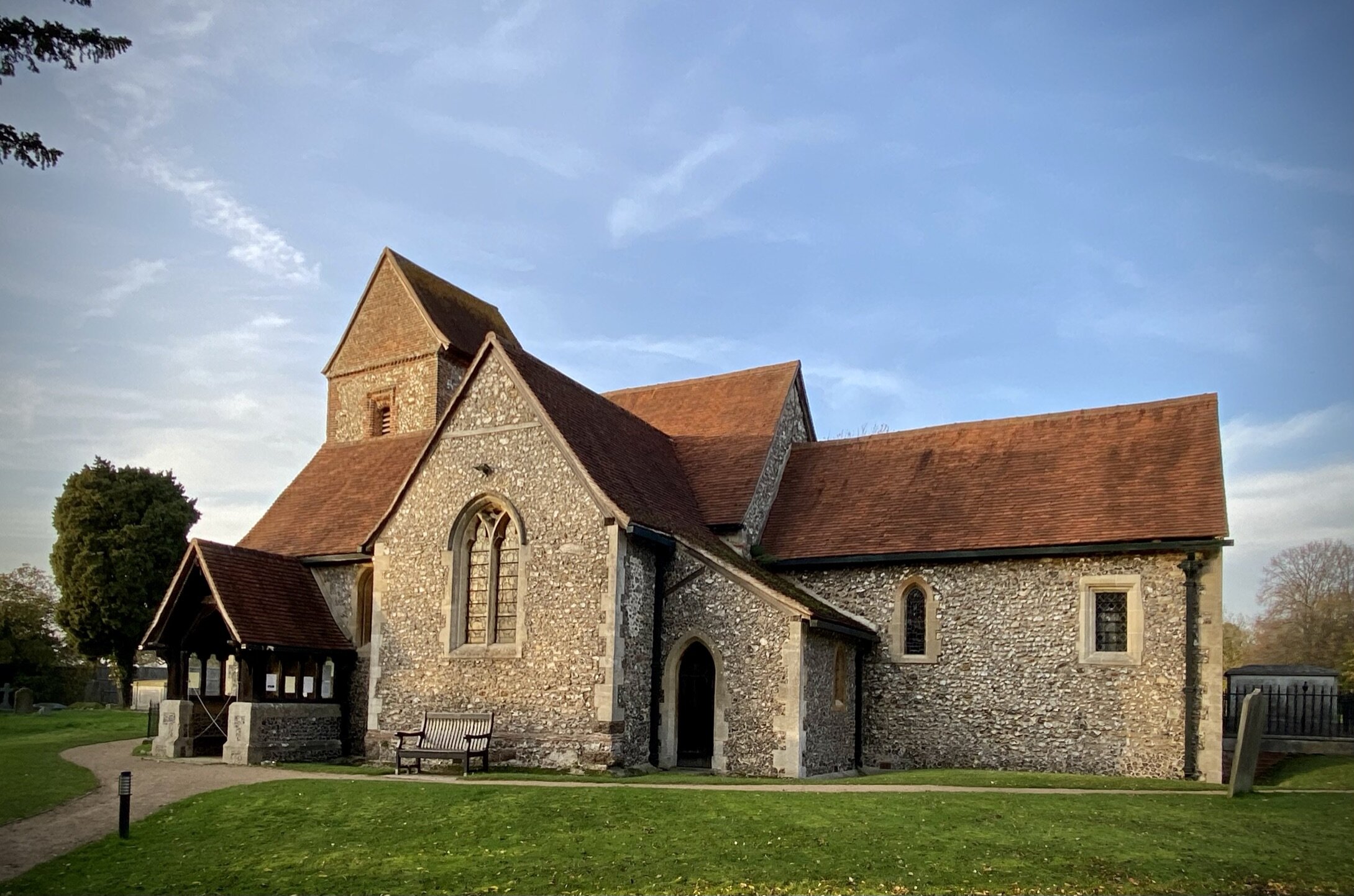
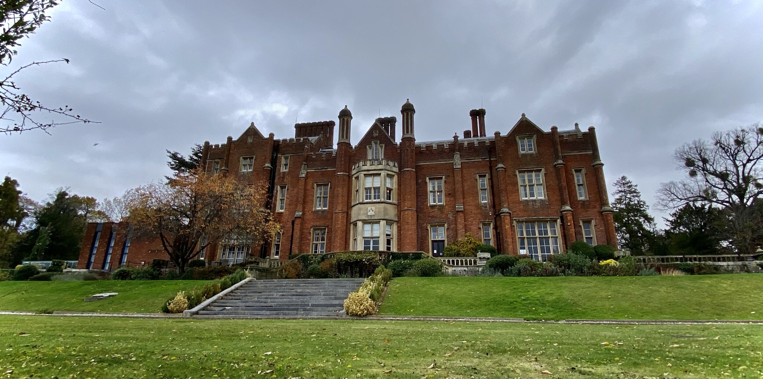
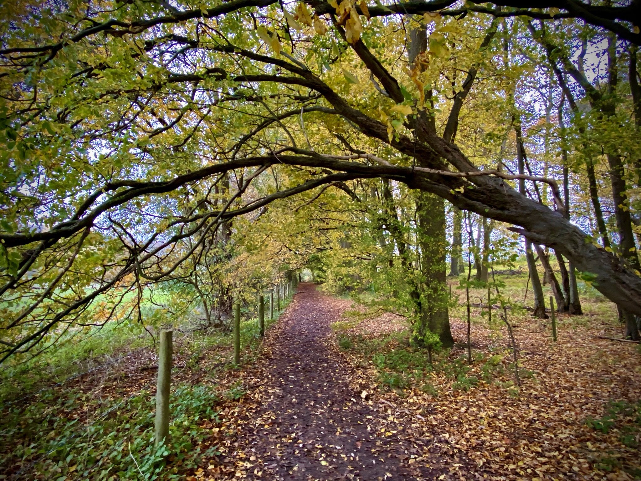
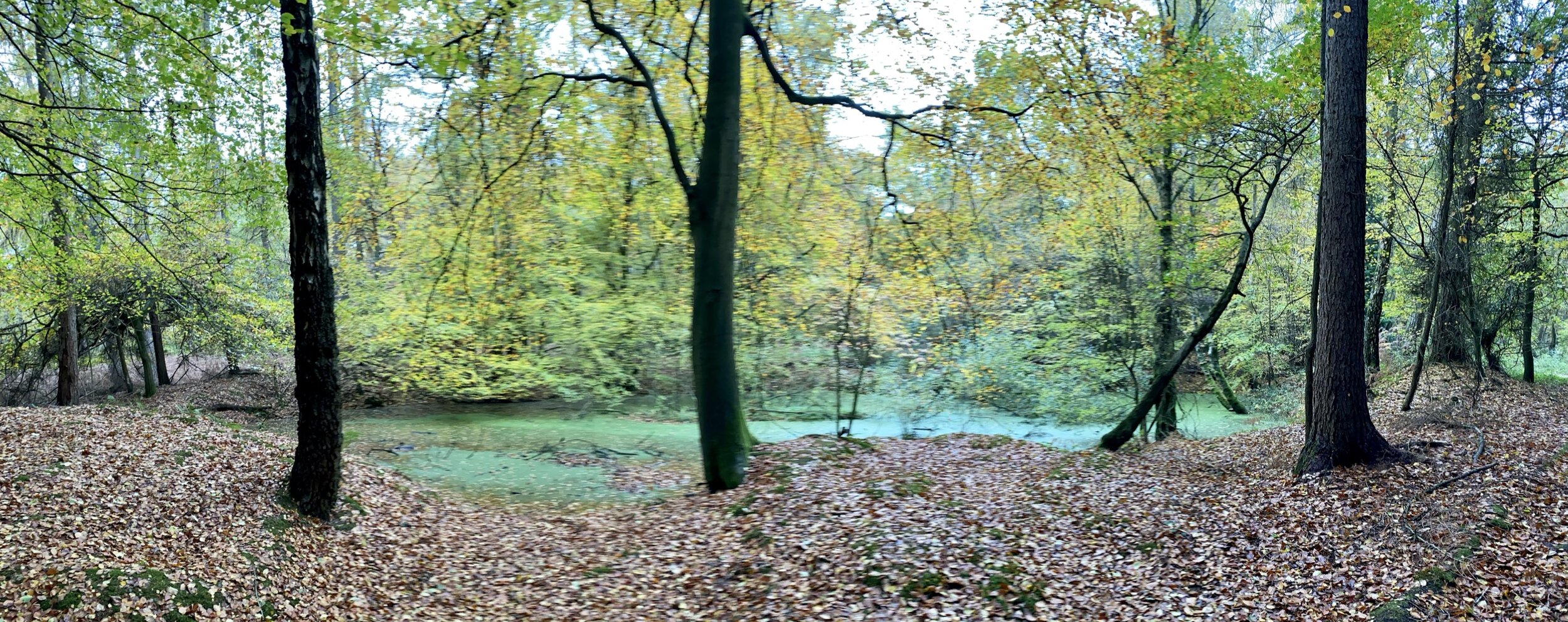
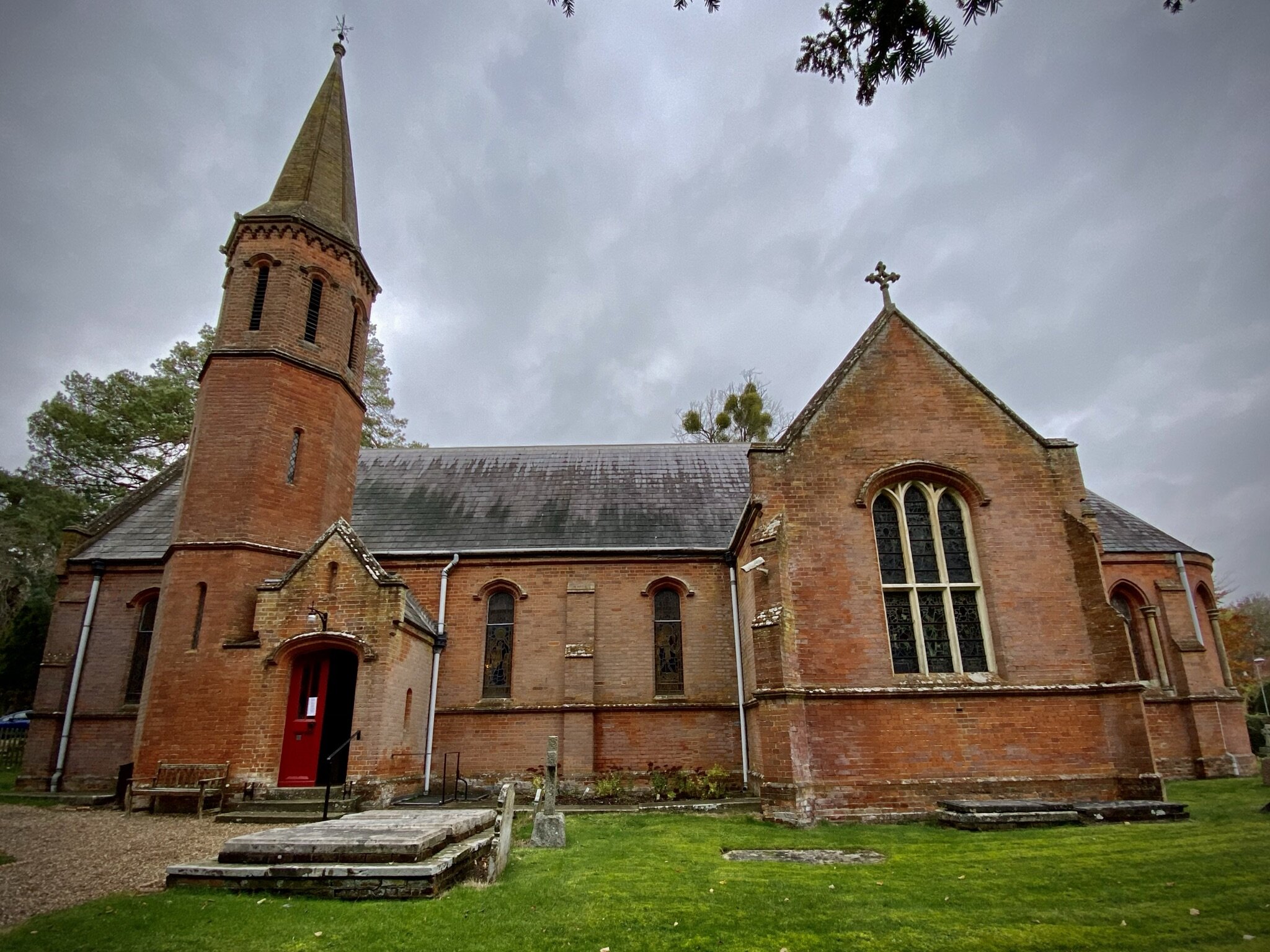
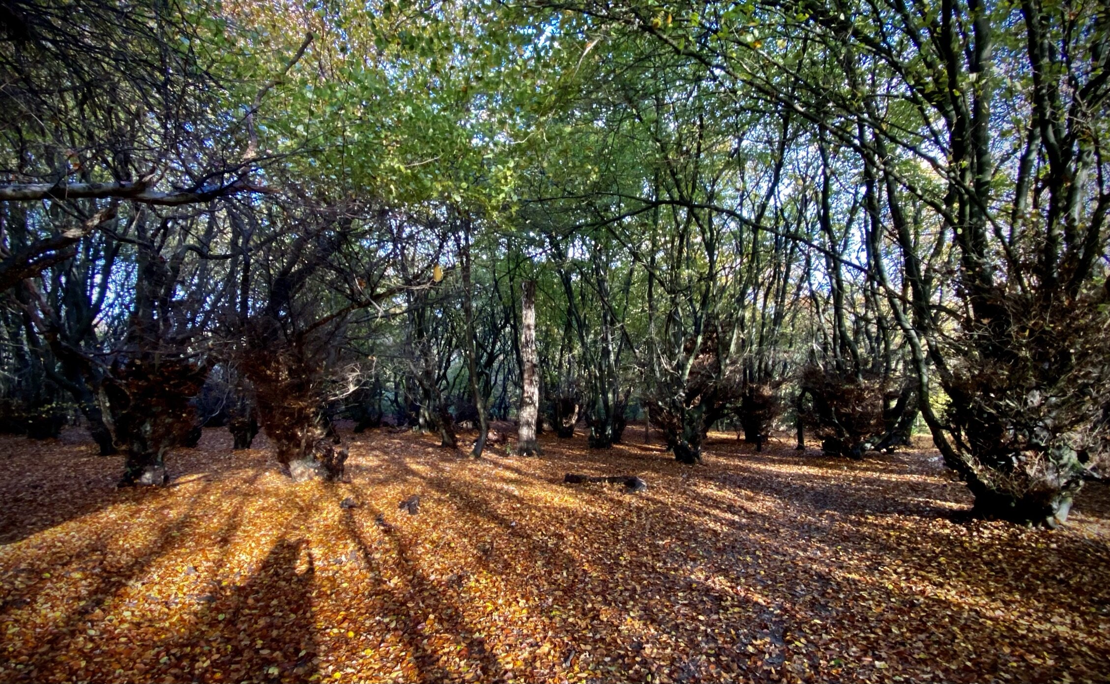
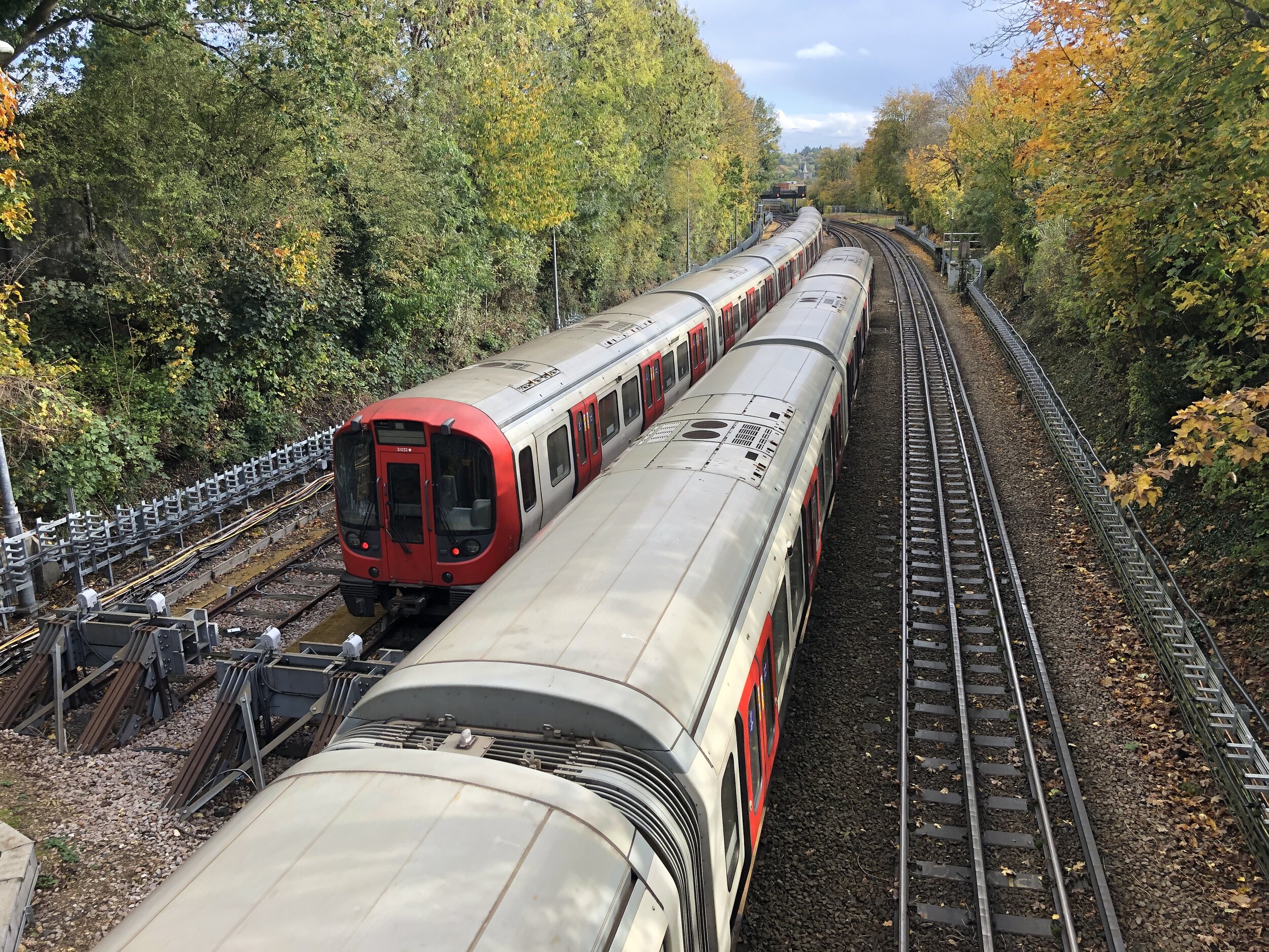
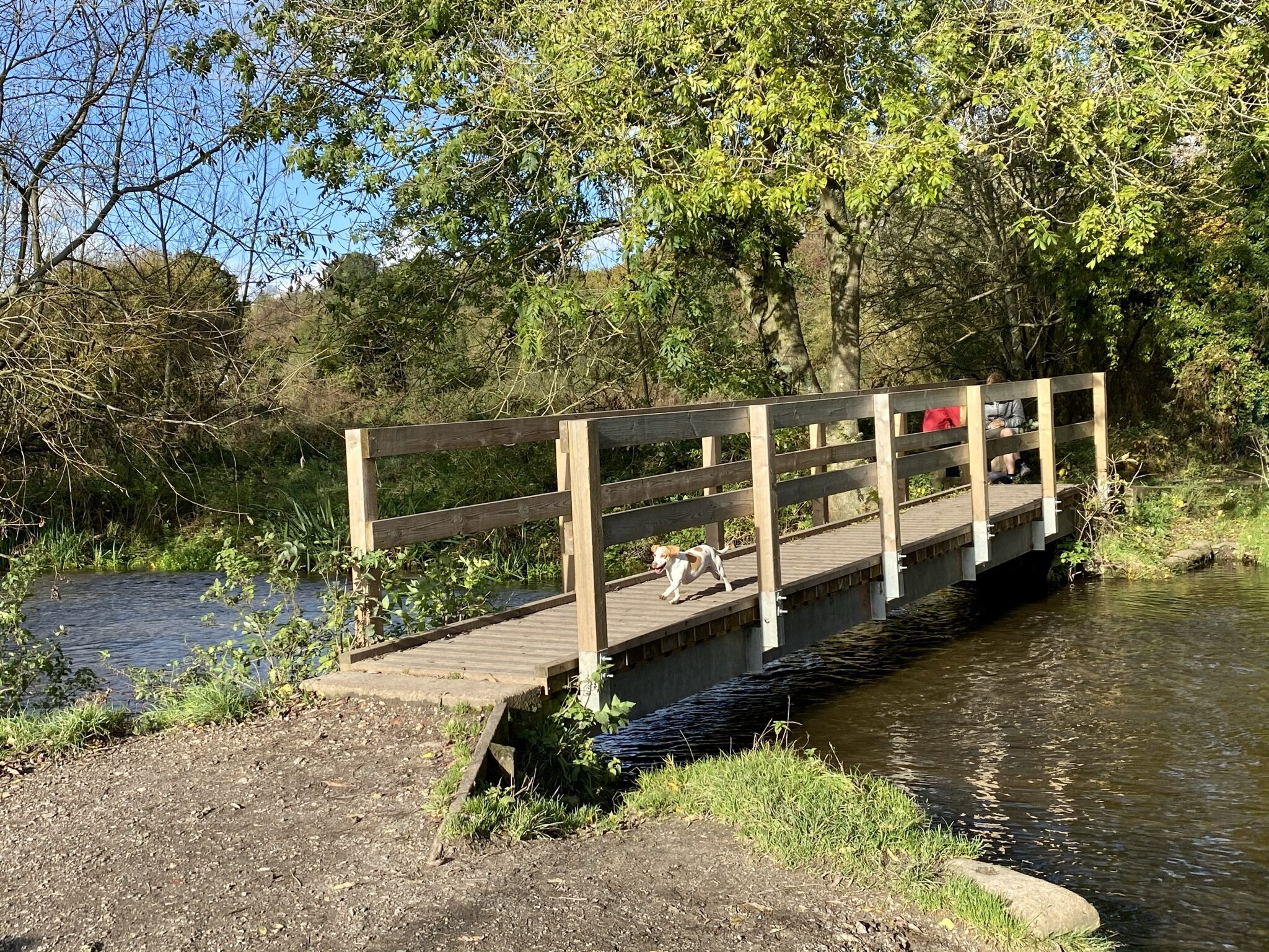
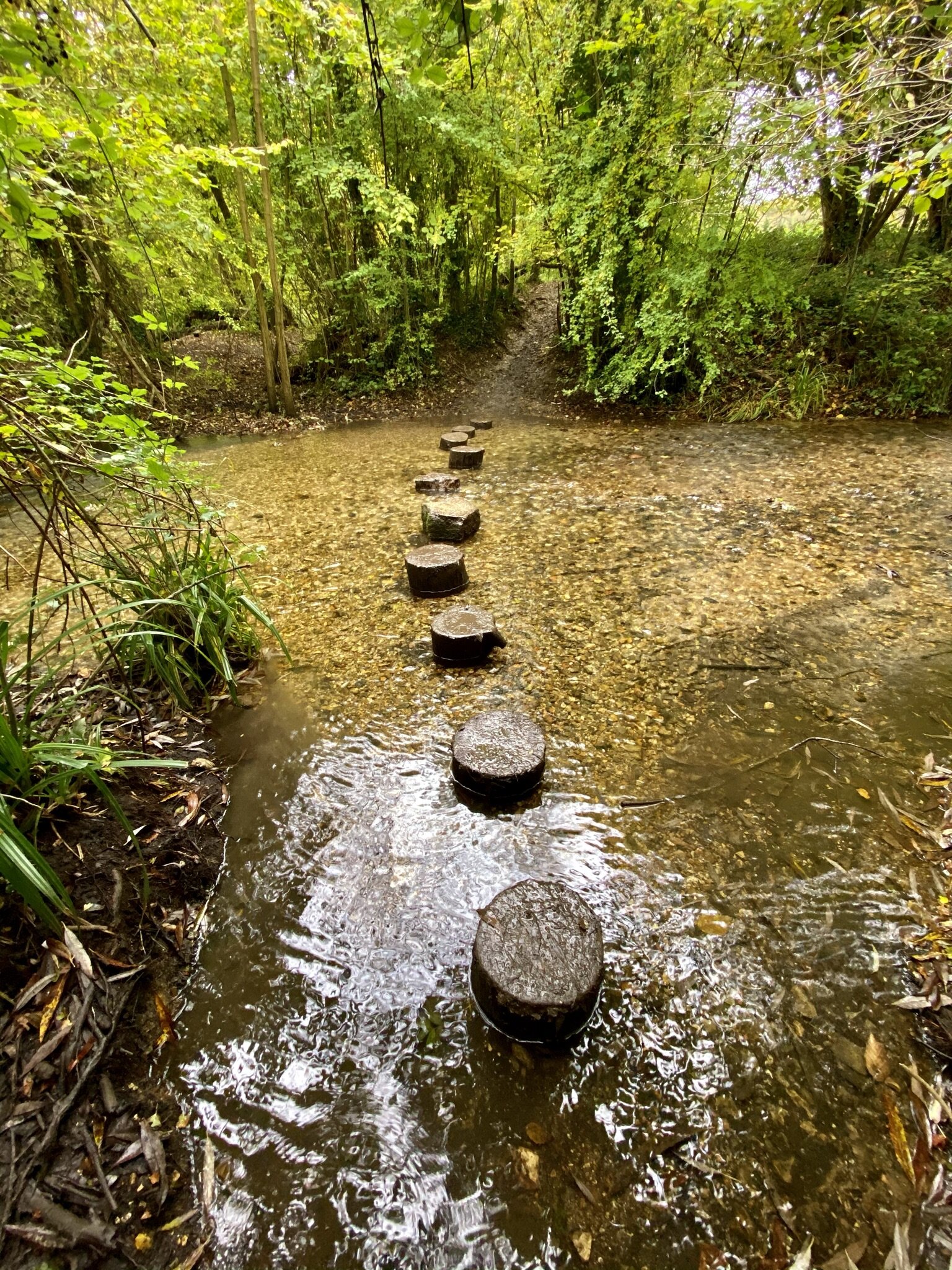
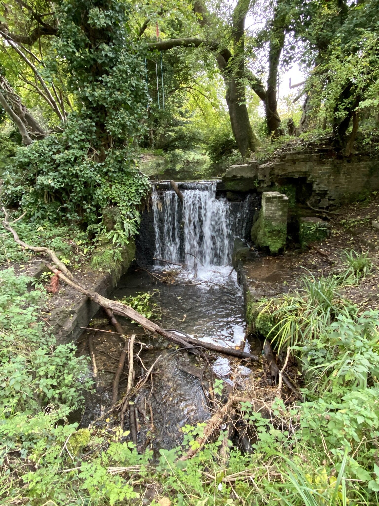
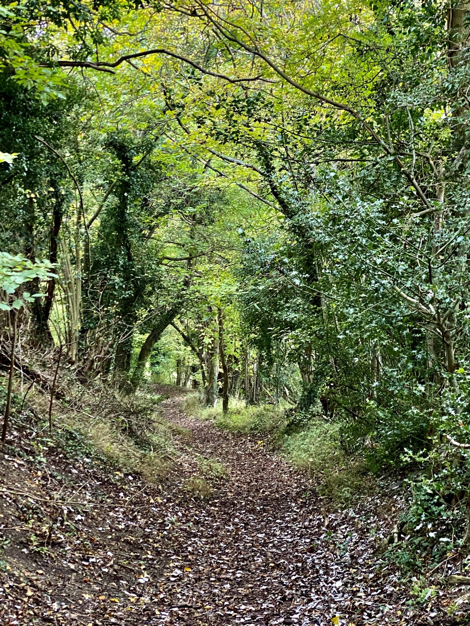
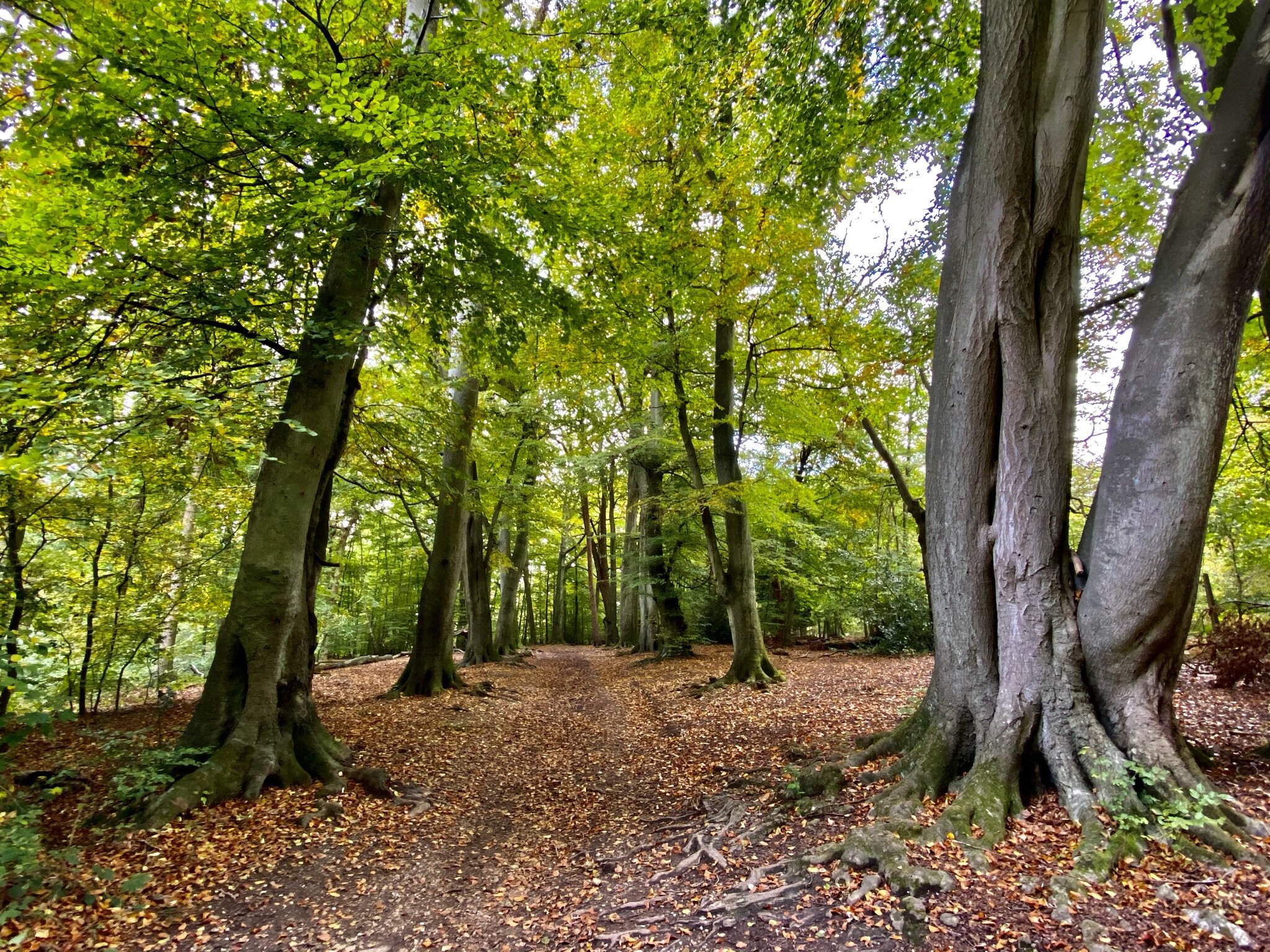
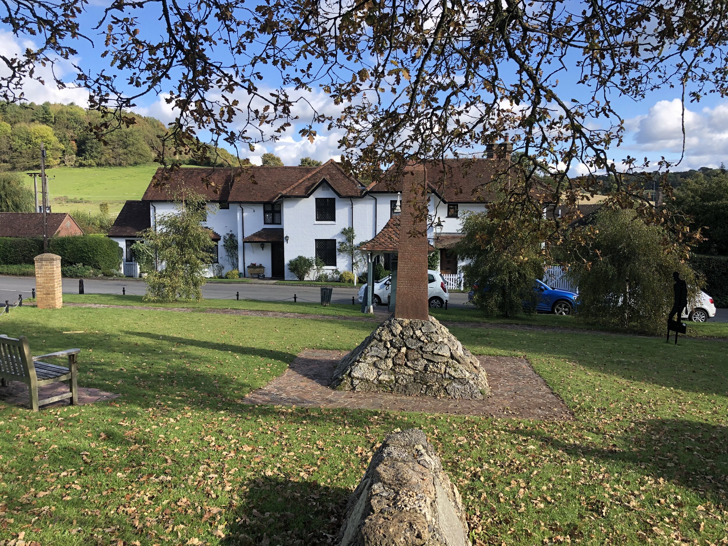
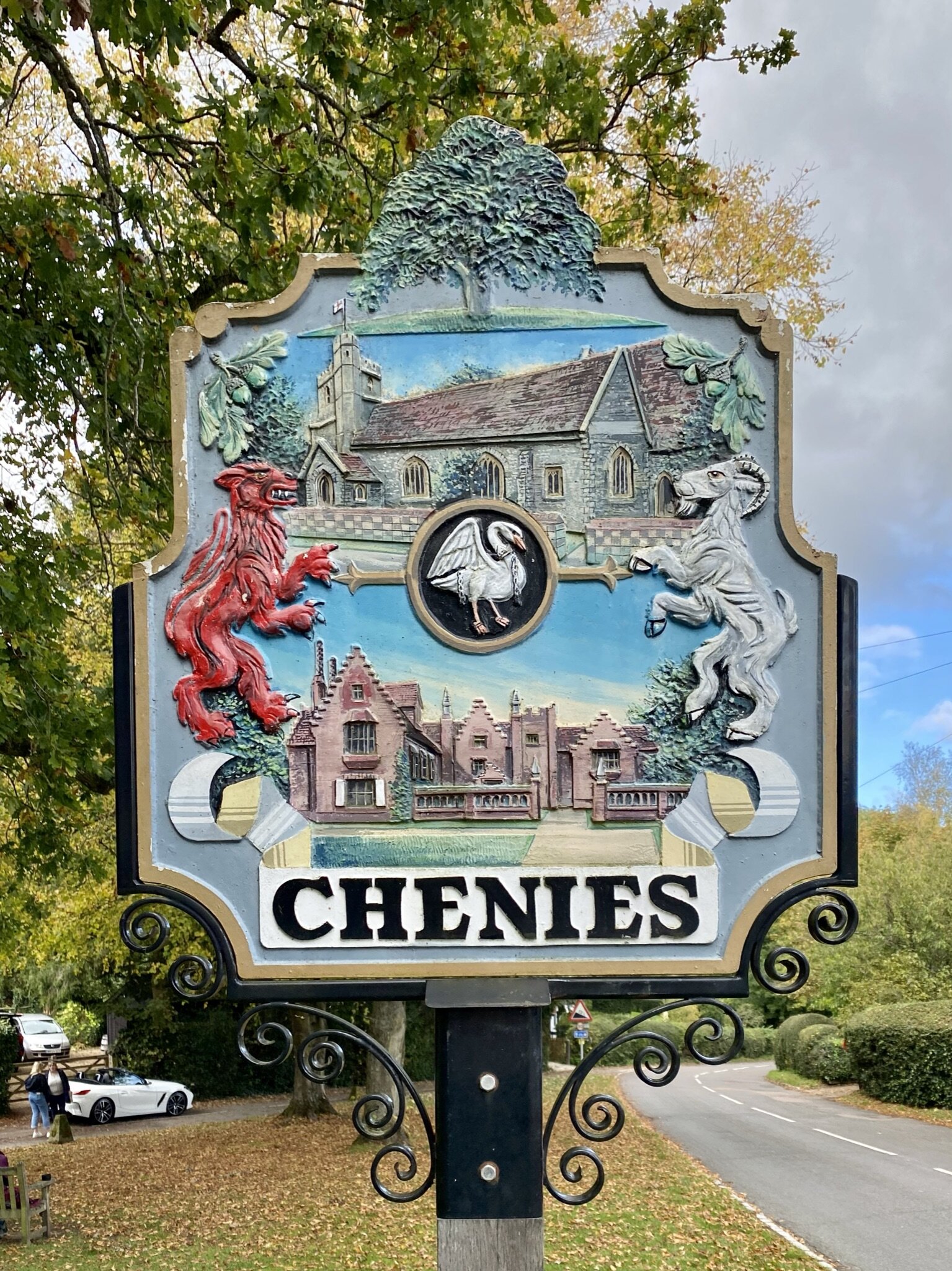
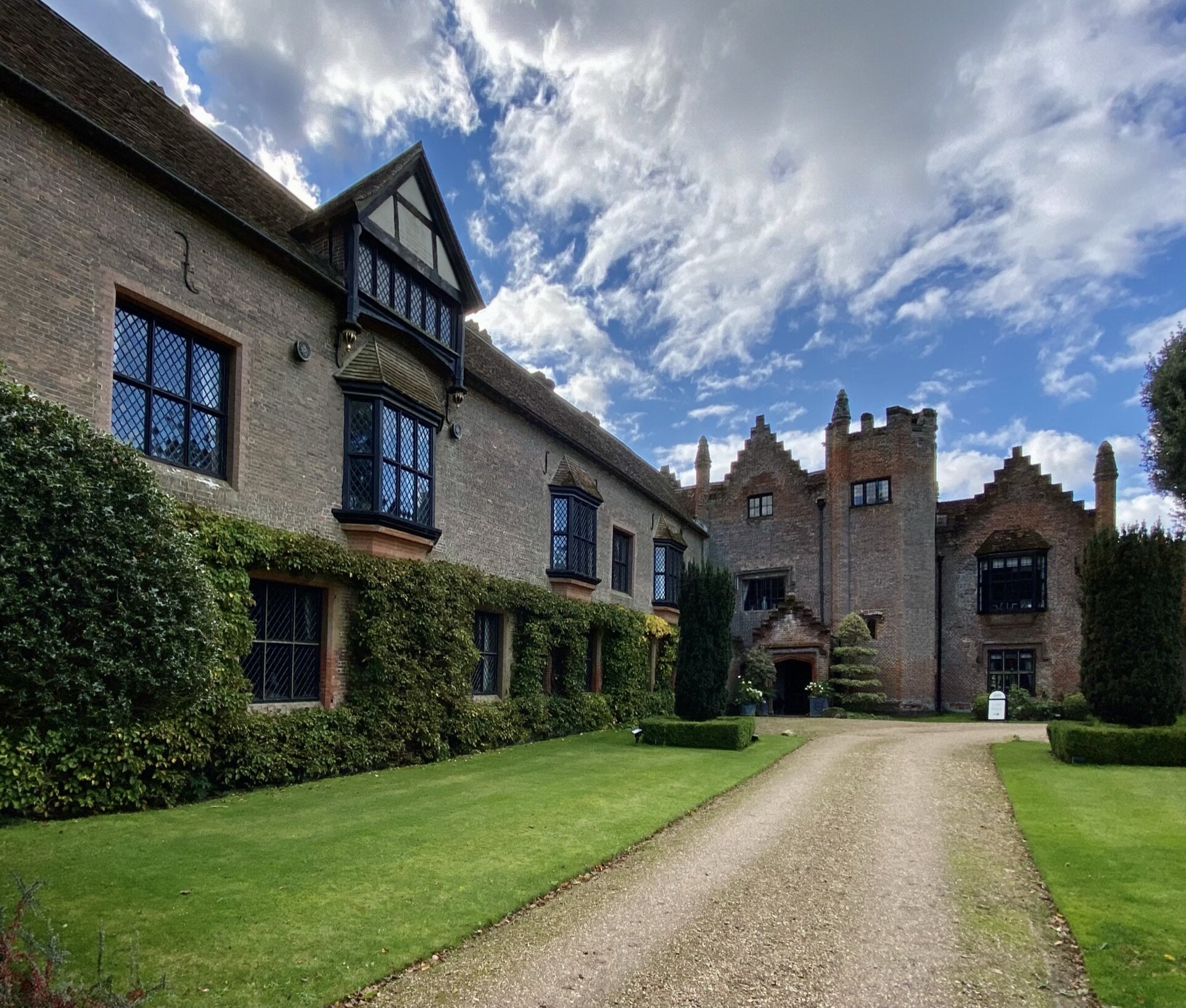
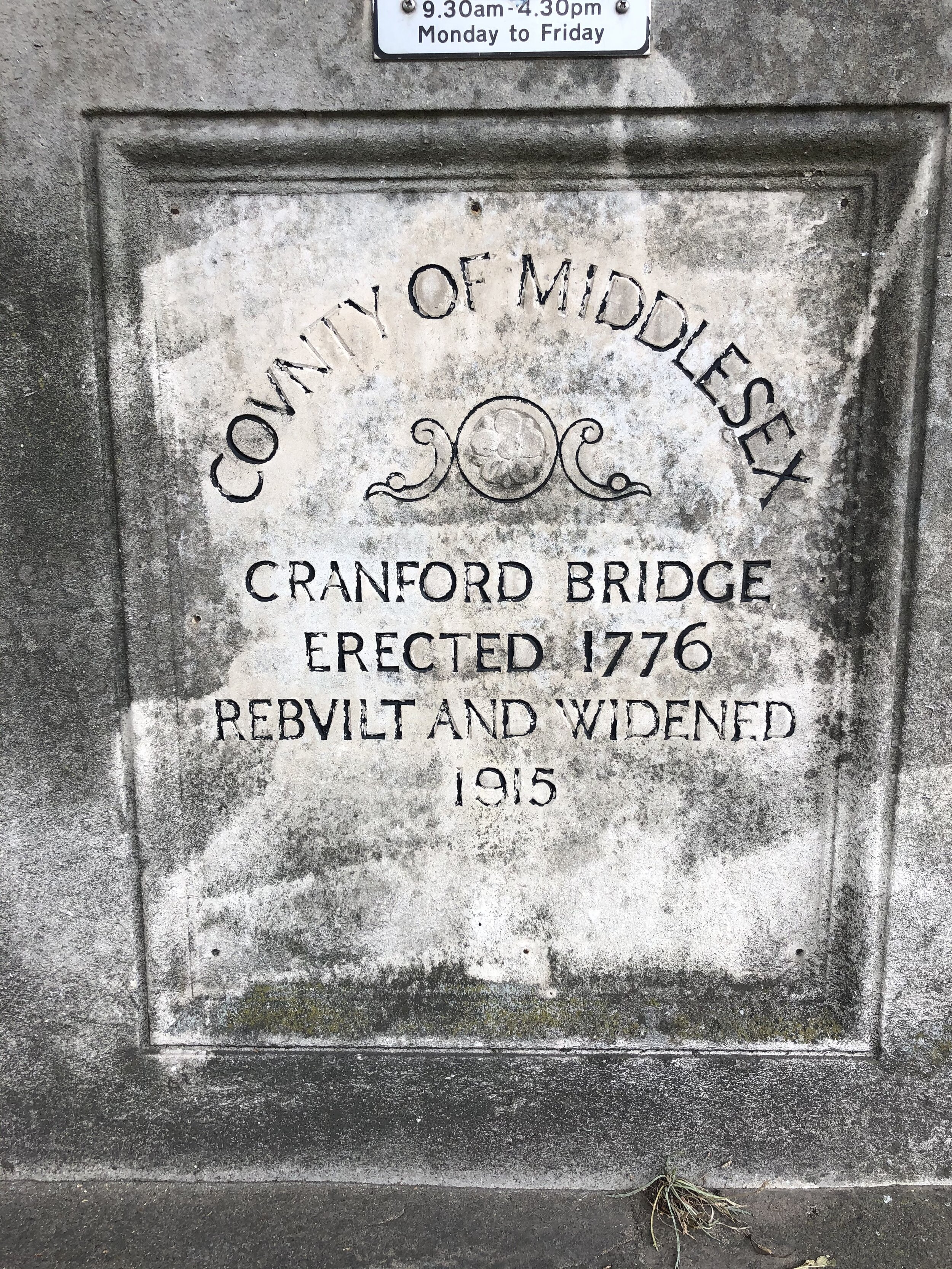
Take a left onto the Chiltern Way / Chiltern Heritage Trail to head north away from the railway line. Cross over the Amersham Road to follow the Heritage Trail to Chenies. Don’t take the right-hand path following the Chiltern Way. Continue to follow the Heritage Trail through the Chenies Estate, descend through Chenies Wood to cross over Latimer Road and the River Chess.
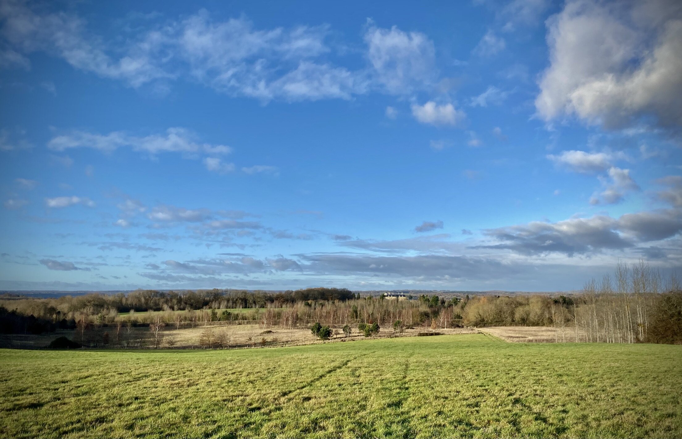
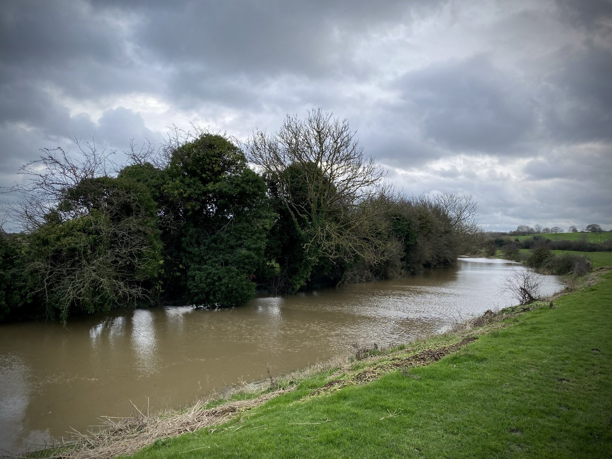
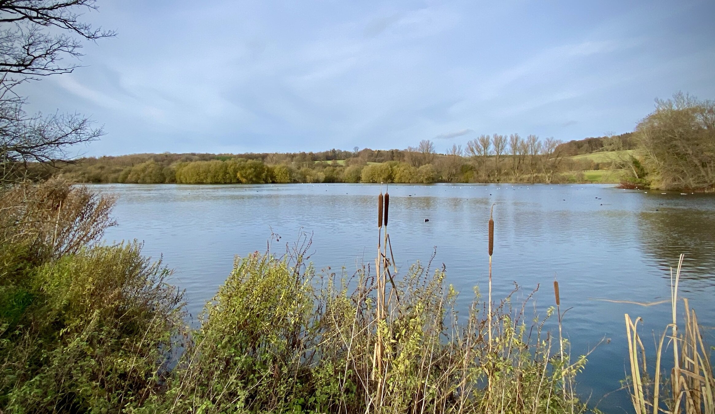
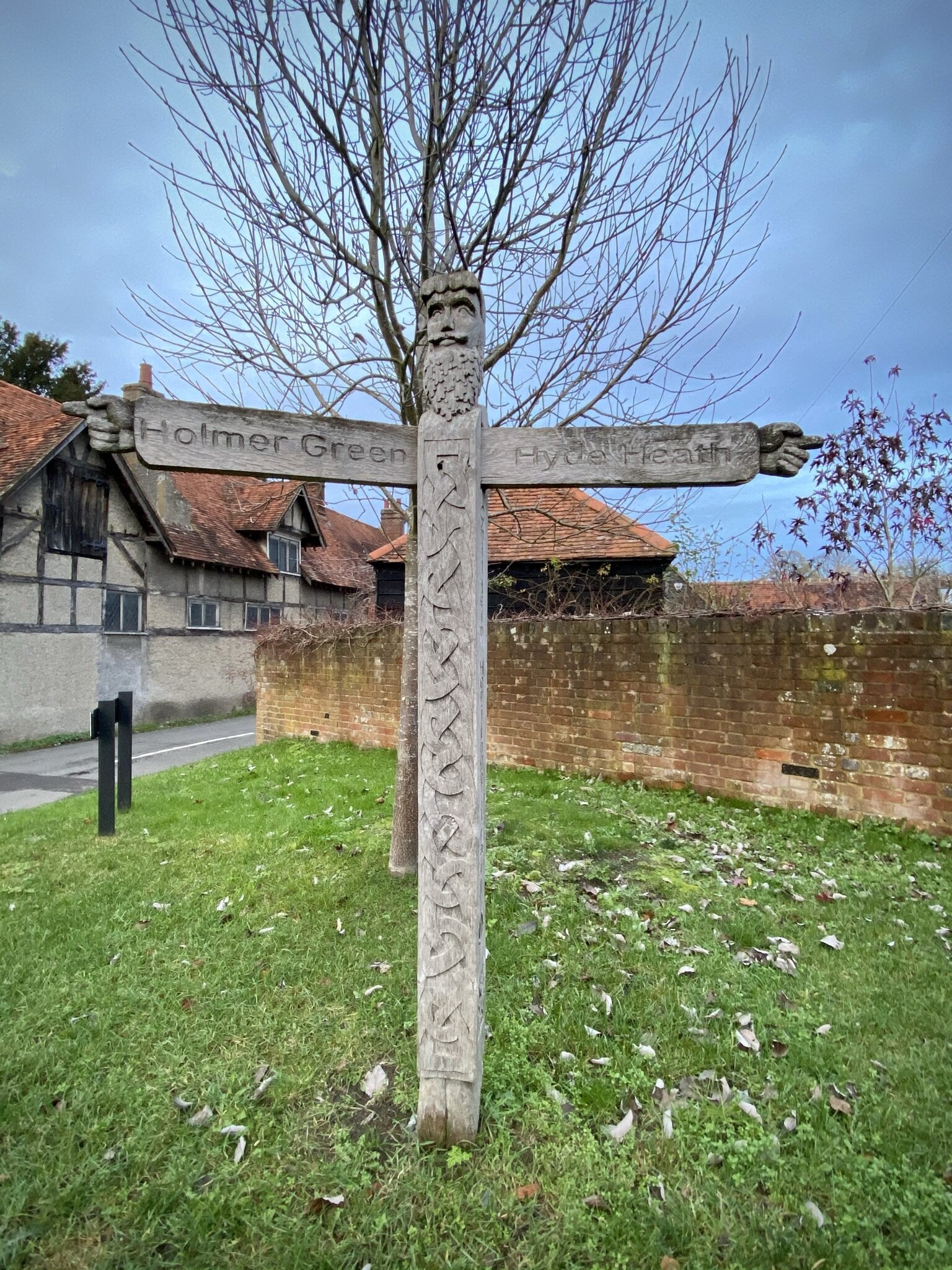
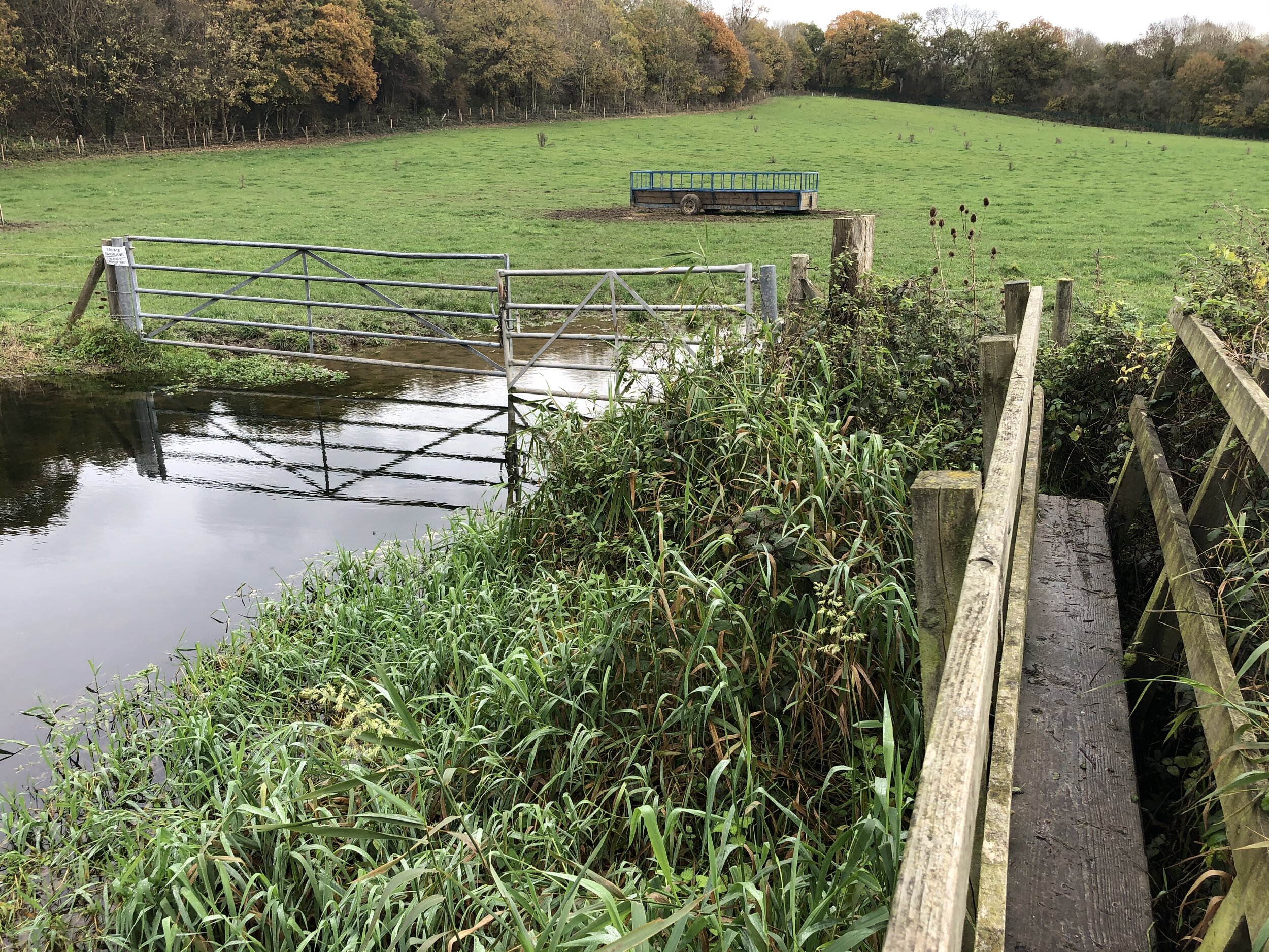
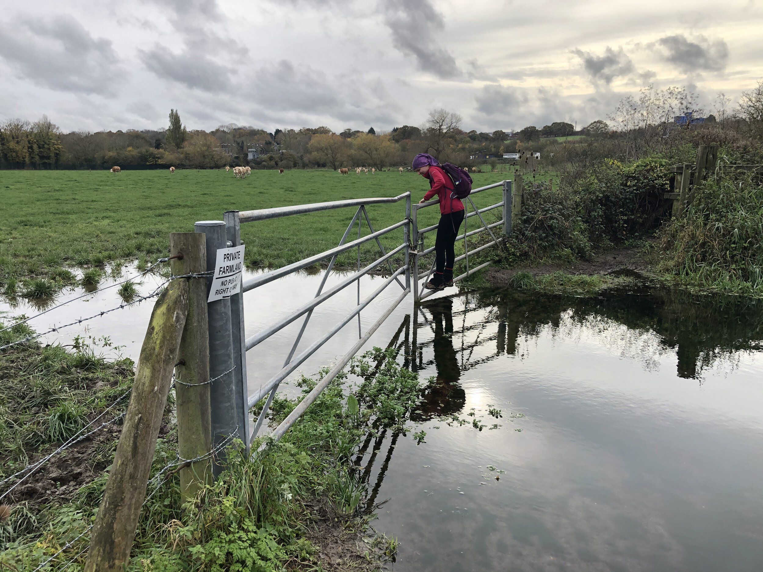
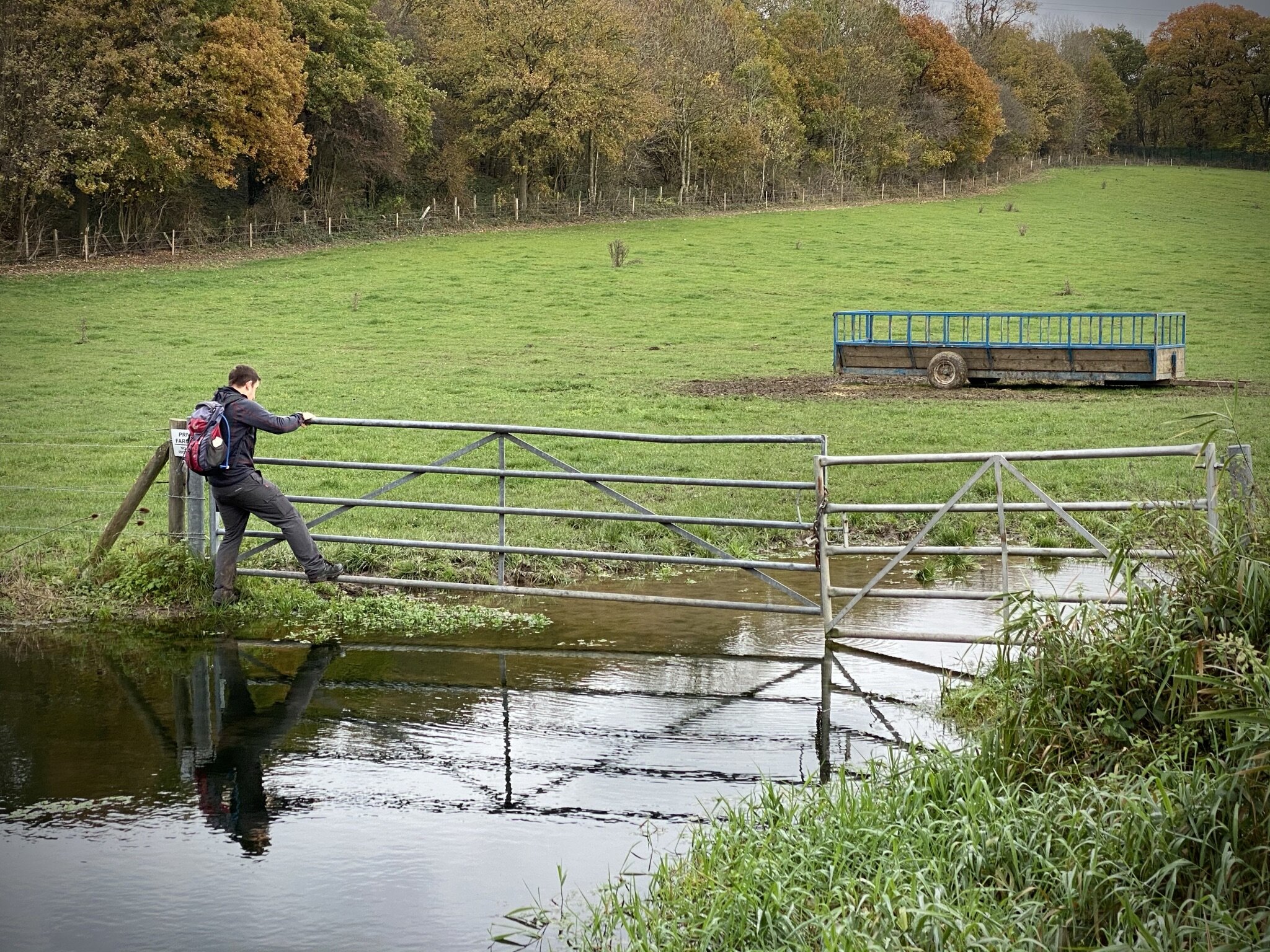
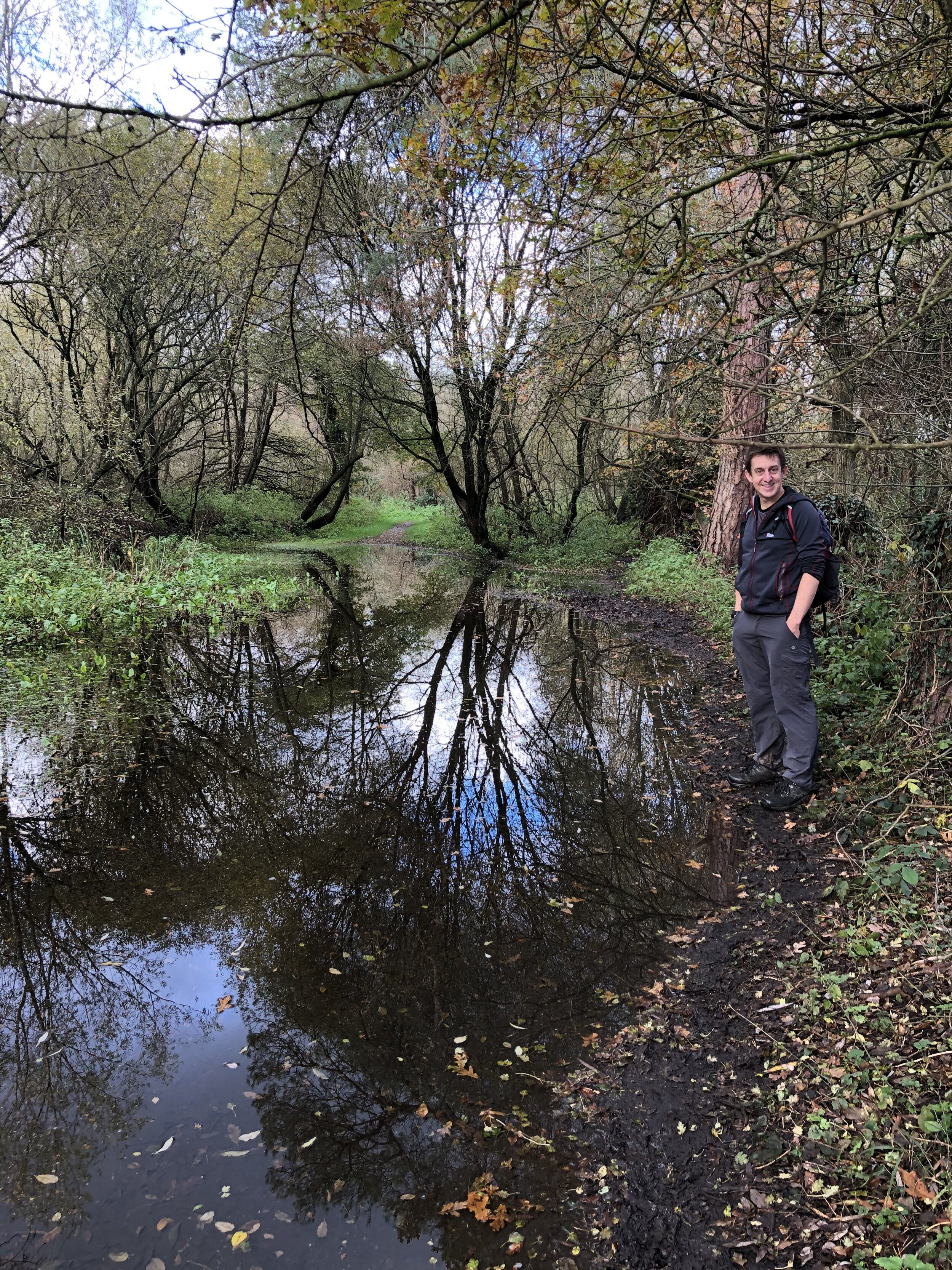
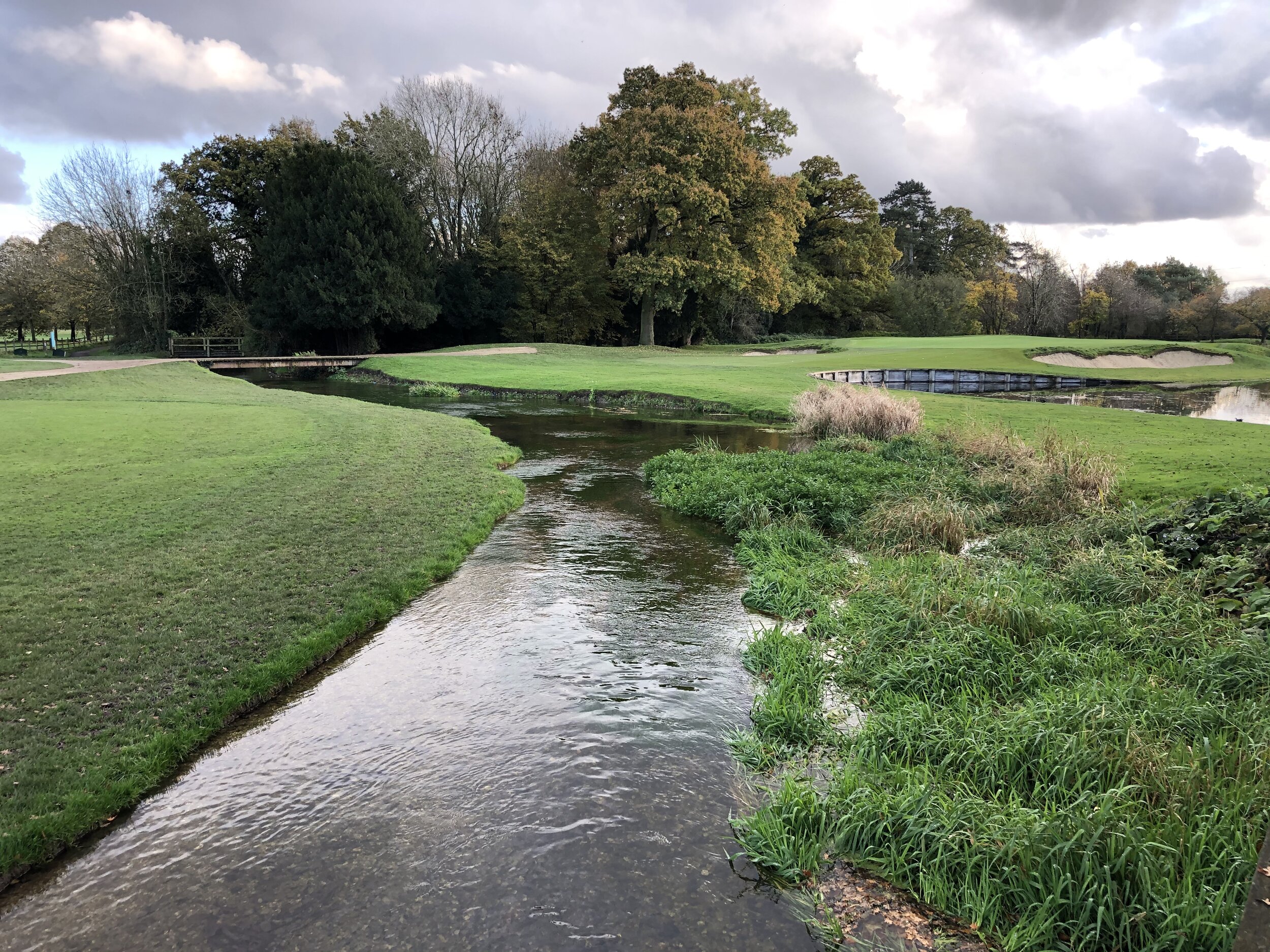
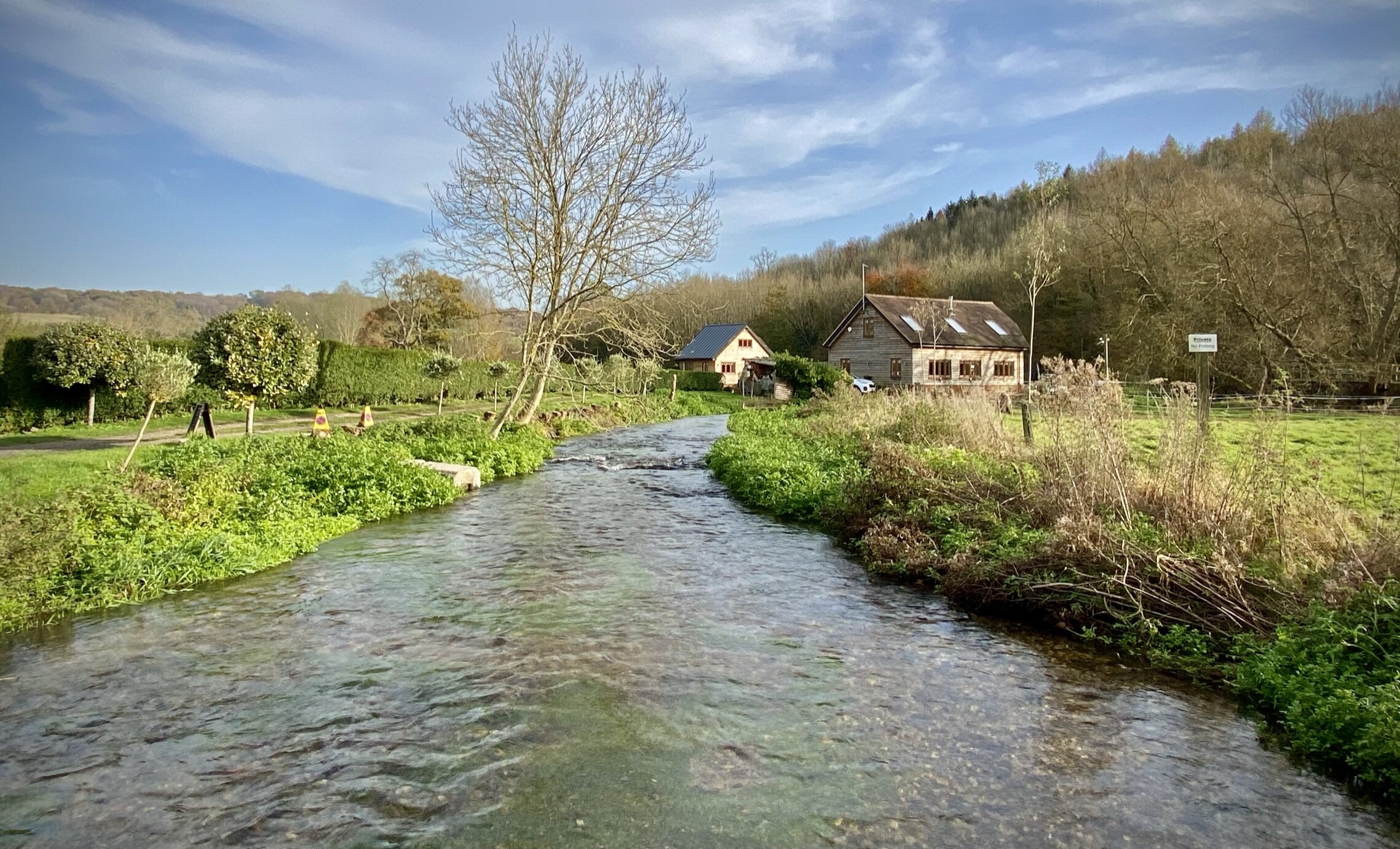
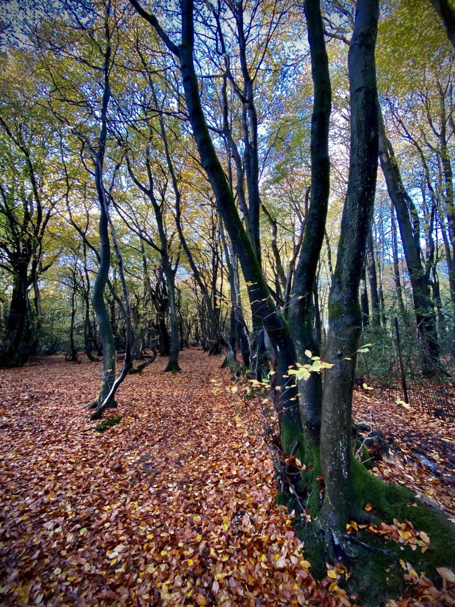
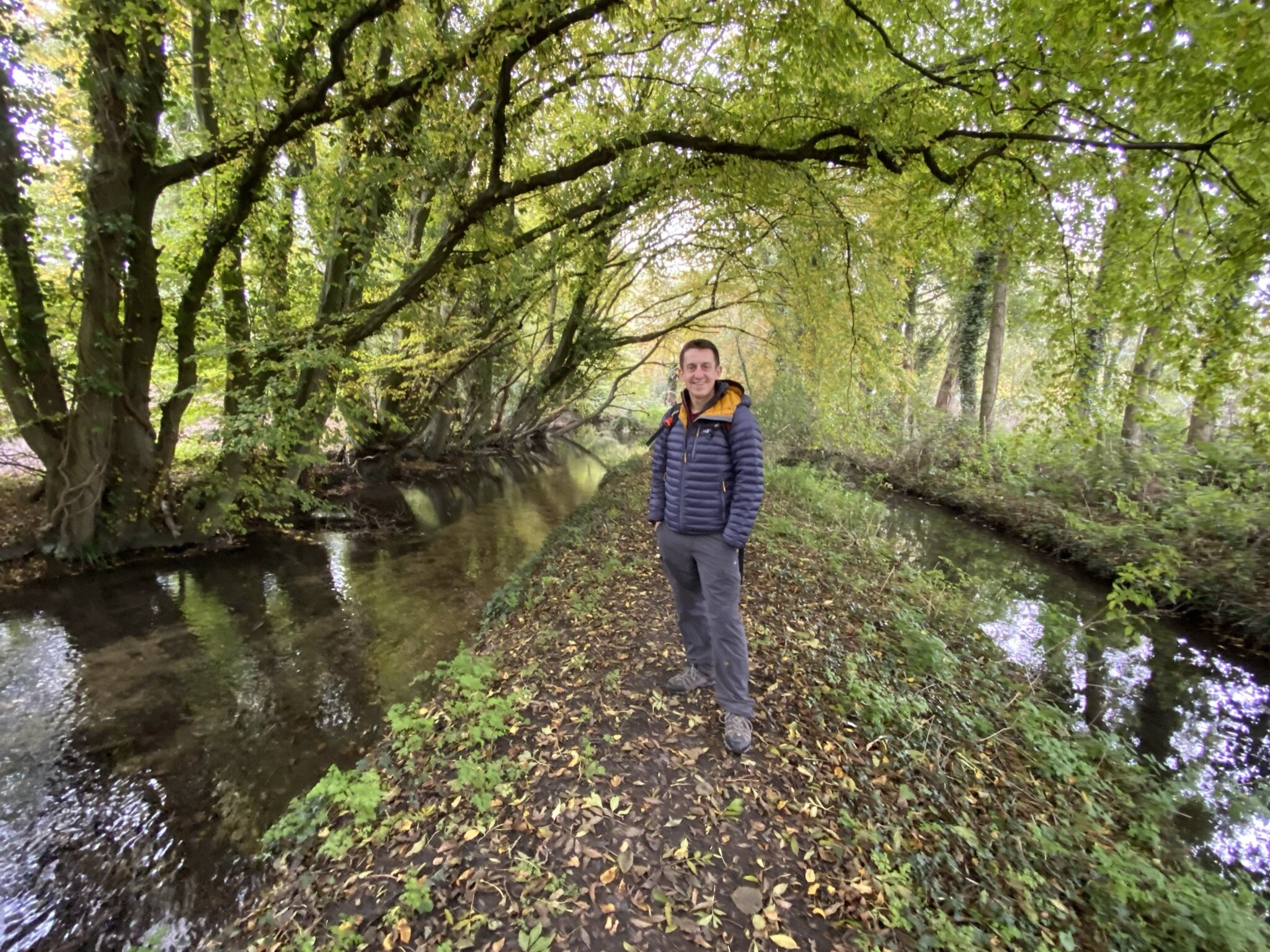
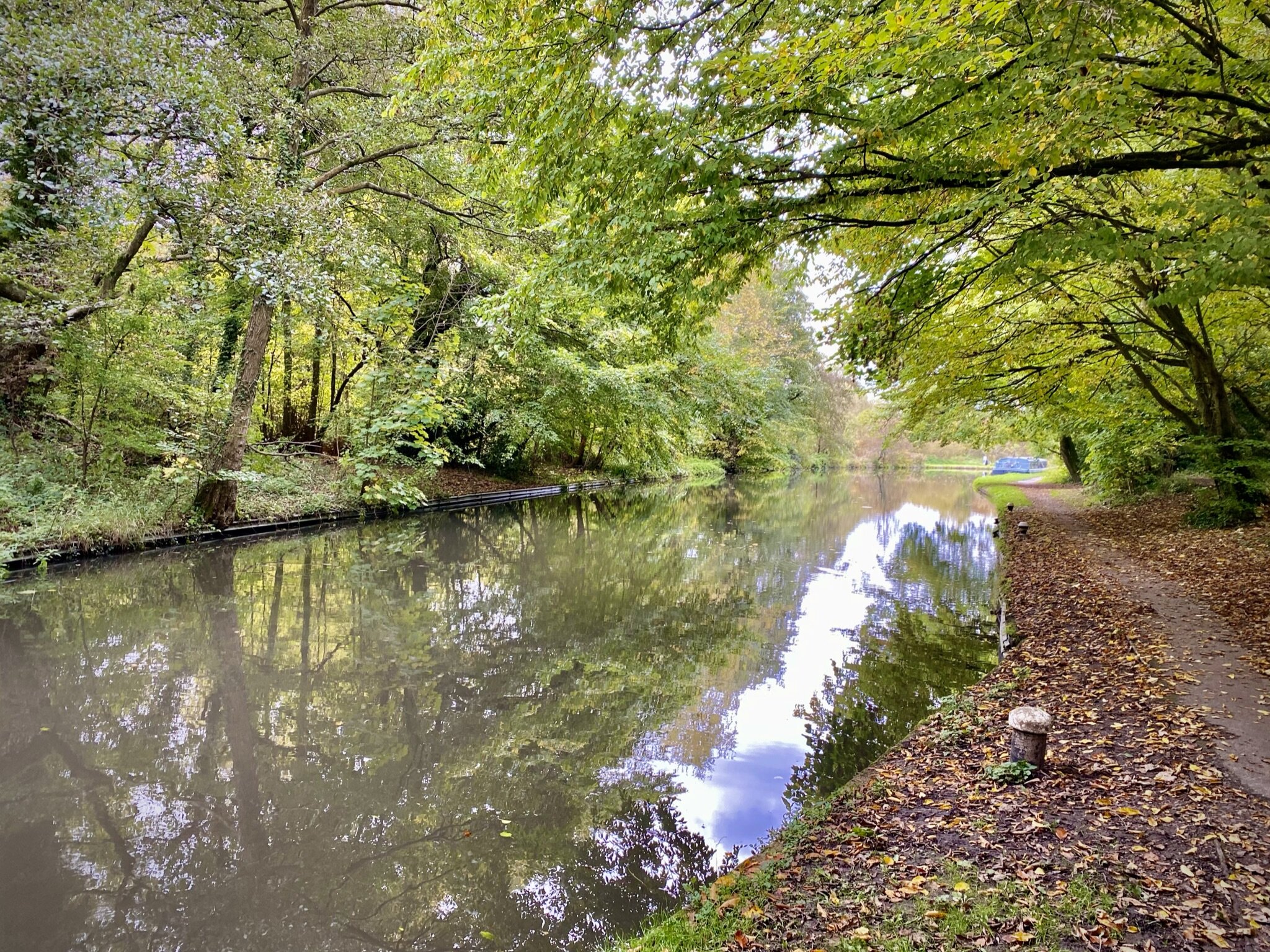
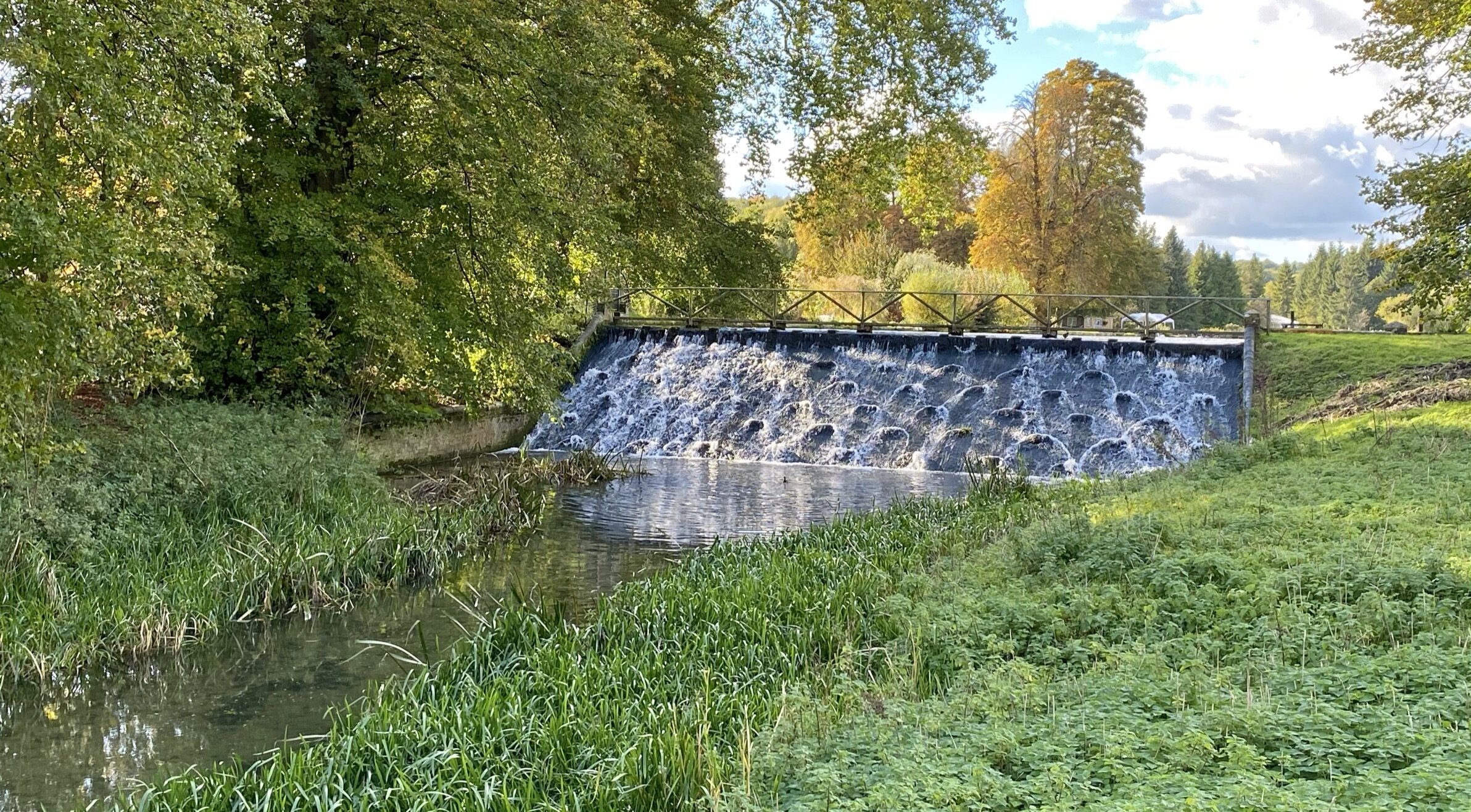
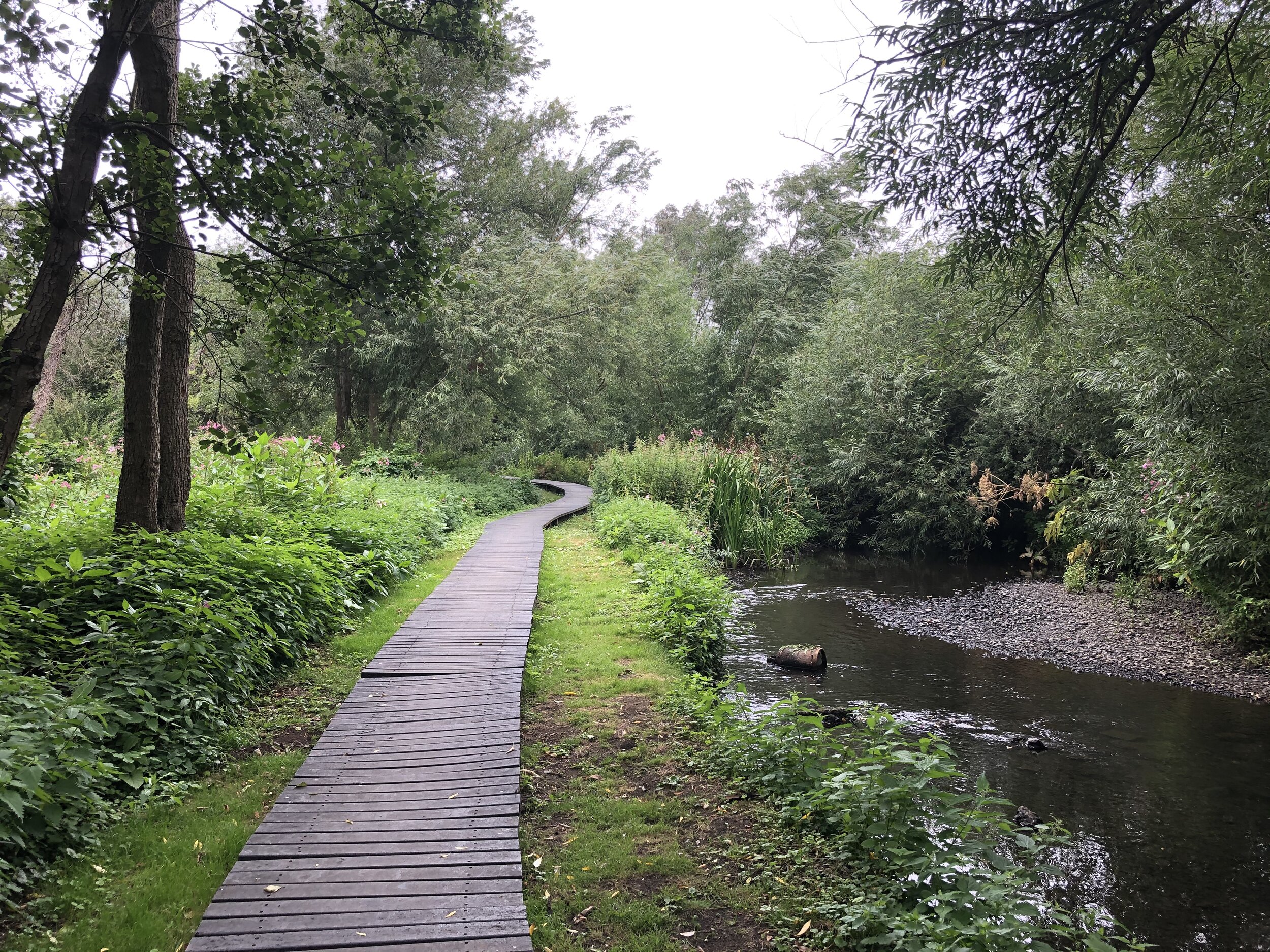
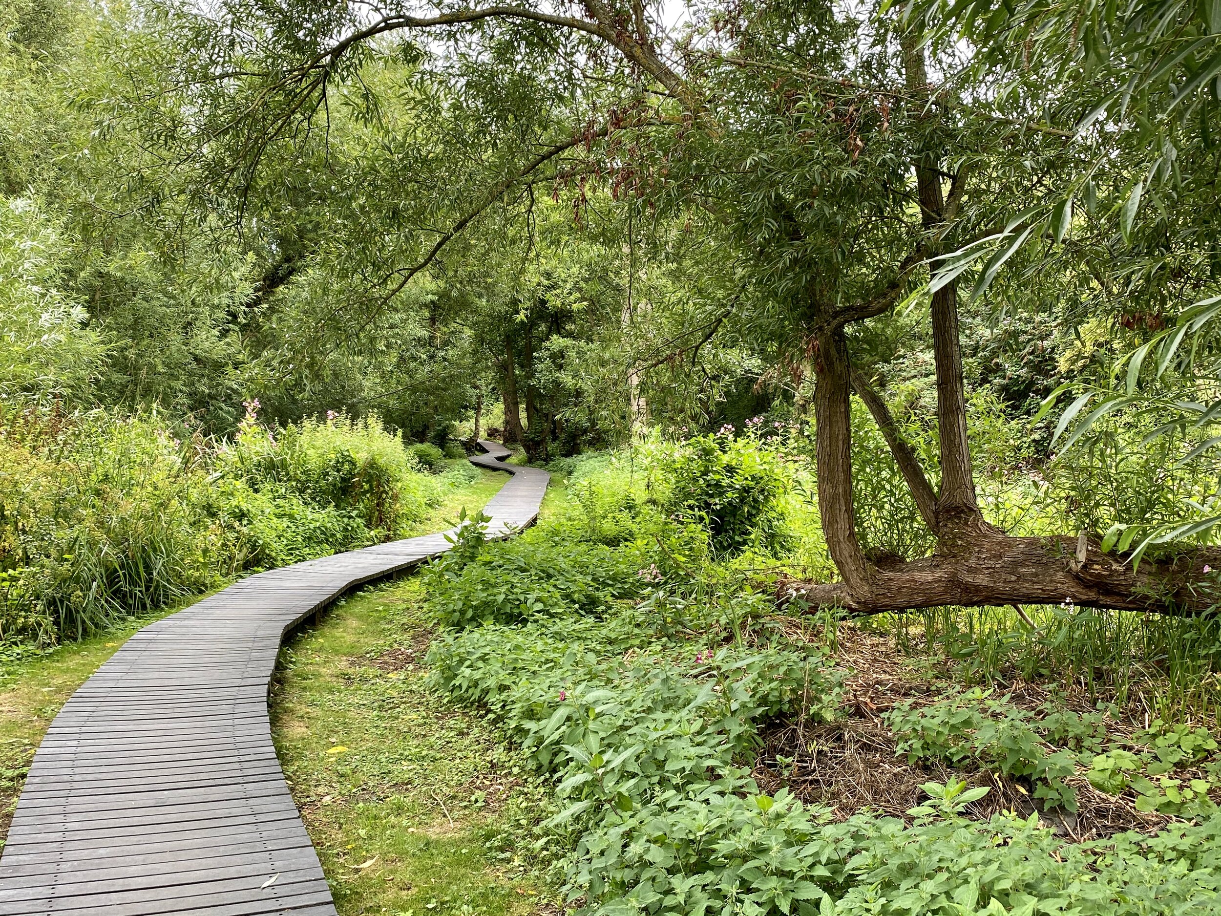
After crossing over the River Chess take a left to continue following the Heritage Trail in a westerly direction. You’ll now be also following the Chess Valley Walk. Shortly after crossing over Stony Lane take a left onto a farm track, leaving the Heritage Trail, to descend back down to the Chess. Cross the Chess, continuing on the path to Latimer then a steep climb through woods to reach Chenies Avenue. Follow Chenies Avenue south to Bedford Avenue. Take a left to return to the start.