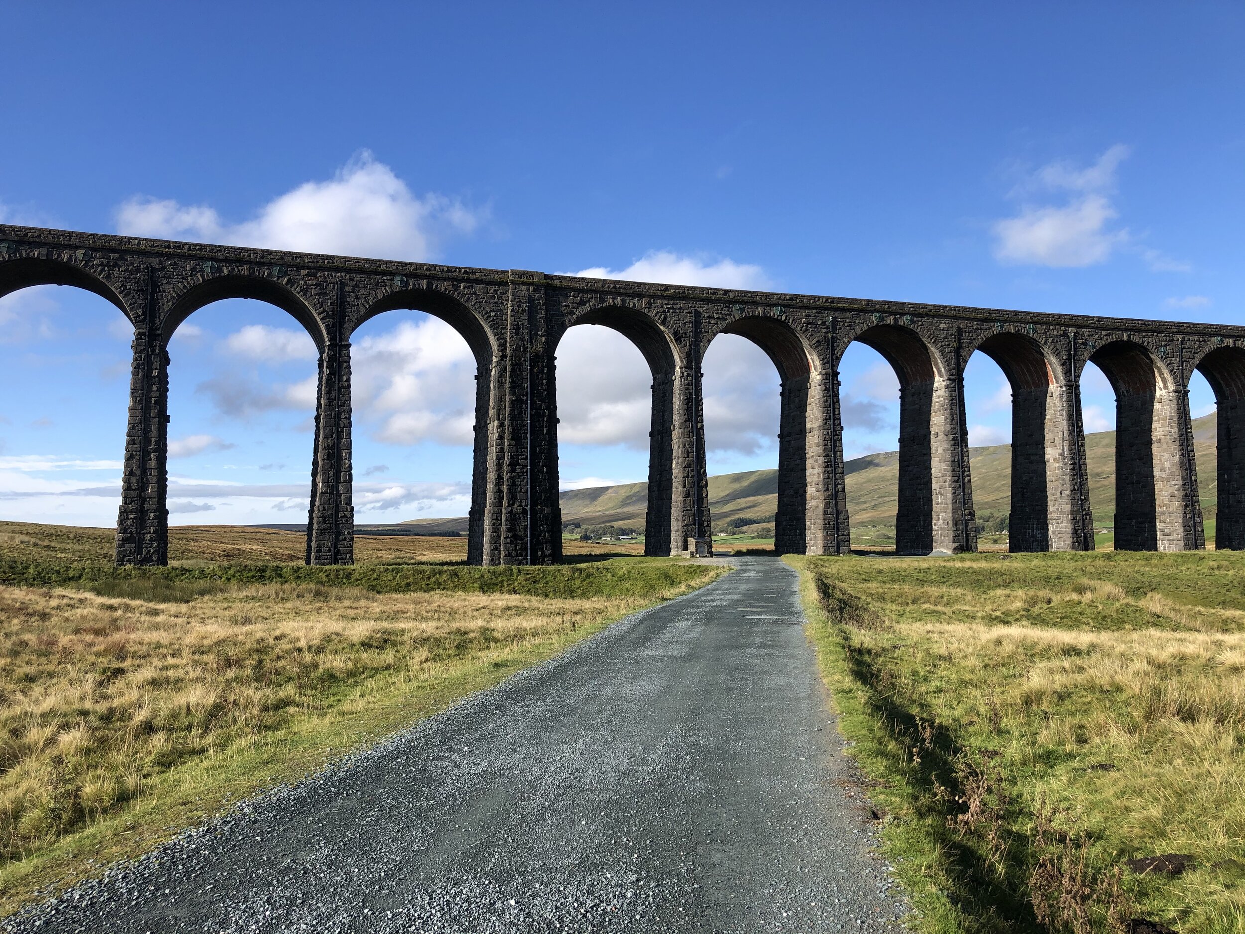
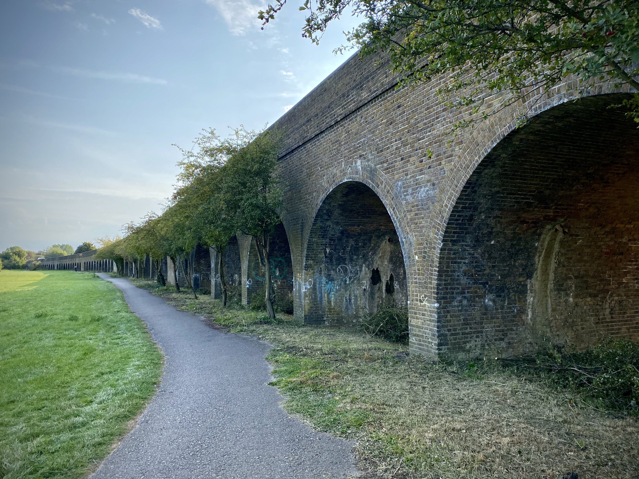
Ribblehead Viaduct with Whernside on the right
Significance: Highest peak in North Yorkshire (Present-Day CT), the historic West Riding of Yorkshire, Yorkshire Dales National Park
Member of: Marilyn, Hewitt, Hardy, Nuttall
Parent Peak: Cross Fell. NHN = Harter Fell
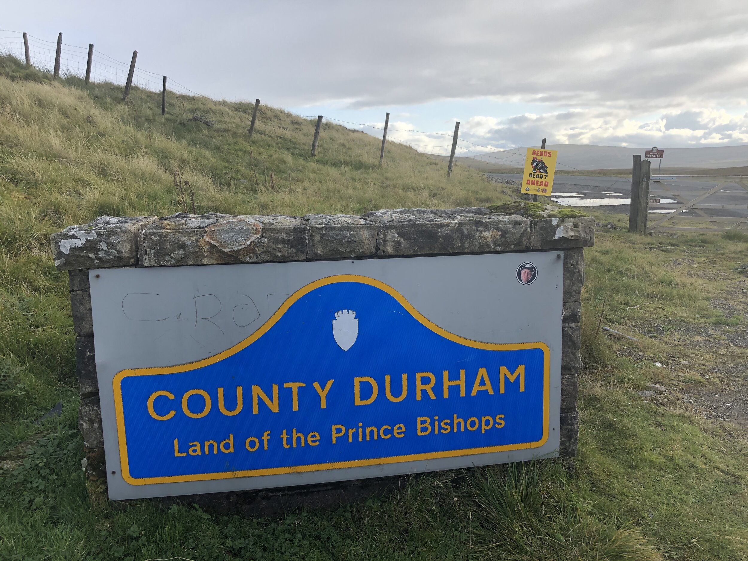
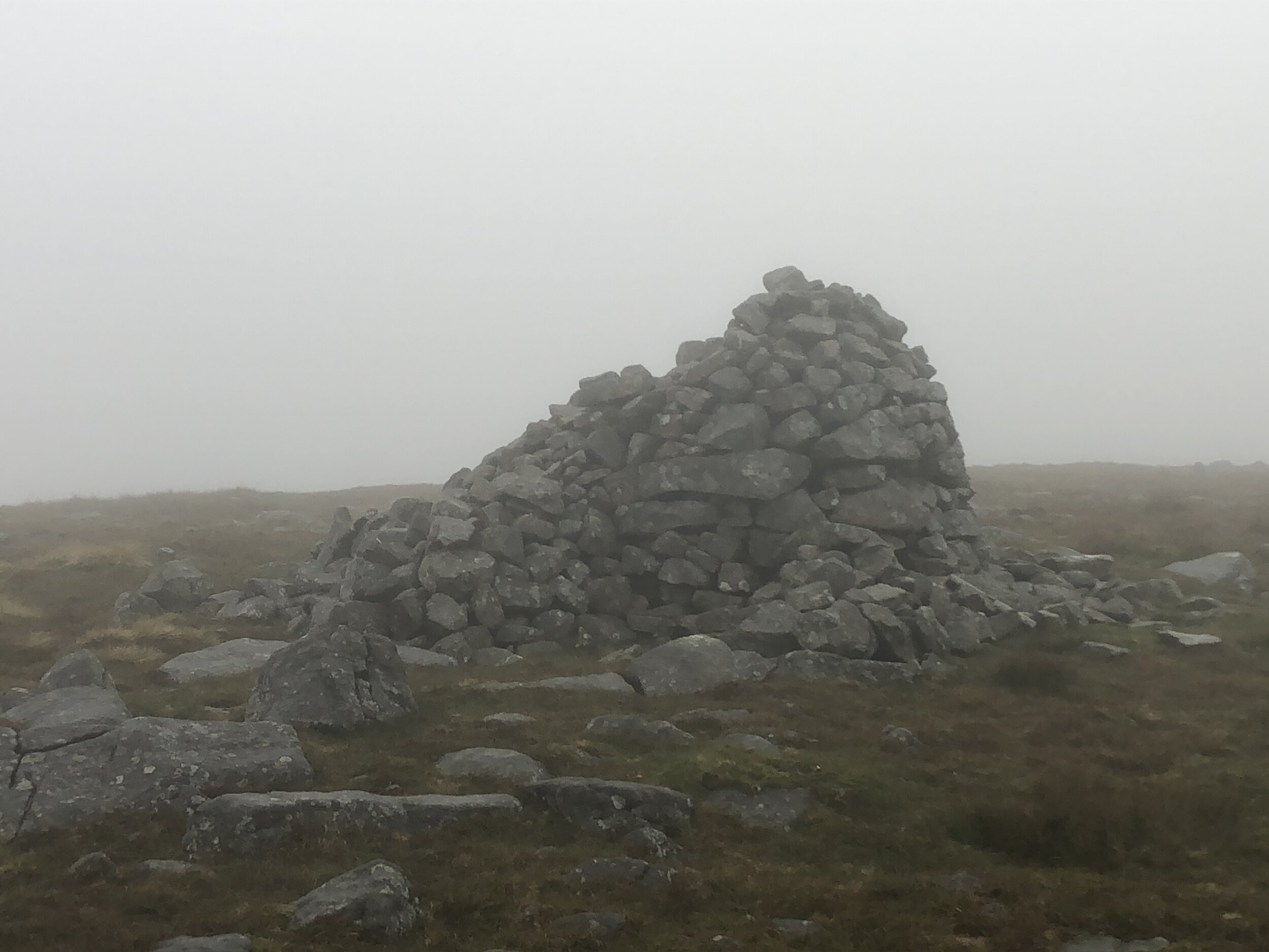
Historic County: Yorkshire (of which Mickle Fell is the County Top)
Elevation: 736m
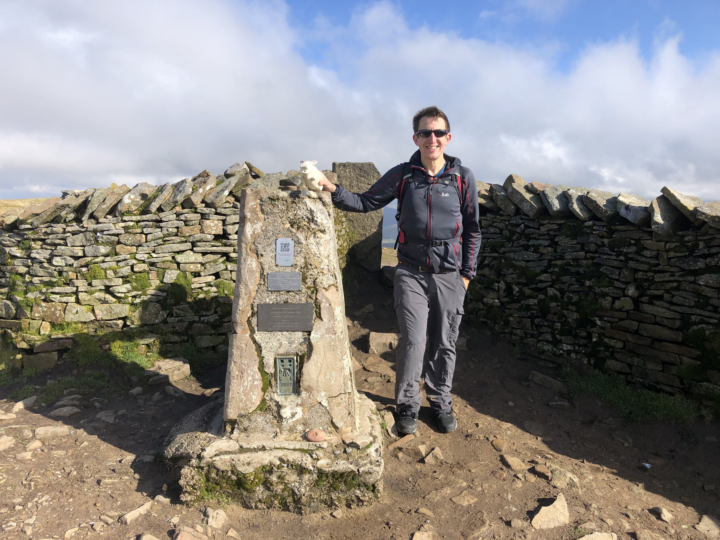
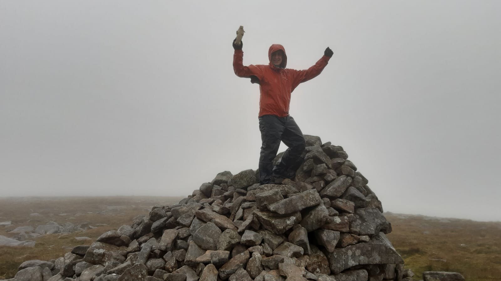
Date climbed: October 4th 2020
Coordinates: 54°13′40″N 2°24′12″W
Route Start / End: Ribblehead Viaduct Car Park, Blea Moor Road, Carnforth, LA6 3AS
Route Distance: 12.7 km (7.9 miles)
Route Elevation Change: +/- 433m
Subsidiary tops on route: none
GPX File: get via Buy Me a Coffee
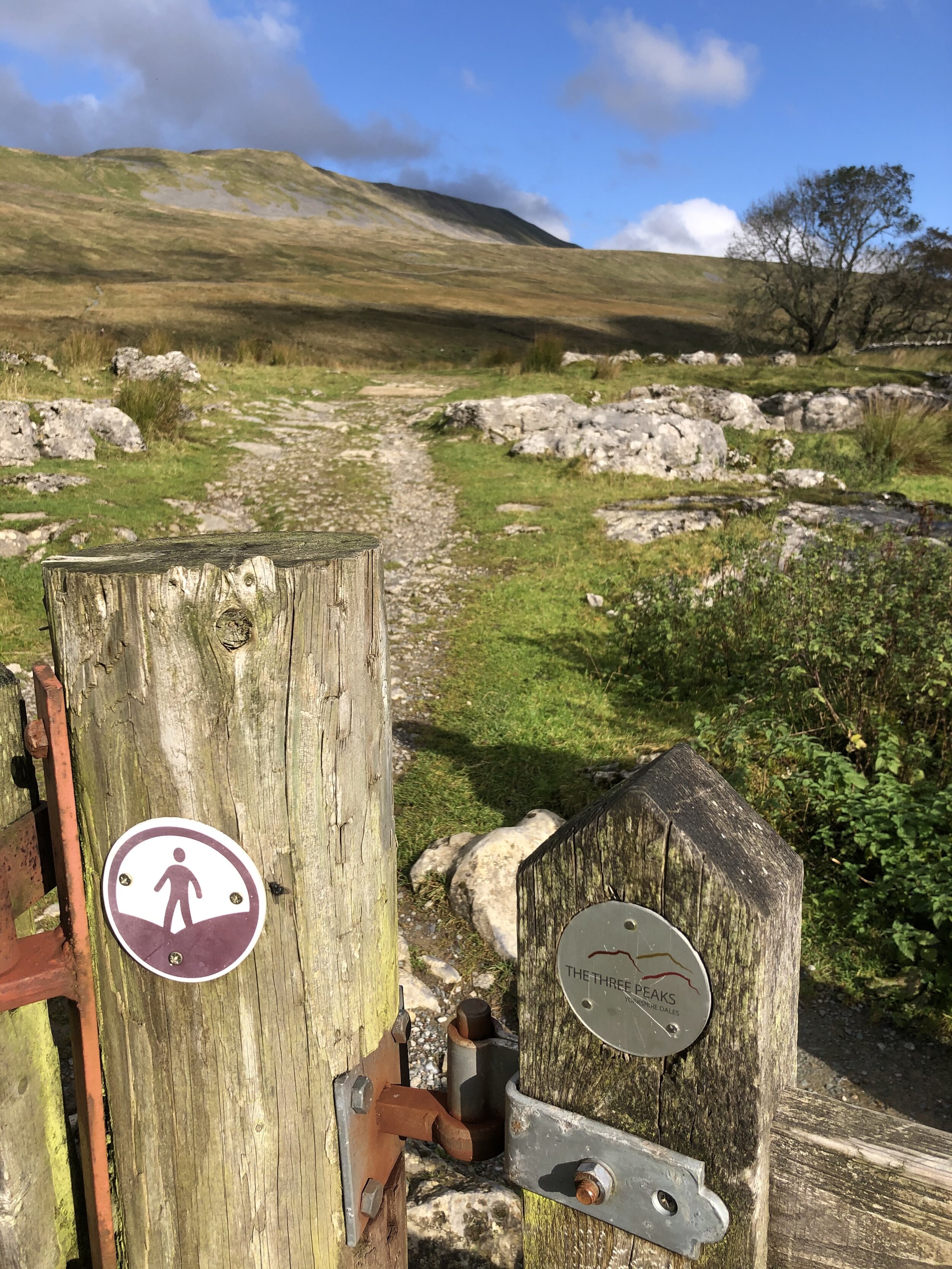
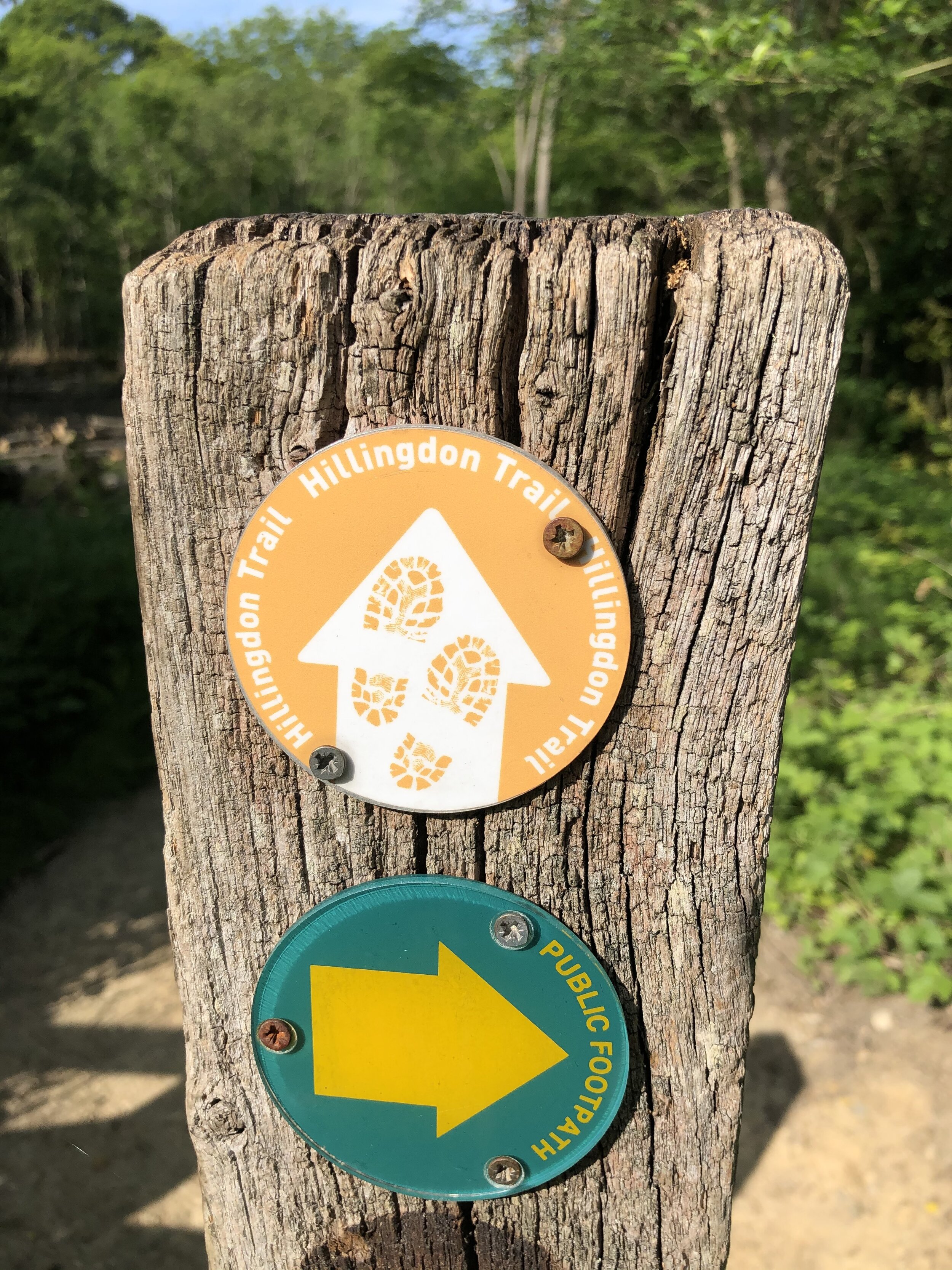
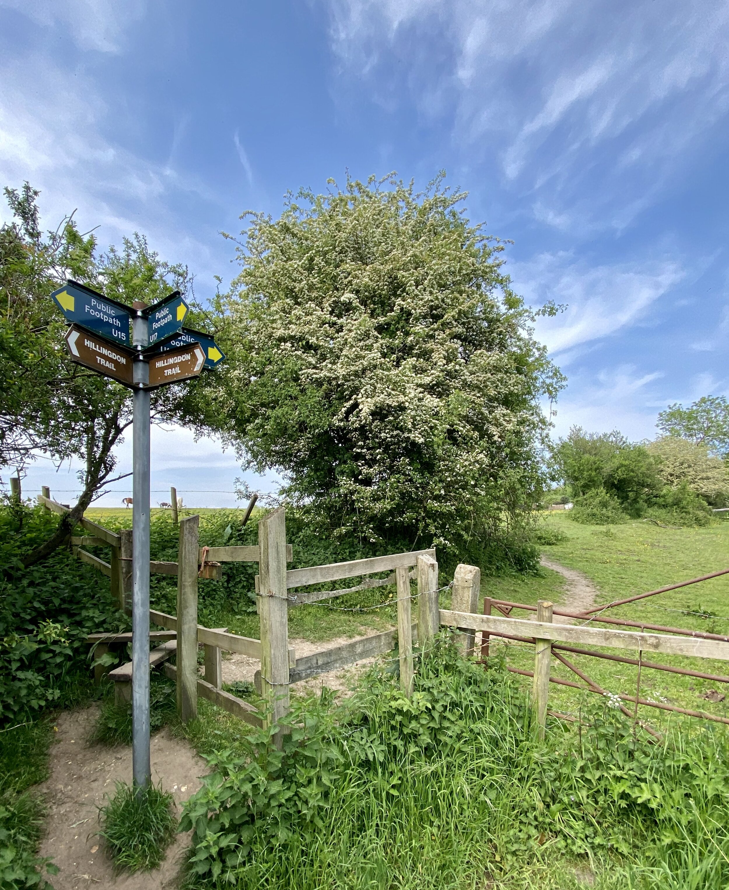
Other routes touched (walk): Dales High Way, Three Peaks Walk
Other routes touched (cycle): none
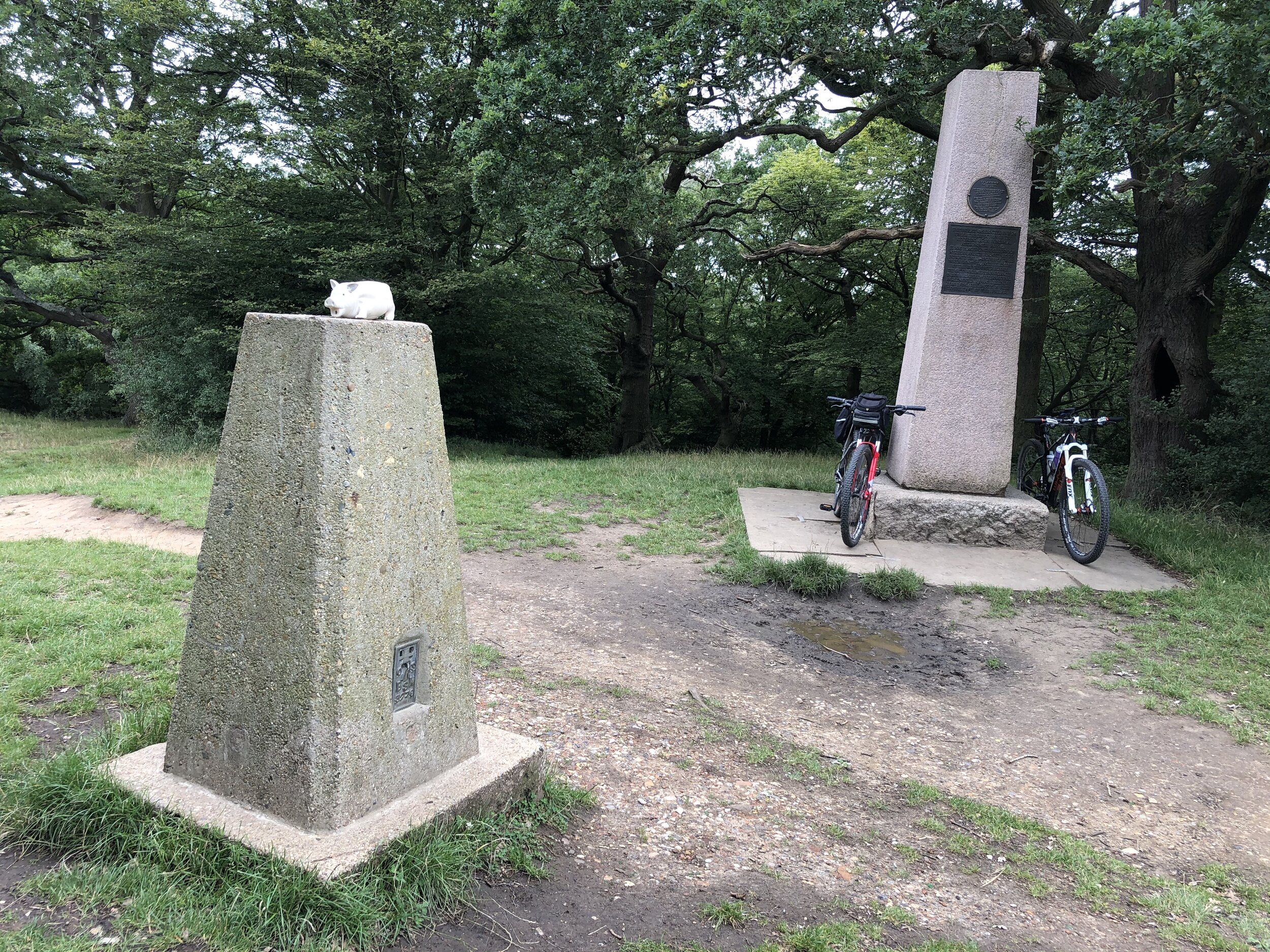
OS Trig Pillar: TP0702 - Little Whernside
Map: OS Explorer Map OL2 Yorkshire Dales South & Western
Guidebook: The UK's County Tops (Jonny Muir), Walking the County High Points of England (David Bathurst)
Links: Wikipedia (North Yorkshire), Wikipedia (Whernside), Peakbagger, Hillbagging
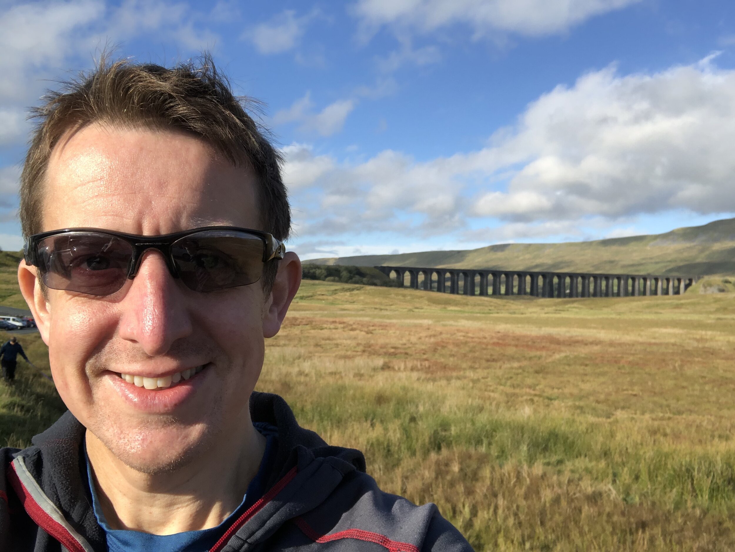
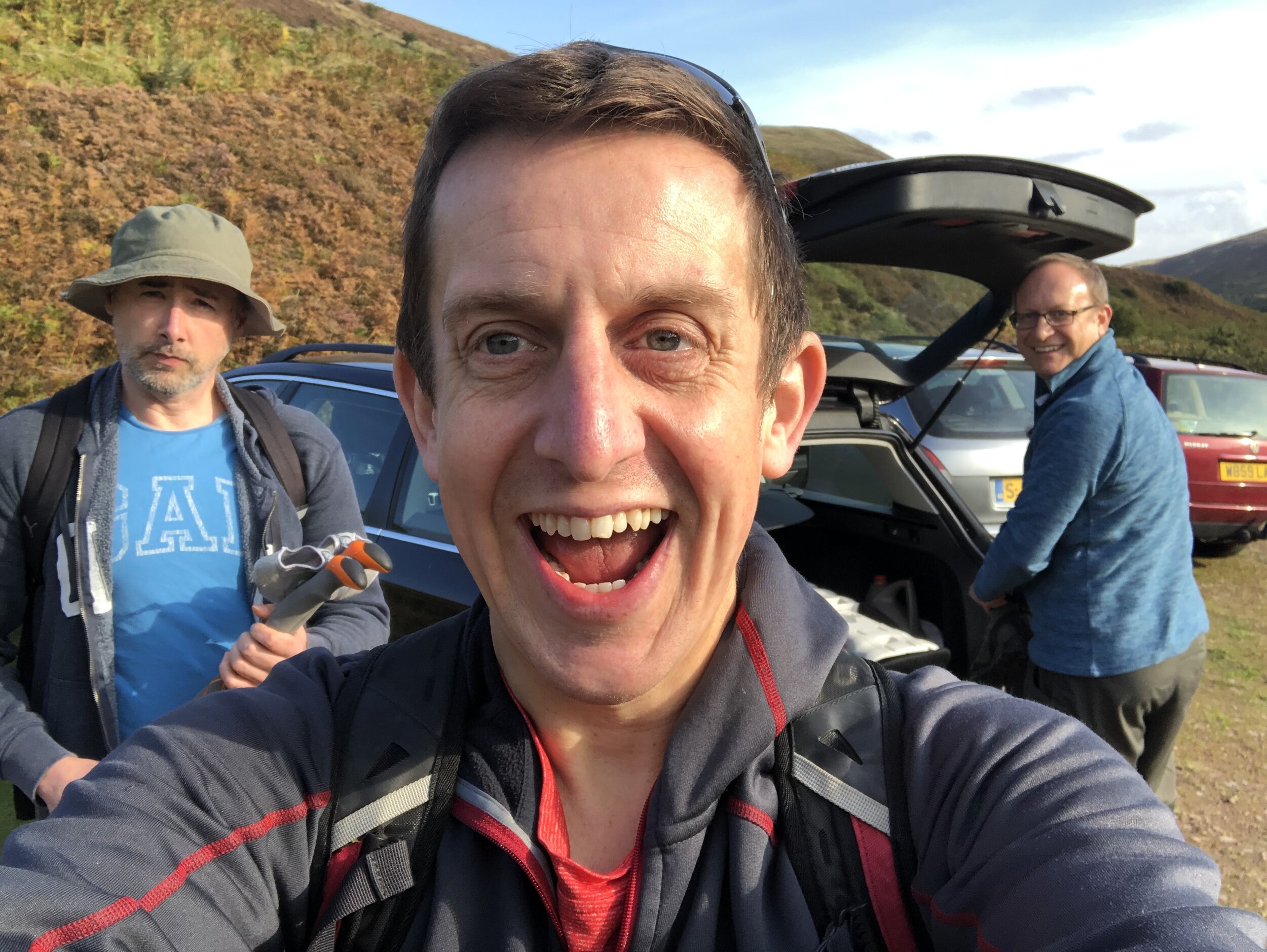
Given that Whernside is both a Present-Day County Top and features in the Yorkshire Three Peaks Challenge it was surprising that I hadn’t already ticked it off. Sometime over the last couple of years I’d lost interest in the Three Peaks and decided that I’d rather tick them off individually. Whernside’s time came this year as it was an obvious peak to bag to break up the long drive home from Mickle Fell.
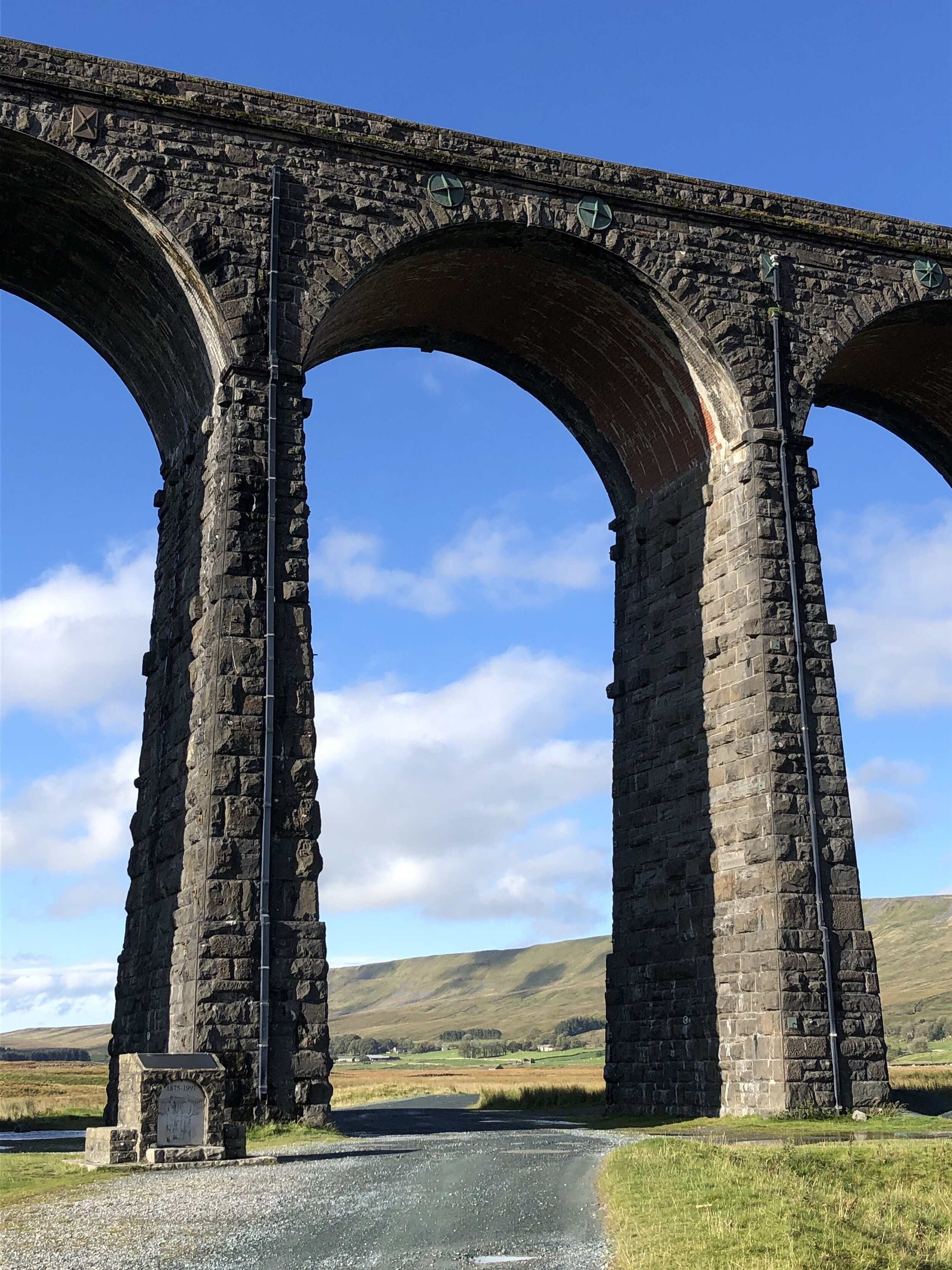
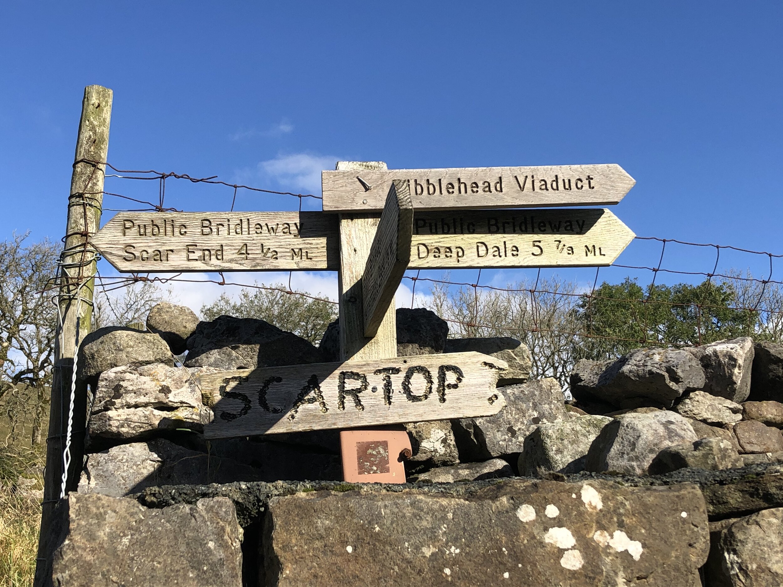
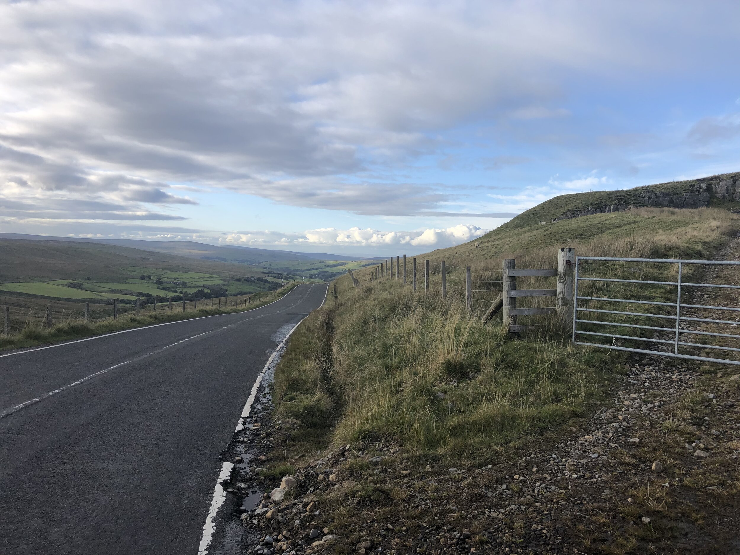
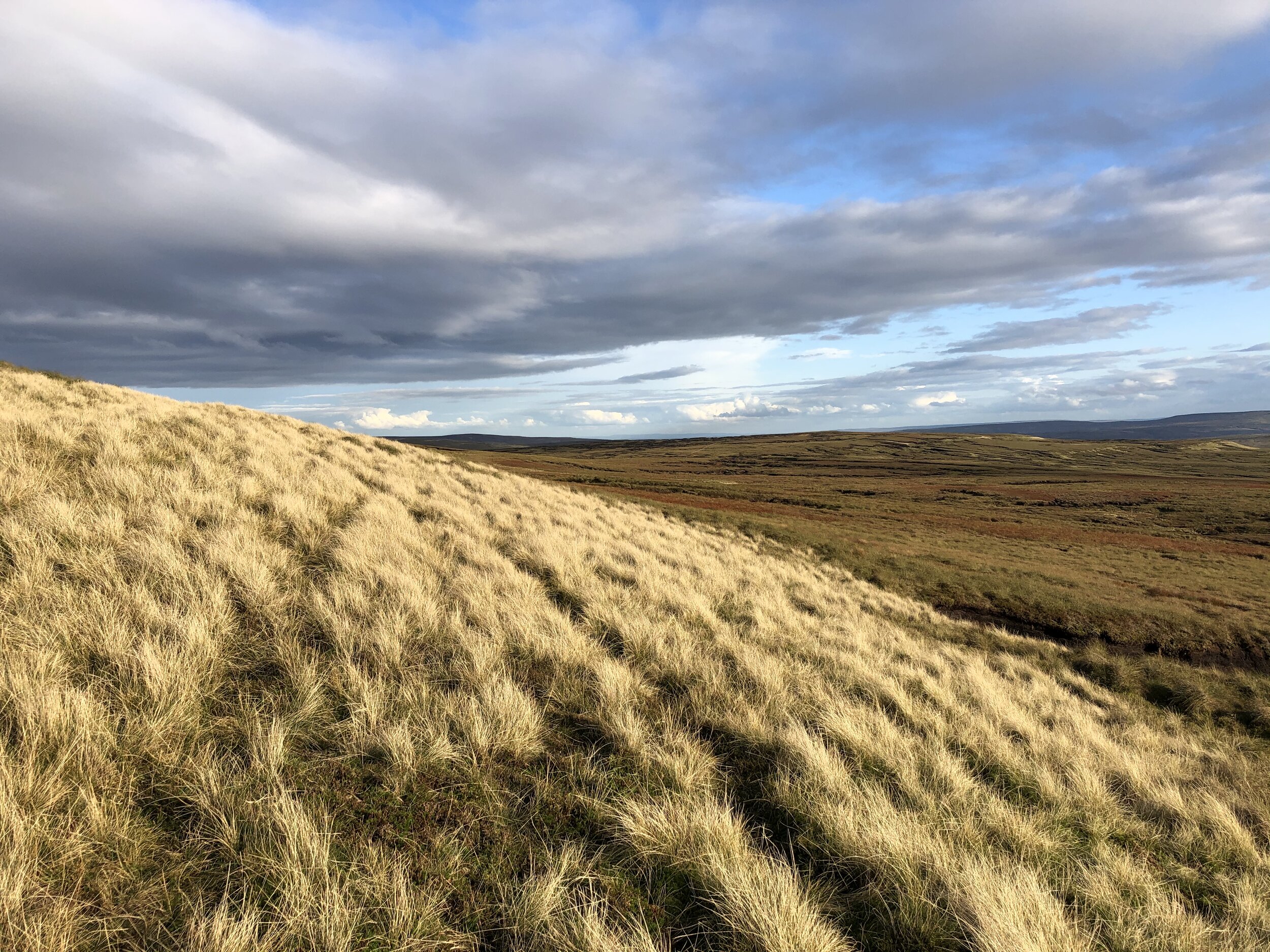
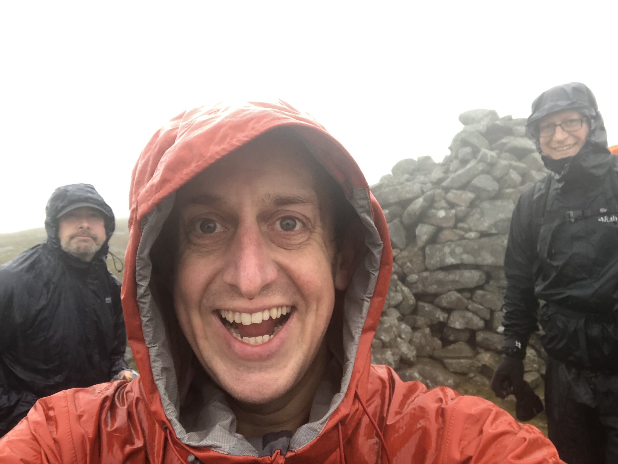
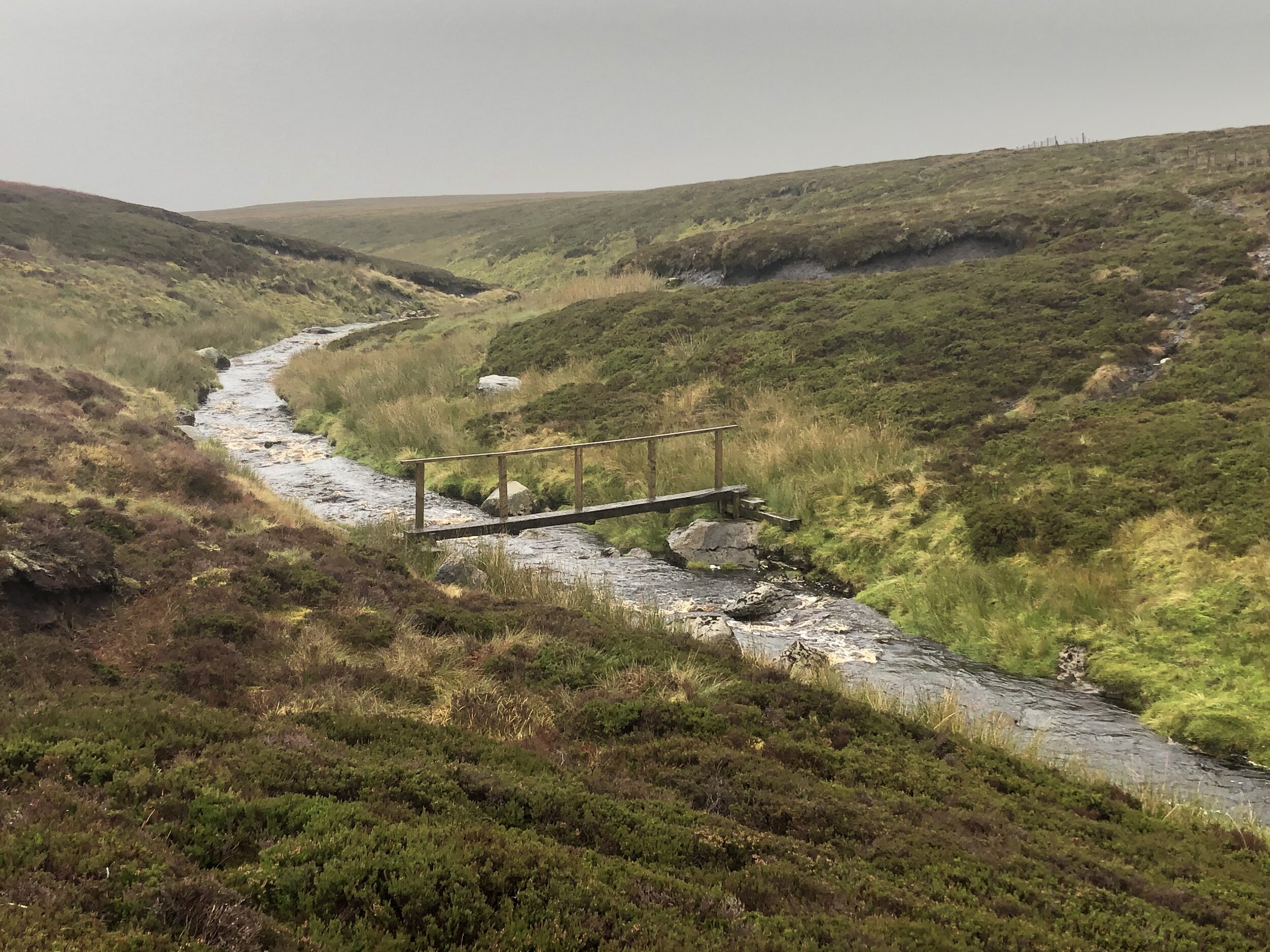
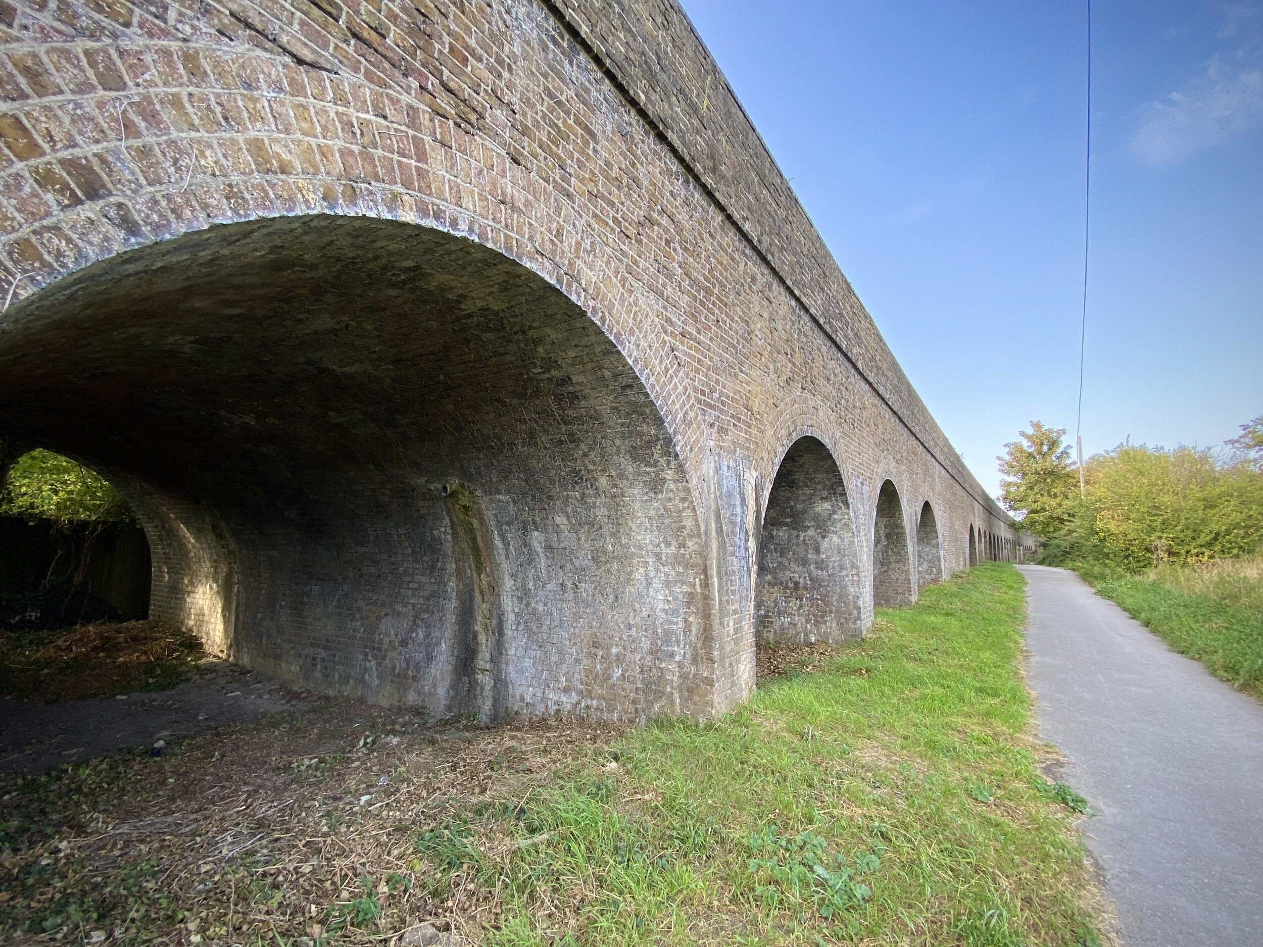
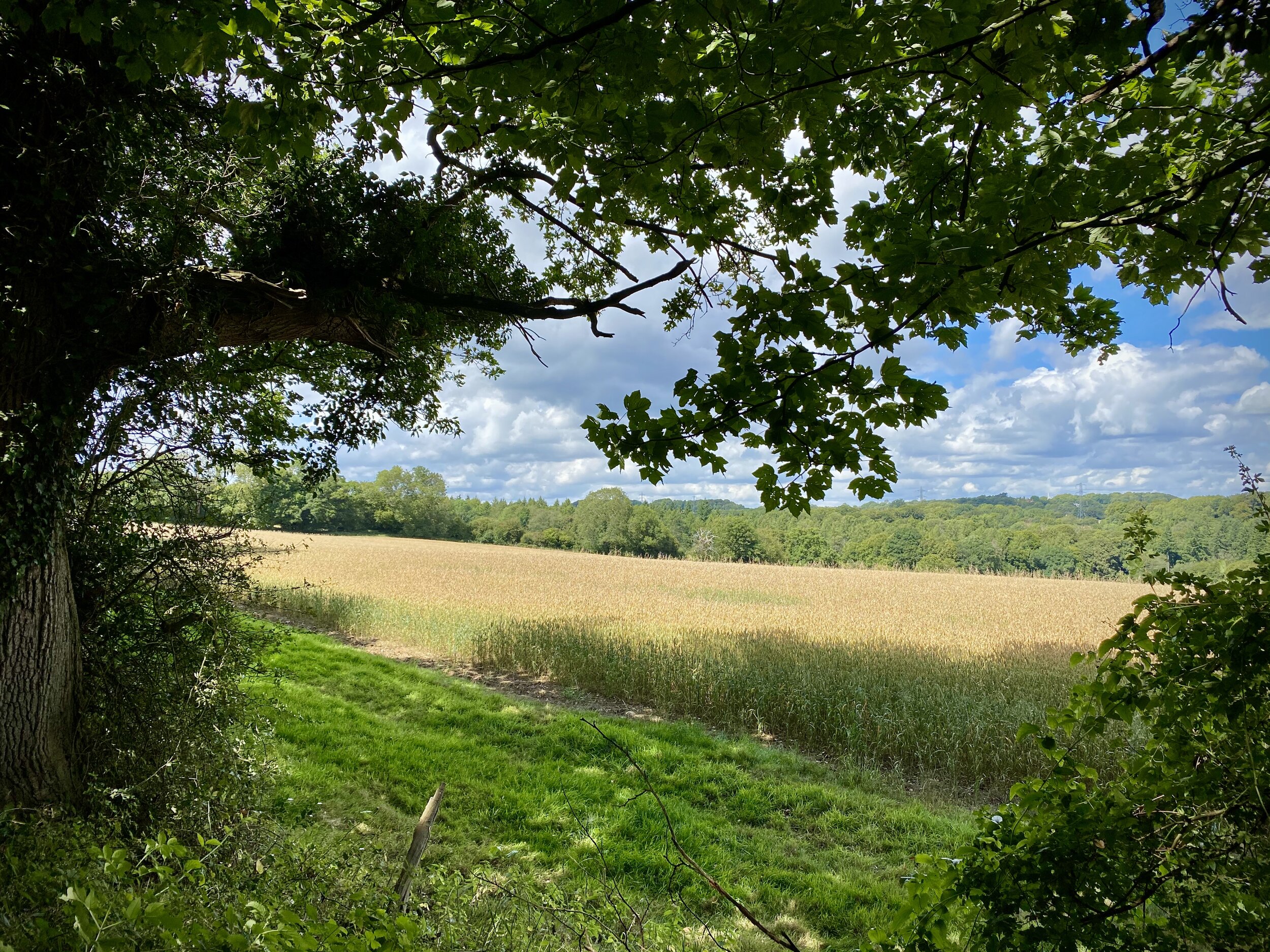
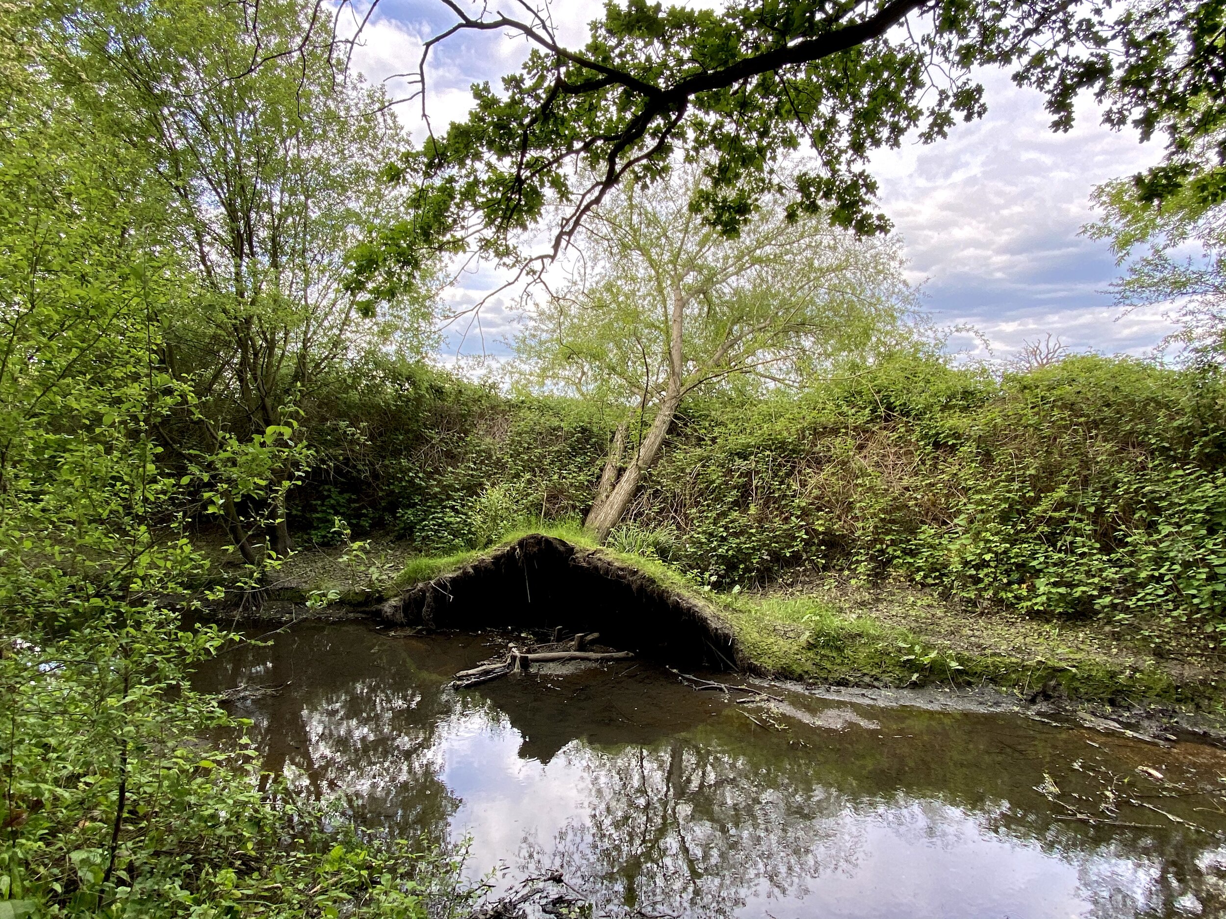
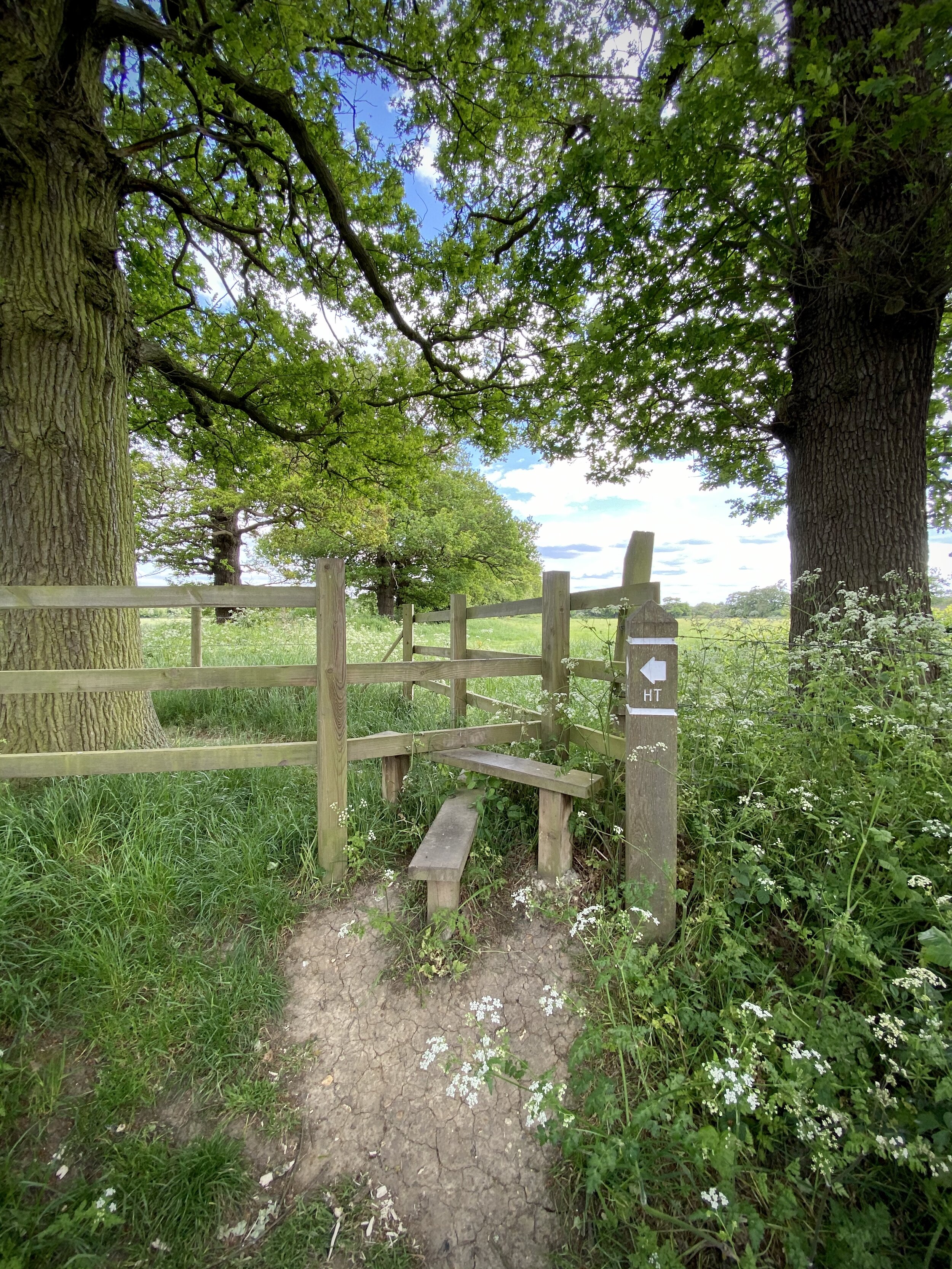
Unlike the drenching that we got on Mickle Fell the previous day, we had perfect Autumn conditions for Whernside. It was dry, sunny, chilly (but not too much) and visibility was great. The walk even starts with one of its main highlights: an approach to the magnificent Ribblehead Viaduct. We had originally planned to keep to the path on the eastern side of the viaduct then cut through the underpass to join the Dales High Way heading west. When we found ourselves standing right under one of the arches to get a closer look, we decided to continue heading west through the viaduct and take the footpath through the farm to connect to the High Way.
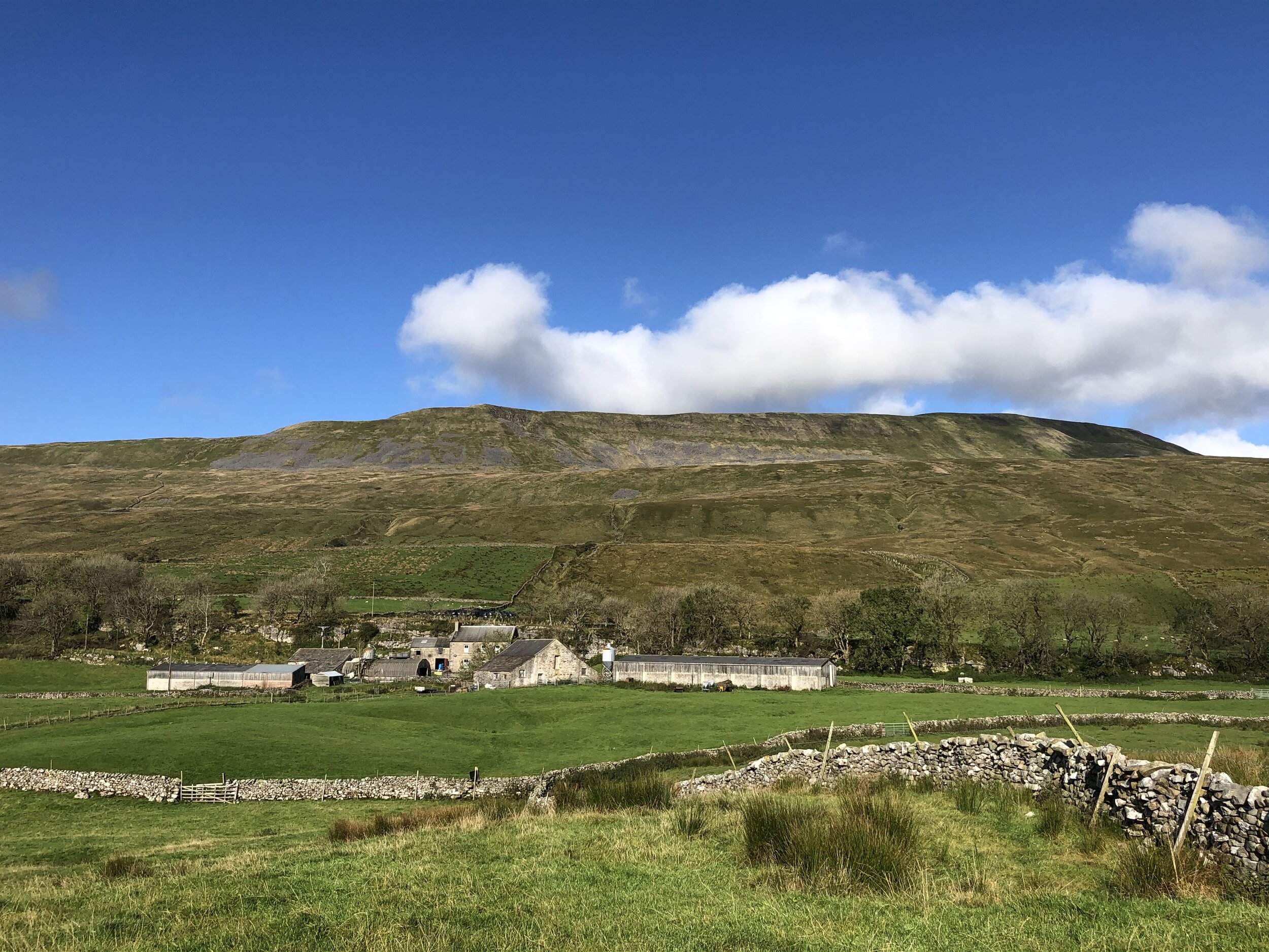
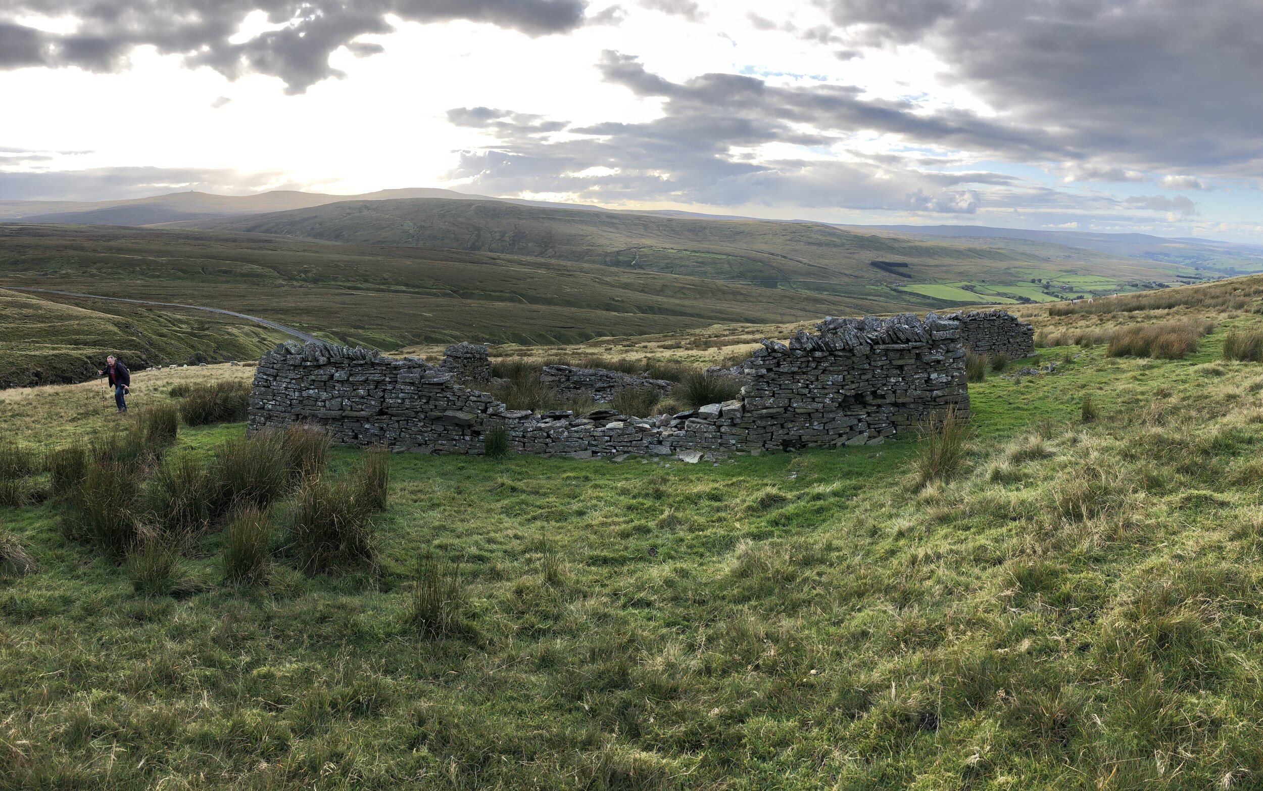
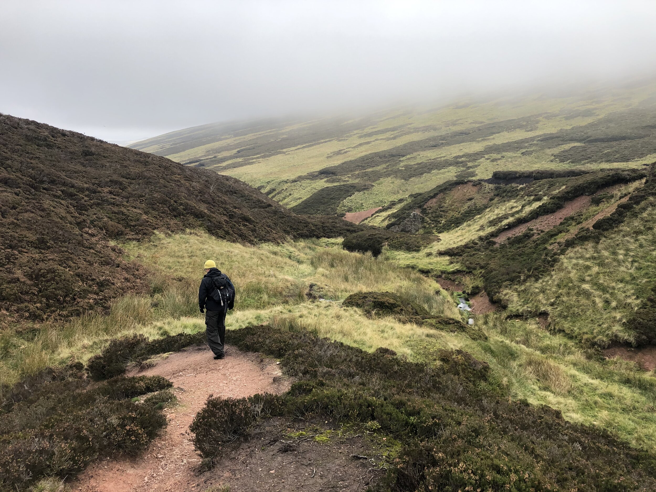
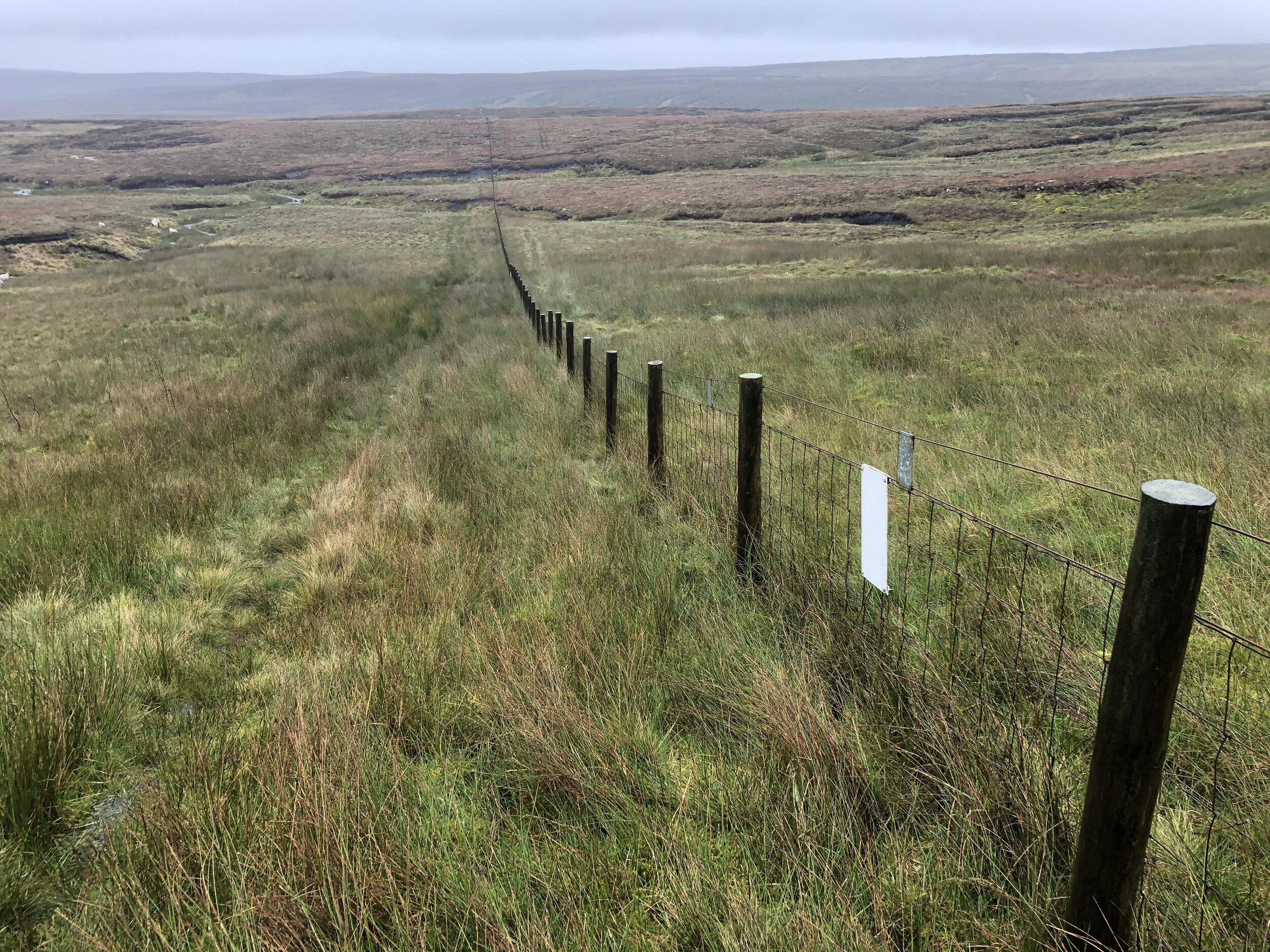
After the farm the route gets steep. The waitress in the pub the night before had warned us that this approach would be tough and slippery. We imagined something like a damp Striding Edge but it turned out not to be so bad at all. The slabs had also dried out completely so there was nothing slippery at all.
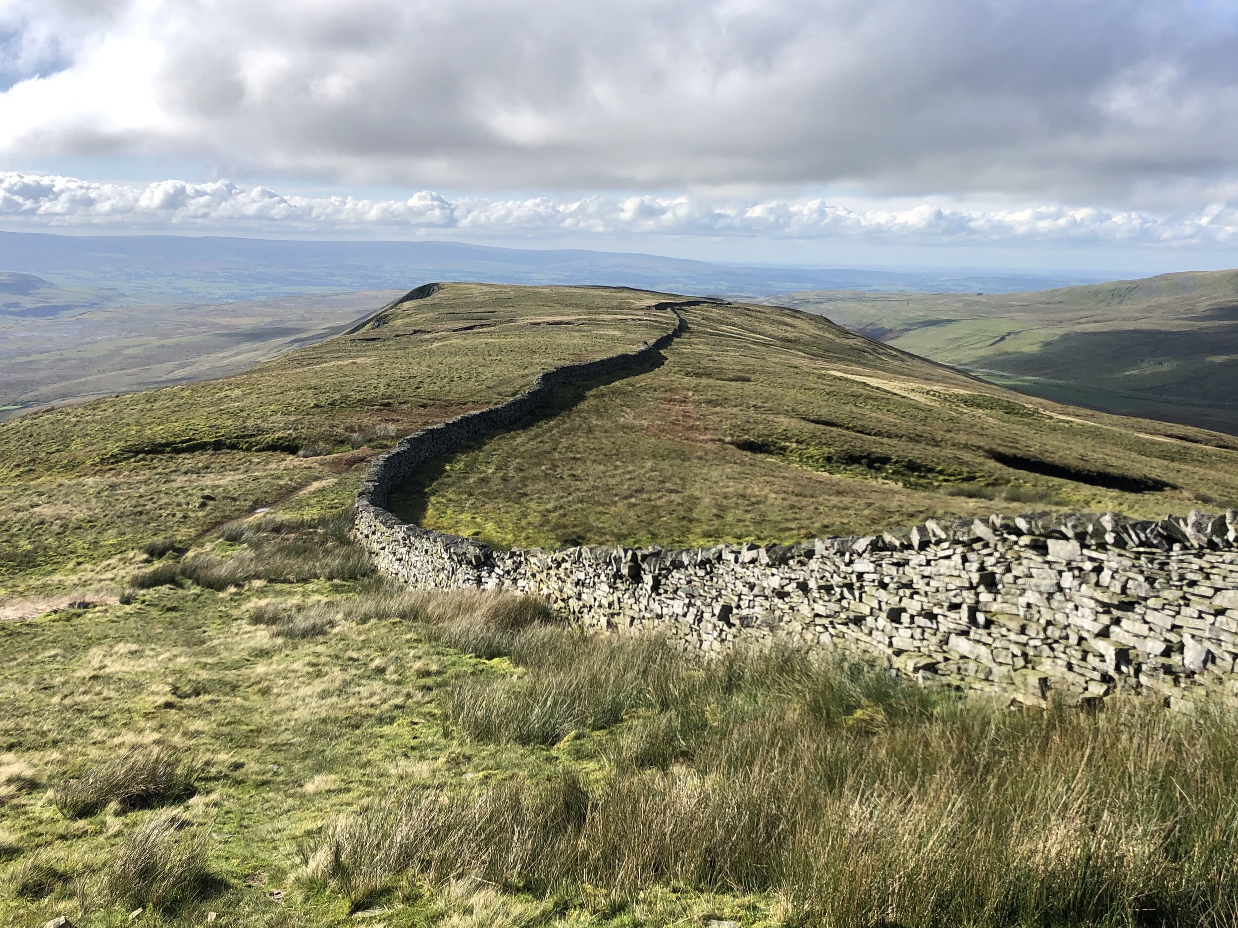
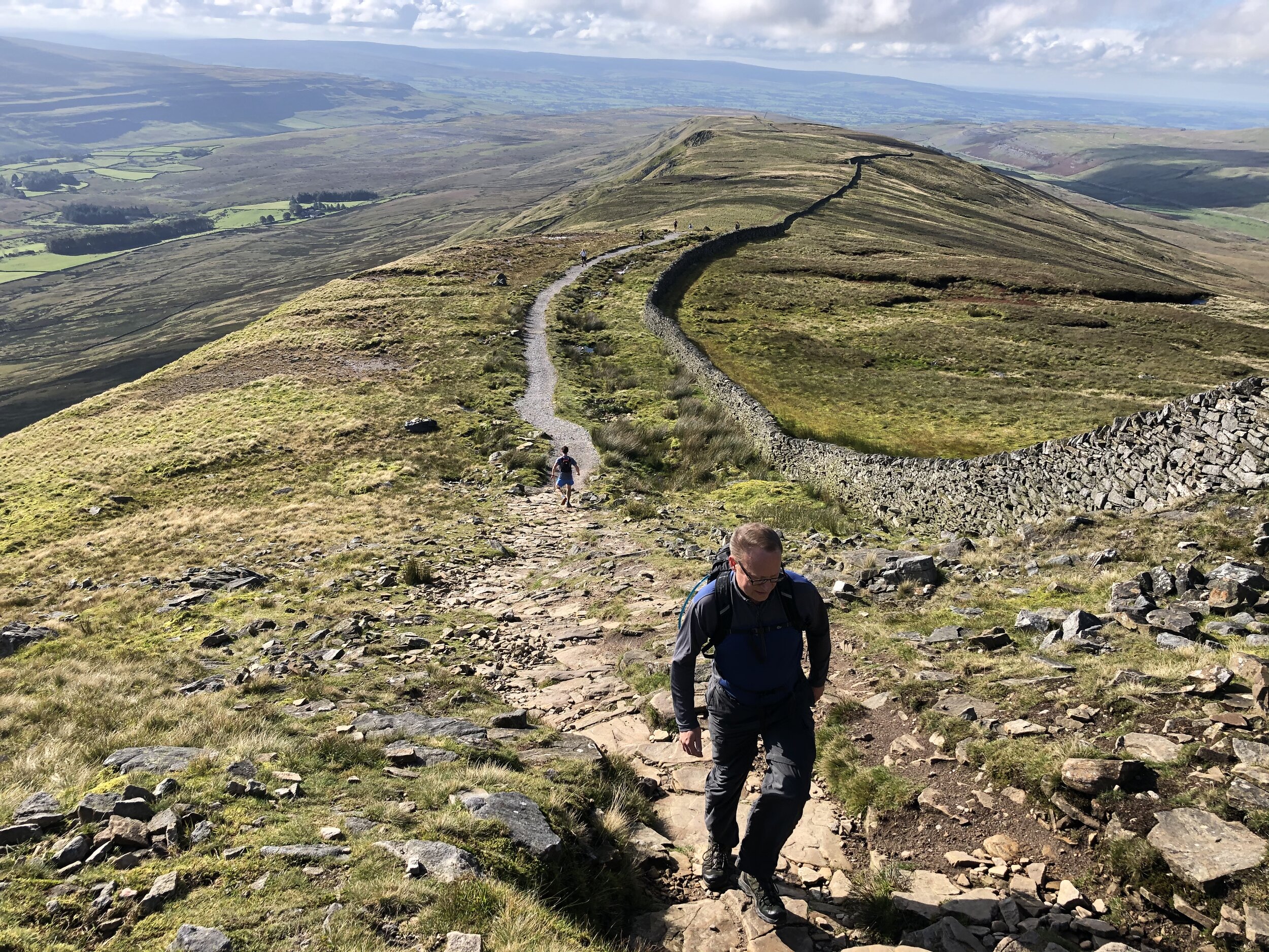
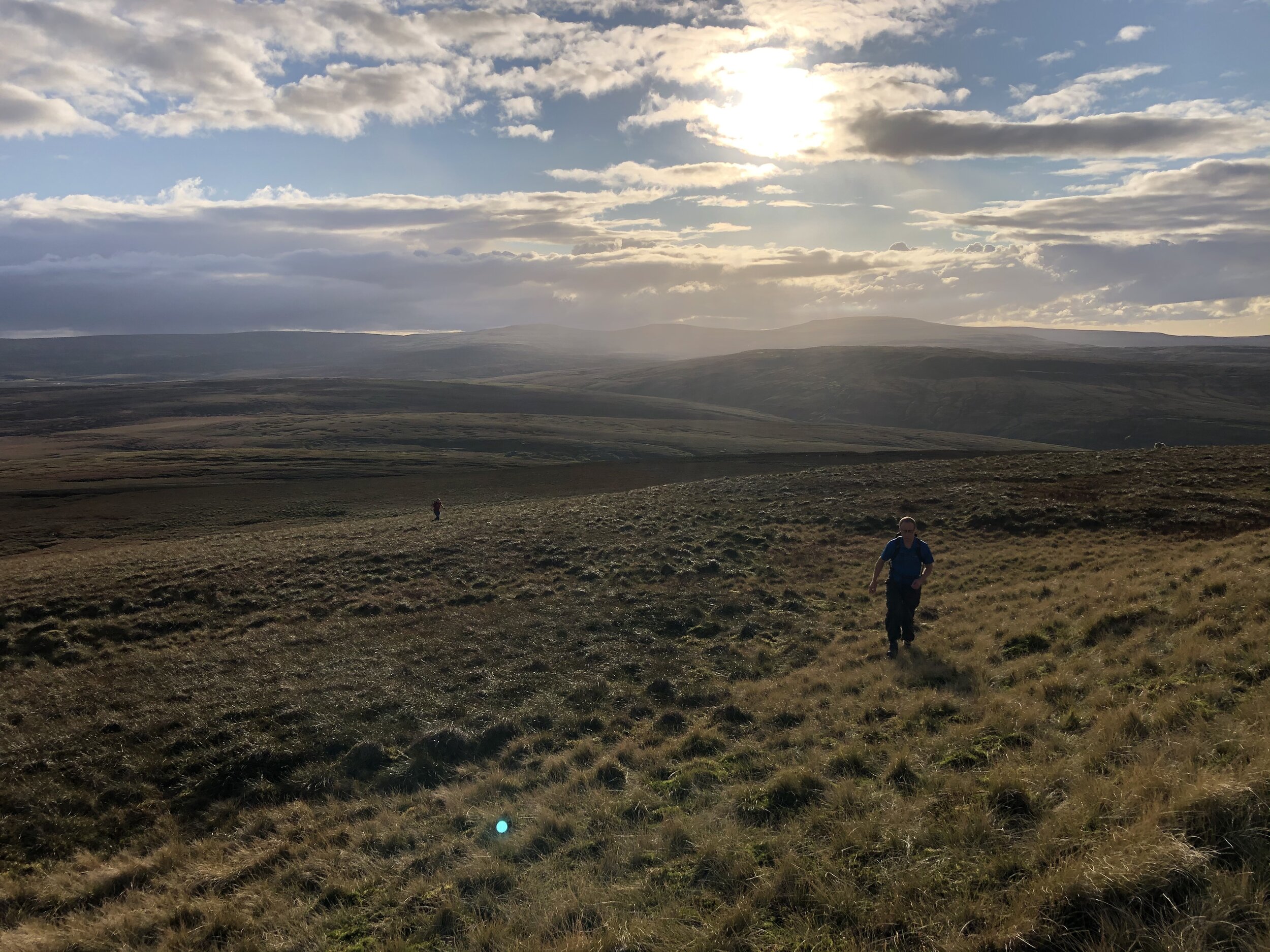
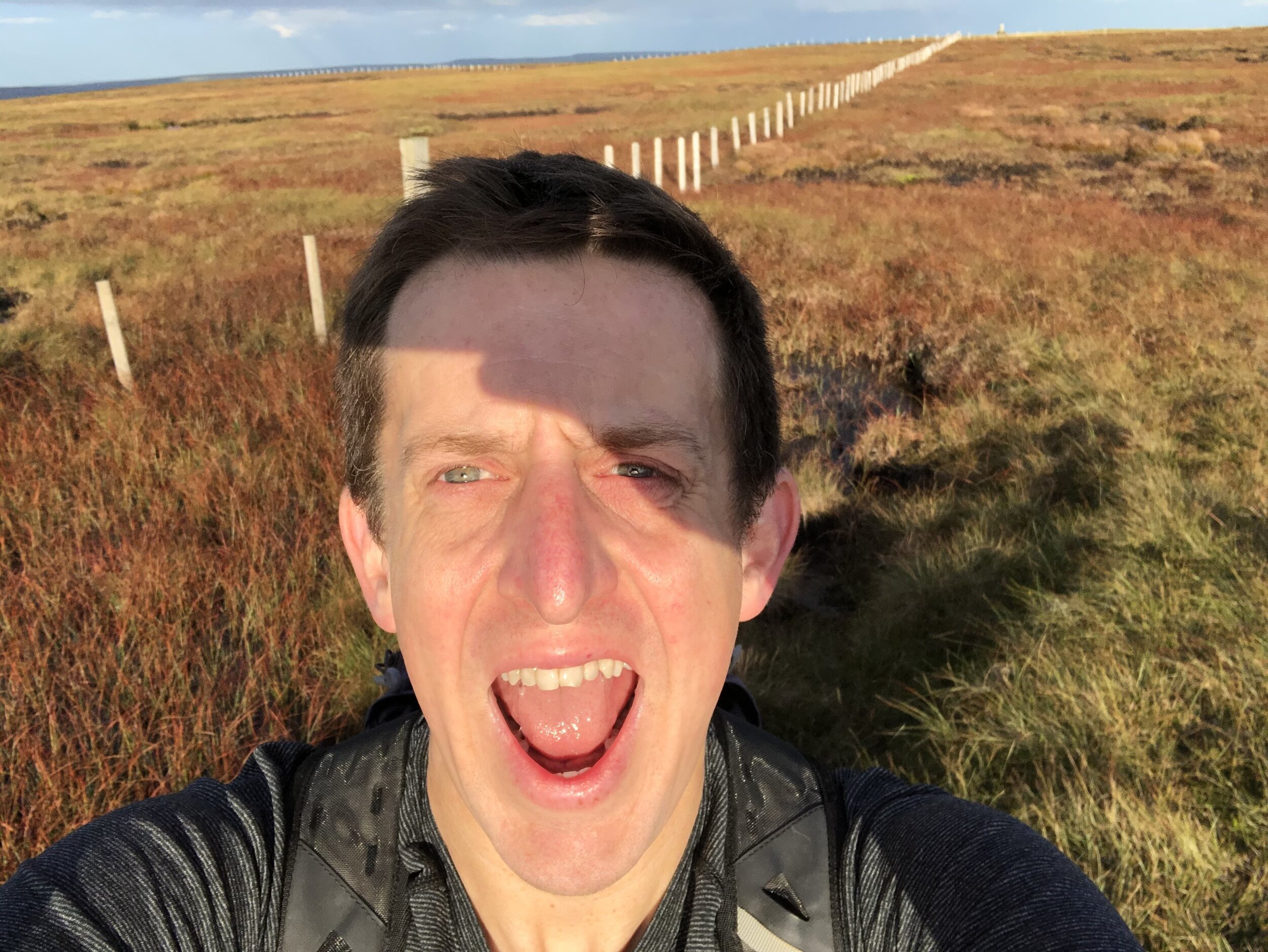
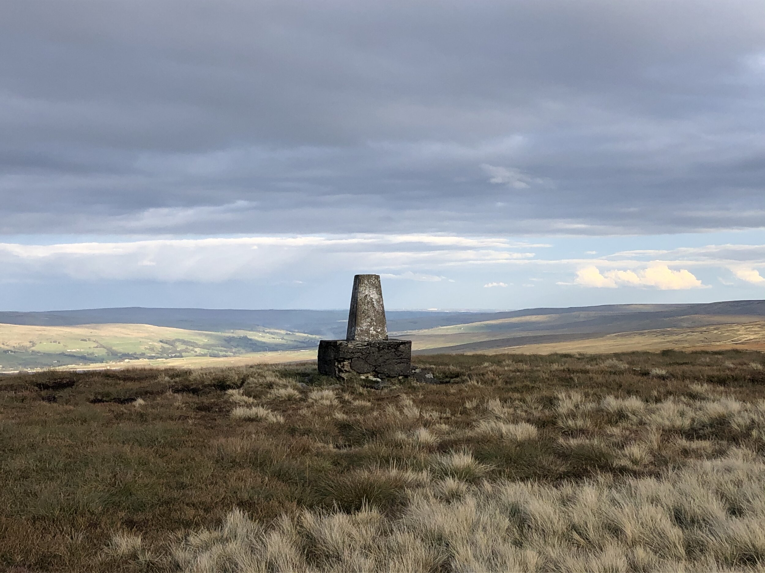
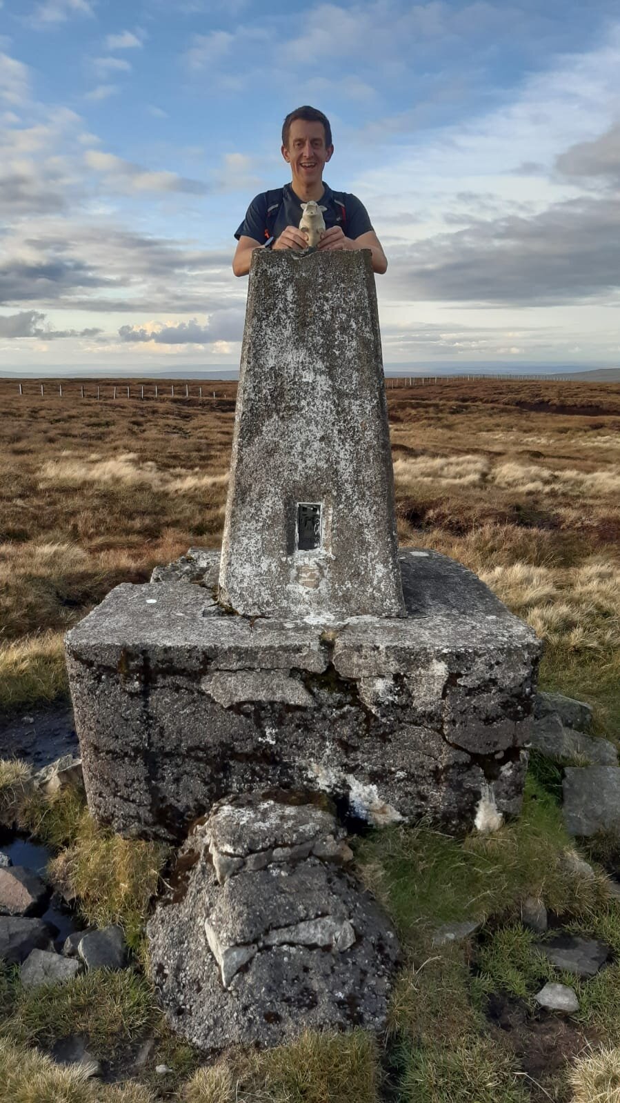
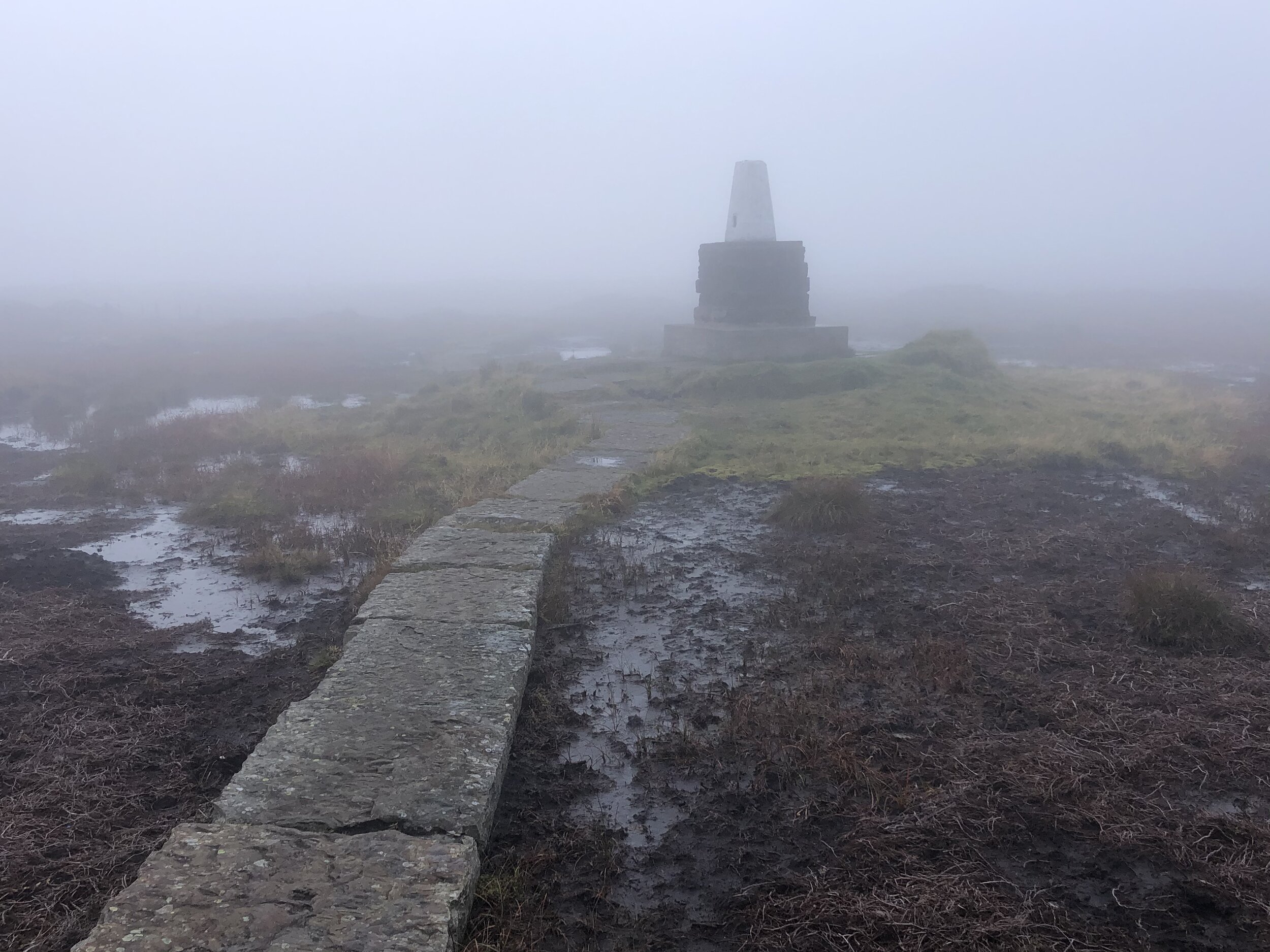
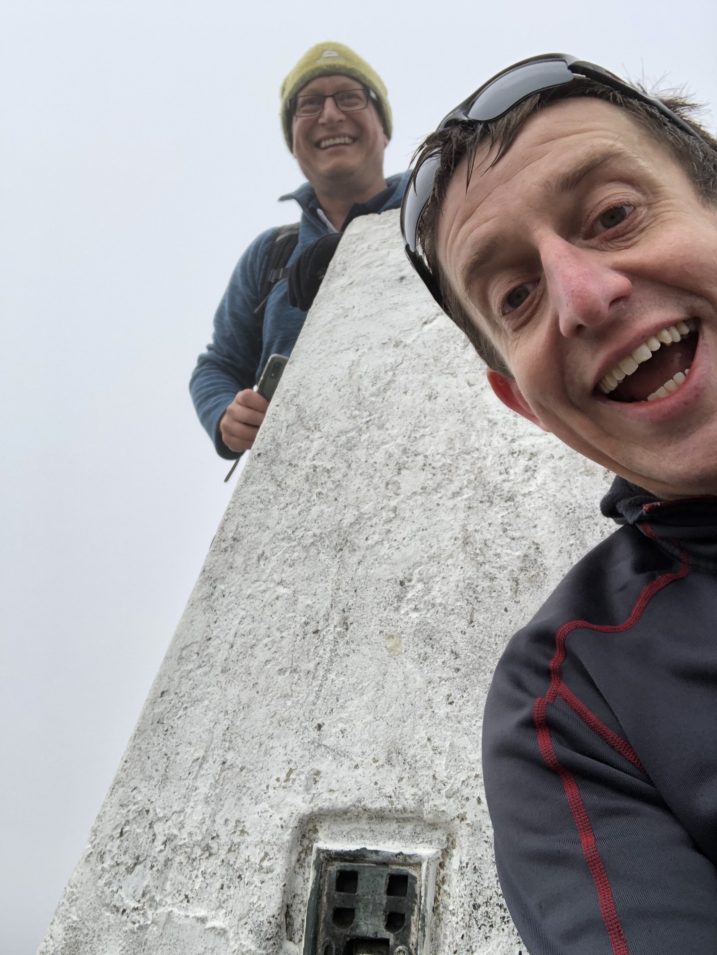
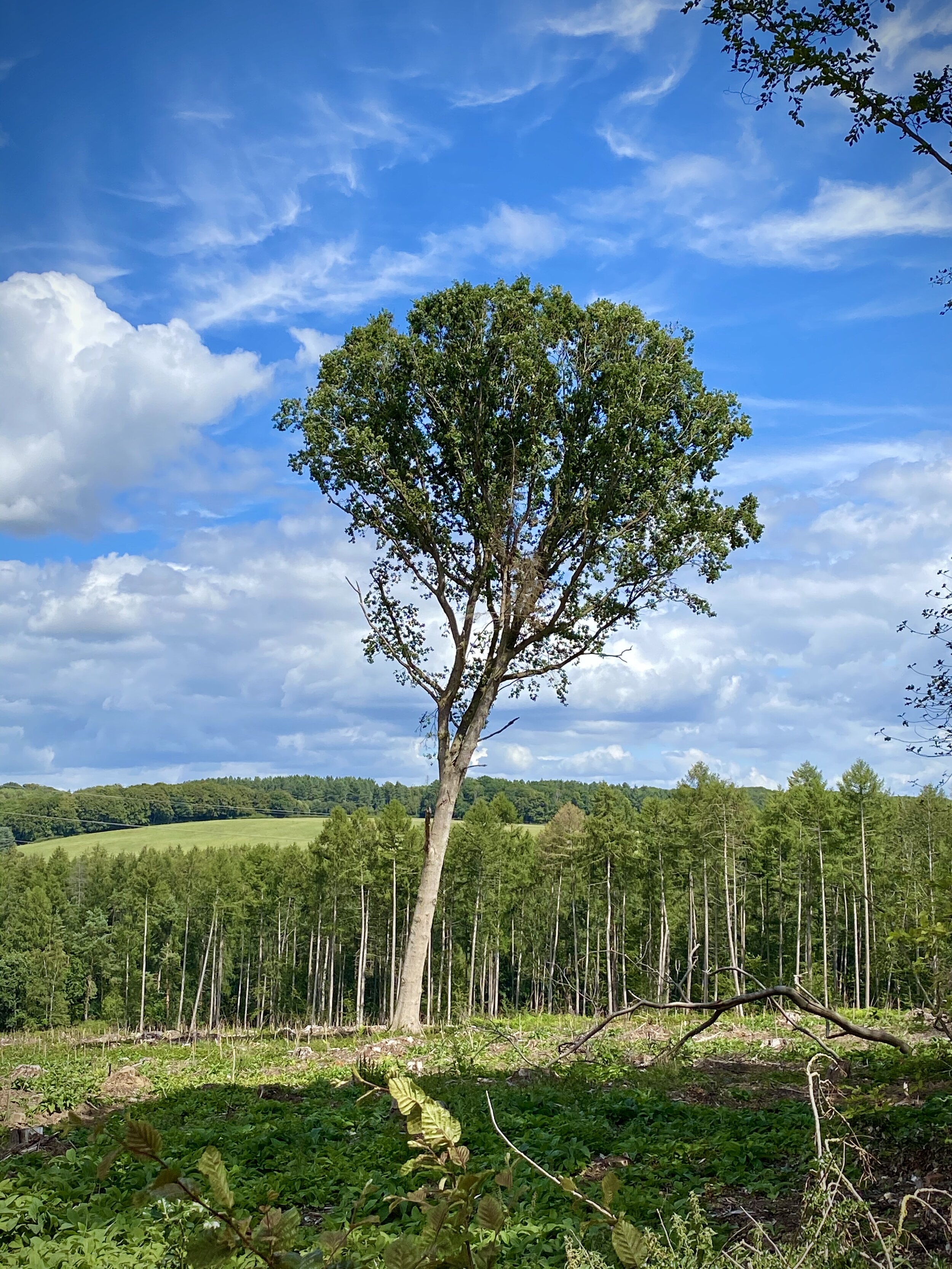
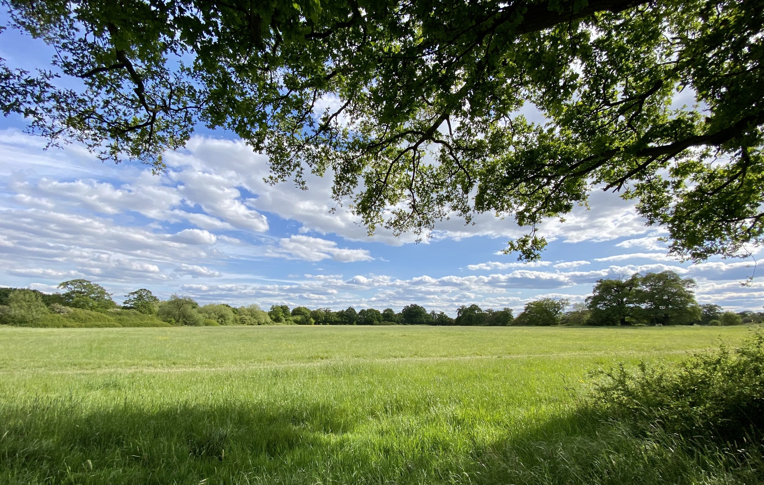
Once on the ridge-line the route is pretty simple and, with the views we had that day, quite breath-taking. The summit was pretty crowded when we got there. Partly it was the normal weekend day-walkers and we hit it at the same time as a lot of runners on their own Three Peaks Challenge. This was also the day of the Virtual London Marathon and there was a fair few marathoners that decided to do the 3 Peaks as their own London Marathon Route.
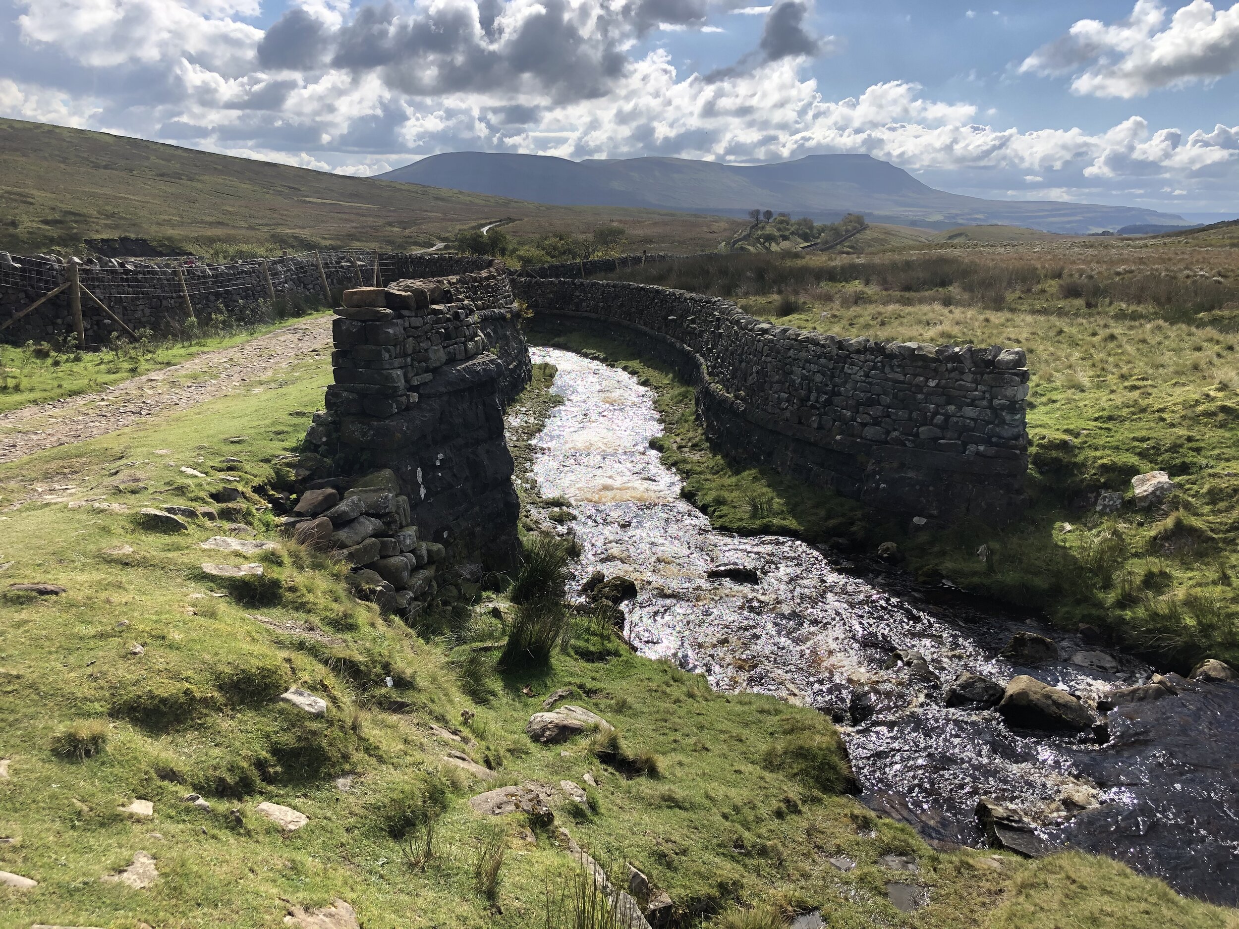
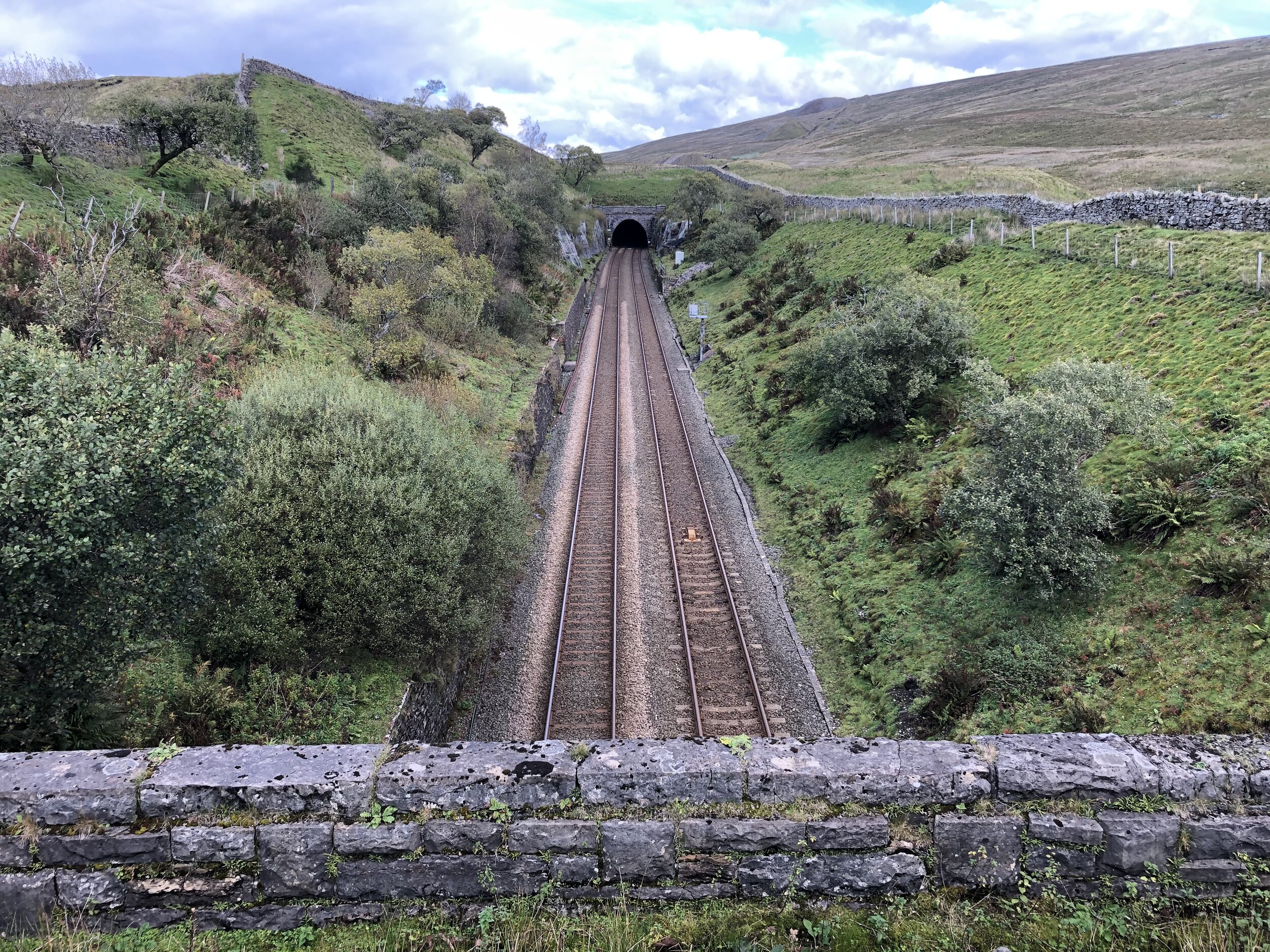
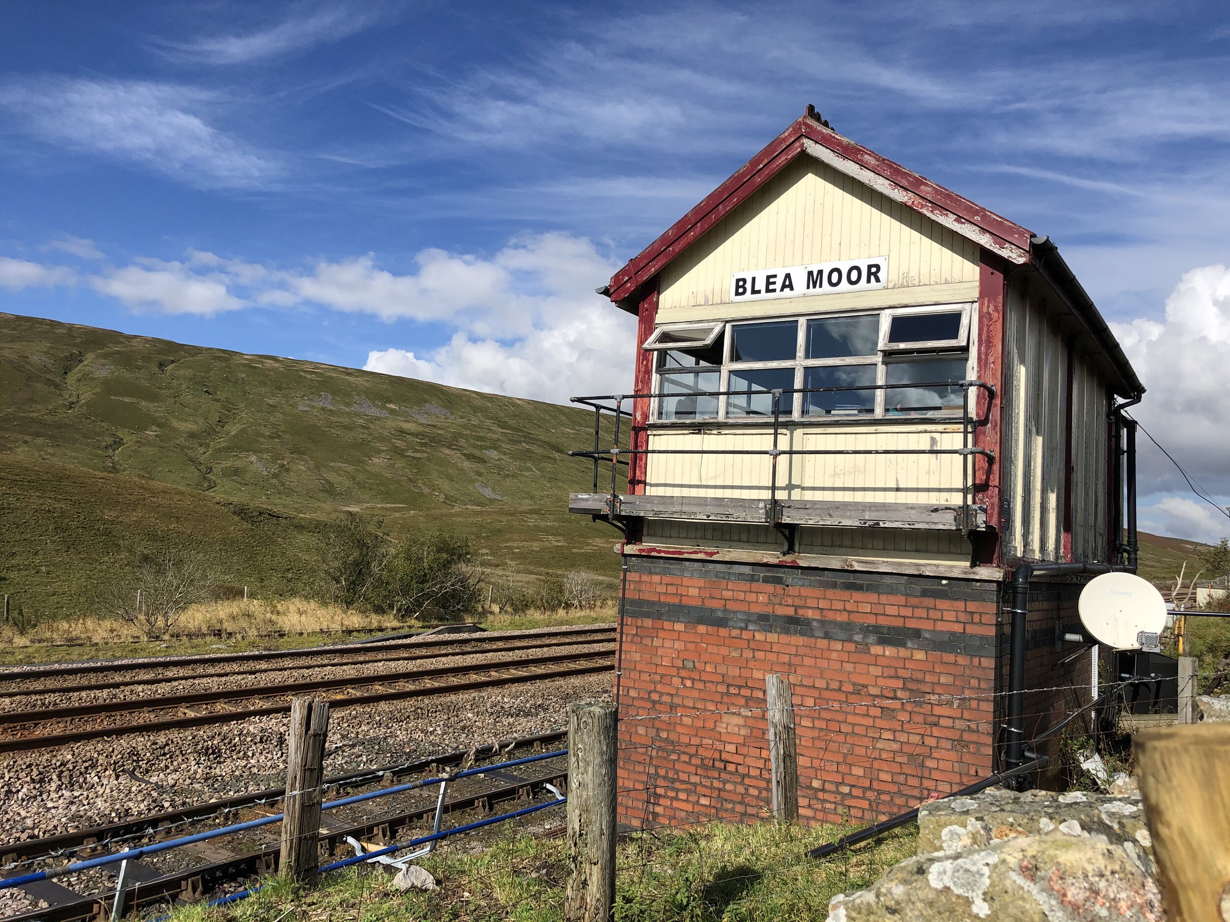
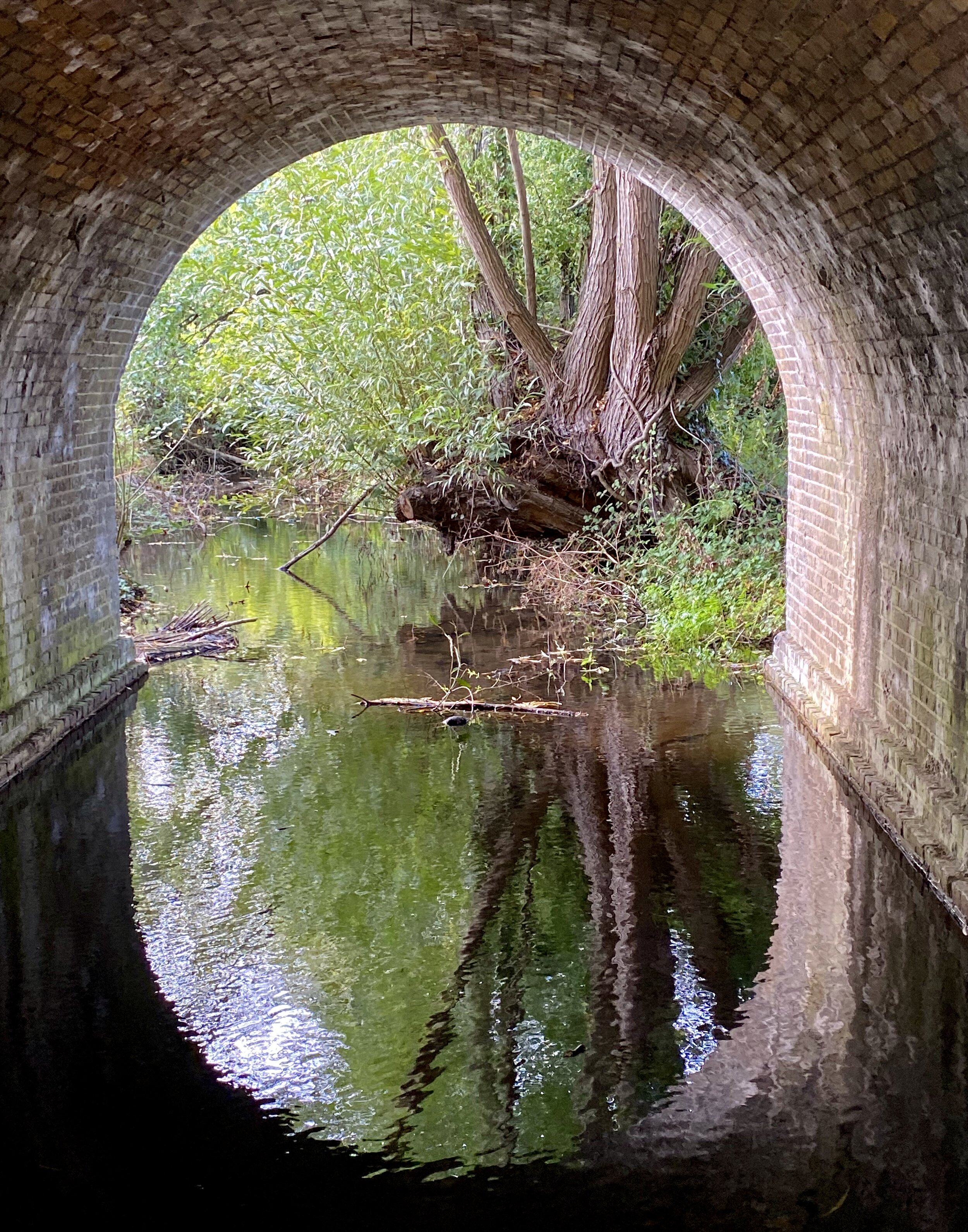
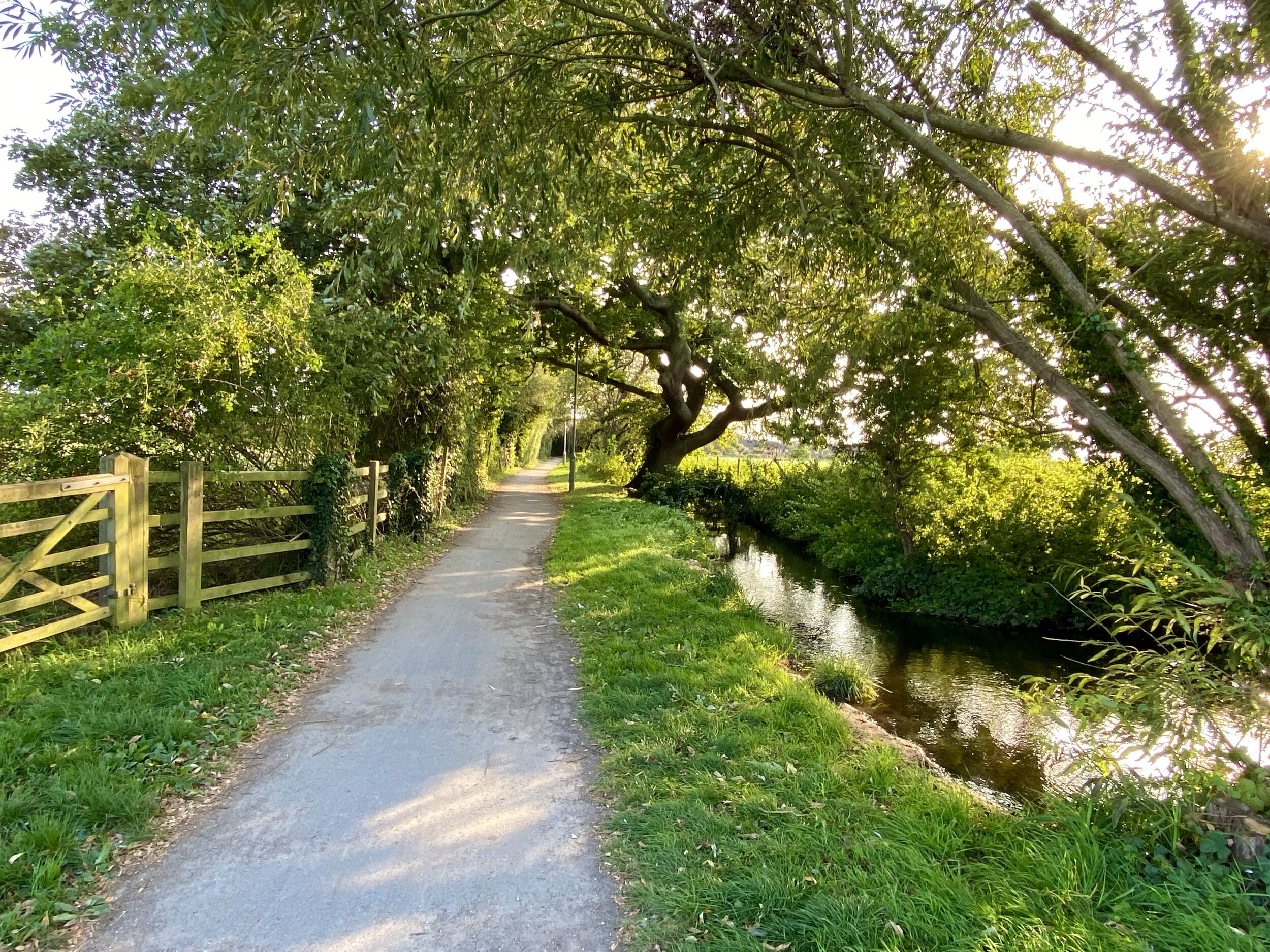
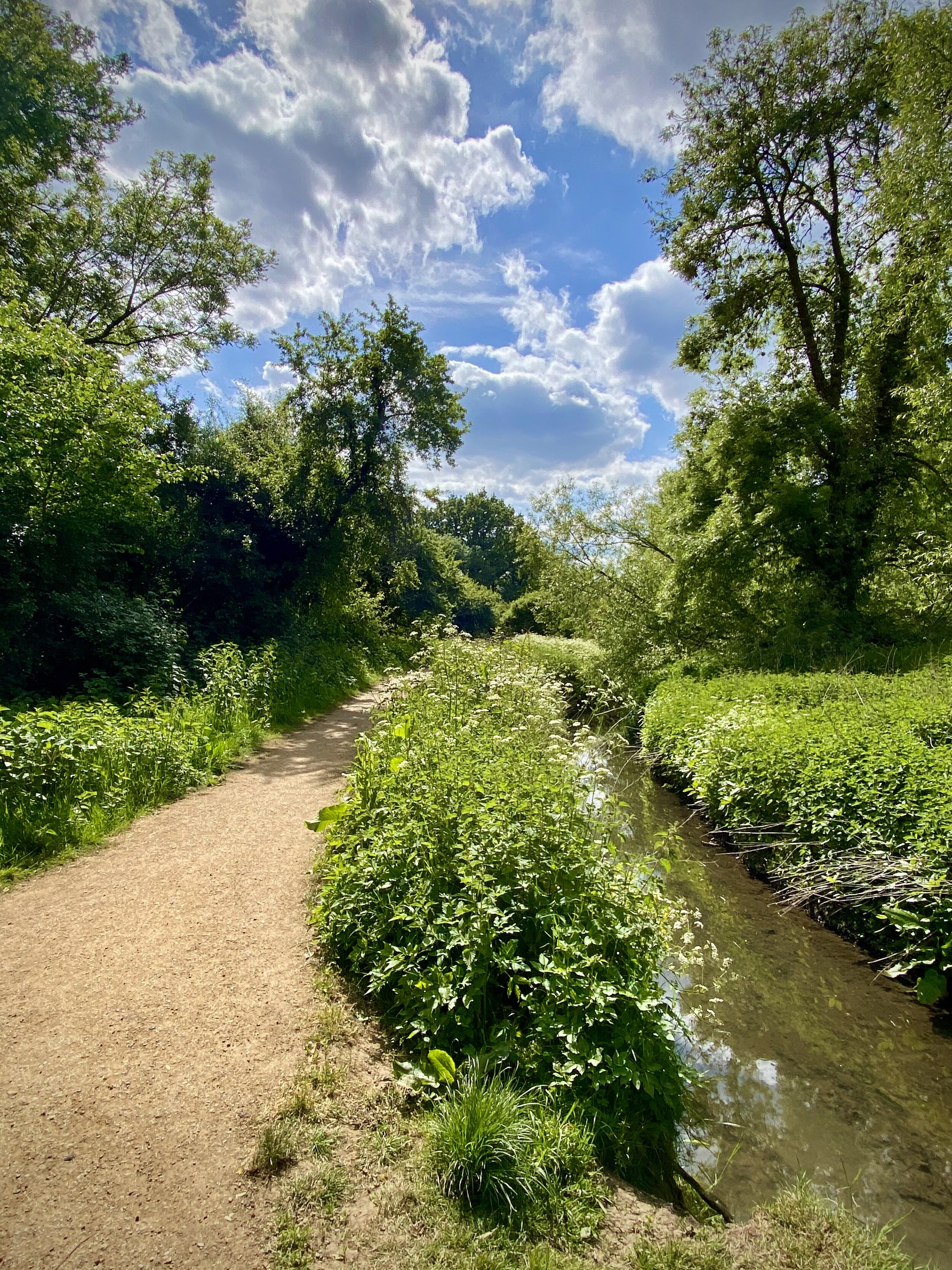
The descent was steady and interesting. Once down from the steeper sections the path curves back towards the viaduct and crosses over both Little Dale Beck and the rail line as it emerges from the Blea Moor Tunnel. The final section gives you another change to admire the Viaduct before returning to the car park.