Walking The Tihany Legends Trail, Hungary
Séta a tihanyi legendák ösvényén, Magyarország
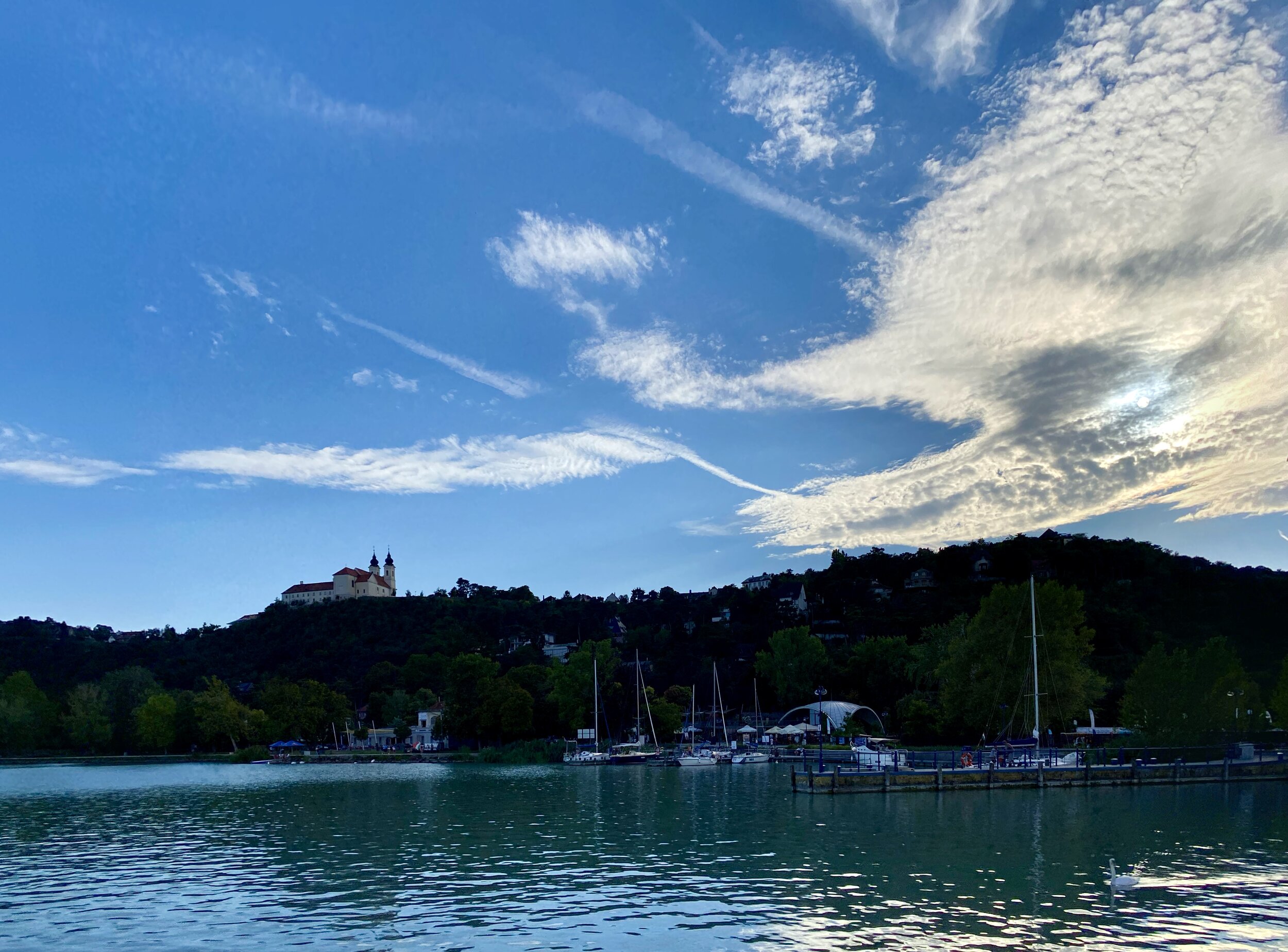
View from the northern point of the trail
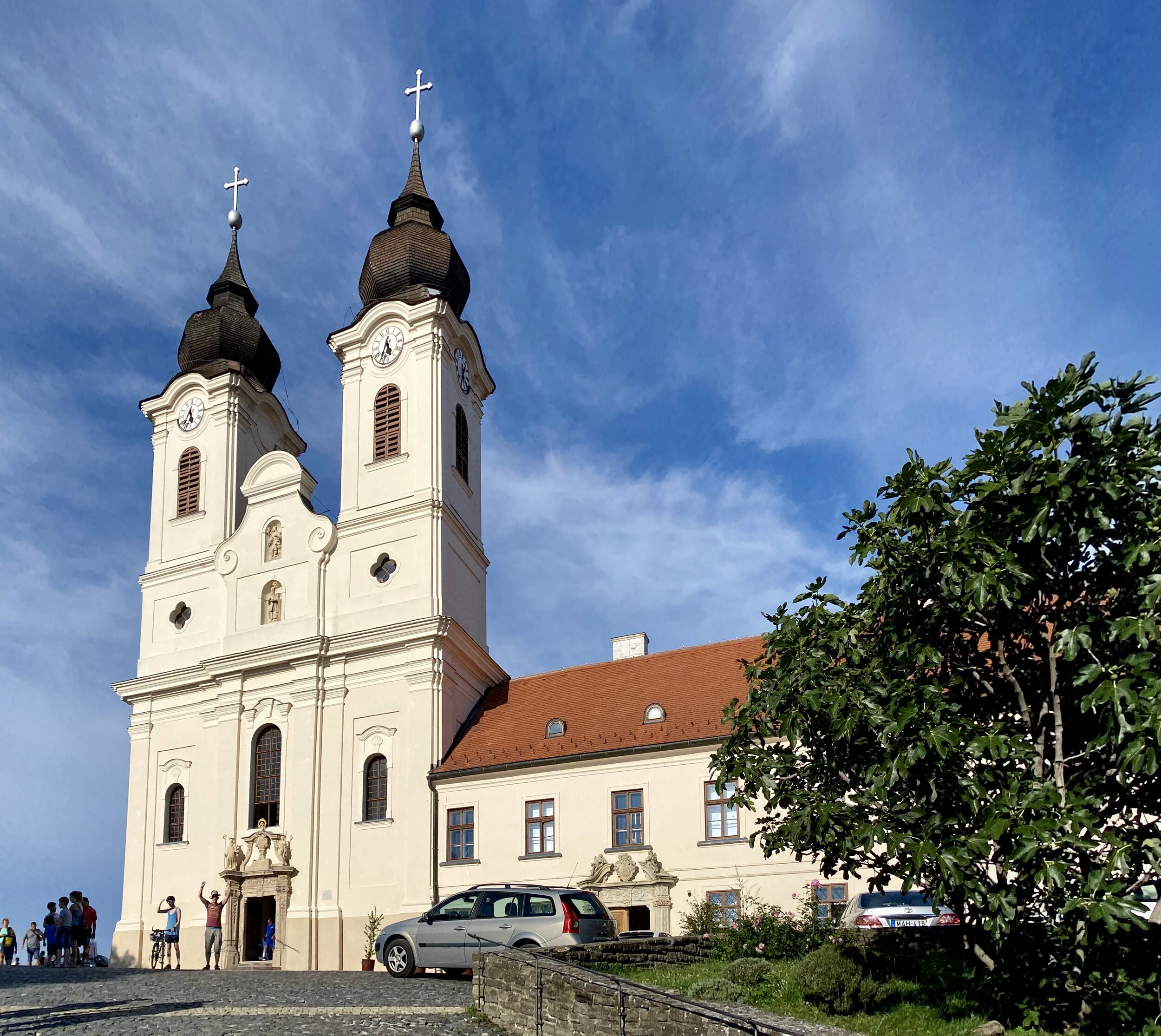
Start & Finish: Benedictine Abbey of Tihany, I. András tér 1, Tihany, 8237
Distance: 5 km (3.1 miles)
Elevation change: + / -112 m
GPX File: get via Buy Me a Coffee
Other routes touched (walk): Visszhang ut (Echo Trail), Levendula ut (Lavender Trail)
Other routes touched (cycle): Balaton Cycle Route
Links: Lake Balaton, TIhany, Tihany Abbey
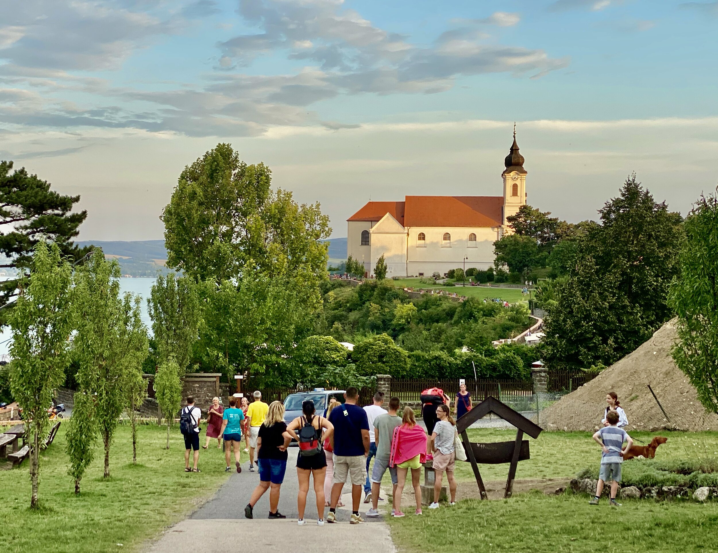
Tihany is as small village on the Tihany Peninsula that juts out into Lake Balaton in Hungary. We visit there every summer when visiting the lake to see Timea’s parents. From the Benedictine Church in the centre of town you can pick up one of 3 walking trails of varying length. Trail 1, the Echo Trail, is really short and you’ll pretty much have done it by accident if you wander around the main streets in town. This 5k route is a good choice and takes you on a scenic hilly trail to the north of the church. You can pick up a paper map for all 3 trails from the Tourist Information Centre.
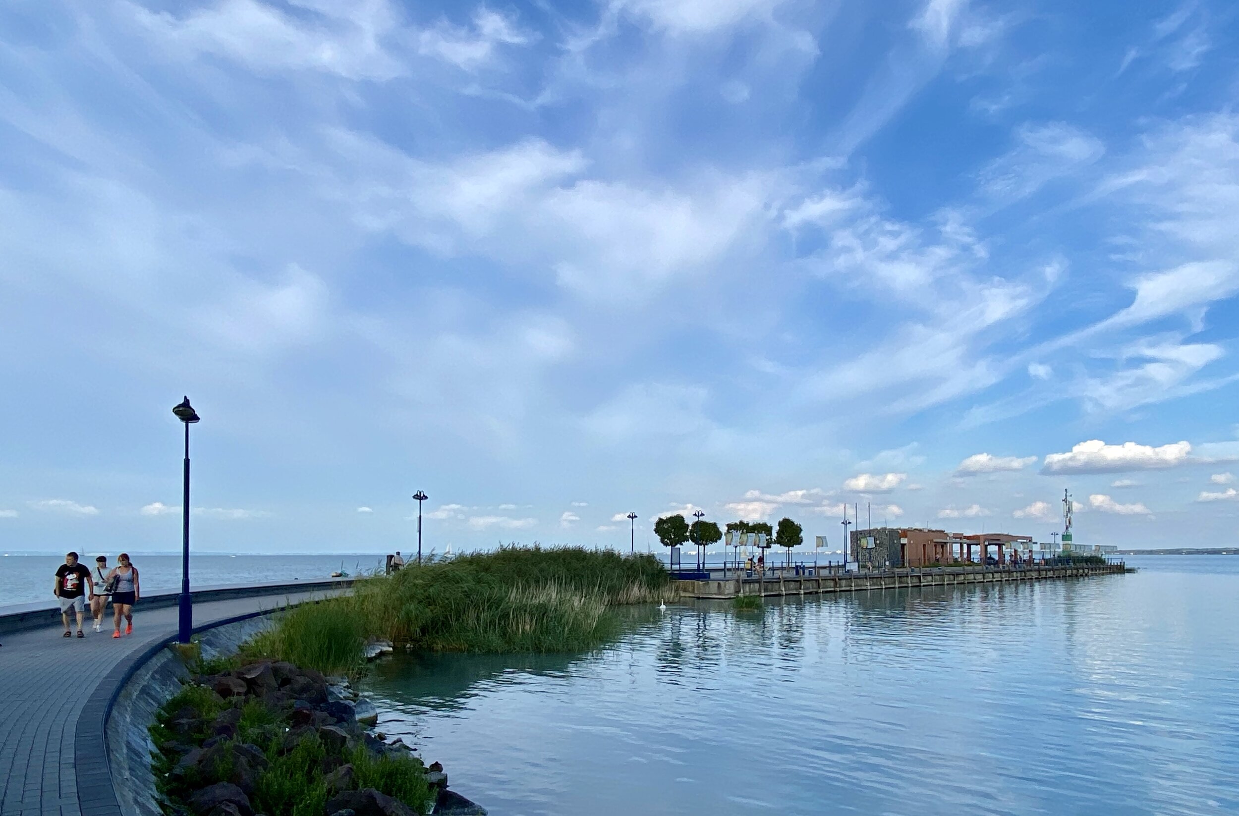
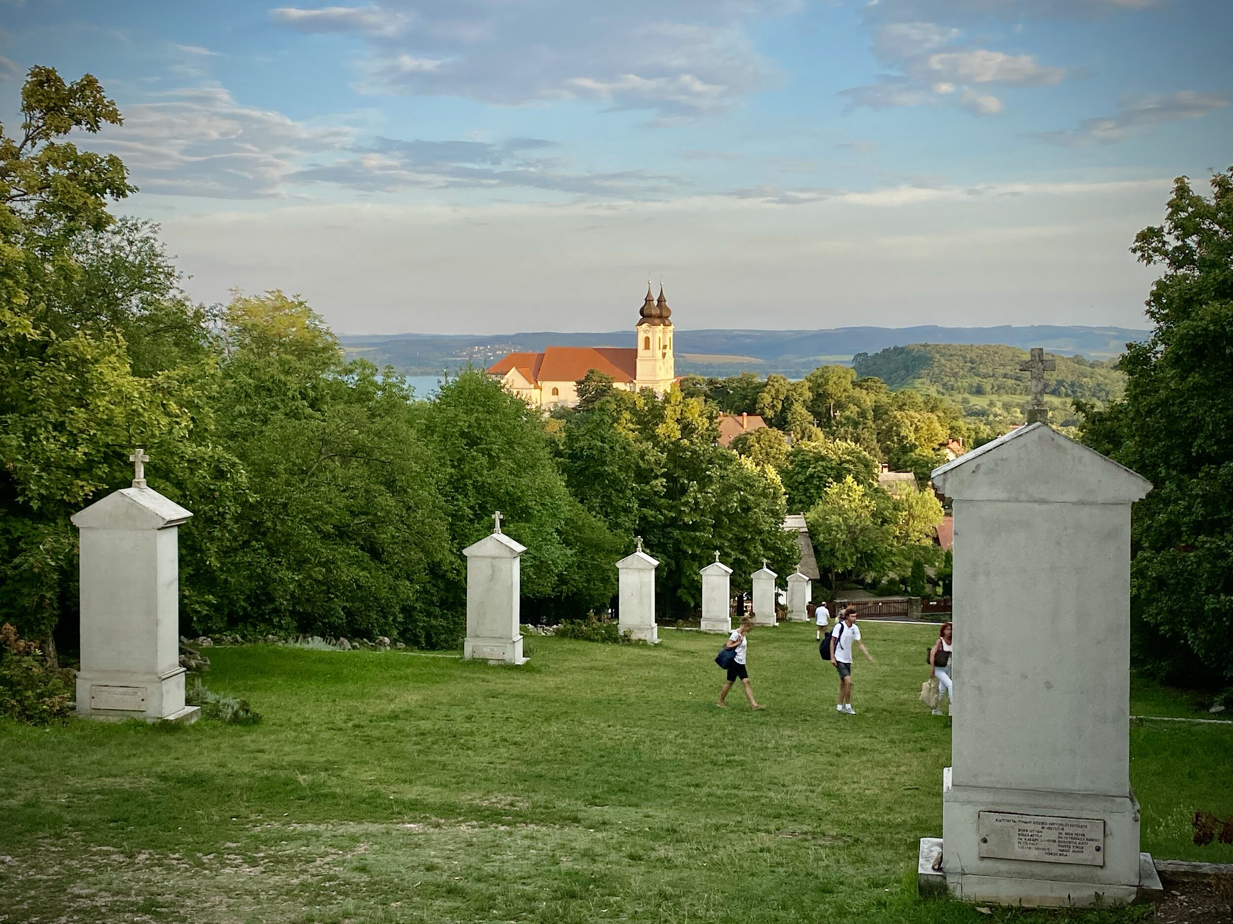
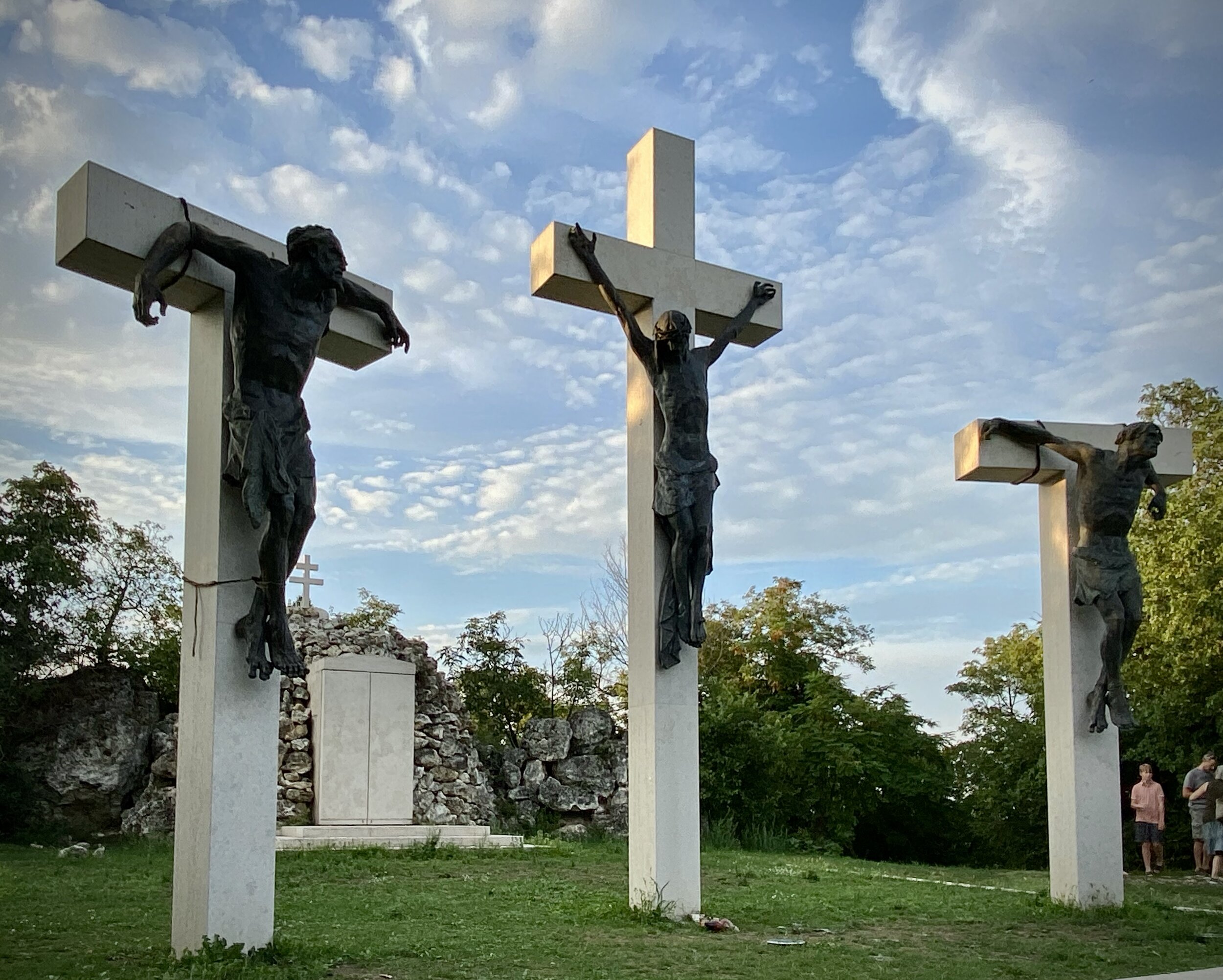
Starting from the church, the first part of the route takes you on a small loop of some monuments before heading north to the Echo. Here you’ll find a spot where if you shout loudly you’ll hear an echo bounced seven times off the church and surrounding buildings. Unfortunately there was building work happening when we were there which was absorbing the echos. From here take the winding Garay János Utca down to Tihany Harbour.
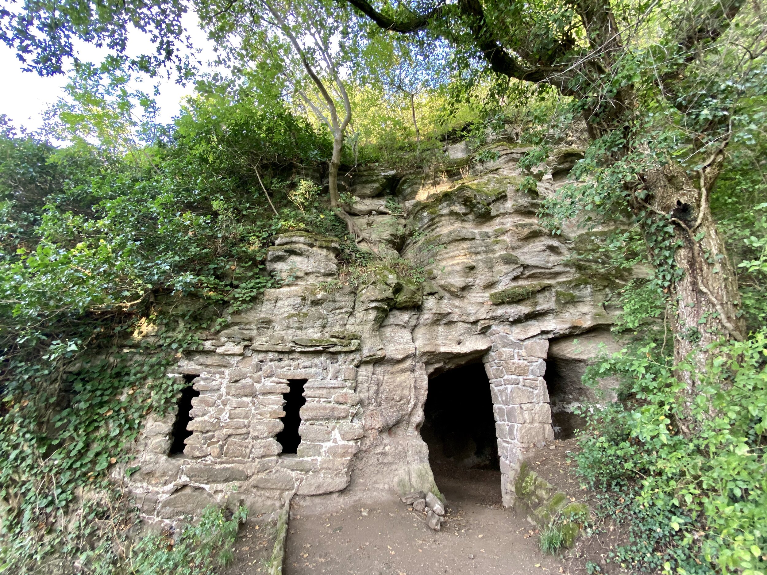
From the harbour walk north-west for ~1km, then carefully cross the main road to a small parking area. Here you can take a footpath that rises steeply through the woods back up the hill. Through this wooded part you’ll find Balaton Geopark signs giving information on the area. The most interesting find here are the Monk Cave Dwellings. These are man-made caves (allegedly) built for Russian monks brought from Kiev by the wife of Hungarian King Andras in ~1050. A few are easily and safely accessible from the path.
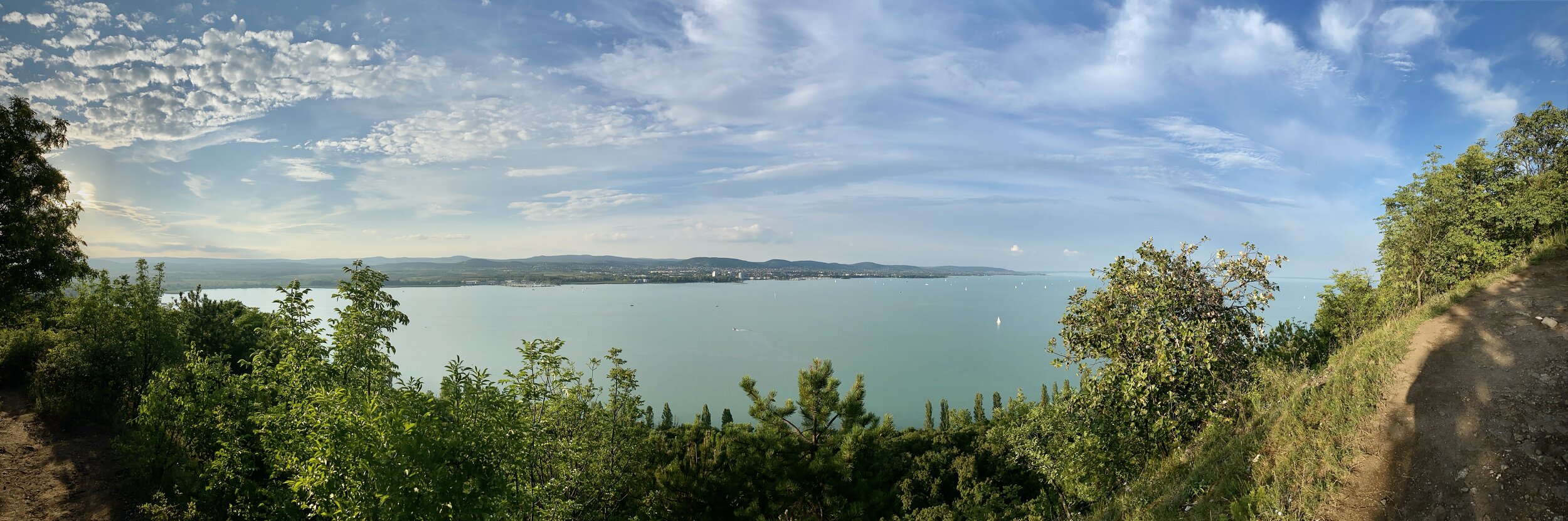
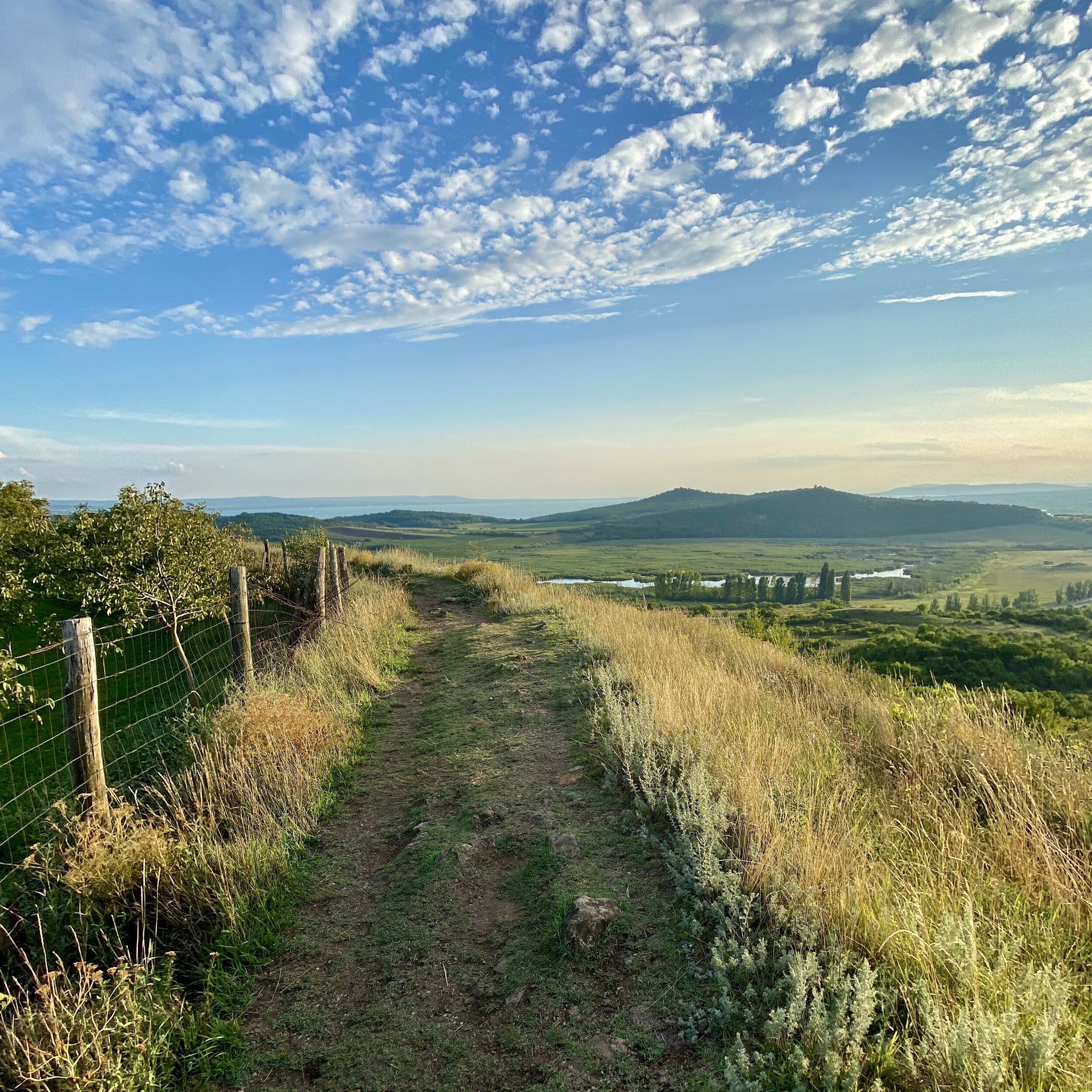
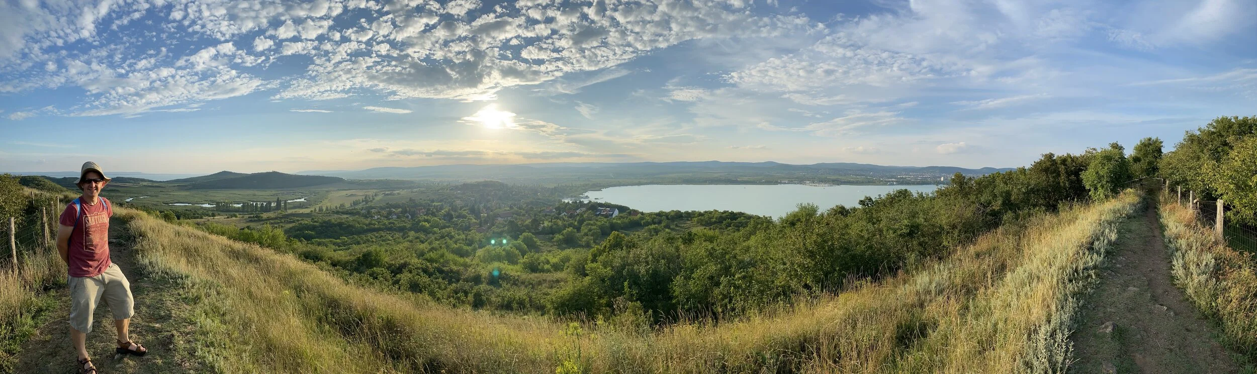
After the caves, the path continues upwards towards the north west. At the highest point there are outstanding views of the north end of the peninsula. From here the path turns southwards and descends back towards the town and the end-point at the church.