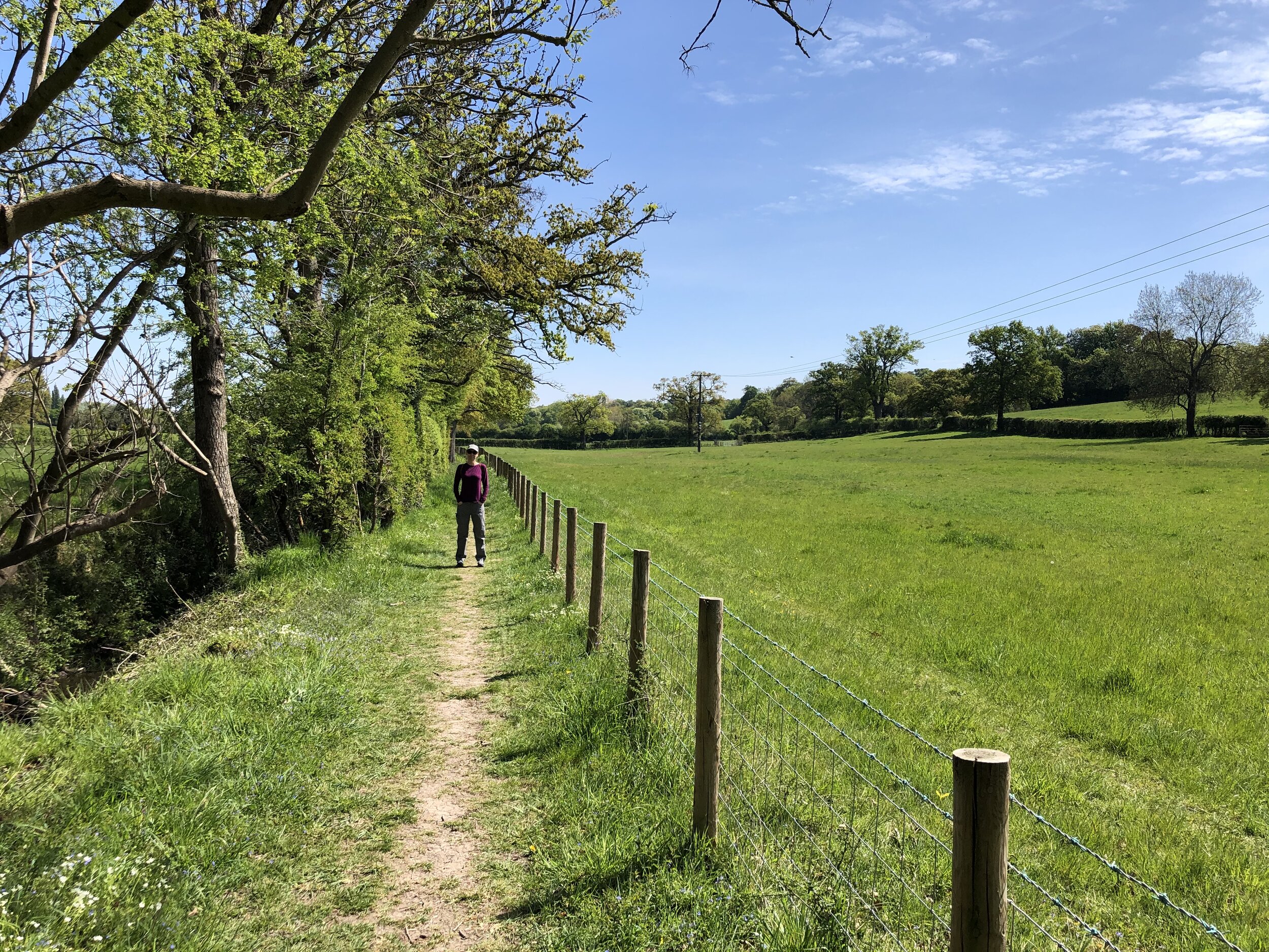
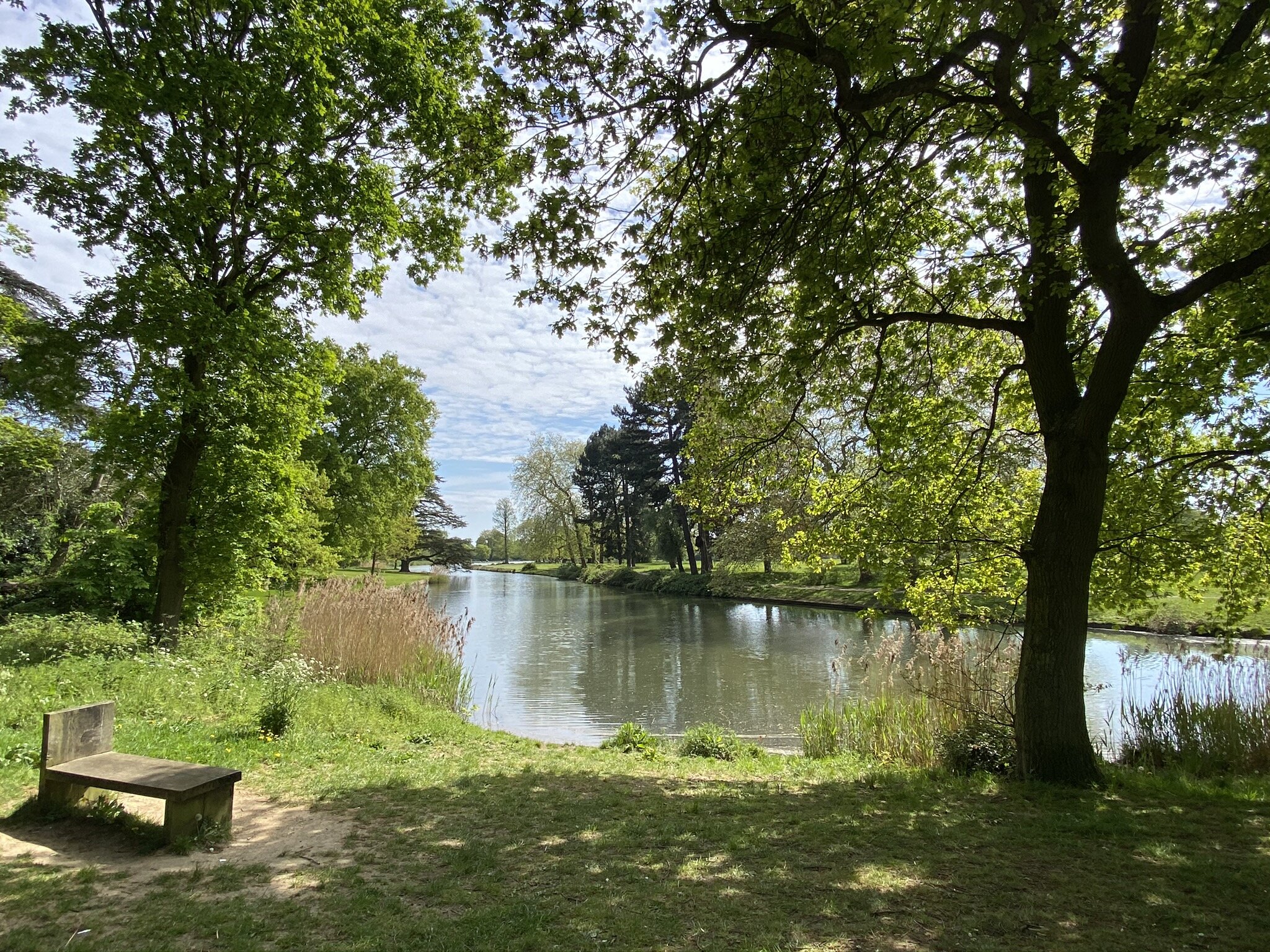
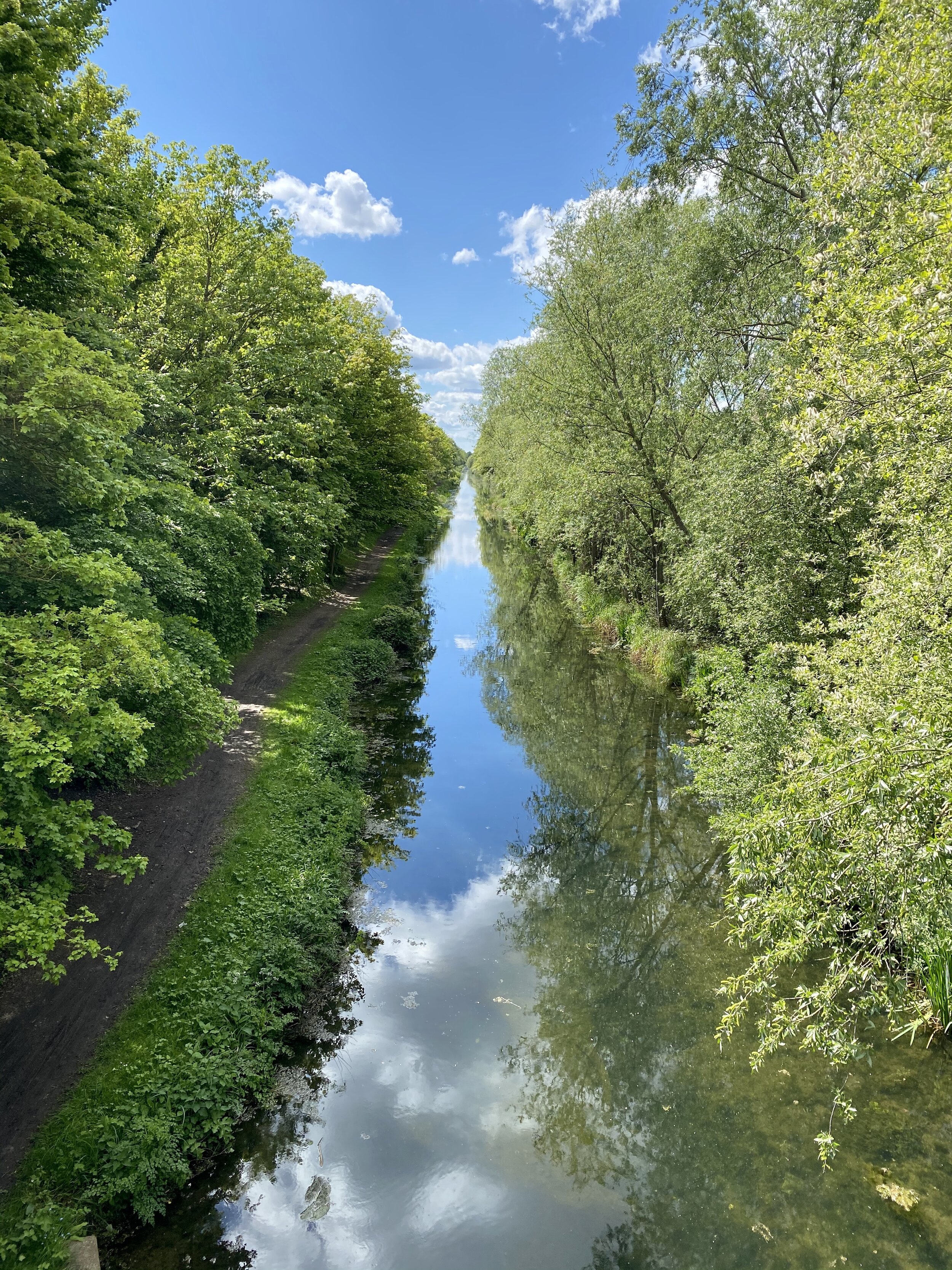
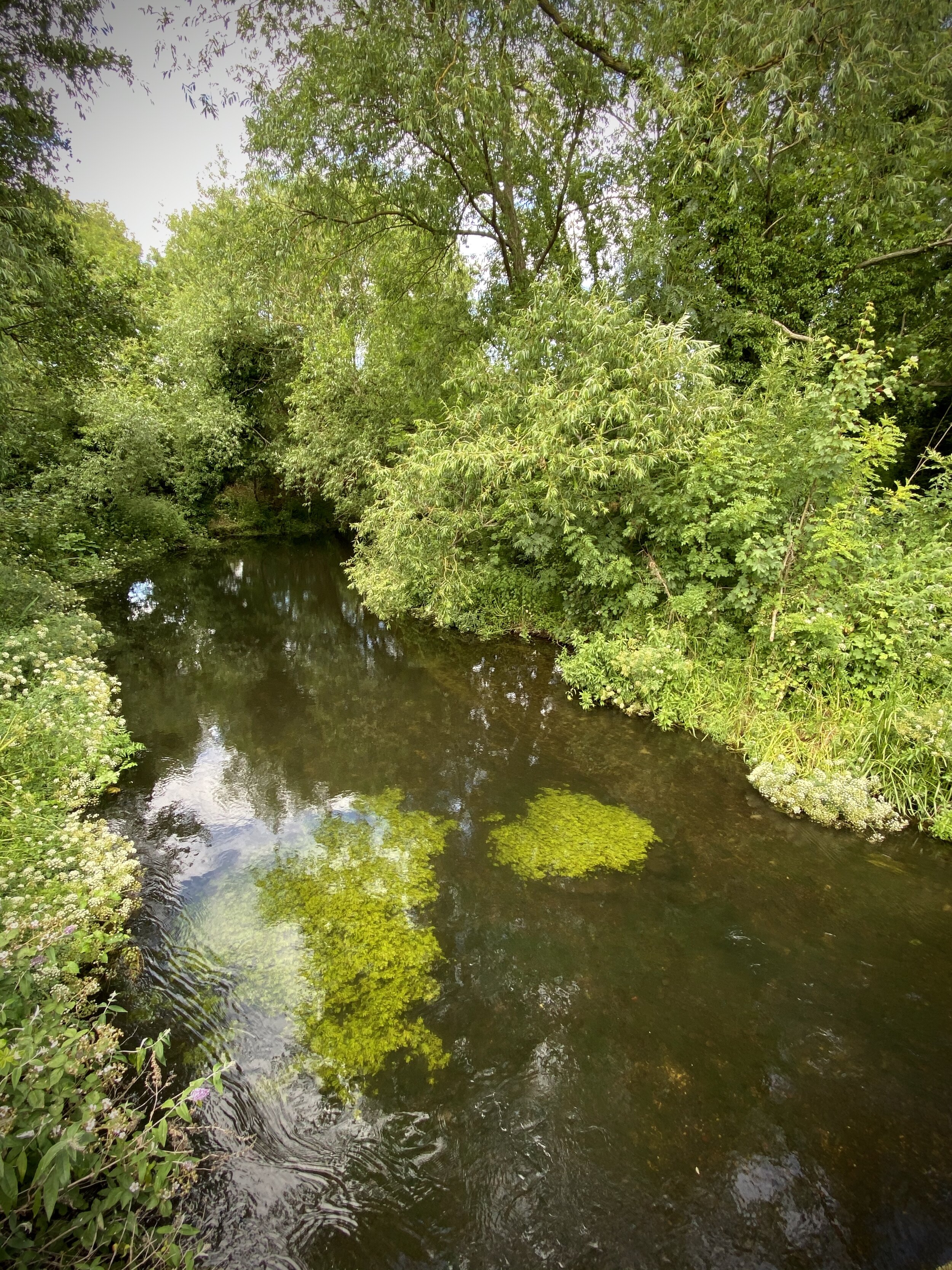
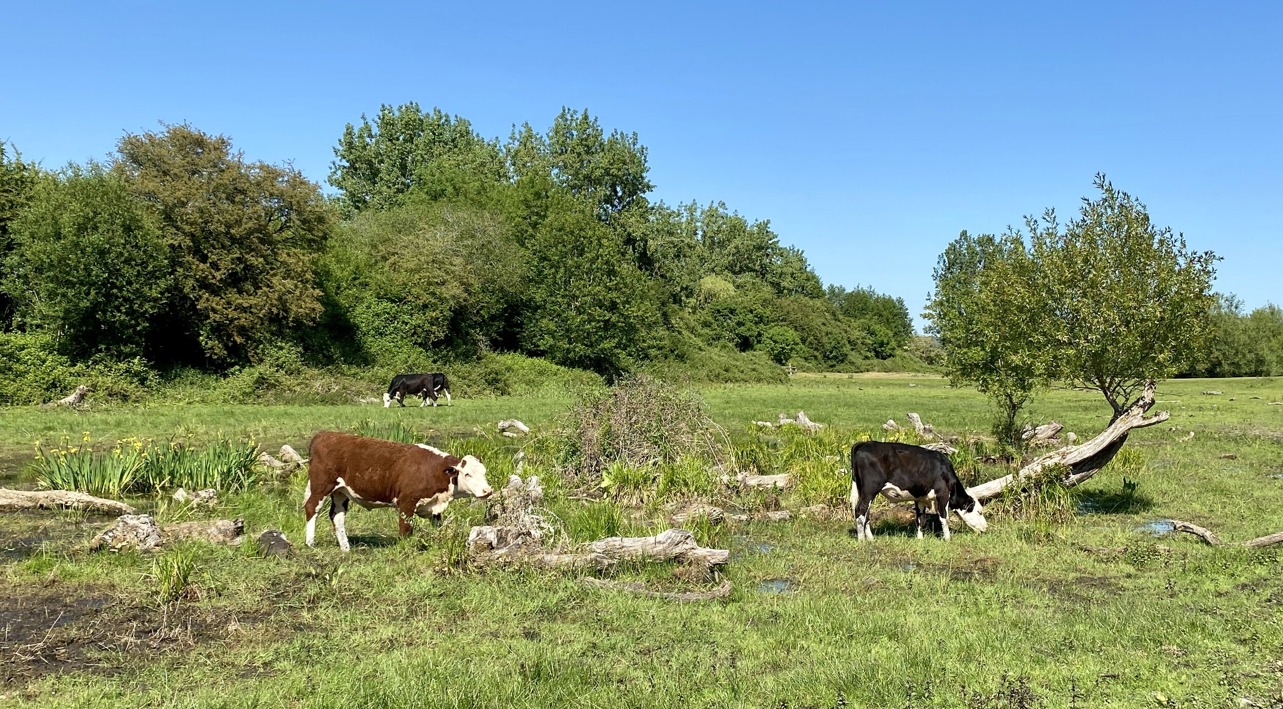
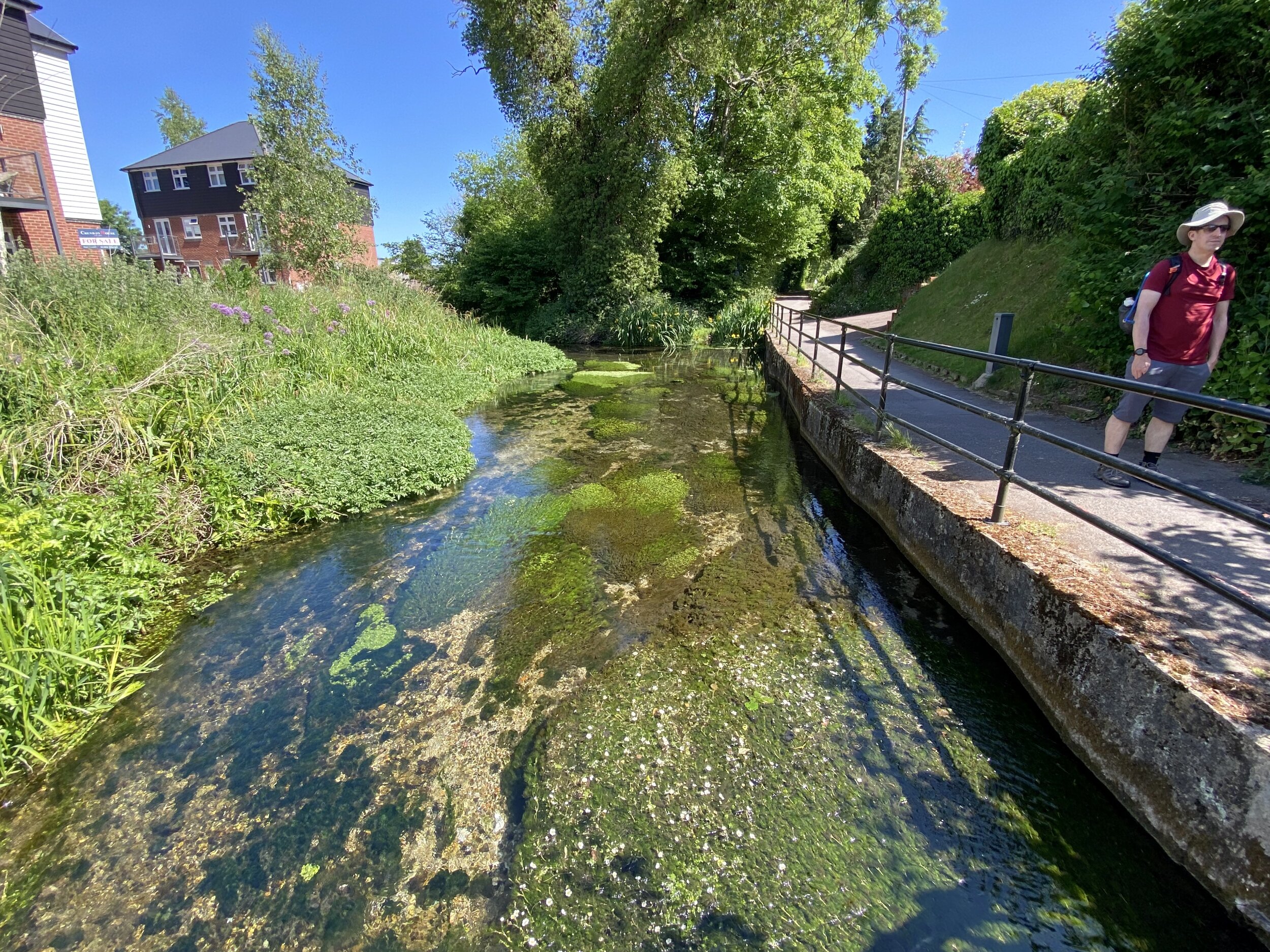
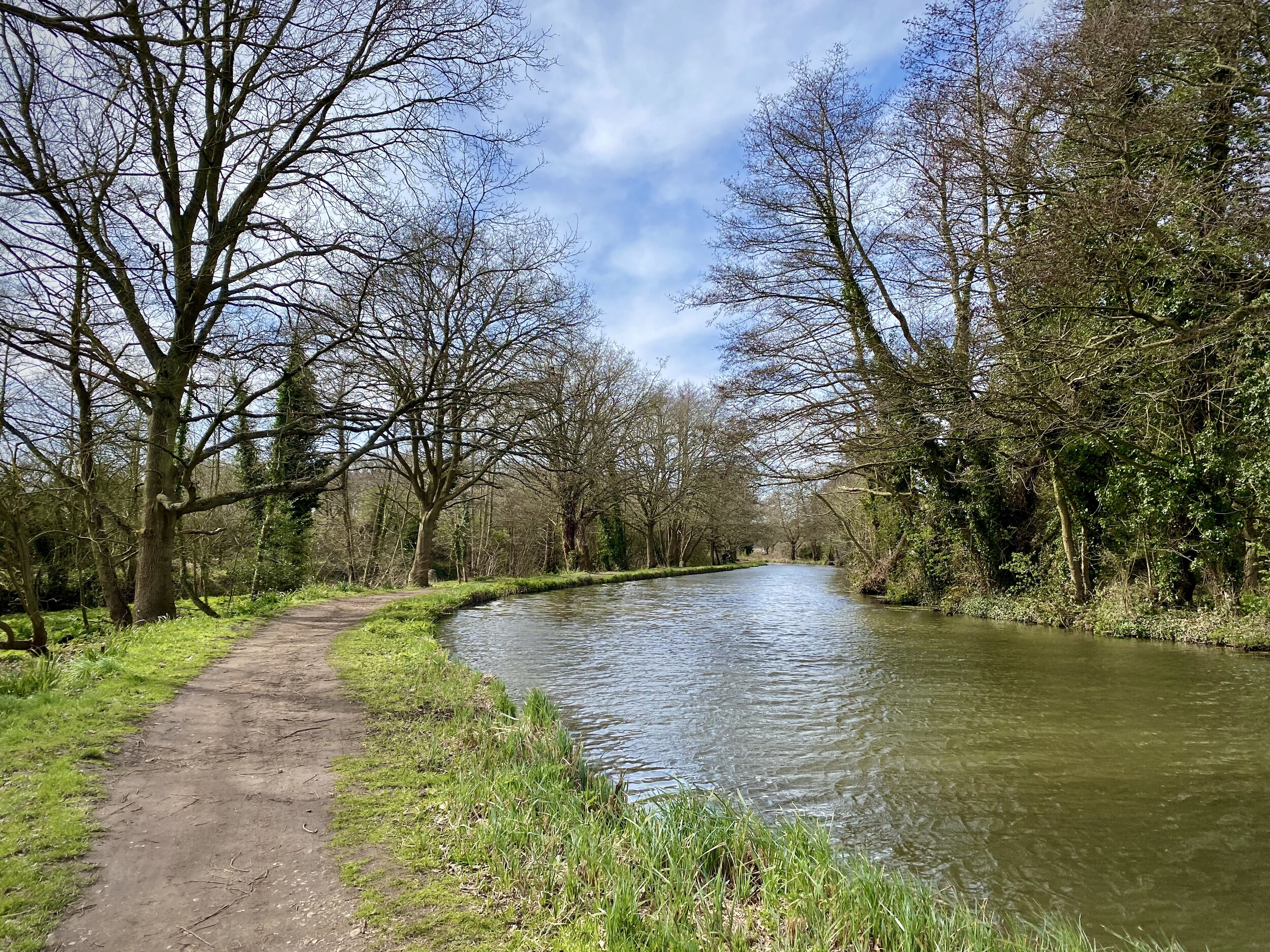
River Chess near Sarratt
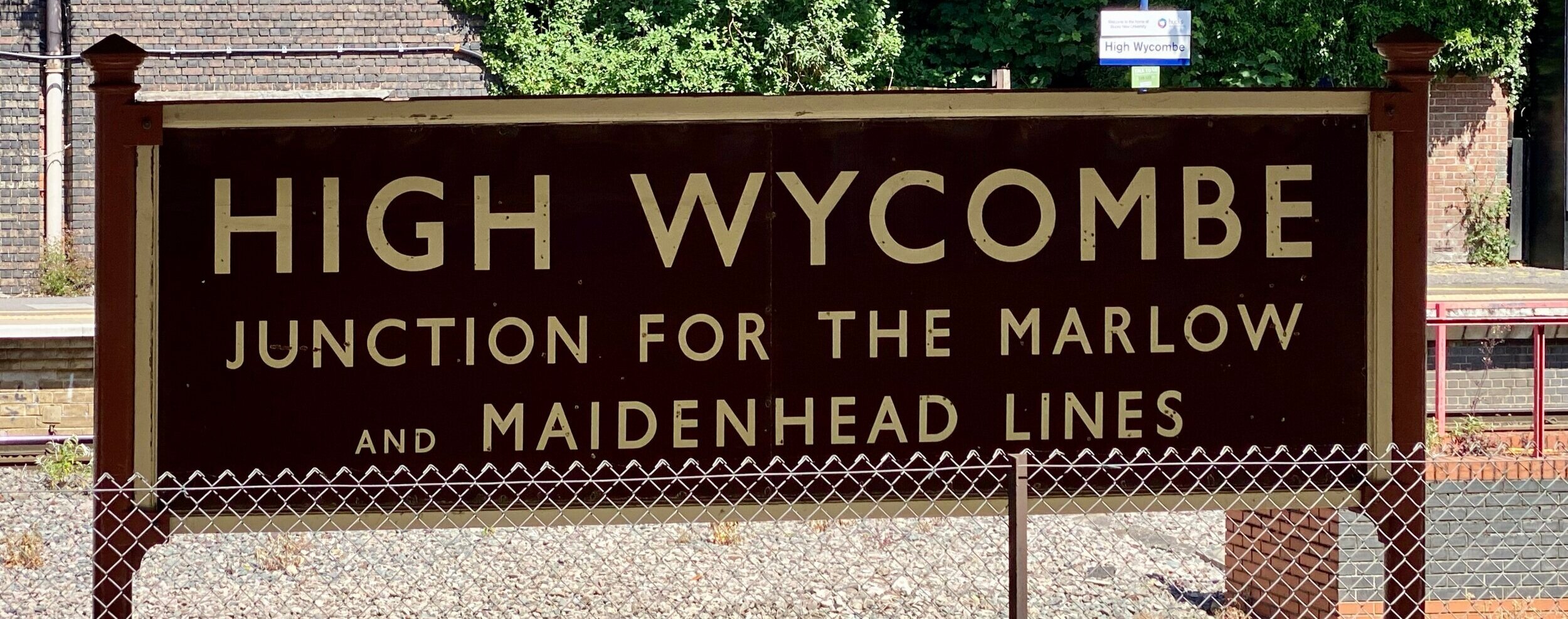
Start & Finish: Chorleywood Station, Chorleywood, Rickmansworth, WD3 5ND
Alternative Start and Finish: Parking at Chorleywood Common, WD3 5NZ
Distance: 8 km (5 miles)
Elevation change: + / - 85 m
GPX File: get via Buy Me a Coffee
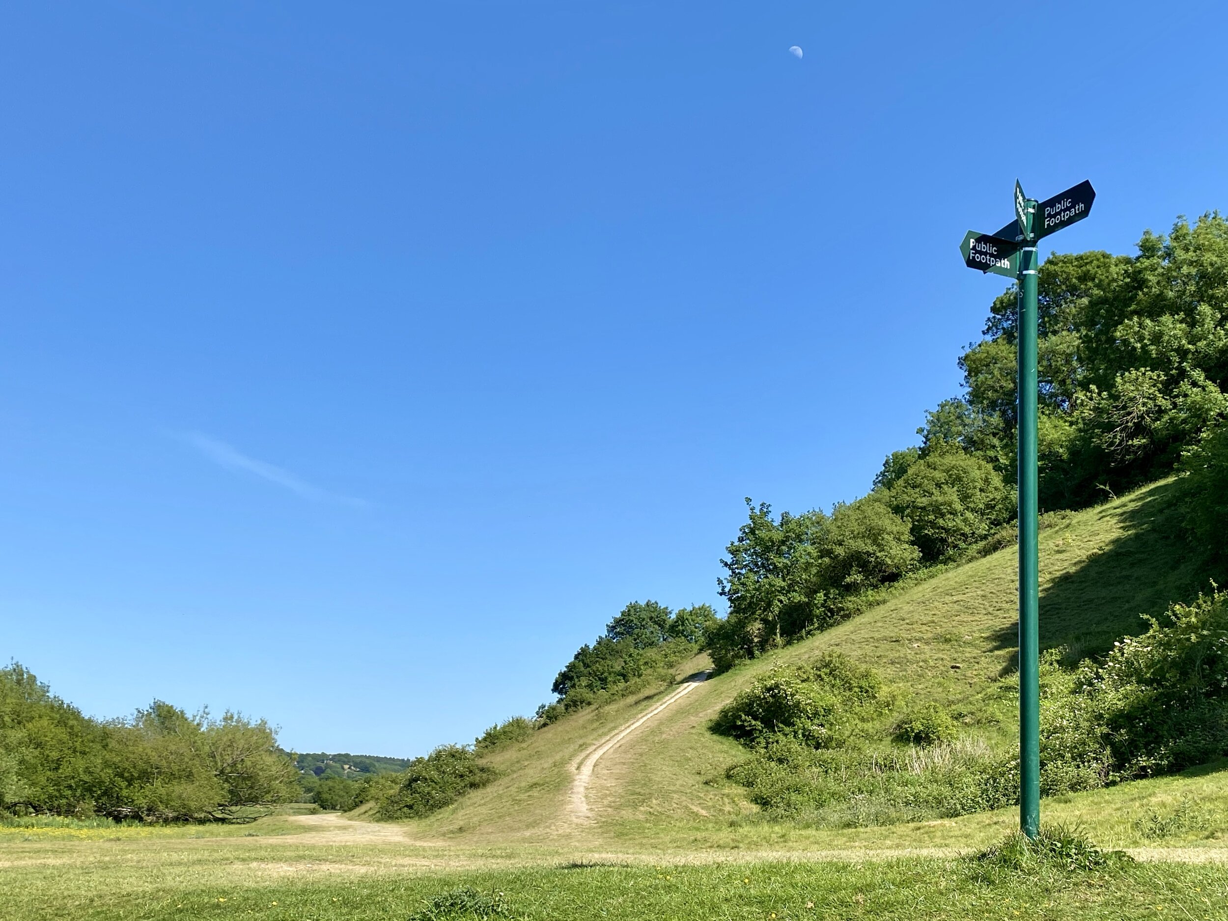
Other routes touched (walk): Chess Valley Walk, Chiltern Way, Chiltern Heritage Trail
Other routes touched (cycle): N/A
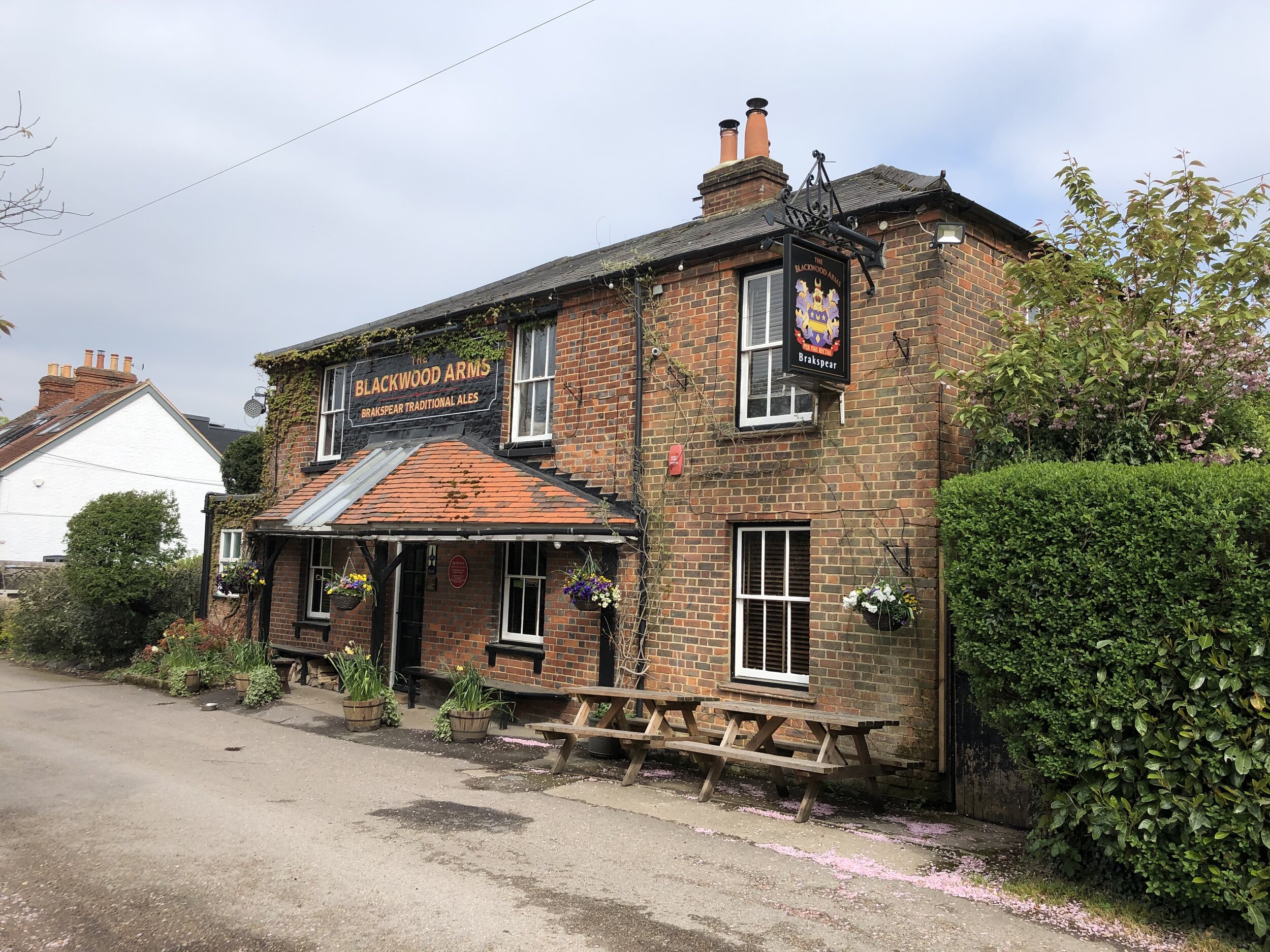
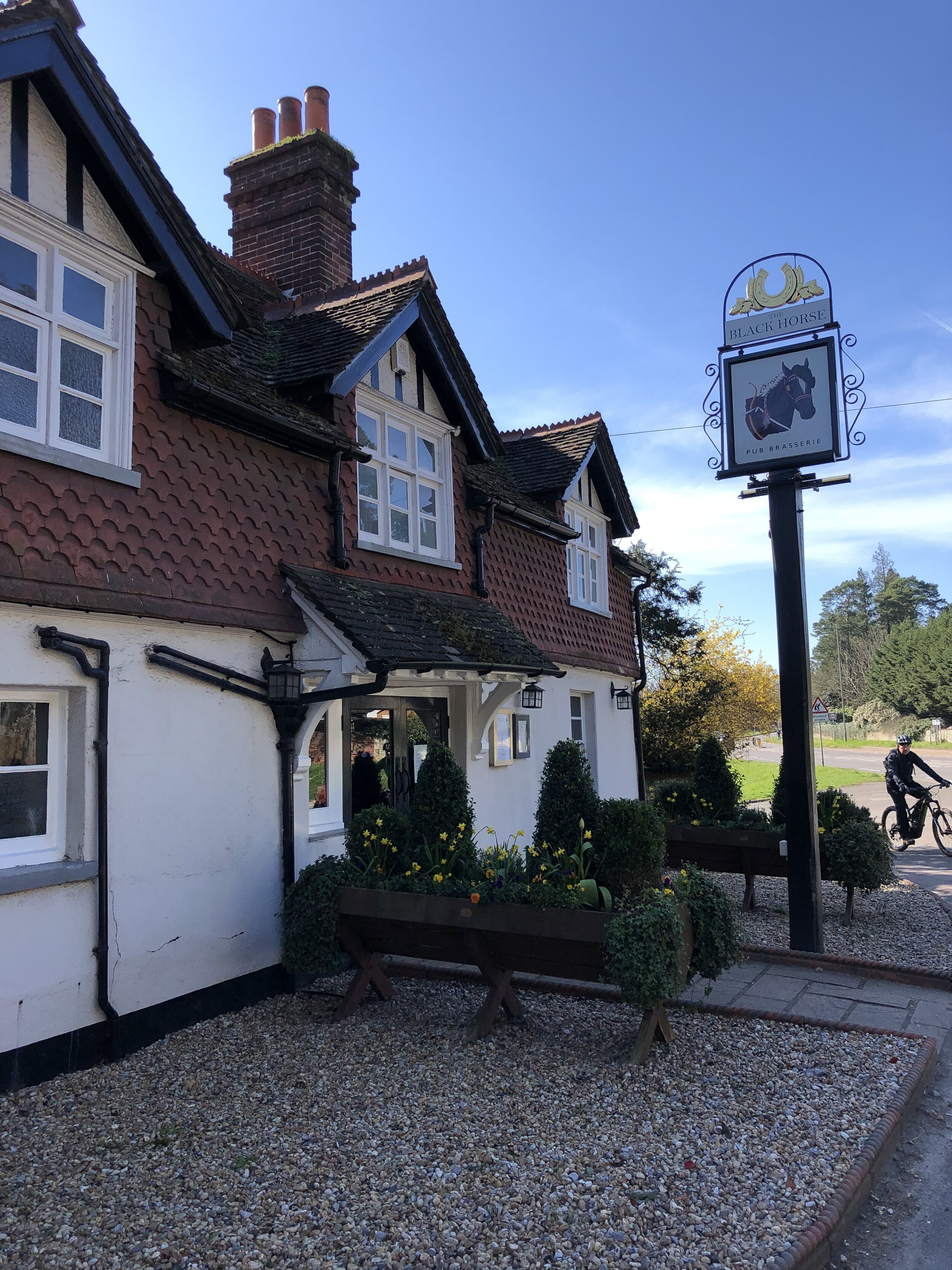
Pubs / Cafes on route: Black Horse Pub (WD3 5EG), several in Chorleywood Village Centre
Map: OS Explorer Map (172) Chiltern Hills East
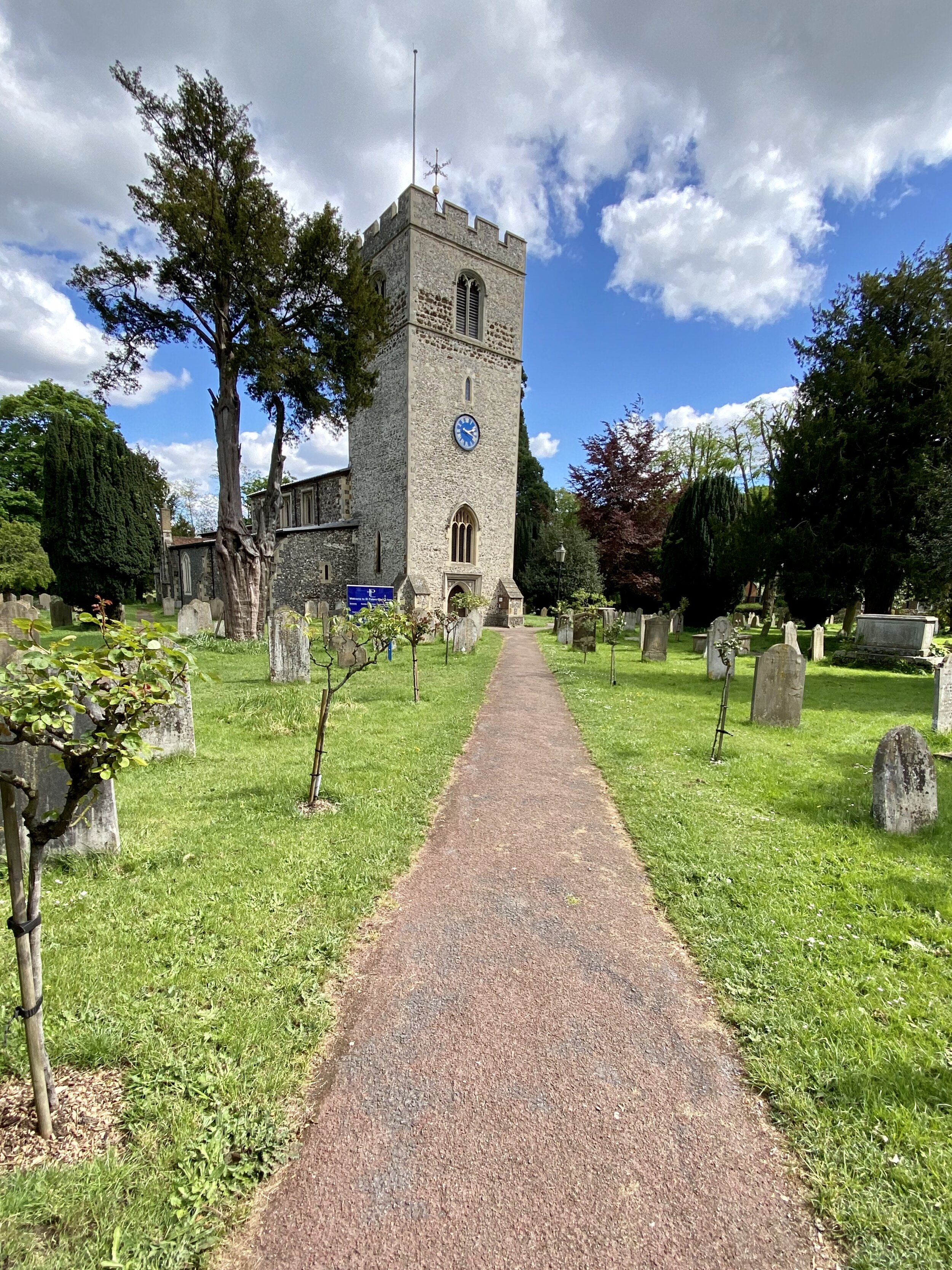
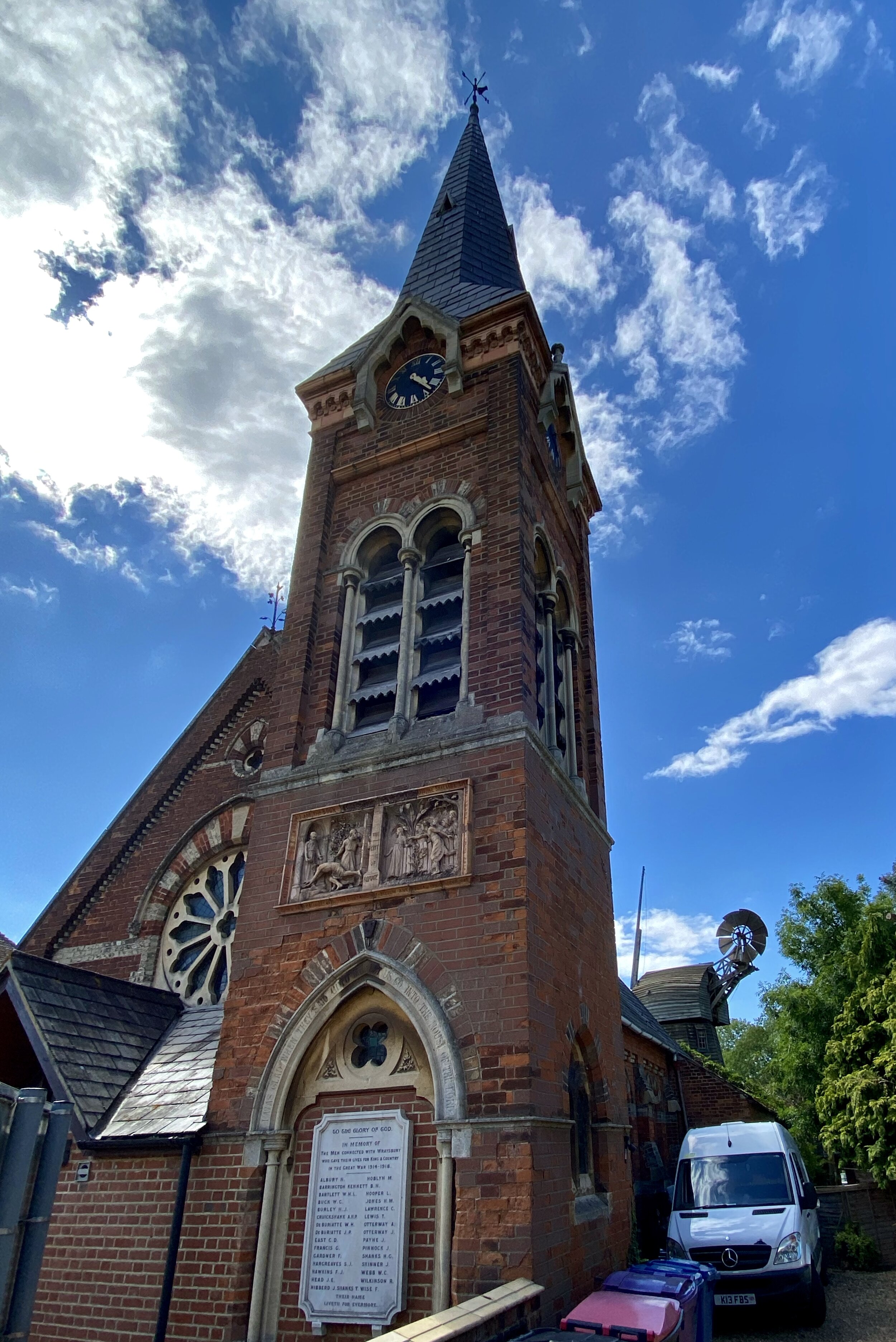
Links: Chorleywood, Chorleywood Station, River Chess, Chenies, Chenies Manor
This a lovely circular walk in the eastern Chilterns. I thought I’d invented it myself but I’ve been doing some research on Google and it seems that others have had pretty much the same idea. The guidance below will help you navigate but don’t use it as a fully accurate turn-by-turn guide. Always take a map and/or a GPX route and prepare well for the weather and terrain.
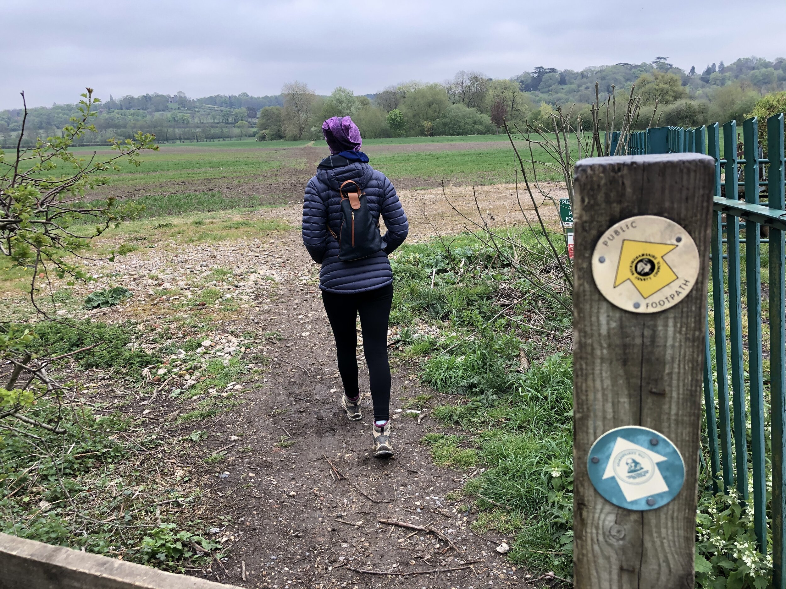
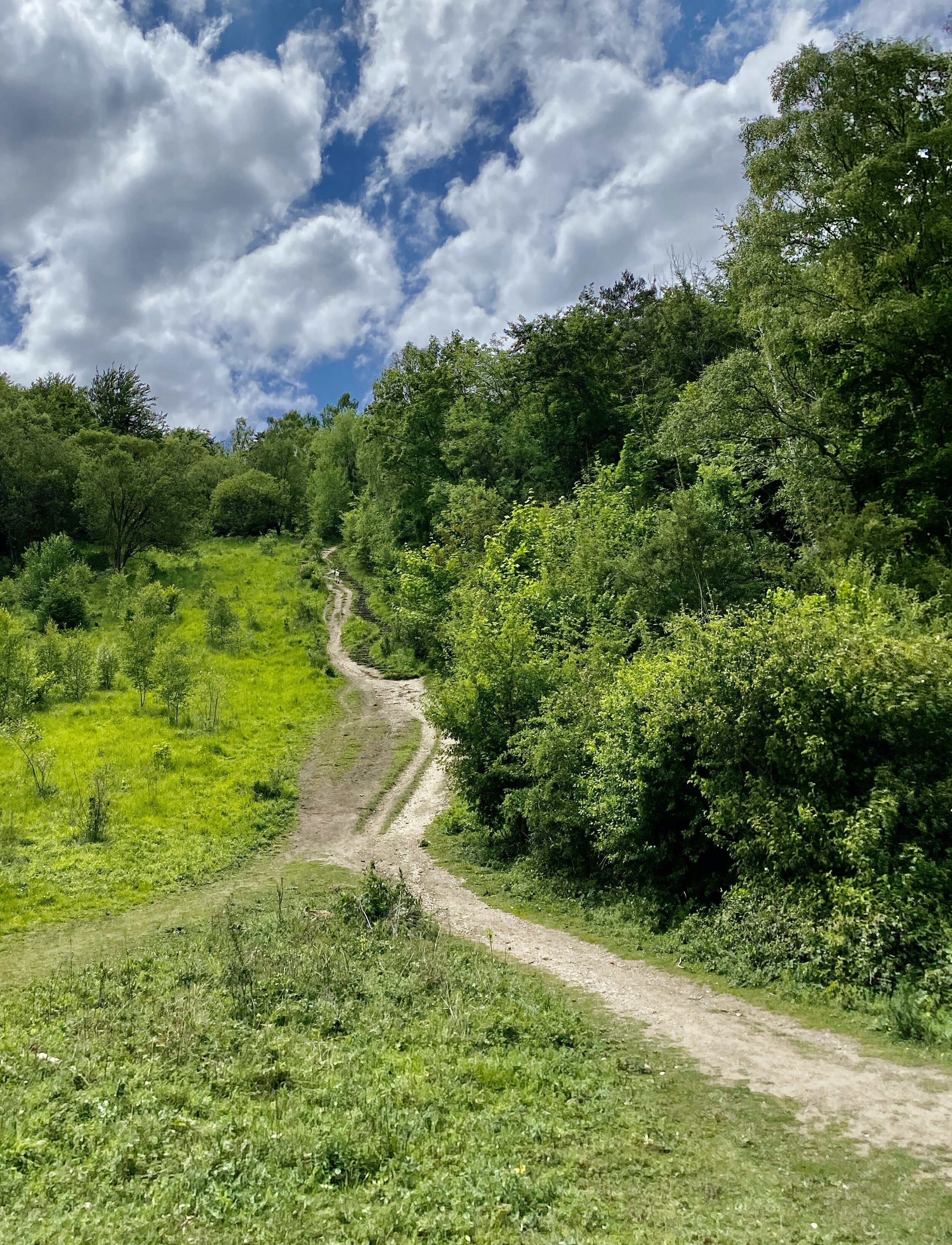
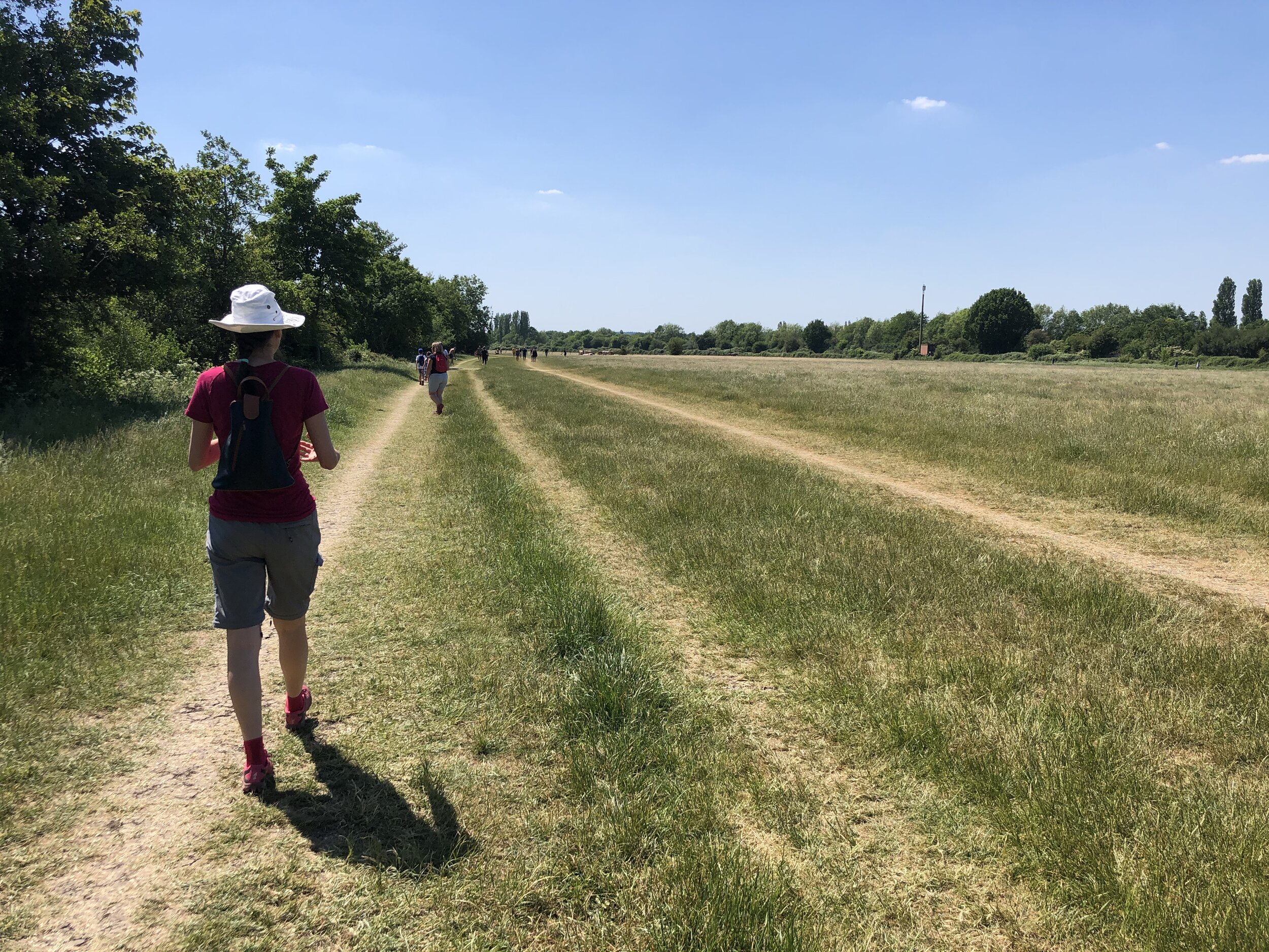
We parked at one of a few free parking spots at Chorleywood Common. It’s also very accessible by train & Underground as Chorleywood Station is on the route and very close to where we started. Start by taking a north easterly route across the Common to the A404 Rickmansworth Road and cross over to the petrol station. Continue north east along Solesbridge Lane. Be careful here as its a country lane with no pavement. Its fairly quiet but you’ll probably need to duck into some of the driveways a cars pass. Shortly after passing Wyatt’s Road on the right, take a left onto the Chess Valley Walk.
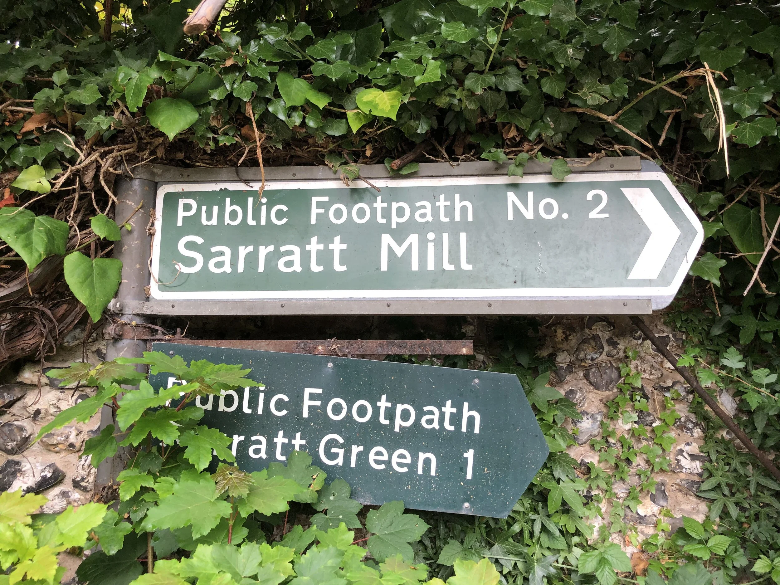
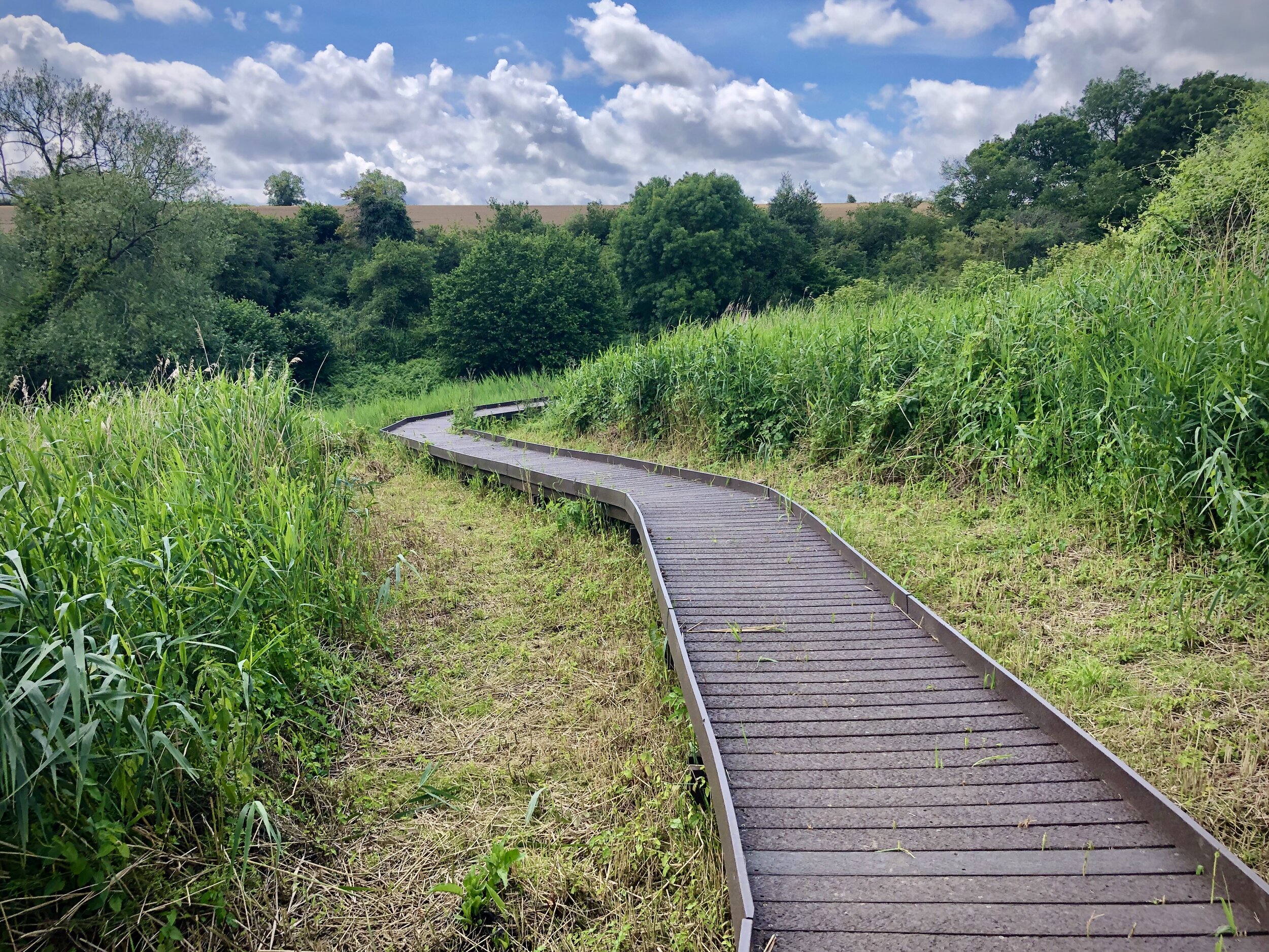
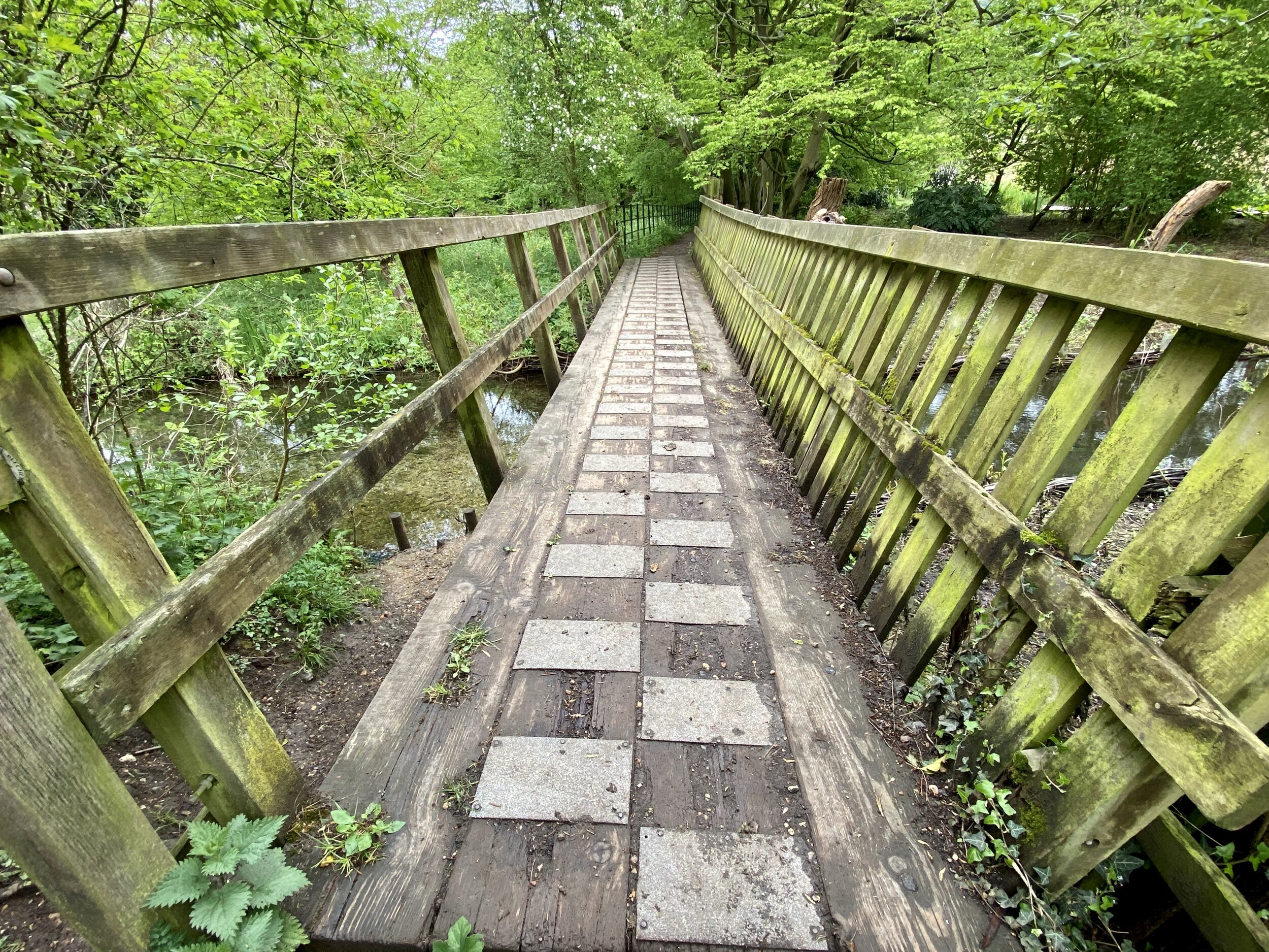
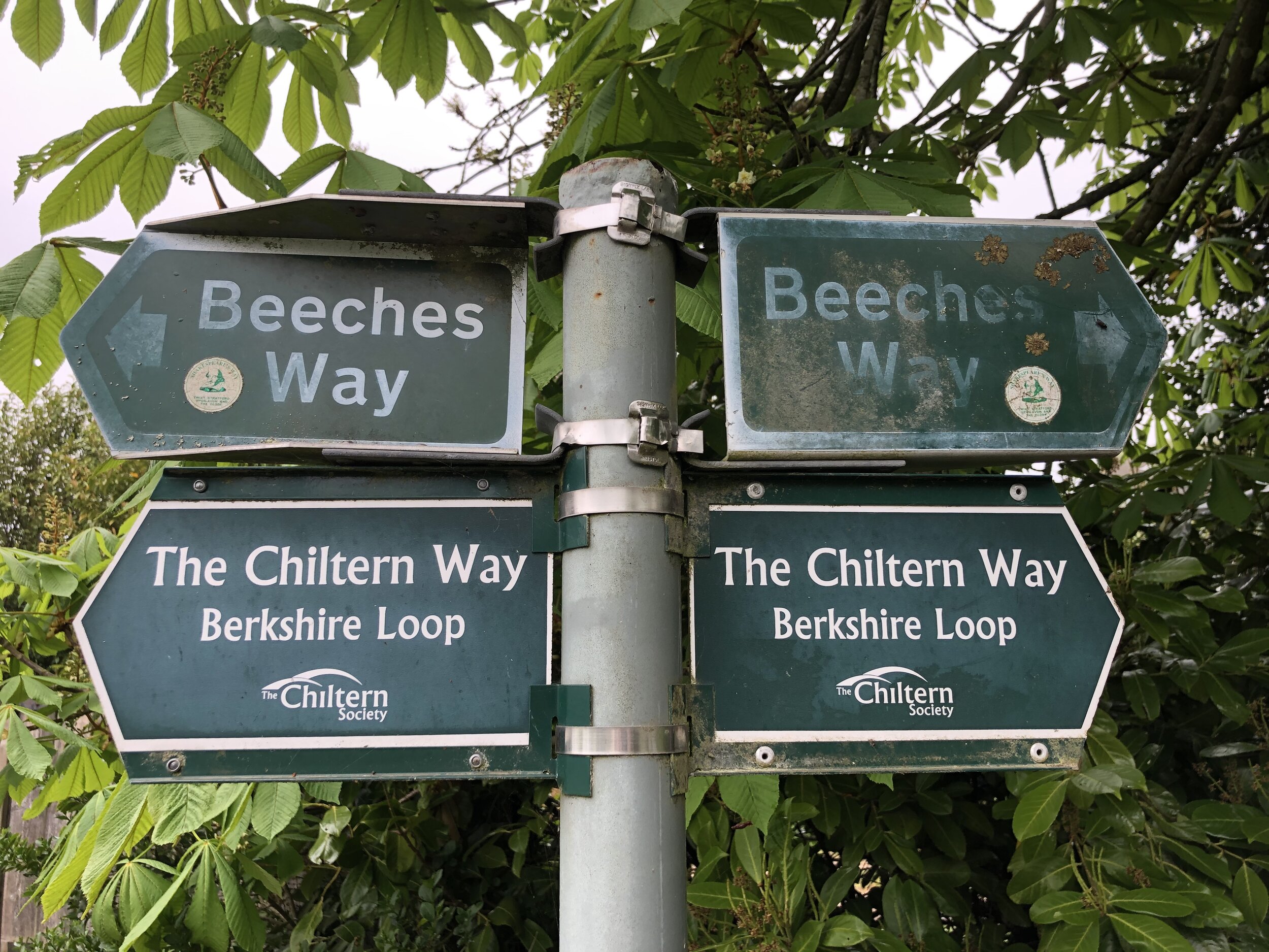
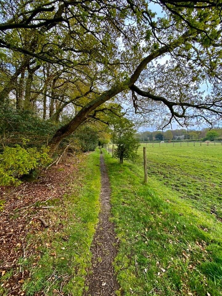
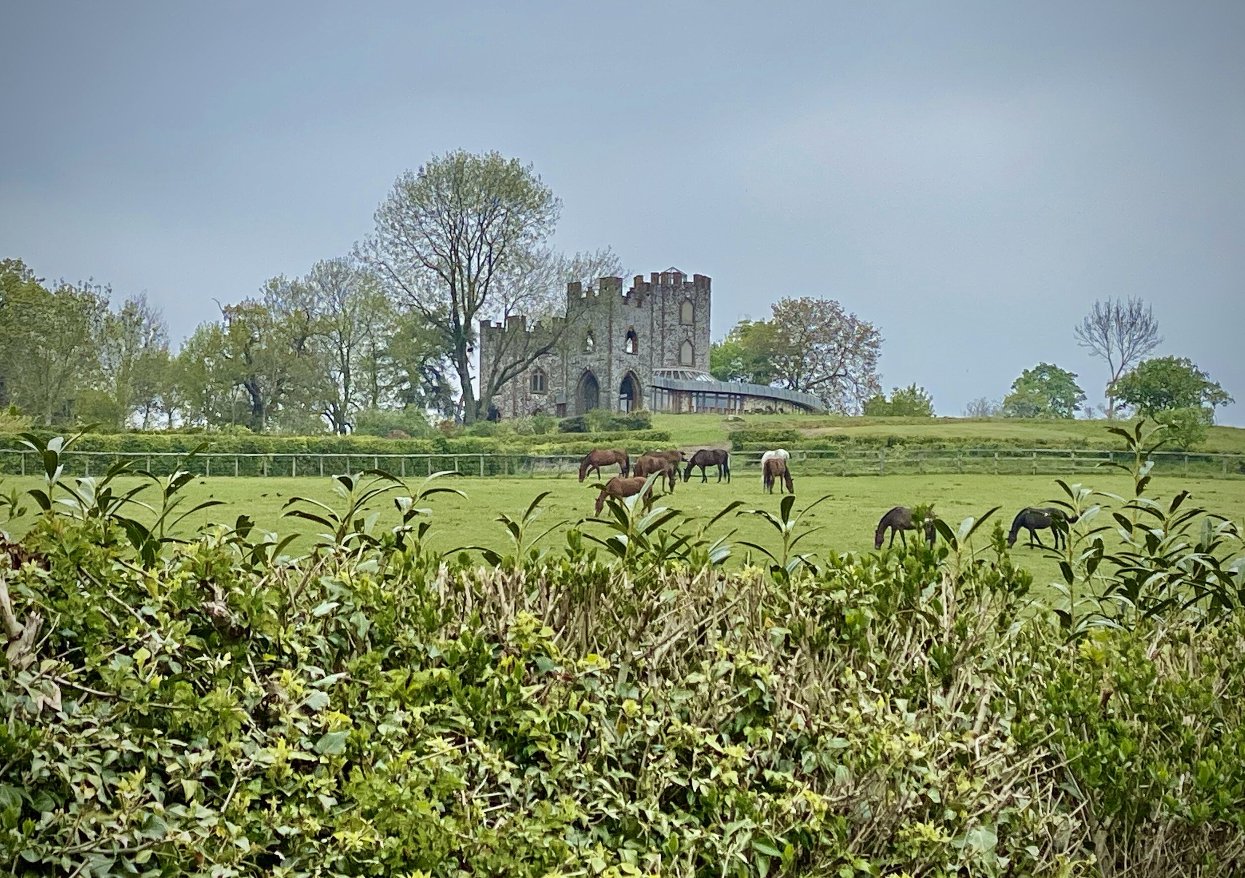
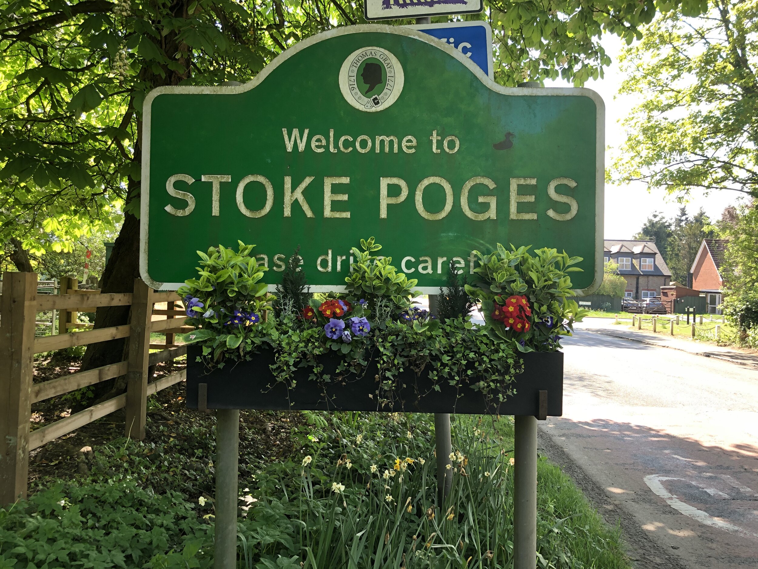
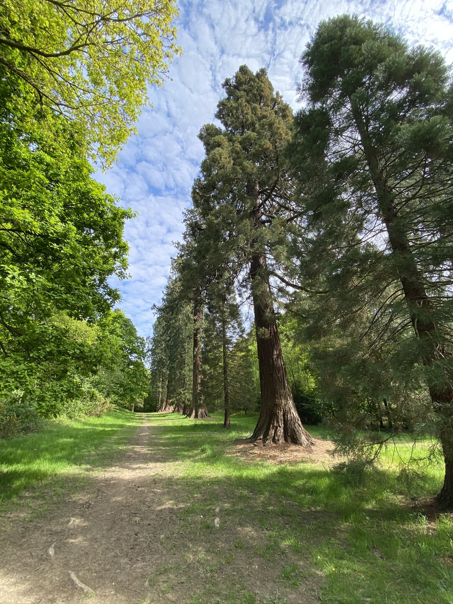
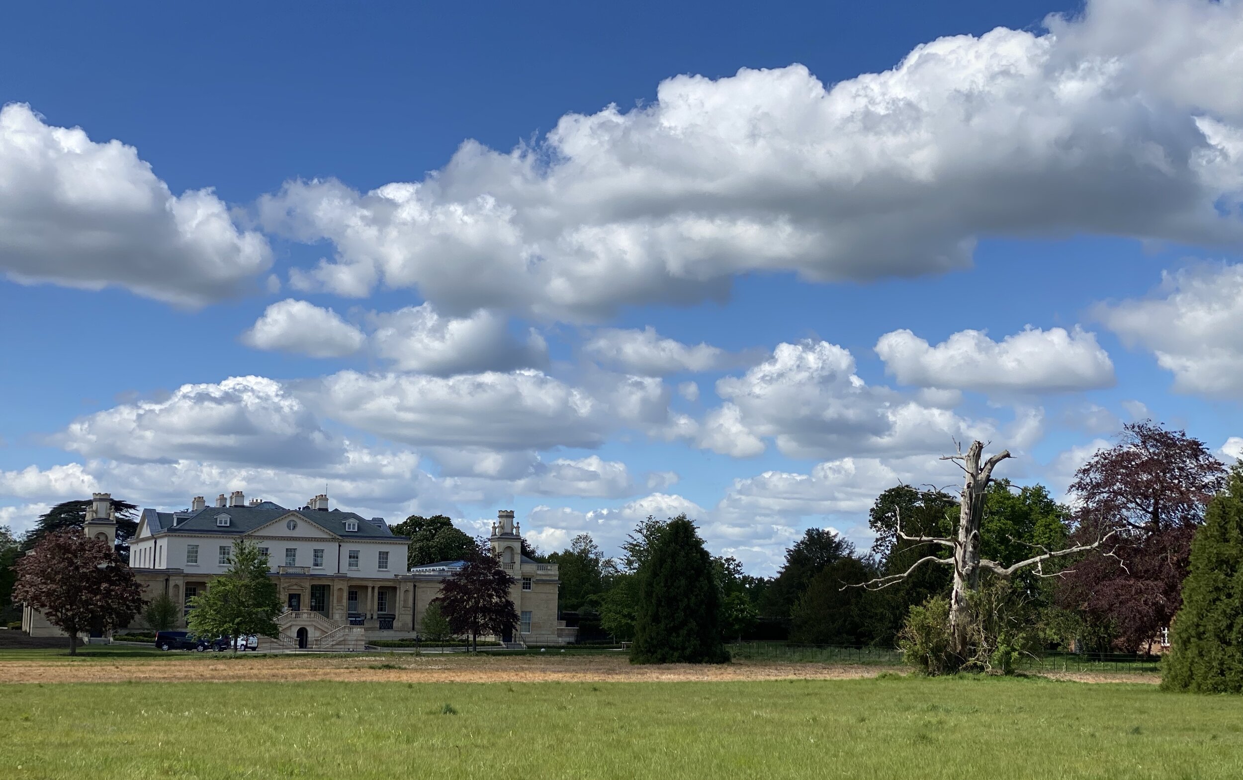
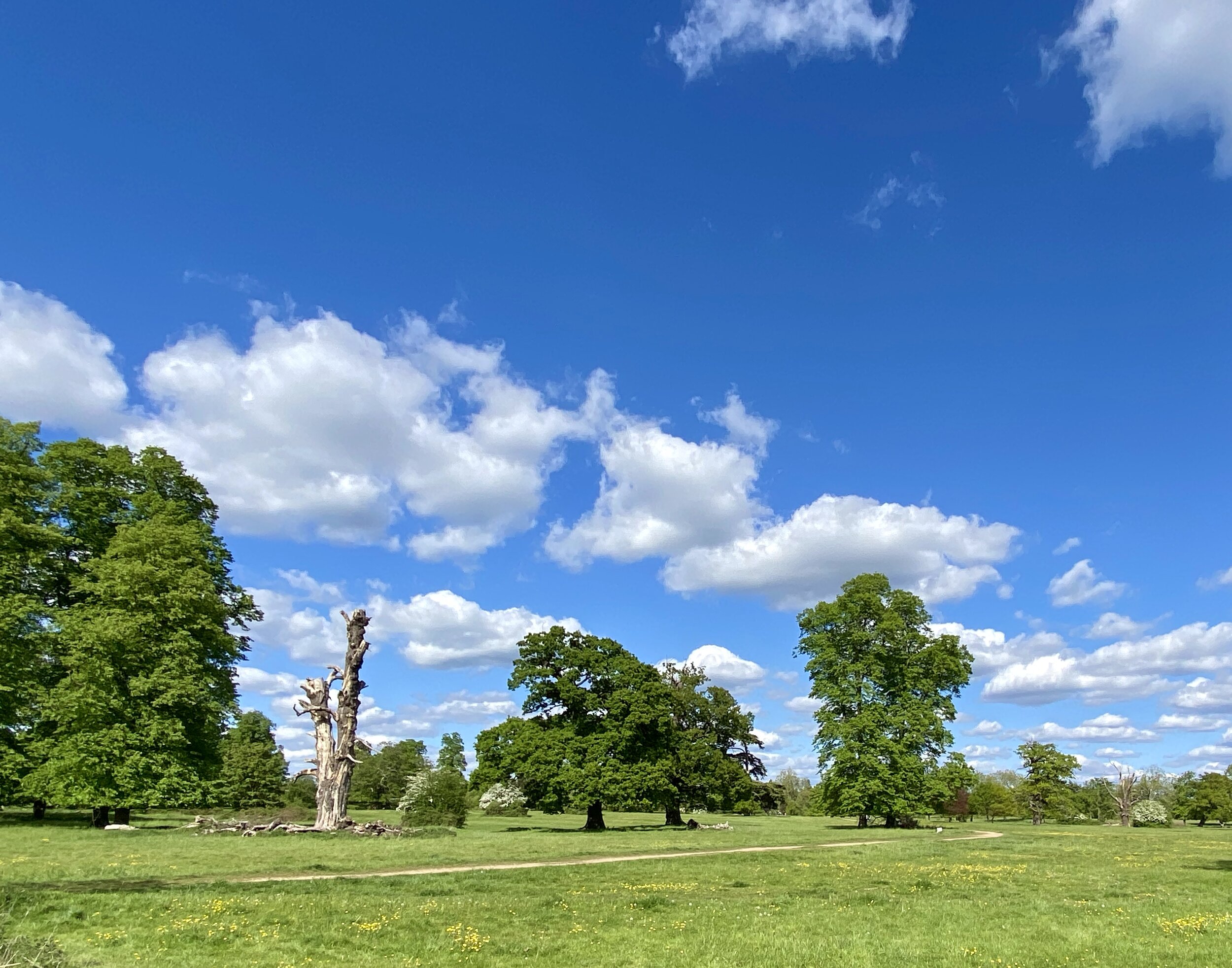
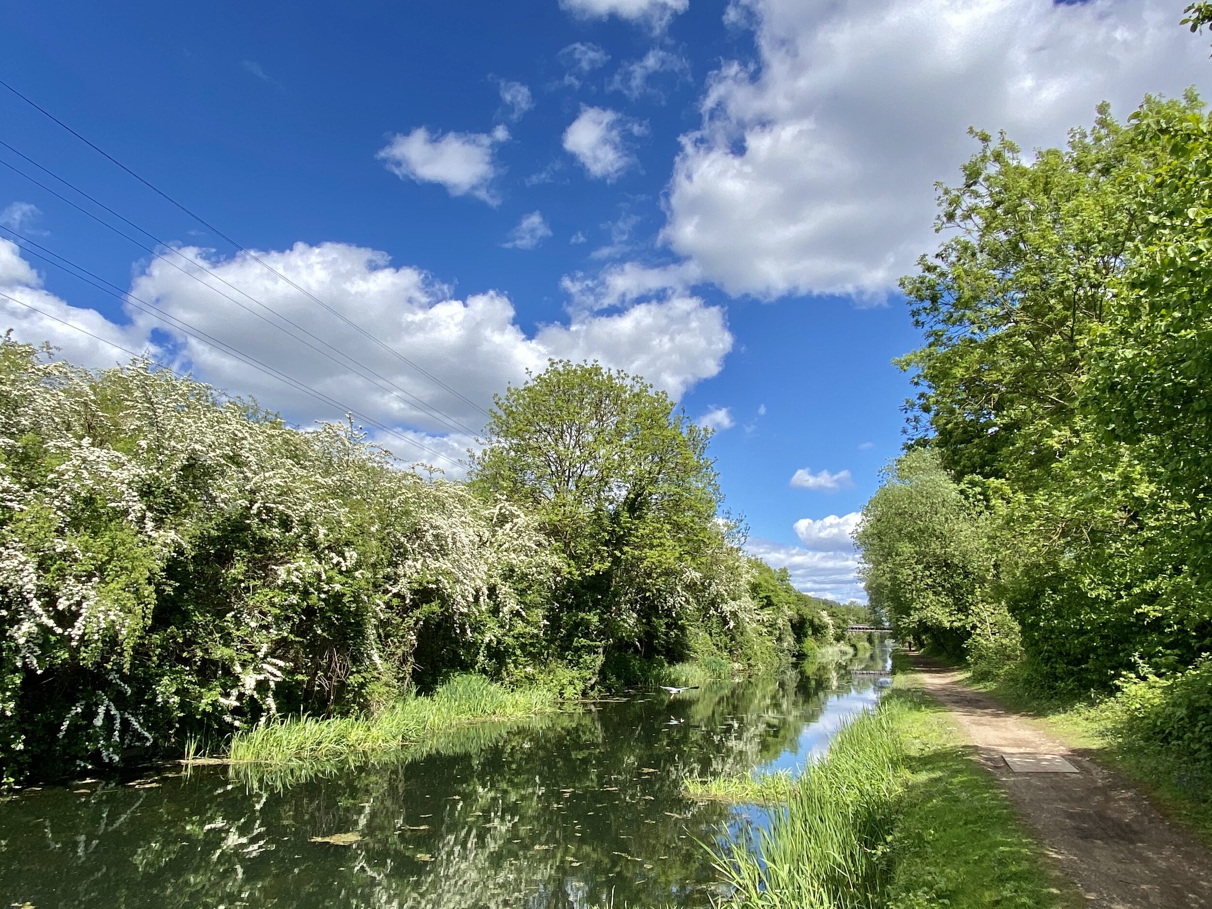
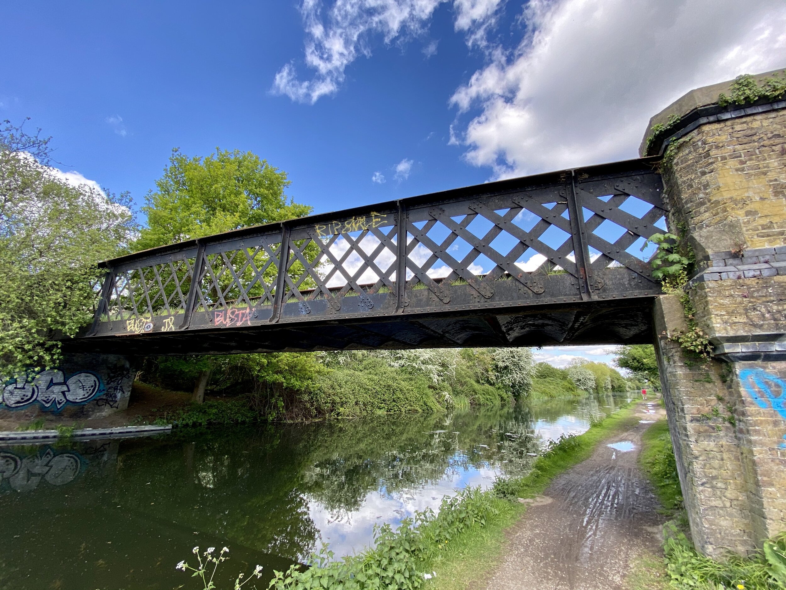
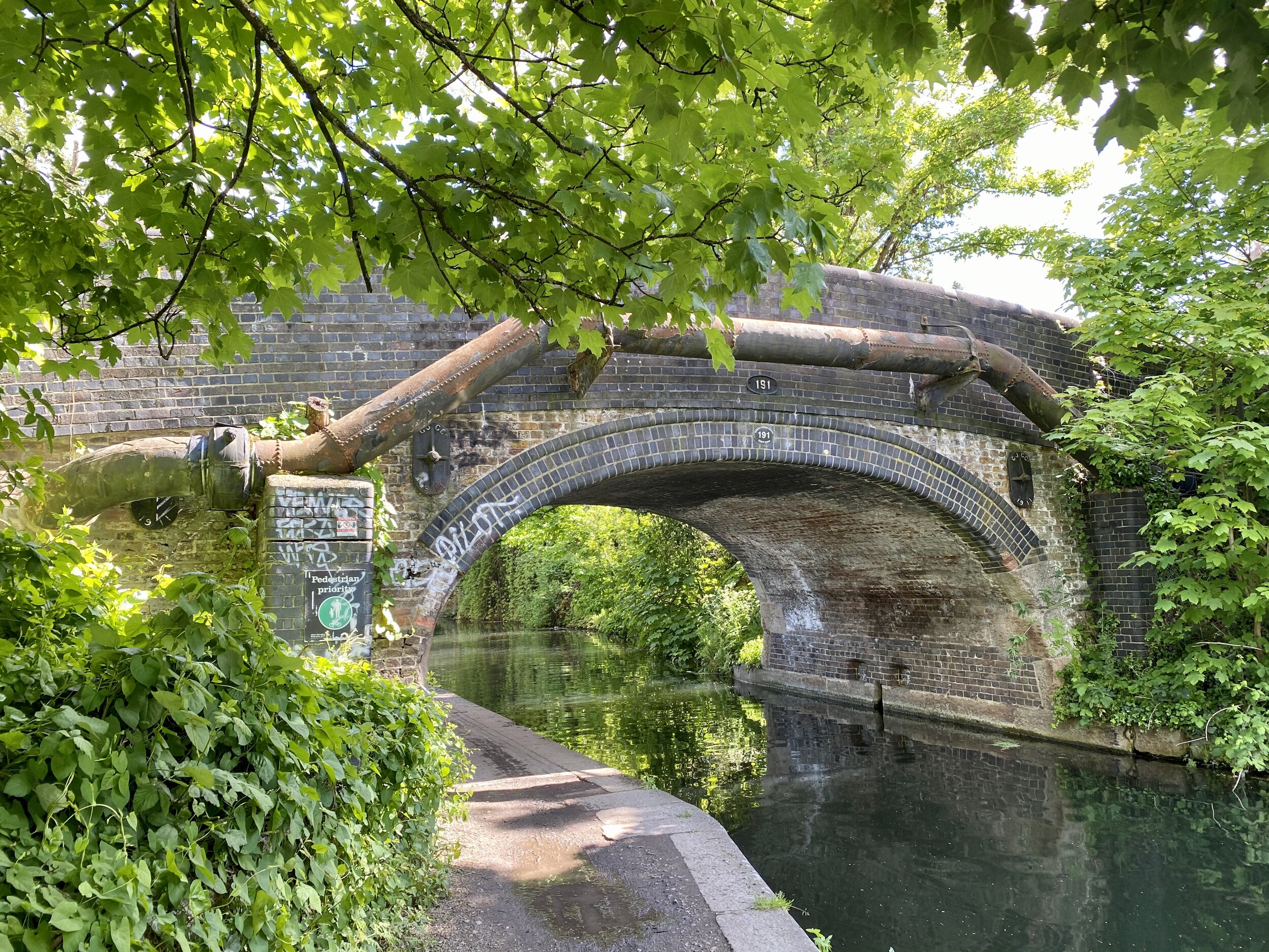
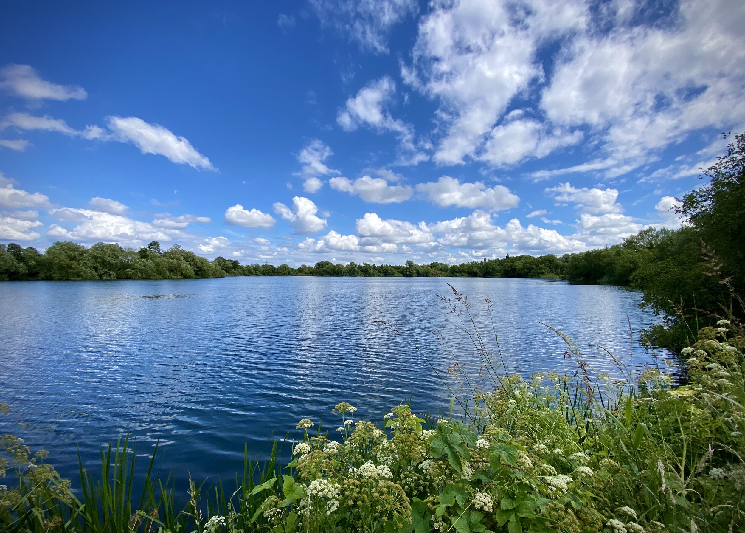
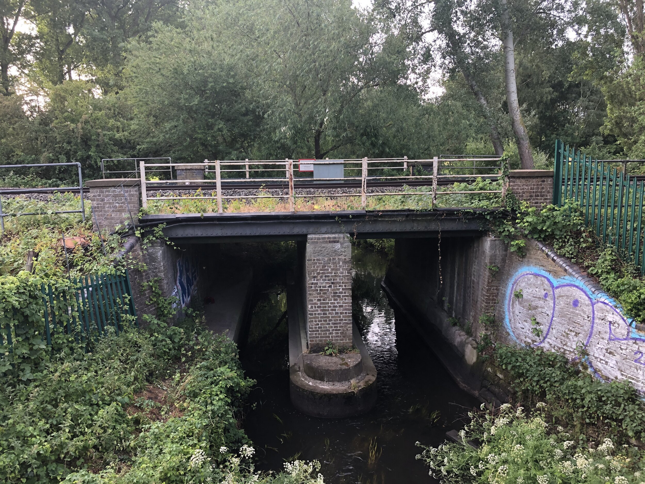
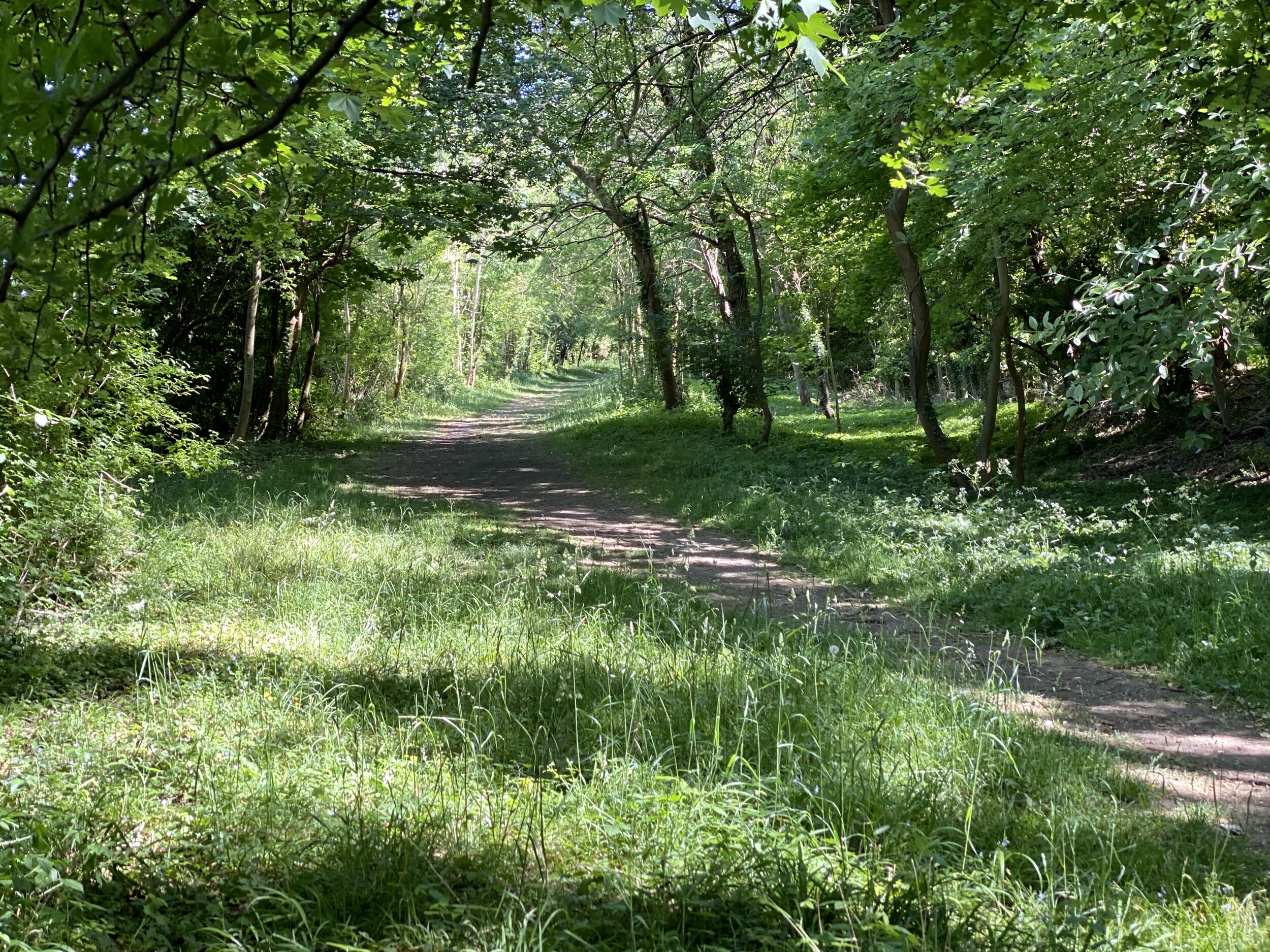
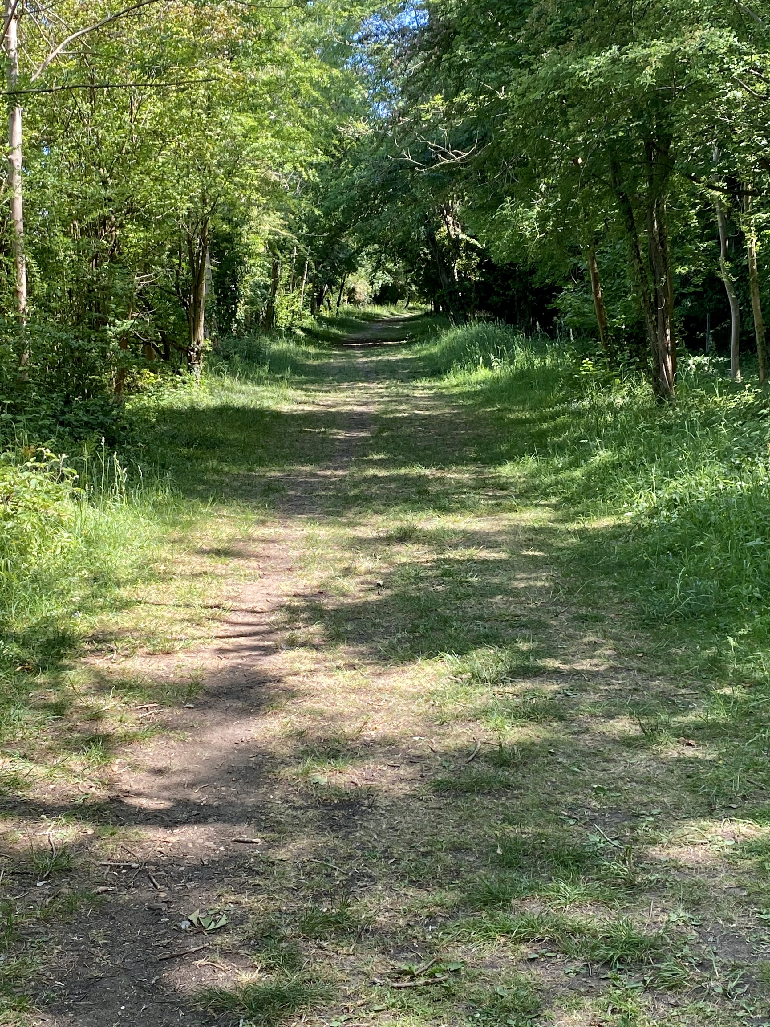
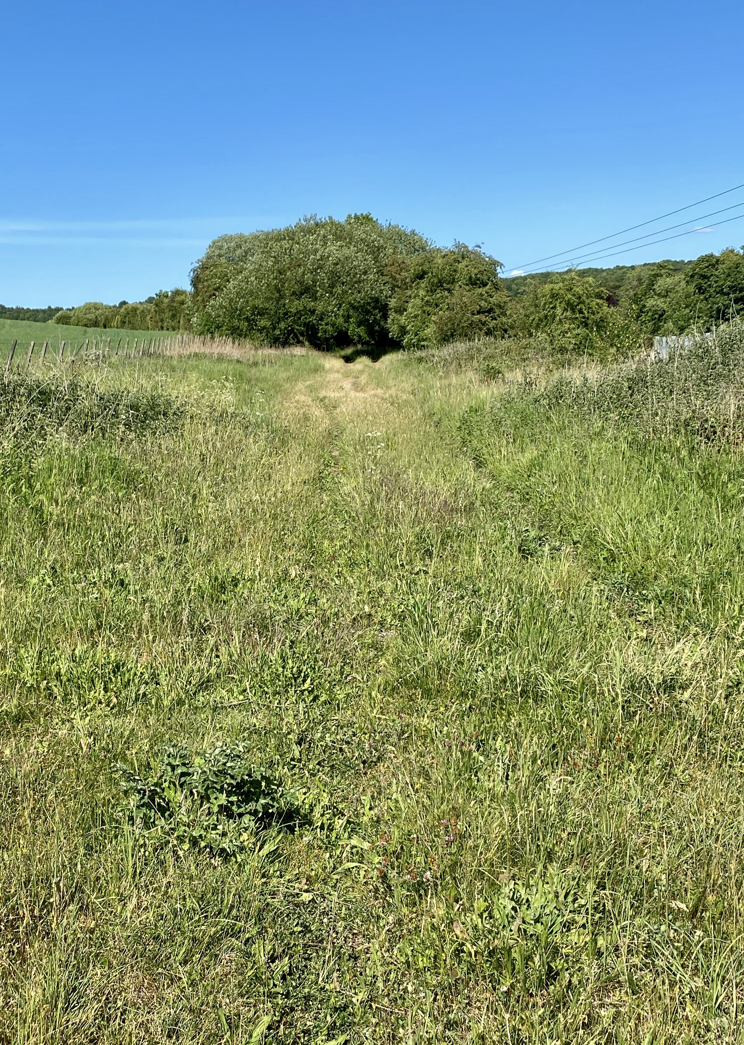
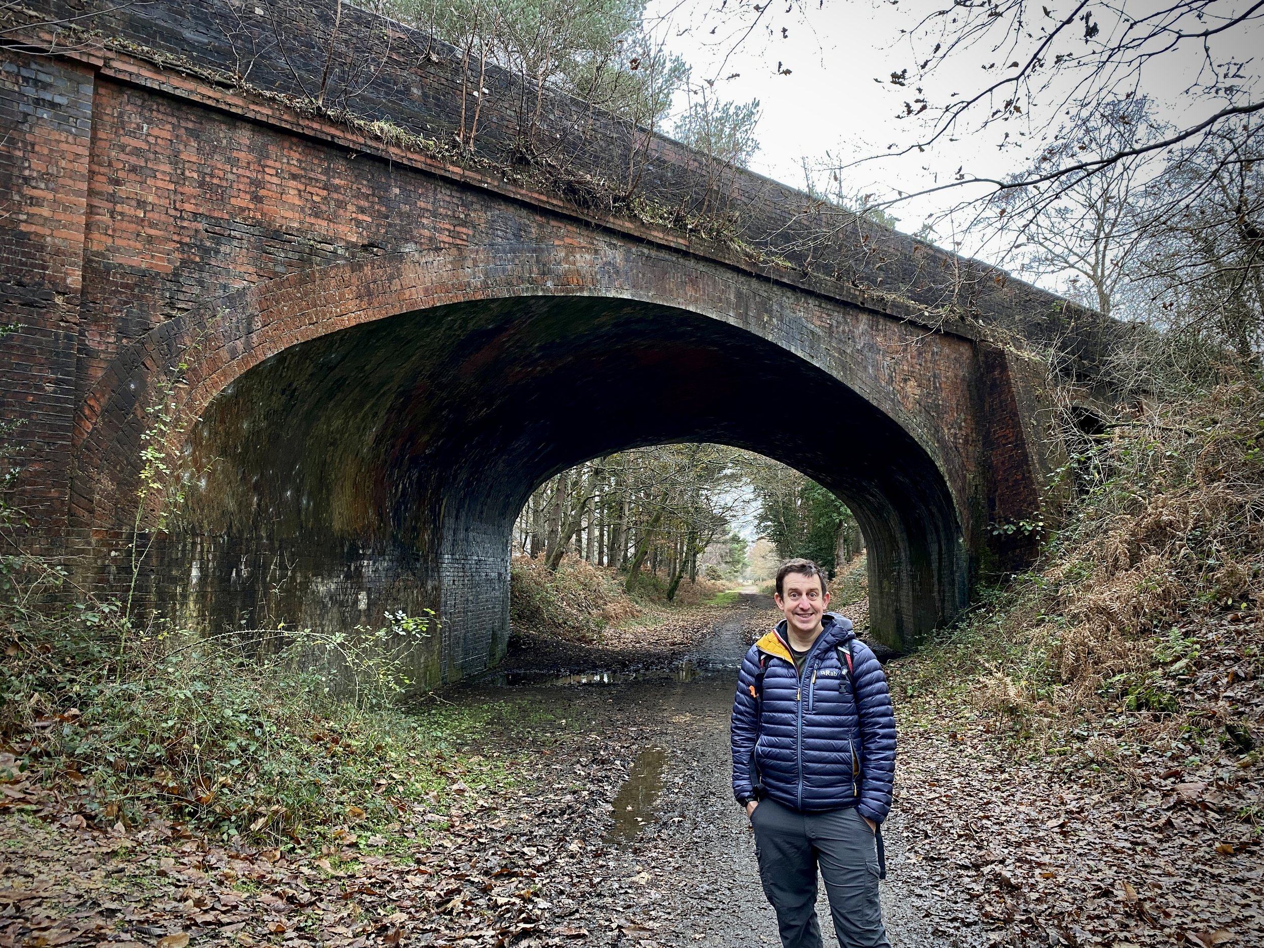
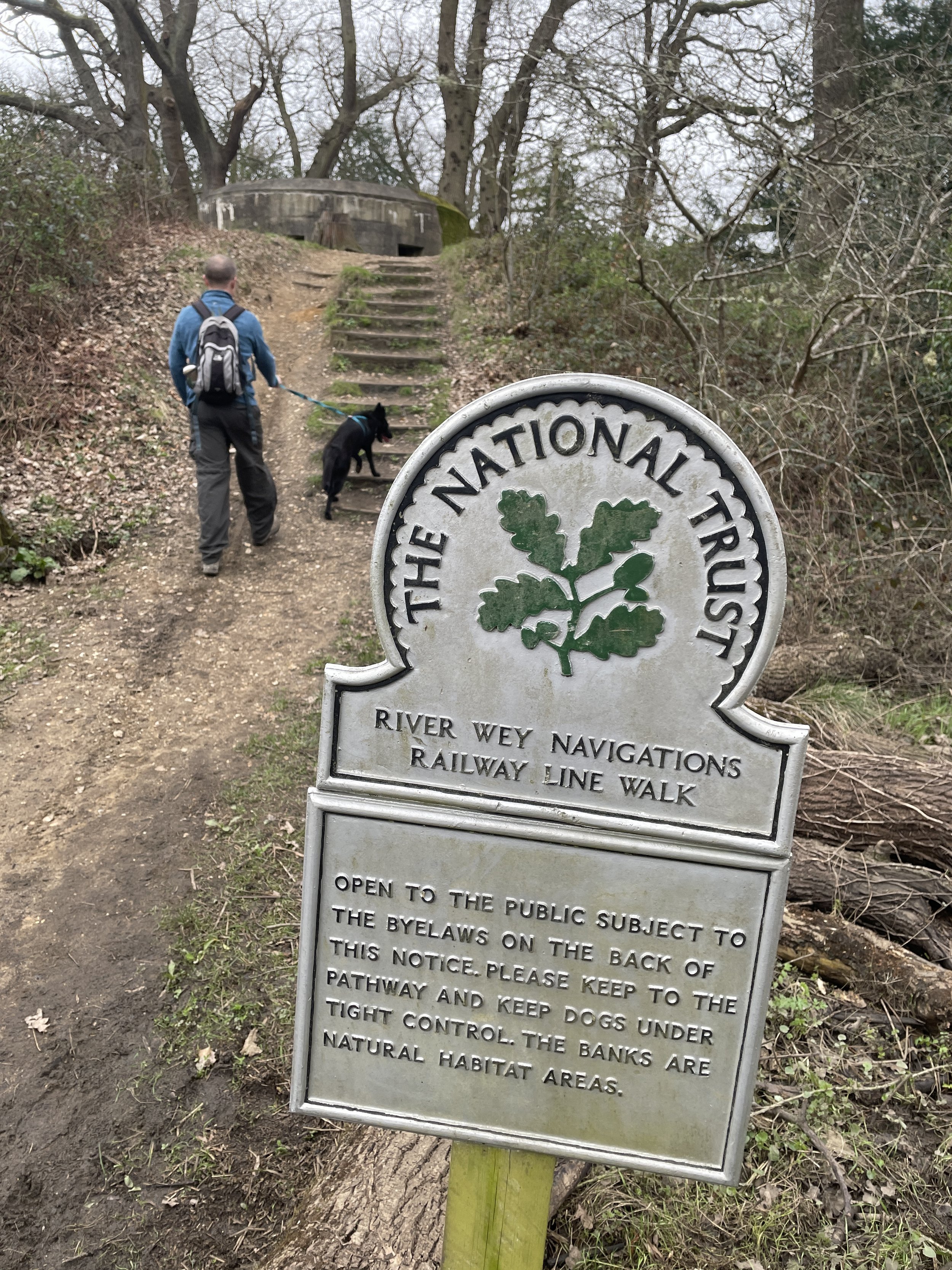
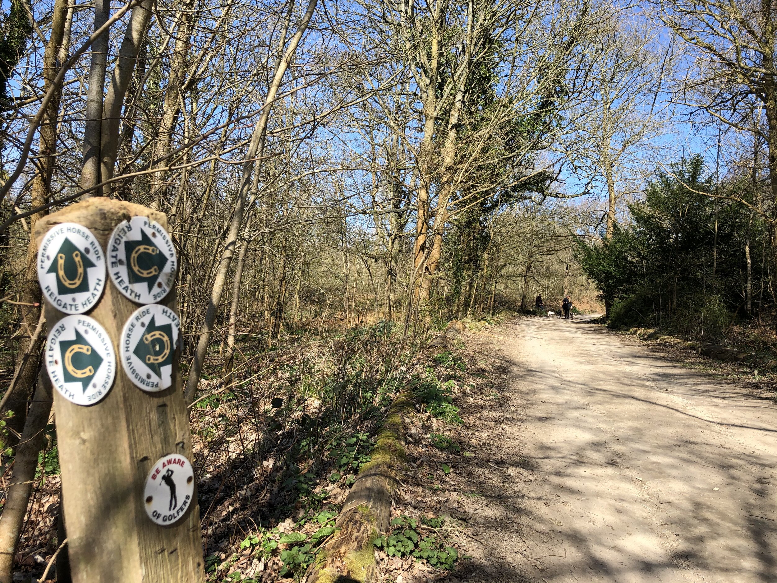
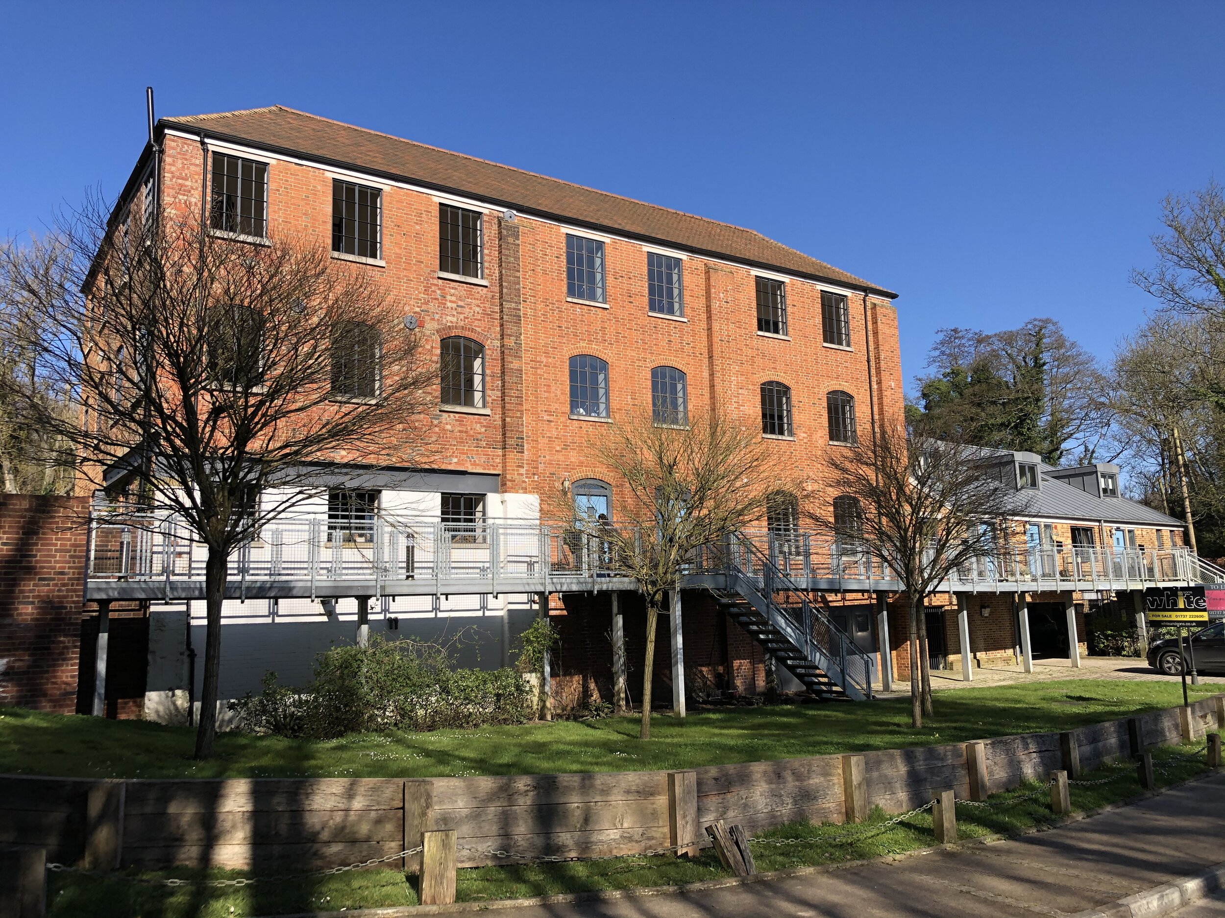
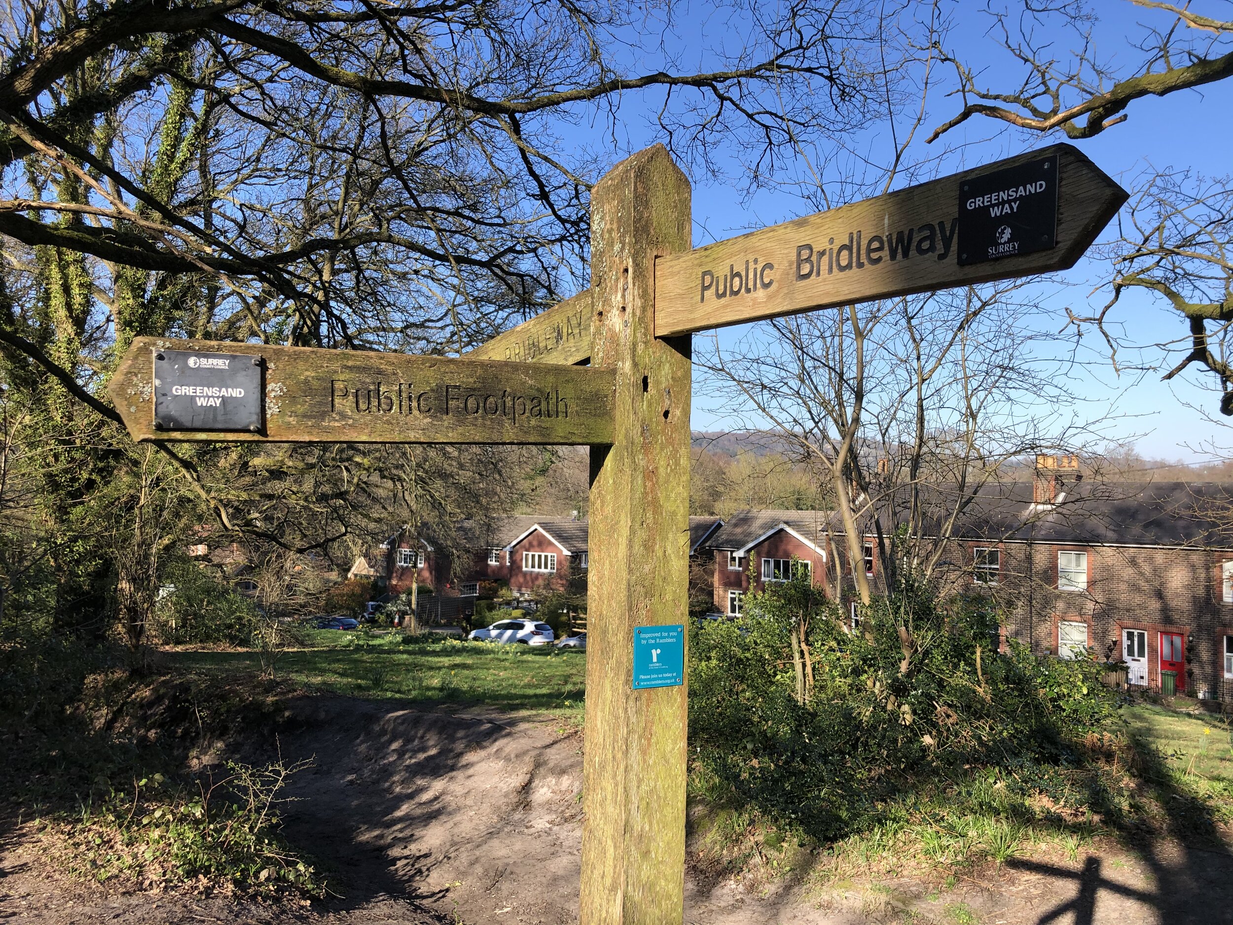
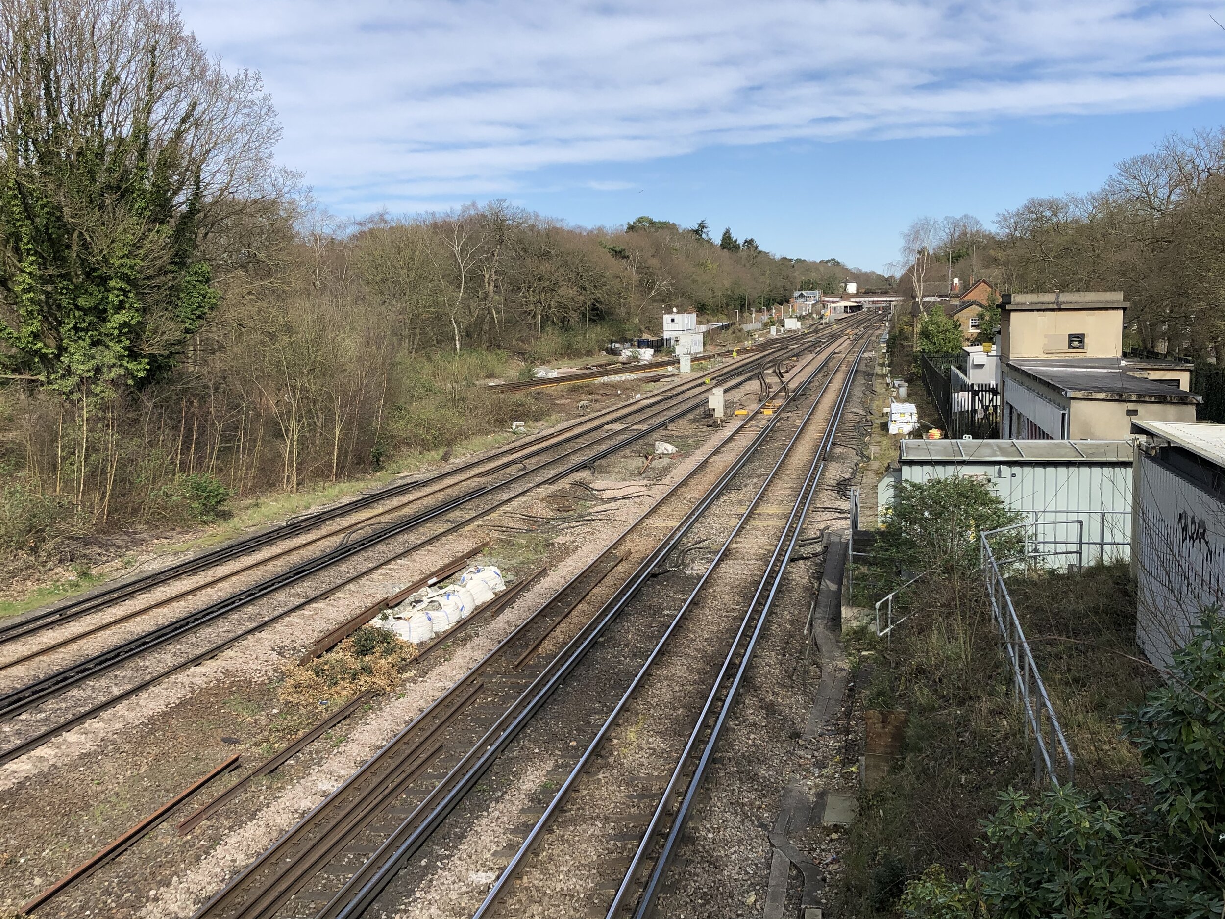
From Solesbridge Lane continue in a North-Westerly direction with the Chess on your right until you reach the Chiltern Way. There’s an option about half way along to cross over the Chess and follow the Chess Valley Walk on the northern side, crossing back over via the Chiltern Way. Follow the Chiltern Way south West for ~2.5km until you cross under the railway line at Carpenter’s Wood. You’ll have passed the southern edge of Chenies village and over the A404 again on the way.
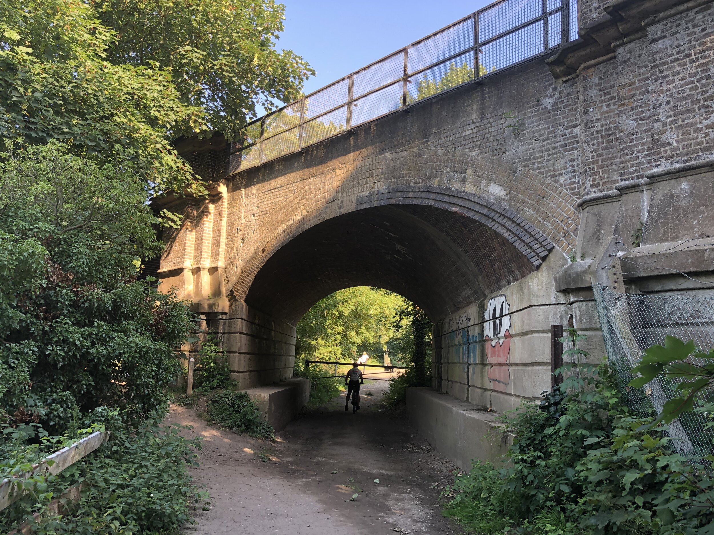
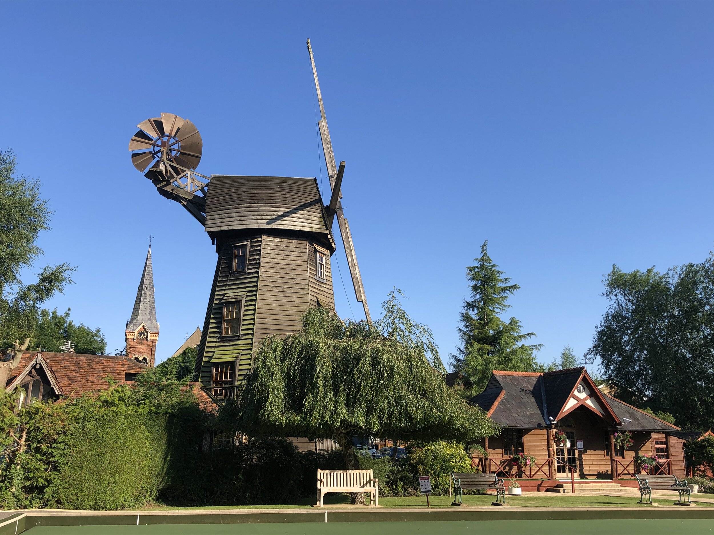
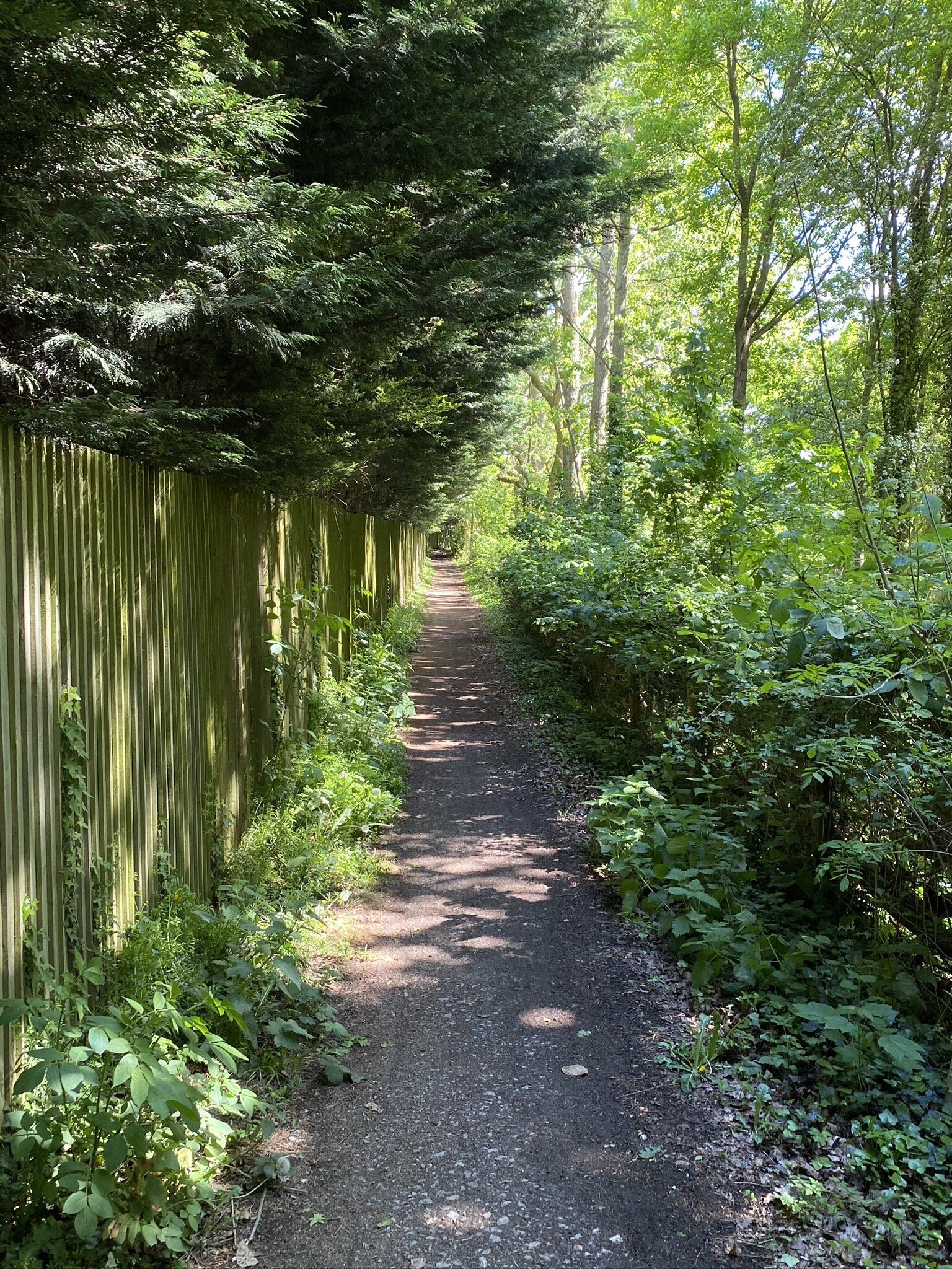
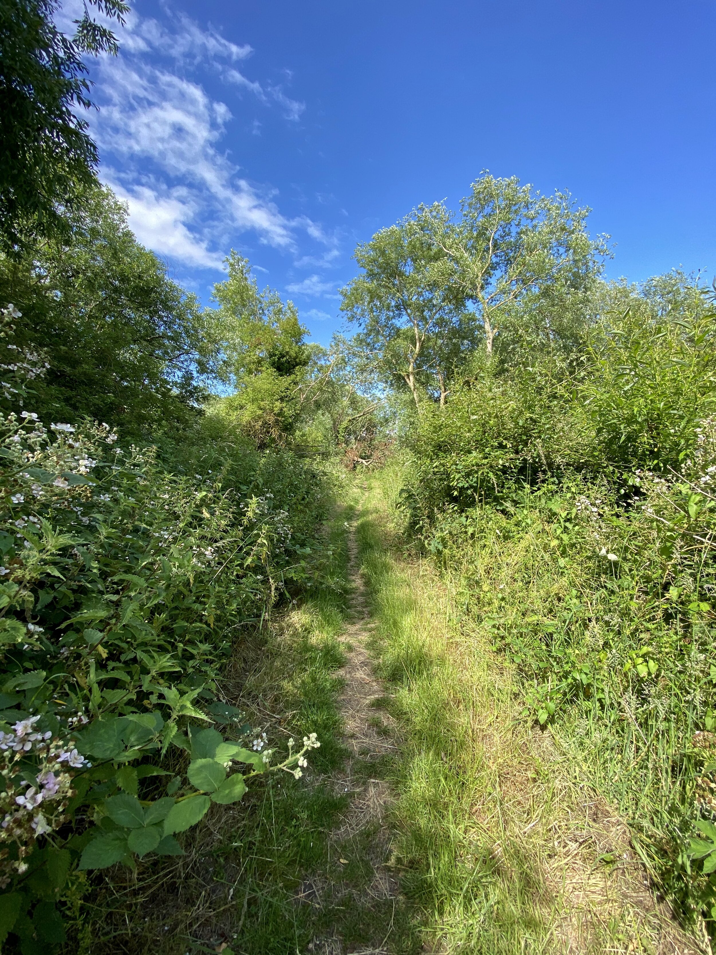
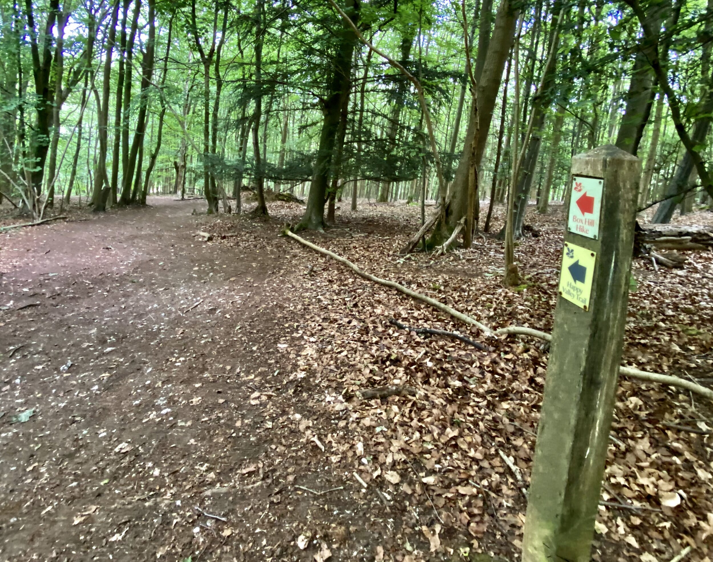
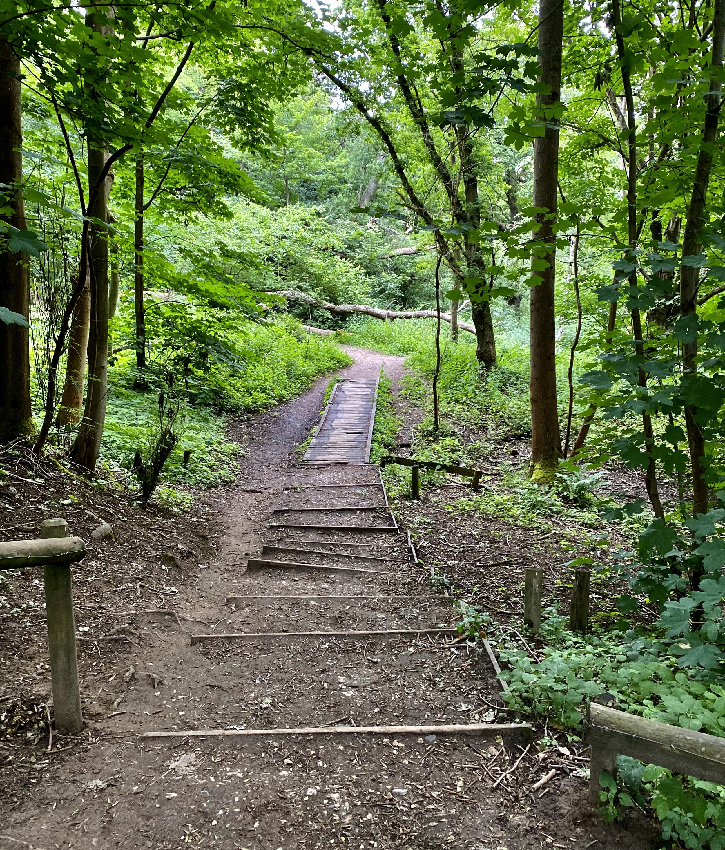
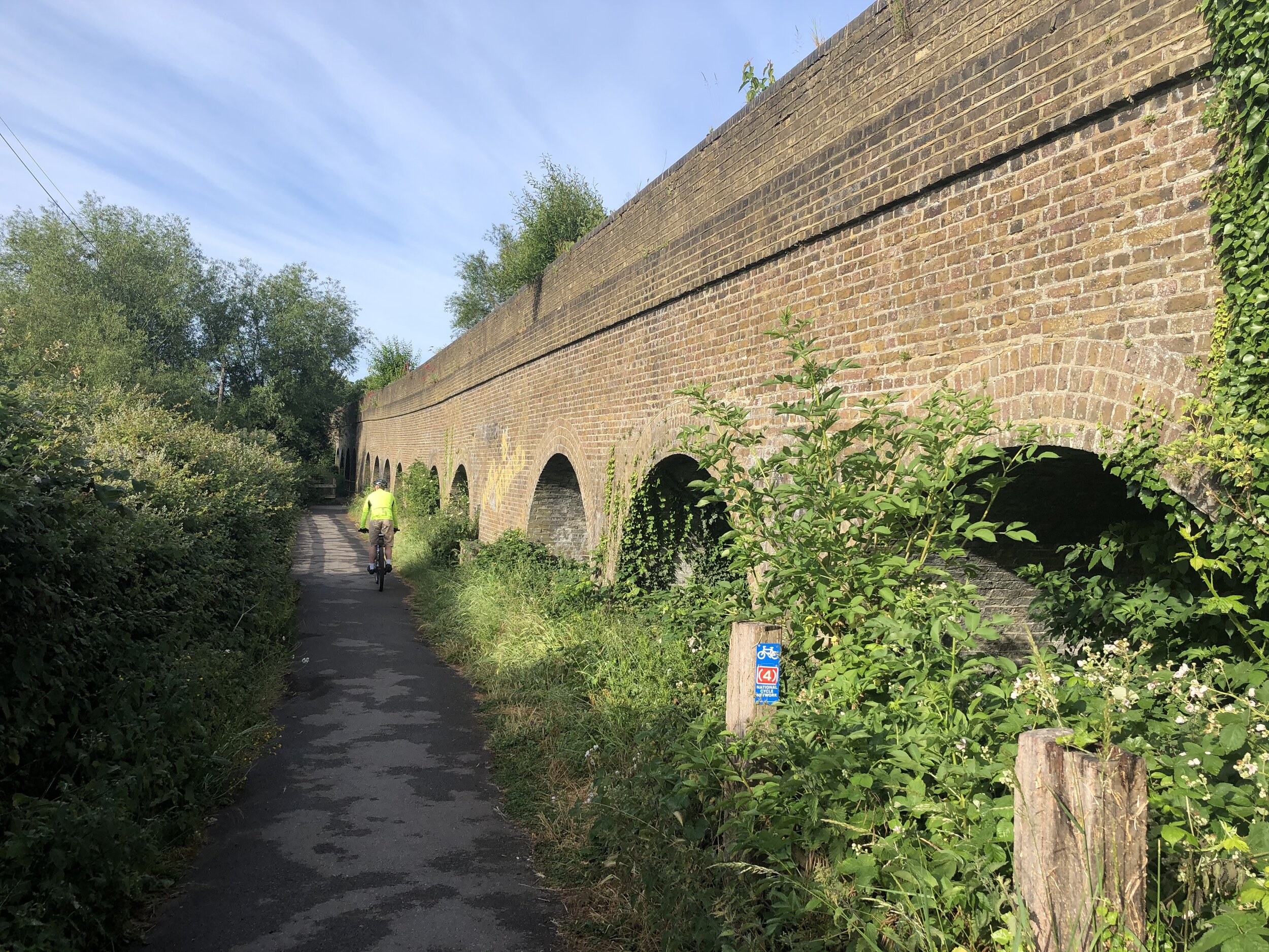
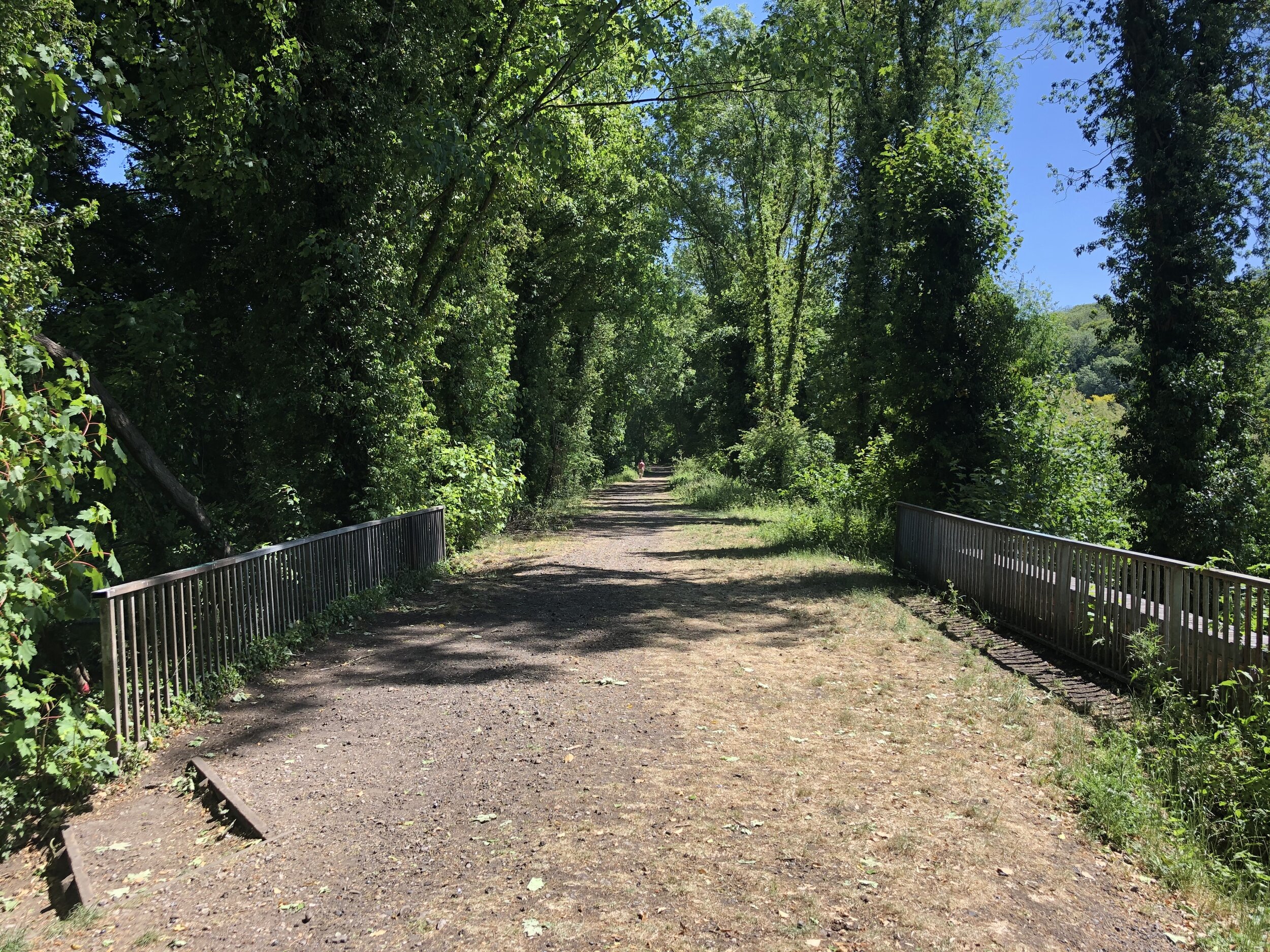
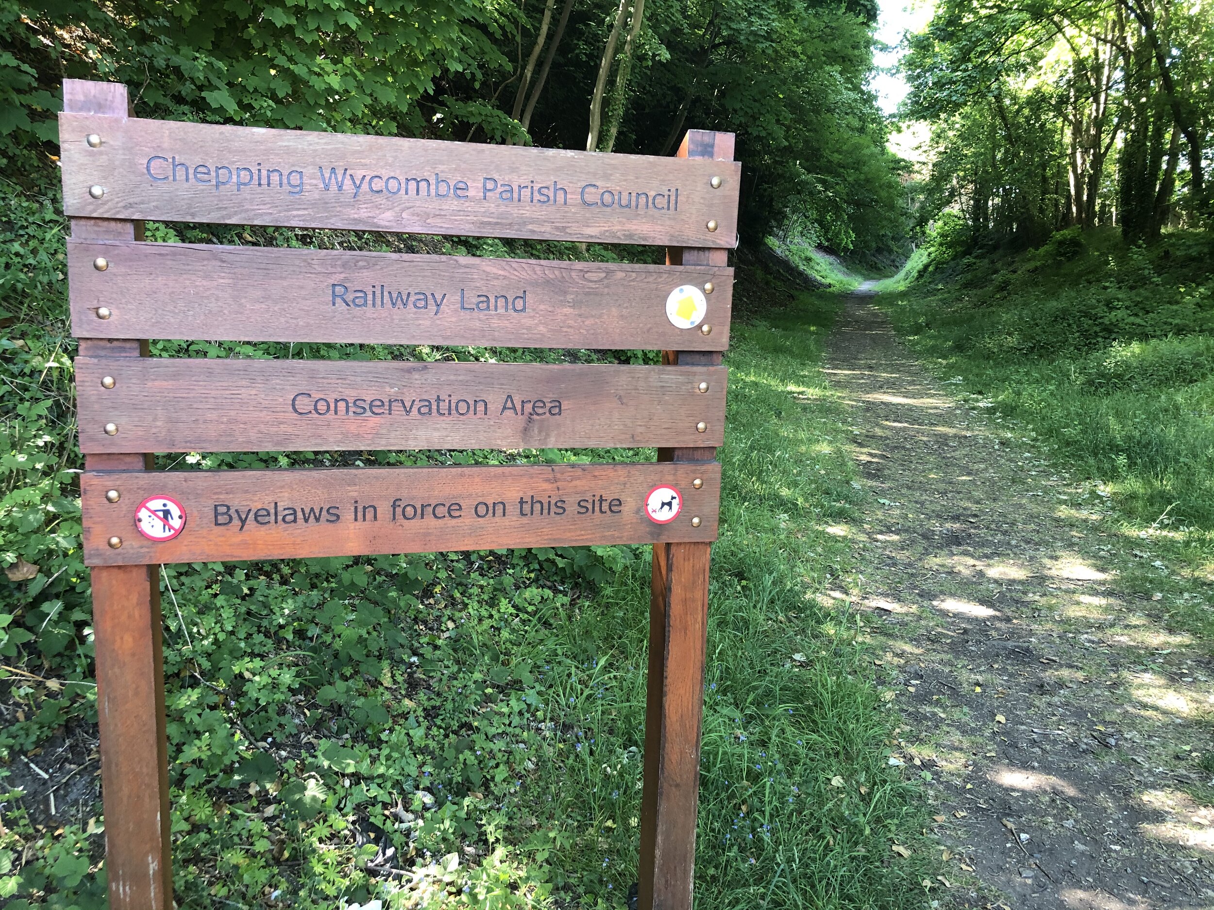
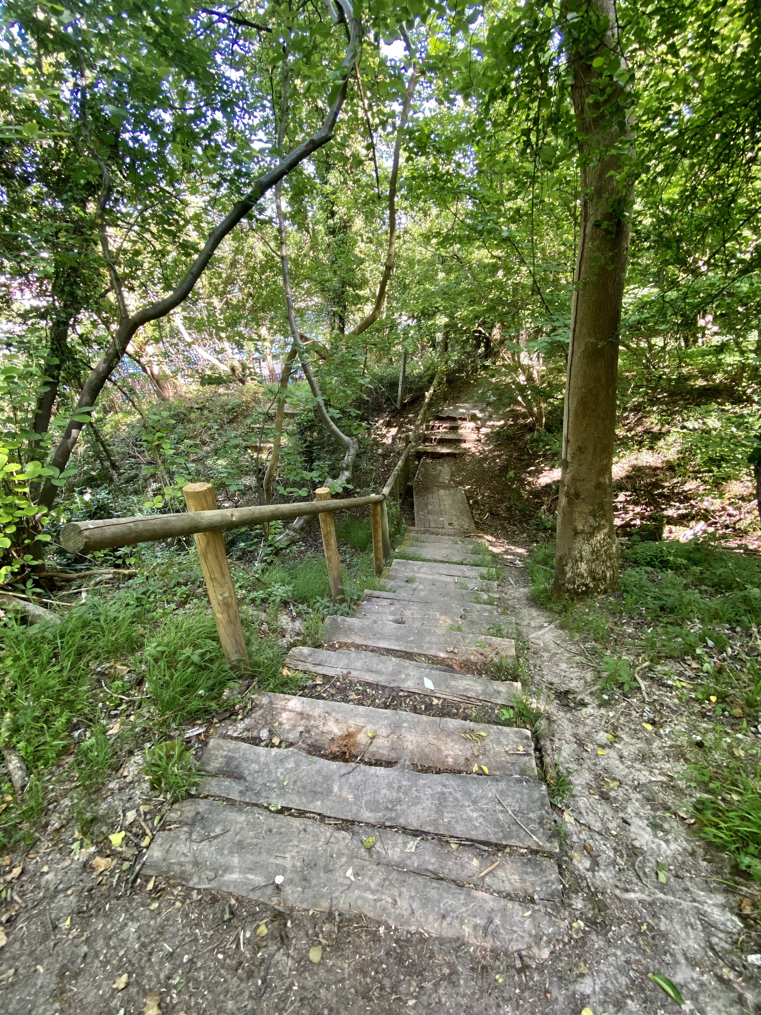
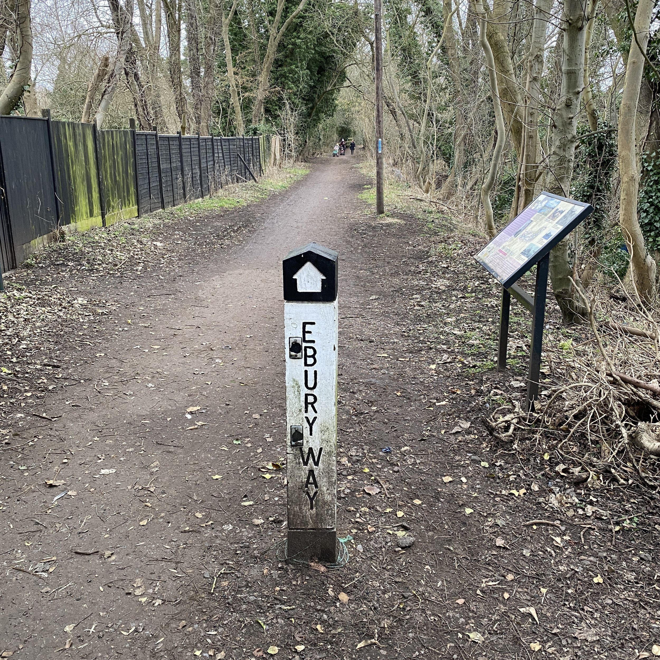
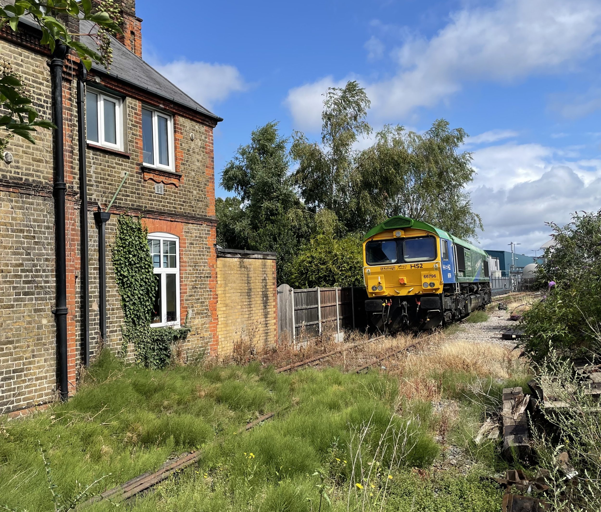
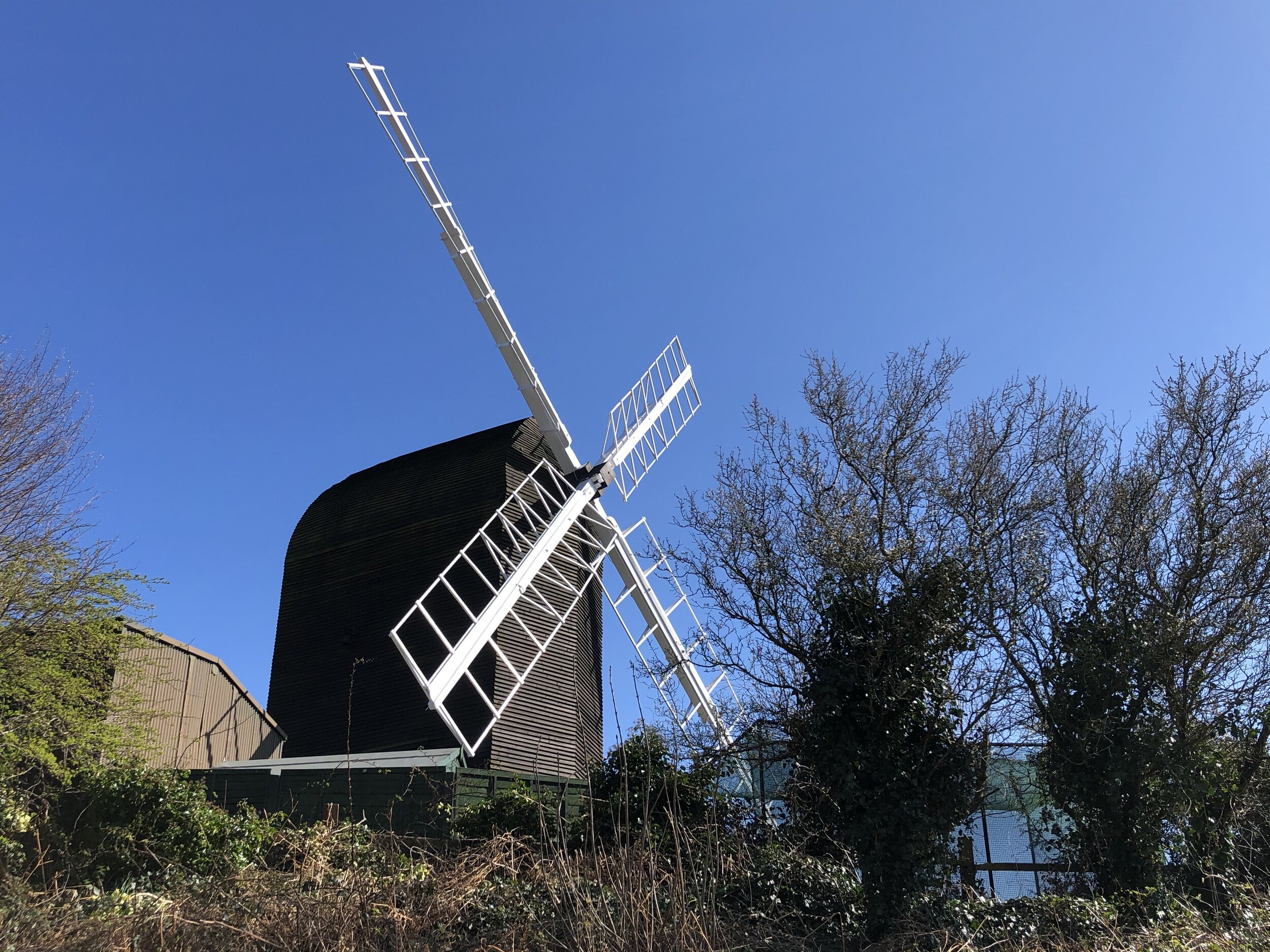
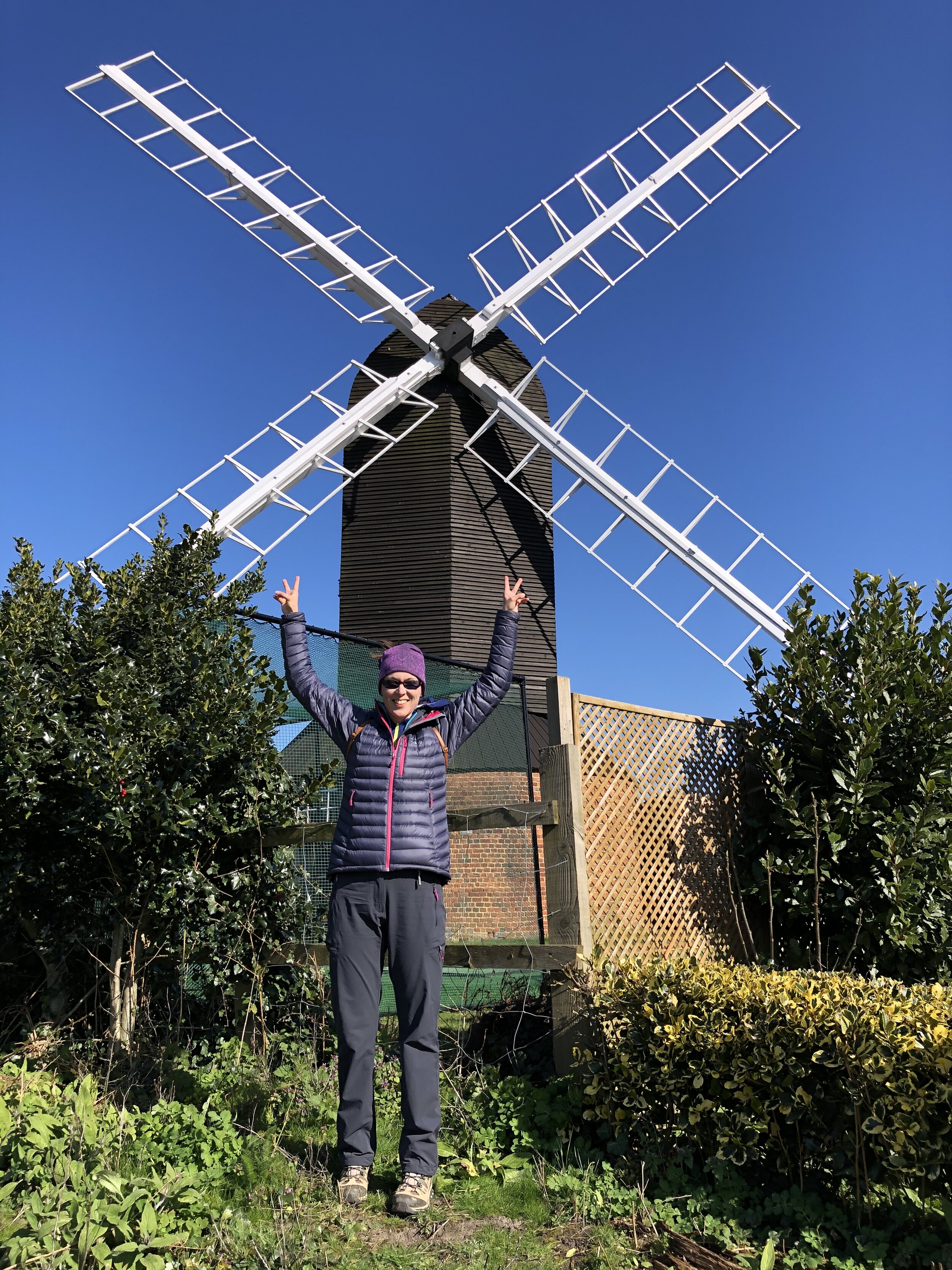
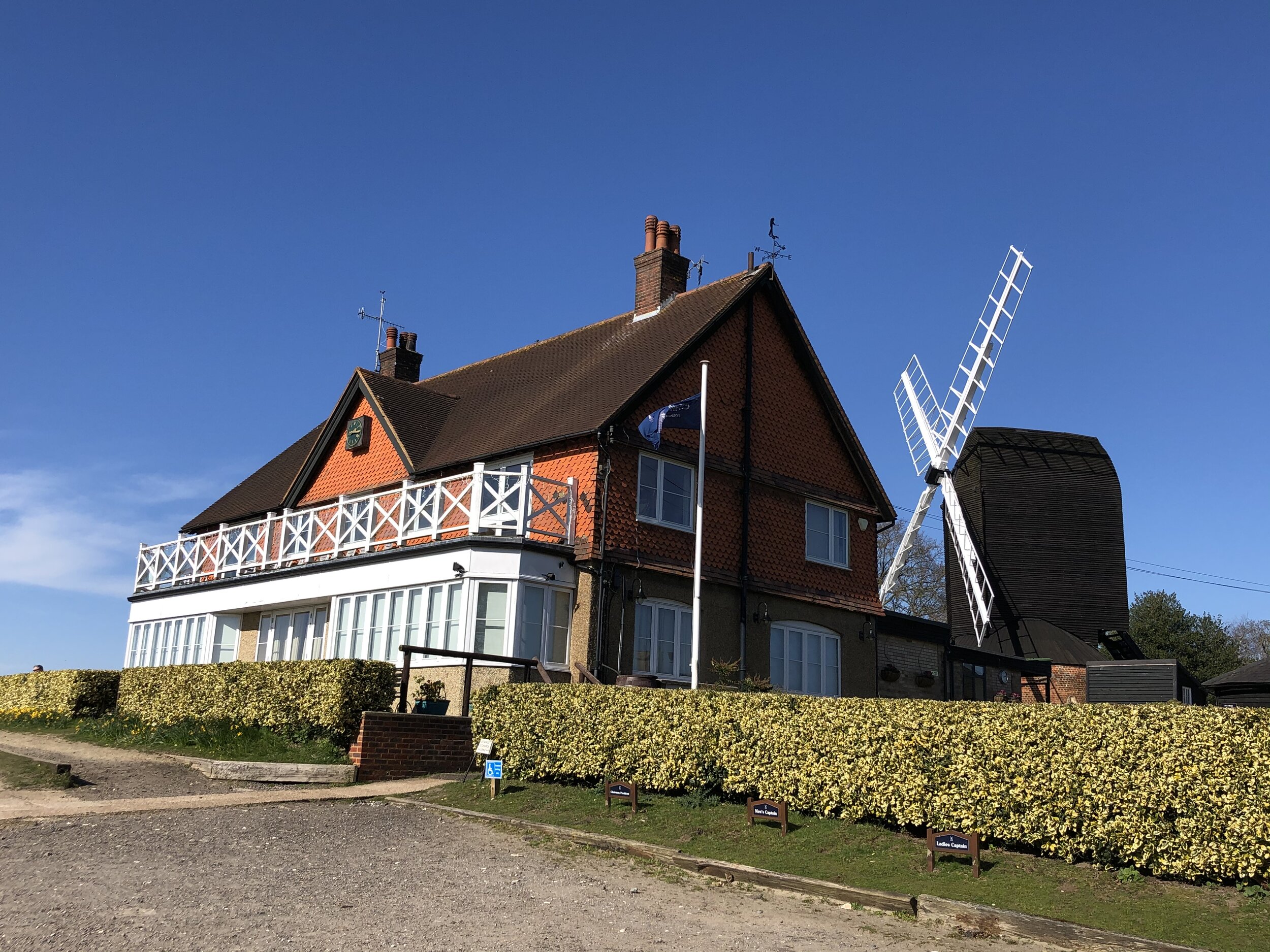
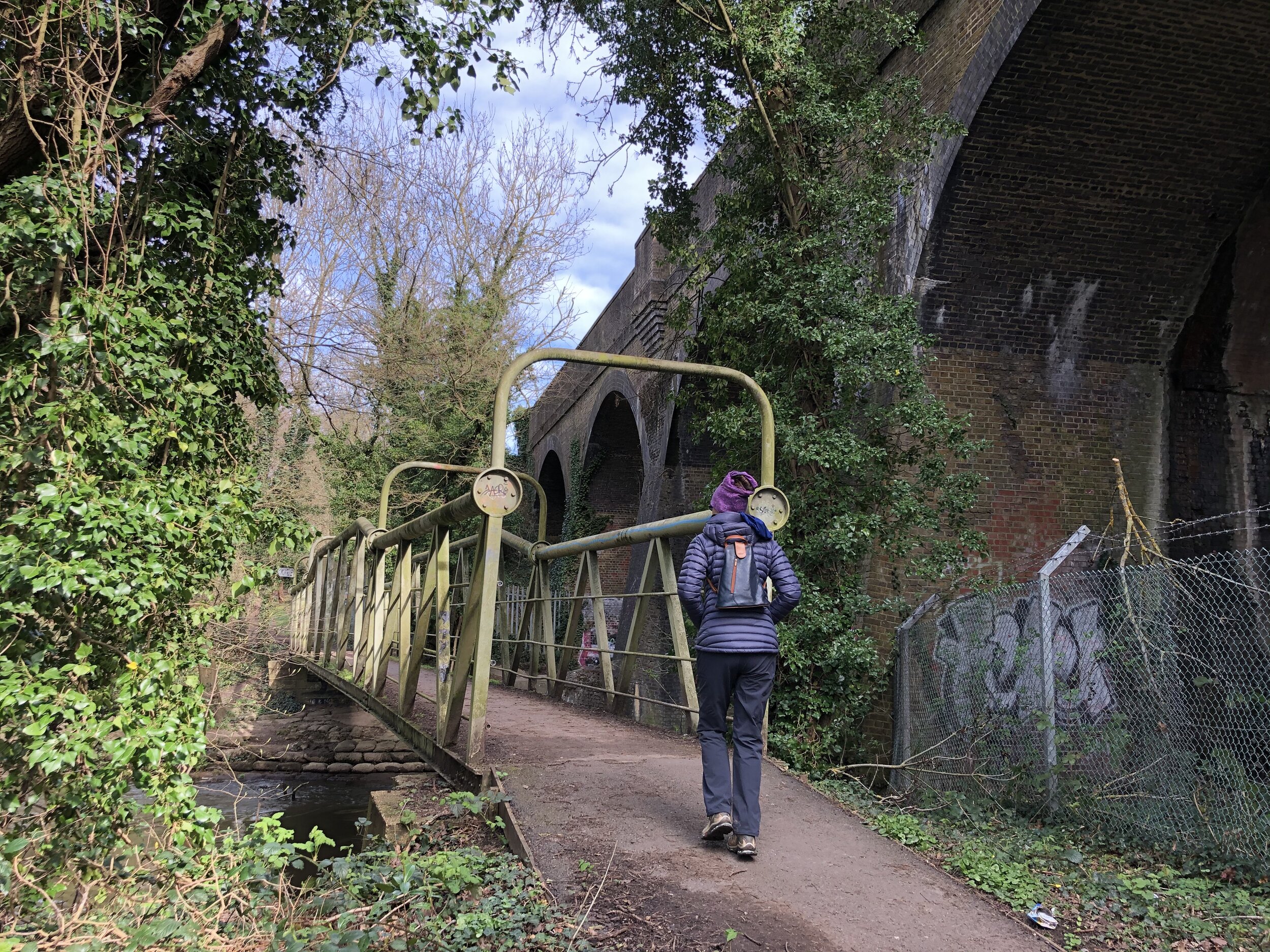
Leave the Chiltern Way immediately after the railway underpass by taking the footpath on the left. You’ll follow a wooded trail parallel to the rail line for just over 1 km taking you into Chorleywood Village Centre. Take a left onto Shire Lane, cross under the rail line again then first right onto Station Approach. If you arrived by tube or train you’ll be back to the start at Chorleywood station. Continue along Station Approach a bit further to reach the parking on Chorleywood Common.